Free Download World Maps in High-Resolution
Download world maps in a variety of styles: blank and grayscale outlines, political maps with countries and major cities, physical maps with latitude/longitude lines, continent maps, topographic maps, climate zones, geological maps, GDP per capita, UN HDI rankings, happiness indices, legal drinking age by country, food scarcity maps, megacity distributions, tectonic and earthquake activity maps, as well as antique and classic atlas designs.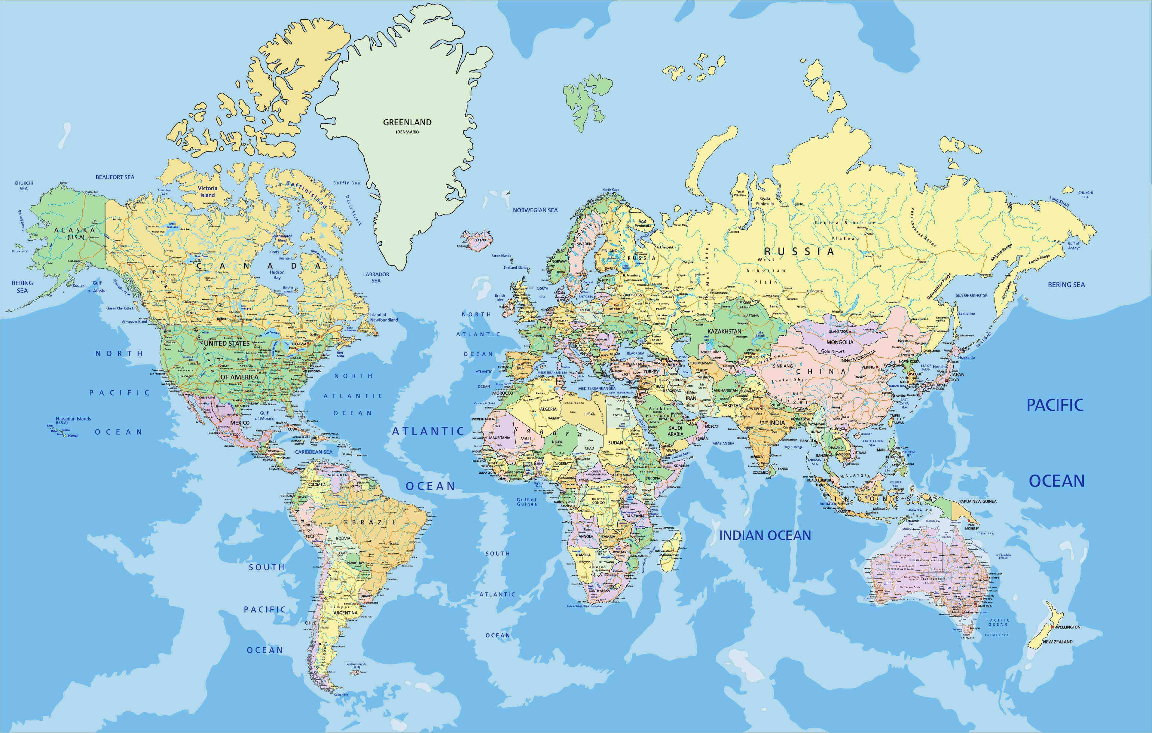
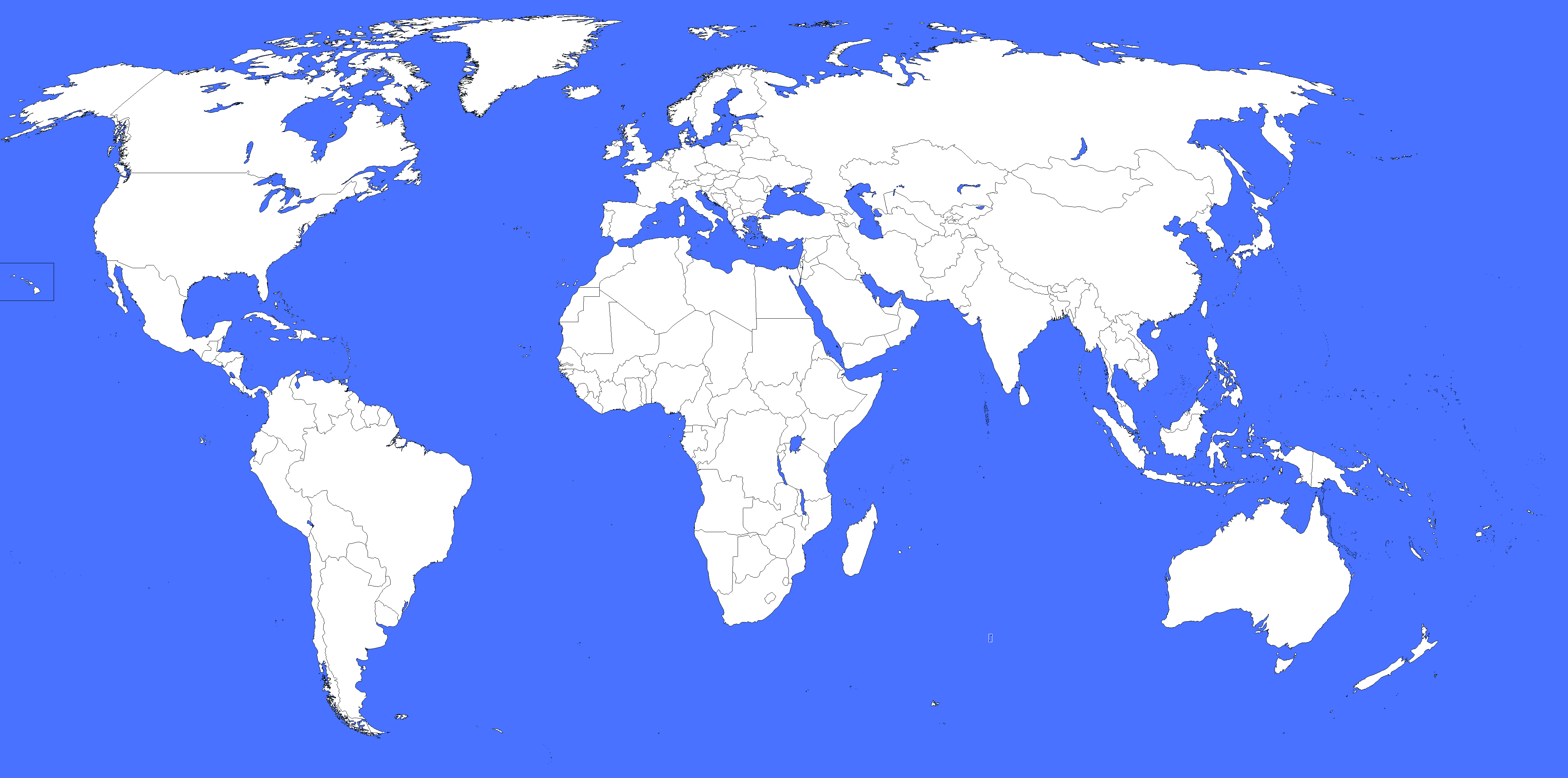
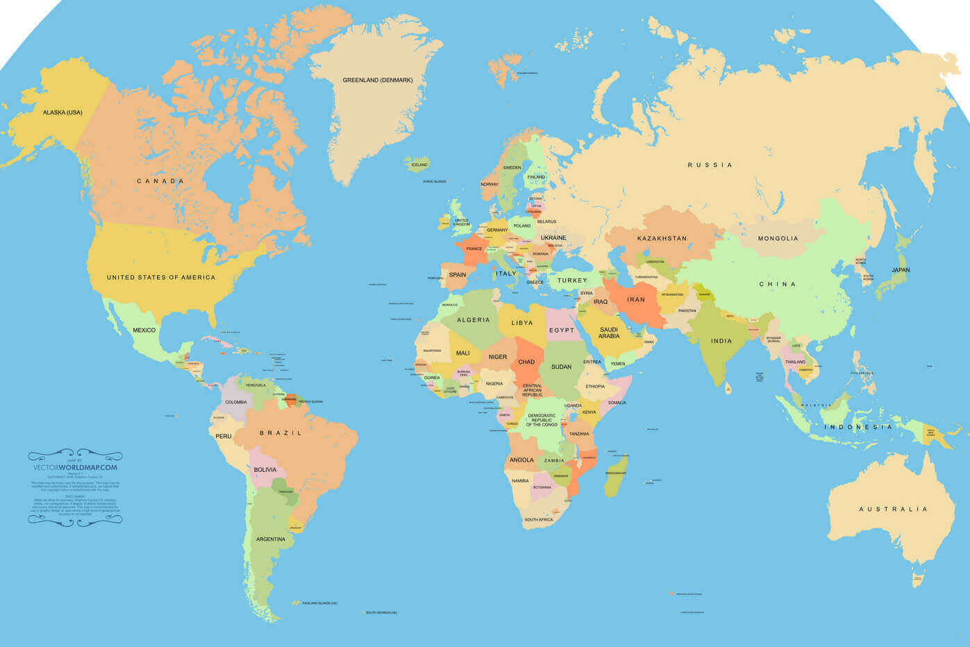
Download Detailed World Map with Countries and Oceans
 World map showing countries, capitals, and oceans in detail.
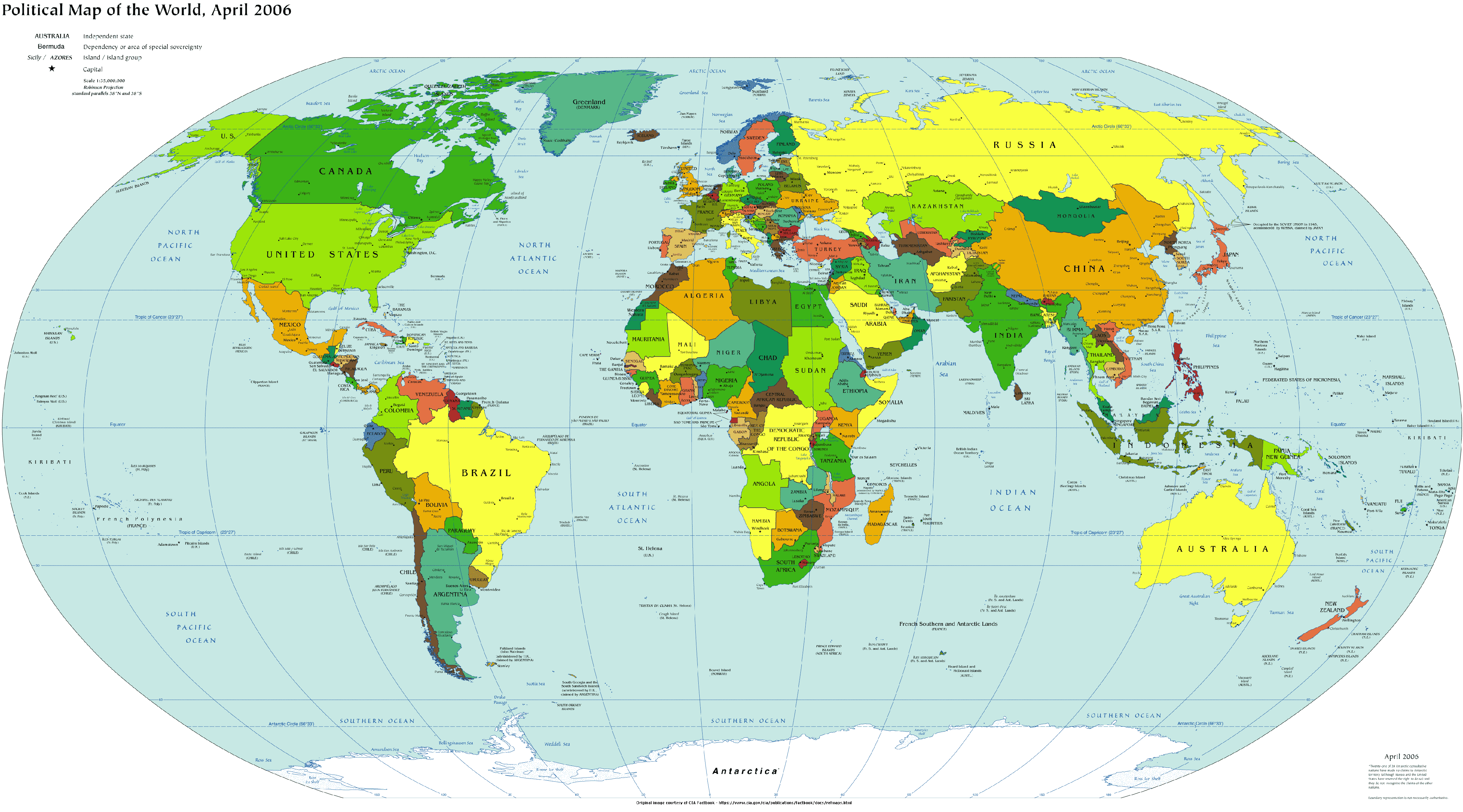
Download Political Map of the World with Countries and Borders
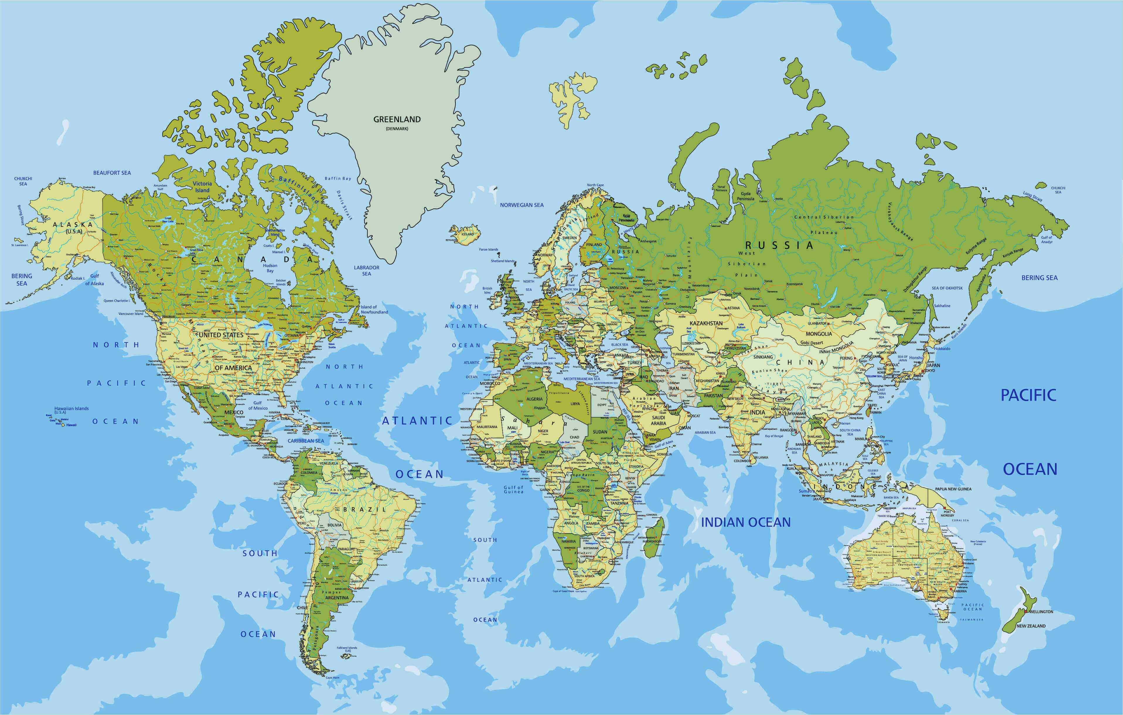
 Political world map showing countries and international borders.
Download countries maps of the World
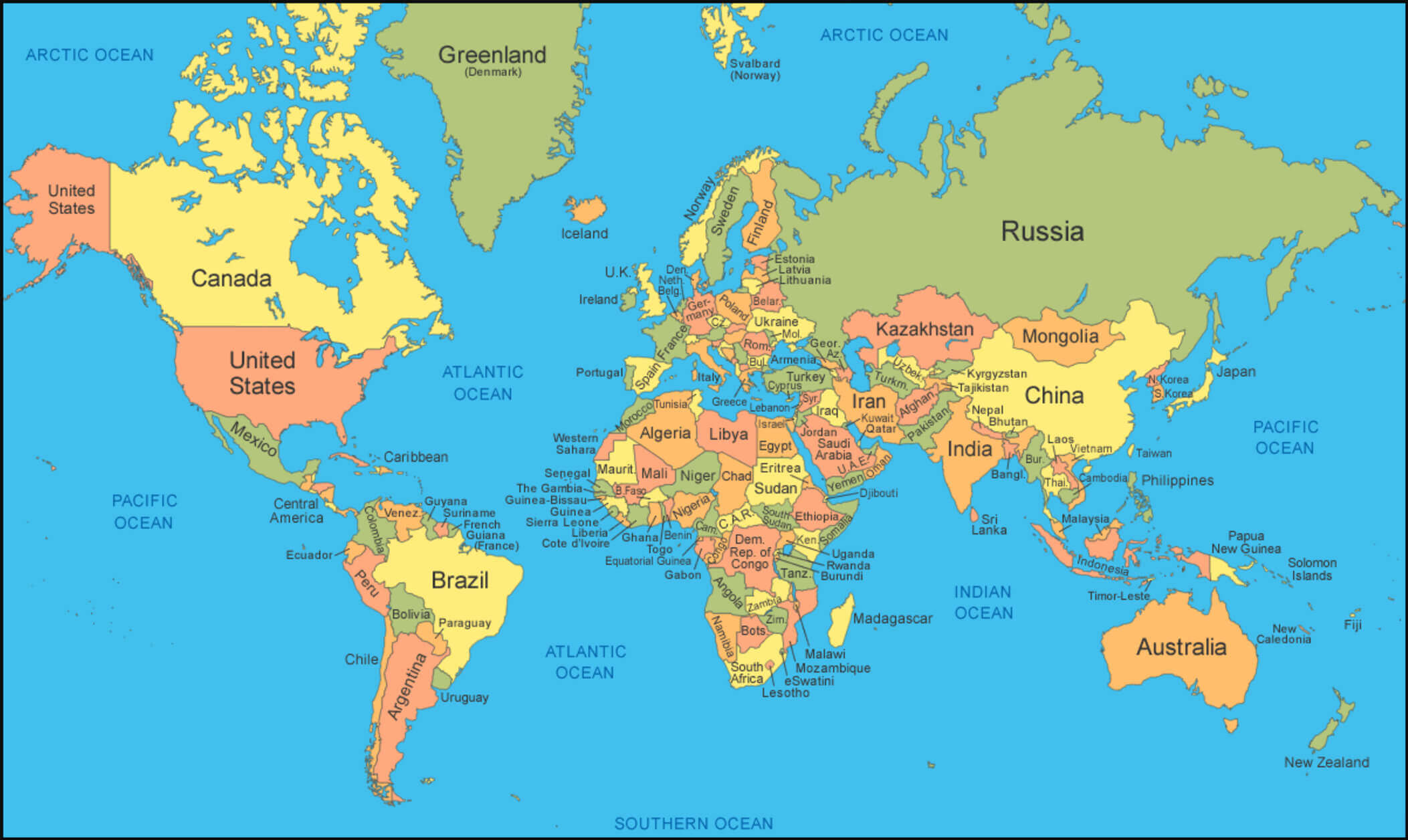
Download political map of the World with major cities
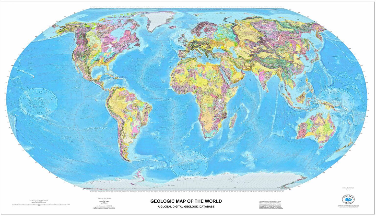
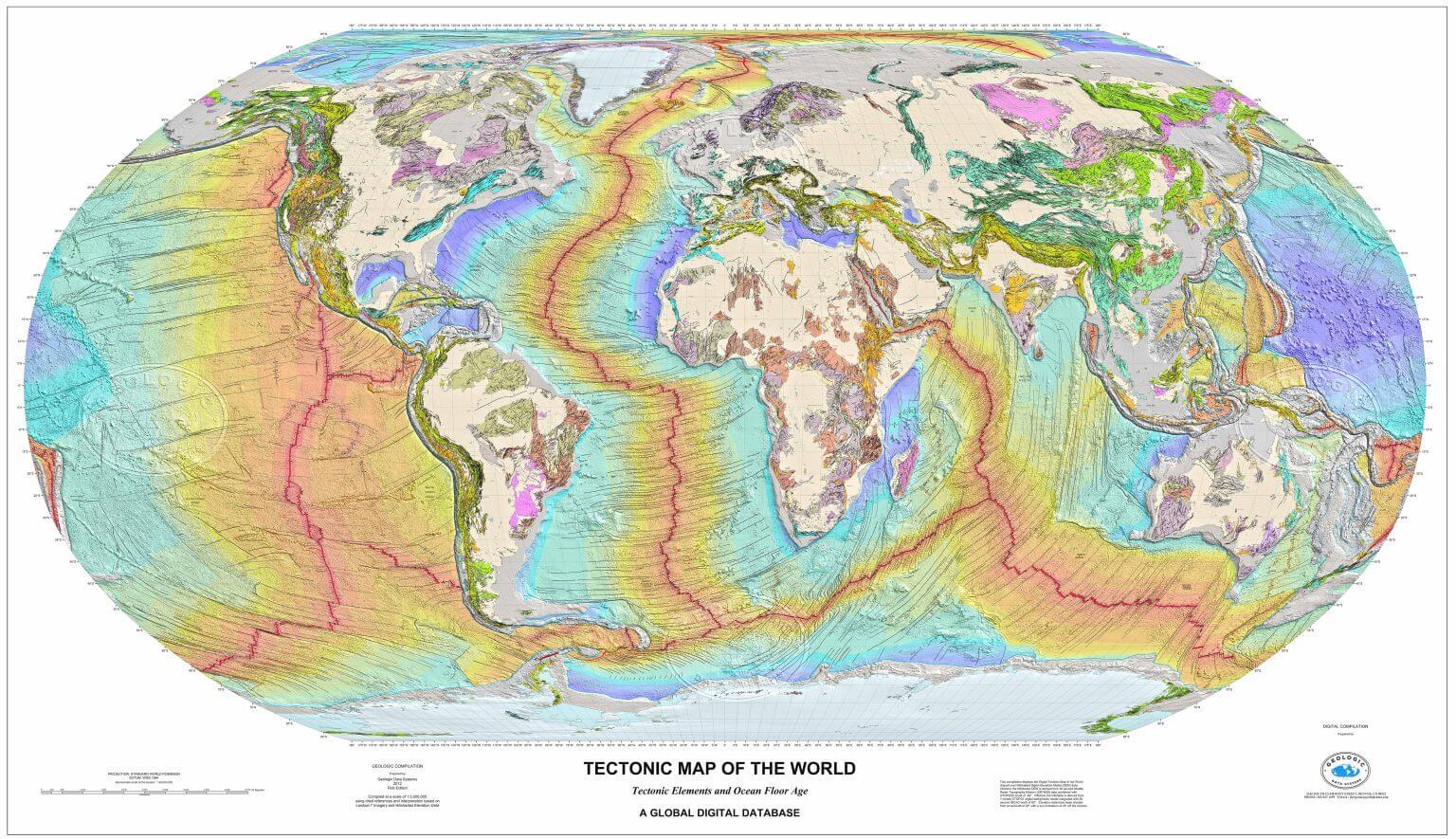
Download World geological map
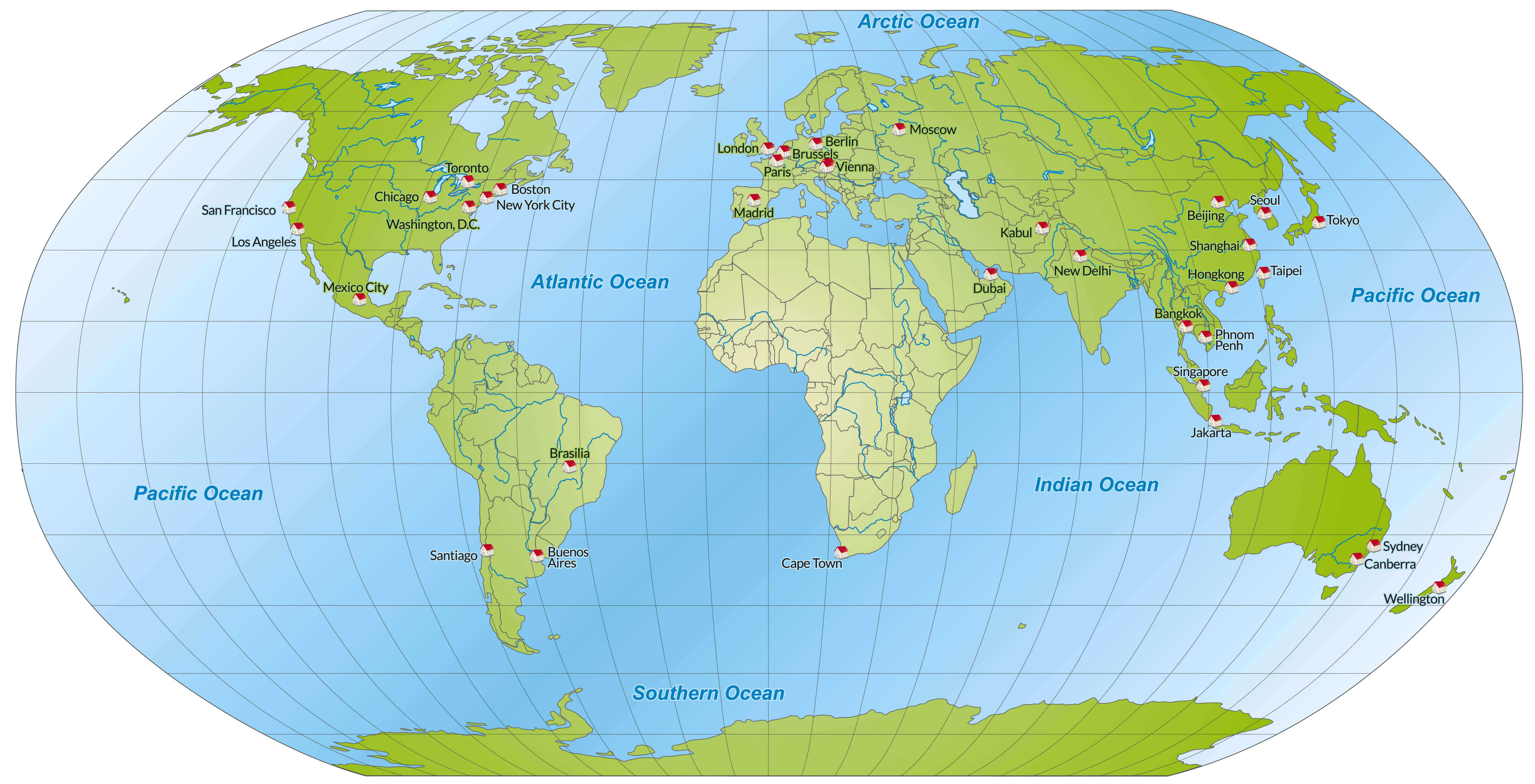
Download World map with major cities
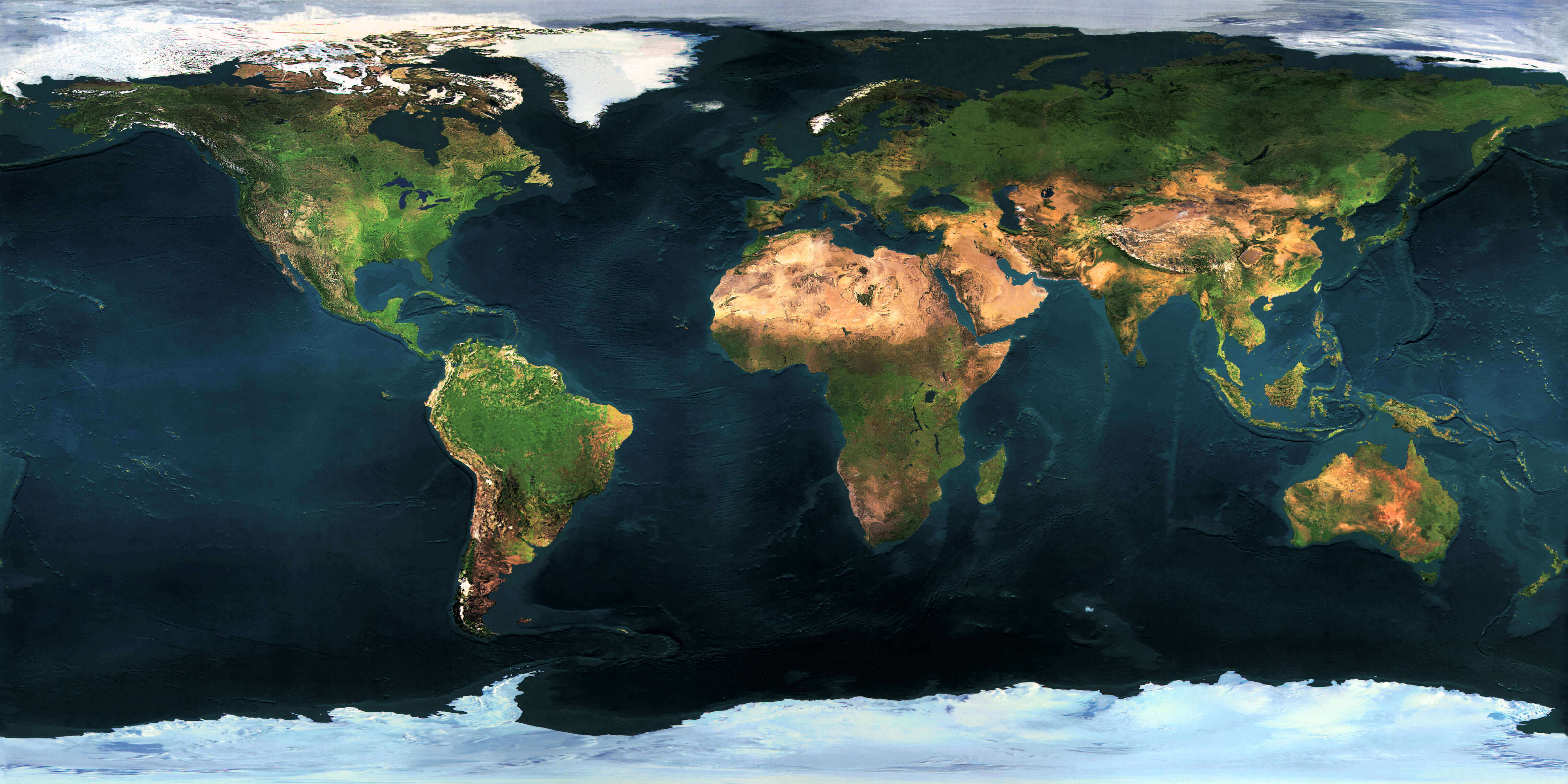
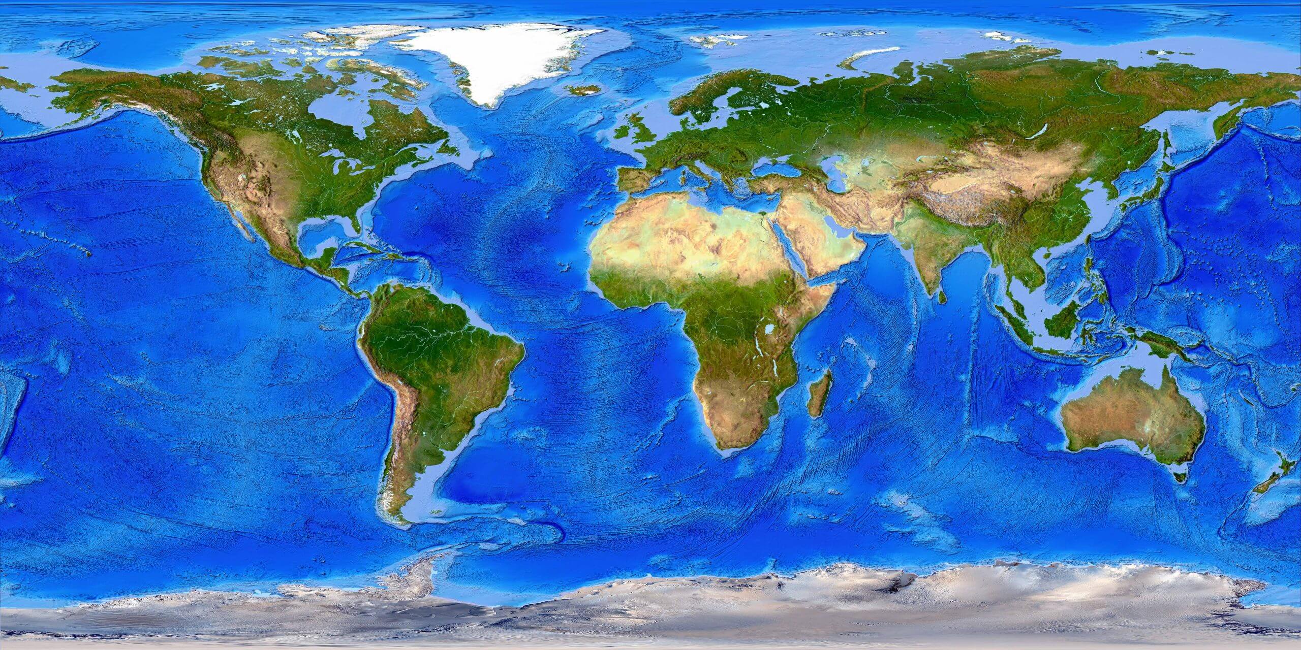
Download free Earth map
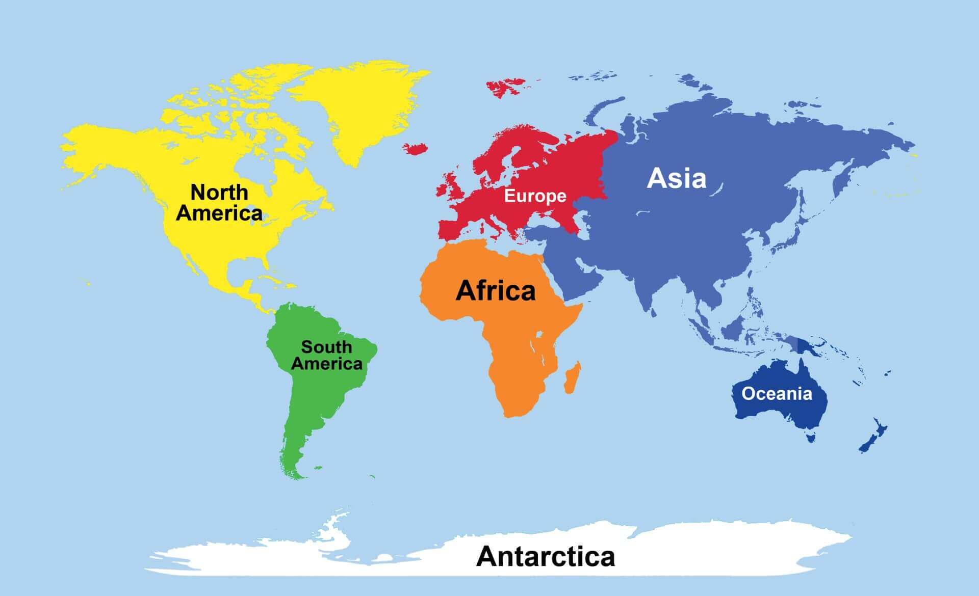
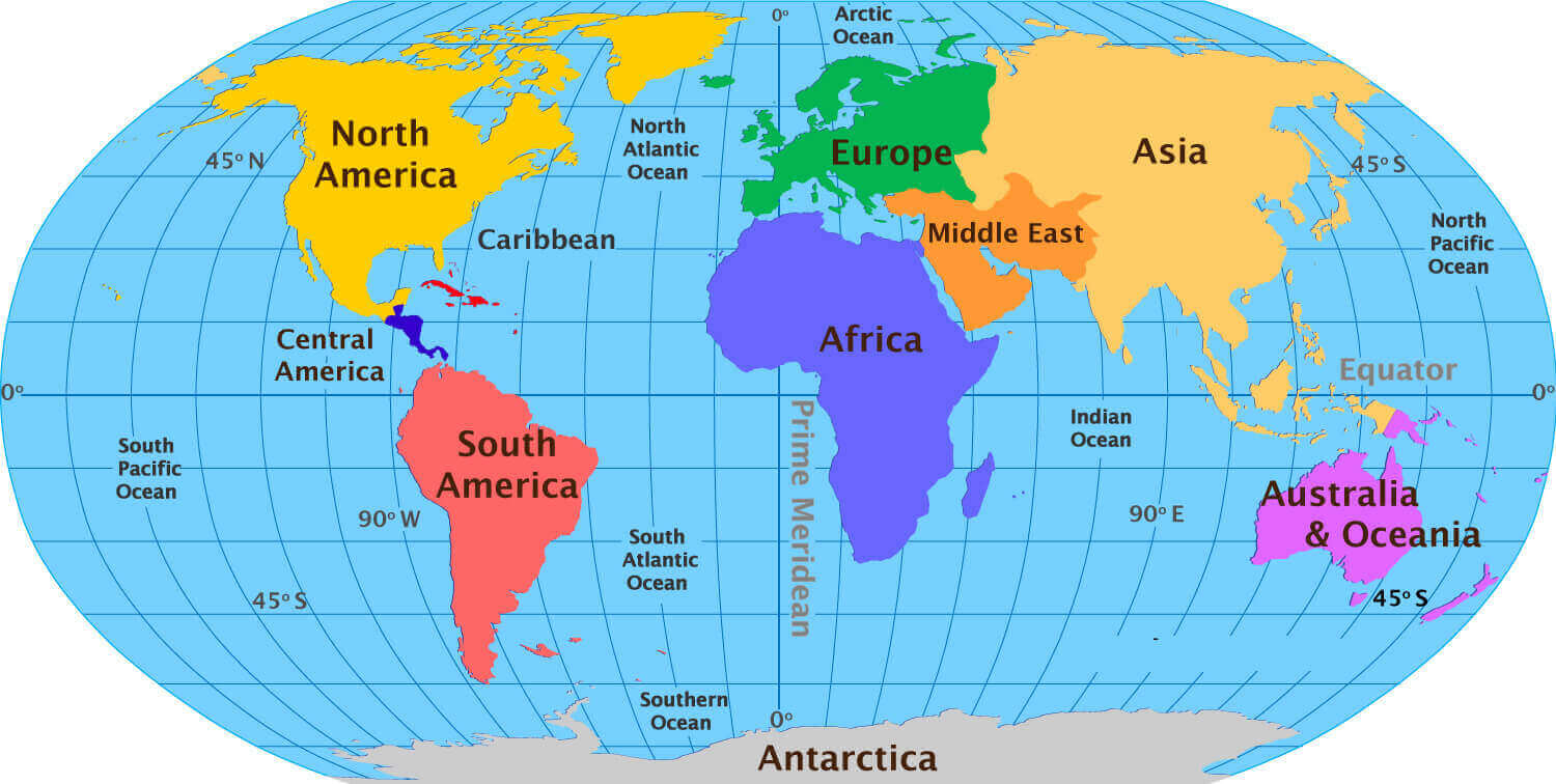
Download blank World continents map
Download blank World map
Download large World wallpaper map
Download map of the World
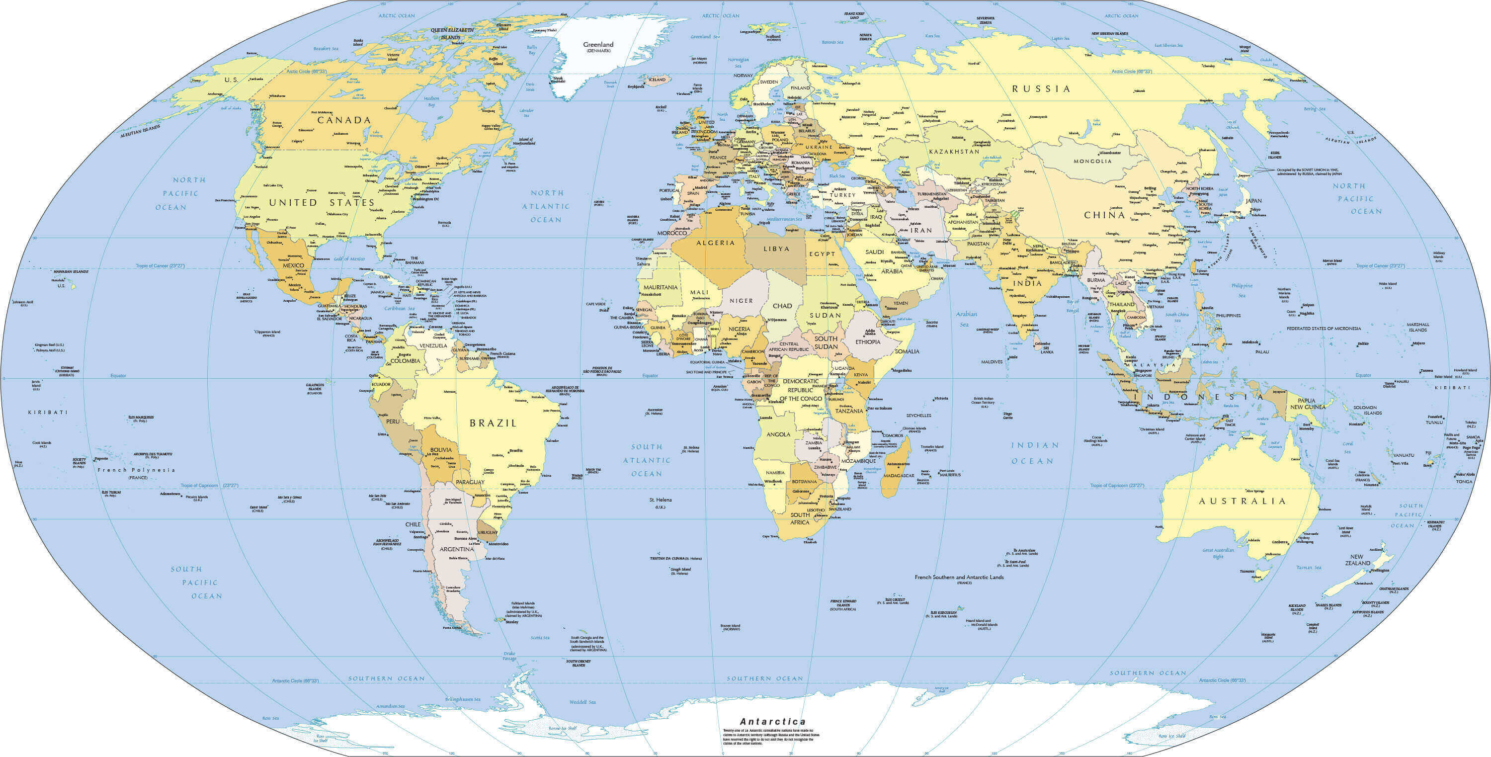
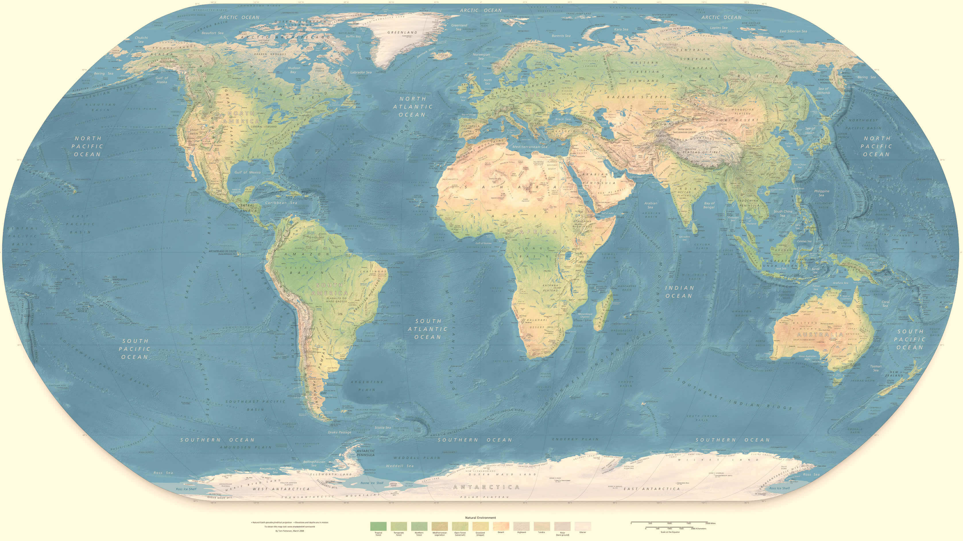
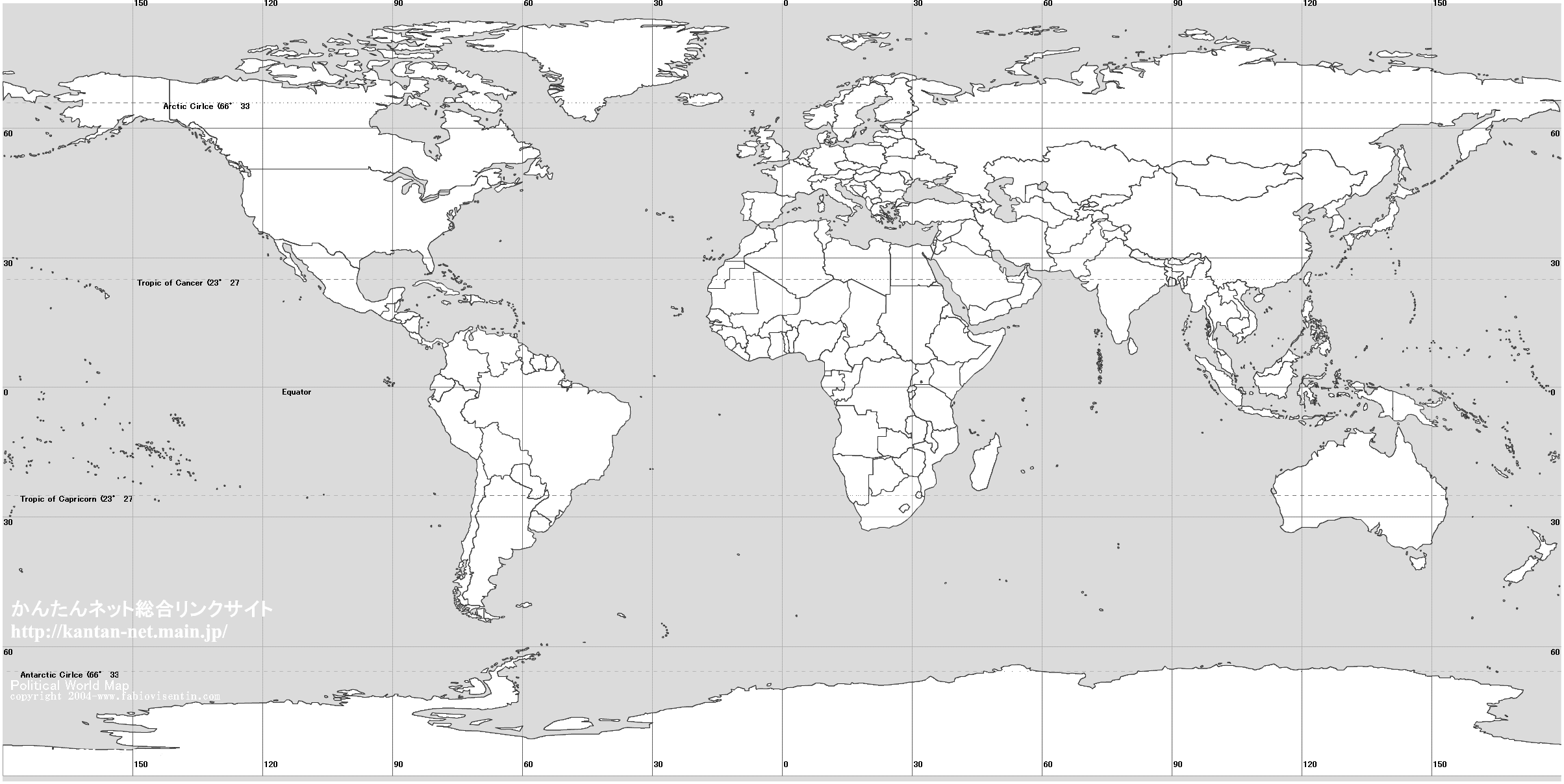
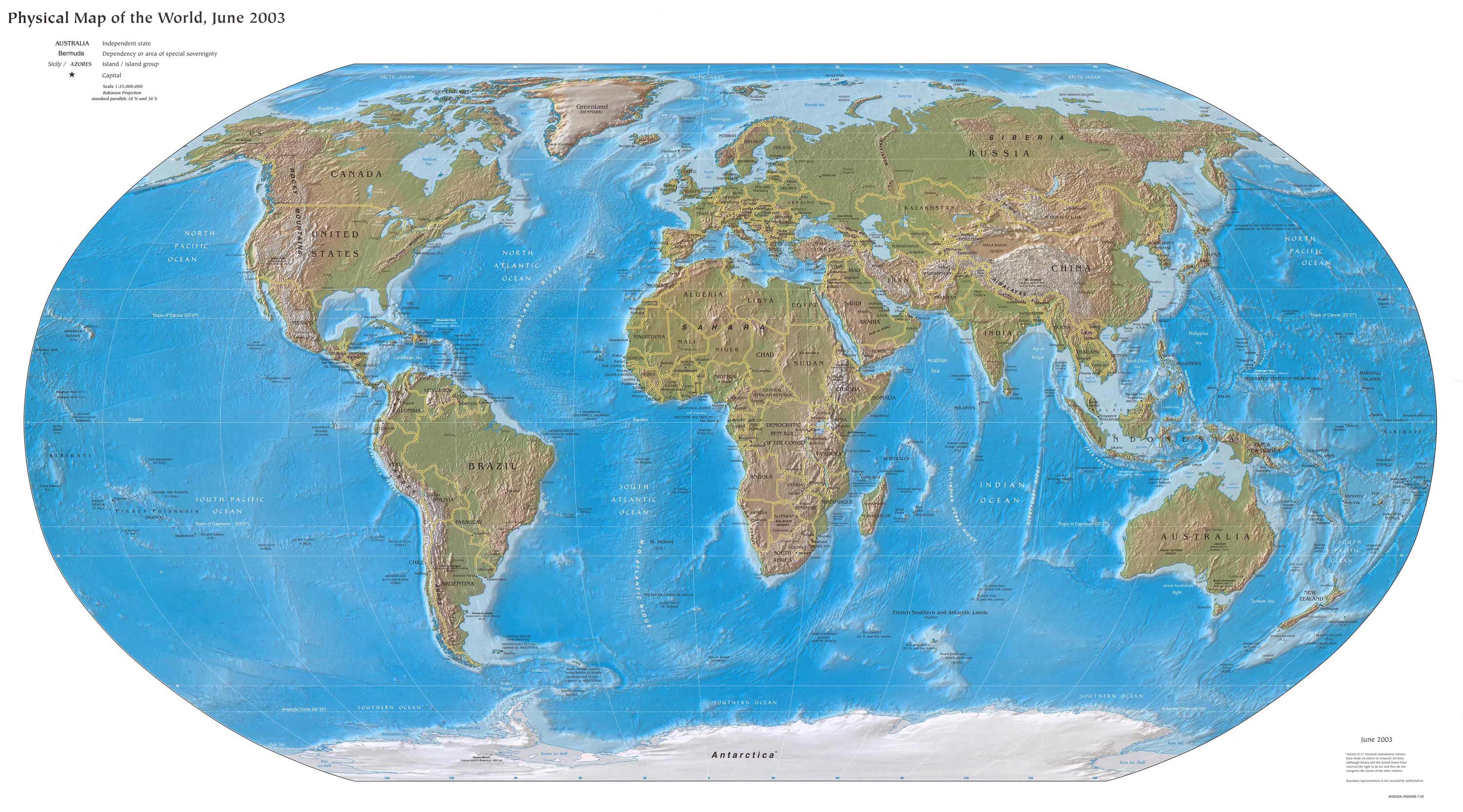
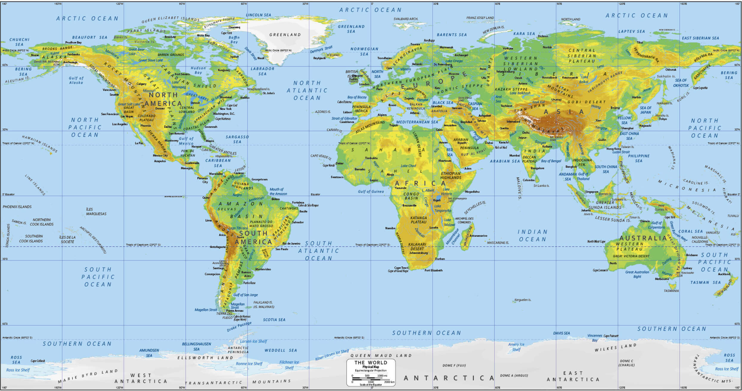
Download physical map of the World with latitude and longitude
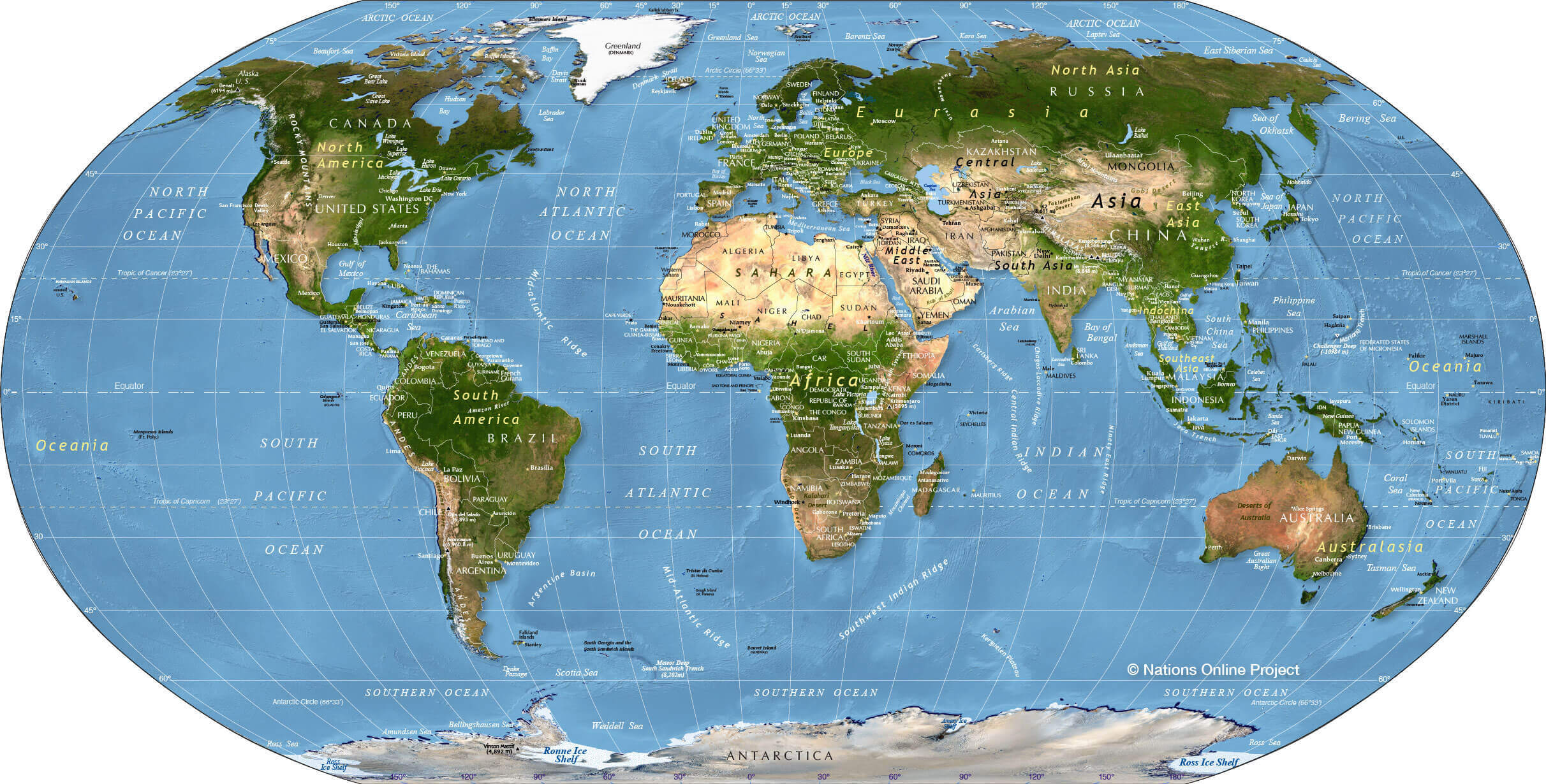
Download physical map of World with continents
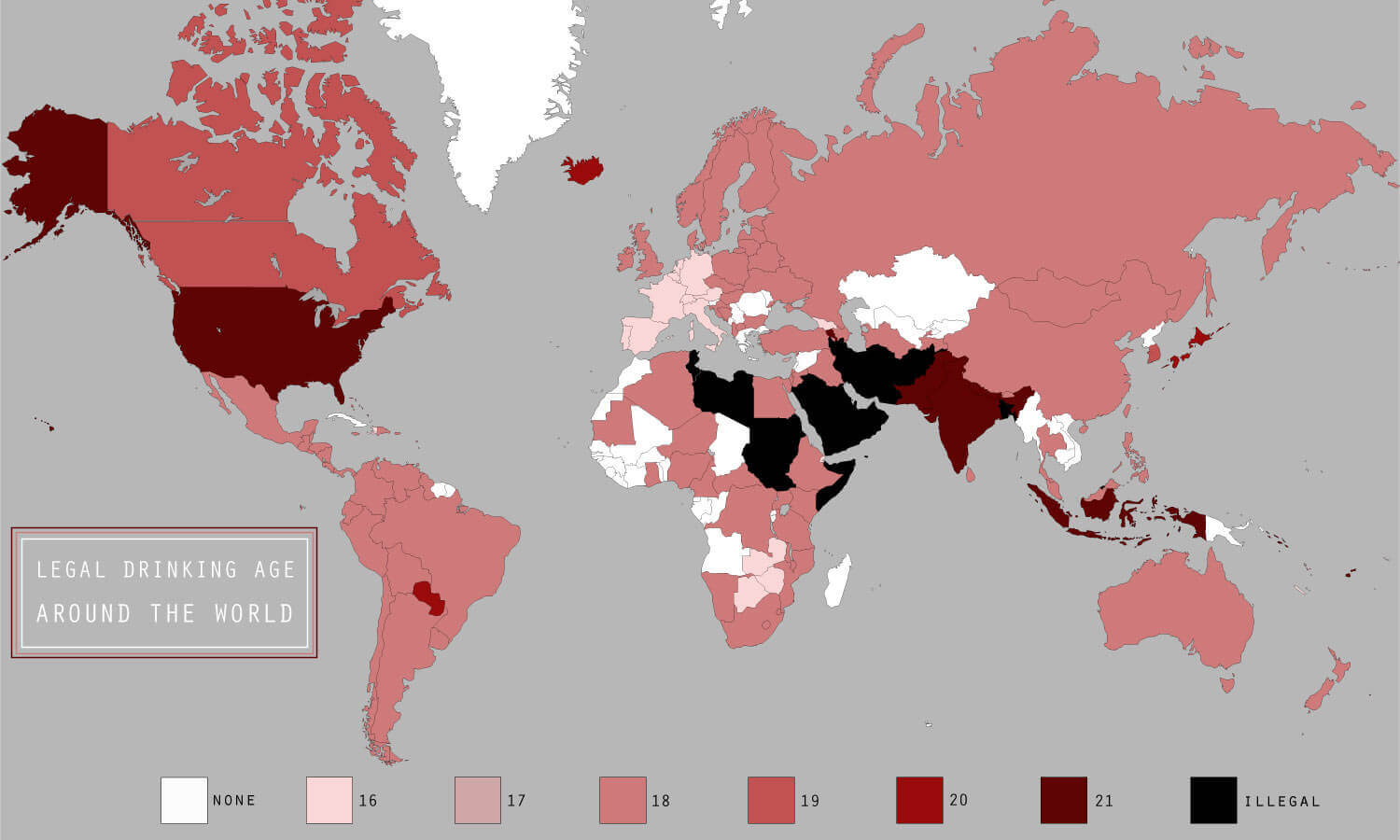
Download World alcohol age map
Download World atlas
Download World blank topographic map
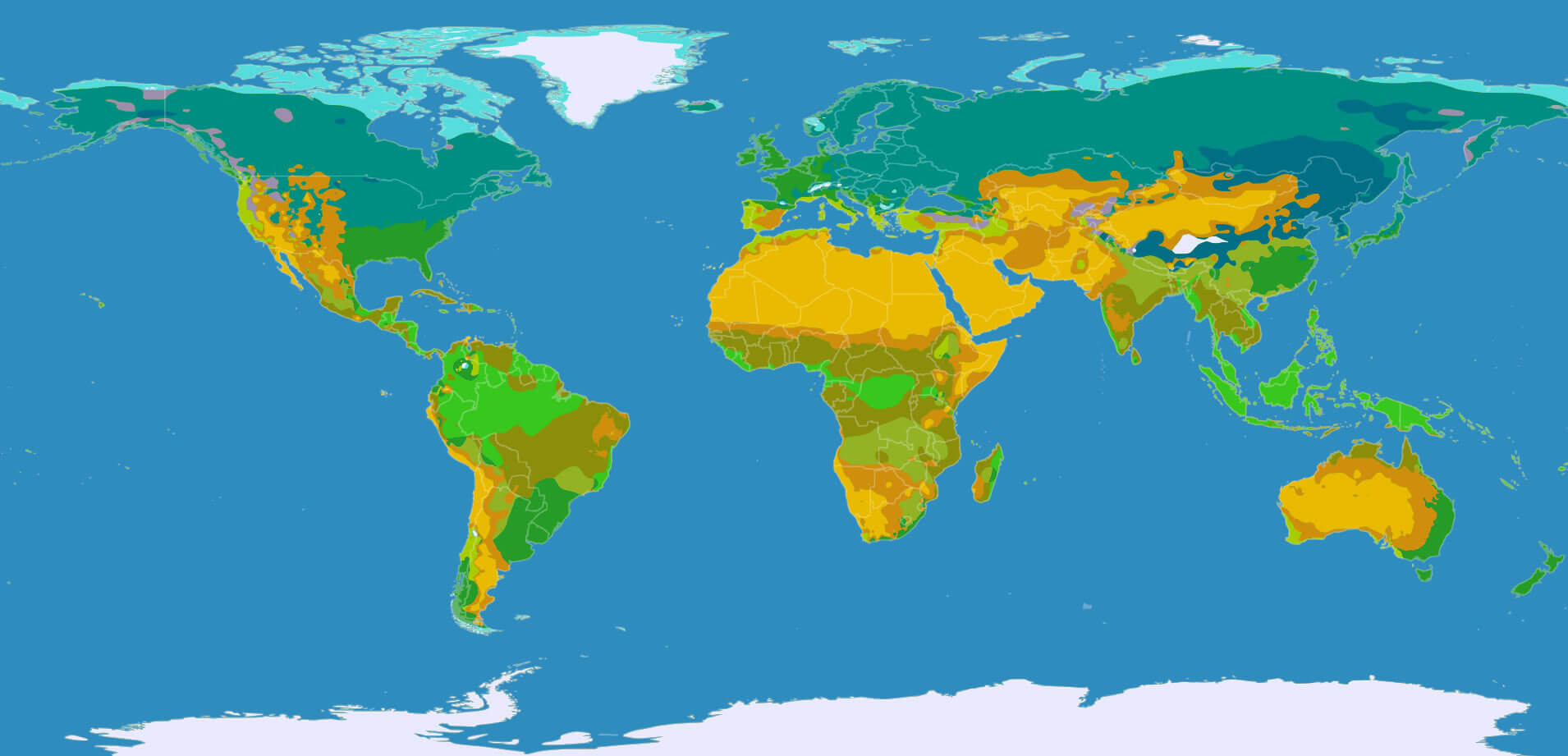
Download World climate map
Download World continents map
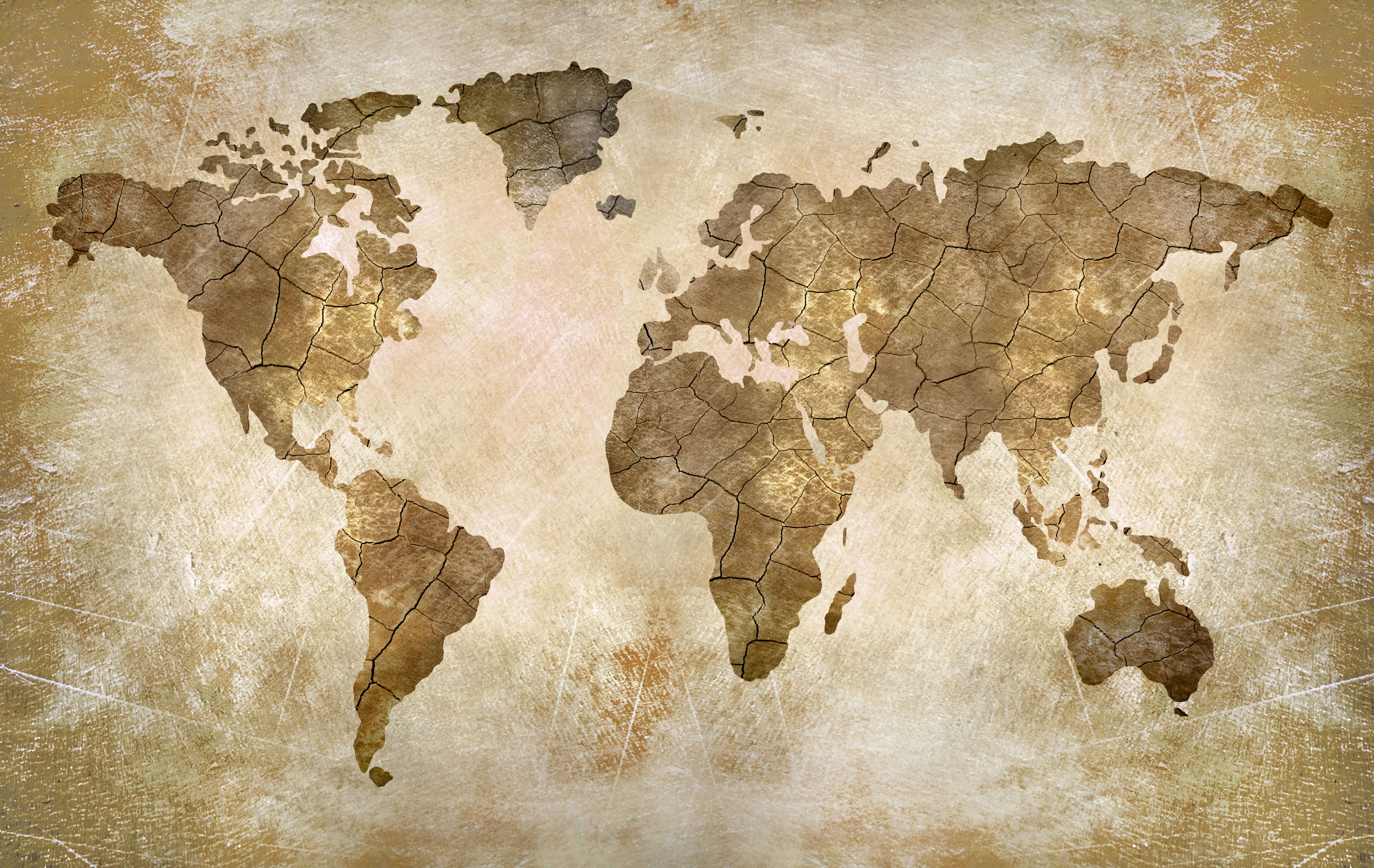
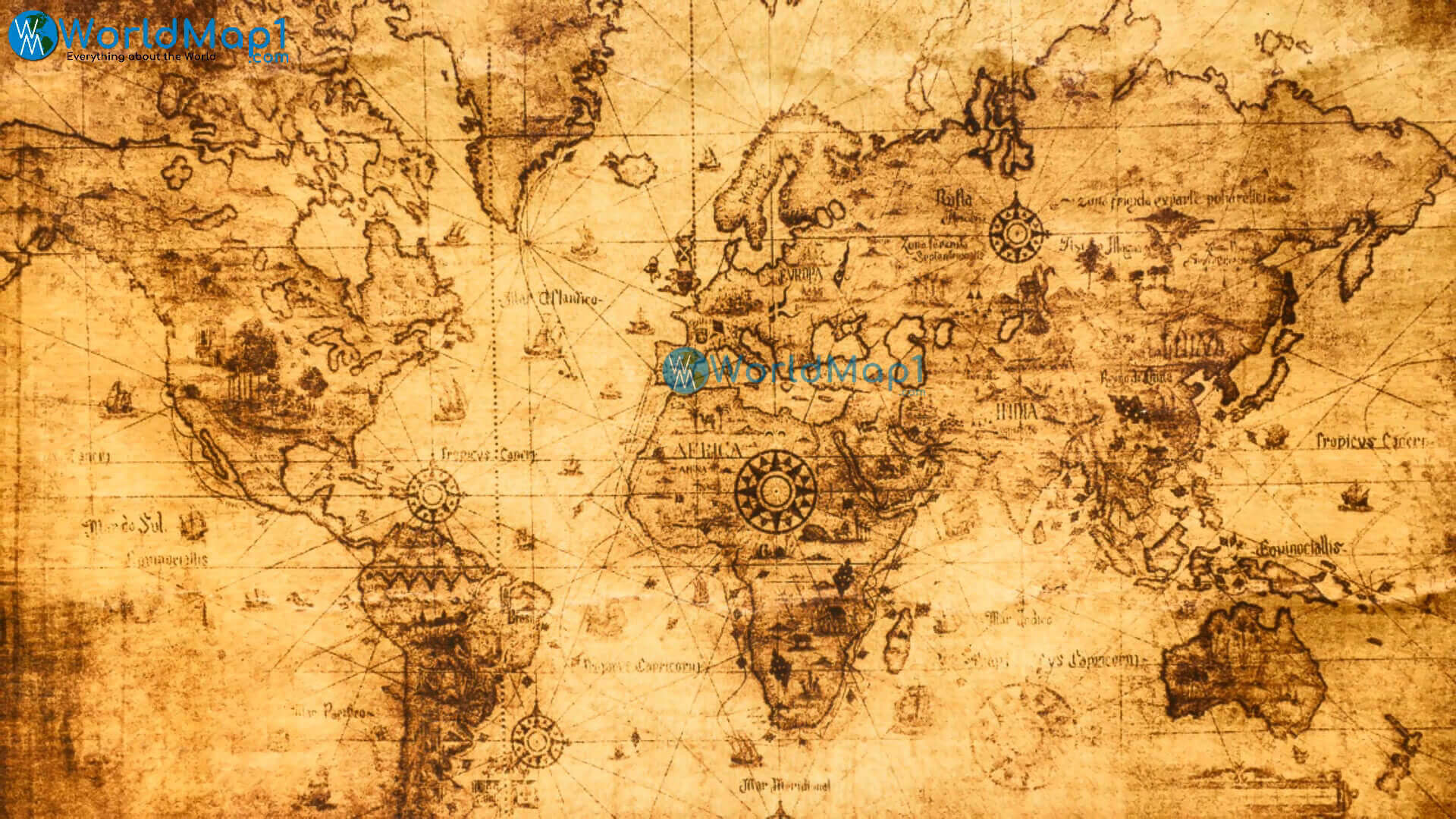
Download World countries antique map
Download World countries blank map
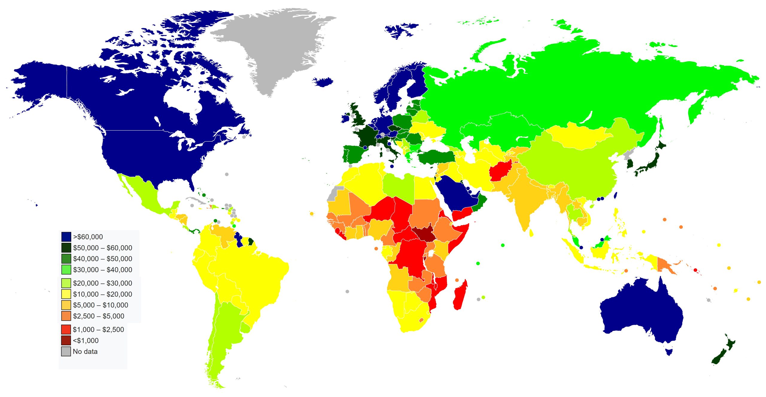
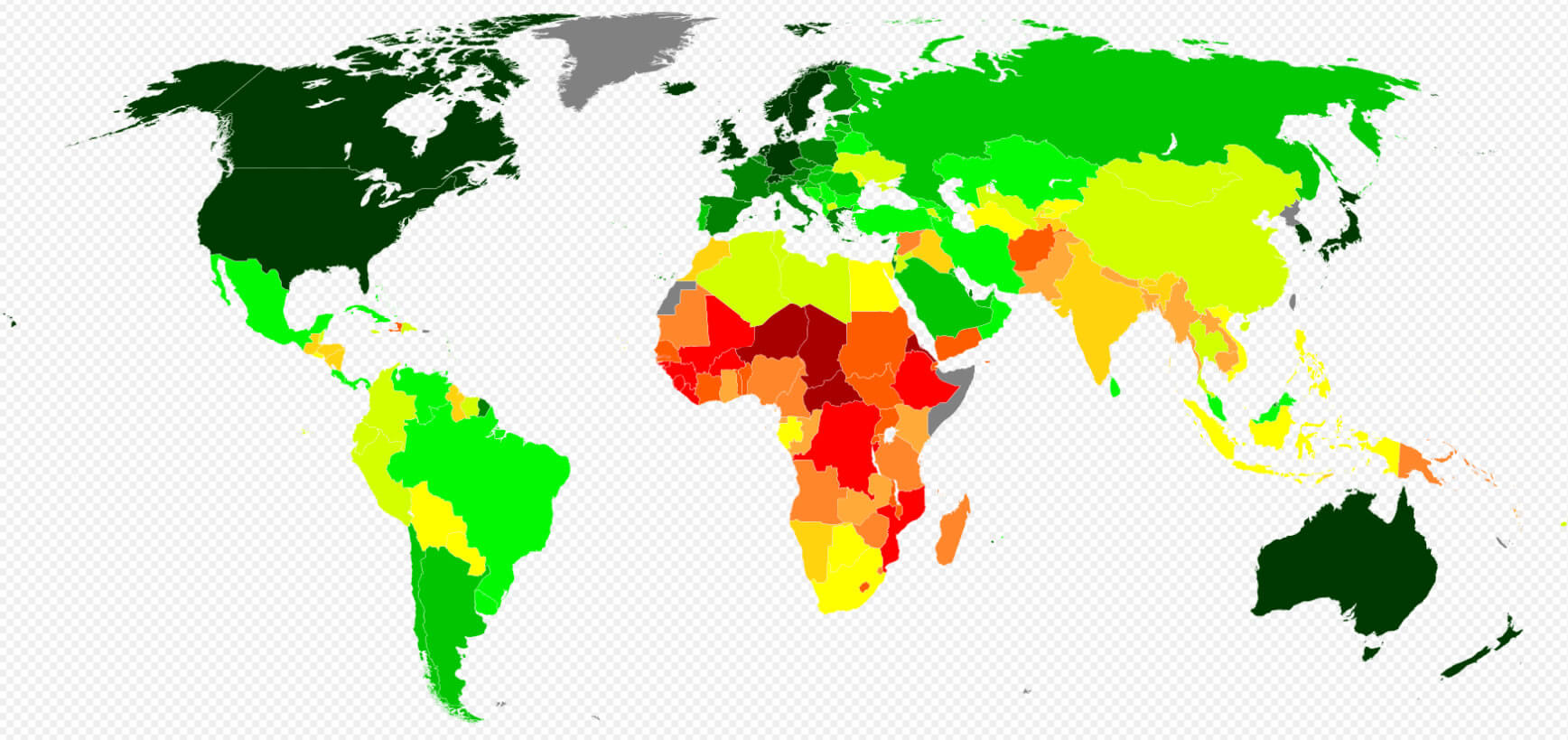
Download World countries by GDP per capita map 2023
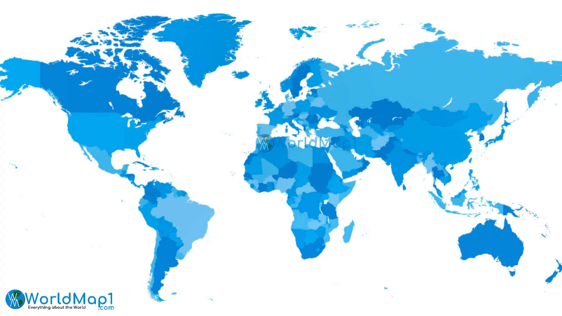
Download World countries national borders map
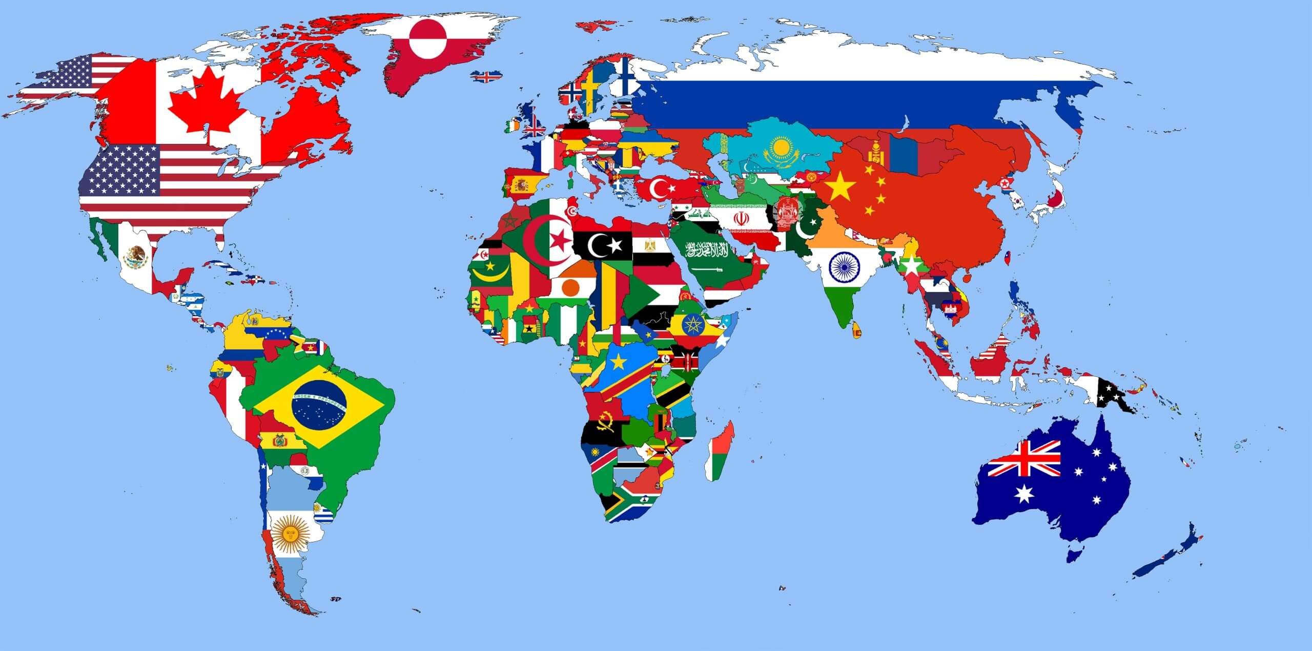
Download World flag map
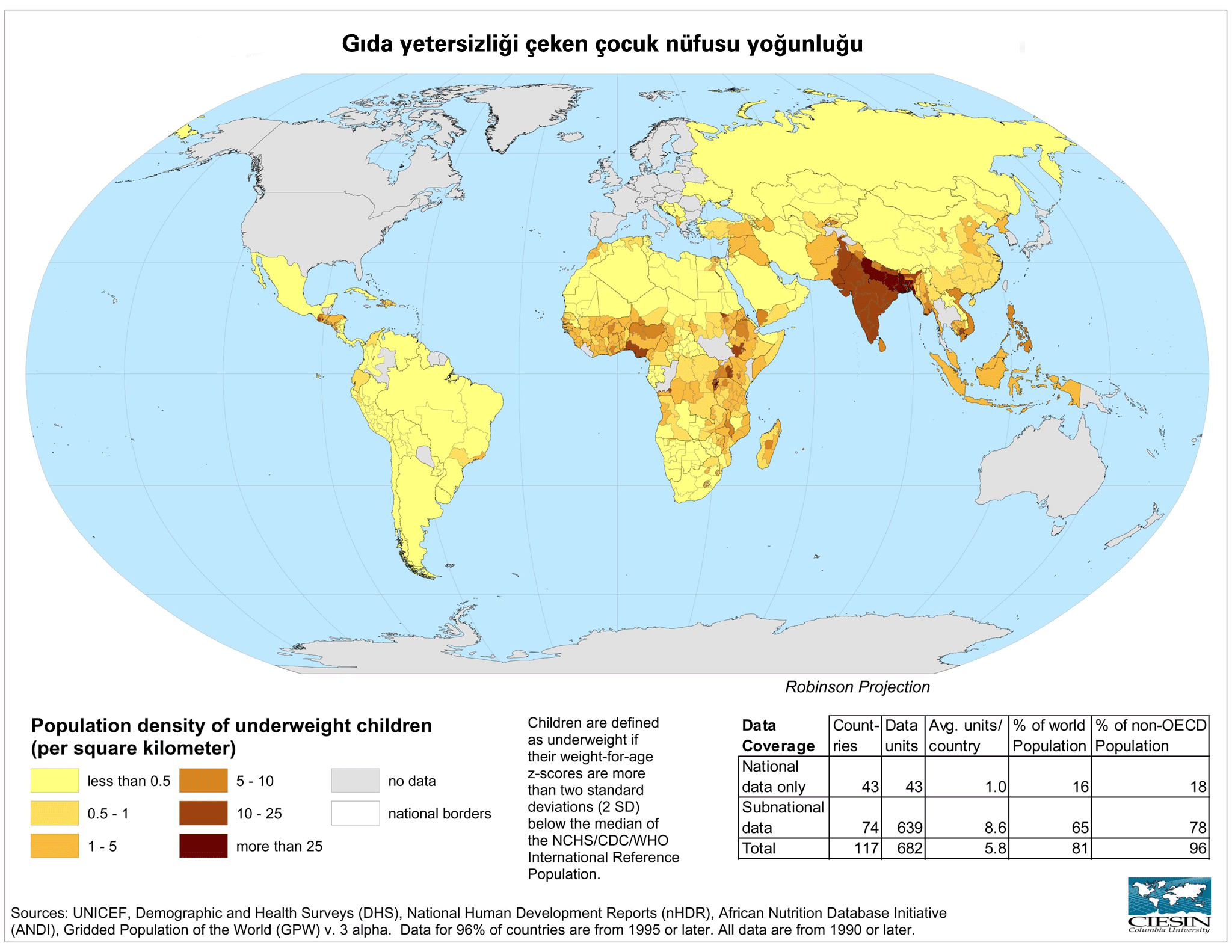
Download World food shortage map
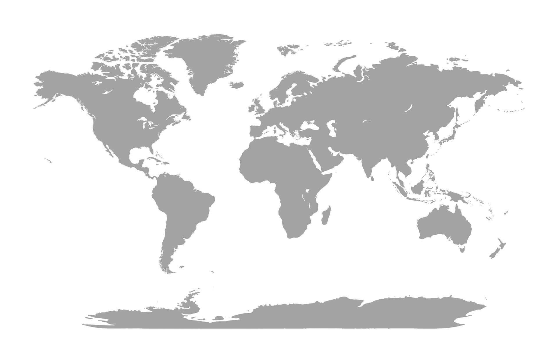
Download World gray blank map
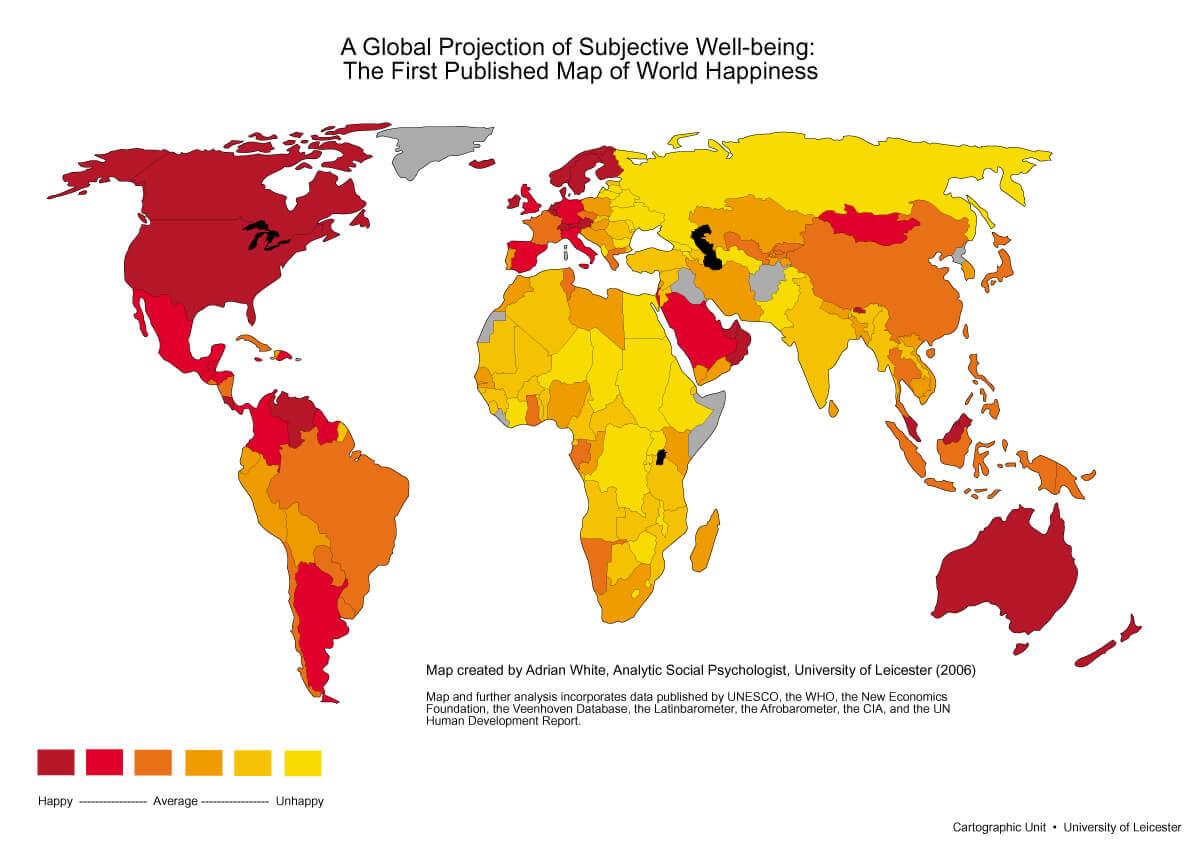
Download World happiness map
Download World map white black
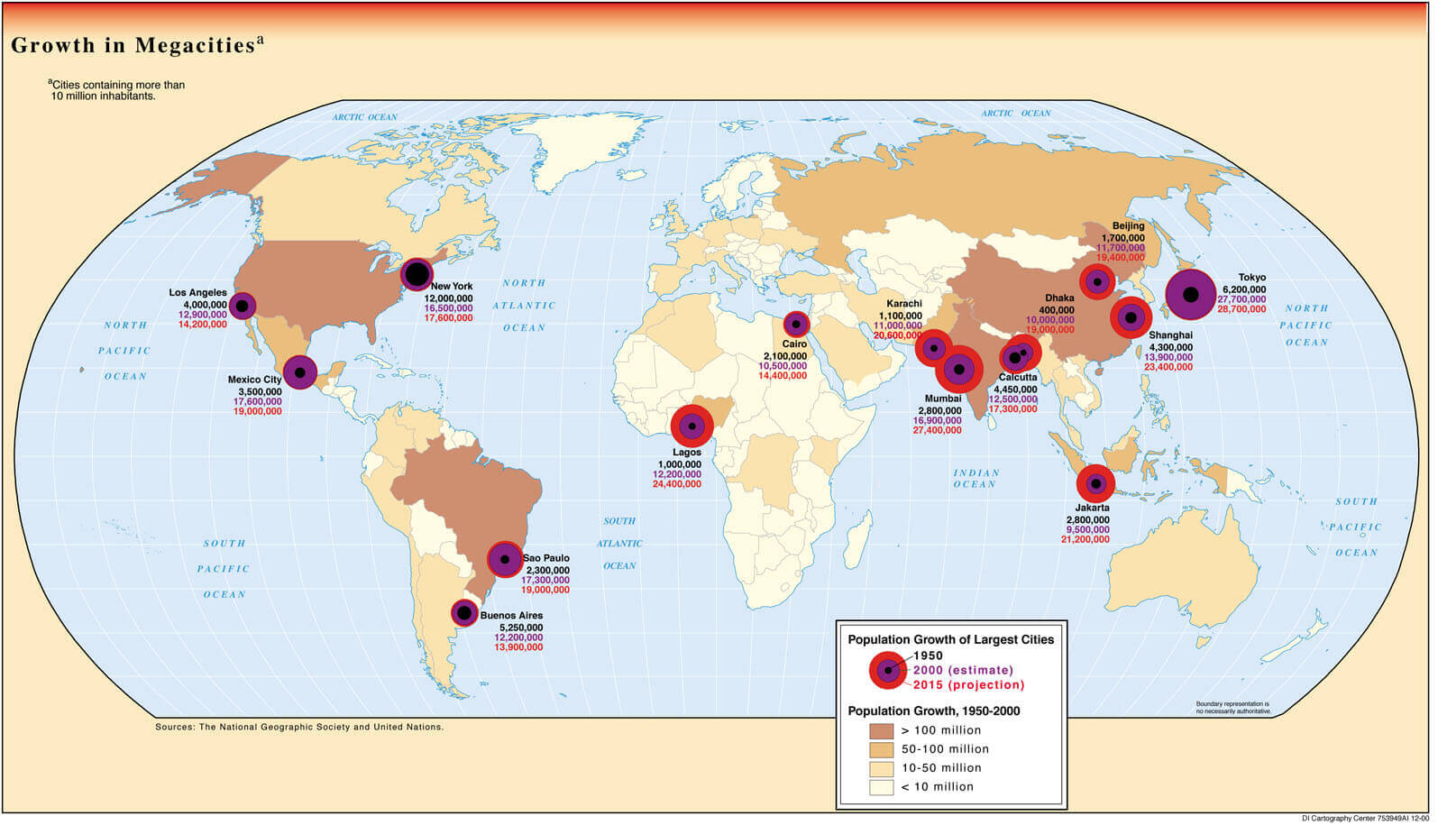
Download World mega cities map
Download World physical map
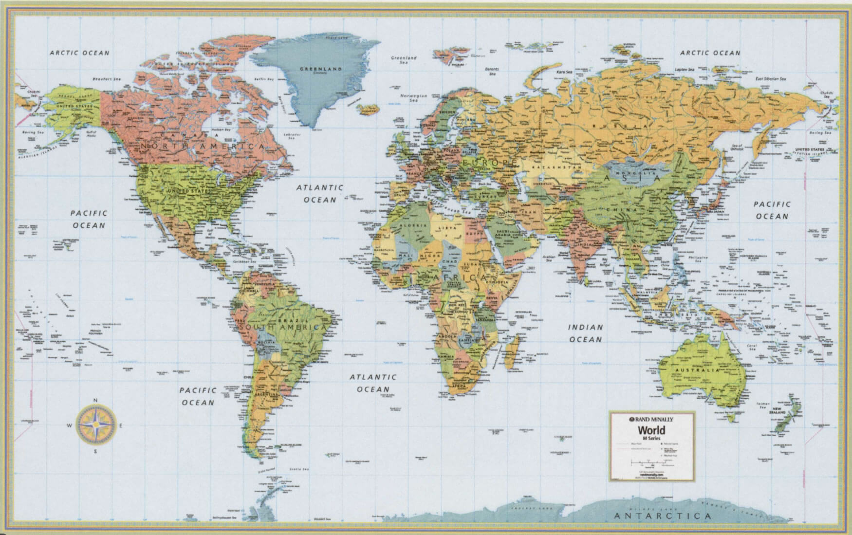
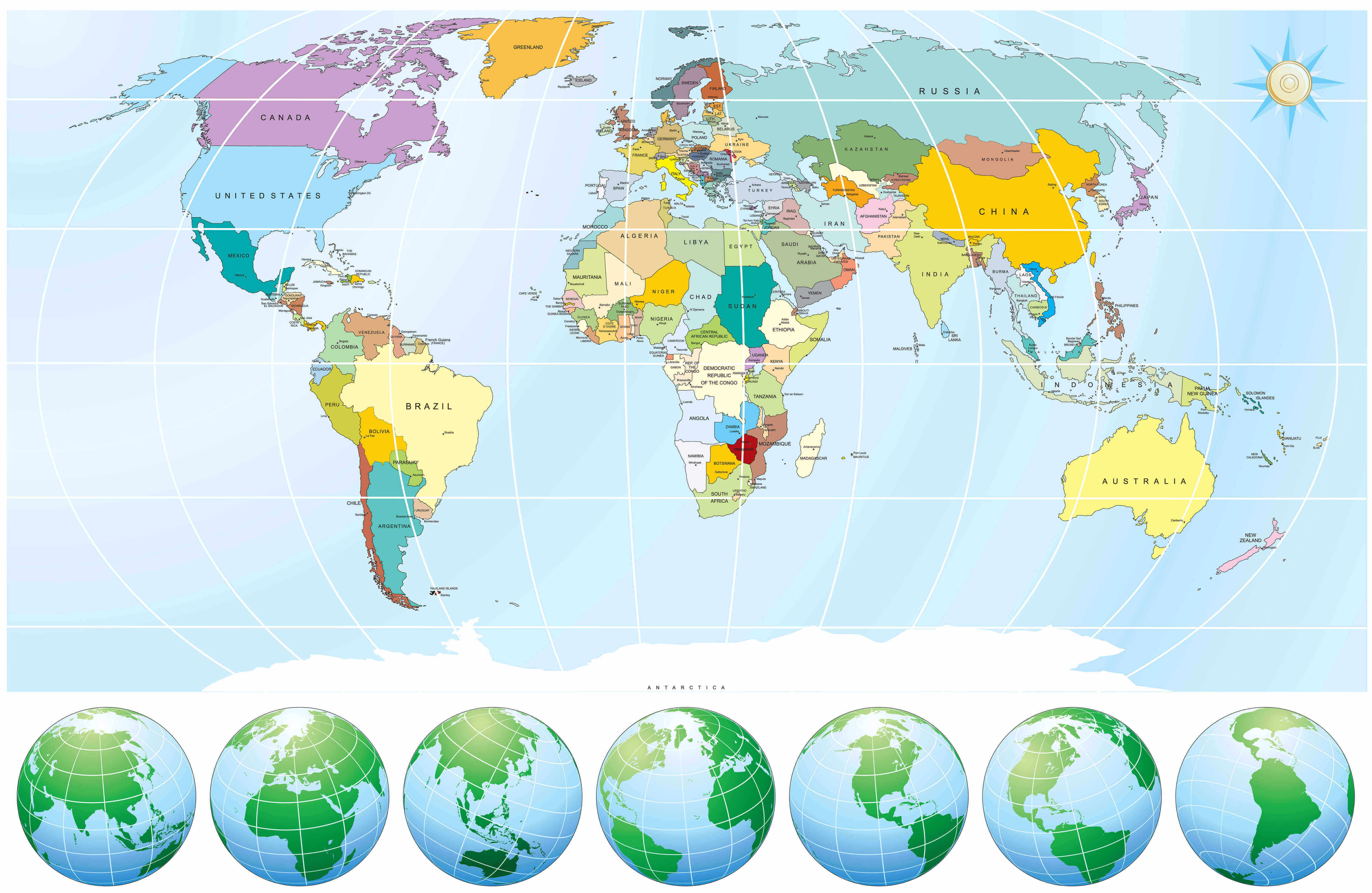
Download World political map with countries
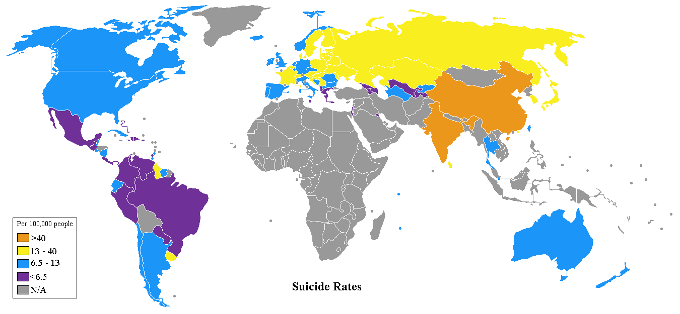
Download World suicide rates map
Download World tectonic Earthquake map
Download World united nations human development map
Download World with physical map
Feel free to explore these pages as well:
- Head of Performance Marketing
- Head of SEO
- Linkedin Profile: linkedin.com/in/arifcagrici