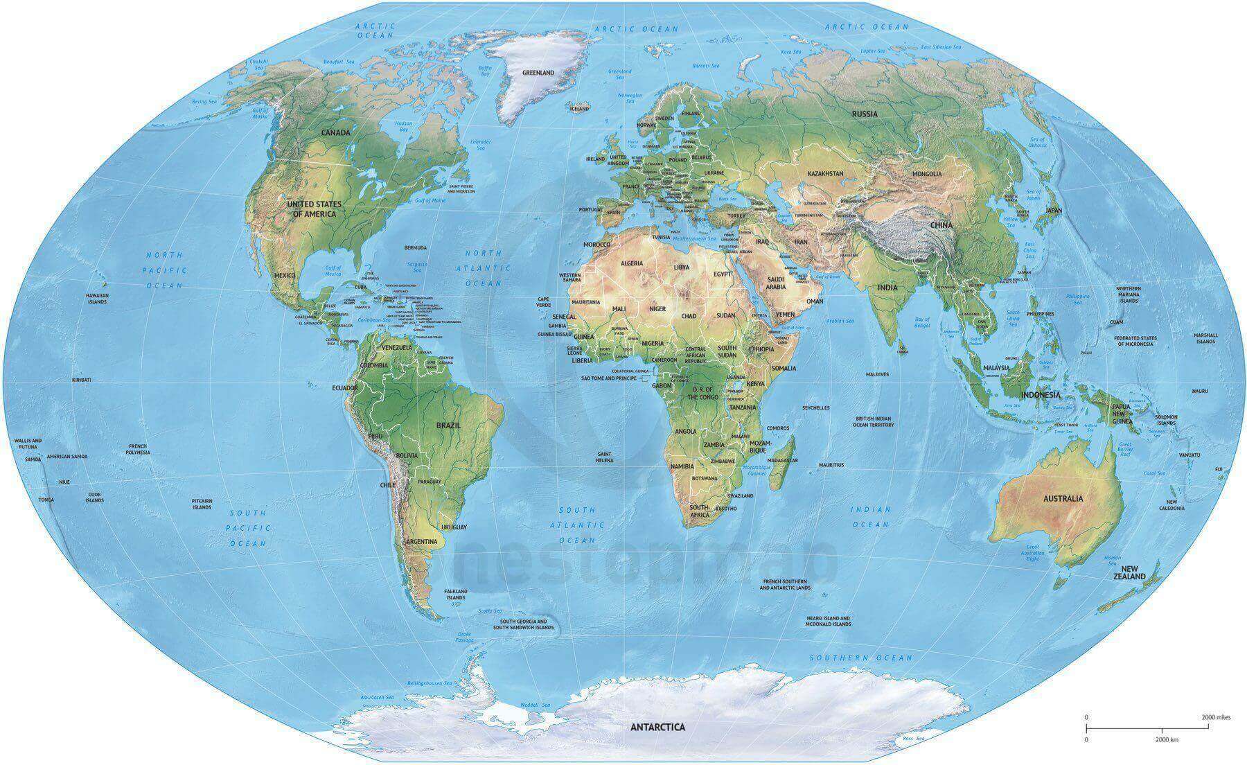
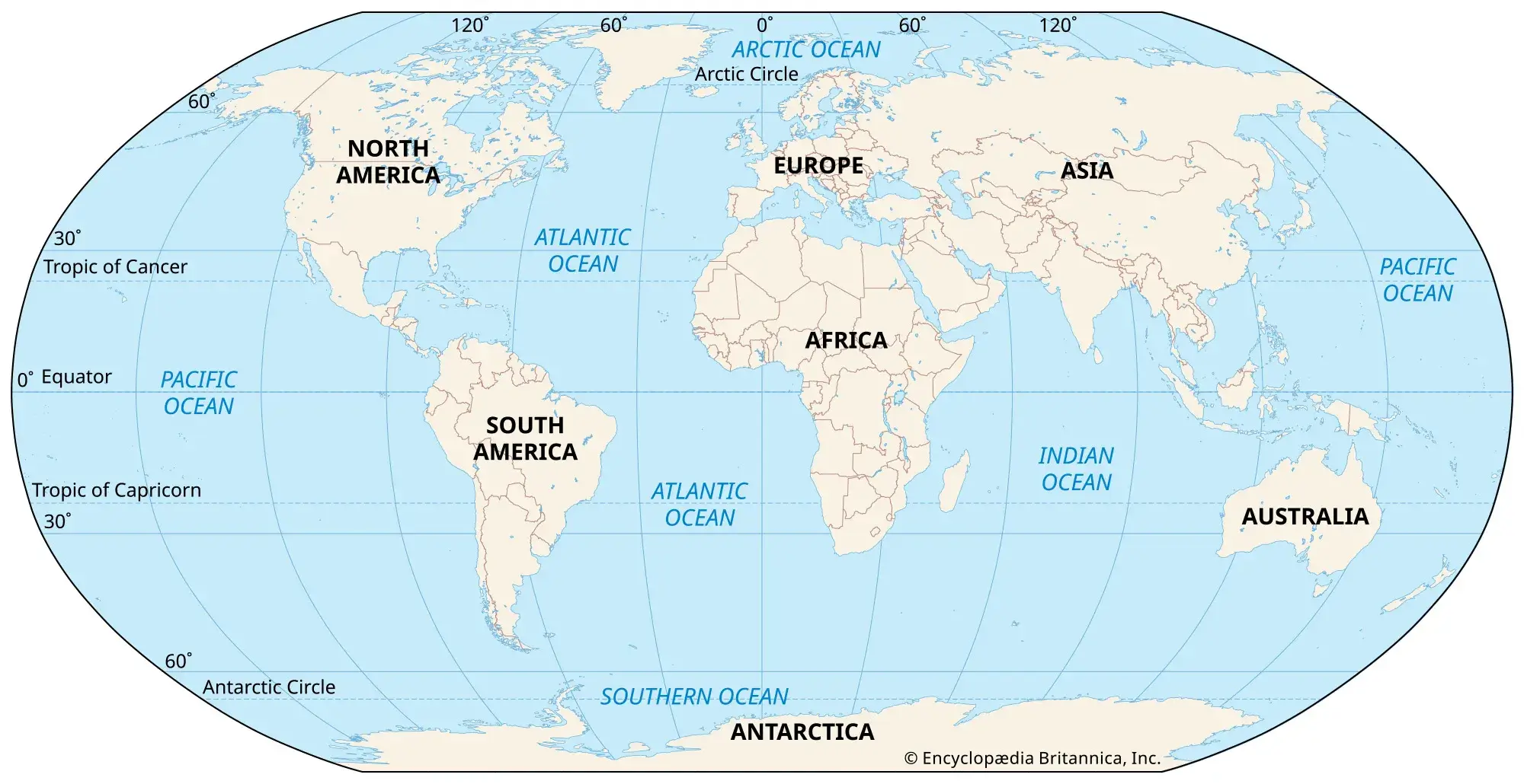
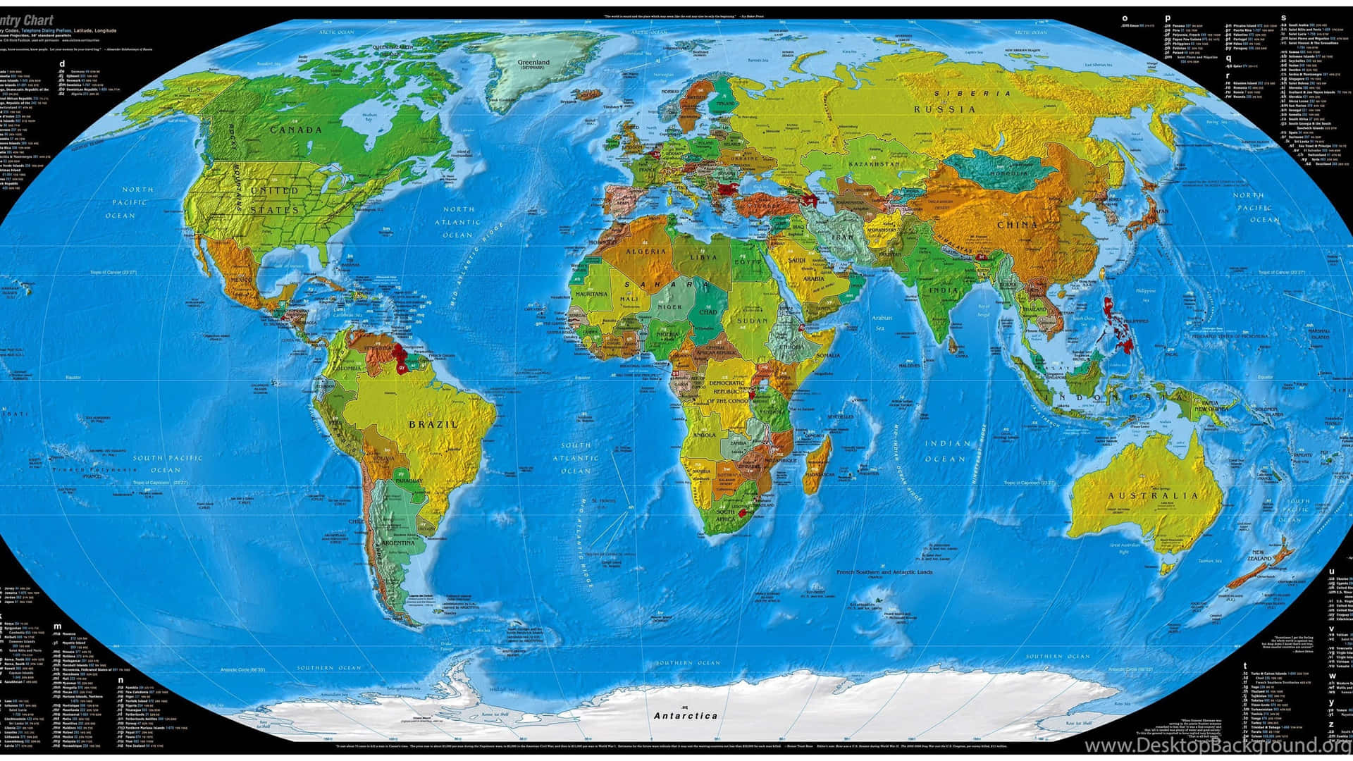
Detailed map of the World with political shaded relief
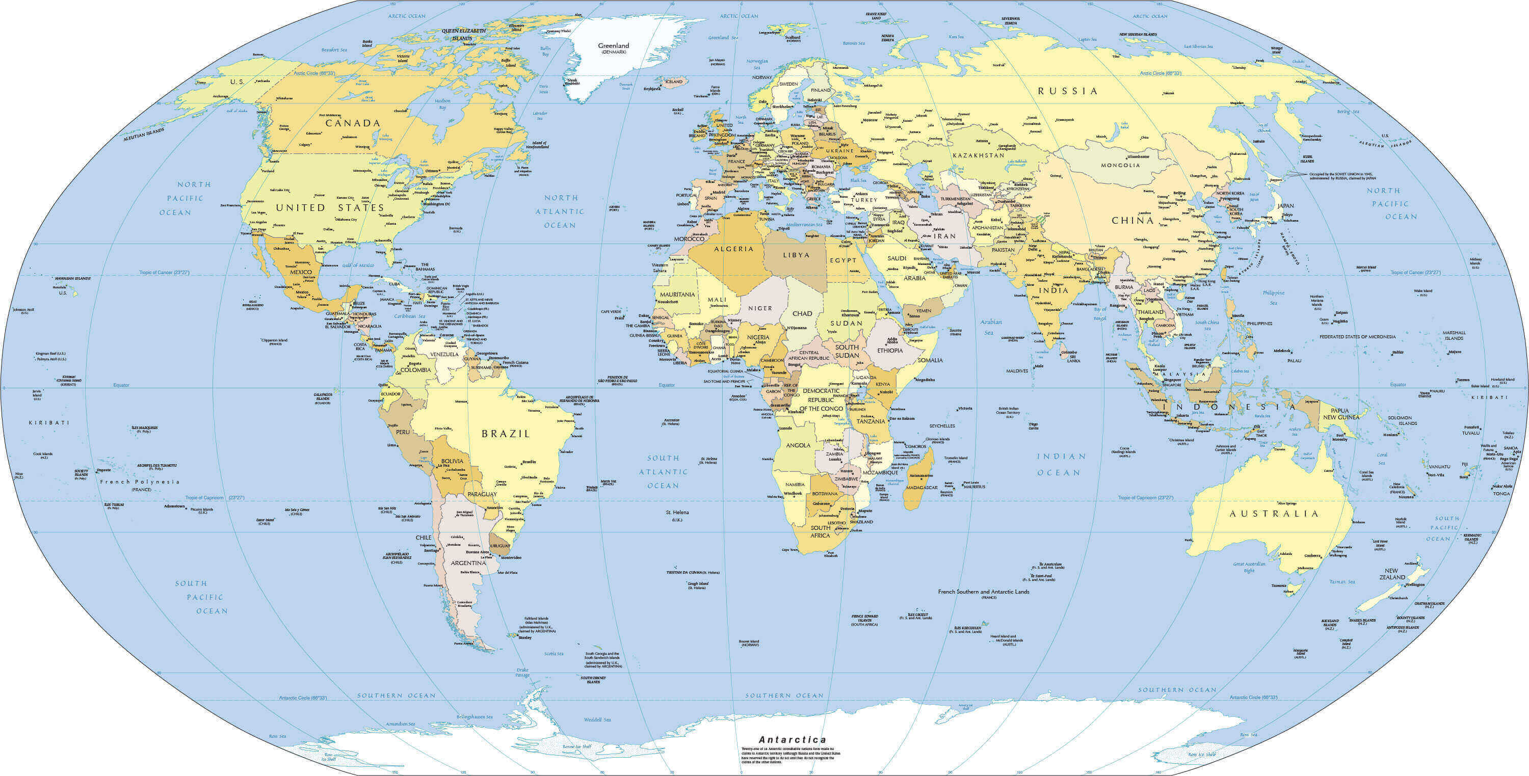
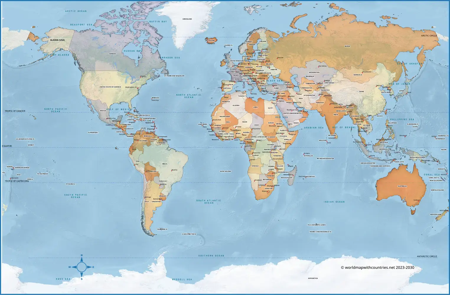
World Detailed Map with Countries and Borders
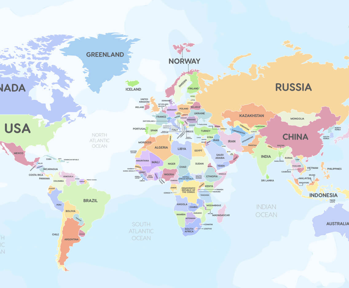
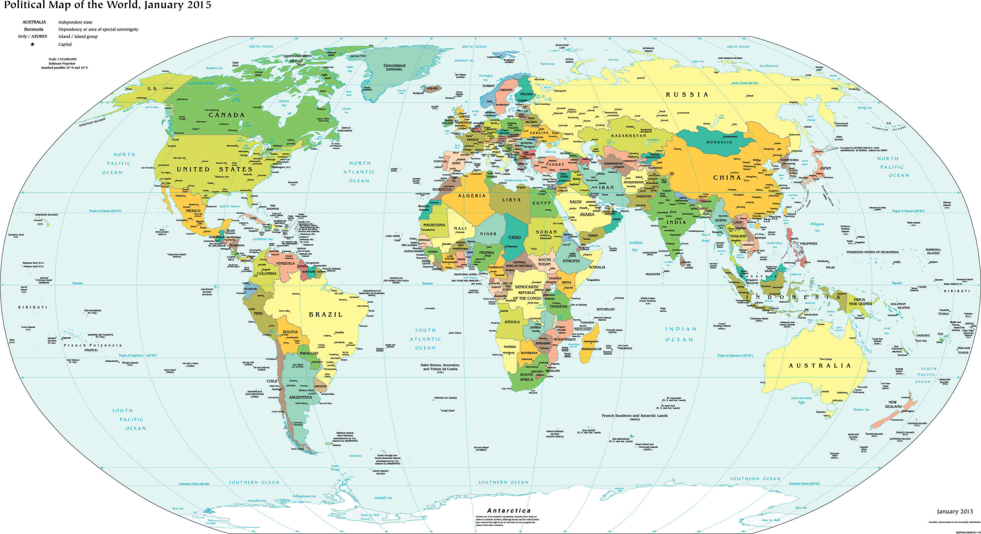
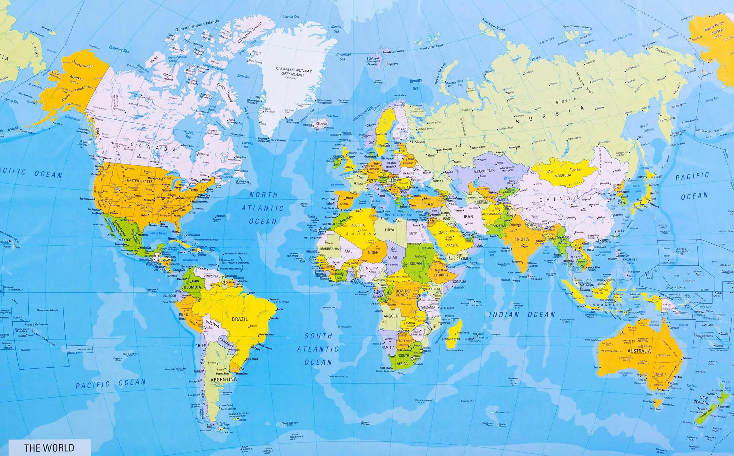 World detailed political map showing all countries with borders and capitals.
This world detailed map displays all countries with clear borders, capitals, and major cities. Ideal for students, researchers, and travelers, it provides a comprehensive view of global geography, helping users understand political divisions and international boundaries at a glance.
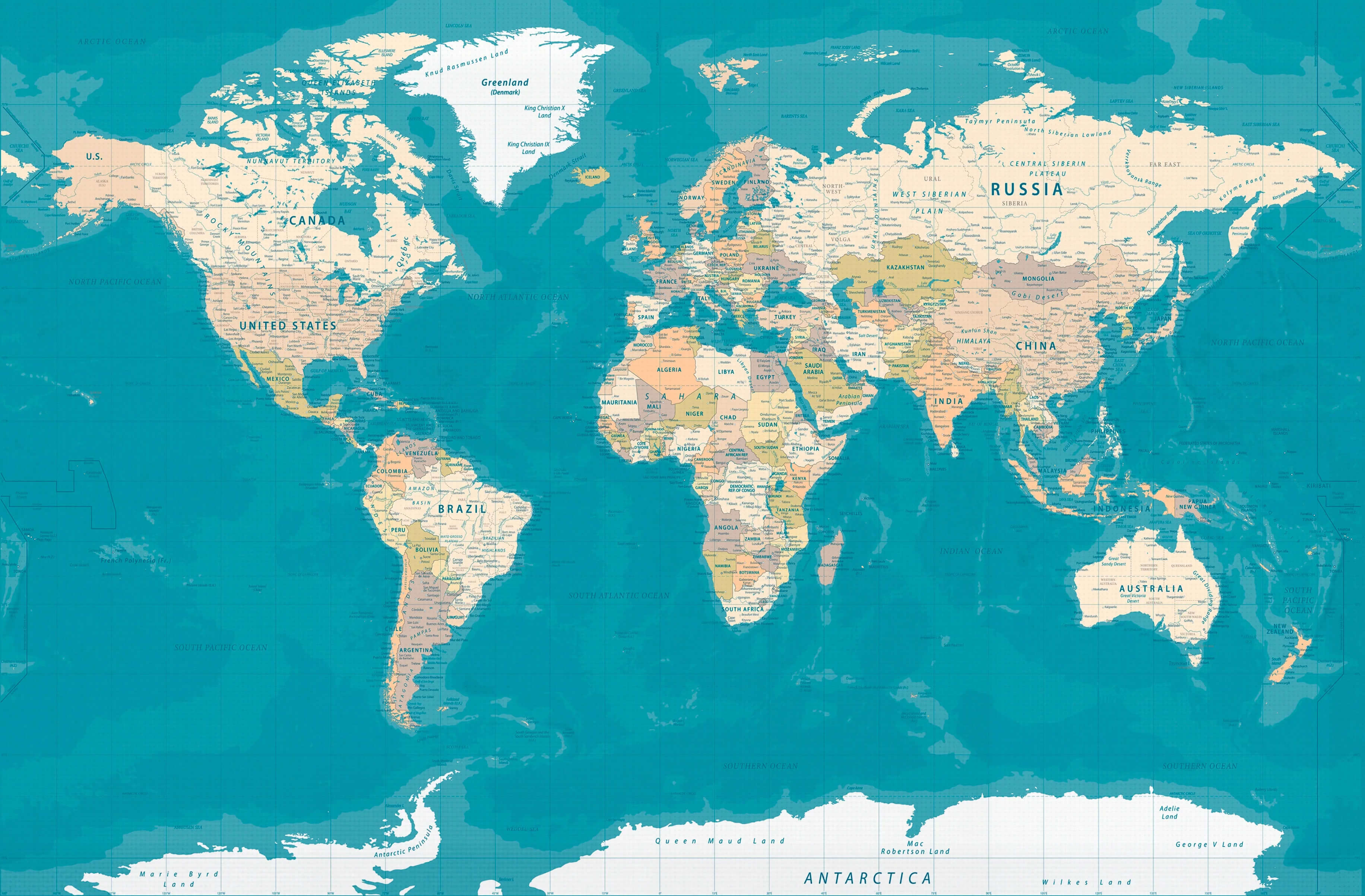
World Detailed Maps with Countries and Borders
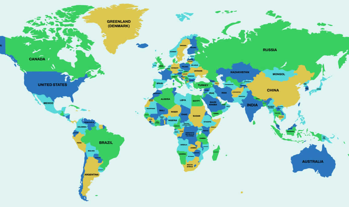 World detailed maps showing countries, names, and clear international borders.
These world detailed maps present a colorful and easy-to-read view of all countries, borders, and names. Perfect for students, educators, and travelers, the maps help visualize global geography, political divisions, and regions clearly, making them a valuable tool for study, reference, and exploration.
Detailed map of the World
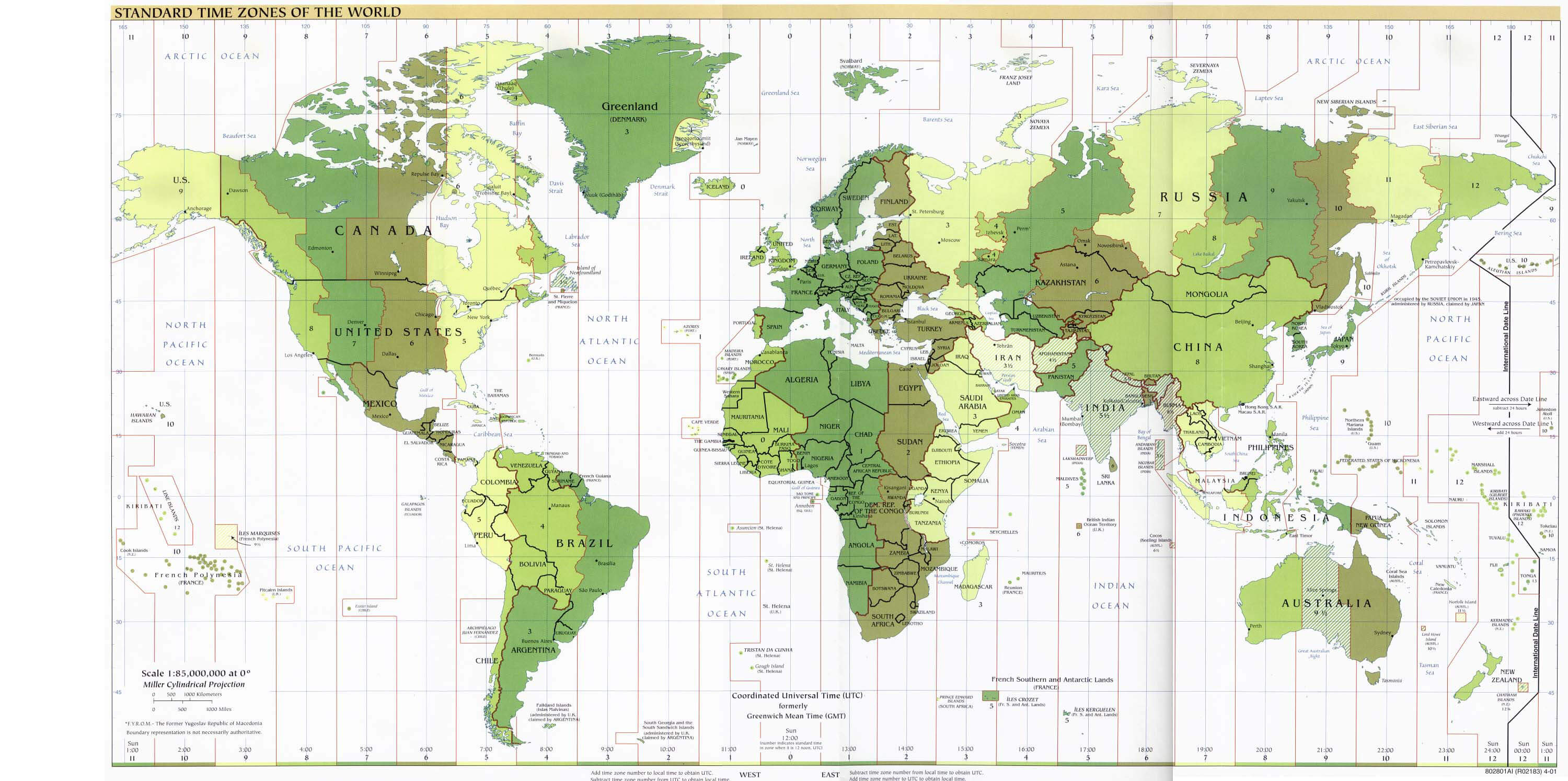
Detailed map of time zones of the World
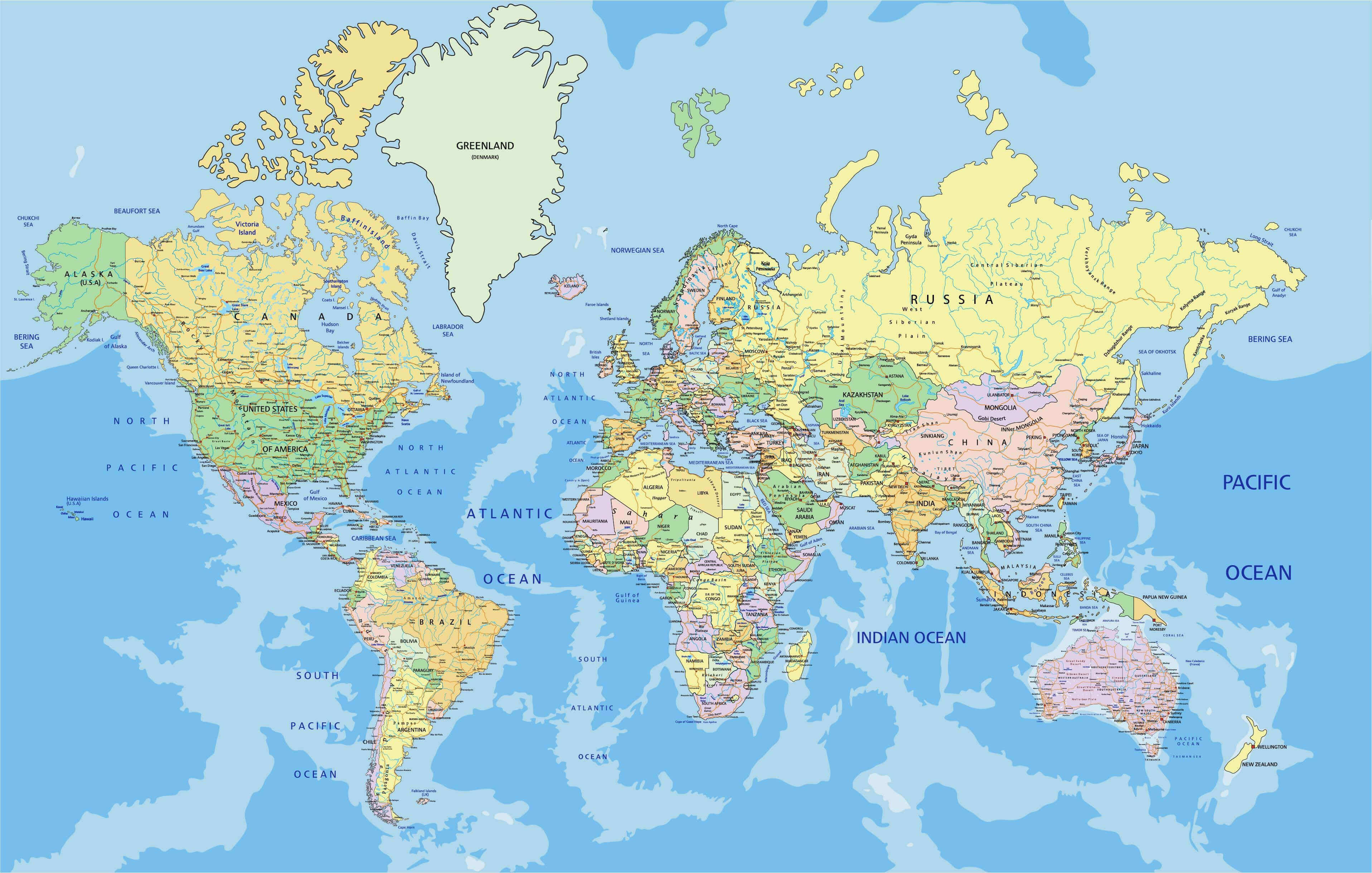
World map with country borders
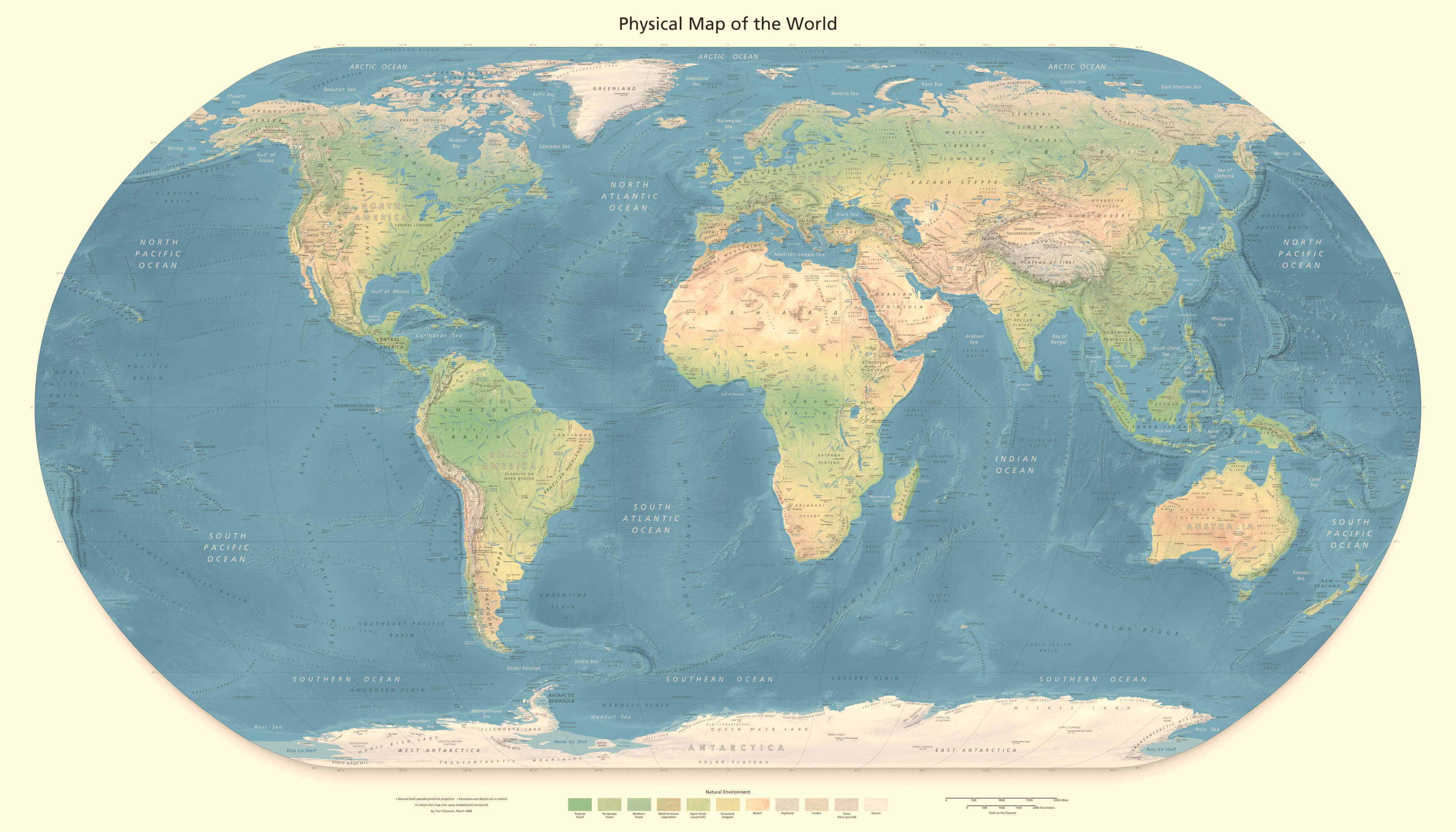
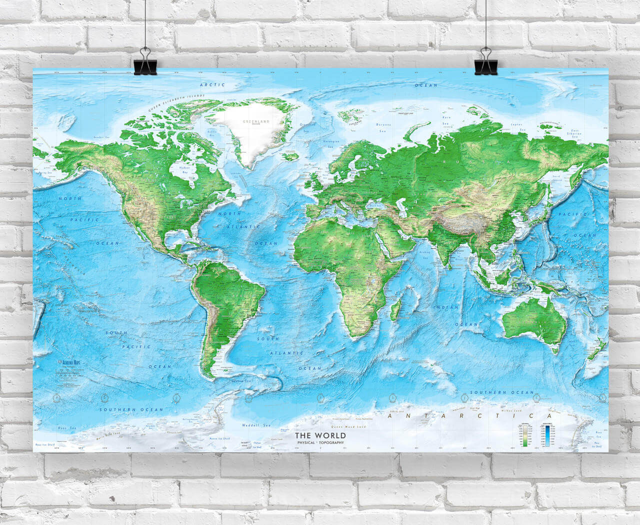
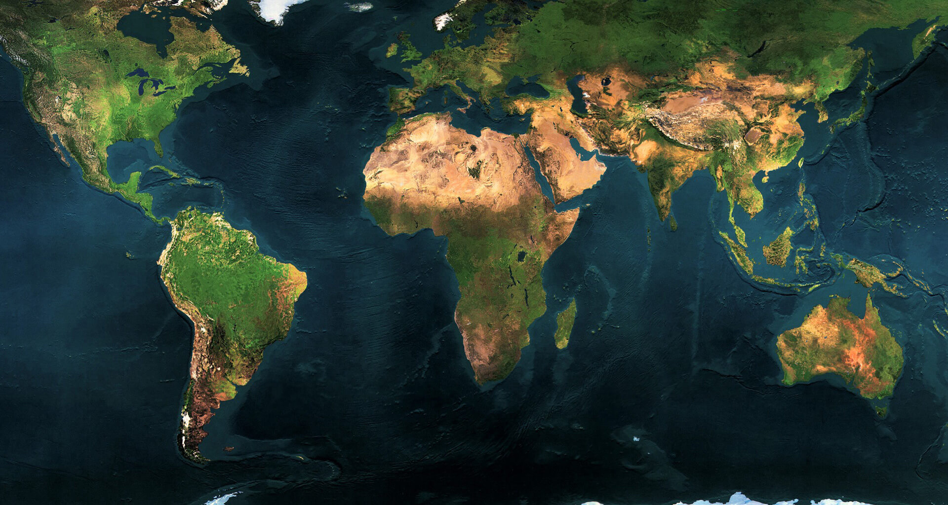
Detailed physical map of the World
Detailed World map with country names
Detailed World physical wall map
Detailed map of the World in high resolution wallpaper
Detailed political map of the World with countries and major cities
World detailed map
Detailed topographic map of the World
Free detailed political map of the World
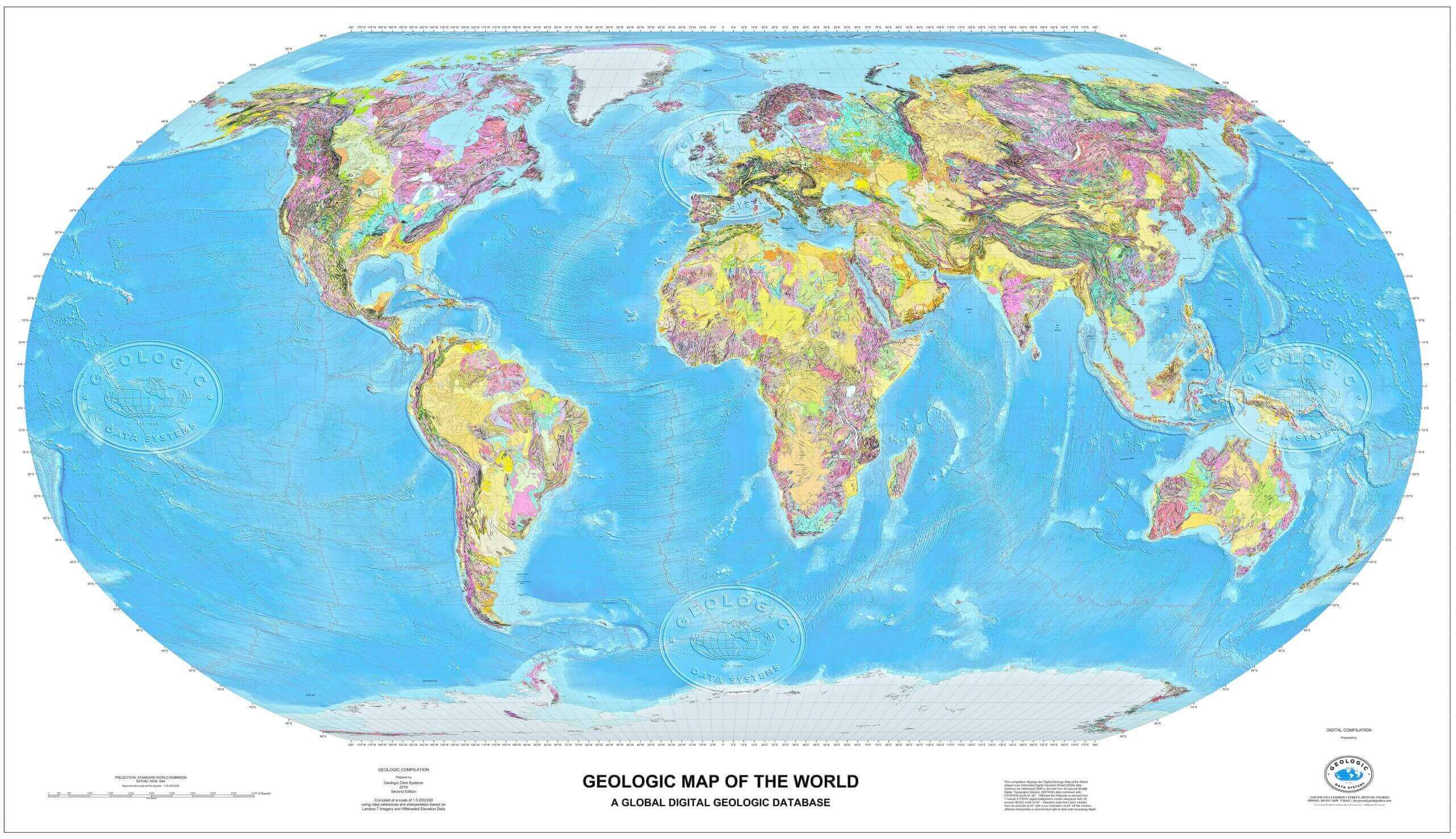
Large detaied World geological map
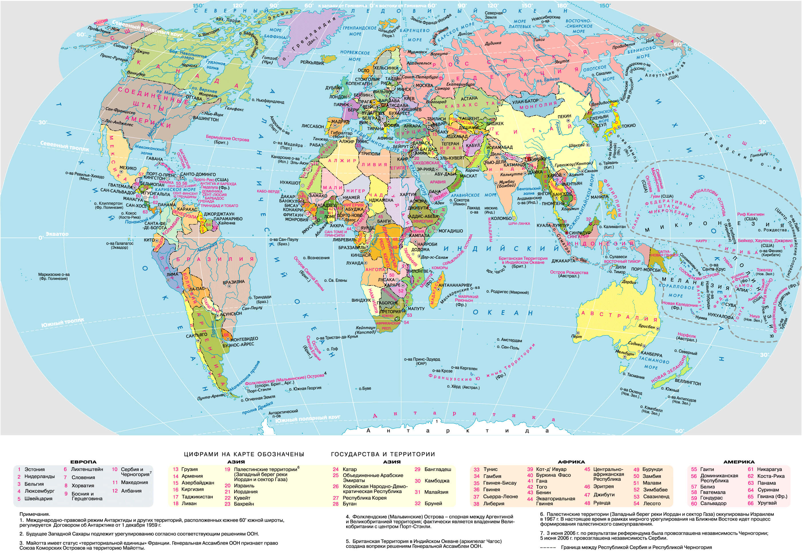
Large detailed political map of the World in Russian
Large political World map with high resolution
World detailed map with regions
World countries detailed map
World detaied political map
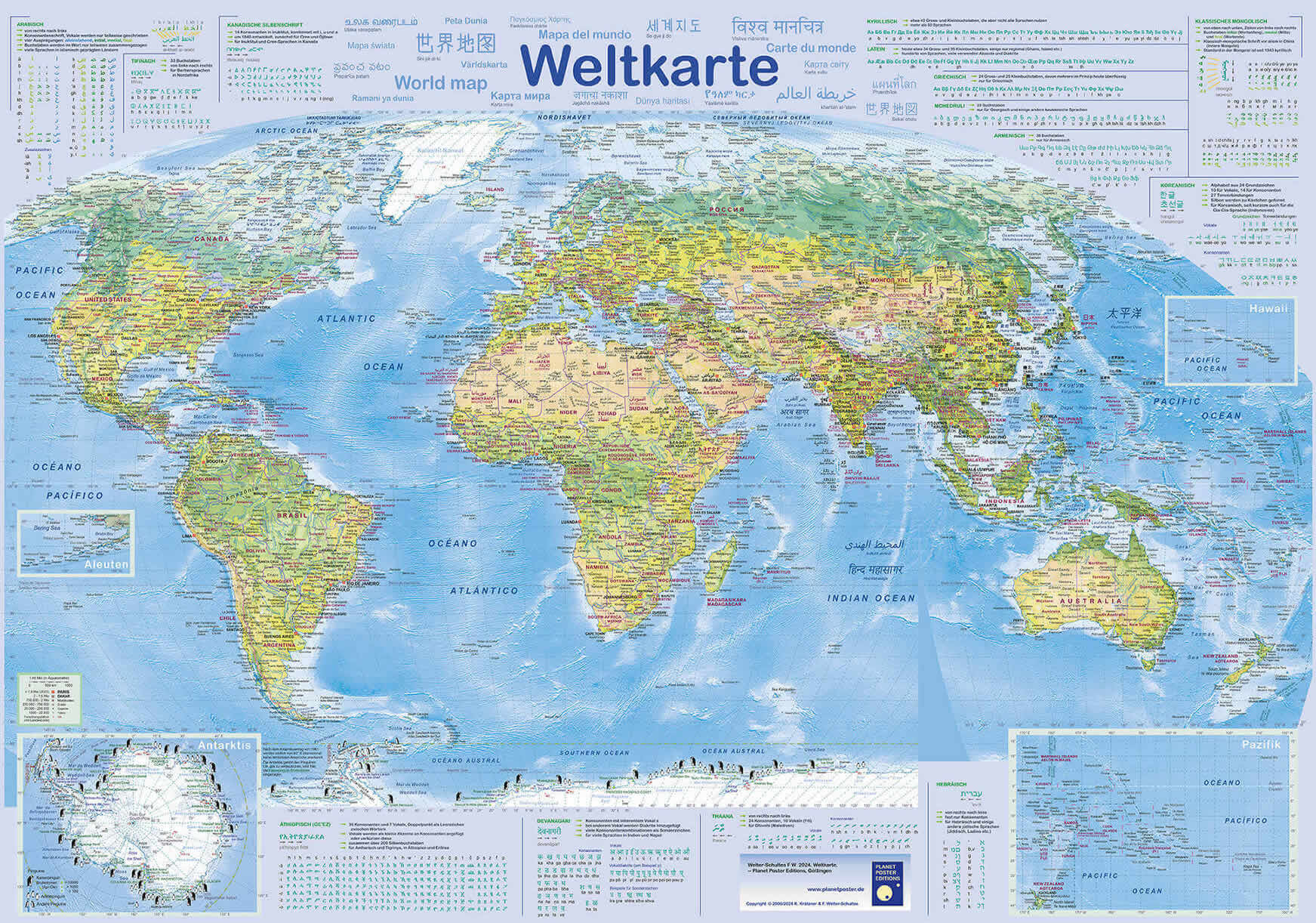
World detailed map in local languages
Printable detailed map of the World
Feel free to explore these pages as well: