
Europe Political Map

Explore our Europe political maps, showing countries, national borders, capitals, major cities, regions and political divisions across the continent. Discover detailed maps of Western, Eastern, Northern and Southern Europe, European Union members, country flags and historical boundaries. Compare modern and historical political maps for a clear view of Europe’s countries and territorial organization.
Political map of Europe

This political map of Europe, showing European countries, national borders, capitals, major cities, rivers and surrounding seas. The map covers Northern, Western, Central, Eastern and Southern Europe, including the United Kingdom, France, Germany, Italy, Spain, Scandinavia, the Balkans and Eastern Europe. Ideal for studying European geography, countries and capitals.
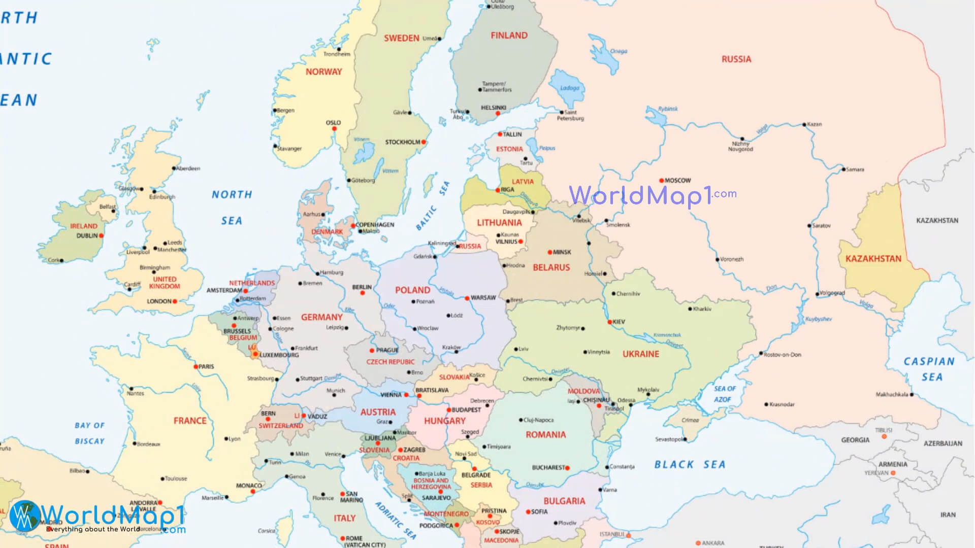
Europe political map with countries and rivers

This Europe political map with countries and rivers, showing national borders, capitals, major cities, rivers, seas and surrounding regions. The map covers the United Kingdom, France, Germany, Italy, Spain, Scandinavia, the Balkans and Eastern Europe, while highlighting major waterways such as the Danube, Rhine, Volga and Dnieper. Ideal for studying European geography.
Detailed political map of Europe
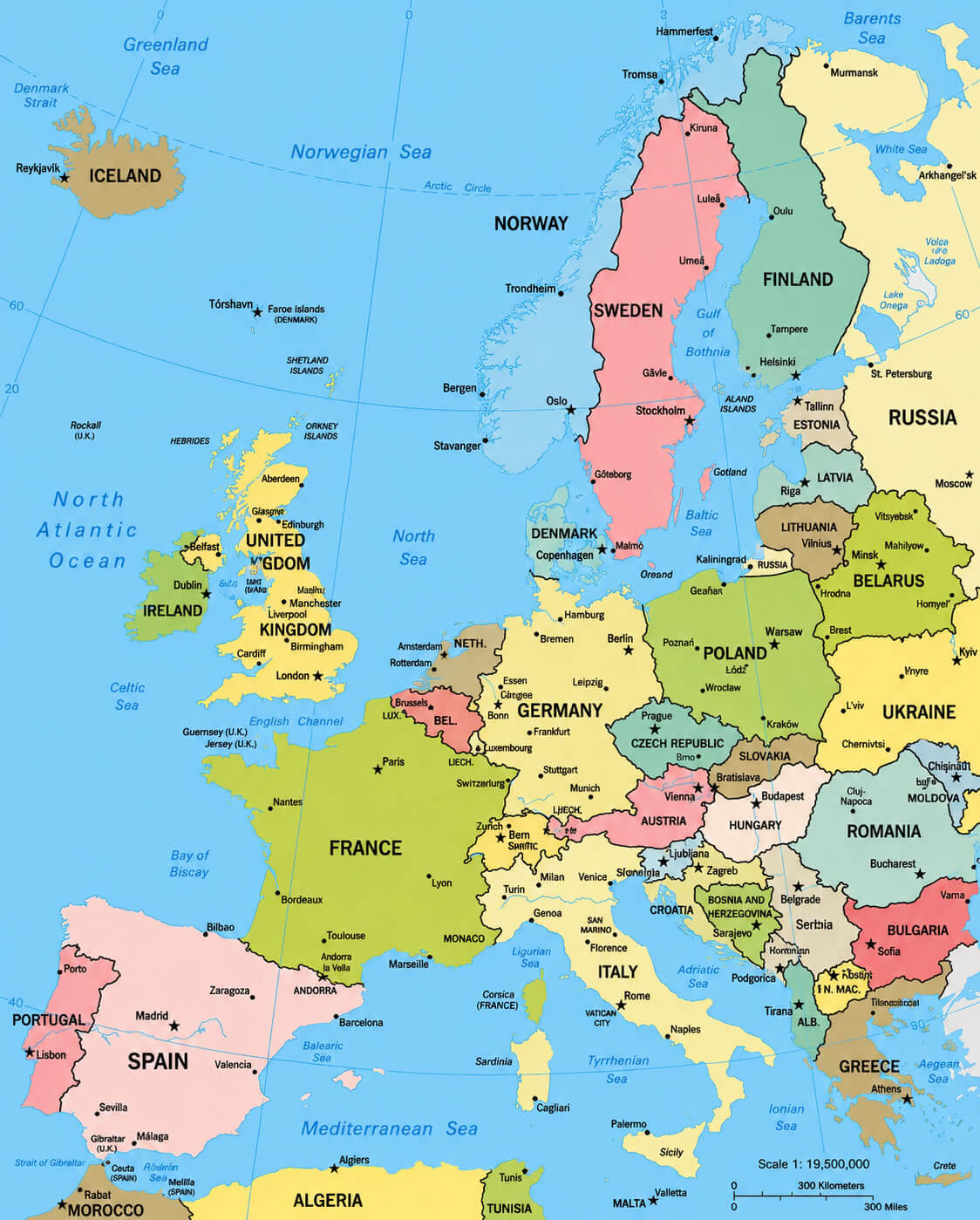
Europe political map with Russia and Turkey

Countries capitals of the Europe map
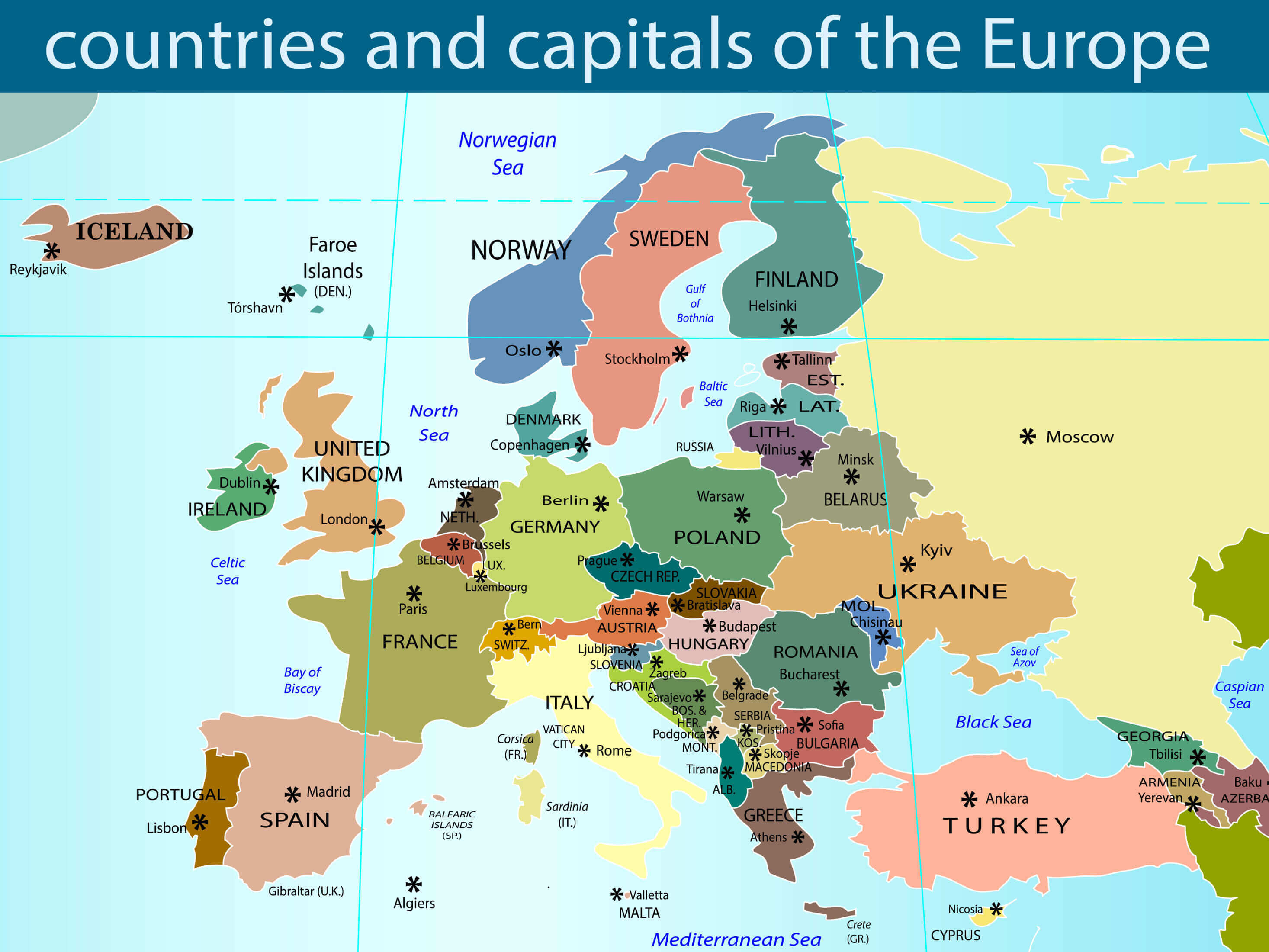
Eastern Europe map
Europe continent political map

Europe countries with political map
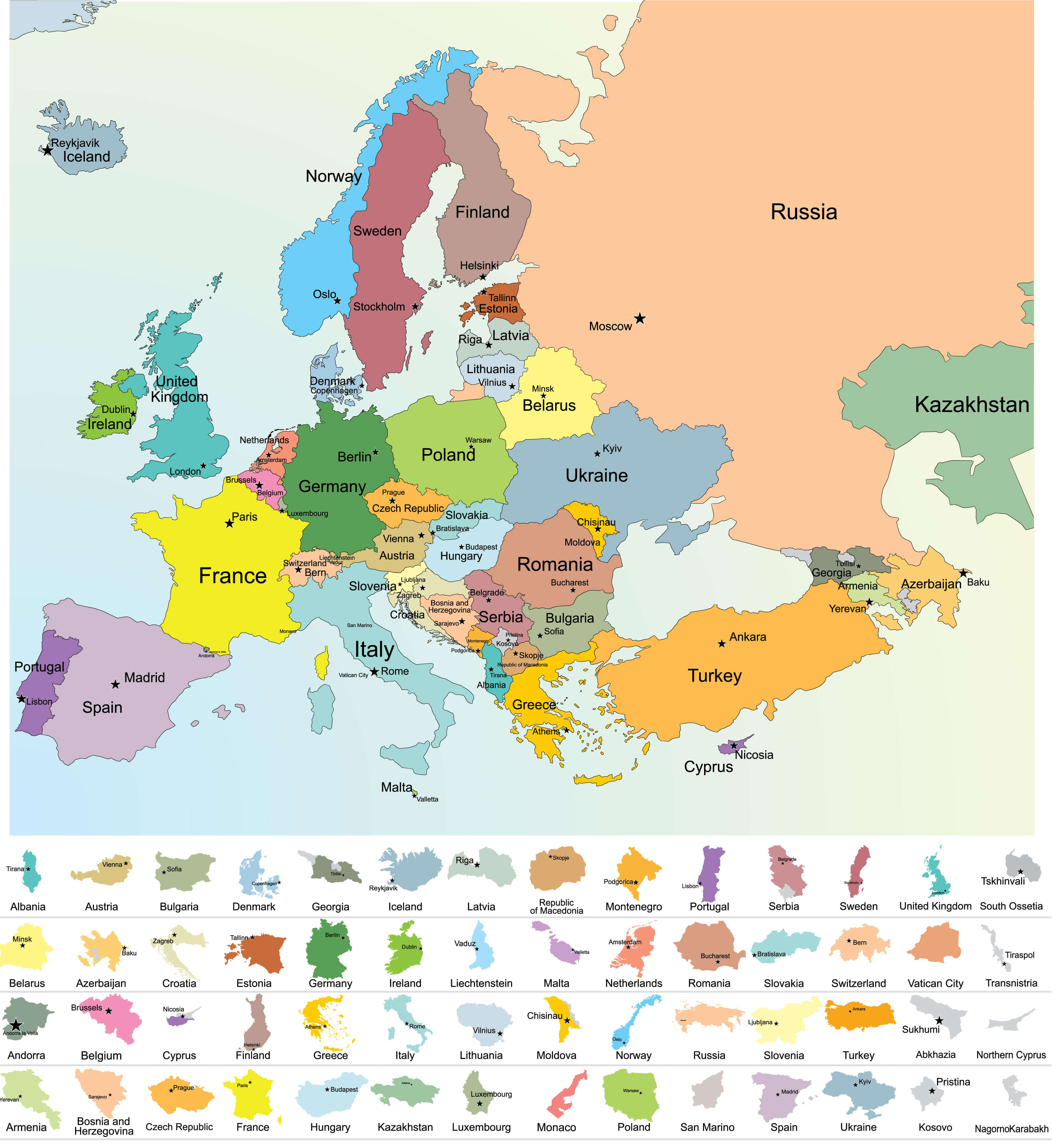
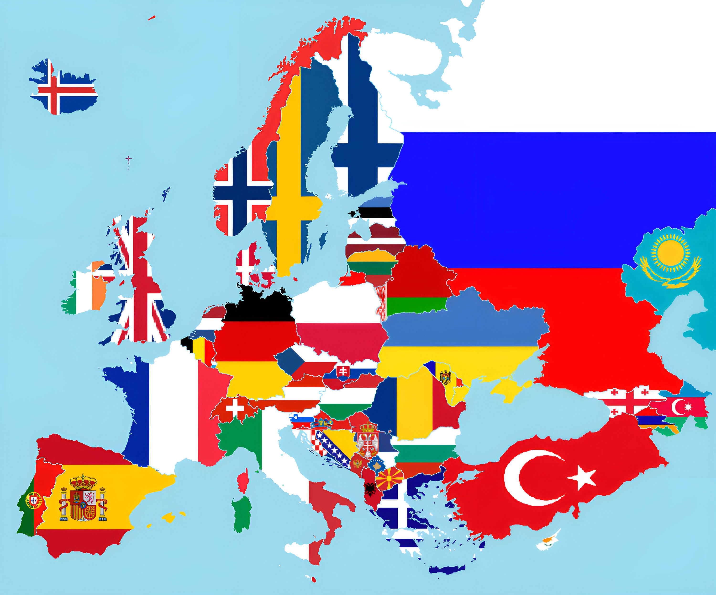
Europe flag map
Europe historical political map in 1944

Europe holocaust map

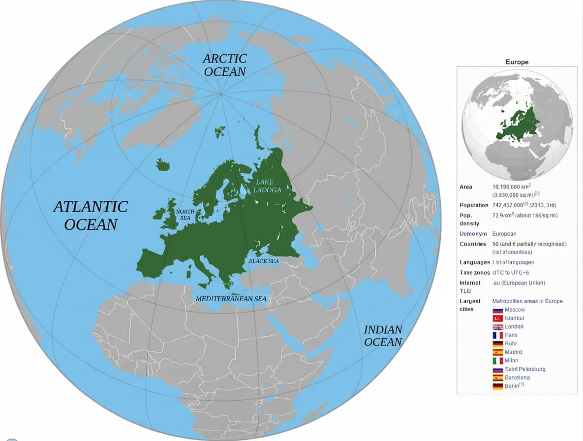
Europe location on World Globe map
Europe political map 1871 1914

Europe political map in 1500

Europe political map

Europe political with African and Asian countries

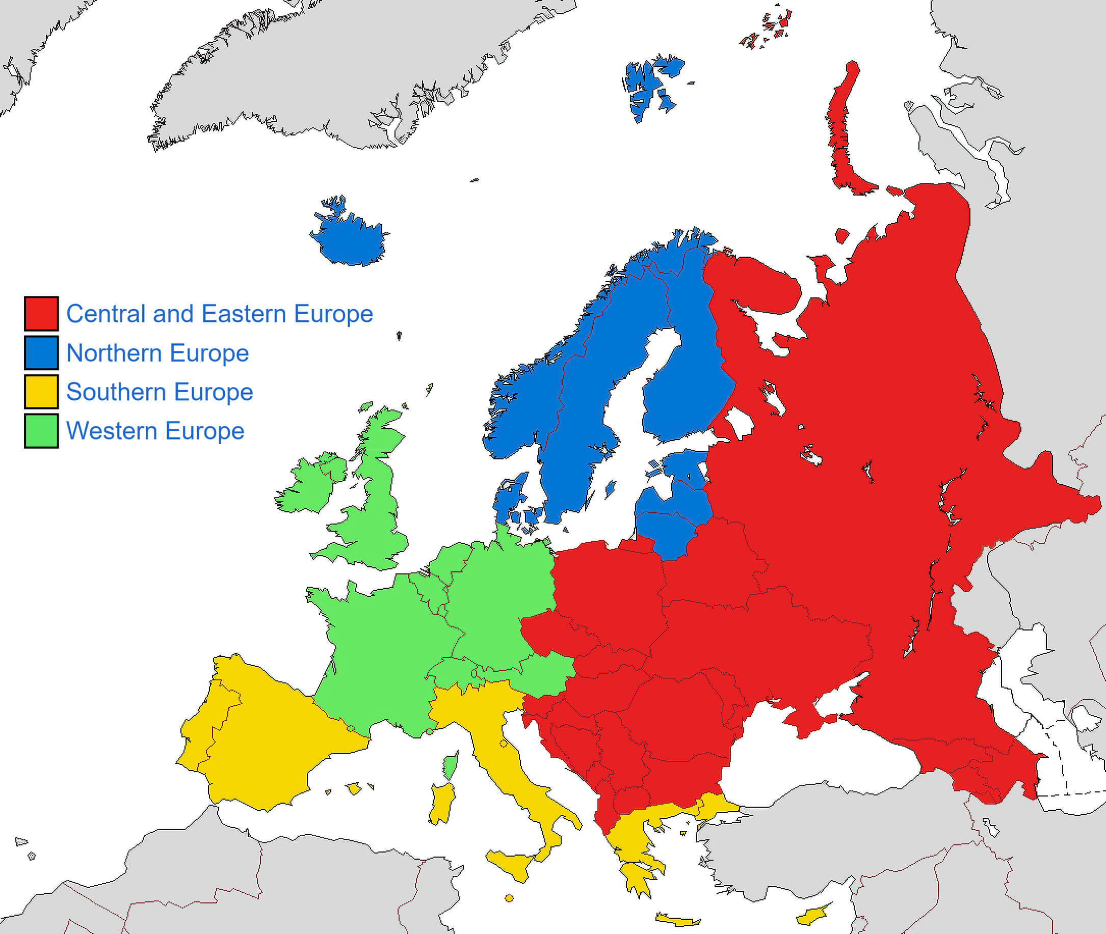
Europe regions map
European countries political map with UK

European union members map

European Union Members Map
Northern Europe political map

Political boundaries map of Europe
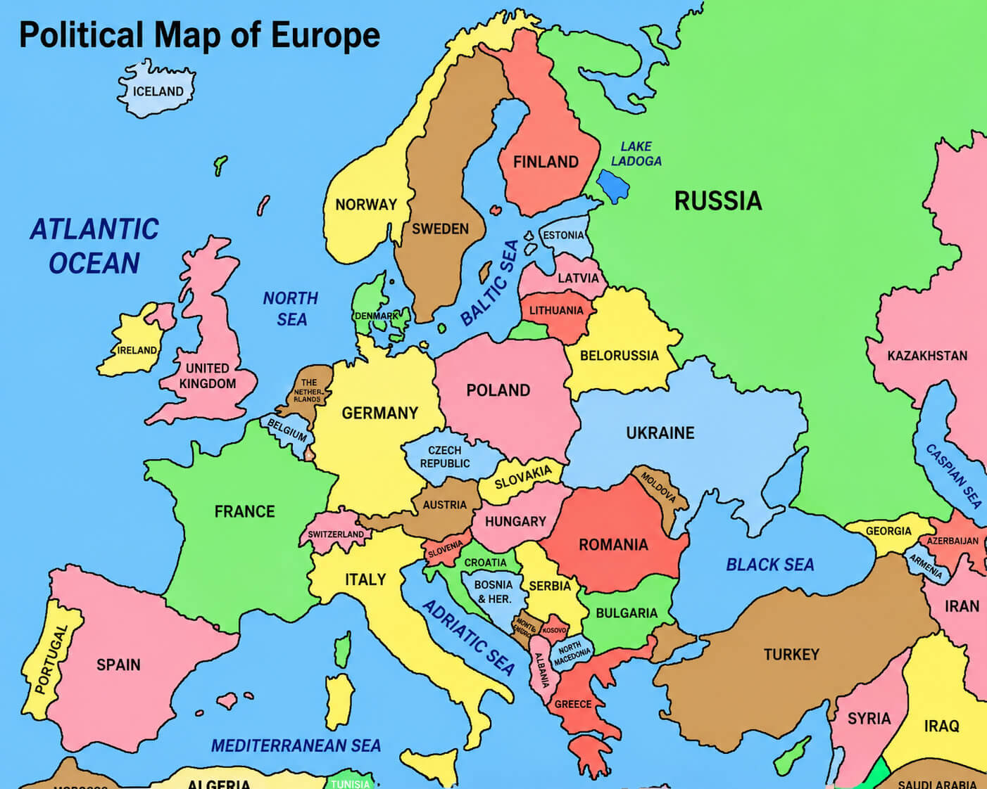
Political map of Europe with rivers
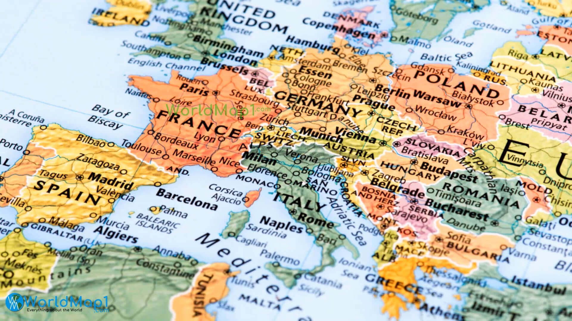
Western Europe map
Where is Europe on the World map

Feel free to explore these pages as well:
- Europe Map
- Europe Political Map
- Europe Physical Map
- Europe High Resolution Map
- Europe Countries Map
- Europe Satellite Map
- Europe Cities Map
- Europe Religion Map
- Europe Topography Map
- Europe Historical Map
- Europe Economy Map
- Europe Population Map
- Europe Road Map
- Europe Time Zone Map
- Europe Blank Map
- Western Europe Map
- Northern Europe Map
- Southern Europe Map
- Eastern Europe Map
- European Union Map