
Europe Satellite Map

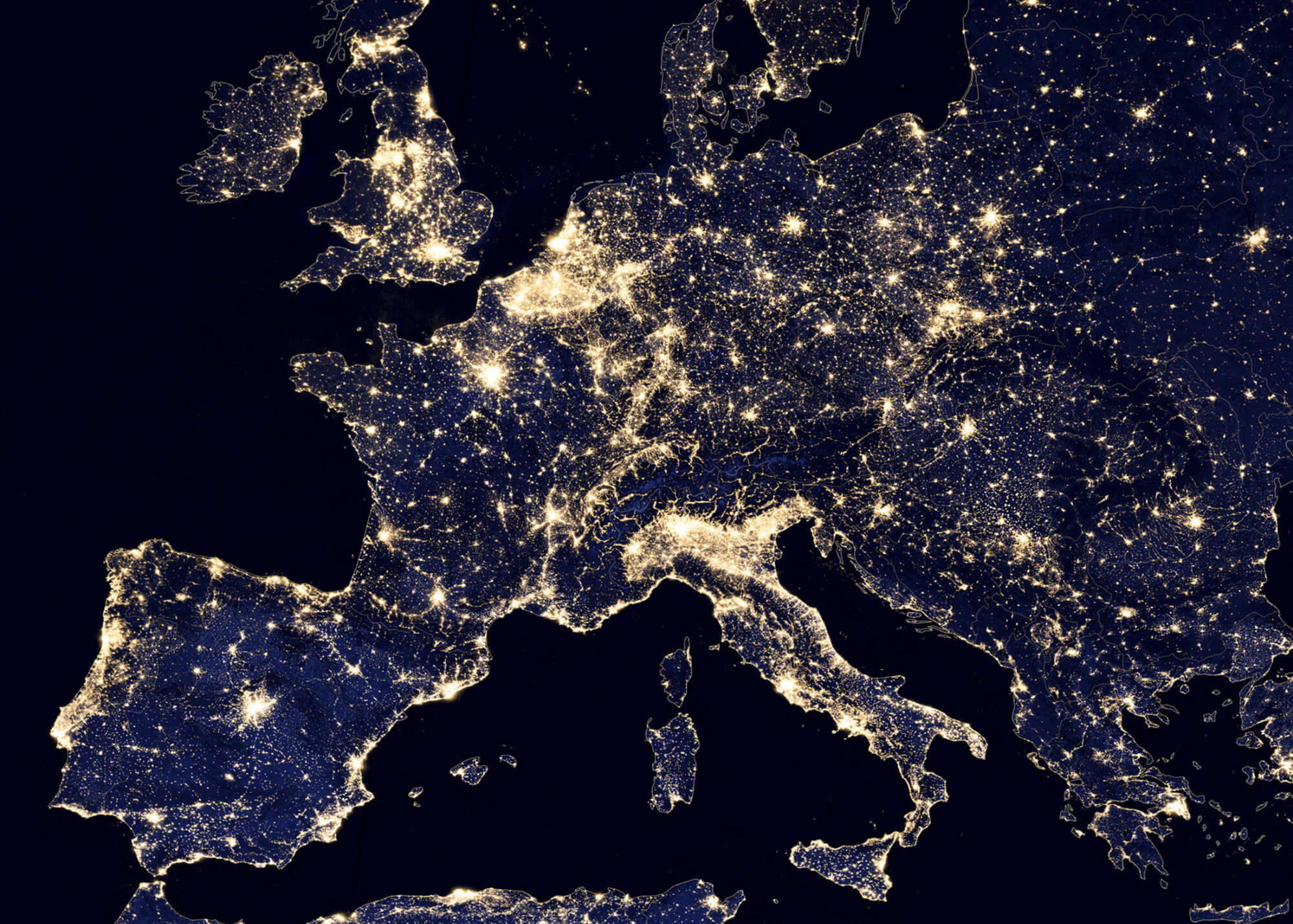
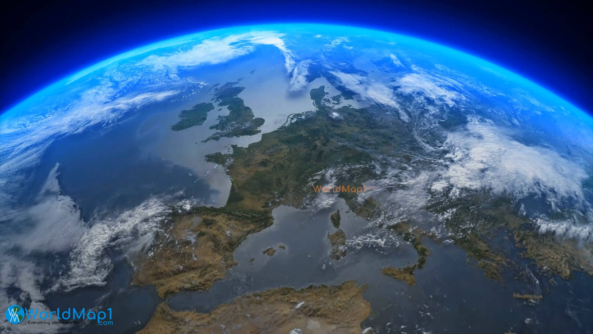
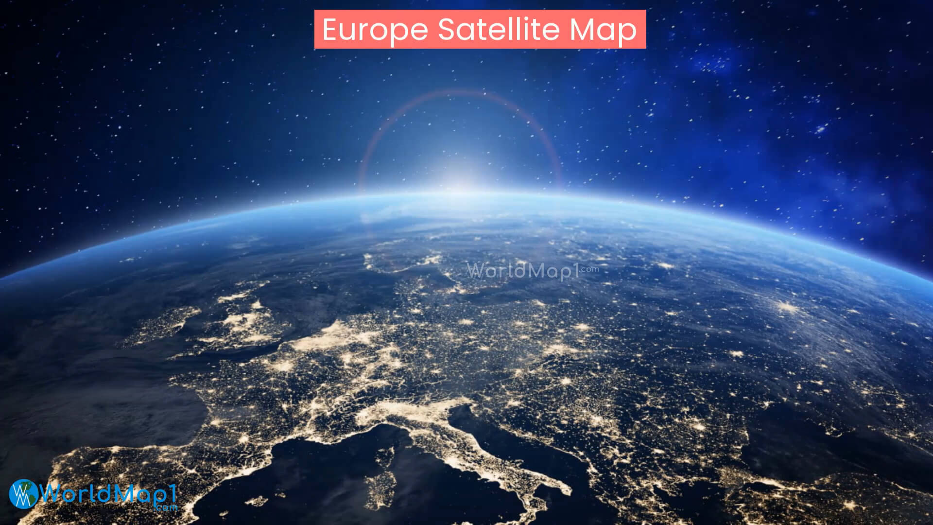
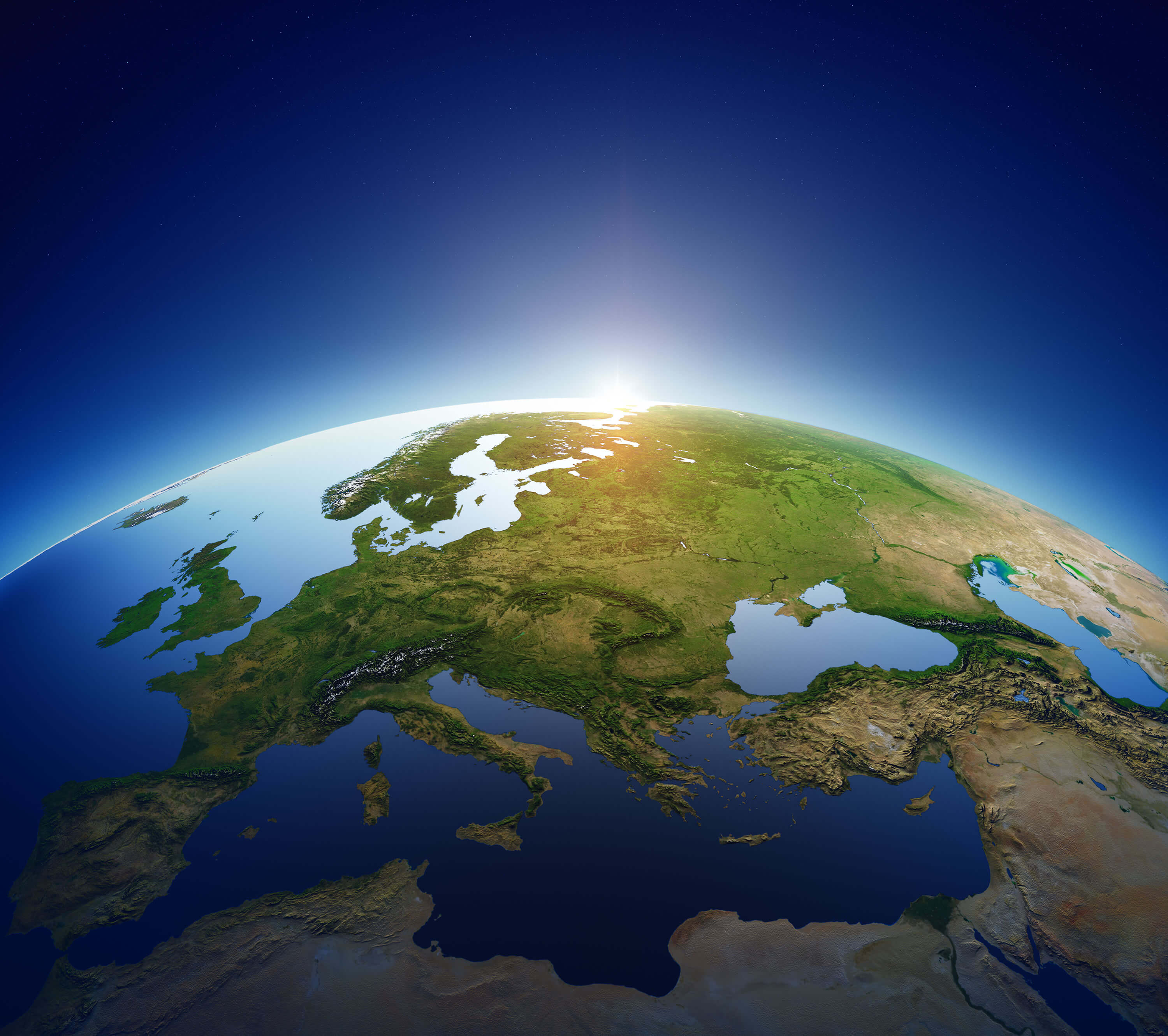
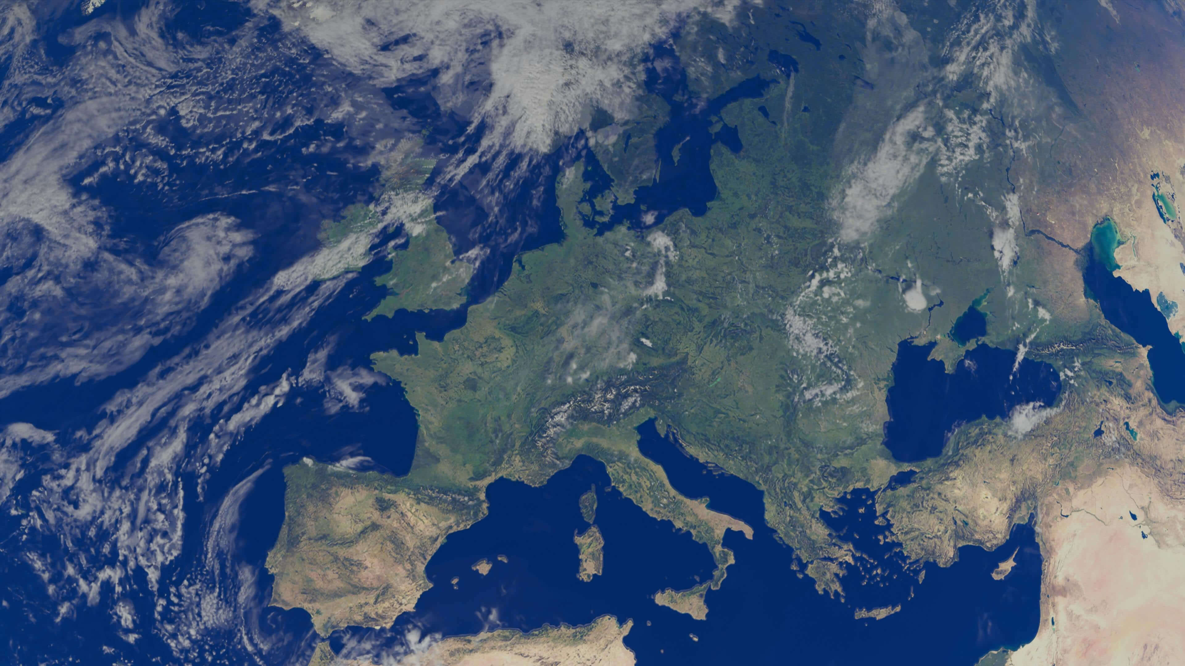
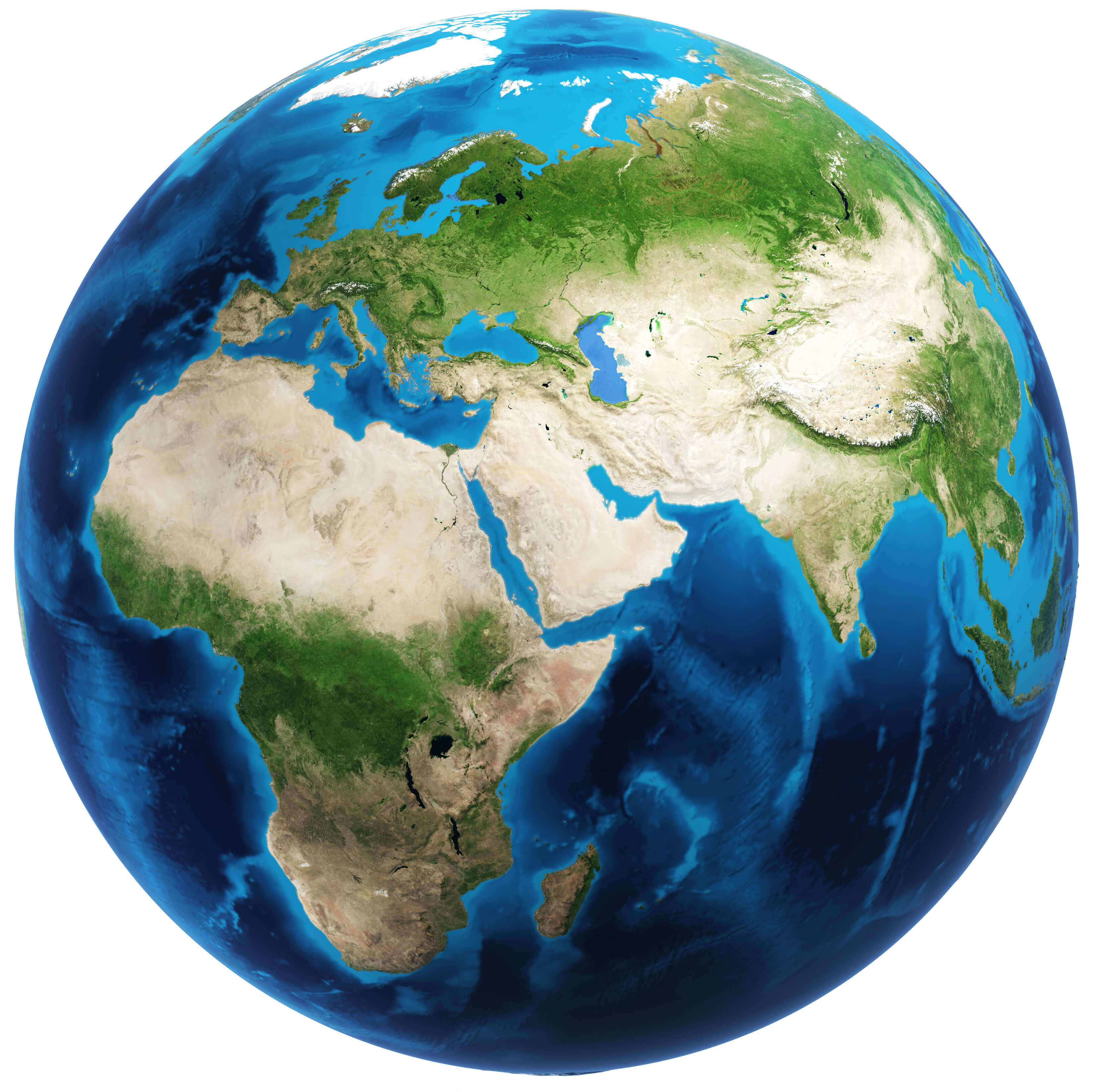
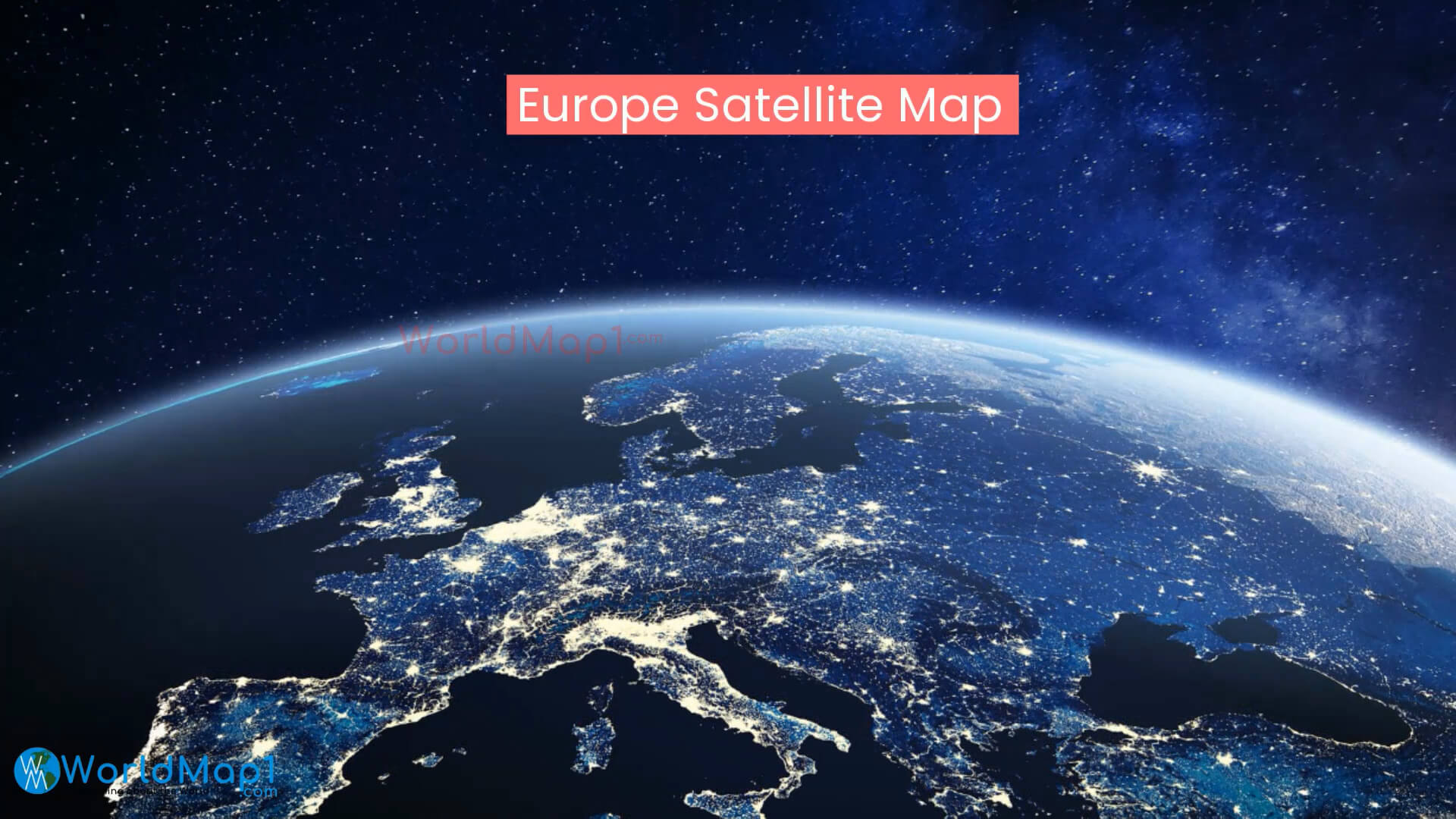
Explore our Europe satellite maps, featuring high-resolution views of the continent from space. Discover daytime and nighttime satellite imagery, 3D terrain, shaded relief, coastlines, mountains, seas and major geographic features. Compare satellite views of Western, Central, Northern and Southern Europe, including the Mediterranean and Scandinavia, for education, research and geographic reference.
Europe Italy Greece Mediterranean Sea satellite map
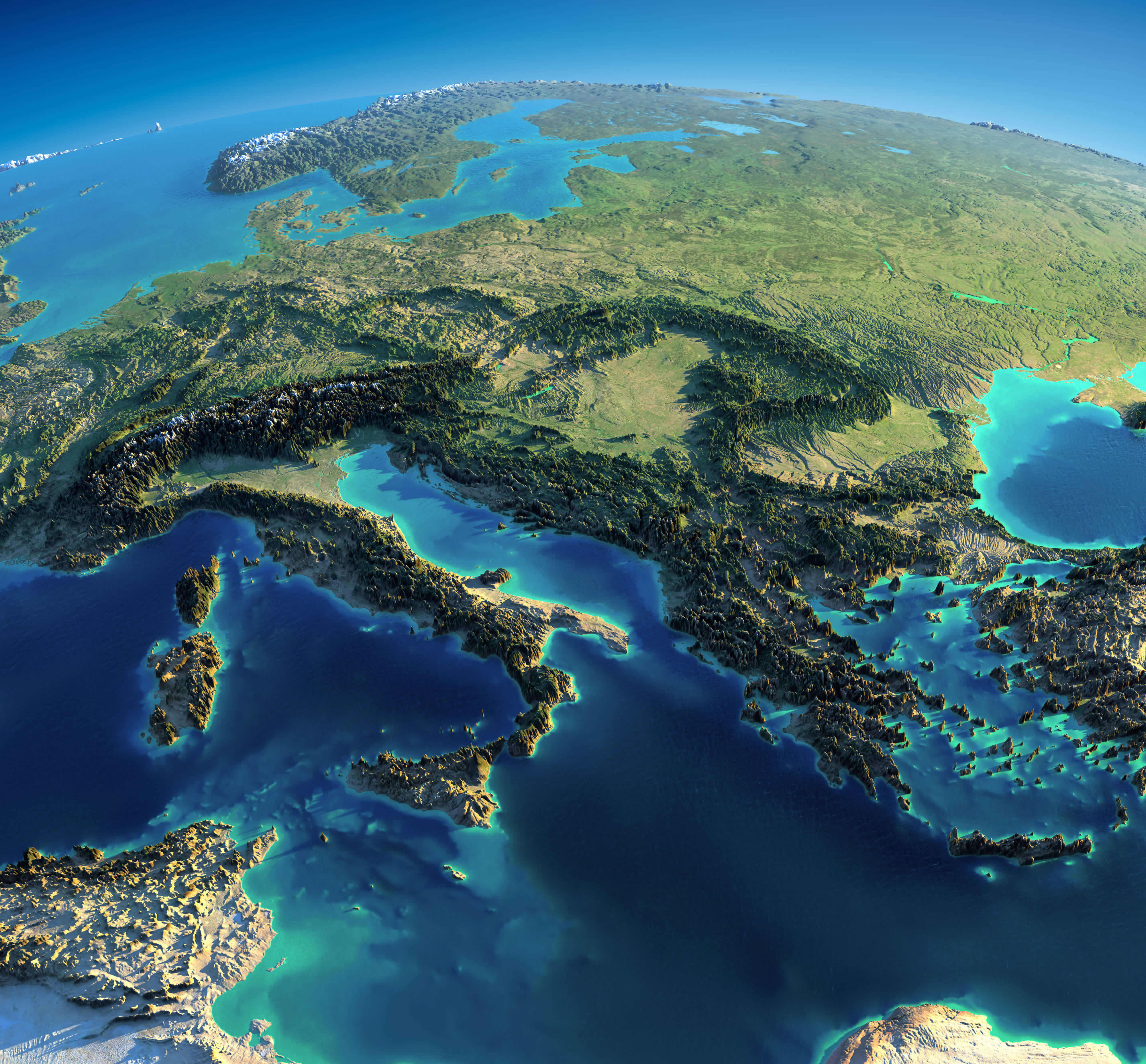
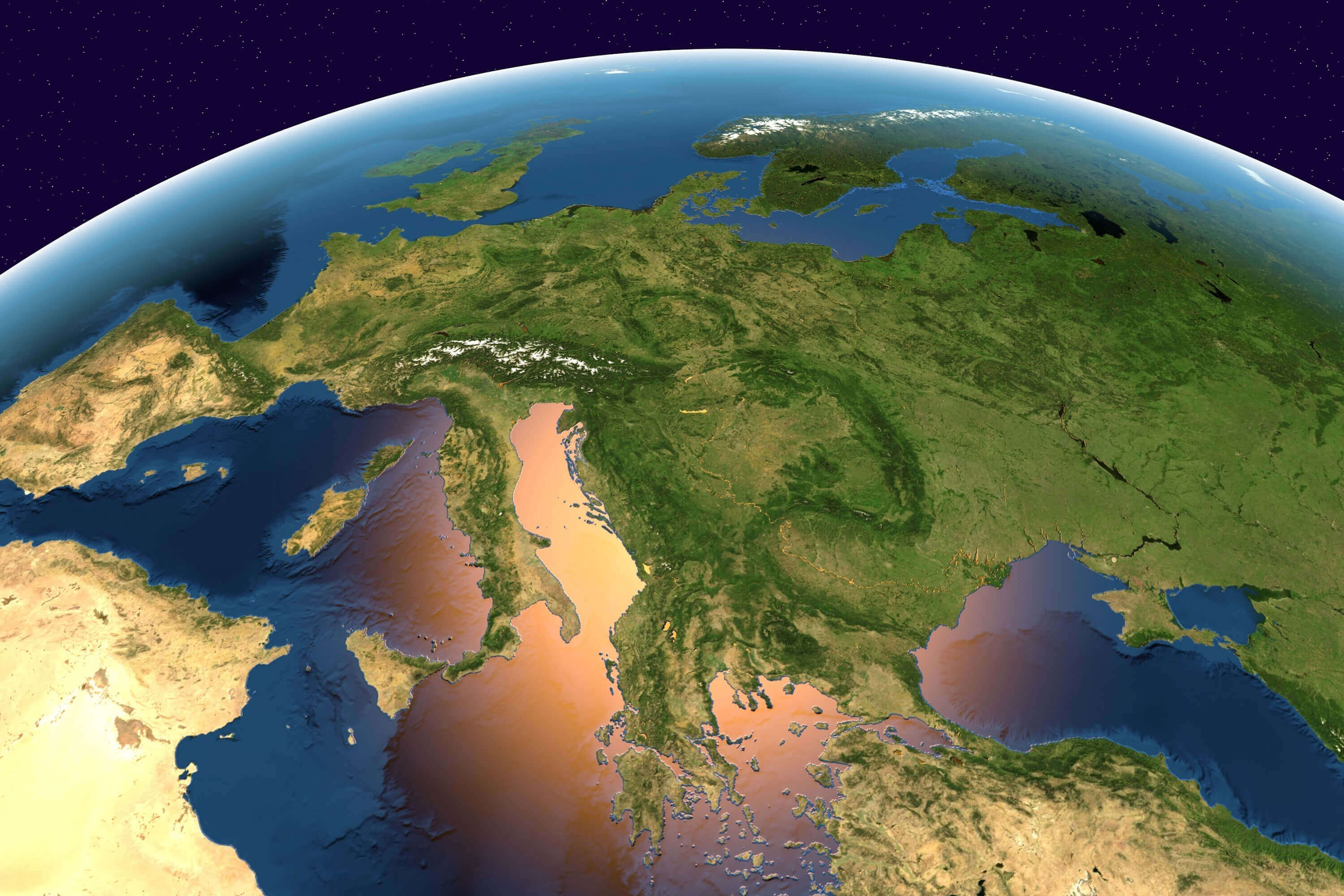
This satellite map of Europe and the Mediterranean, featuring a detailed 3D view of the continent’s physical landscape. See the Alps, Italian Peninsula, Balkans, Greece, Scandinavia and surrounding seas, with mountains, valleys, coastlines and islands clearly visible. This high-resolution relief map offers a striking perspective of Europe’s terrain and natural geography.
Europe belgium netherlands satellite map

Europe Spain France Italy satellite image
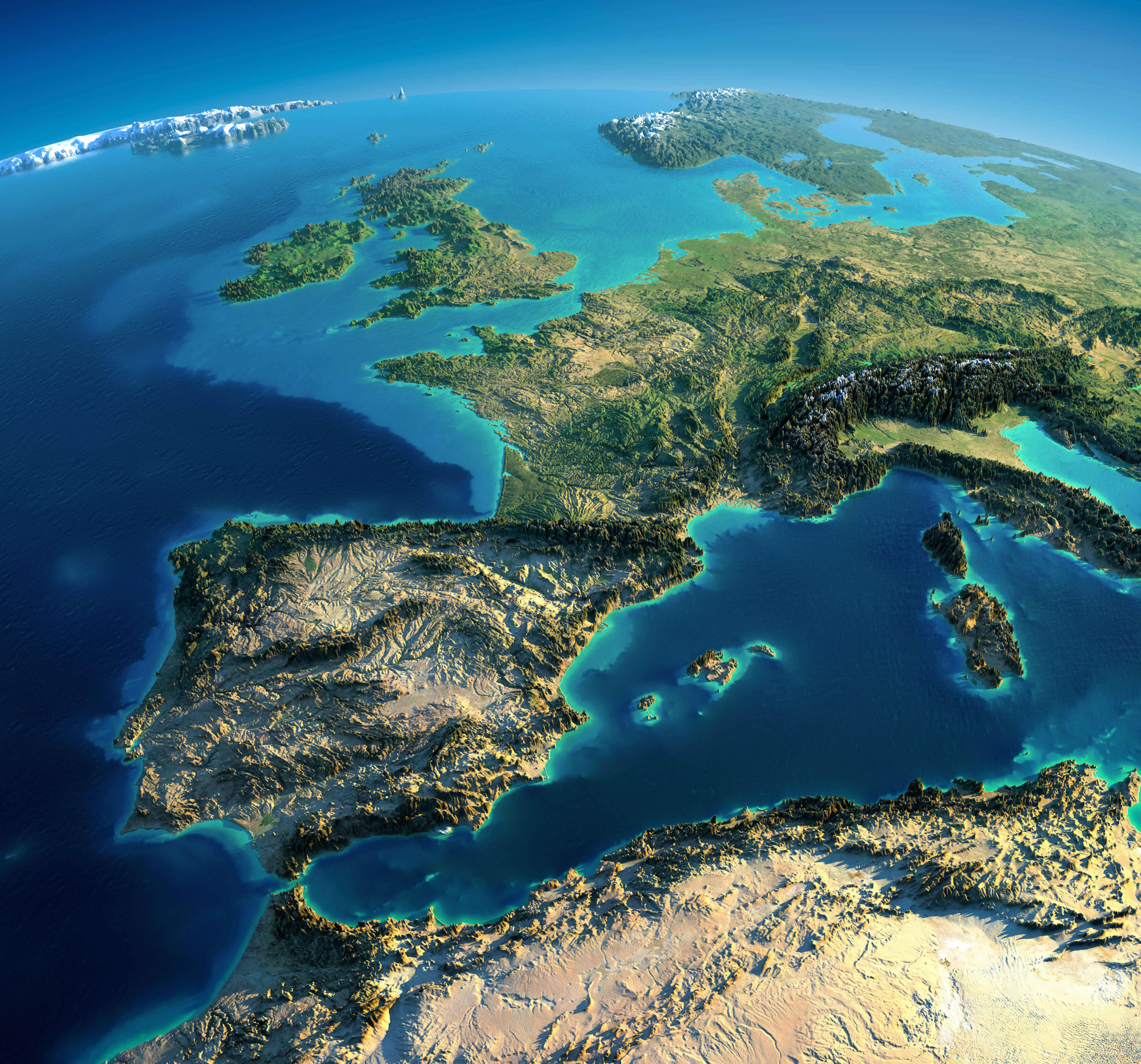
Europe and Africa satellite map
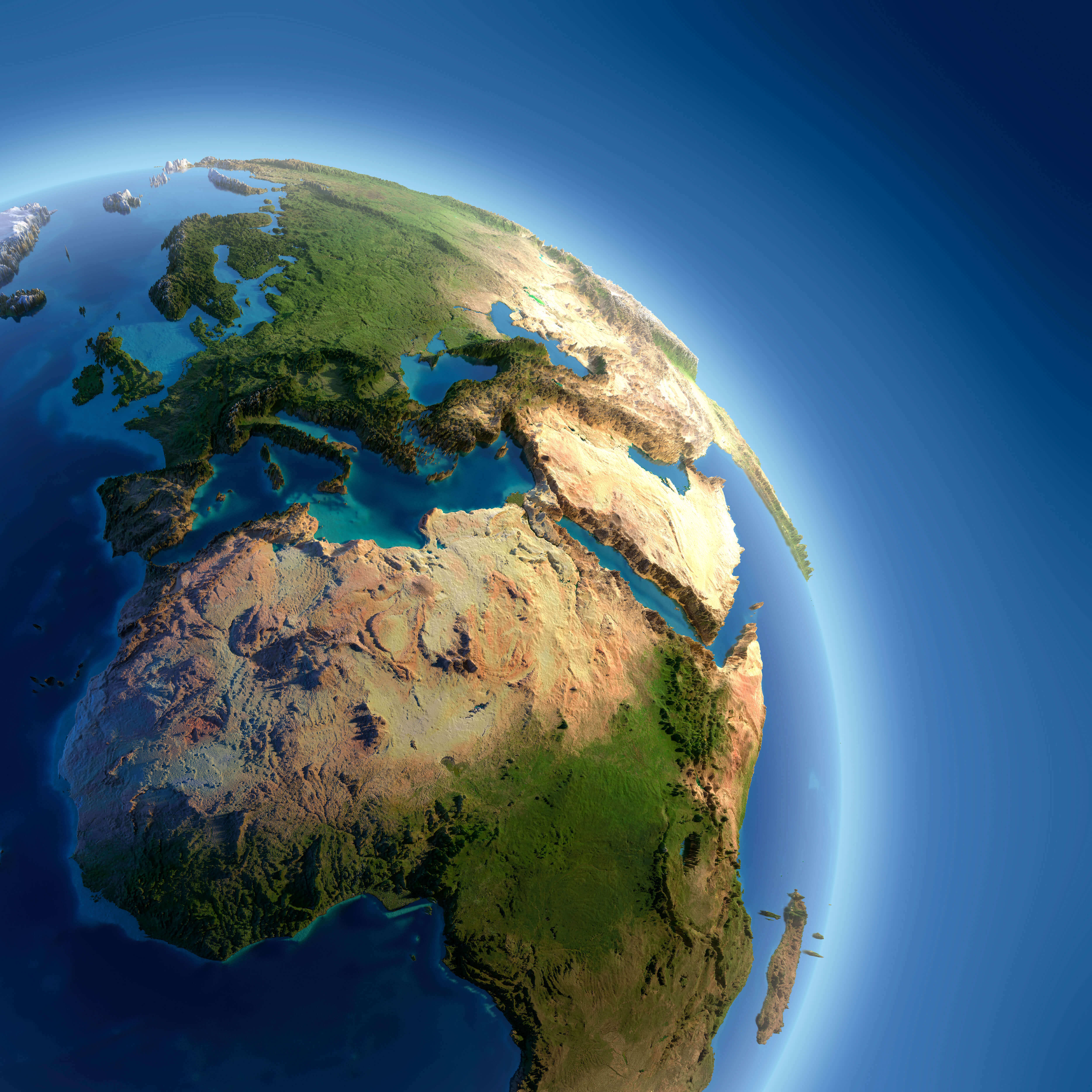
Europe and north Africa satellite map
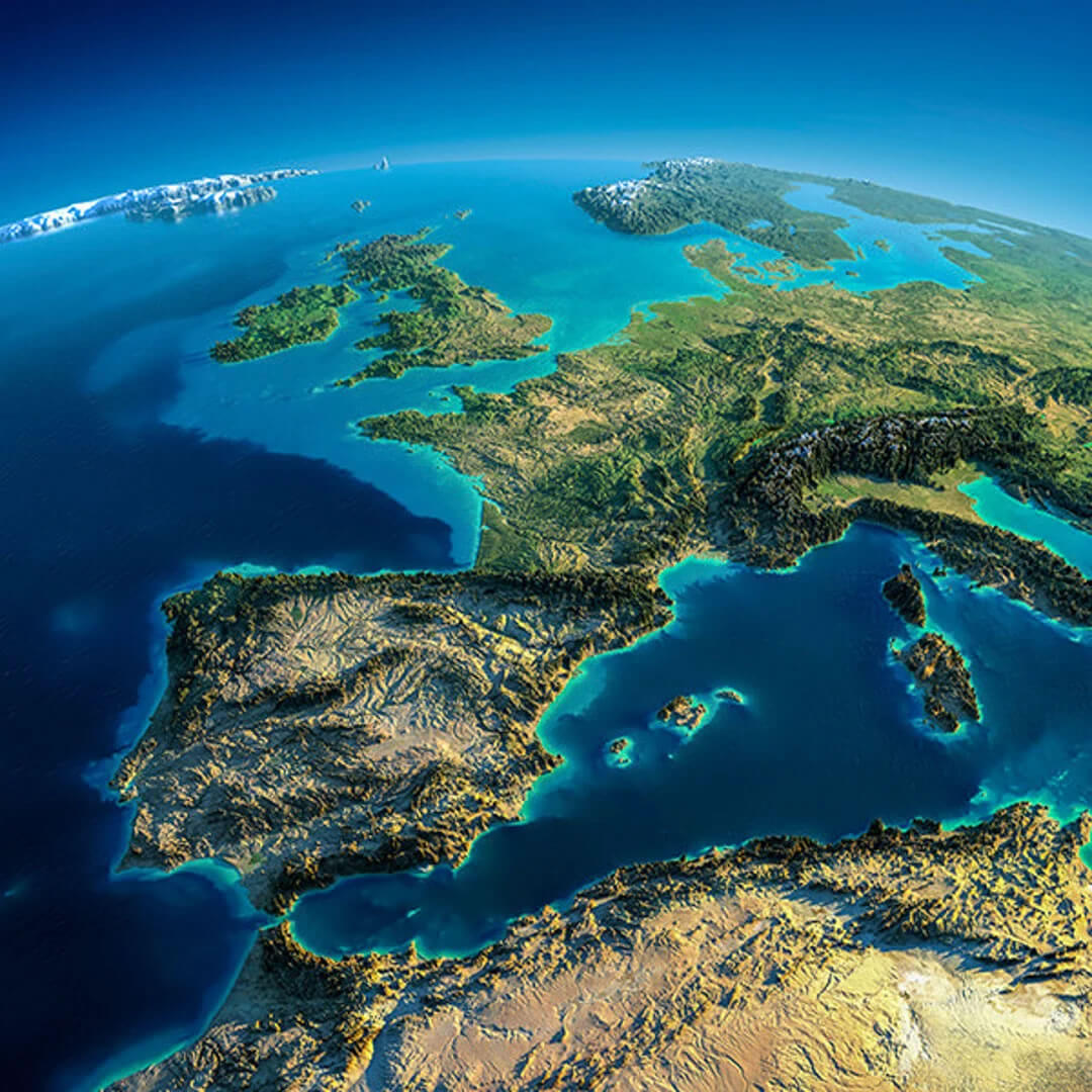
Europe and Spain satellite view map
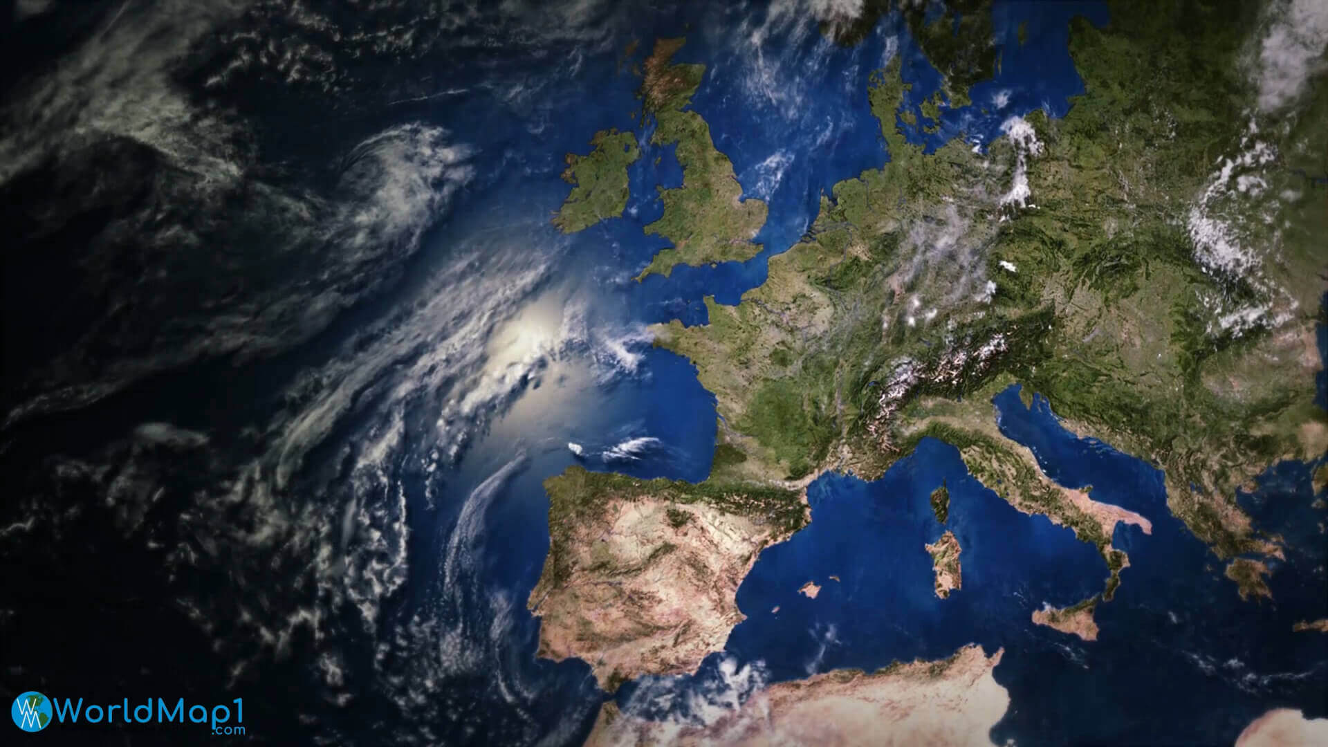
Europe Denmark Norway Sweden Finland satellite map in the night
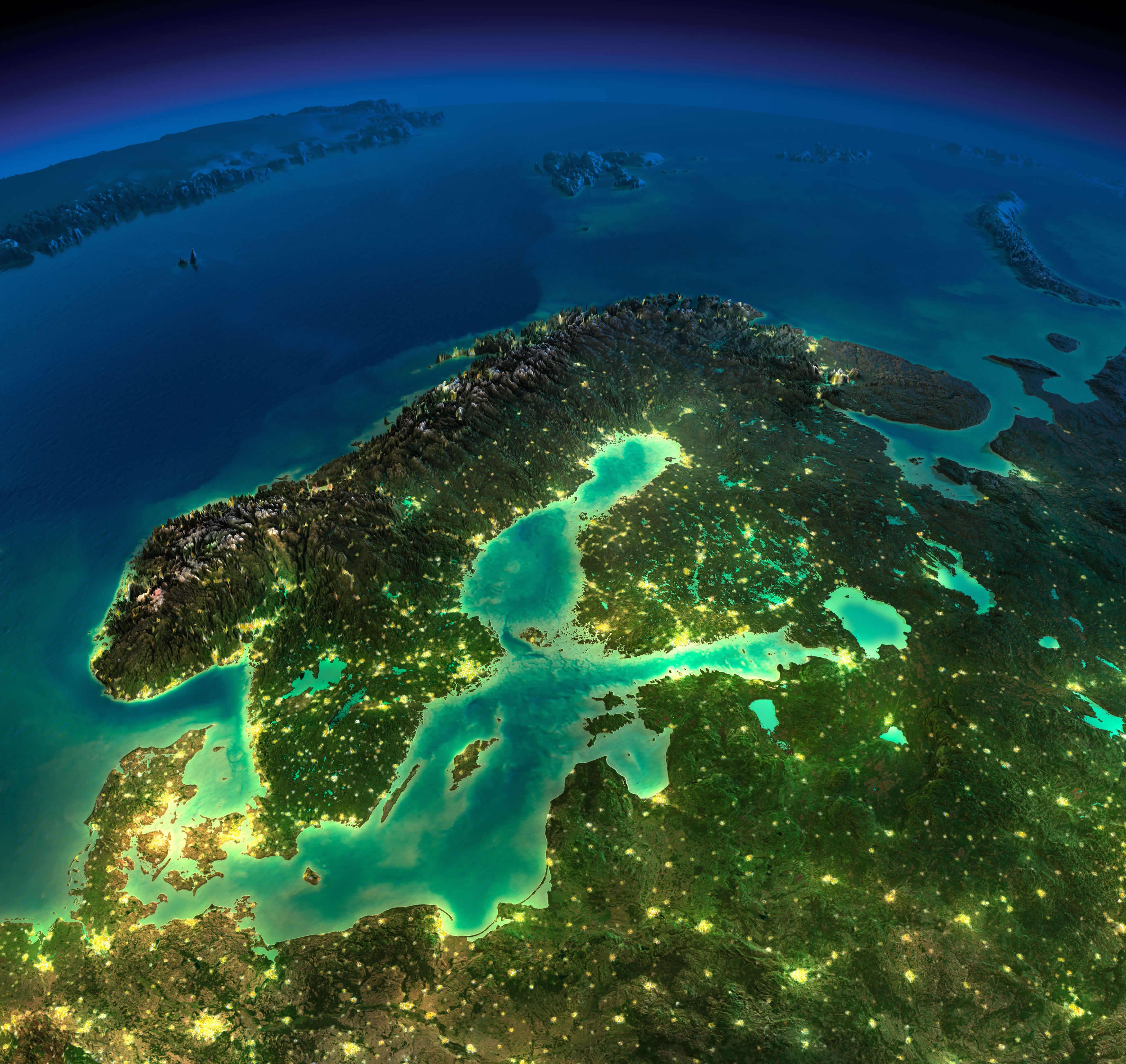
Europe France Germany satellite map in the night
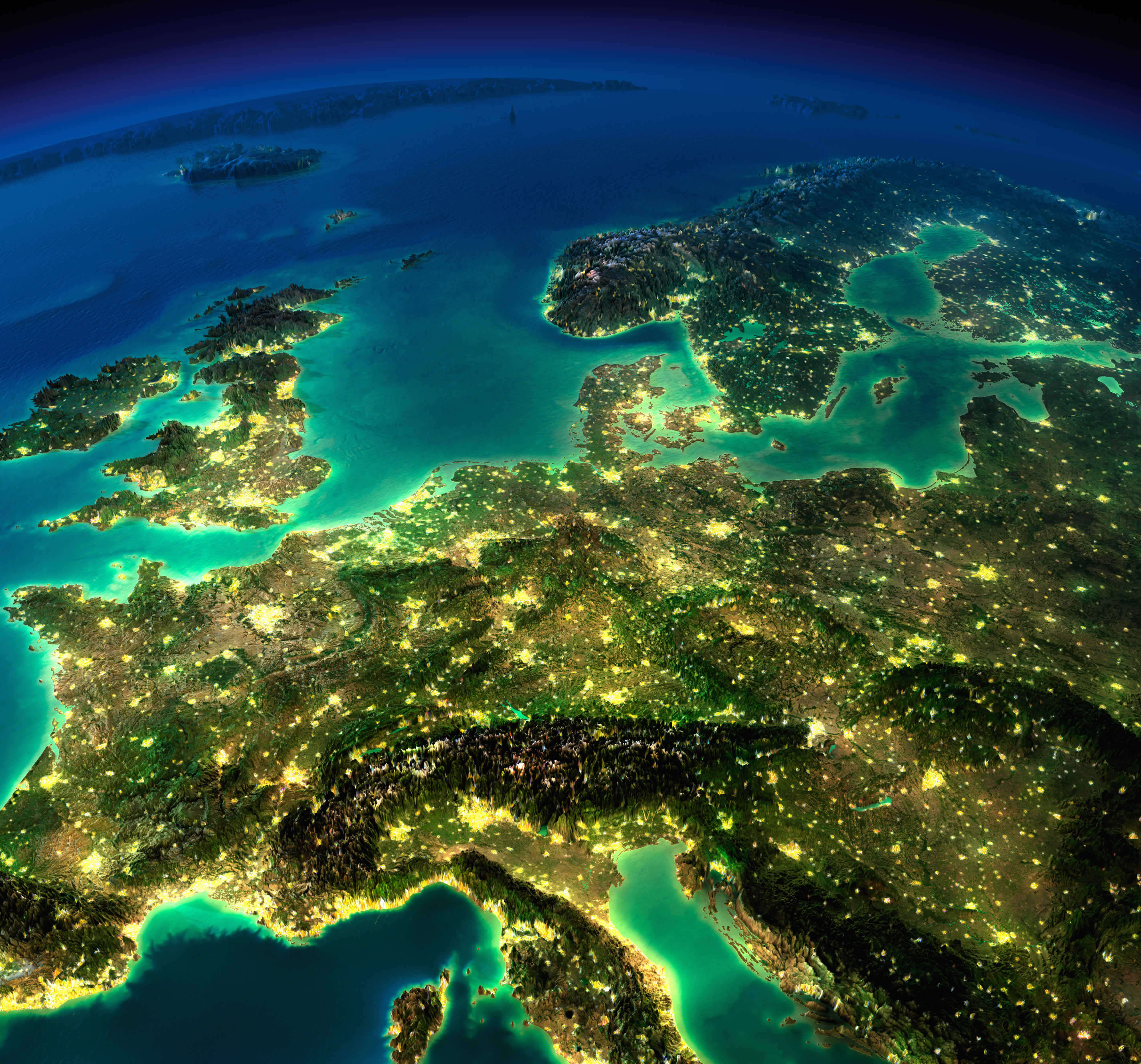
Europe from Spain map

Europe imagery shaded relief map

Europe ireland uk sweden norway satellite map in the night

Europe map from space in the night

Europe map in the night from space
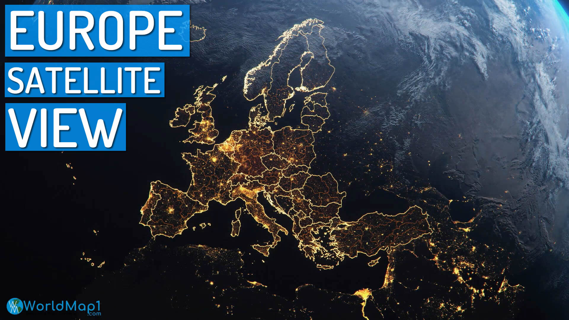
Europe satellite map at night
Europe satellite map from space
Europe satellite map in the night

Europe satellite map

Europe satellite maps
Europe satellite view map from space
Europe satellite view map
Physical map of Europe and Asia
Satellite map of Europe from space
Satellite map of Europe
Feel free to explore these pages as well:
- Europe Map
- Europe Political Map
- Europe Physical Map
- Europe High Resolution Map
- Europe Countries Map
- Europe Satellite Map
- Europe Cities Map
- Europe Religion Map
- Europe Topography Map
- Europe Historical Map
- Europe Economy Map
- Europe Population Map
- Europe Road Map
- Europe Time Zone Map
- Europe Blank Map
- Western Europe Map
- Northern Europe Map
- Southern Europe Map
- Eastern Europe Map
- European Union Map