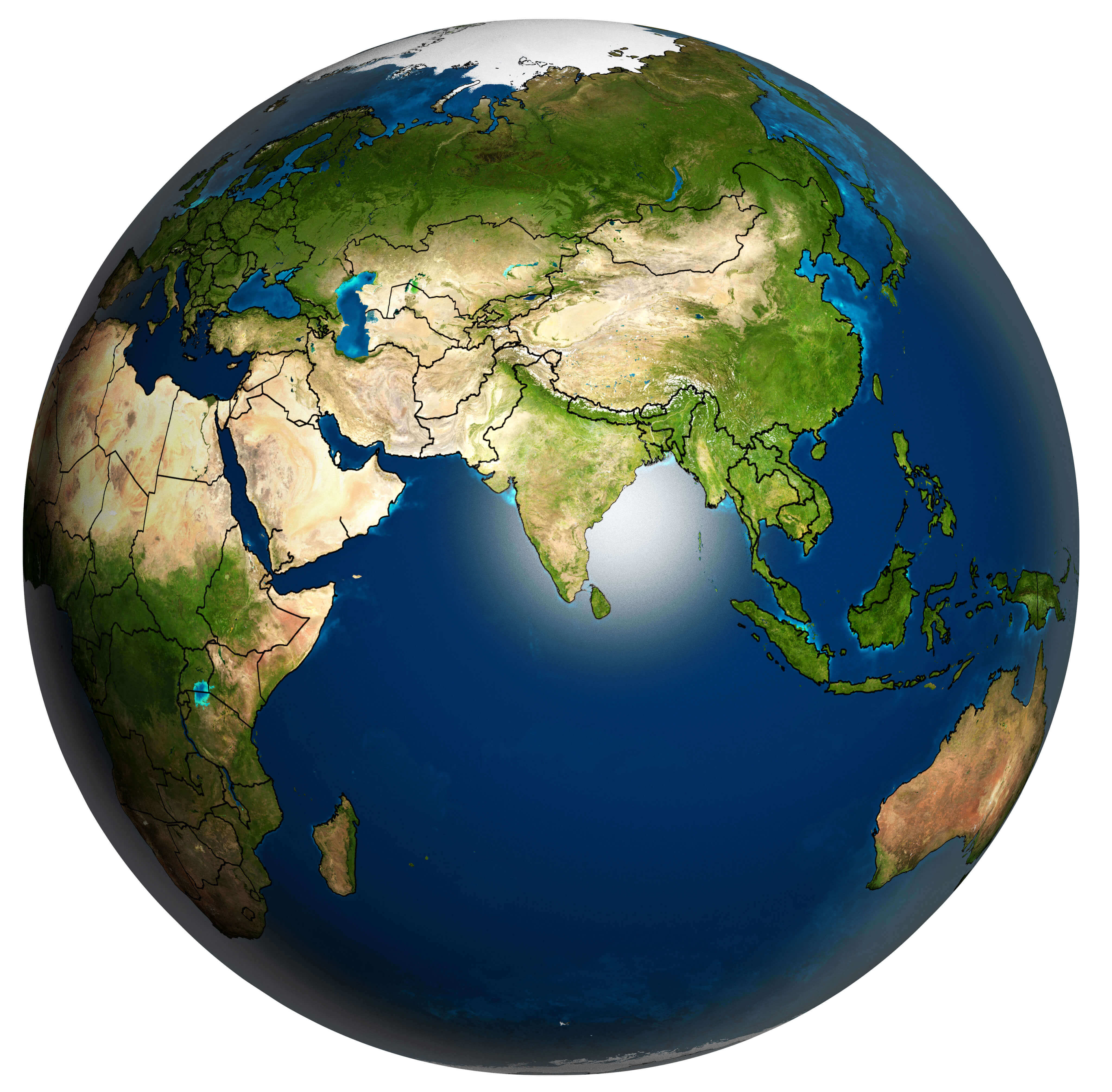
Asia and the Earth planet map
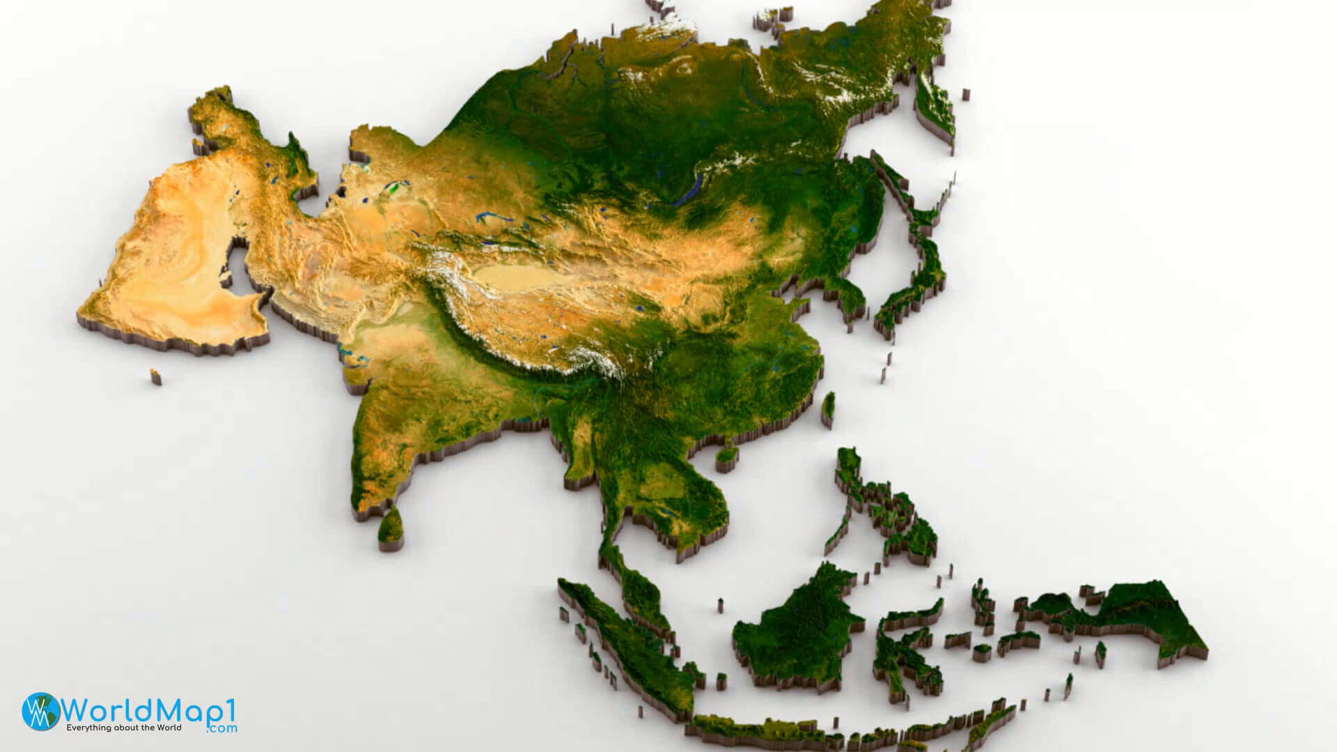
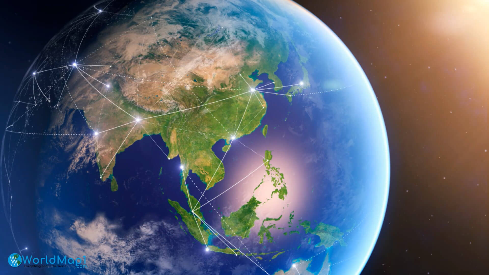
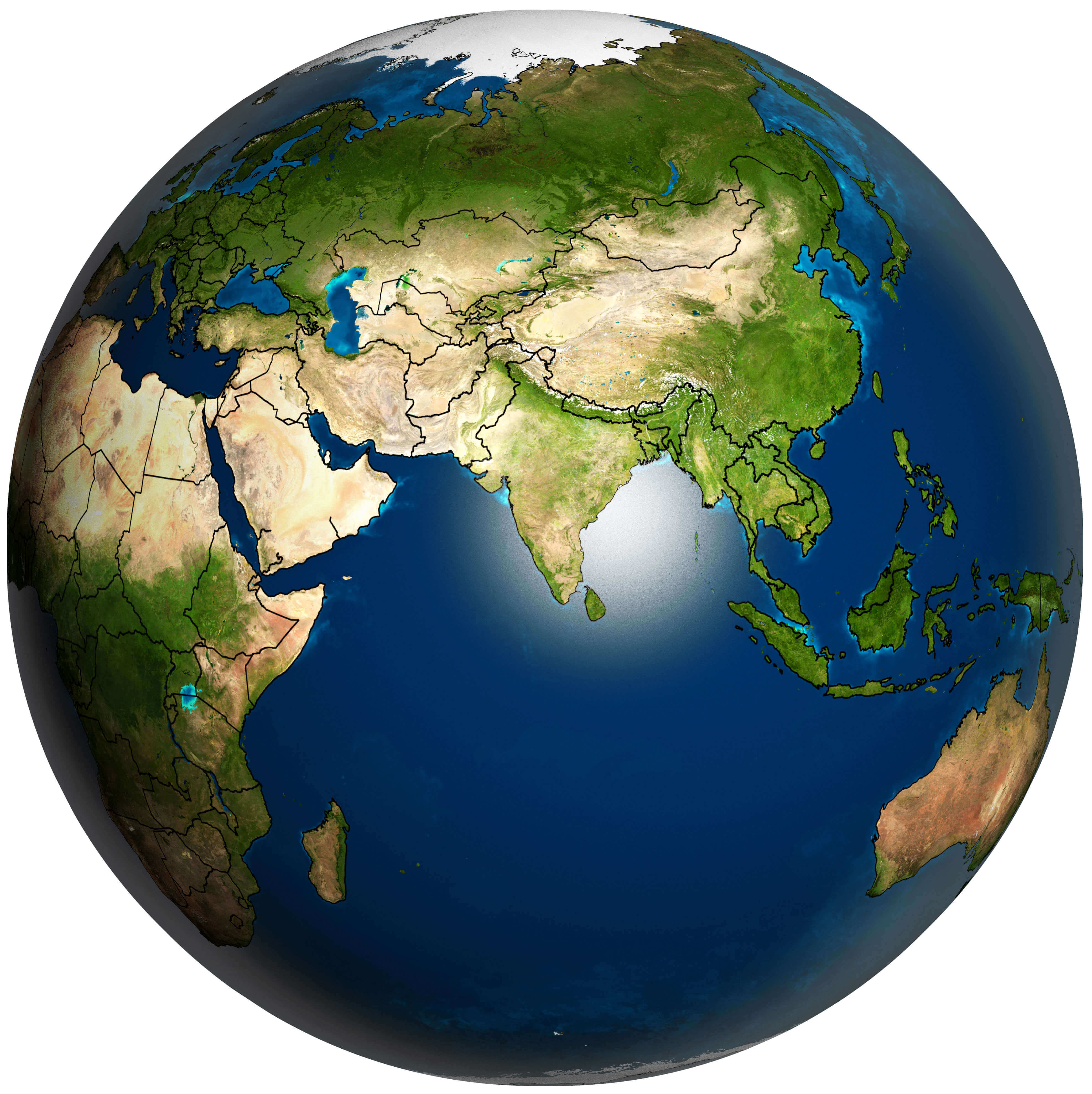 Asia and Earth planet map showing topography, borders, and surrounding oceans.
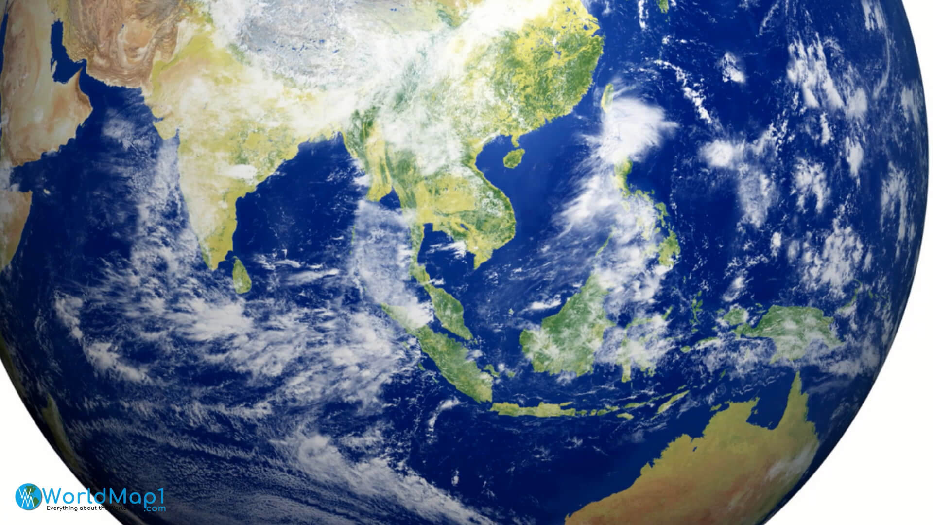
This satellite-style map shows Asia on a globe, highlighting its terrain, national borders and neighbouring continents. Regions visible include the Middle East, South Asia, East Asia, Southeast Asia, and parts of Africa, Australia, and Europe, offering a global perspective on Asia's location.
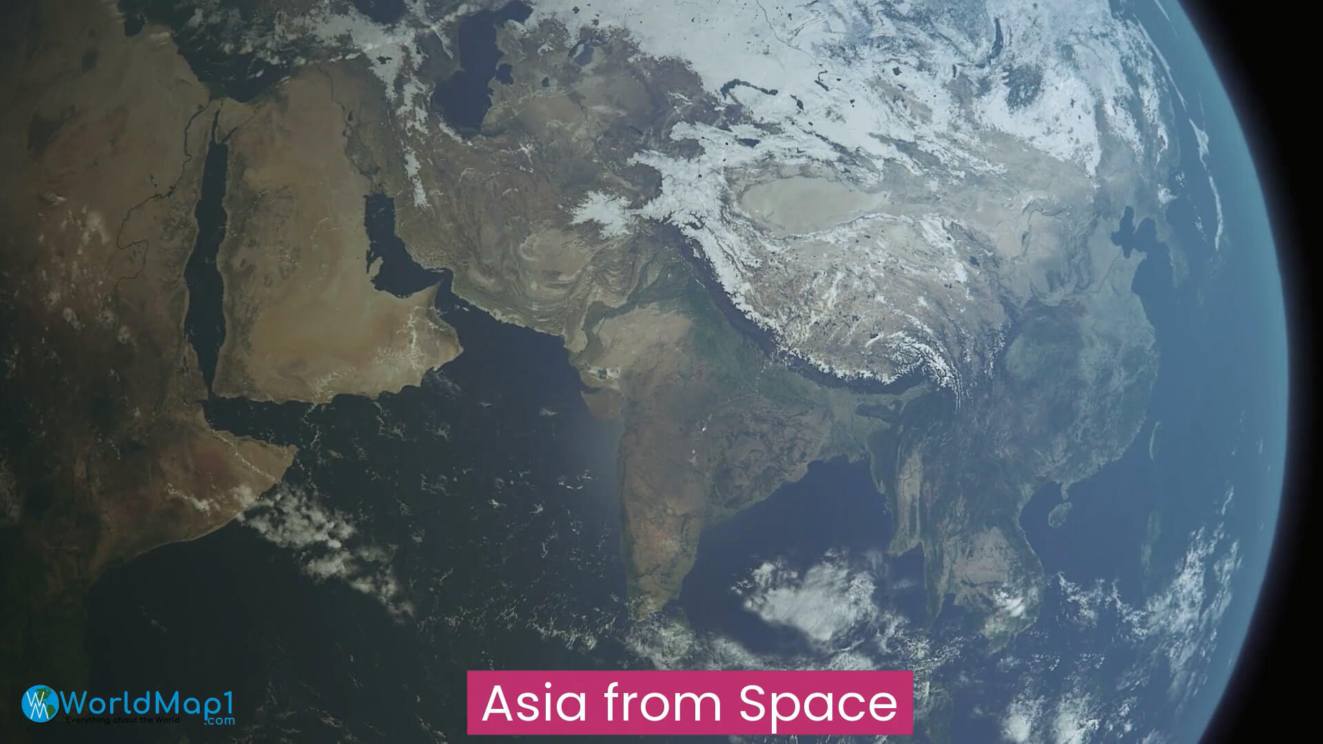
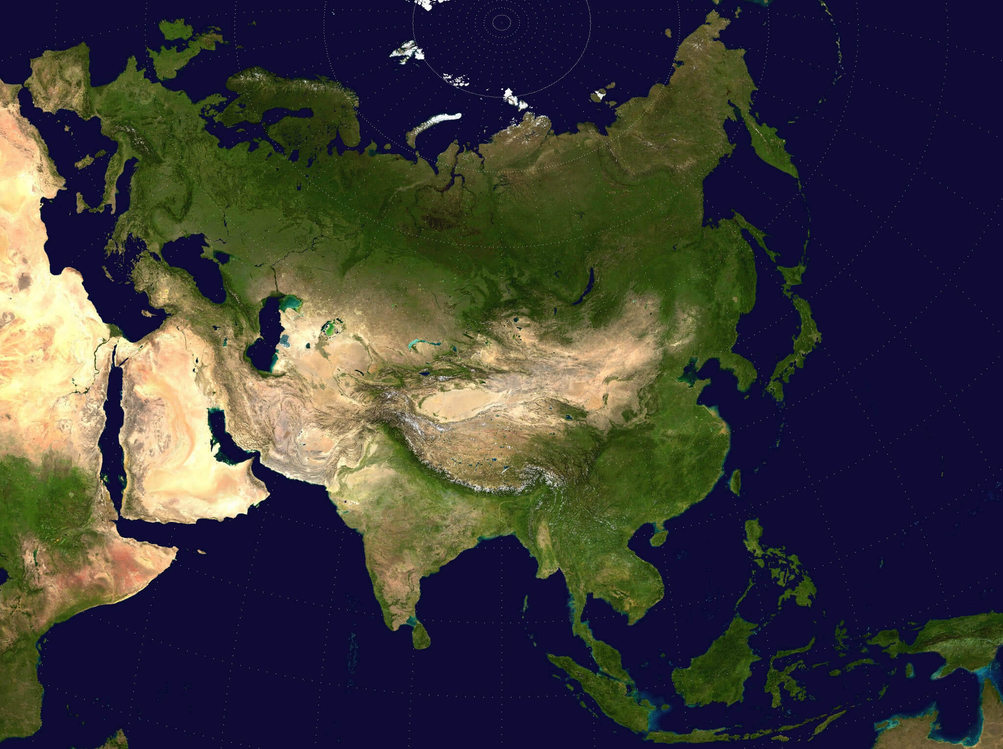
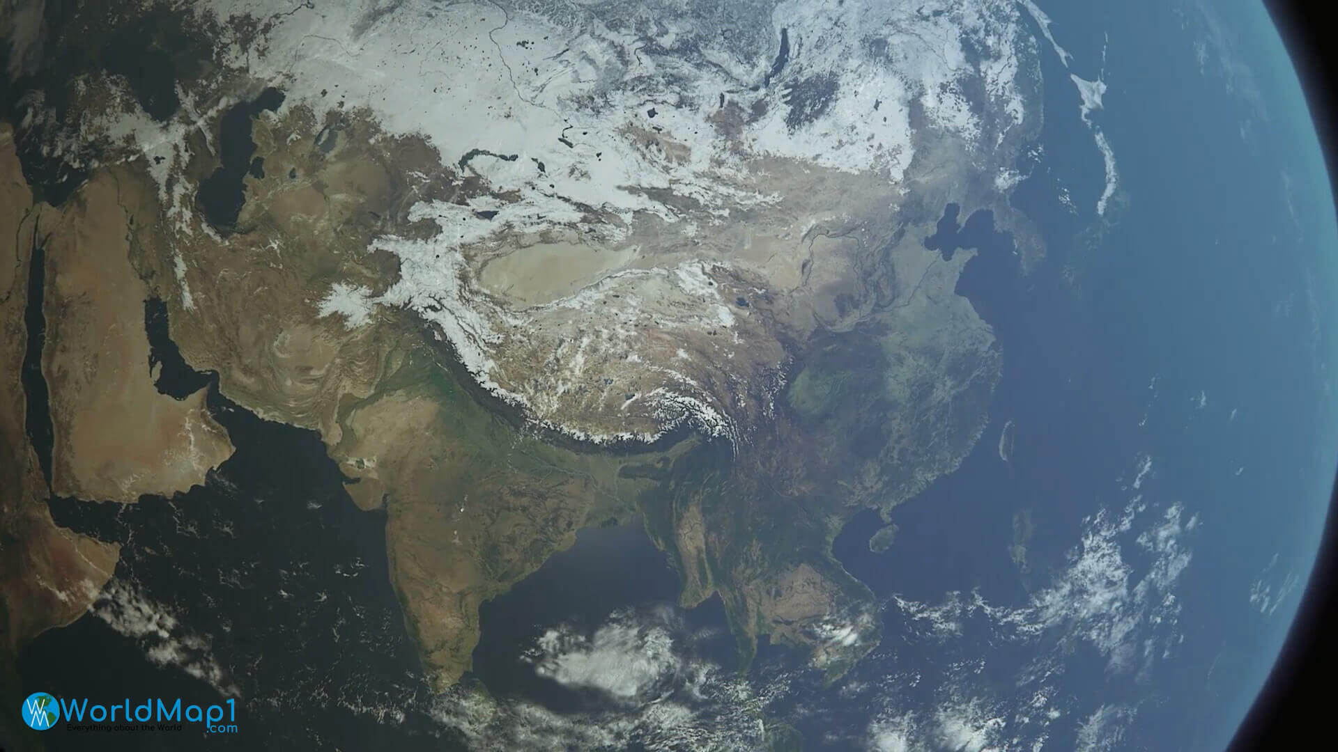
Asia Satellite View: A Stunning Glimpse from Space
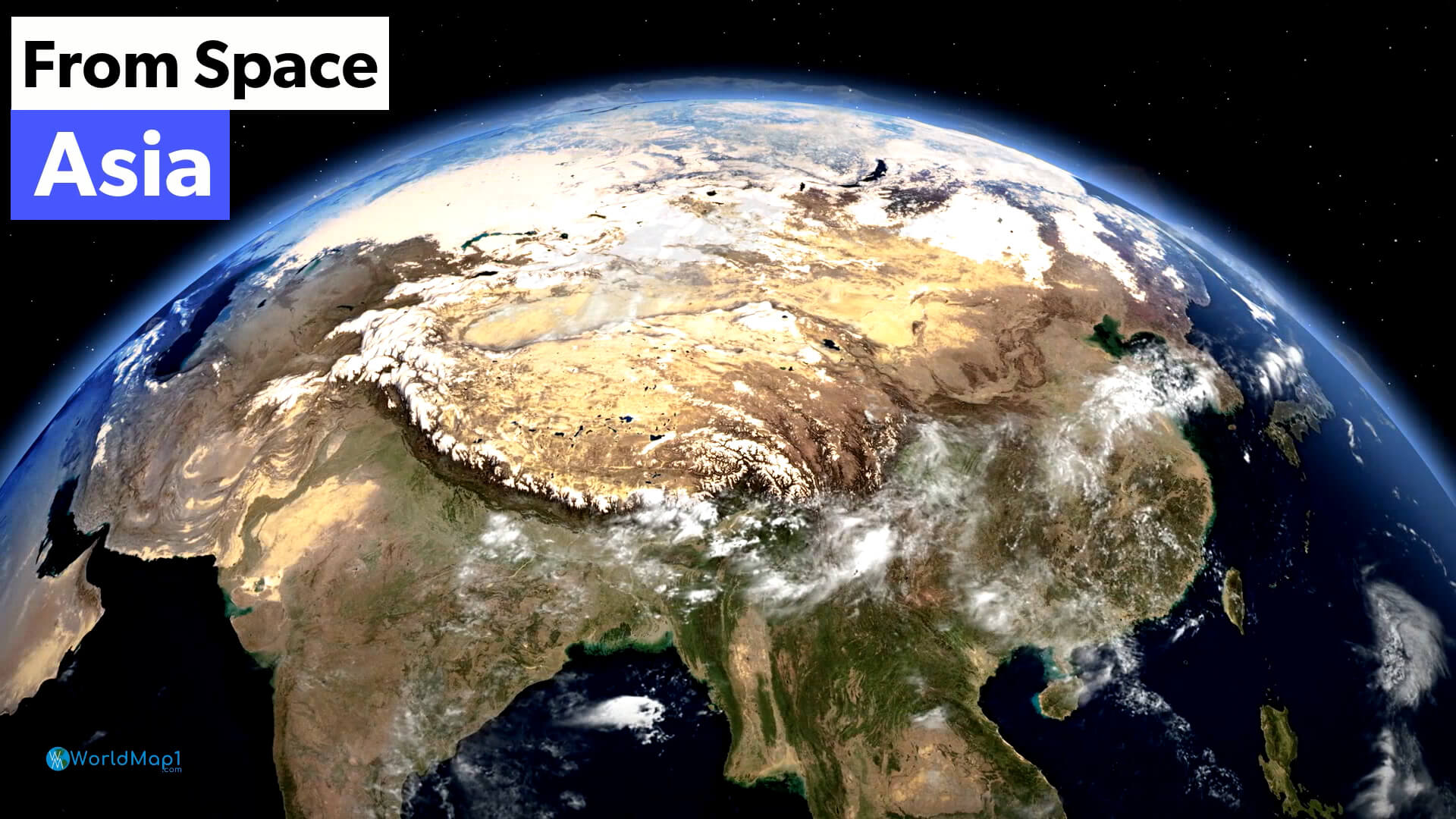 Satellite image of Asia showing clouds, terrain, and natural landscapes
This high-resolution satellite image captures Asia from space, highlighting the Himalayas, vast deserts, lush green regions, and swirling cloud formations. The image offers a clear view of the continent’s topography, weather patterns, and natural beauty as seen from orbit.
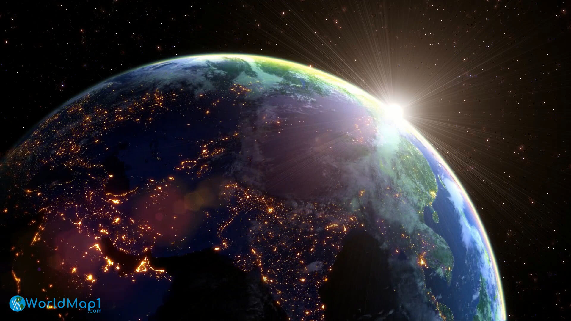
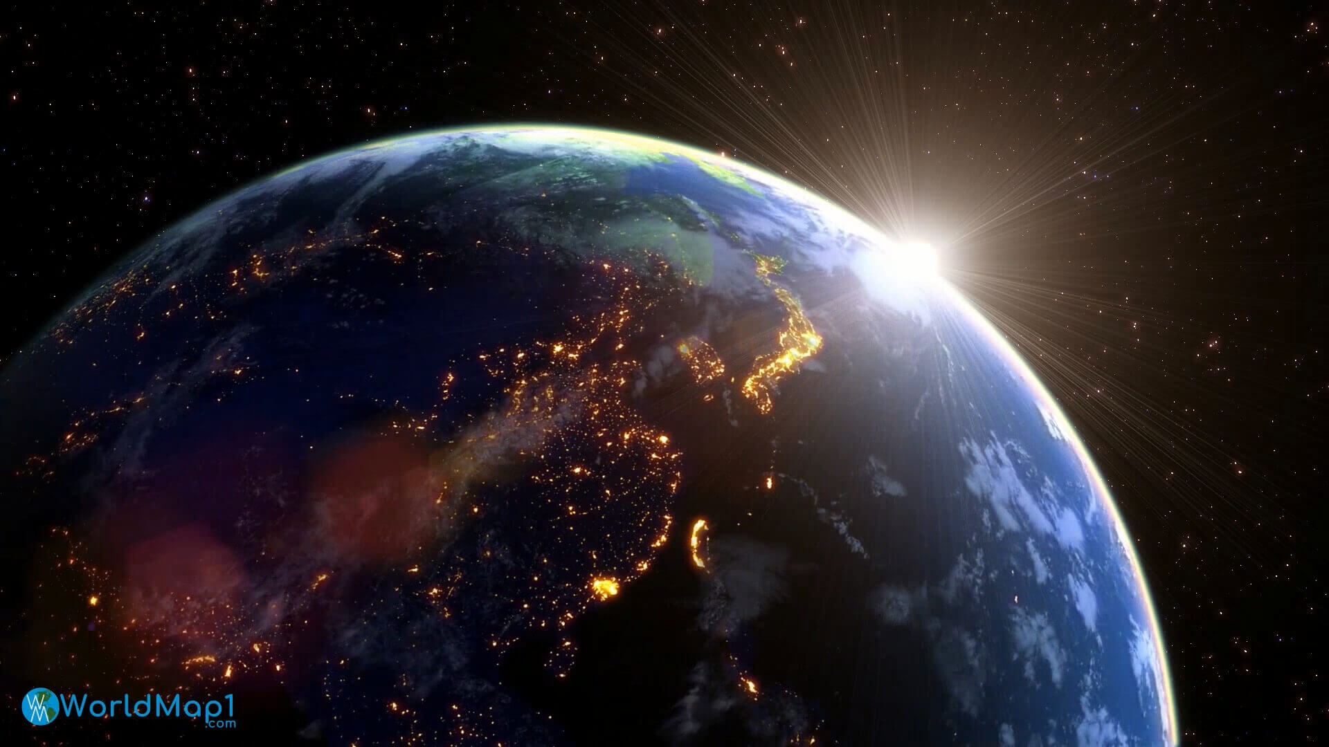
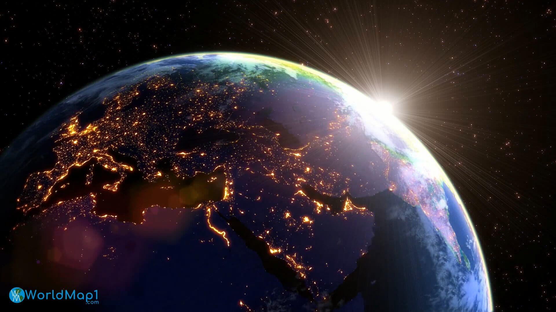
Asia at Night: A Detailed Earth Map Illuminated from Space
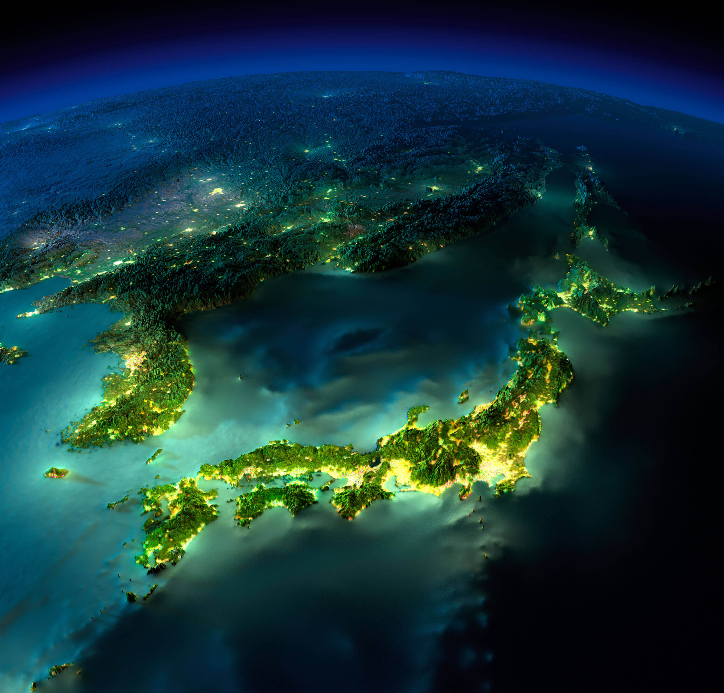 Detailed night map of Asia showing illuminated cities and terrain from space
This stunning Earth map showcases Asia at night, with vibrant city lights illuminating Japan, Korea, and eastern China. The glowing urban clusters reveal population density, while coastlines and terrain add depth, creating a striking view of human activity and geography from space.
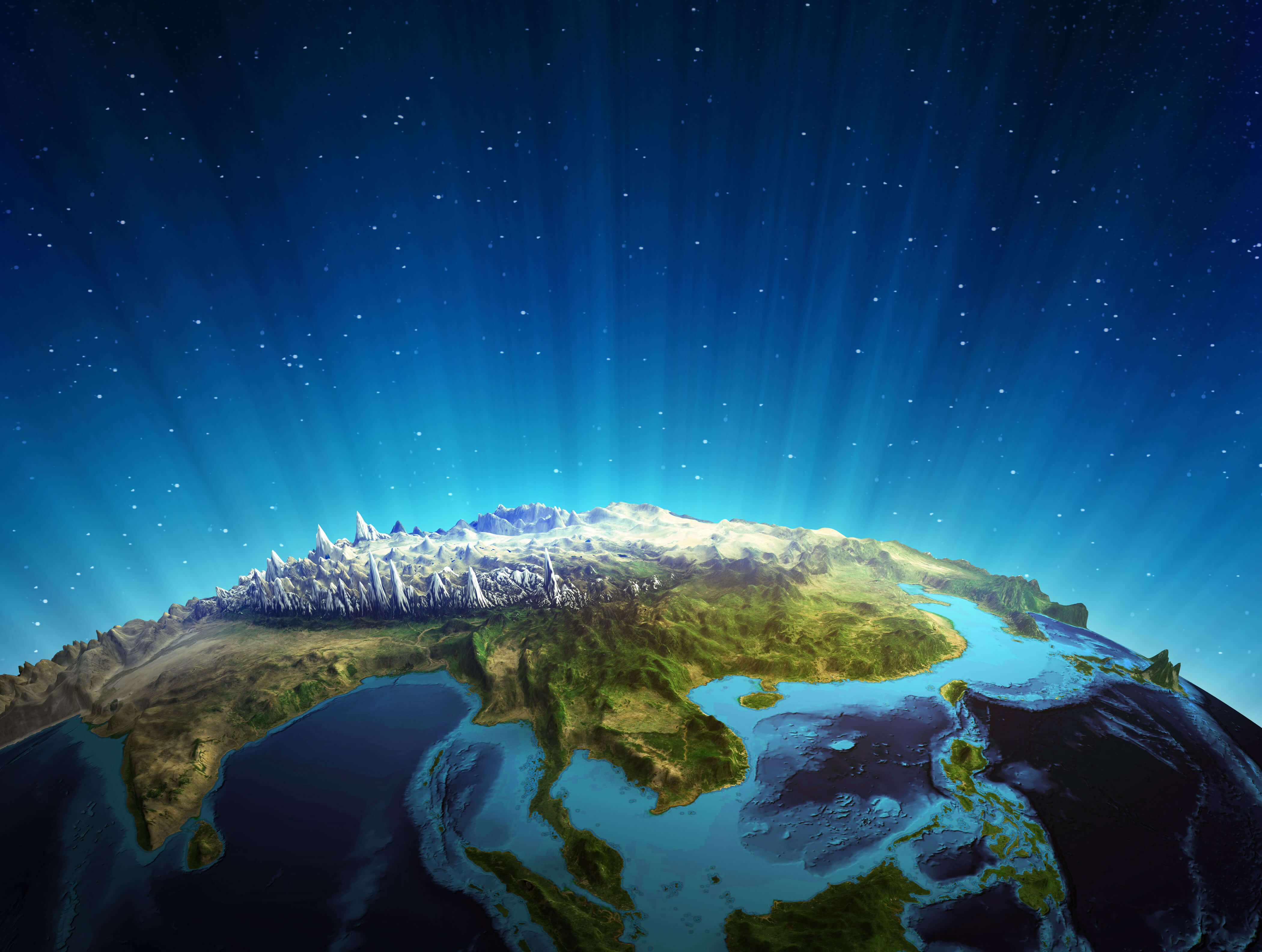
Asia and Himalayas from space

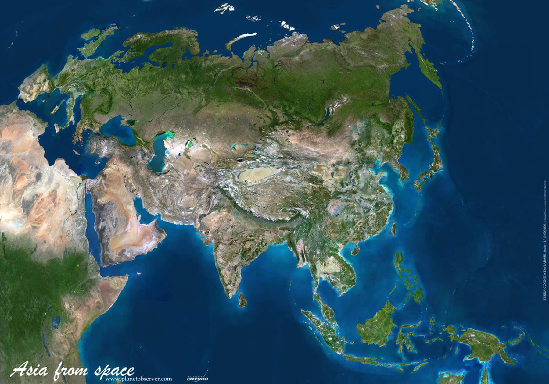
Asia satellite image map
Asia Earth plate map
Asia from space
Asia in the night from space
Asia planet night map
Asia satellite map
Australia and Asia the Earth map
Detailed topography map of Asia
Earth Asia country boundaries map
East Asia in the night from space
Europe Asia in the night from space
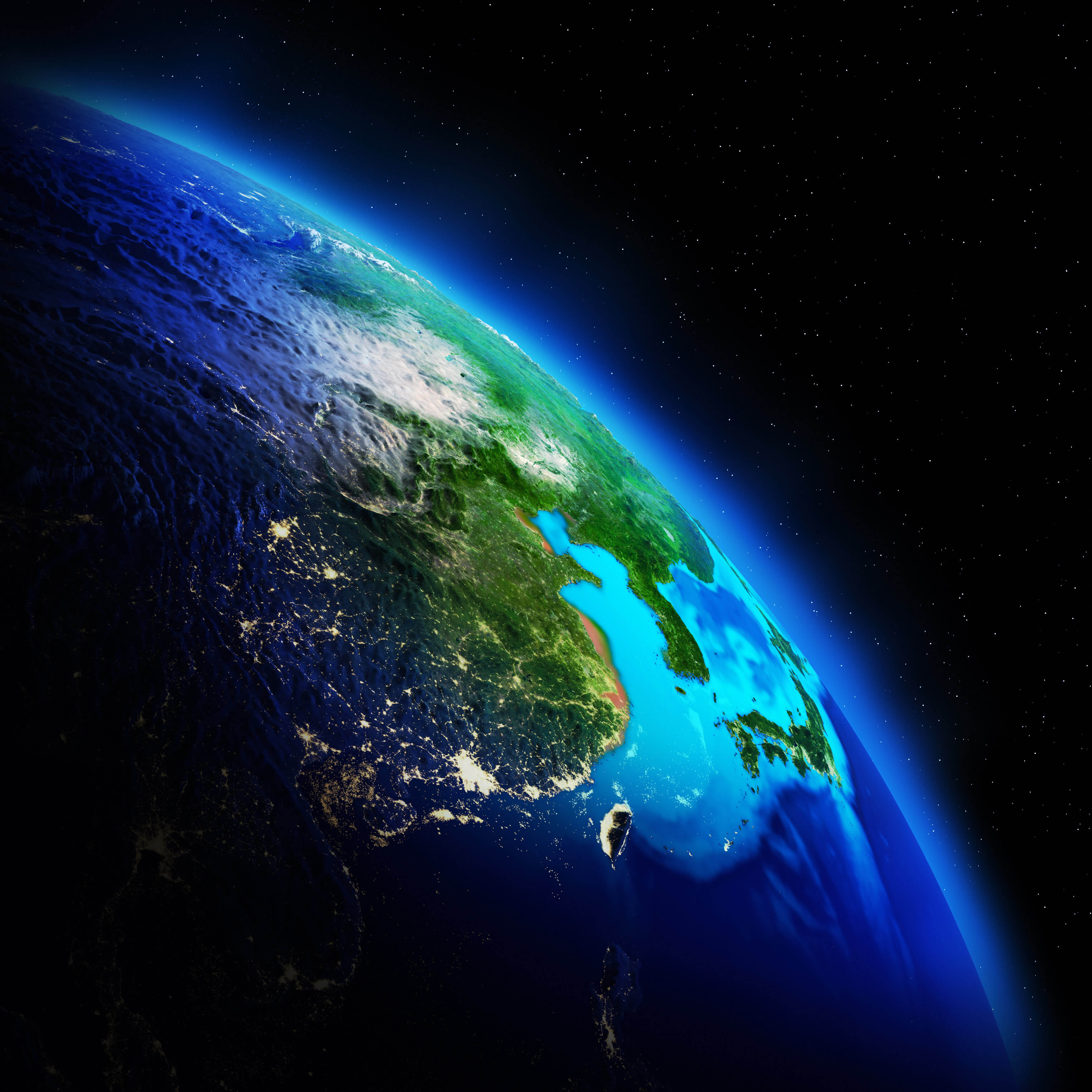
Far East Asia from space
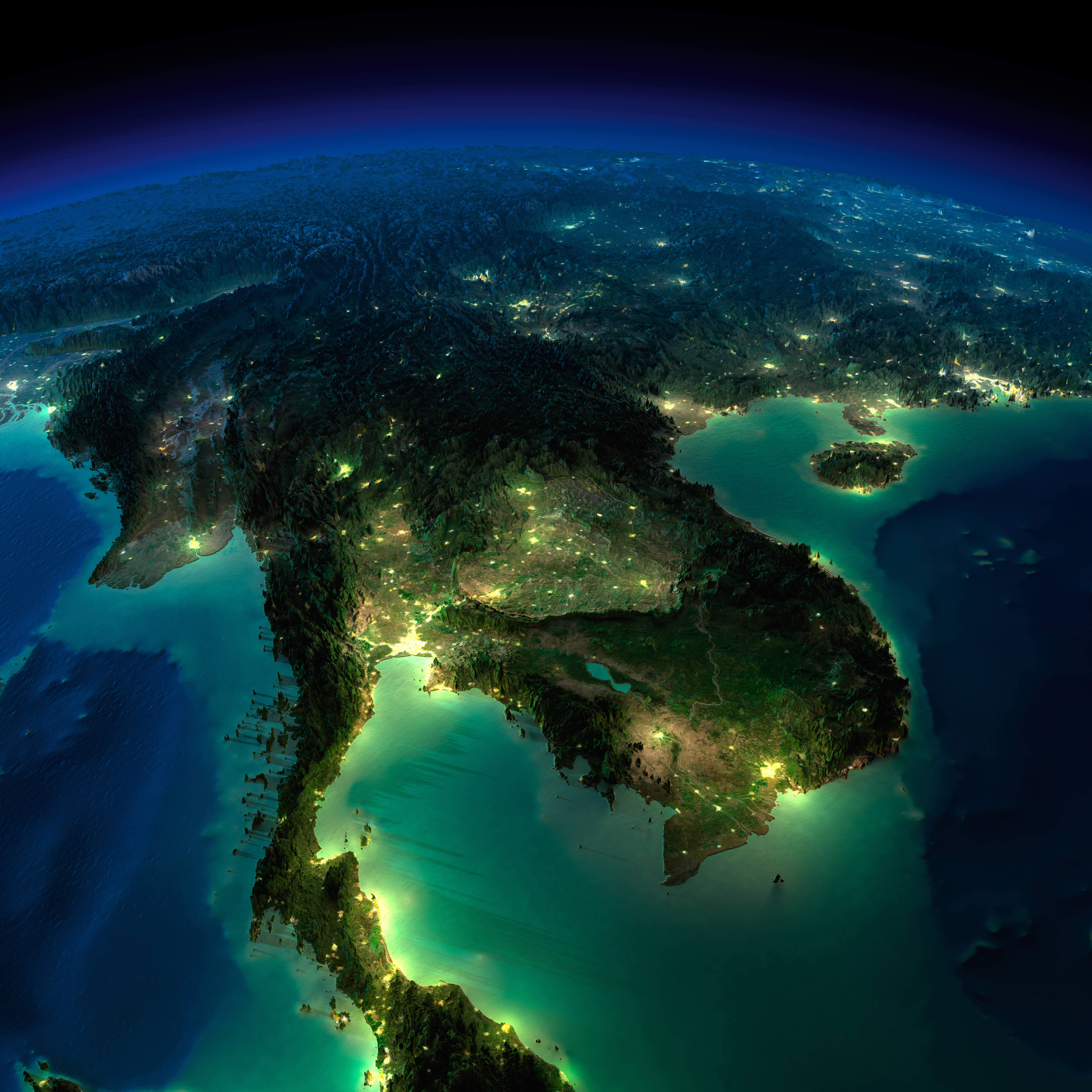
Indochina Peninsula satellite map
Satellite map of South Asia
Satellite view of Asia
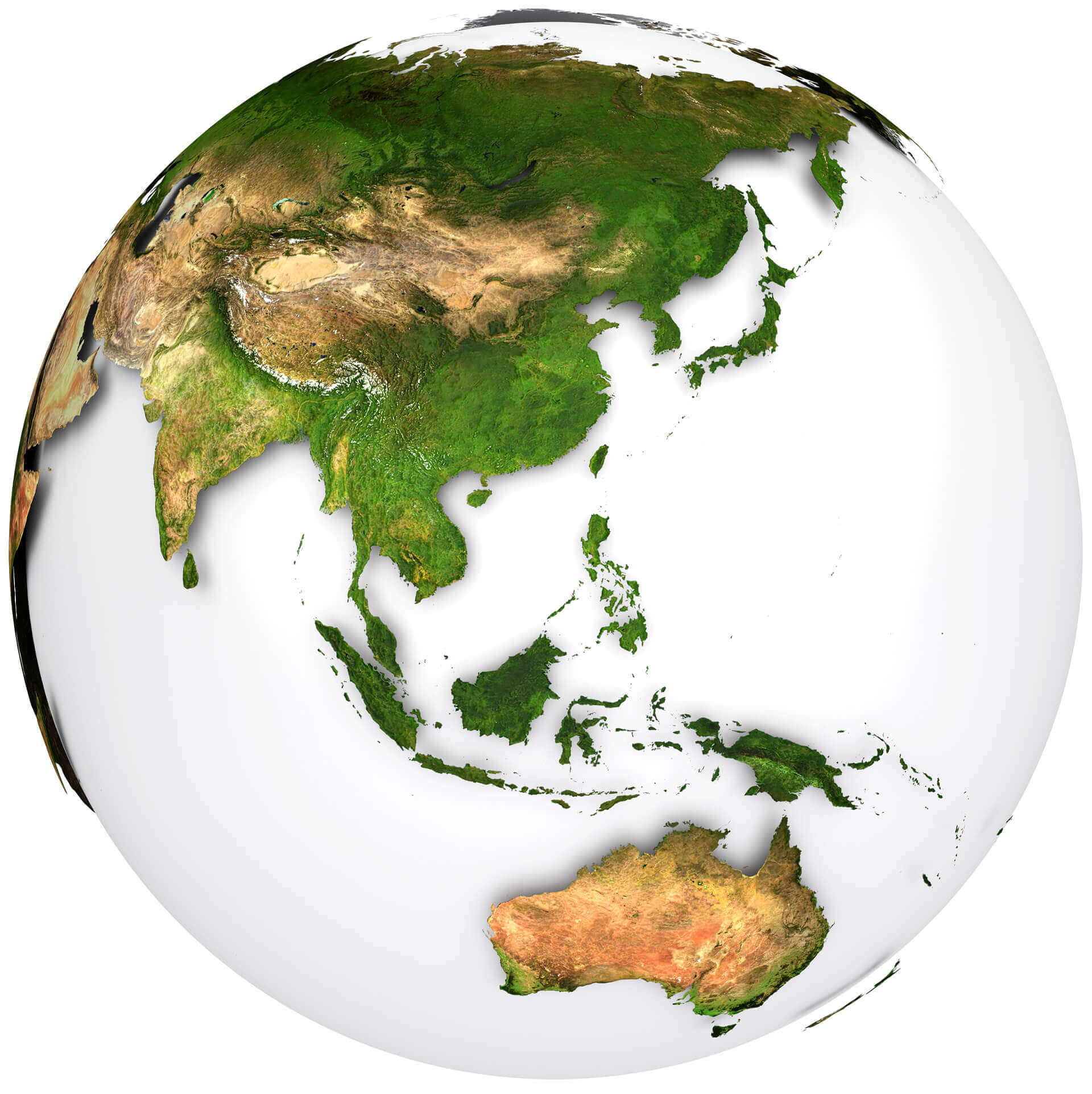
South East Asia and Oceania satellite map

South East Asia real relief satellite map
Author: Arif Cagrici