New Zealand Maps: Political, Physical and Regional Map Collection
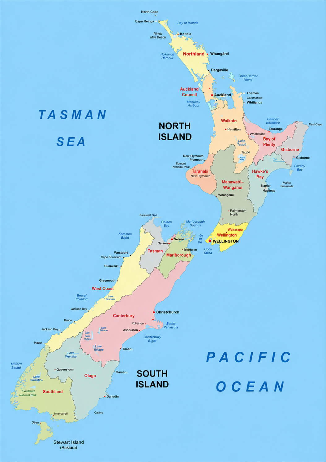
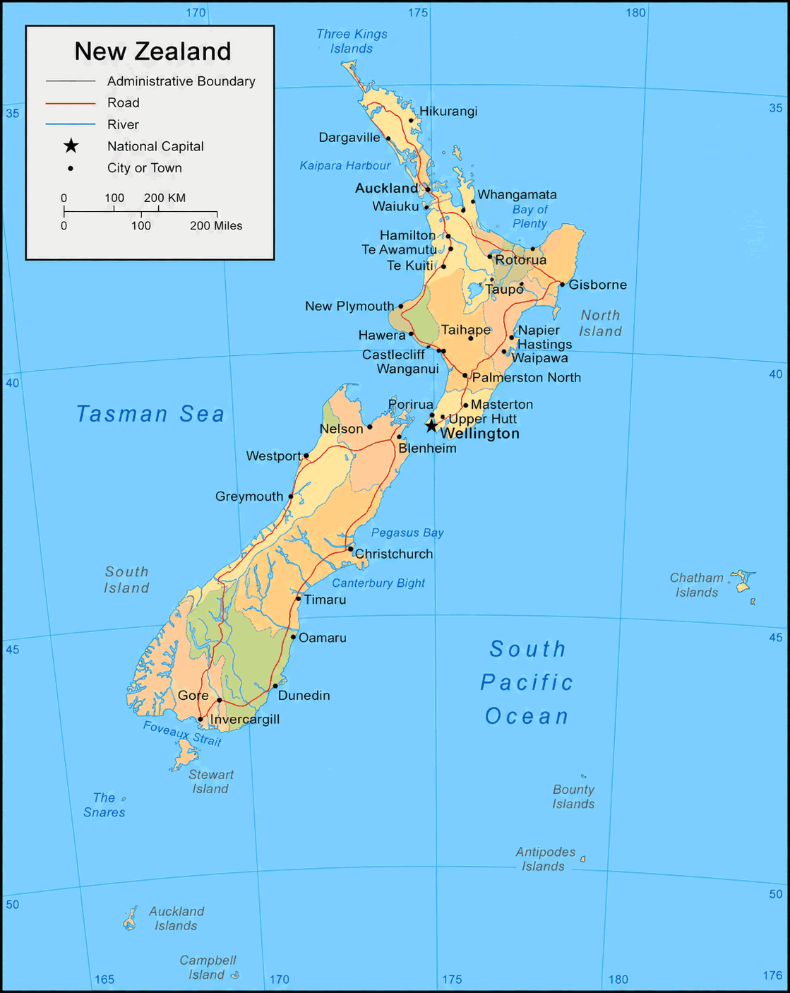
Discover our comprehensive New Zealand Maps Collection, featuring a wide range of detailed maps designed for travelers, students, researchers, and geography enthusiasts. This collection includes a New Zealand administrative divisions map, New Zealand provinces and regions map, New Zealand regions and provinces map, and New Zealand political boundaries map, offering clear insights into the country's administrative structure, regional organization, and political layout. These maps help users better understand how New Zealand is divided across its major regions and provinces.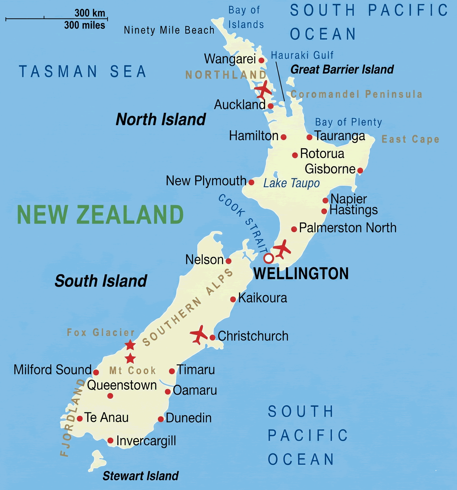
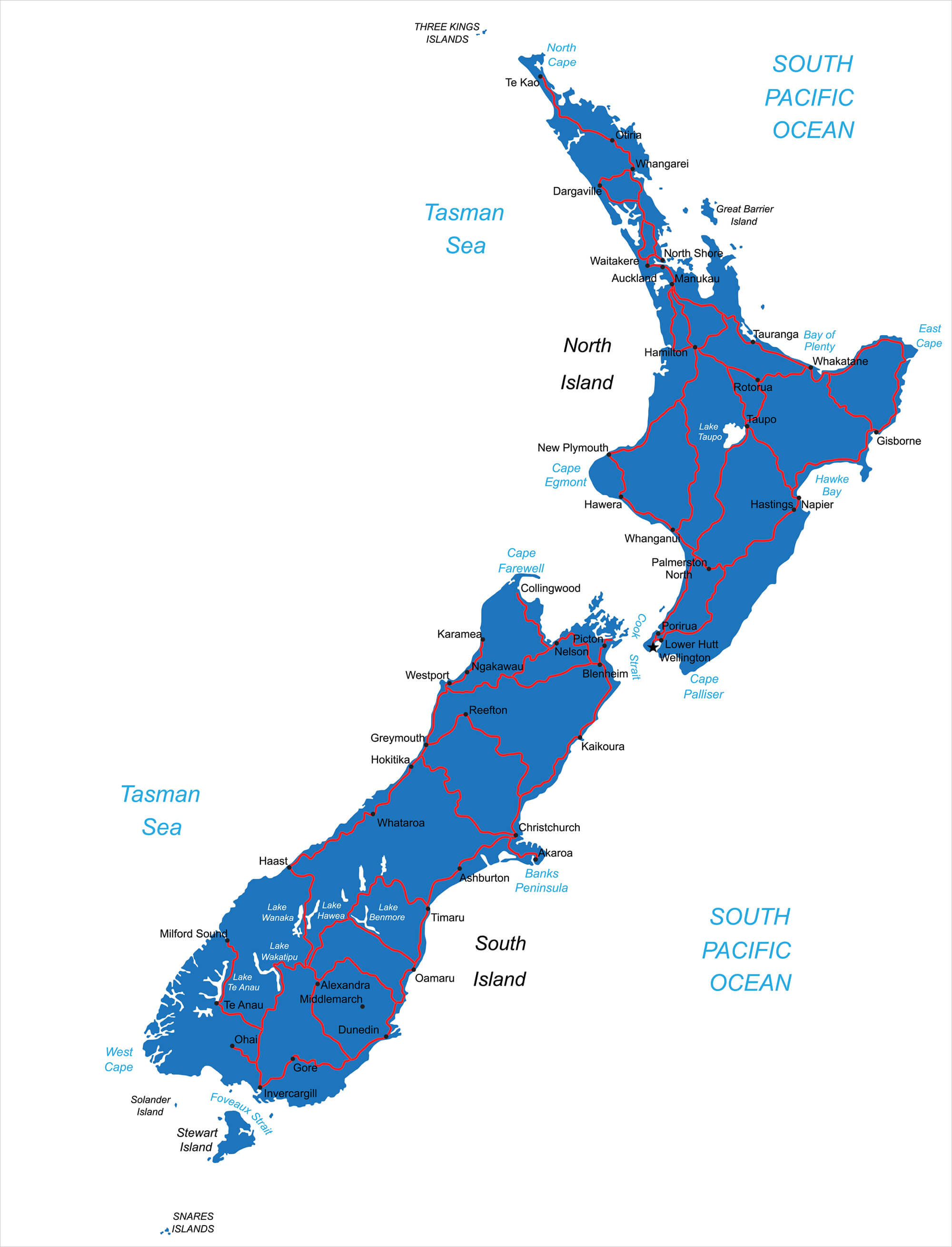
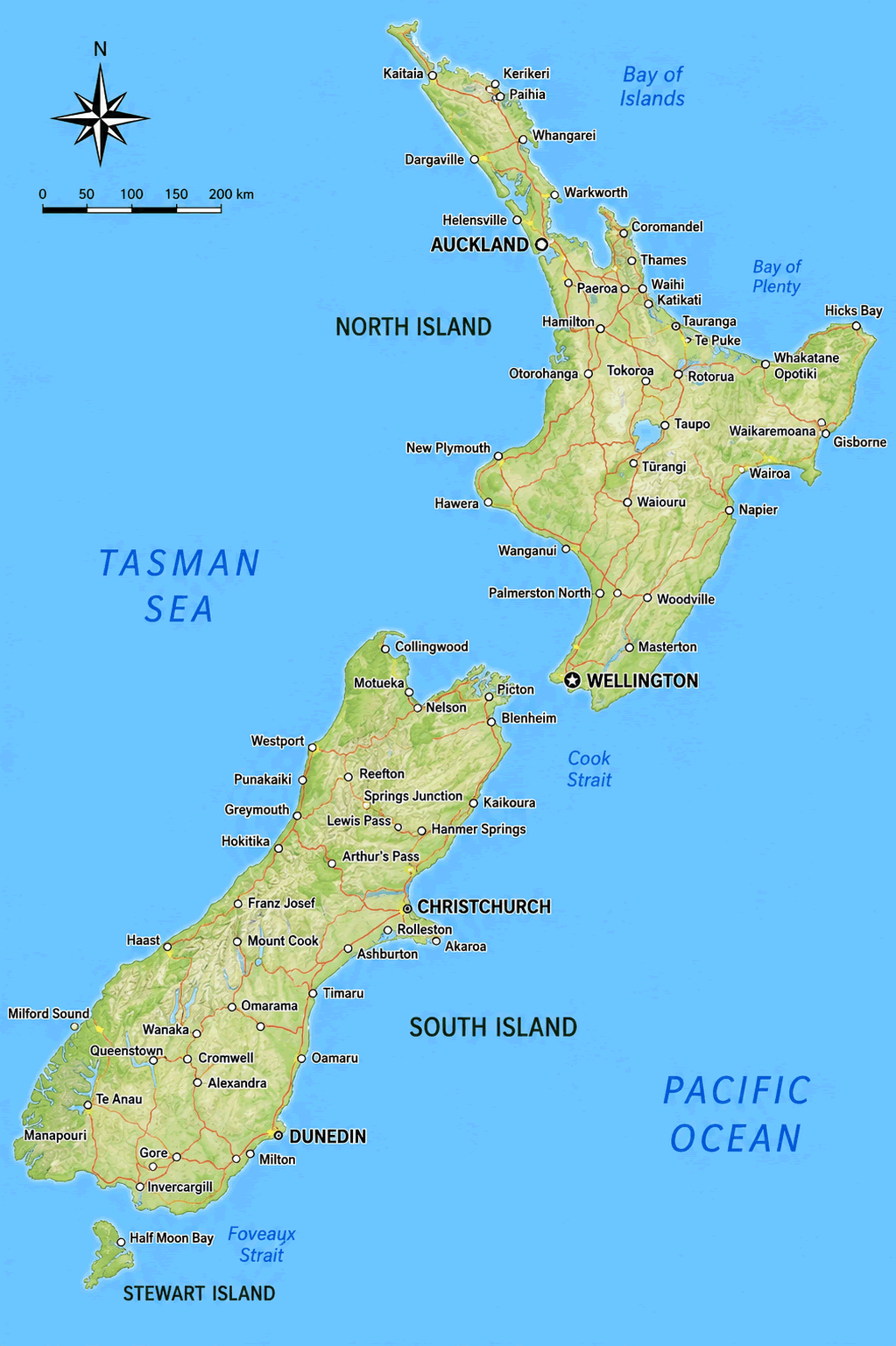
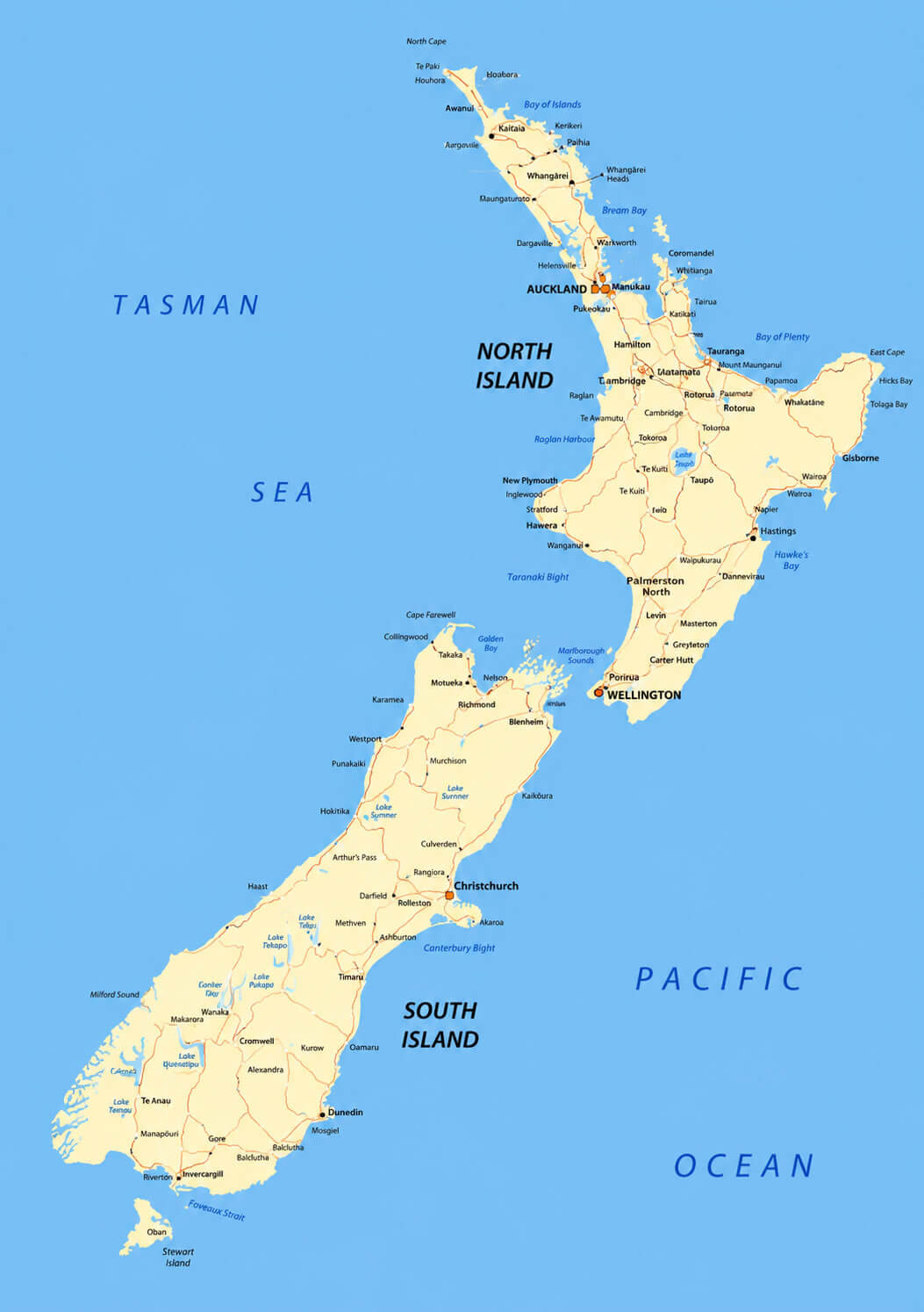
New Zealand road network map
New Zealand detailed geographic map
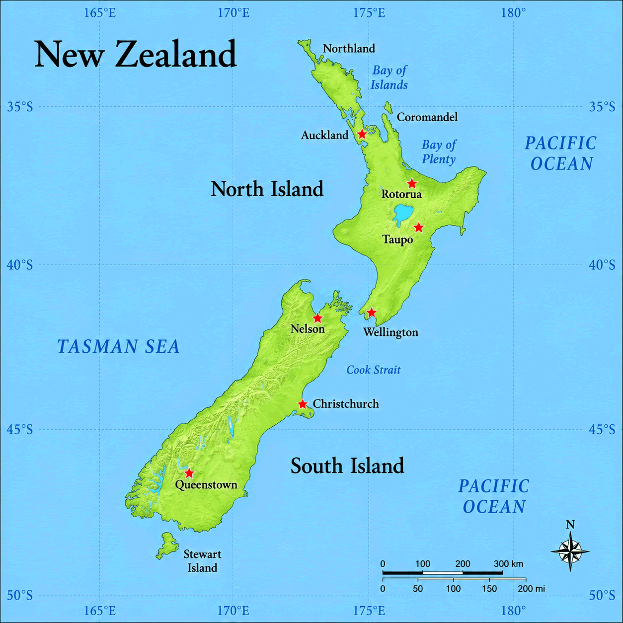
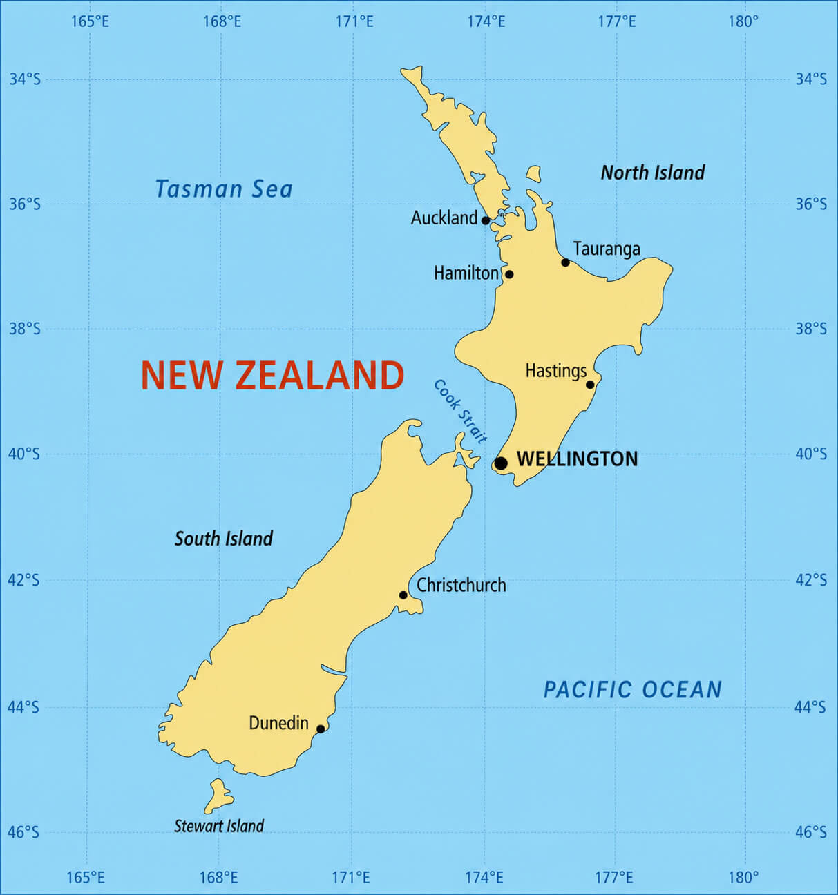
New Zealand location map in Australia region
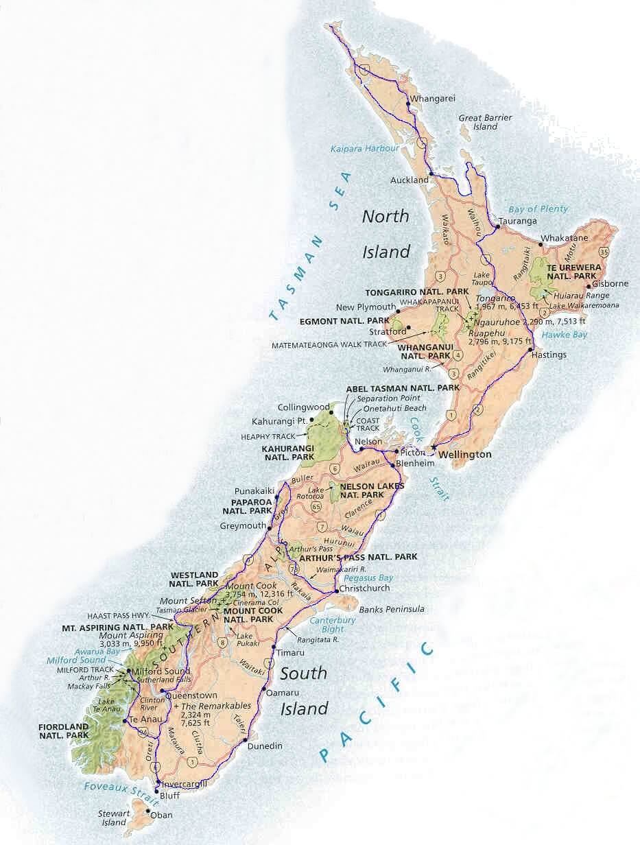
For those interested in New Zealand’s landscapes and infrastructure, this collection also provides a New Zealand detailed geographic map, New Zealand physical geography map, New Zealand topographic physical map, and a New Zealand satellite map, showcasing the country’s mountains, coastlines, and natural features in detail. Additional maps such as a New Zealand largest cities map, New Zealand road and route map, and New Zealand road network map offer valuable insights into urban centers, transportation systems, and travel routes. Whether you are planning a trip, studying New Zealand’s geography, or exploring its diverse regions, these maps serve as a complete and practical visual guide.
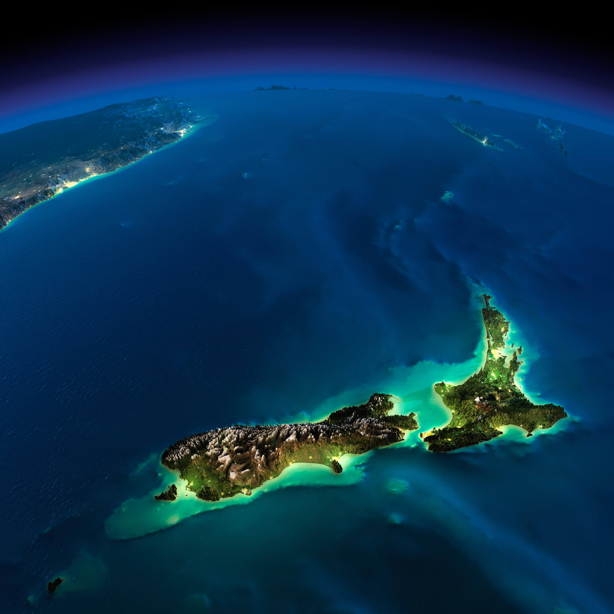
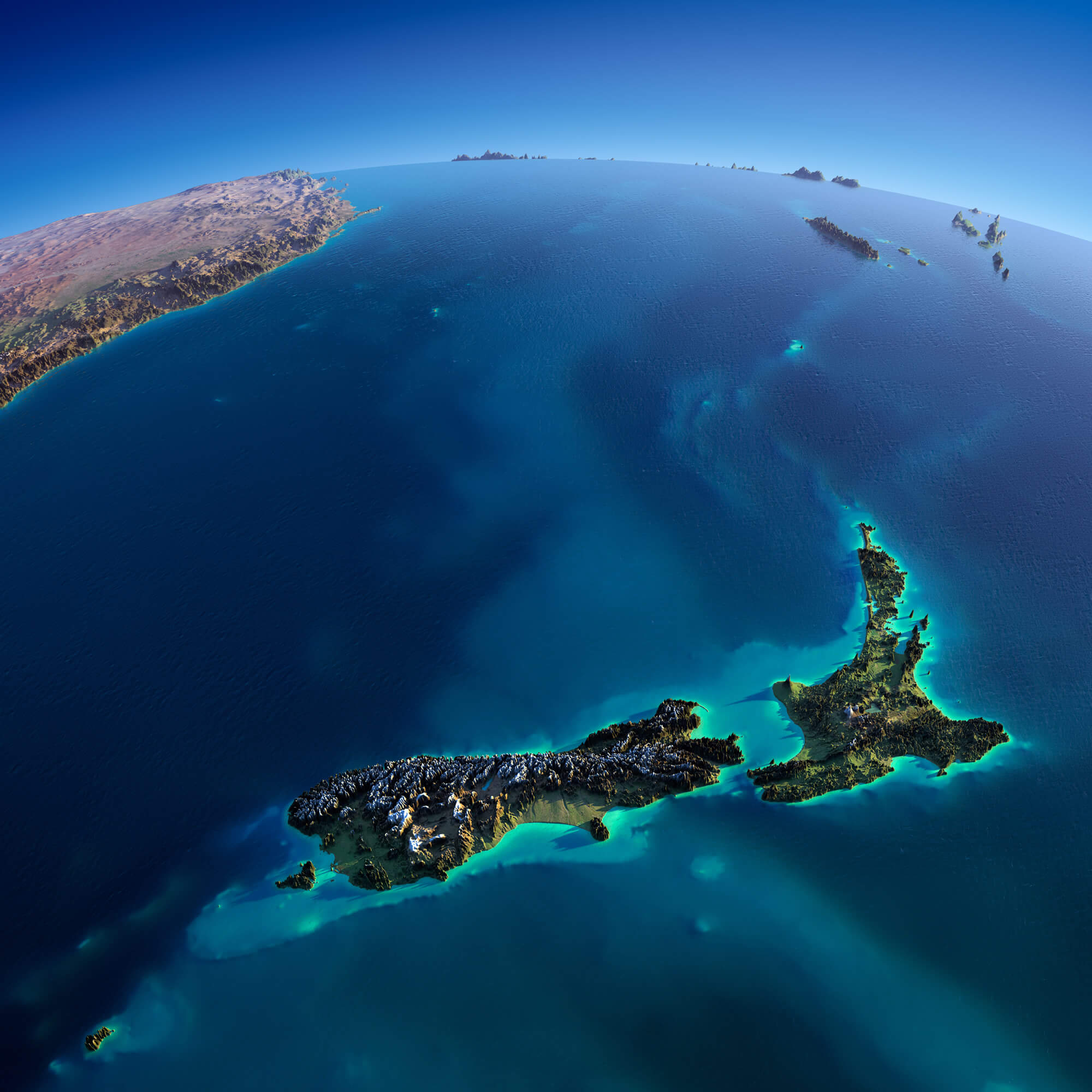
New Zealand and Australia satellite Earth view map
New Zealand topographic physical map
New Zealand satellite map
New Zealand administrative divisions map
For broader geographic context, the collection also features a New Zealand location map in the Australia region and a New Zealand and Australia satellite Earth view map, allowing users to explore New Zealand’s position within the South Pacific and its geographic relationship with Australia. Whether you are studying the country’s regional divisions, planning travel routes, or exploring its place within Oceania, these maps provide accurate and informative visual resources for a deeper understanding of New Zealand.
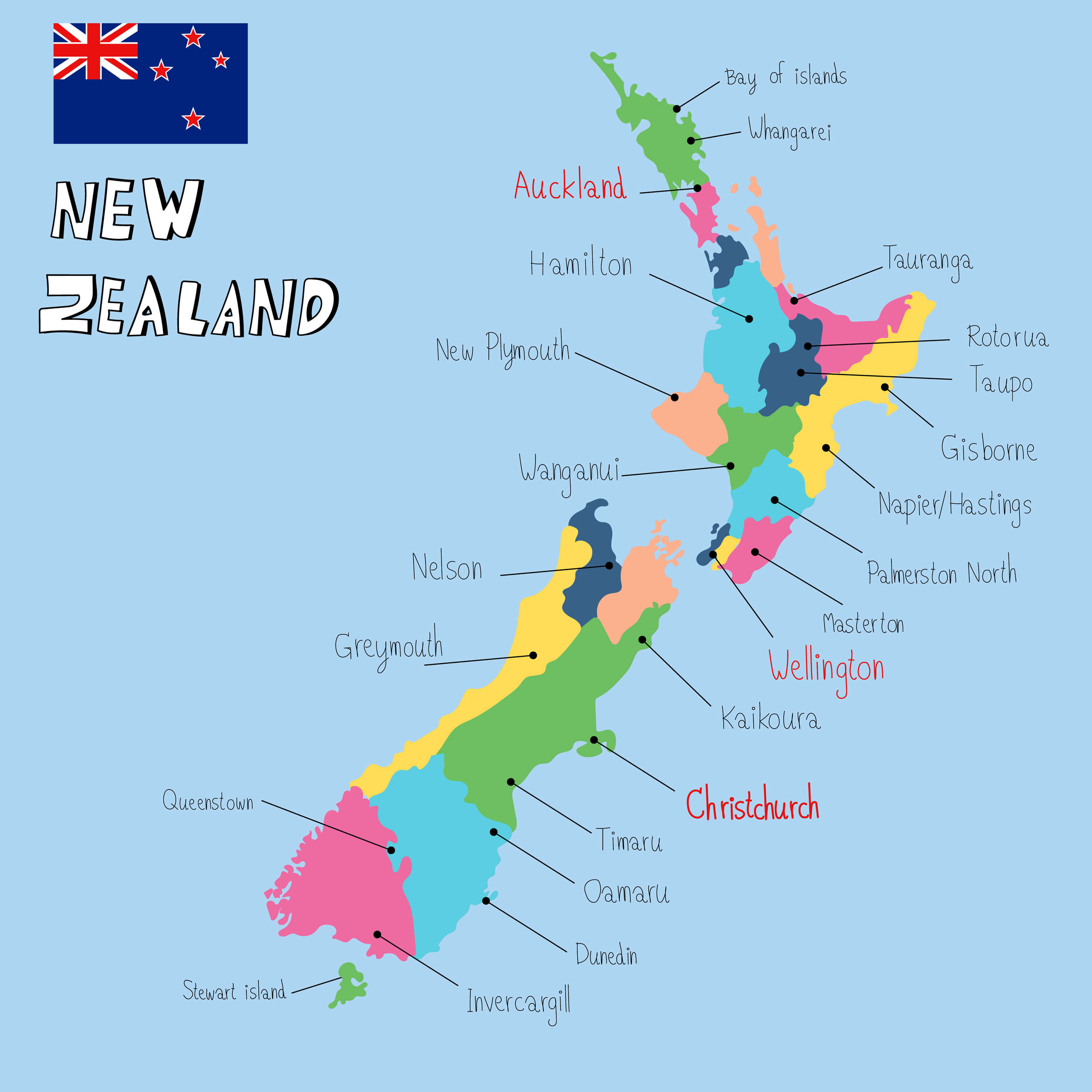
New Zealand largest cities map
New Zealand physical geography map
New Zealand political boundaries map
New Zealand provinces and regions map
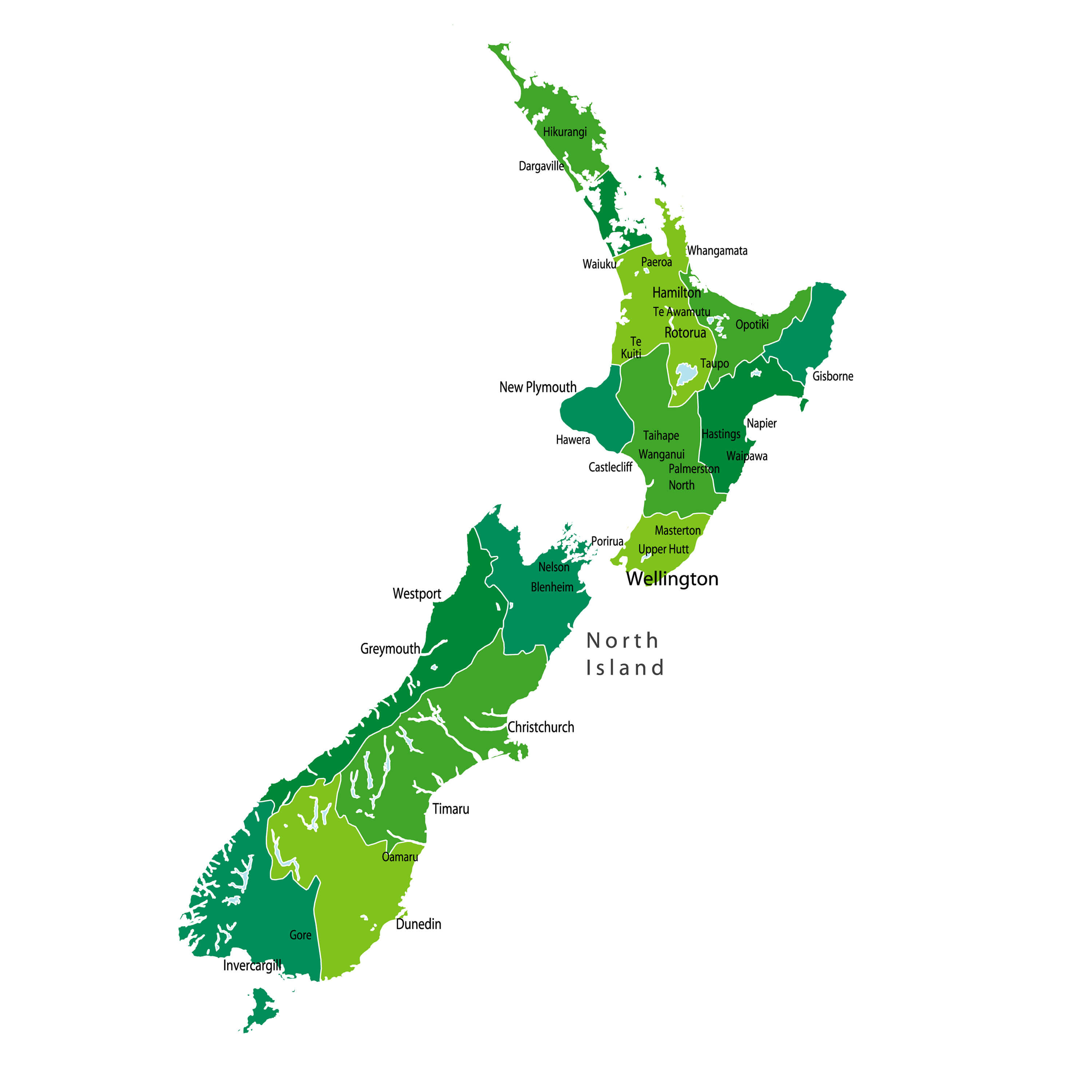
New Zealand regions and provinces map
New Zealand road and route map
Feel free to explore these pages as well:
- Head of Performance Marketing
- Head of SEO
- Linkedin Profile: linkedin.com/in/arifcagrici