Explore A Collection of New Zealand Maps for Geography, Cities and Regions
Discover our extensive New Zealand Maps Collection, offering a diverse range of maps that highlight the country’s geography, regions, cities, and natural landscapes. Whether you are planning a trip, studying geography, or conducting research, this collection provides valuable visual resources for understanding New Zealand in greater detail. Explore essential maps such as a New Zealand country reference map, New Zealand administrative regions map, New Zealand country map with major cities, and New Zealand major cities map, all designed to give users a clearer view of the nation’s political divisions, urban centers, and regional layout.
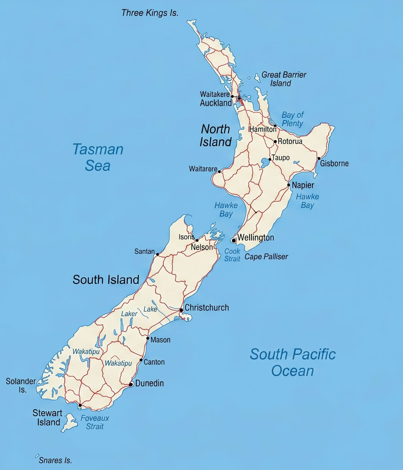
New Zealand detailed geographic map with Pacific Ocean
New Zealand road night lights map
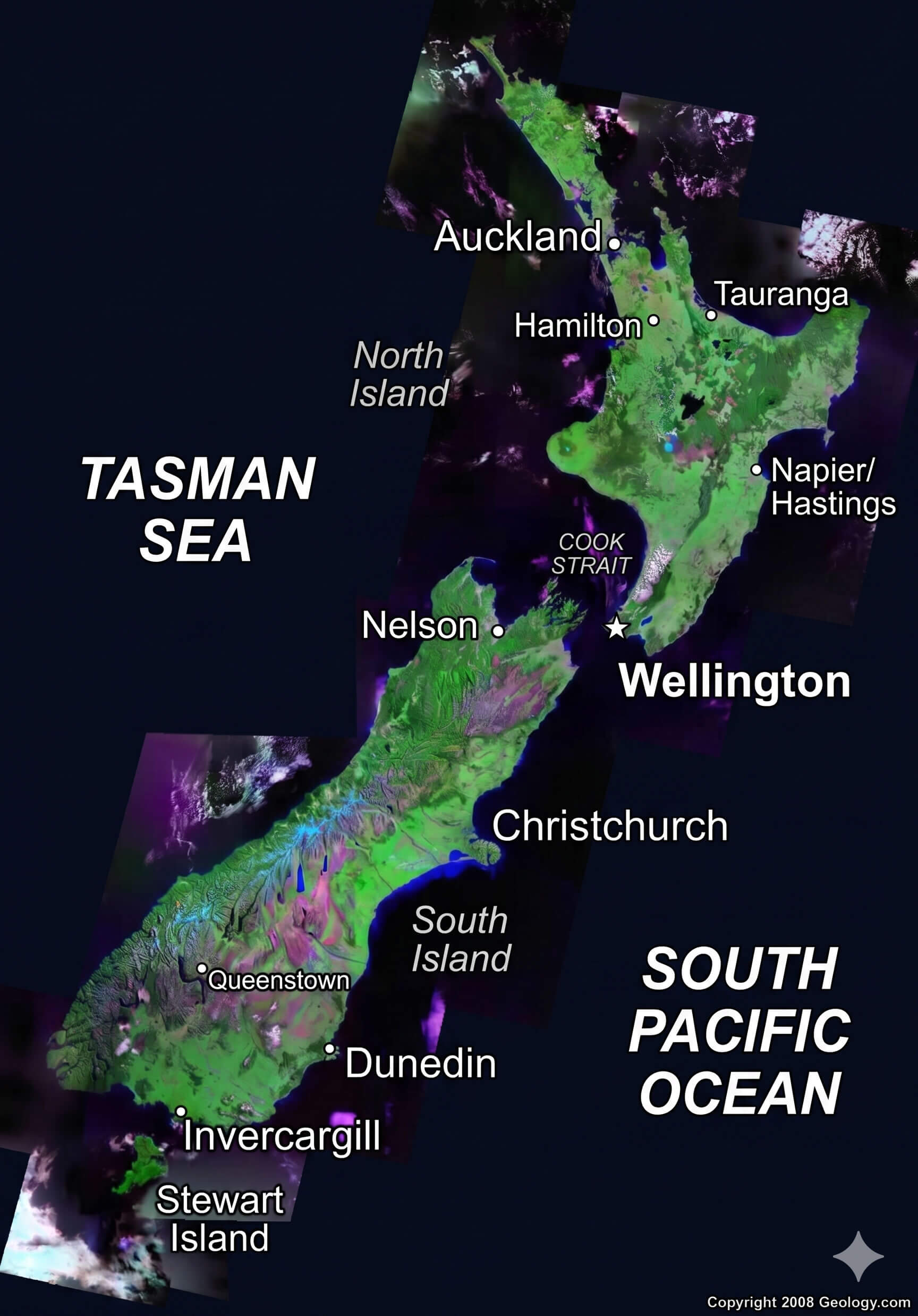
New Zealand physical relief map
For those interested in New Zealand’s natural landscapes and history, the collection also offers a New Zealand physical relief map, New Zealand climate and terrain map, New Zealand detailed geographic map with Pacific Ocean, and New Zealand relief and terrain map. Additional specialized maps such as a New Zealand political and cities map, New Zealand road and cities map, New Zealand road night lights map, and New Zealand Polynesian migration routes map provide valuable insights into the country’s infrastructure, political divisions, historical settlement patterns, and natural geography. Whether you are studying New Zealand’s geography, planning a trip, or exploring its diverse environments, these maps offer a complete visual guide to the country.
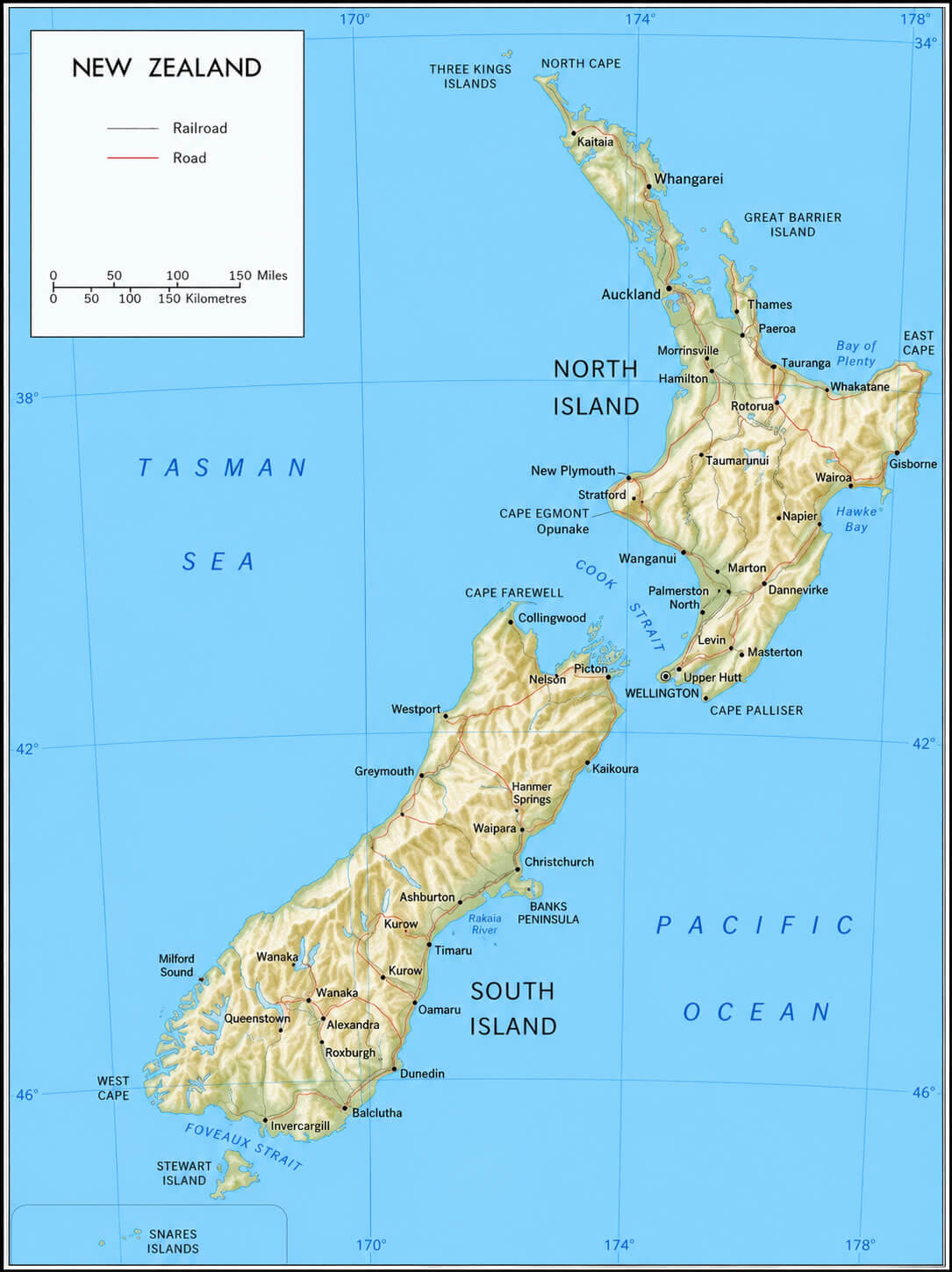
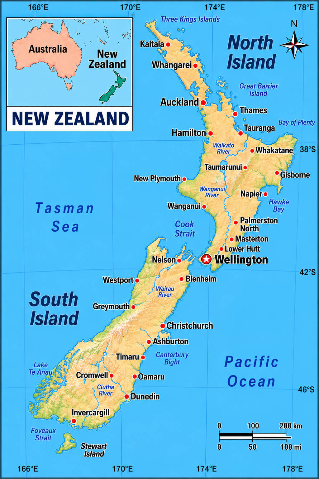
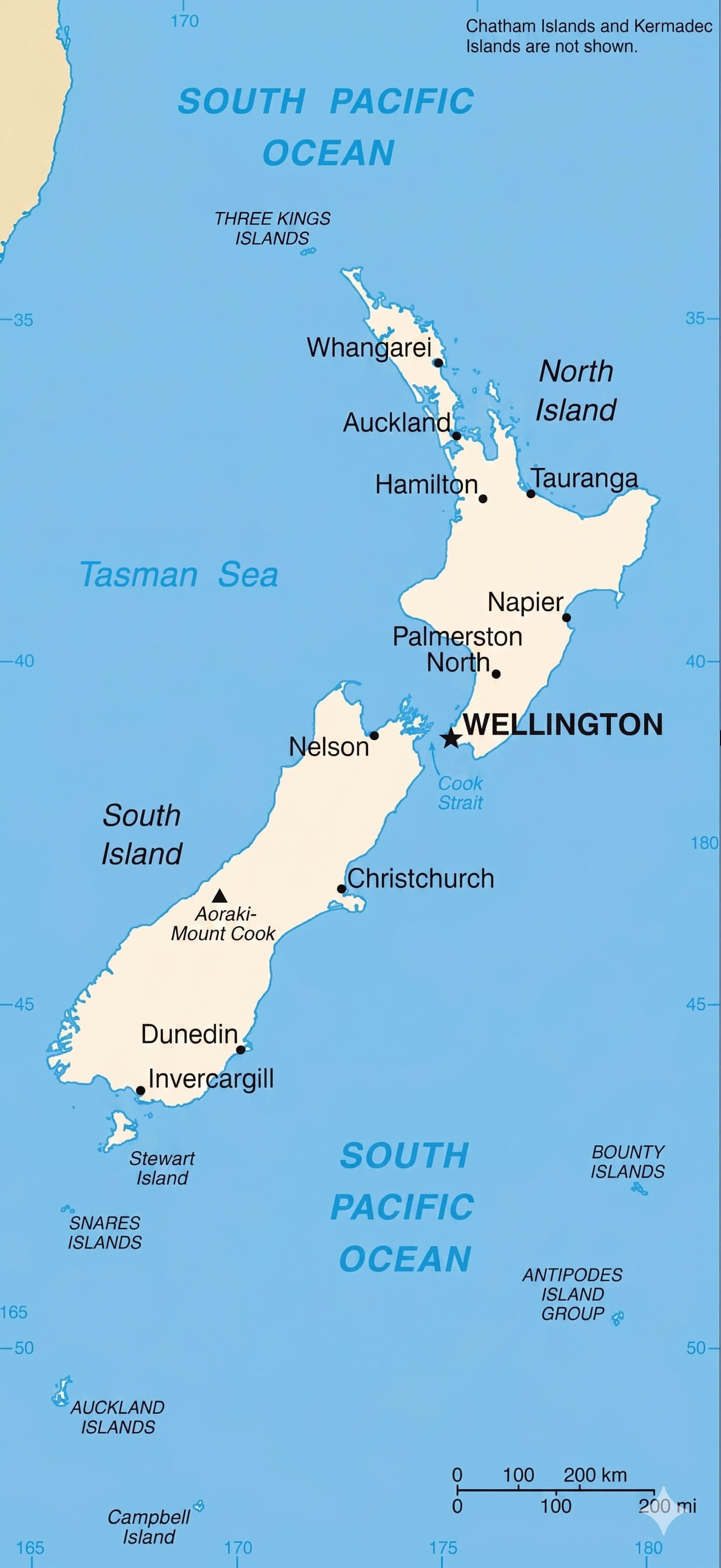
New Zealand country reference map
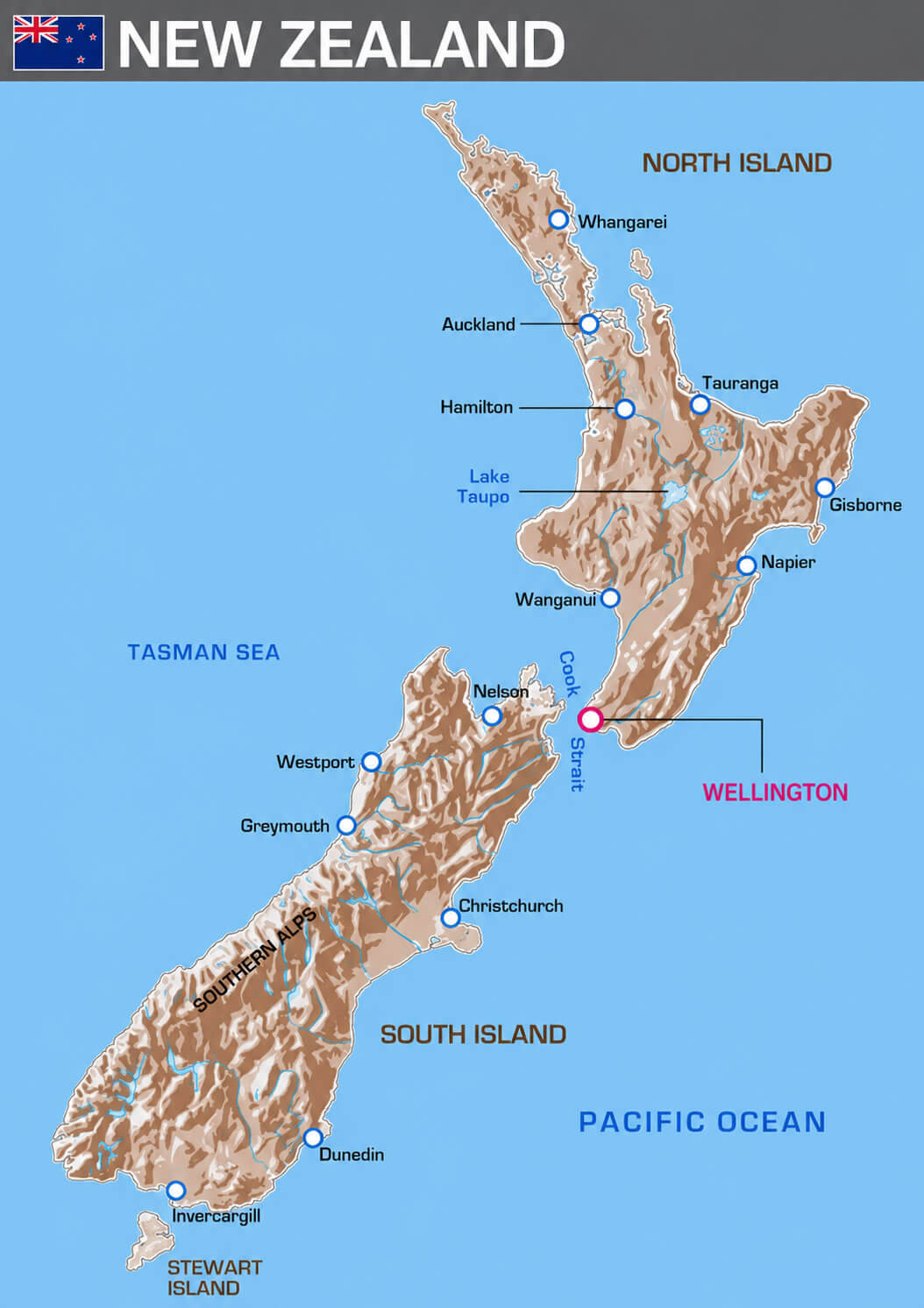
New Zealand political and cities map
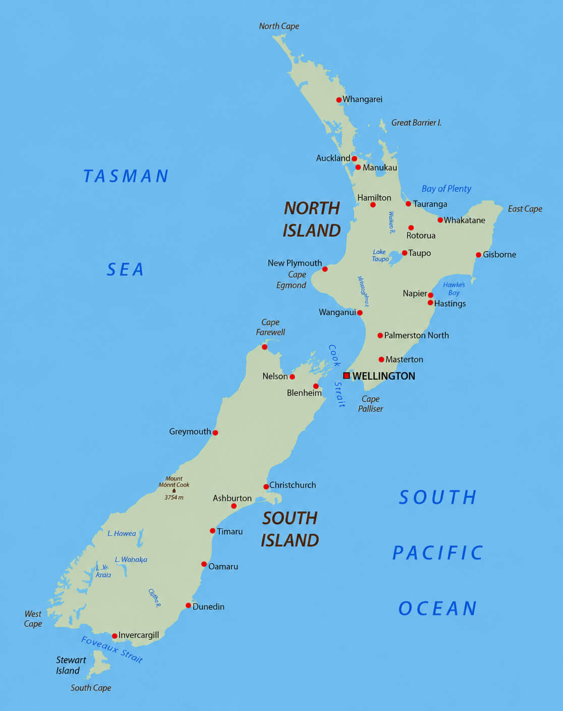
New Zealand major cities map
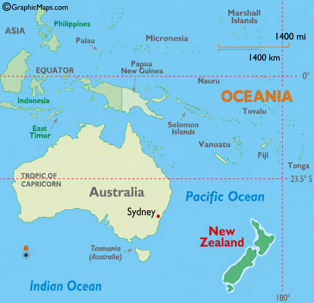
In addition to national and city maps, the collection also includes broader regional perspectives such as a New Zealand location in Oceania map with Australia, helping users better understand the country’s position in the South Pacific and its geographic relationship with nearby nations. These maps are ideal for travelers, students, educators, and map enthusiasts who want to explore New Zealand’s regional importance, natural beauty, and place within the wider Oceania region.
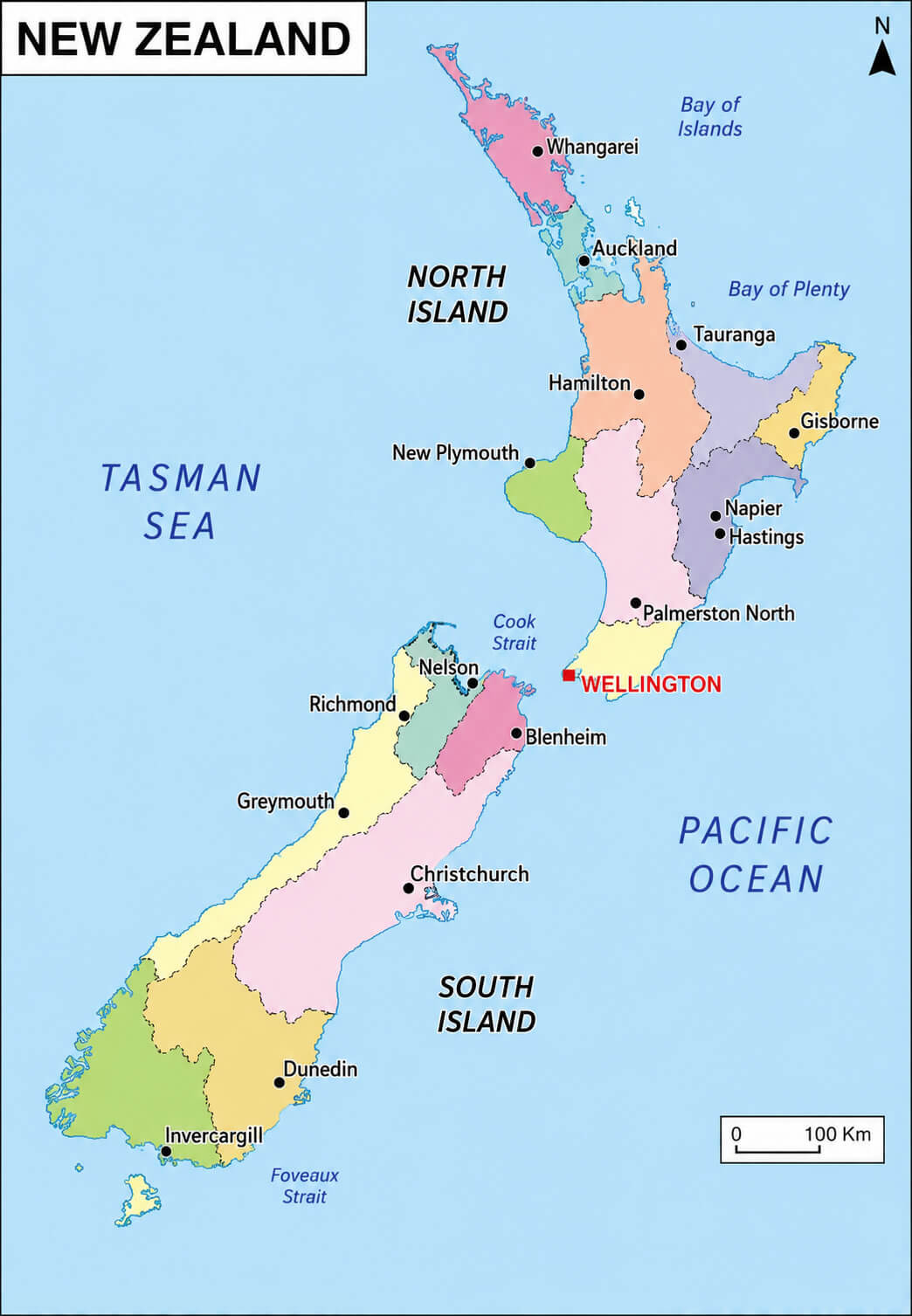
New Zealand administrative regions map
New Zealand climate and terrain map
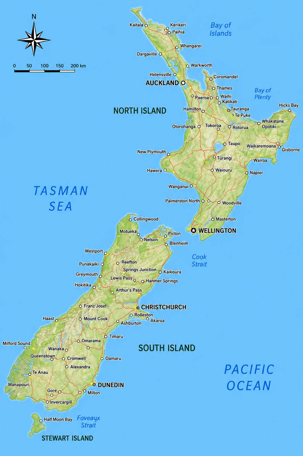
New Zealand country map with major cities
New Zealand location in Oceania map with Australia
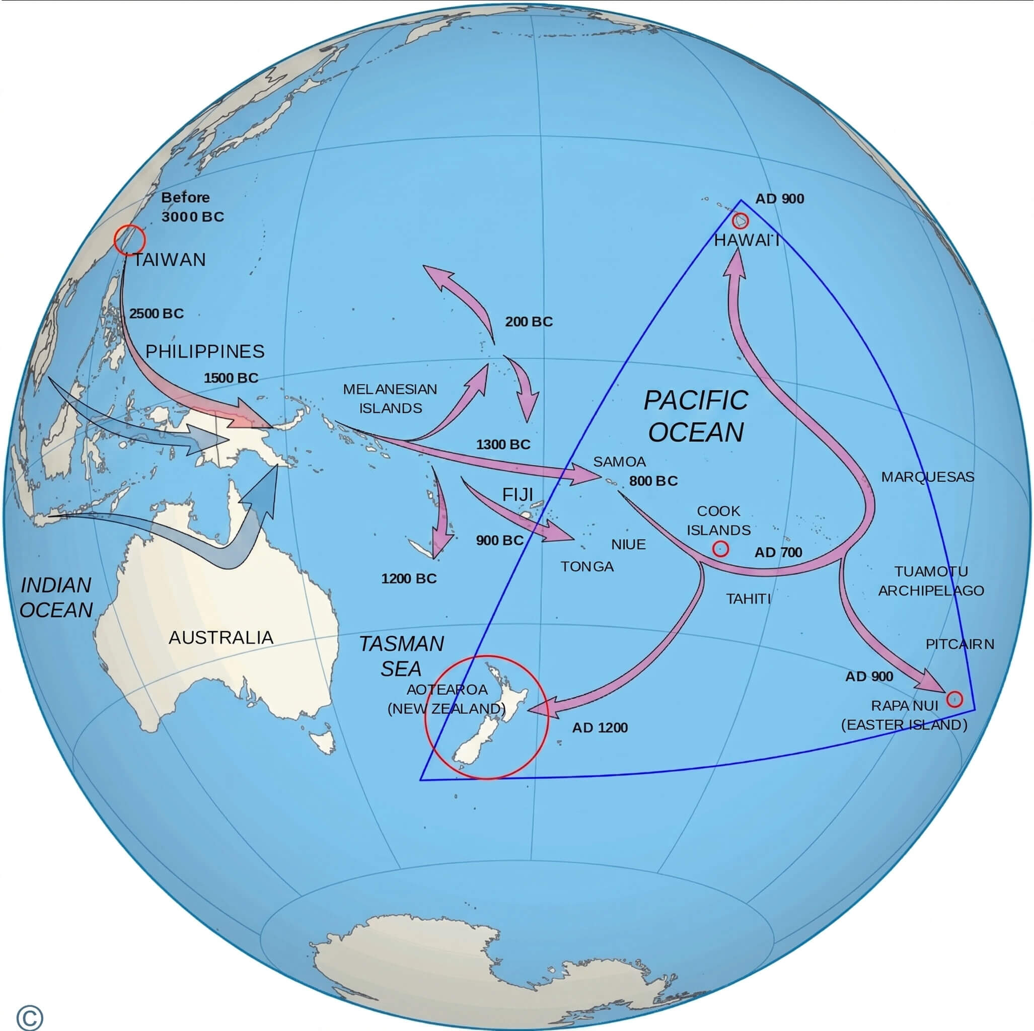
New Zealand Polynesian migration routes map
New Zealand relief and terrain map
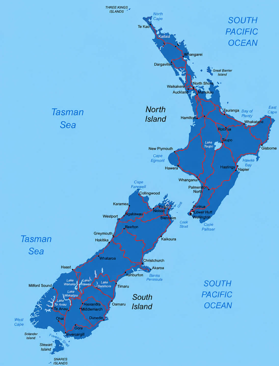
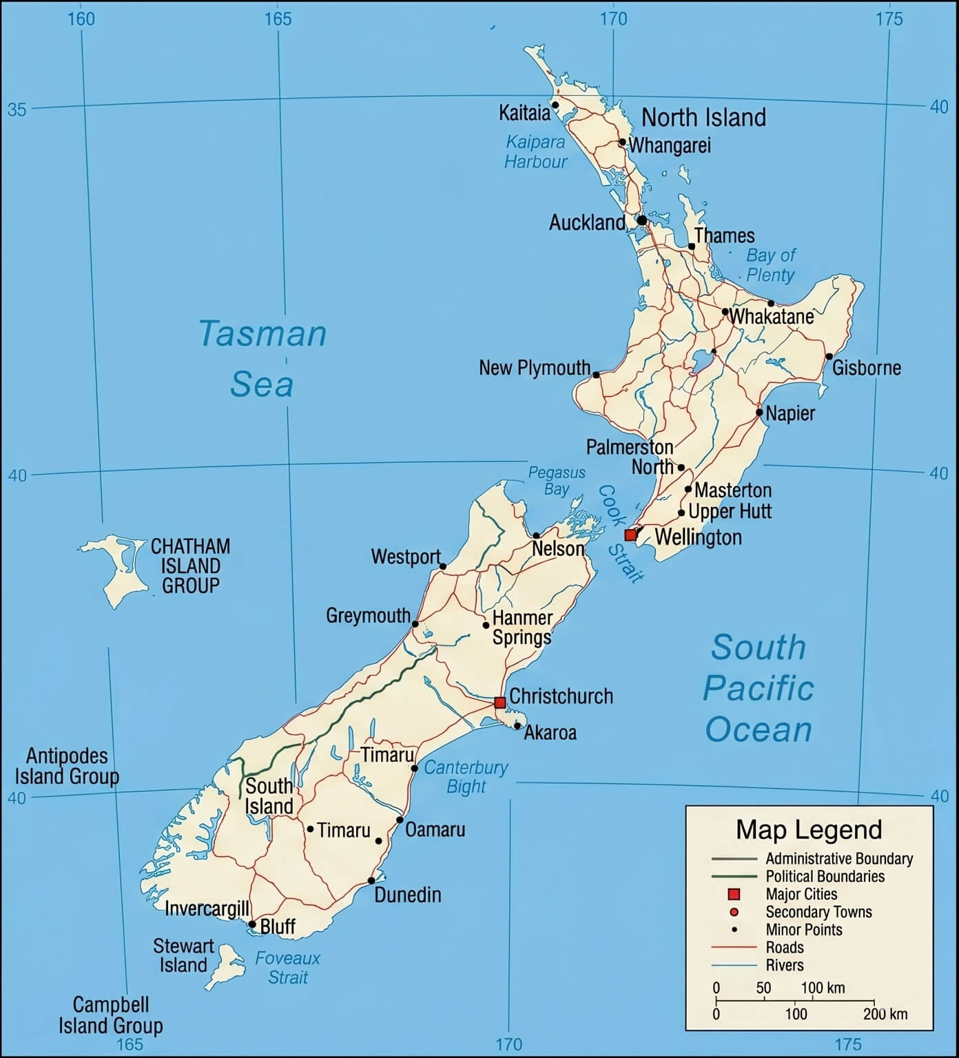
New Zealand road and cities map
Feel free to explore these pages as well:
- Head of Performance Marketing
- Head of SEO
- Linkedin Profile: linkedin.com/in/arifcagrici