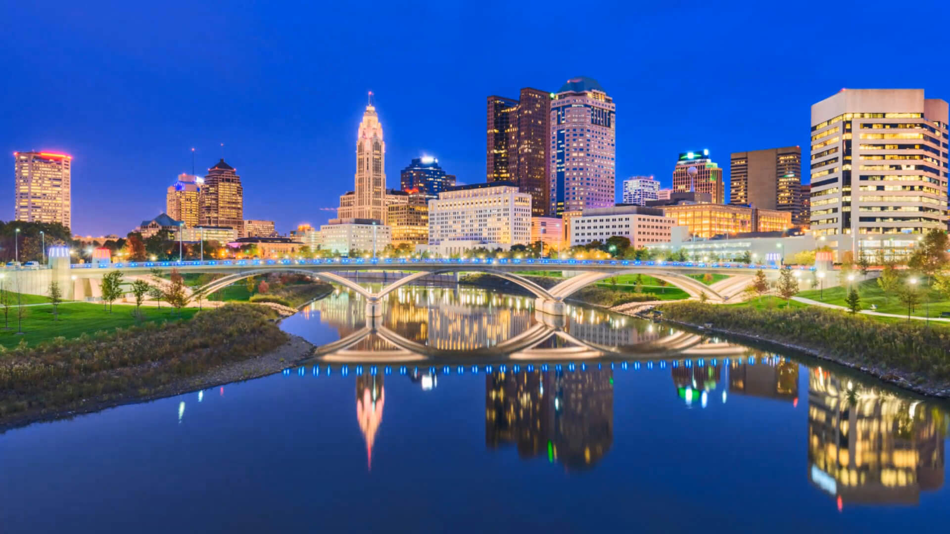
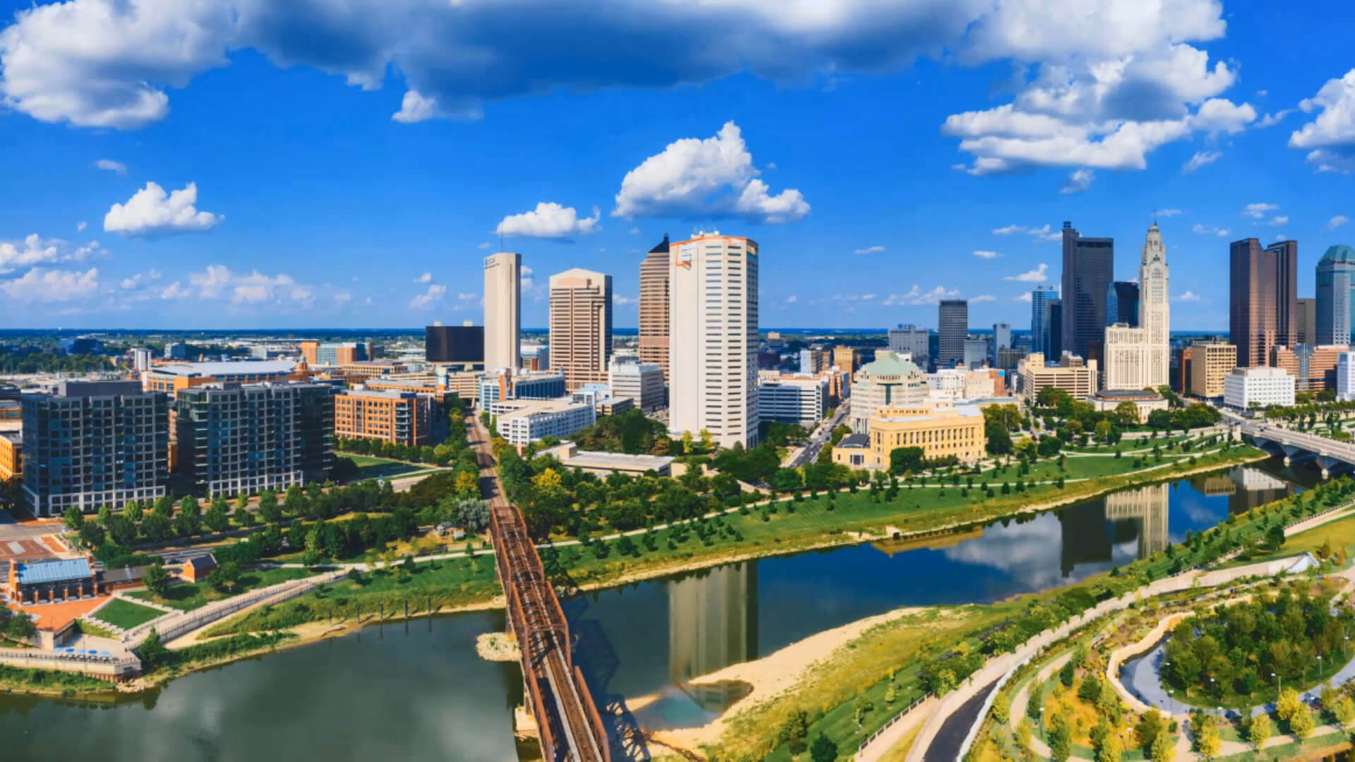
Columbus, Ohio
Columbus is the state capital and the most populous city of Ohio in the US. Its population estimated at 898,553 in 2019, Columbus is the 14th-most populous city in the USA, the second-most populous city in the Midwest after Chicago, and the third-most populous state capital.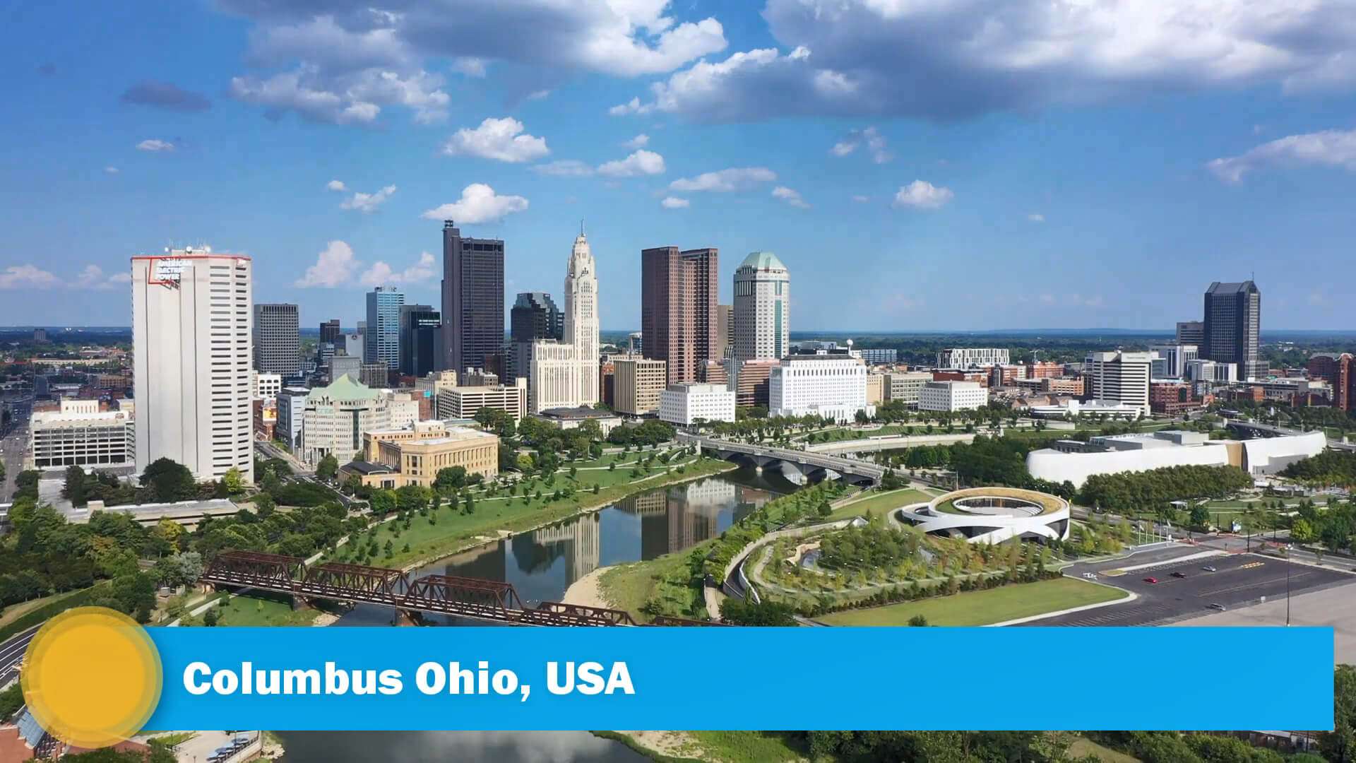
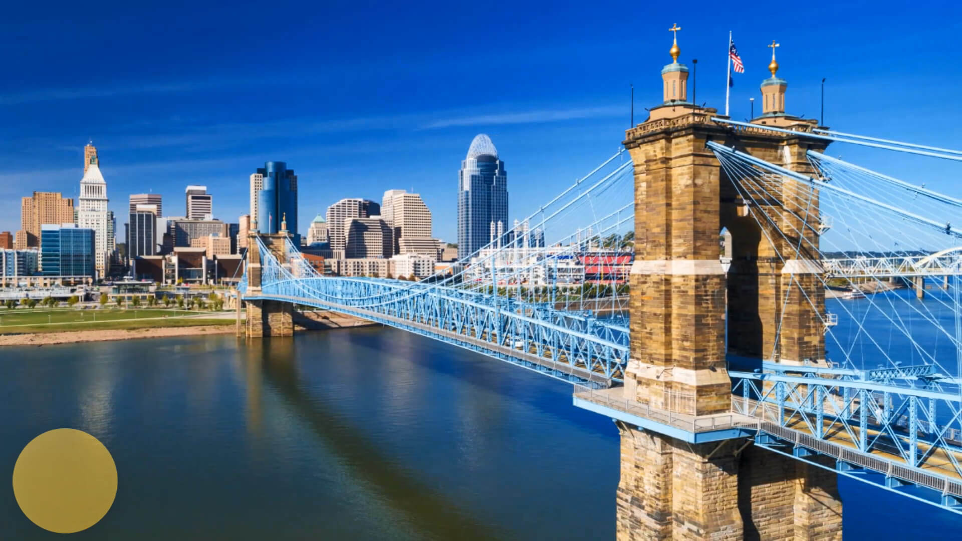
Columbus, Cincinnati, and Cleveland, Ohio - US 4K Drone Footage
Please subscribe on "World Guide" channnel on Youtube at youtube.com/c/WorldGuide
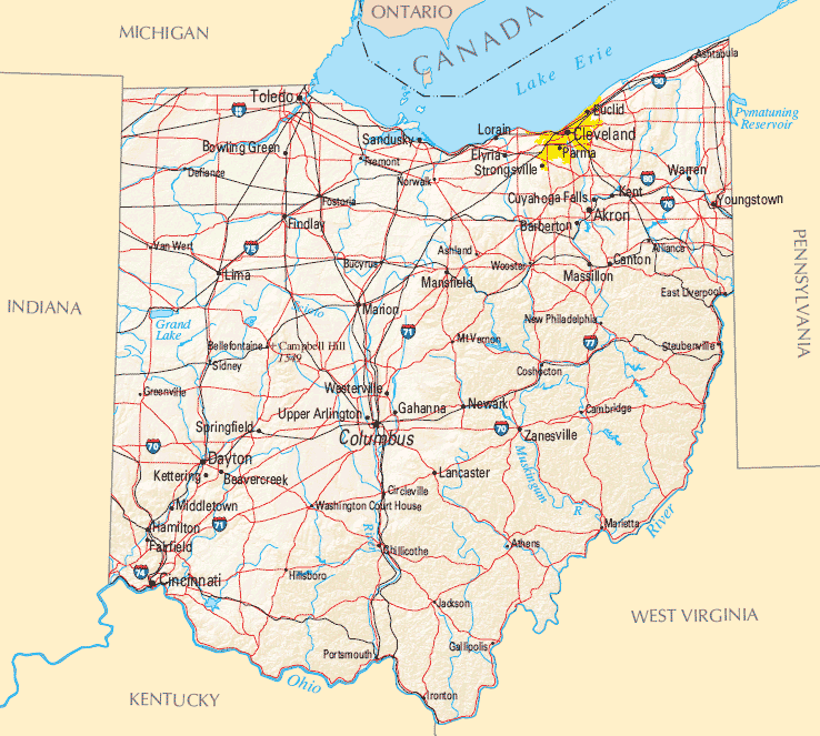
Columbus is the county seat of Franklin County; it also extends into Delaware and Fairfield counties. It is the core city of the Columbus, OH Metropolitan Statistical Area, which encompasses ten counties. With a 2019 estimated population of 2,122,271, it is the largest metropolitan area entirely in Ohio.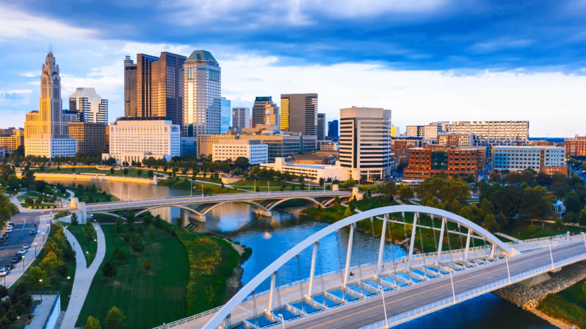
US State of Ohio and Largest Cities 4K Drone Footage
Columbus Ohio United States of America
Geography
 Several smaller tributaries course through the Columbus metropolitan area, including Alum Creek, Big Walnut Creek, and Darby Creek. Columbus is considered to have relatively flat topography thanks to a large glacier that covered most of Ohio during the Wisconsin Ice Age. However, there are sizable differences in elevation through the area, with the high point of Franklin County being 1,132 ft (345 m) above sea level near New Albany, and the low point being 670 ft (200 m) where the Scioto River leaves the county near Lockbourne.
 Where is Located Columbus in Ohio
Area
- Total : 225.08 sq mi (582.94 km2)
- Land : 219.22 sq mi (567.77 km2)
- Water : 5.86 sq mi (15.17 km2)
- Area Rank :
Elevation :
- Highest Elevation : 902 ft (275 m)
- Lowest Elevation :
Time Zone
- UTC : UTC-5 (EST)
- ZIP Codes : 614, 380, 740, 220
- Calling Code : +
- Latitude :
- Longitude :
- Driving Side:
Government
- Country : United States
- State : Ohio
- County : Delaware, Fairfield, Franklin
- Capital :
- Largest Metro :
- Anthem :
- Motto(s) : Progress & Prosperity
- Major : Andrew J. Ginther
- Lieutenant Governor :
- Website : www.columbus.gov
Climate
 The city's climate is humid continental transitional with the humid subtropical climate to the south characterized by warm, muggy summers and cold, dry winters. Columbus is within USDA hardiness zone 6a. Winter snowfall is relatively light, since the city is not in the typical path of strong winter lows, such as the Nor'easters that strike cities farther east. It is also too far south and west for lake-effect snow from Lake Erie to have much effect, although the lakes to the North contribute to long stretches of cloudy spells in winter.
The highest temperature recorded in Columbus was 106 °F (41 °C), which occurred twice during the Dust Bowl of the 1930s—once on July 21, 1934, and again on July 14, 1936. The lowest recorded temperature was -22 °F (-30 °C), occurring on January 19, 1994.
Demographics
Population
- Population : 787,033
- Metro Population : 2,078,725 (US: 32nd)
- Population Rank in the US :
- Density : 4,098.92/sq mi (1,582.60/km2)
- Density Rank :
- Official Languages :
- Spoken Languages :
- Rank US: 14th
Economy
 Columbus has a generally strong and diverse economy based on education, insurance, banking, fashion, defense, aviation, food, logistics, steel, energy, medical research, health care, hospitality, retail, and technology. In 2010, it was one of the 10 best big cities in the country, according to Relocate America, a real estate research firm.
 According to the Federal Reserve of St. Louis, the GDP of Columbus in 2019 was $134 billion.
- Currency :
- GDP : 175 billion USD
- Unemployment Rate:
- Median Household Income :
- Income Rank :
Top 10 Largest Cities in Ohio by population
- Columbus Map - 787,033 - (39.961,-82.999)
- Cleveland Map - 396,815 - (41.499,-81.695)
- Cincinnati Map - 296,943 - (39.162,-84.457)
- Toledo Map - 287,208 - (41.664,-83.555)
- Akron Map - 199,110 - (41.081,-81.519)
- Dayton Map - 141,527 - (39.759,-84.192)
- Parma Map - 81,601 - (41.405,-81.723)
- Canton Map - 73,007 - (40.799,-81.378)
- Youngstown Map - 66,982 - (41.1,-80.65)
- Lorain Map - 64,097 - (41.453,-82.182)
Colleges and Universities in Columbus
- Capital University
- Ohio State University
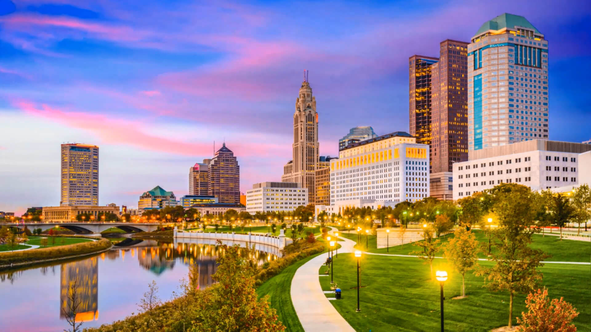
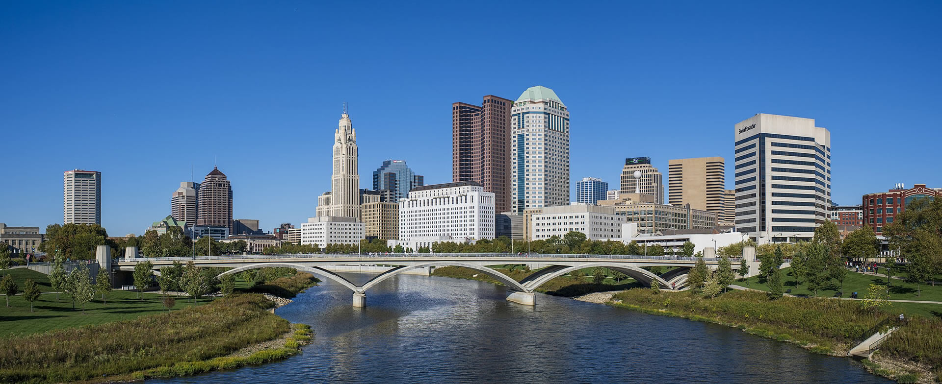
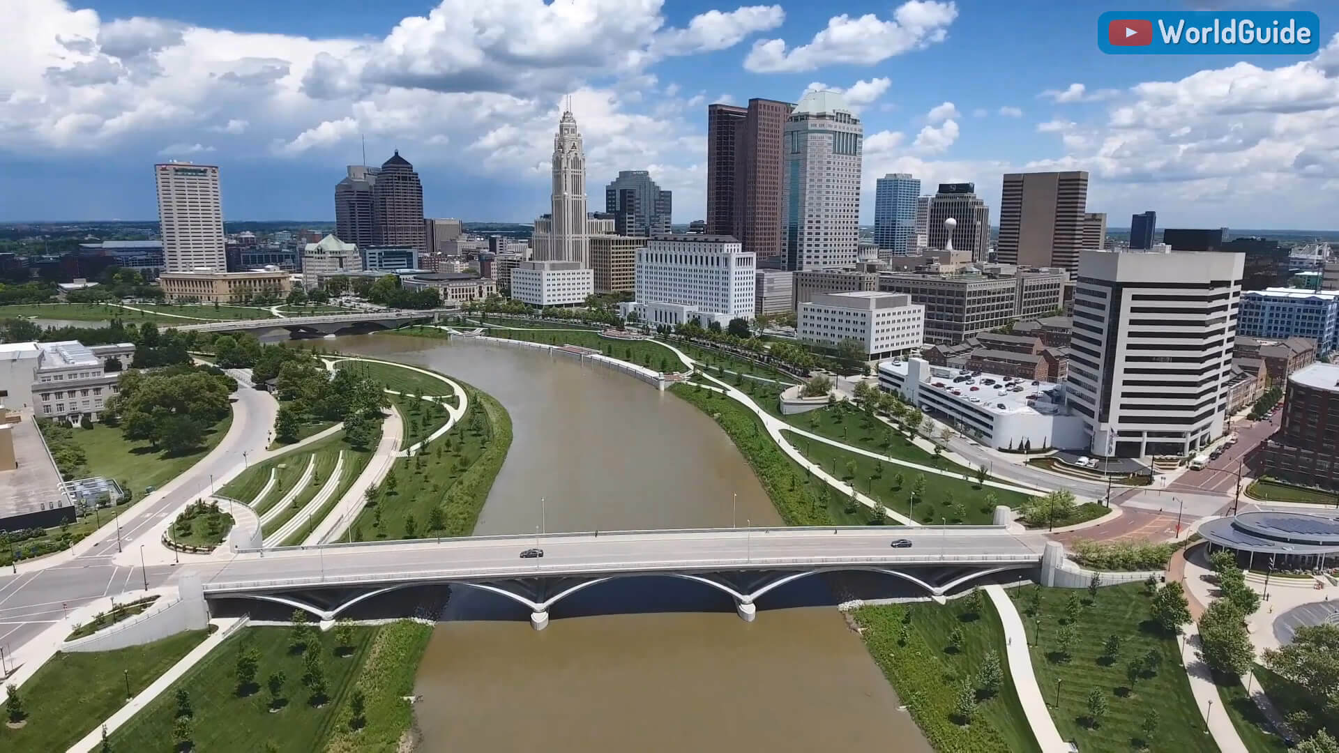
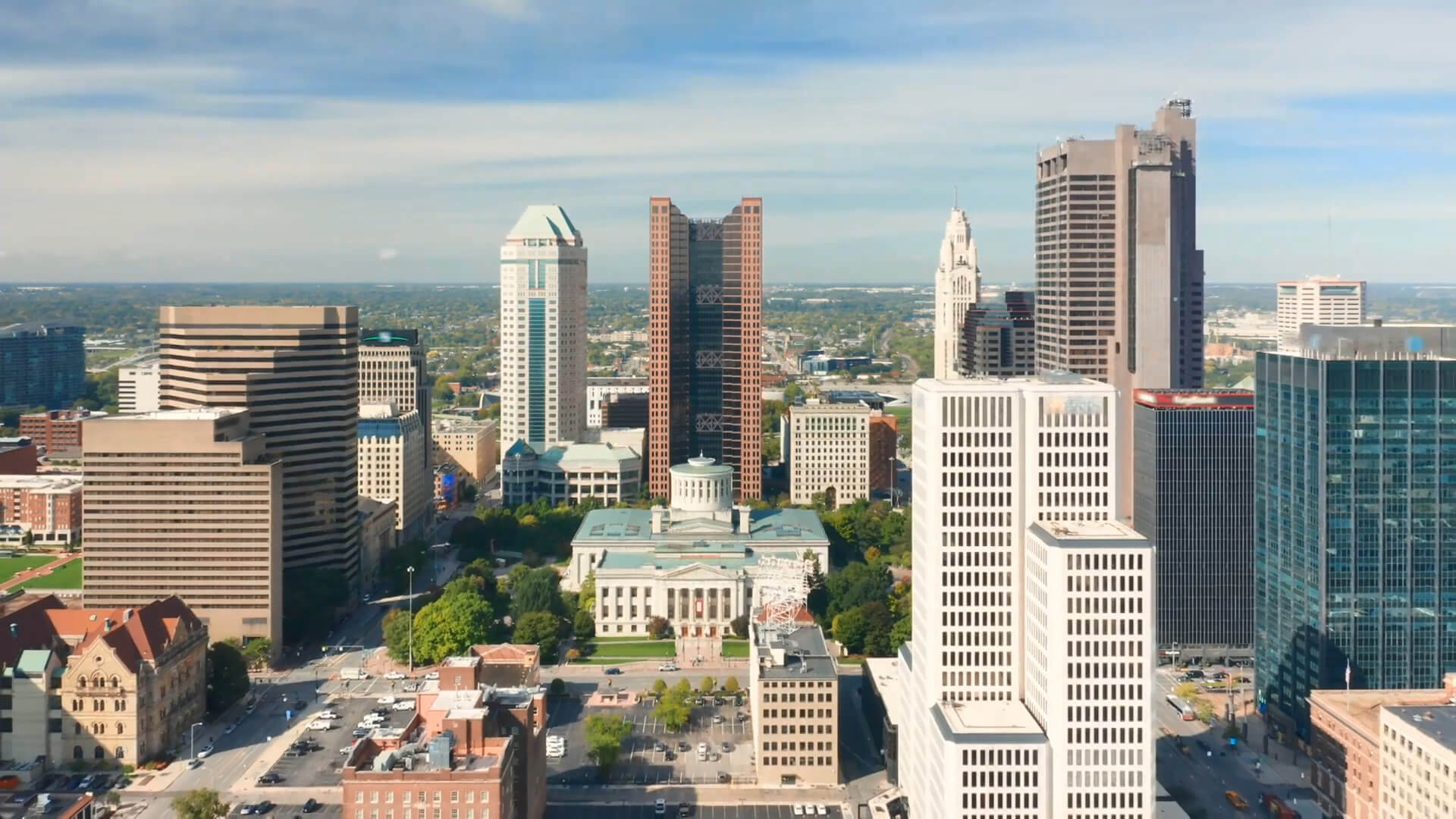
Columbus Images & Maps
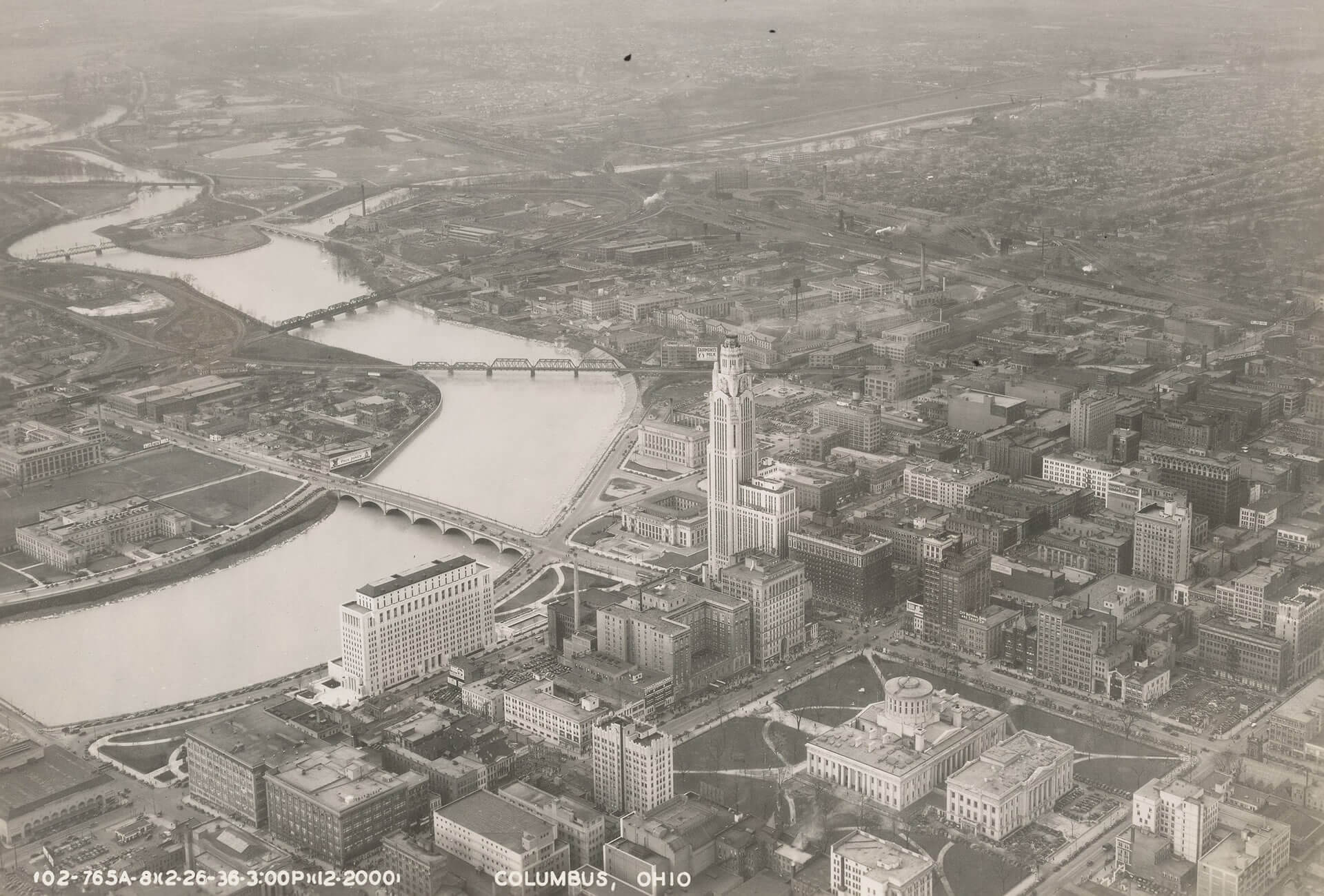
Columbus in 1936
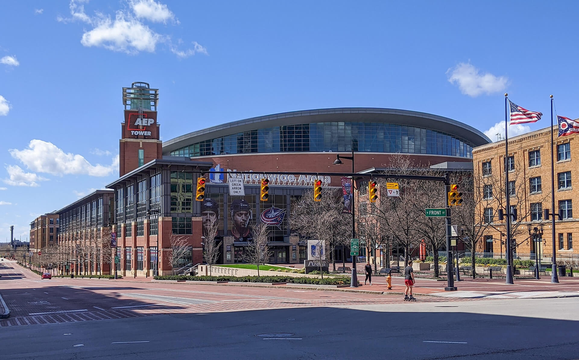
Nationwide Arena, Home of the NHL's Columbus Blue Jackets
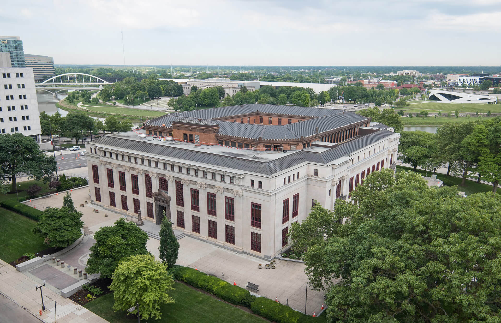
Columbus City Hall Ohio
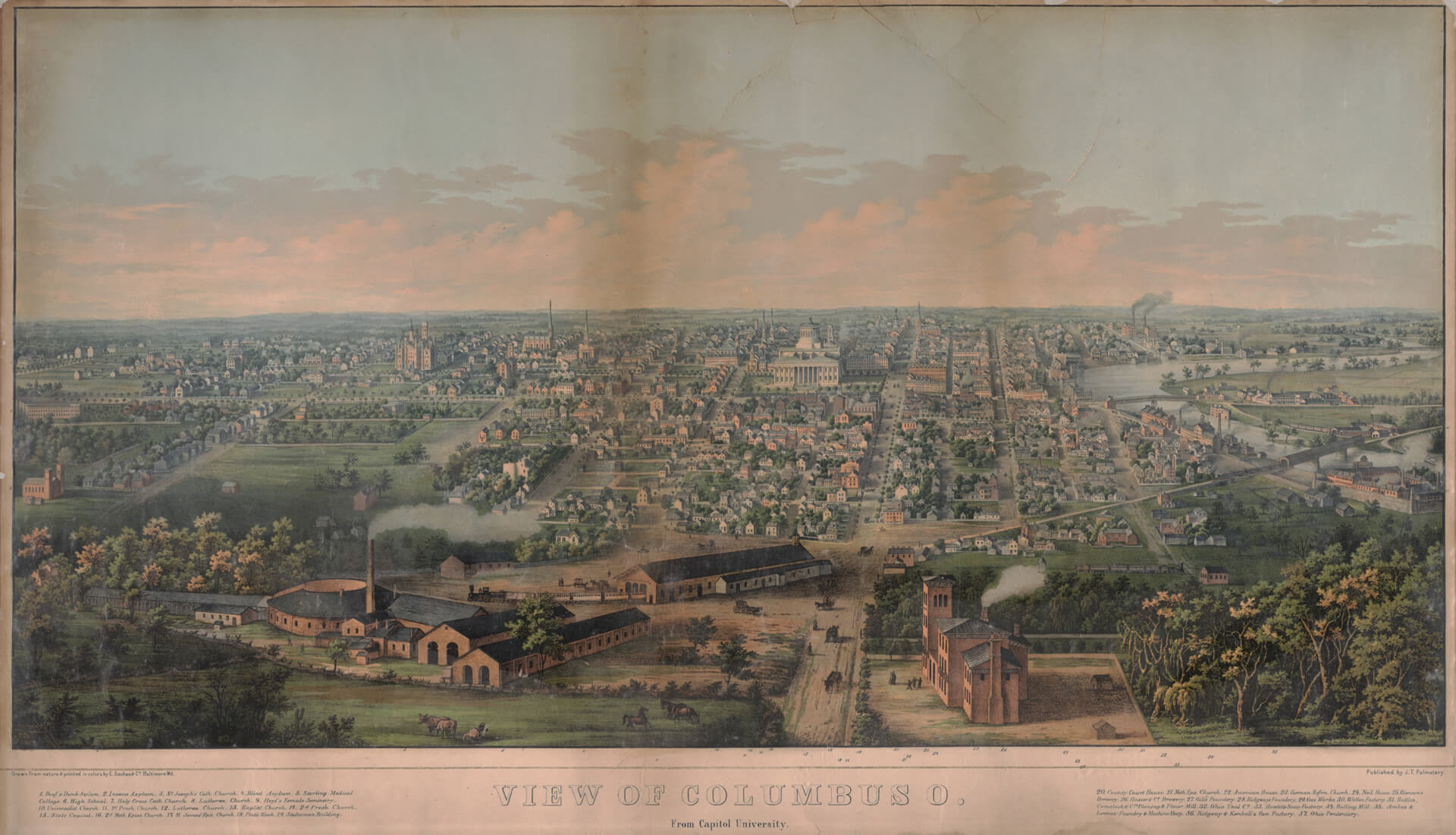
View of the city from Capital University in 1854
Columbus City of Ohio

Rendered image of the Ohio Statehouse in Columbus
Ohio US Thumbnail
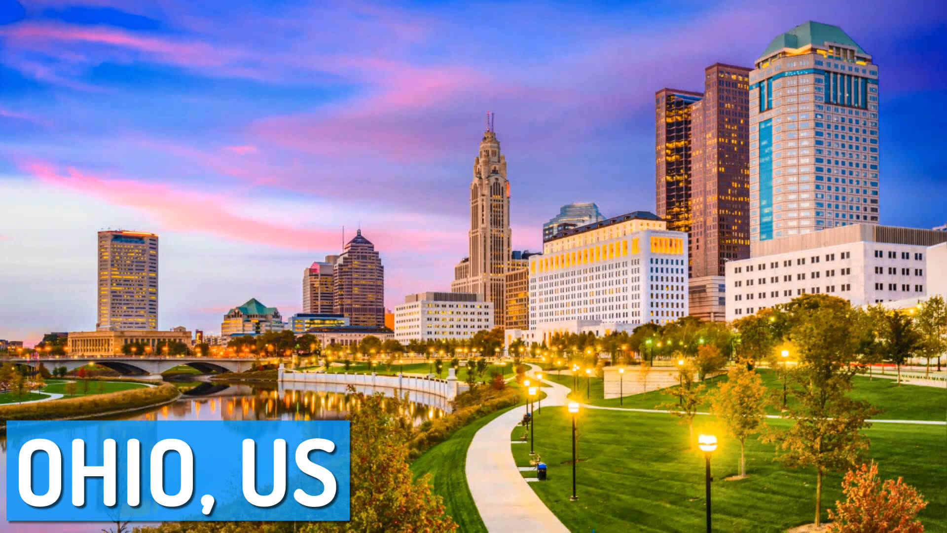
Columbus Ohio
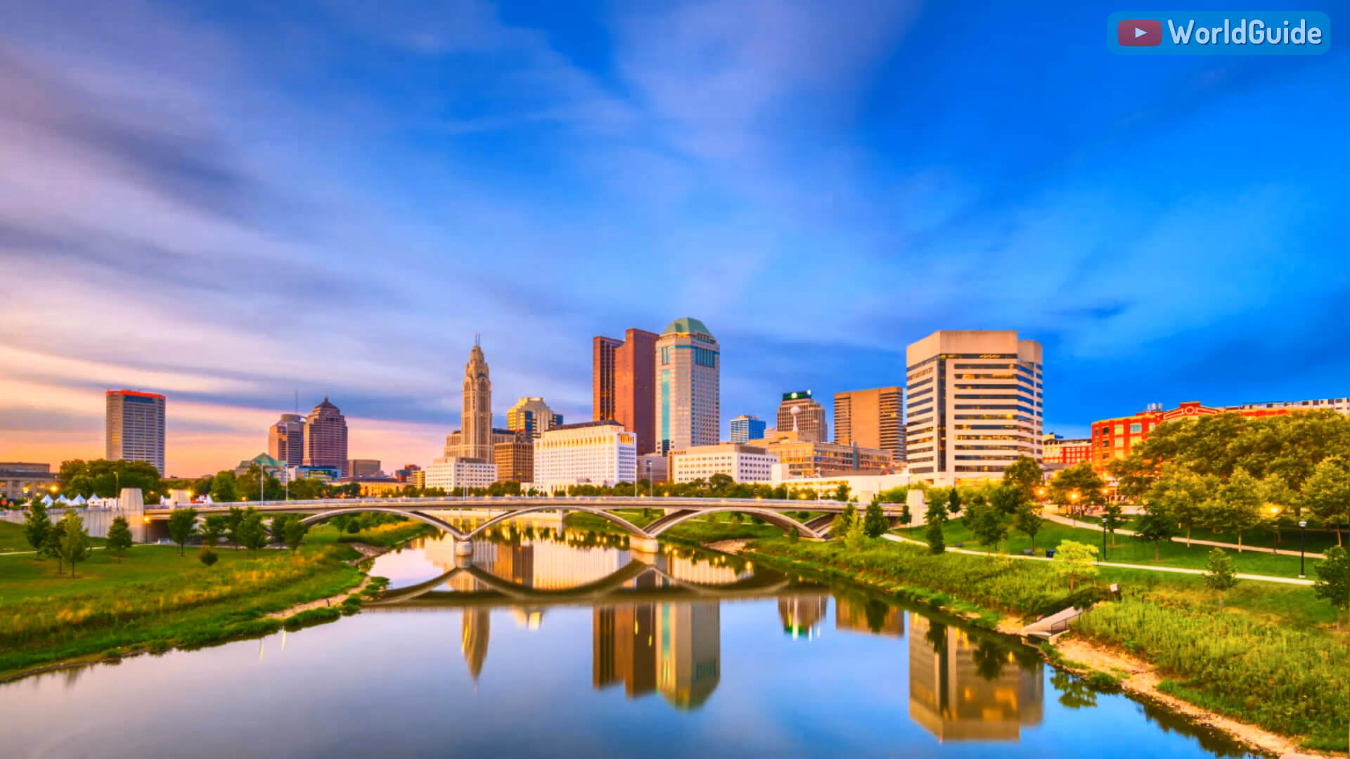
Columbus Ohio USA
Columbus Ohio
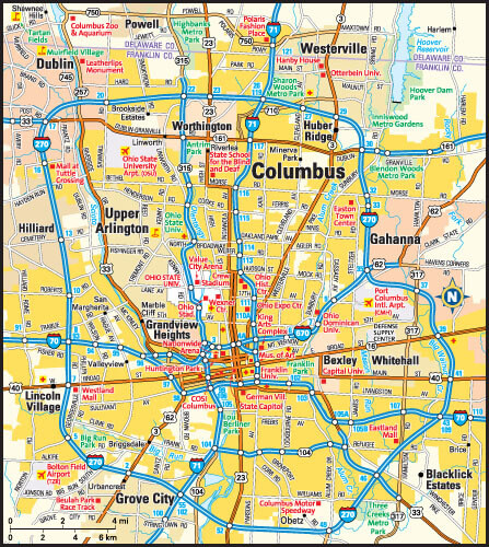
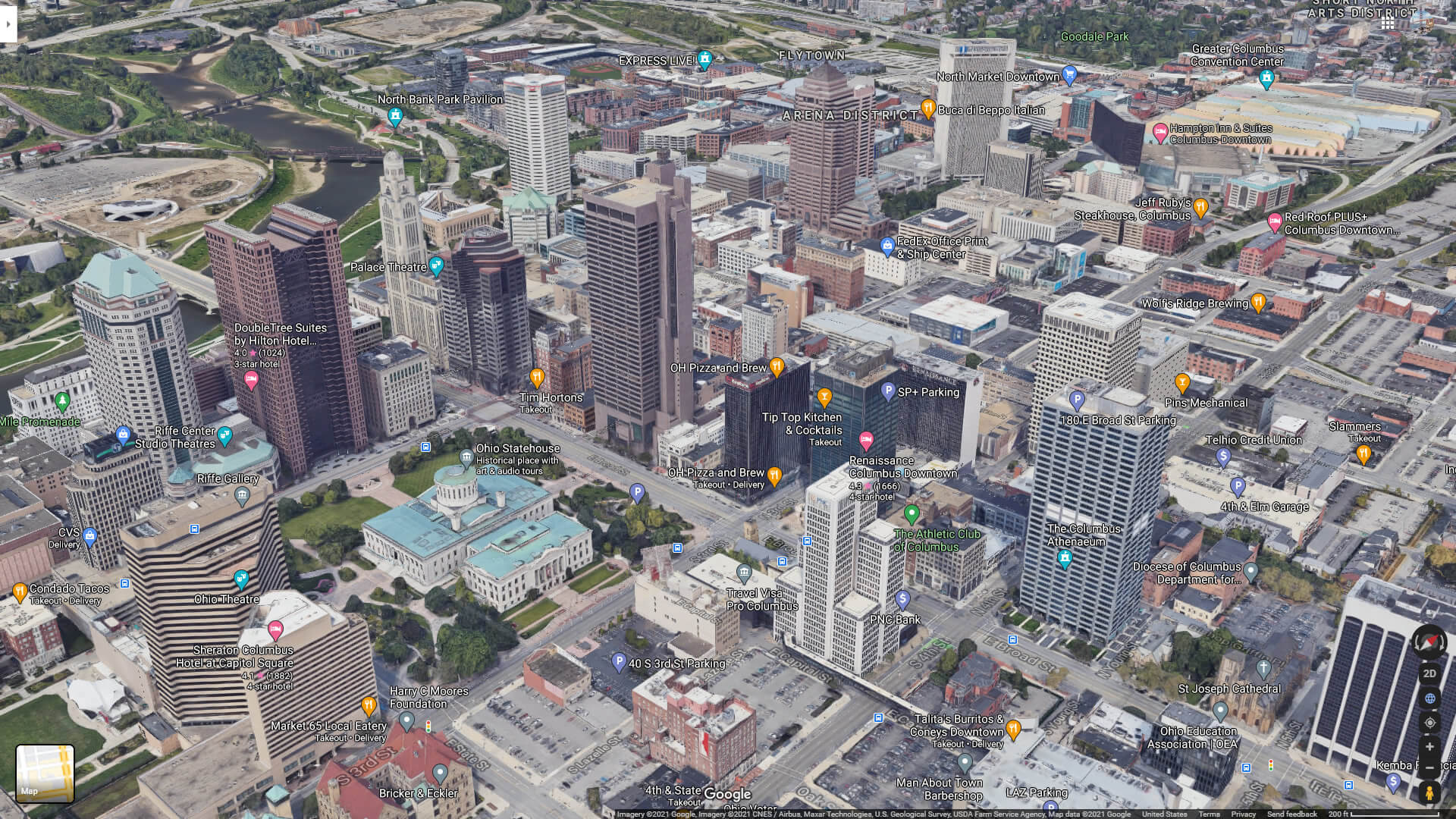
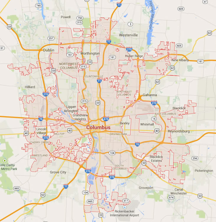
Columbus Downtown Map
Columbus Map
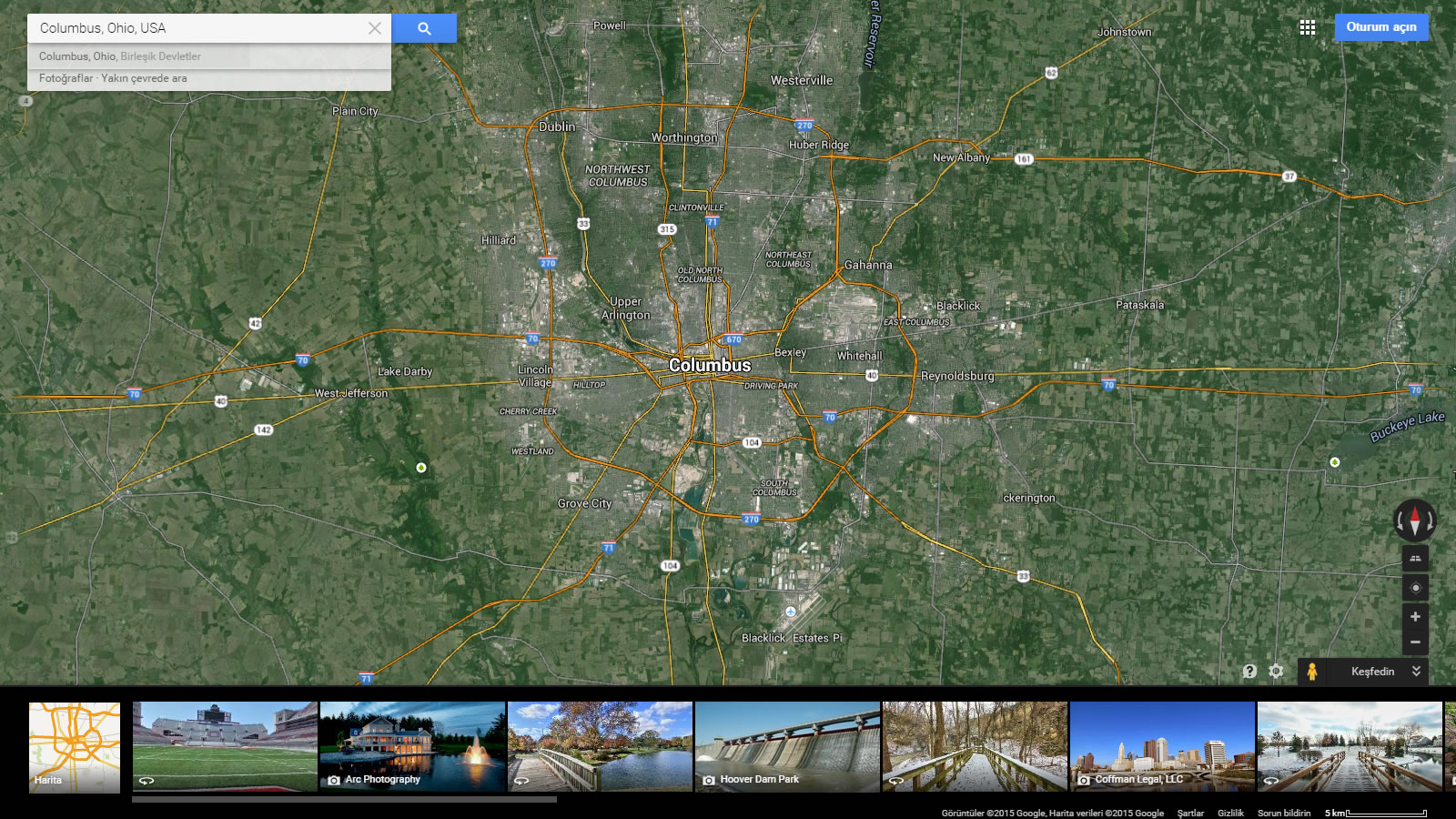
Columbus Map Ohio US

Columbus Map Ohio US satellite
Columbus Ohio Map USA
Related Links
Ohio Map
Ohio Cities Map
Map of United States
United States
United States Map
- Head of Performance Marketing
- Head of SEO
- Linkedin Profile: linkedin.com/in/arifcagrici