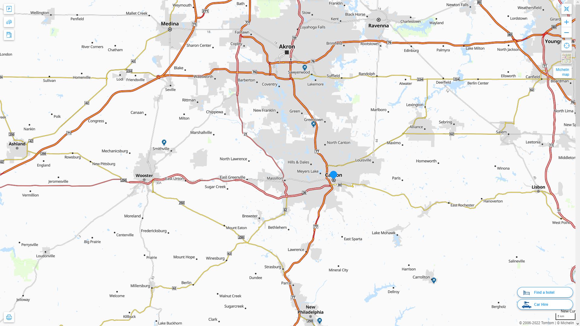
Canton Ohio Map
Navigate Canton, Ohio Map, map of Canton, Canton Ohio regions map, Canton satellite image, towns map, road map of Canton.
Canton Ohio Map FQA
Can I download a high-resolution map of Canton Ohio ?
Yes. Download high-resolution political and physical maps of Canton Ohio for personal or educational use. Redistribution is subject to the terms of our license.Ohio Map
States Map of USA
Map of Canton Ohio, Ohio
canton ohio map usa
A Collection of Canton Ohio Maps
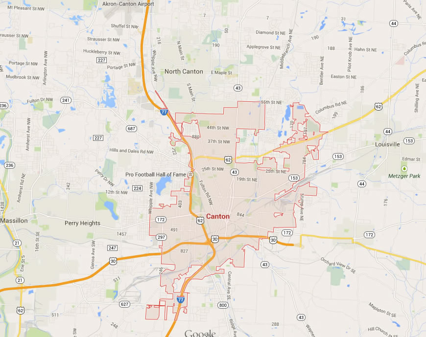
CANTON OHIO MAP USA
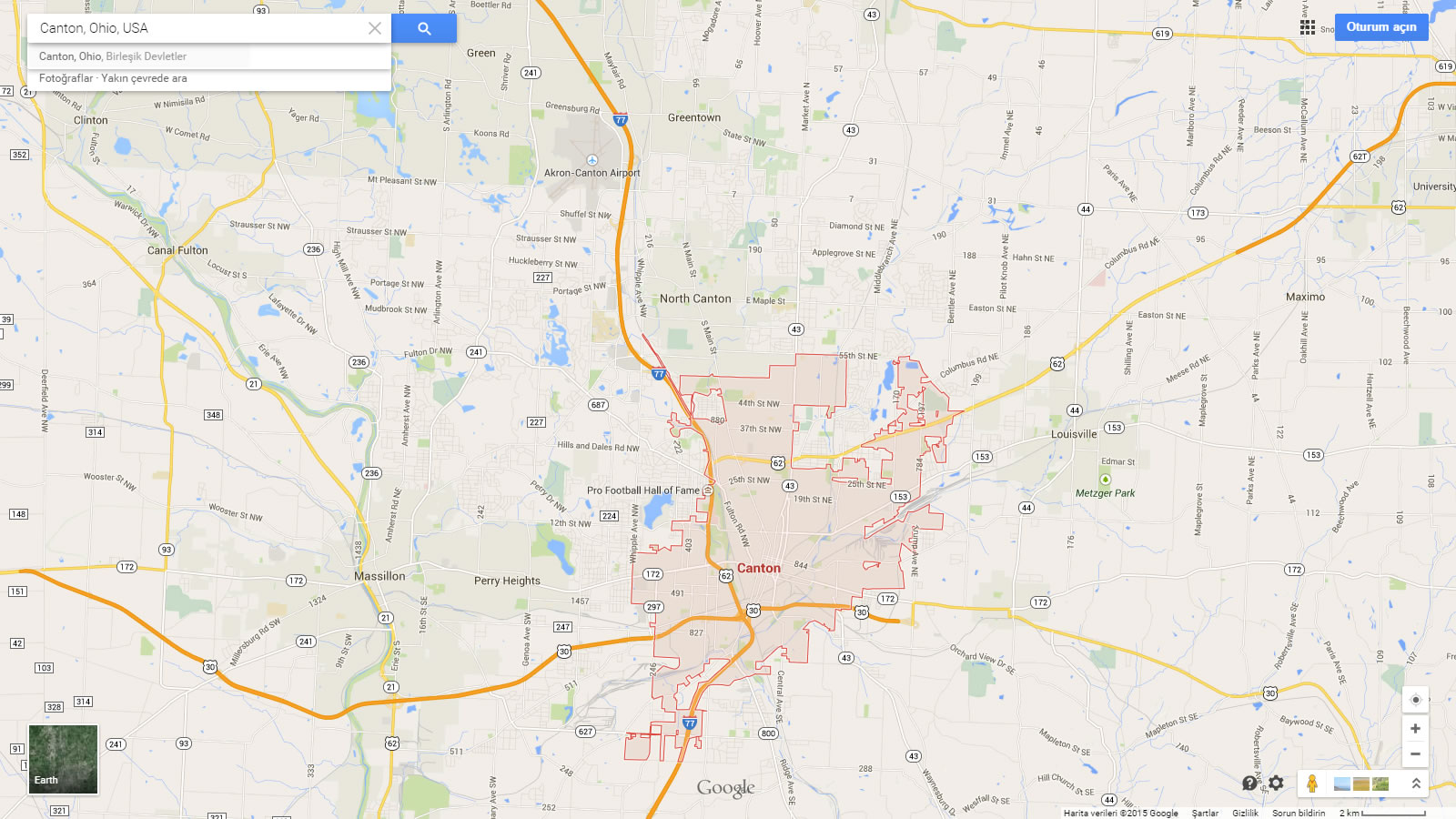
CANTON MAP OHIO US
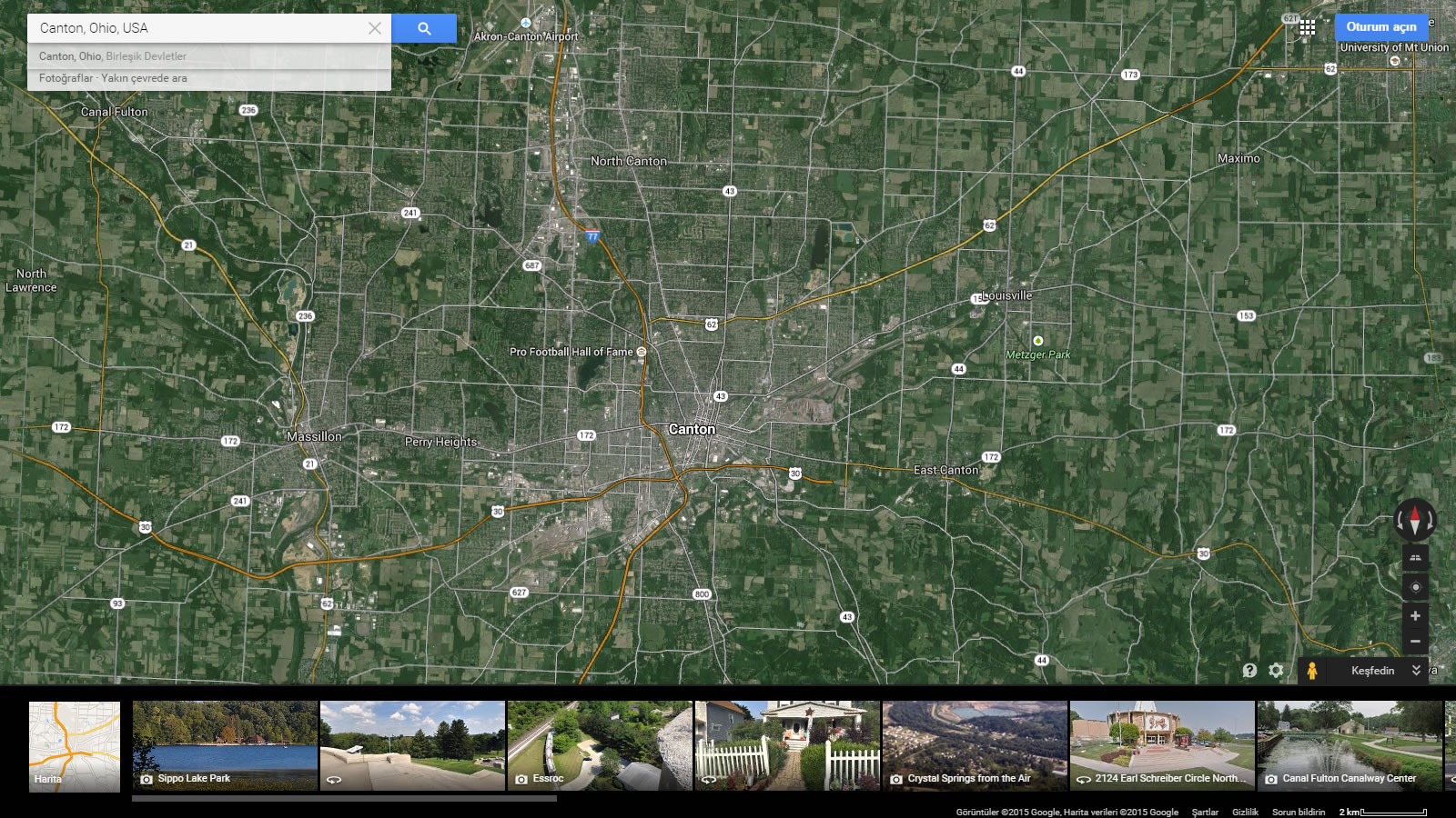
CANTON MAP OHIO US SATELLITE
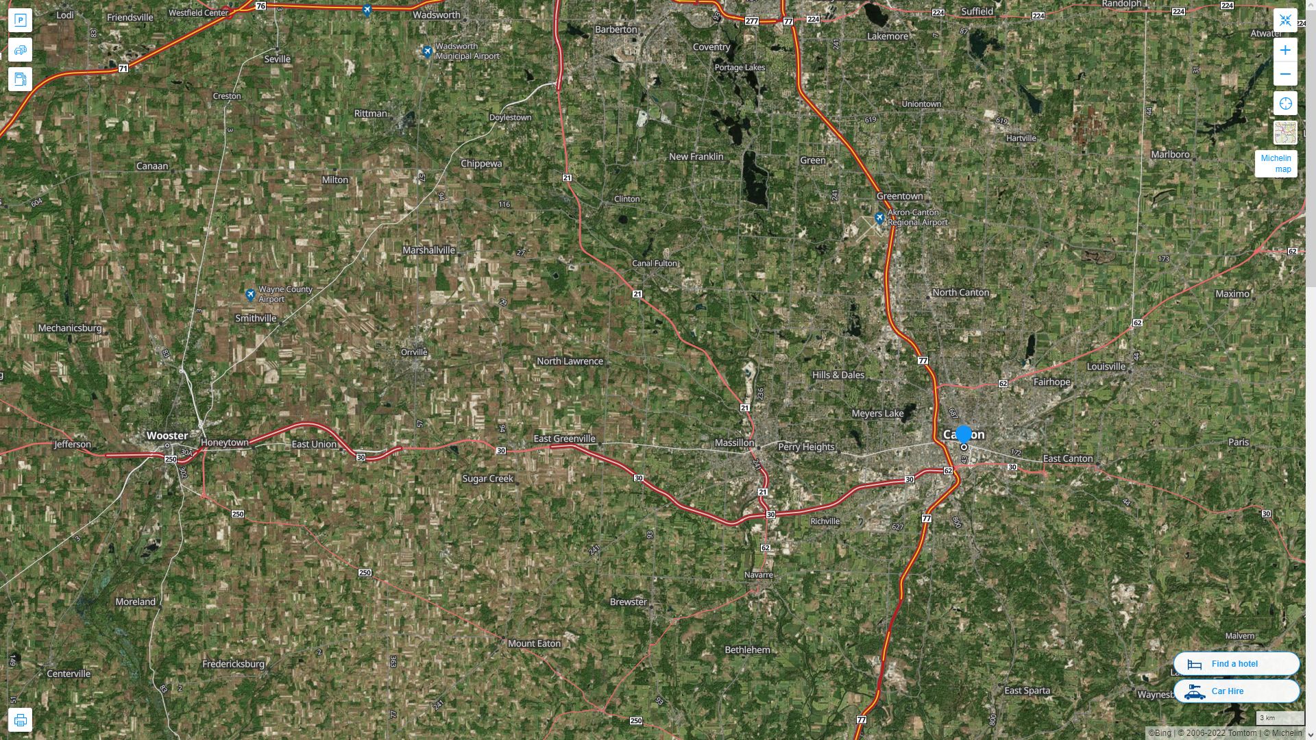
CANTON OHIO HIGHWAY AND ROAD MAP WITH SATELLITE VIEW
CANTON OHIO HIGHWAY AND ROAD MAP
Largest Ohio Cities by Population
Columbus Map Cleveland Map Cincinnati Map Toledo Map Akron Map Dayton Map Parma Map Canton Map Youngstown Map Lorain Map Hamilton Map Springfield Map Kettering Map Elyria Map Lakewood Map Cuyahoga Falls Map Euclid Map Middletown Map Mansfield Map Newark MapColumbus, Cincinnati, and Cleveland, Ohio - US 4K Drone Footage
Please subscribe on "World Guide" channnel on Youtube at youtube.com/c/WorldGuide
For all Ohio Cities Map
Canton Ohio Google Map, Street Views, Maps Directions, Satellite Images
WorldMap1.com offers a collection of Canton Ohio map, google map, Canton Ohio atlas, political, physical, satellite view, country infos, cities map and more map of Canton Ohio.