Earth Map: Political & Physical Maps in High Resolution
Discover a diverse collection of world maps, featuring satellite imagery, physical terrain models, printable formats, and ultra-high-resolution versions. Explore detailed maps of Asia, Africa, Europe, North America, and South America with stunning space-based perspectives. Visualize dynamic plate tectonics and captivating night views—ideal for geography studies, education, and scientific research. <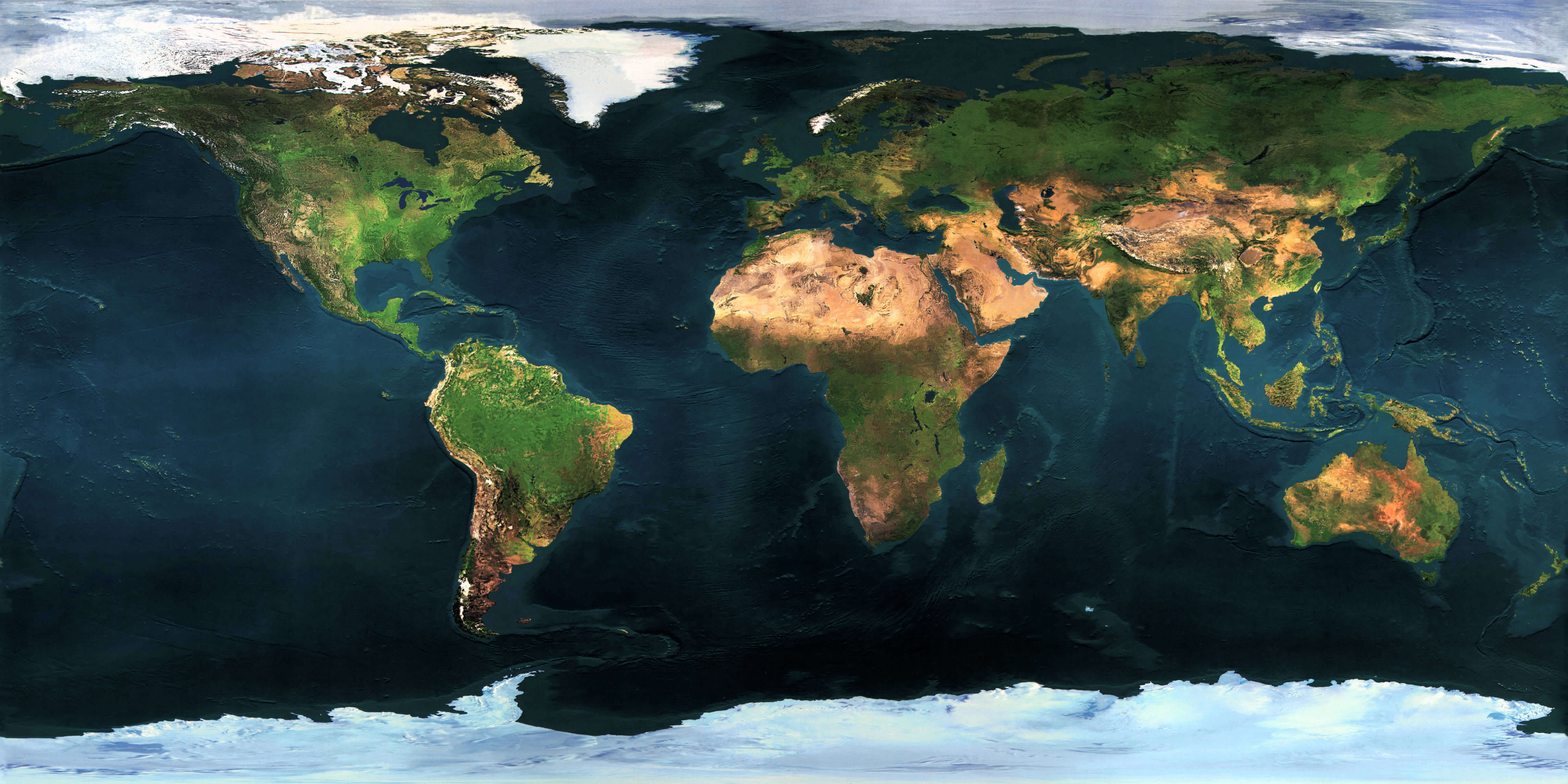
Large High-Resolution Earth Map
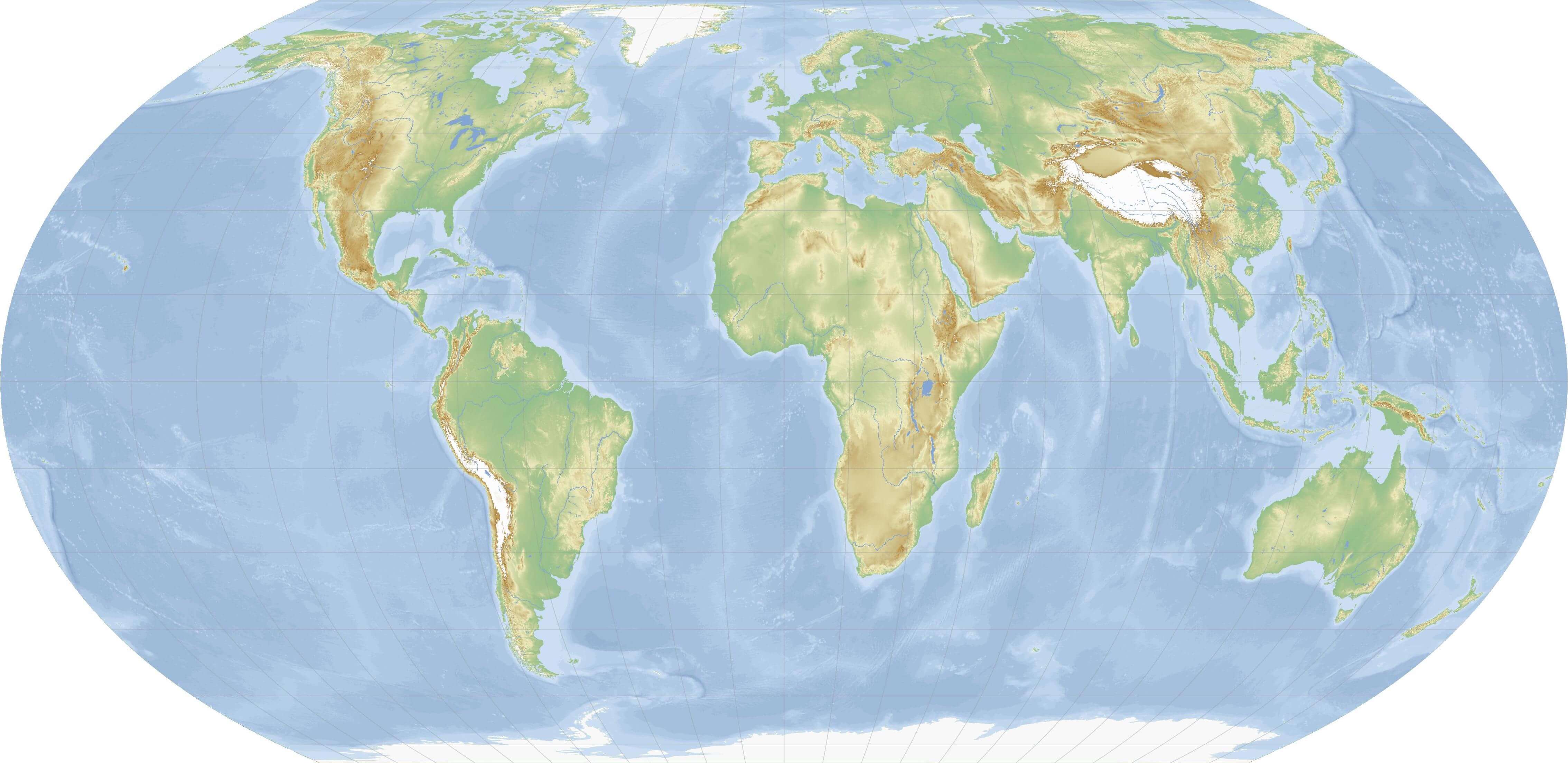
 Detailed large map of Earth showing continents and oceans.
Free Earth map
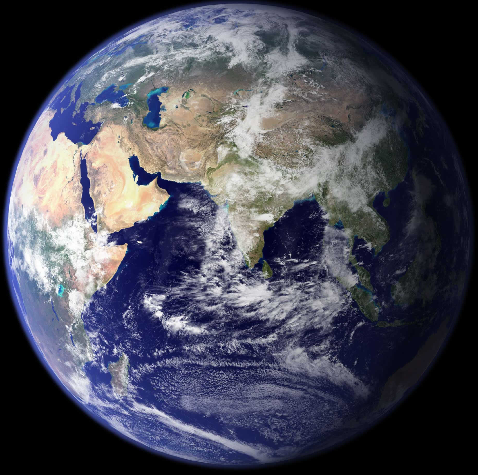
Asia and Earth map
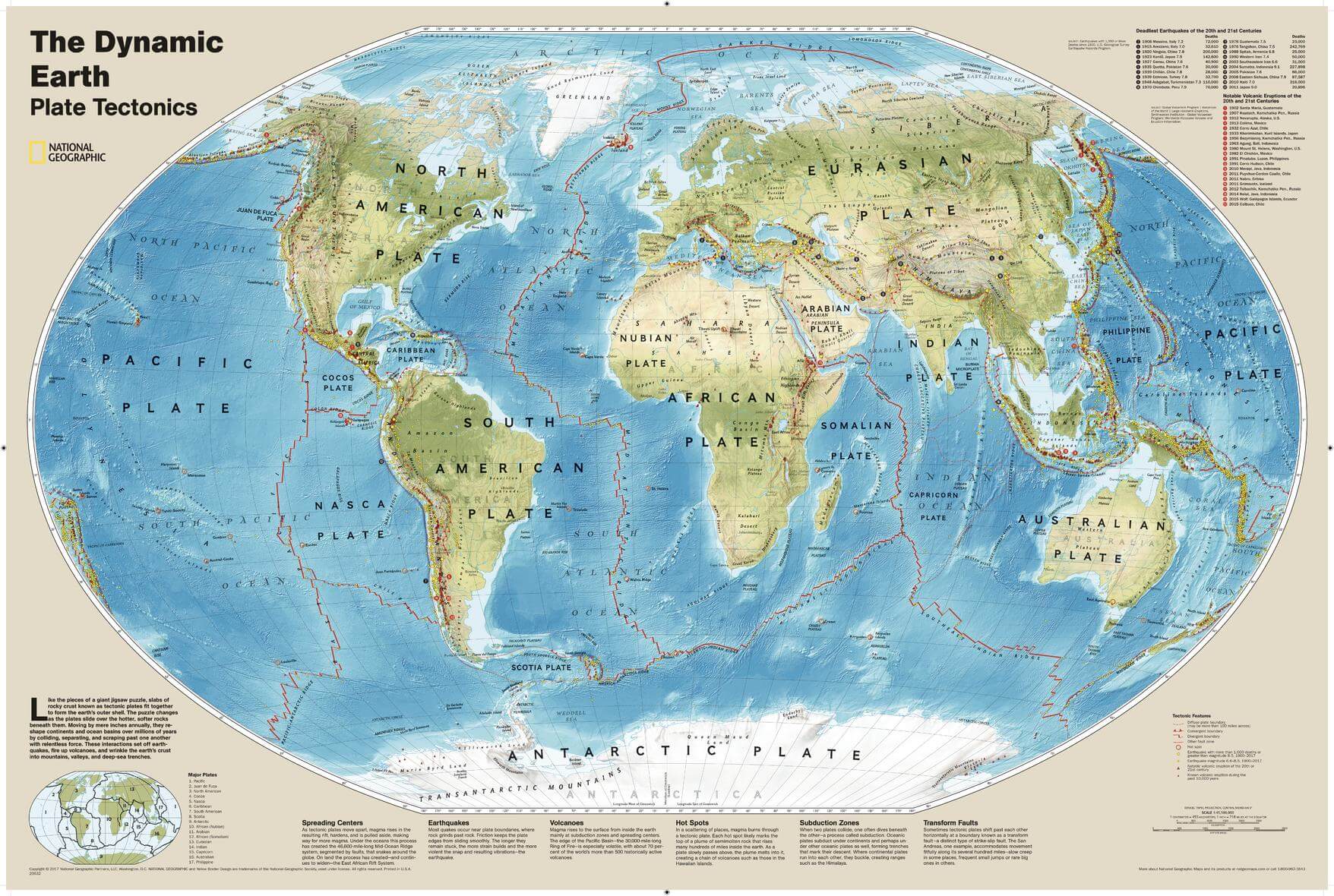
Dynamic Earth plate tectonics map
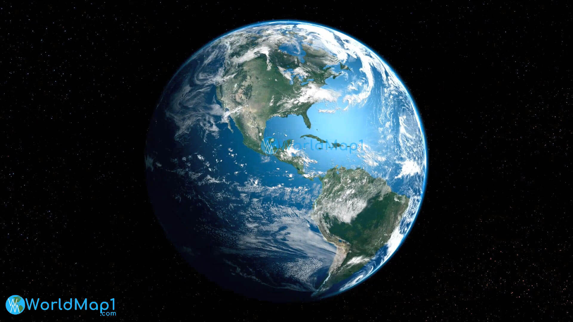
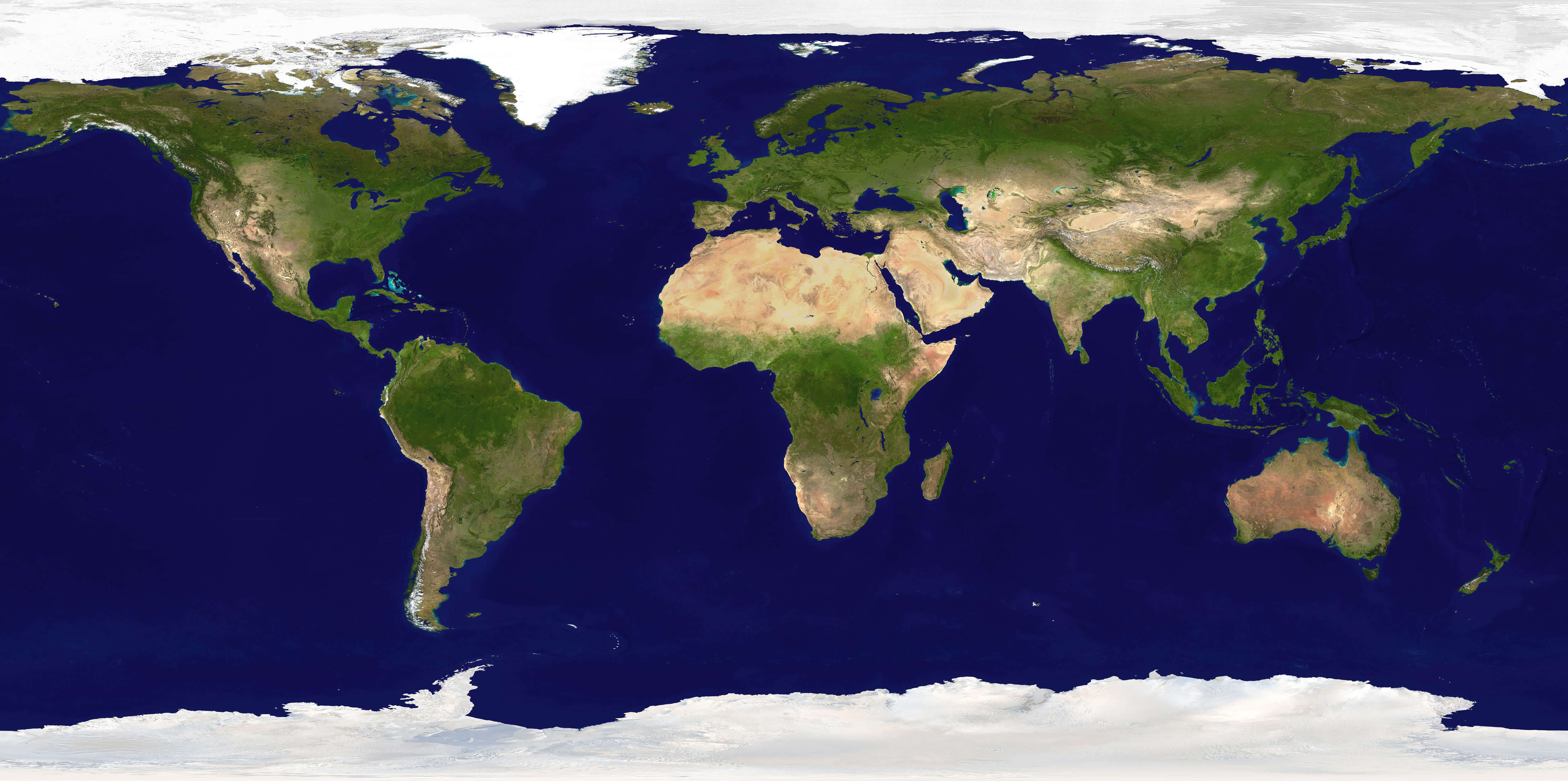
Earth and North America south America from space
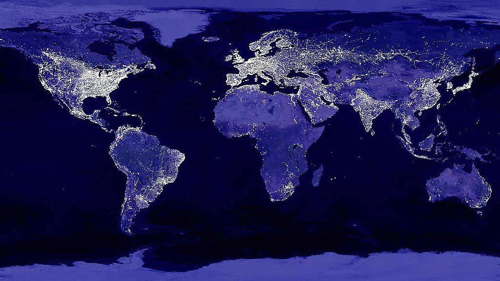
Earth at night world
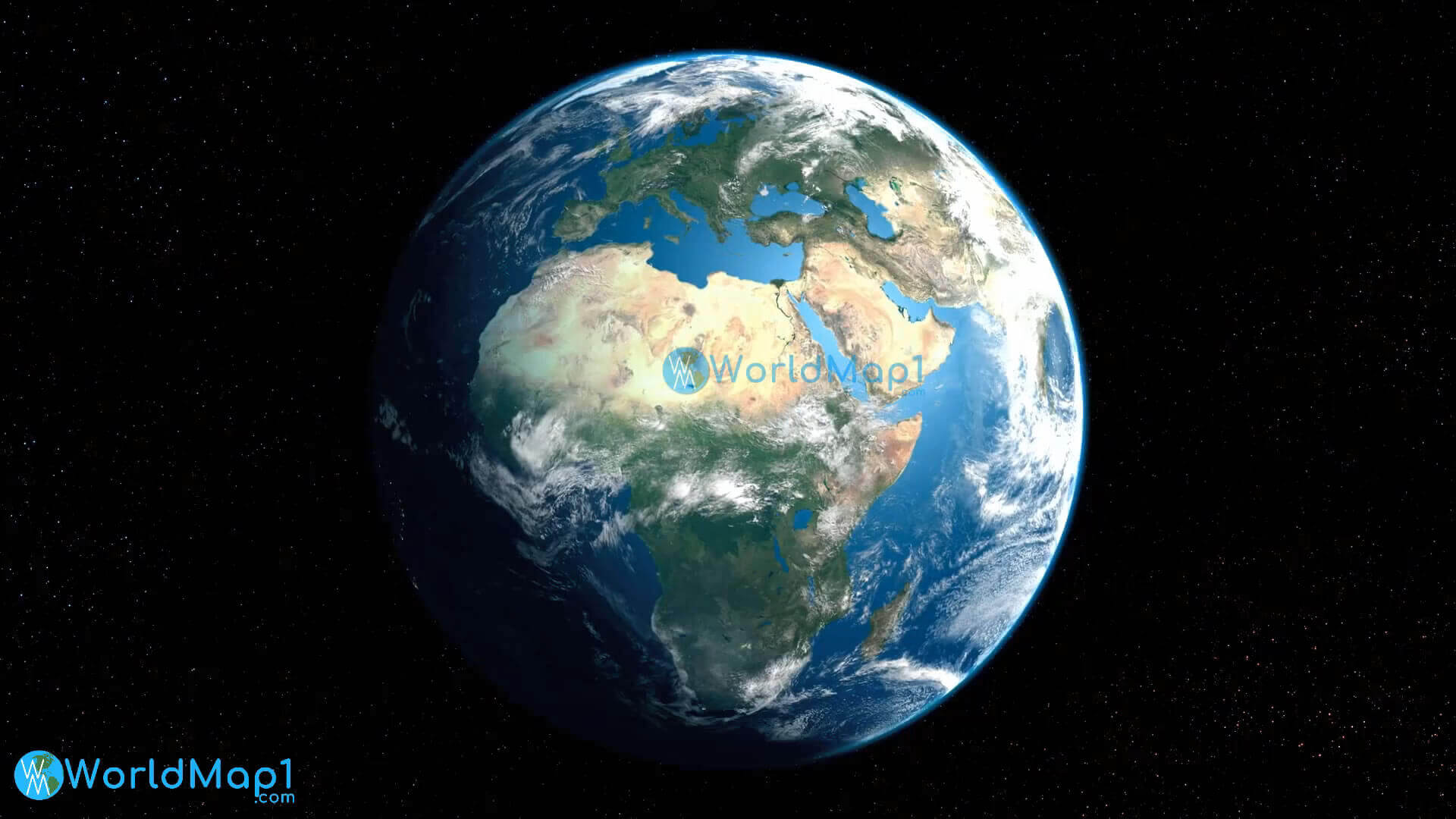
Earth and Africa Europe from space
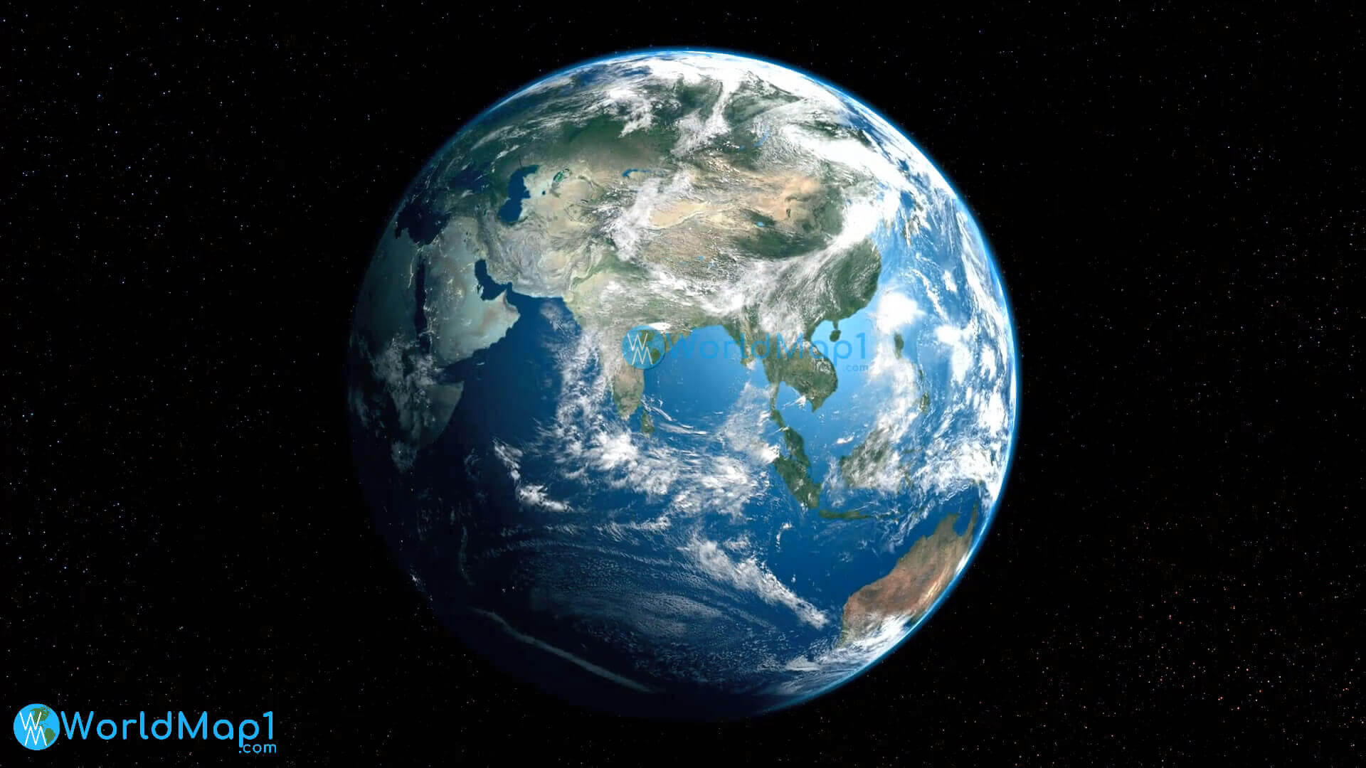
Earth and Asia from space
Earth map
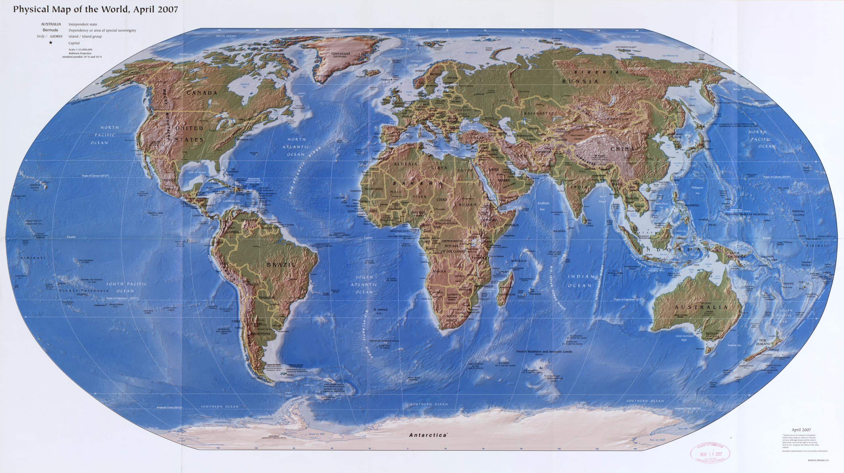
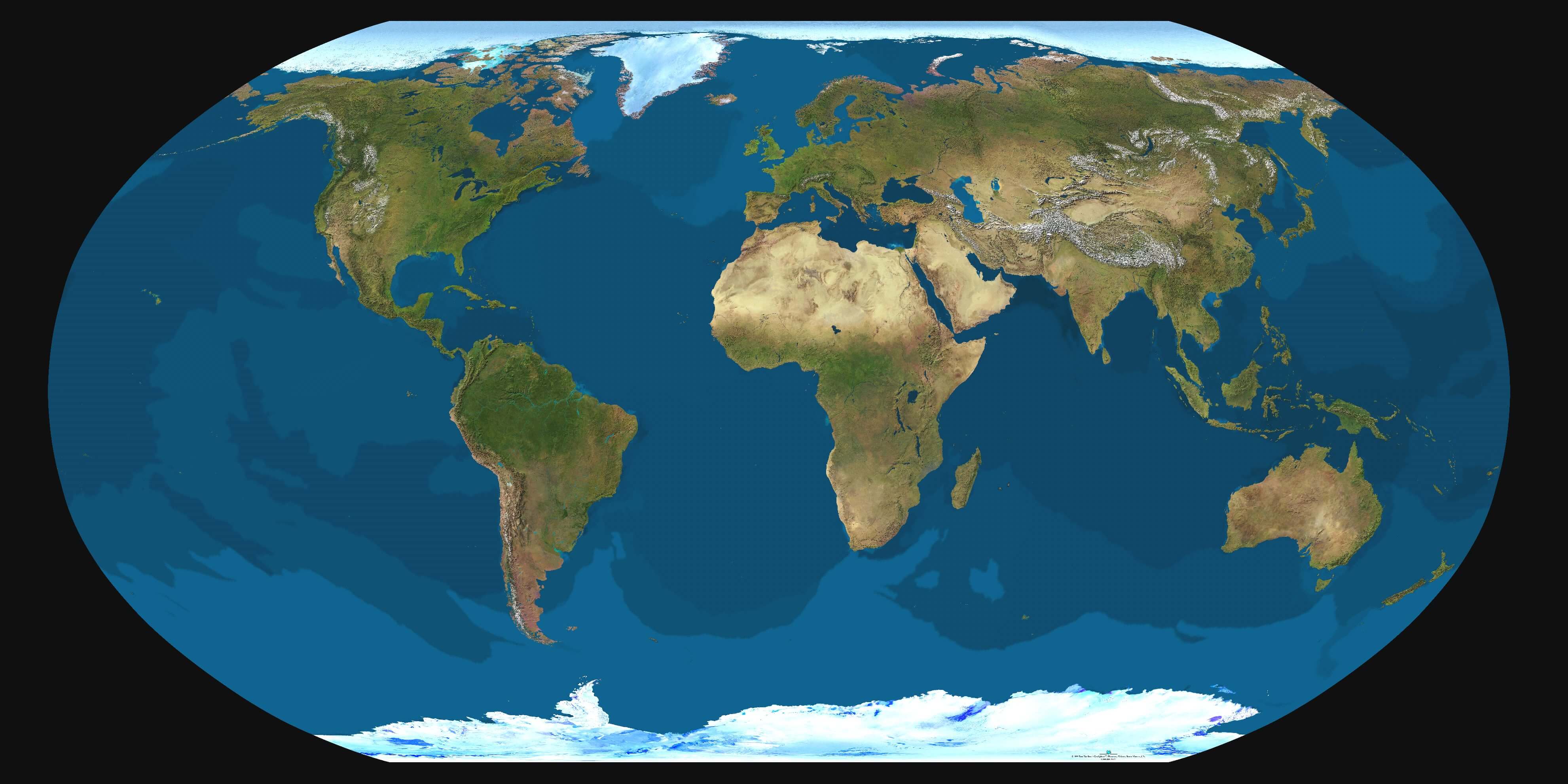
Earth physical map
Earth satellite map
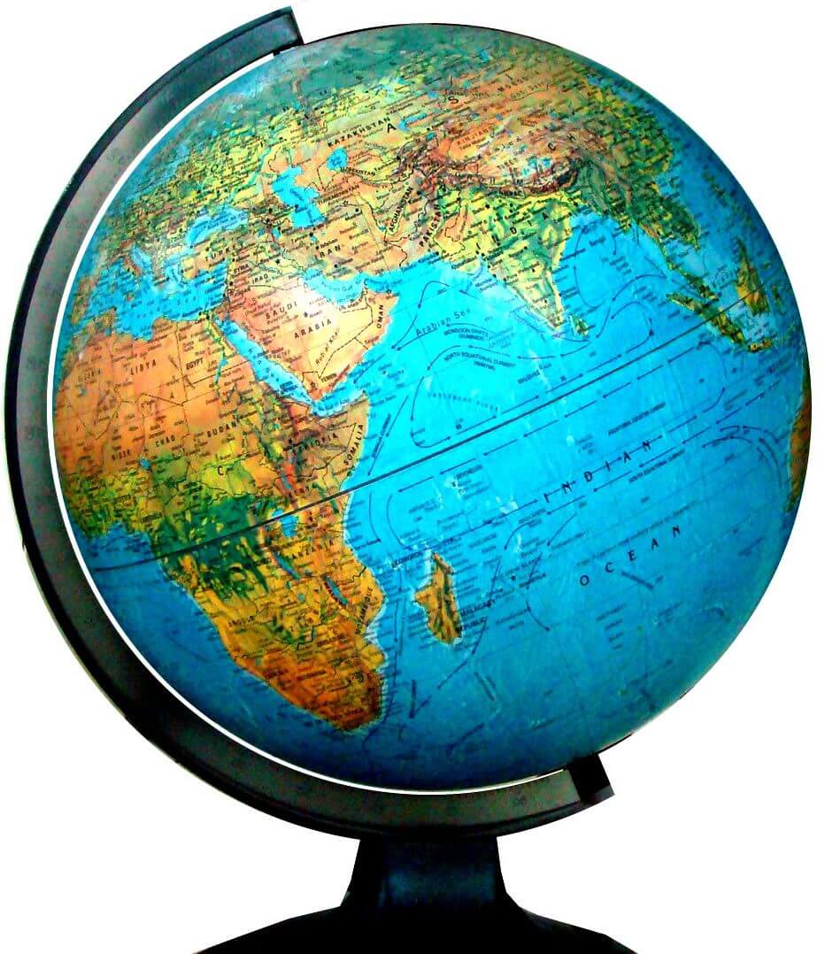
Globe Earth map
High resolution Earth map
North America and Earth map
Printable Earth map
South America and Earth map
Feel free to explore these pages as well:
- World Map
- World
- Europe Population Map Countries 2006
- More World Map
- Map of the World
- Map of World
- World Maps
- World Political Map
- World Atlas
- World Map with Countries
- World Map Collection
- World Population Map
- World Wallpapers Maps
- Large World Maps
- Download World Map
- World Map in High-Resolution
- Free HD World Map
- Head of Performance Marketing
- Head of SEO
- Linkedin Profile: linkedin.com/in/arifcagrici