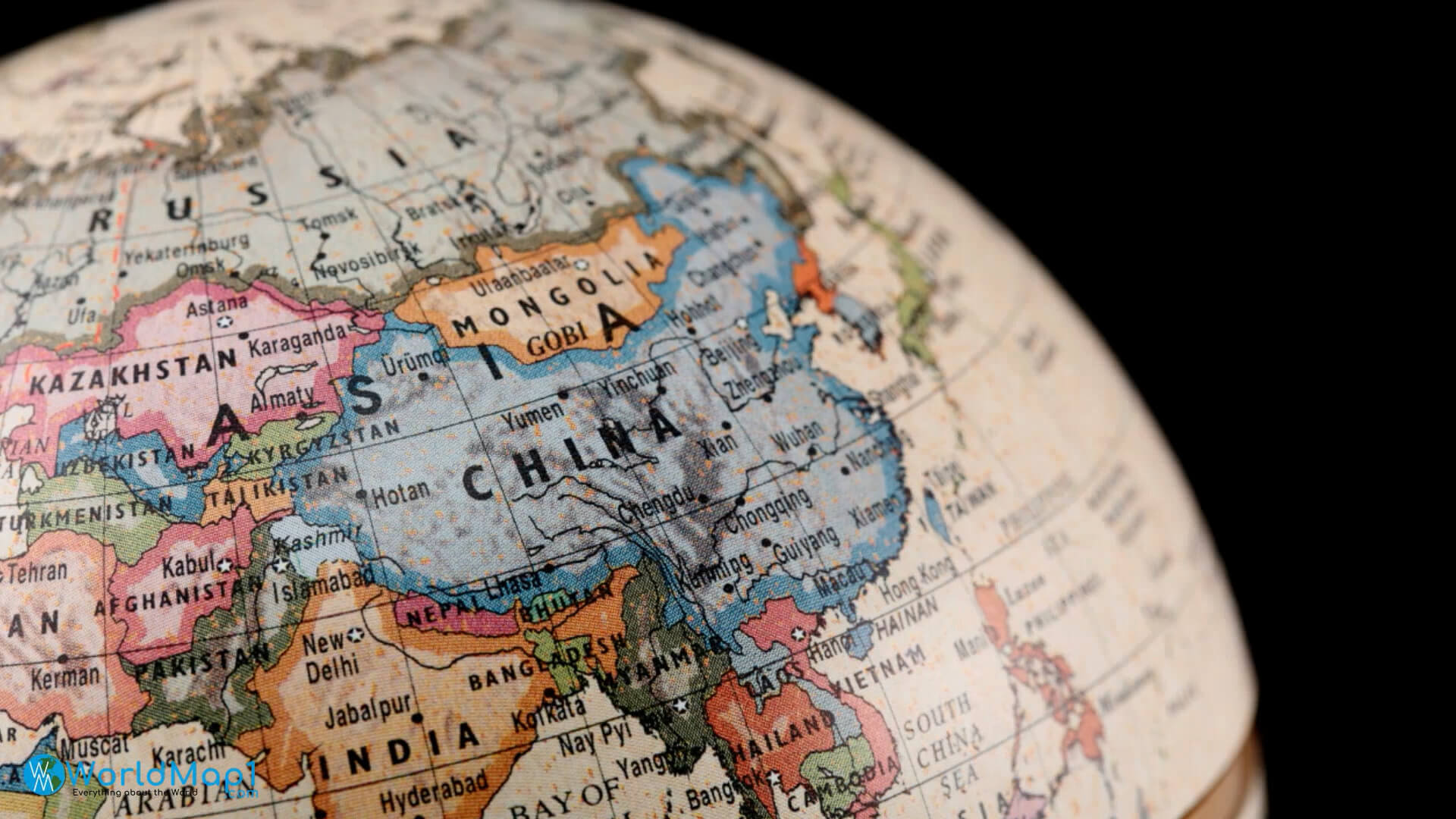
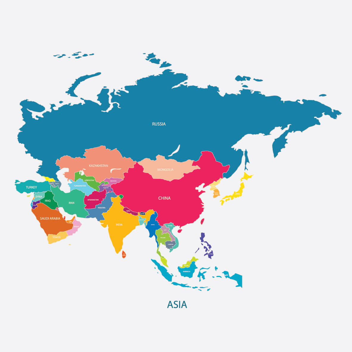
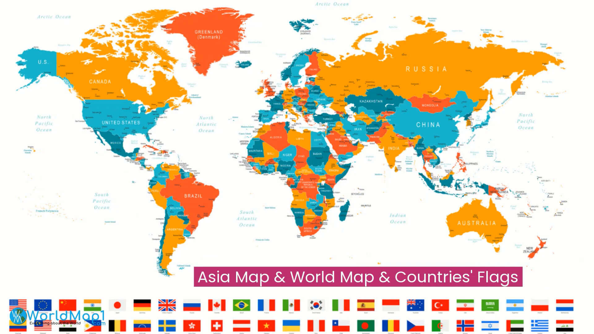
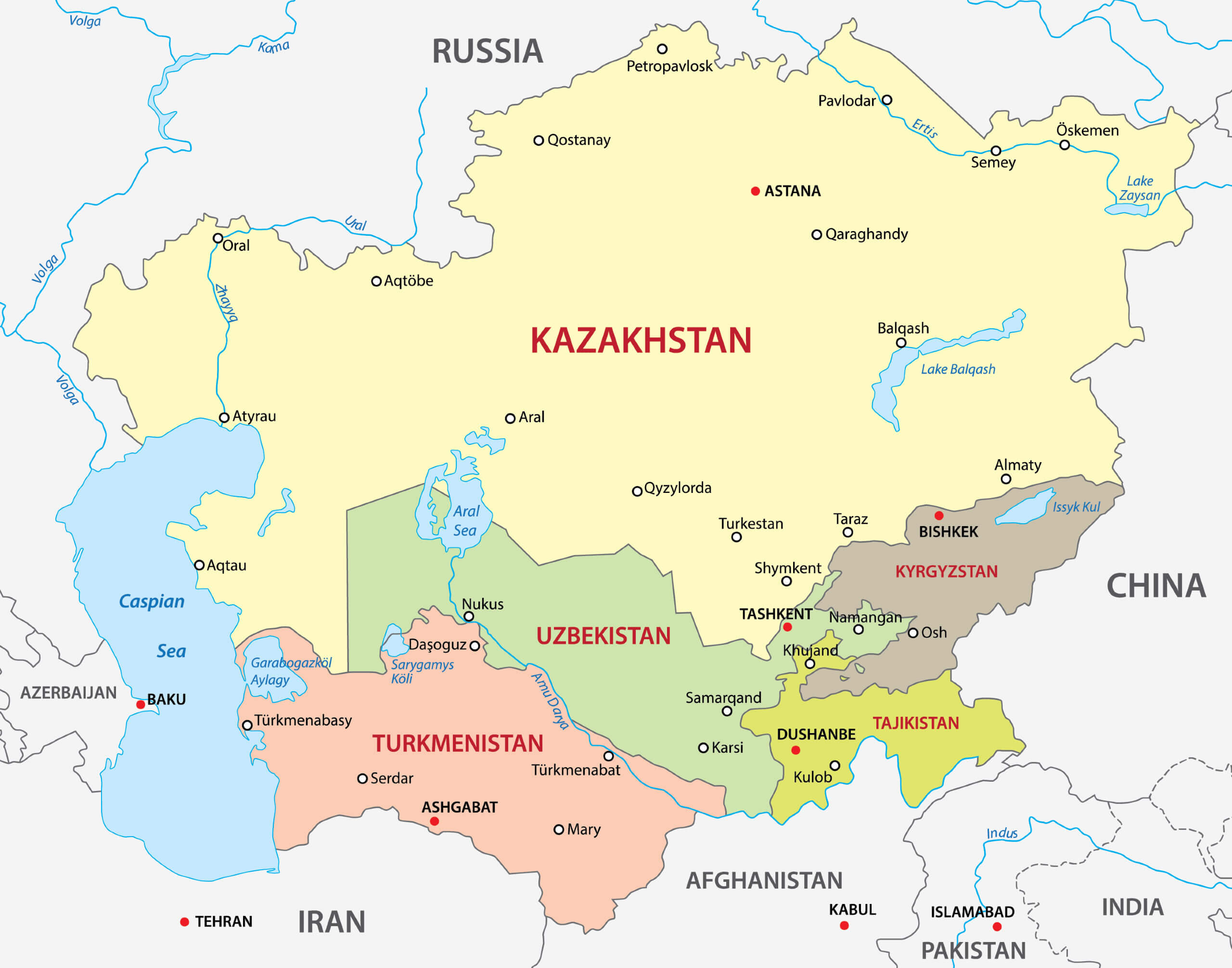
Countries and Borders Map of Asia
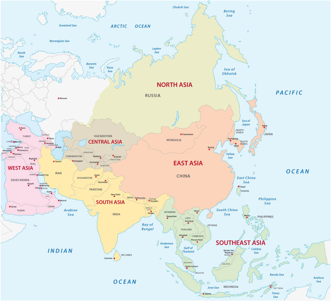
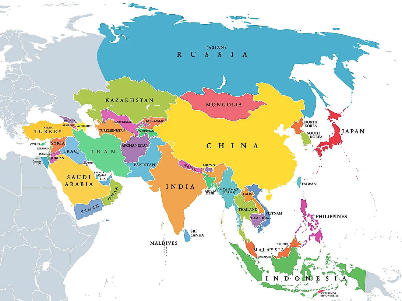 Colorful political map showing countries and borders of Asia.
This political map of Asia displays all countries with clearly marked borders and names. It highlights the geographic layout of the continent, showcasing neighboring nations, regions, and island countries. The color-coded divisions help easily identify and distinguish each country.
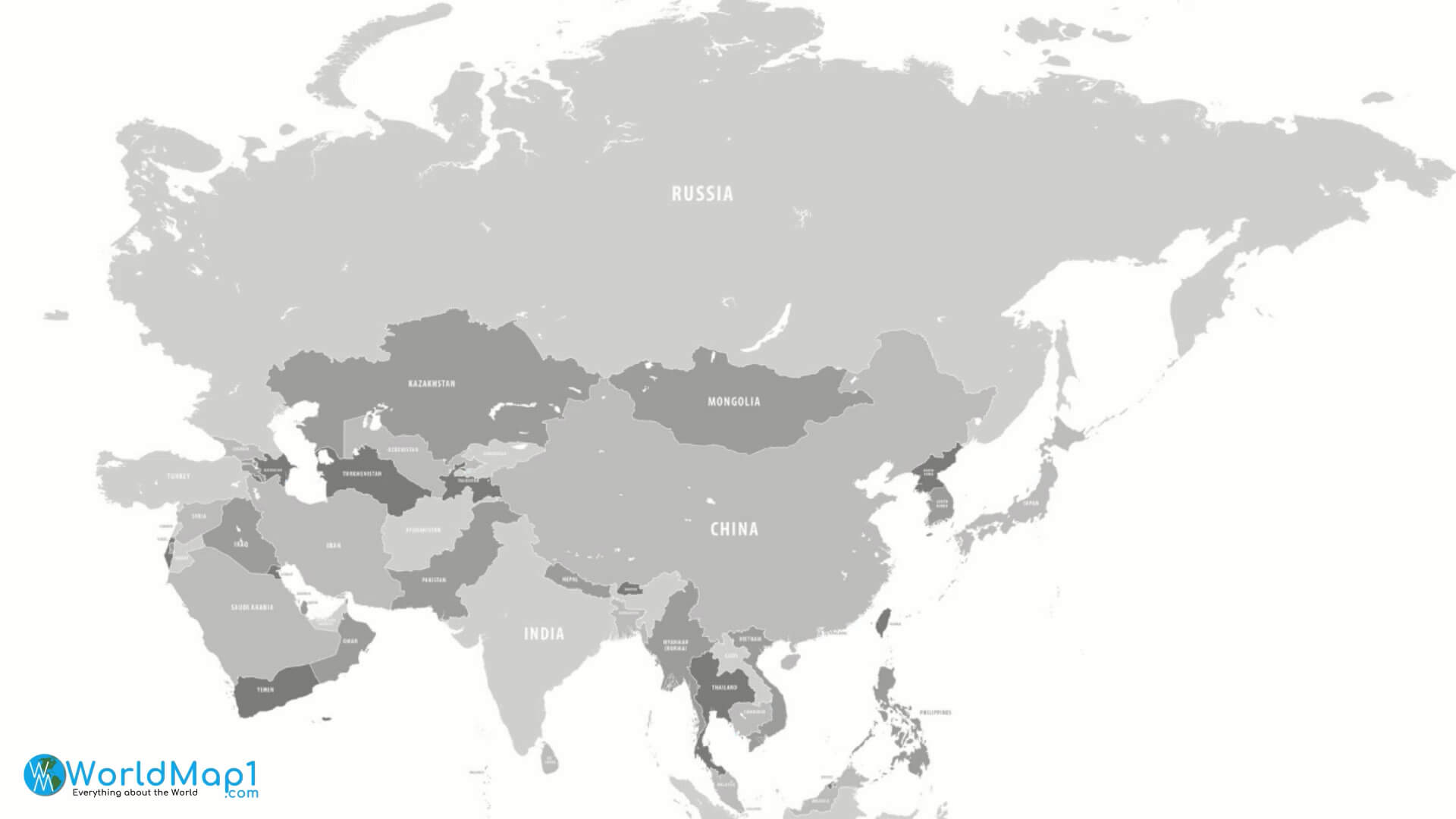
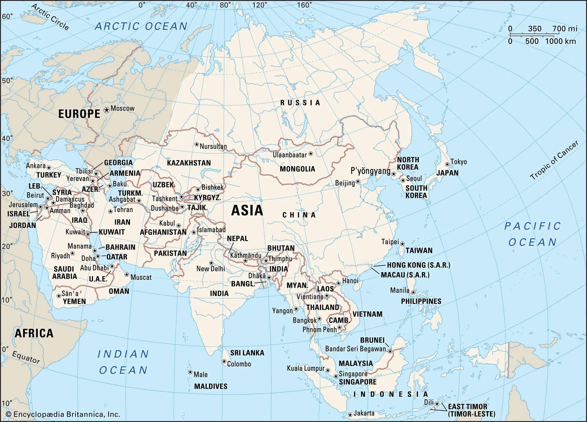
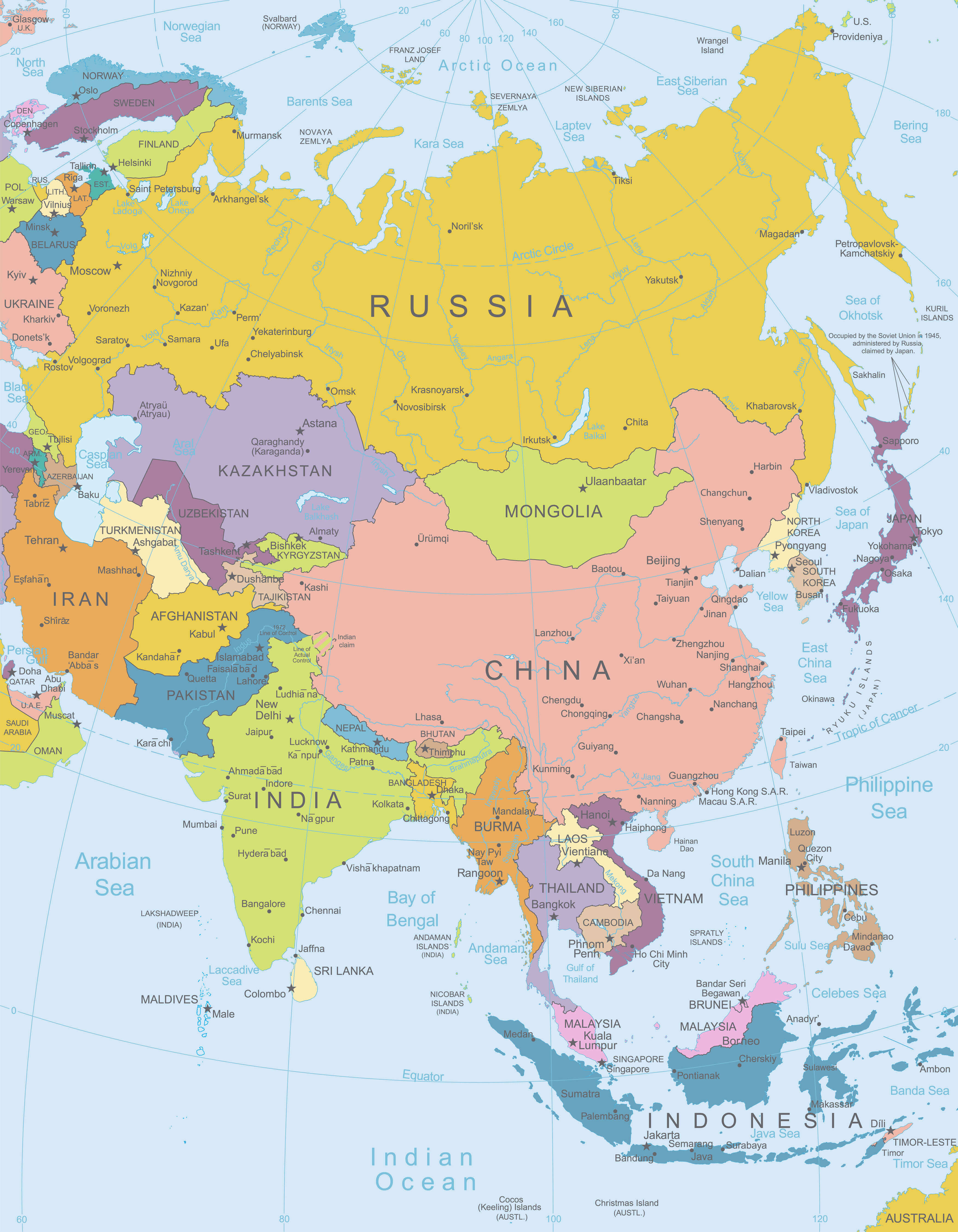
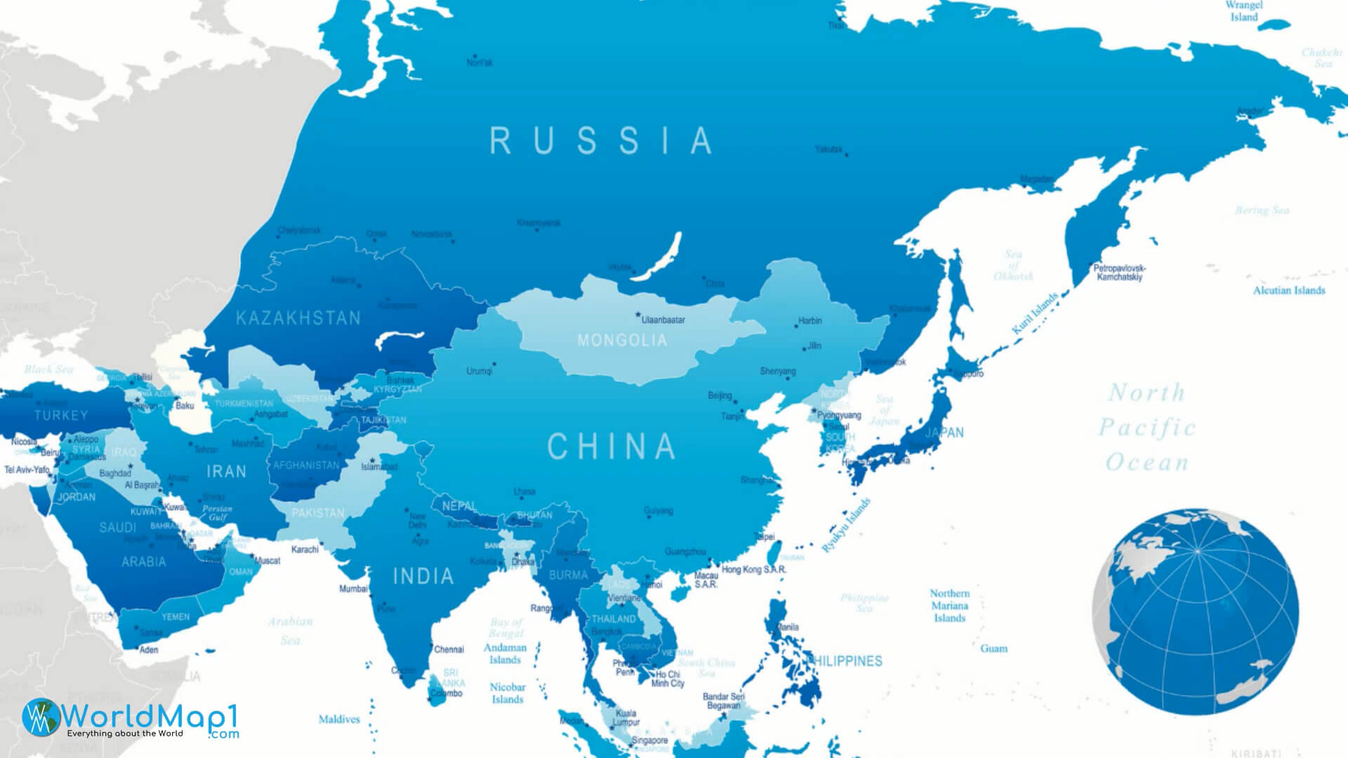
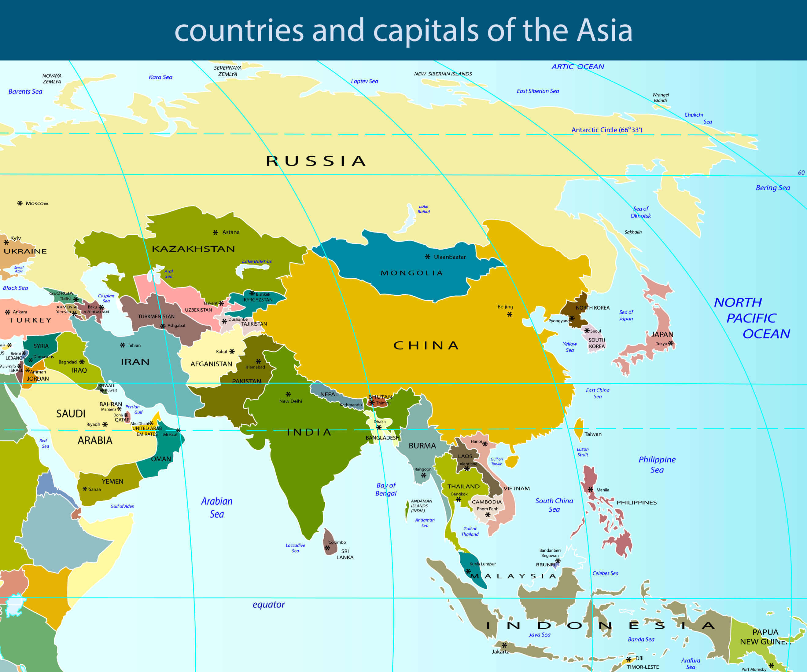
Political Map of Asian Countries with Borders and Major Seas
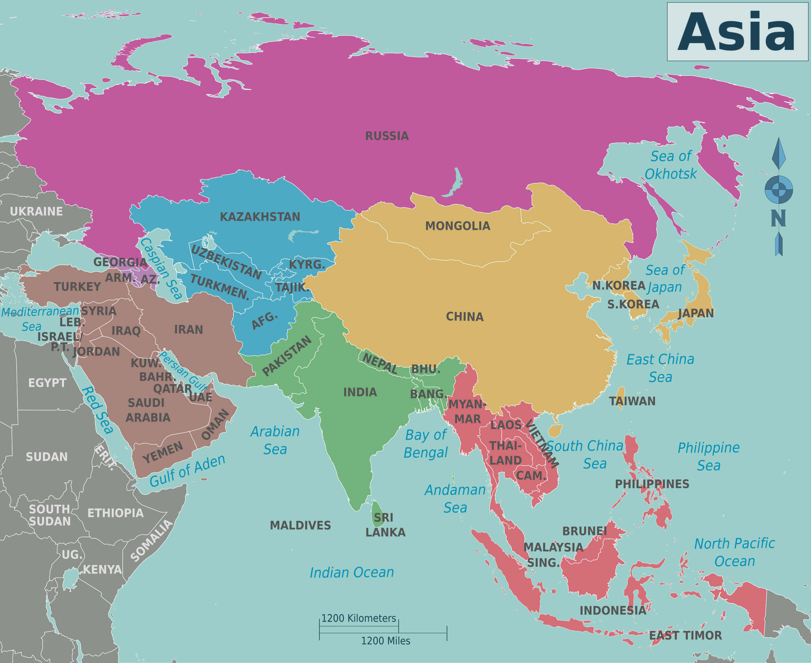 Detailed political map of Asia showing countries, borders, and surrounding seas.
This map shows the countries of Asia, marked by their political borders and names, with nearby seas also indicated. It illustrates the continent's geographical layout, including major oceans, gulfs and neighbouring regions. Colour coding helps to distinguish between each country, improving visual clarity.