Political Map of Israel with Cities and Borders
Explore a detailed Political Map of Israel that displays the country's administrative boundaries, major cities, and international borders. The map highlights key urban centers such as Jerusalem, Tel Aviv-Yafo, and Haifa, along with neighboring countries and surrounding regions including the West Bank and Gaza Strip. Ideal for educational and reference purposes, it provides a clear overview of Israel's political structure and geographic position in the Middle East. 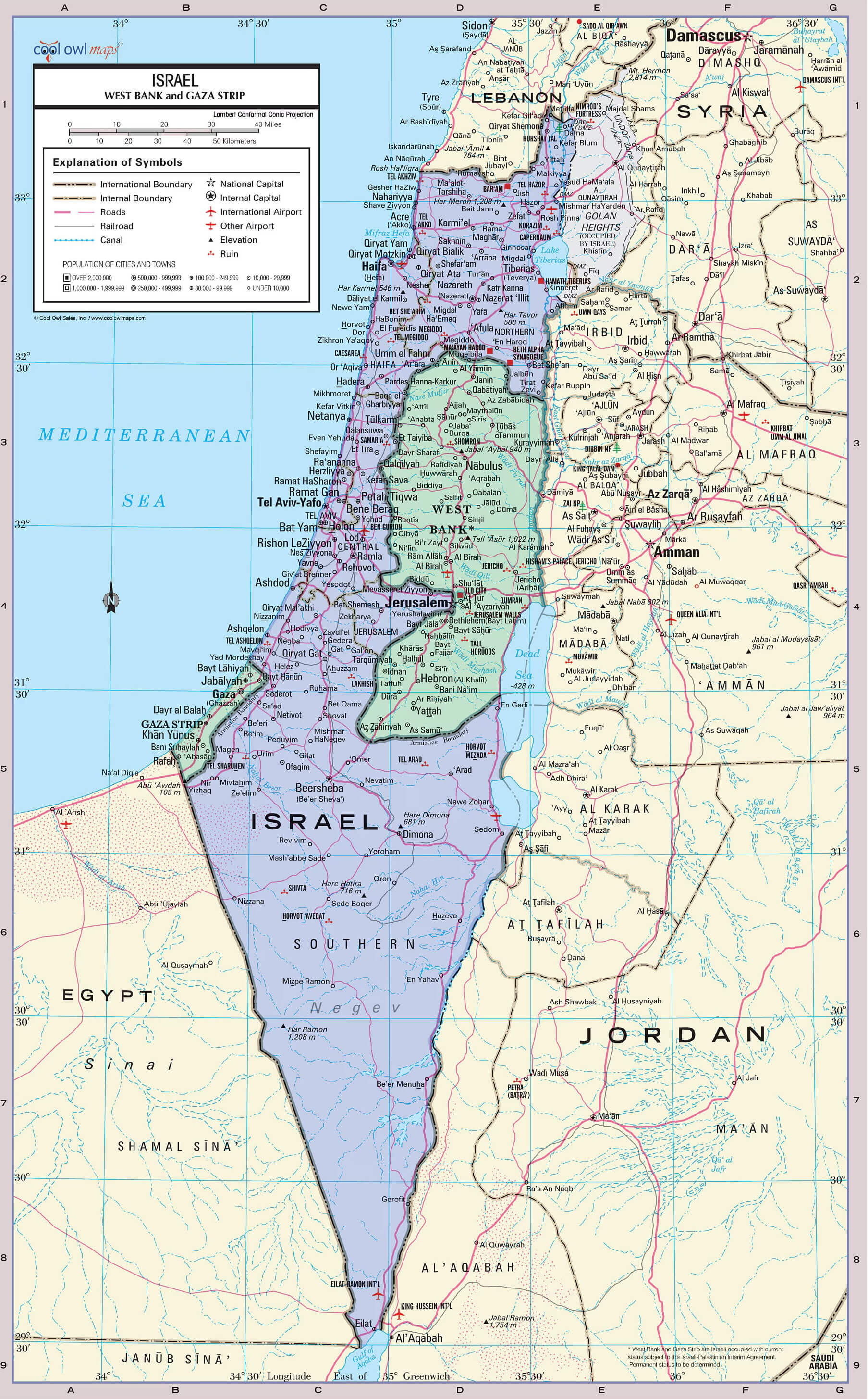
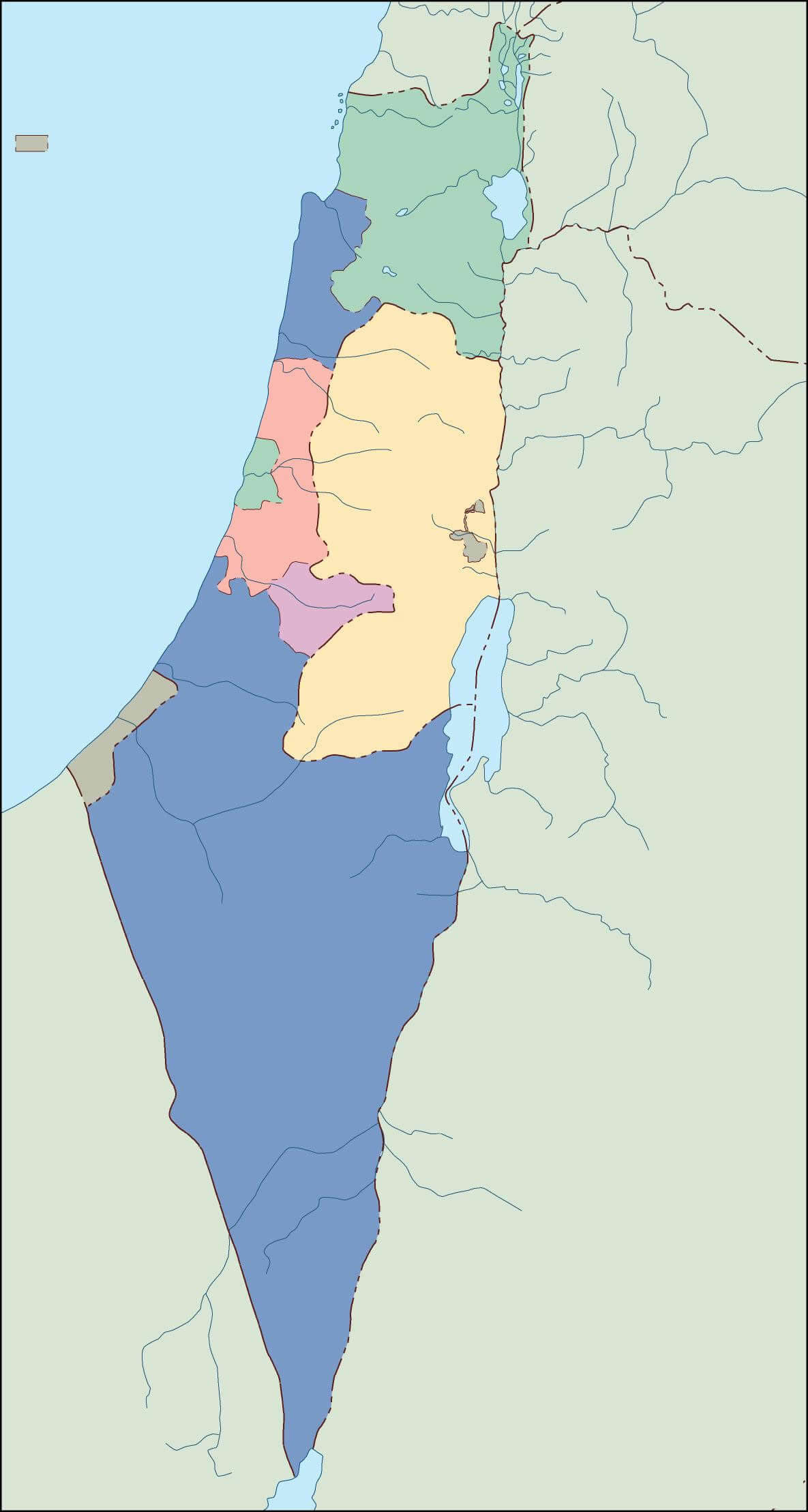
Israel blank political map with regions
Israel country map with national flag
Political Map of Israel
Israel eastern mediterranean political map
Israel high resolution major cities map
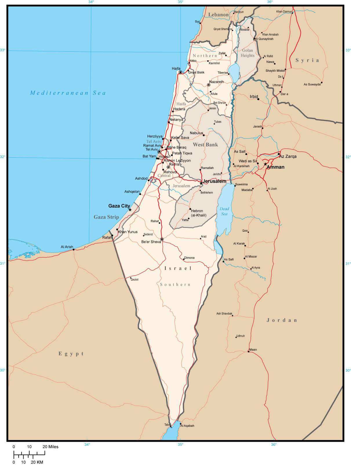
Israel international boundary map with highways
Israel Political Map with Major Cities and Borders
Countries recognizing map of Israel
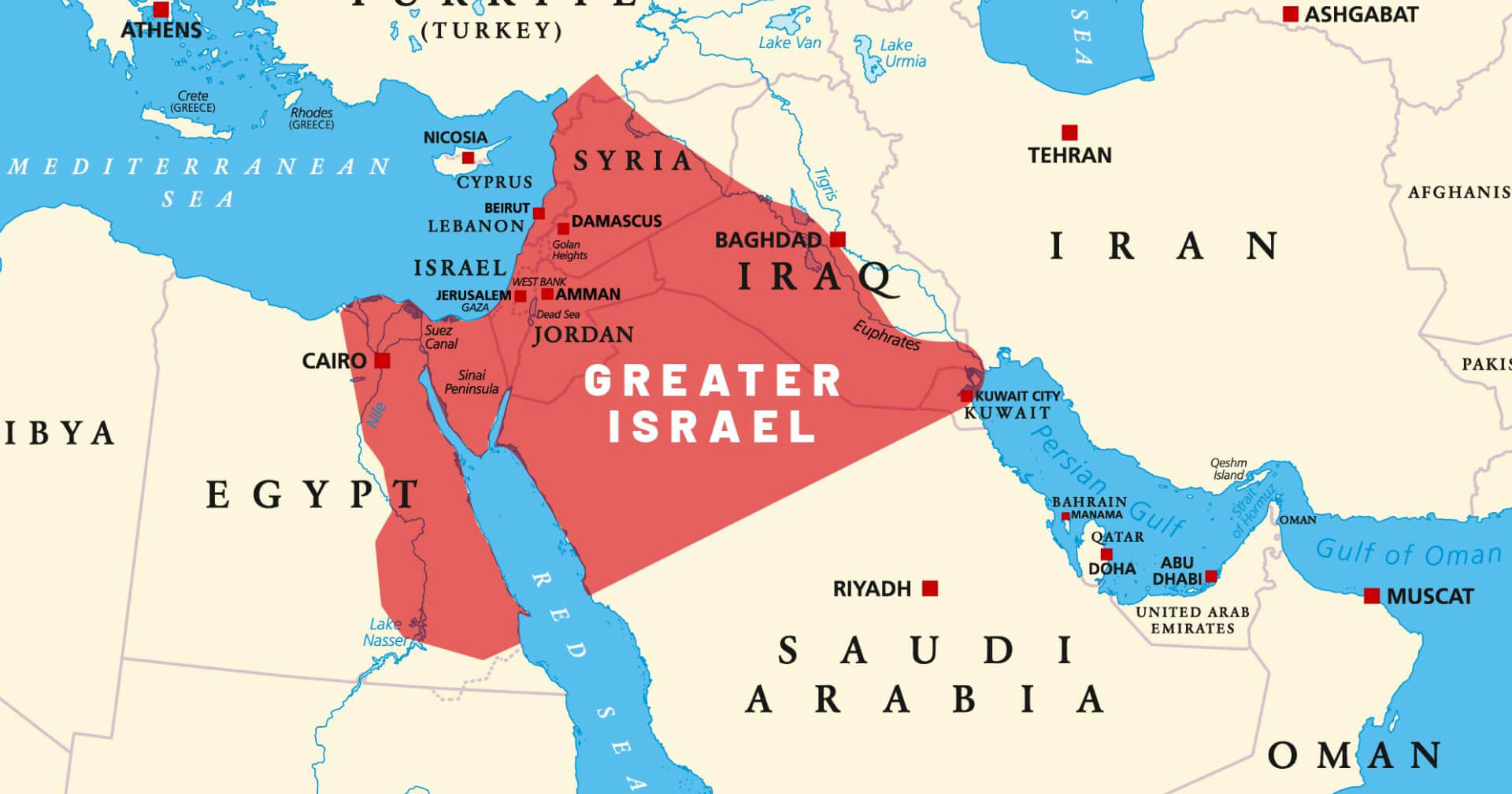
Greater Israel map
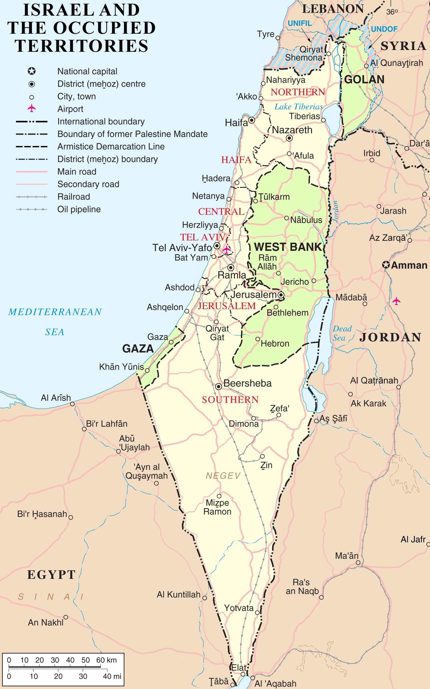
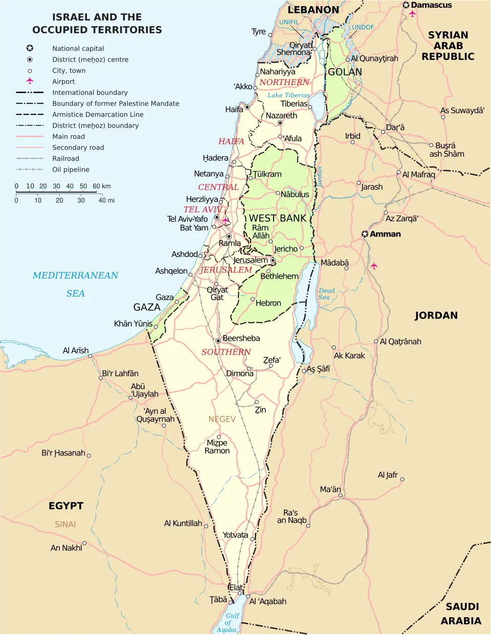
Israel and occupied territories road oil pipeline map
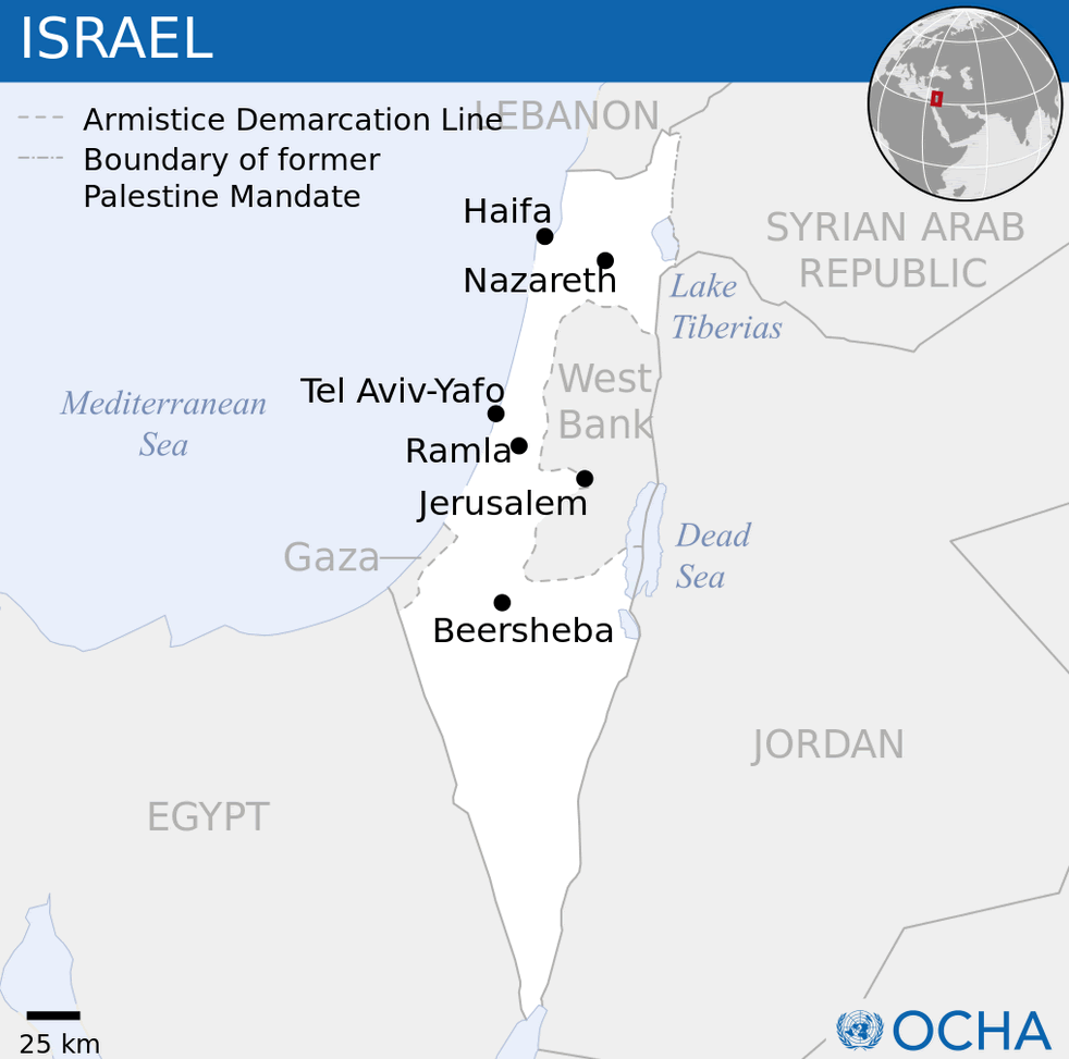
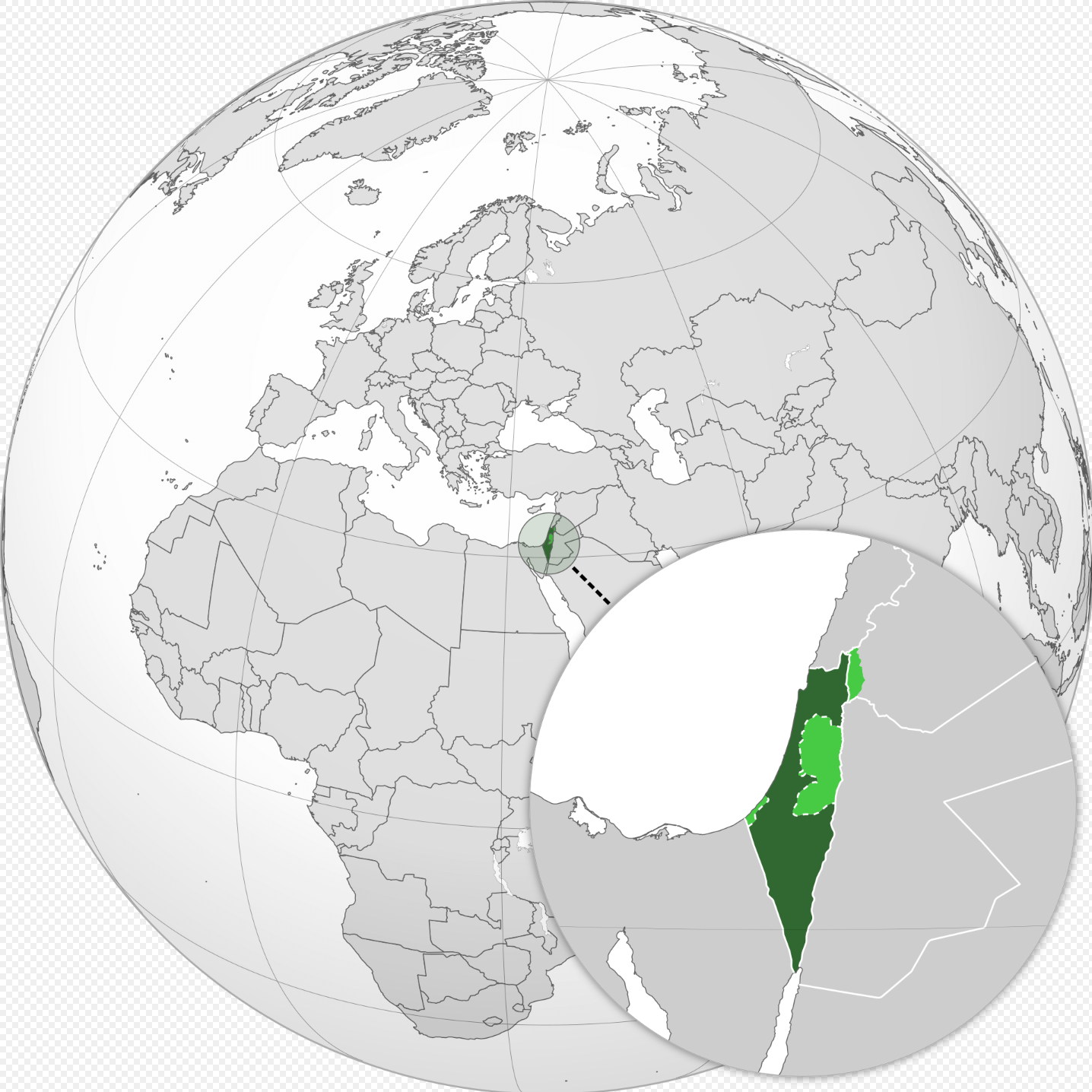
Israel location map
Israel map with cities
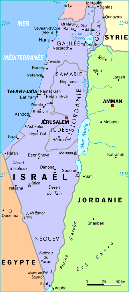
Israel politcal map in french
Israel political cities map.svg

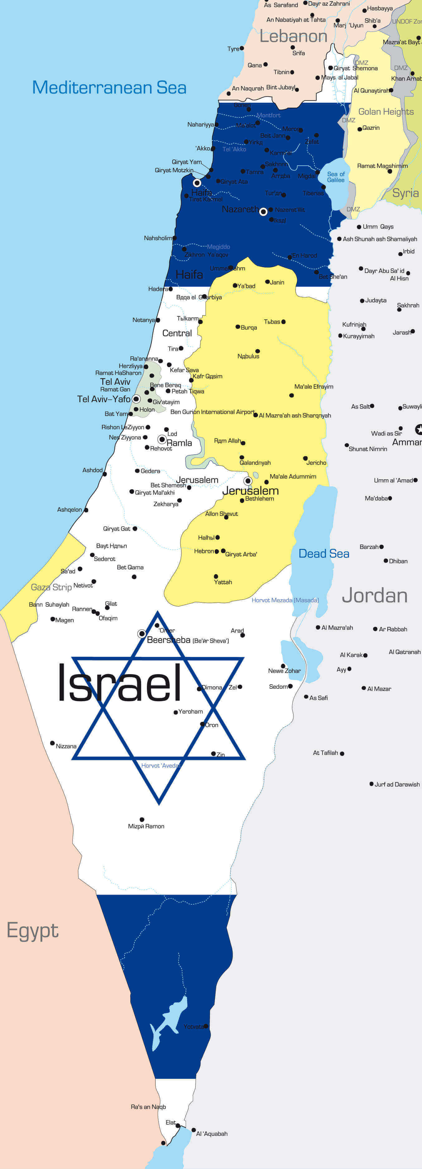
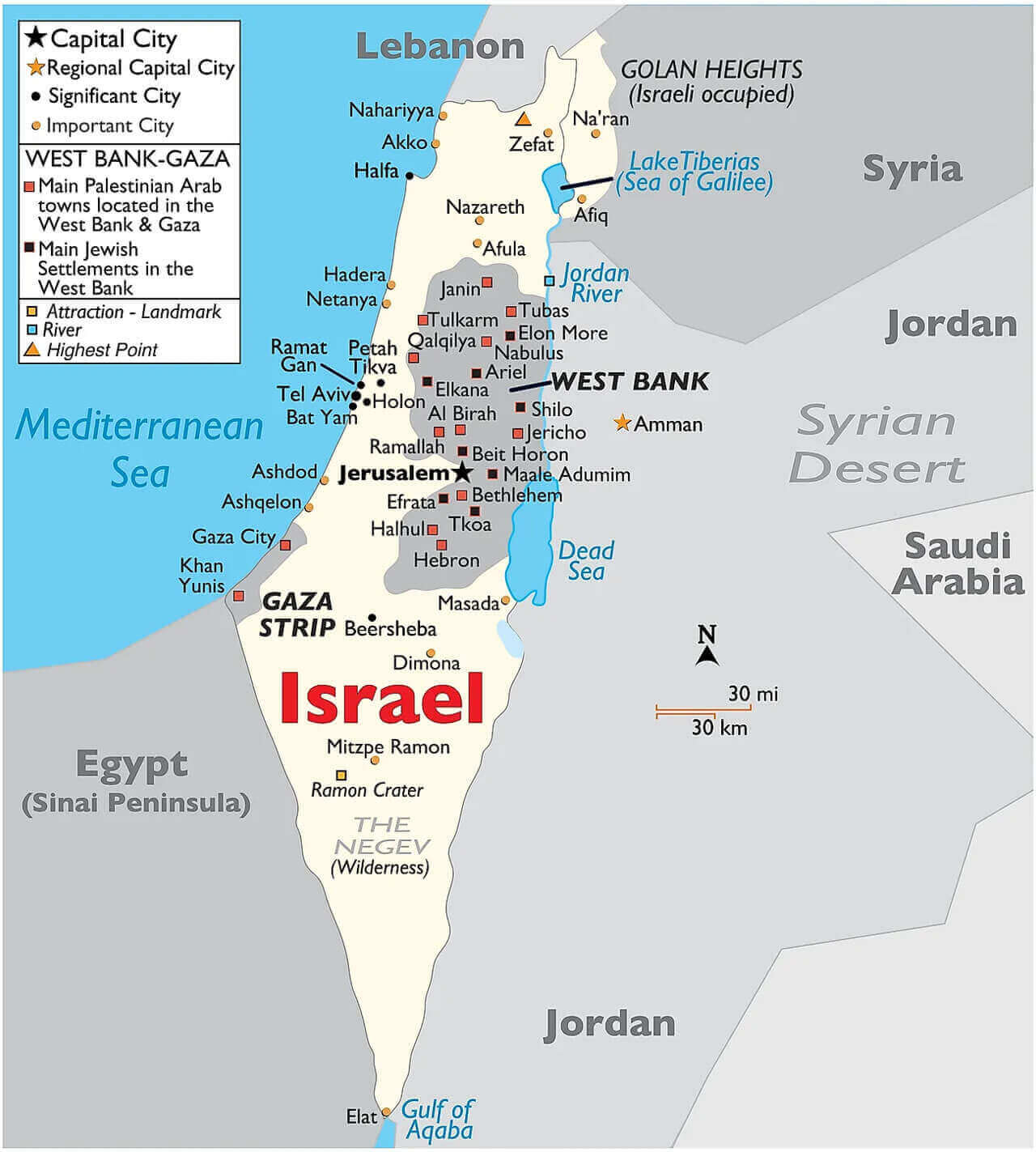
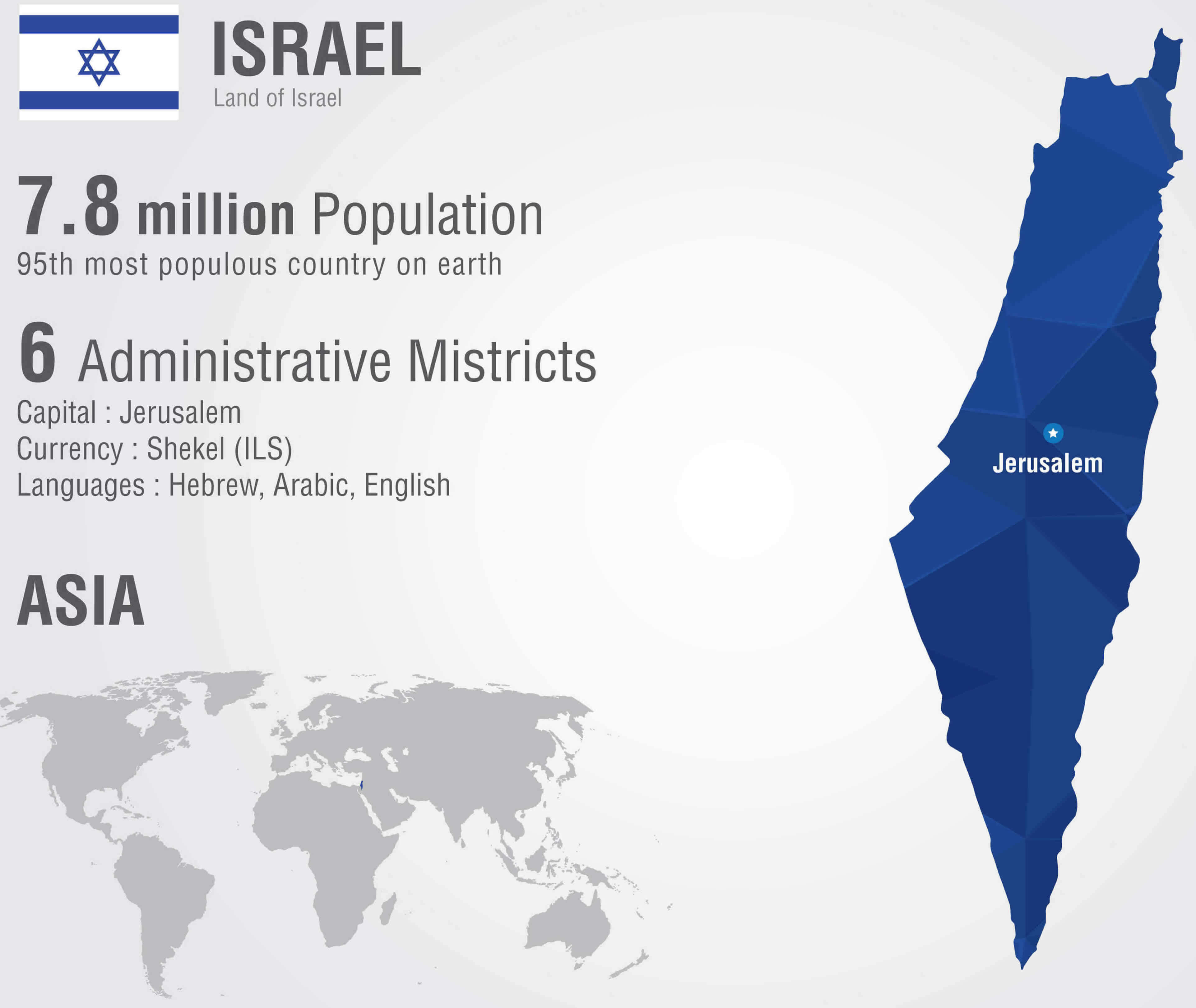
Large Israel political info map
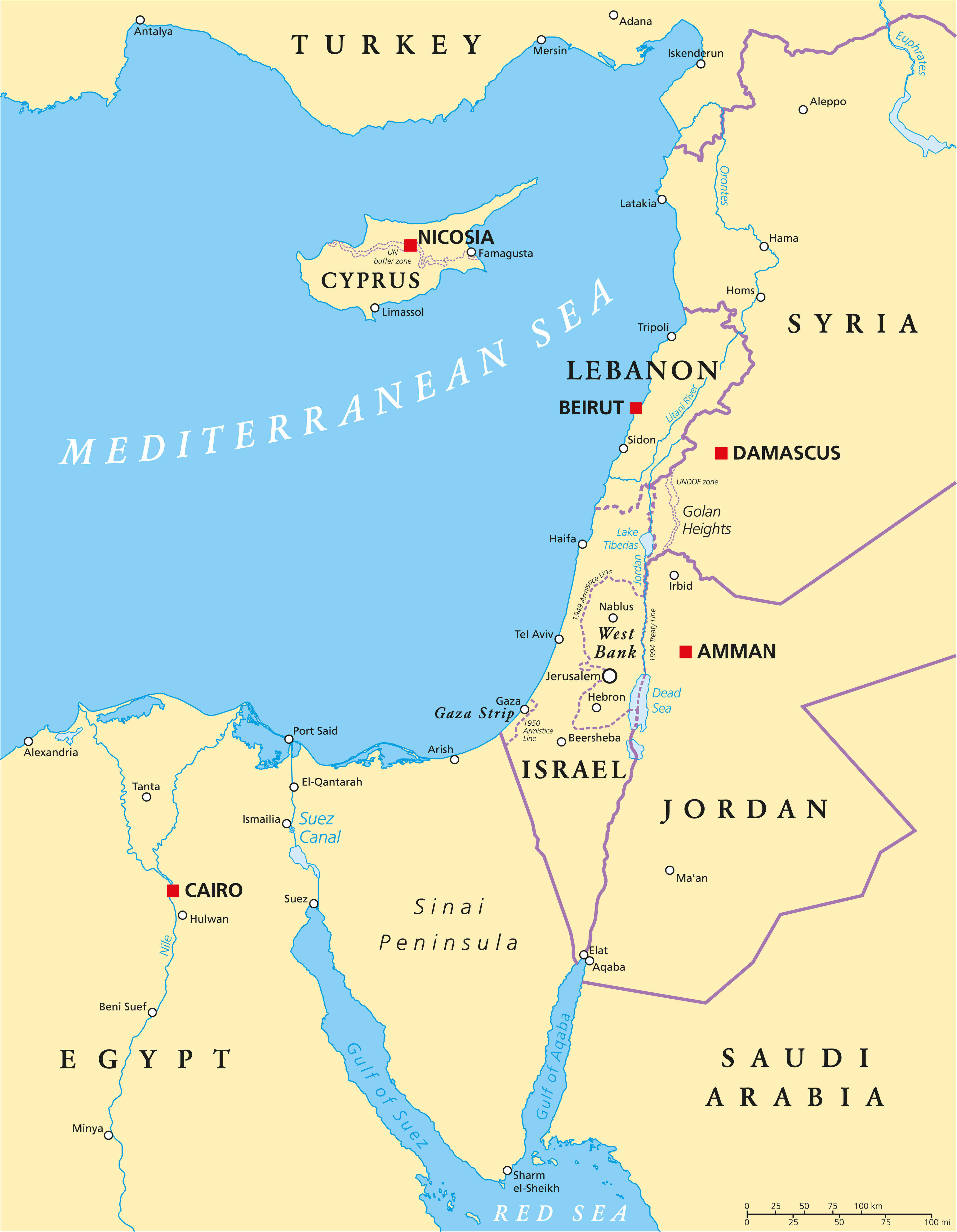
Map of Israel neighbours and occupied territories.webp
Road map of Israel
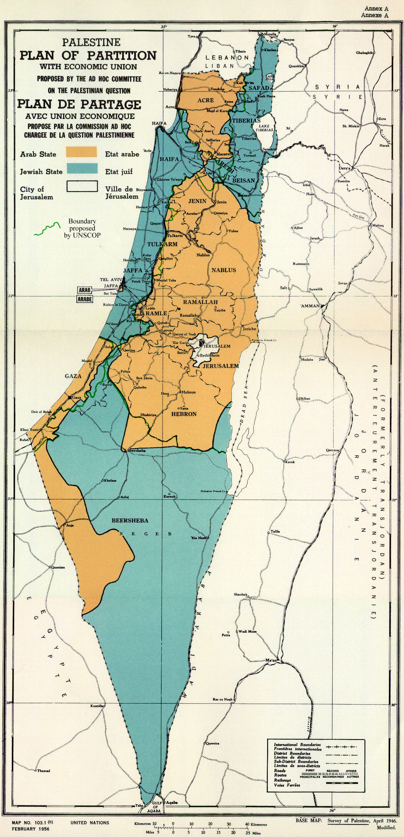
UN Israel palestine partition versions 1947
Where is Israel located on the World map
Feel free to explore these pages as well:
Feel free to explore these pages as well:
Feel free to explore these pages as well:
Author: Arif Cagrici