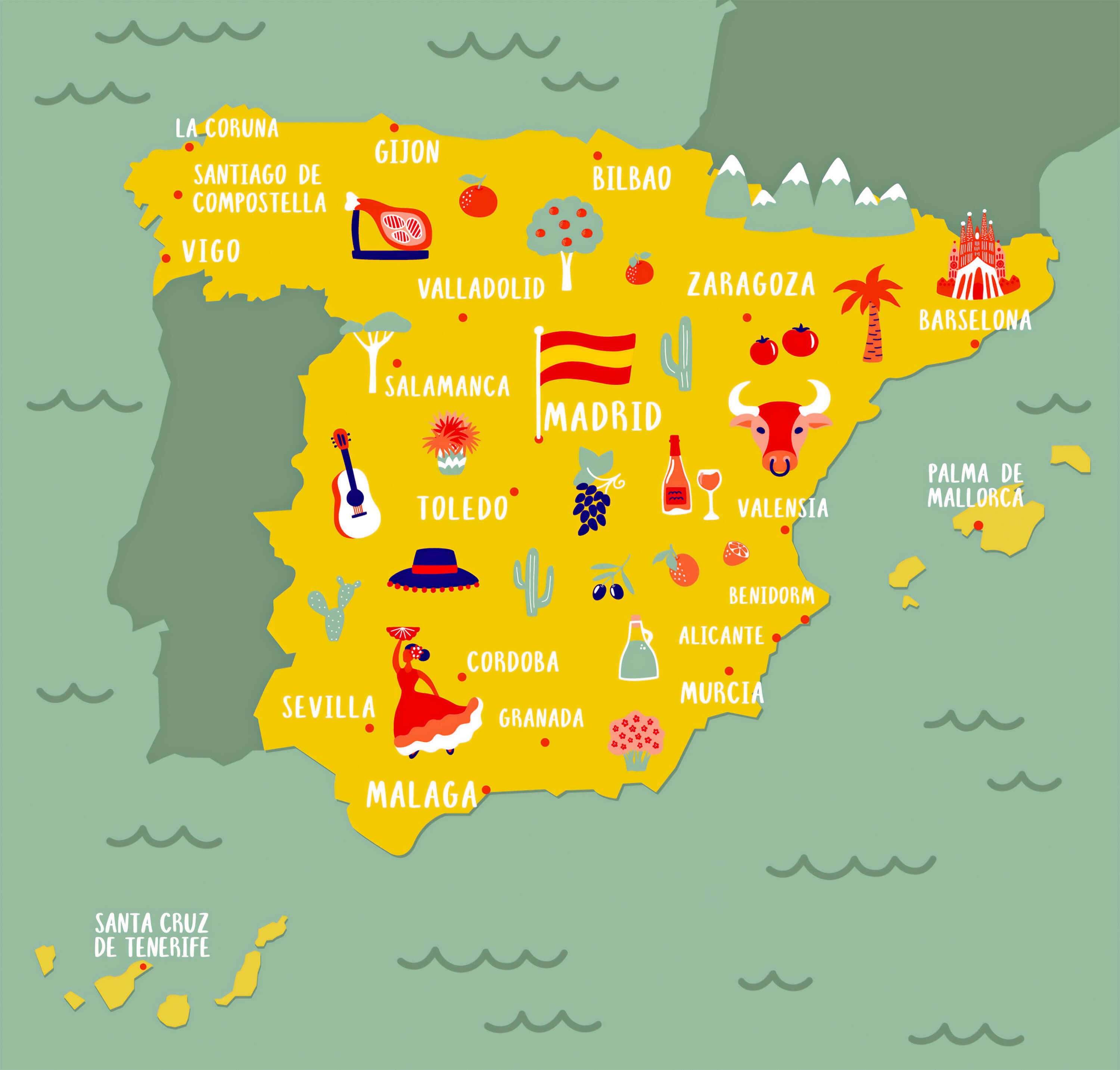
Spain Cities Map: Major Cities, Regions and Urban Centers

Spain Cities Map is a useful guide for discovering the country’s leading urban areas, regional divisions, and transport links. Maps such as a Cities Map of Spain, Spain Main Cities Map, or Spain Major Cities Map make it easy to find key destinations including Madrid, Barcelona, Valencia, Seville, Bilbao, Zaragoza, and Málaga. More detailed resources, including a Spain Map with Cities, Spain Administrative Map with Cities, and Spain Cities Map with Provinces, also help users understand how Spain’s major cities are connected to its provinces and autonomous communities.
Spain major cities map
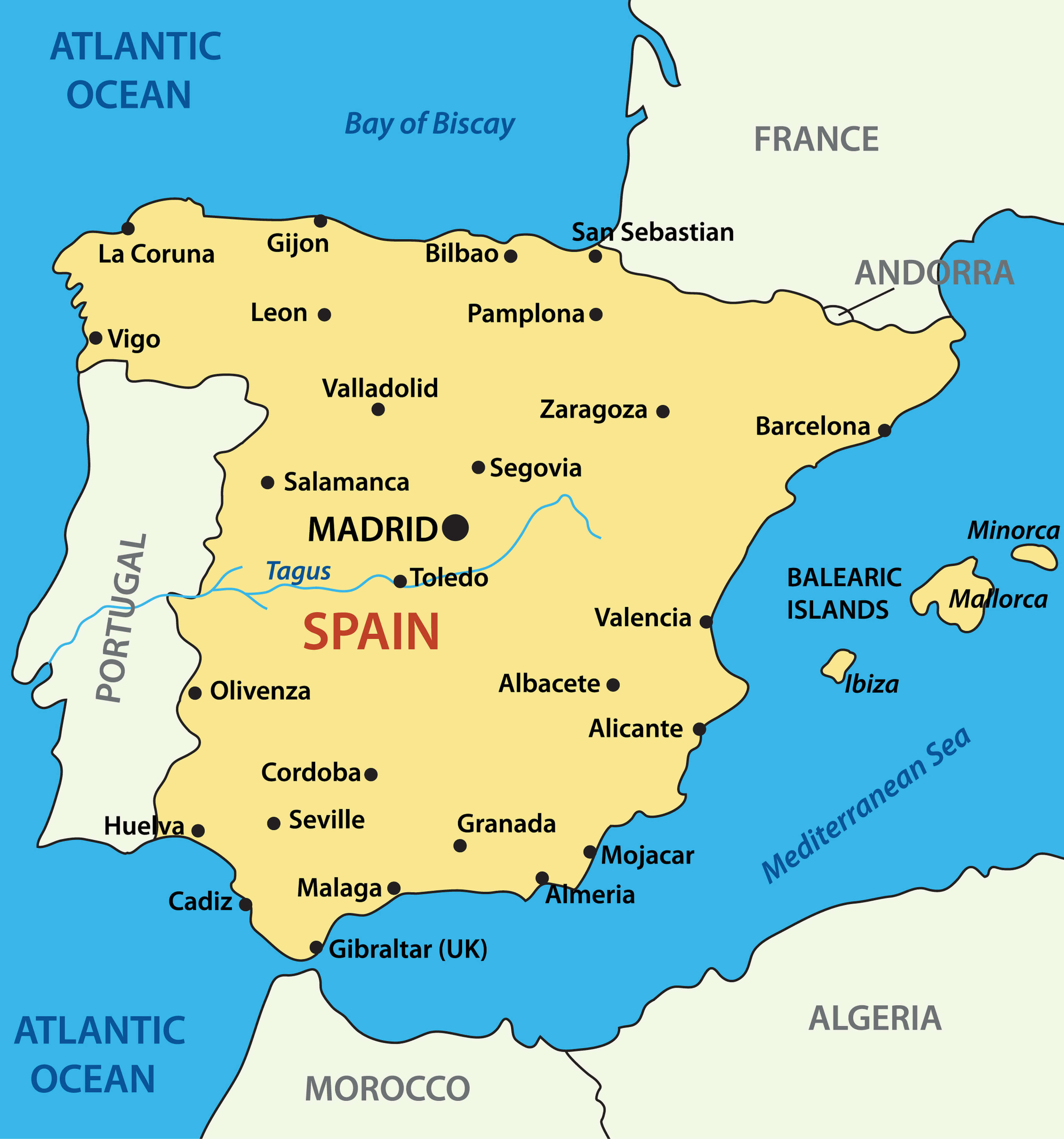
Spain location map with major cities
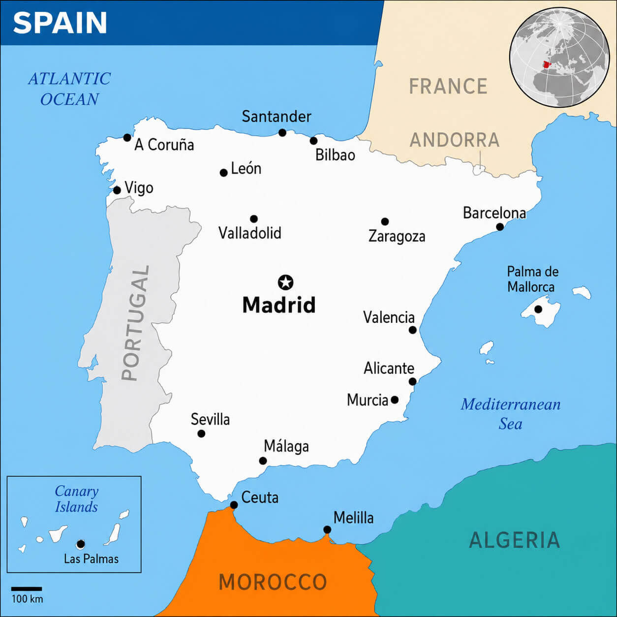
Cities map of Spain
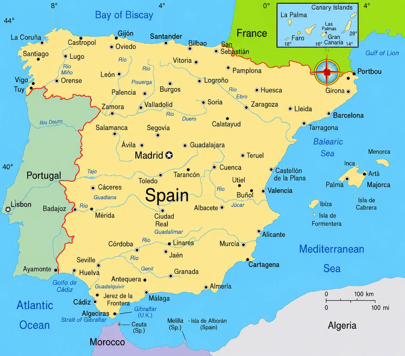
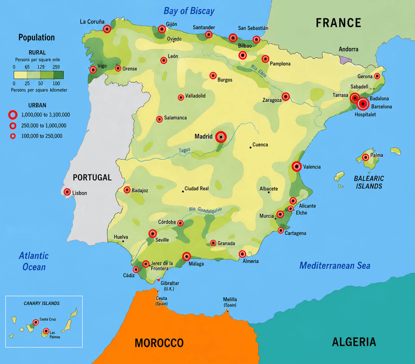
For travelers, researchers, and students, city maps also offer valuable geographic and demographic insights. A Spain Location Map with Major Cities and a Spain Highway Map with Largest Cities highlight the country's transportation network and urban accessibility, while a Spain Regions Map with Cities and Roads illustrates how major population centers are connected across the country. Additional resources such as a Spain Major Cities Map with Rivers, a Spain Population Density Map, and a Spain Tourist Attractions Map help users understand settlement patterns, tourism destinations, and regional development. Whether planning a trip or studying urban geography, a comprehensive Spain Cities Map provides an essential guide to the cities and regions of modern Spain.
Spain regions map with cities and roads
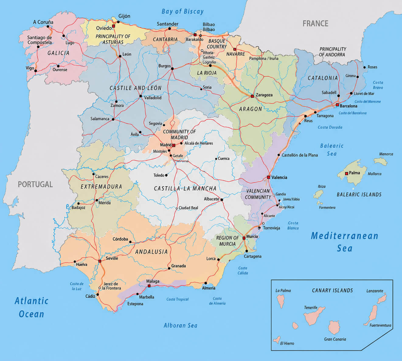
Spain administrative map with cities
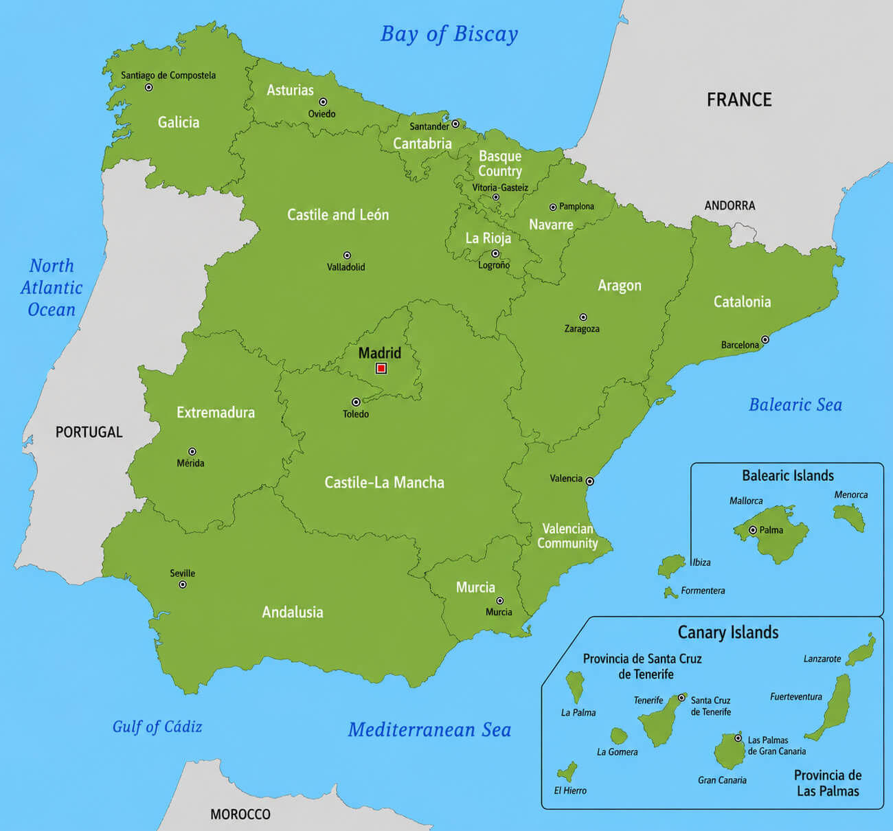
Spain cities map with provinces
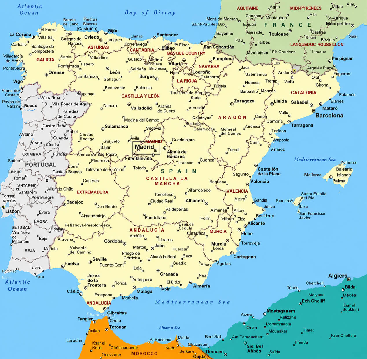
Spain country cities political map
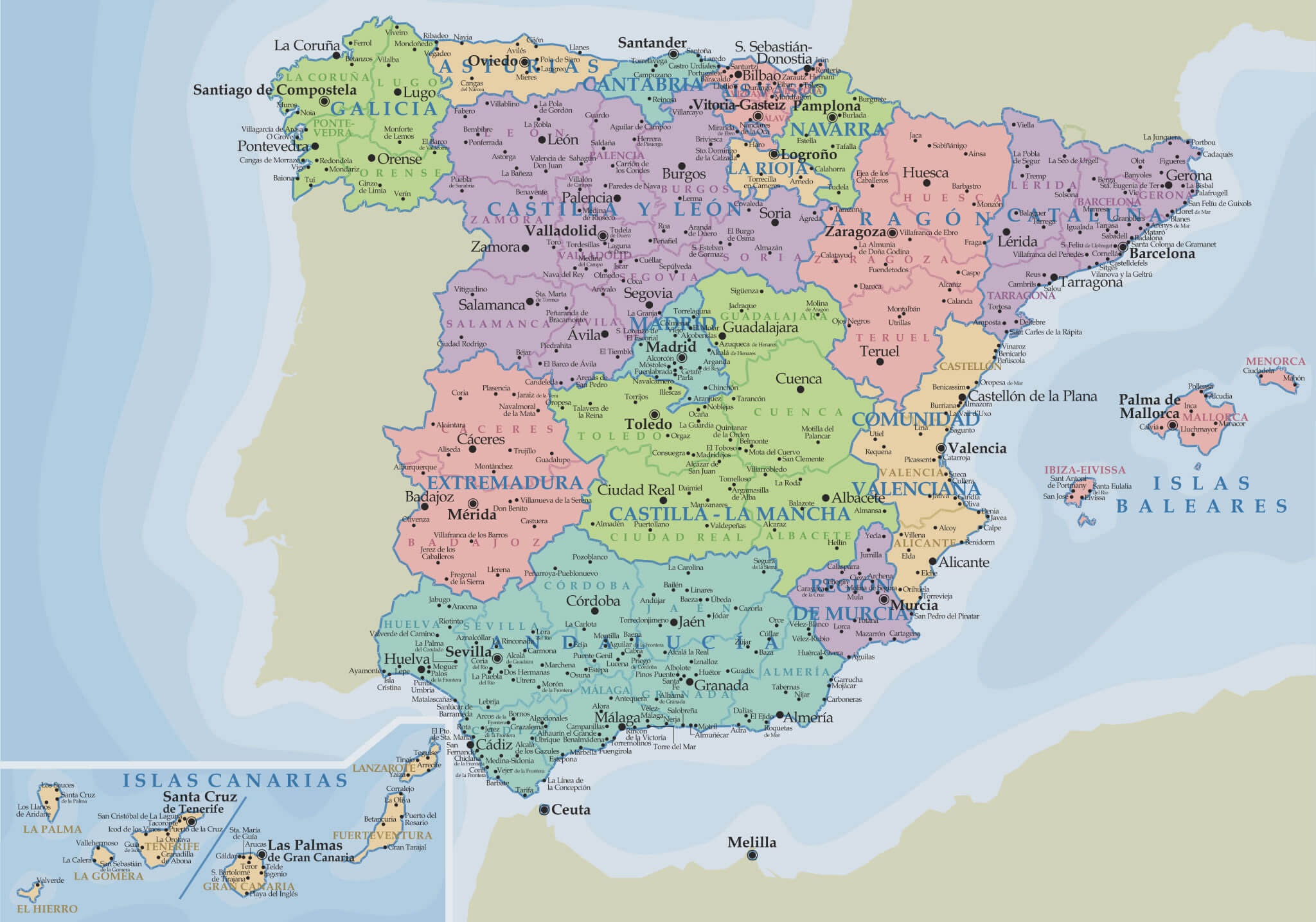
Spain highway map with largest cities
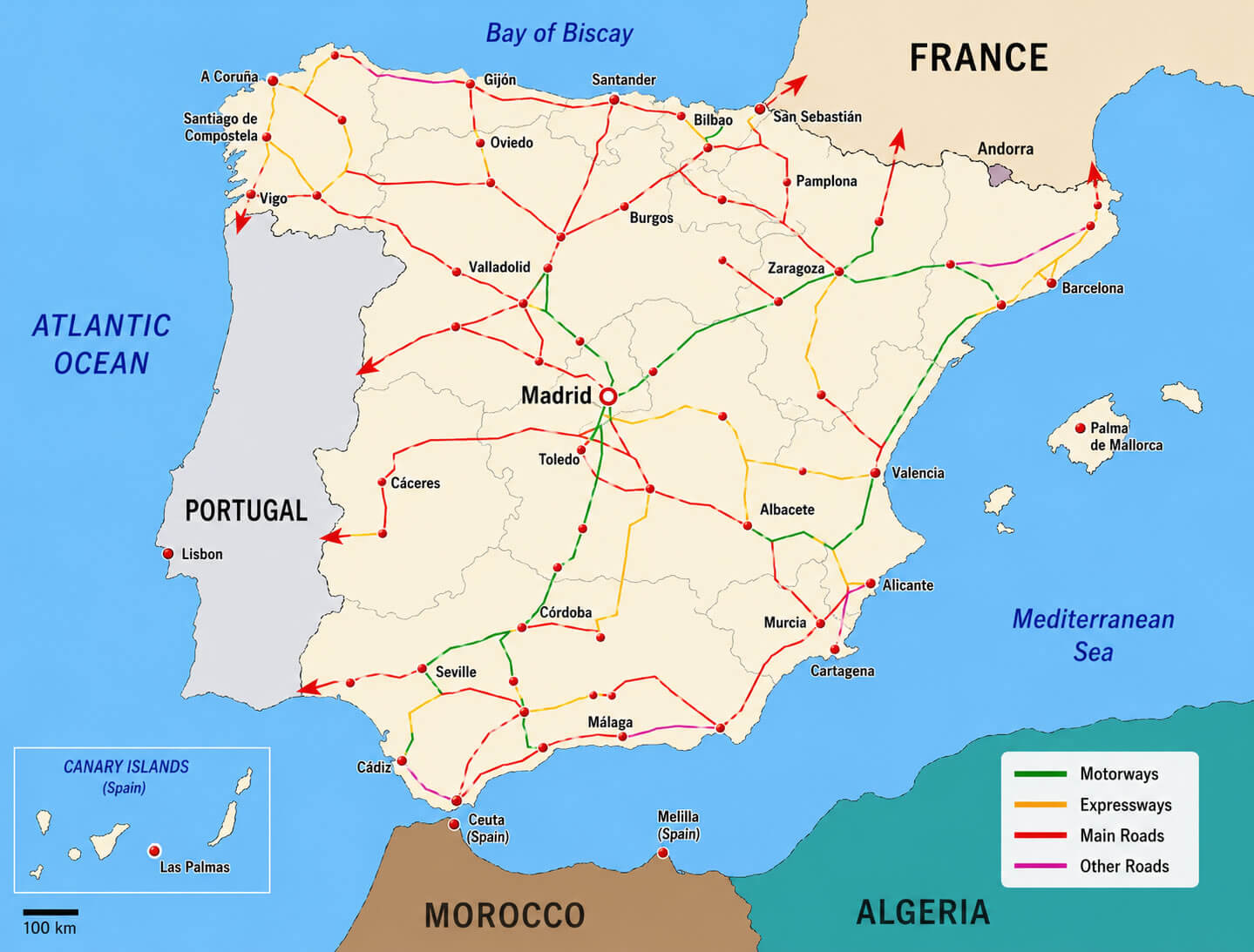
Spain main cities map
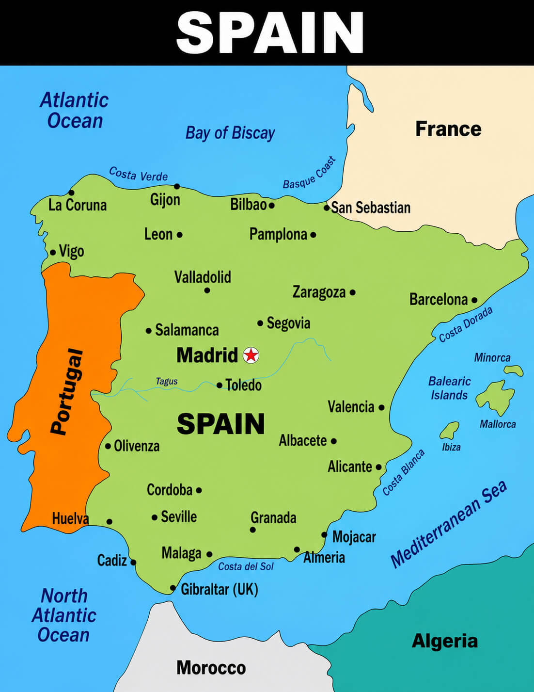
Spain major cities map with rivers
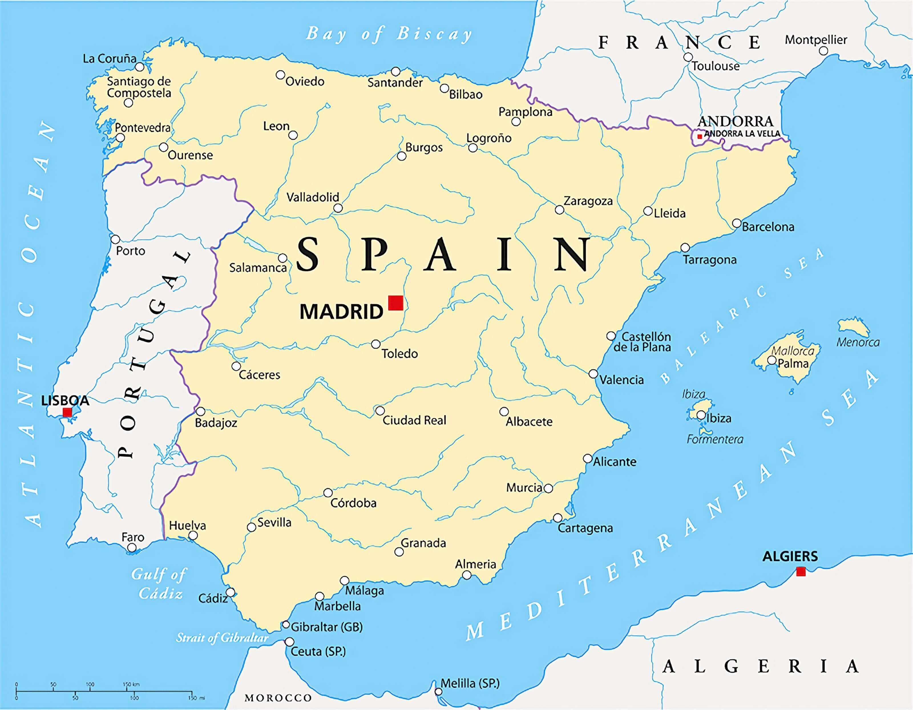
Spain map with cities
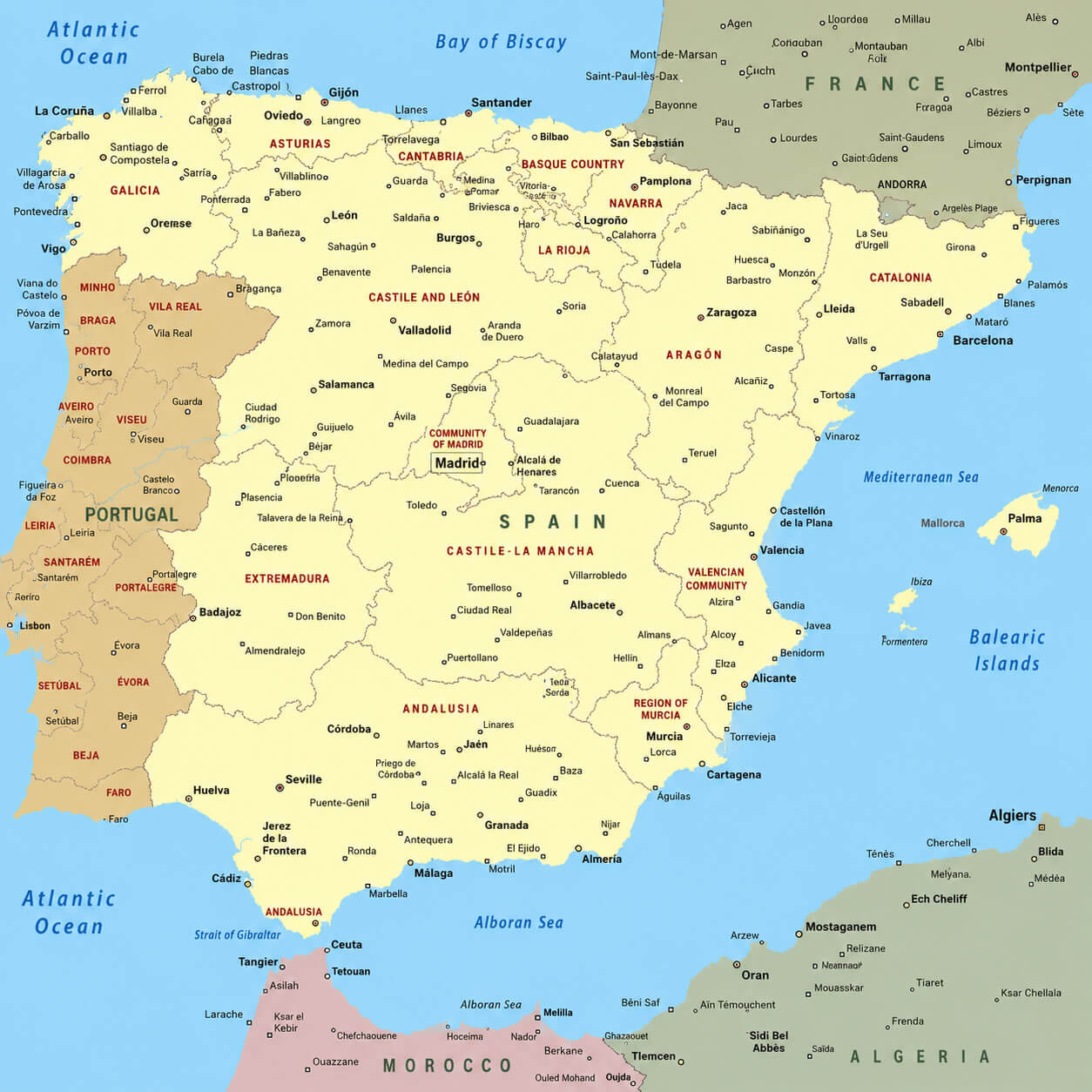
Spain population density map
Spain tourist attractions map