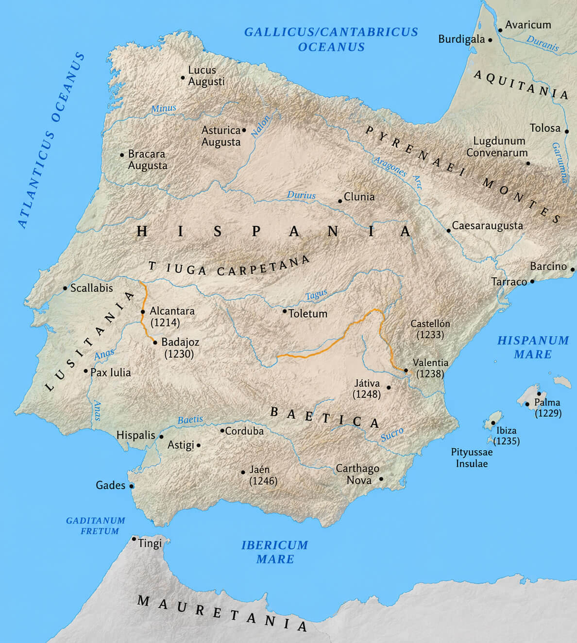
Spain Physical Map: Mountains, Rivers and Natural Features

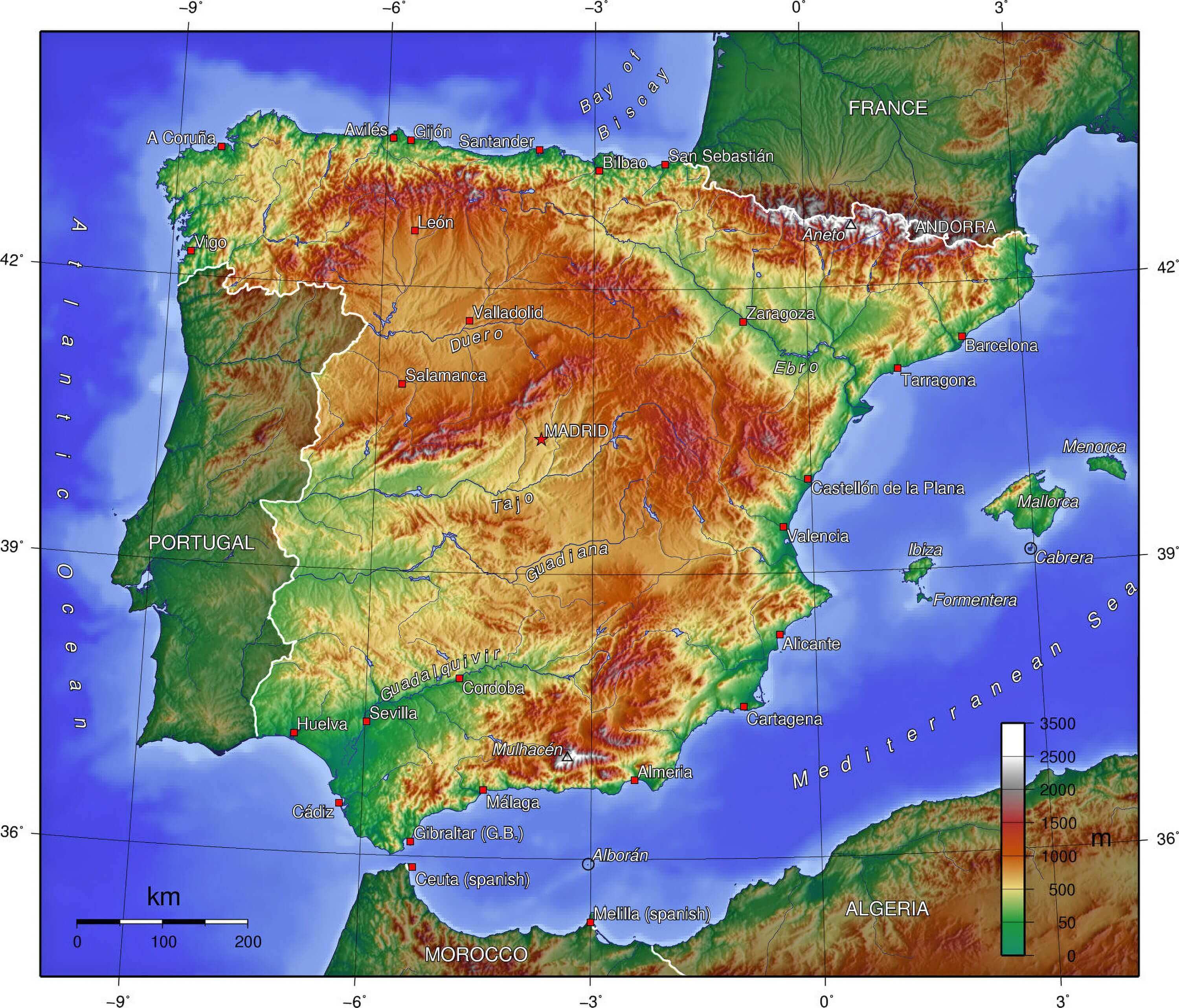
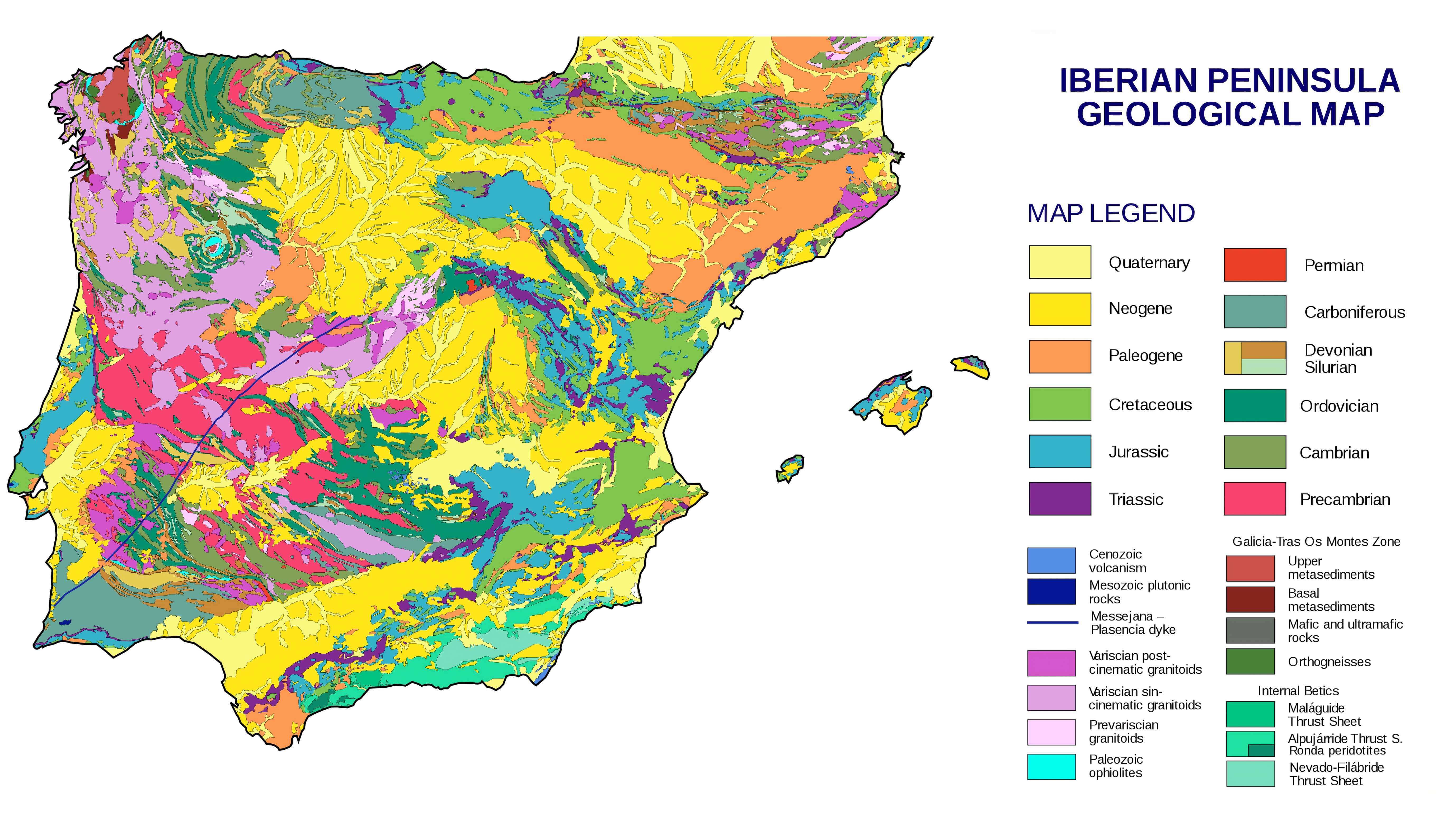
A Spain Physical Map presents a clear overview of the country’s varied terrain, including mountain ranges, river systems, plateaus, and coastal landscapes across the Iberian Peninsula. Maps such as a Detailed Geographical Map of Spain, Spain Physical Relief Map, and Spain Topographic Map help users identify major natural features, including the Pyrenees, Meseta Central, Sierra Nevada, and the Ebro, Tagus, and Guadalquivir rivers. A Spain Geographical Map with Main Roads also shows how transportation routes interact with the country’s physical landscape, while a Spain Geological Map offers deeper insight into Spain’s rock formations, landforms, and geological development.
Physical map of Spain
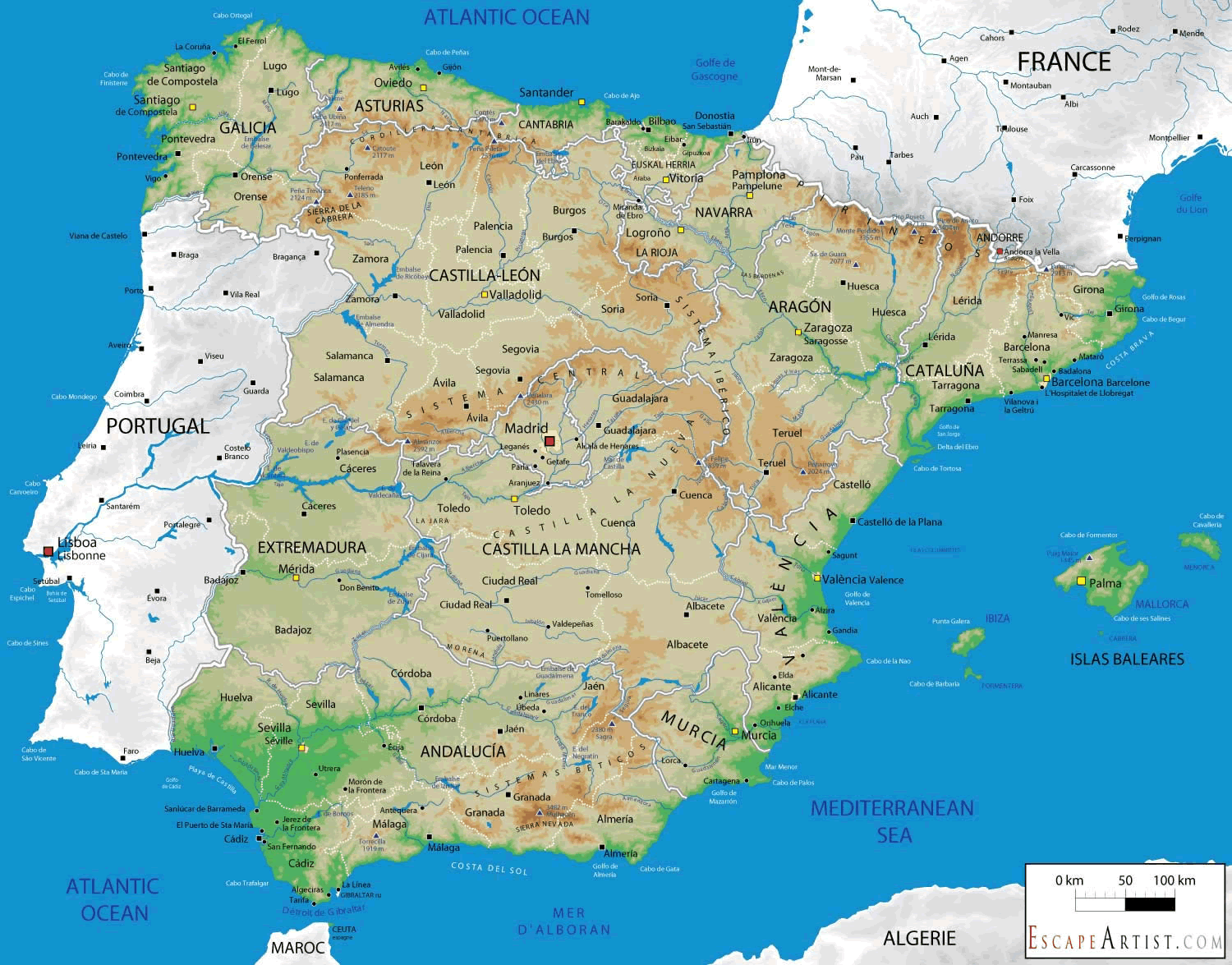
Spain physical map
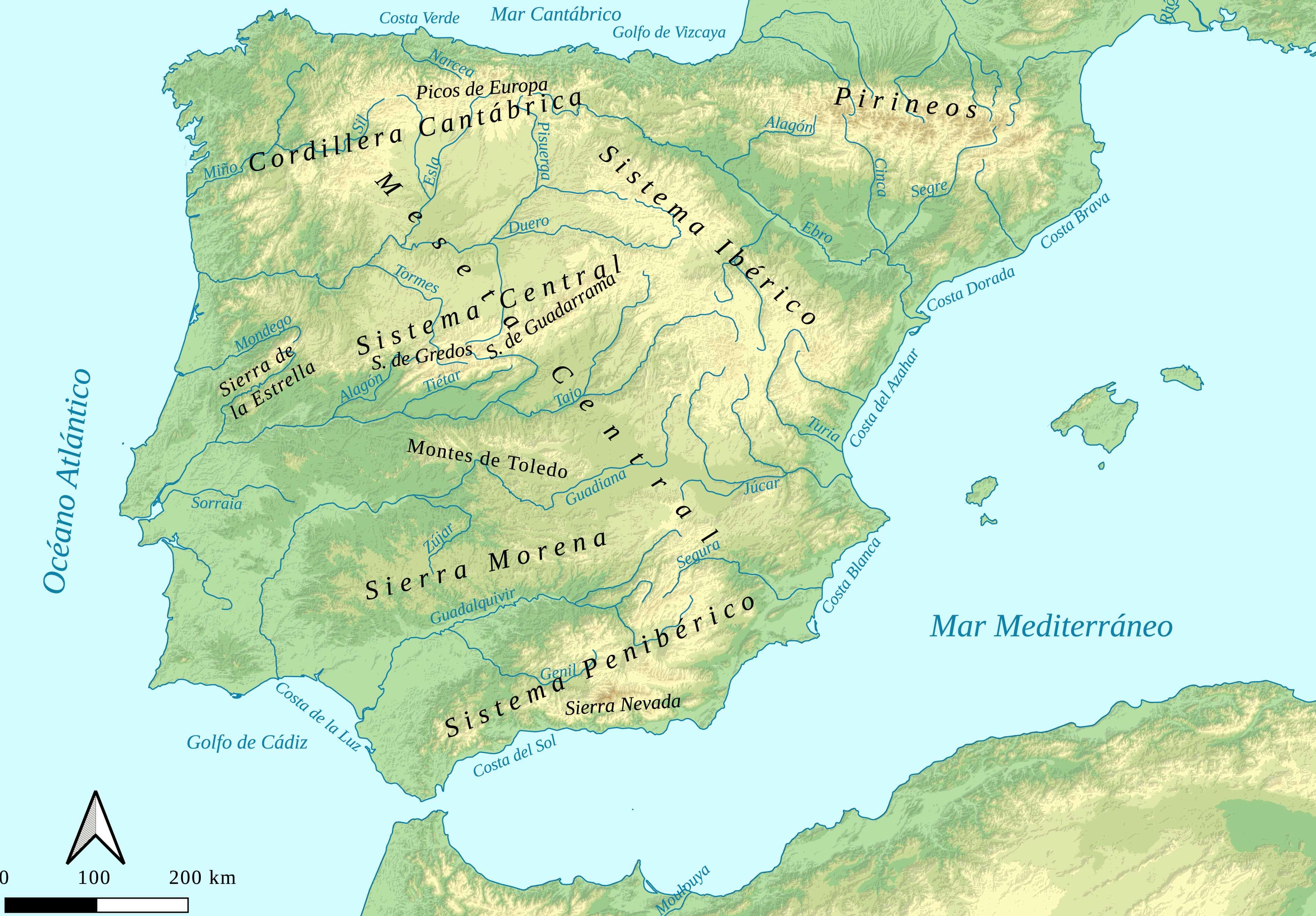
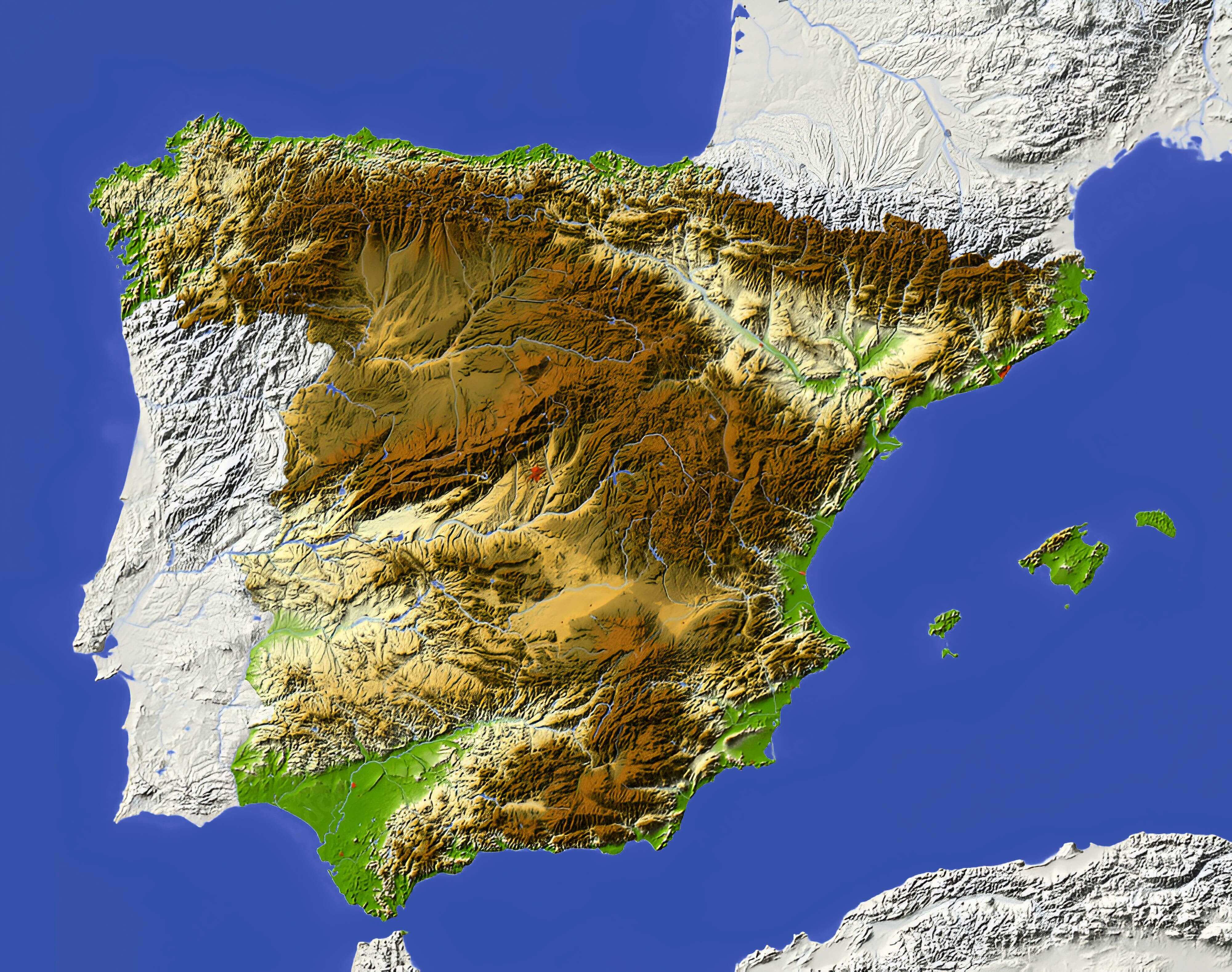
Spain physical relief map
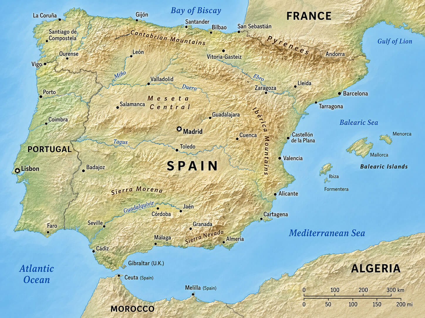
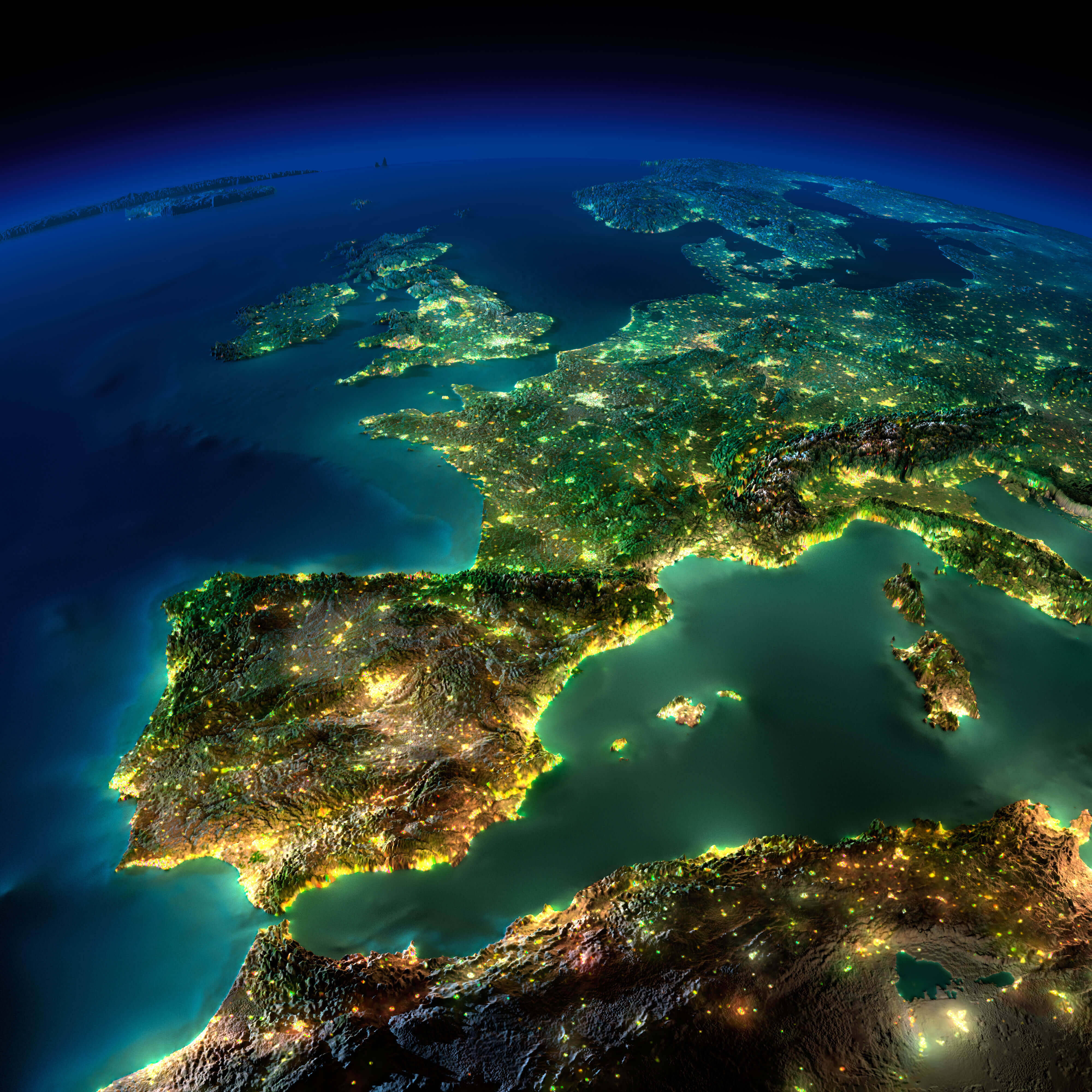
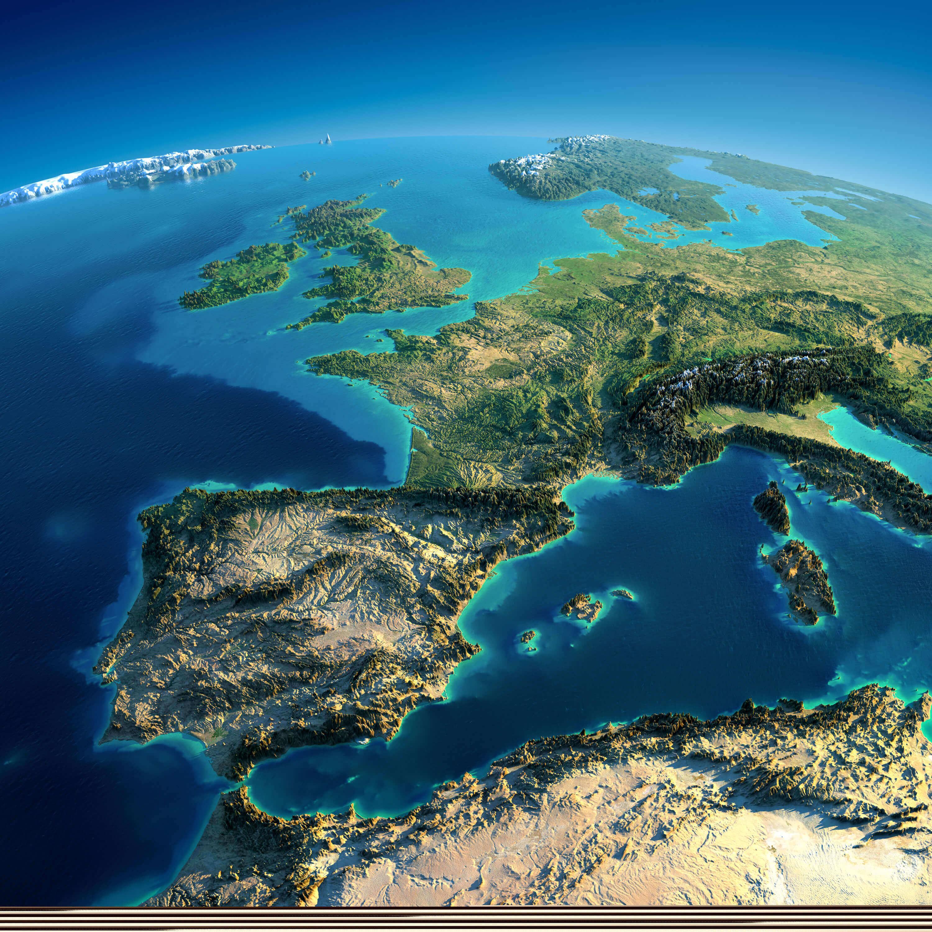
Modern mapping resources such as a Satellite Map of Spain, Spain Earth Satellite Map, and Spain Satellite Image Map provide high-resolution views of Spain's landscapes from space. A Spain Europe Satellite Map places the country within its broader continental context, while a Spain Mediterranean Satellite Map highlights Spain's long Mediterranean coastline and surrounding seas. For users interested in elevation and terrain, a Spain Relief Map, Spain Topographic Relief Map, and Spain Topography Map clearly illustrate variations in altitude and landforms across the country. Combined with a Spain Physical Map and a Spain Provinces Map, these maps provide a comprehensive understanding of Spain's natural environment, regional geography, and physical characteristics.
Spain earth satellite map
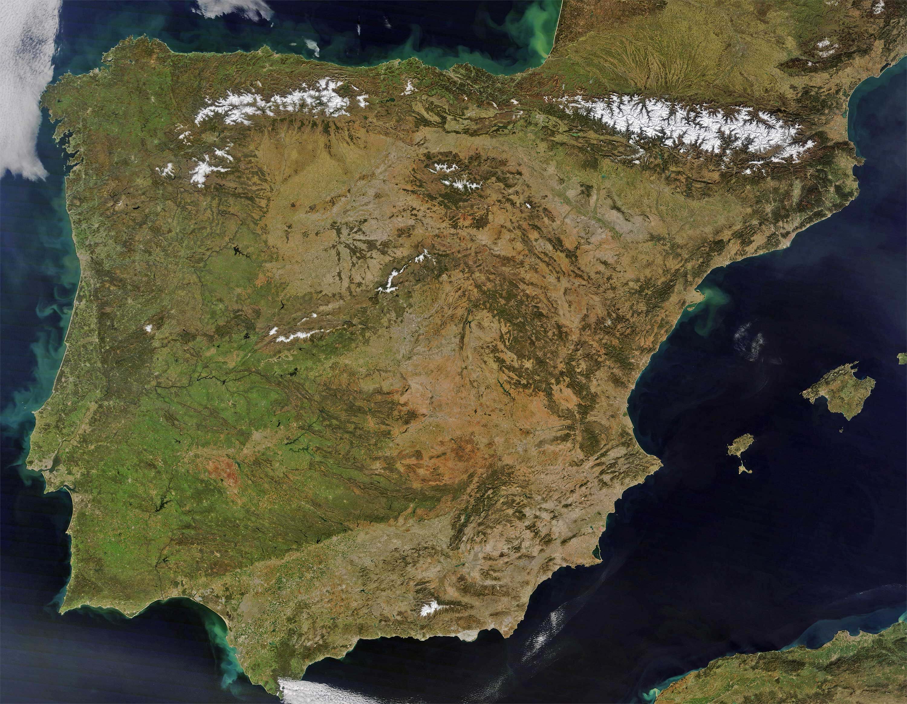
Spain geographical map with main roads
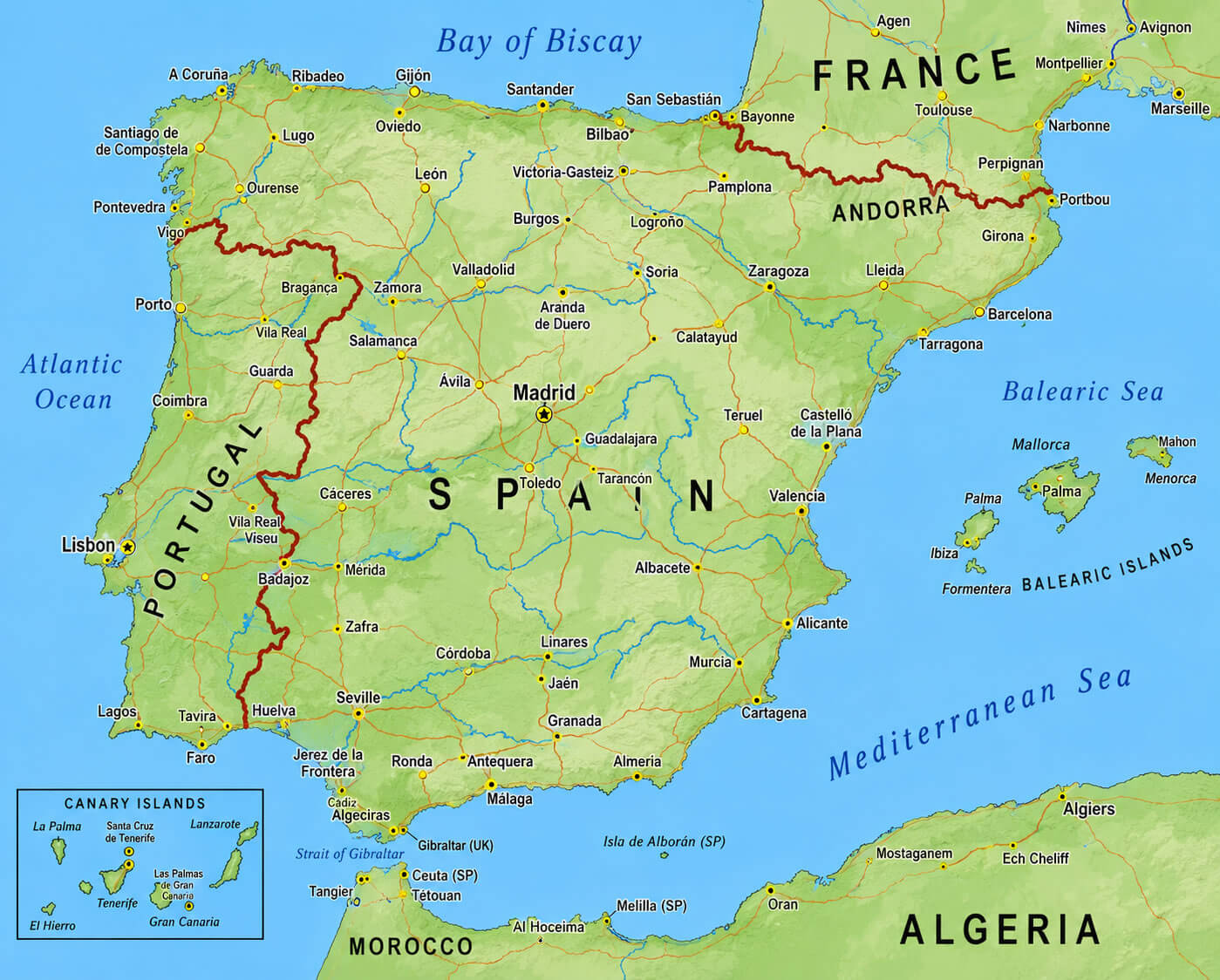
Detailed geographical map of Spain
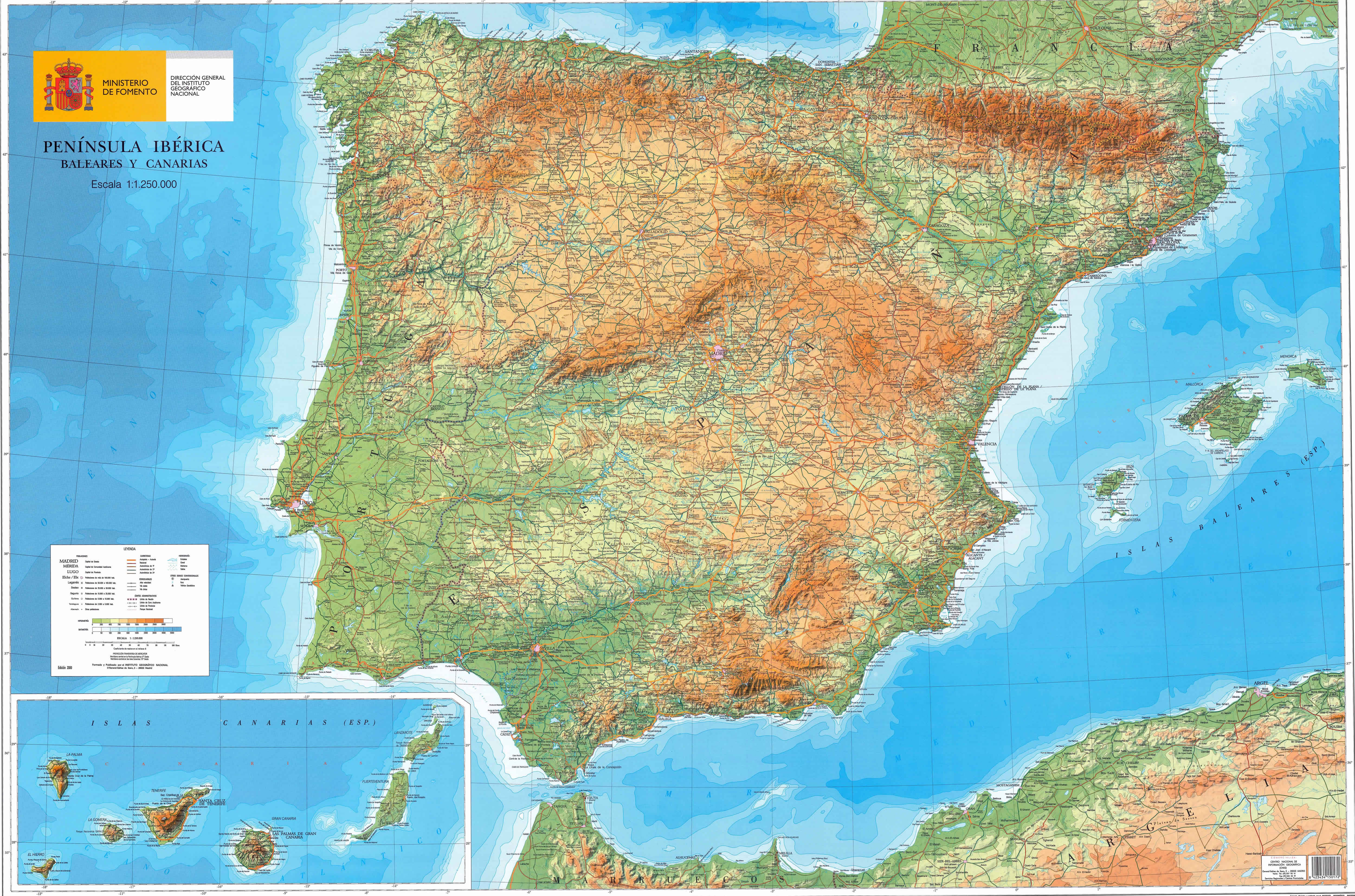
Satellite map of Spain
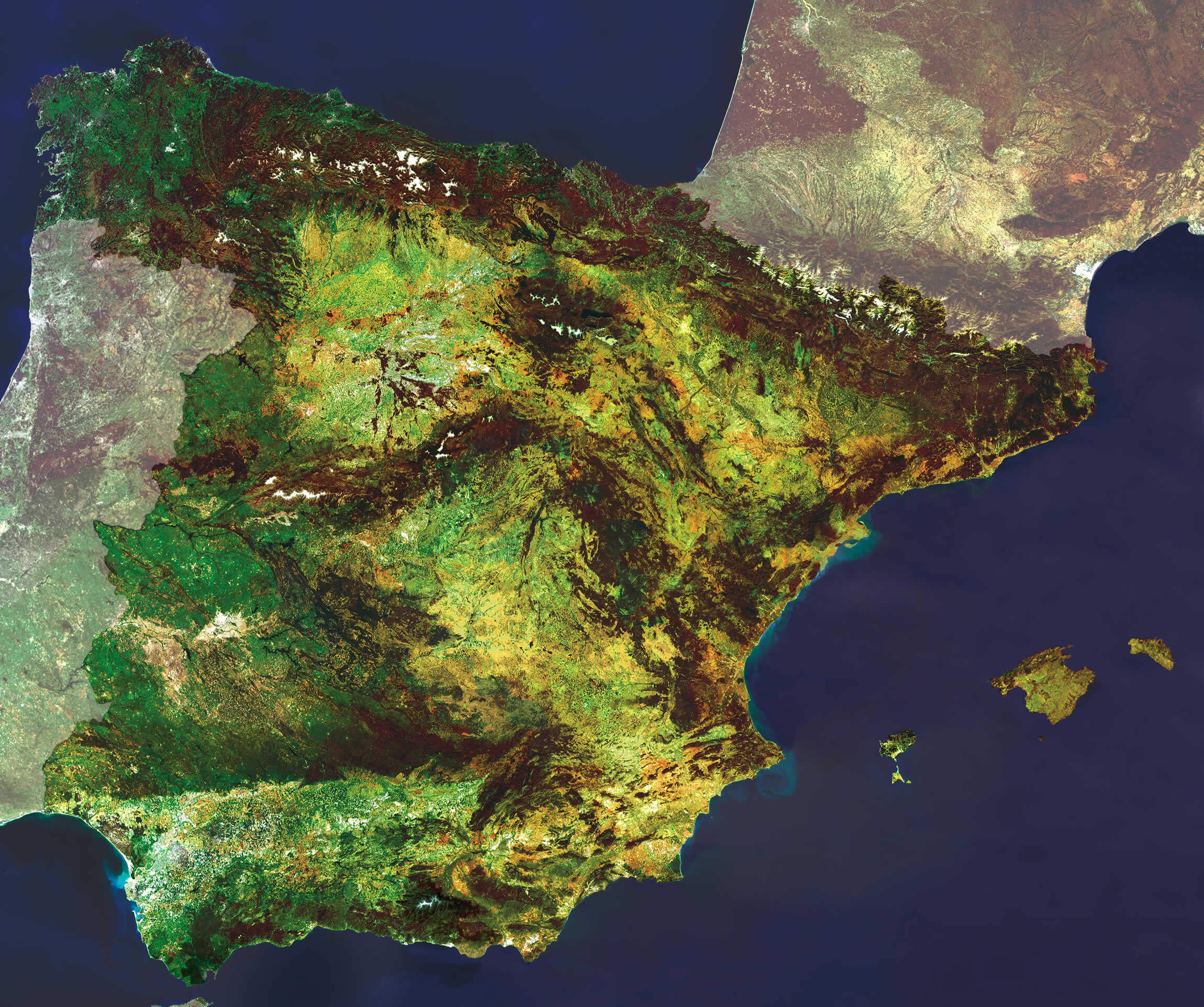
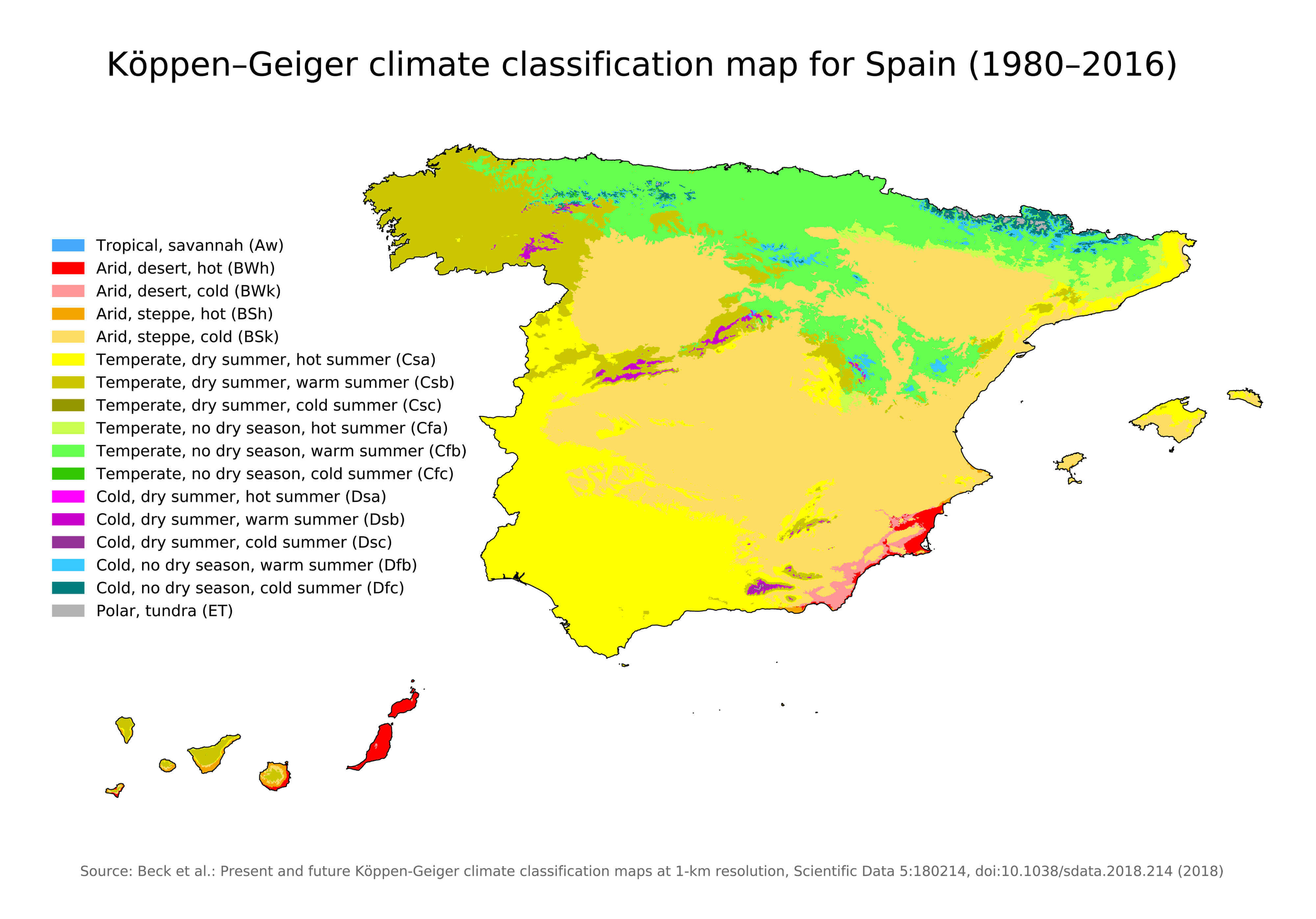
Spain climate map
Spain europe satellite map
Spain geographical map
Spain geological map
Spain Mediterranean satellite map
Spain relief map
Spain satellite image map
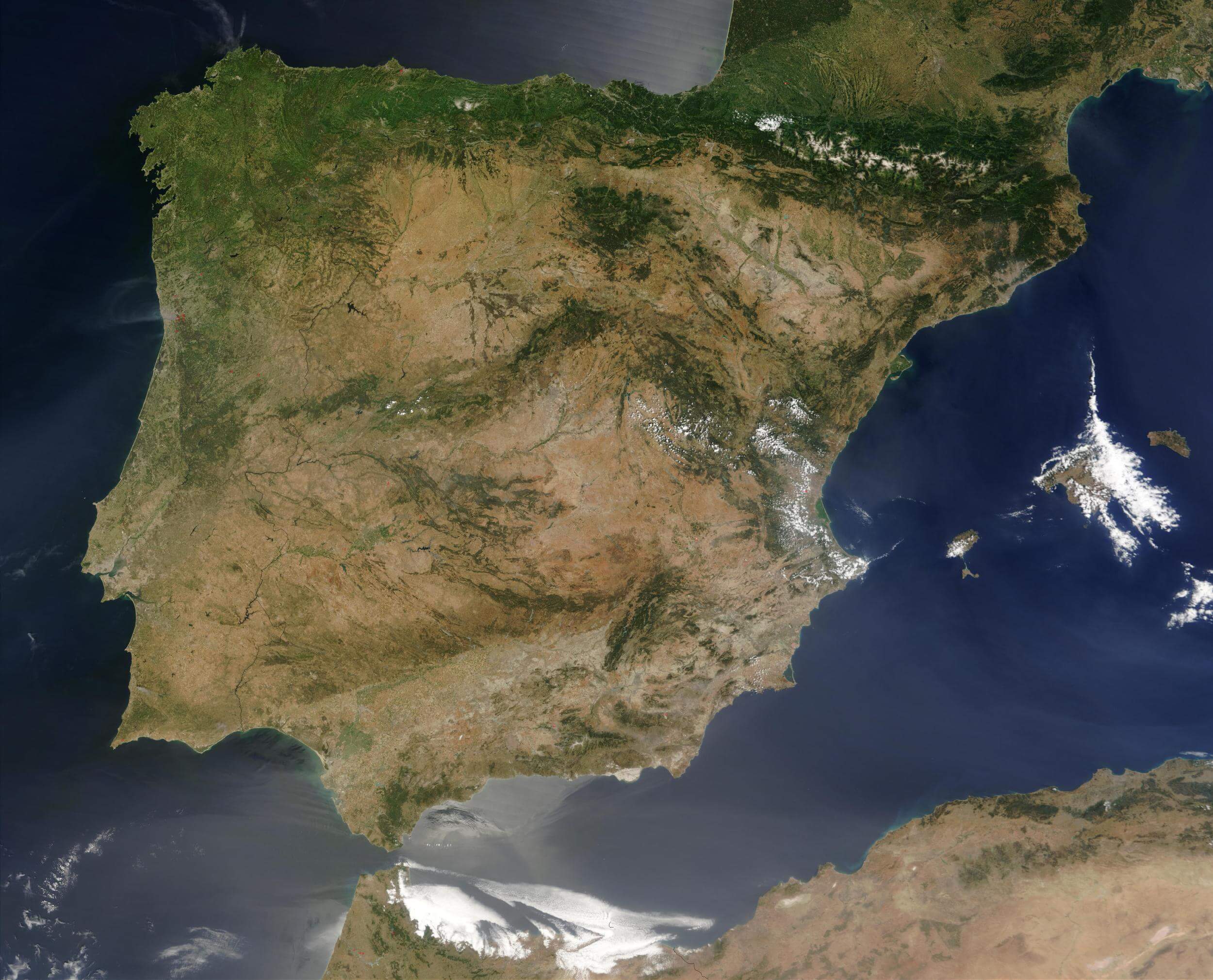
Spain satellite map
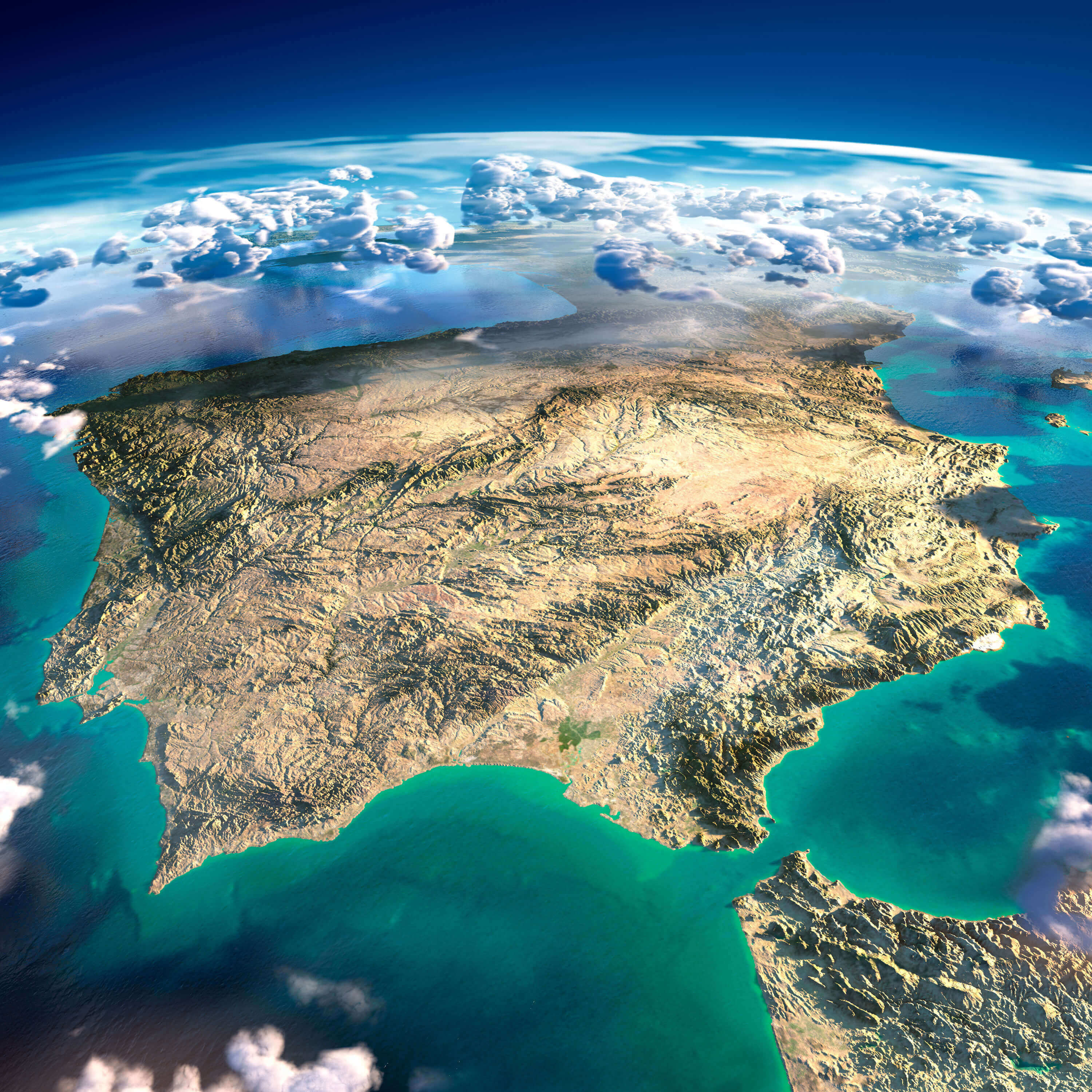
Spain topographic map
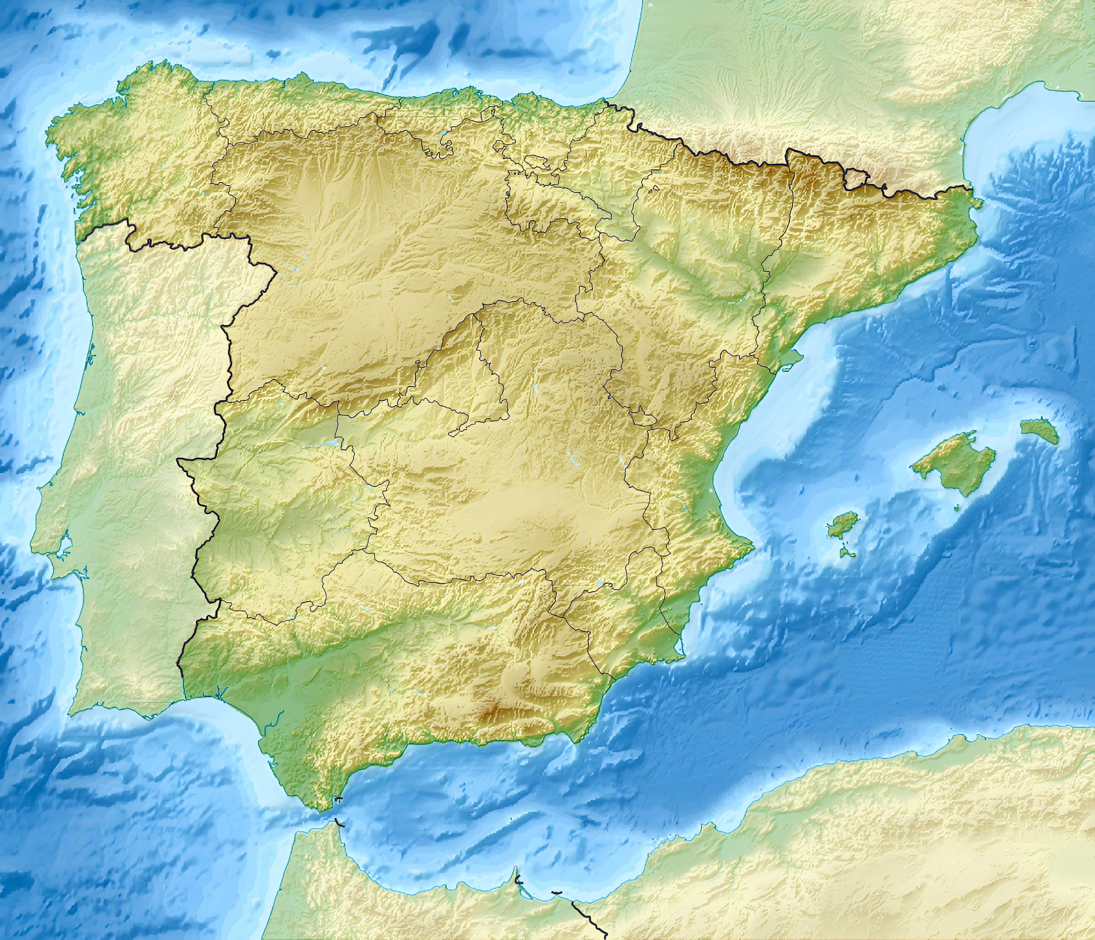
Spain topographic relief map