World Historical Maps: Ancient History, Political, Physical and Blank World Maps Collection
Explore our extensive collection of World Maps, featuring a wide variety of historical, political, economic, and geographical maps designed for students, travelers, researchers, and geography enthusiasts. This collection includes World Climate Maps, World Colonial Maps from 1810, World Colonization Maps (1600–1700), World Continents Blank Maps, and World Continents Political Maps, helping users better understand global climate patterns, historical empires, continental divisions, and political boundaries. Whether you are looking for a World Countries Map for education or a World Continents Map with Countries for global reference, our collection provides reliable and detailed resources.
World Historical Map 1570
.jpg)
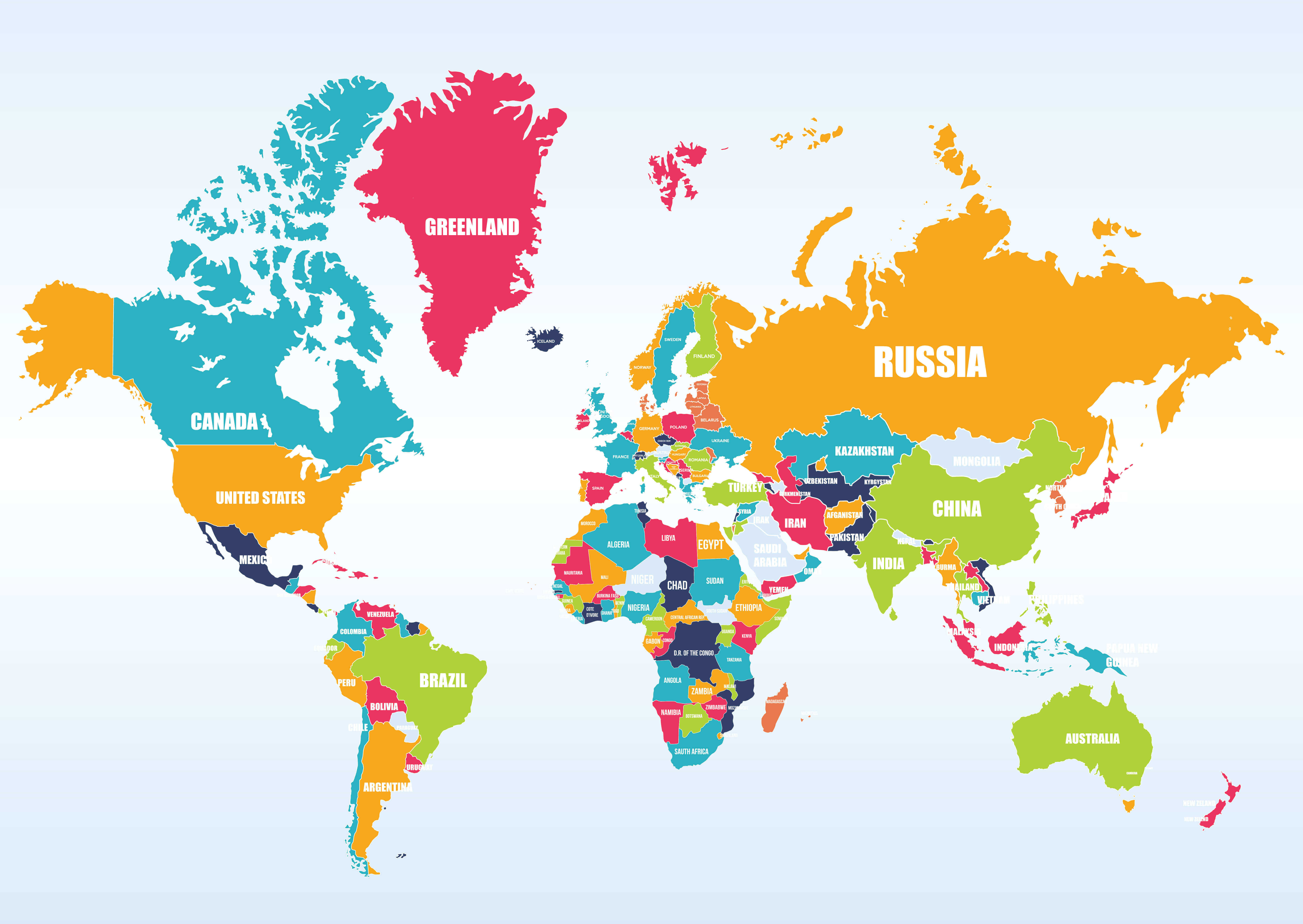
World Map Countries
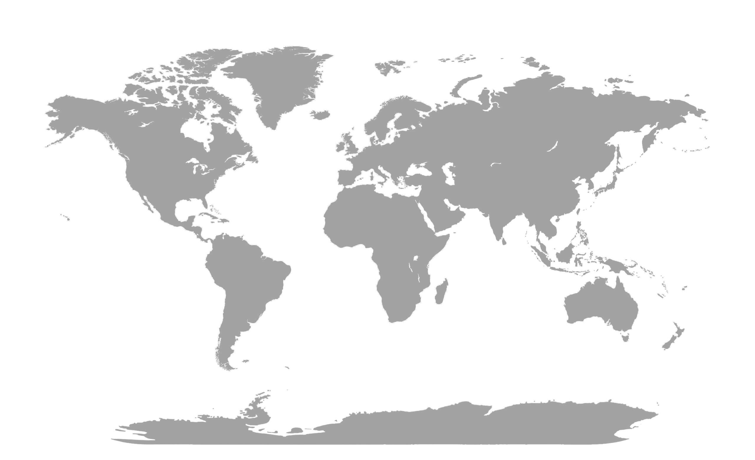
World Gray Blank Map
Discover specialized world maps such as the World Countries GDP Per Capita Map 2023, World Domain Extensions Map, World Earth Satellite Map, World Flag Map, and World Geological Map, offering valuable insights into global economies, digital regions, satellite imagery, national identities, and geological formations. From historical colonization routes to modern political and economic analysis, this map collection serves as a comprehensive source for learning, research, travel planning, and exploring the world from different perspectives.
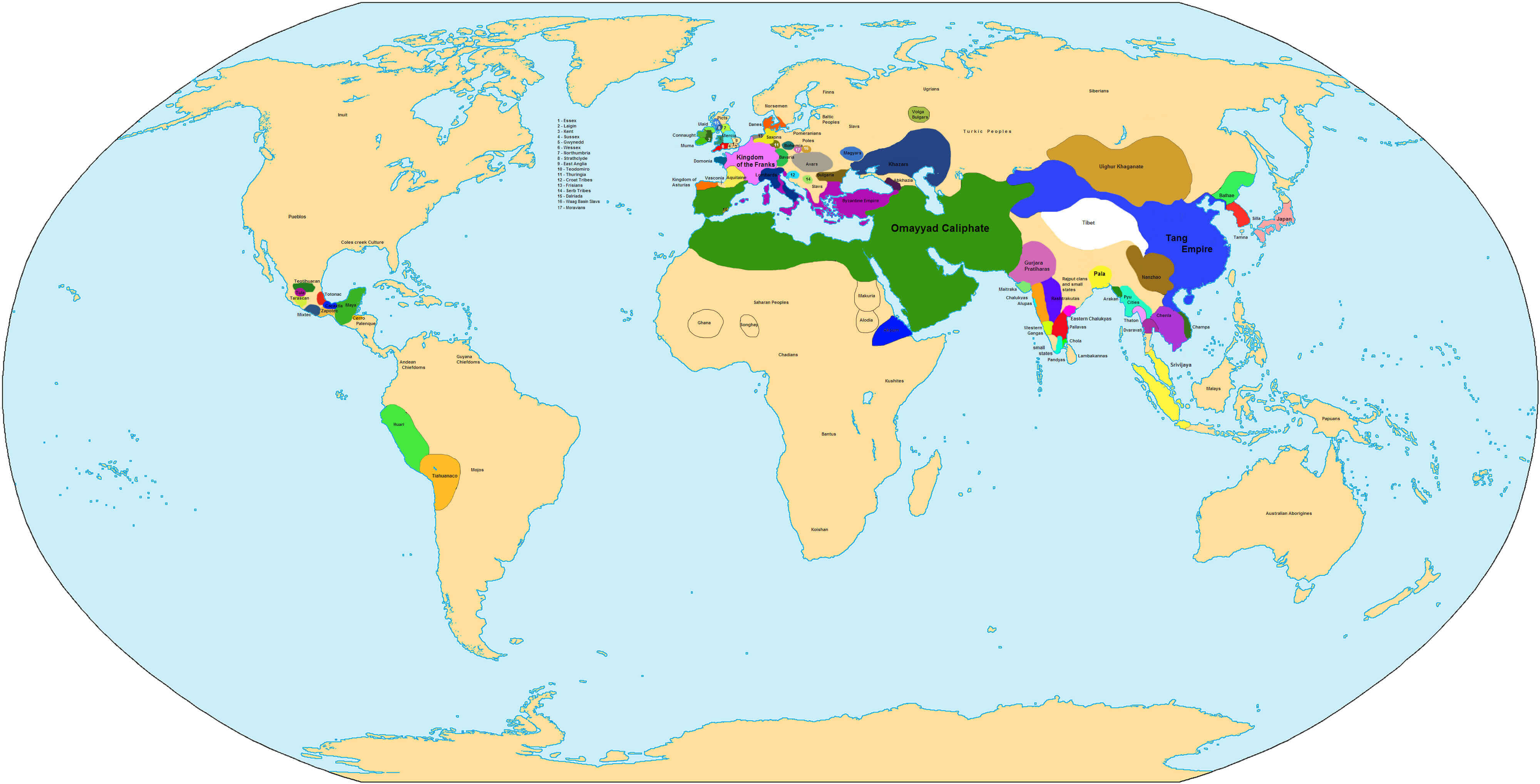
World Historical Map In 750
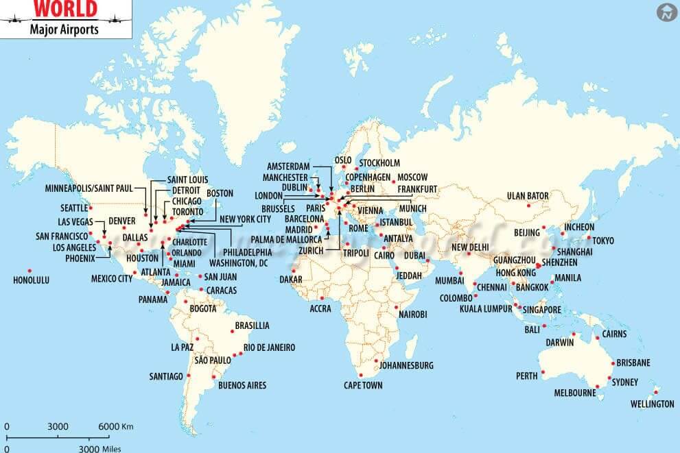
World Major Airports Map
World Map Collection
World Map
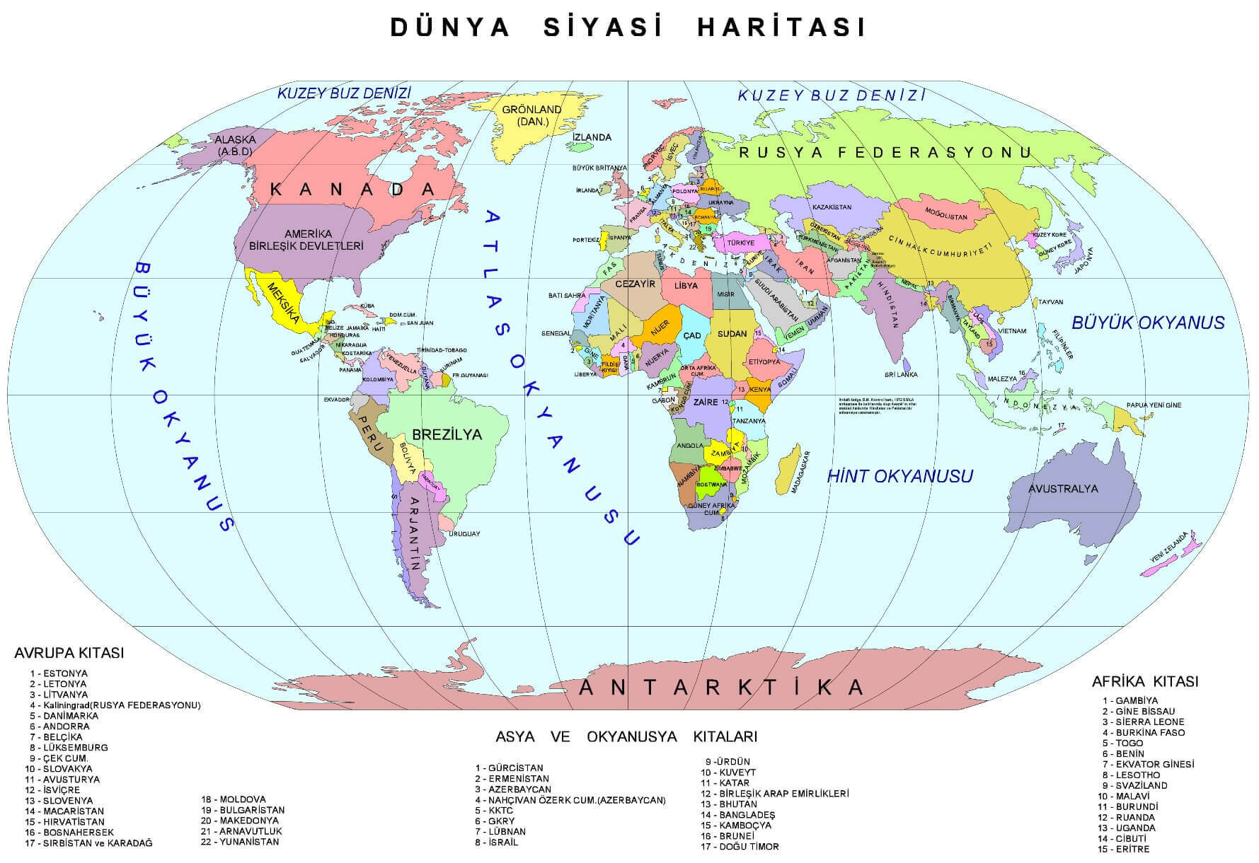
World Political Map Turkish
World Maps

World Map With Countries
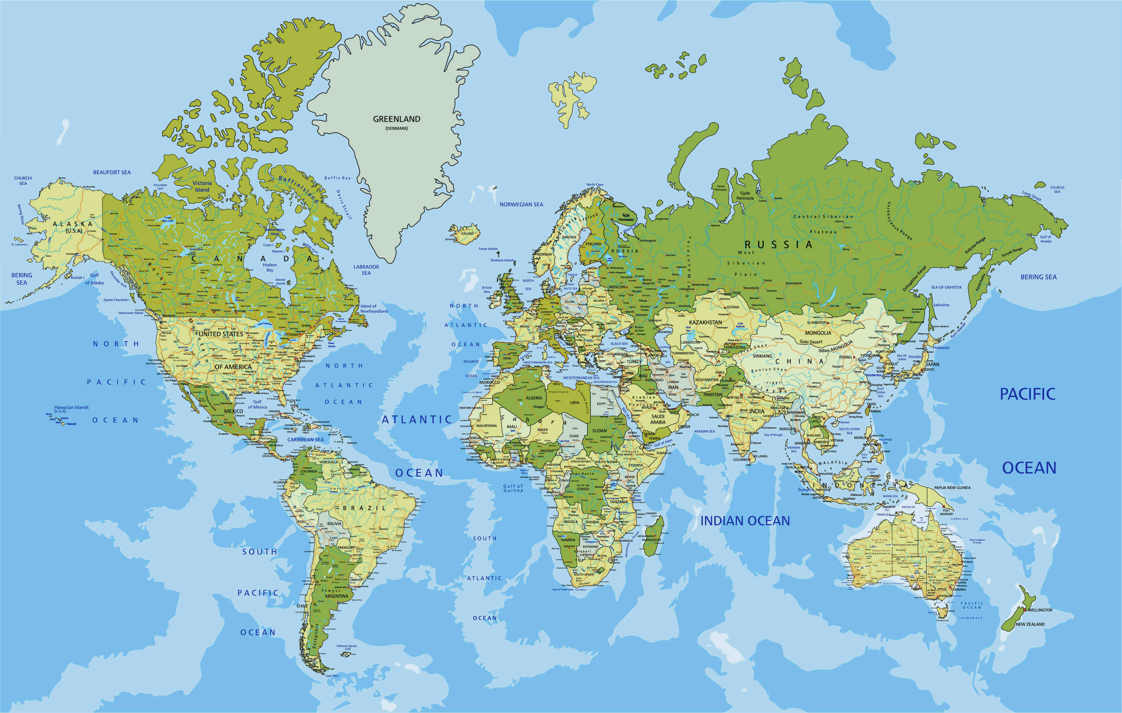
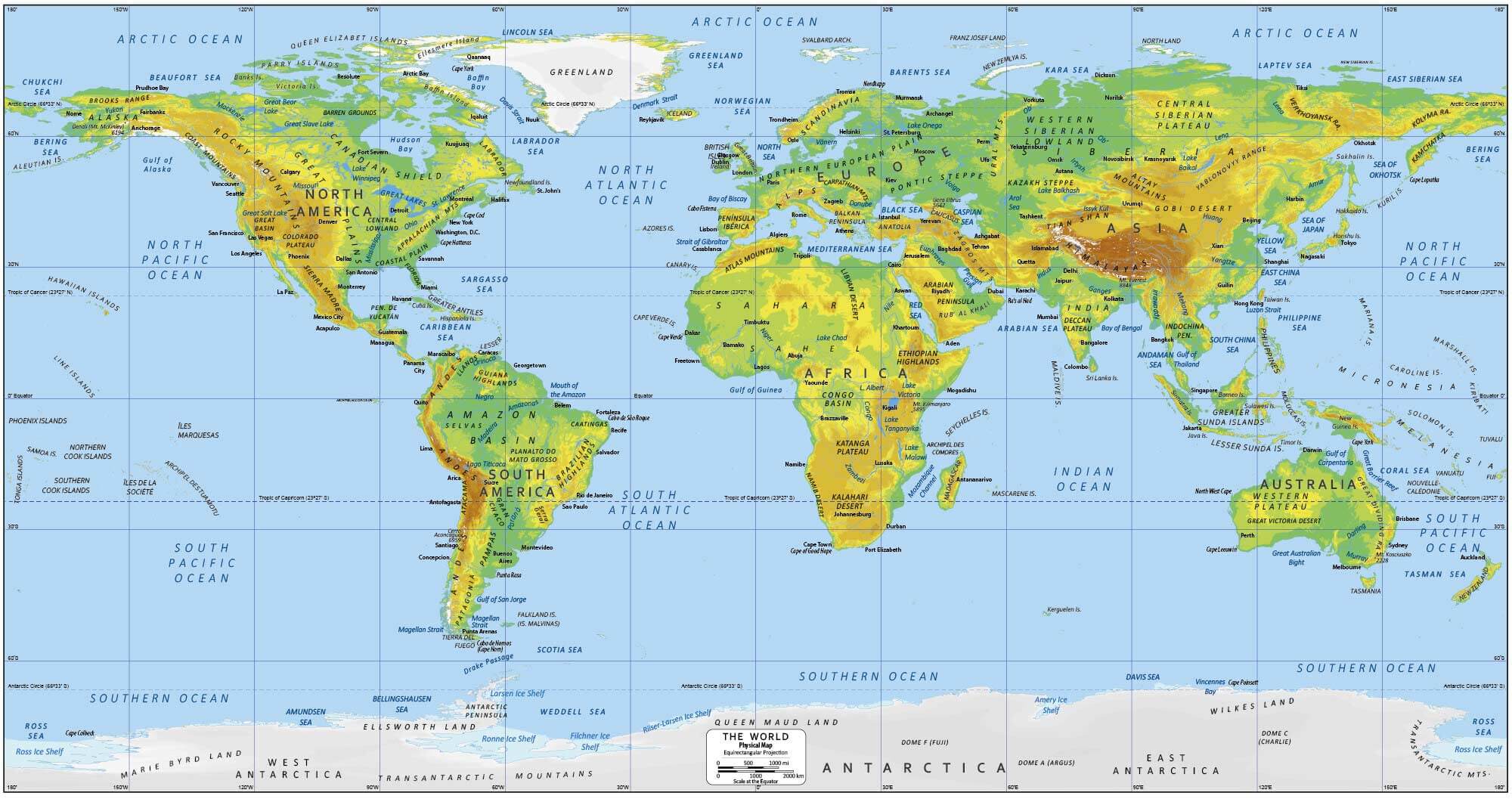
World Physical Map
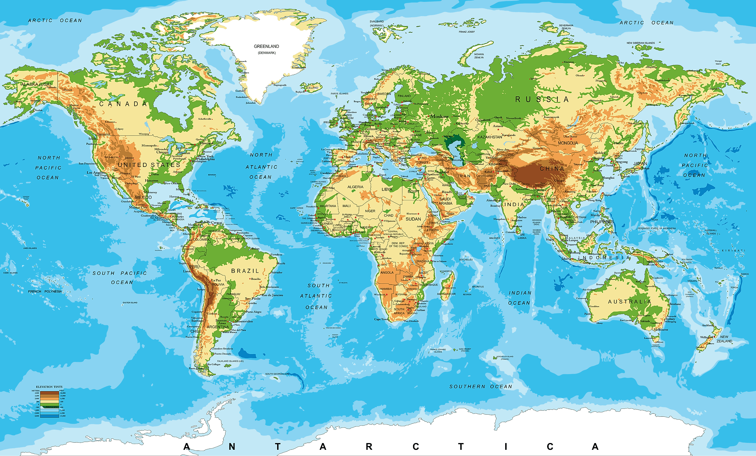
World Physical Terrain Map
World Political Map in English
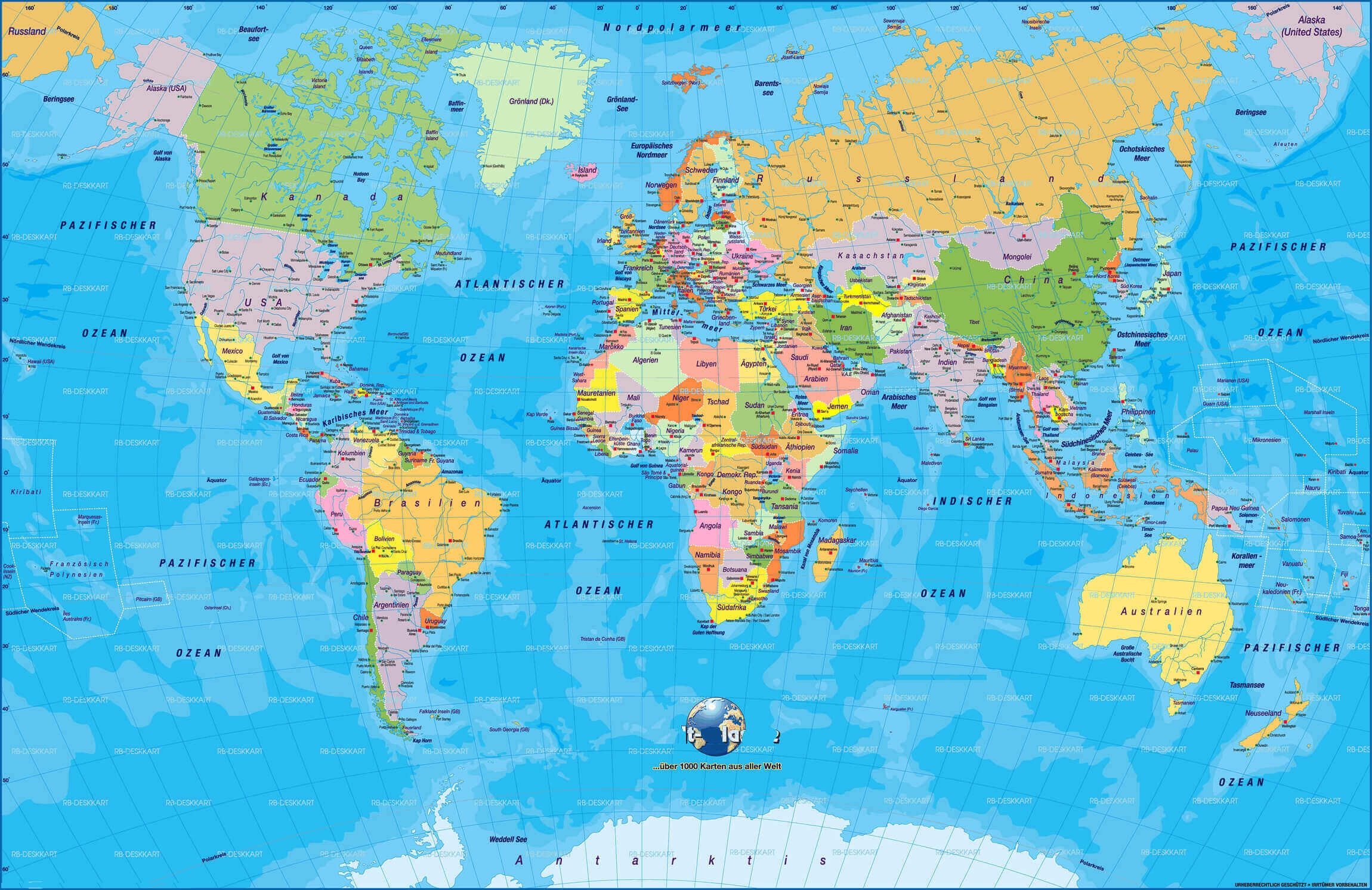
World Political Map In German
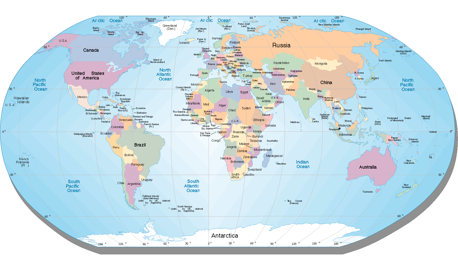
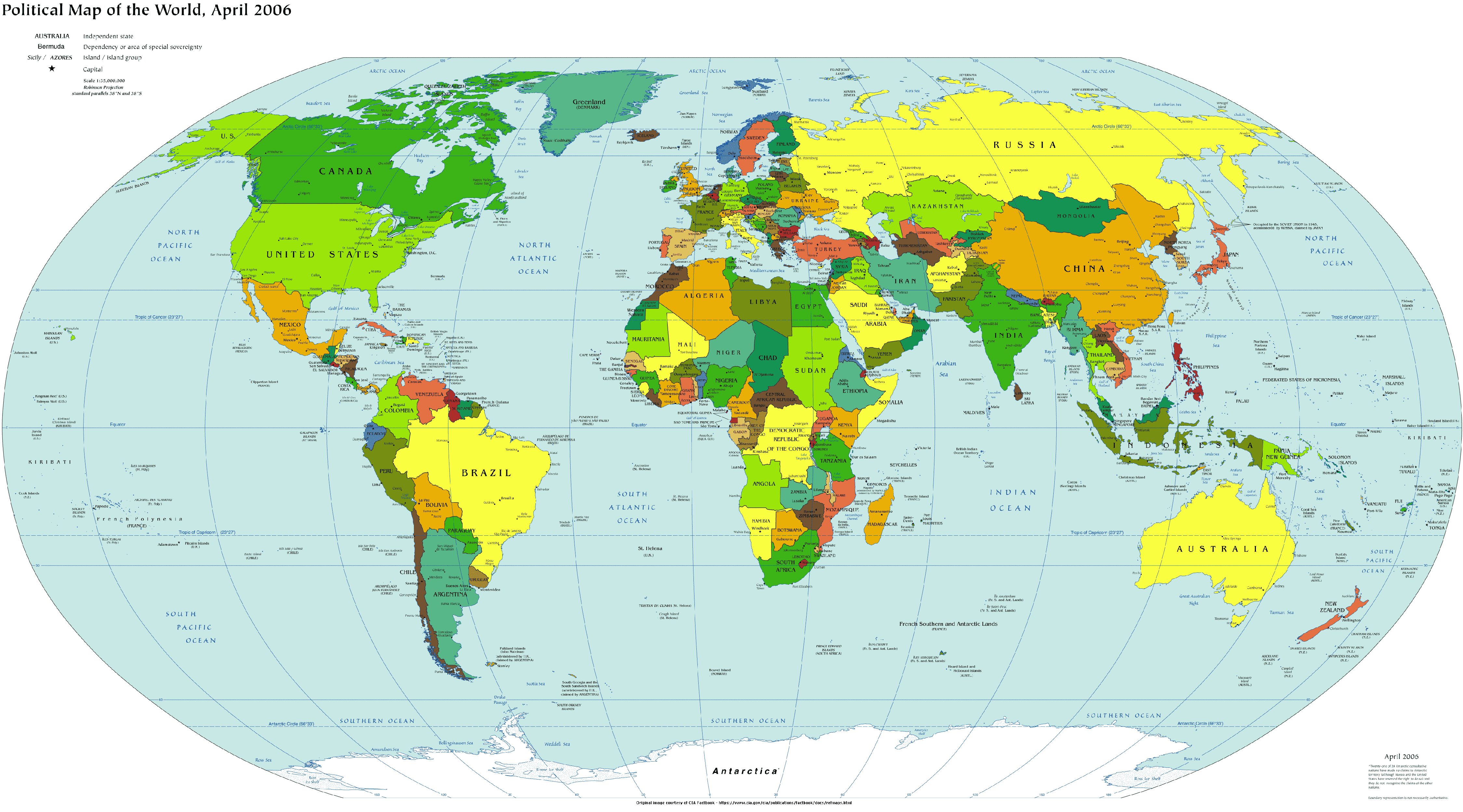
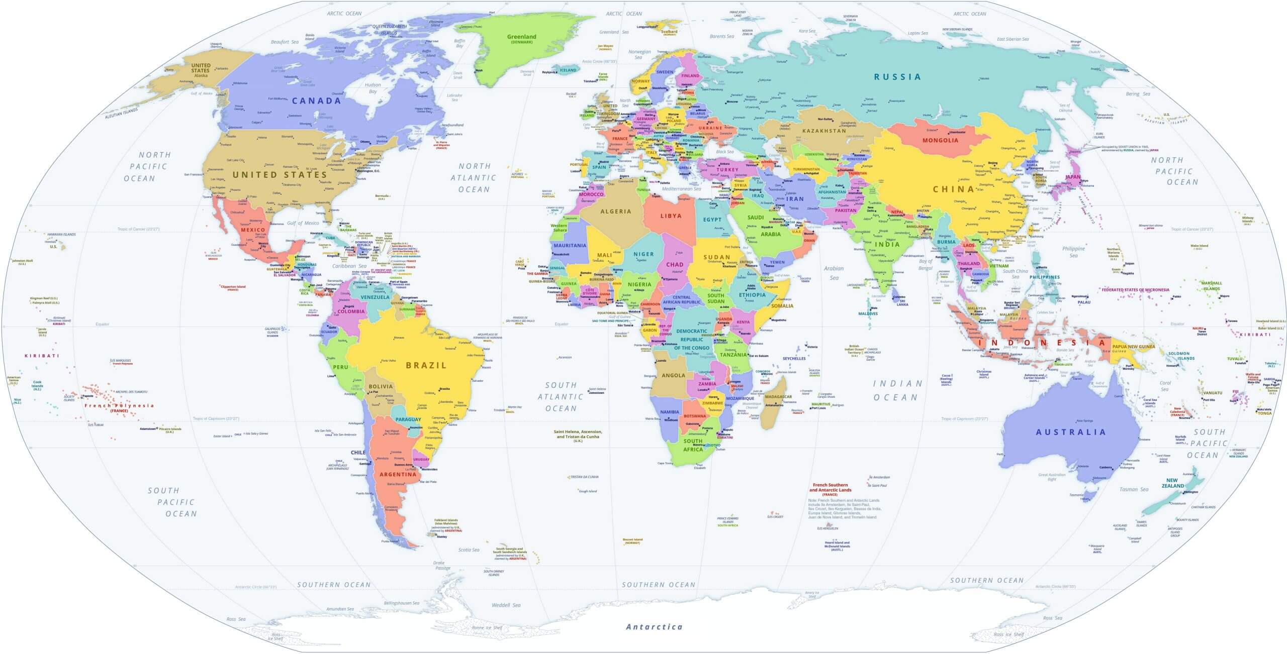
World Political Map
Feel free to explore these pages as well:
- World Regions Maps
- World Historical Maps
- World Geological Maps
- World Blank Maps
- Discover Satellite World Maps
- World Countries Languages Map
- Discover Thematic World Maps
- Discover Unique World Maps
- Browse the Best World Maps
- Discover Detailed World Maps
- Complete World Map Guide
- World Maps Collection
- Explore Detailed World Maps
- Explore World Maps
- Head of Performance Marketing
- Head of SEO
- Linkedin Profile: linkedin.com/in/arifcagrici