World Regions Maps Collection: Satellite, Topographic, Time Zones and Travel Maps
Explore our detailed collection of World Regions Maps, featuring a wide variety of geographical and thematic maps designed for students, travelers, researchers, and geography enthusiasts. This collection includes World Relief Maps, World Languages Maps, World Satellite Maps, World Tectonic Maps, and World Terrain Maps, helping users better understand physical landforms, regional boundaries, language distributions, and Earth's geological structures. Whether you are looking for a World Topographic Map for geographic analysis or a World Relief Map for educational purposes, our collection provides reliable and informative resources.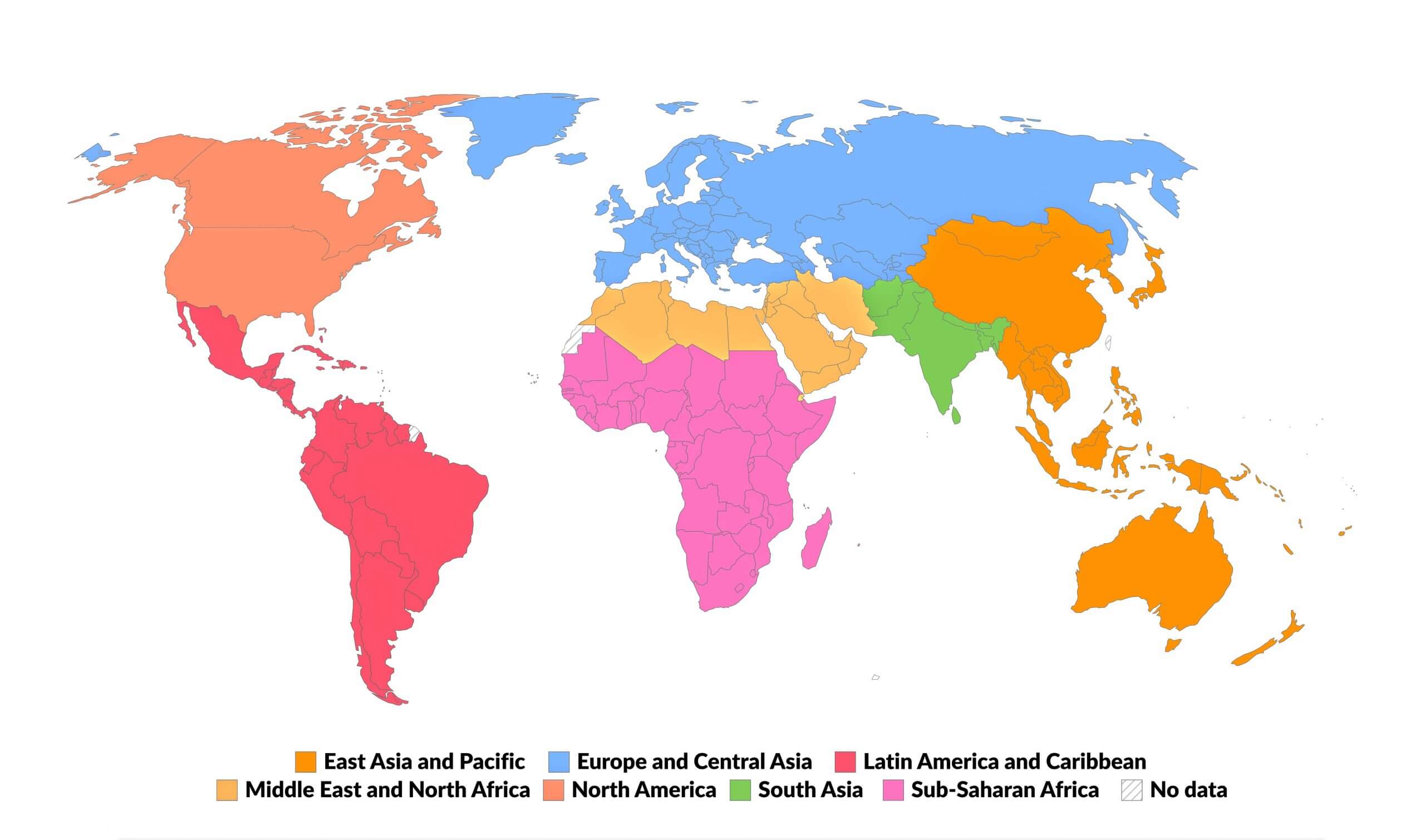
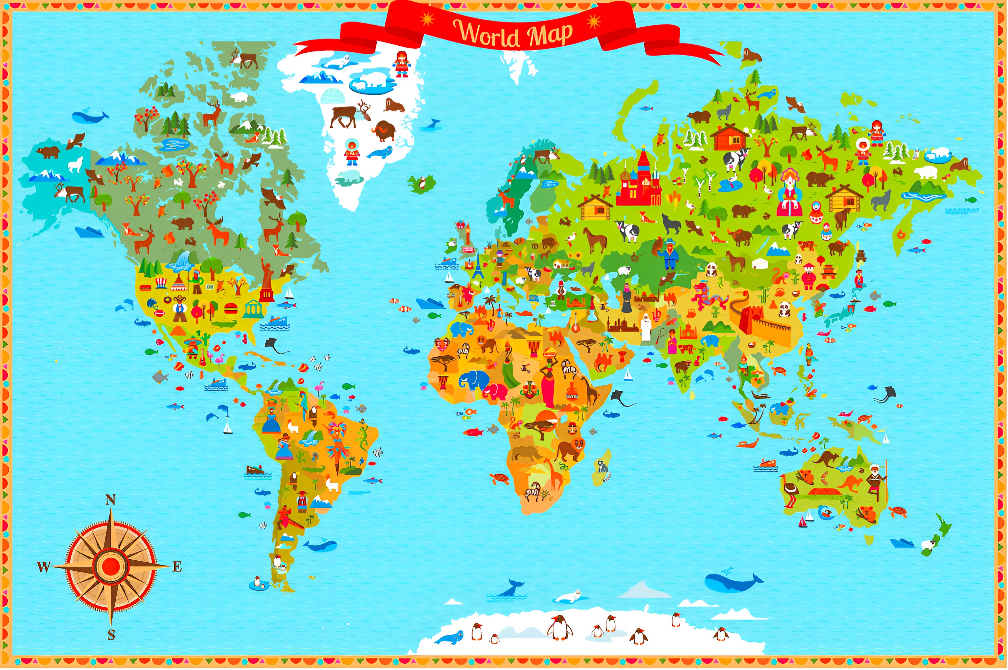
World Regions Map
World Relief Map
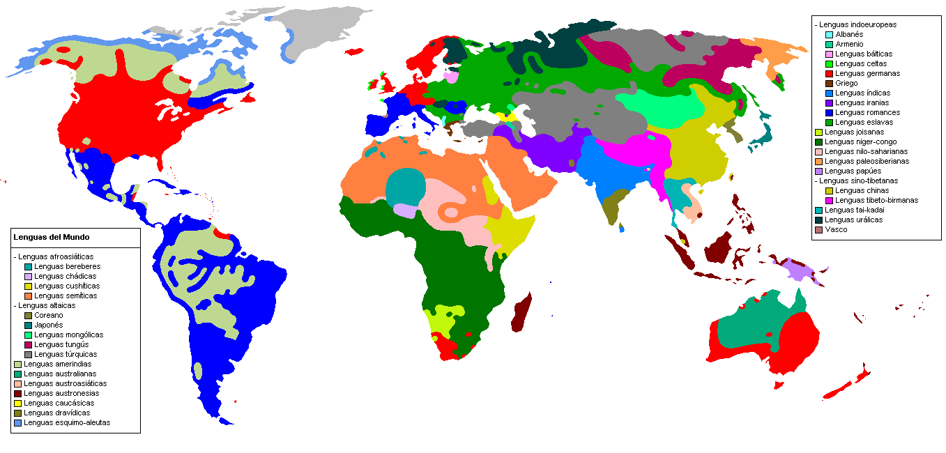
World Languages Map
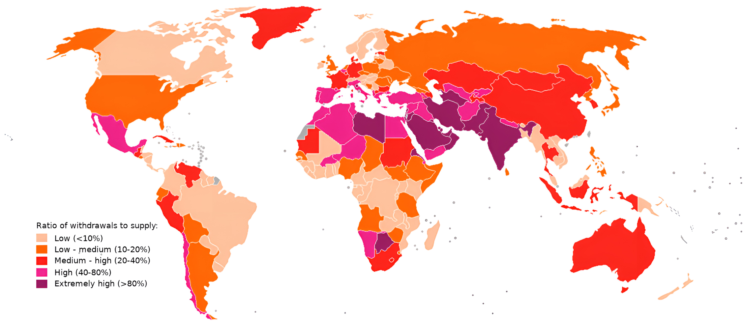
Discover specialized regional maps such as World Time Zones Maps, World Travel Tourist Maps, and World Water Scarcity Maps, offering valuable insights into global time divisions, tourism destinations, and environmental challenges. From tectonic activity and terrain elevations to water resource distribution and regional language patterns, this collection serves as a comprehensive resource for learning, travel planning, research, and exploring the diverse regions of the world.
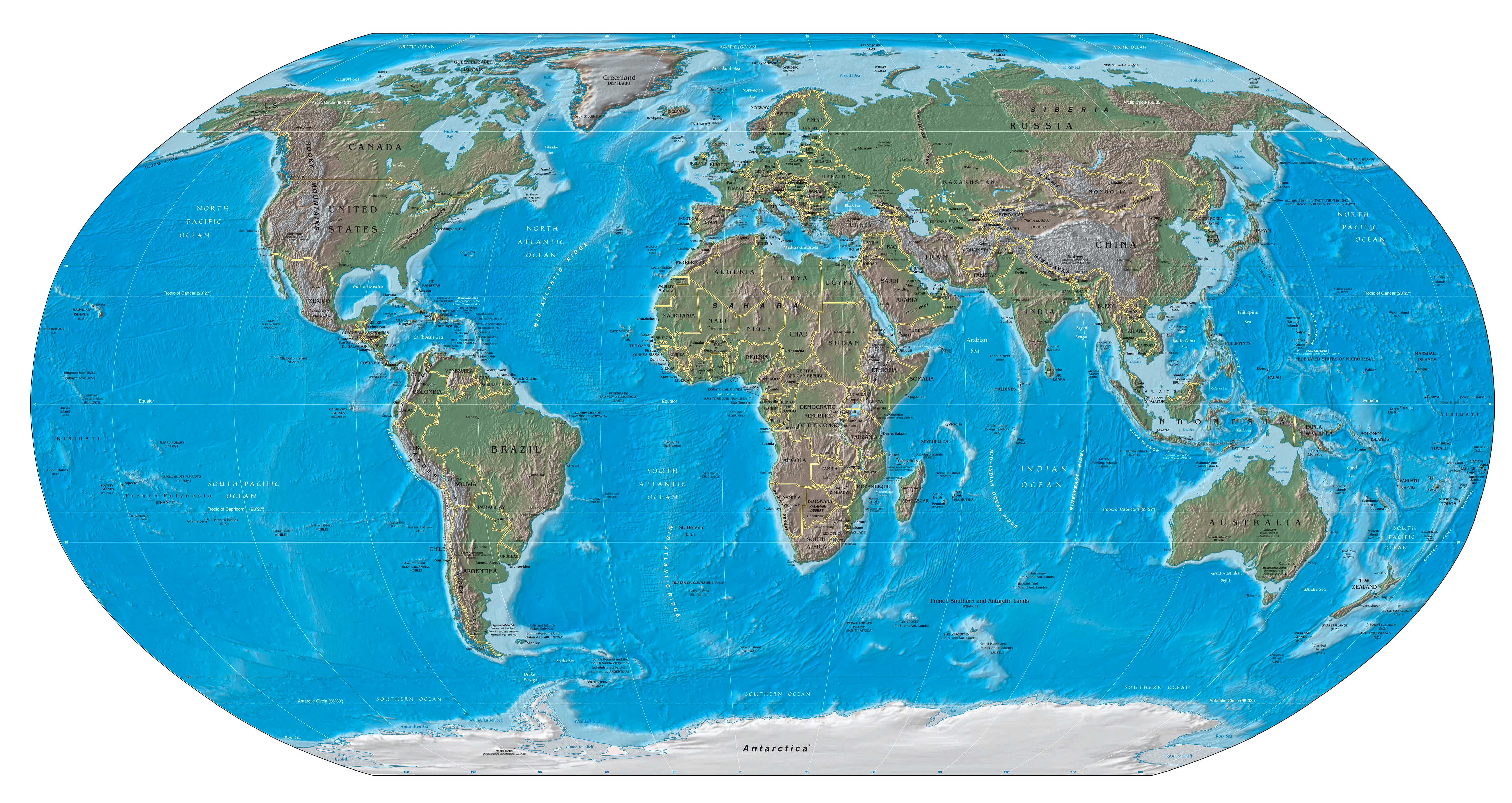
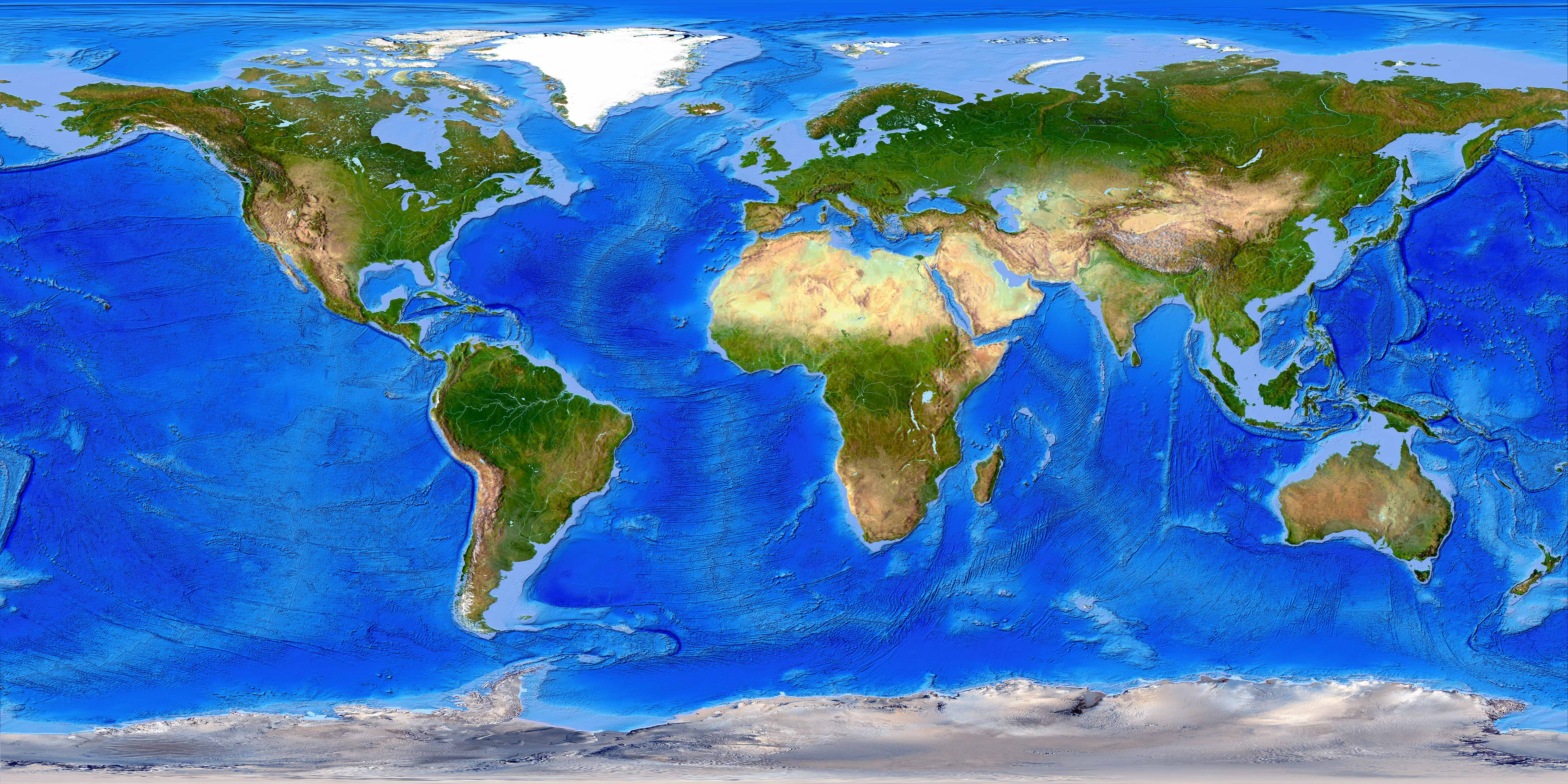
World Satellite Map
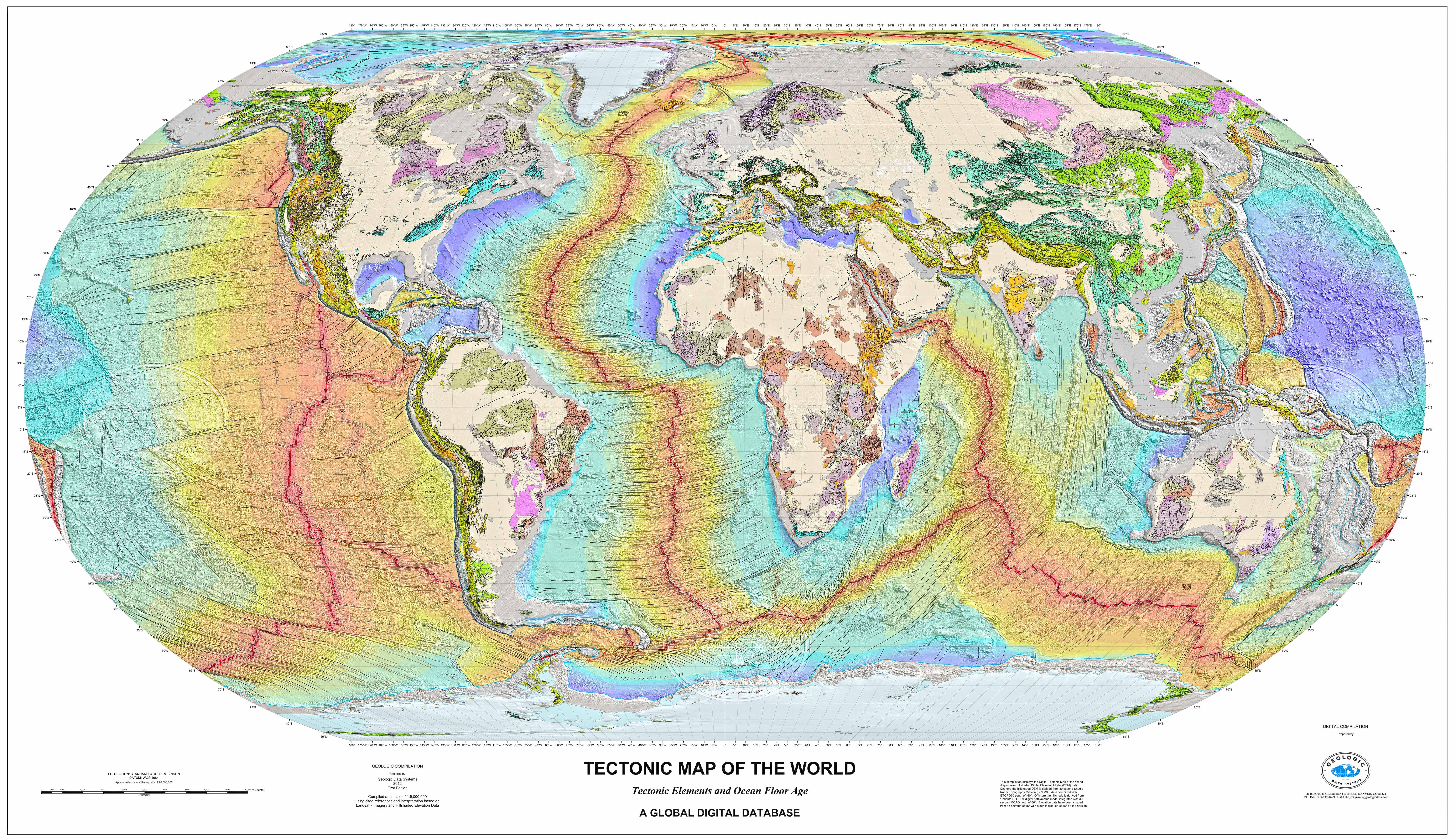
World Tectonic Map
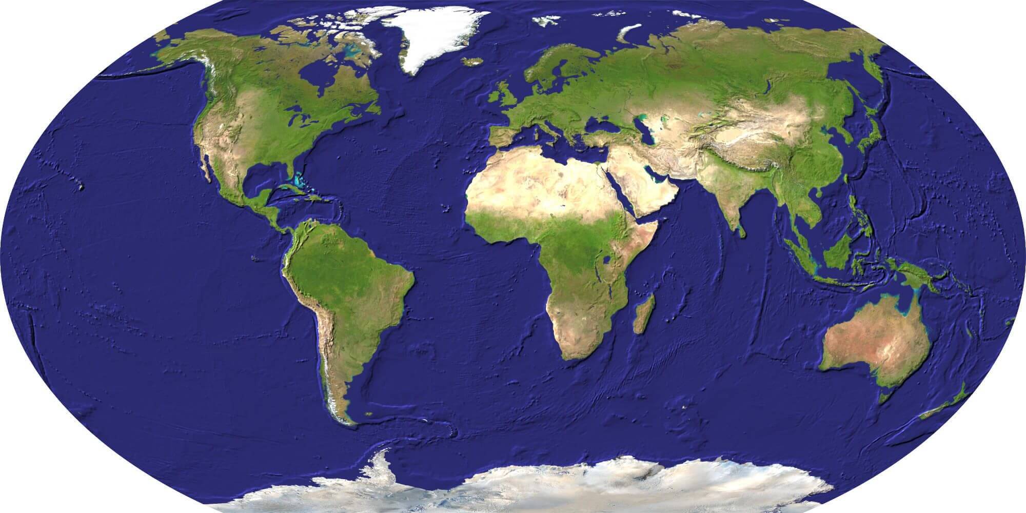
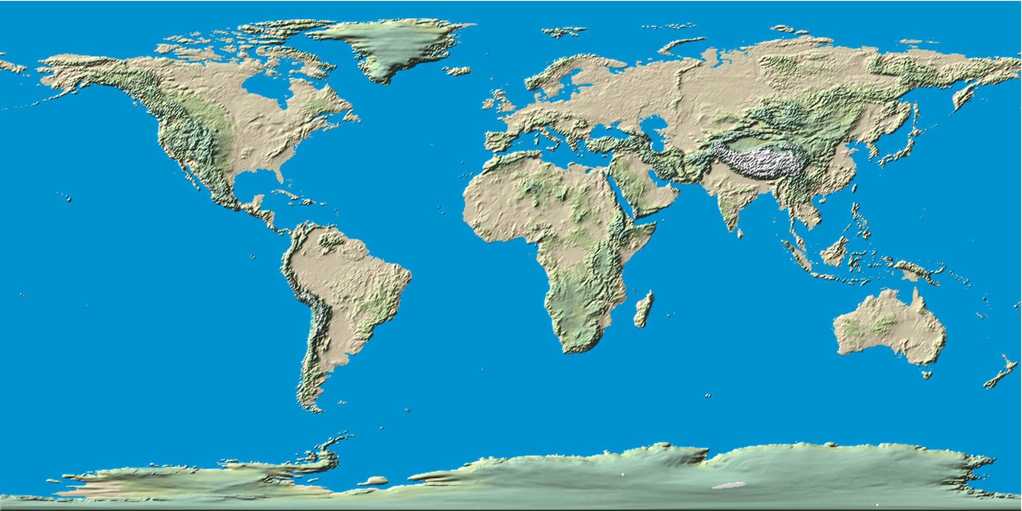
World Terrain Map
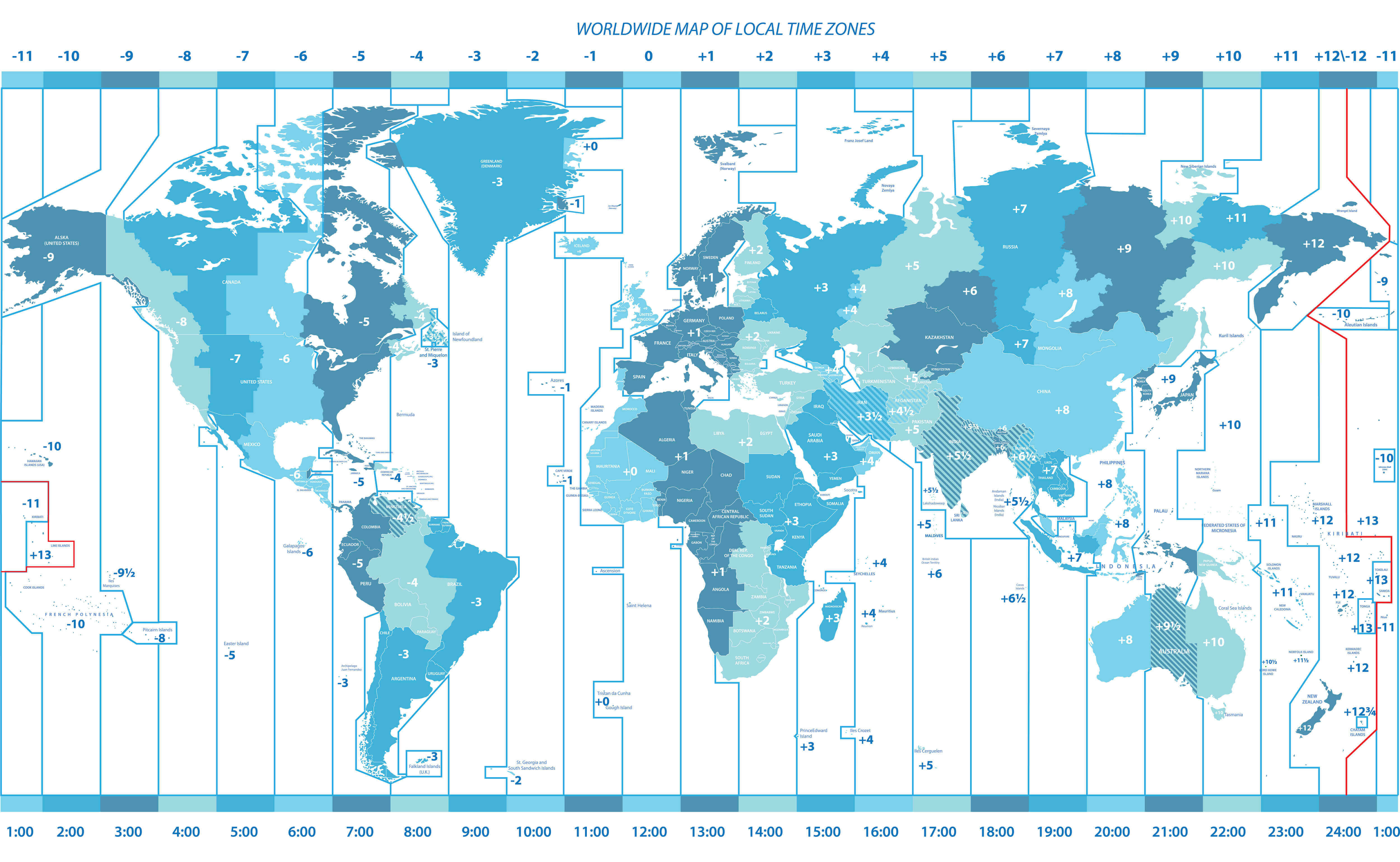
World Time Zones Map
World Topographic Map
World Travel Tourist Map
World Water Scarcity Map
Feel free to explore these pages as well:
- World Regions Maps
- World Historical Maps
- World Geological Maps
- World Blank Maps
- Discover Satellite World Maps
- World Countries Languages Map
- Discover Thematic World Maps
- Discover Unique World Maps
- Browse the Best World Maps
- Discover Detailed World Maps
- Complete World Map Guide
- World Maps Collection
- Explore Detailed World Maps
- Explore World Maps
- Head of Performance Marketing
- Head of SEO
- Linkedin Profile: linkedin.com/in/arifcagrici