Detailed World Satellite Map with Borders, Terrain & Regional Views
Discover the world with high-resolution satellite imagery, night-lights and Blue Marble views. See terrain, oceans and borders; explore regions with easy zoom. <
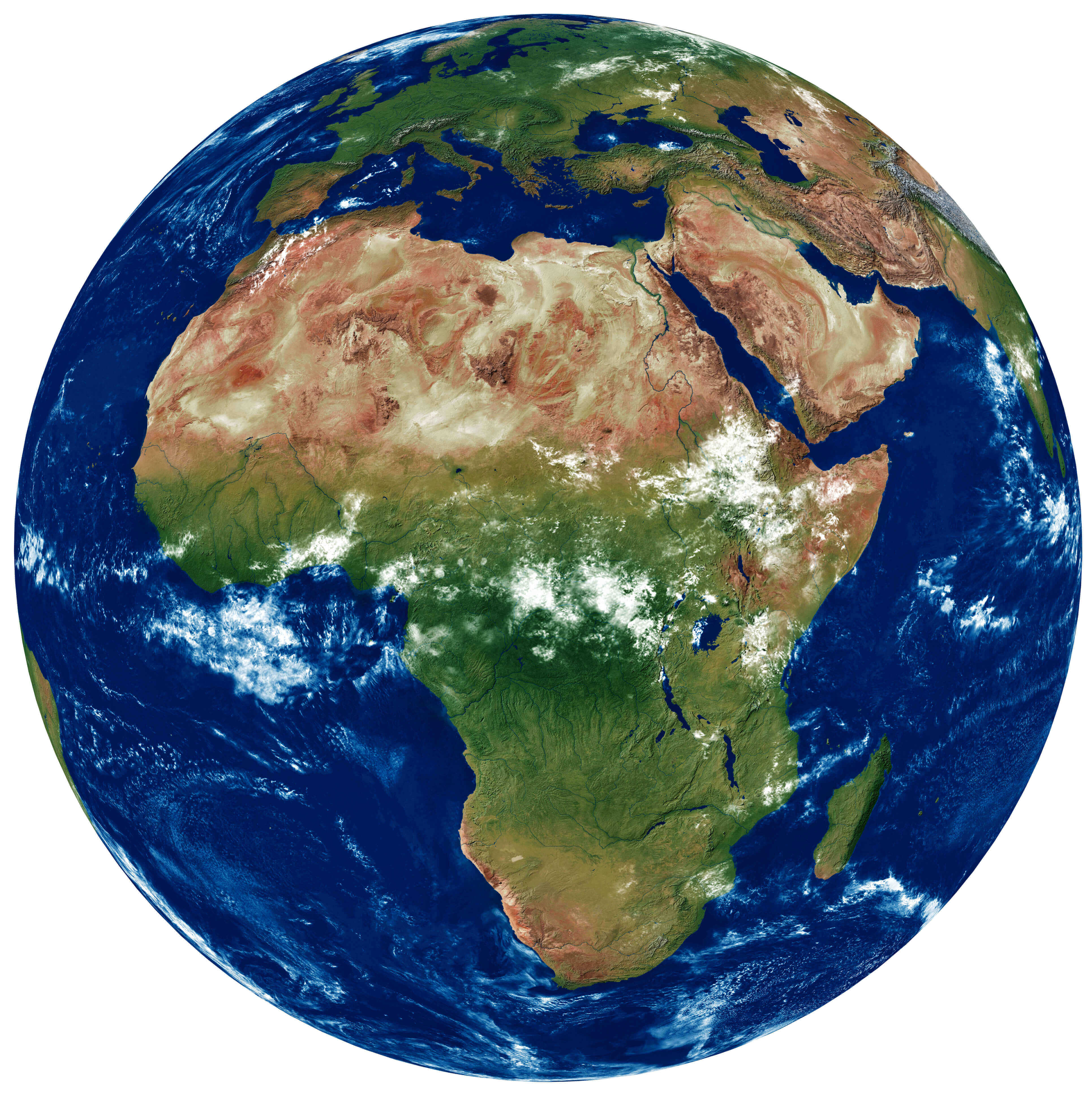
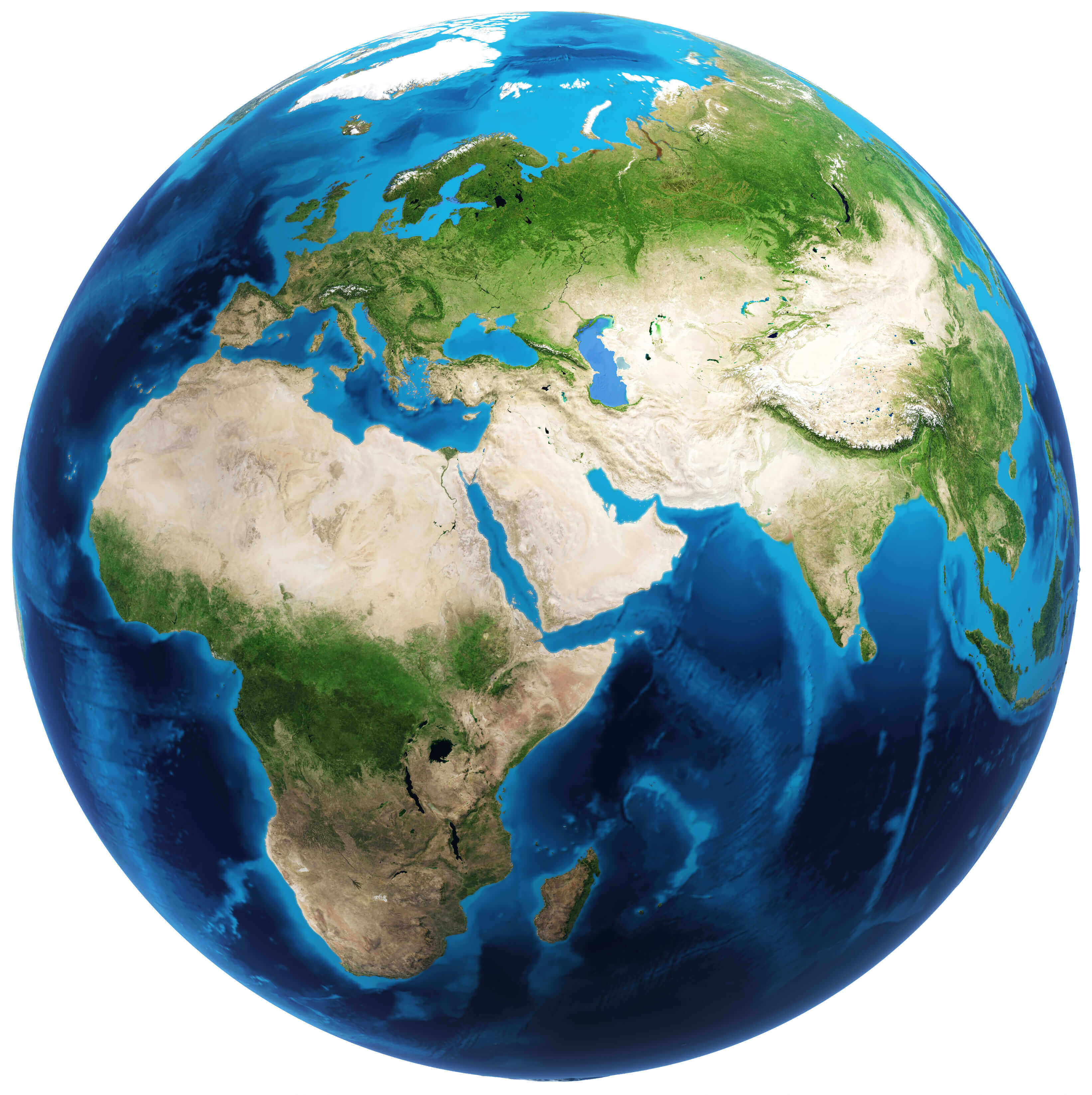
World Europe Africa Satellite Map
 Satellite view of Europe and Africa from space.
Large Bright World Satellite Map
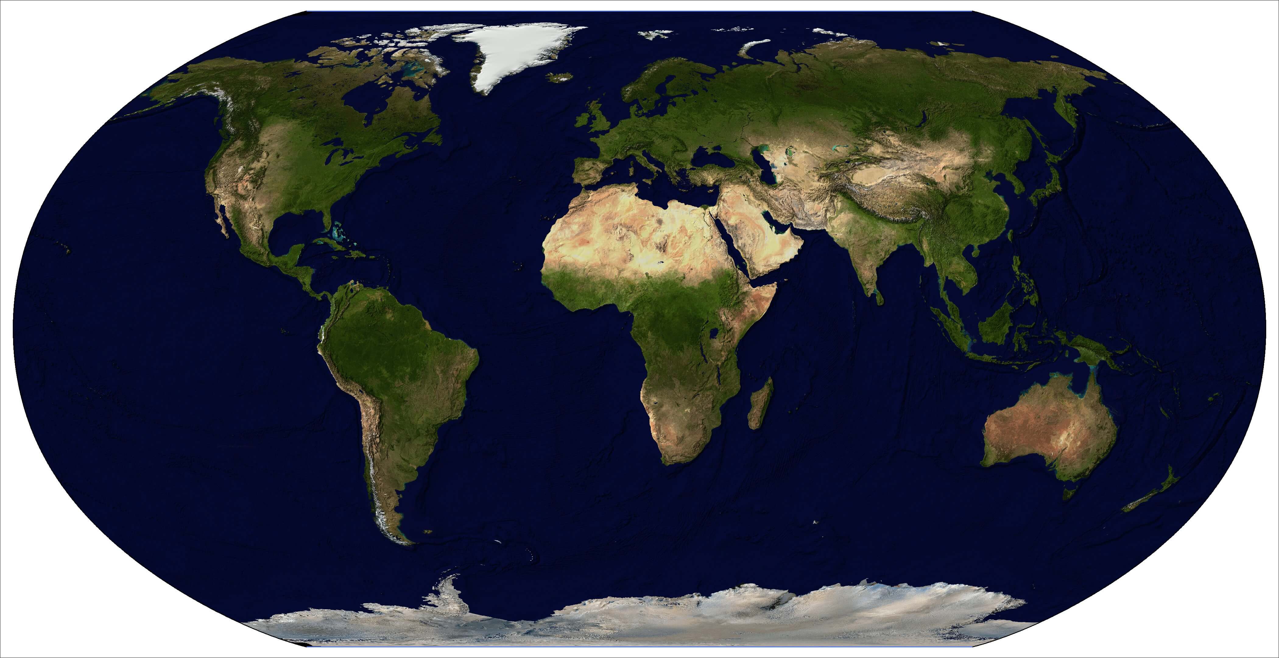
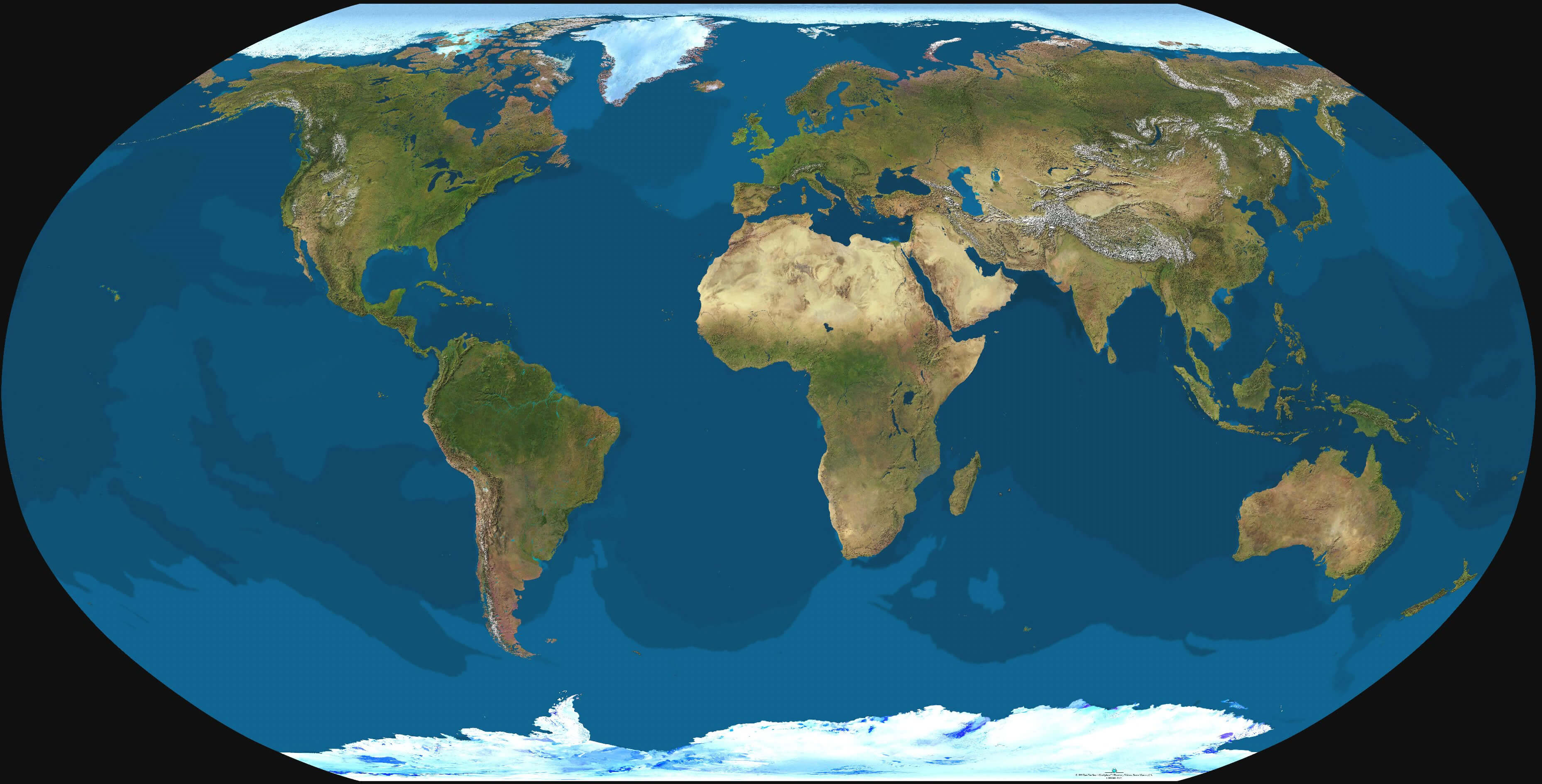
 Bright satellite view of the entire world map.
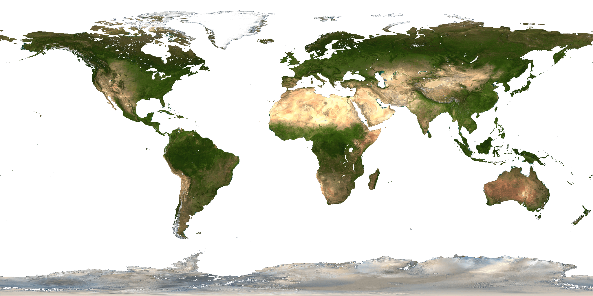
World blue marble map
World Global land map
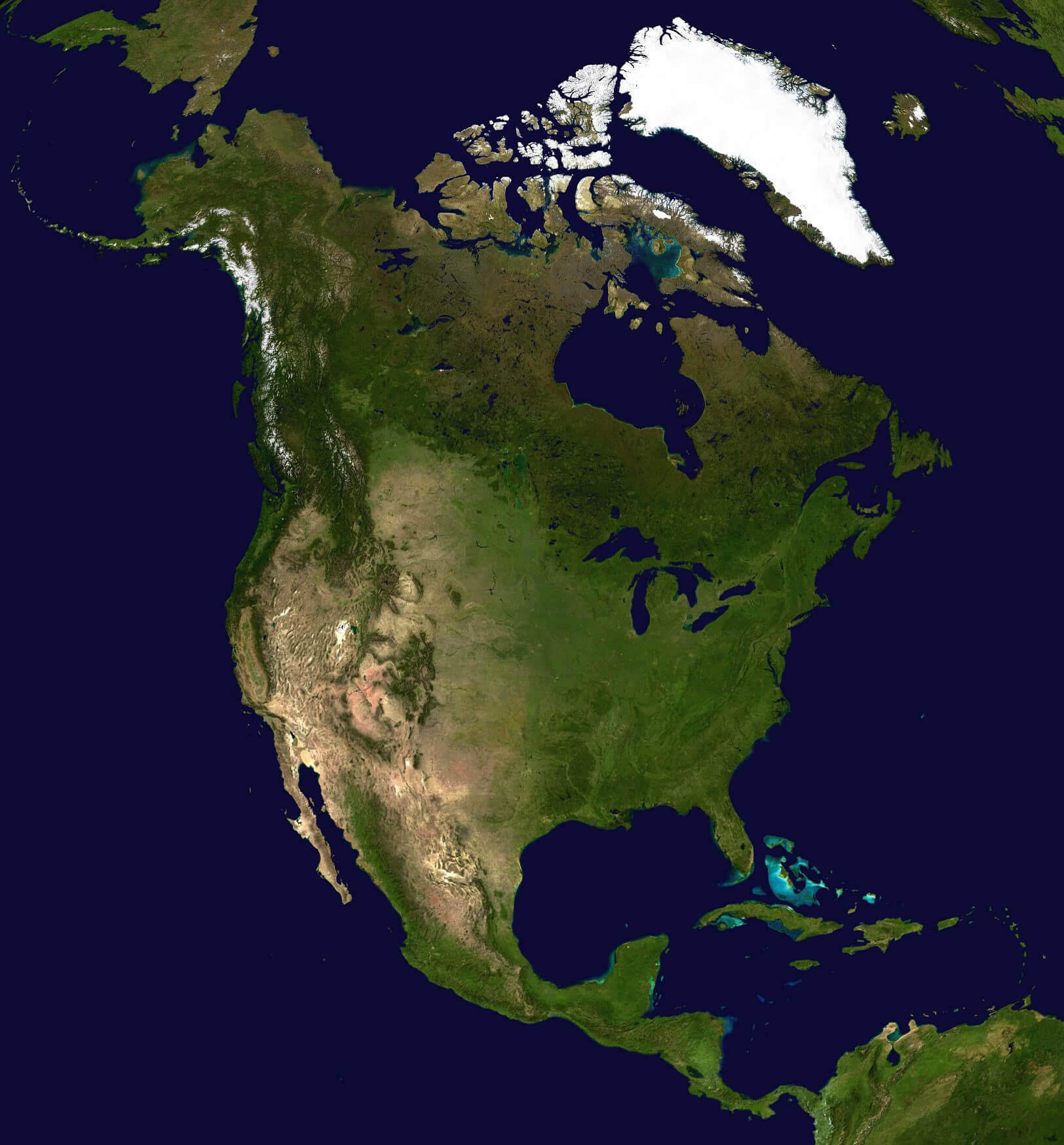
World and North America Satellite image
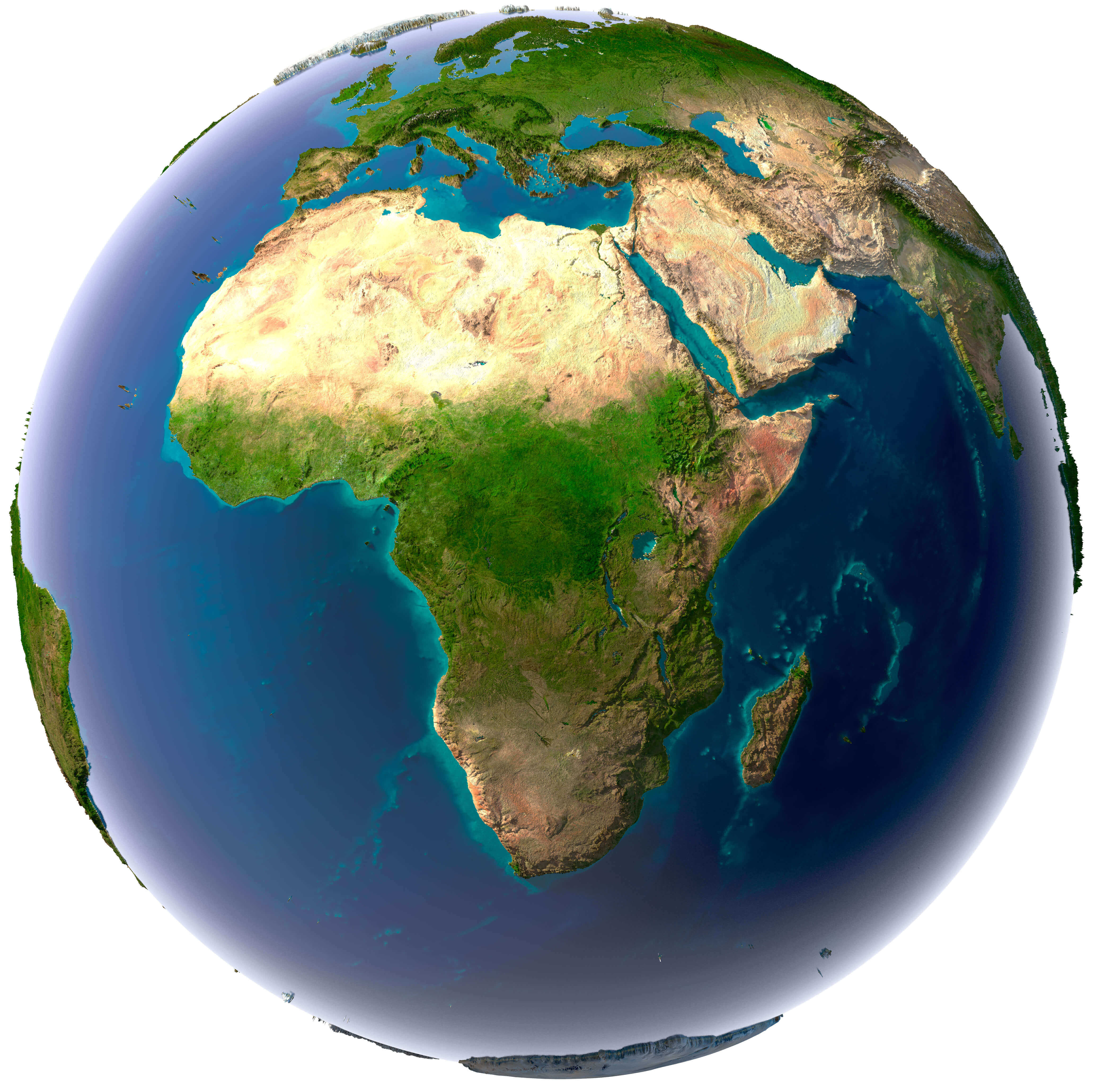
Africa World Satellite map
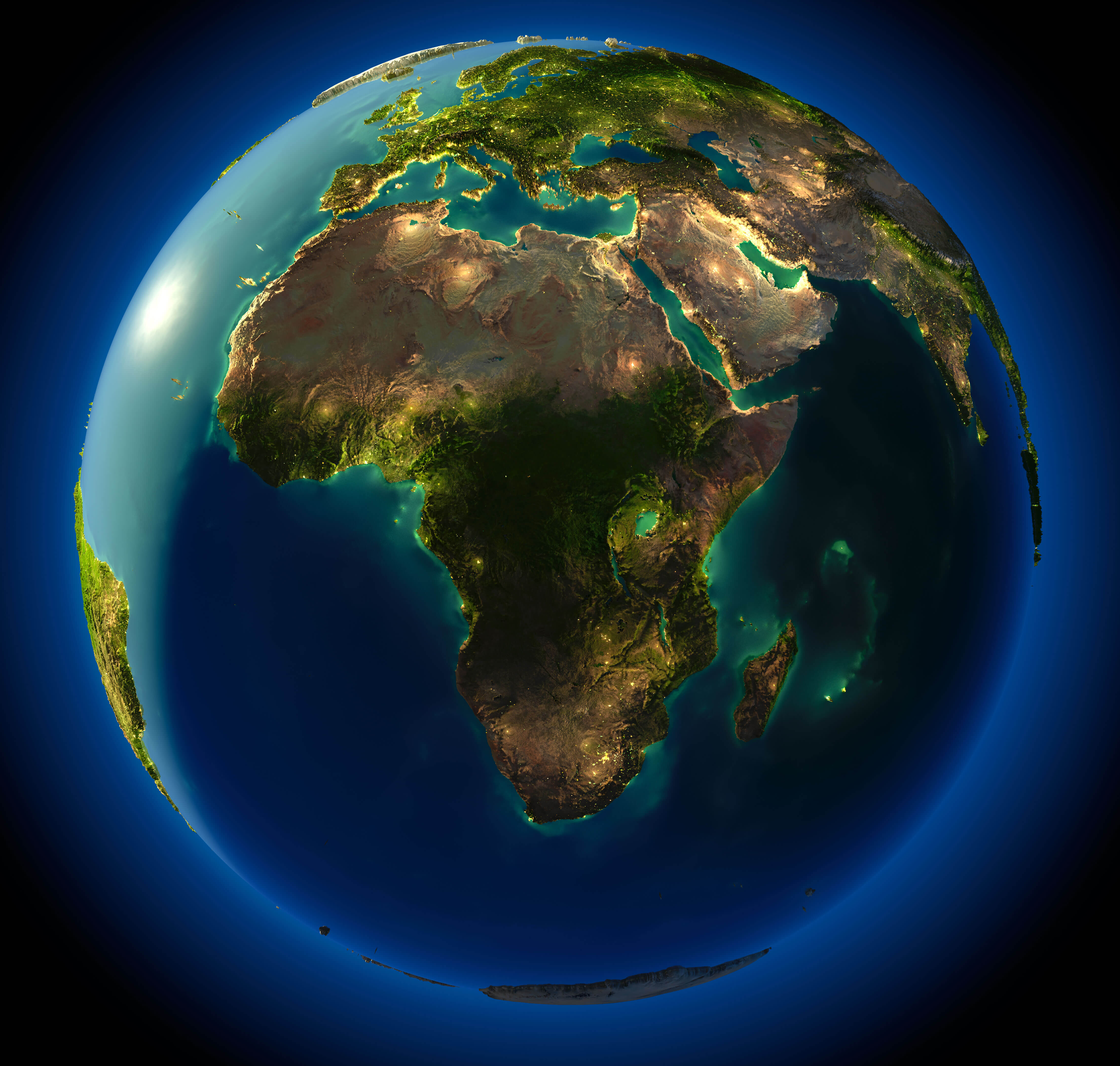
Africa World night map
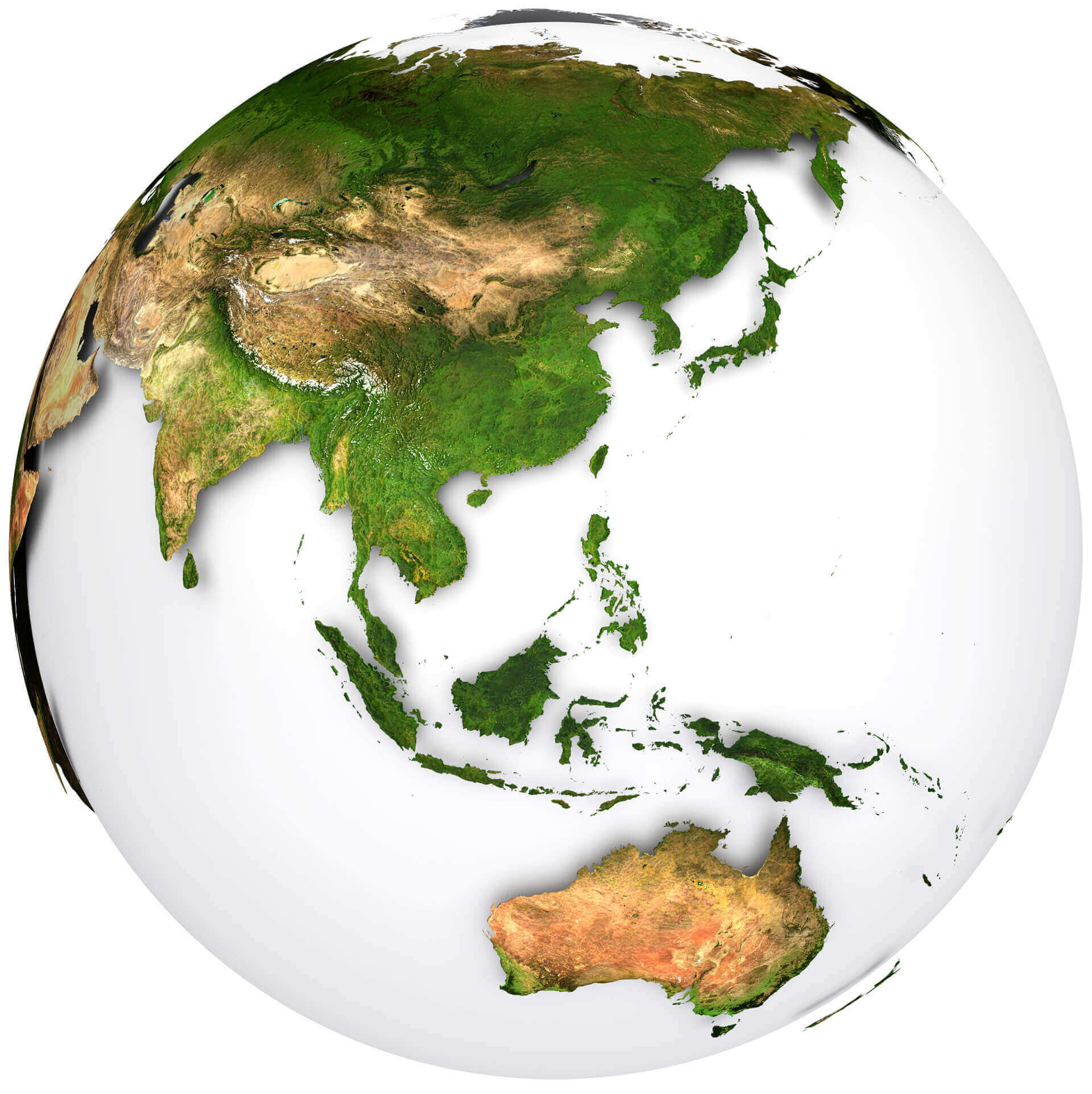
Australia and Asia the Earth map
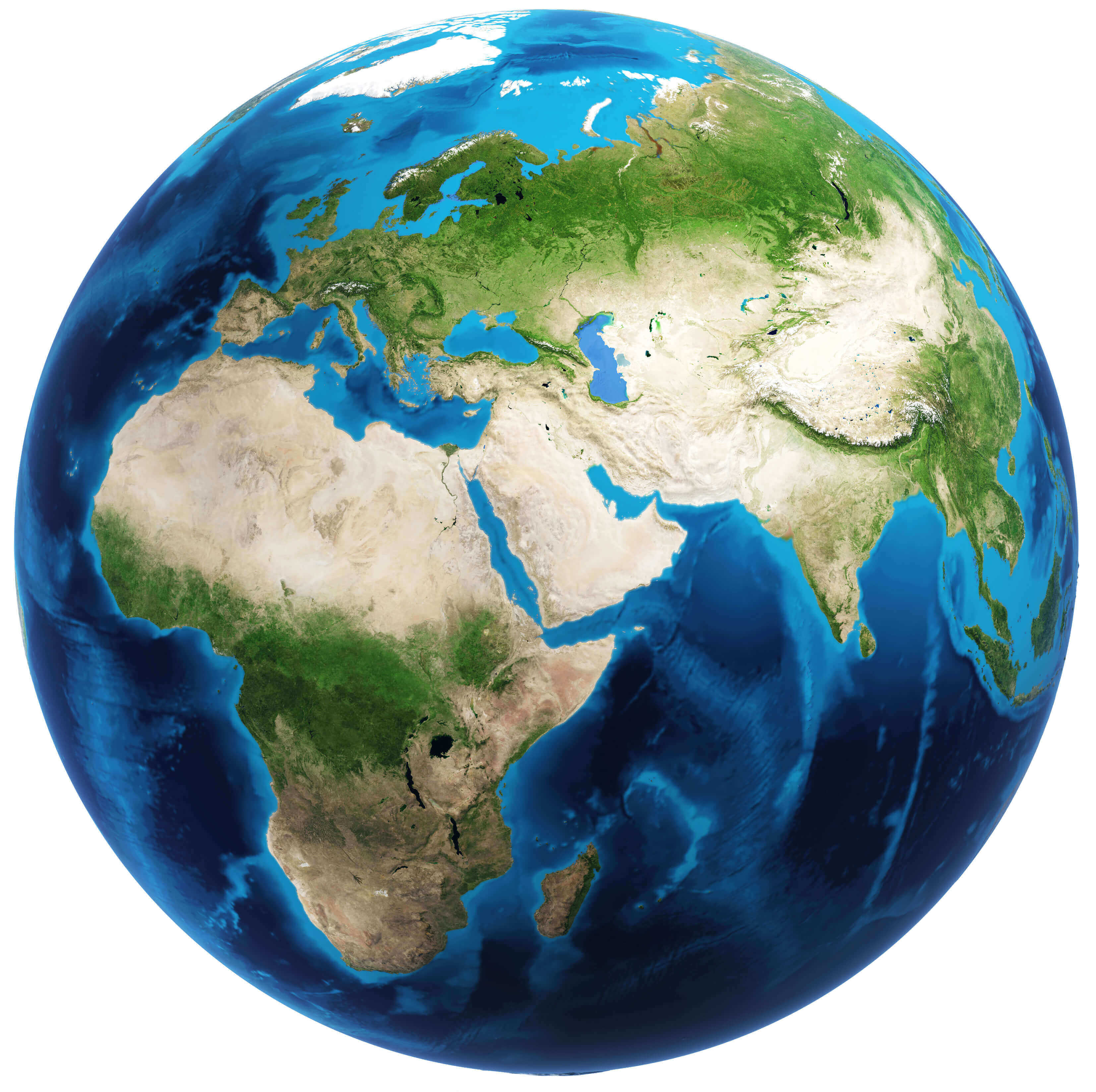
Earth Africa Earth map with Europe and Asia
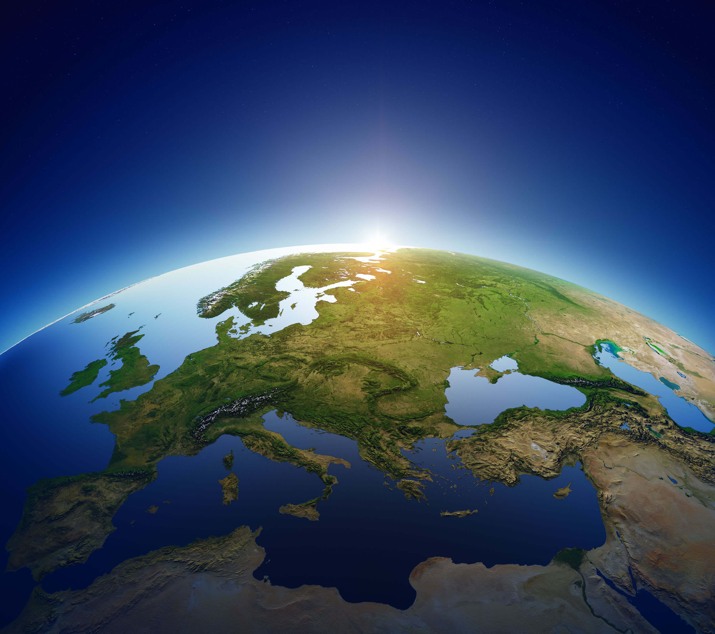
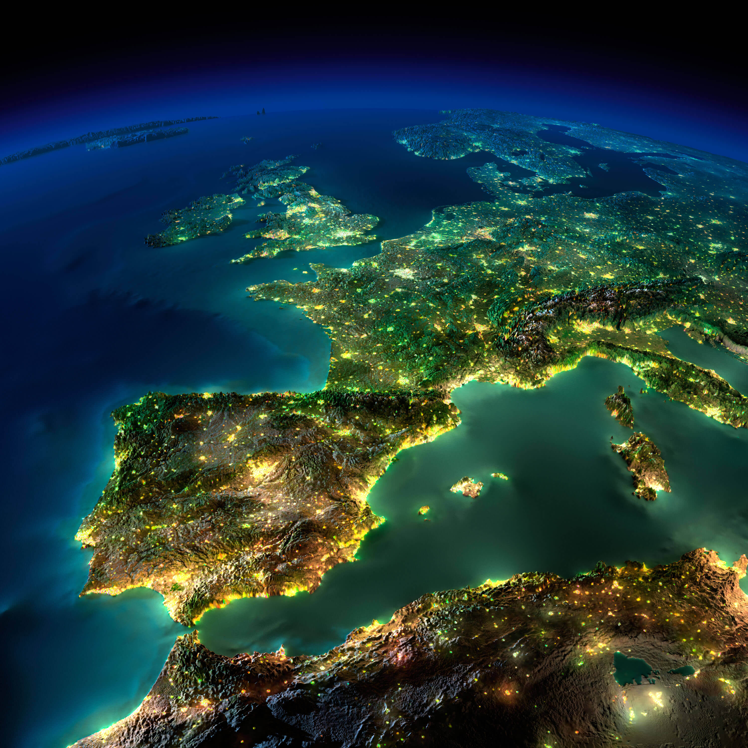
Earth Europe Satellite view from Space
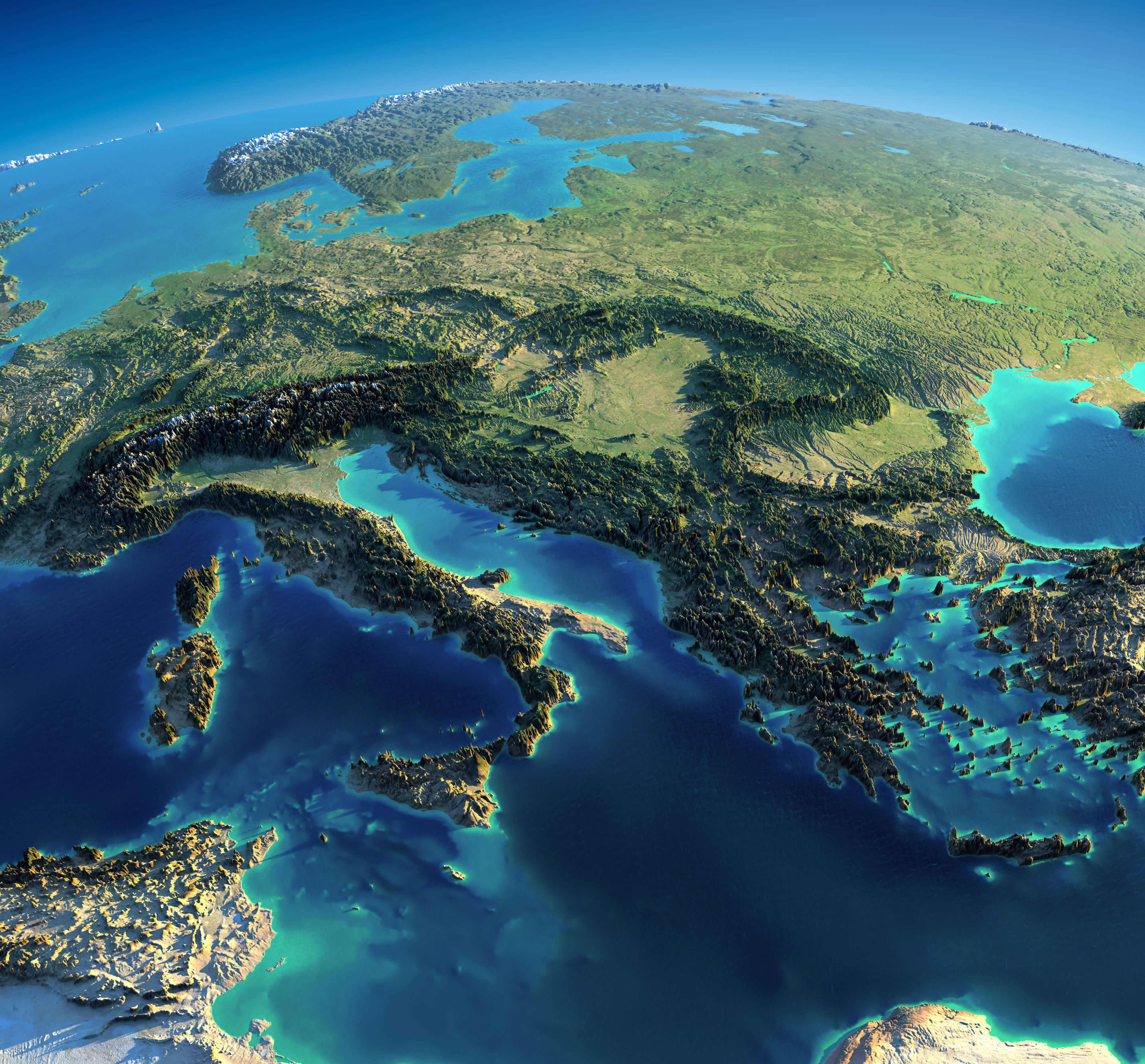
Europe Italy Greece Mediterranean World Satellite map
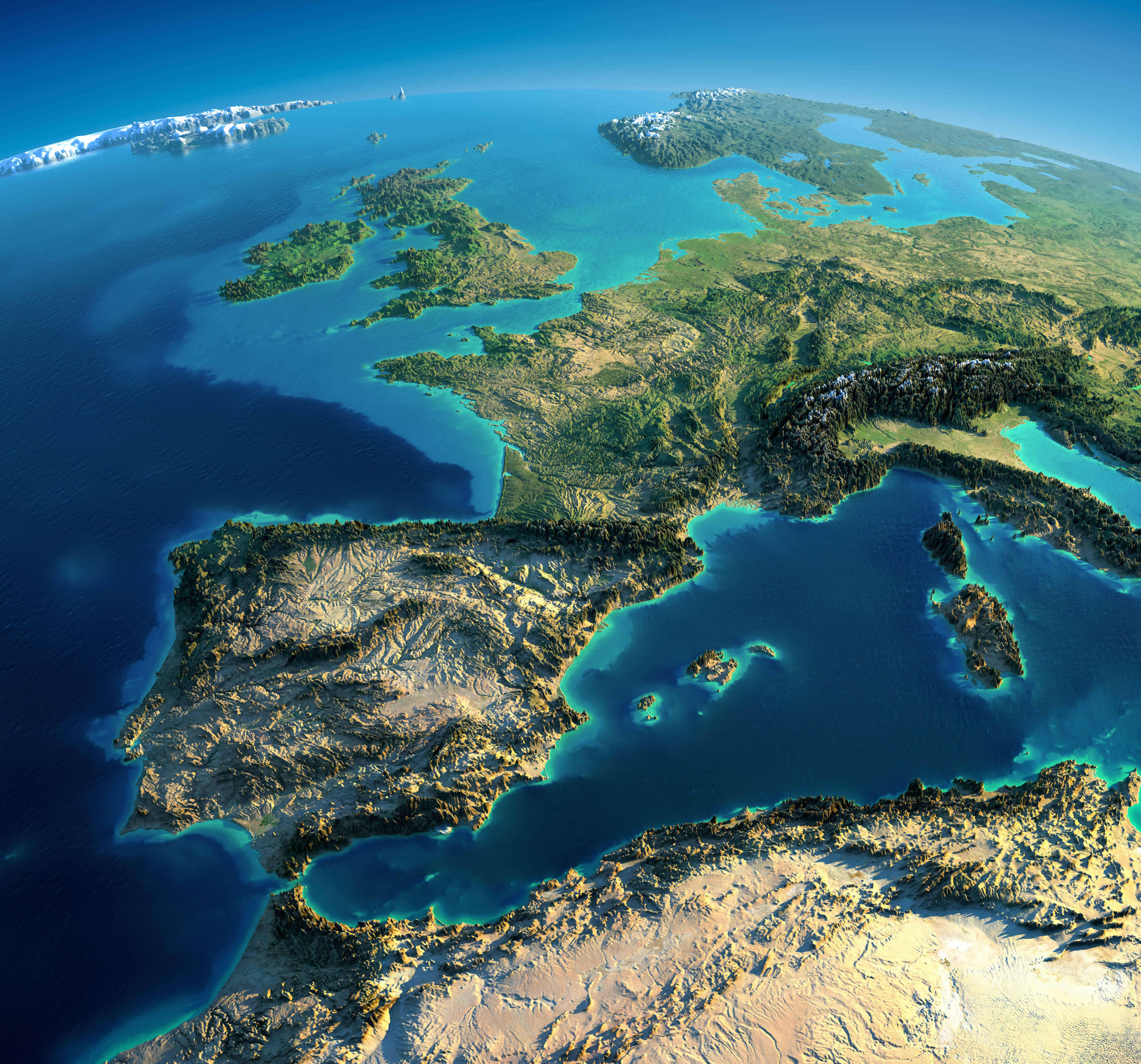
Europe Spain France Italy Satellite image on the World map
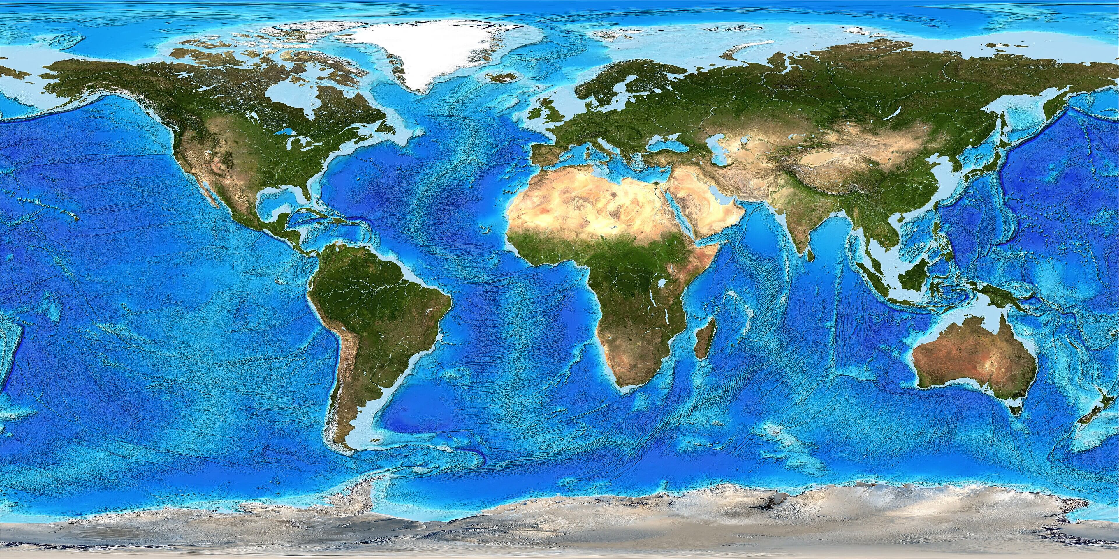
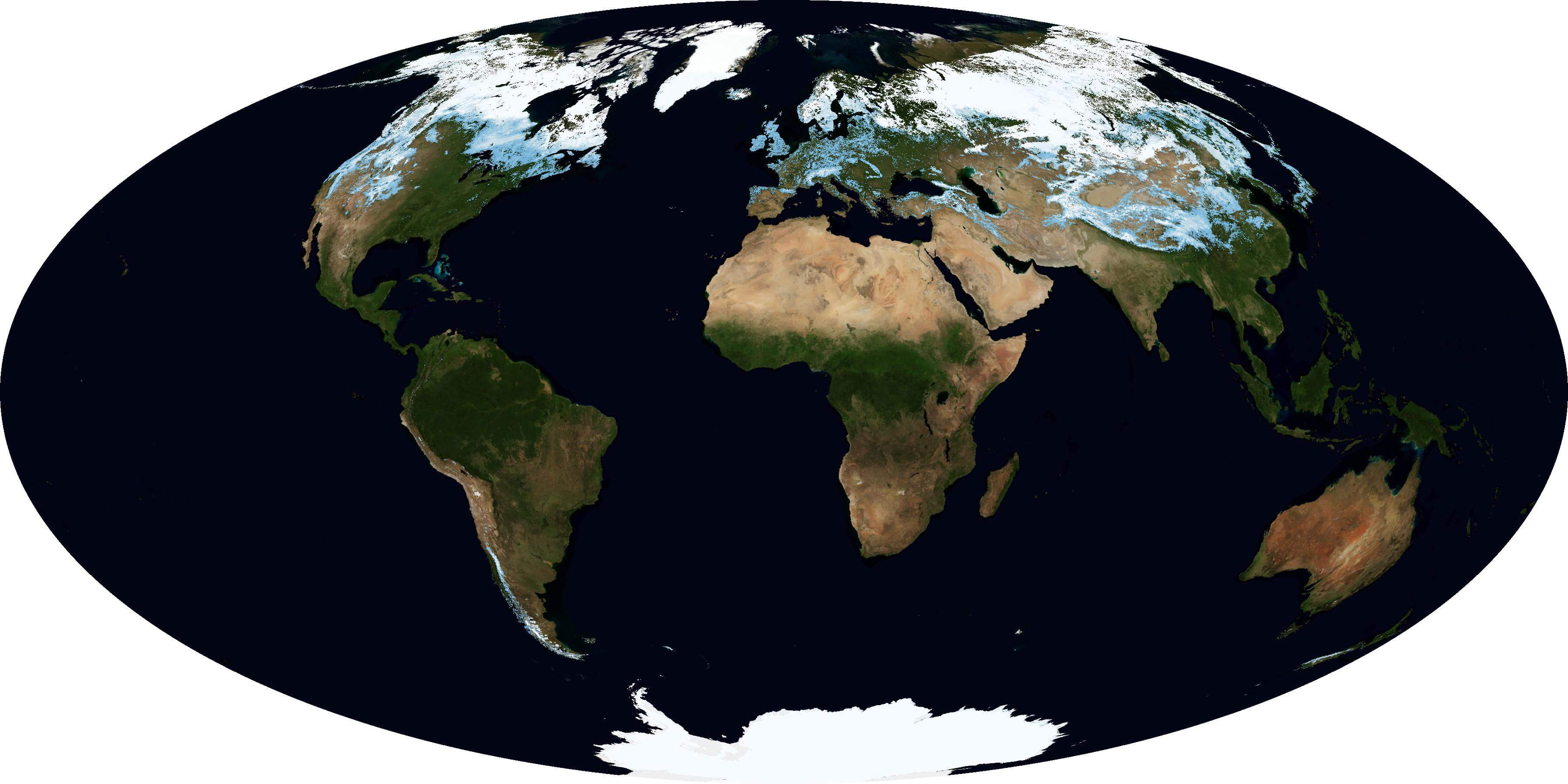
Large Satellite World topo map
Satellite composition of the whole Earth surface map
Satellite image of Earth at night
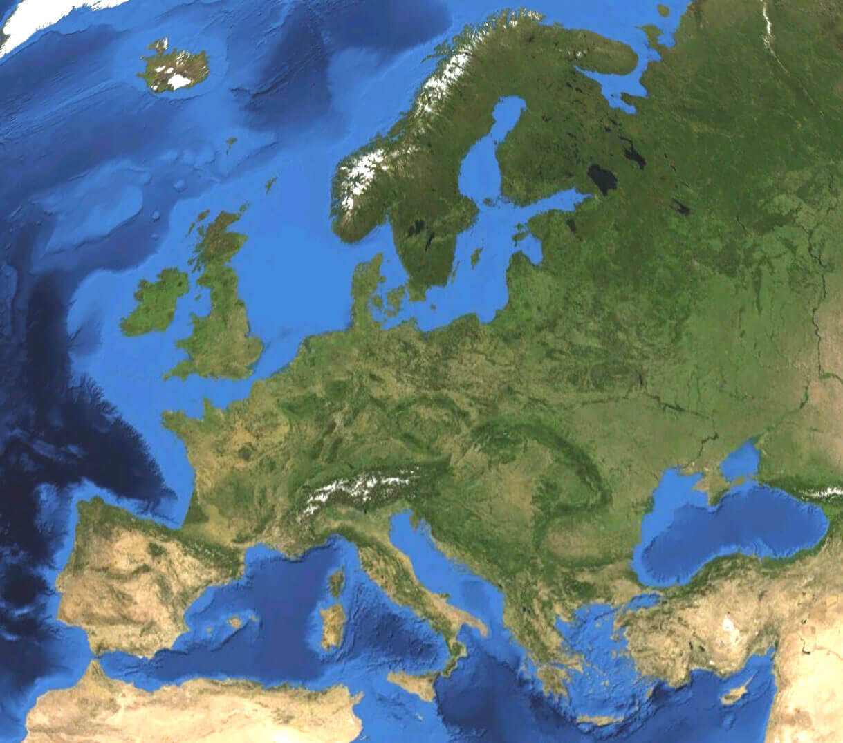
Satellite map of Europe in the World
Satellite maps of Europe with the World

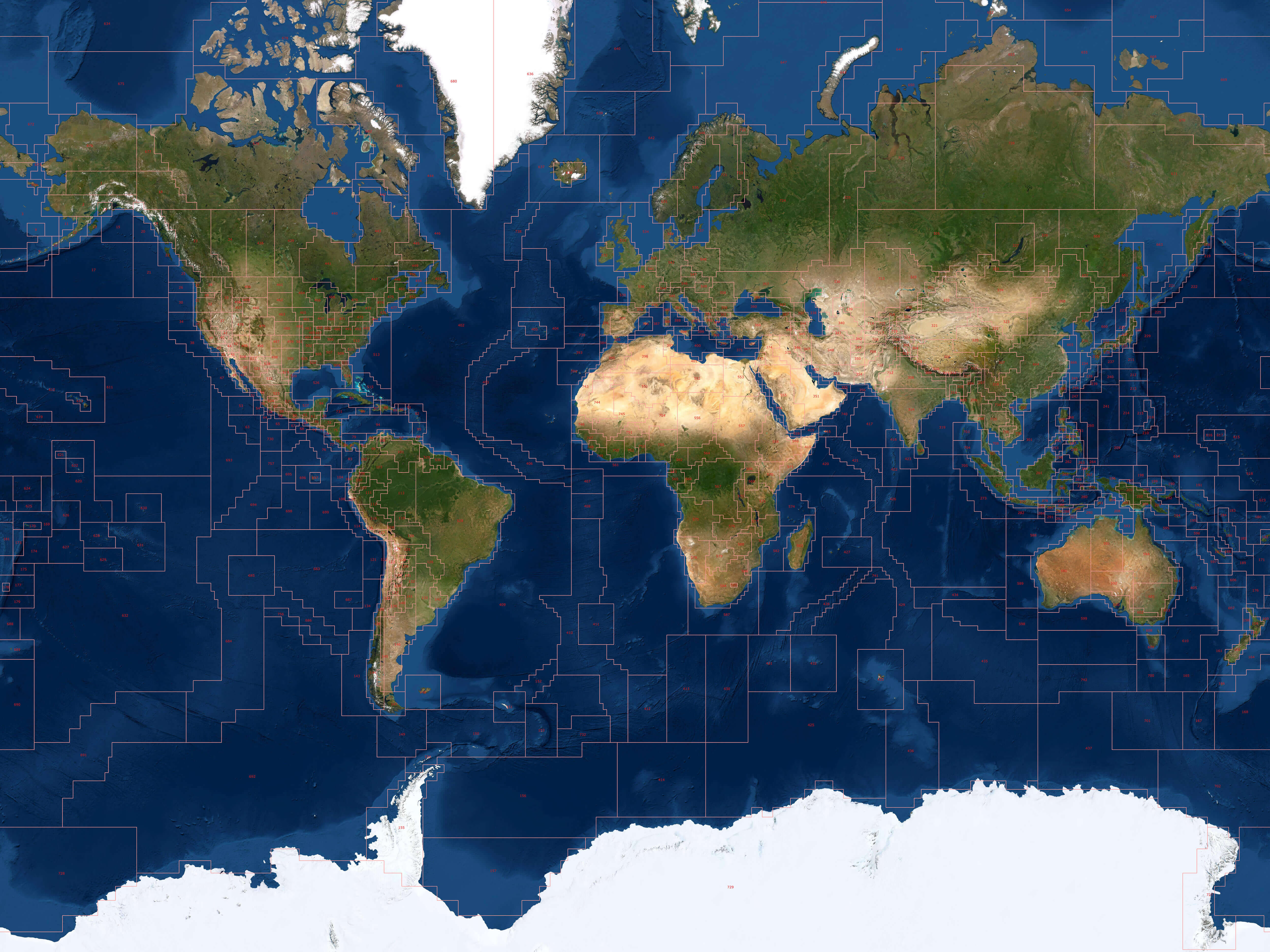
Satellite World map with national borders

Satellite World map
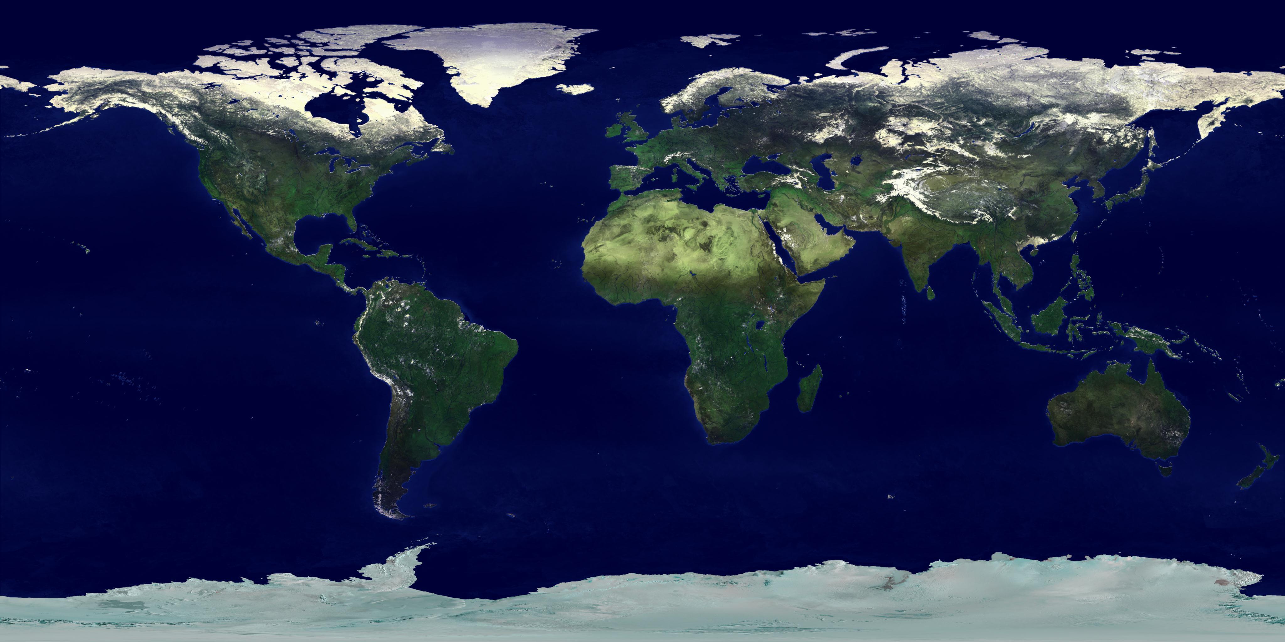
Whole World land and ocean map

World and Africa detailed topography map
World and Europe Satellite map
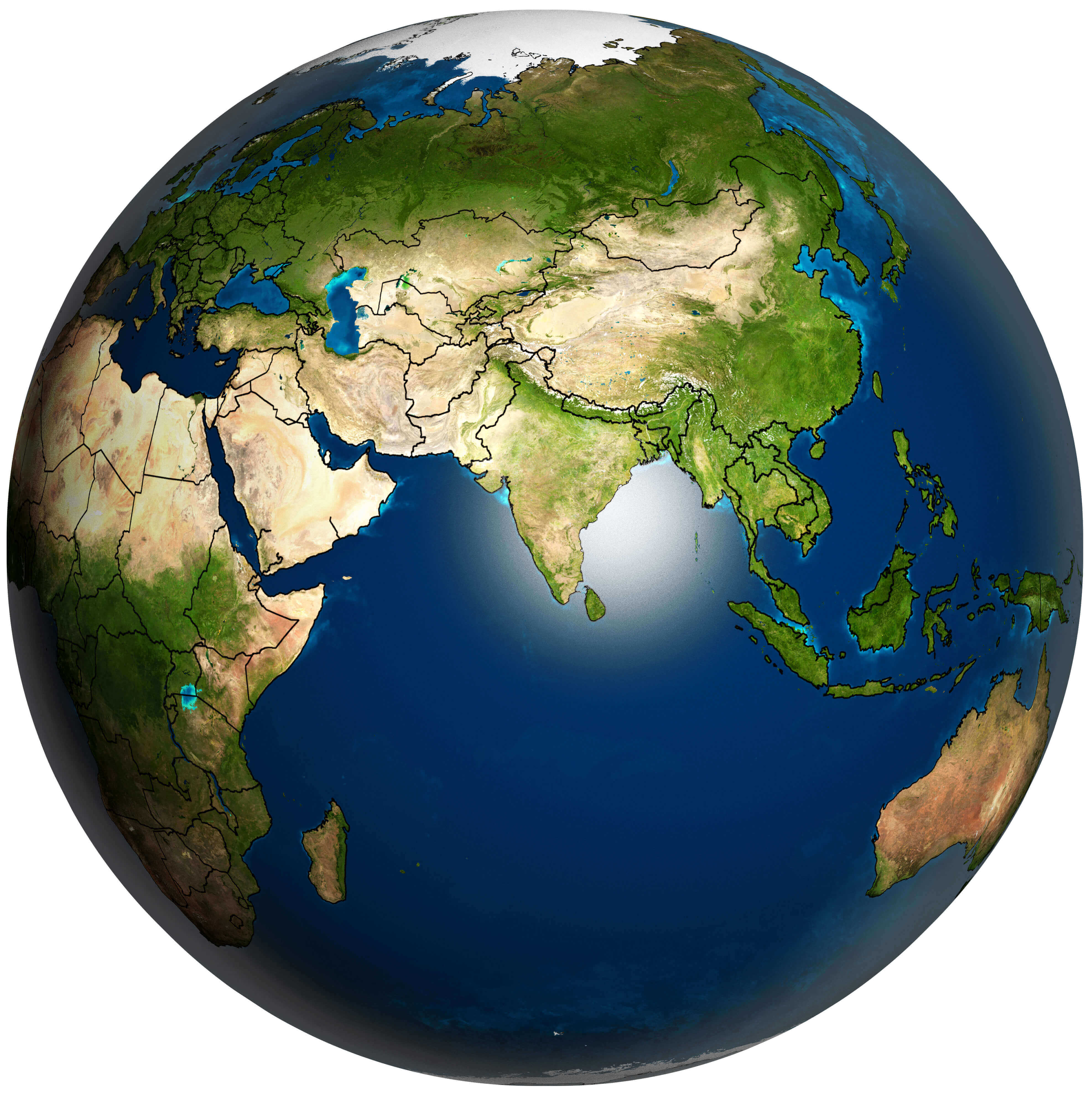
World Asia and the Earth map
World city lights Satellite map
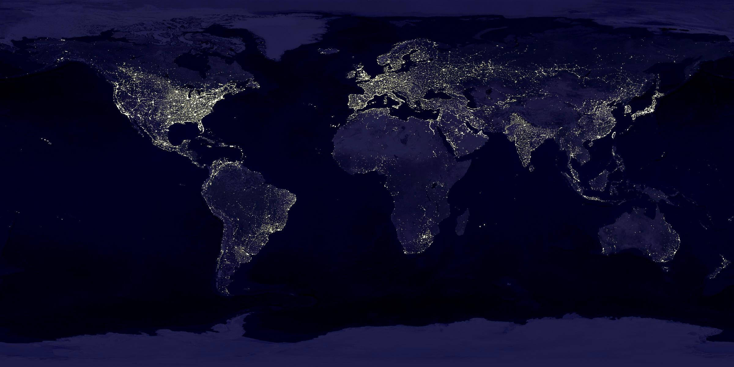
World Europe Satellite map in the night
World land shallow topo map
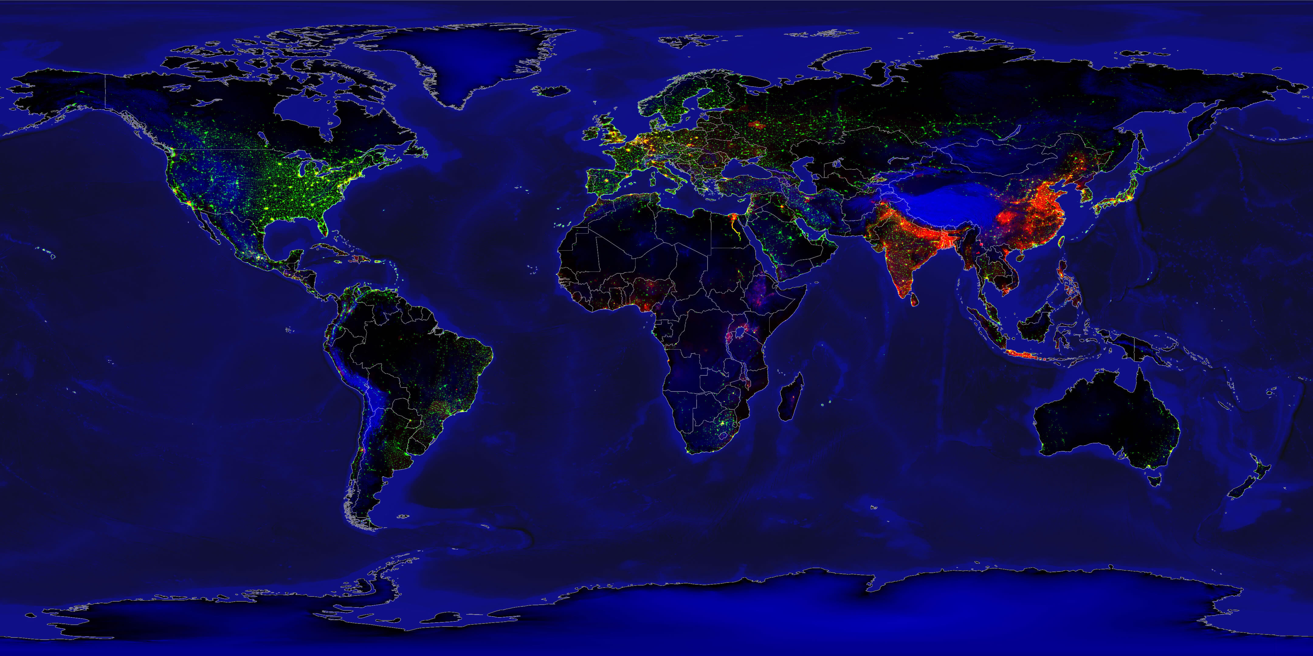
World lights vs population density map
World map region outlines
World pathfinder Satellite map
World physical map of Europe and Asia
World Satellite blank topographic map
World Satellite map from Space
World Satellite map
Feel free to explore these pages as well:
- World Map
- World
- Europe Population Map Countries 2006
- More World Map
- Map of the World
- Map of World
- World Maps
- World Political Map
- World Atlas
- World Map with Countries
- World Map Collection
- World Population Map
- World Wallpapers Maps
- Large World Maps
- Download World Map
- World Map in High-Resolution
- Free HD World Map
- World Continent Map
- Head of Performance Marketing
- Head of SEO
- Linkedin Profile: linkedin.com/in/arifcagrici