Oceania Maps Collection: Political, Physical, and Regional Maps
Explore a comprehensive Collection of Oceania Maps featuring political, physical, regional, and thematic maps of Australia, New Zealand, Micronesia, Polynesia, and Melanesia for education, research, and travel planning.
Oceania map with Australia highlighted
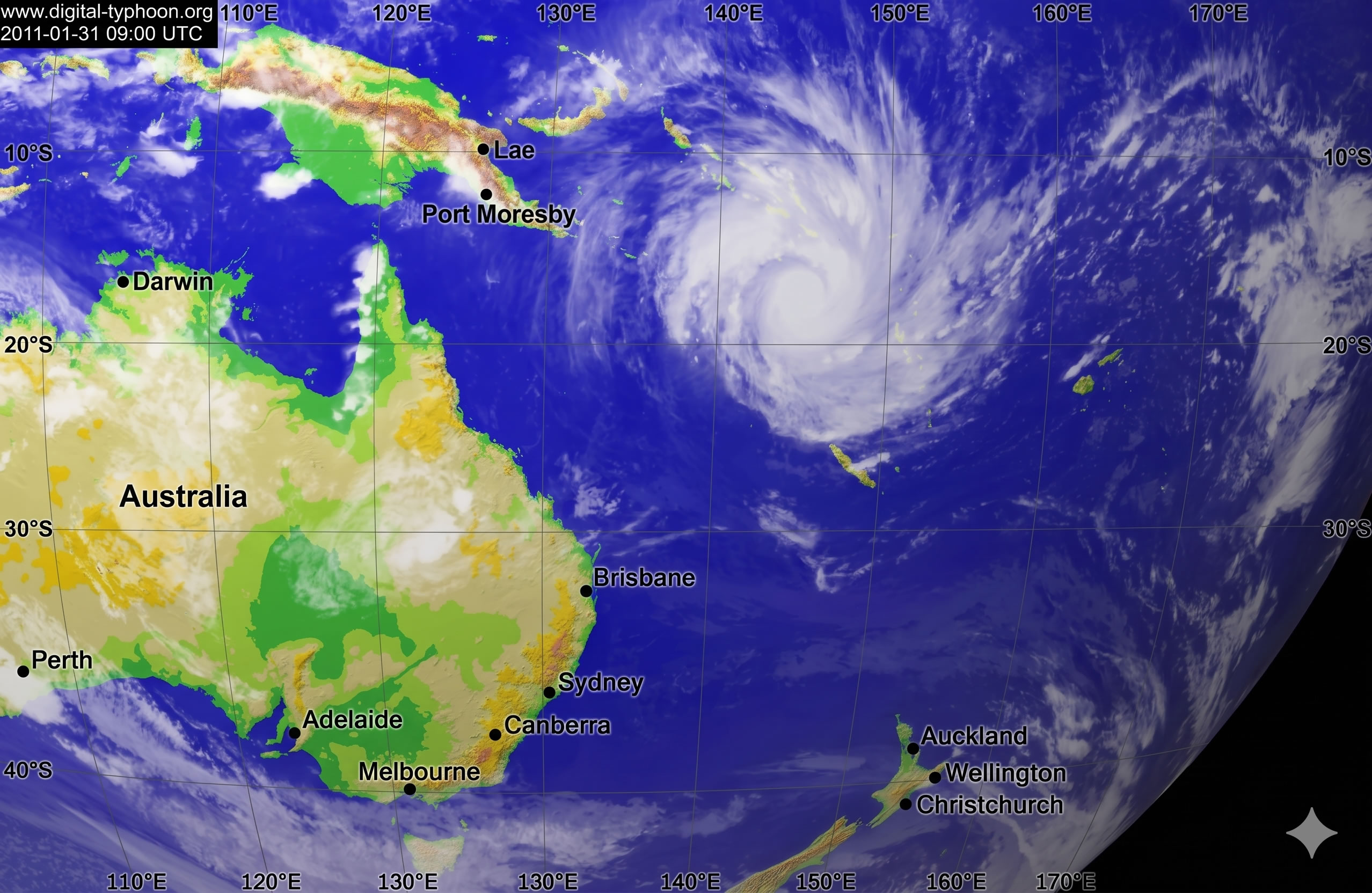
Oceania map Pacific ocean cyclone
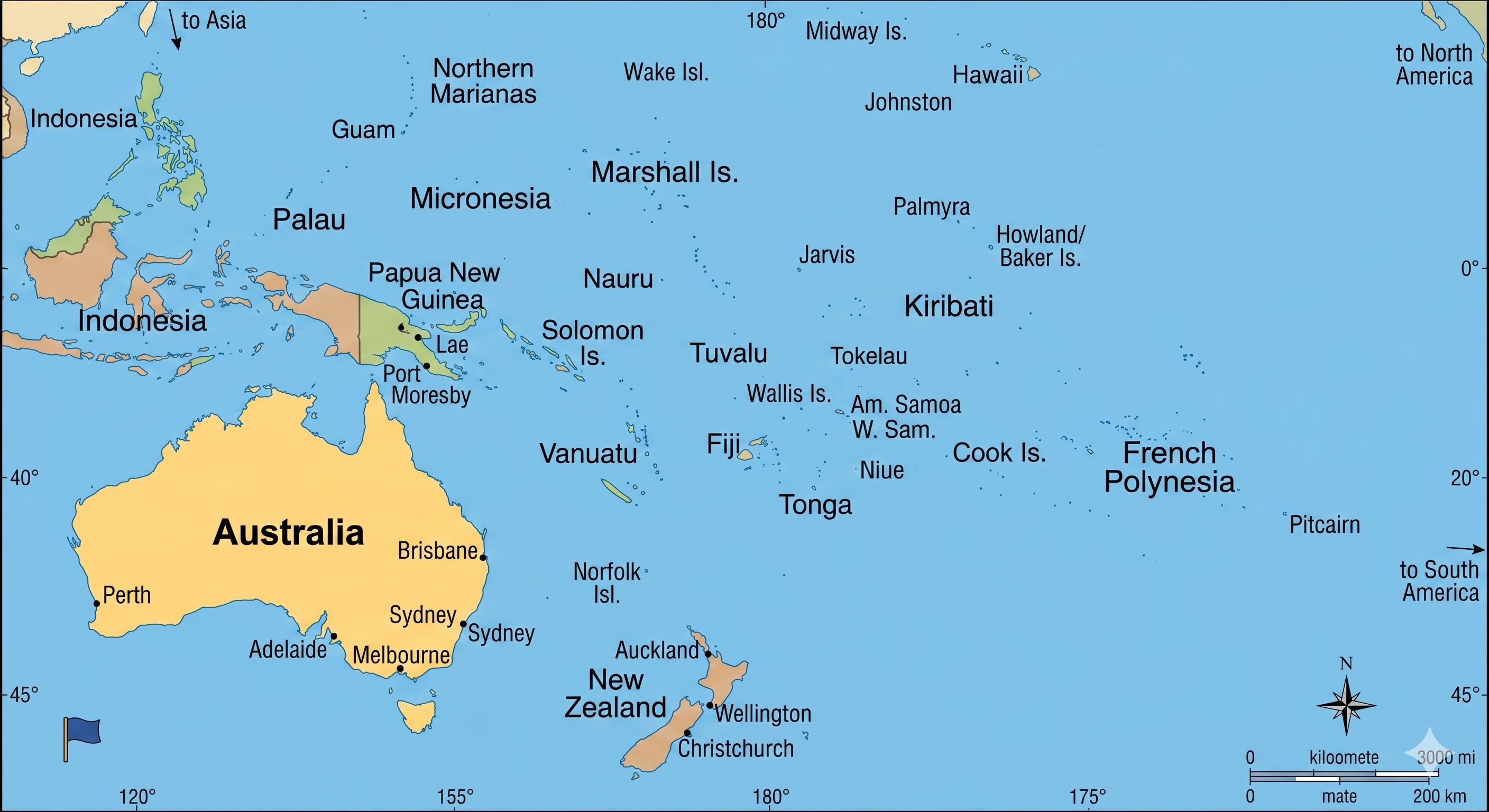
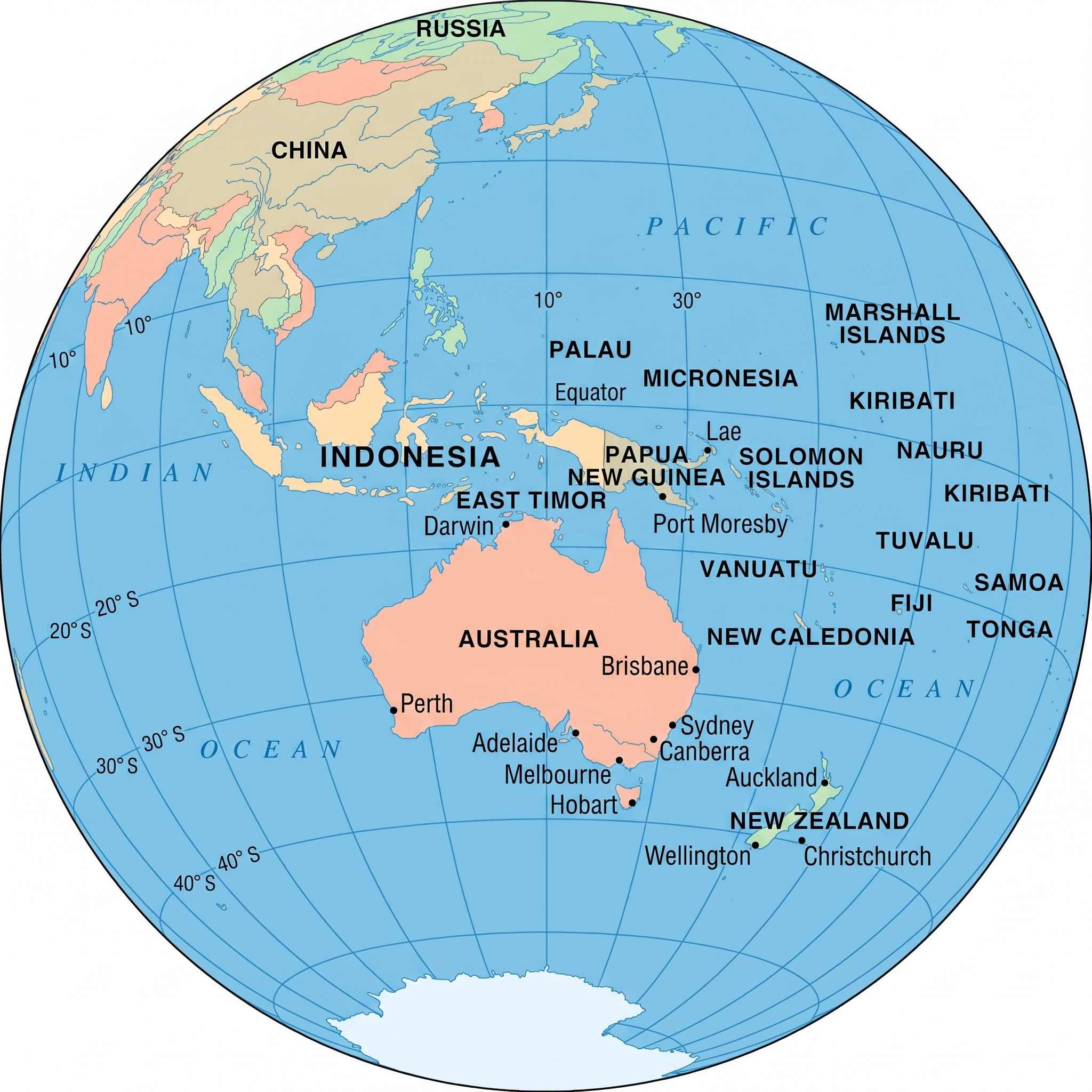
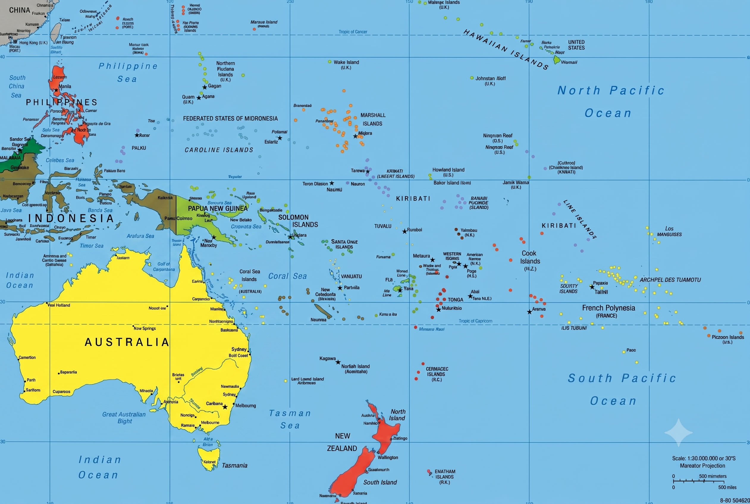
Oceania map with capital cities
In addition to political and regional maps, the collection features specialized resources such as an Oceania Islands geographic map, Oceania map with pipelines and shipping routes, Oceania Pacific Ocean cyclone map, and an Oceania World map that illustrates the region’s position on the globe. Whether you are studying island groups, transportation networks, weather patterns, or the relationship between New Zealand, Australia, and the wider Pacific, these Oceania maps offer accurate and informative visual references for students, researchers, travelers, and geography enthusiasts.
Oceania Island groups geographic map
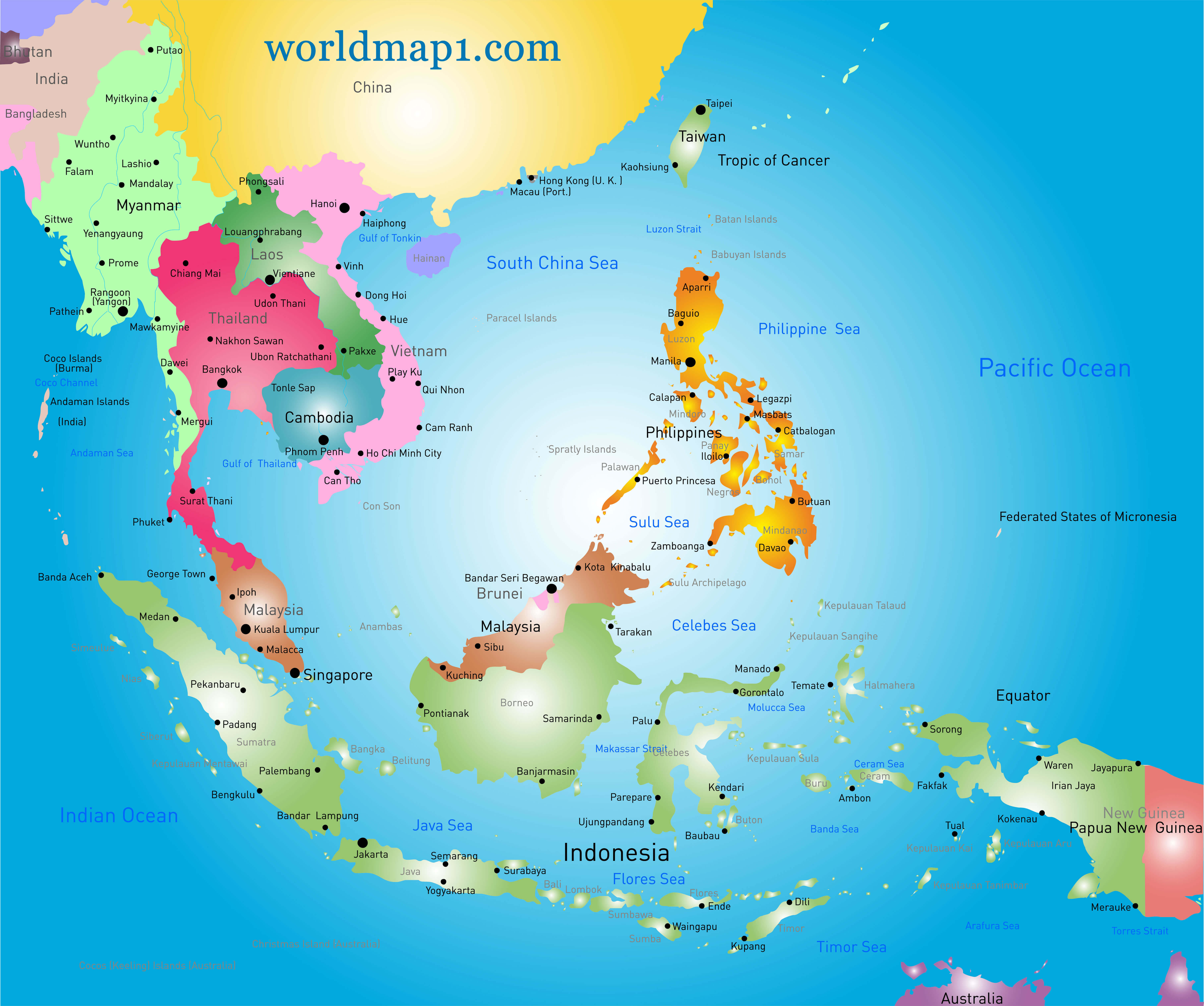
Oceania map Southeast Asia
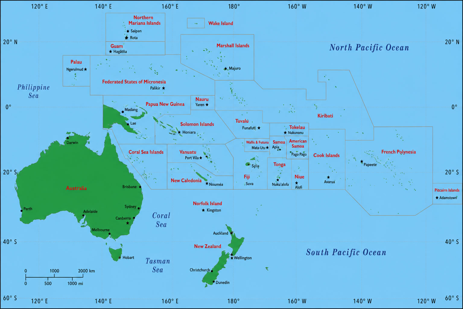
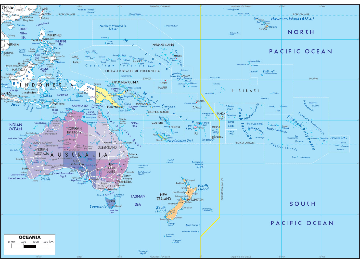
Oceania Islands geographic map
Oceania map collection
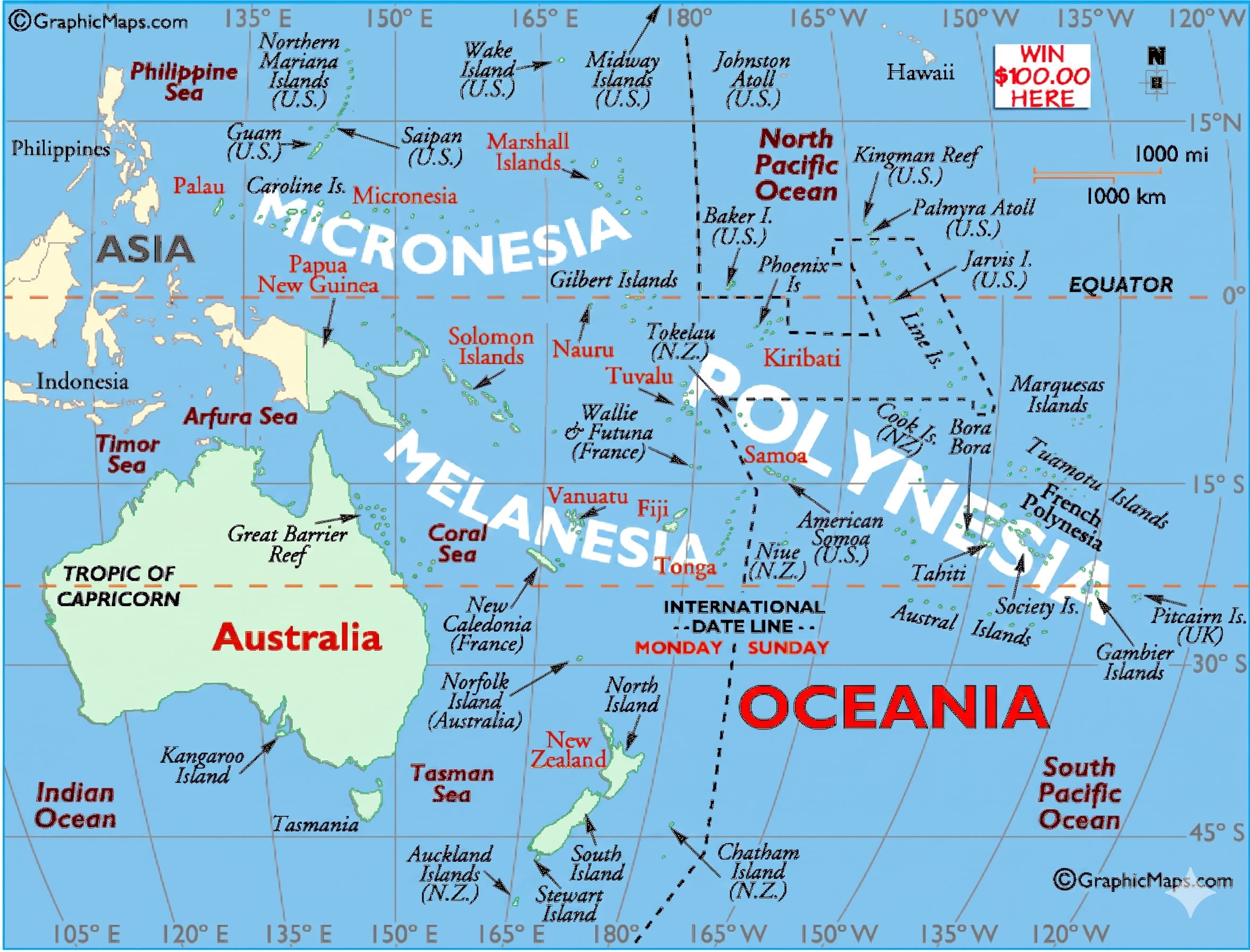
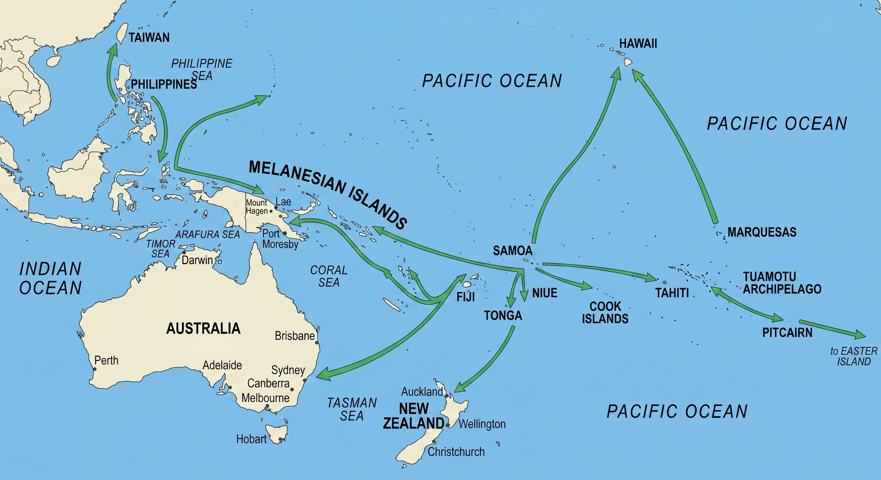
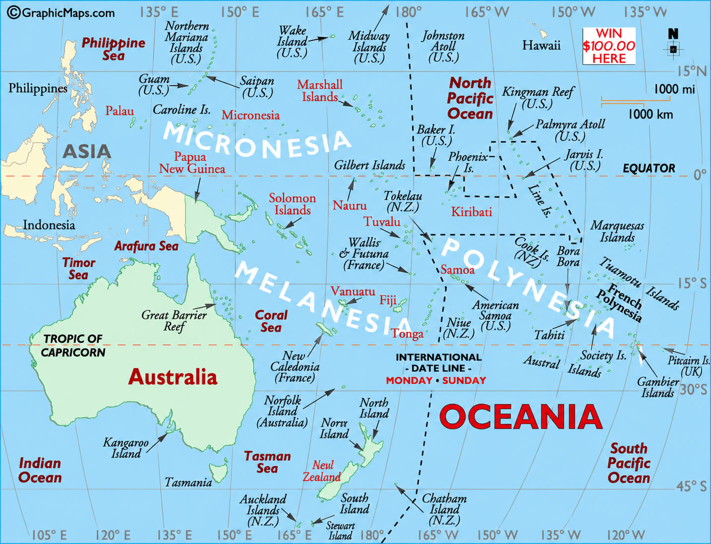
The collection also includes specialized maps showcasing the major subregions of Micronesia, Polynesia, and Melanesia, helping users gain a deeper understanding of Oceania’s cultural and geographic diversity. Whether you are studying Pacific island nations, researching regional divisions, or planning travel across Oceania, these detailed maps offer accurate and informative visual resources for a wide range of educational and practical purposes.
Oceania map World
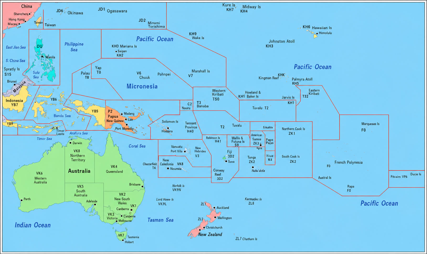
Oceania political boundaries map
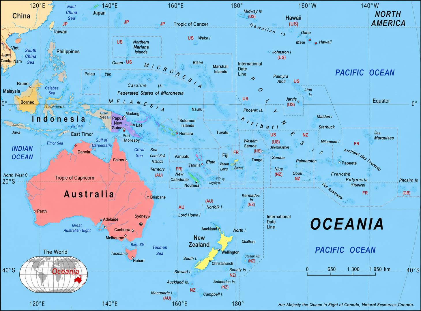
Oceania political map New Zealand and Australia
Oceania maps
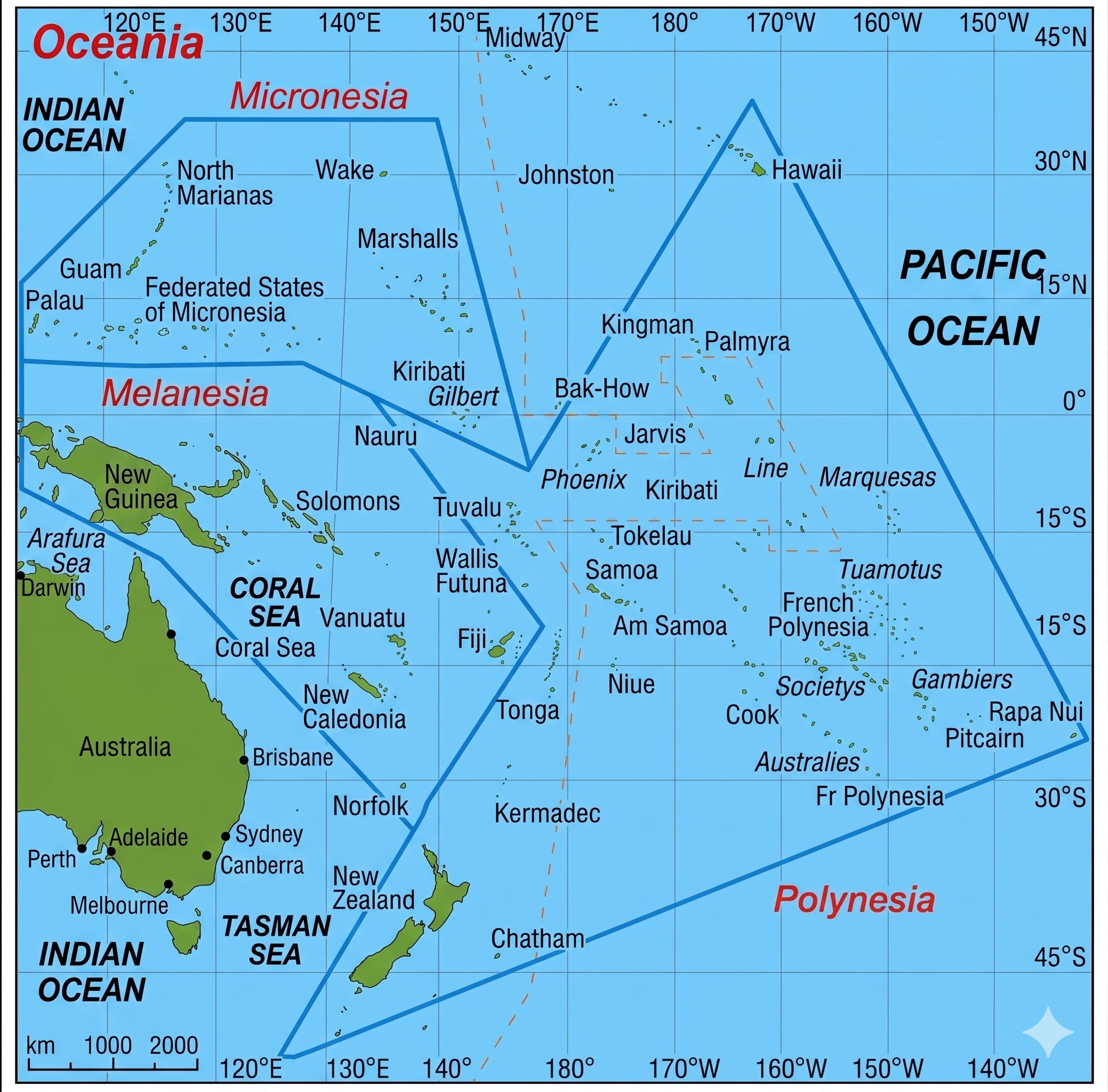
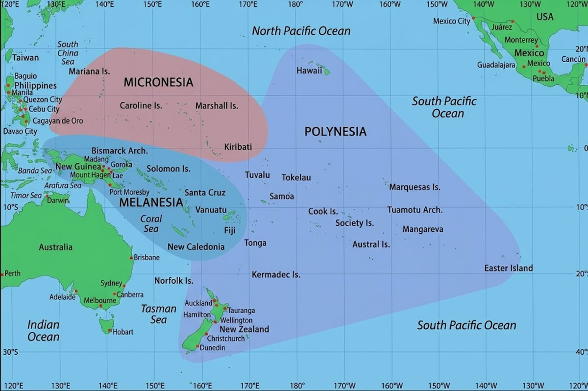
Oceania map with Micronesia Polynesia and Melanesia
Oceania map with pipelines and shipping routes
Oceania map
Oceania political map
Feel free to explore these pages as well:
- Head of Performance Marketing
- Head of SEO
- Linkedin Profile: linkedin.com/in/arifcagrici