Navigate map of South America, South America country maps, satellite images of the South America, South America largest city maps, political, physical map of South America, driving directions and traffic maps.
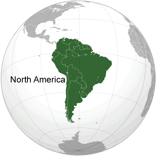
World Continents Map
Europe Map Asia Map North America Map Africa Map Oceania Map Antarctica MapMap of South America
Please view more South America Countries Maps
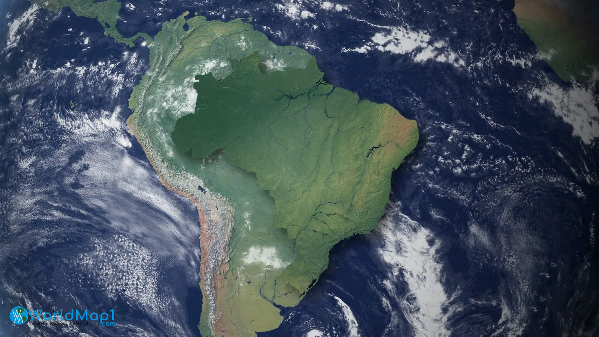
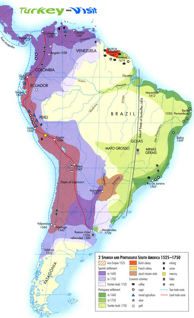
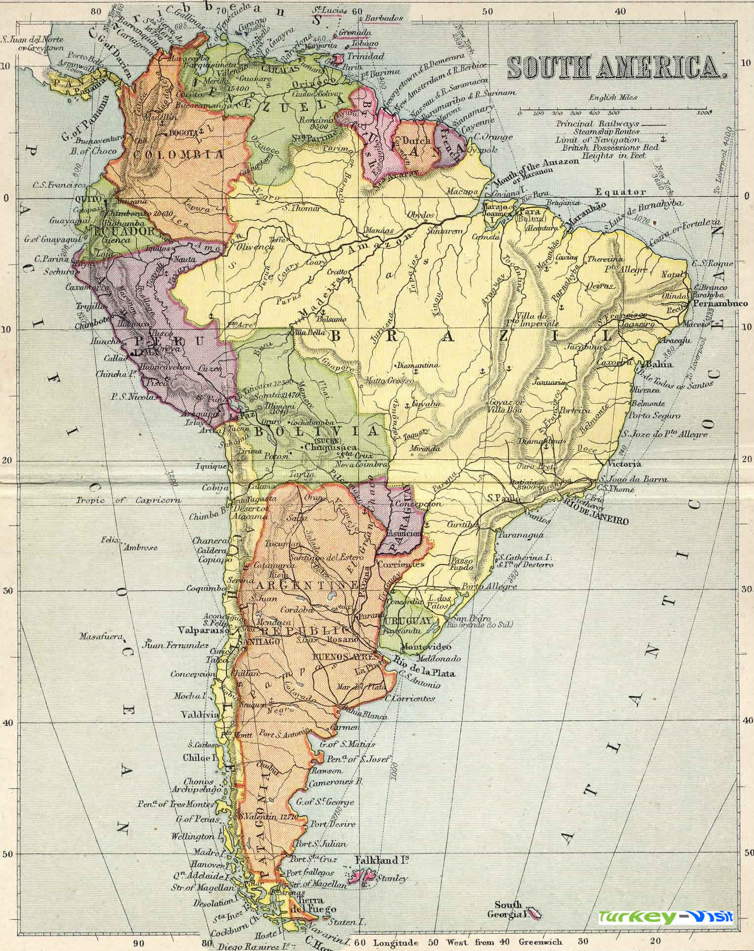
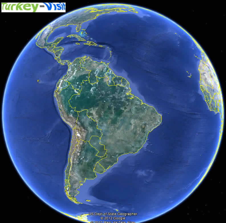
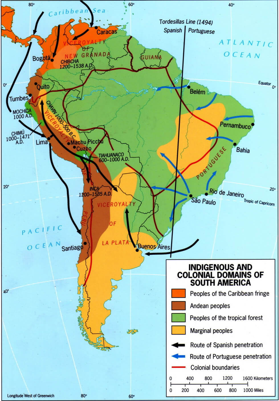
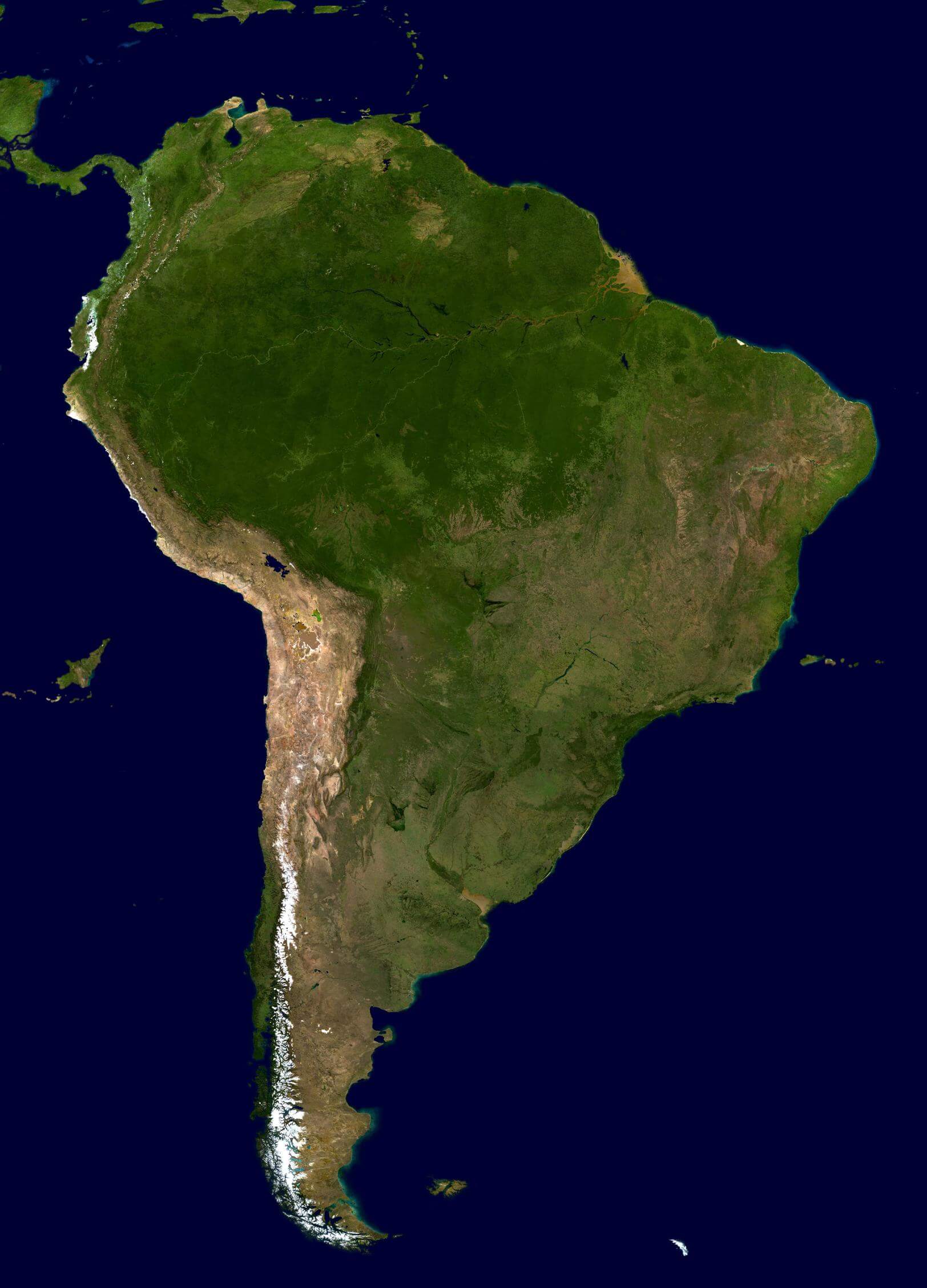
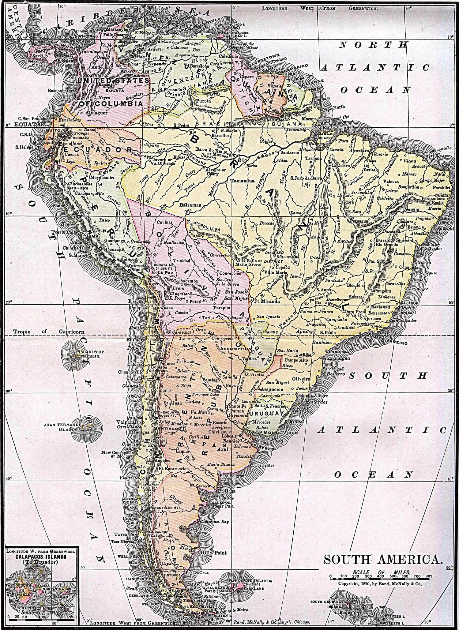
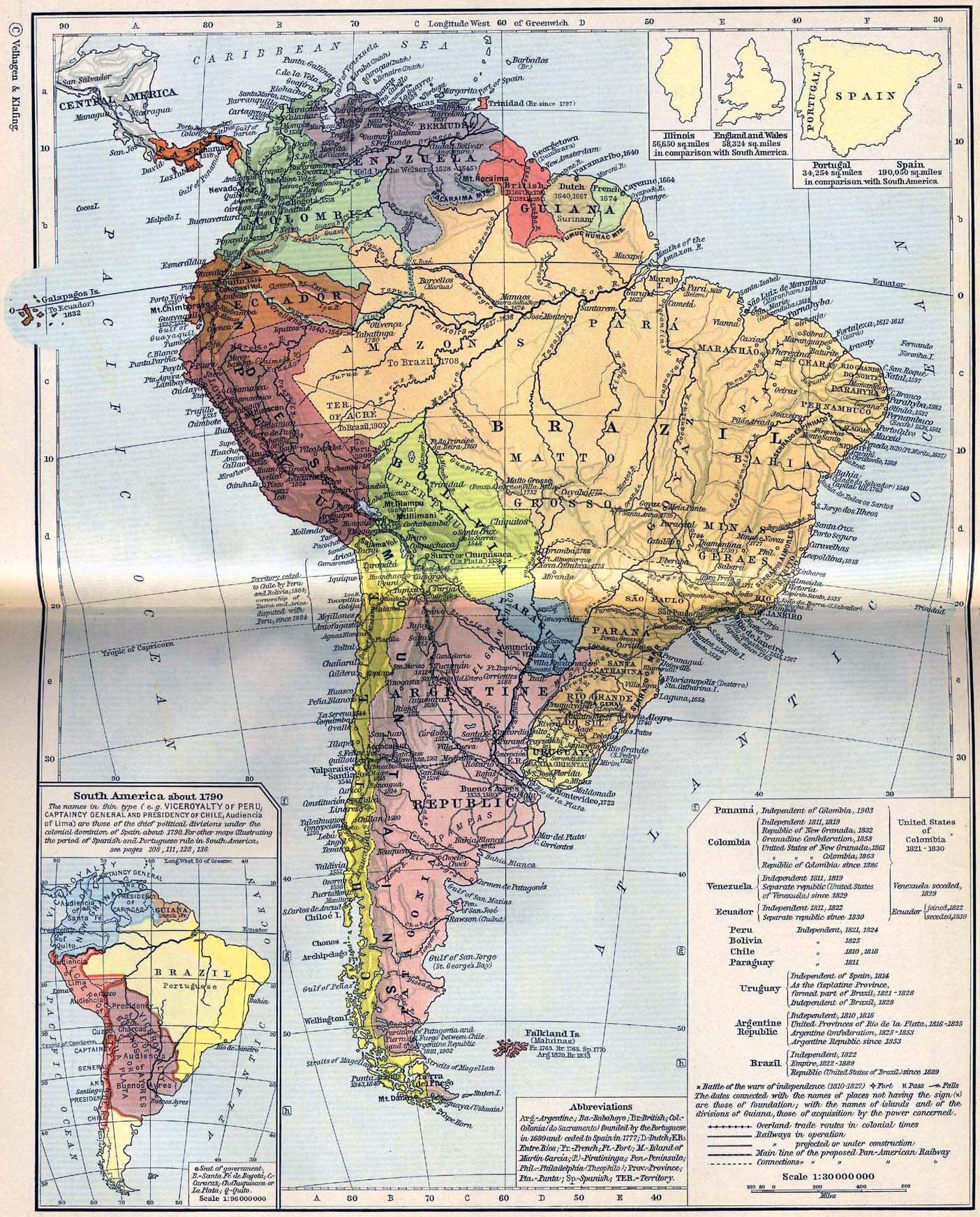
- South America Countries Maps, Satellite Images from Space 1
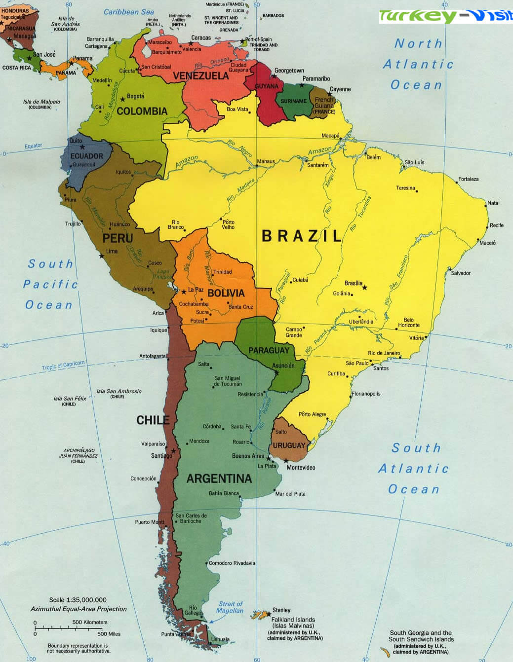
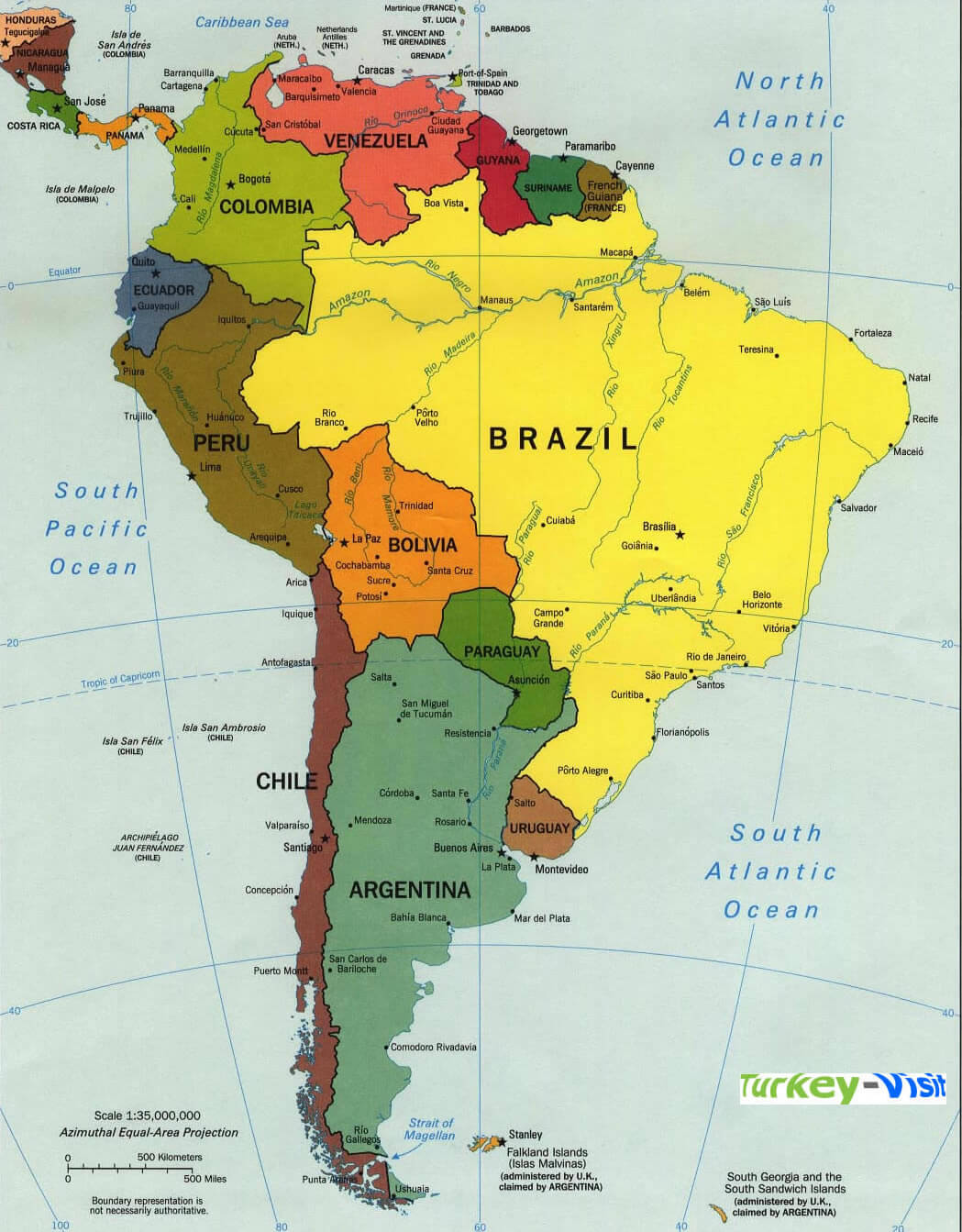
- South America Countries Maps, Satellite Images from Space 2
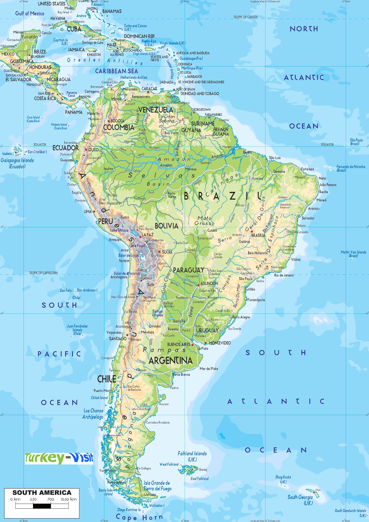
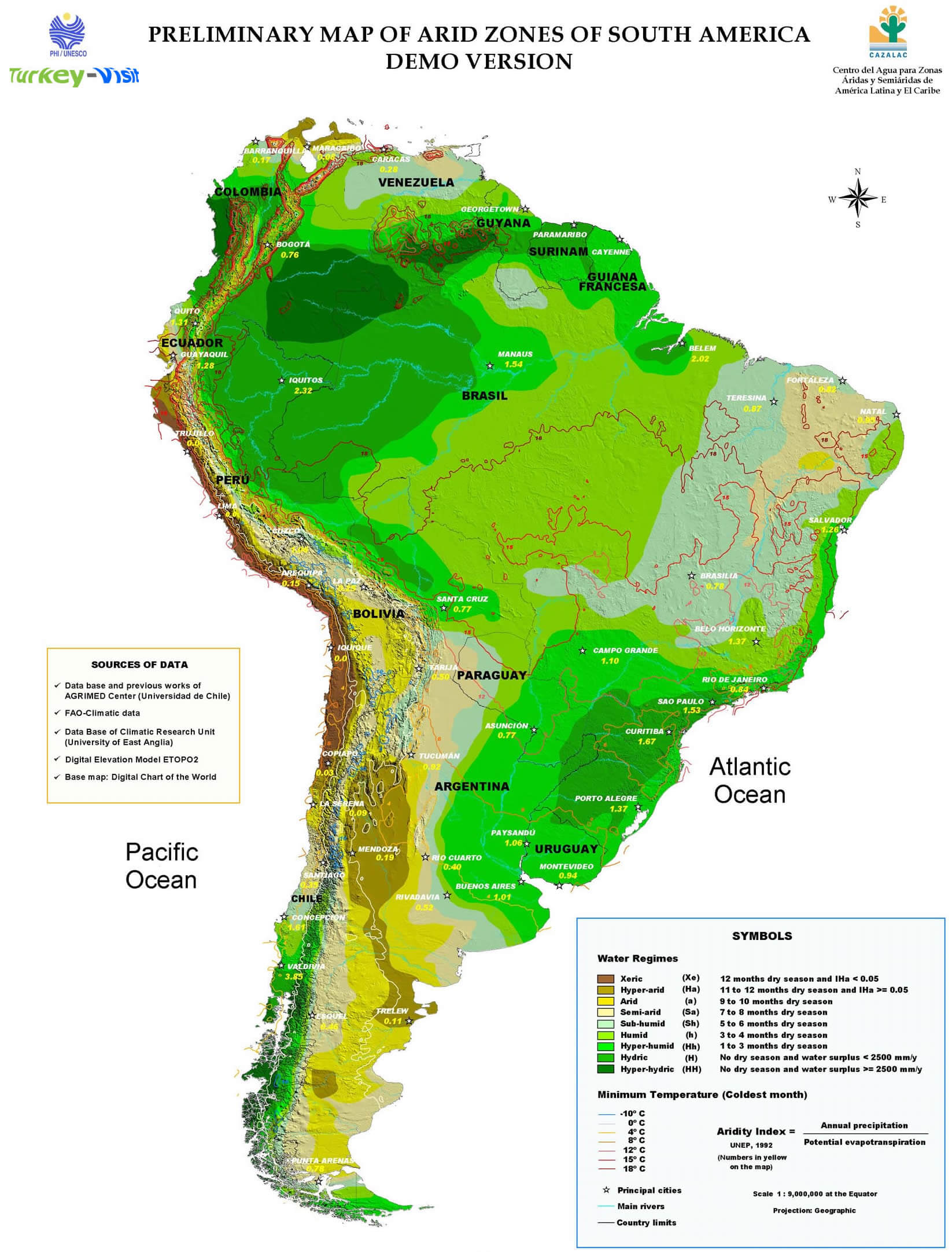
- South America Countries Maps, Satellite Images from Space 3
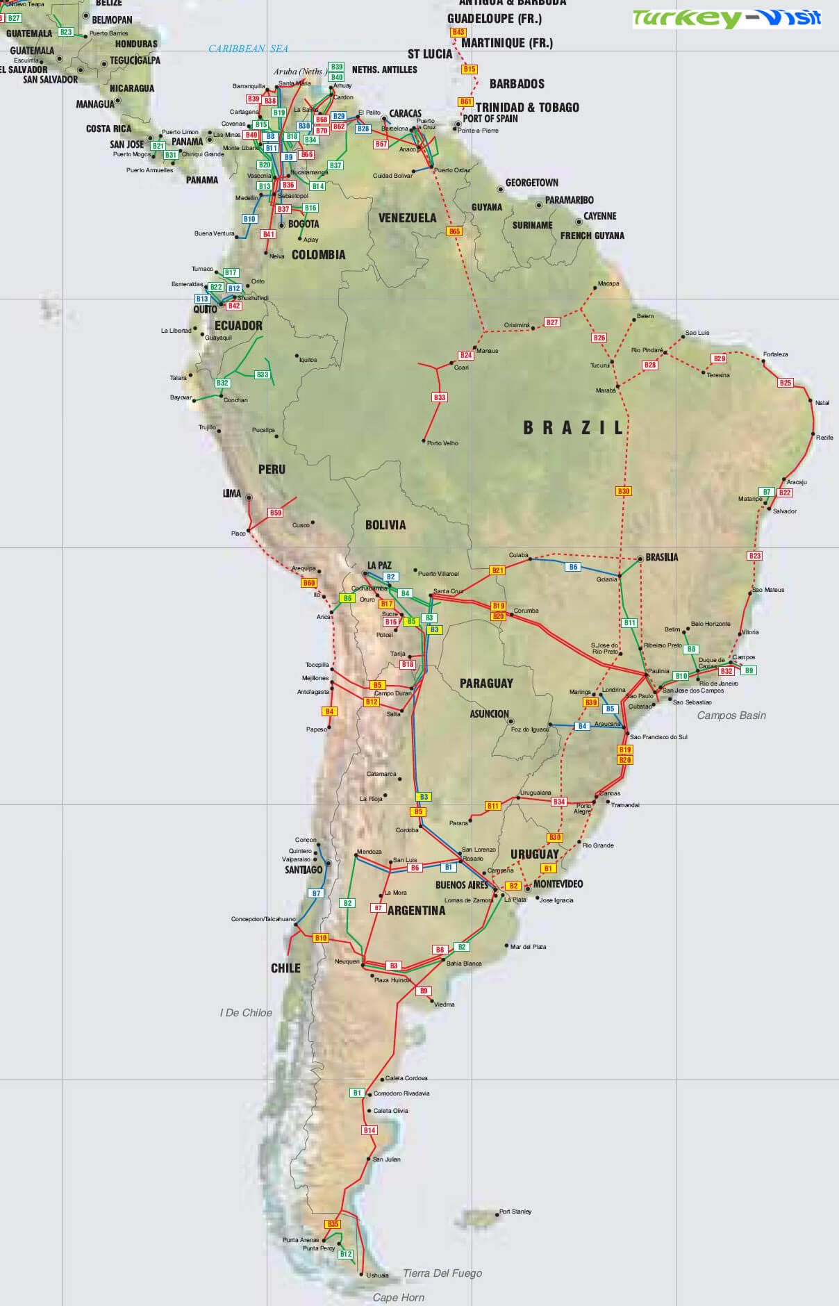
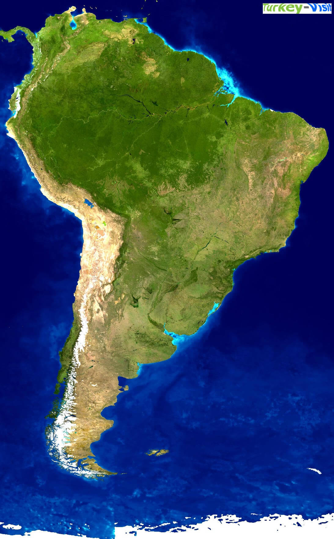
- South America Countries Maps, Satellite Images from Space 4
- South America Countries Maps, Satellite Images from Space 5
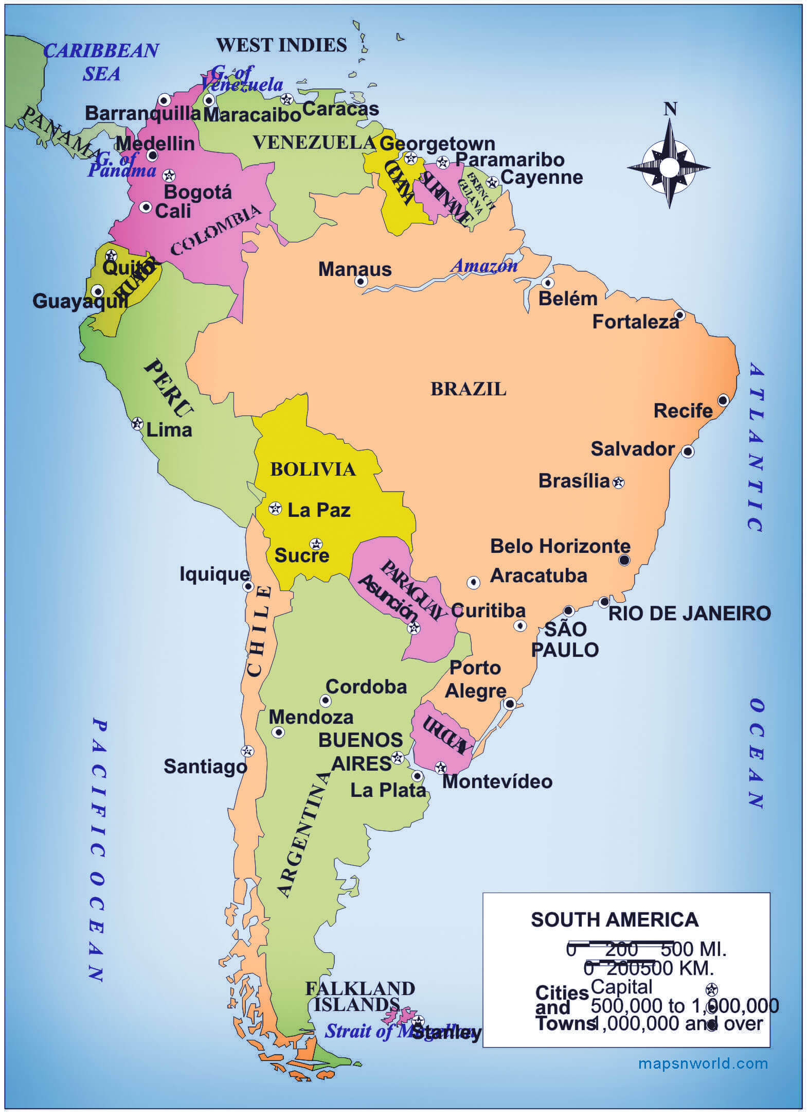
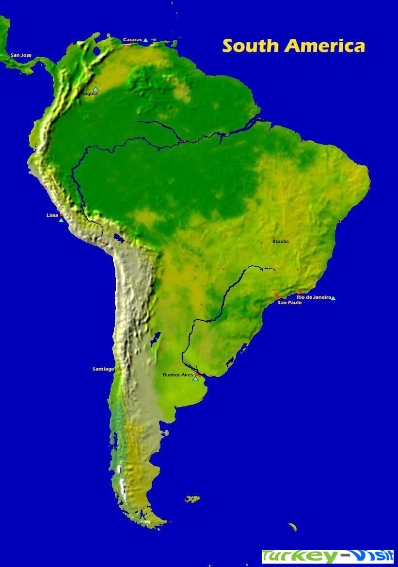
South America and Brazil Map
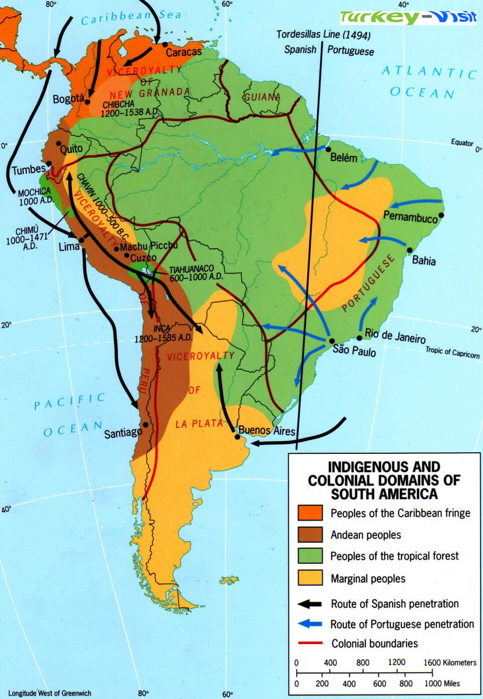
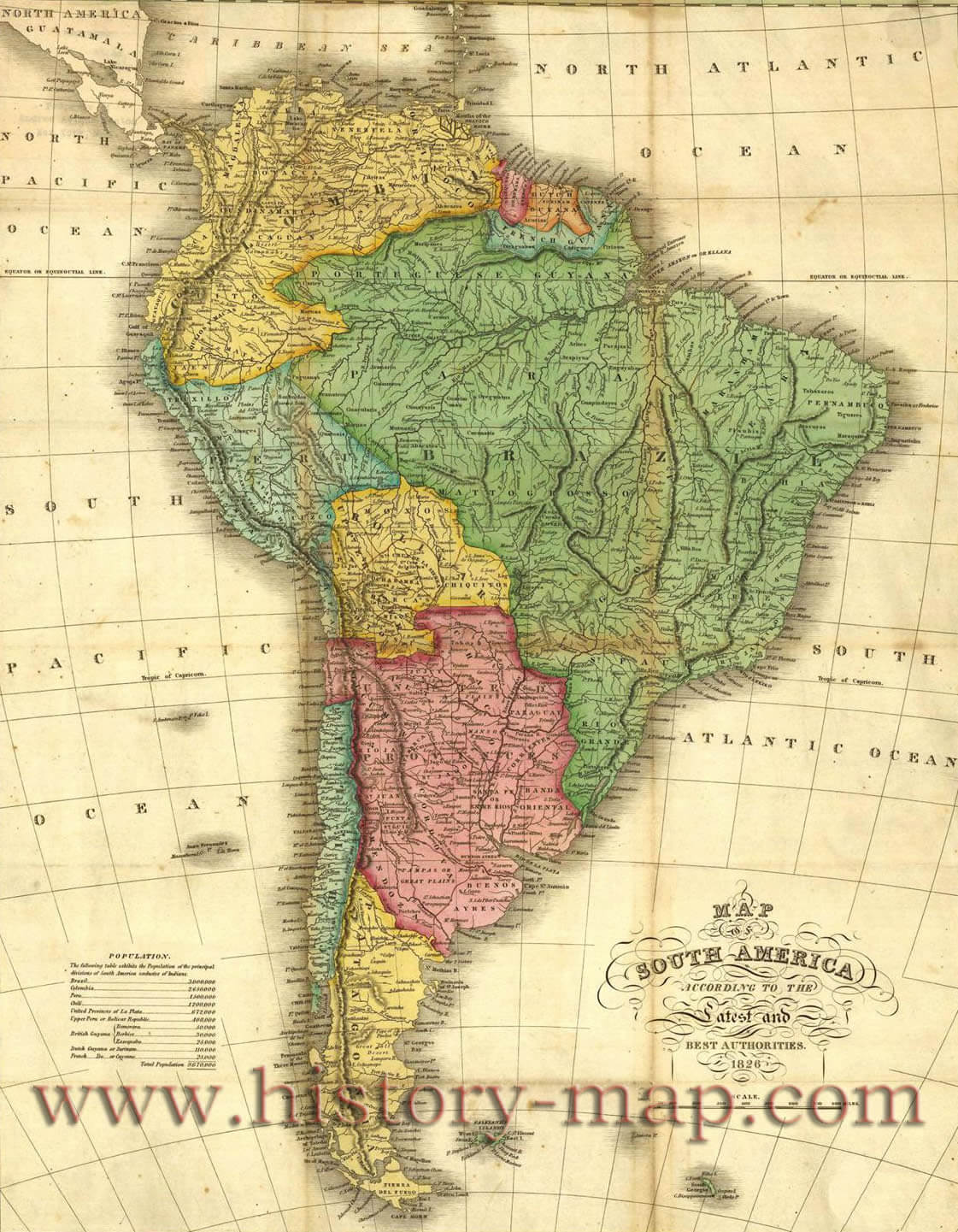
A collection of South America Maps
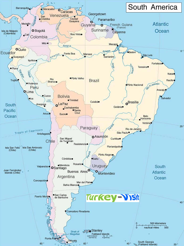


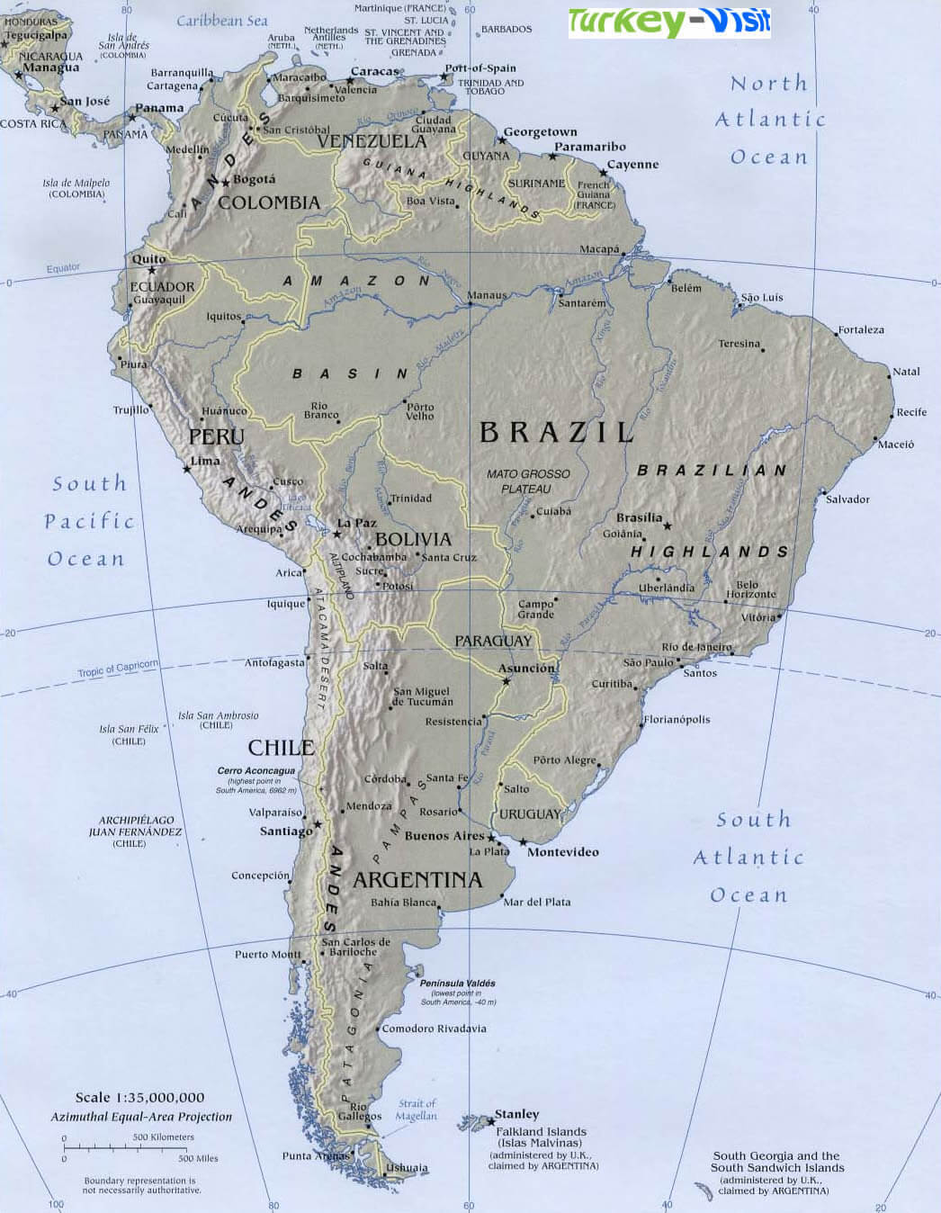
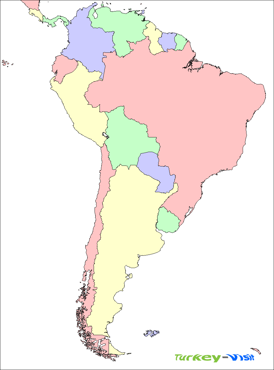
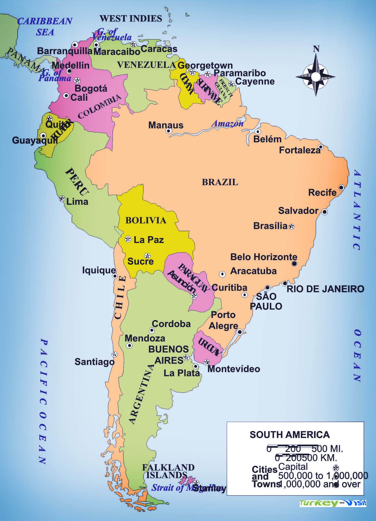
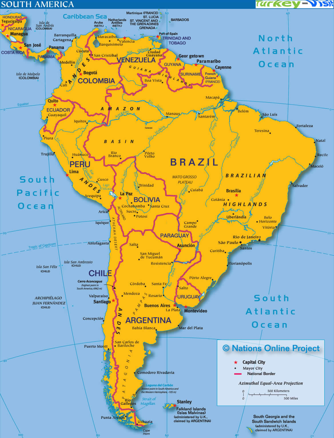

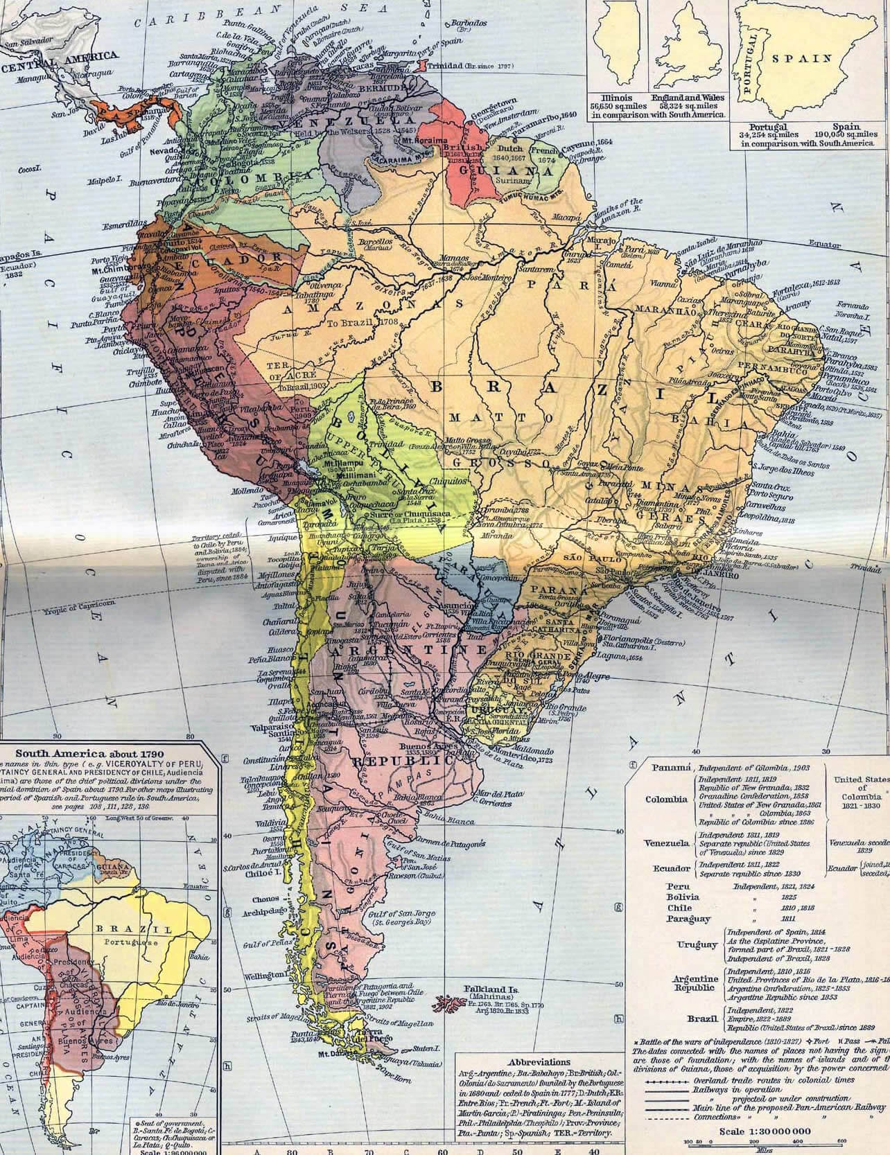
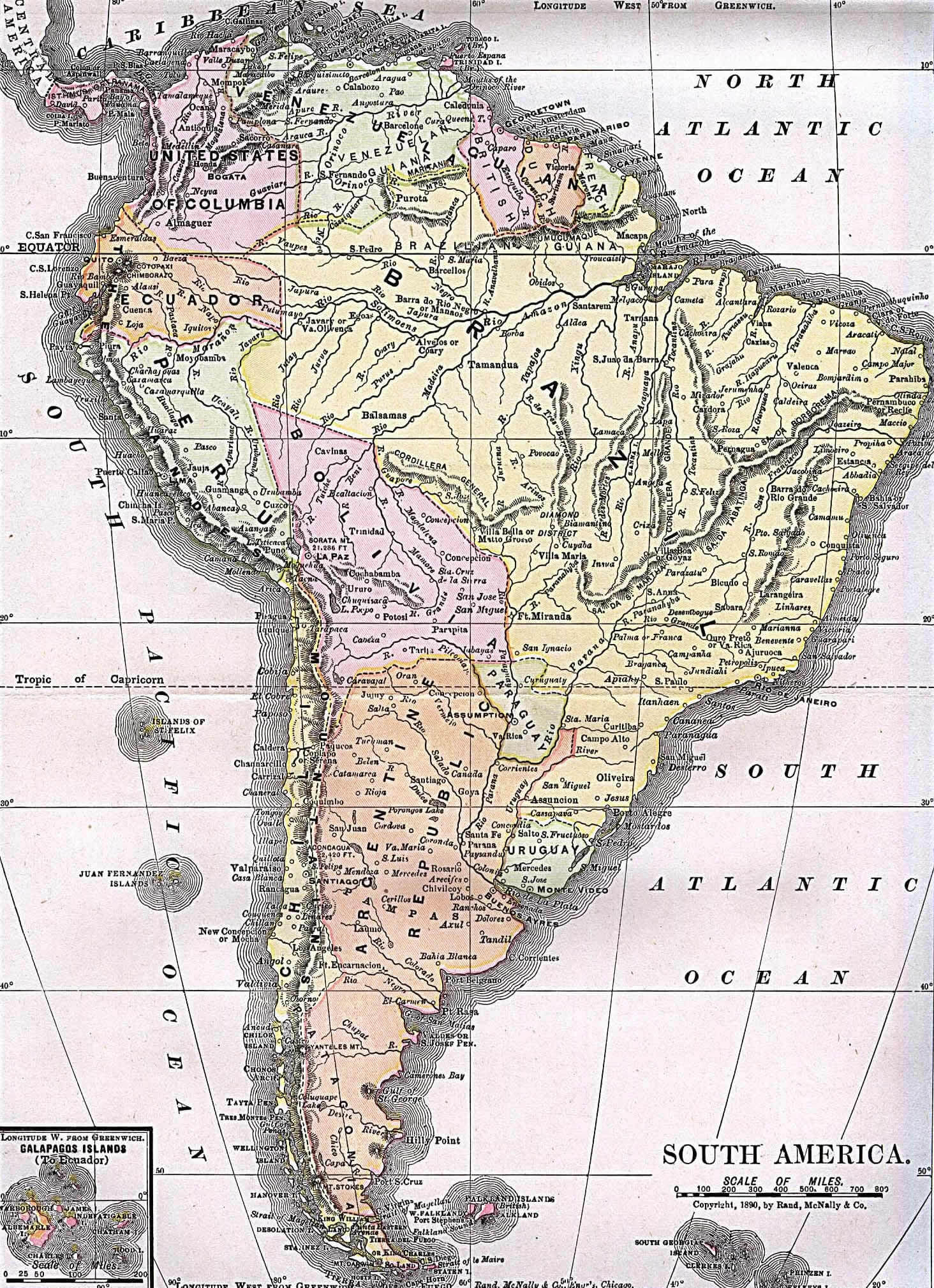
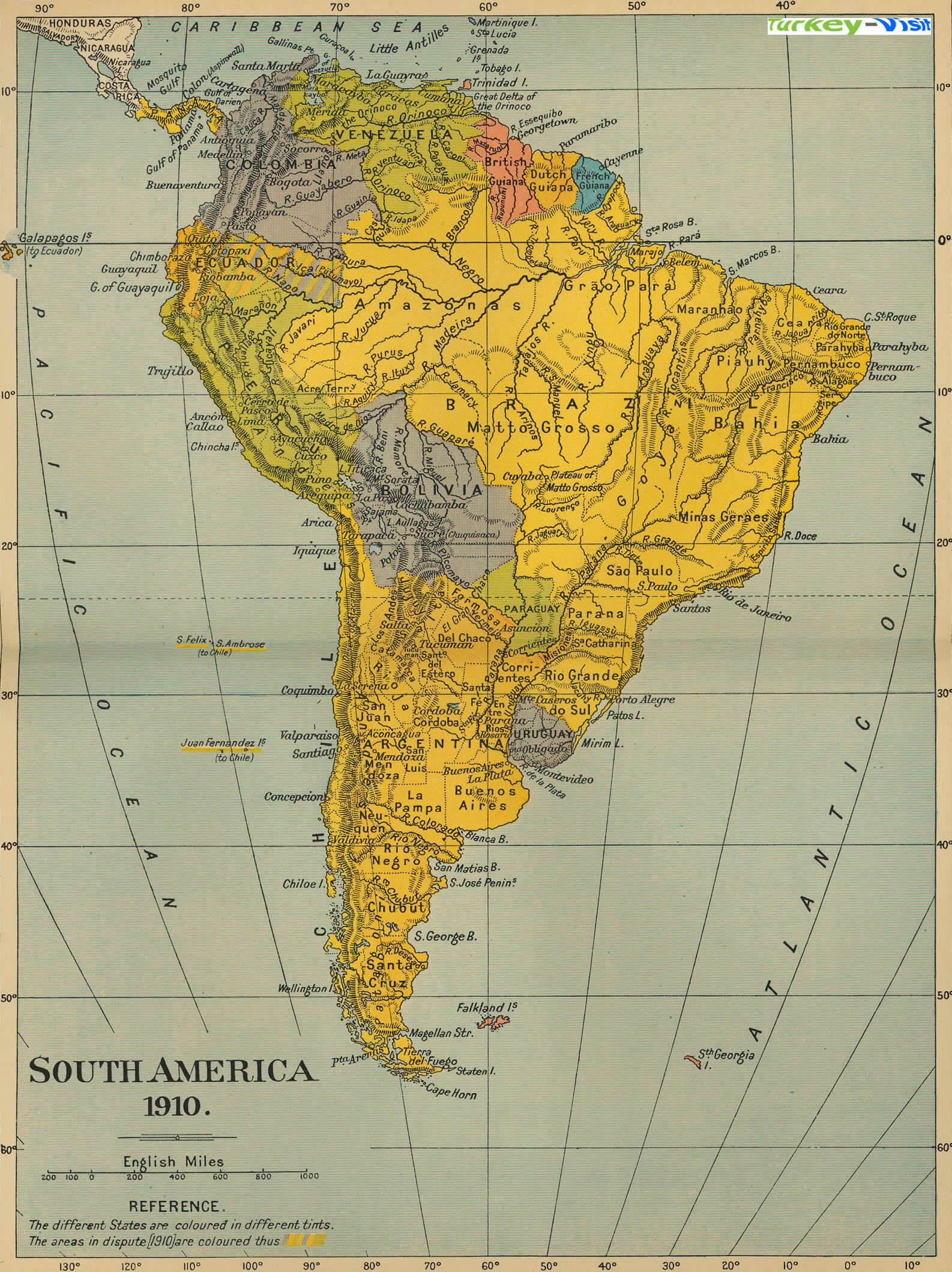

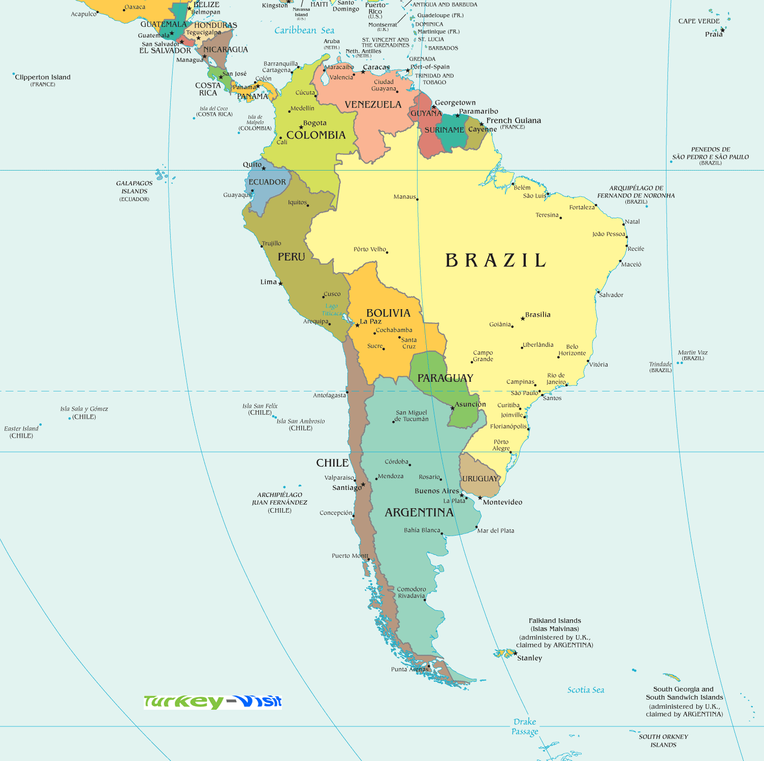

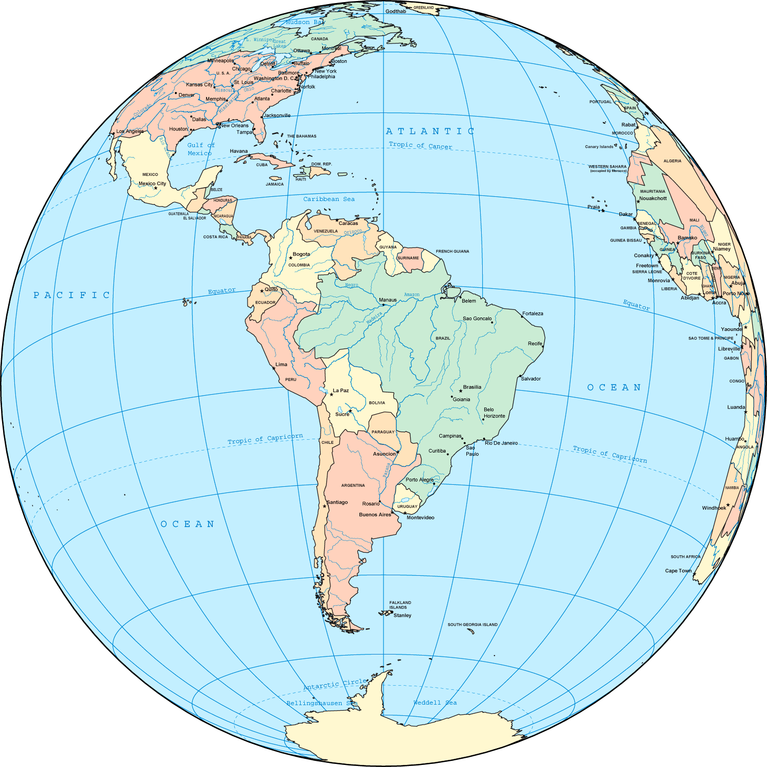
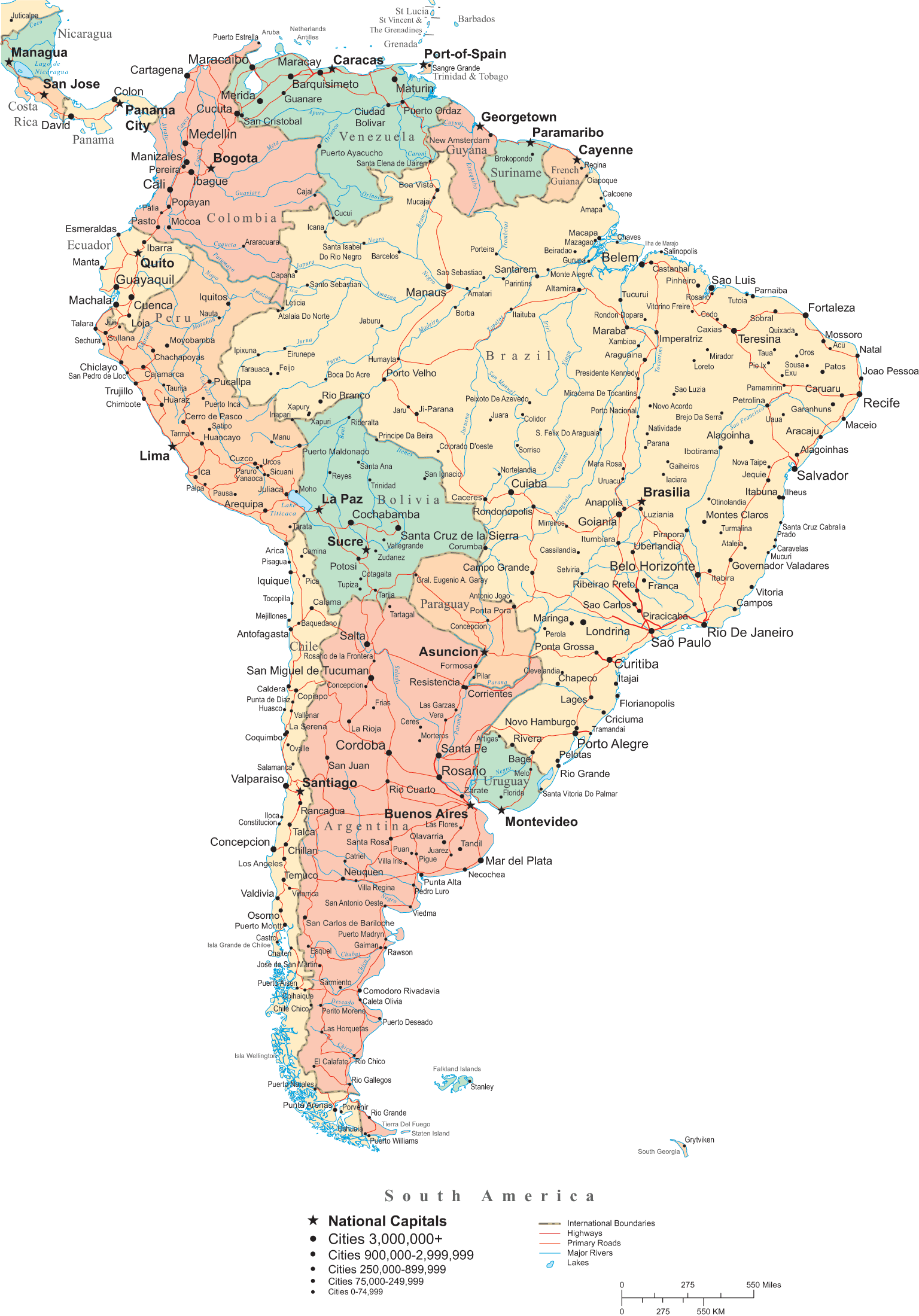
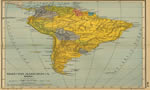
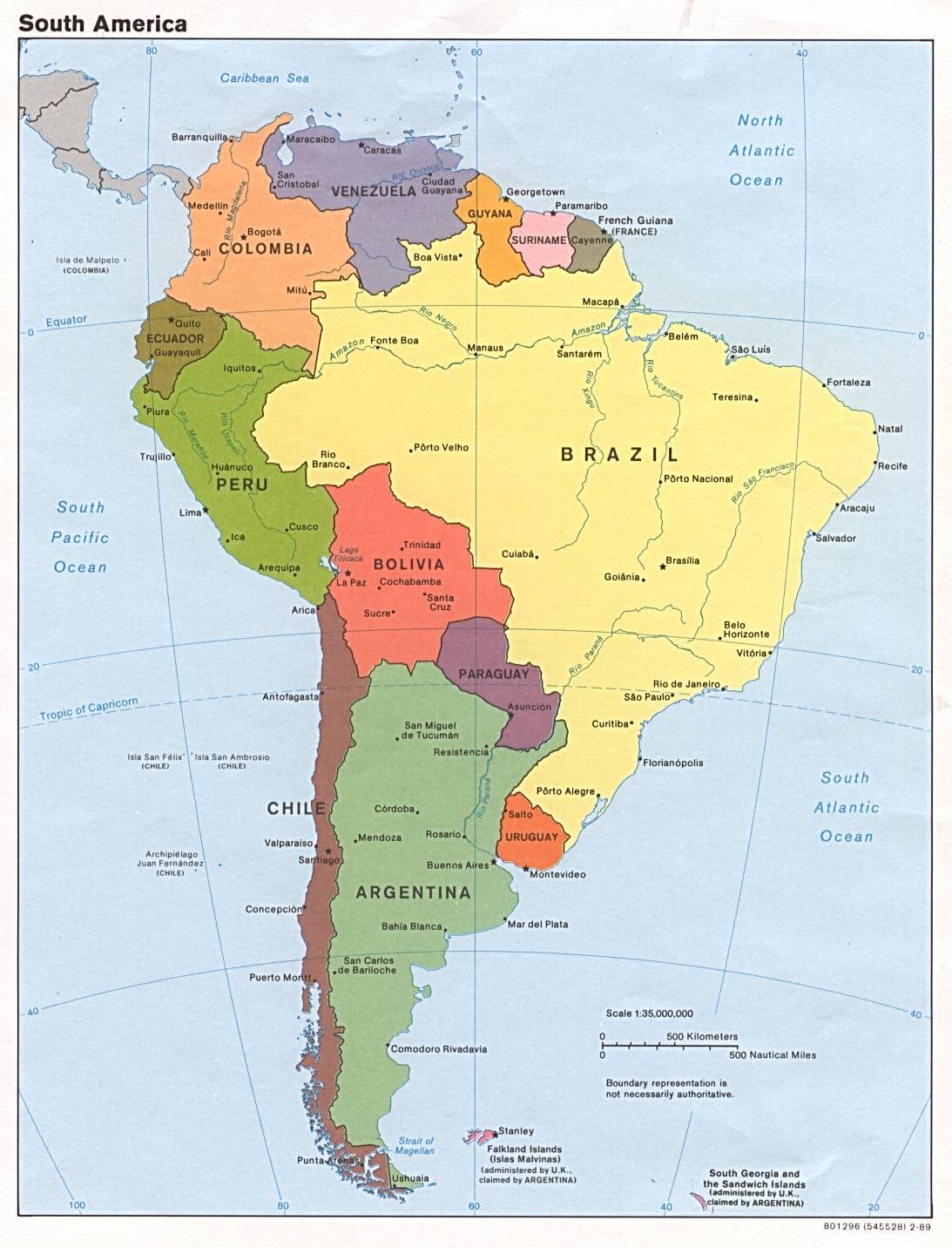
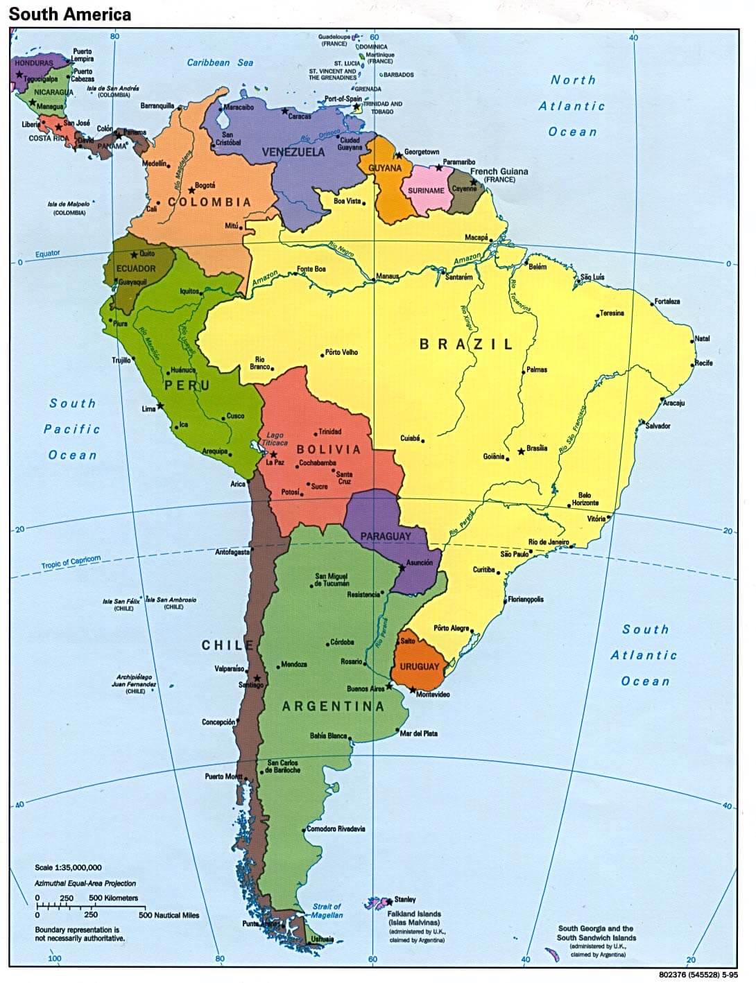
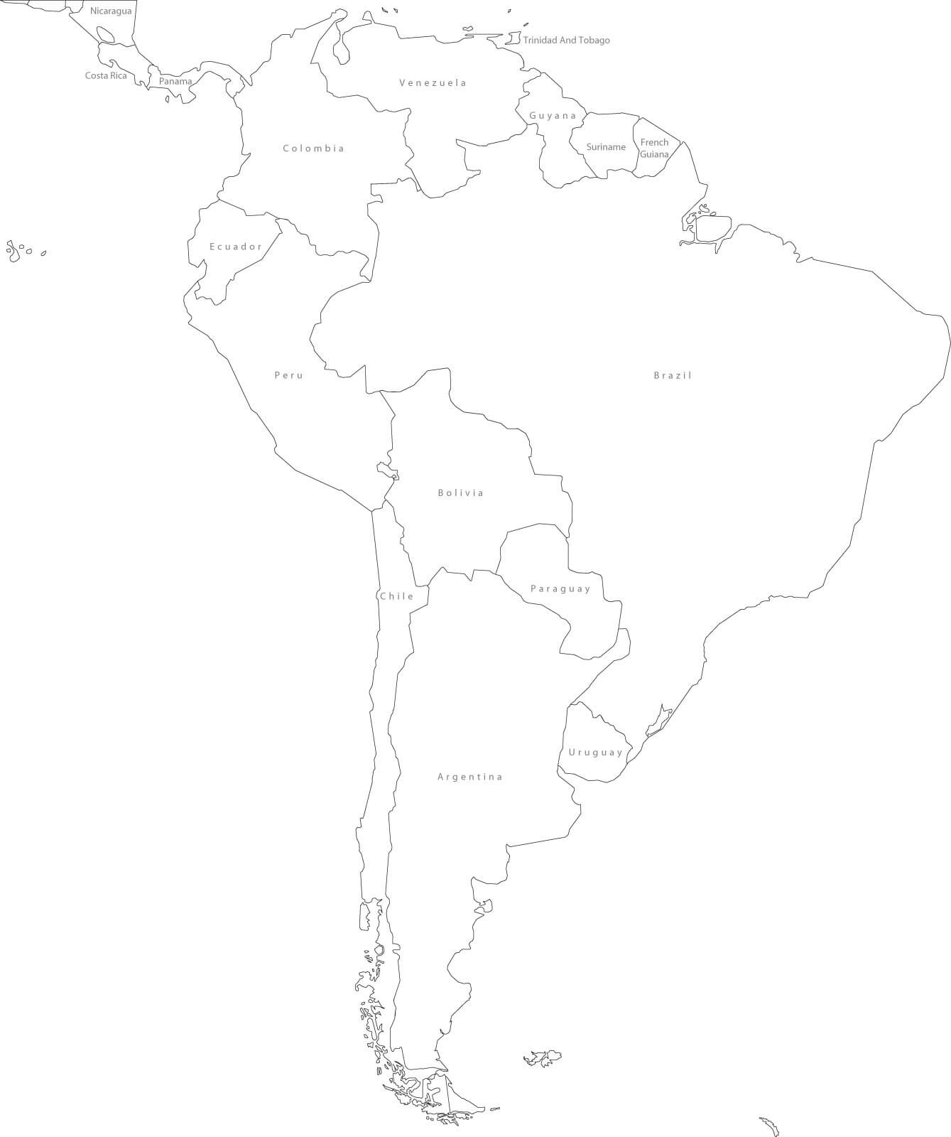
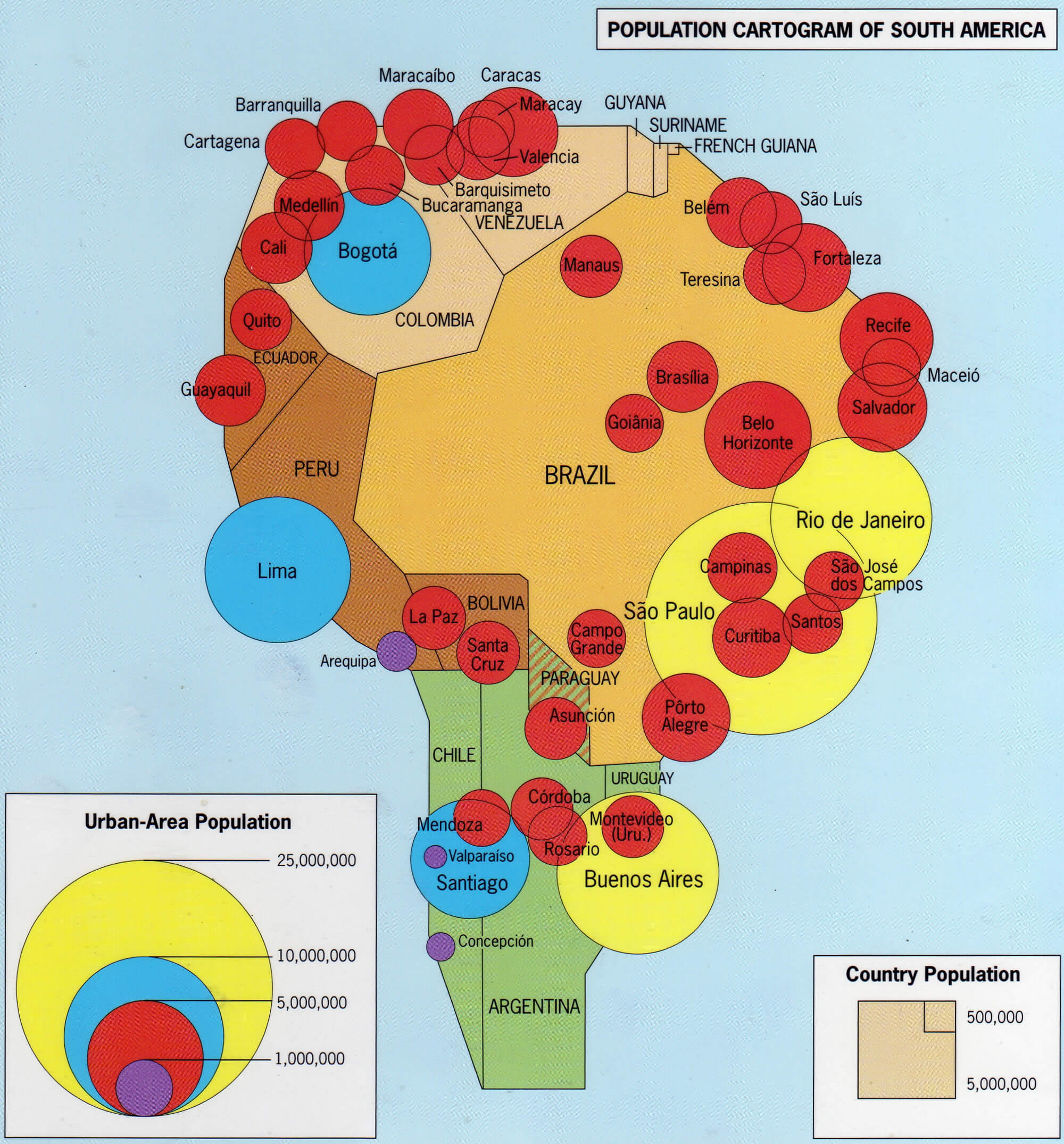
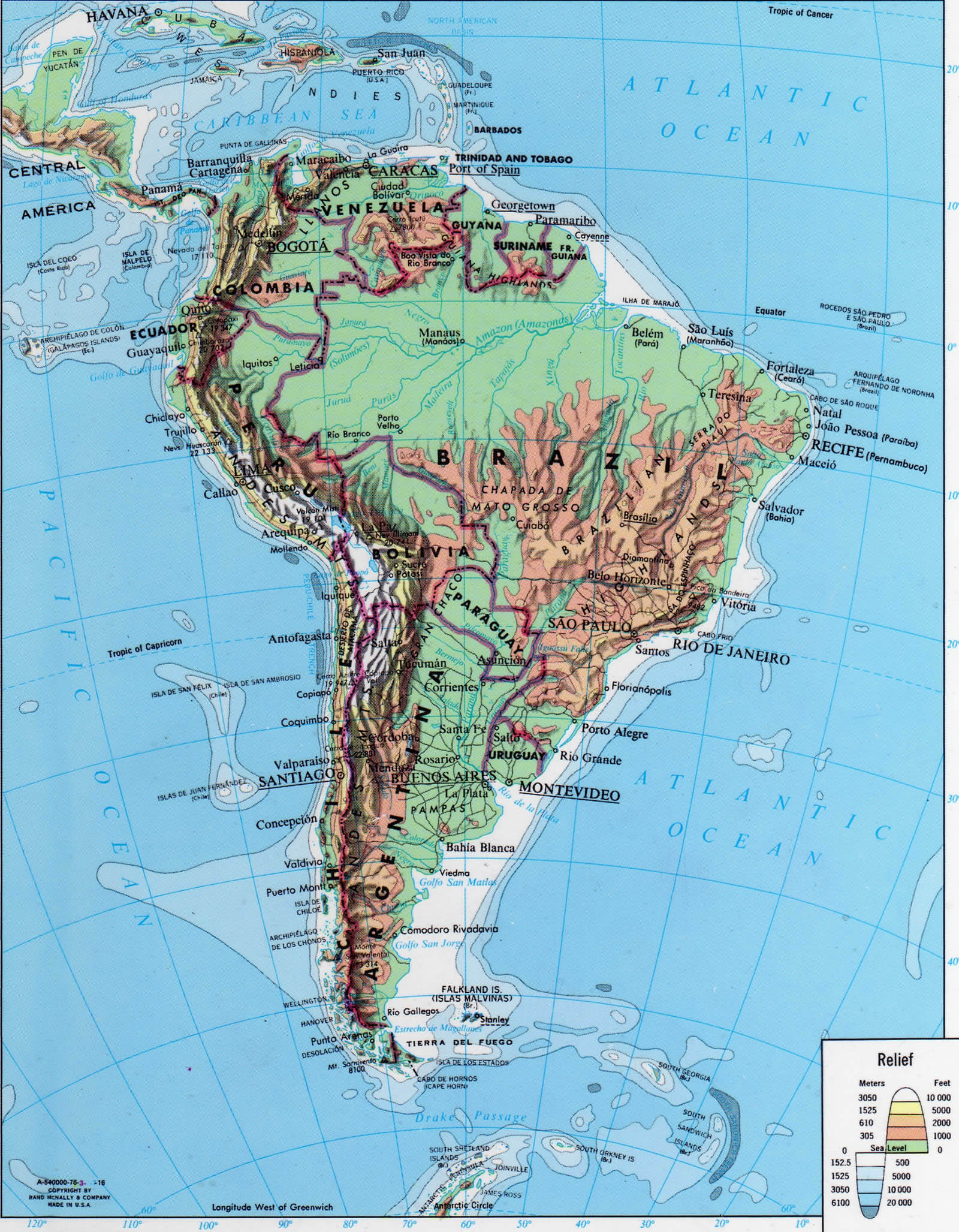
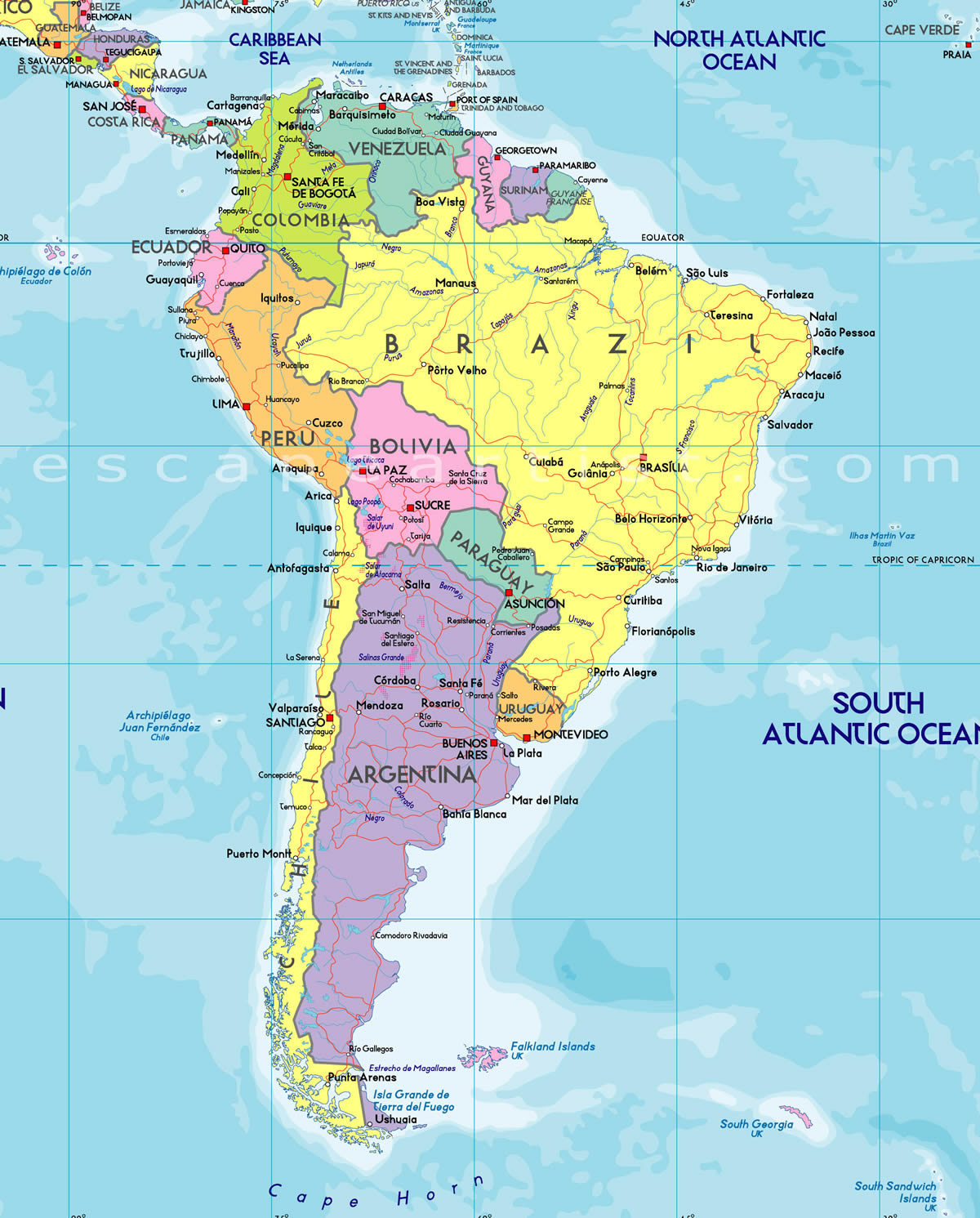
South America Countries Map
Paraguay Map Peru Map Suriname Map Ecuador Map Falkland Islands Map Guyana Map Argentina Map Bolivia Map Brazil Map Chile Map Colombia Map Easter Island Map Uruguay Map Venezuela Map French Guiana Map South America MapSouth America Google Map, Street Views, Maps Directions, Satellite Images
worldmap1.com offers a collection of South America map, google map, South America atlas, political, physical, satellite view, country infos, cities map and more map of South America.
World Top 20 Largest Countries by Population Map
- 1. China Map - 1,439,323,776
- 2. India Map - 1,399,828,108
- 3. United States Map - 333,839,503
- 4. Indonesia Map - 277,749,346
- 5. Pakistan Map - 227,153,261
- 6. Brazil Map - 214,767,569
- 7. Nigeria Map - 213,593,168
- 8. Bangladesh Map - 167,086,674
- 9. Russia Map - 146,025,949
- 10. Mexico Map - 130,911,878
- 11. Japan Map - 125,910,309
- 12. Ethiopia Map - 119,117,925
- 13. Philippines Map - 111,711,419
- 14. Egypt Map - 105,152,003
- 15. Vietnam Map - 98,618,321
- 16. Democratic Republic Congo (DRC) Map - 93,531,207
- 17. Turkey Map - 85,664,955
- 18. Iran Map - 85,563,317
- 19. Germany Map - 84,175,561
- 20. Thailand Map - 68,407,231