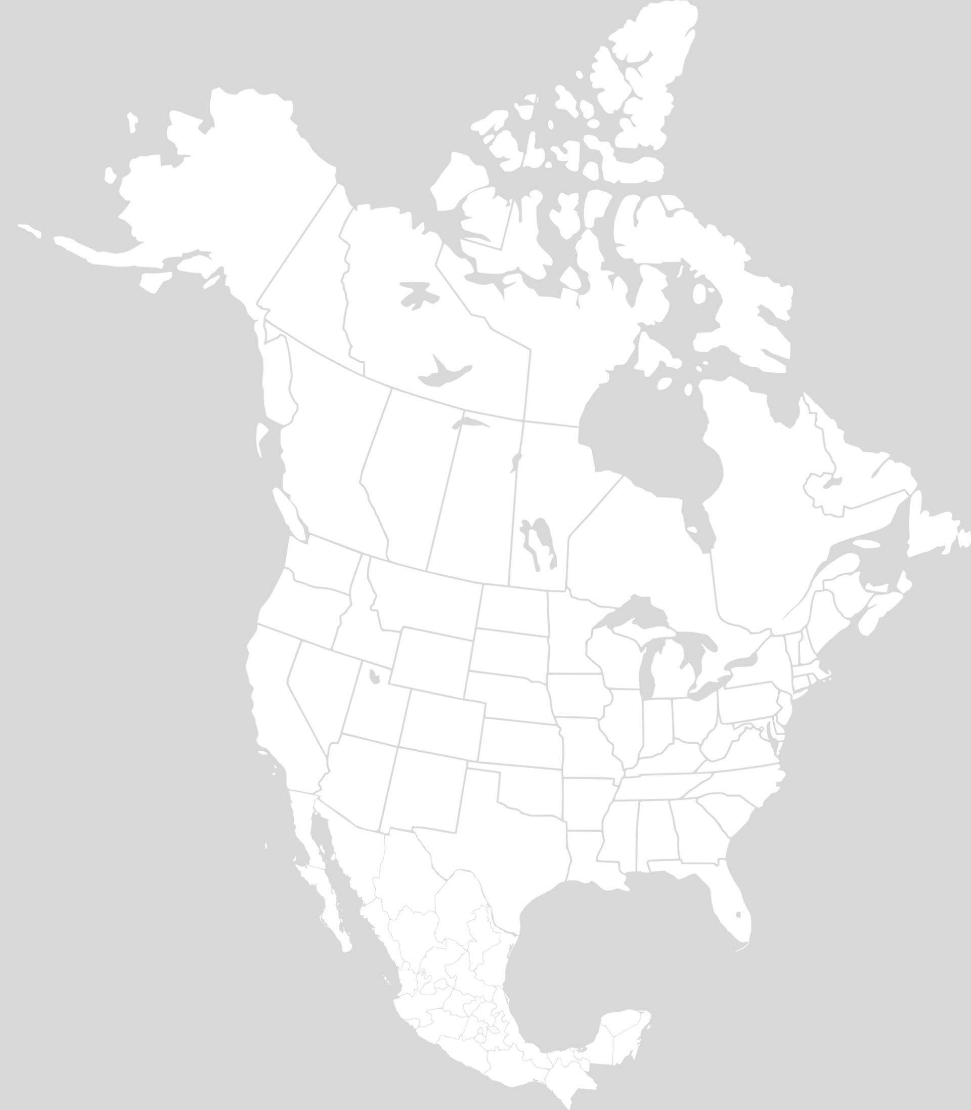
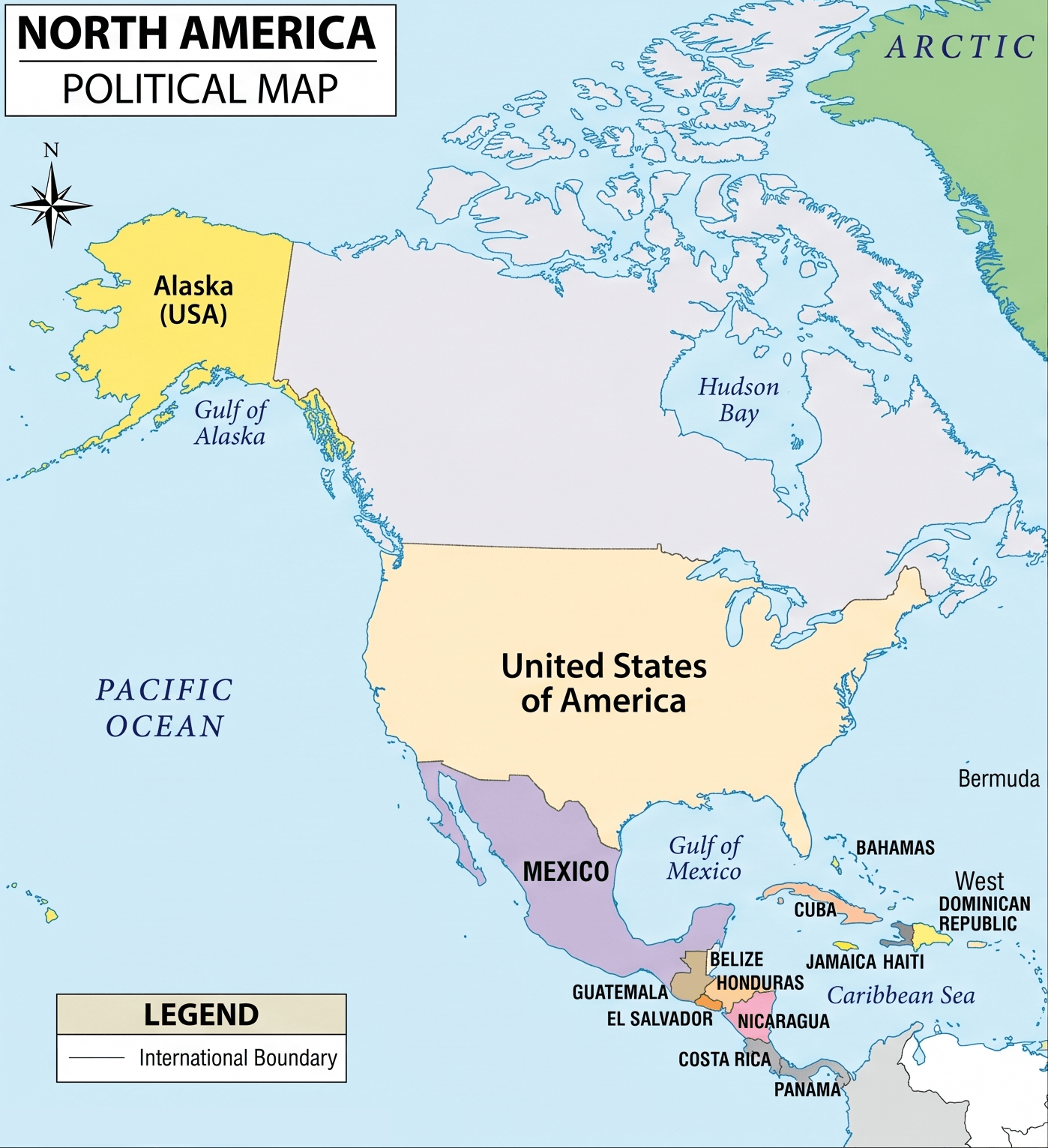
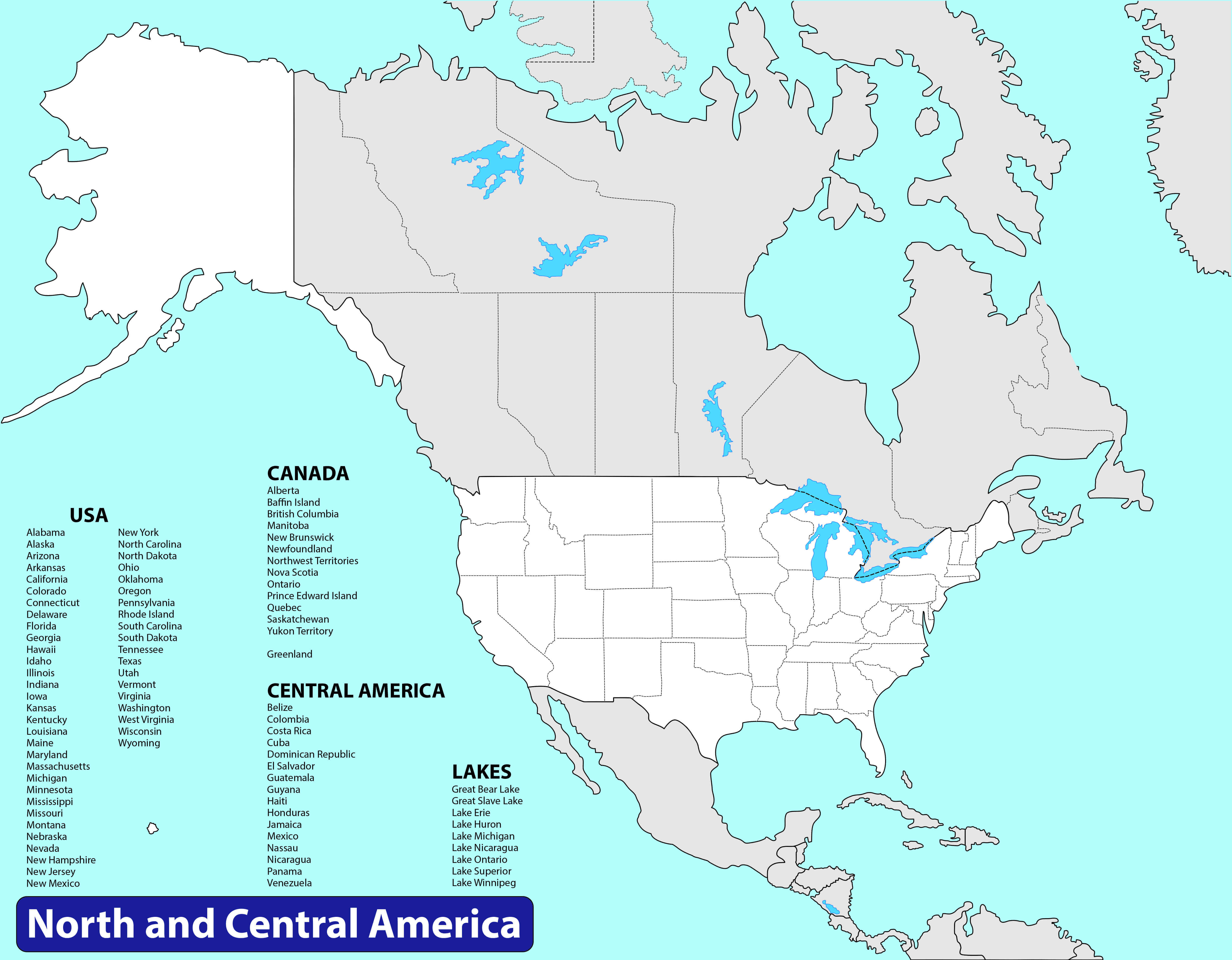
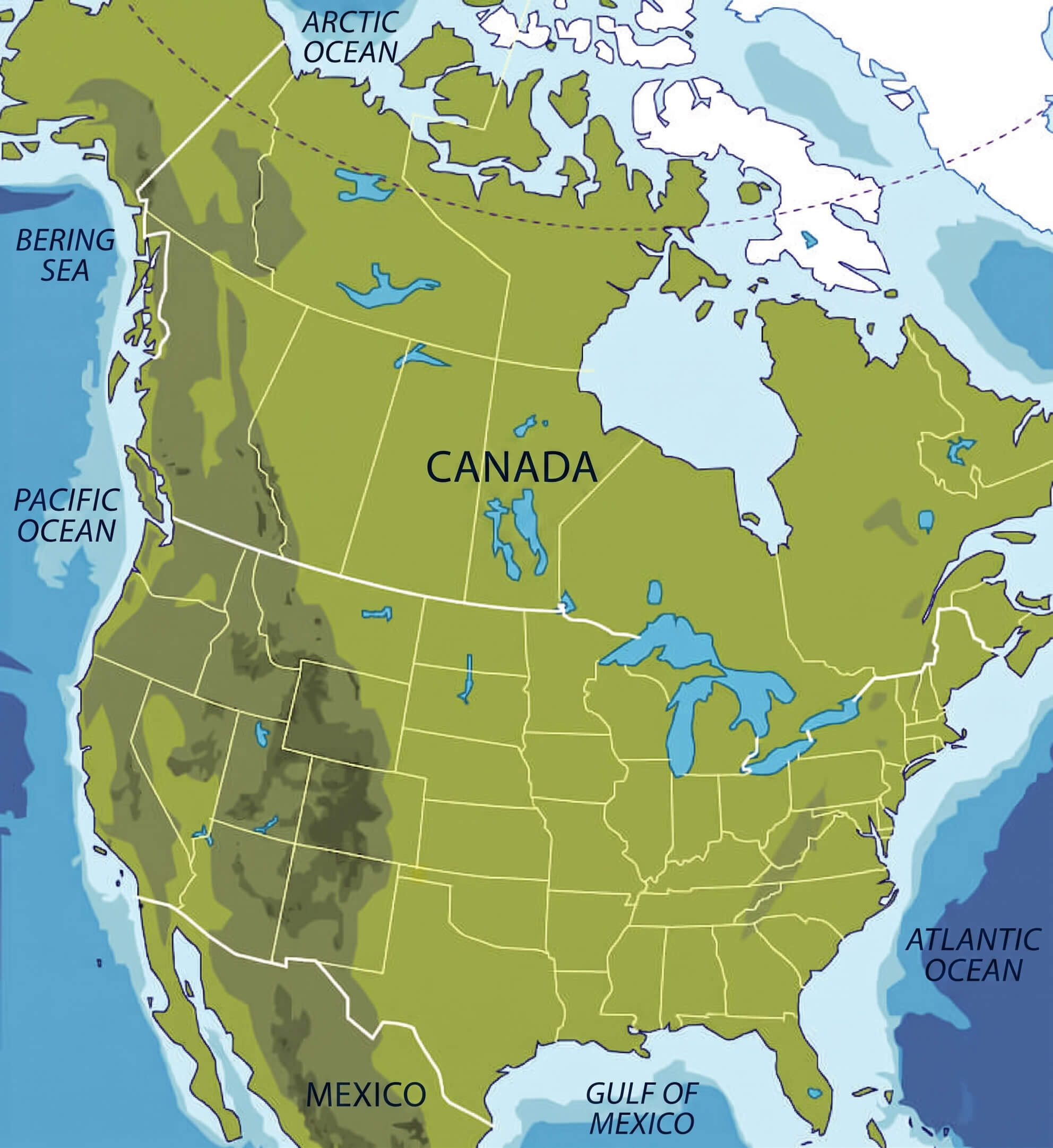
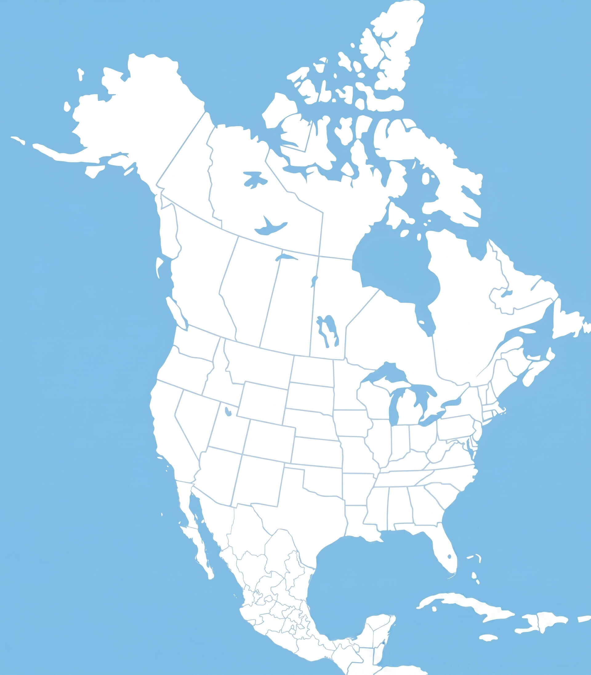
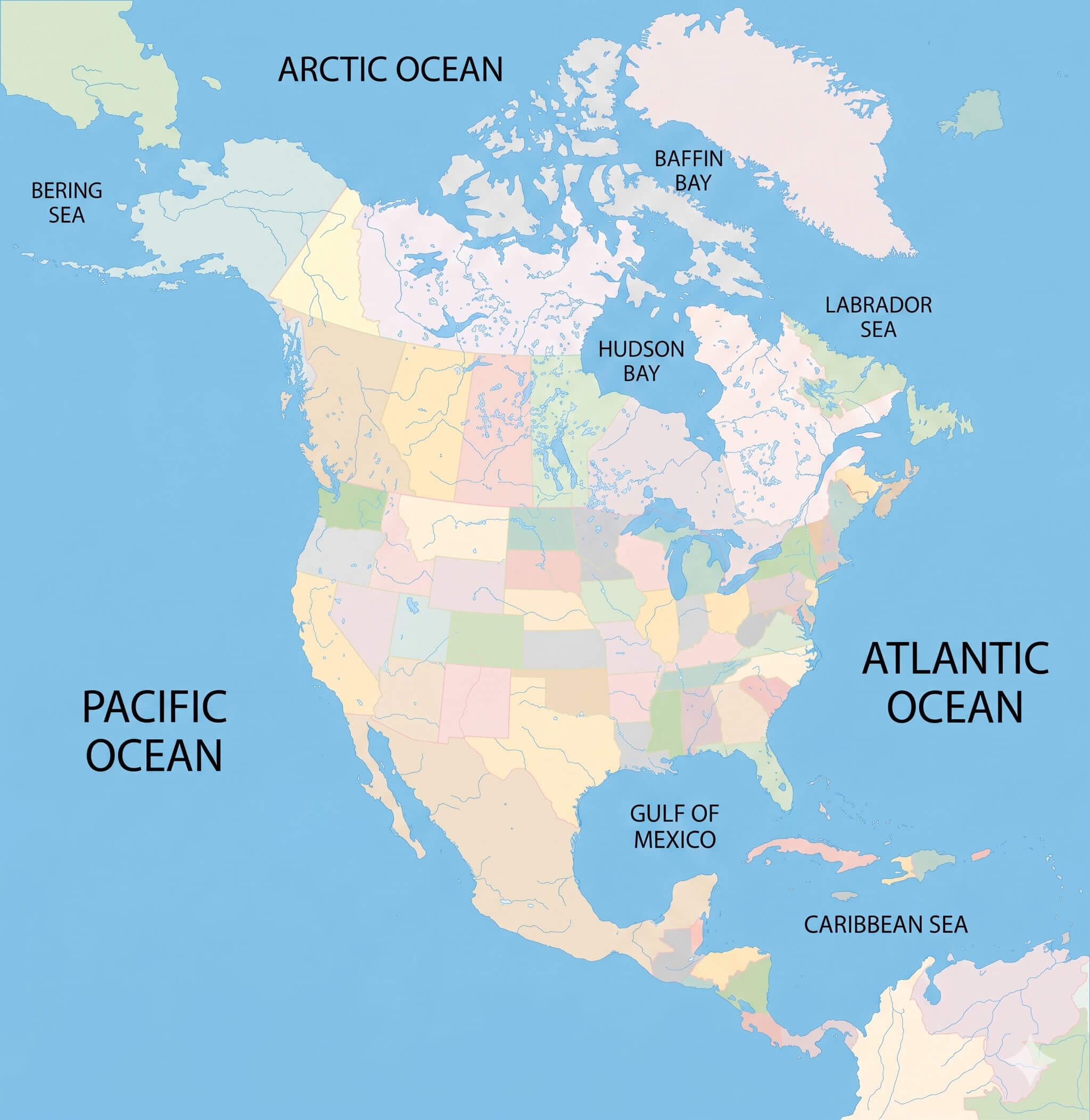
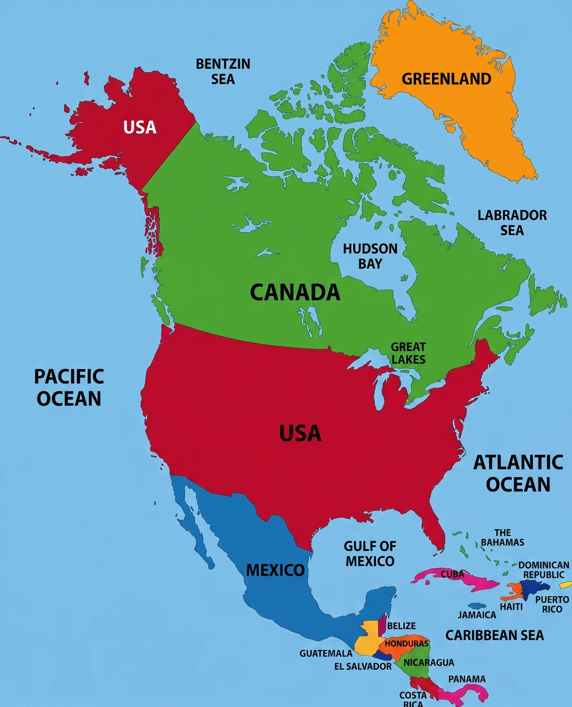
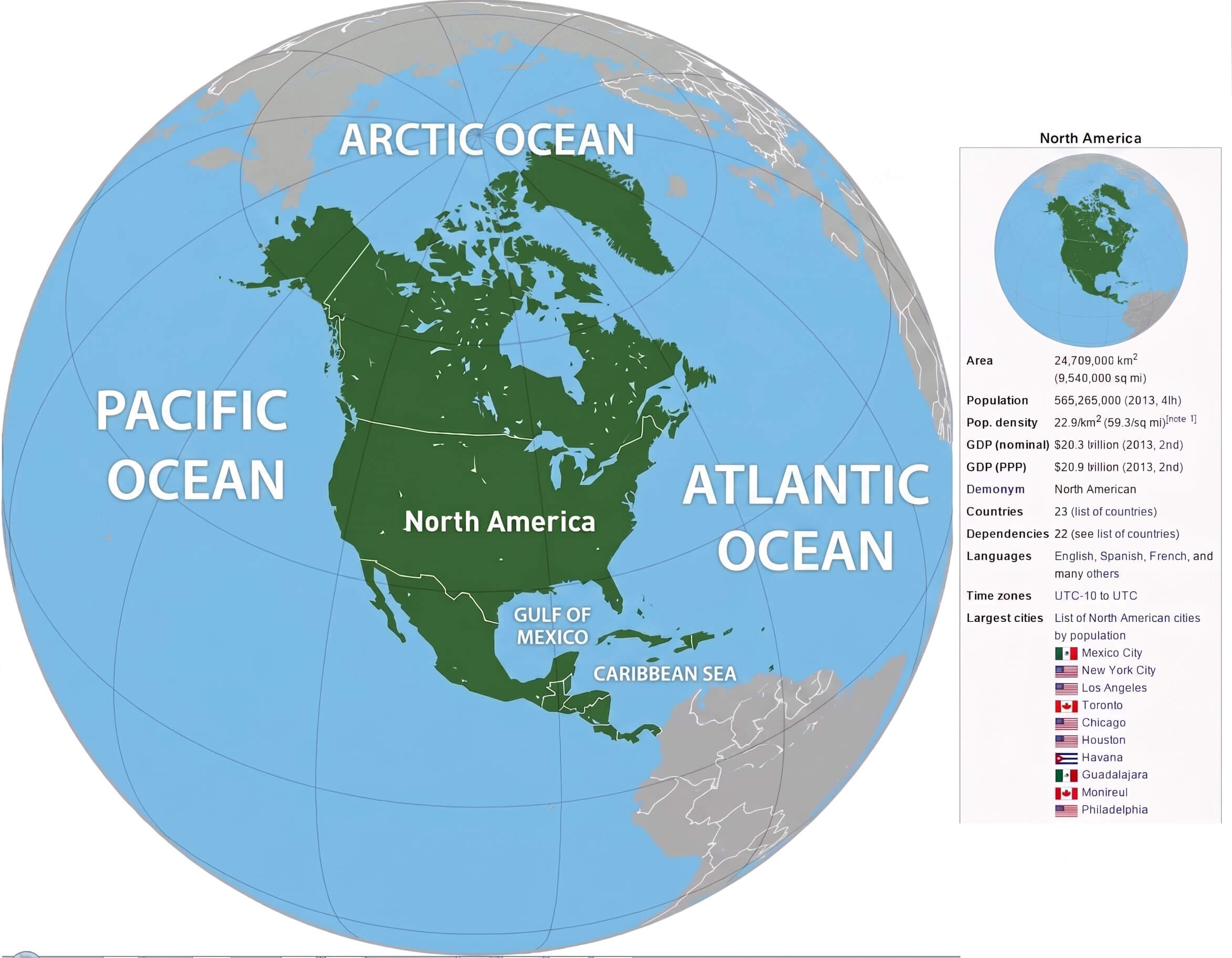
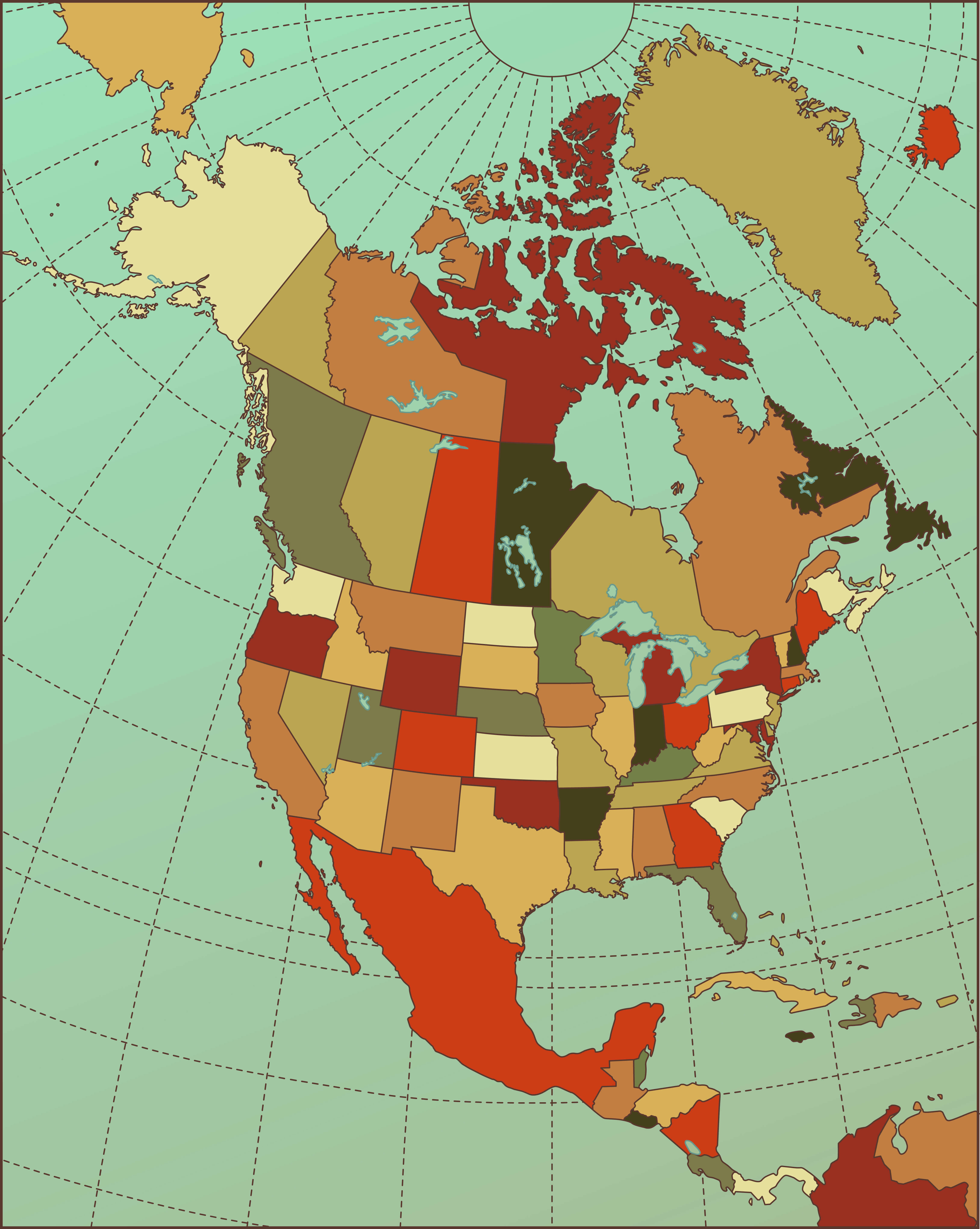
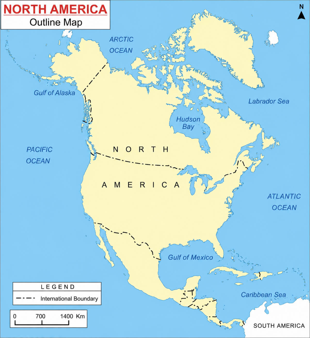
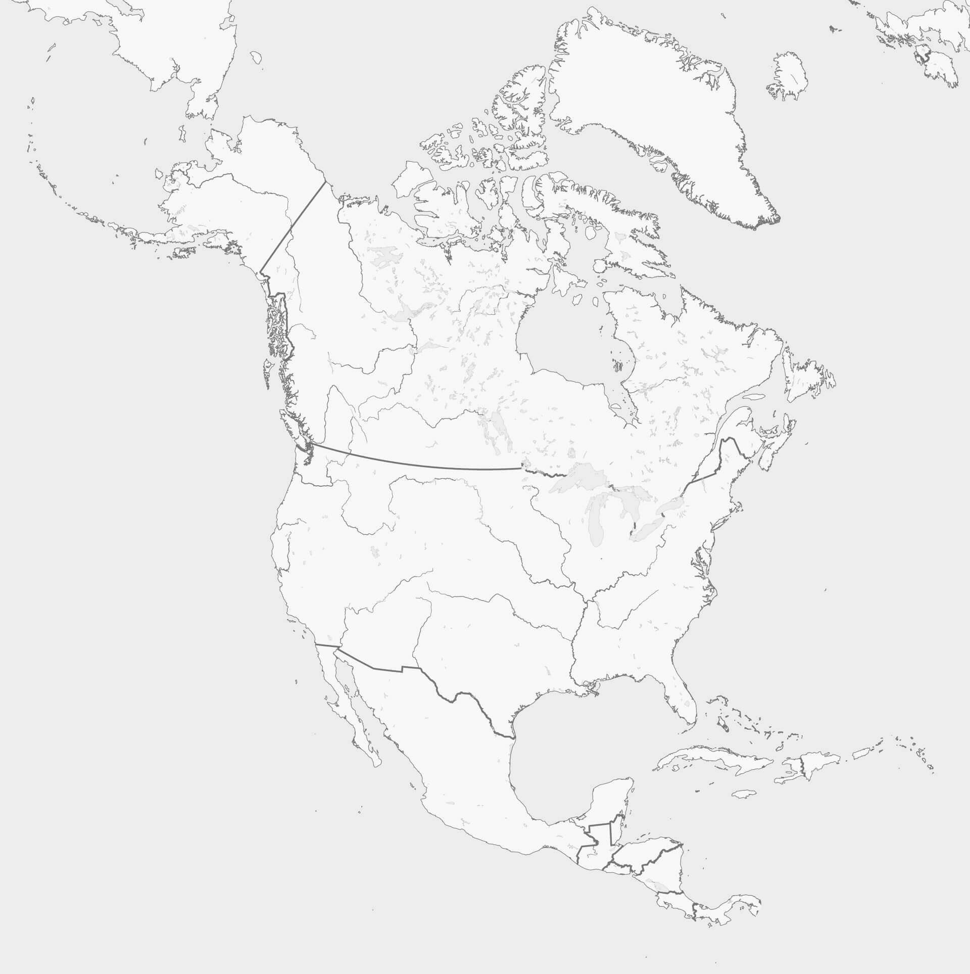
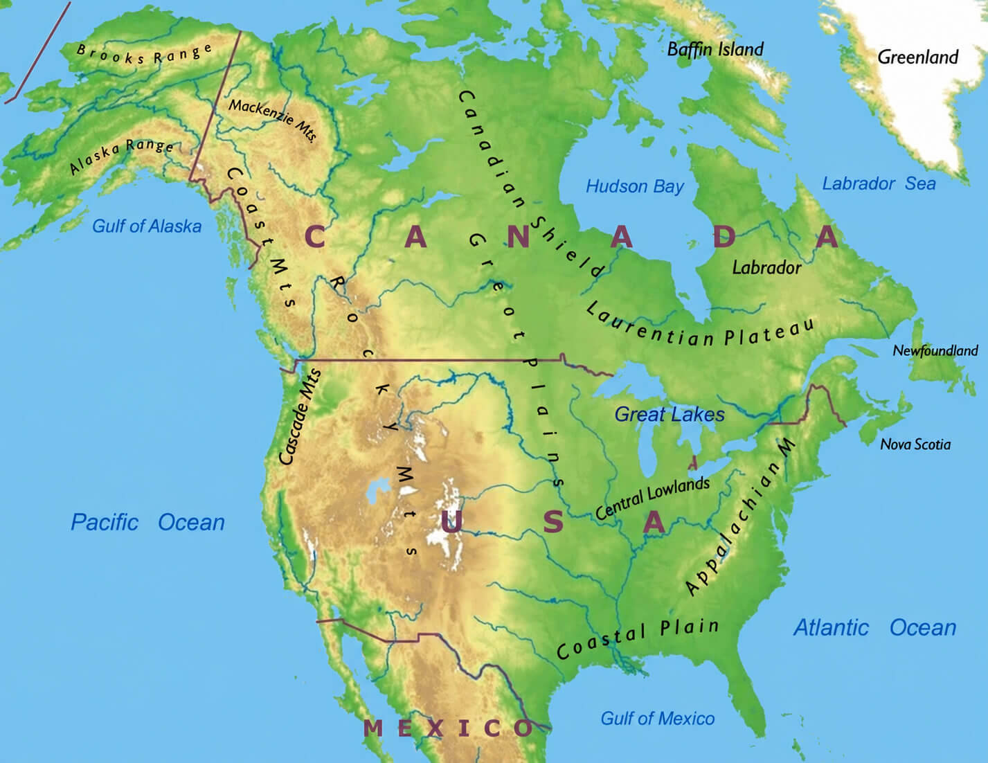
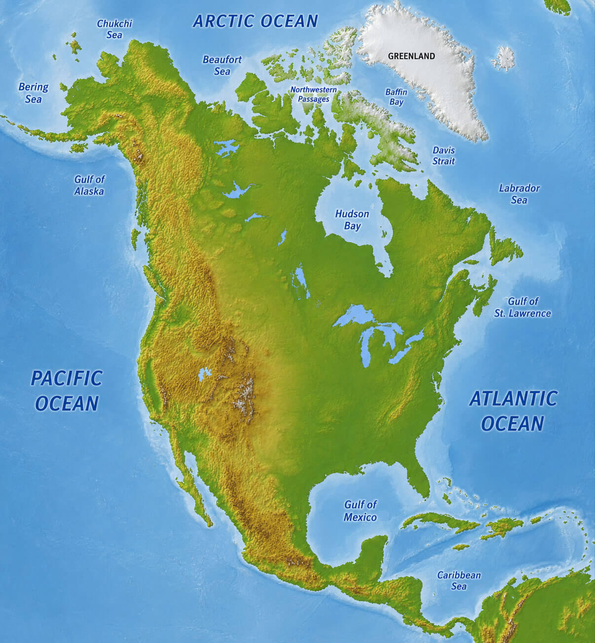
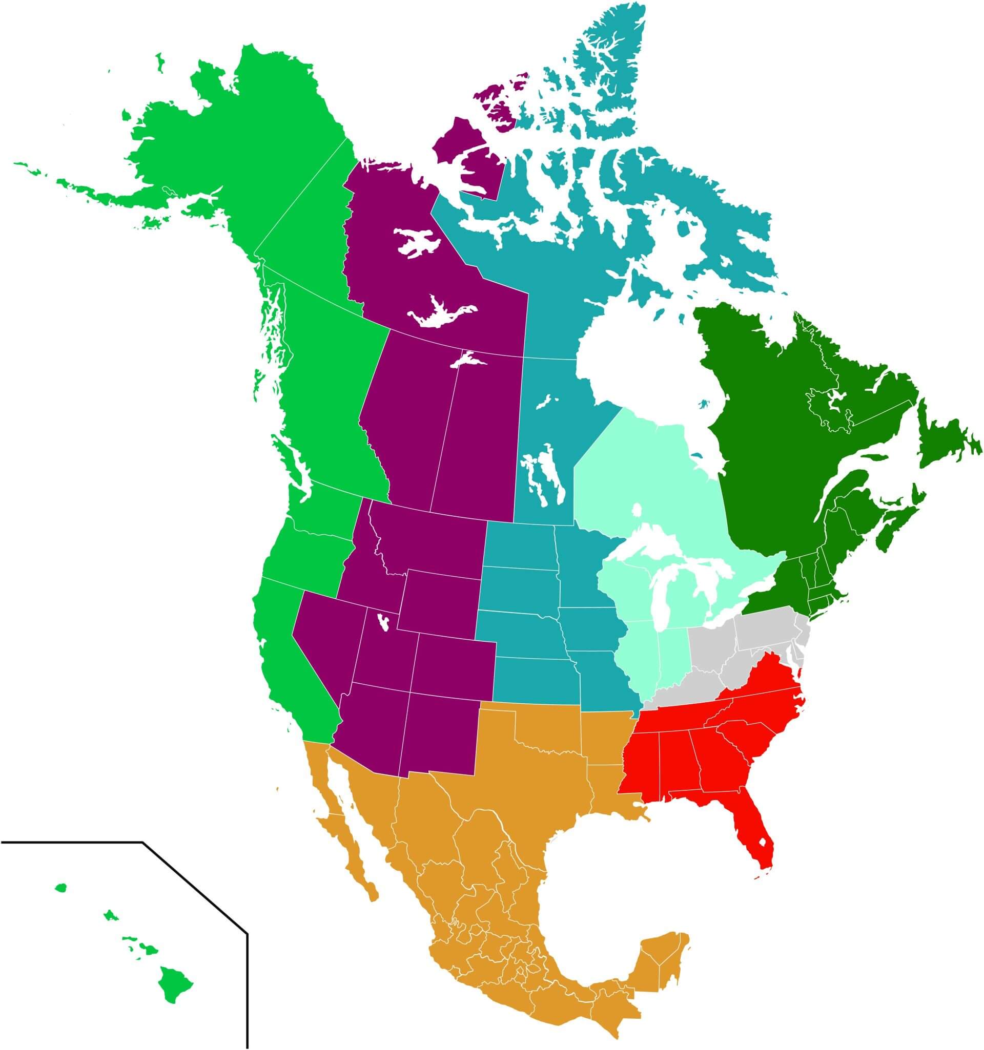
Explore our North America blank maps for education, geography practice, research, and presentations. Discover printable outline maps with country borders, U.S. state boundaries, and regional divisions covering Canada, the United States, Mexico, Greenland, Central America, and the Caribbean. These high-resolution blank maps are ideal for labeling countries, states, and geographic regions.