Explore Detailed World Country Maps with Borders, Rivers & Oceans
Explore free high-quality world maps, including political, physical, and topographic maps. Access detailed blank maps, historical maps, satellite imagery, population density maps, and relief maps—all featuring country borders, rivers, oceans, and time zones. <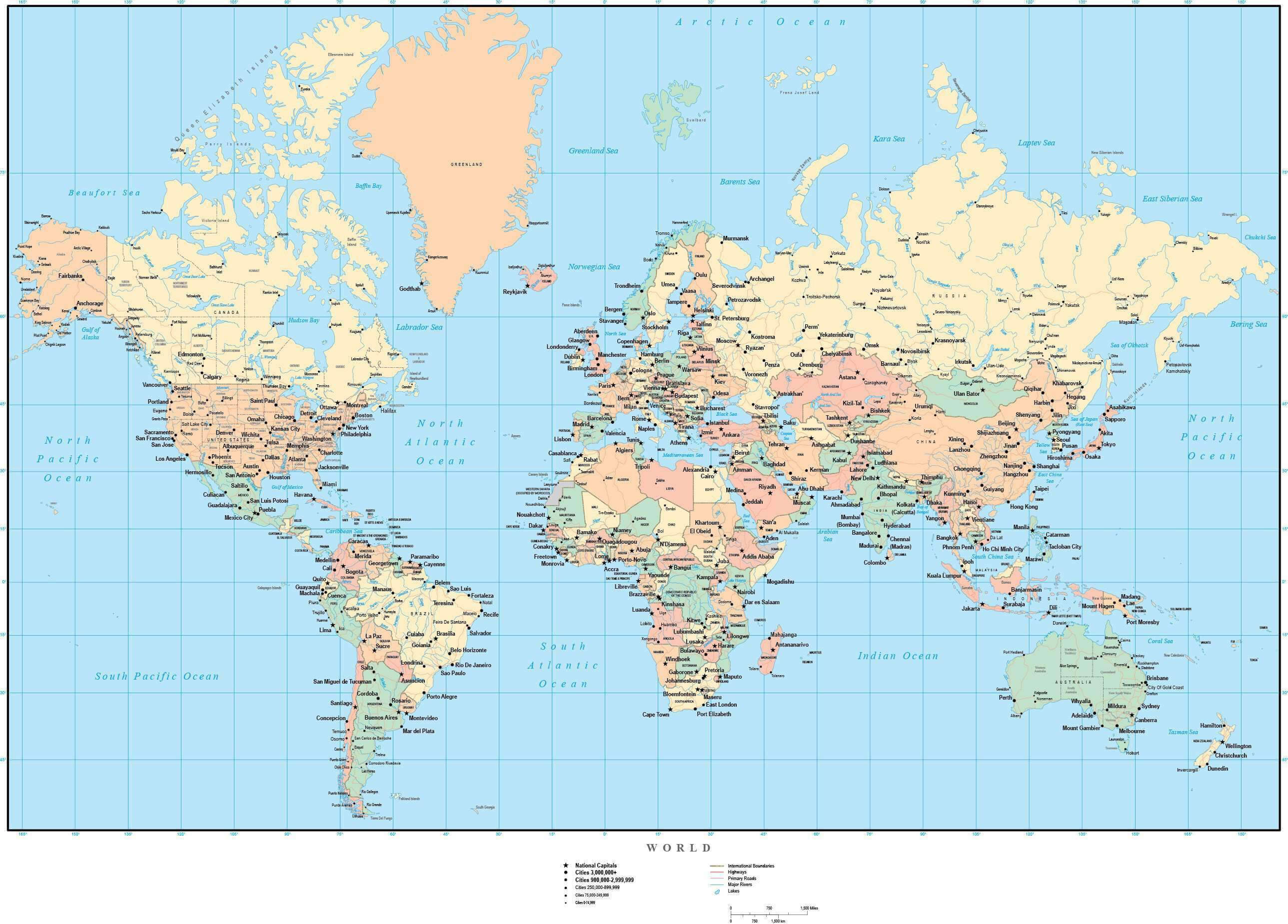
Countries Maps of the World: Political and Geographic Overview
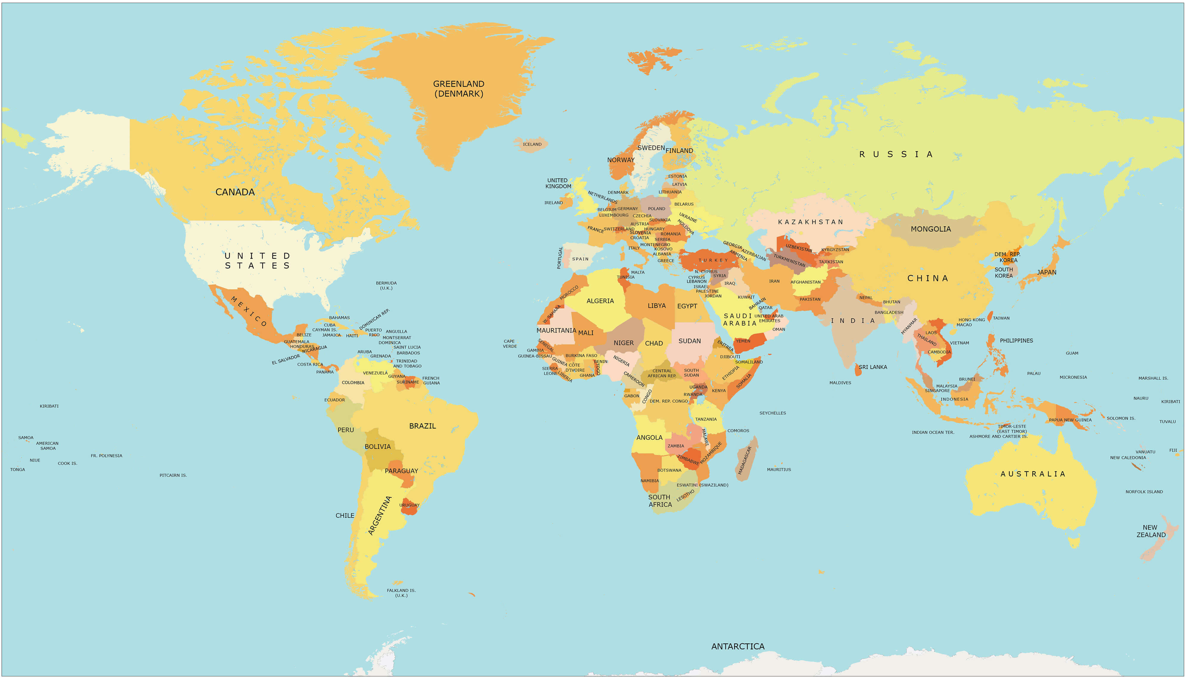
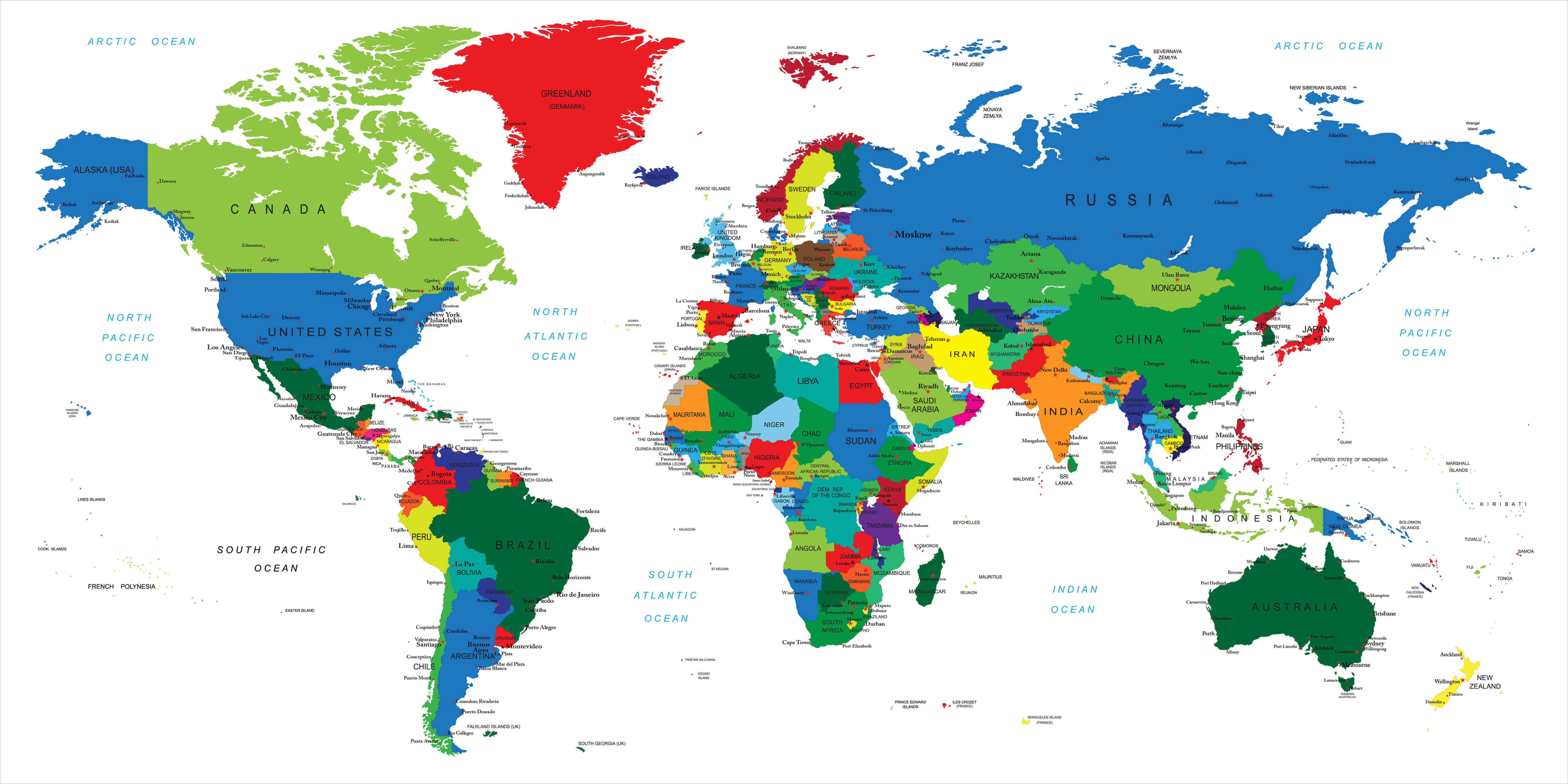
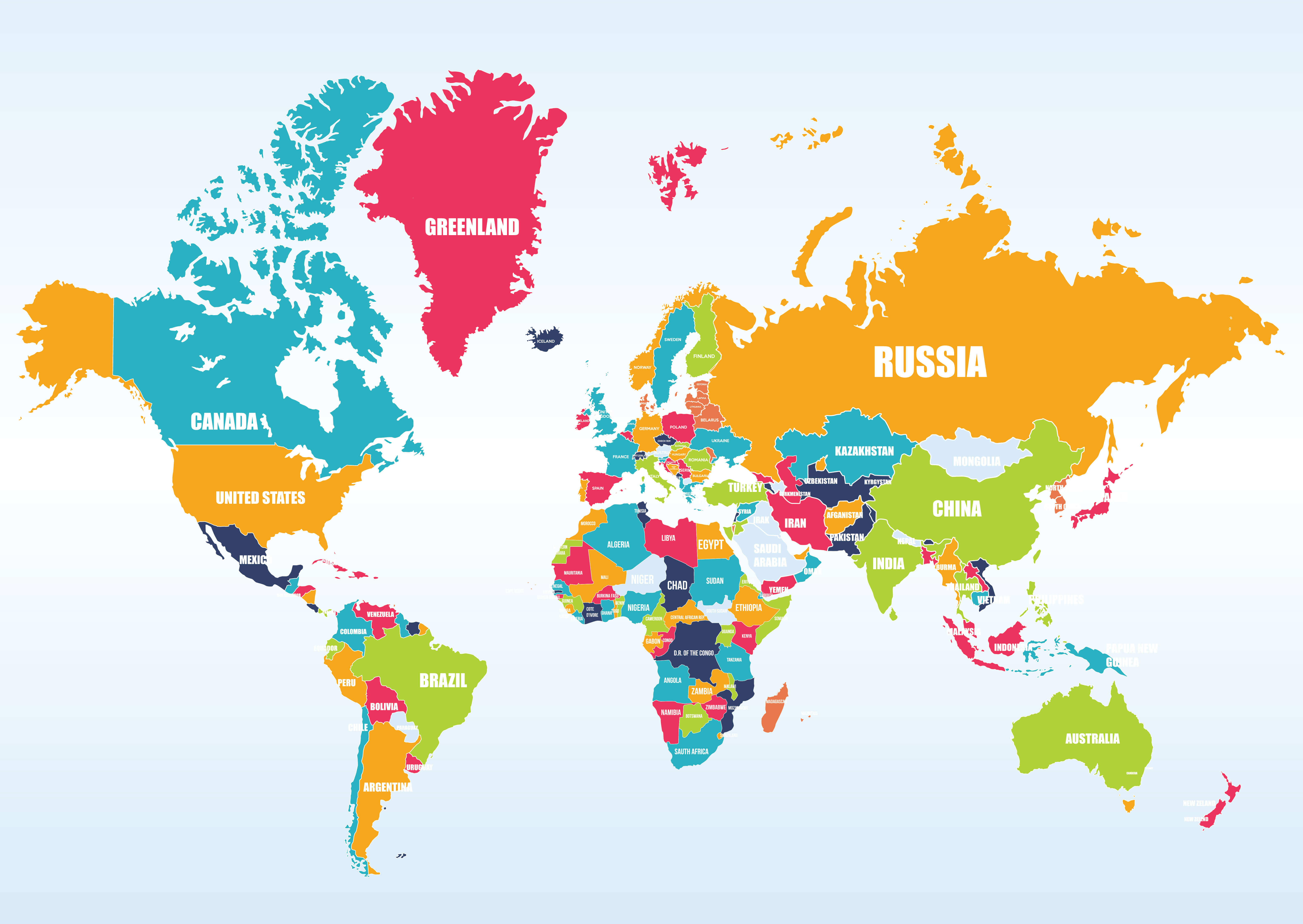
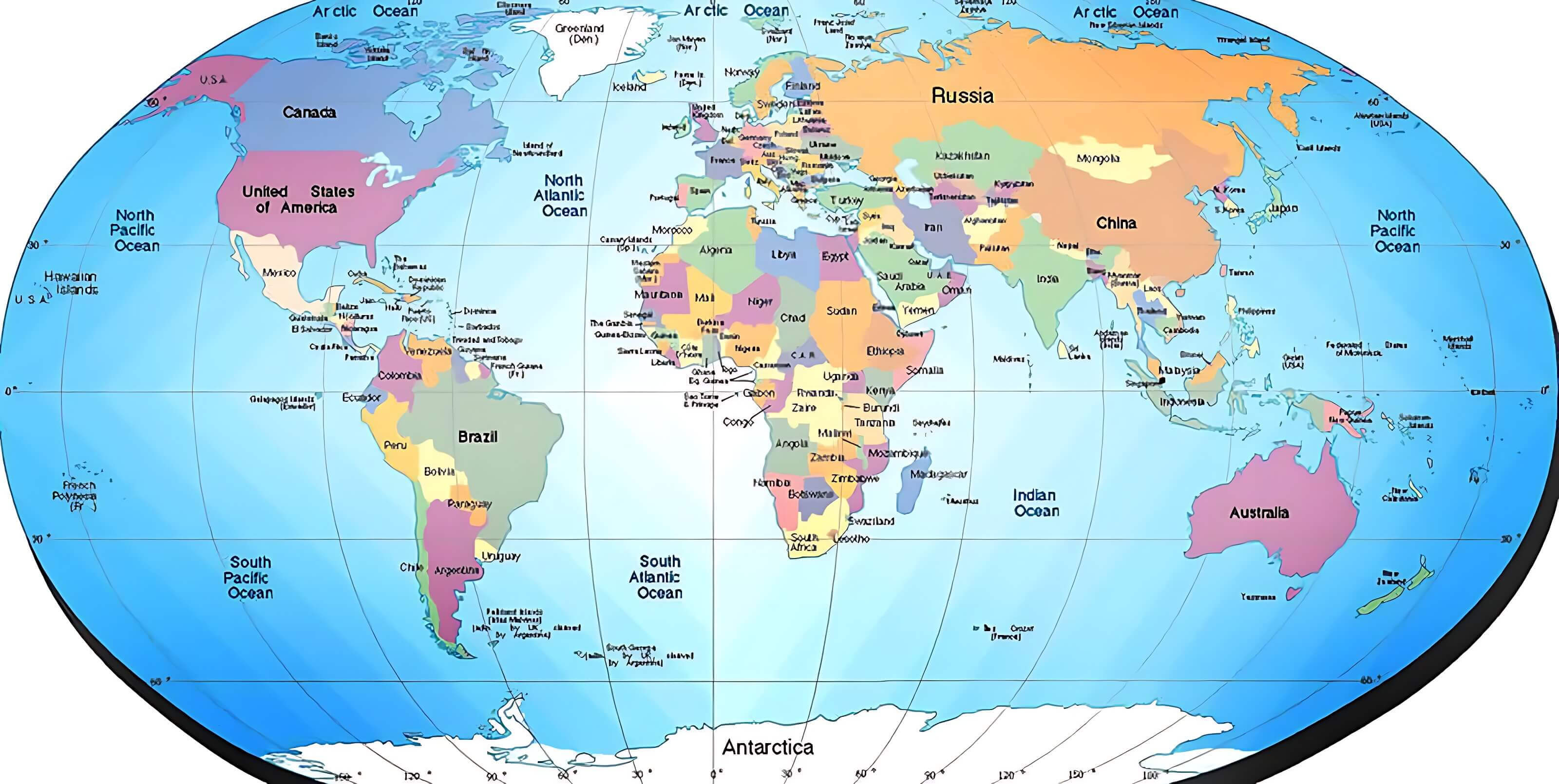
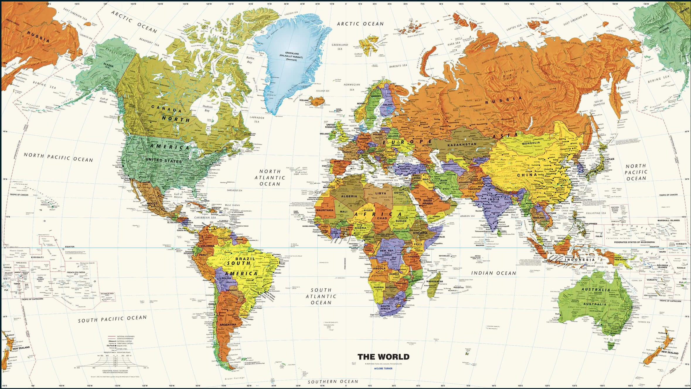
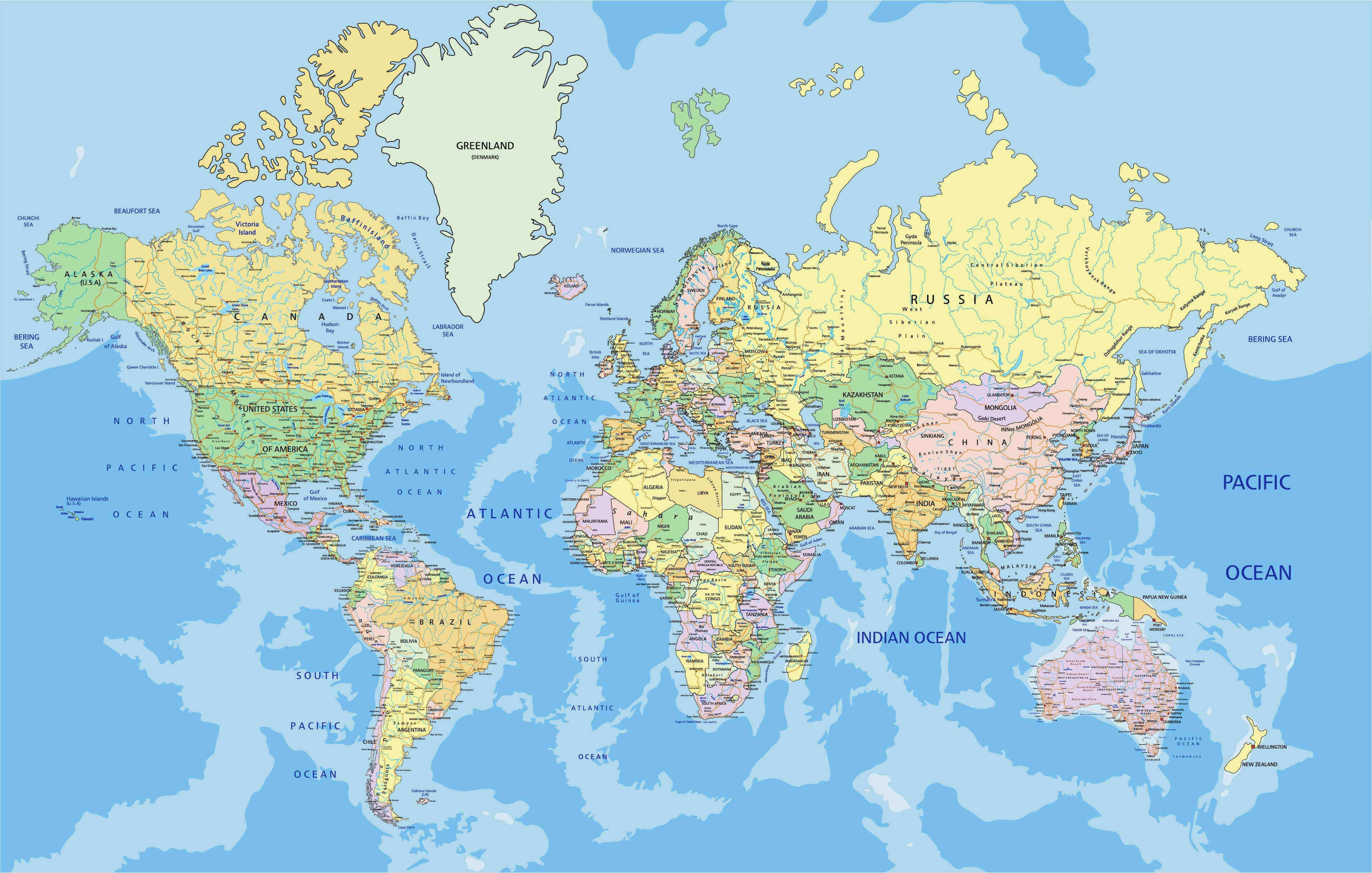 Colorful countries map of the world with borders, names, and oceans labeled.
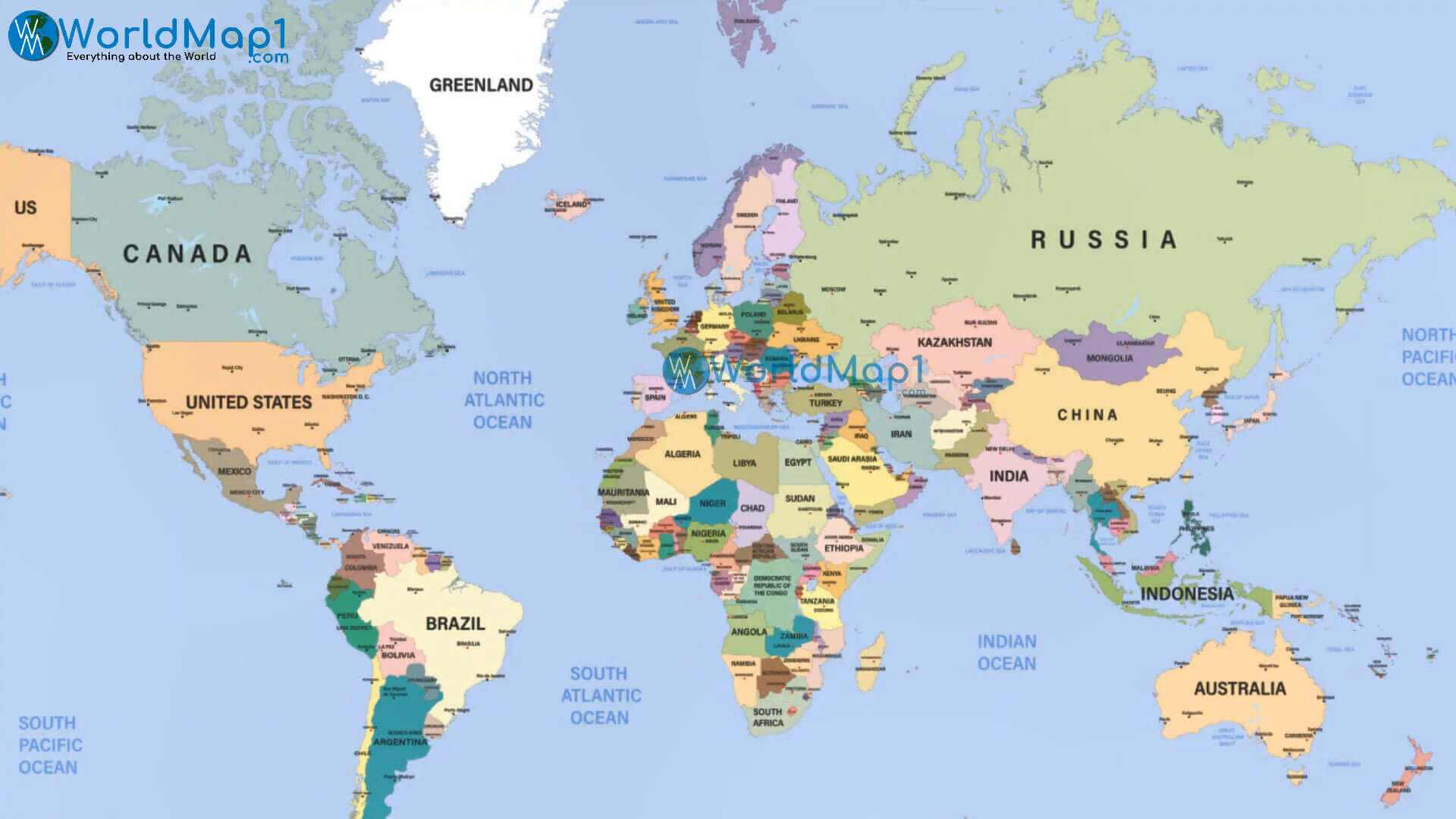
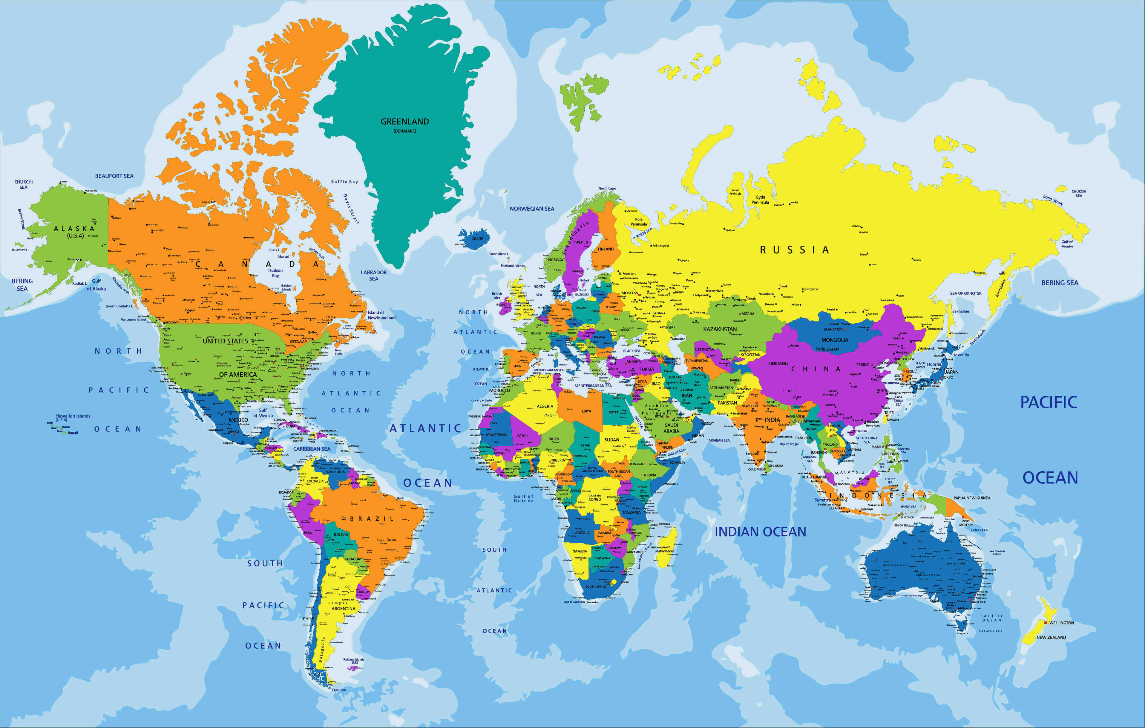
World Political Countries Map: A Global Overview by Nations
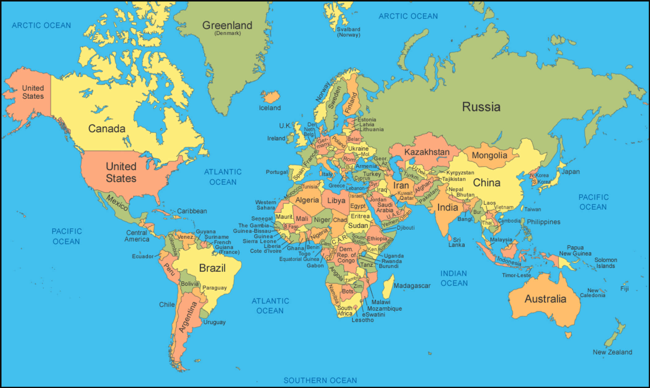
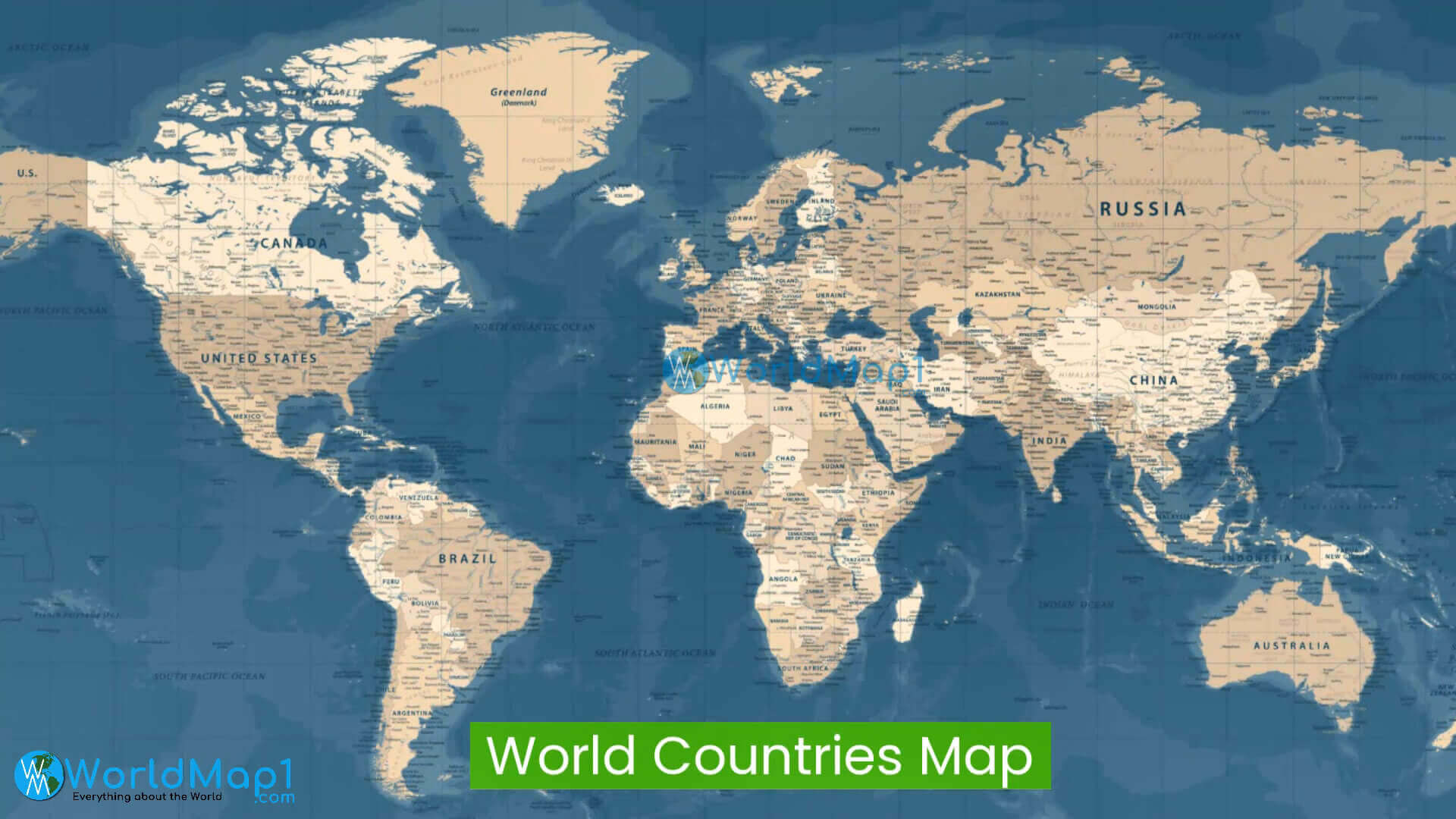
 Detailed political map of the world with all countries and labeled oceans.
World Countries capitals cities international borders map
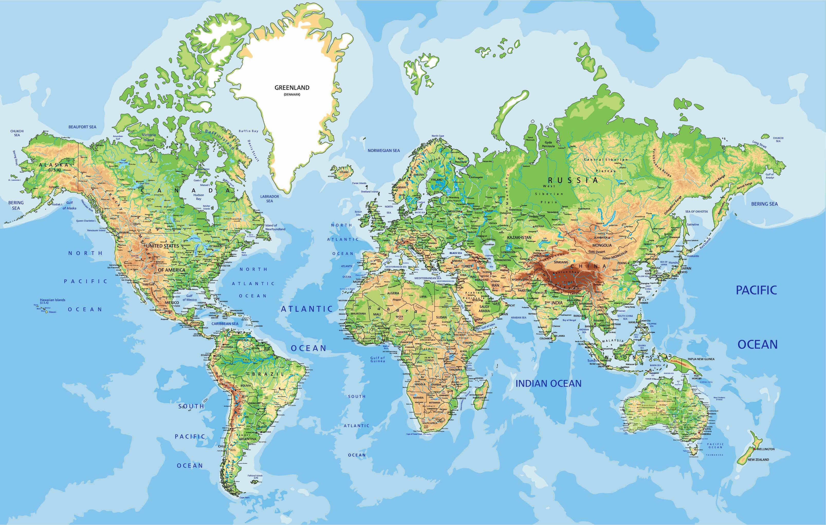
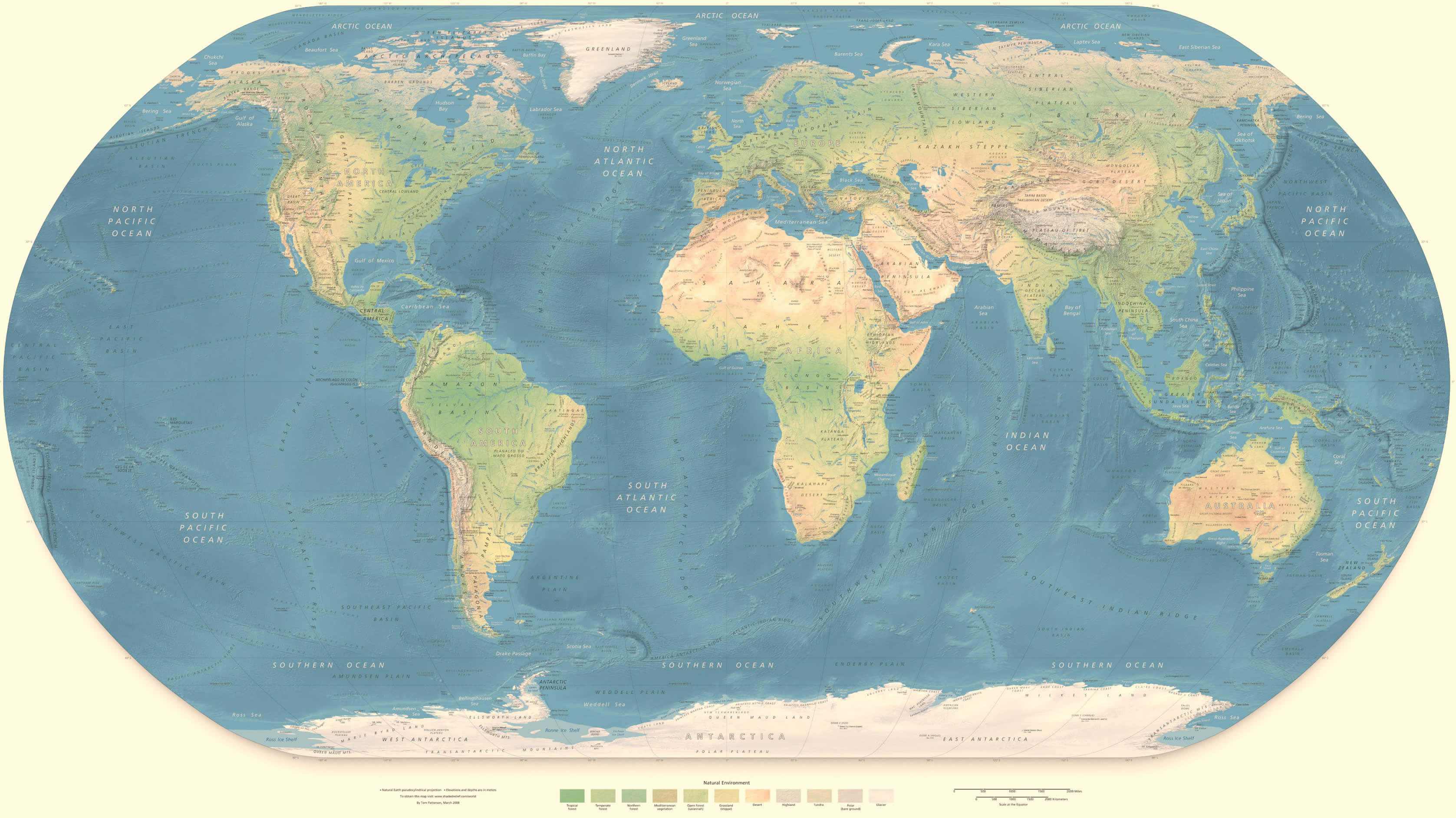
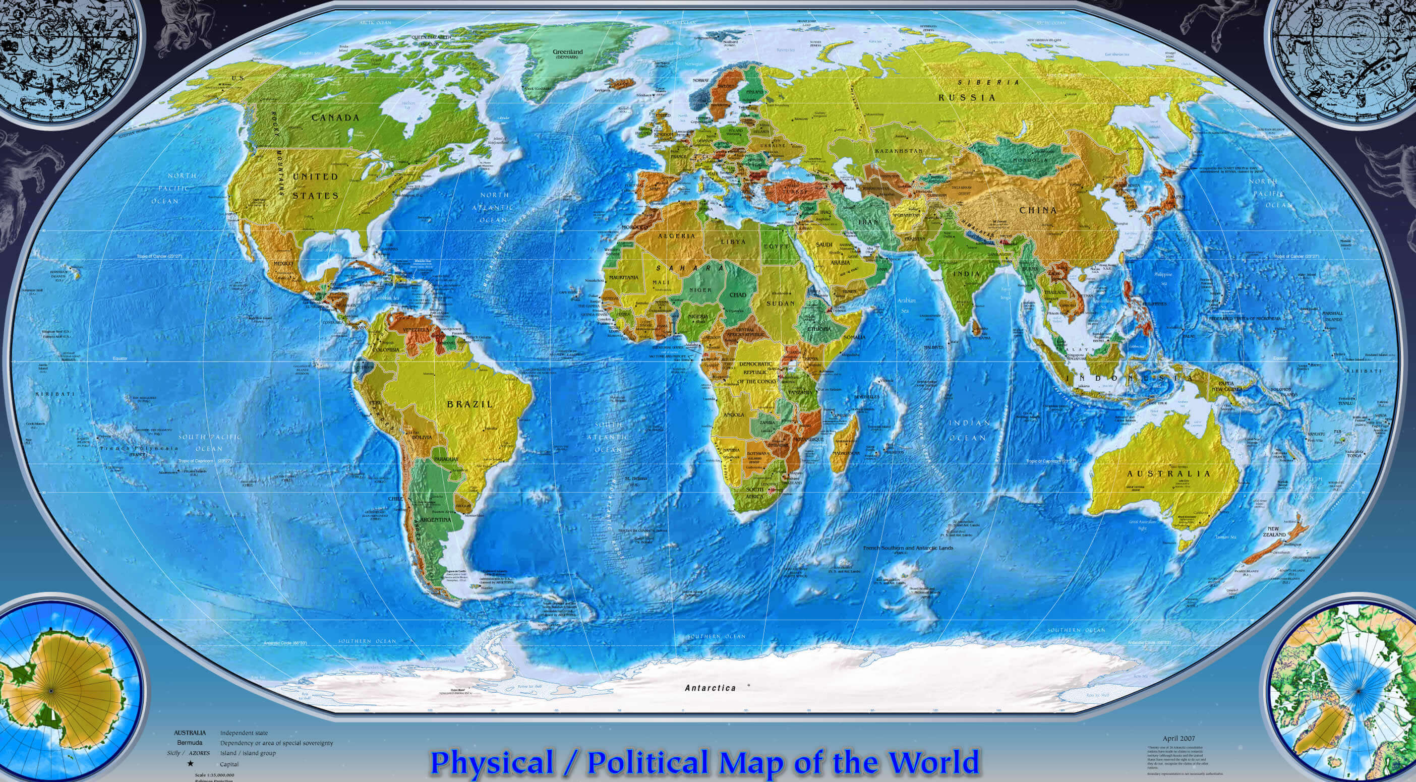
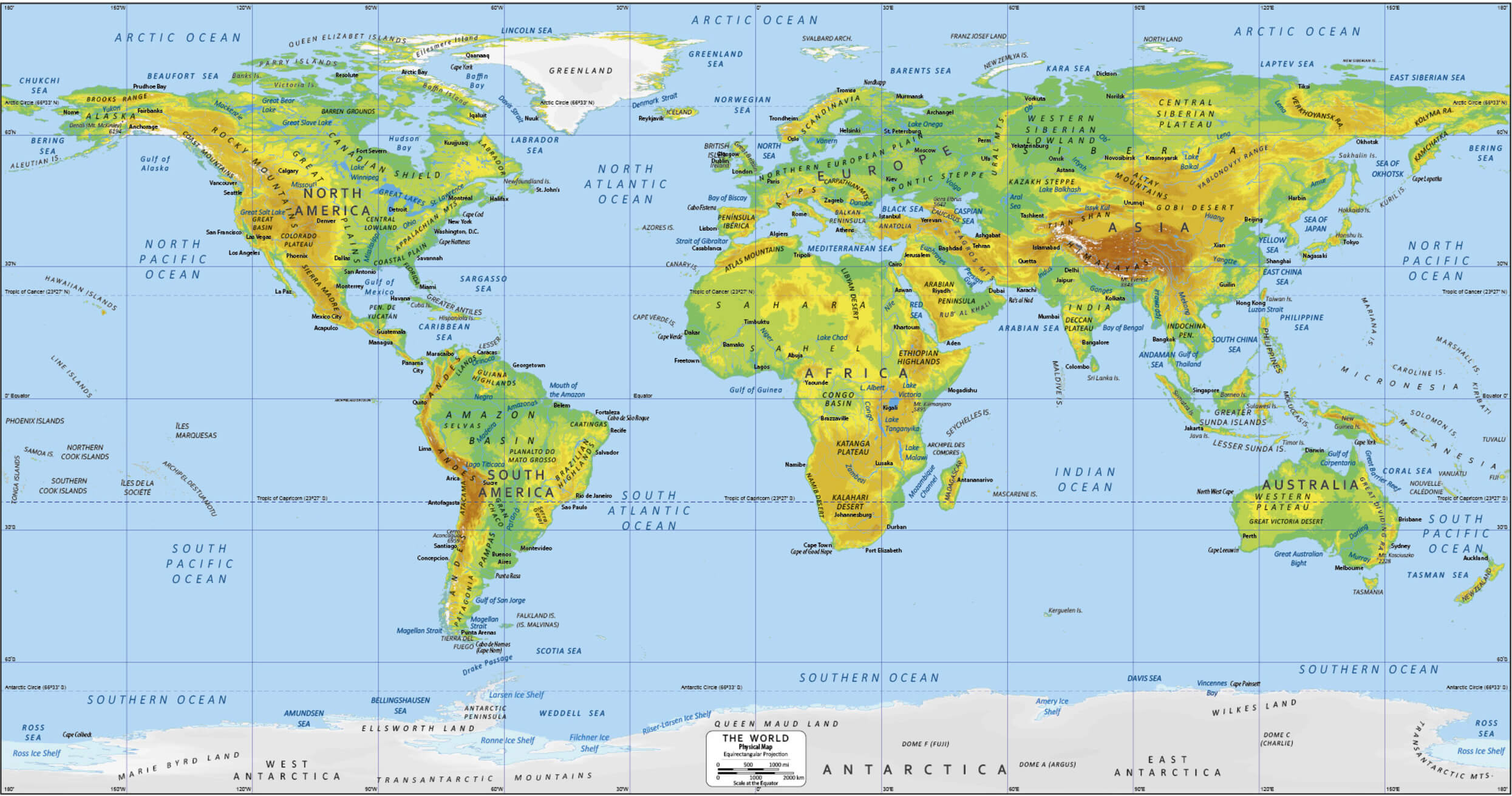
World Countries physical map
World Countries international boundaries map
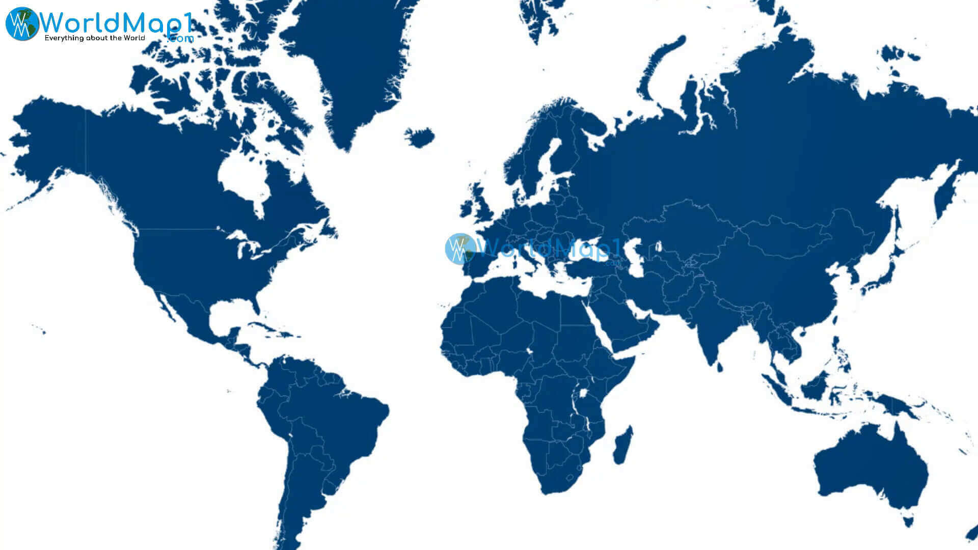
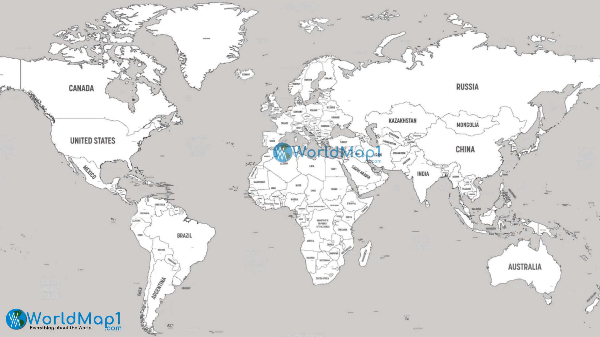
Countries blank map of the World
Countries of the World by area
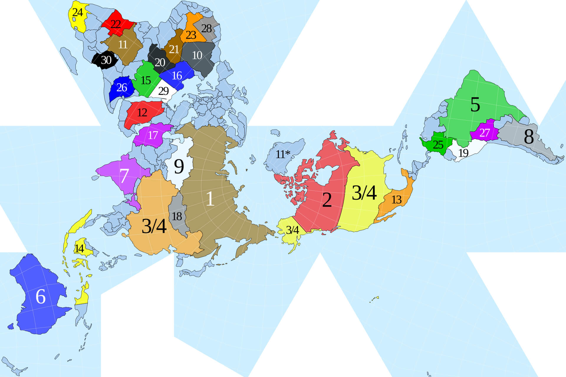
Dymaxion map World 30 largest Countries
World map with Country
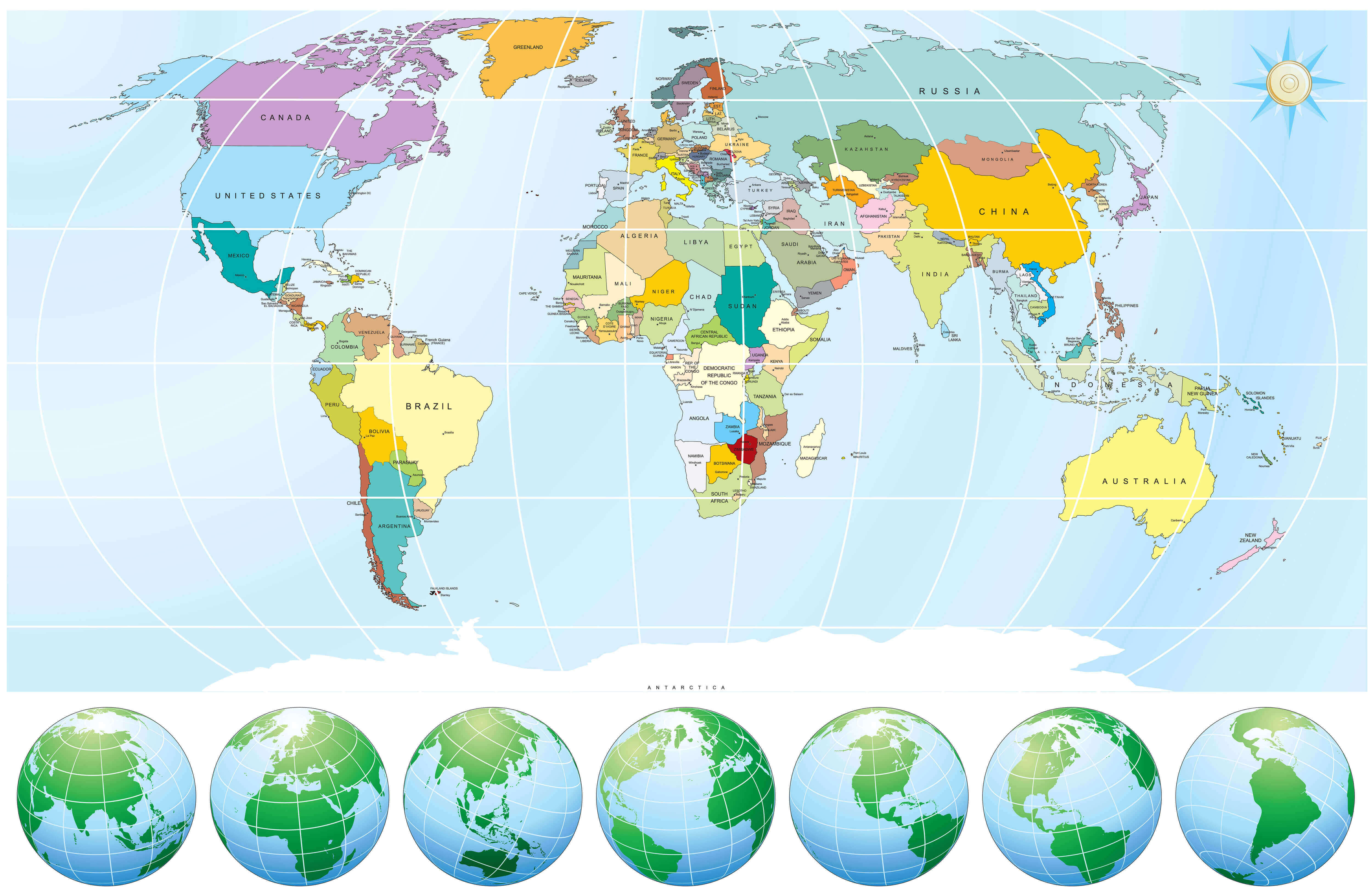
Physical map of World with continents and Countries
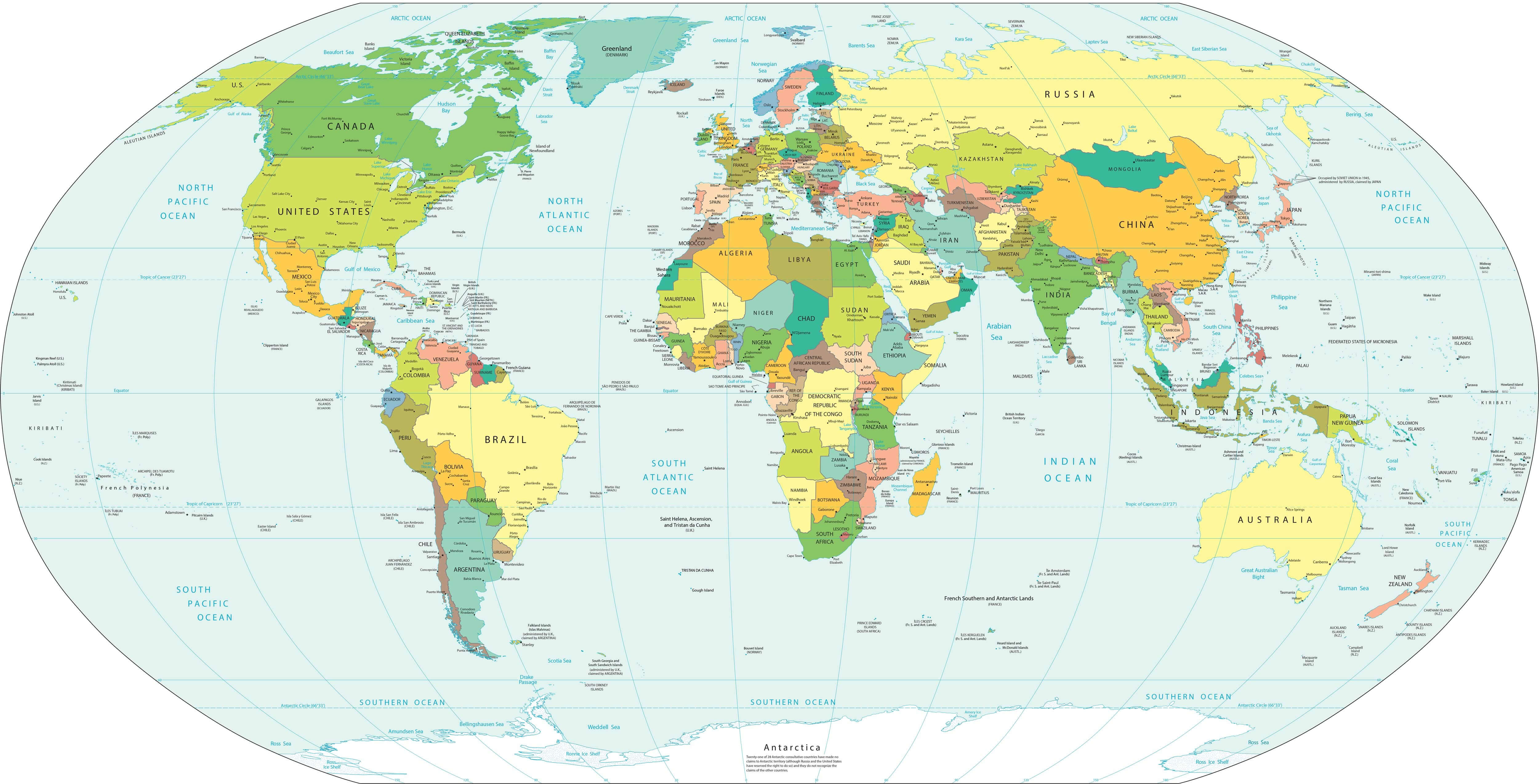
Political map of the World Countries
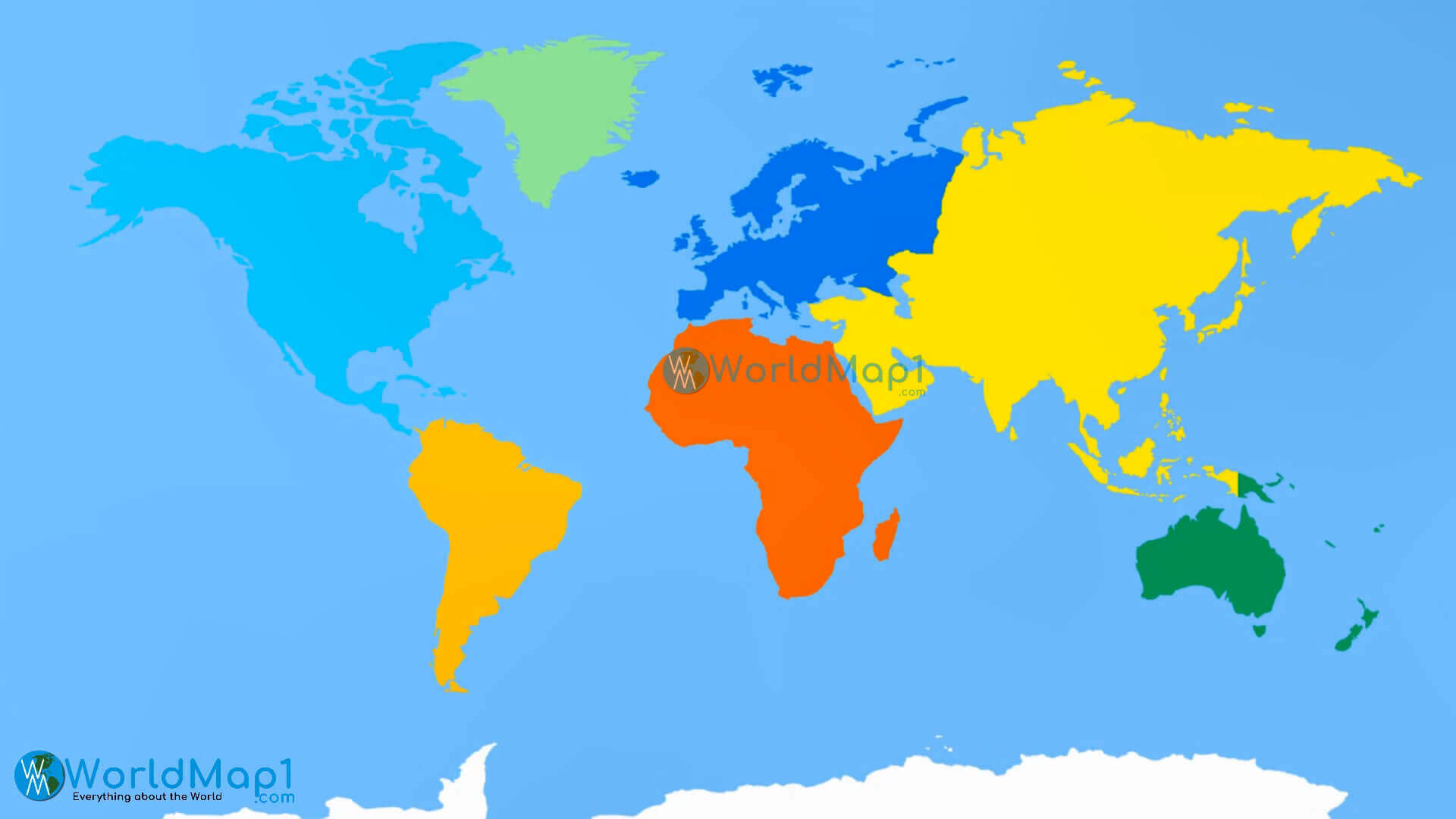
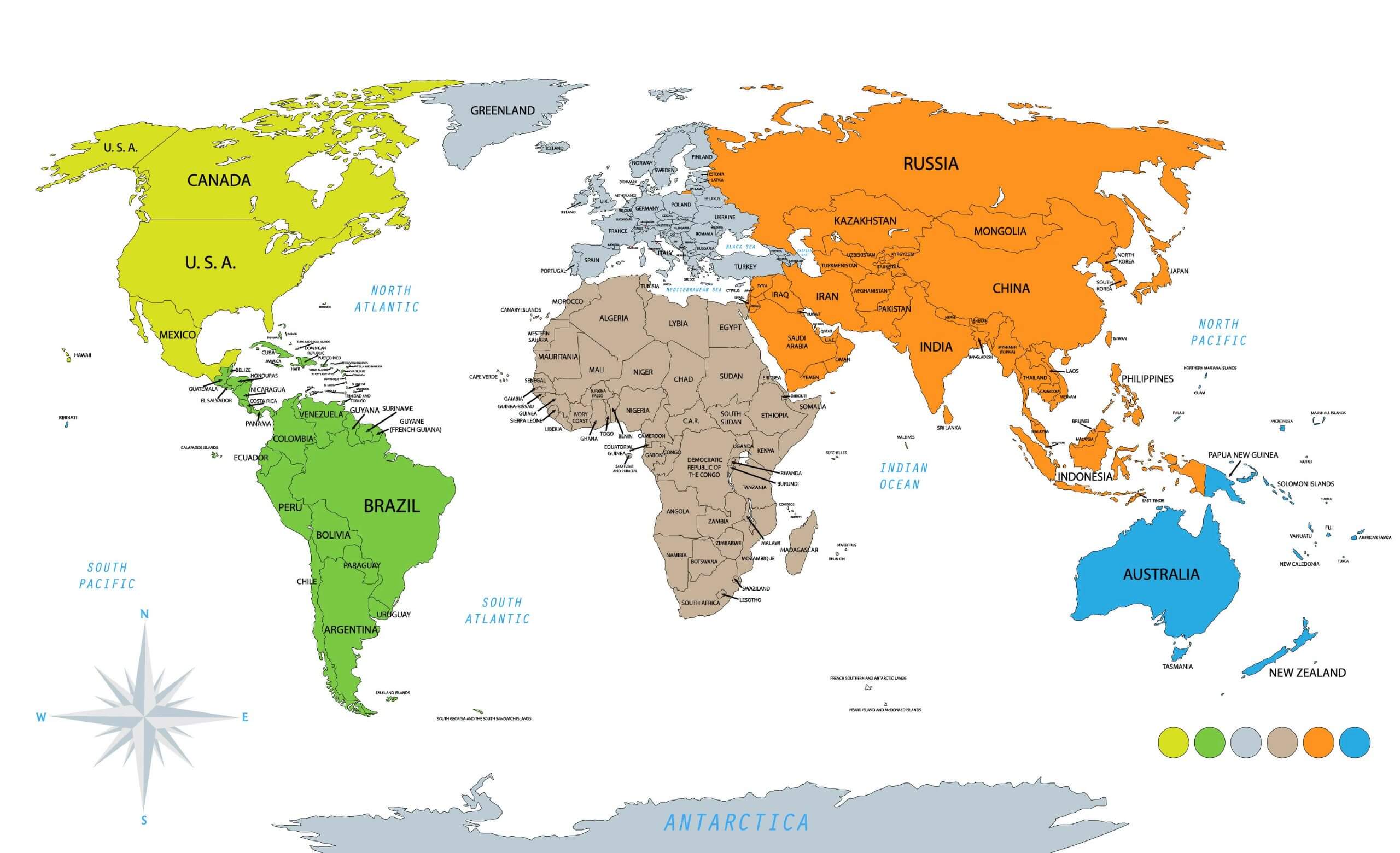
World continents colorful map with Countries
World Countries and political map
World Countries animals map
World Countries blank map
World Countries detailed map
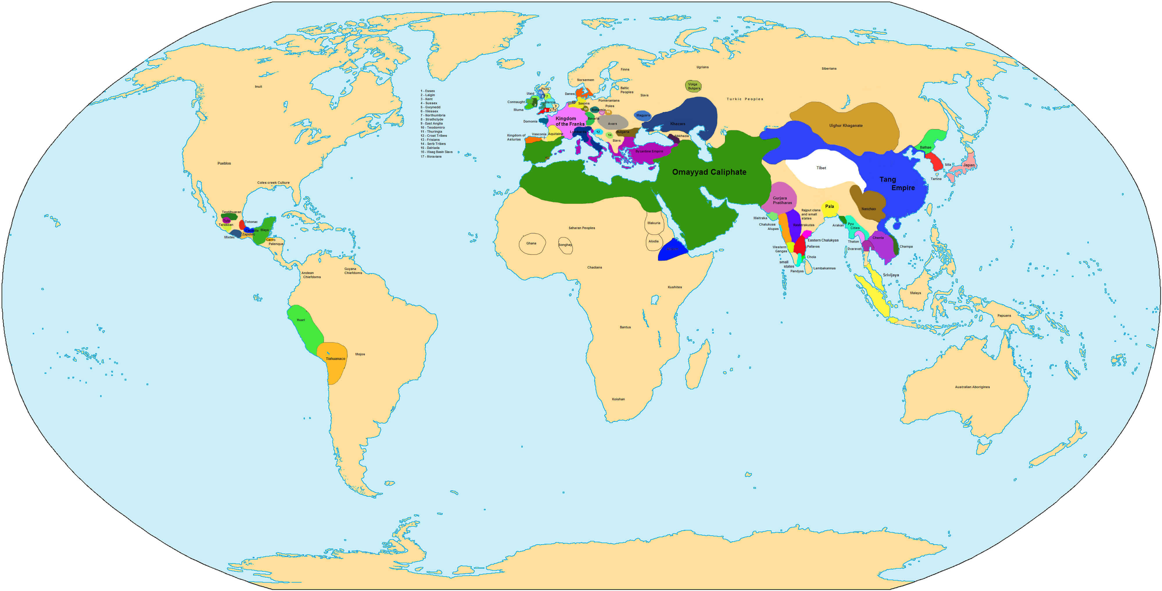
World Countries historical map
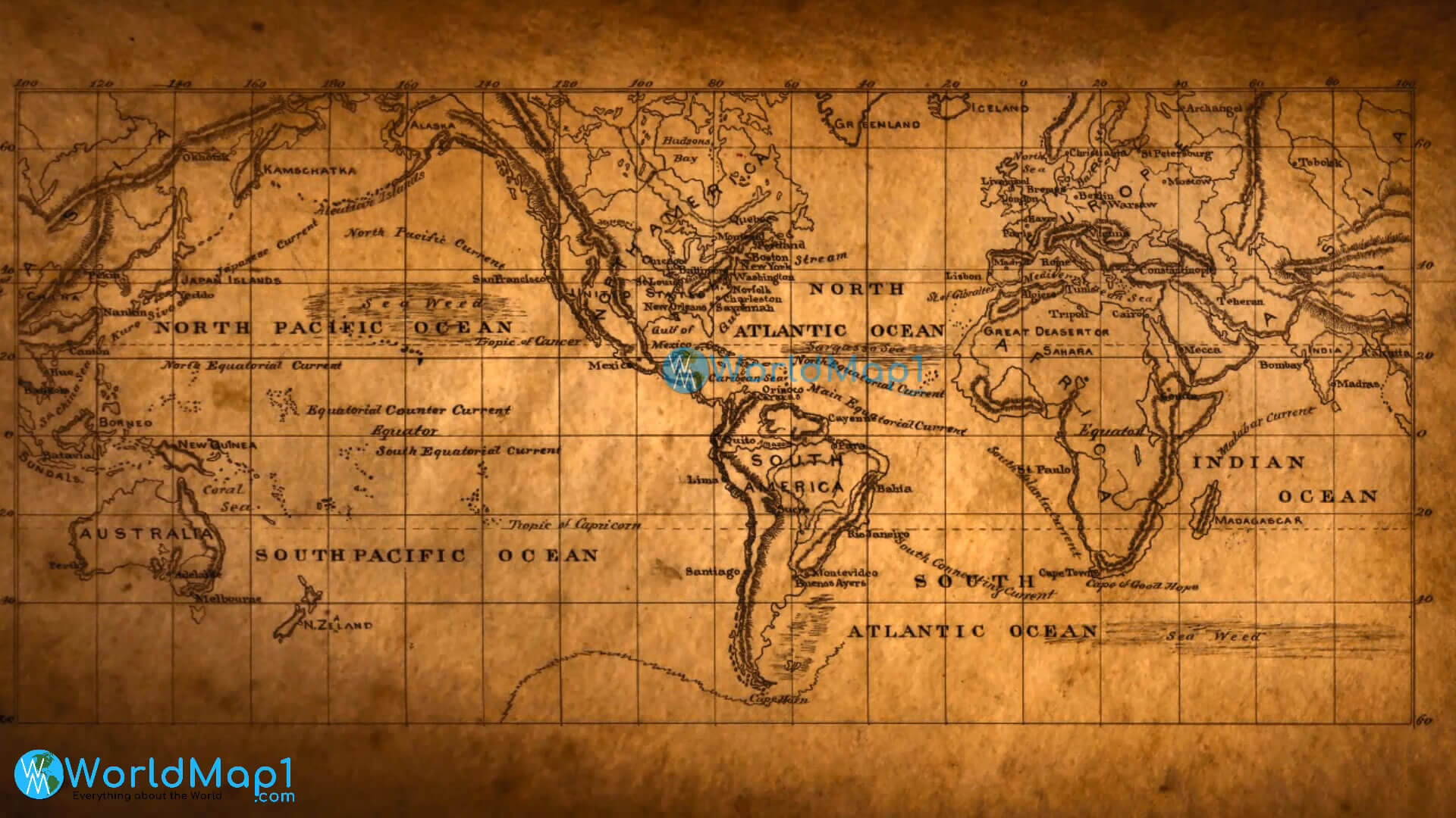
World Countries map in 750
World Countries map with international borders
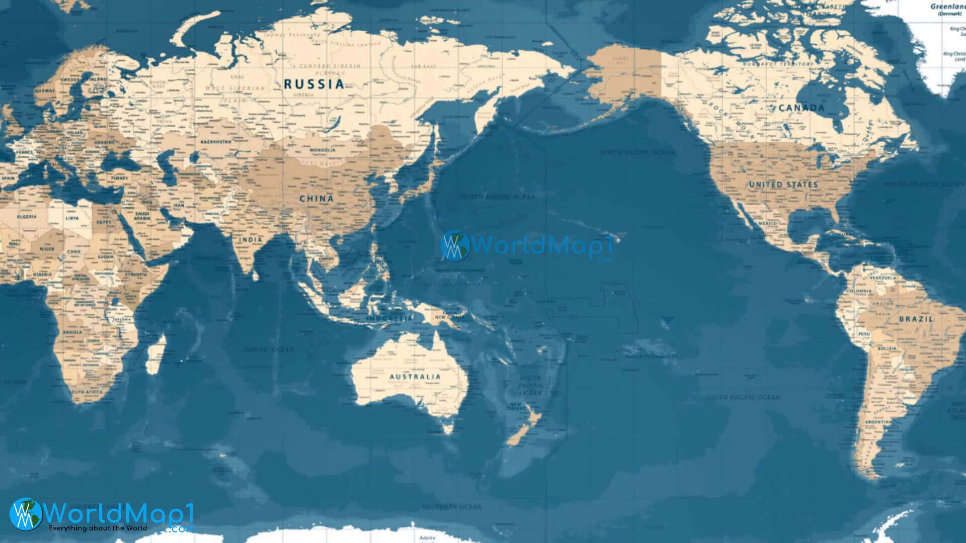
World Countries map with pacific ocean
World Countries map
Colorful World Map with Countries
World political map with continents and countries
World Countries national borders map
World Countries political map
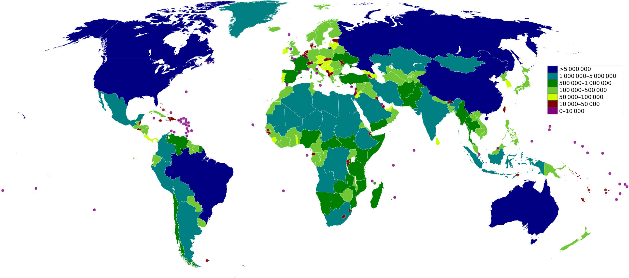
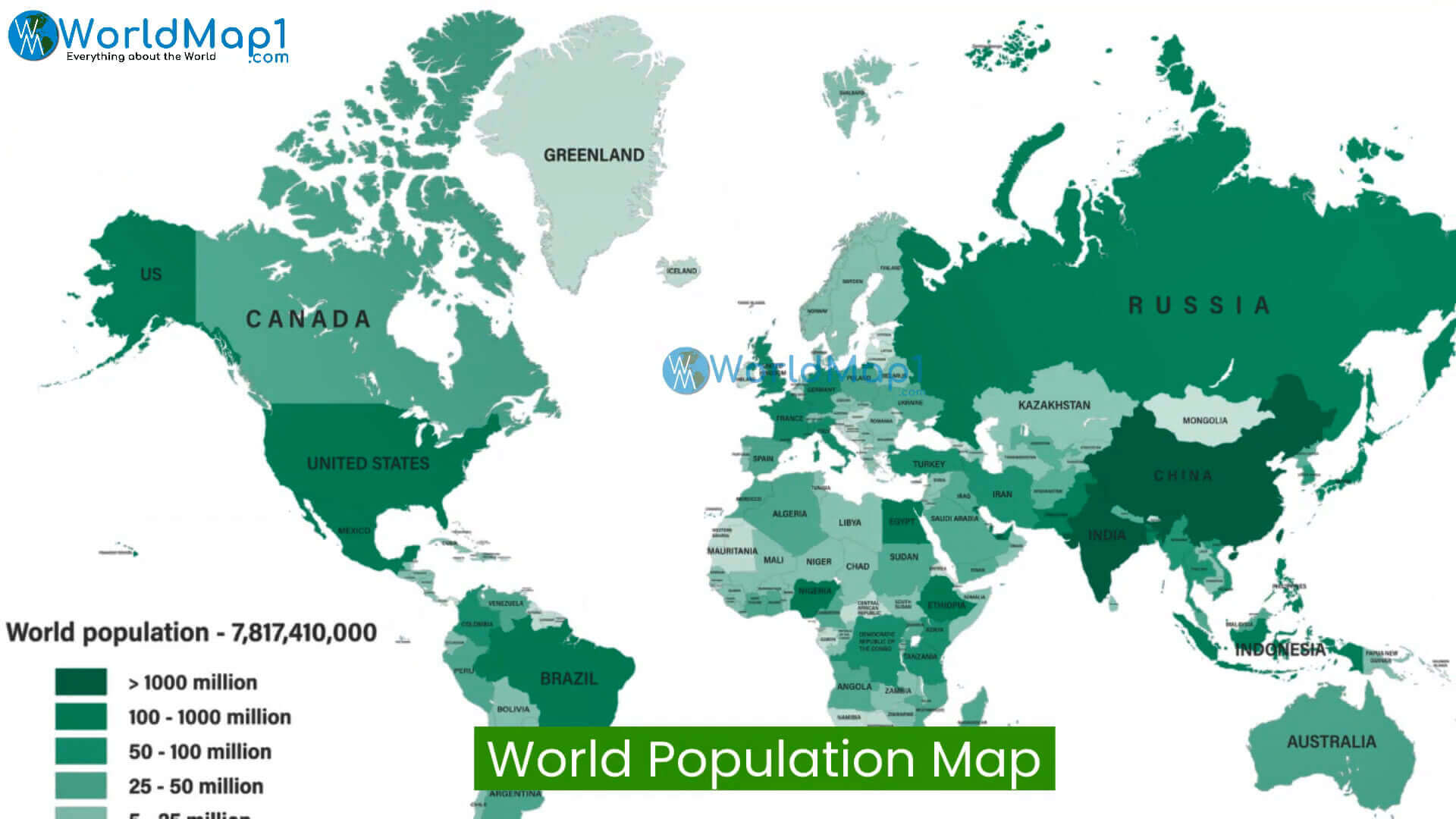
World Countries population map
World Countries relief map
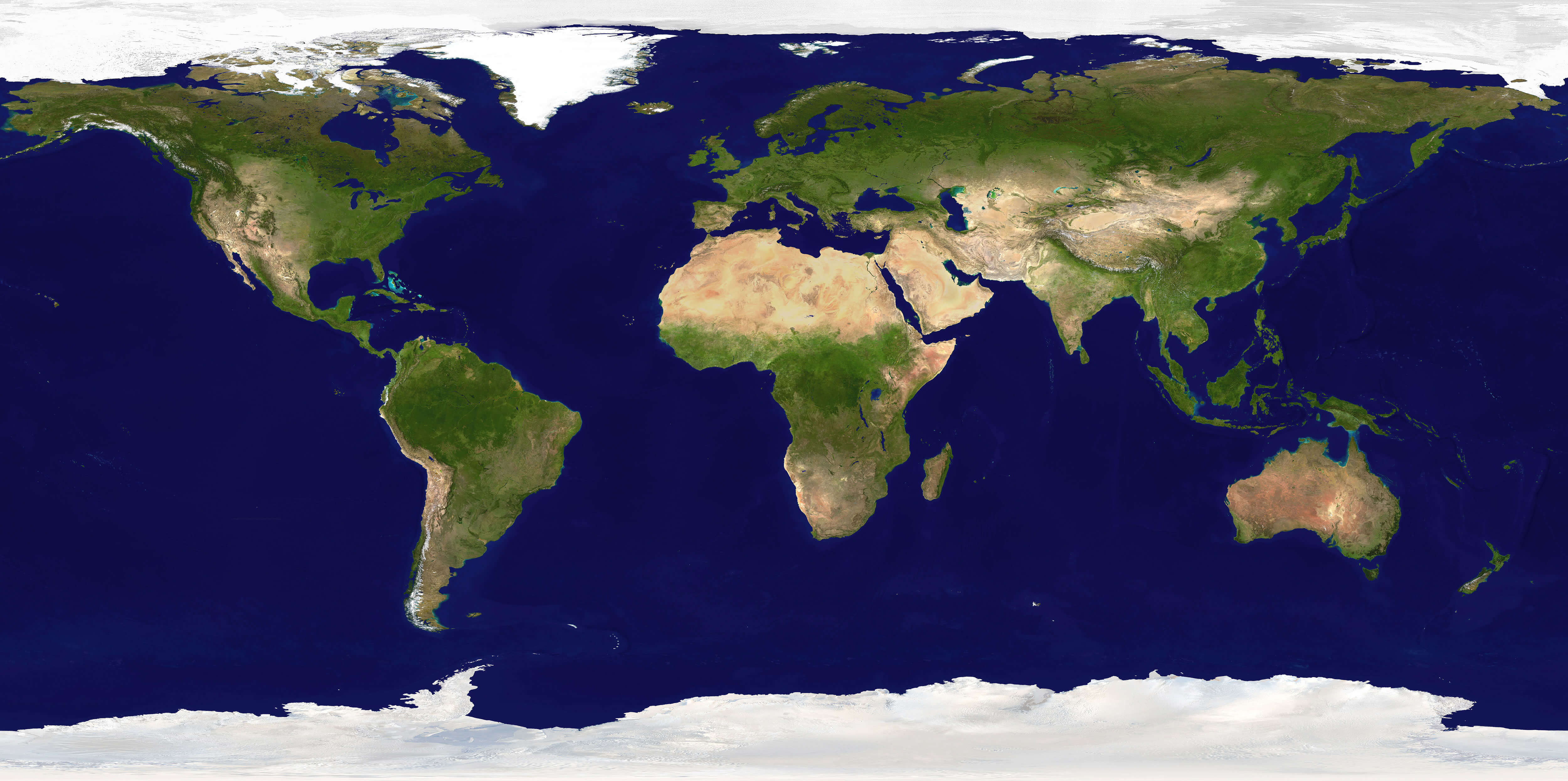
World Countries satellite map
World Countries striped map
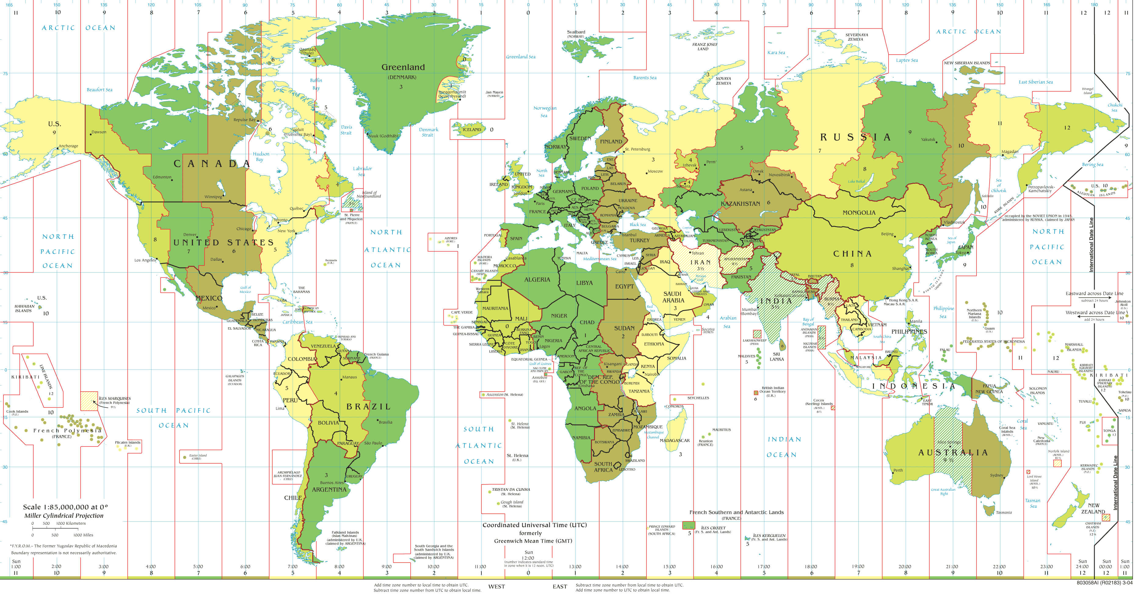
World Countries time zone map
World Countries topography map
World map with Countries and oceans
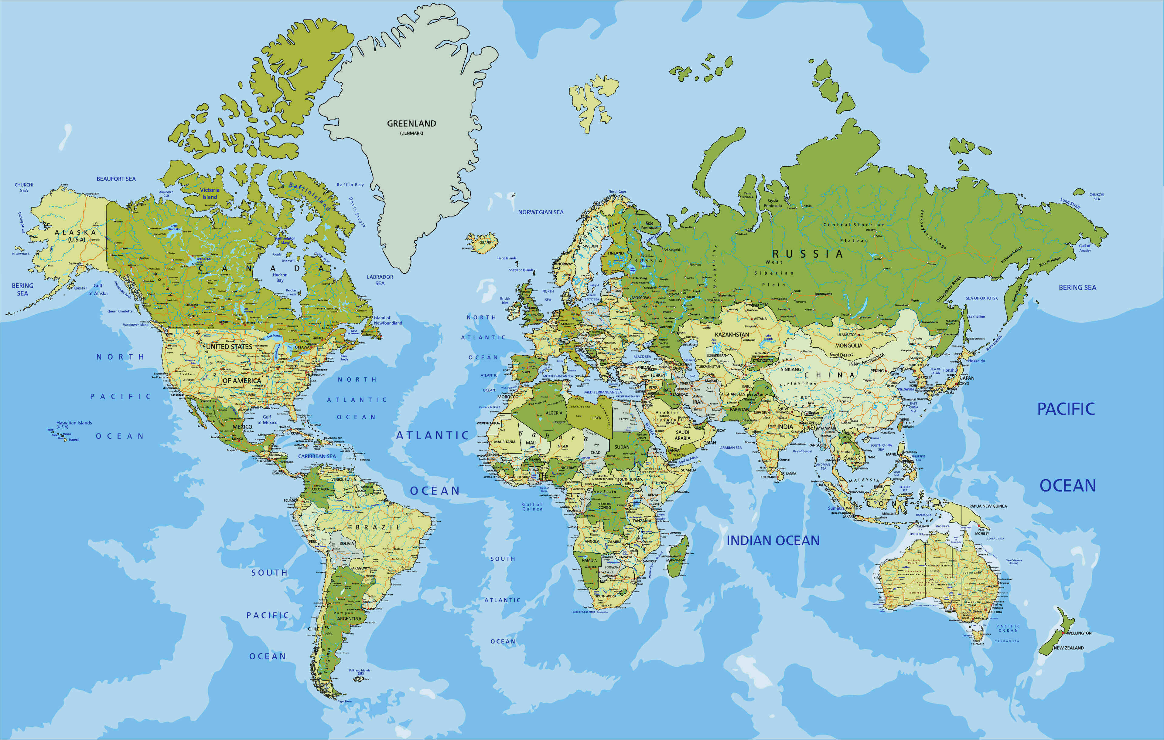
World map with Countries mountains rivers platos
World map with Countries
Feel free to explore these pages as well:
- World Map
- World
- Europe Population Map Countries 2006
- More World Map
- Map of the World
- Map of World
- World Maps
- World Political Map
- World Atlas
- World Map with Countries
- World Map Collection
- World Population Map
- World Wallpapers Maps
- Large World Maps
- Download World Map
- World Map in High-Resolution
- Free HD World Map
- World Continent Maps
- World Satellite Maps
- Head of Performance Marketing
- Head of SEO
- Linkedin Profile: linkedin.com/in/arifcagrici