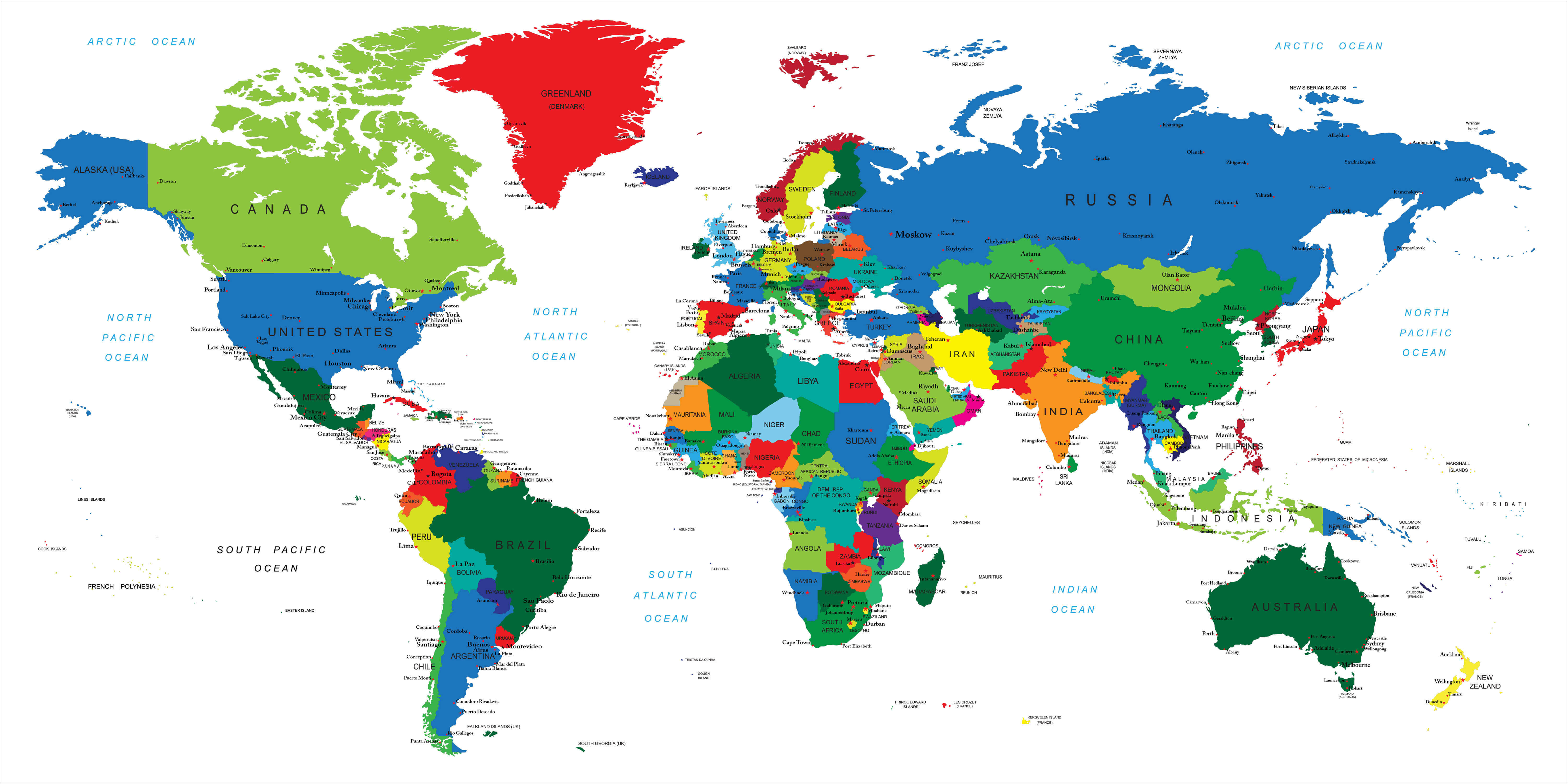
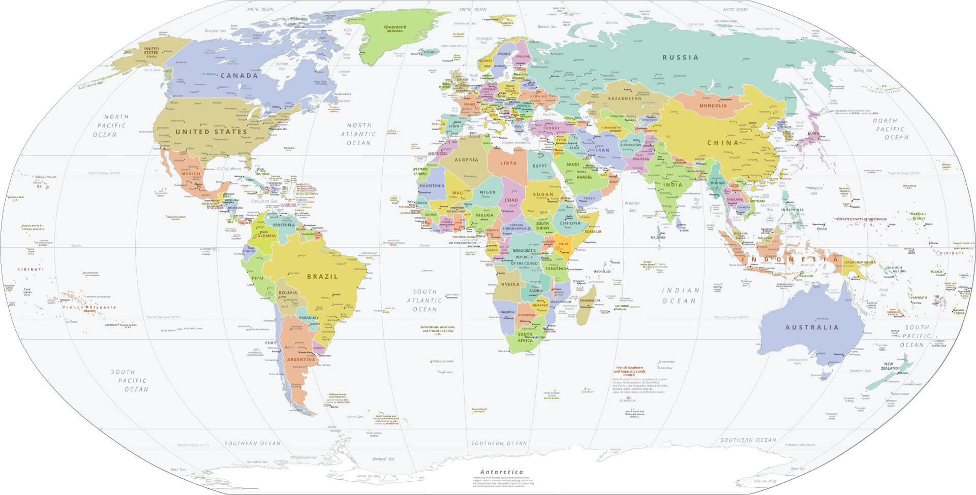
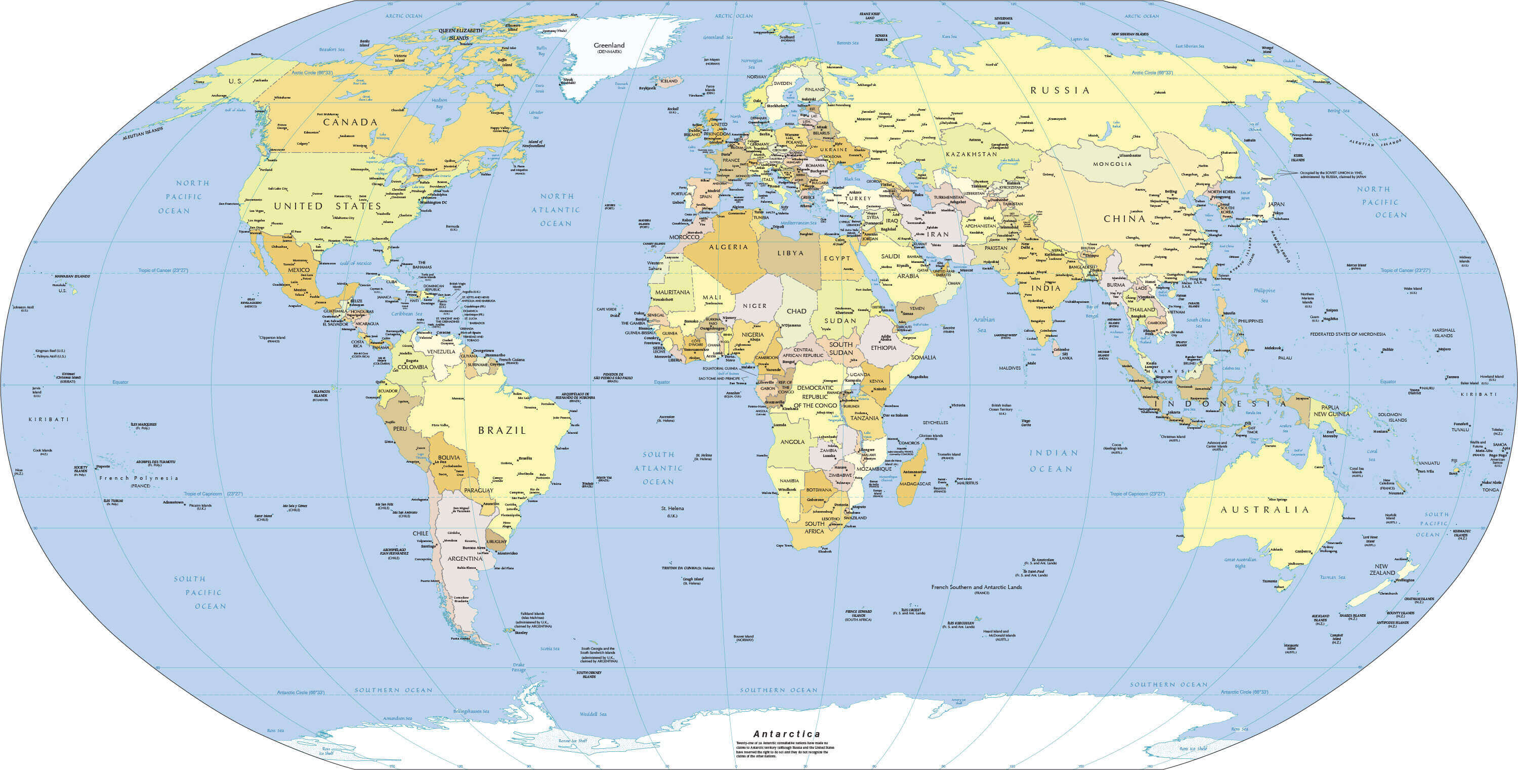
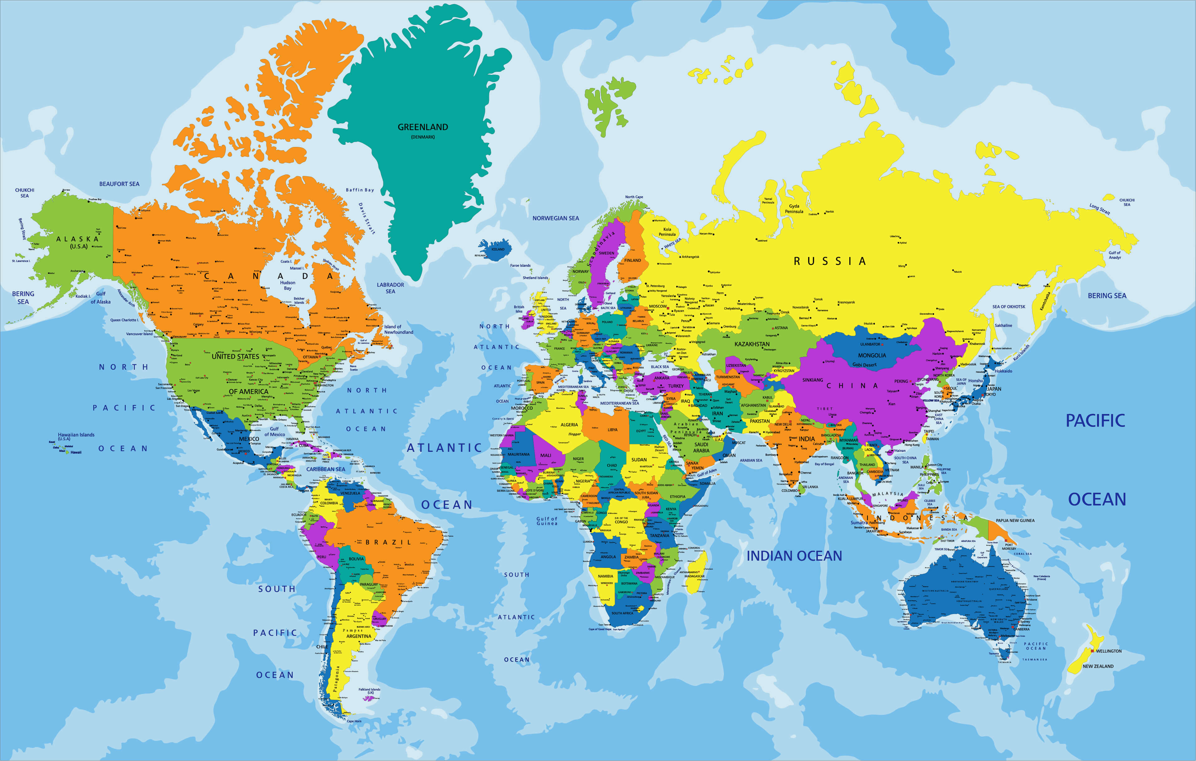
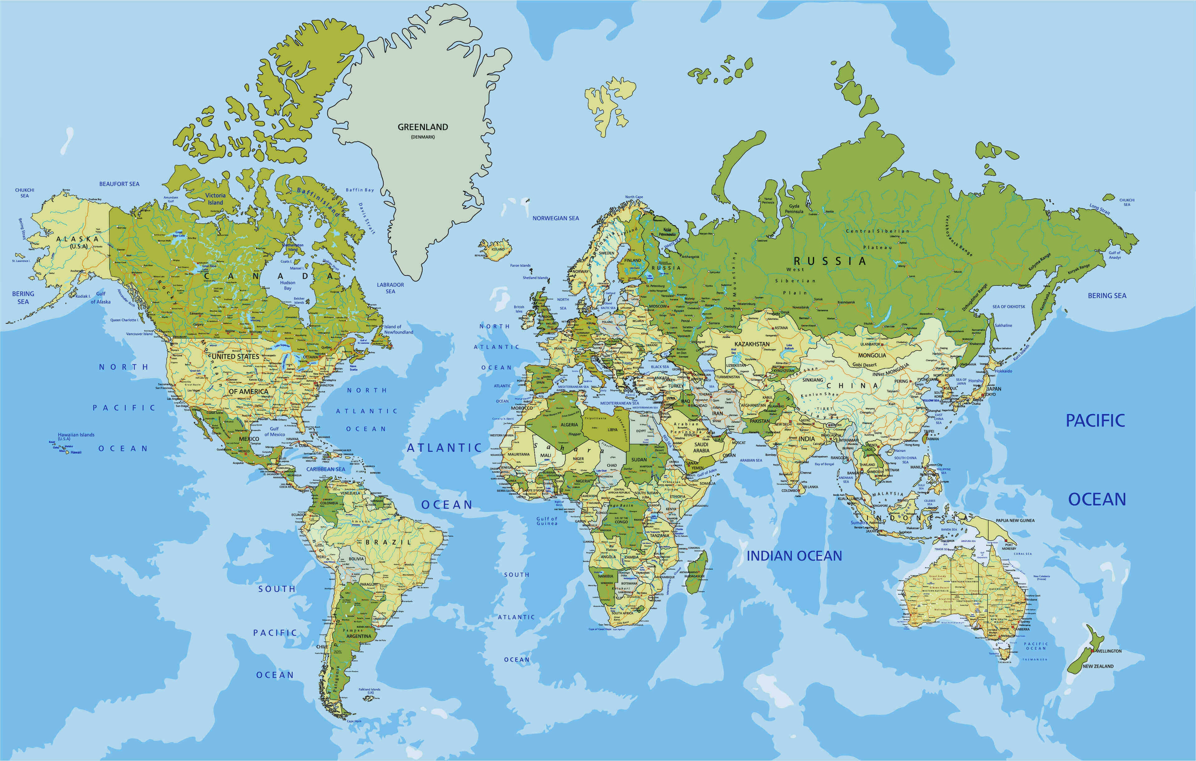
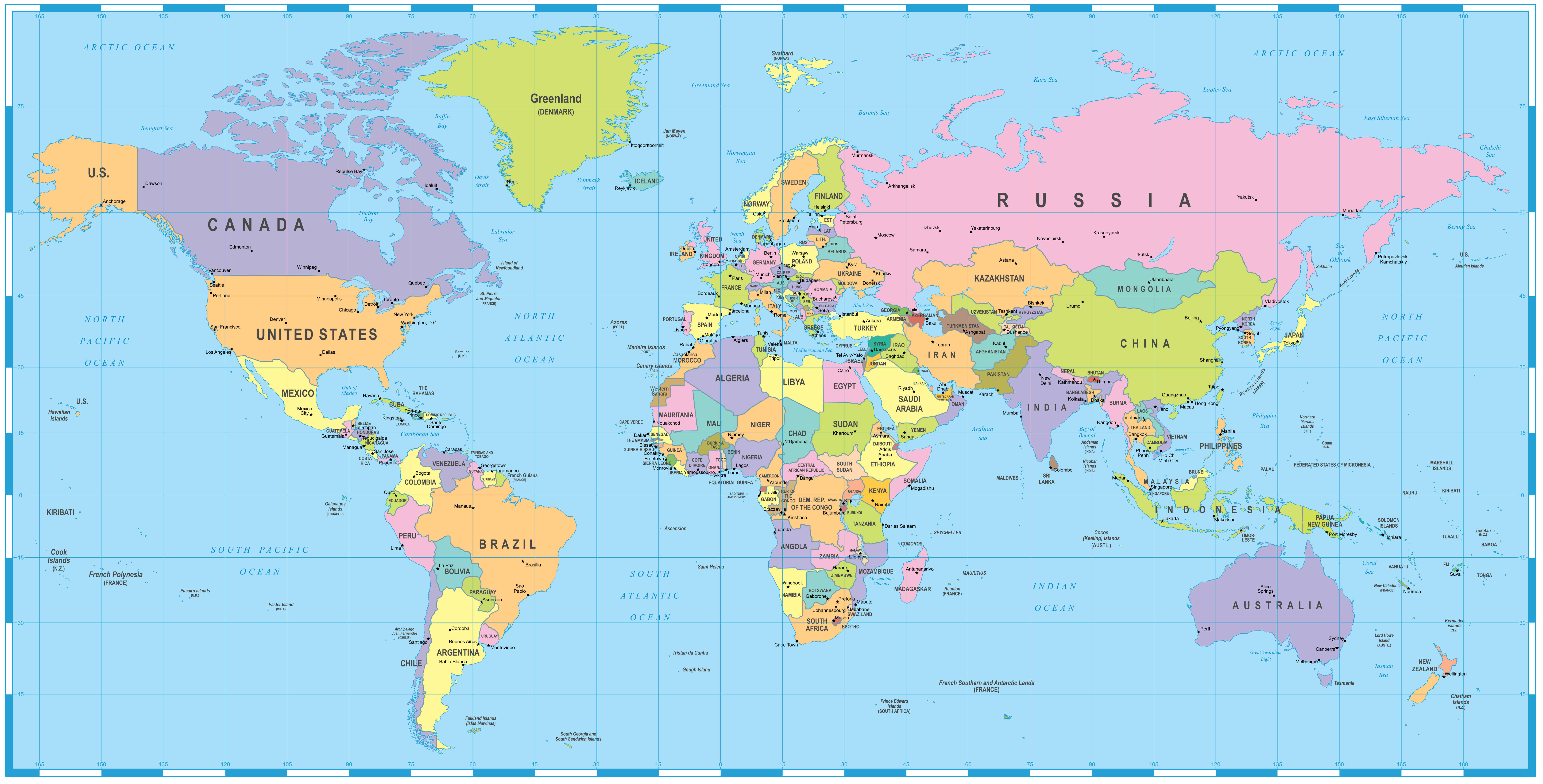
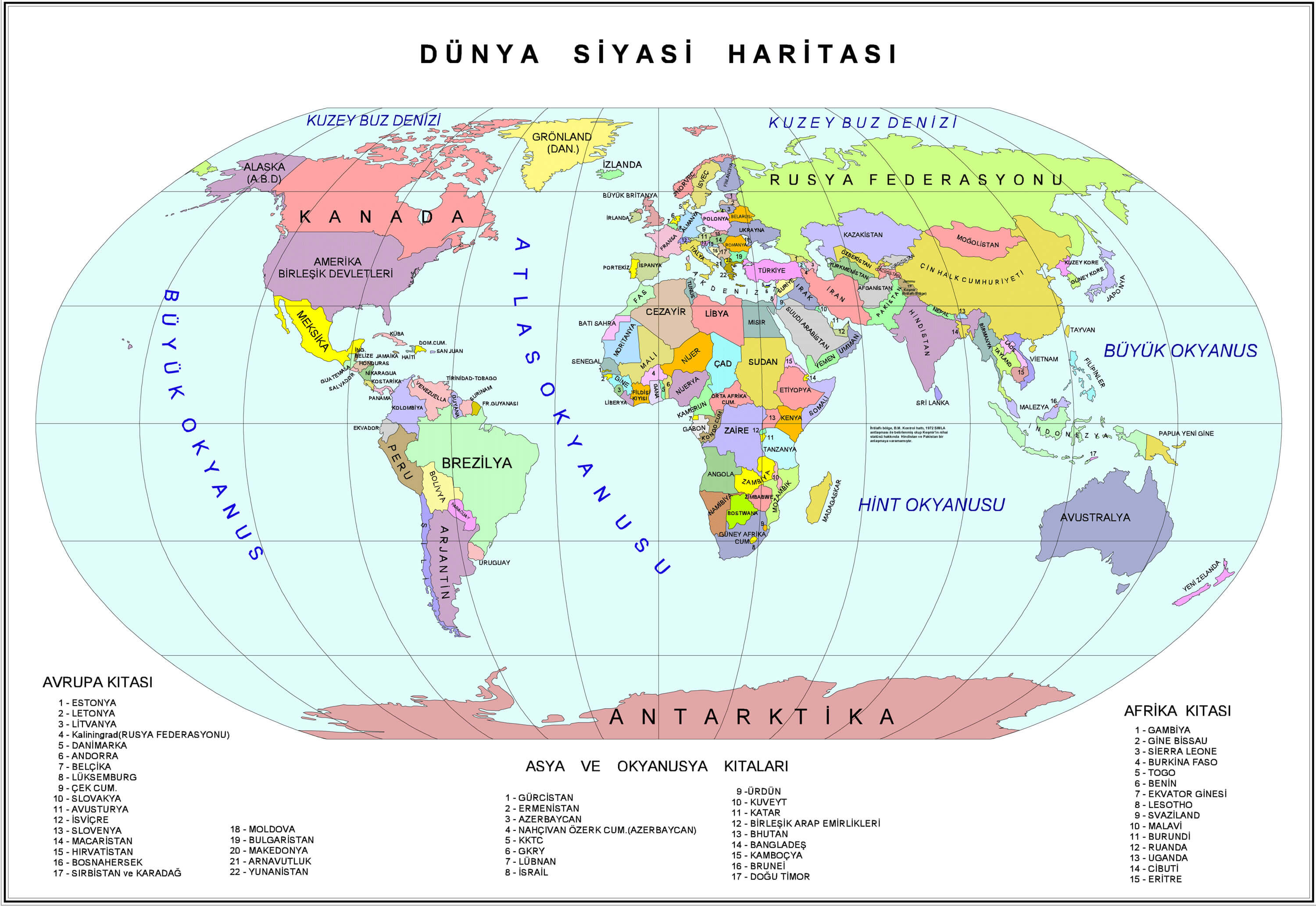
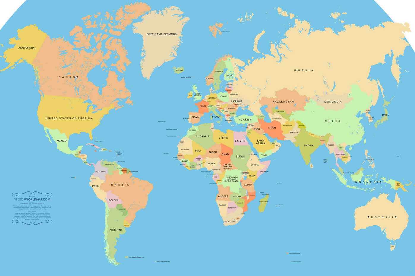
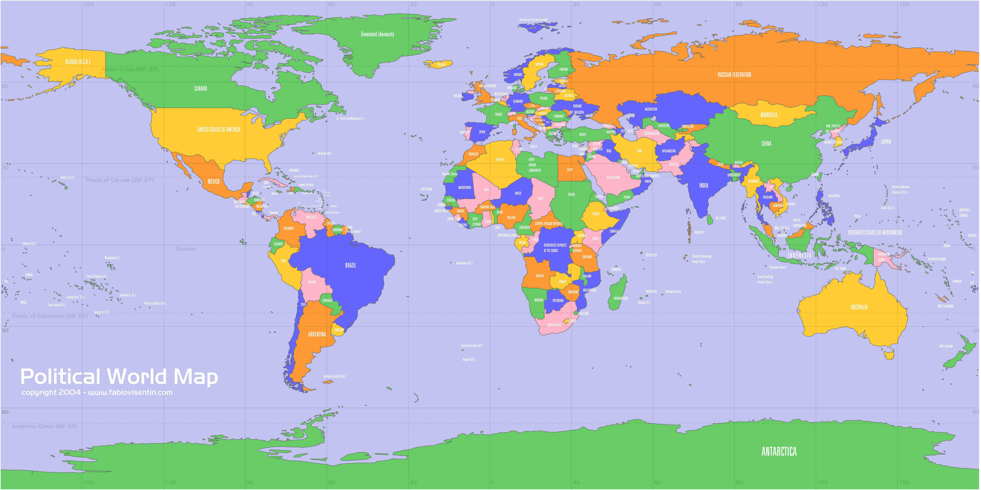
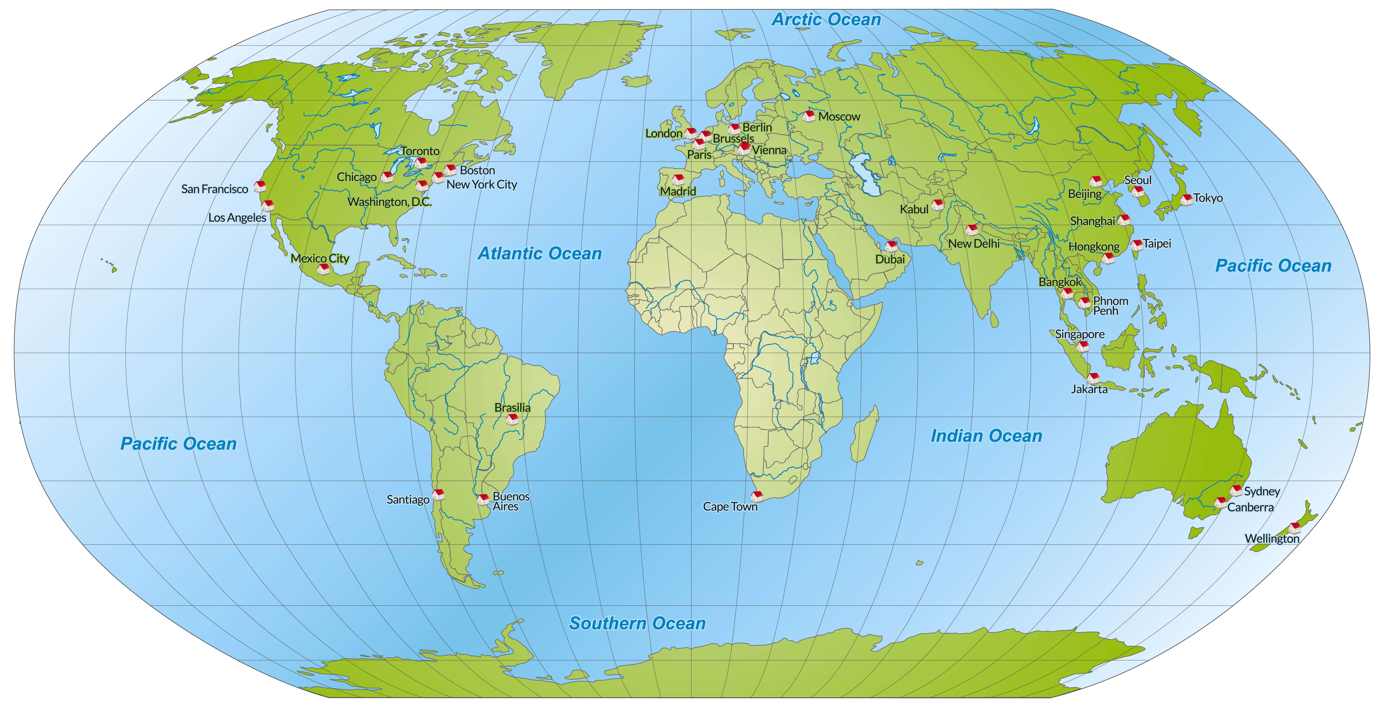
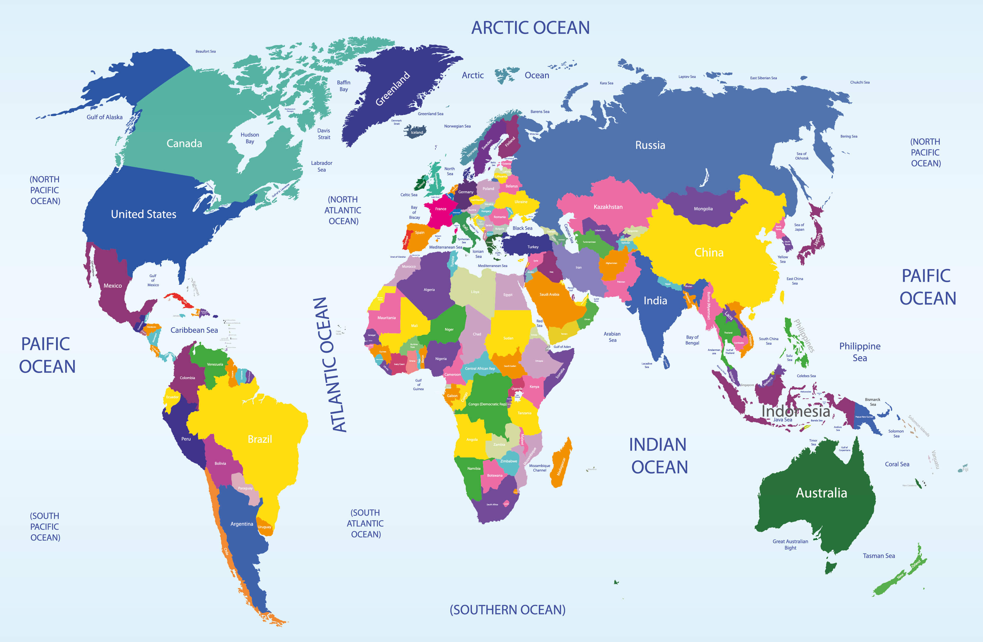
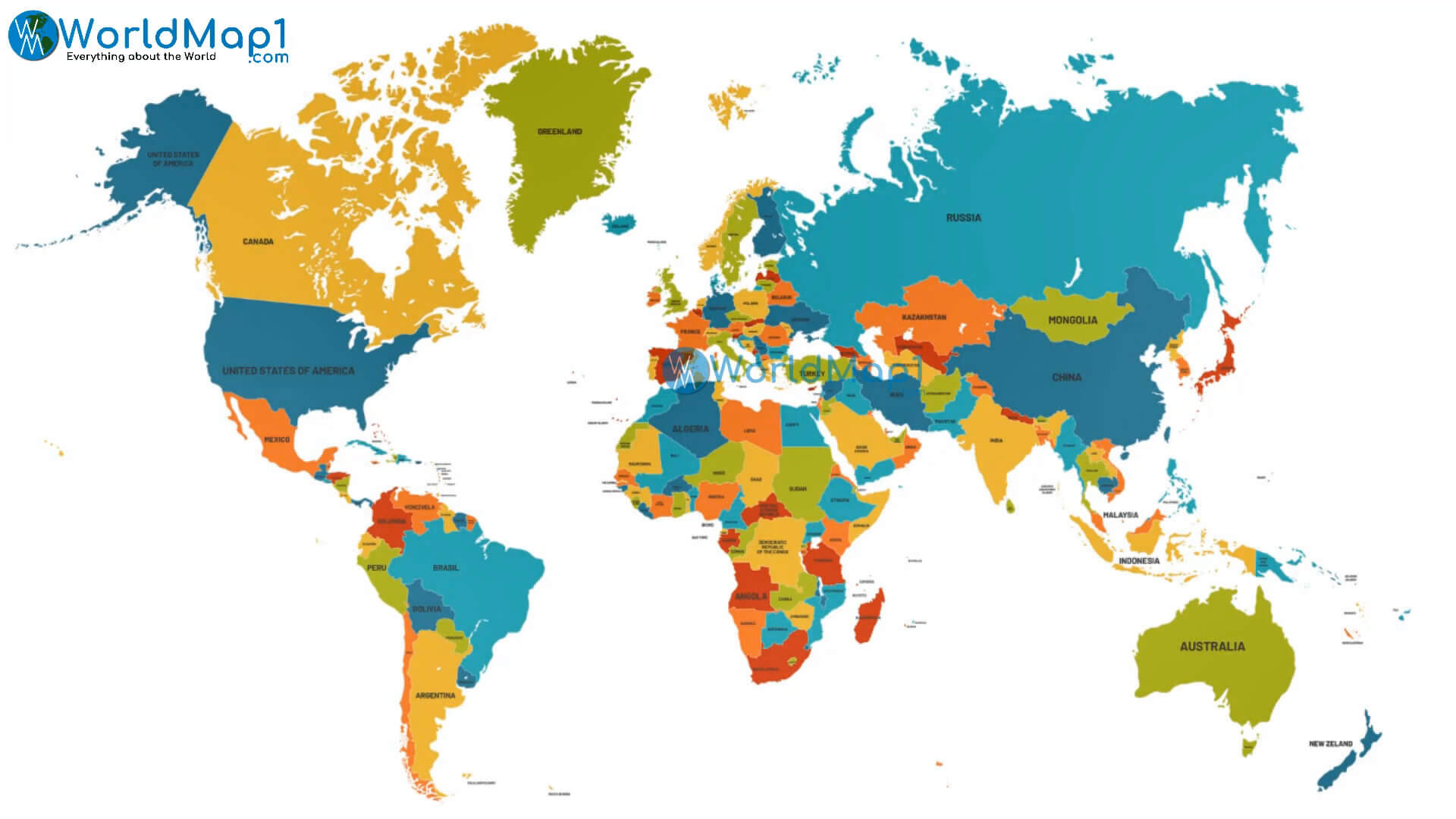
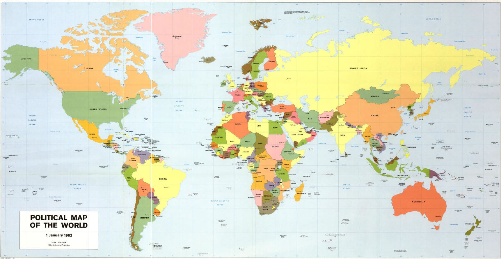
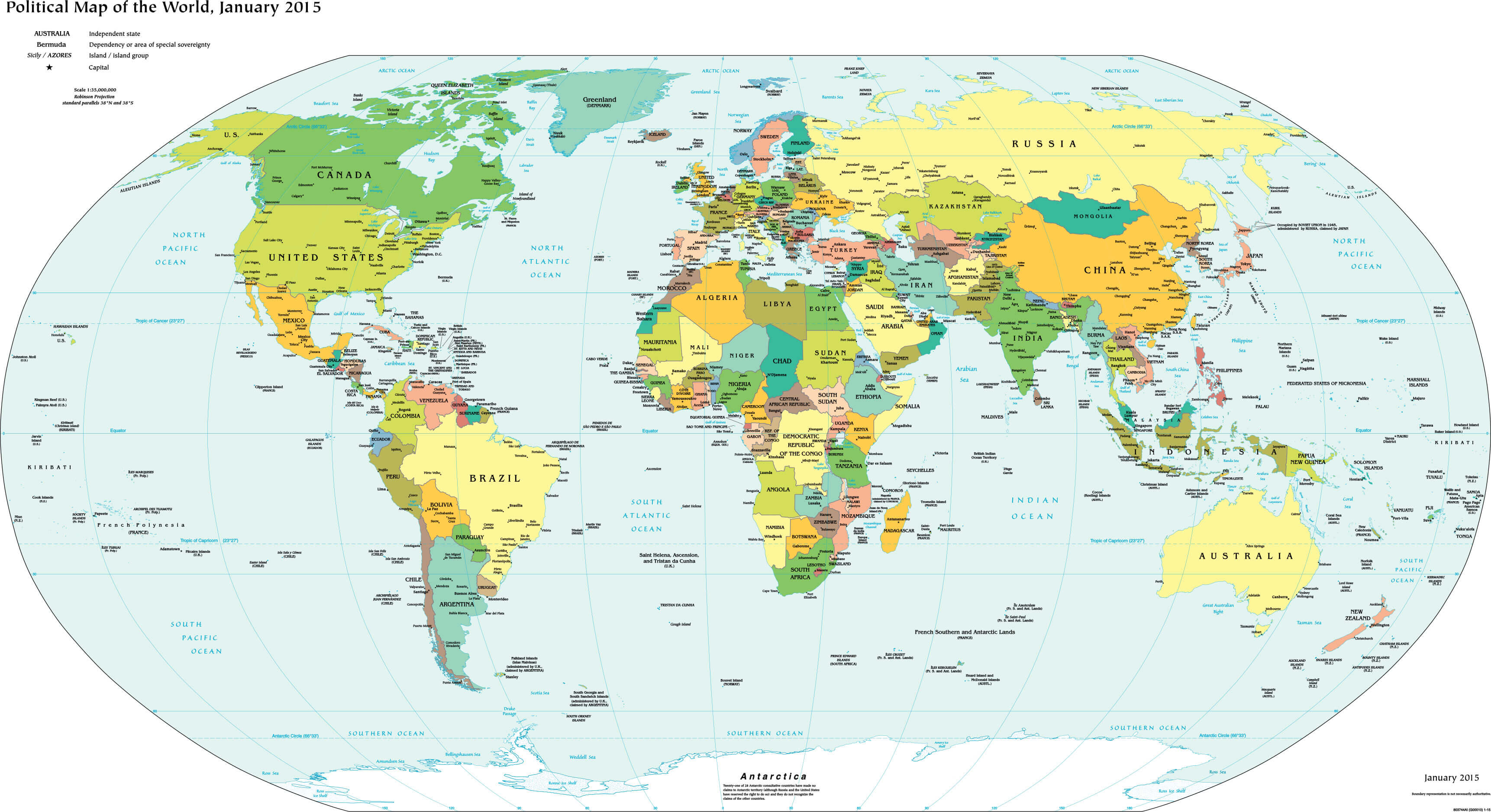
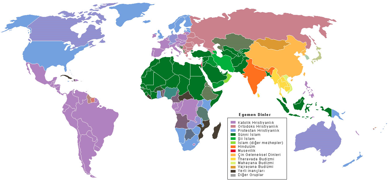
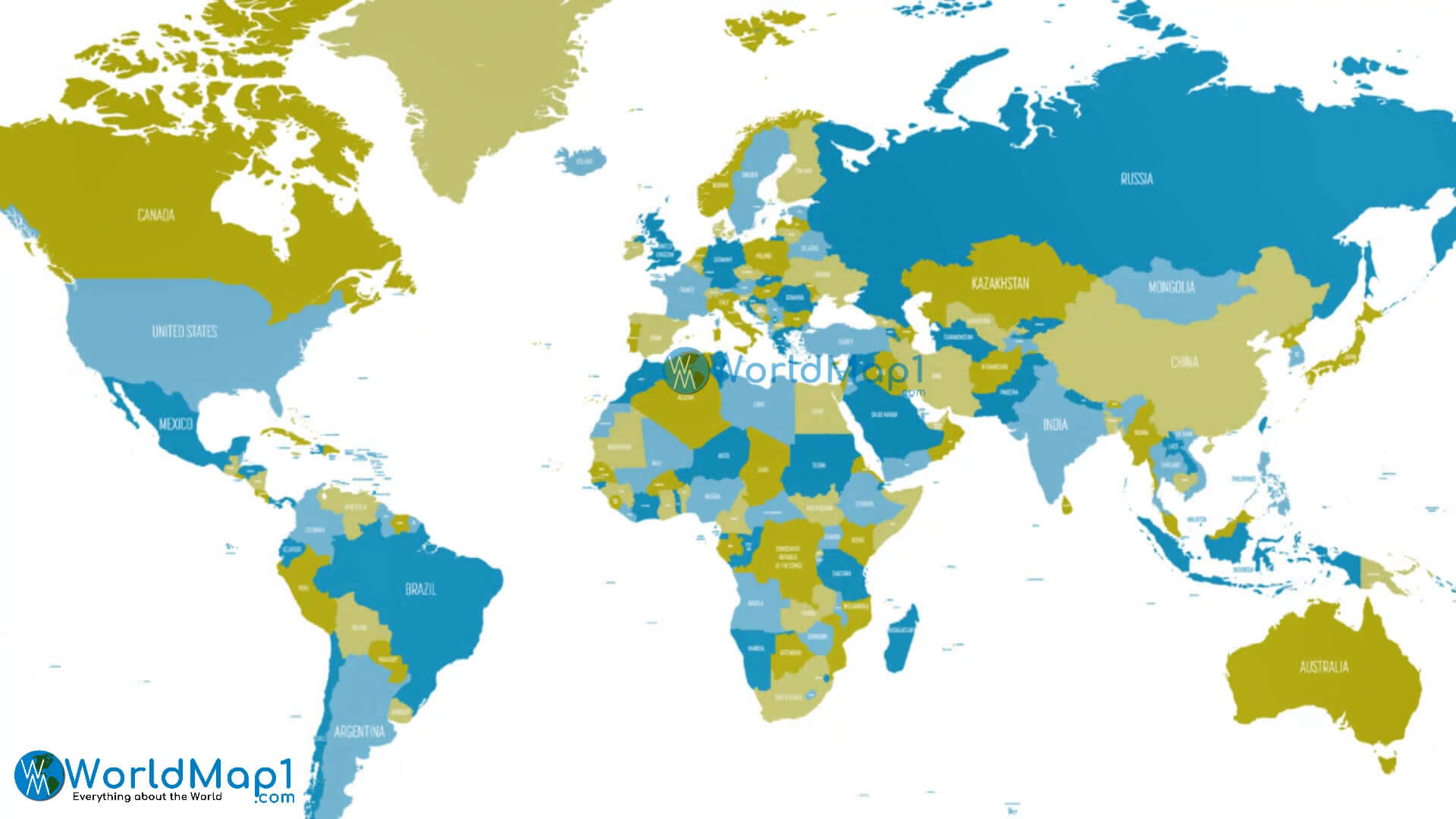
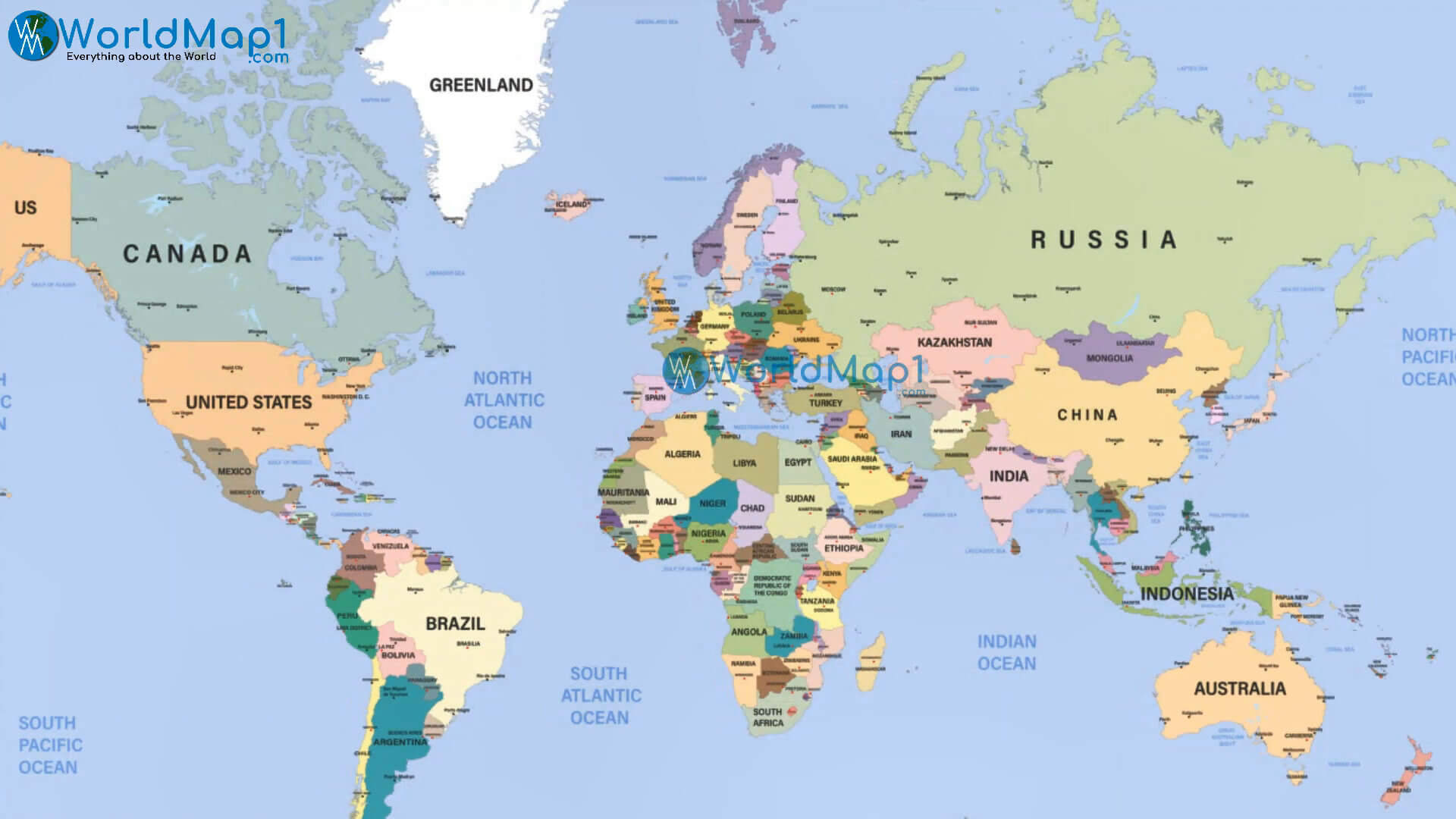
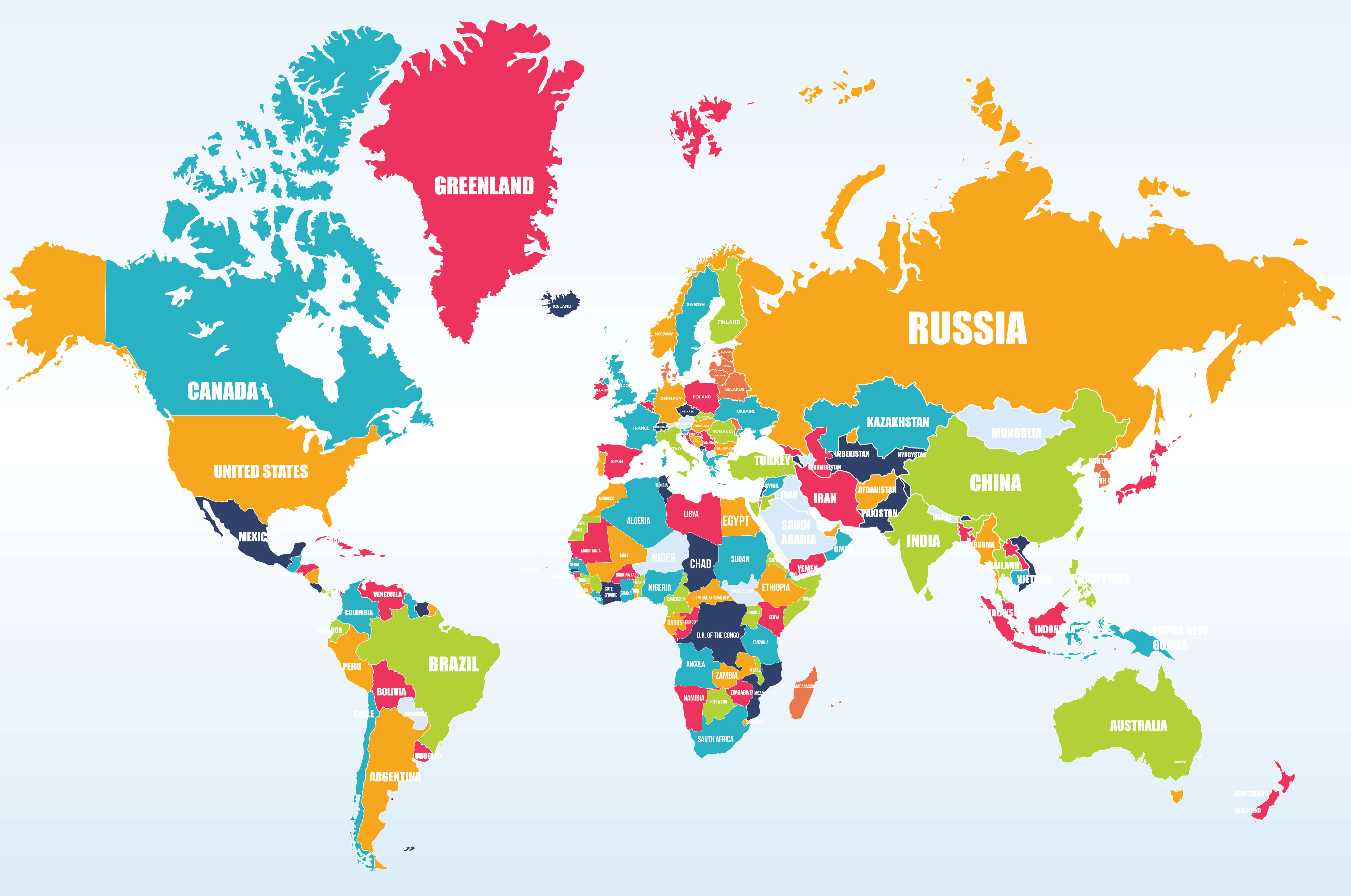
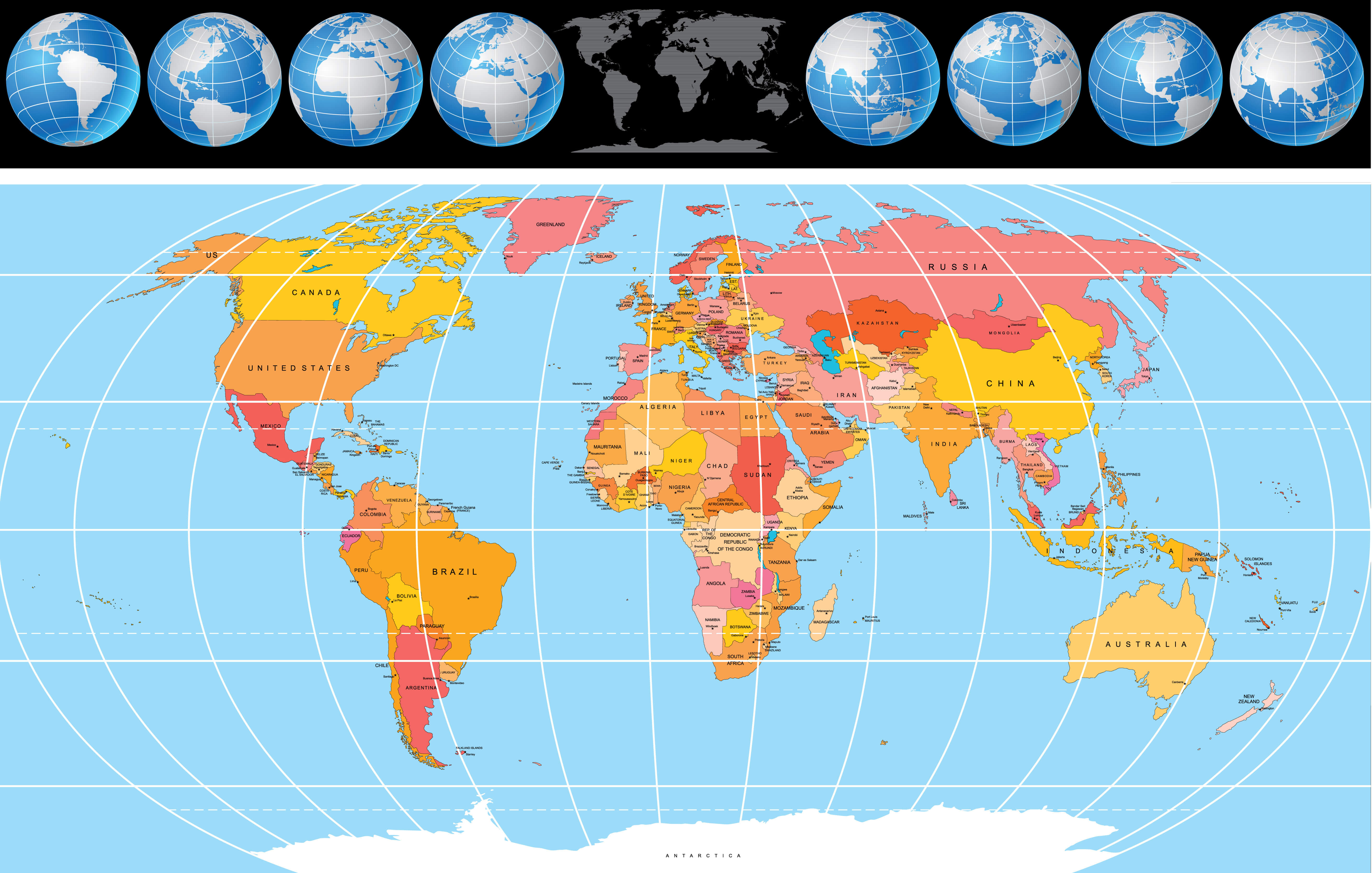
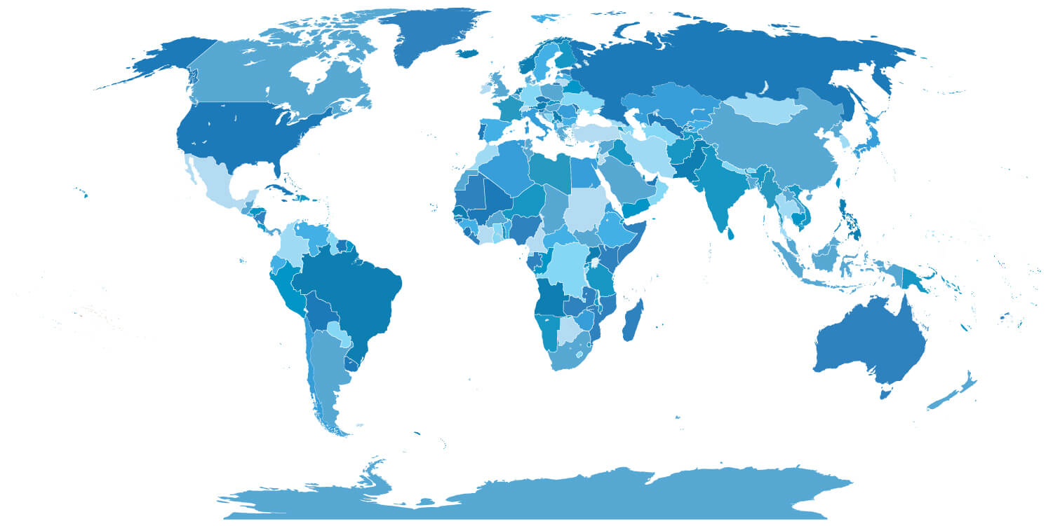
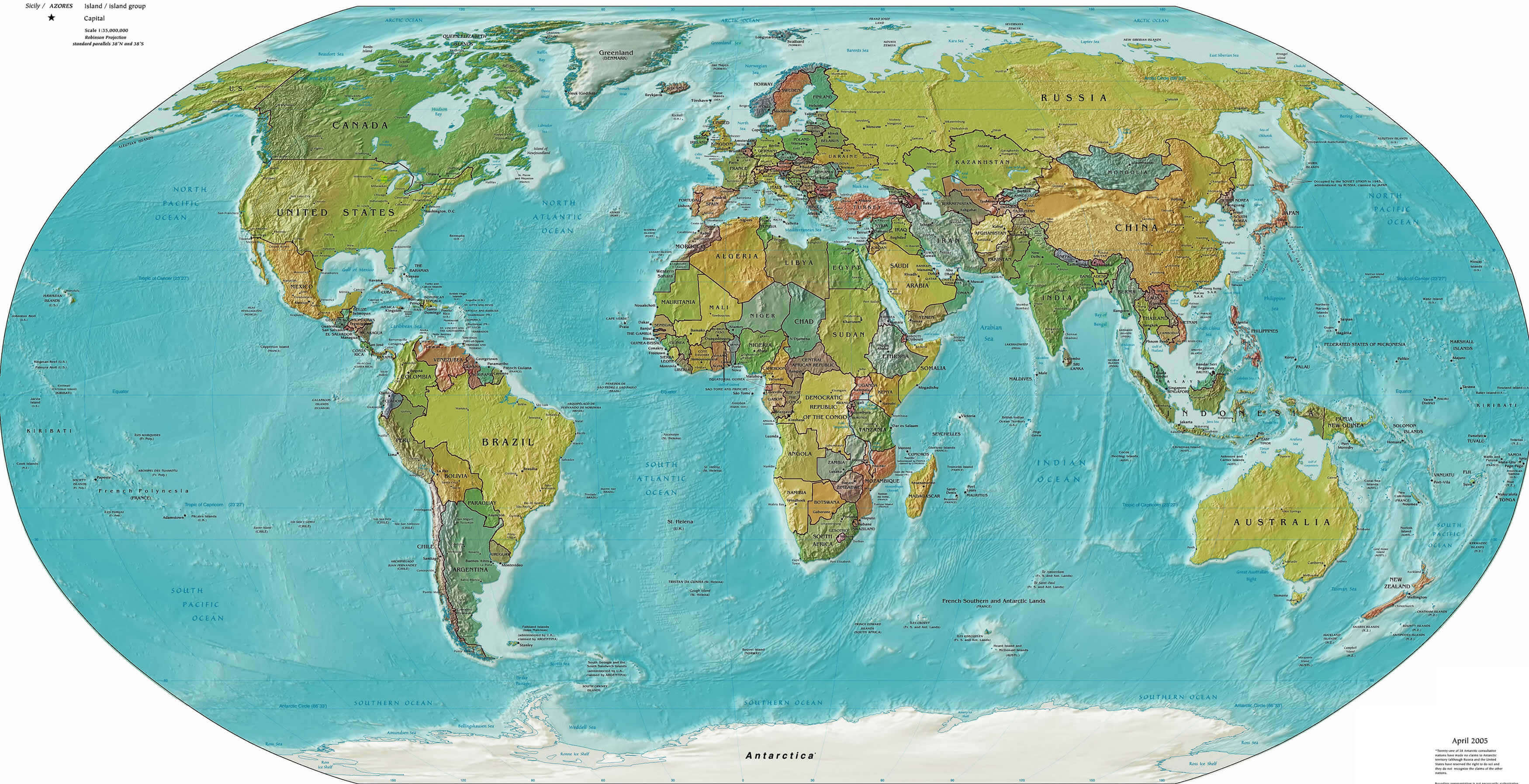
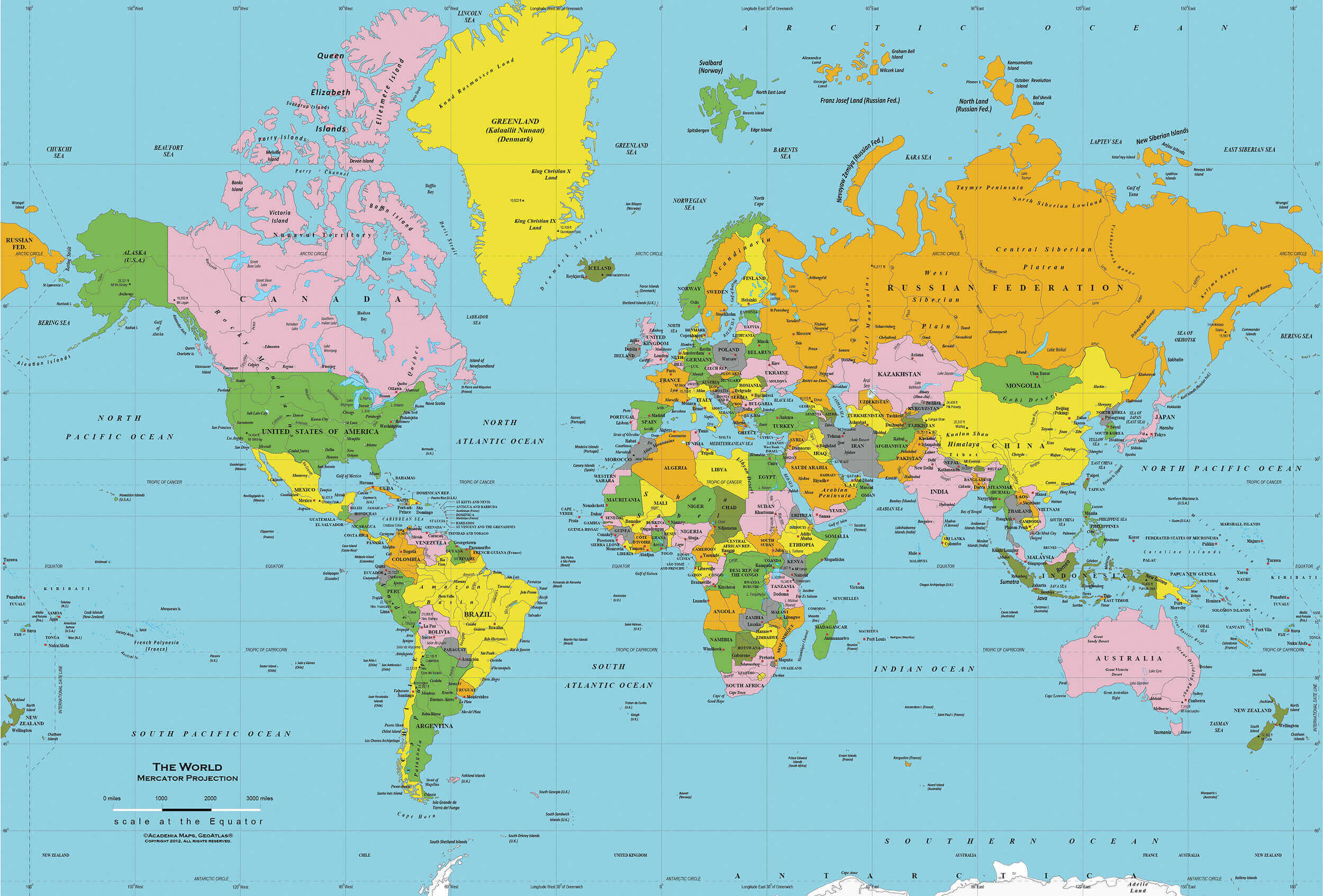
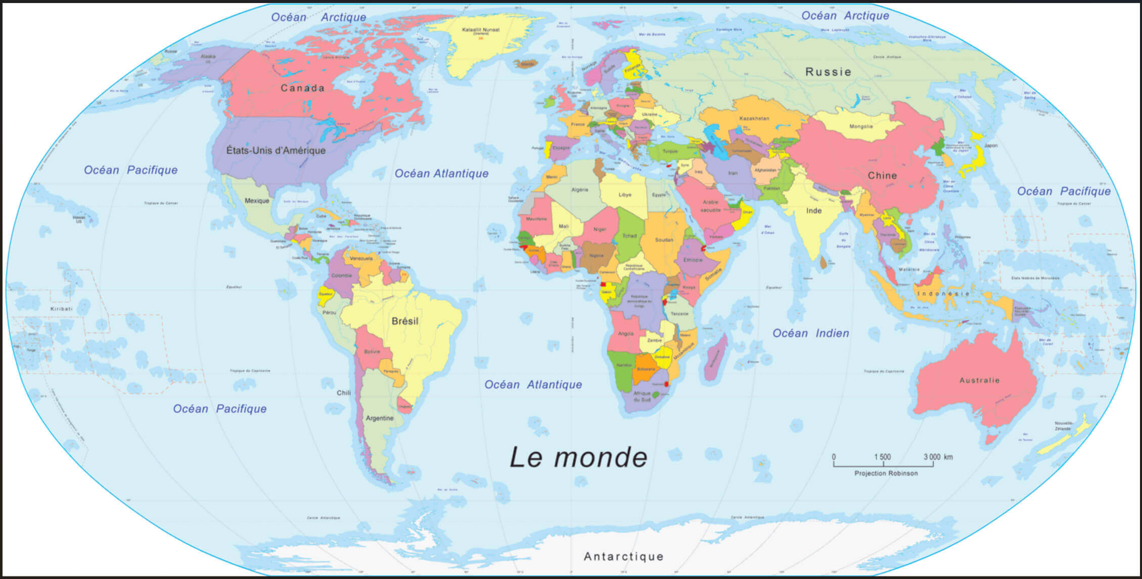
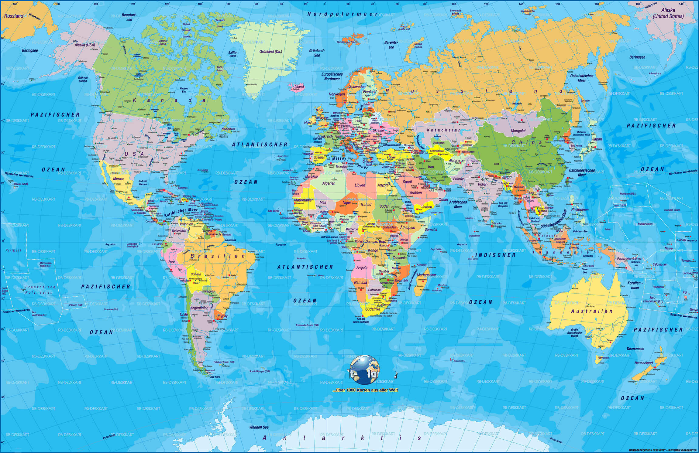
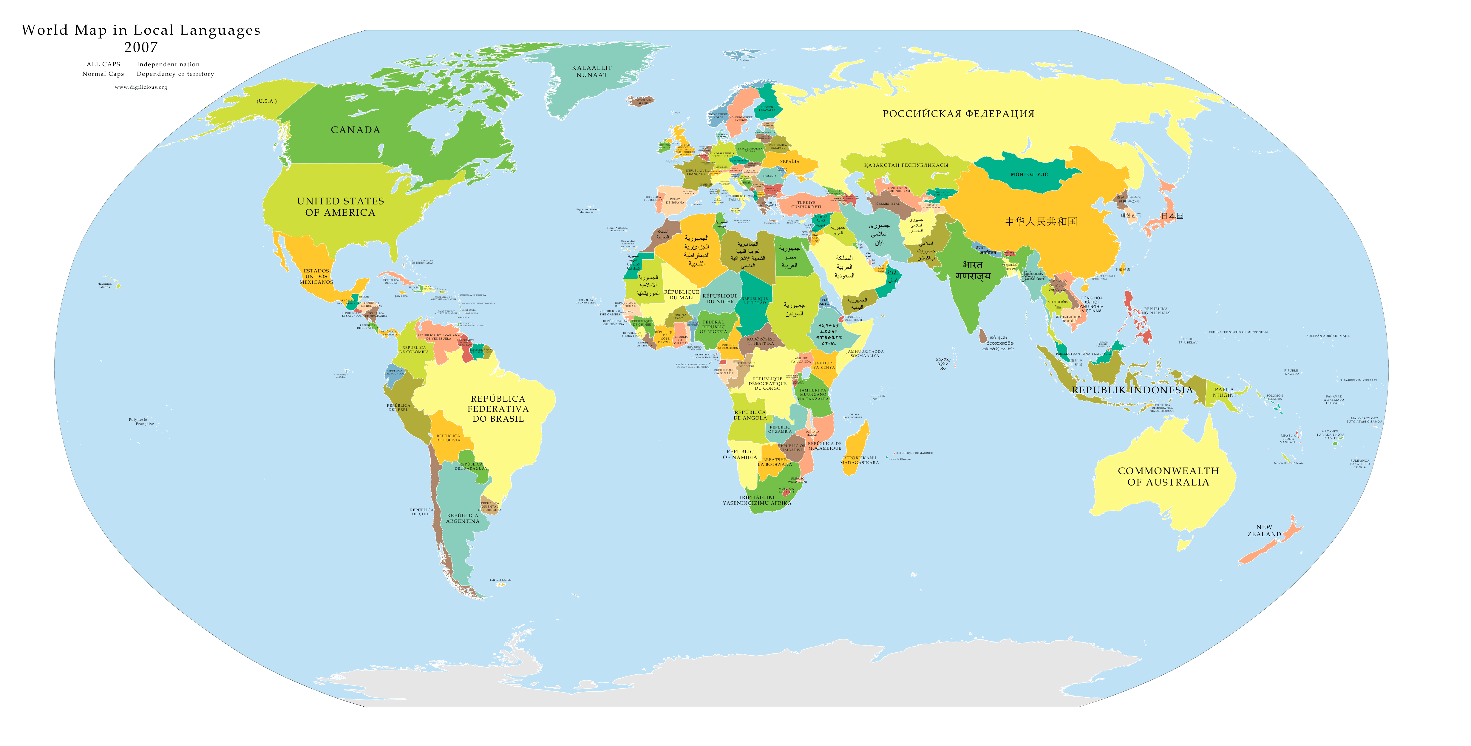
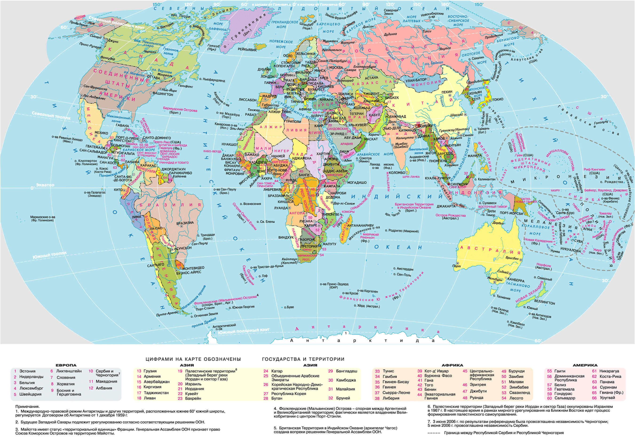
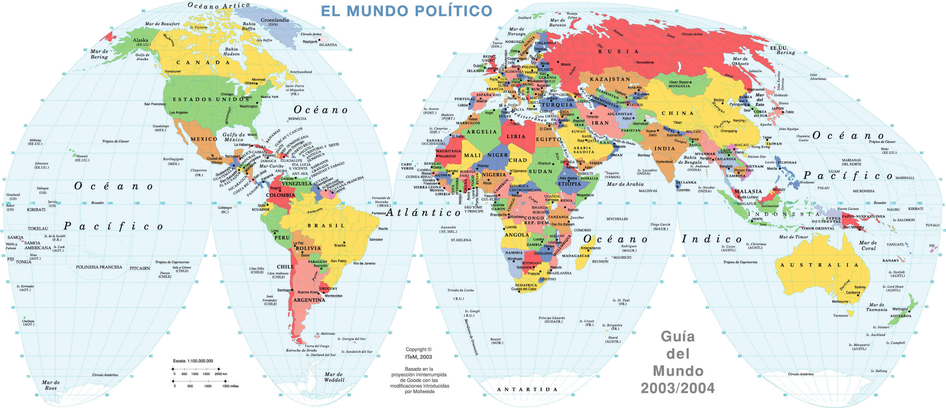
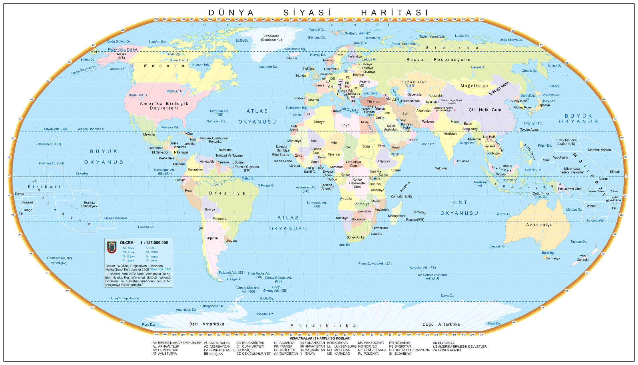
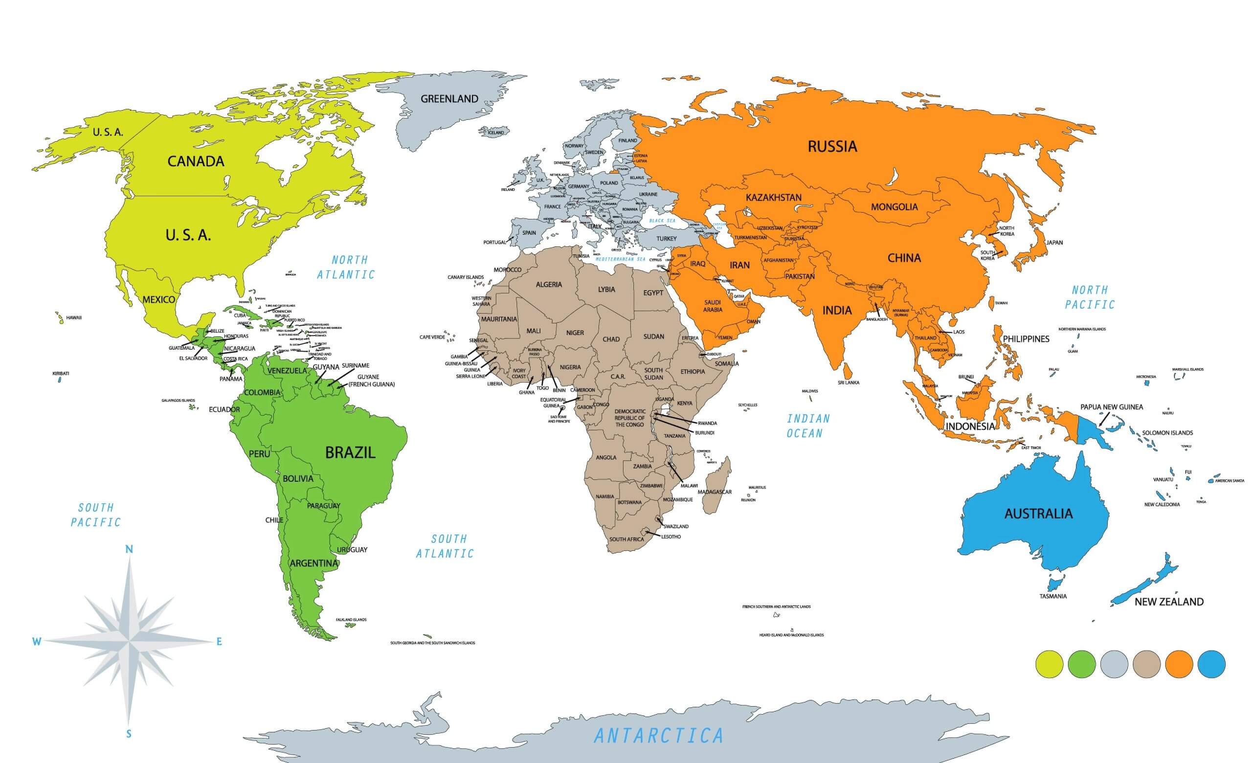
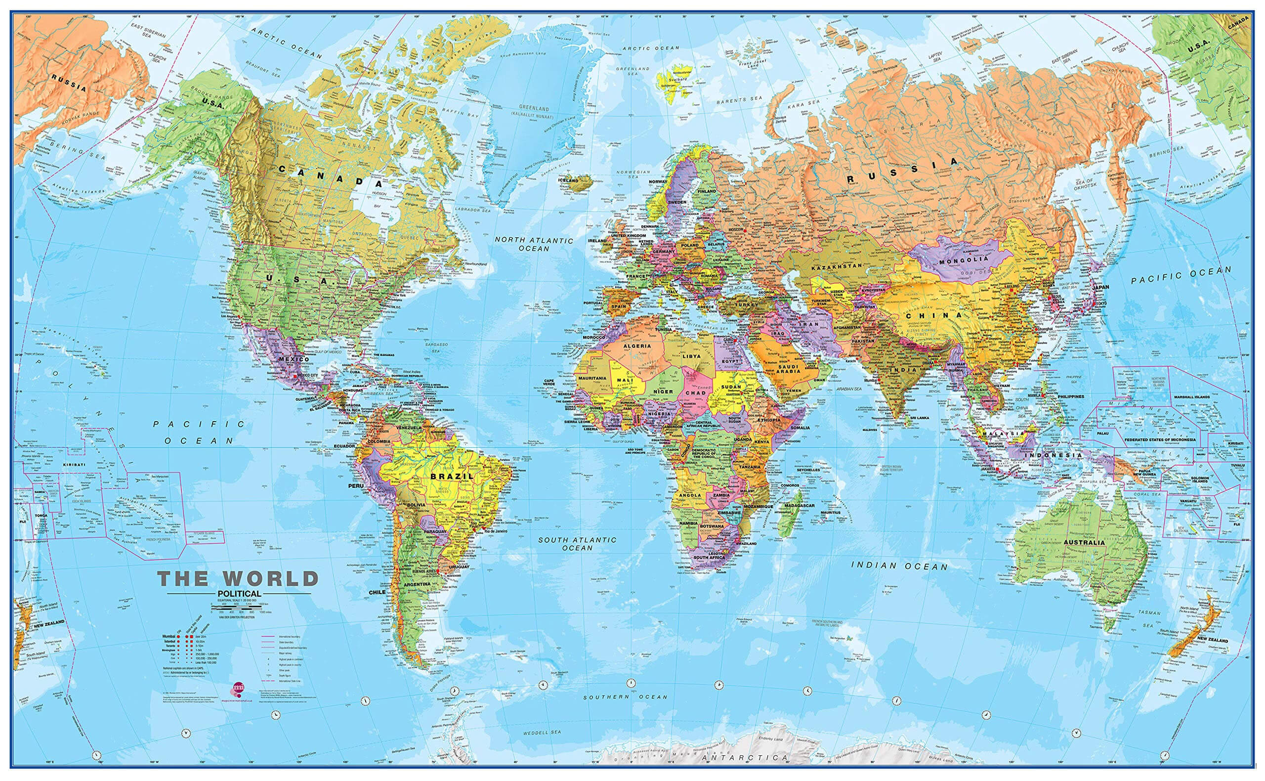
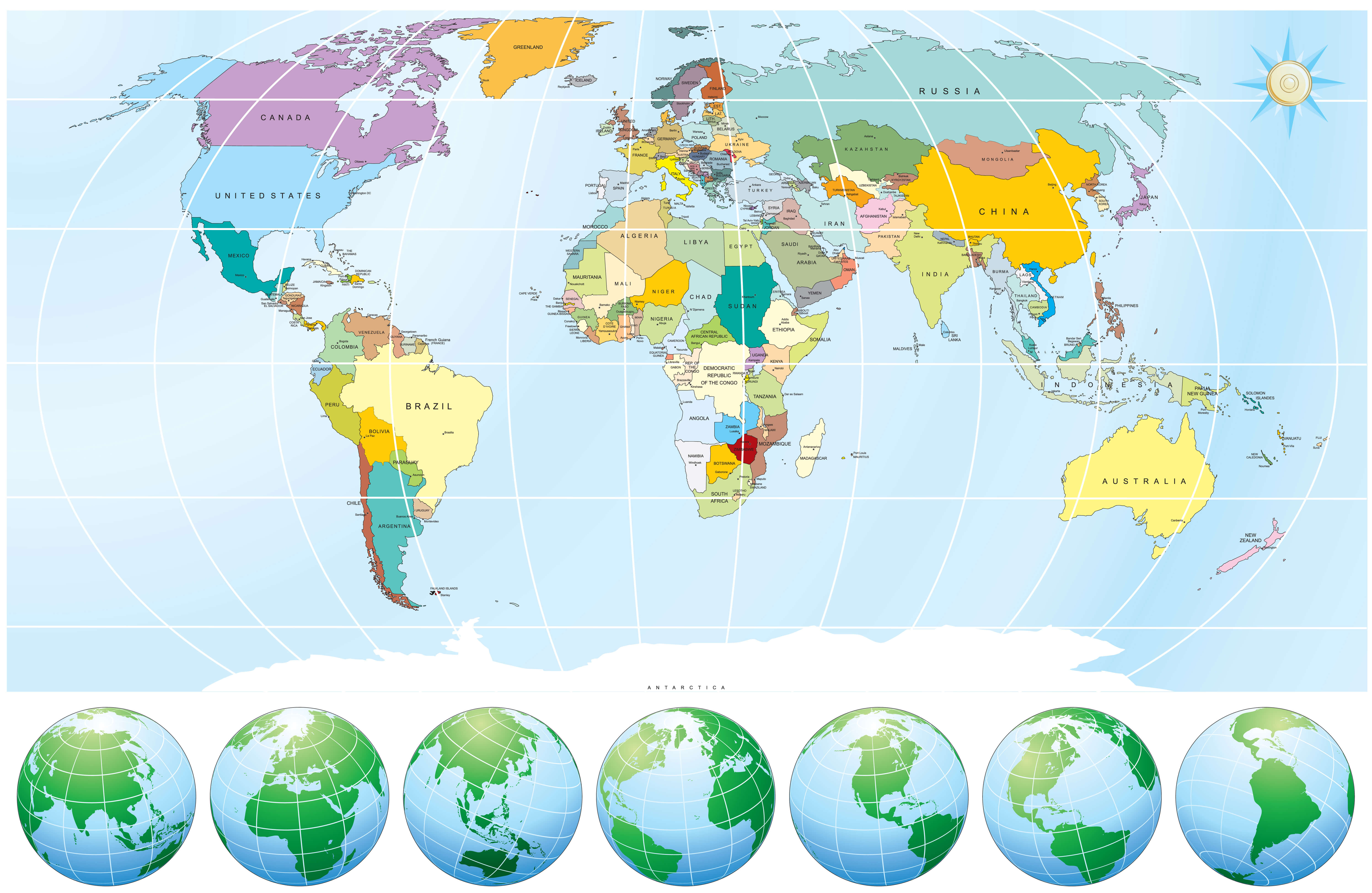
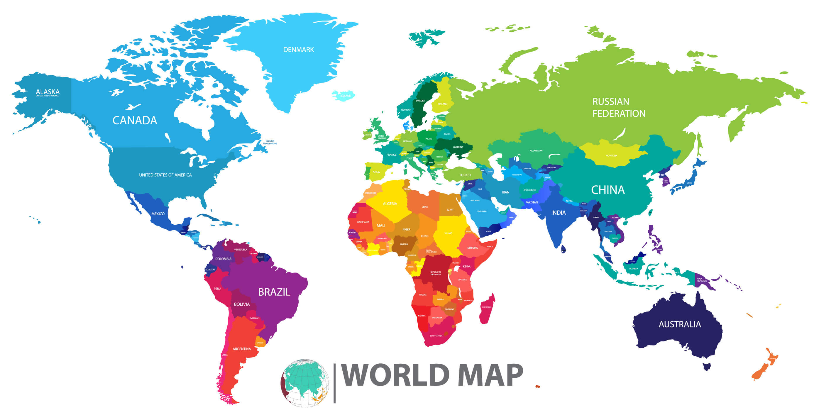
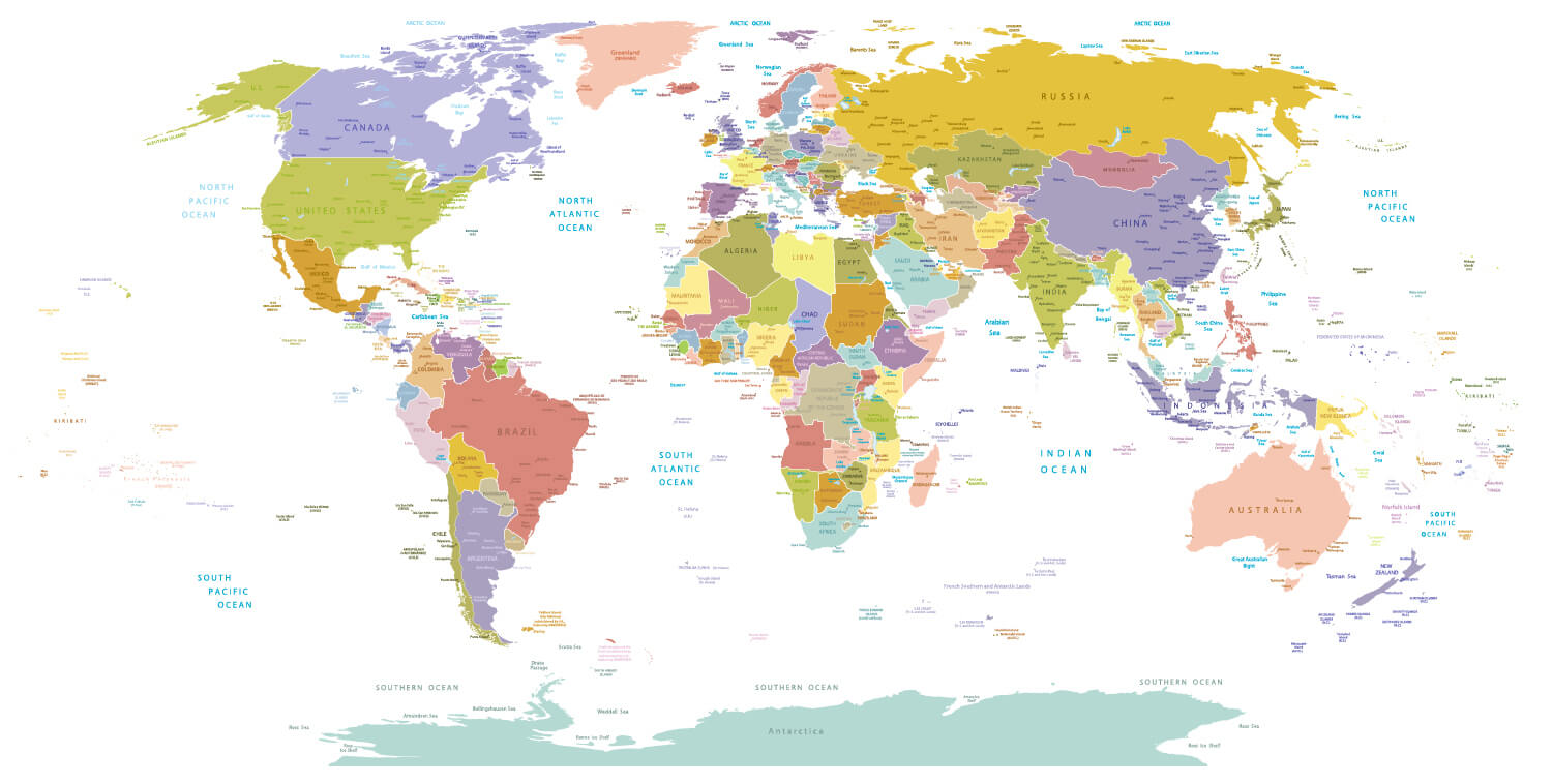
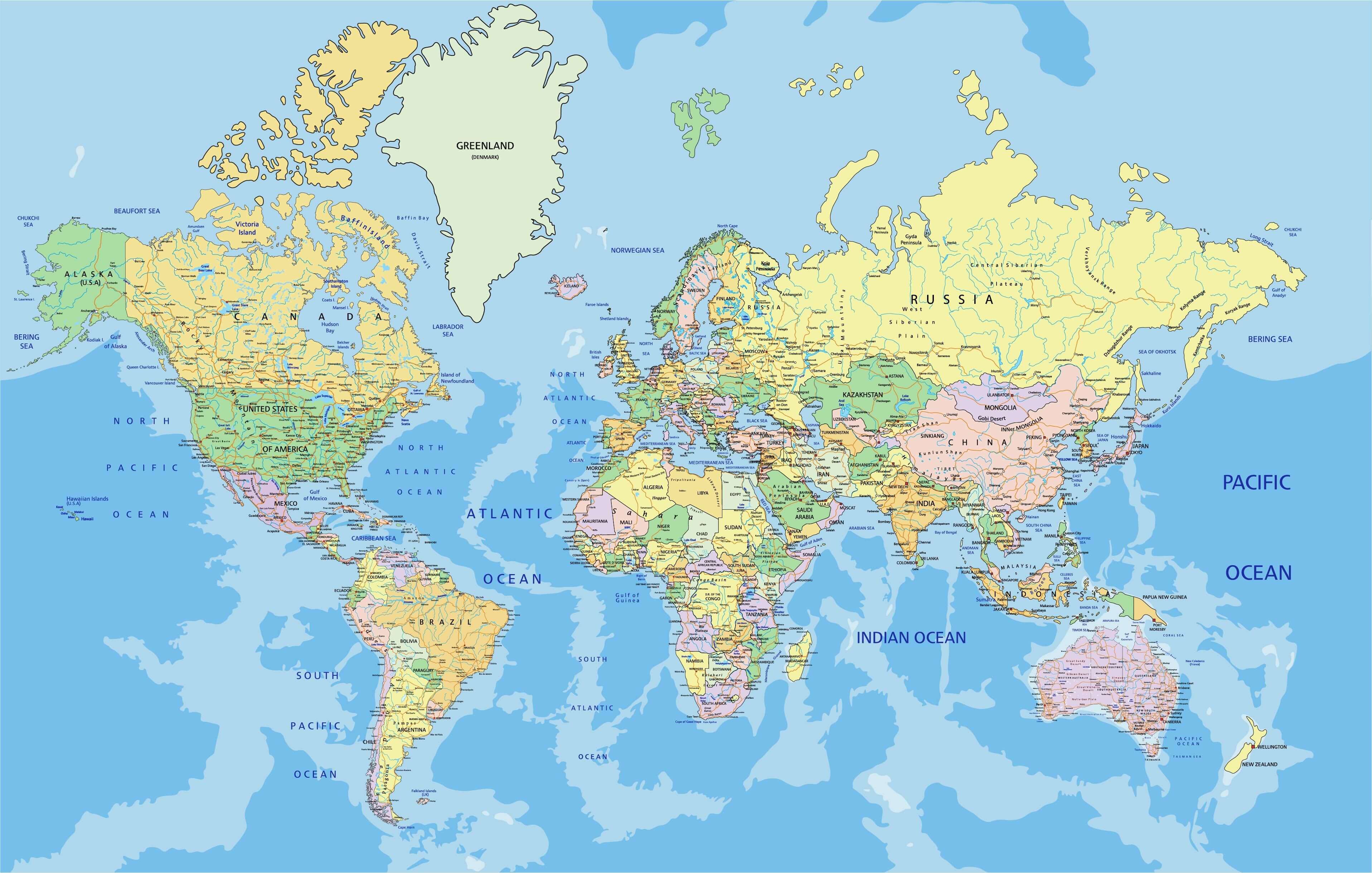
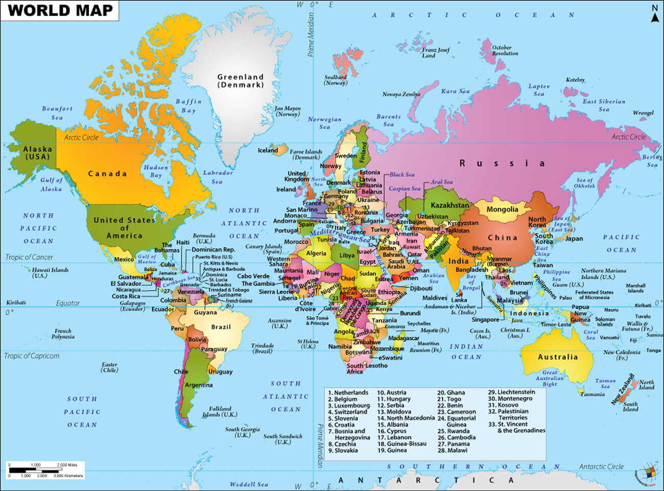
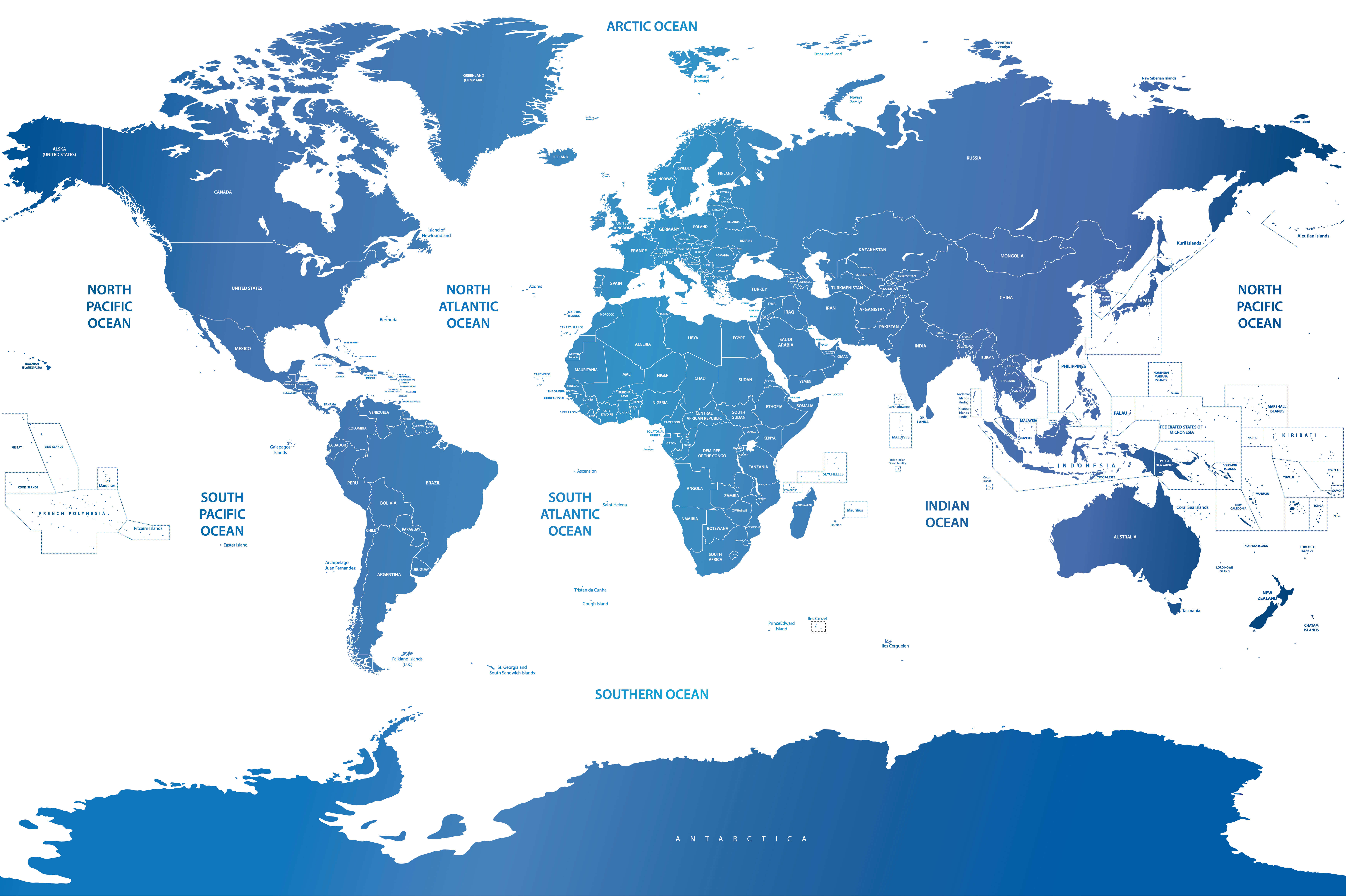
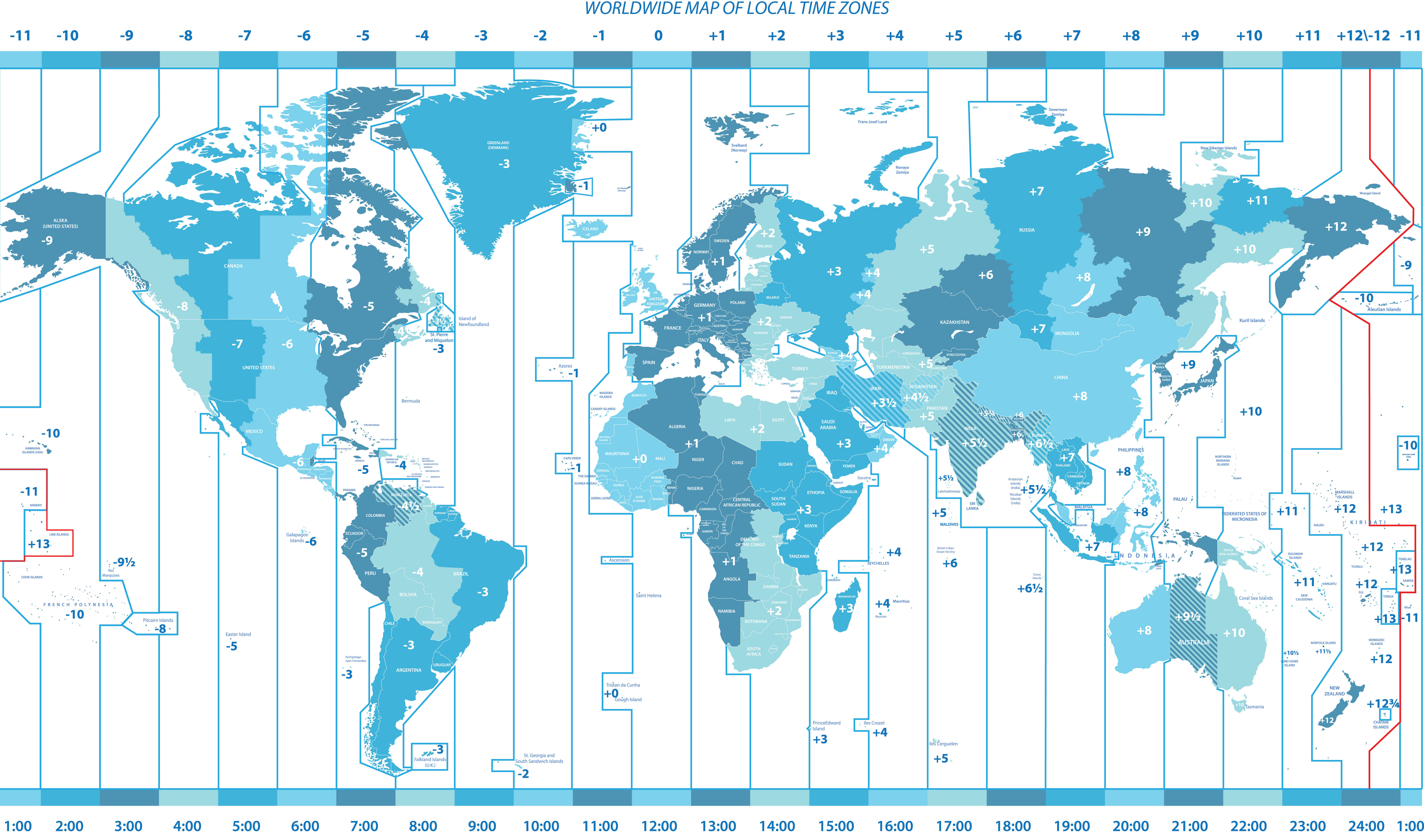
High-Resolution World Political Map provides a detailed view of the world's countries, international boundaries, continents, oceans, national borders, major cities, and capital cities. This political map of the World clearly displays country names and borders, making it easy to understand the political geography and territorial organization of nations across the globe. Explore the World political map with countries and continents, compare country boundaries, or use it as a reliable reference for education, geography, travel, and research. The map offers a clear overview of World countries and their political boundaries in a high-resolution format, helping users quickly locate countries, capitals, neighboring nations, and major geographic regions worldwide.