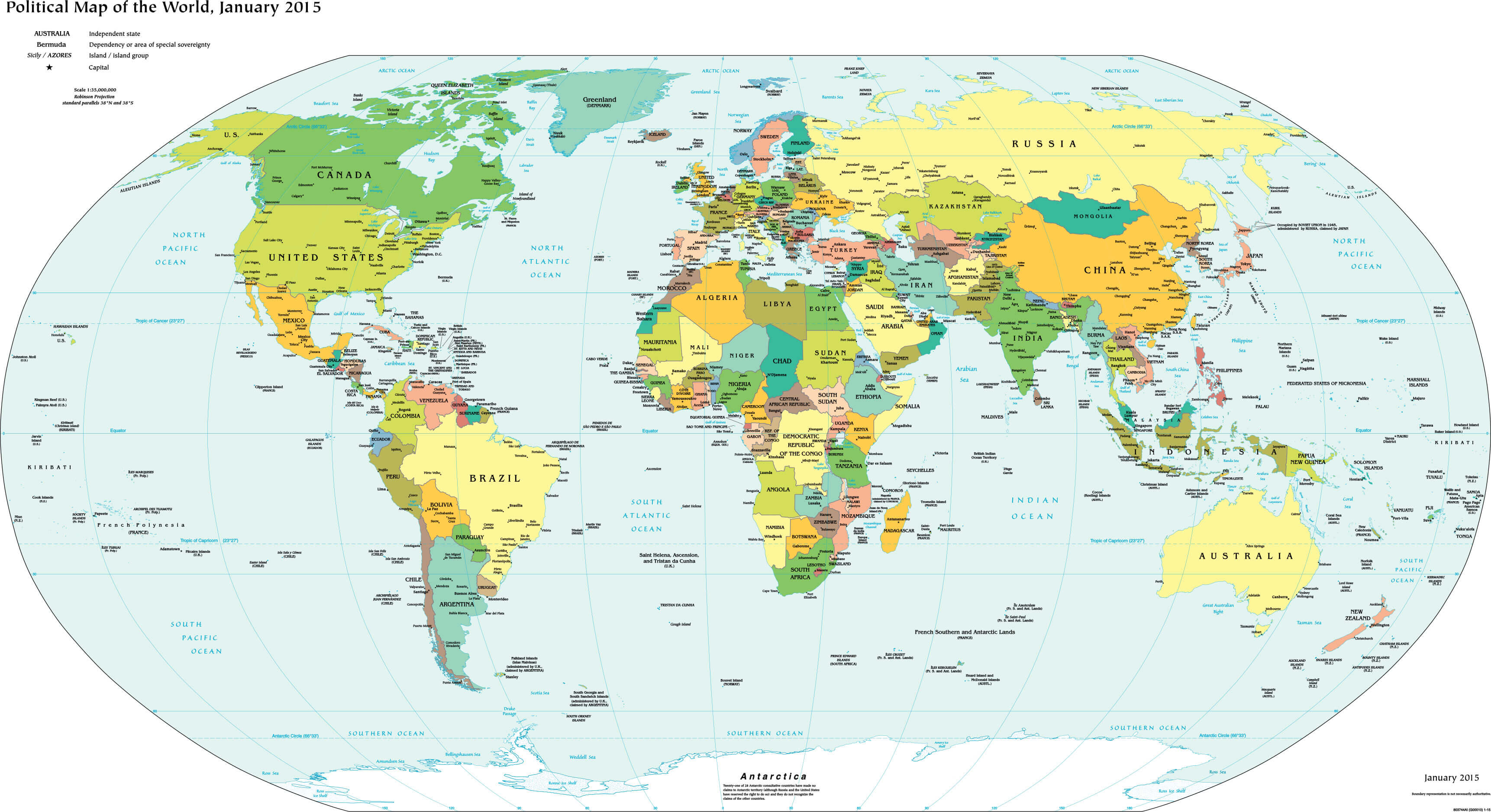
Political Map of the World: Countries, Capitals & International Borders
Discover detailed high-resolution political world maps showcasing countries, national borders, capitals, major cities, continents, oceans, and time zones. Available in multiple languages such as Turkish, Spanish, Russian, and French. Ideal for education, reference, and travel planning. <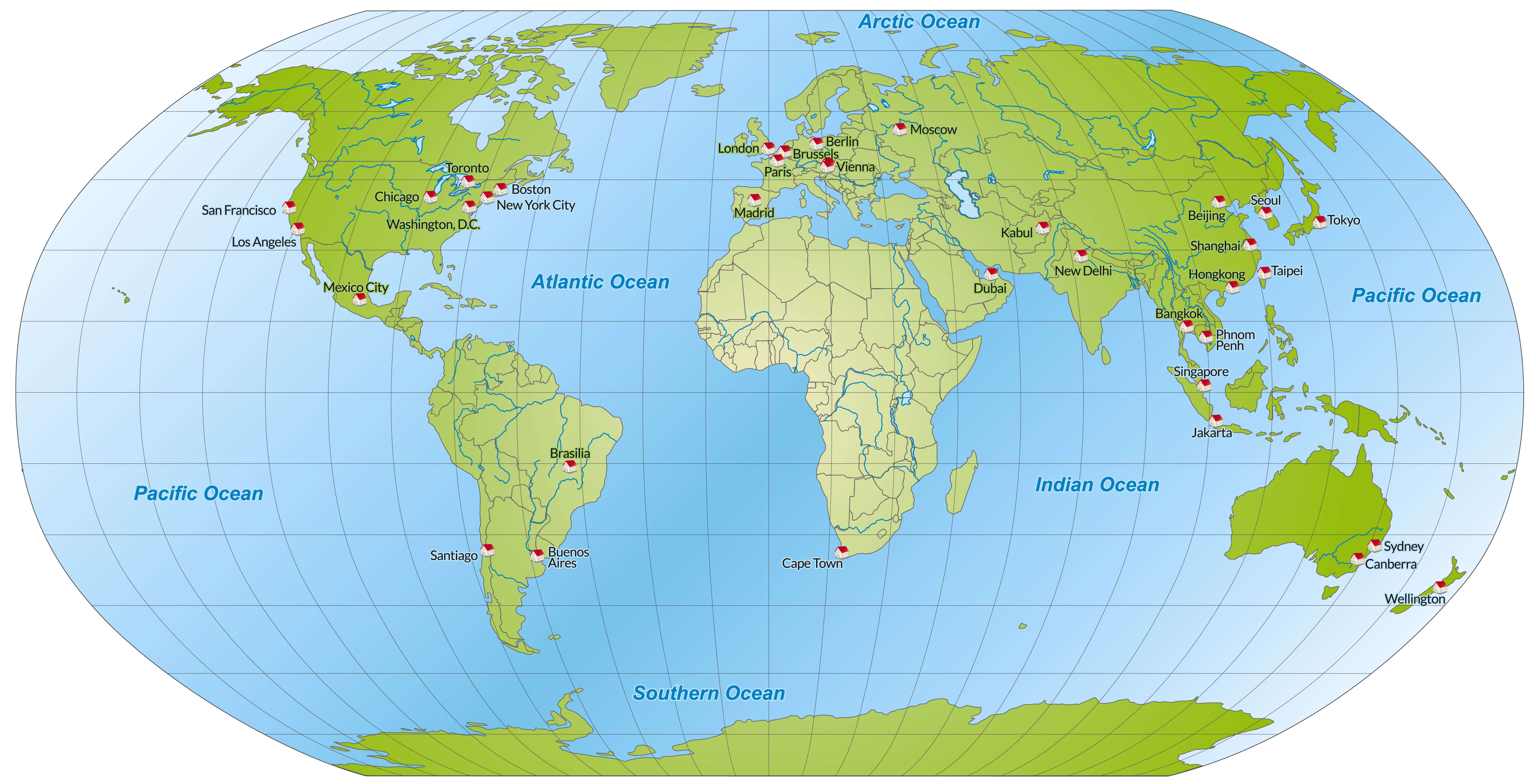
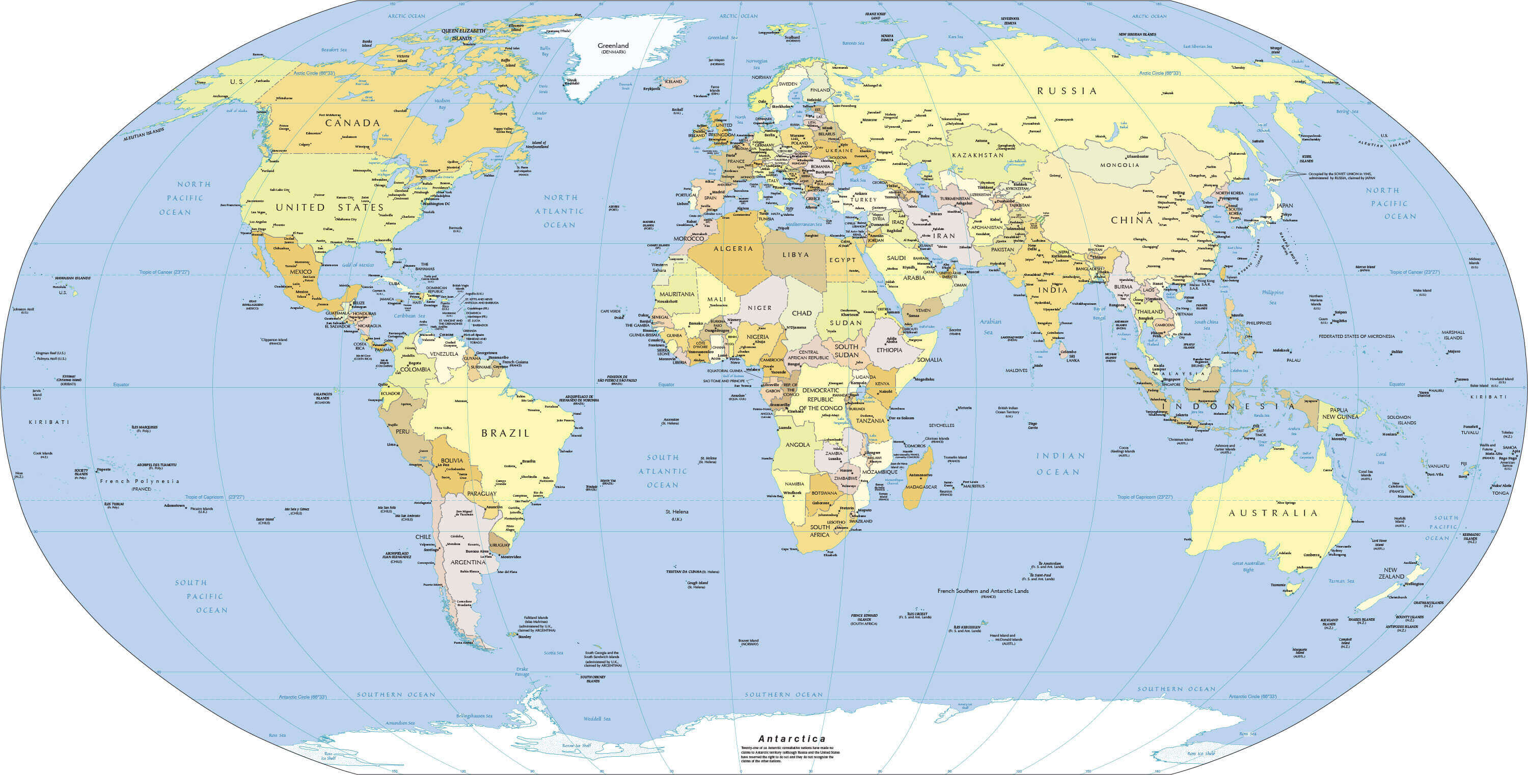
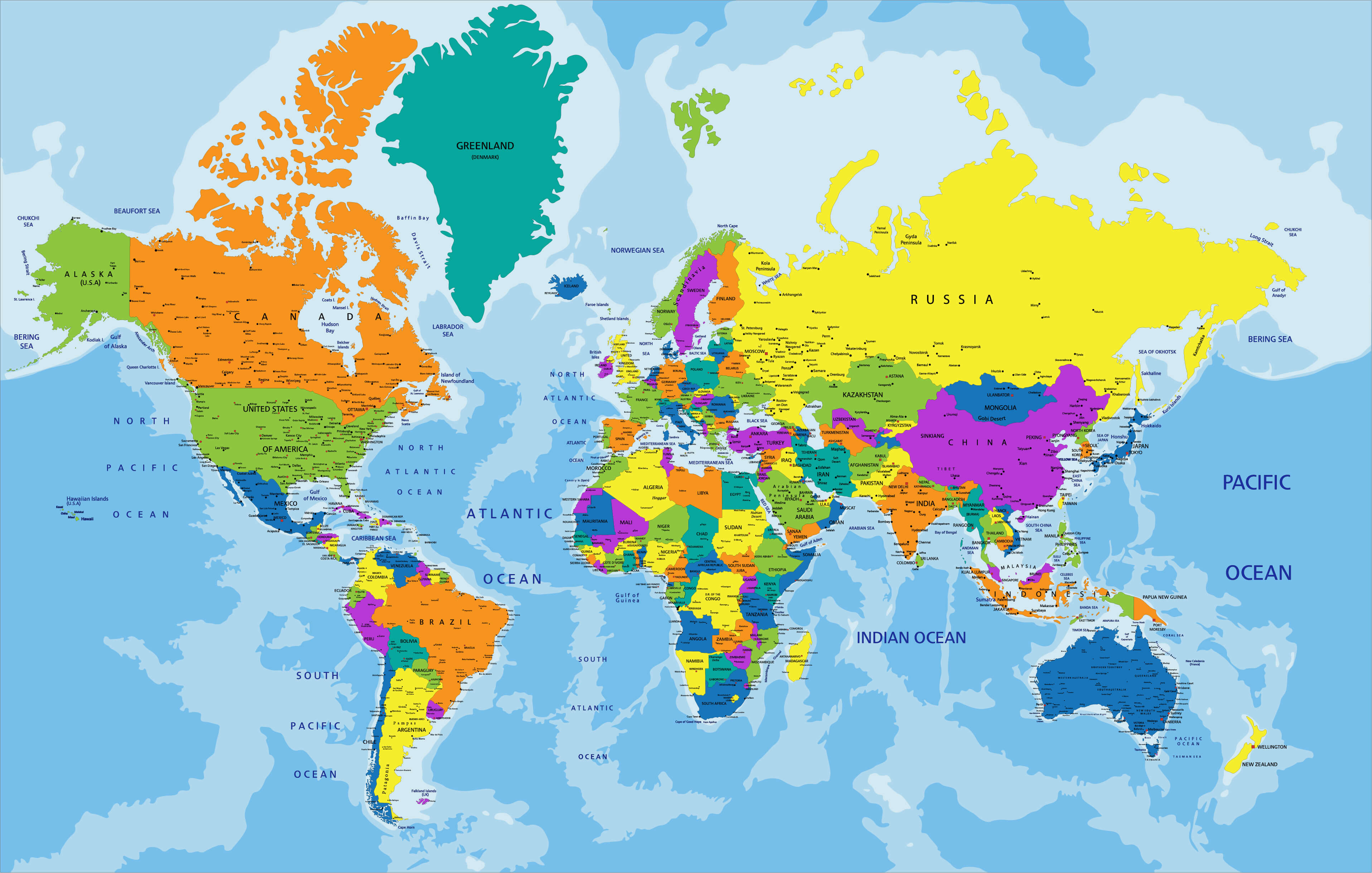
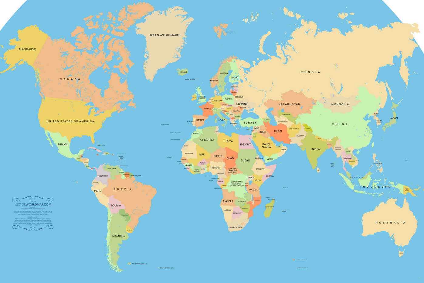
High Resolution World Political Map with Countries and Borders
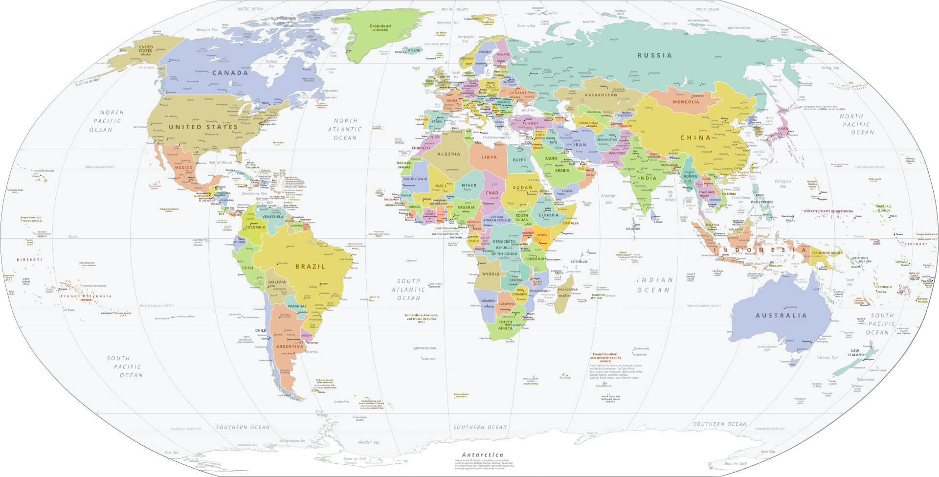
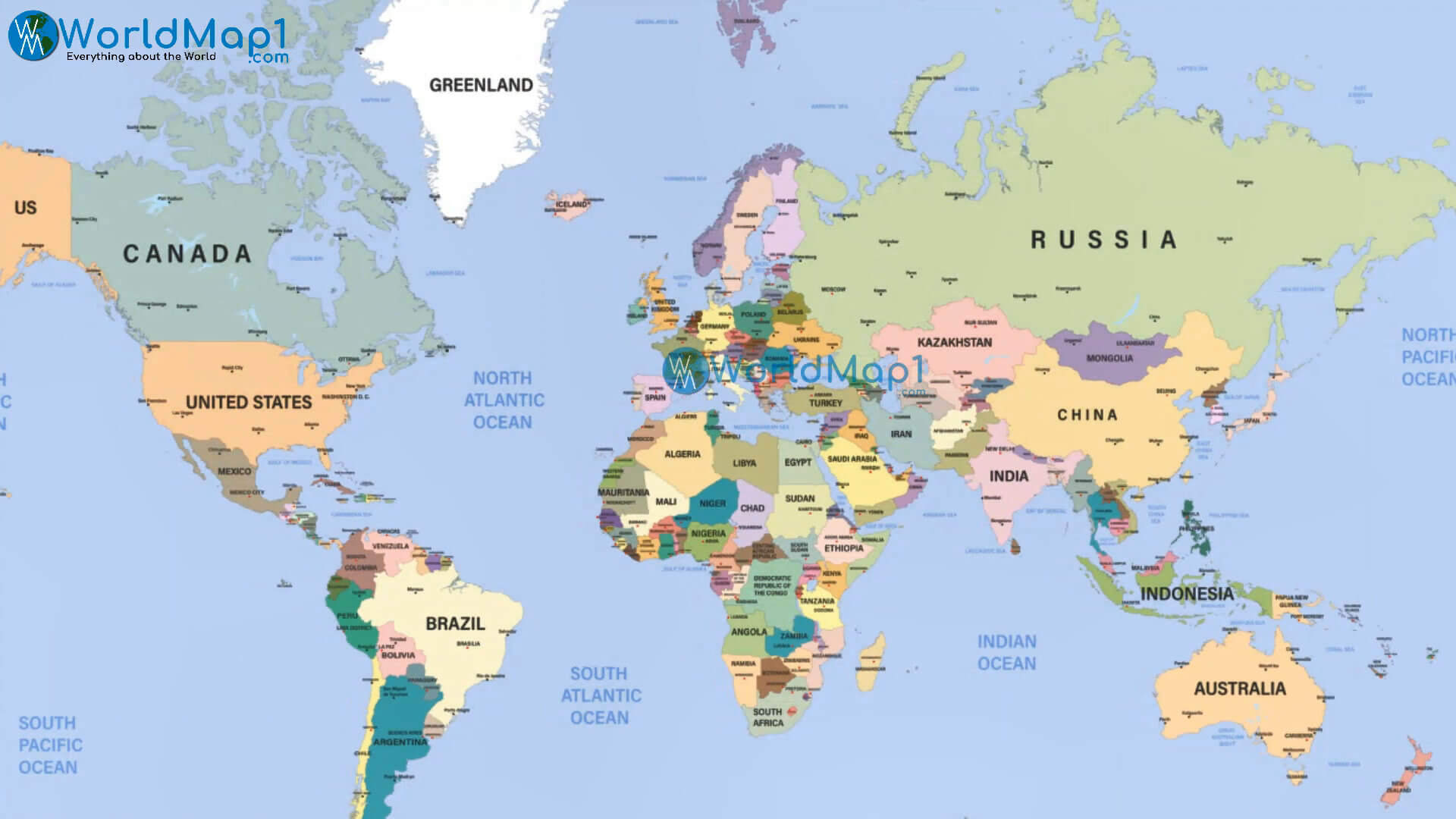
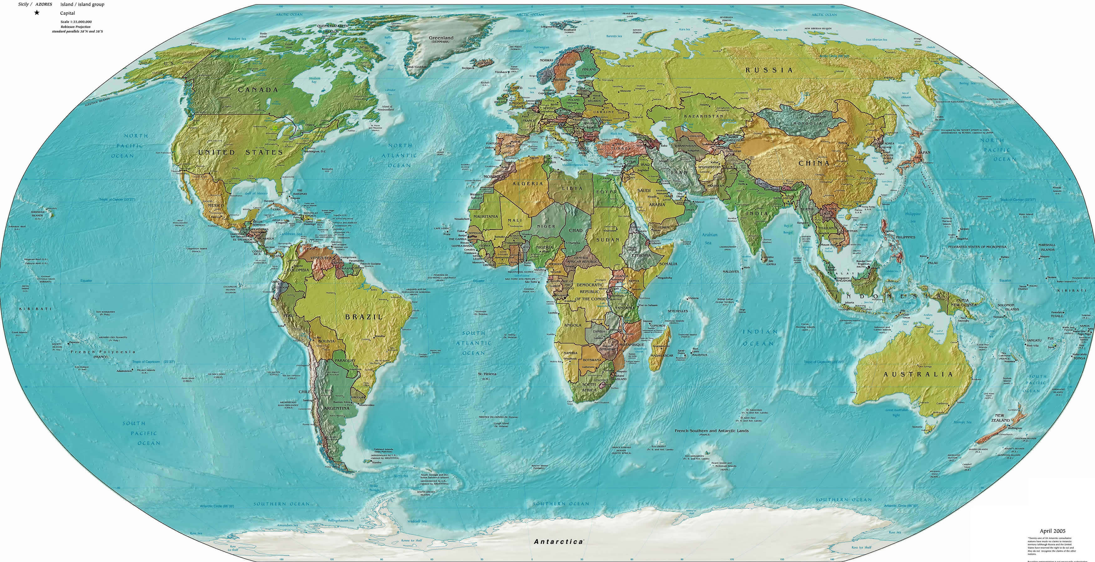
 High resolution political world map with countries, borders and oceans labeled.
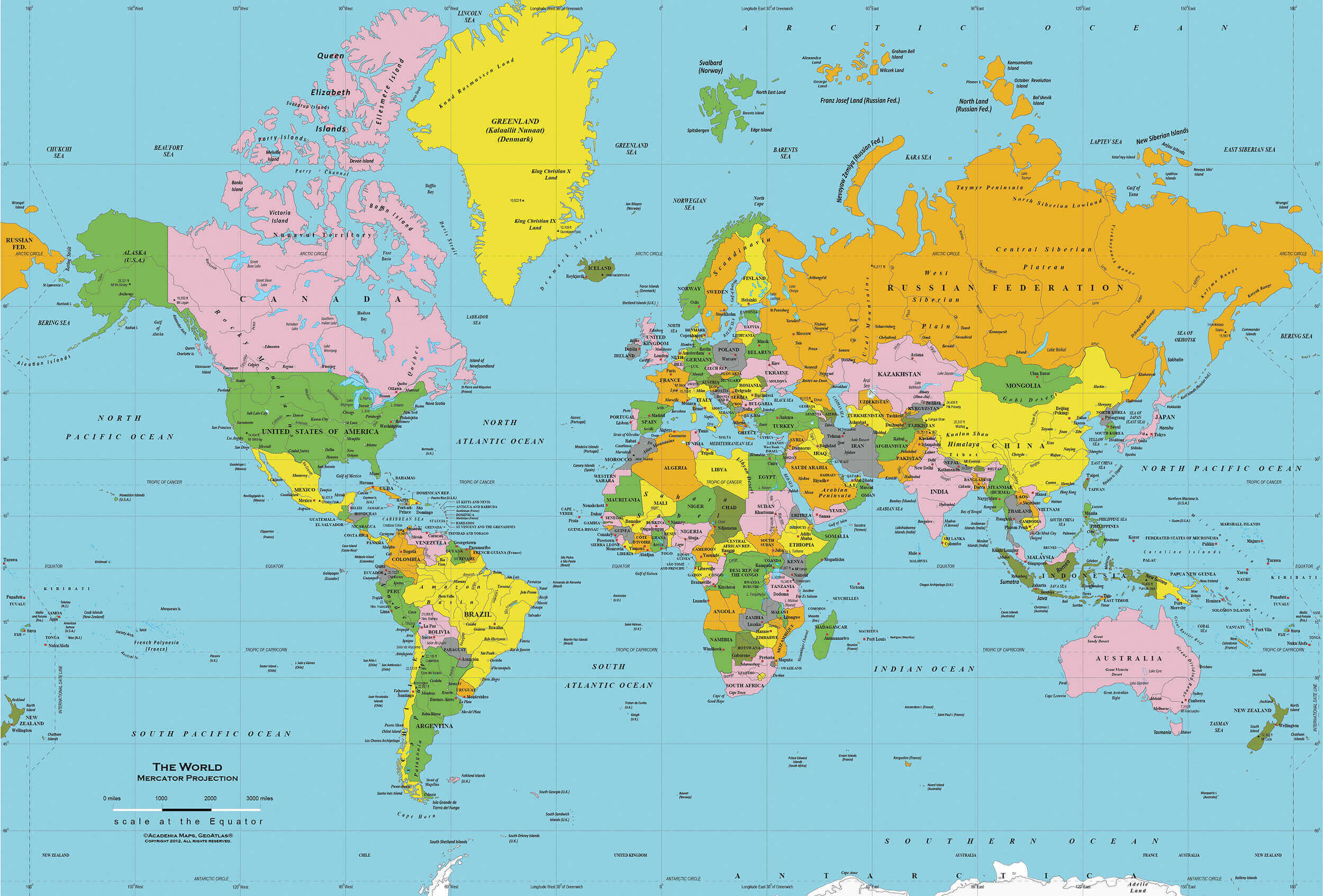
World Political Map with Countries and Capital Cities
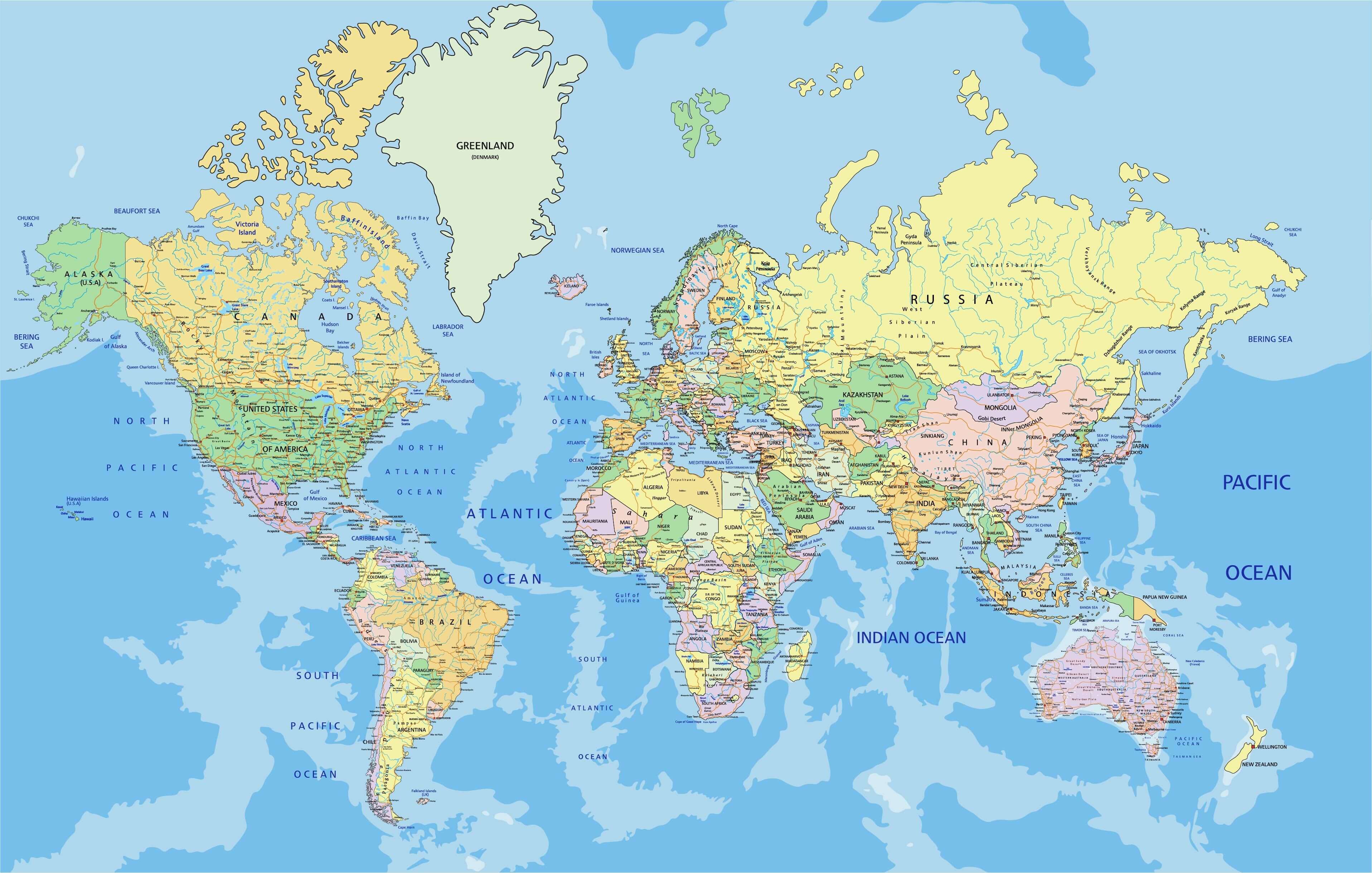
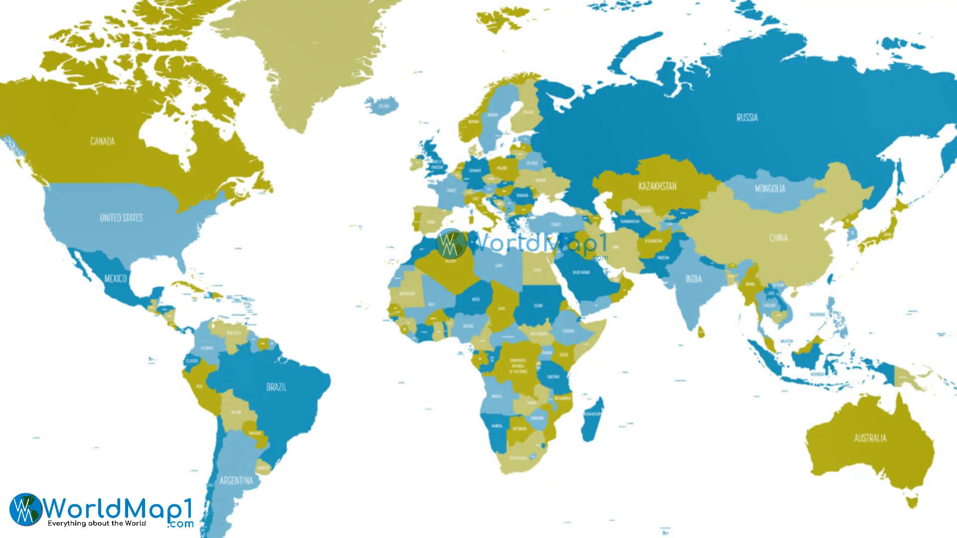
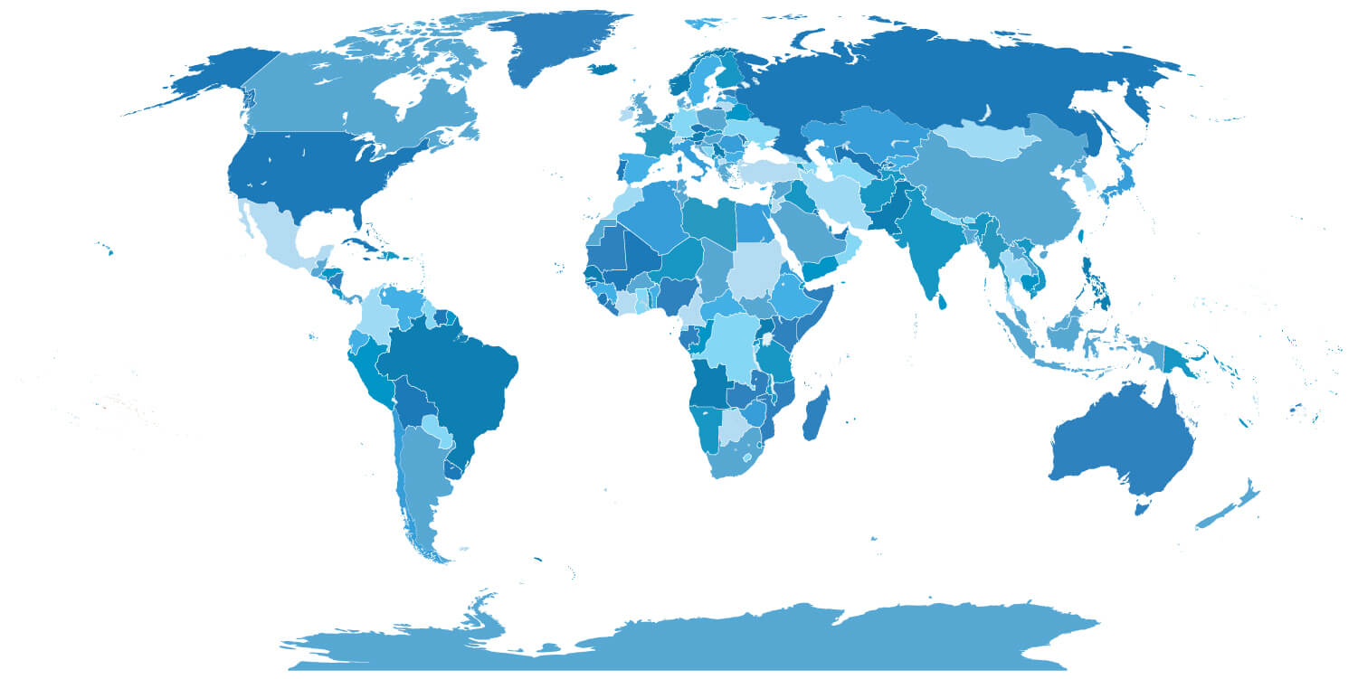
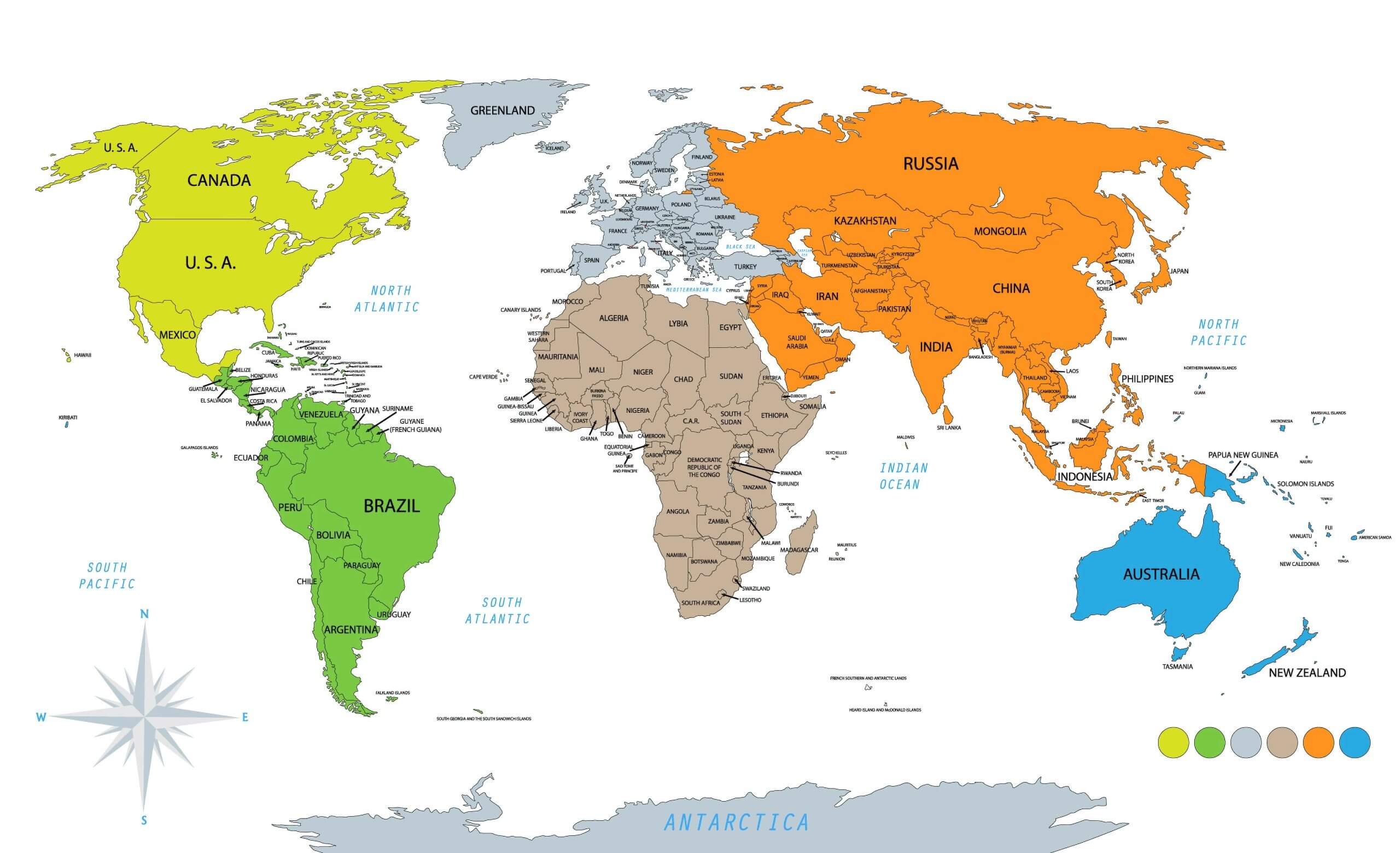
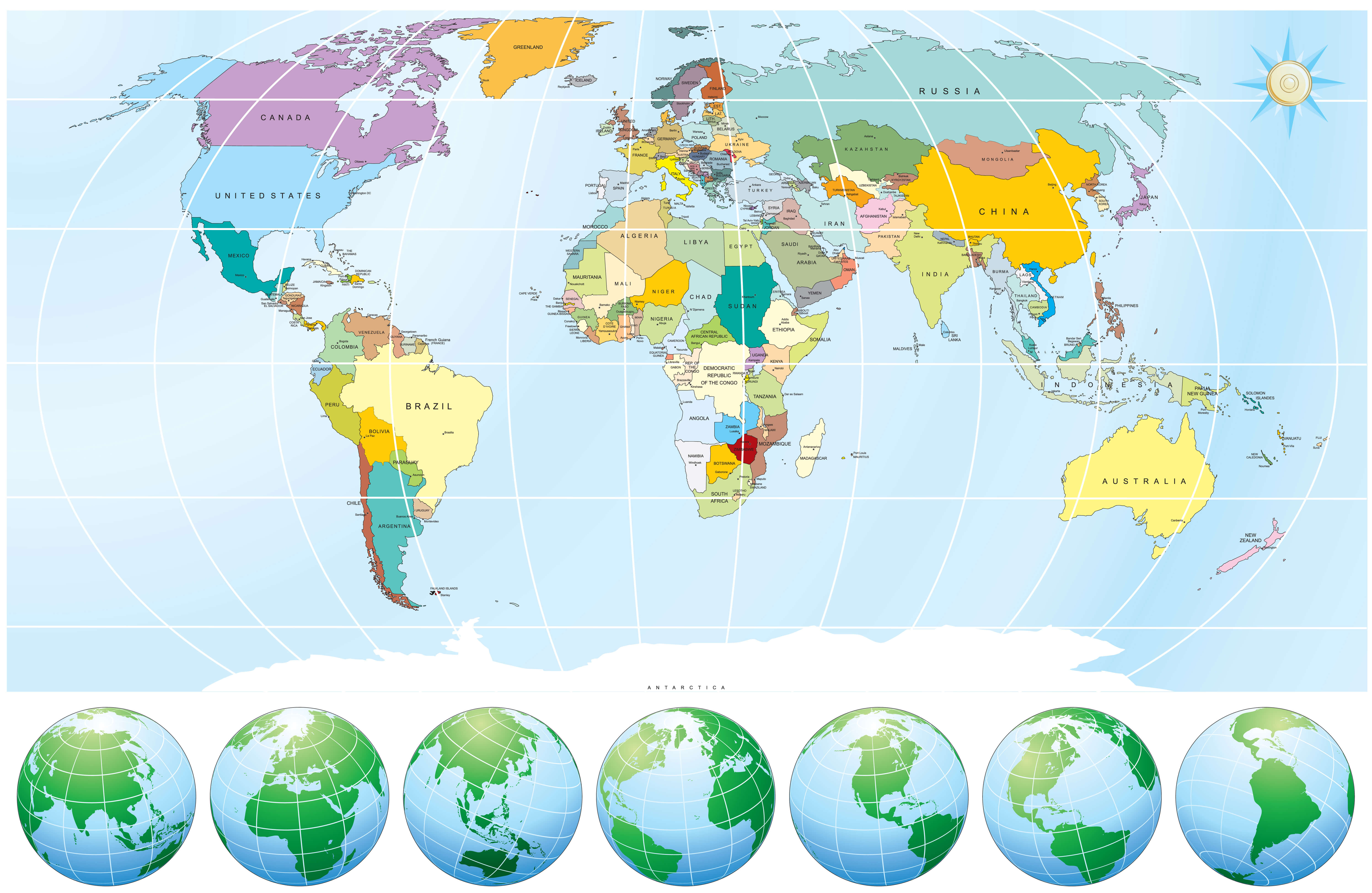
 Colorful world political map showing countries, capitals, and major oceans.
Outline political map of the World countries
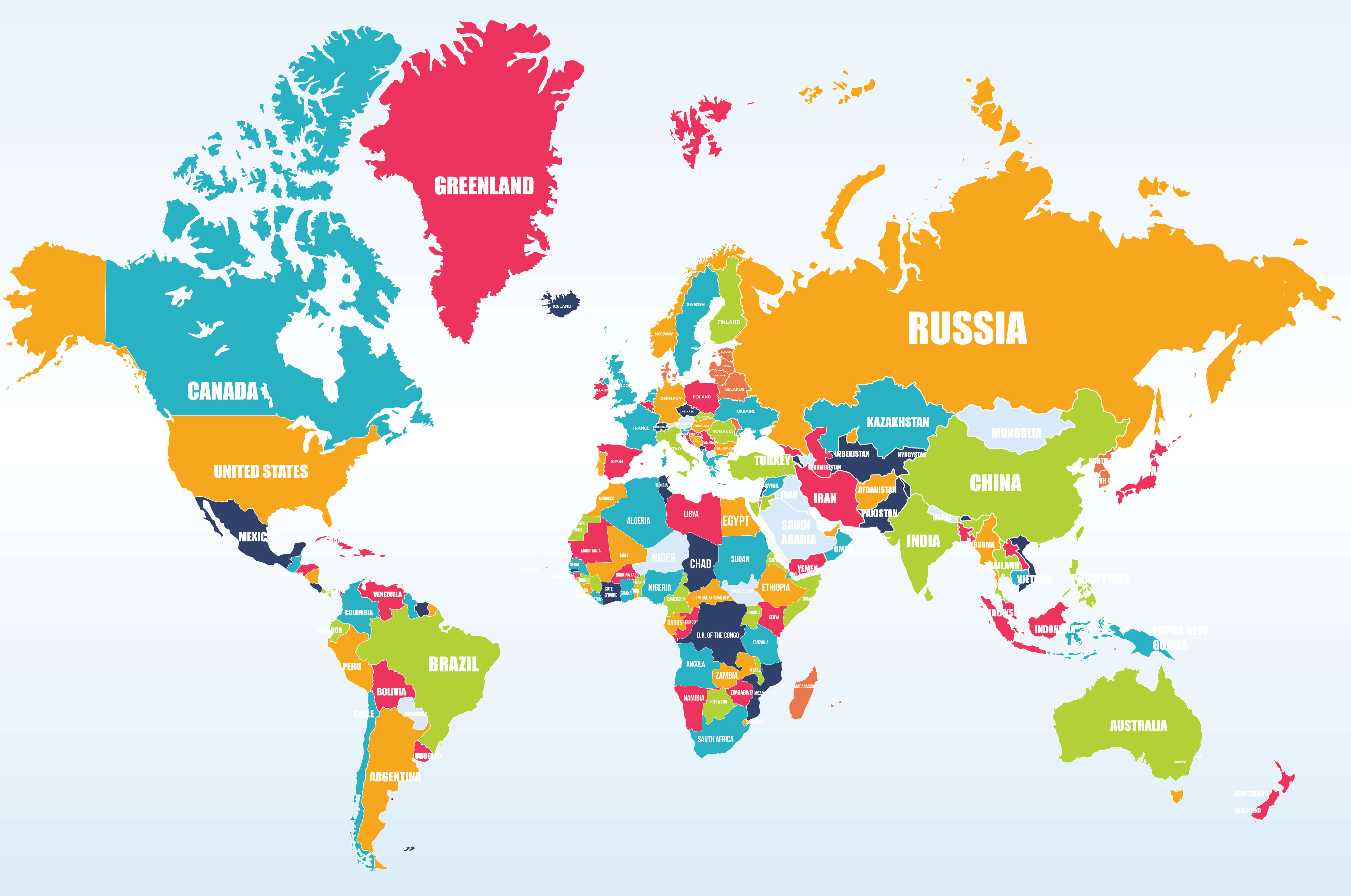
Political map of the World
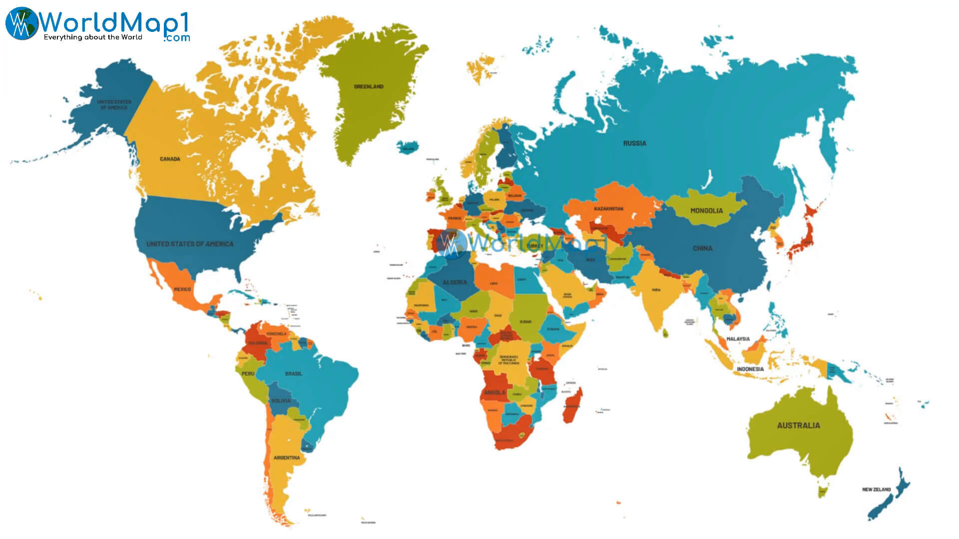
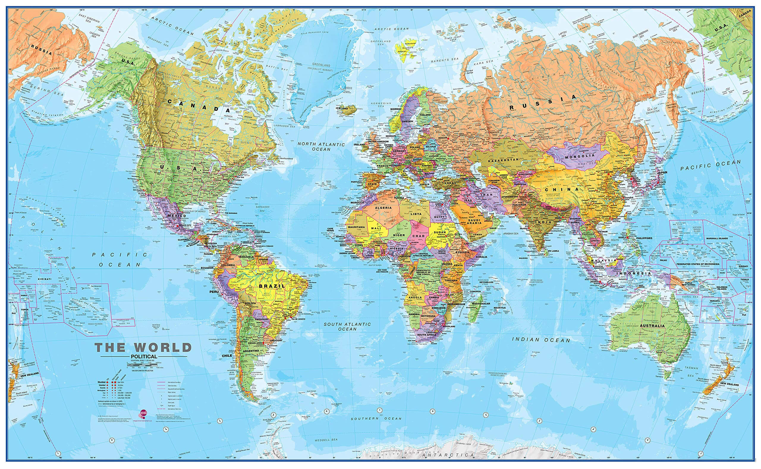
Political map of the World with countries and major cities
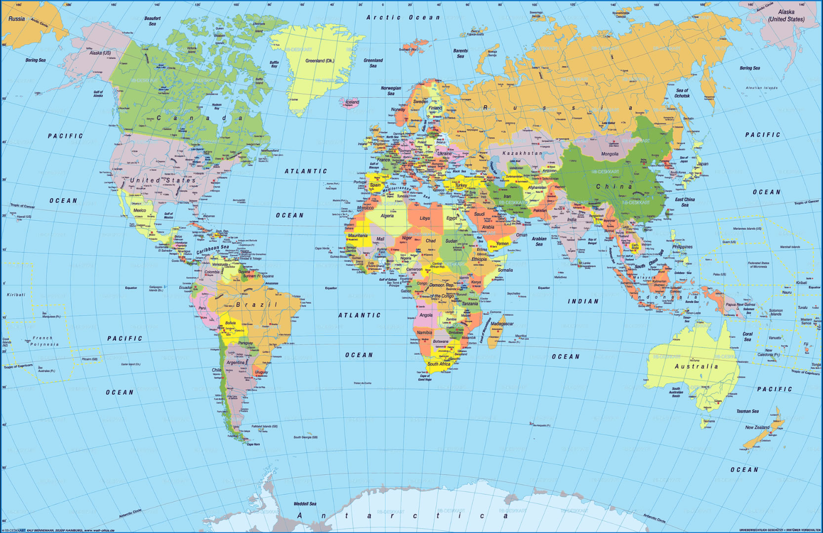
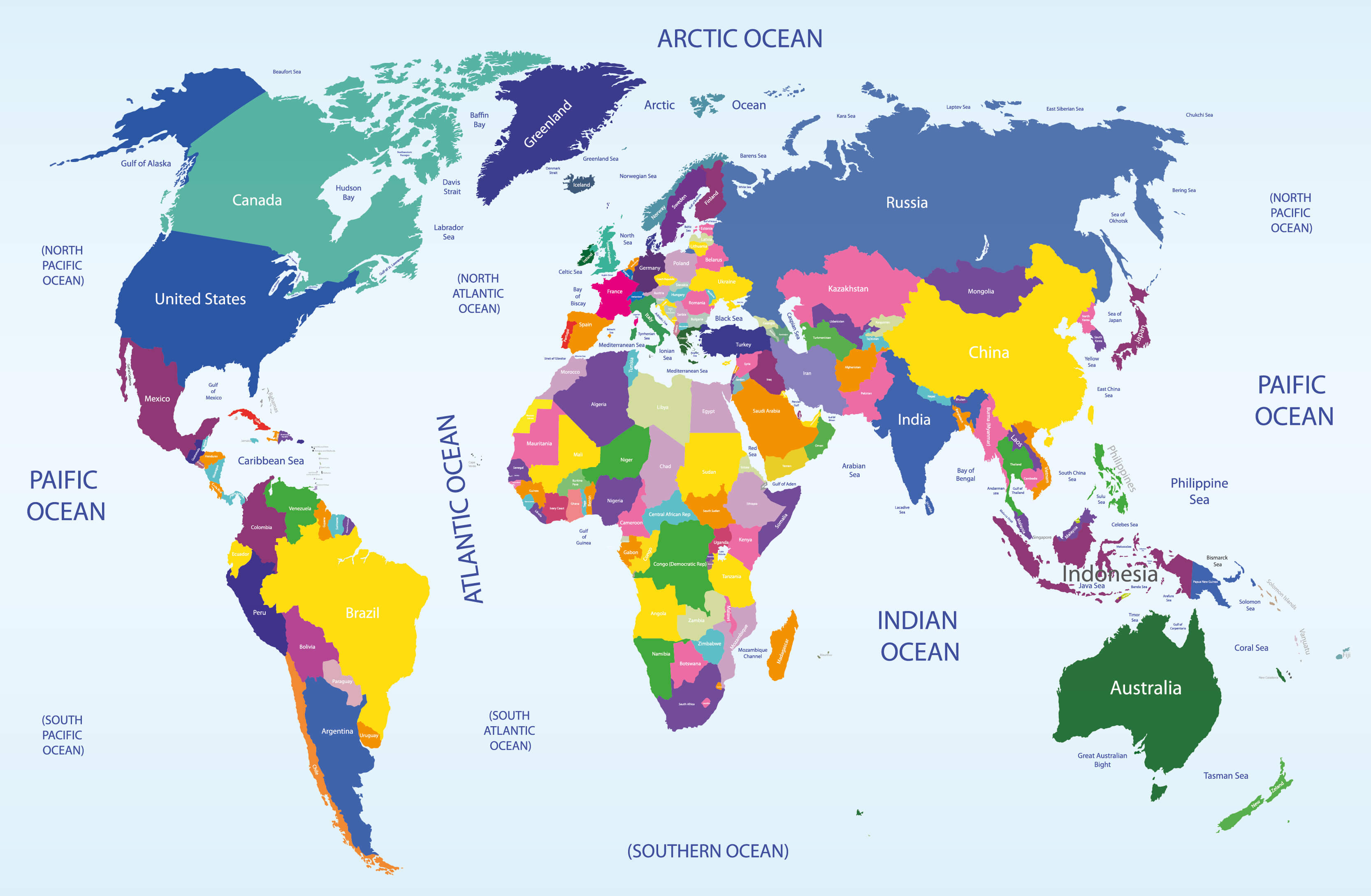
World political map
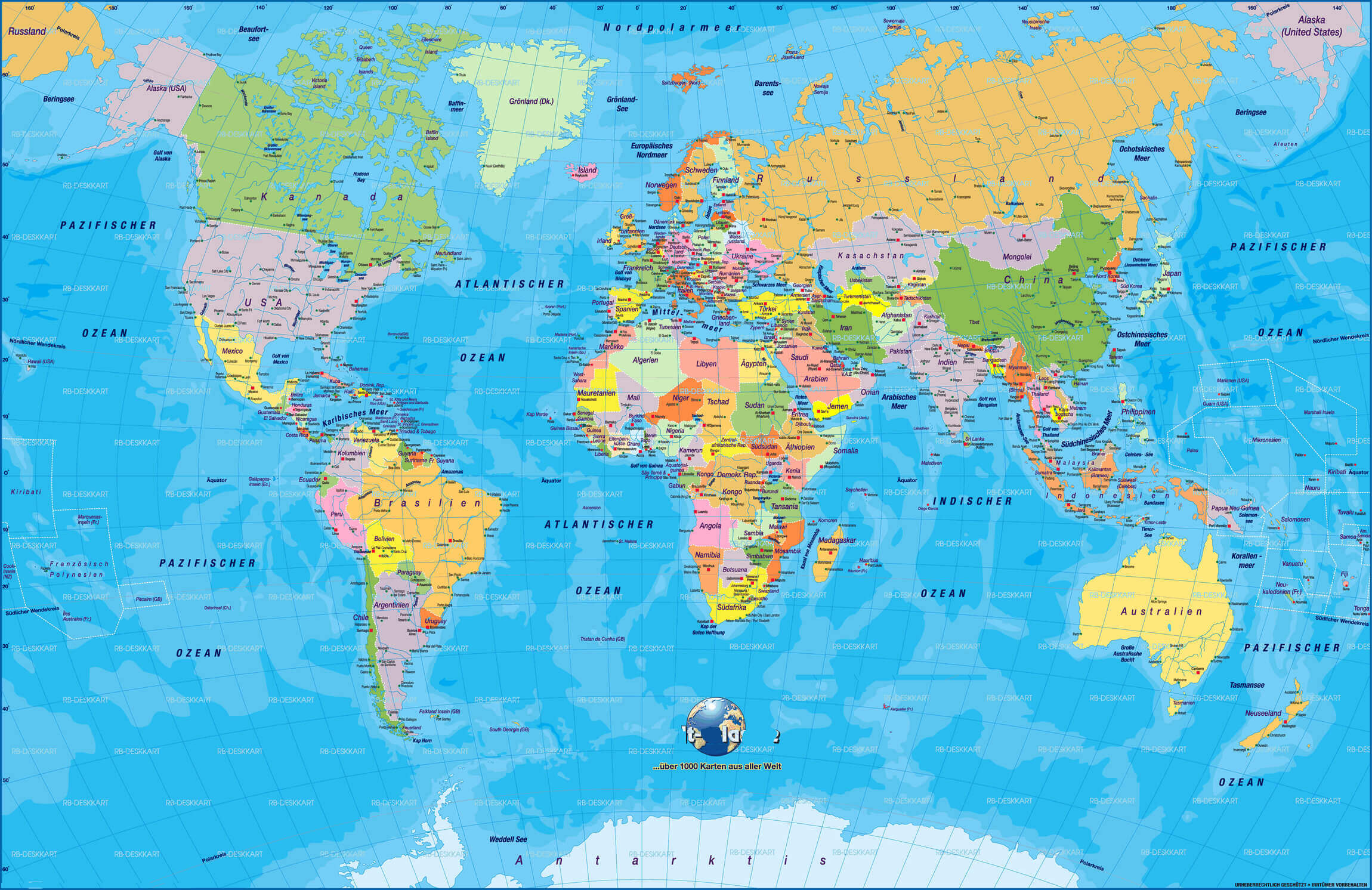
World political map in German
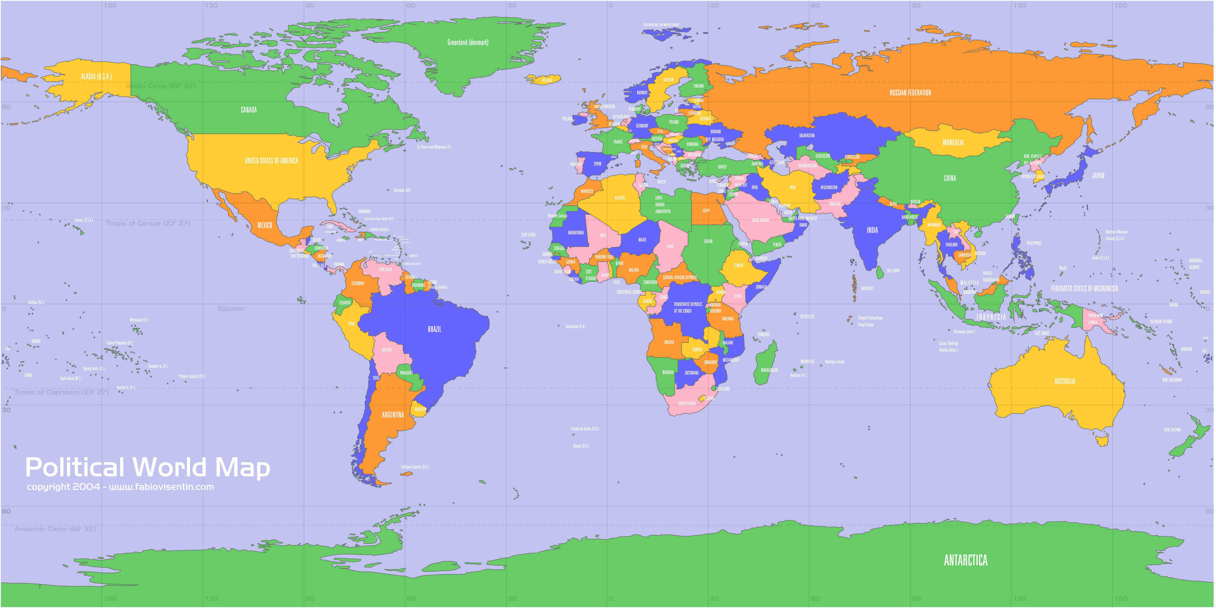
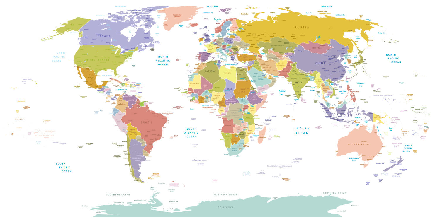
Political map of the World by country and oceans
Political map of the World by country
Political map of the World with country borders
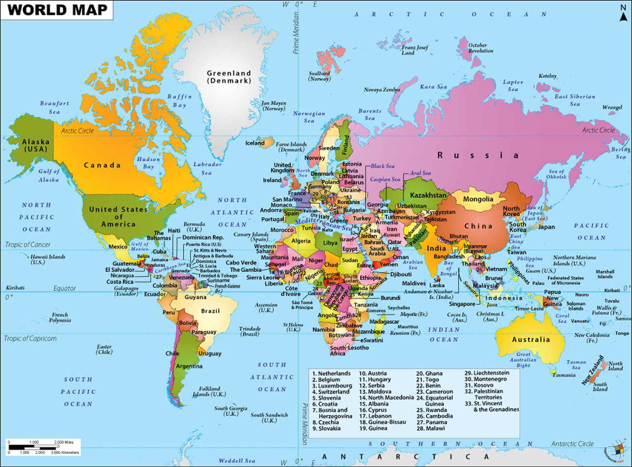
Political map of the World with country names
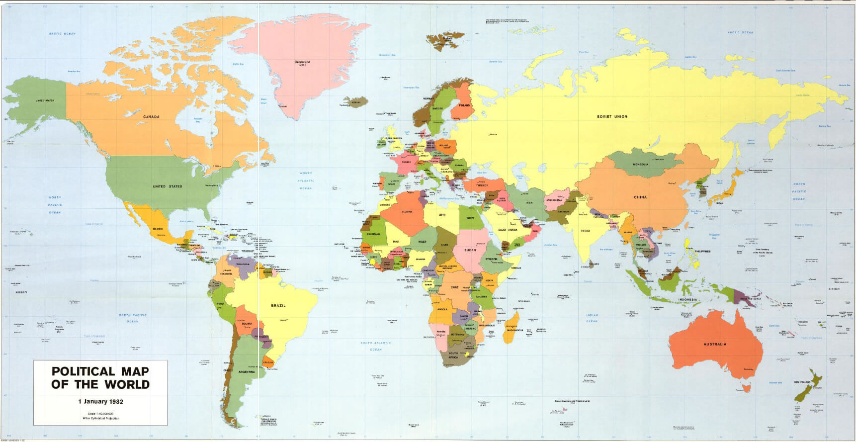
Political map of the World
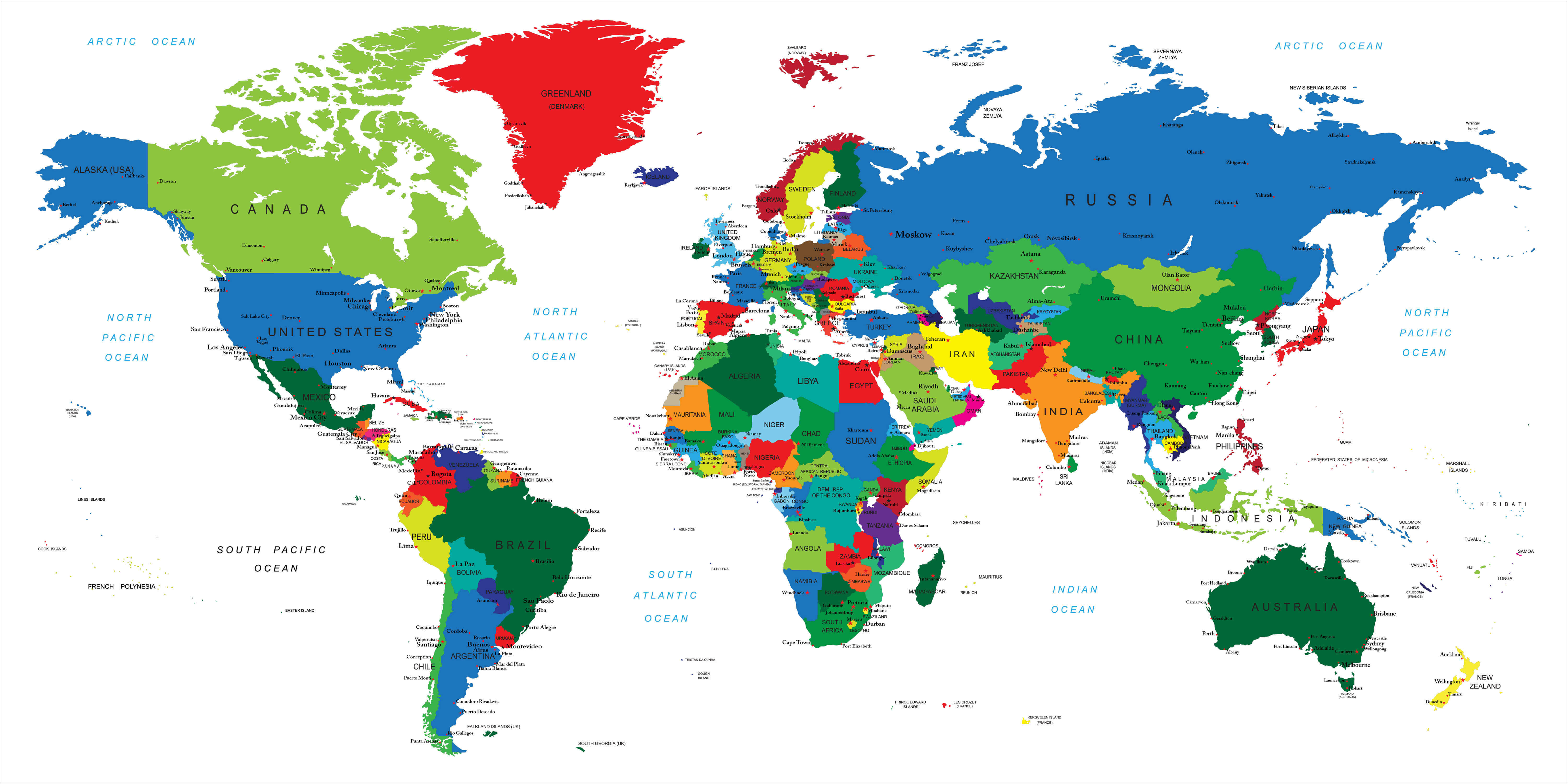
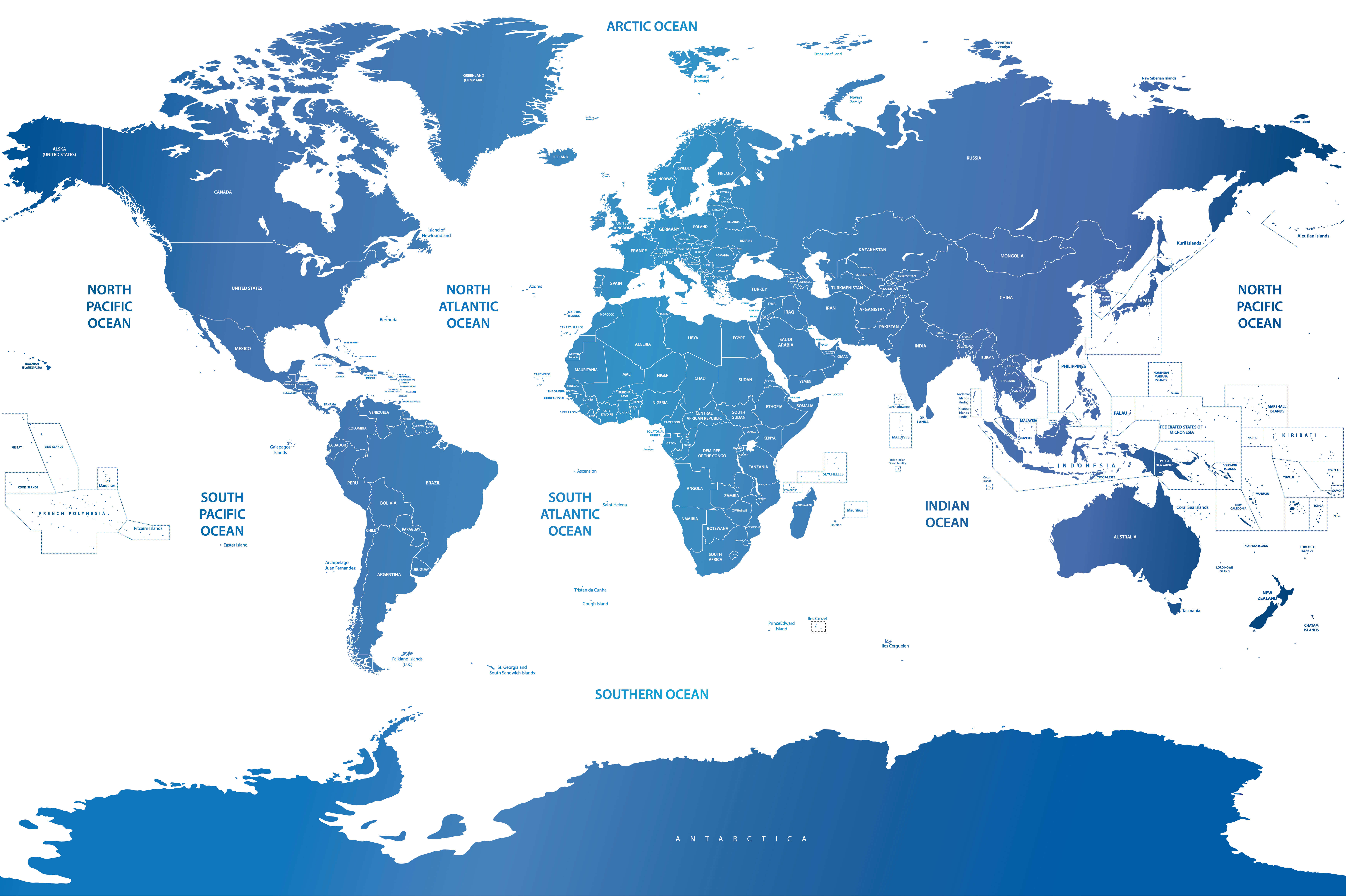
World countries boundary map
World countries international boundaries map
World countries politcal map by country
World countries political map
World county political map
World Globe politics map
World map political
World national and political map
World political blank map
World political map capital cities
World political map countries cities
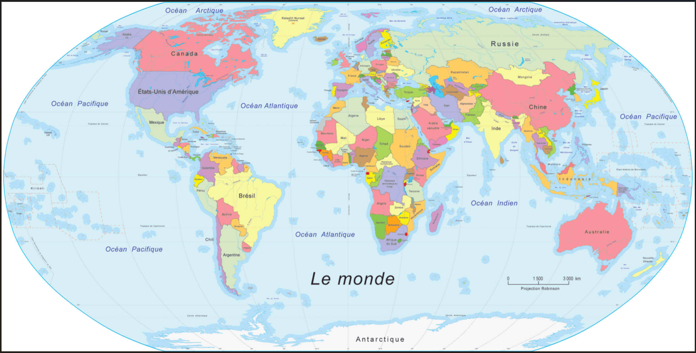
World political map in French
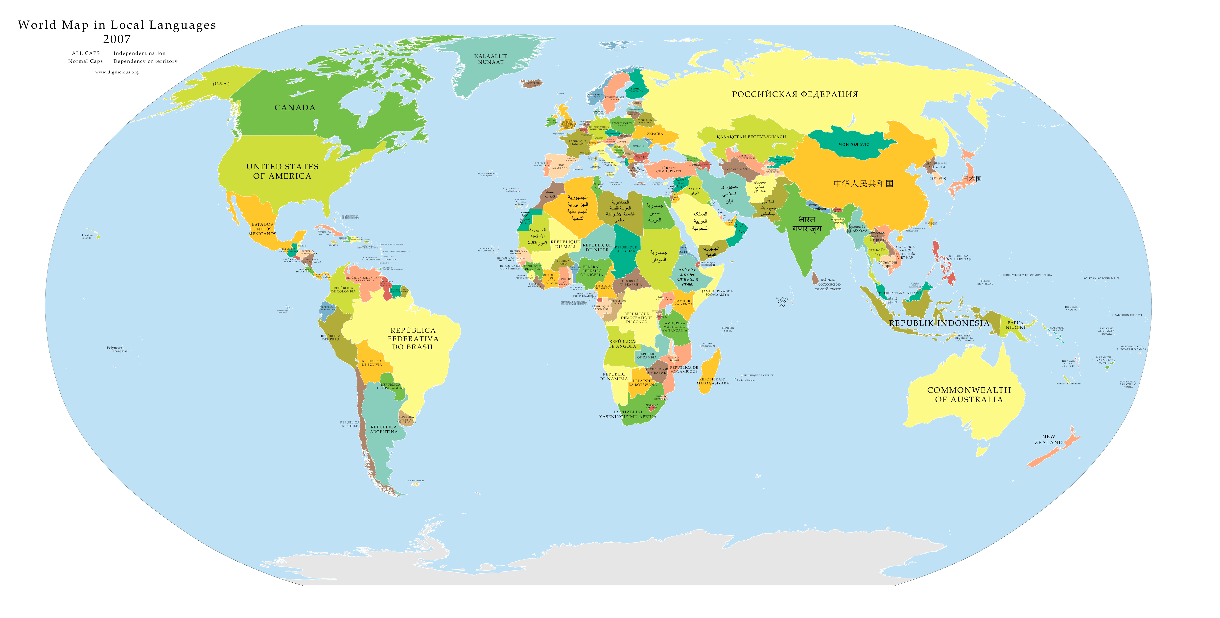
World political map in local languages
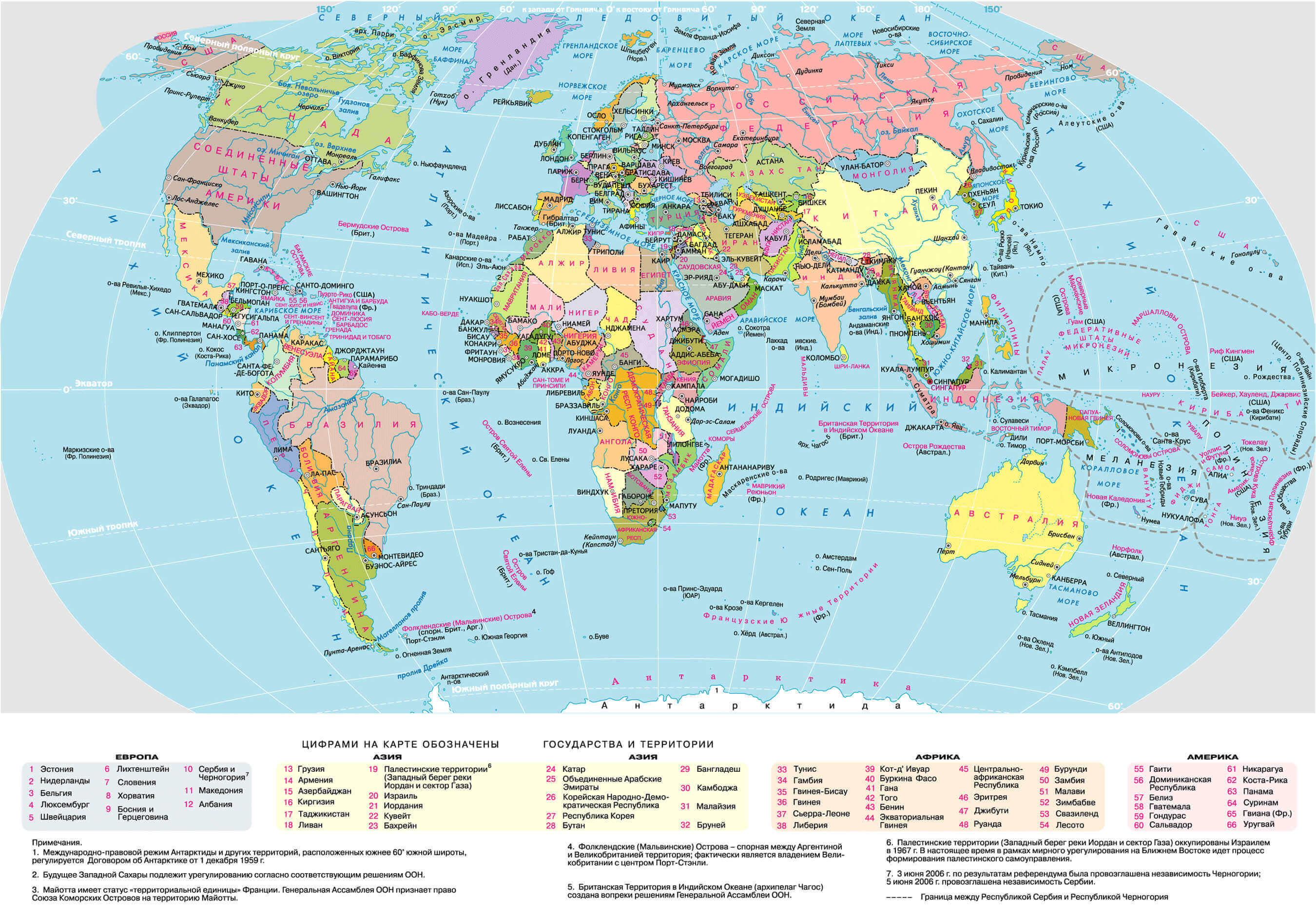
World political map in Russian
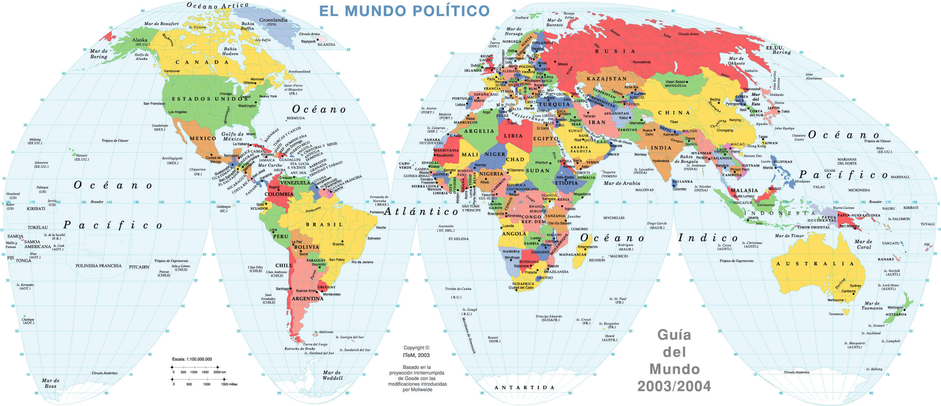
World political map in Spanish
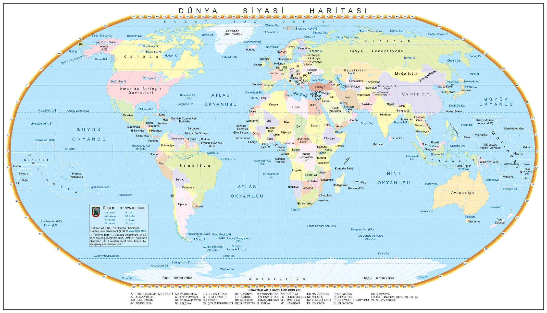
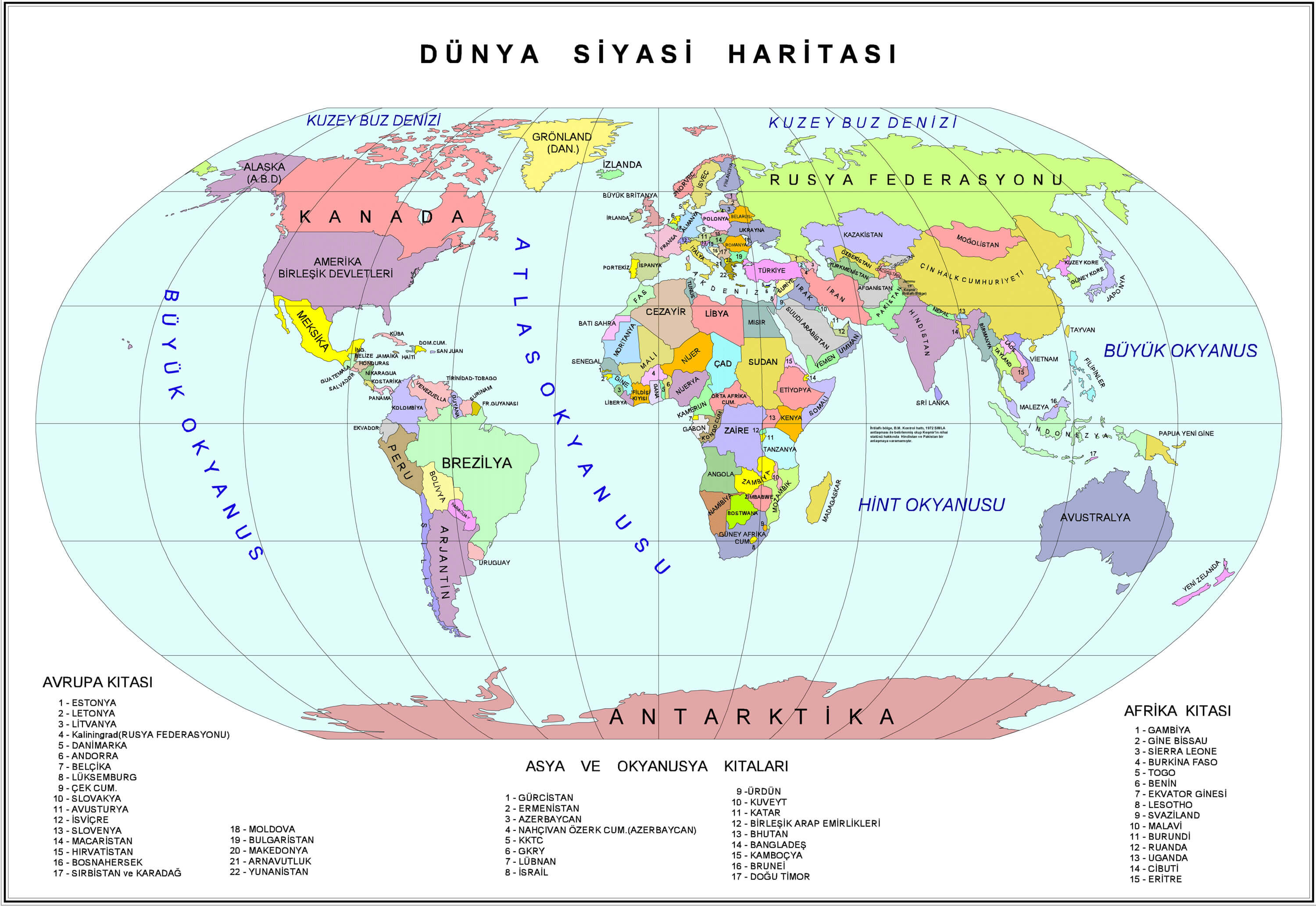
World political map in Turkish
World political map with continents and countries
World political map with countries national borders
World political map with countries
World political map with Europe continent in Turkish
World political map with longitude and latitude
World political map with oceans
World political maps
World politics map with Arctic and Southern Ocean
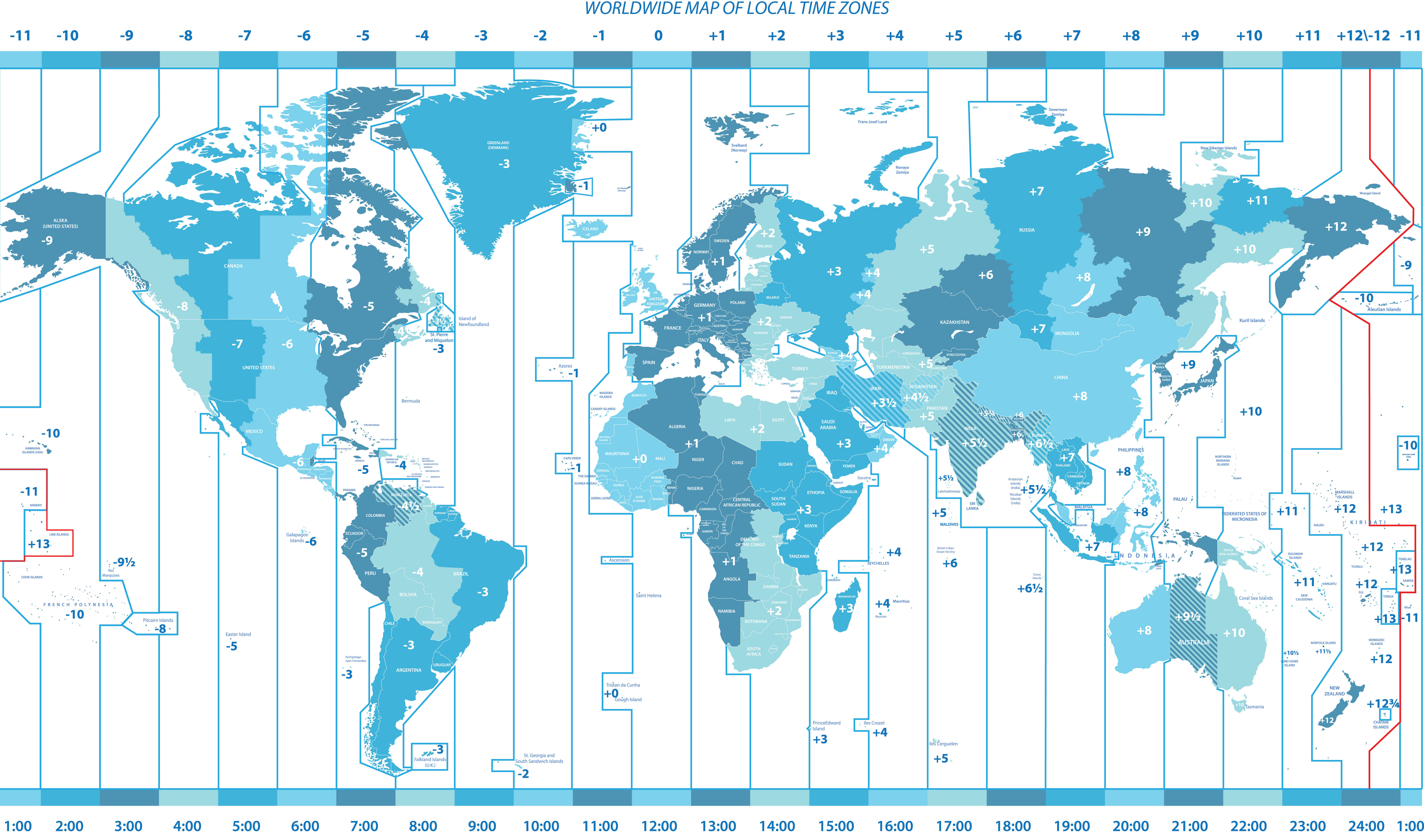
Worldwide political map of local time zones
Feel free to explore these pages as well:
- World Map
- World
- Europe Population Map Countries 2006
- More World Map
- Map of the World
- Map of World
- World Maps
- World Political Map
- World Atlas
- World Map with Countries
- World Map Collection
- World Population Map
- World Wallpapers Maps
- Large World Maps
- Download World Map
- World Map in High-Resolution
- Free HD World Map
- World Continent Maps
- World Satellite Maps
- World Countries Maps
- World Blank Map
- Head of Performance Marketing
- Head of SEO
- Linkedin Profile: linkedin.com/in/arifcagrici