High Resolution Map of Puerto Rico
Explore a detailed High Resolution Map of Puerto Rico featuring cities, roads, municipalities, political boundaries, and terrain. Discover clear, zoomable maps including satellite, physical, and administrative views of Puerto Rico and the Caribbean.
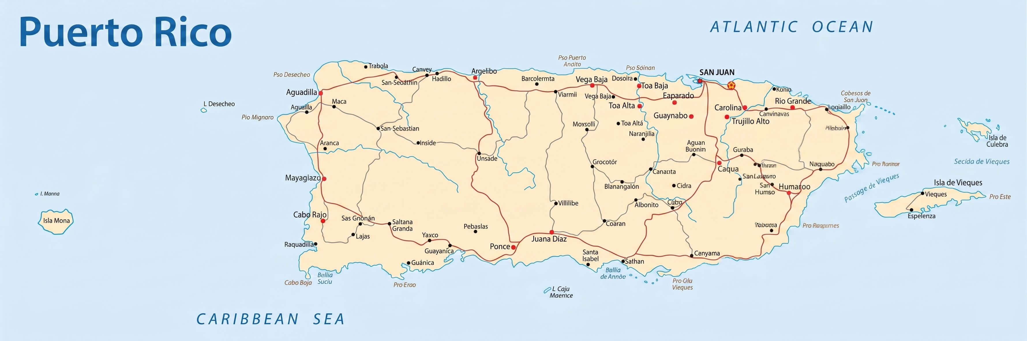
Puerto Rico map
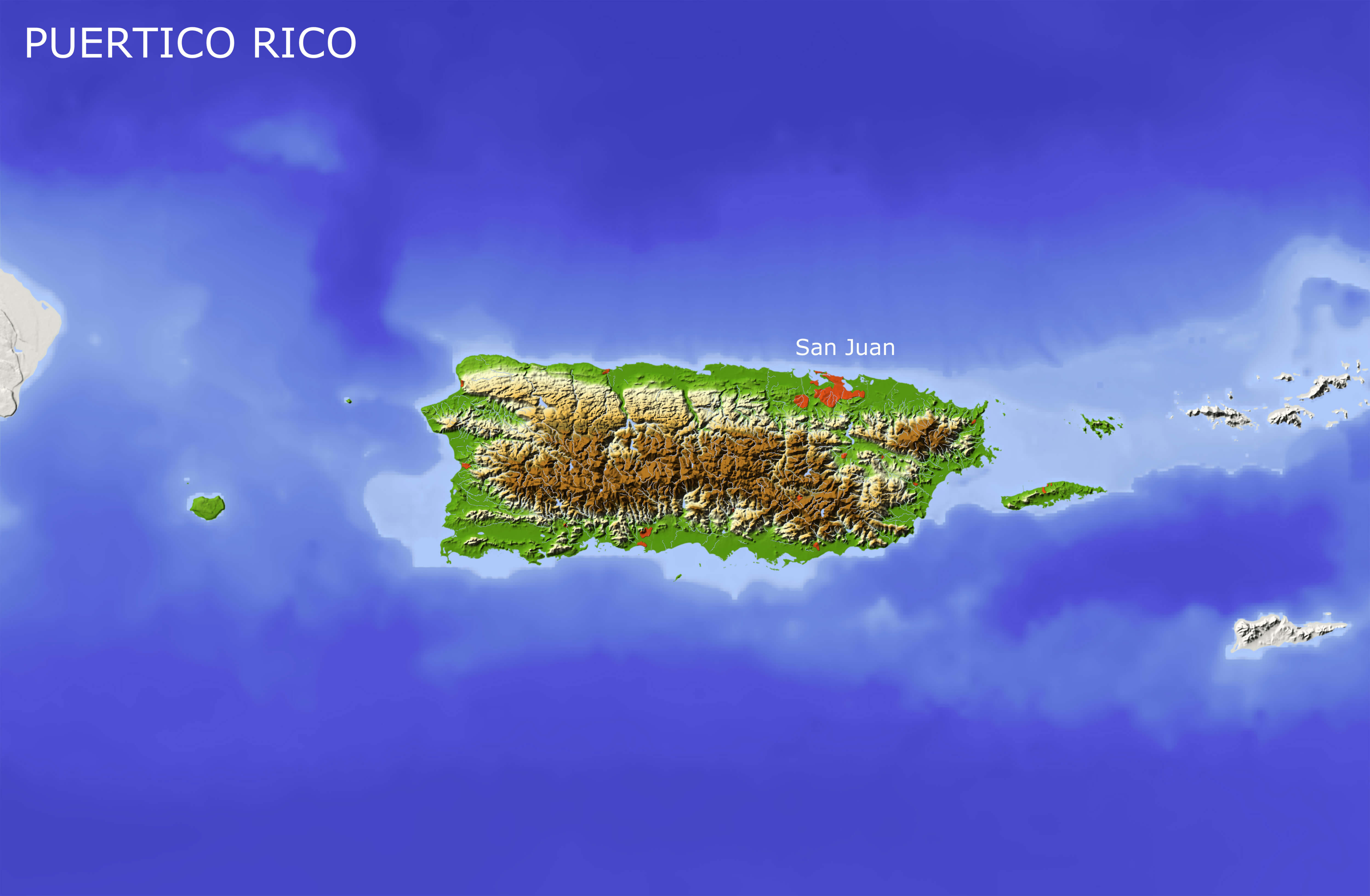
Puerto Rico physical map elevation relief
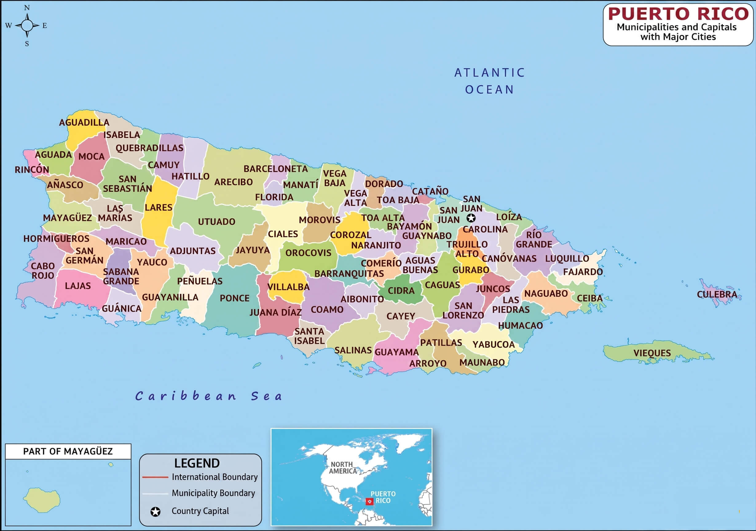
Puerto Rico political map with administrative regions
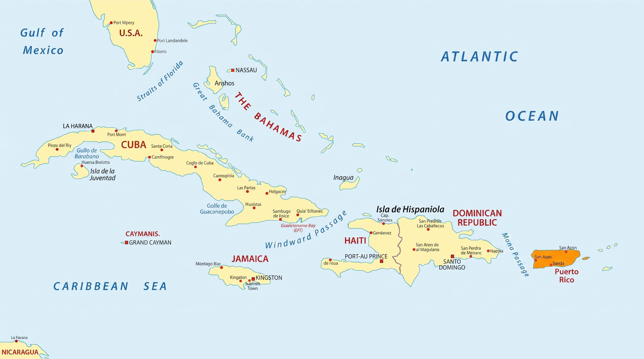
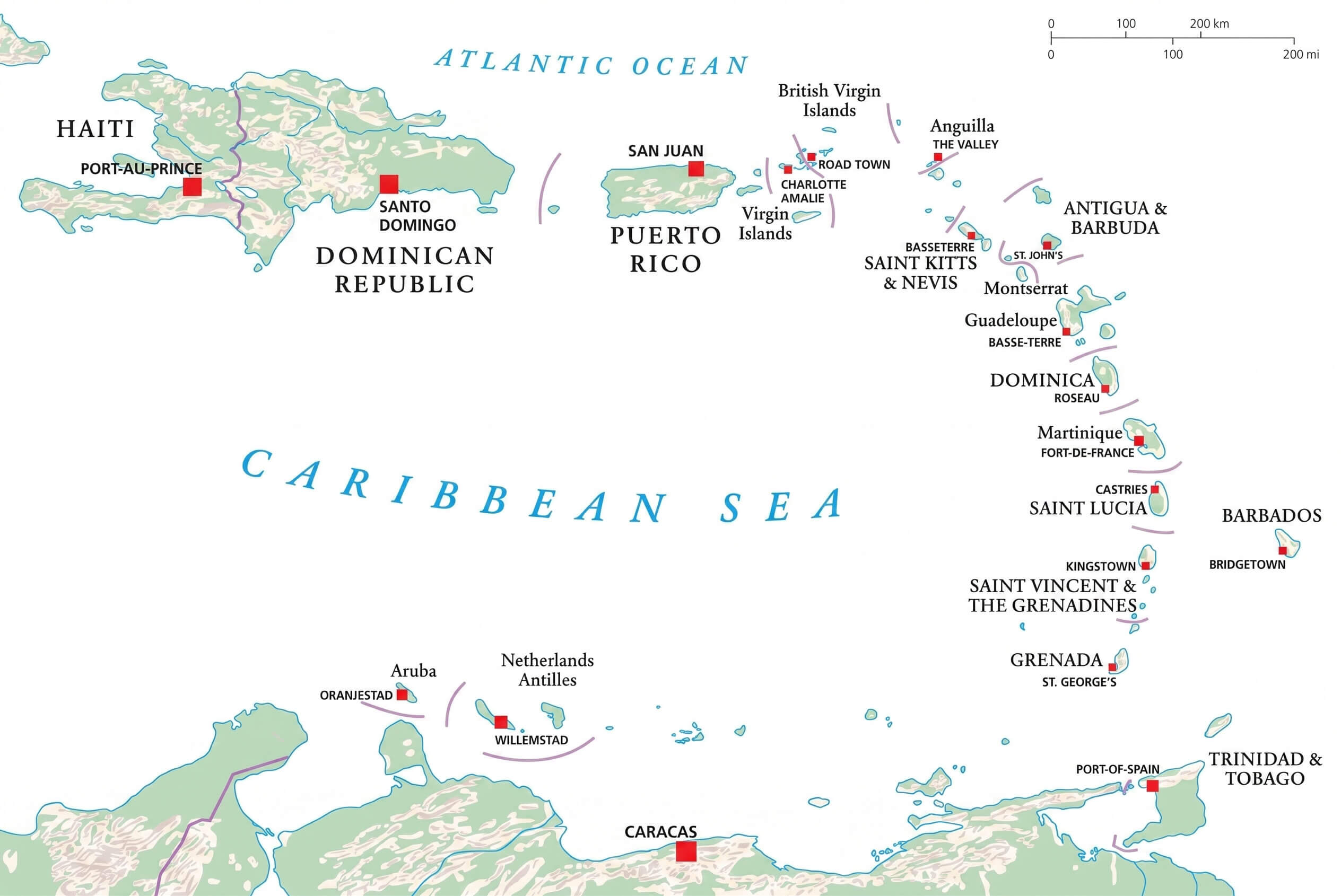
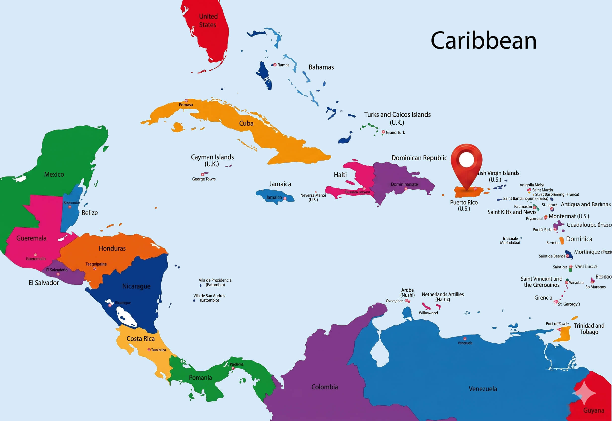
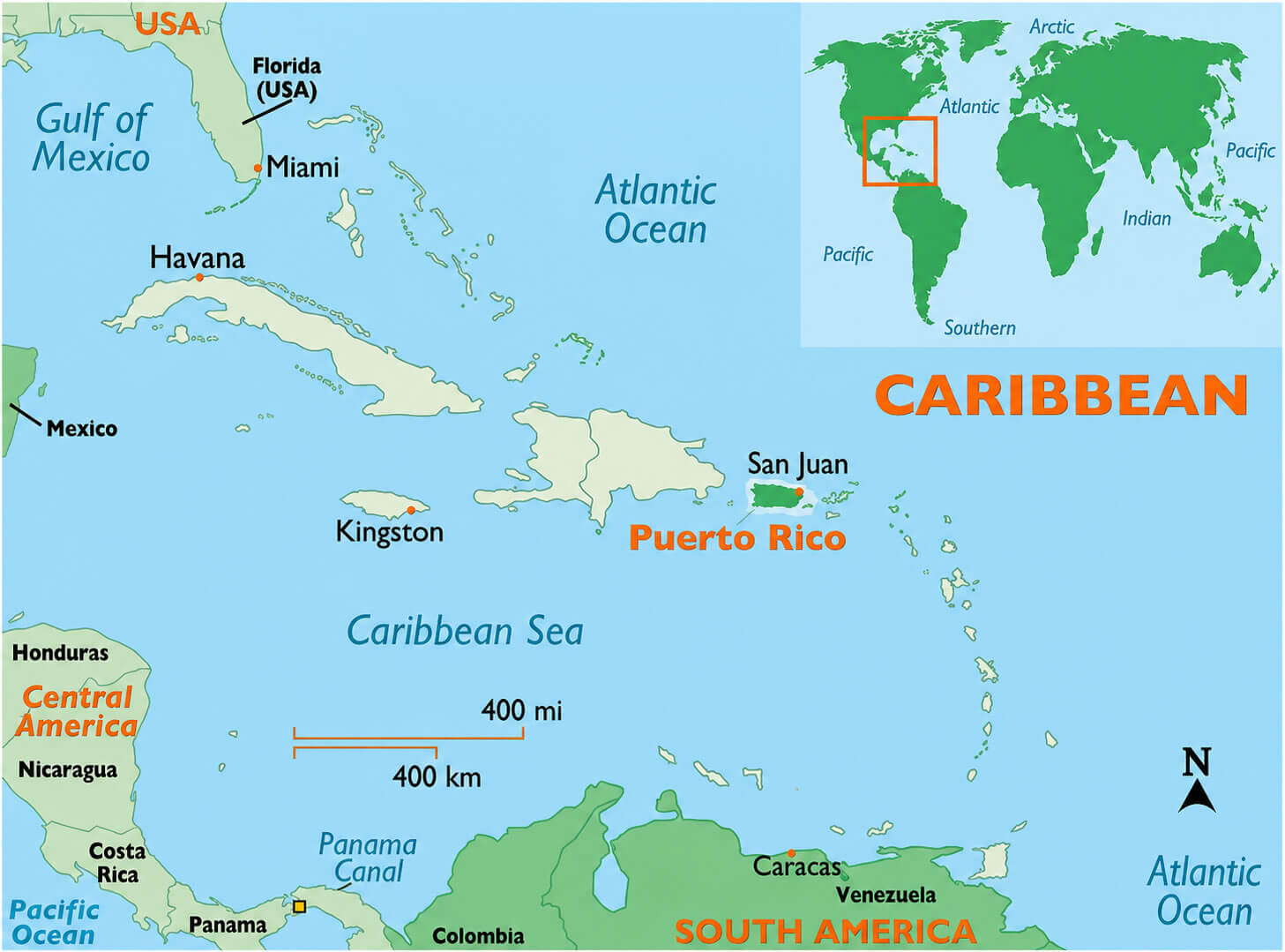
Caribbean Islands and Puerto Rico map
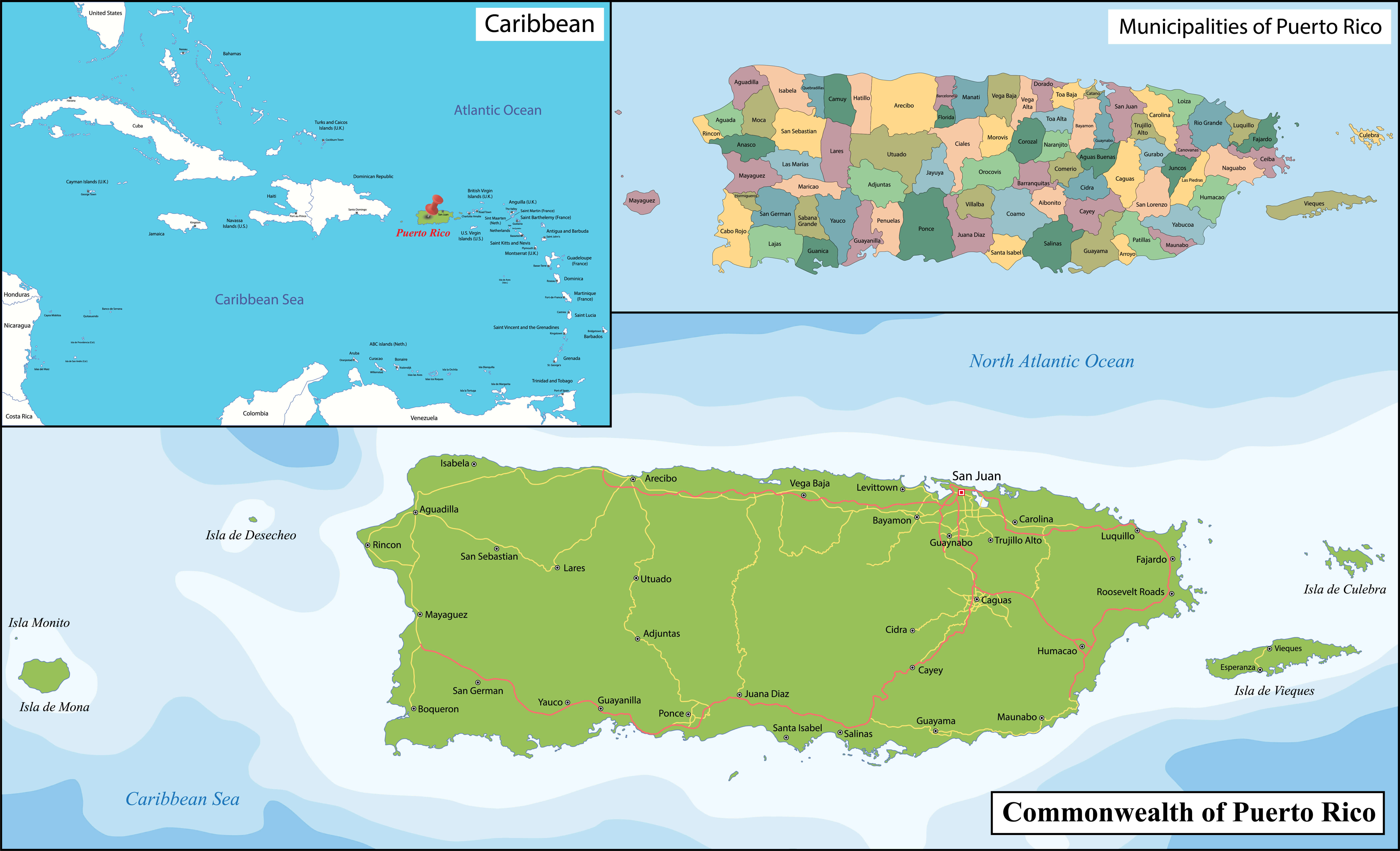
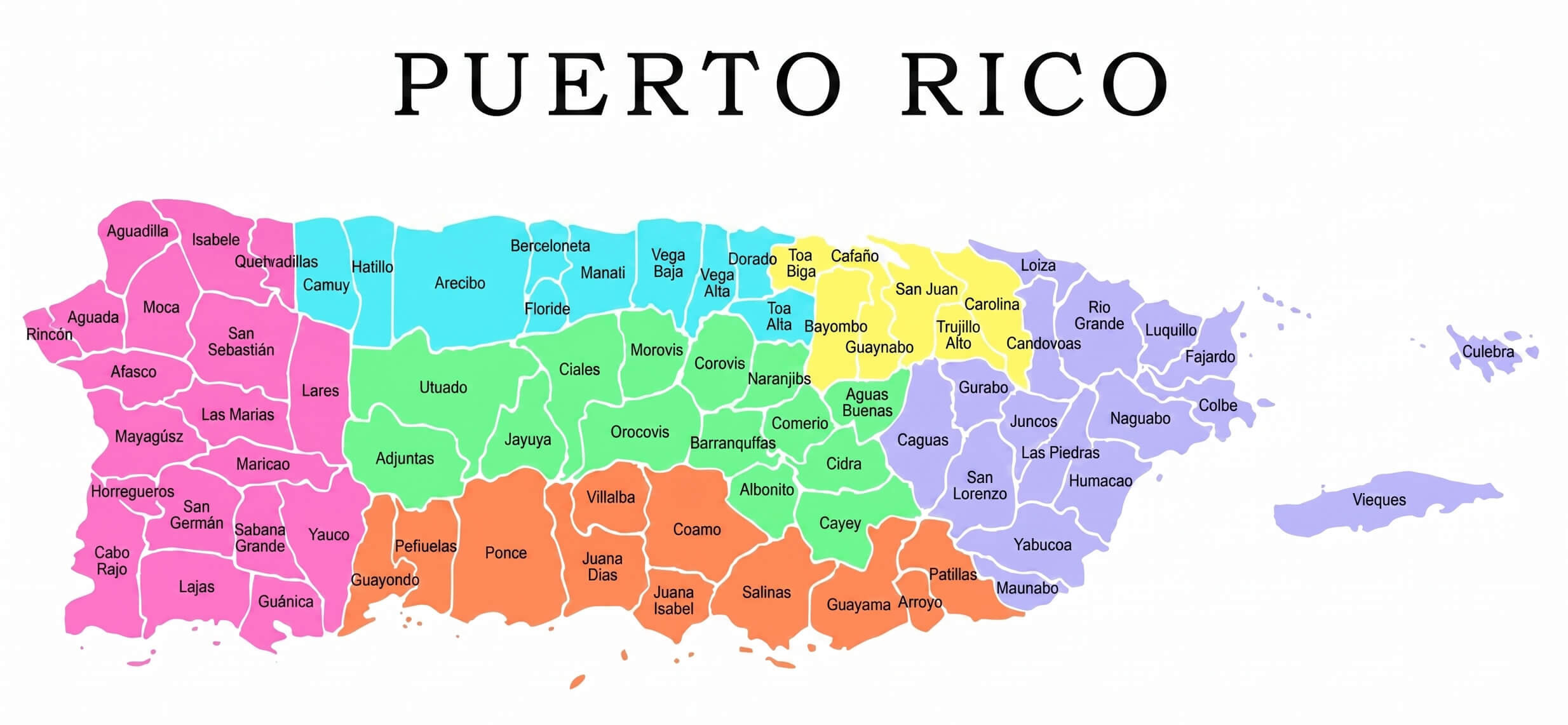
Puerto Rico political map color regions
Discover practical navigation tools such as a Puerto Rico road map cities and highways, Puerto Rico road network map, and Puerto Rico highway map primary roads, alongside visually rich options including a Puerto Rico colorful municipalities map, Puerto Rico regions map, and Puerto Rico orange municipality map detailed. This comprehensive hub also offers geographic insights through a Puerto Rico physical map elevation relief, Puerto Rico terrain relief map topography, and Puerto Rico satellite map, as well as specialized resources like a Puerto Rico Google map, Puerto Rico major cities map, Puerto Rico municipality outline map, Puerto Rico outline map, and even a Puerto Rico historical map 1952, making it your go-to source for detailed, high-quality, and fully zoomable maps of Puerto Rico and the Caribbean region.
Puerto Rico regions map
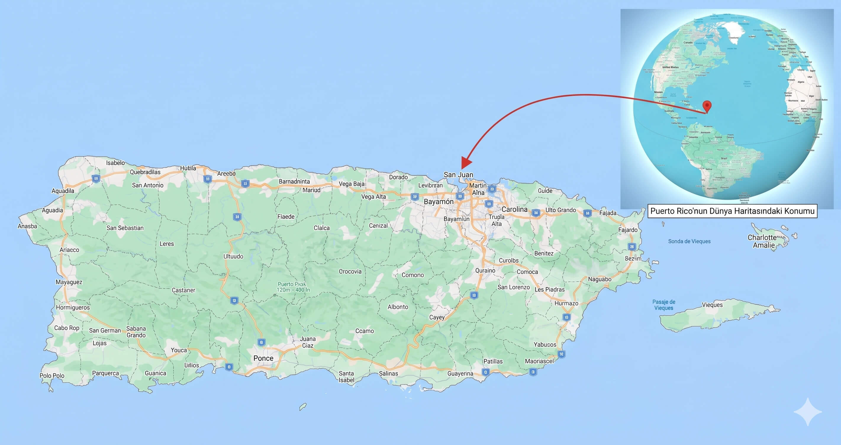
Puerto Rico Google map
Puerto Rico colorful municipalities map
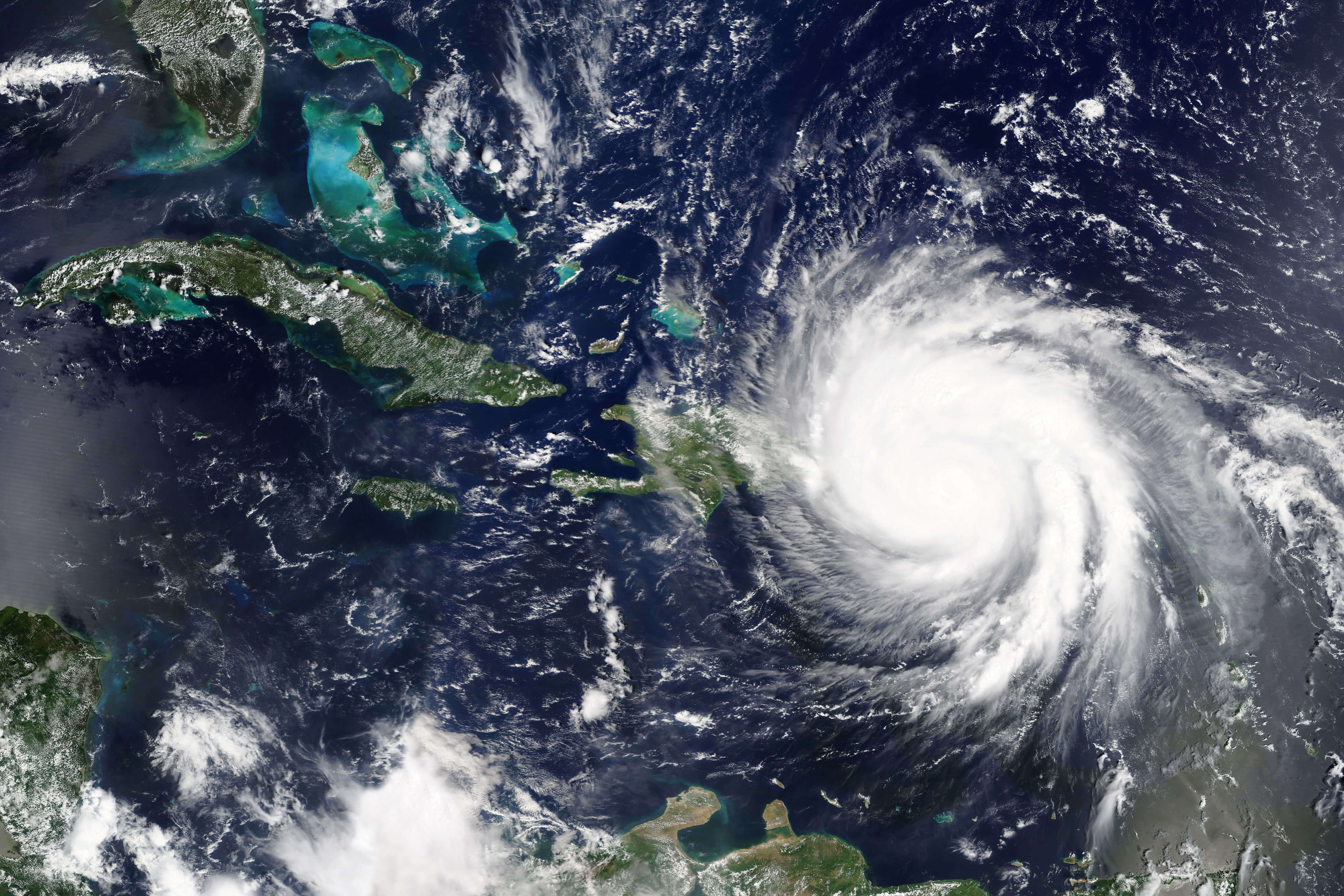
Puerto Rico satellite map
Puerto Rico terrain relief map topography
Caribbean Islands political map detailed
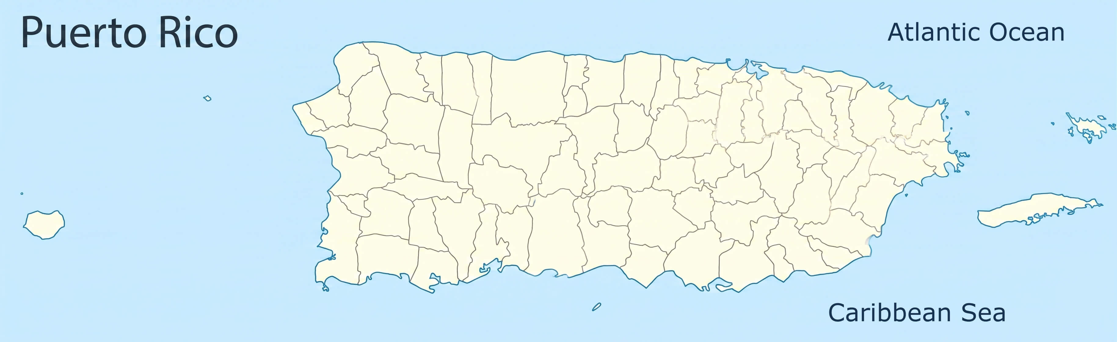
Puerto Rico municipality outline map
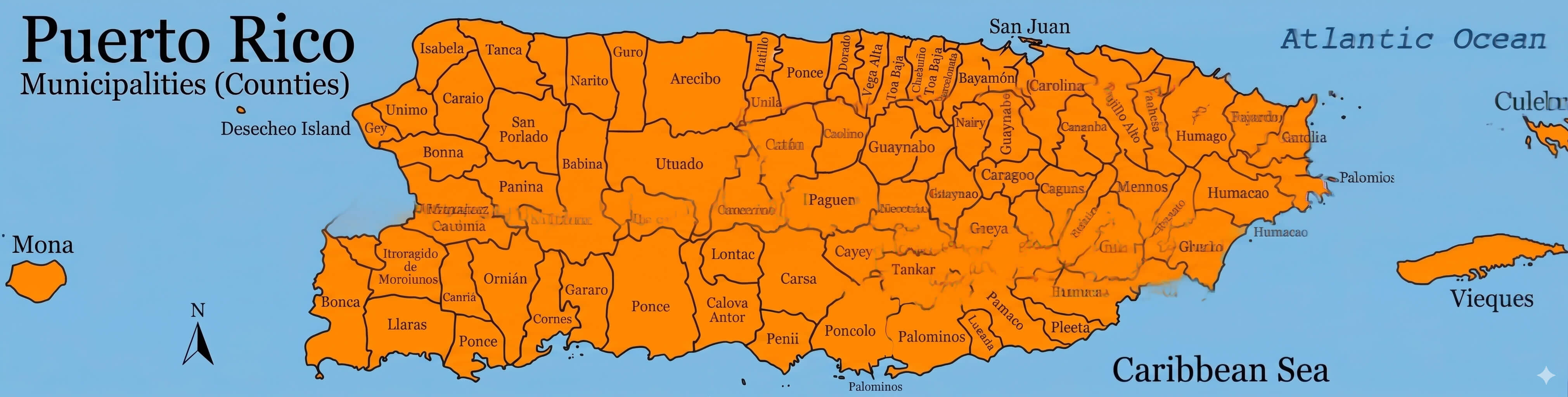
Puerto Rico orange municipality map detailed
Puerto Rico outline map
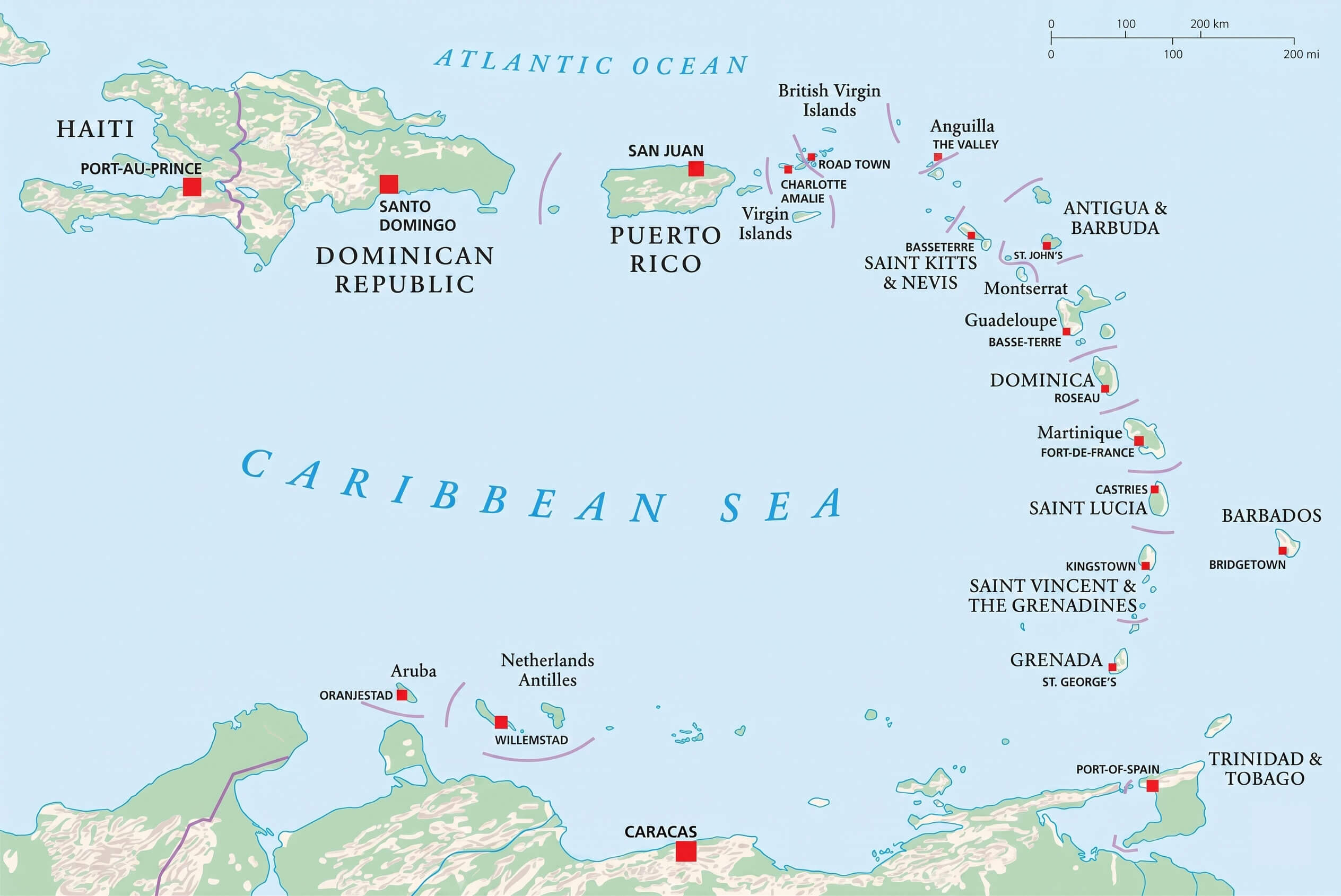
Greater Antilles and Puerto Rico map
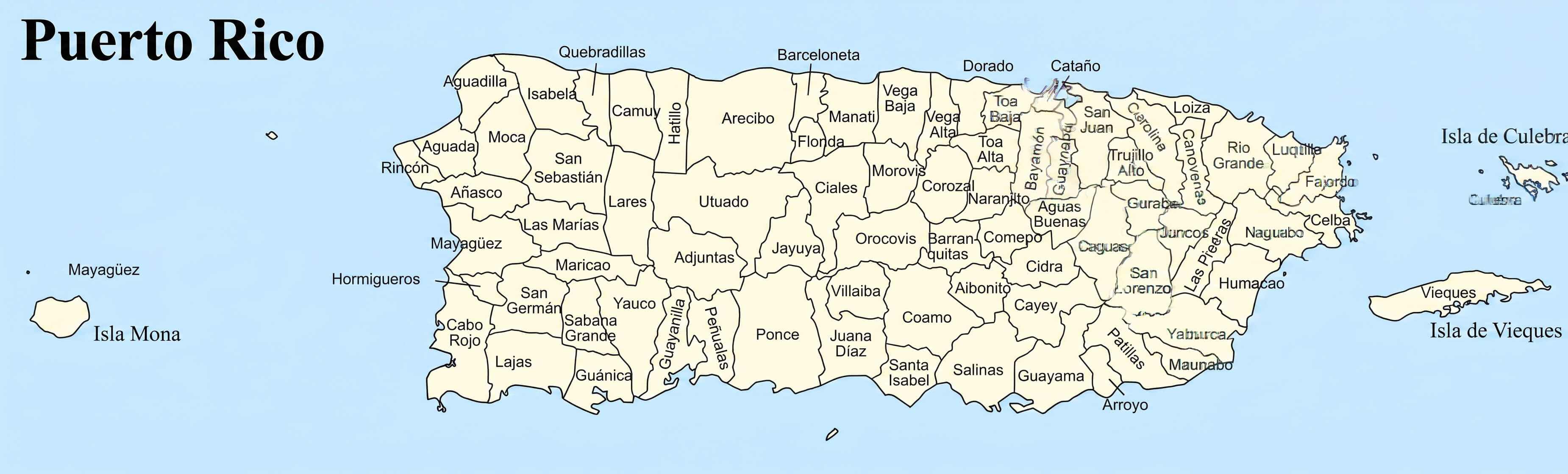
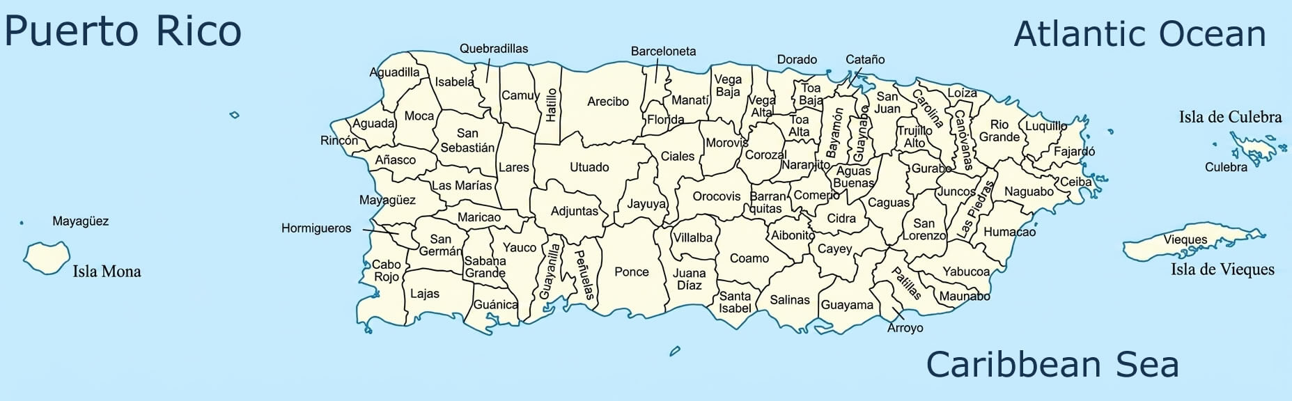
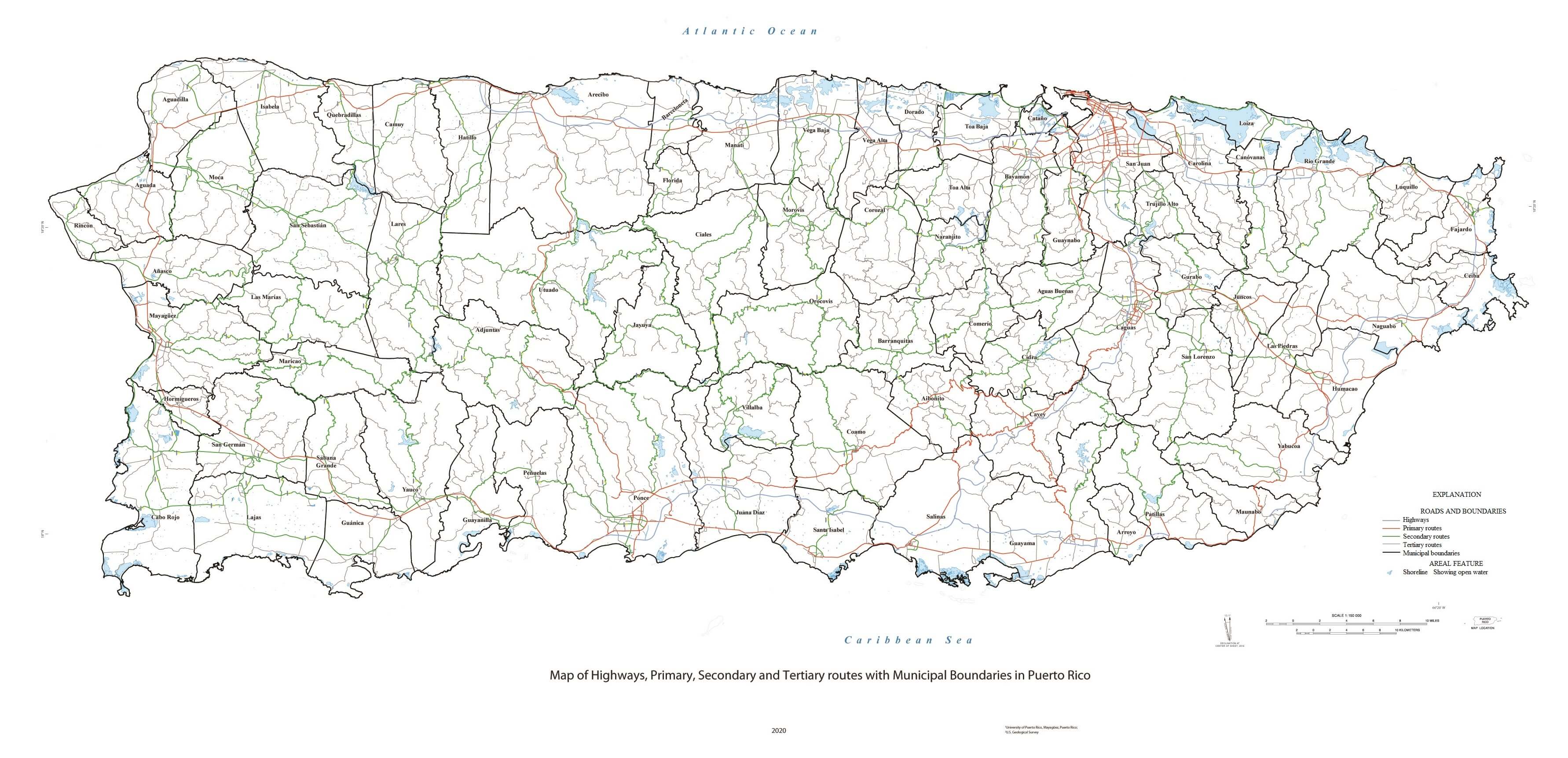
Puerto Rico administrative map municipalities labeled
Puerto Rico and Caribbean political map
Puerto Rico cities rivers and highways map
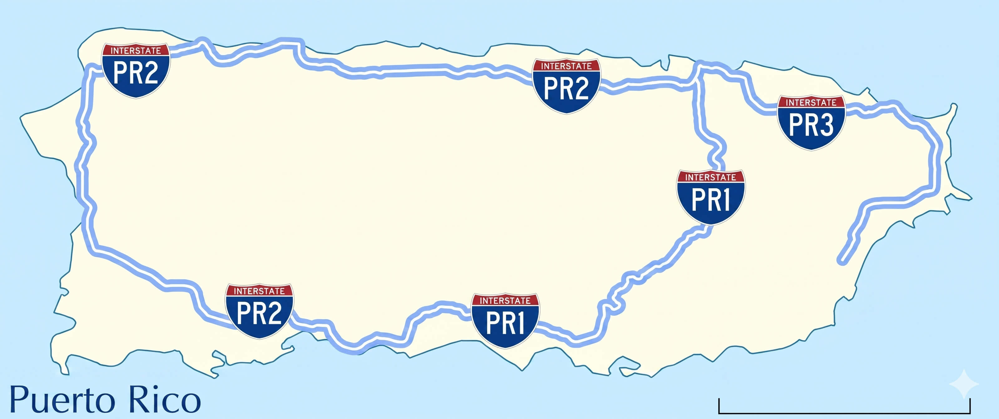
Puerto Rico highway map primary roads
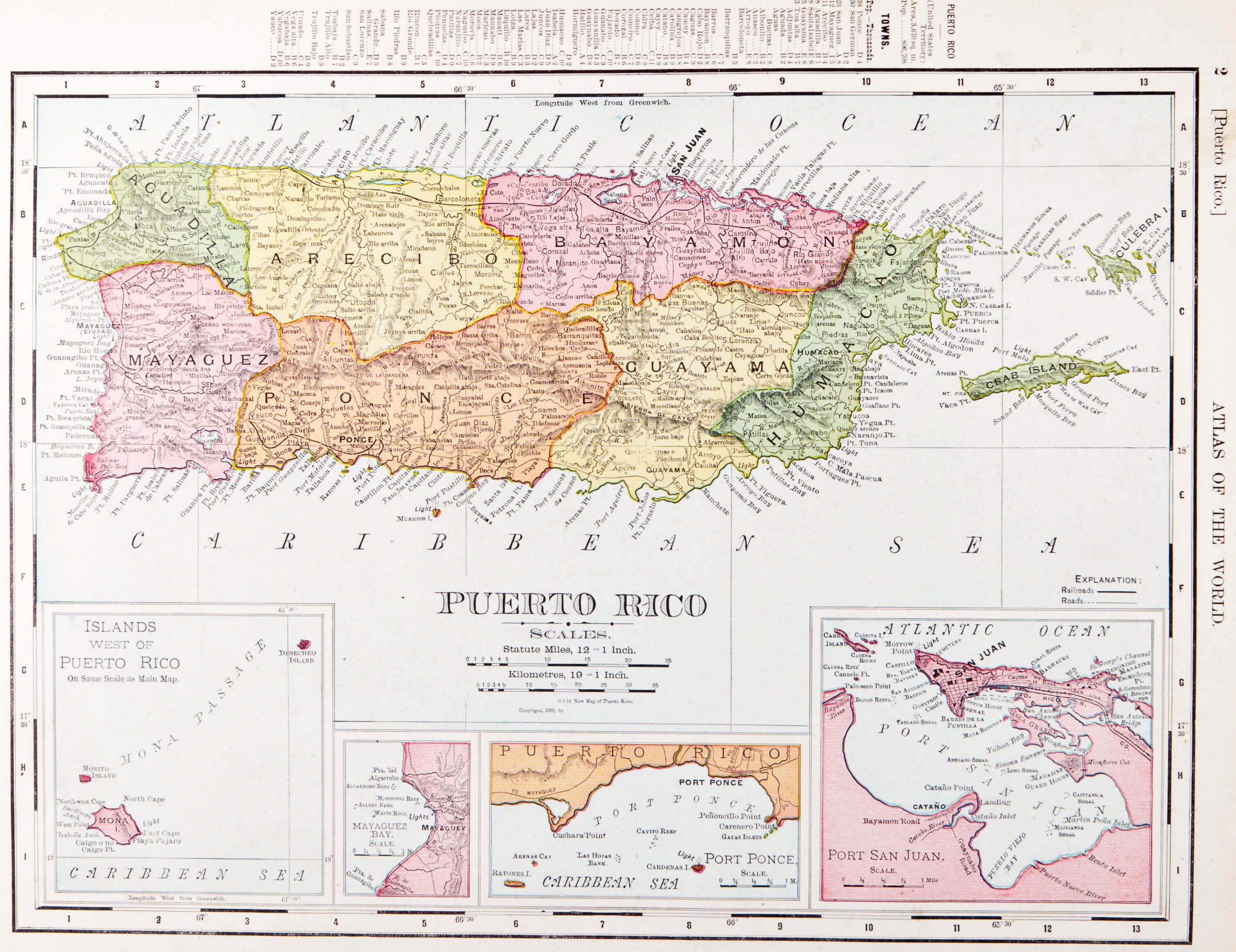
Puerto Rico historical map 1952
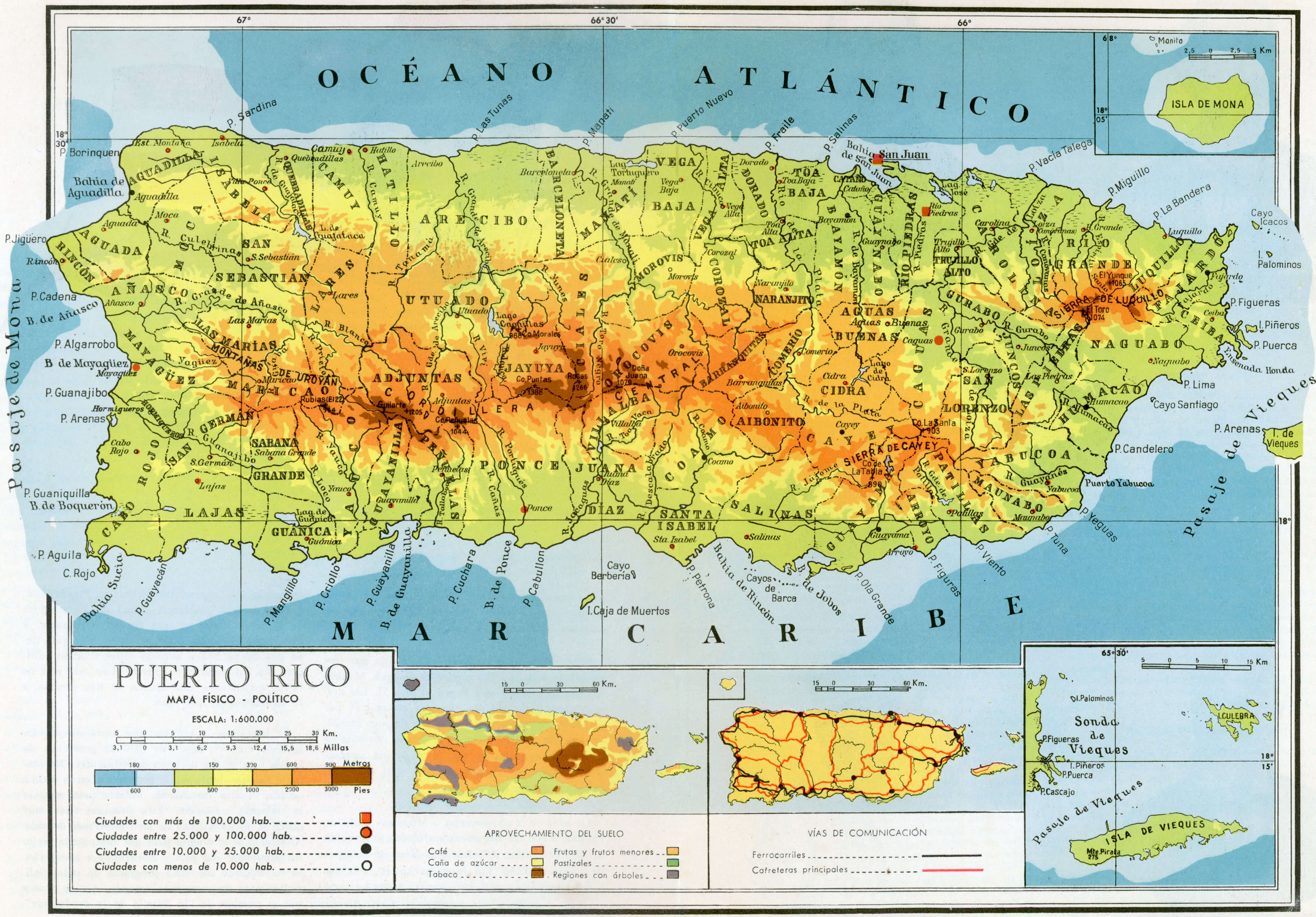
Puerto Rico historical map
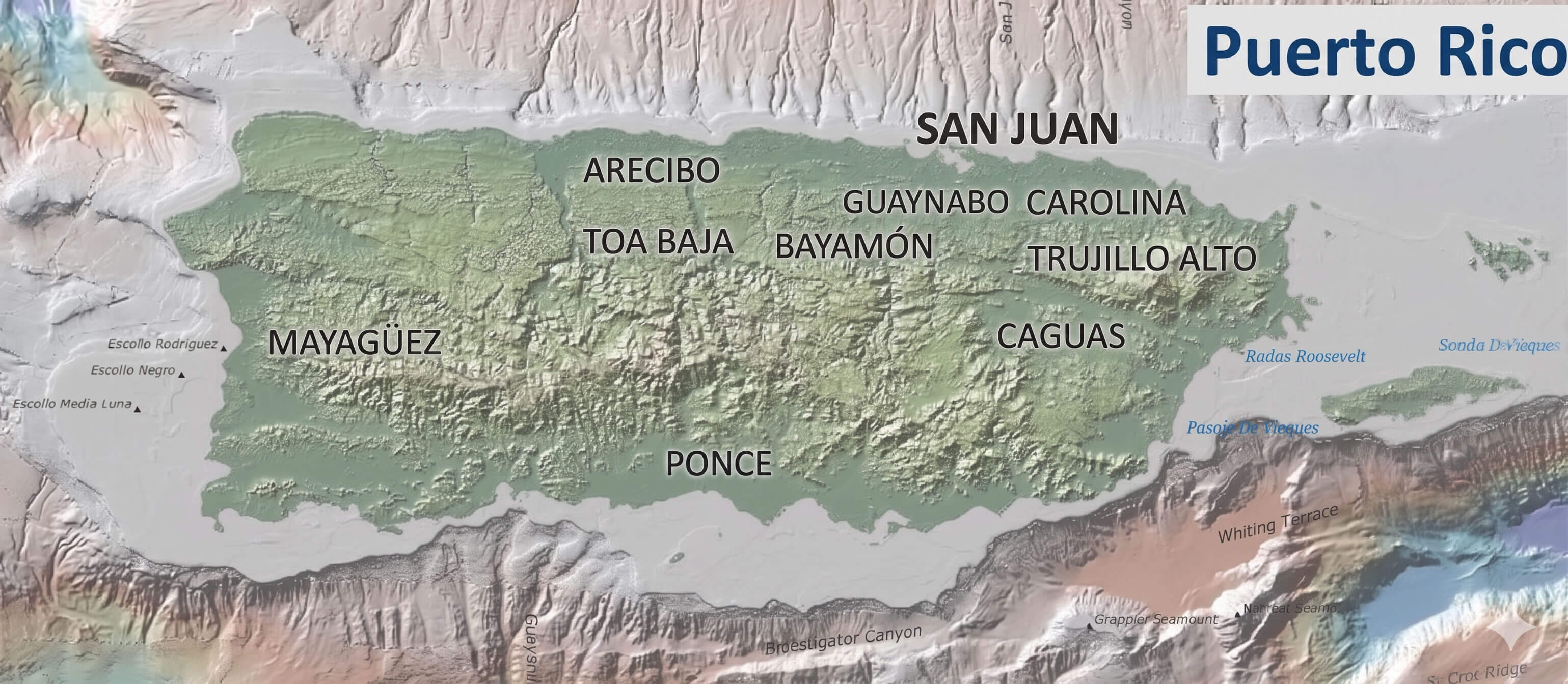
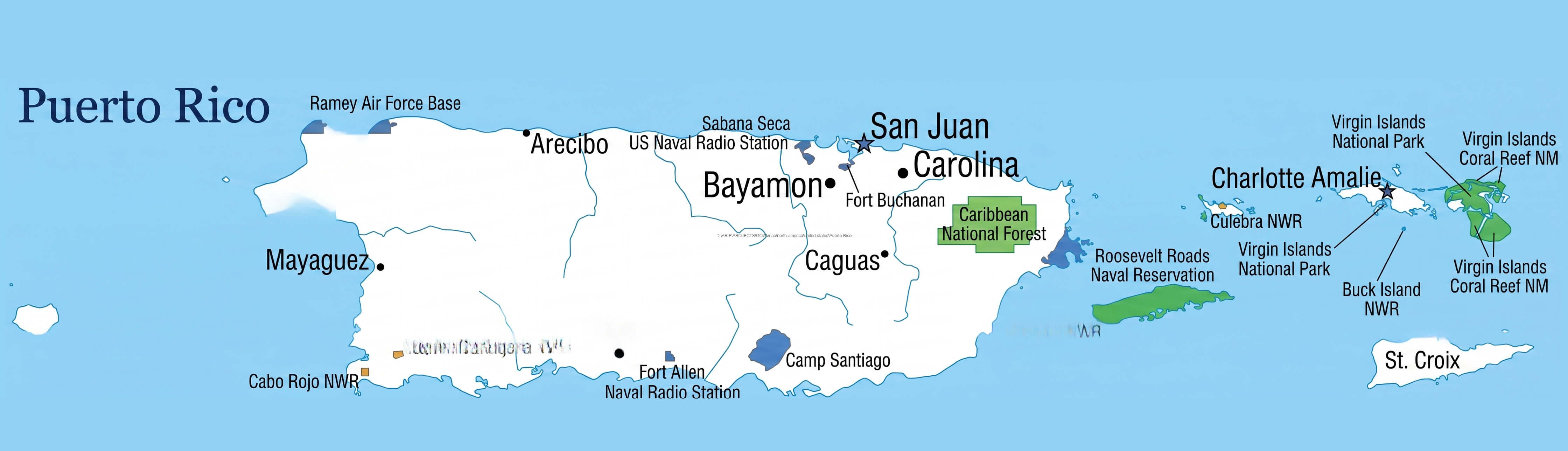
Puerto Rico major cities map
Puerto Rico political map detailed boundaries
Puerto Rico political map
Puerto Rico road map cities and highways
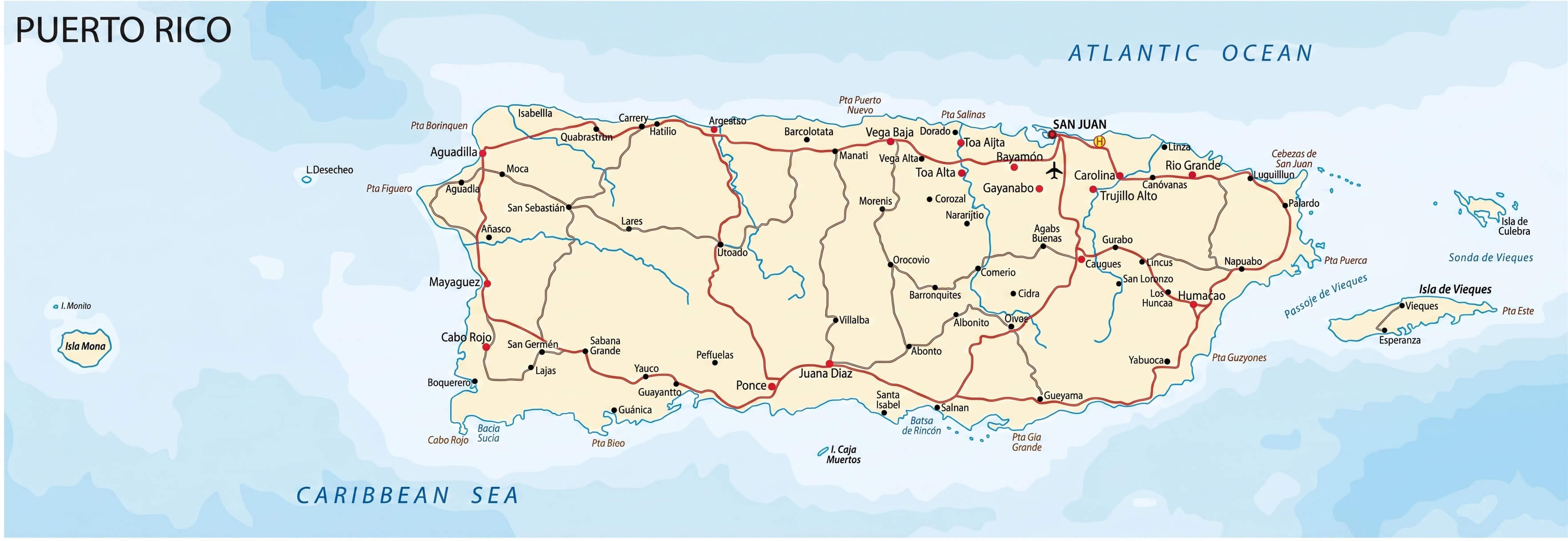
Puerto Rico road network map
Satellite map of Puerto Rico
Largest Cities Map of Puerto Rico
Bayamon Map Carolina Map Guaynabo Map Ponce Map Mayaguez Map San Juan Map Caguas Map- Head of Performance Marketing
- Head of SEO
- Linkedin Profile: linkedin.com/in/arifcagrici