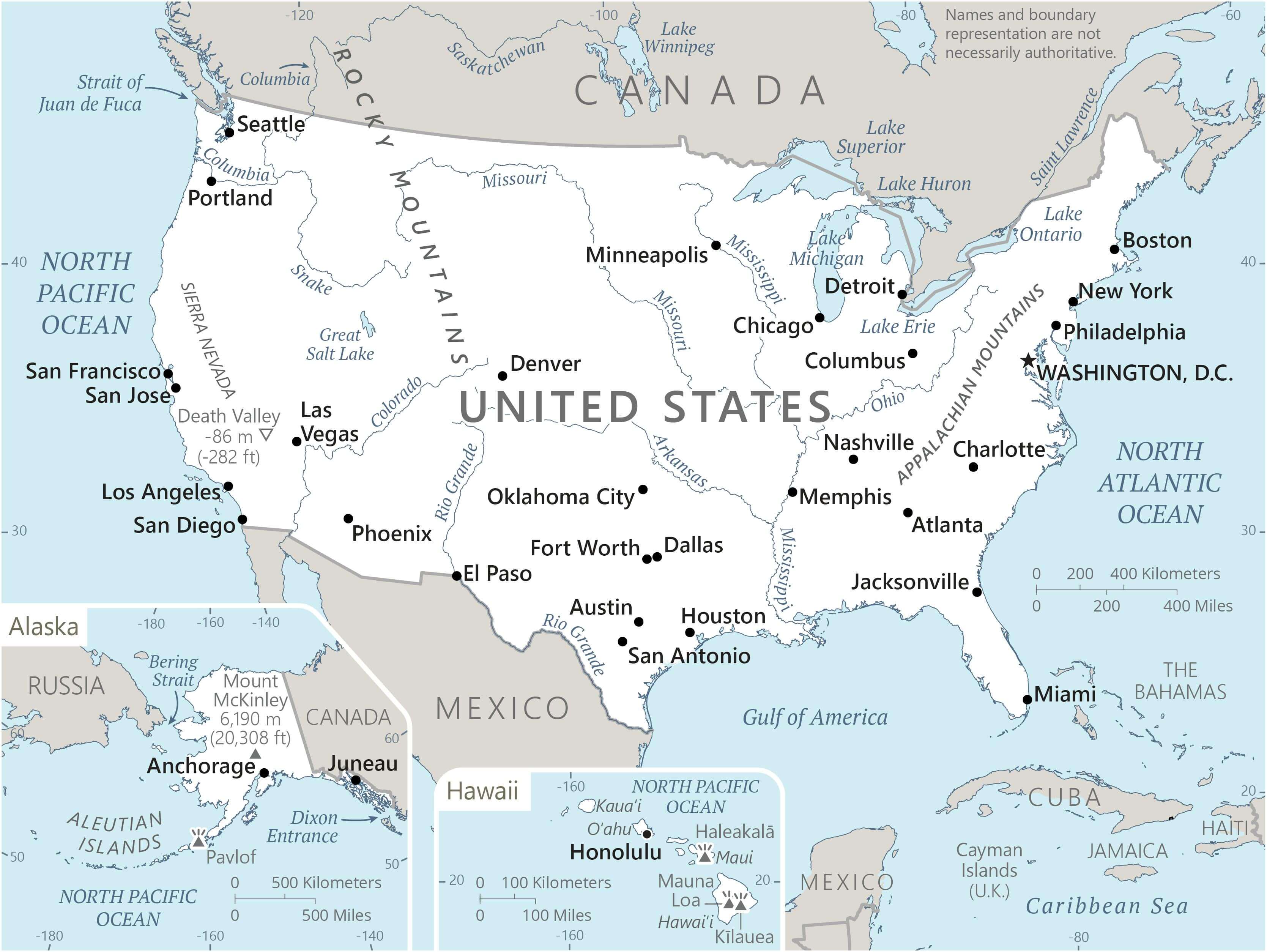
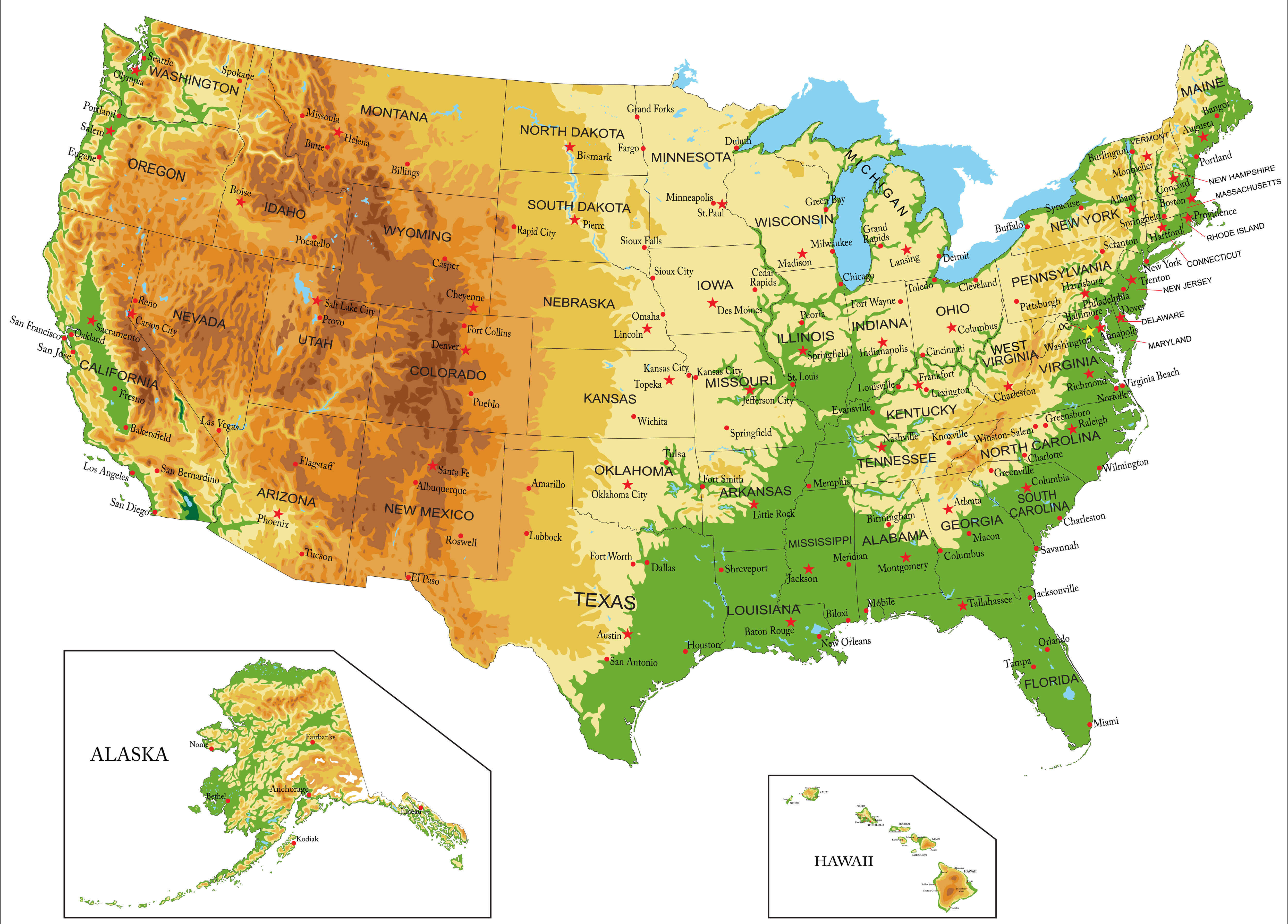
High-Resolution United States Map with States and Cities
 High-resolution map of United States with states and major cities.
This high-resolution United States map shows all 50 states with clearly marked boundaries and major cities. It highlights important highways, rivers, and neighboring countries, offering a detailed view for travelers, researchers, and anyone studying American geography and urban locations.
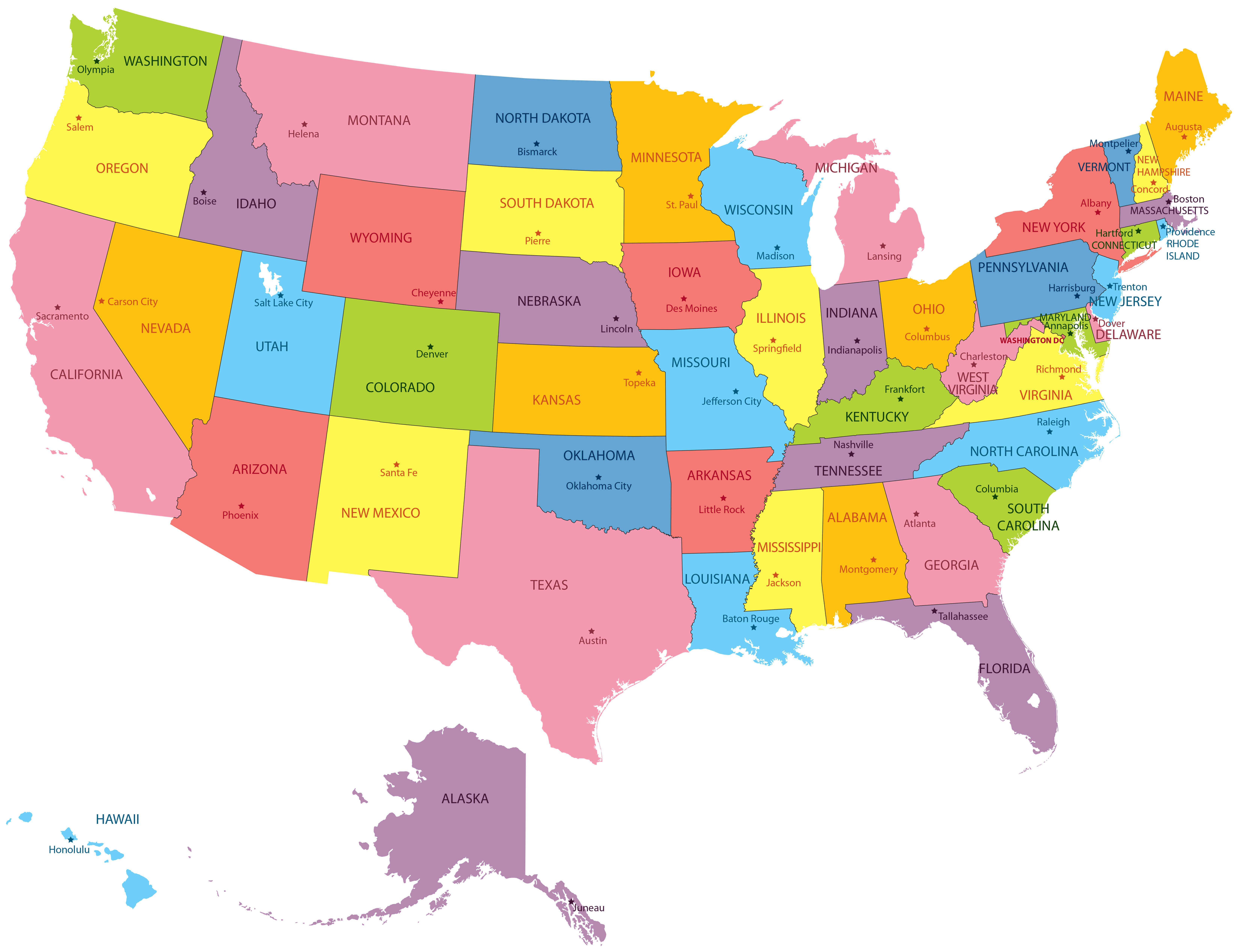
High-Resolution Political Map of the United States
 Detailed political map of the United States showing states and capitals.
Explore the high-resolution political map of the United States featuring all 50 states, capitals, boundaries, and major cities. This colorful map includes Alaska, Hawaii, and neighboring countries like Canada and Mexico, offering a clear overview of America’s geography and divisions.
High-resolution states map of United States of America
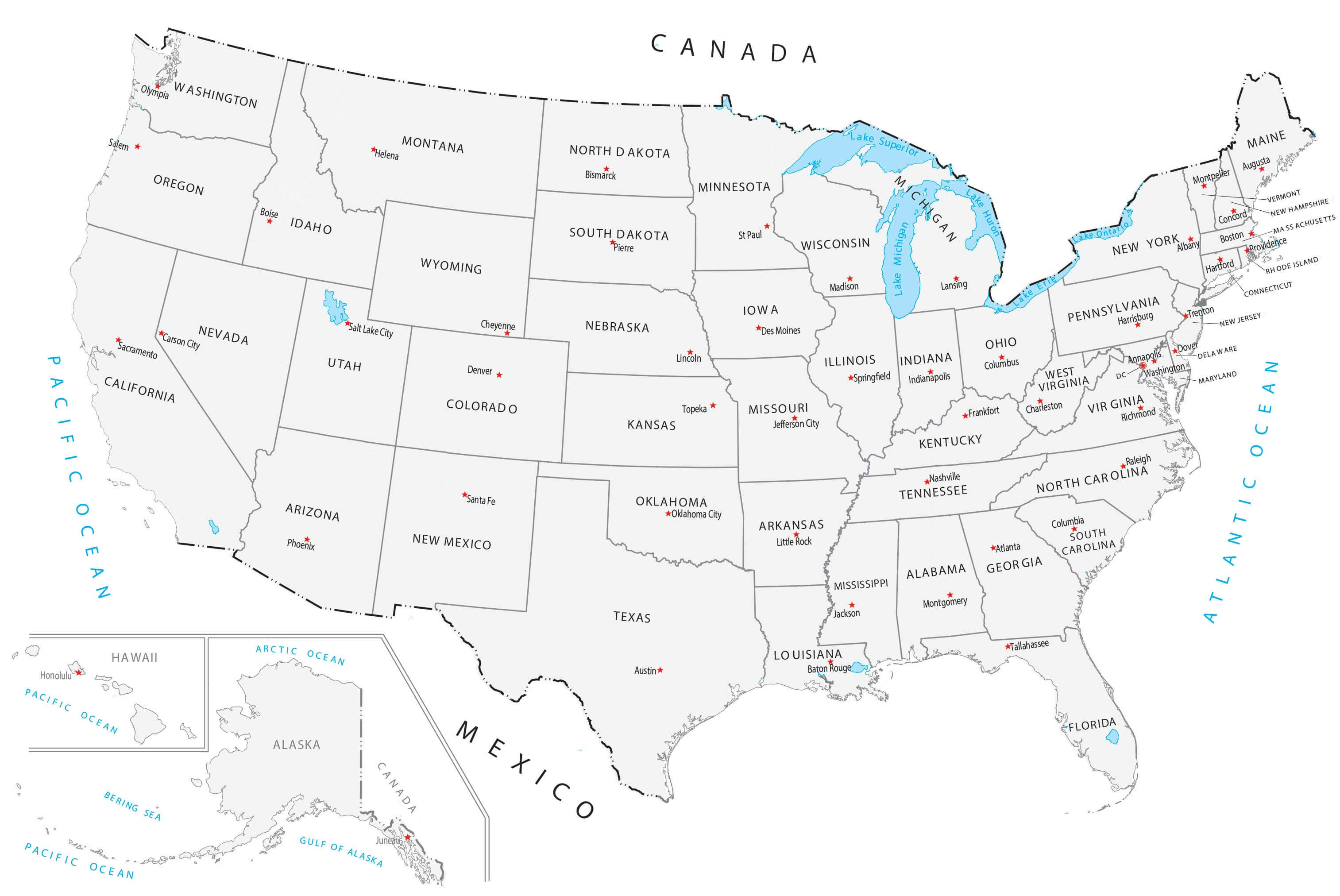
High-resolution the United States map with cities
High-resolution United States blank map with Hawaii and Alaska
High-resolution United States blank physical map
High-resolution United States capitals and main cities map
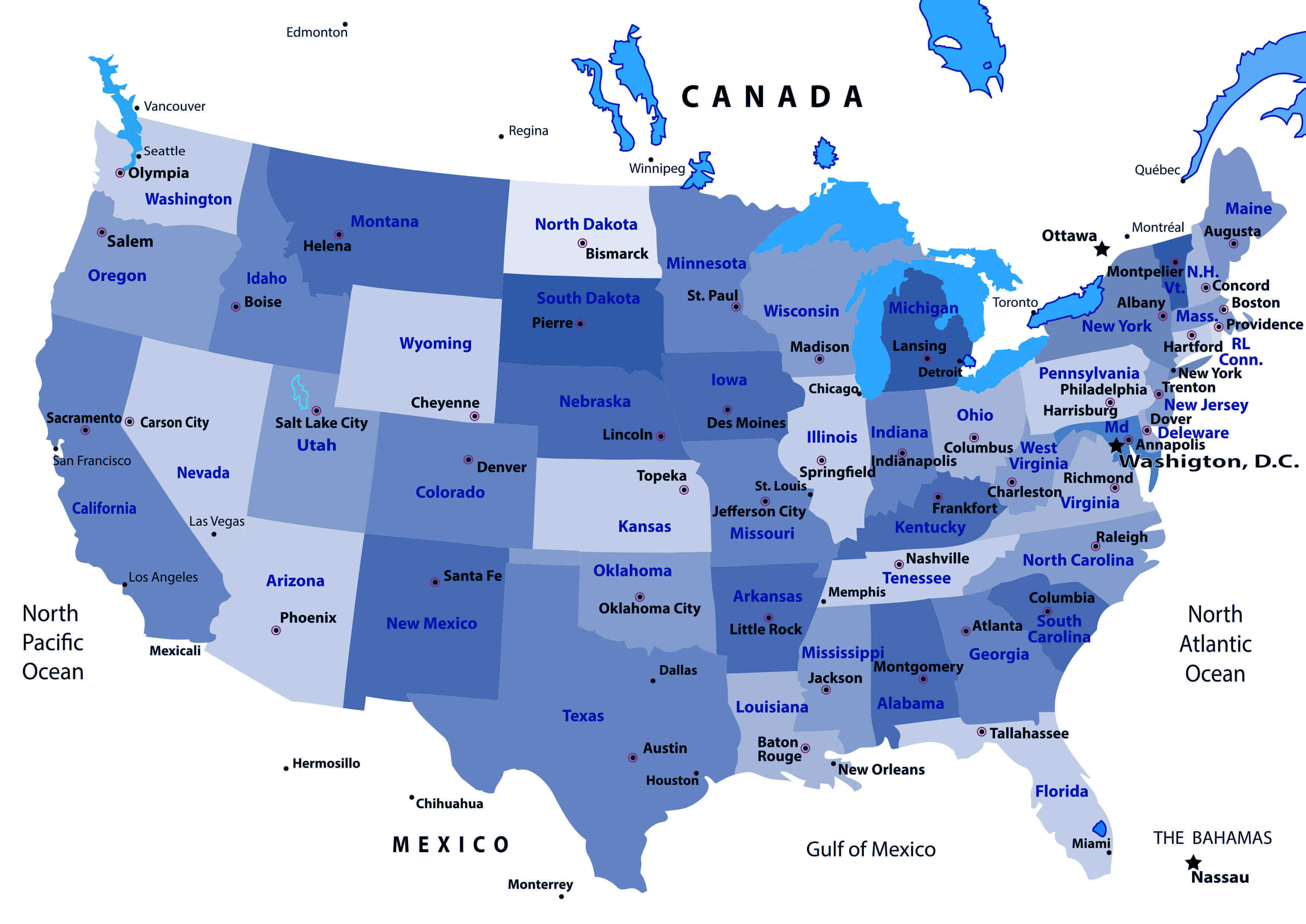
High-resolution United States capitals map
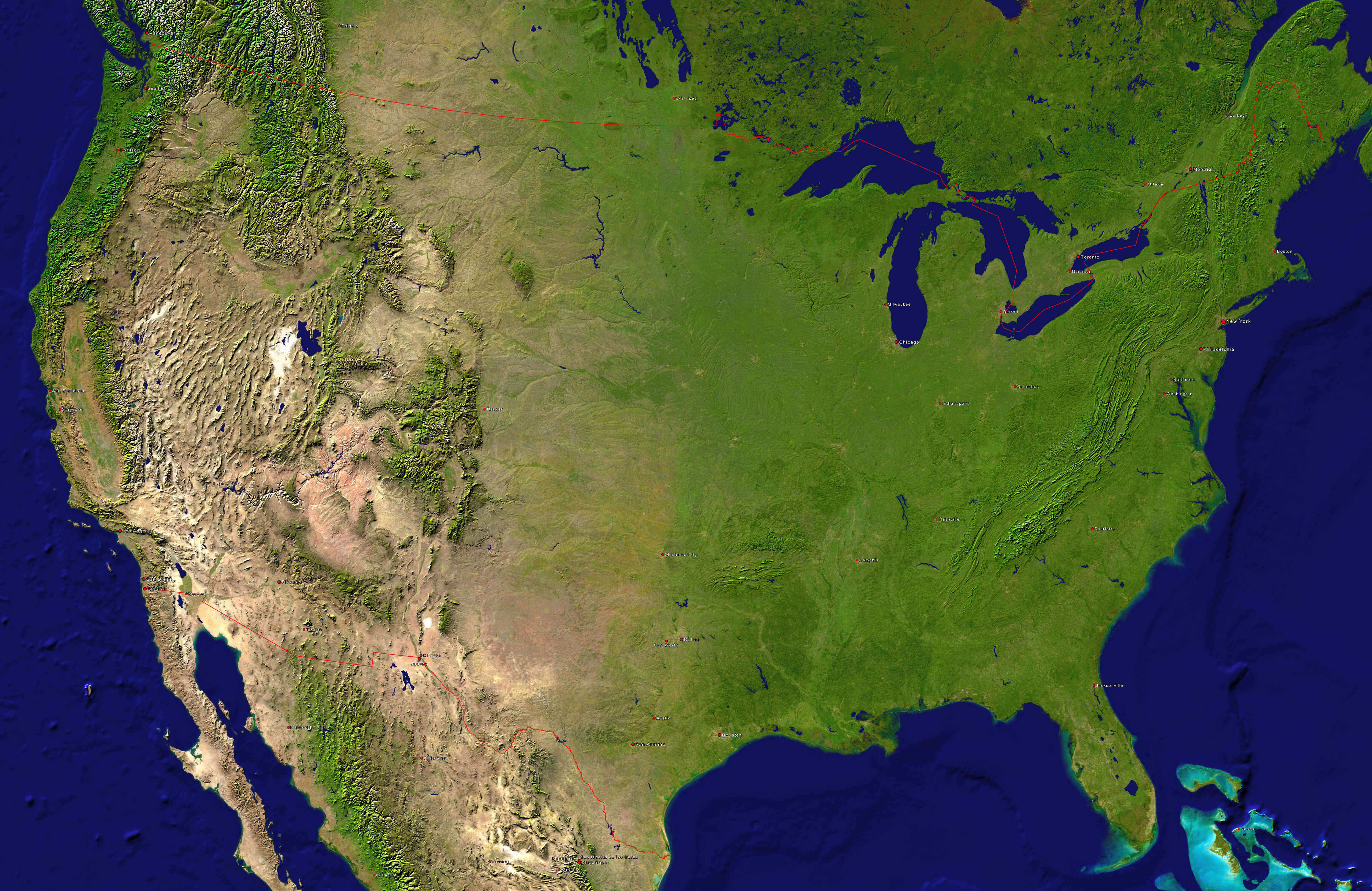
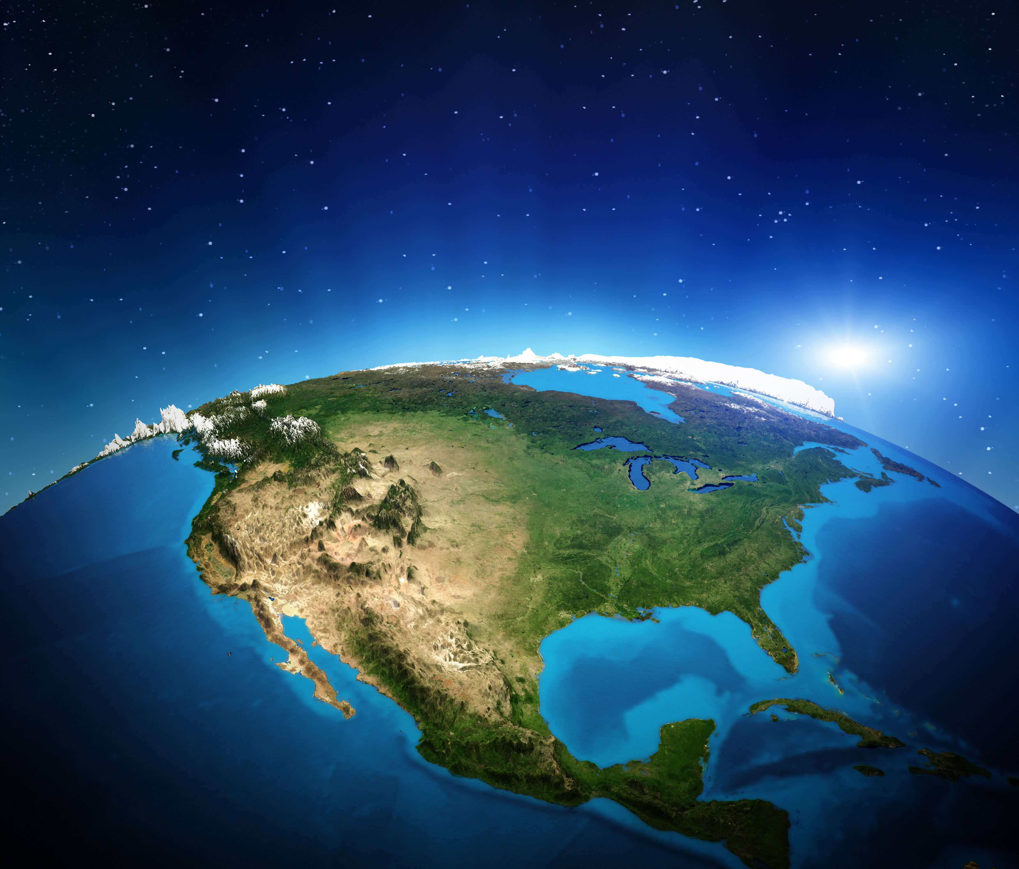
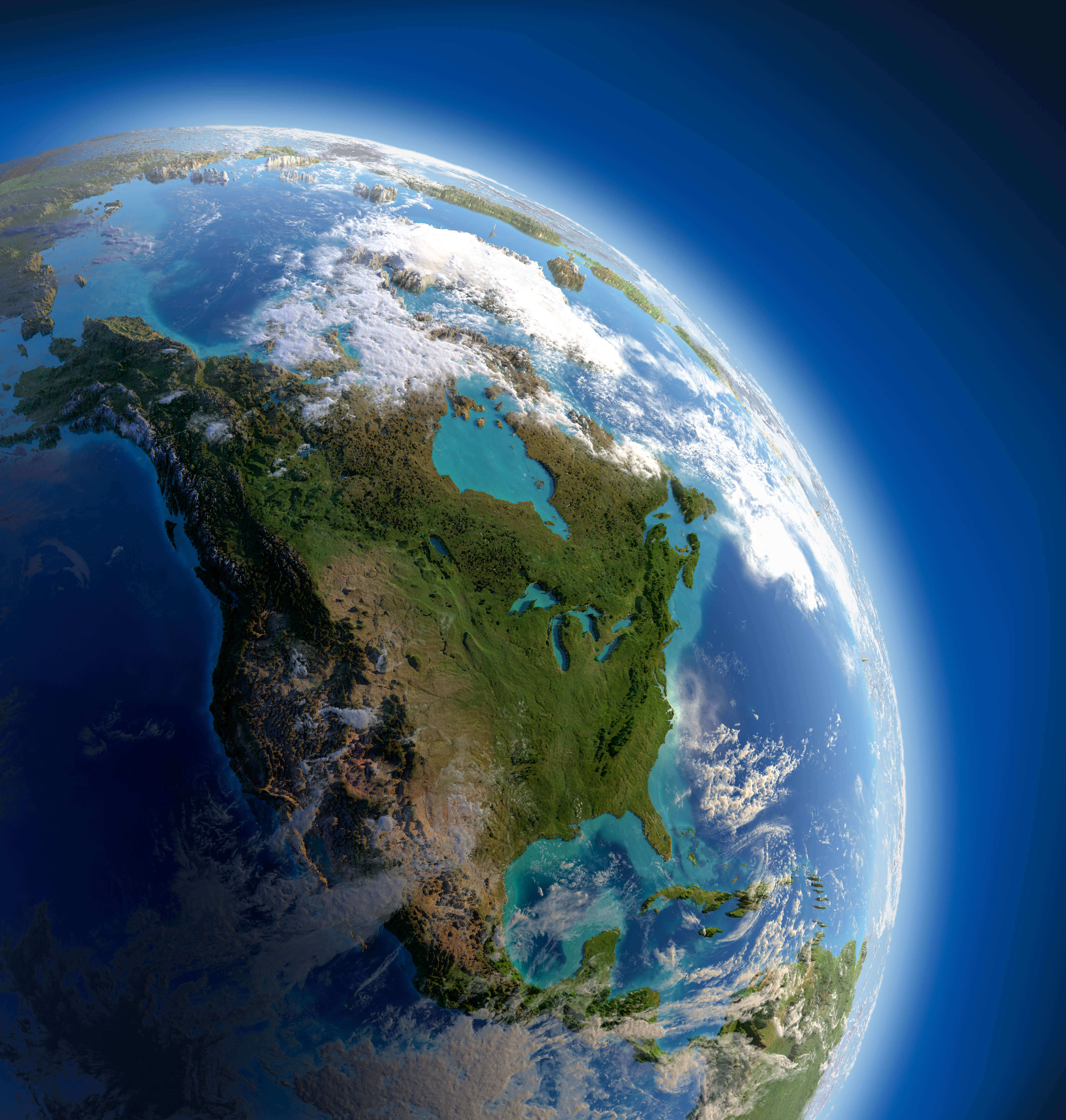
High-resolution United States satellite image
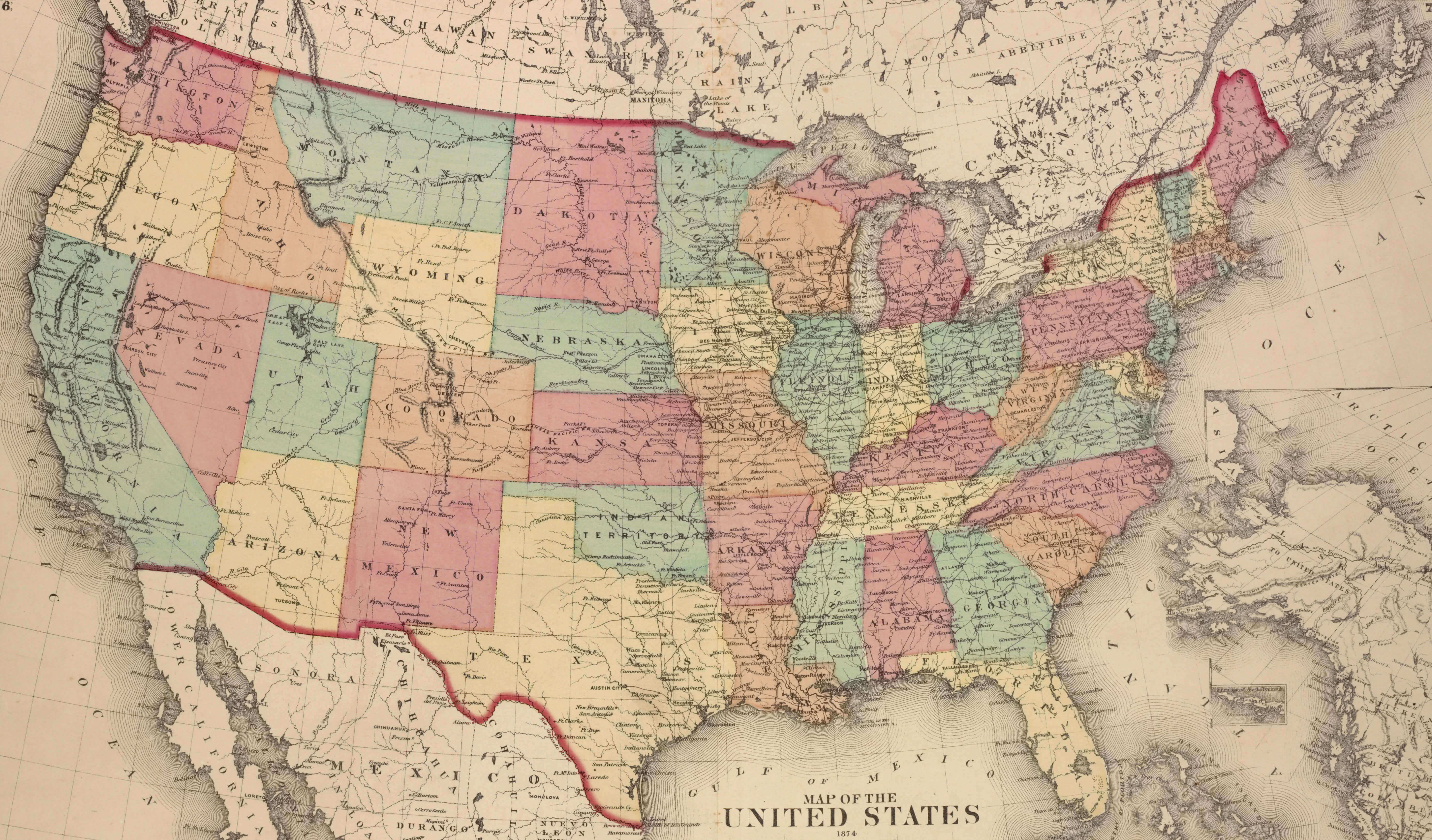
High-resolution United States historical map
High-resolution United States largest cities map
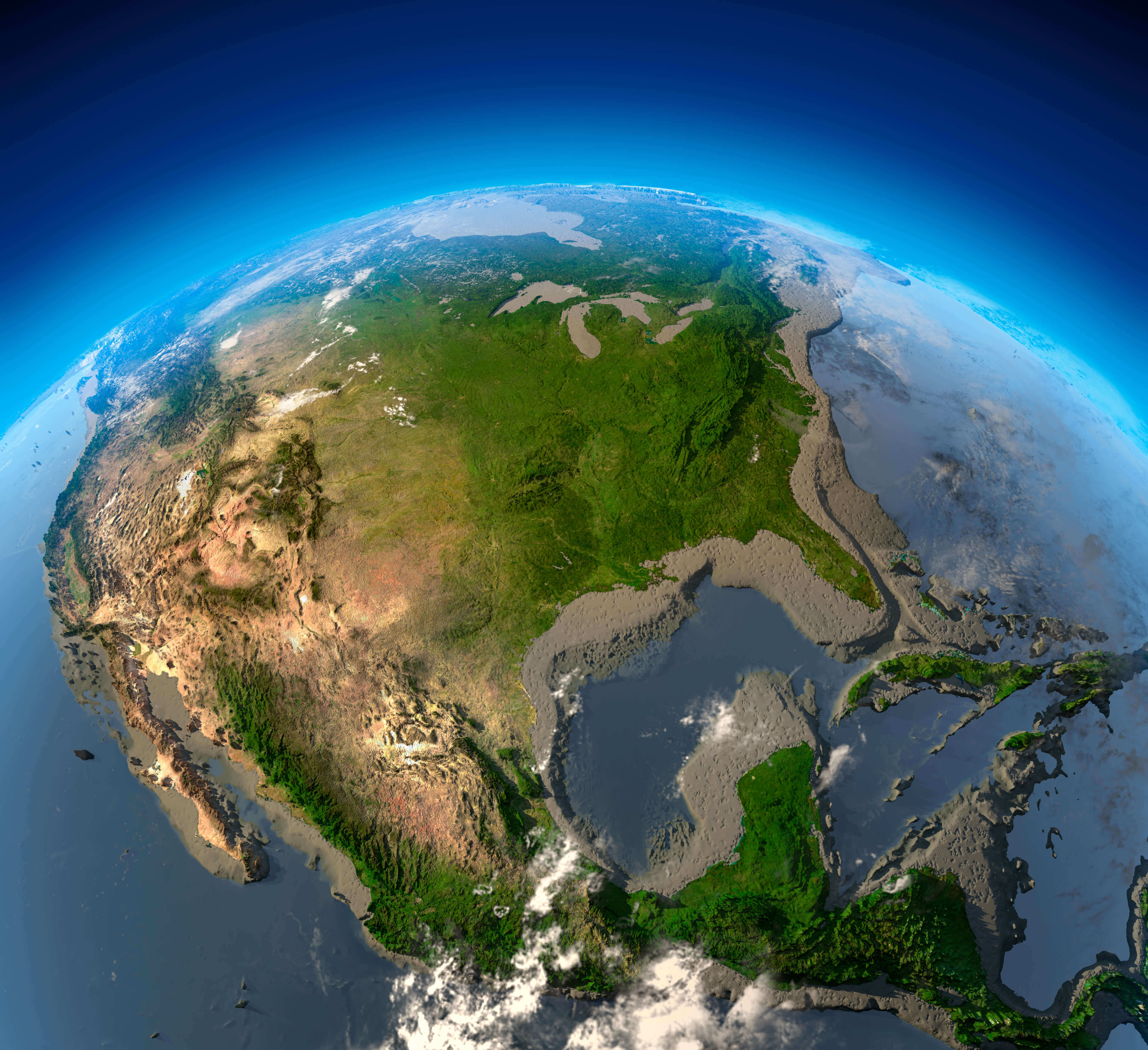
High-resolution United States map from space
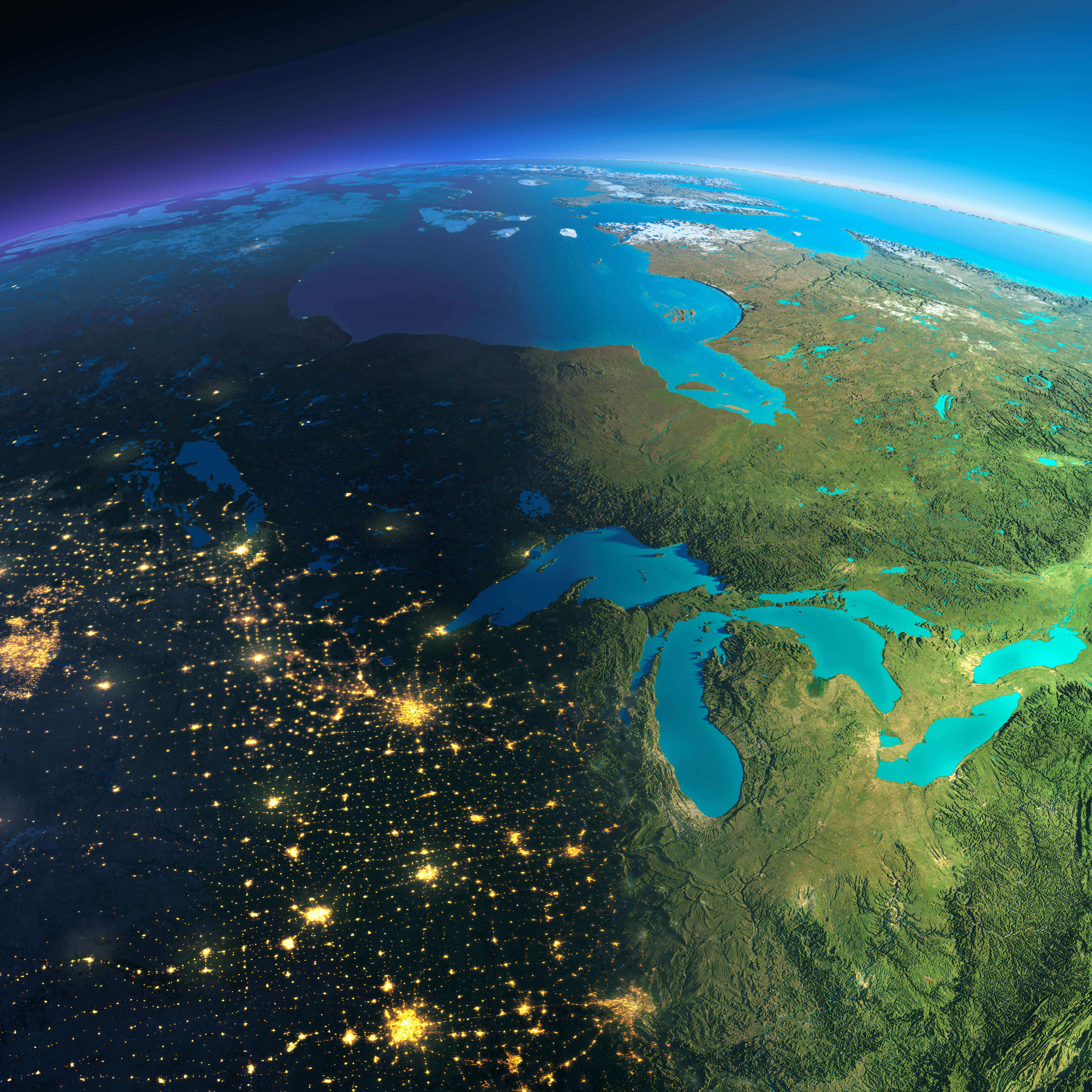
High-resolution United States map in the night
High-resolution United States satellite map
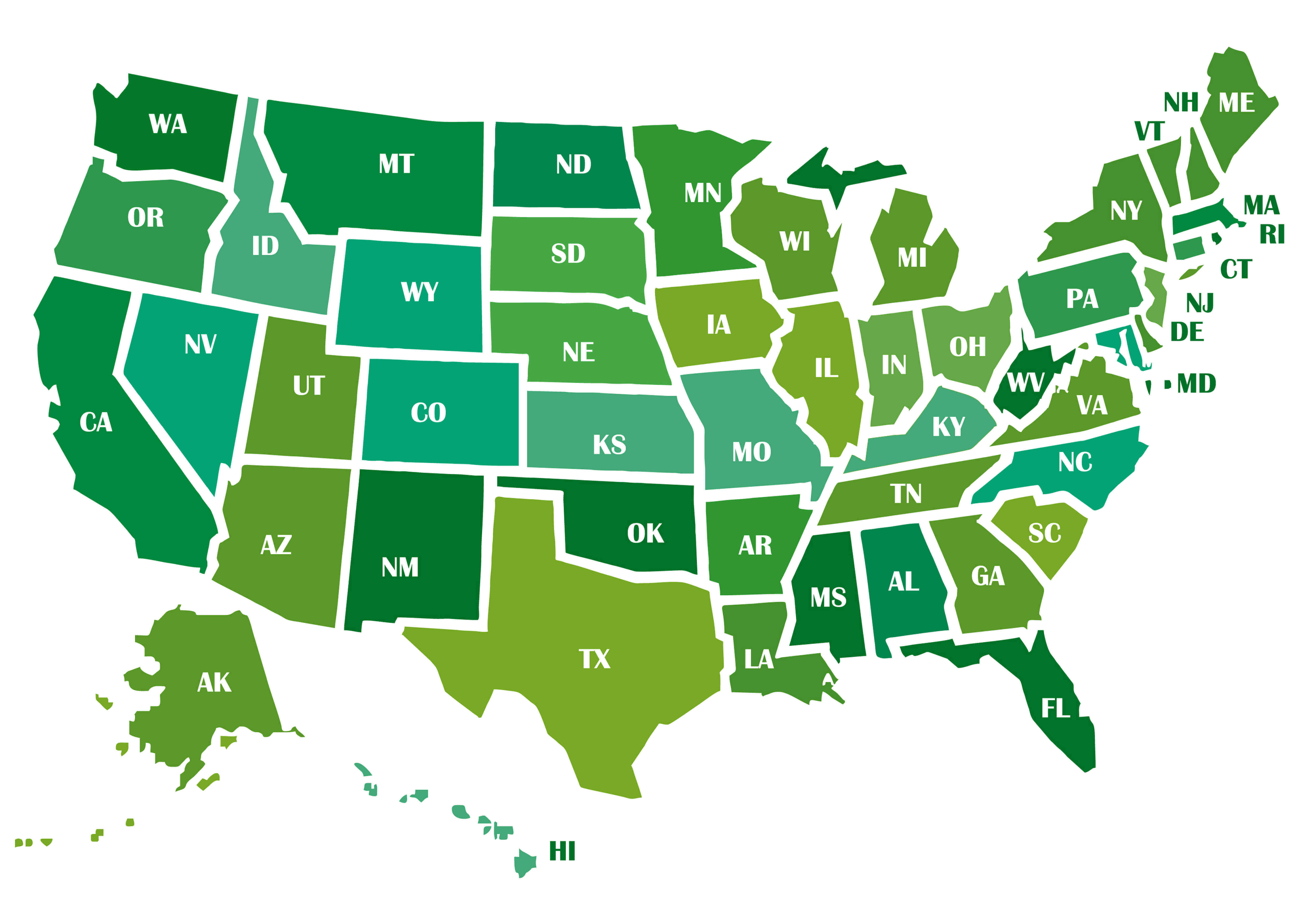
High-resolution United States map with states abbreviations
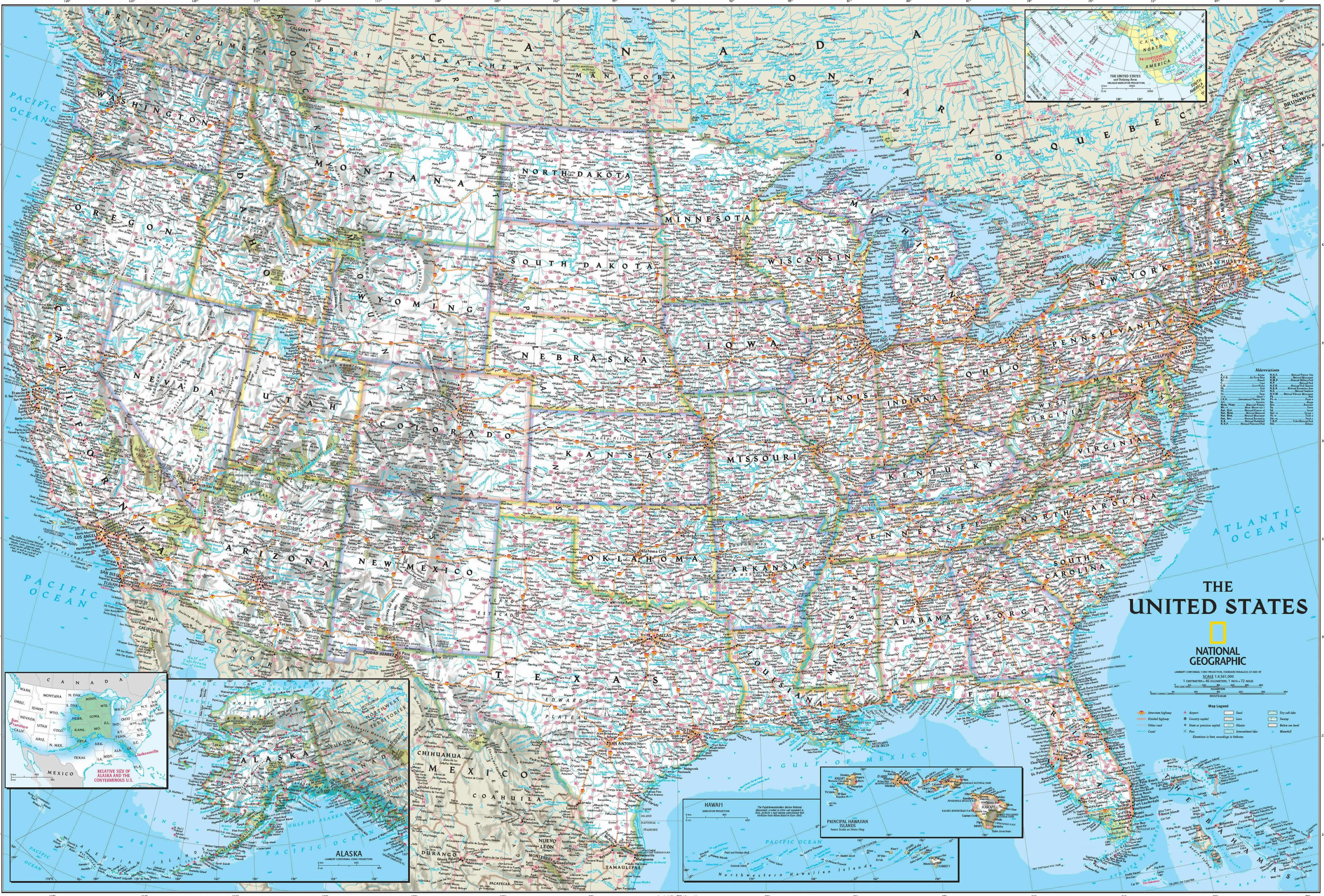
High-resolution United States national geographic map
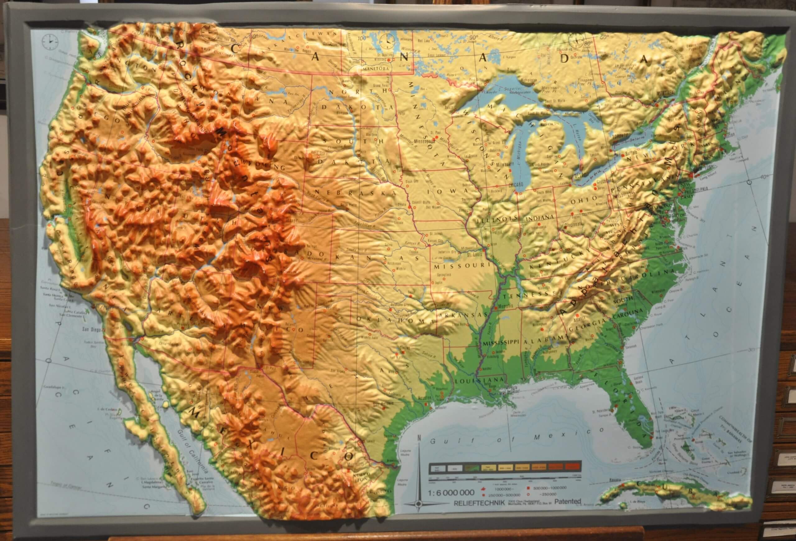
High-resolution United States physical map
High-resolution United States topography map
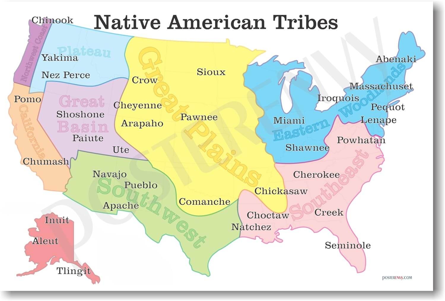
United States native american tribes map
Feel free to explore these pages as well: