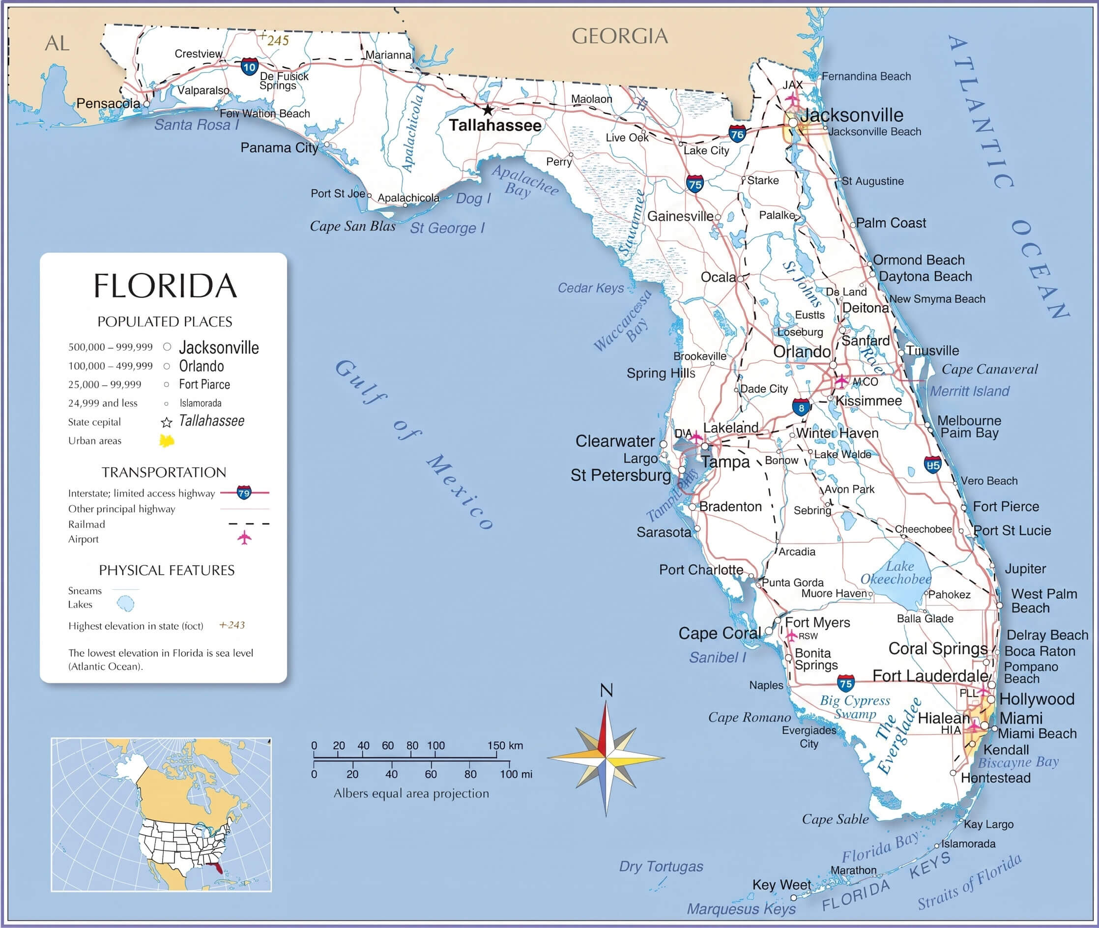
Detailed High-Resolution Florida Map: Cities, Regions, Rivers & Mountains
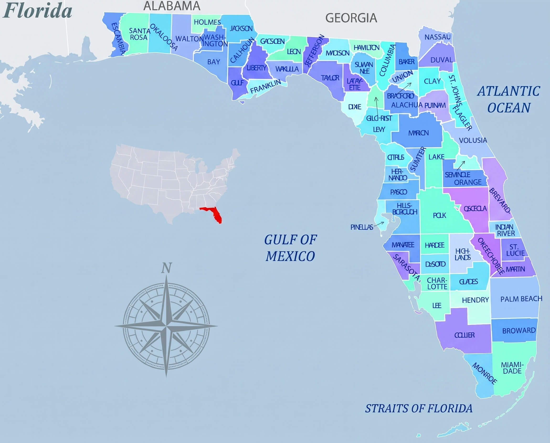
Florida High-Resolution Map page presents an extensive collection of detailed, zoomable maps that allow you to explore the state from every angle. It includes essential administrative visuals such as a Florida administrative counties map, Florida cities and counties map, and Florida county political map, alongside more visually distinctive options like a Florida county map multicolor, Florida regions colored map, and Florida orange theme political map, ensuring a complete overview of Florida"s administrative layout.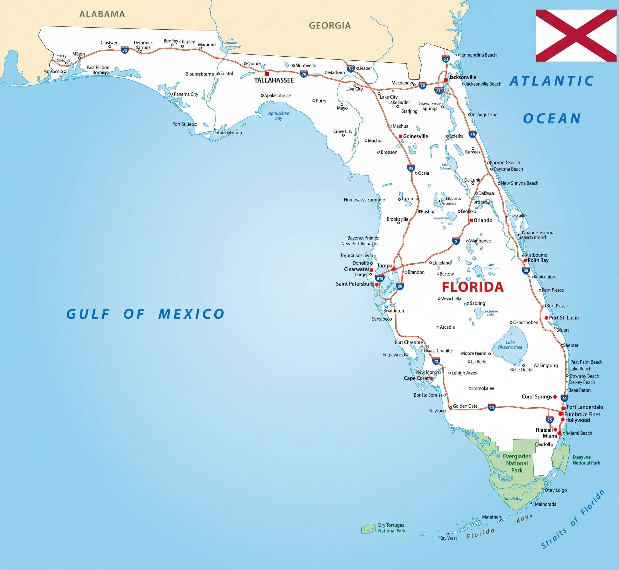
Florida orange theme political map
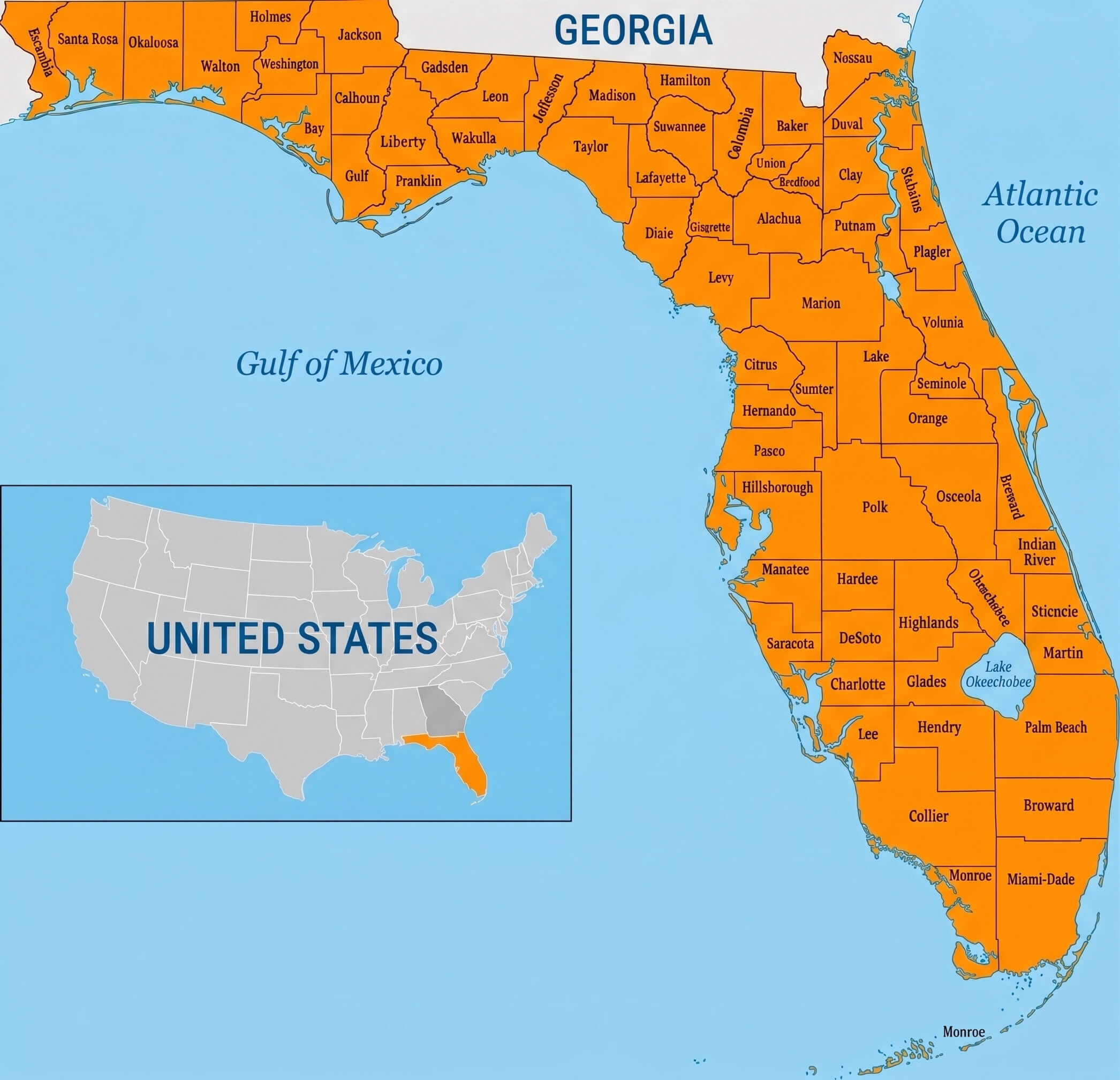
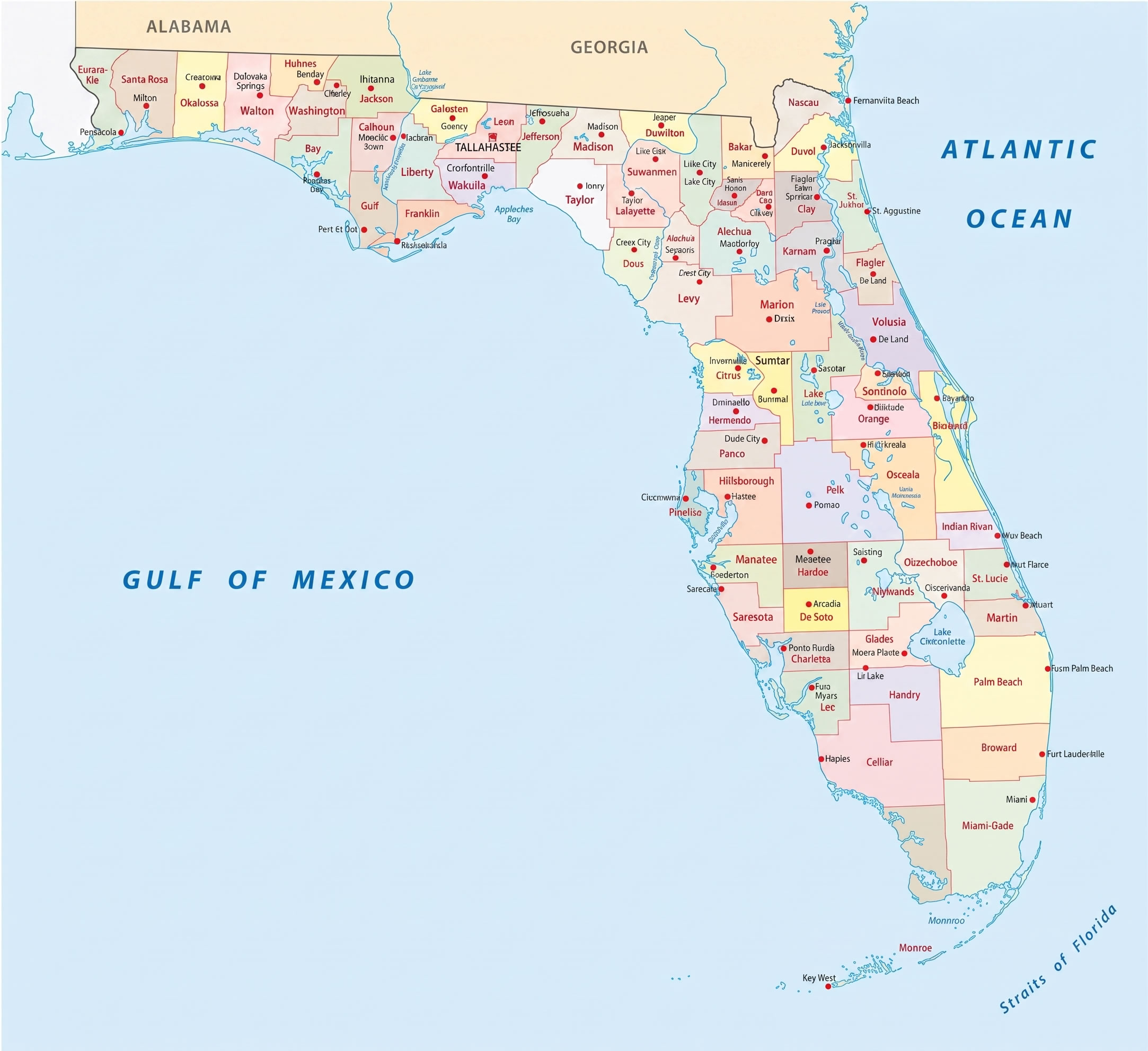
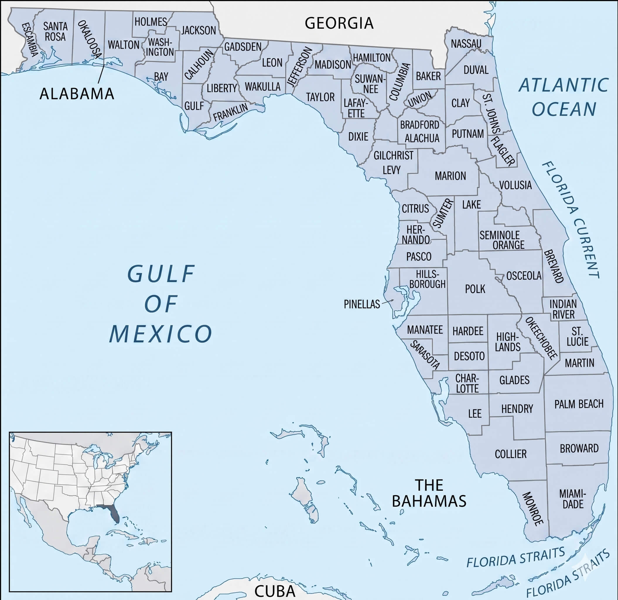
Florida administrative counties map
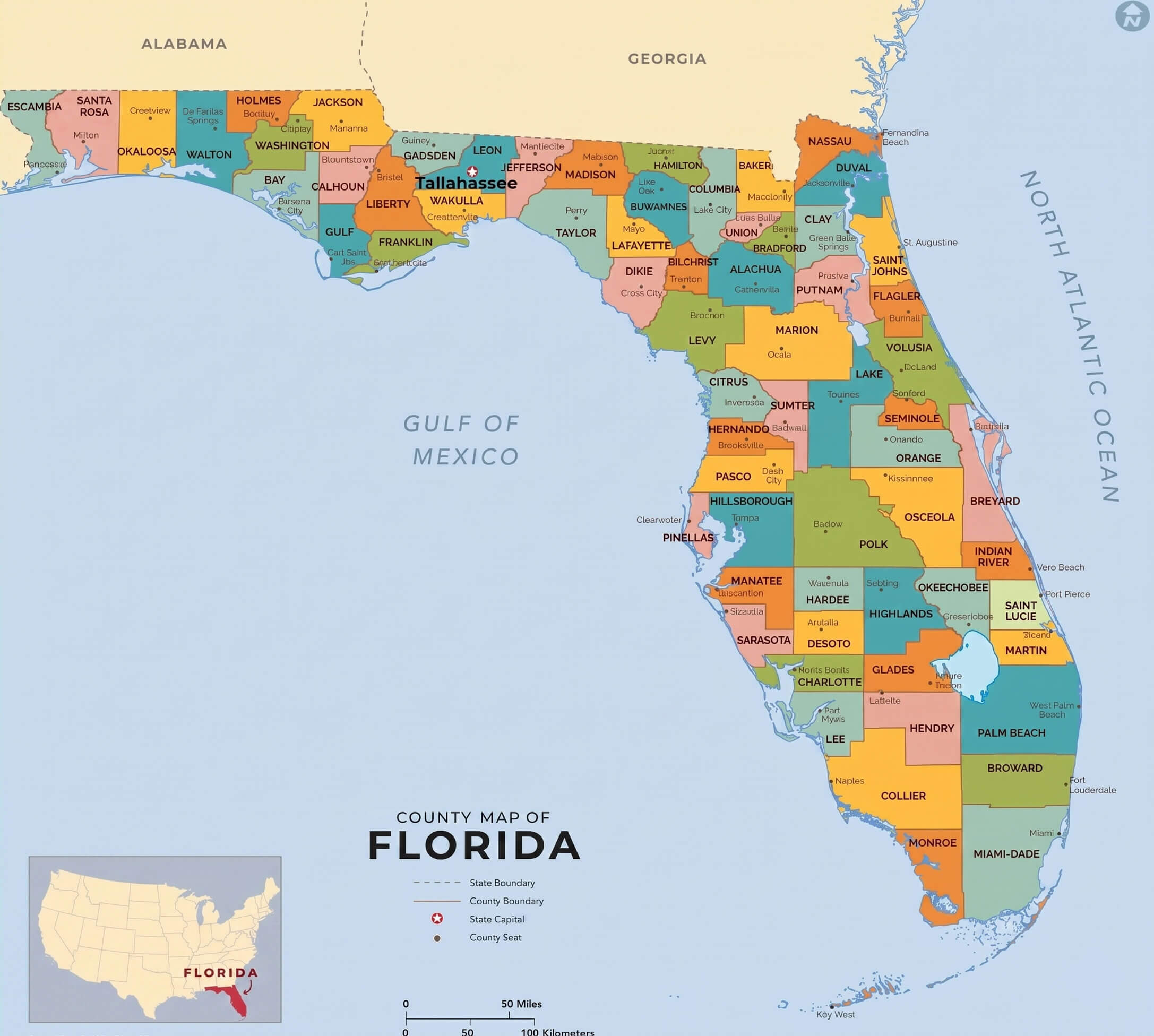
Florida cities and counties map
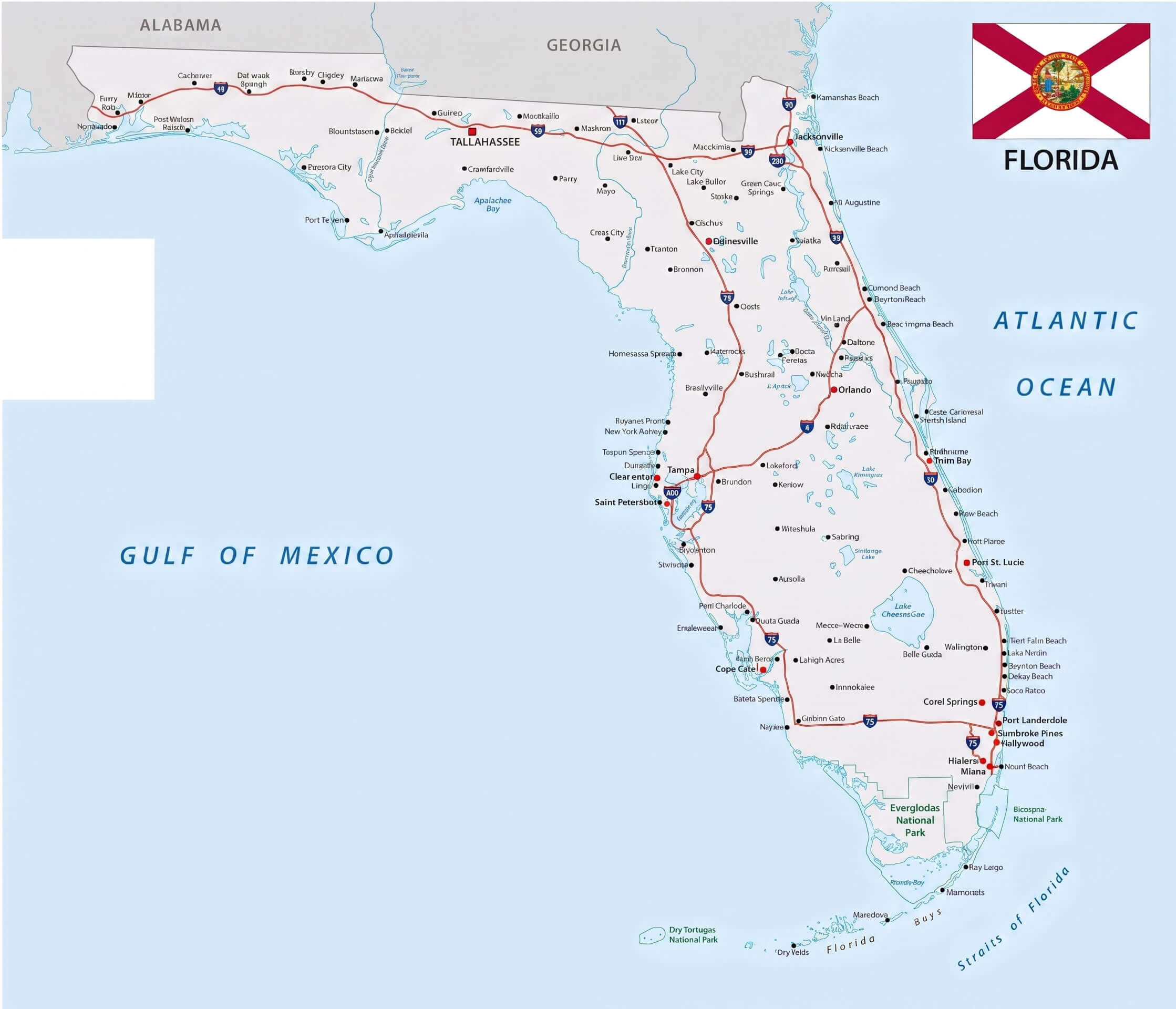
Florida road map with flag
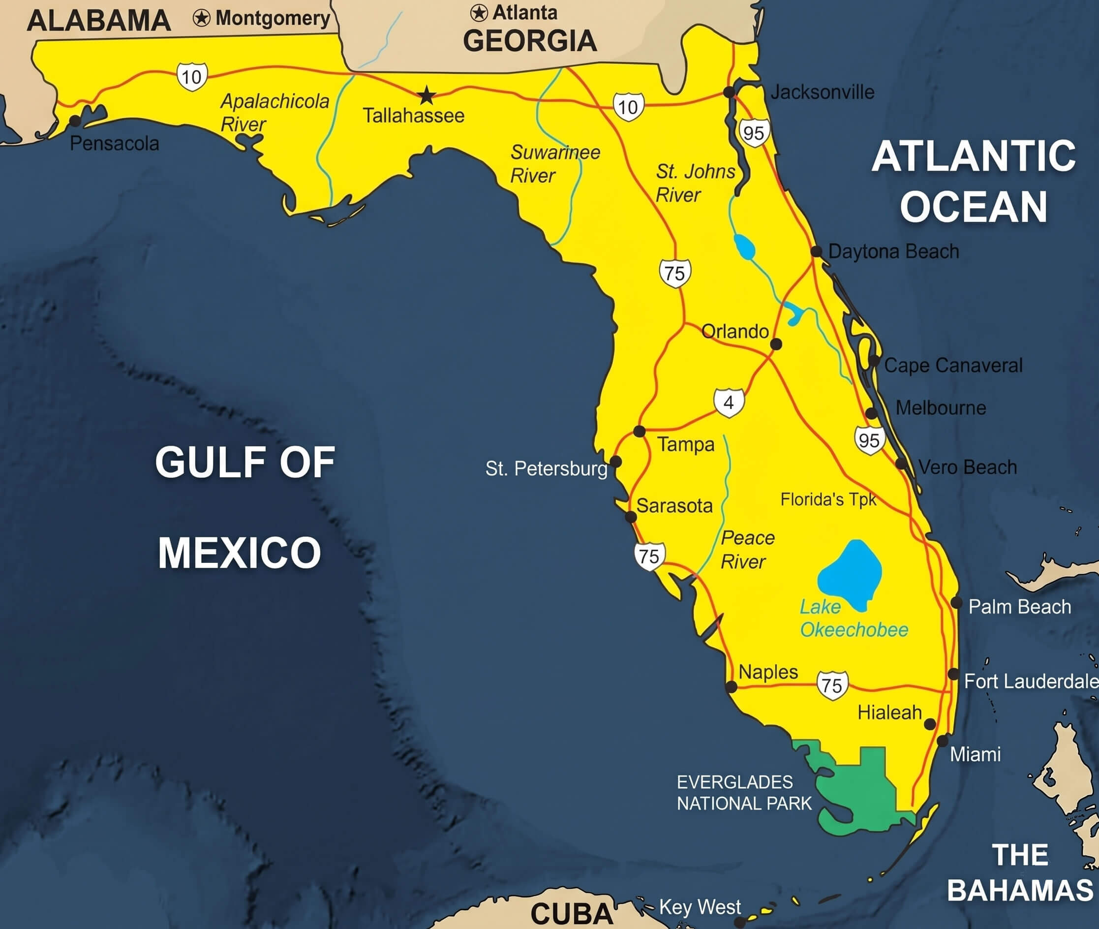
You can also discover geographic and location-based visuals such as a Florida location on USA map highlighted, Florida location on USA map, Florida map with Gulf of Mexico, and a Florida and US satellite weather map. For navigation and travel needs, explore a Florida detailed coastline map, Florida detailed road map coastline, Florida highway map with flag, Florida road and tourist map, and Florida road map with flag, along with a Florida Google style map for modern reference. Additionally, the collection includes a Florida physical map terrain, Florida outline map grey, Florida coastal political map, and a Florida map with flag, making it an all-in-one high-resolution resource for education, travel planning, research, and visual exploration.
Florida detailed coastline map
Florida county map multicolor
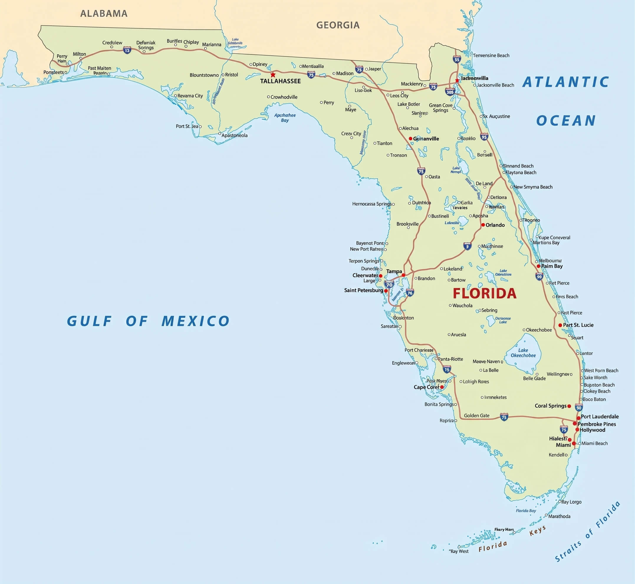
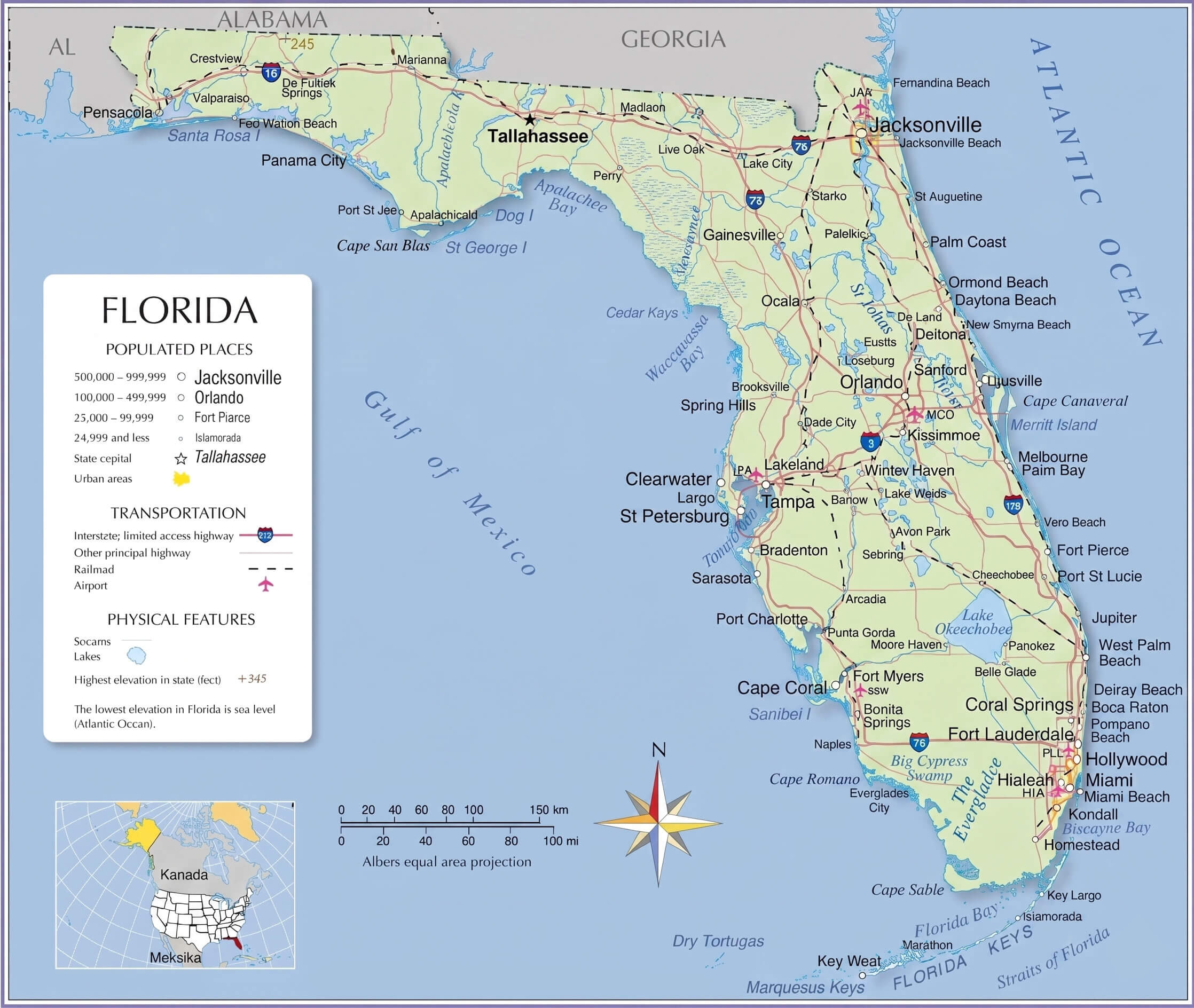
Florida detailed road map coastline
Florida coastal political map
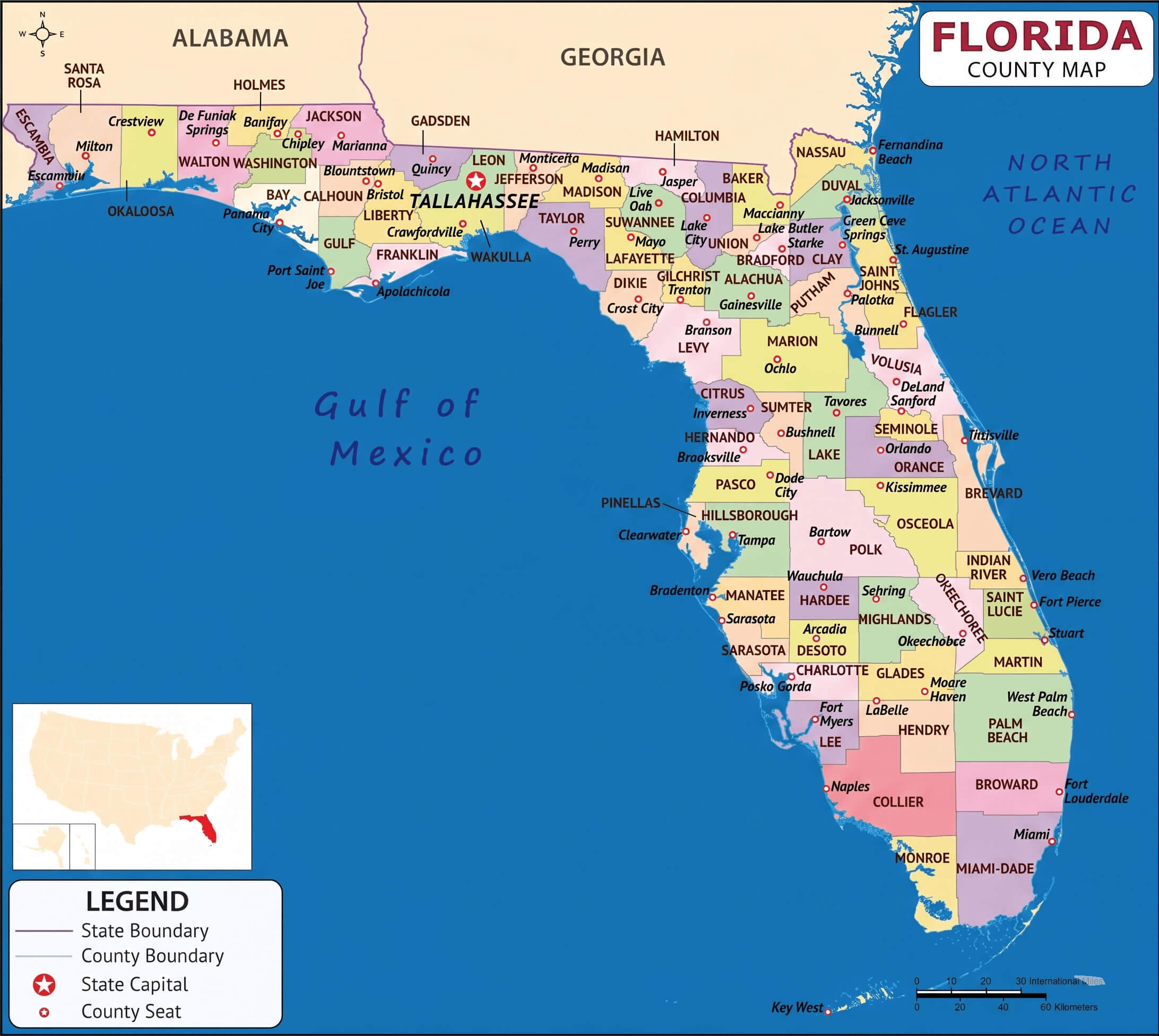
Florida county political map
Florida highway map with flag

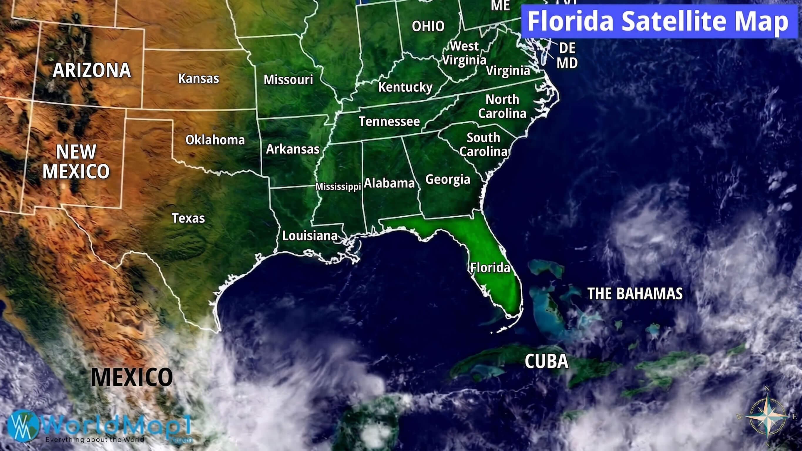
Florida and US satellite weather map
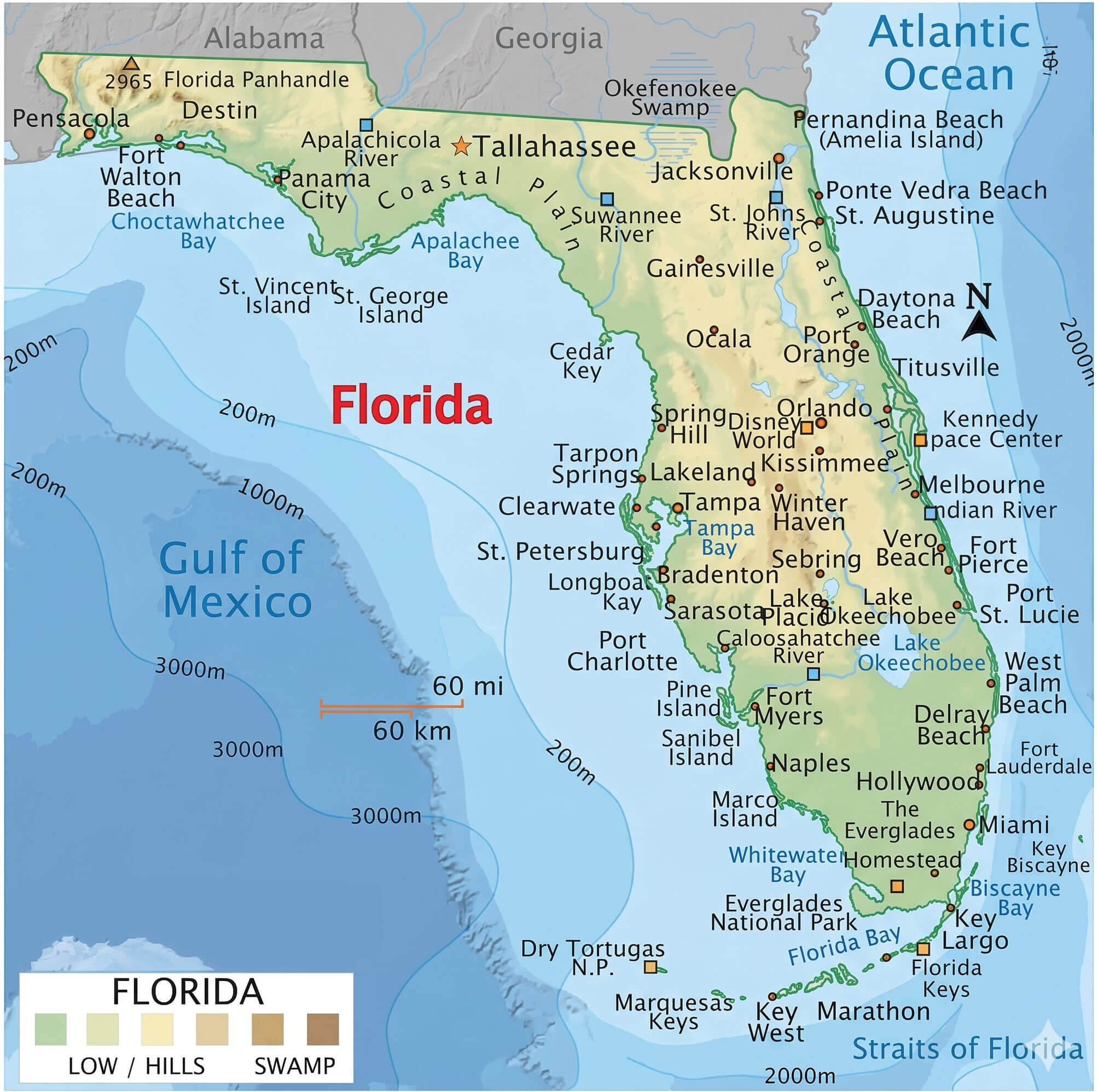
Florida physical map terrain
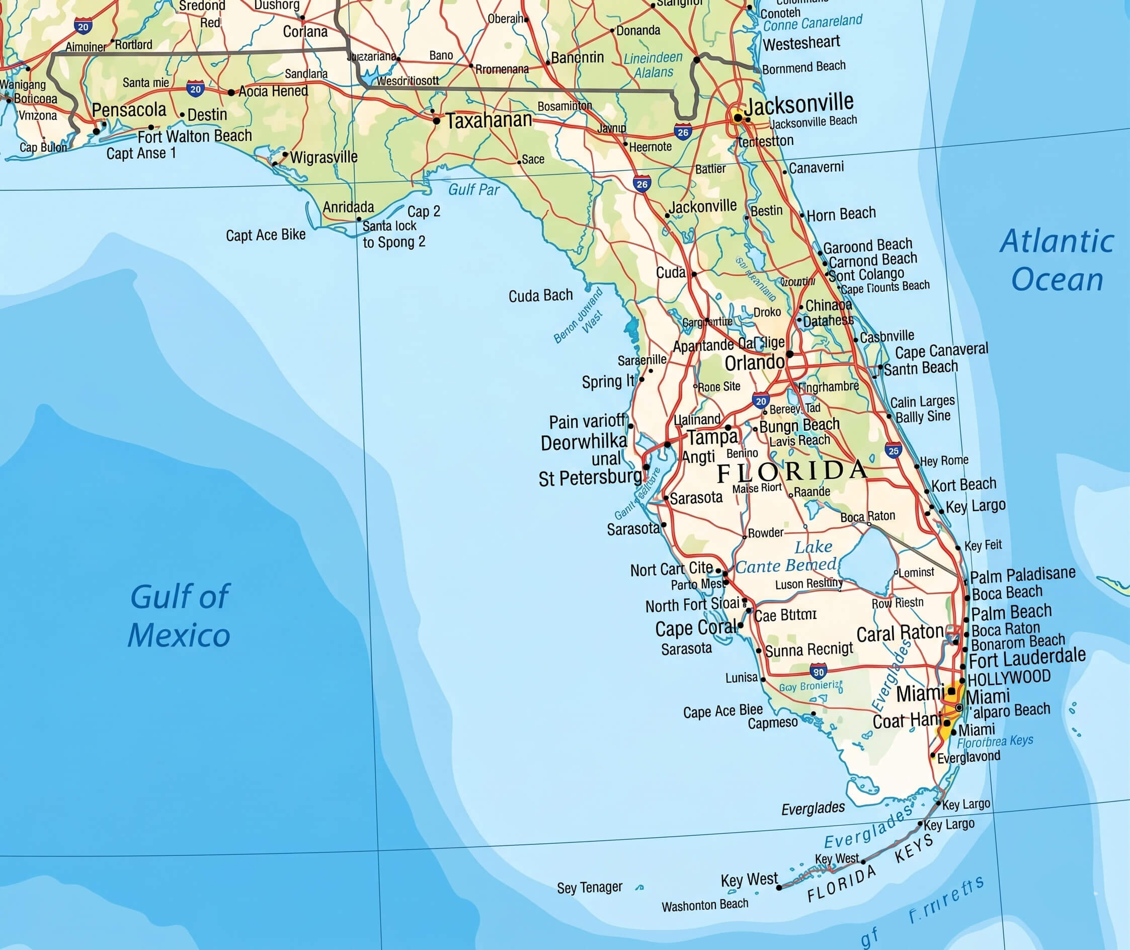
Florida google style map
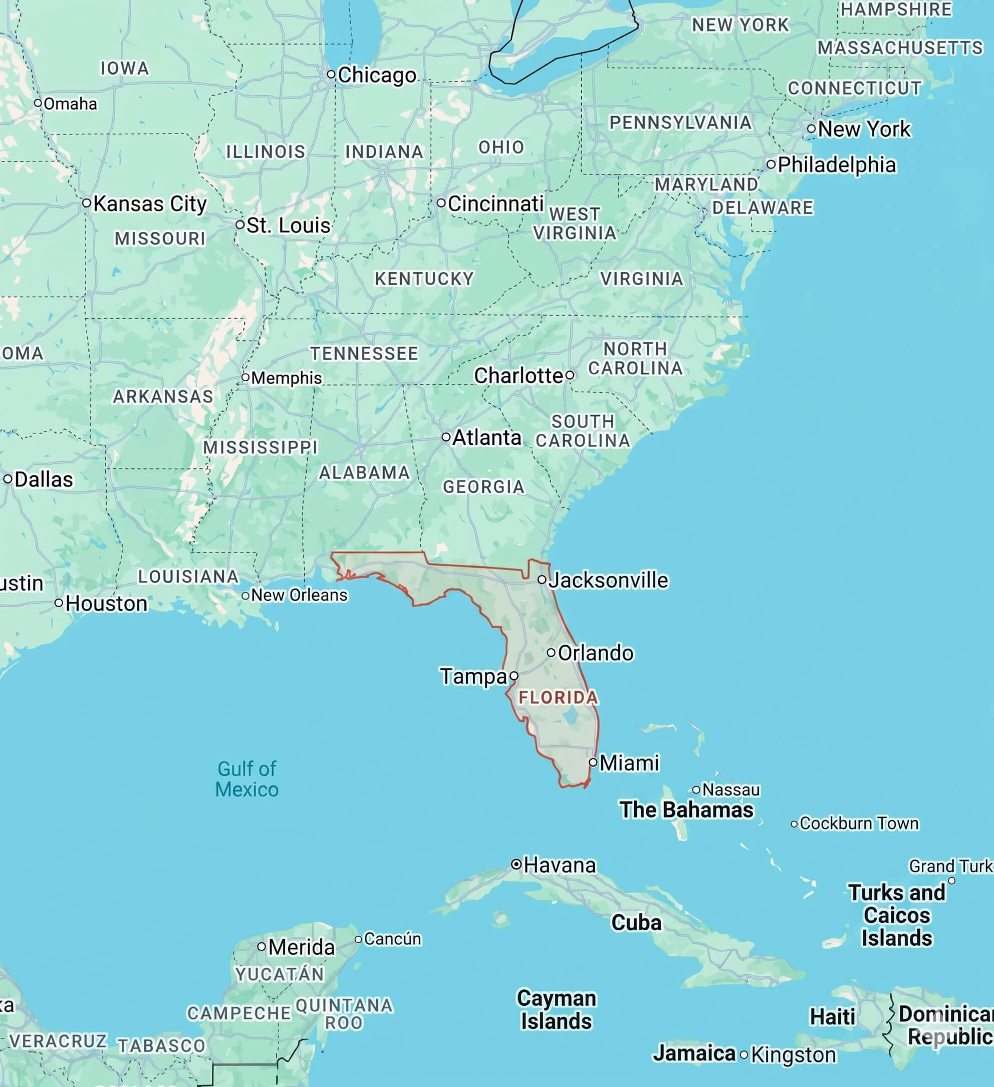
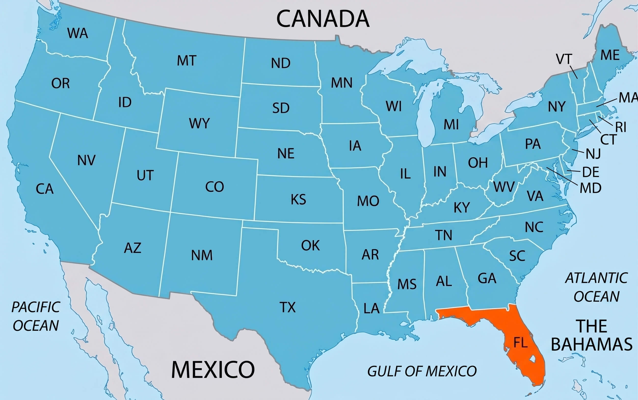
Florida location on USA map highlighted
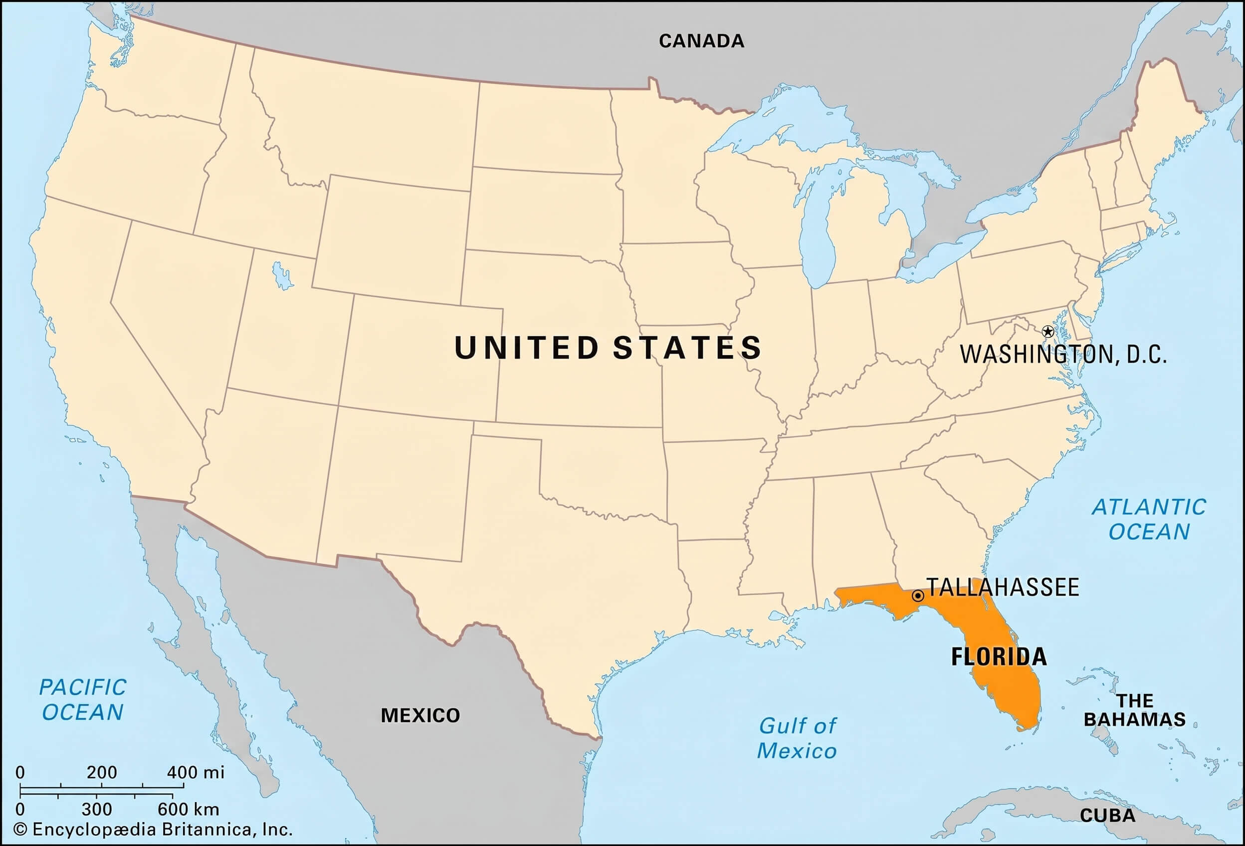
Florida location on USA map
Florida map with flag
Florida map with gulf of Mexico
Florida outline map grey
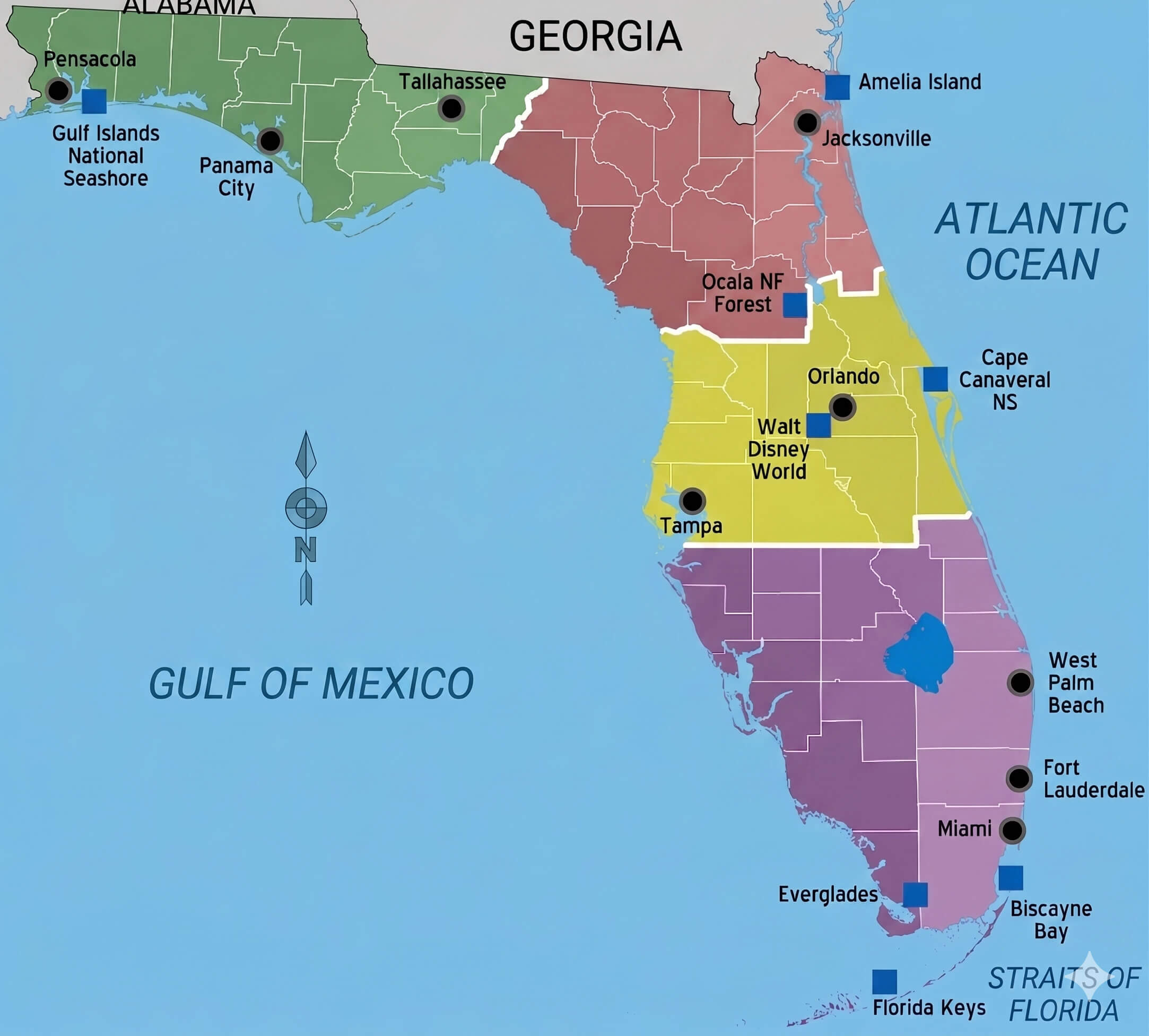
Florida regions colored map
Florida road and tourist map
Florida"s Largest Cities Map:
- Head of Performance Marketing
- Head of SEO
- Linkedin Profile: linkedin.com/in/arifcagrici