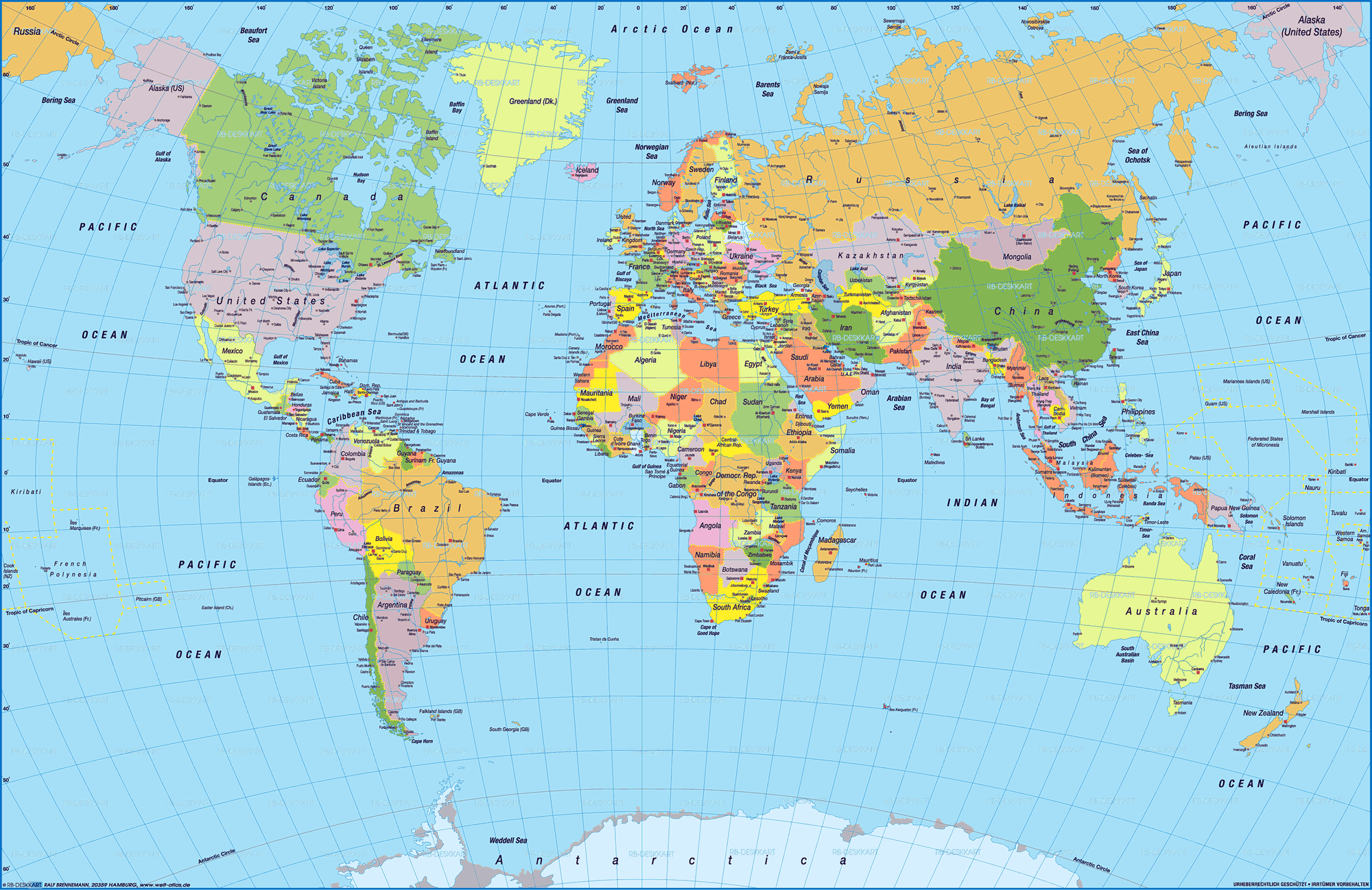
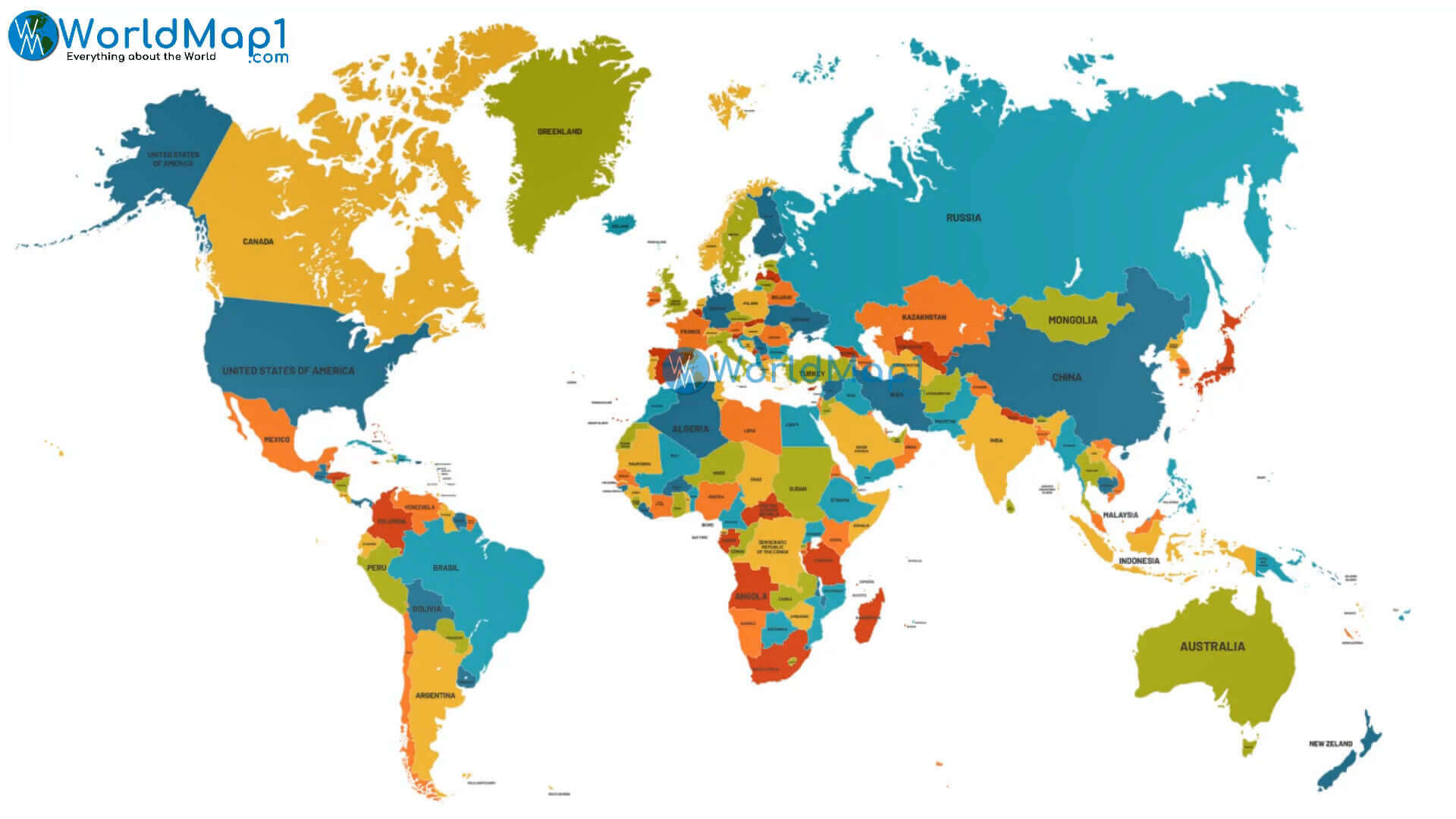
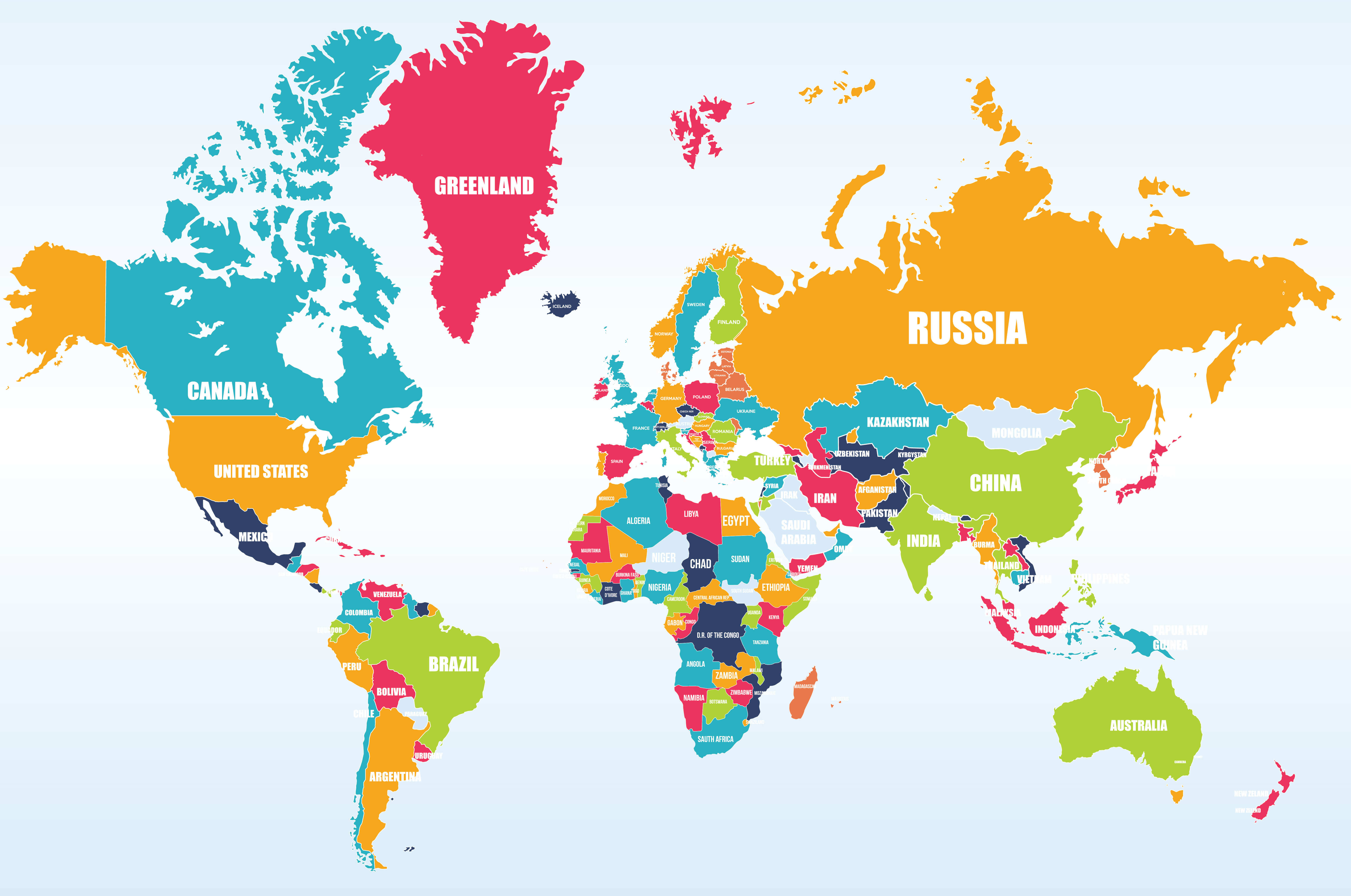
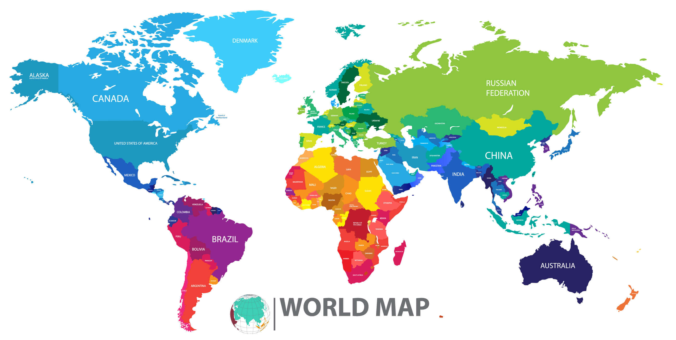
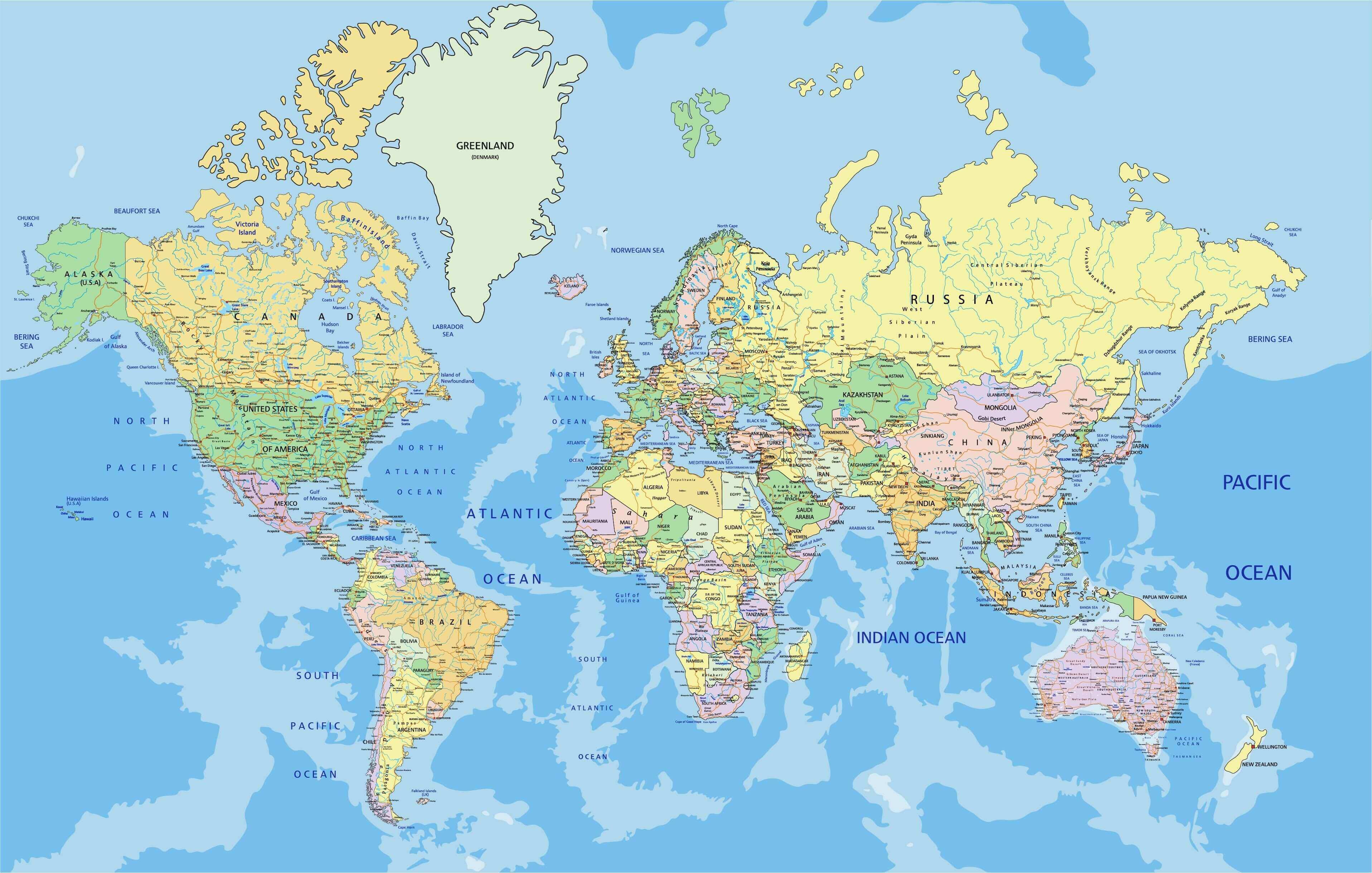
World Political Maps with Countries and Borders
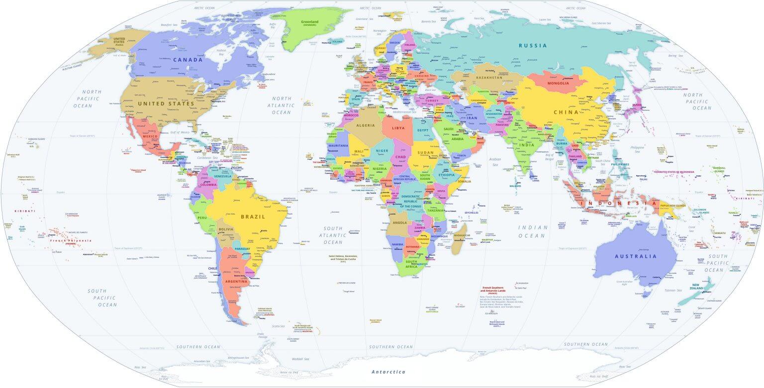 World political map showing countries, capitals, and international borders.
This world political map displays countries, capitals, and international borders with clear labeling. It’s ideal for educational use, travel planning, or presentations. The colorful design helps easily distinguish nations, making it a perfect reference for geography students, teachers, and global researchers.
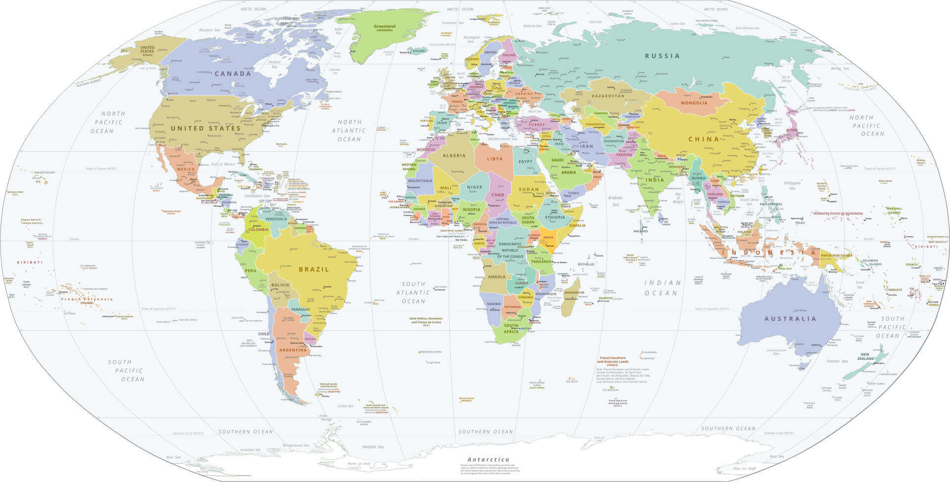
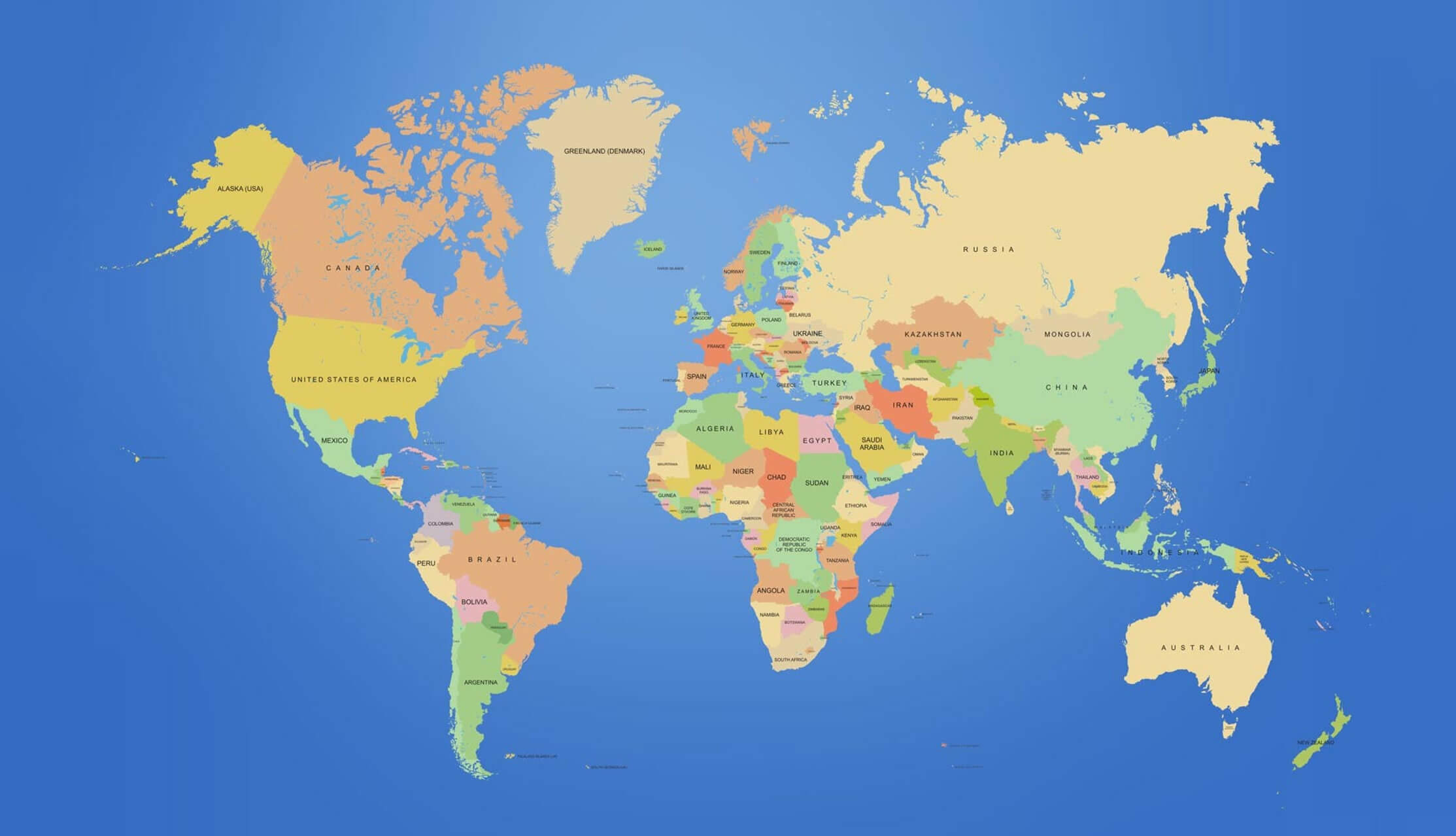
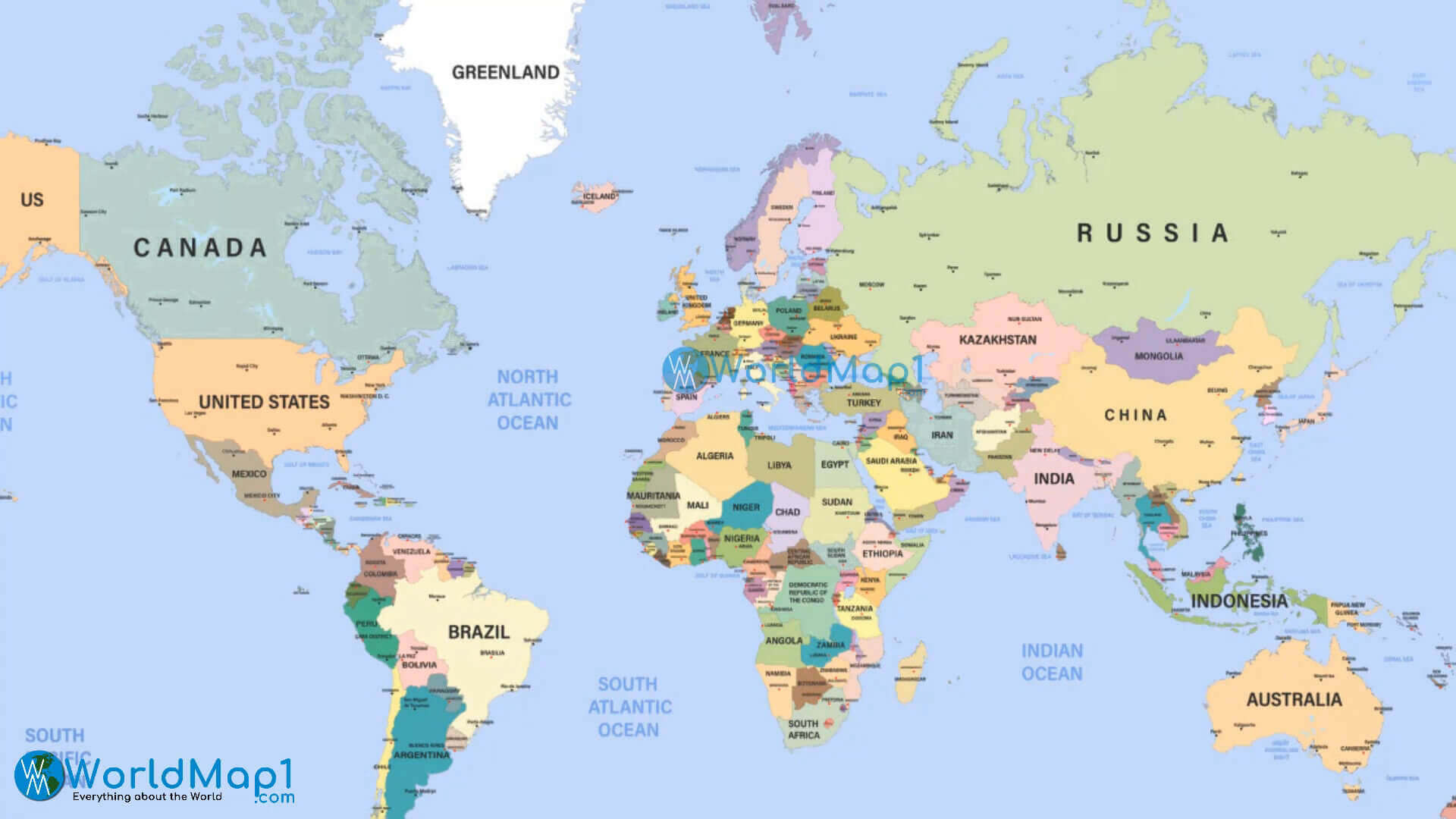
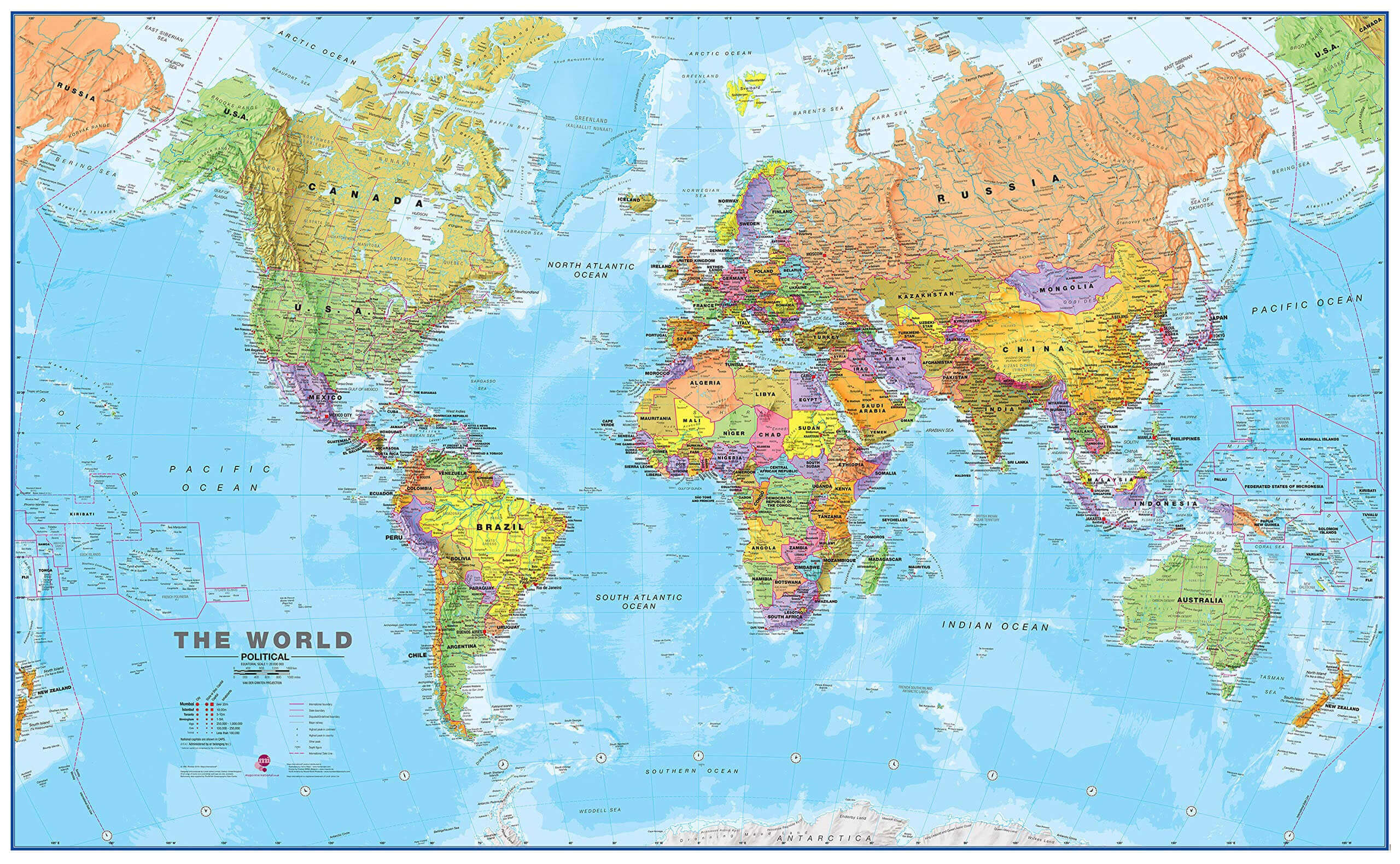
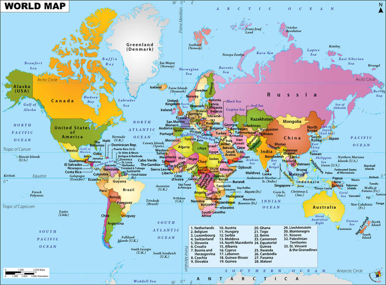
Political Map of the World with Countries and Major Cities
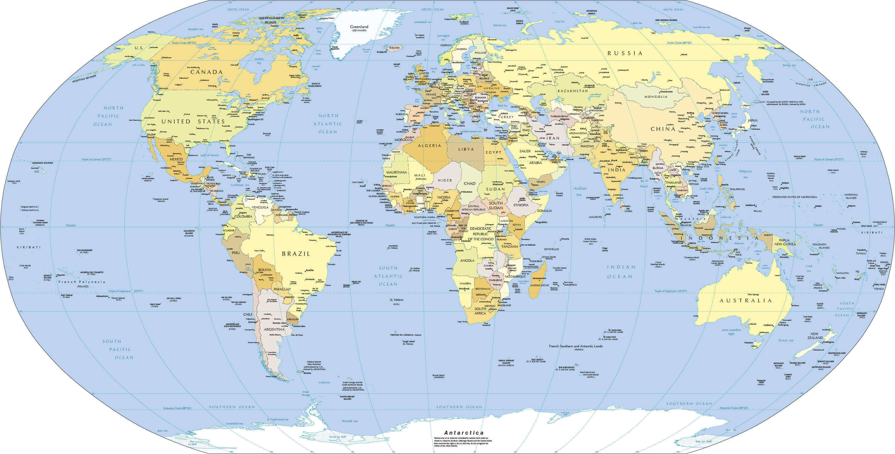 World political map with countries, capitals, and major cities labeled.
This political map of the world shows all countries, capitals, and major cities with clear boundaries and labeling. Ideal for students, travelers, and professionals, it provides a detailed view of global geography, helping users understand international borders and important urban centers at a glance.
Politic World map
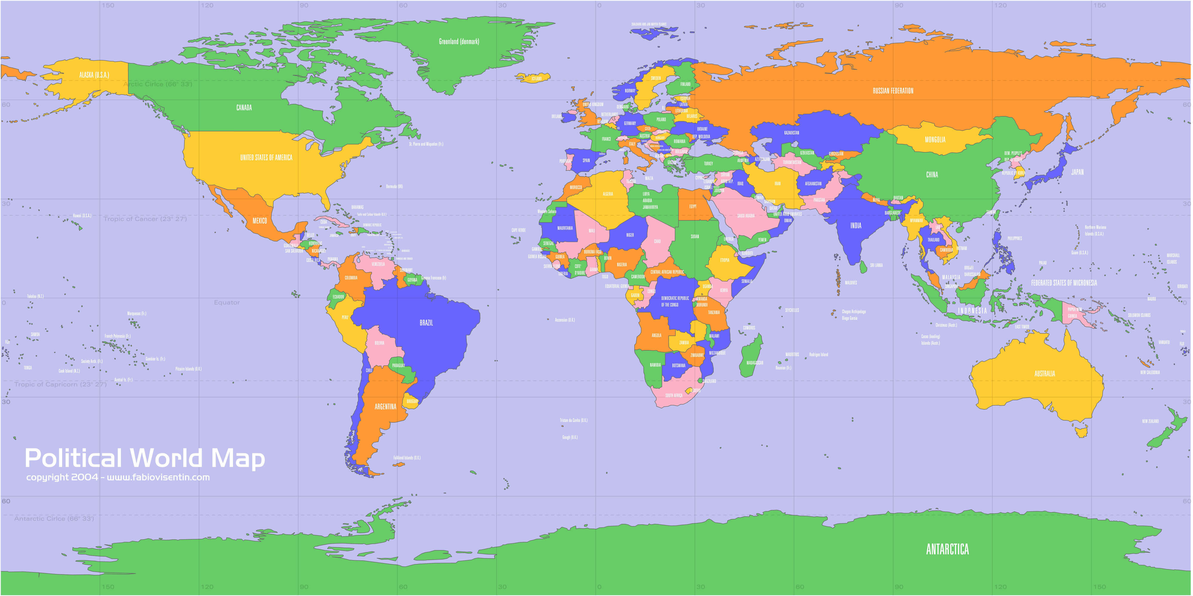
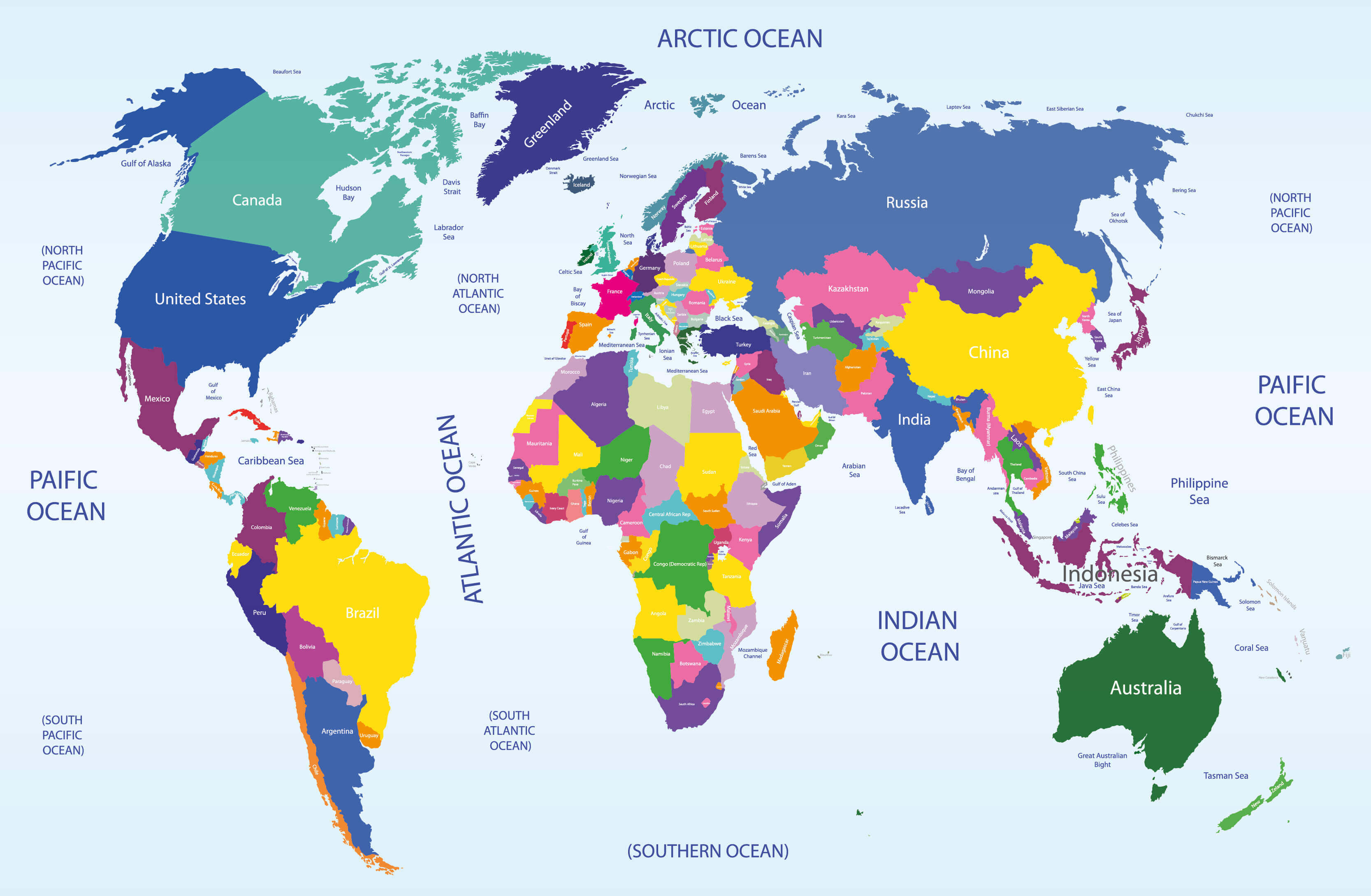
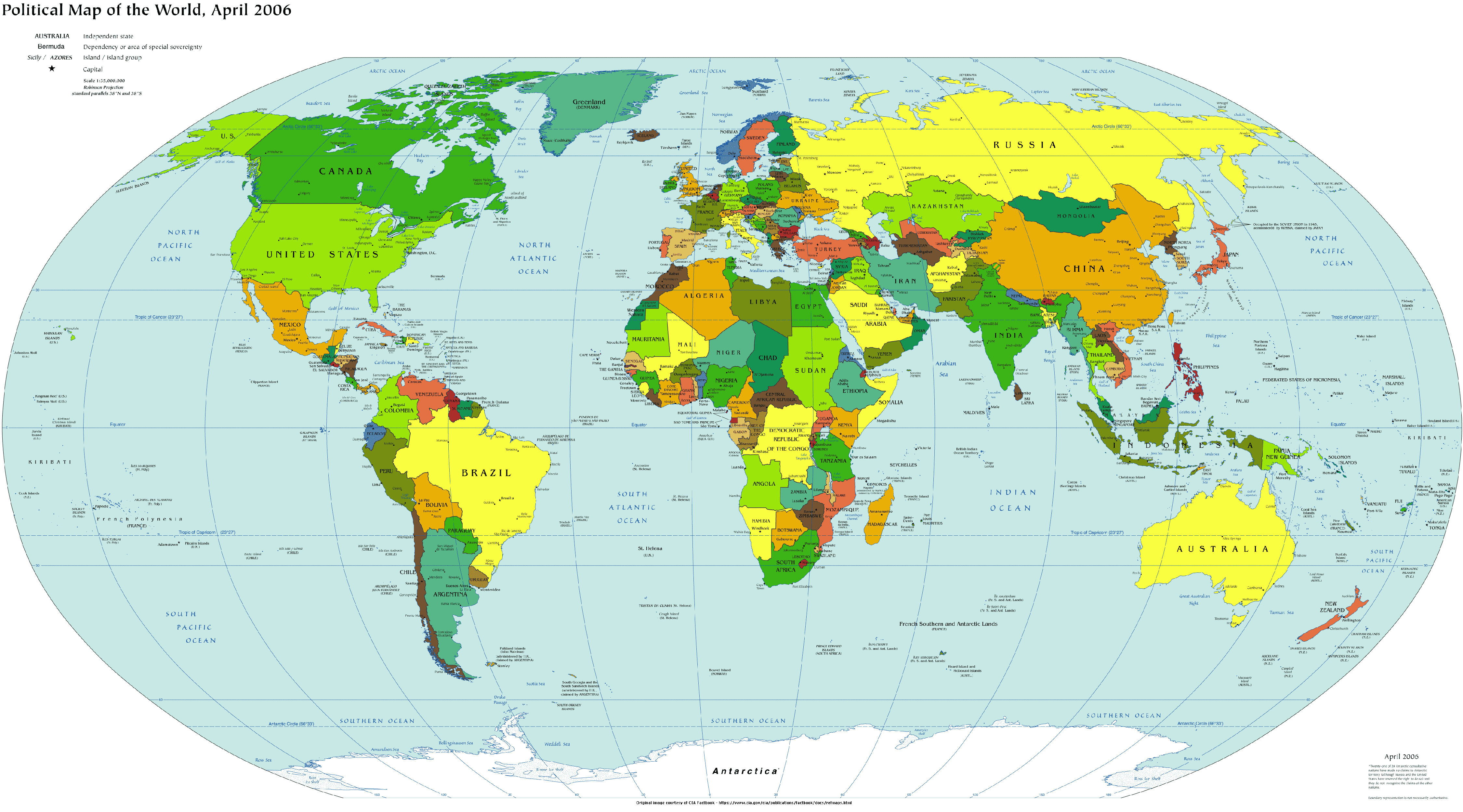
Political map of the World by country and oceans
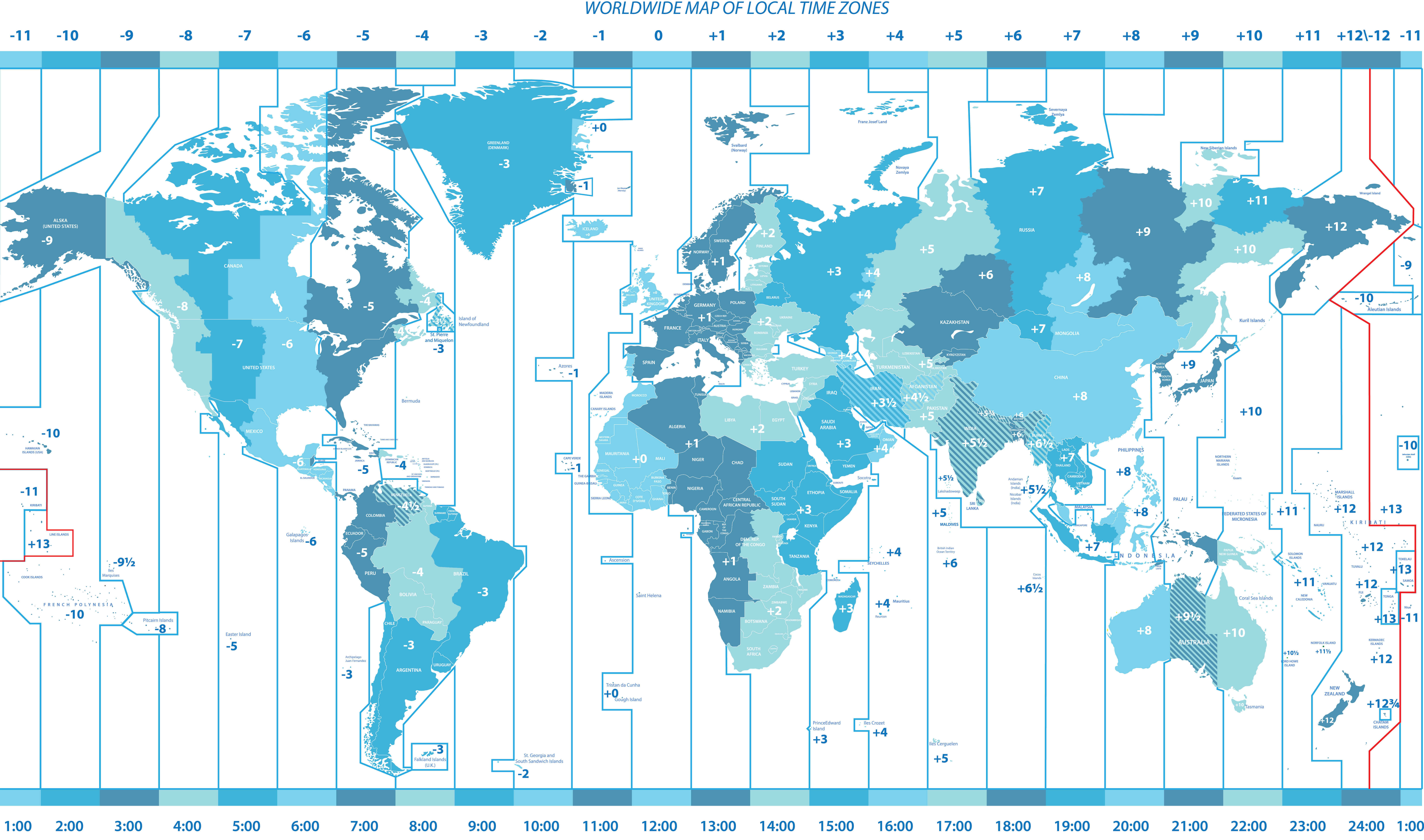
Worldwide political map of local time zones
Political map of the World by country
Political map of the World with country names
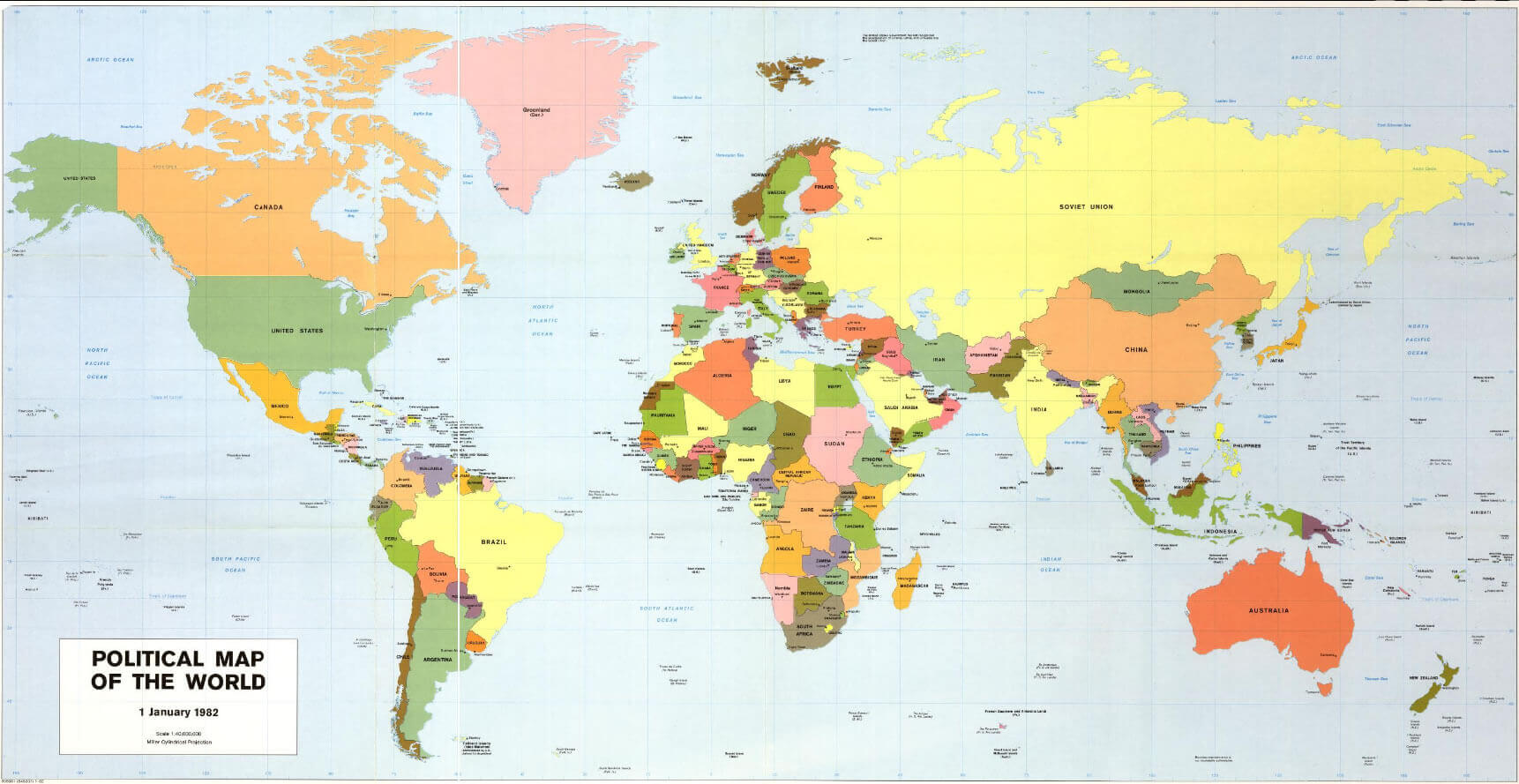
Political map of the World
Political map of the World
World politics map
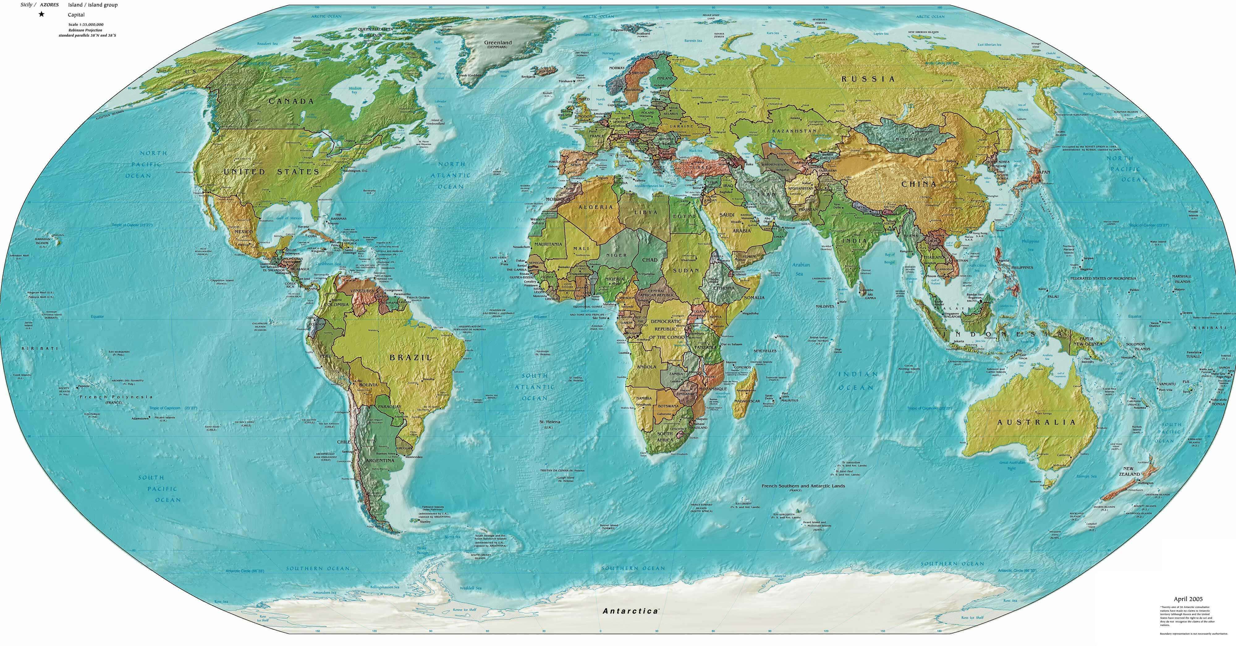
Political physical map of the World
Politics map of the World
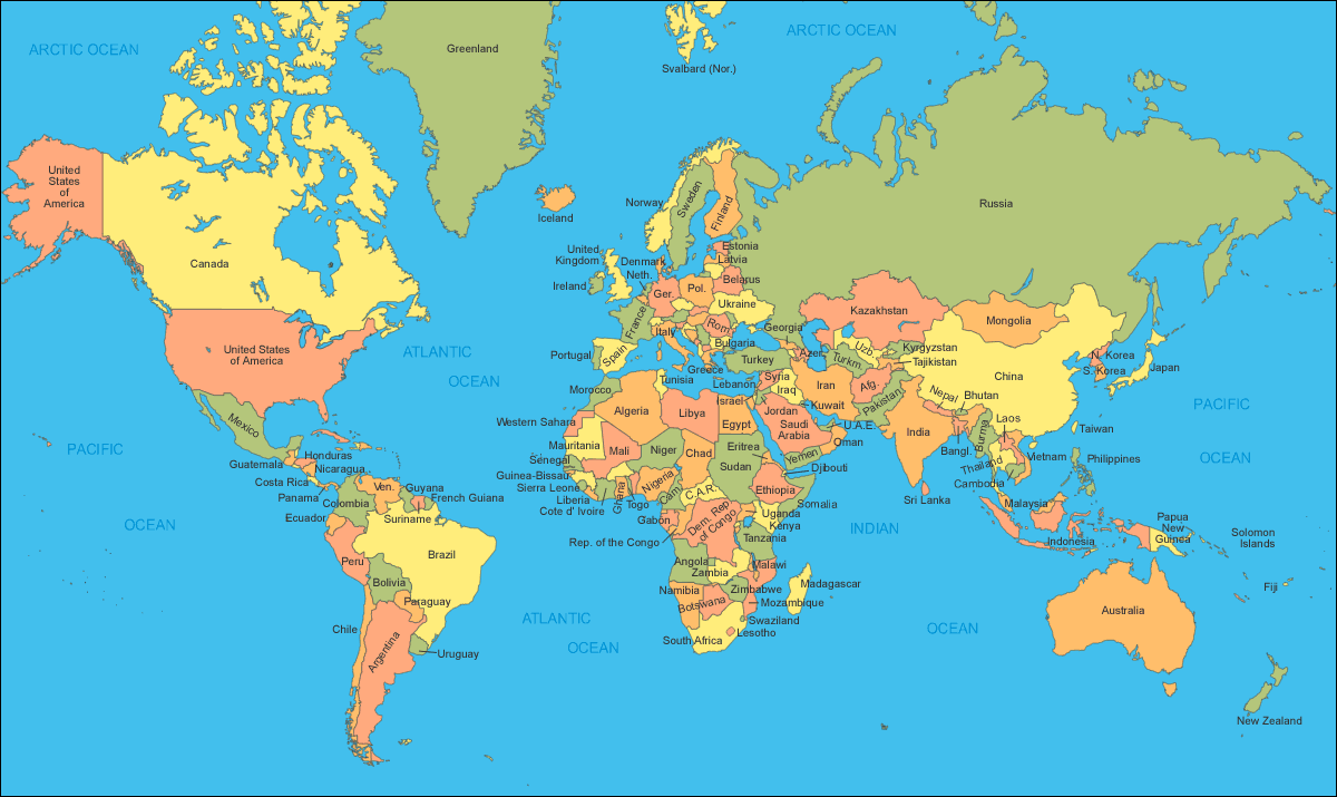
World countries politcal map by country
World countries political map
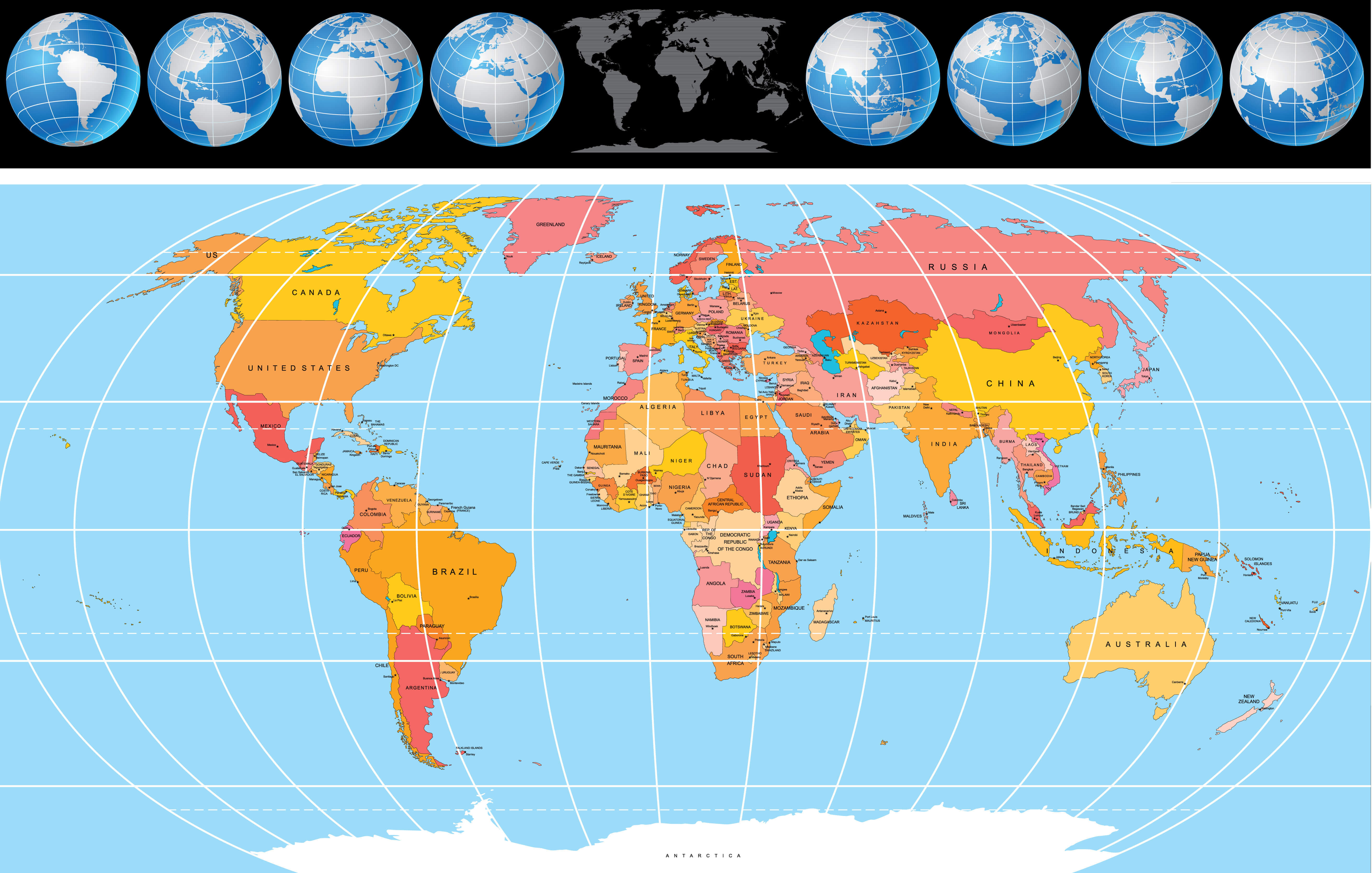
World globe politics map
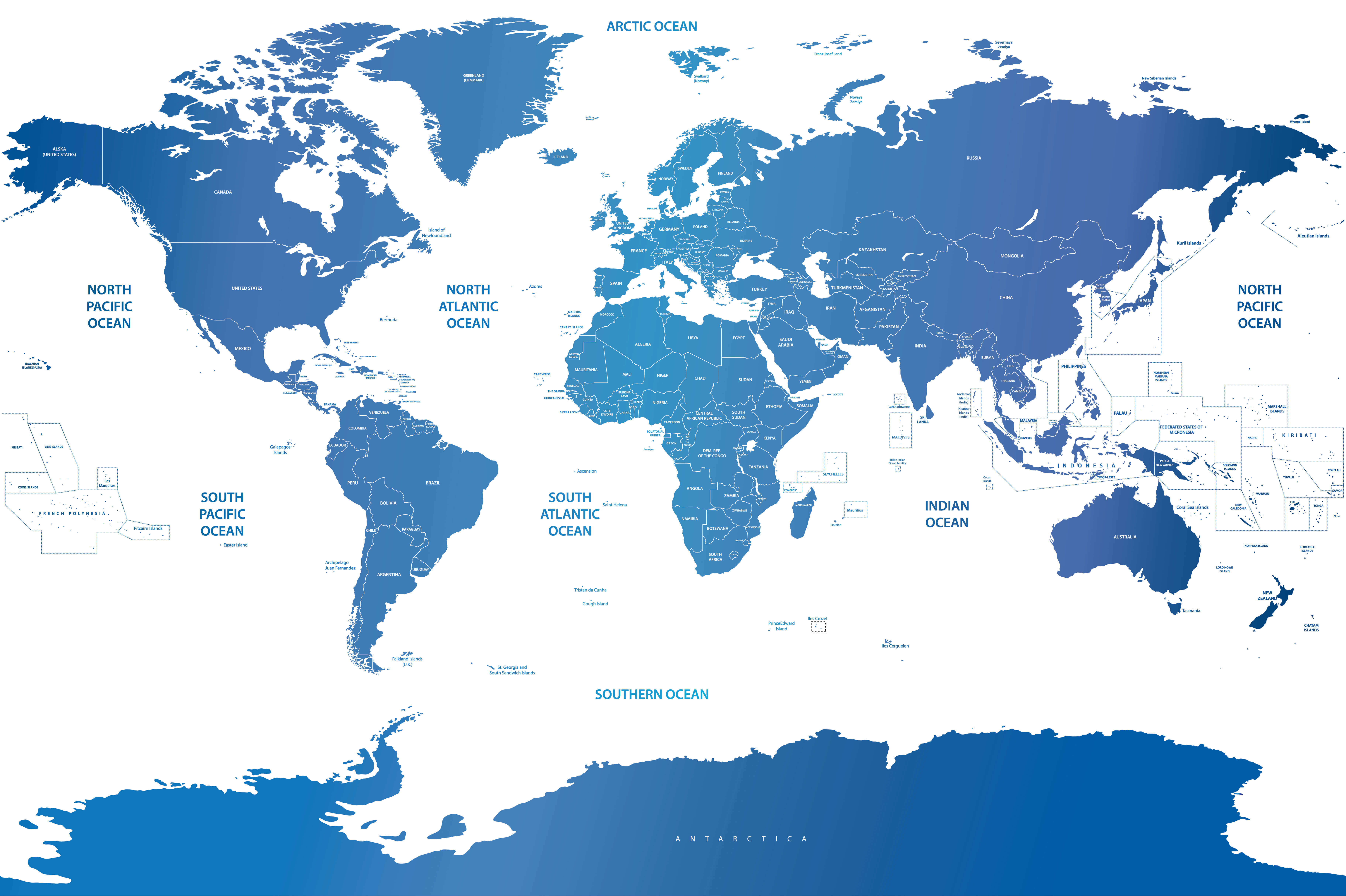
World politics map with arctic and southern ocean
World map political
World map
World map
World national and political map
World political blank map
World political map English
World political map with countries
World political map with national borders
World political map
World political maps
Feel free to explore these pages as well: