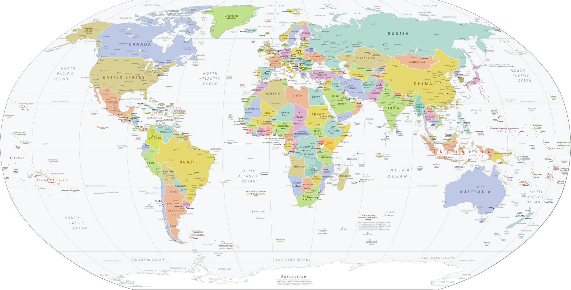
World Political Map with Countries
A clean political overview with country names and international borders.
View map →
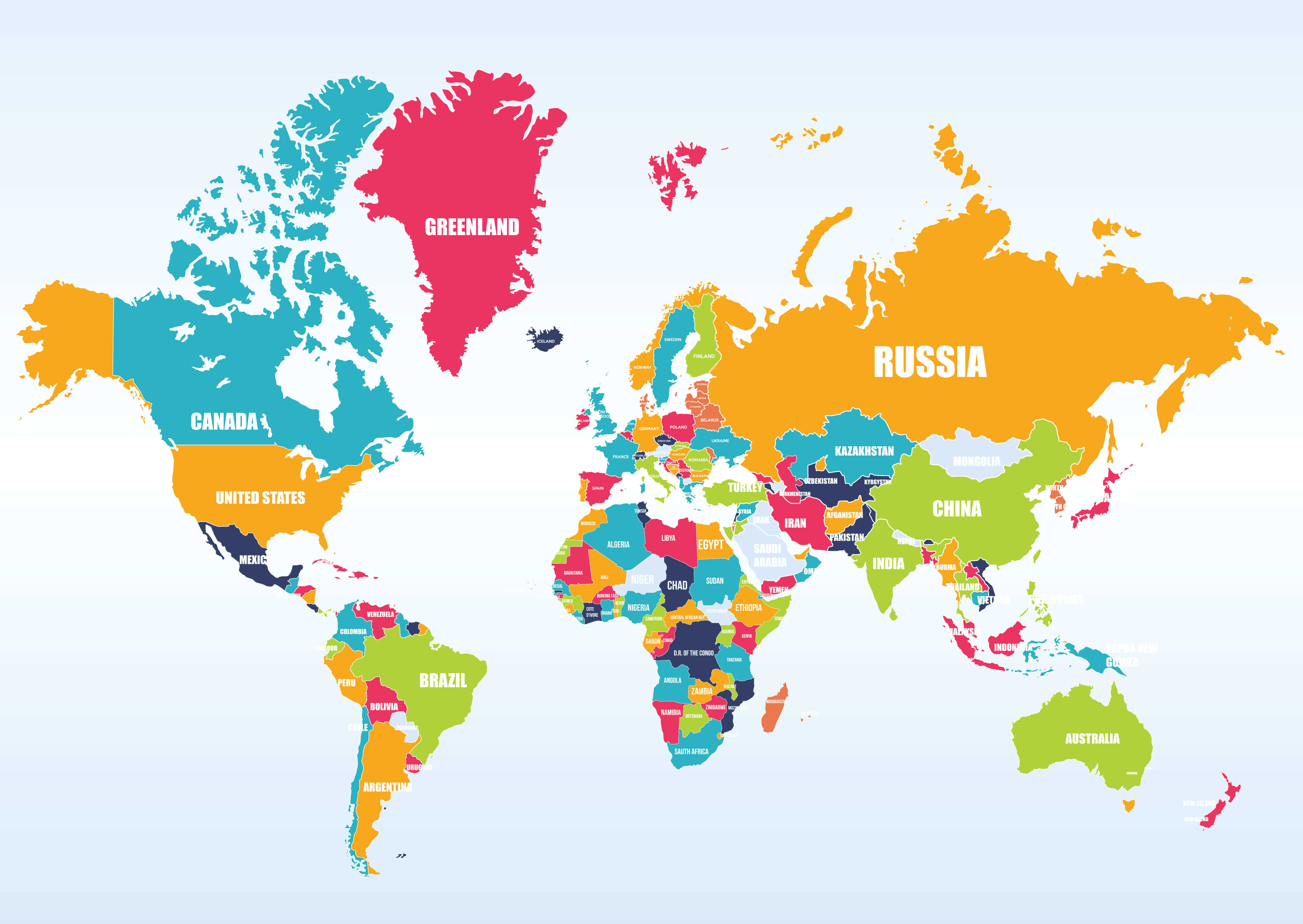
Explore detailed political, physical, satellite, country, high-resolution, time-zone and printable maps of the world. Start with our featured maps below, or choose a map type to quickly find the version that best matches your purpose.
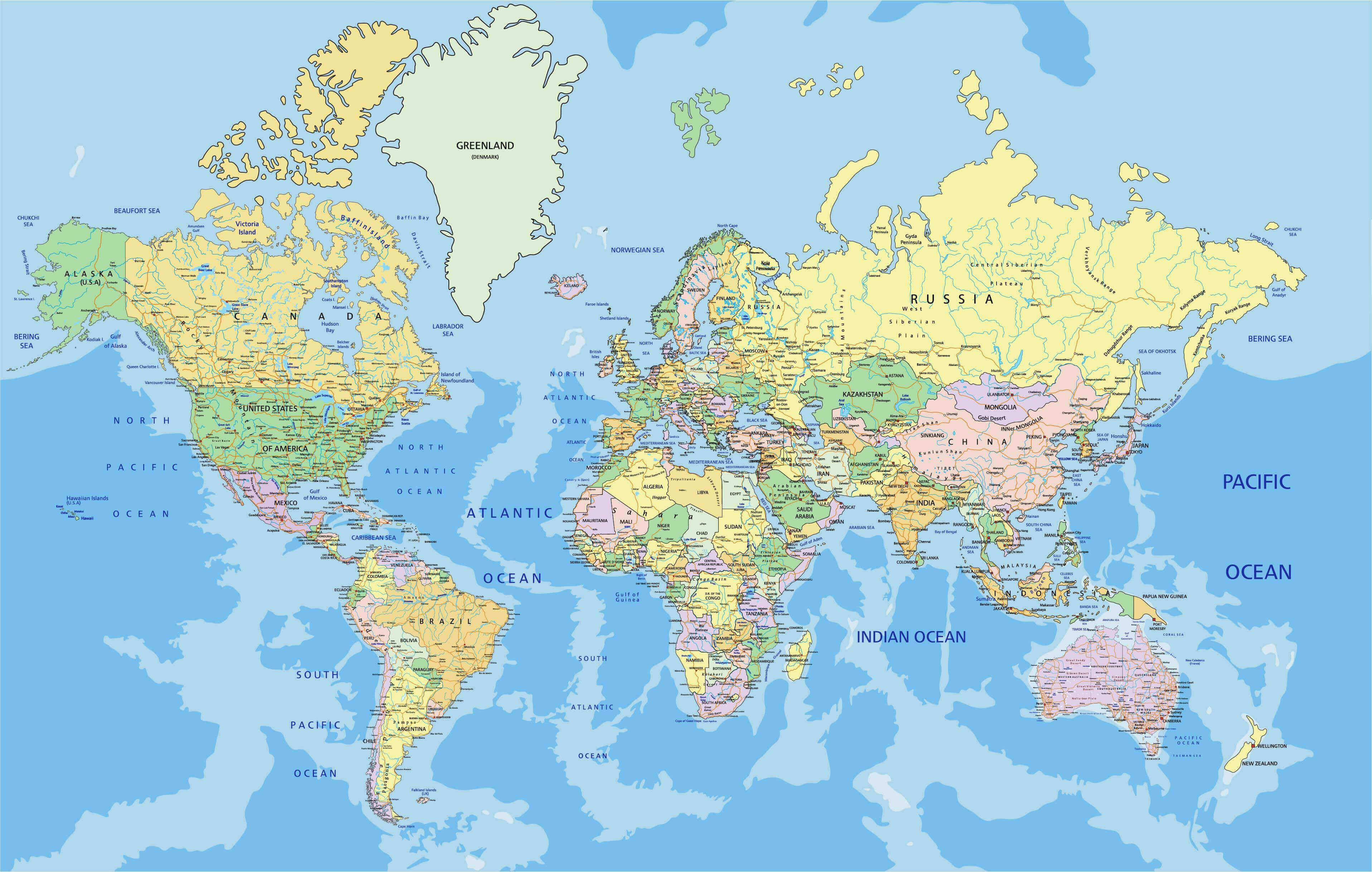
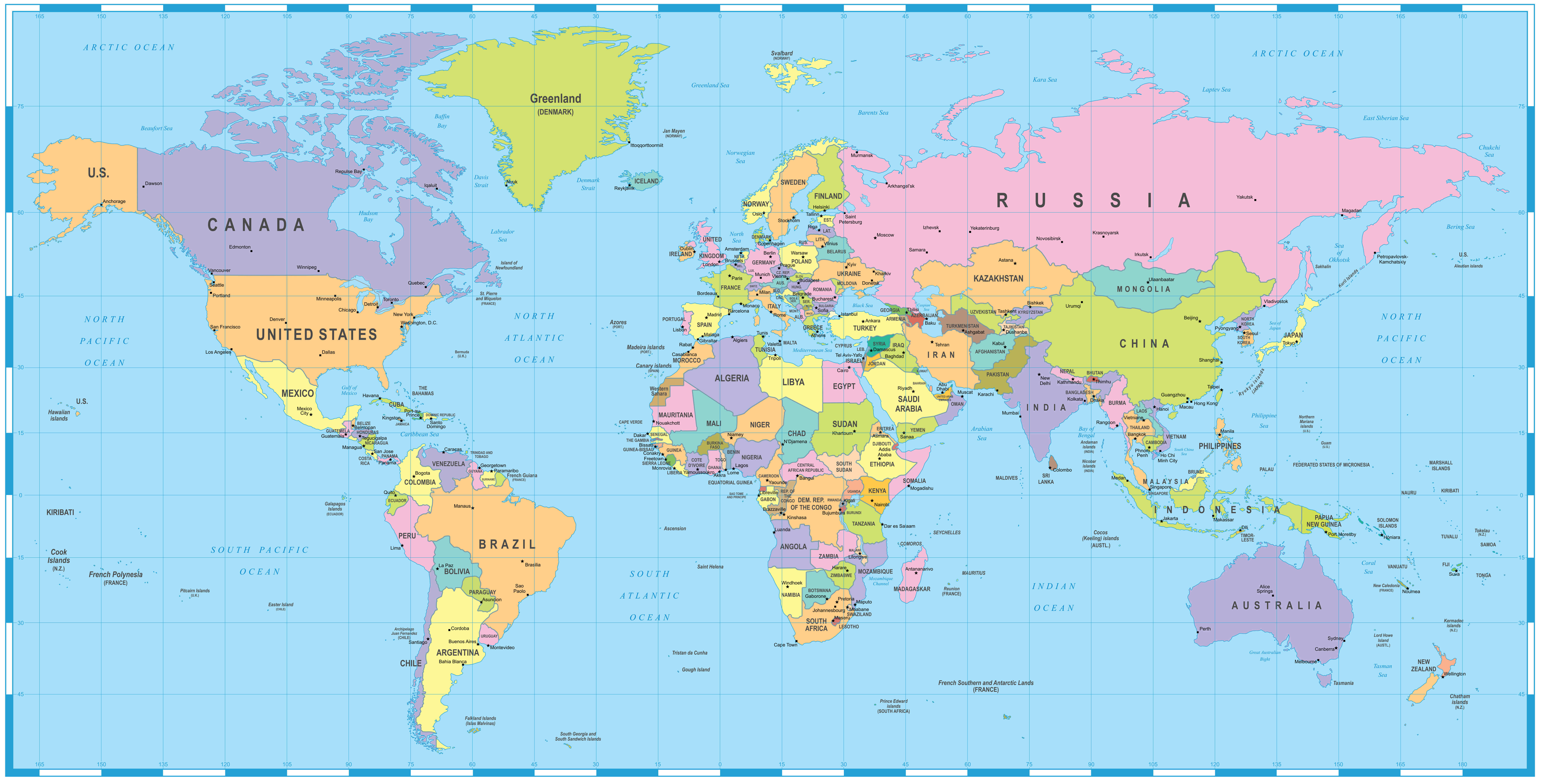
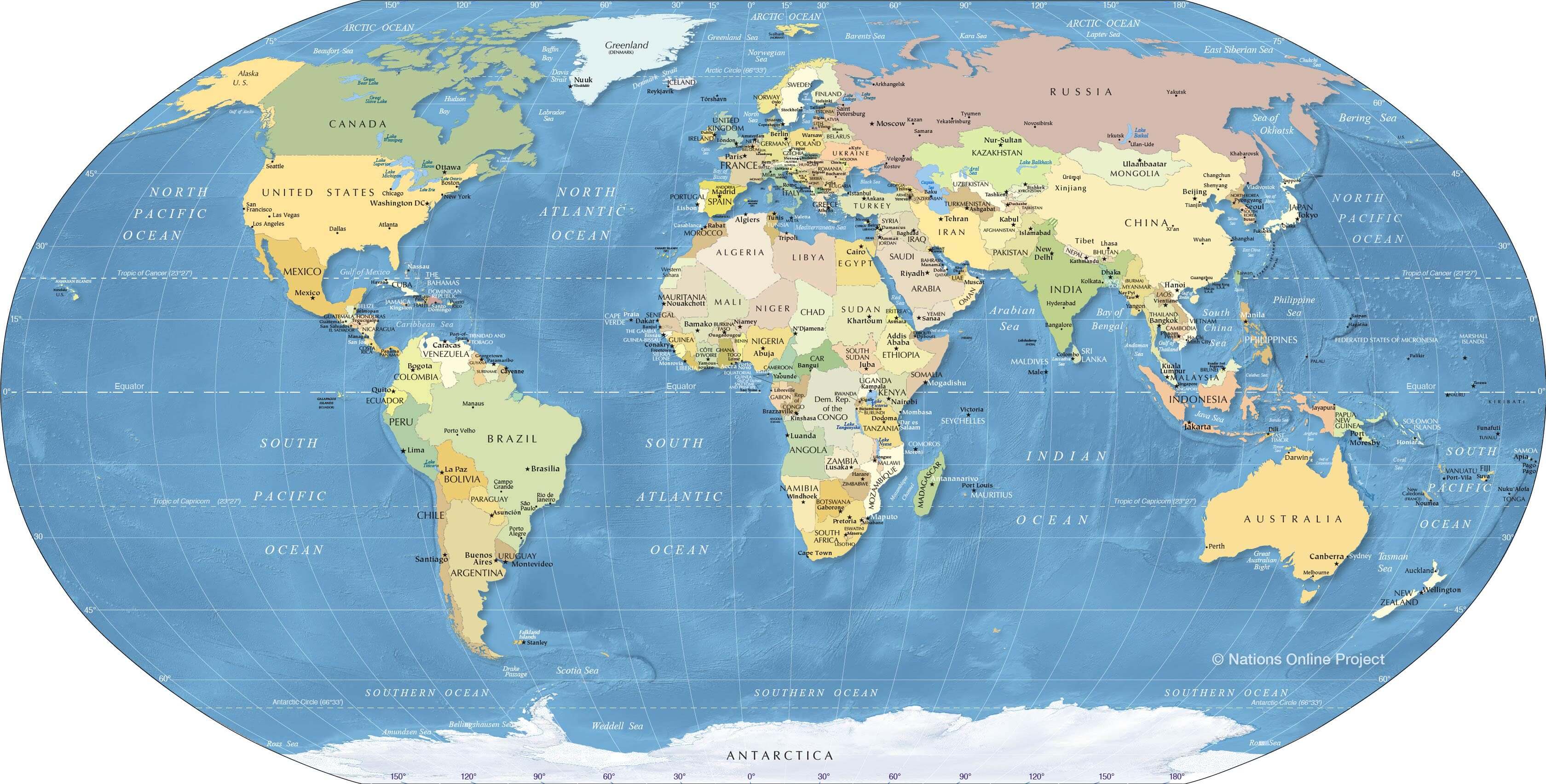
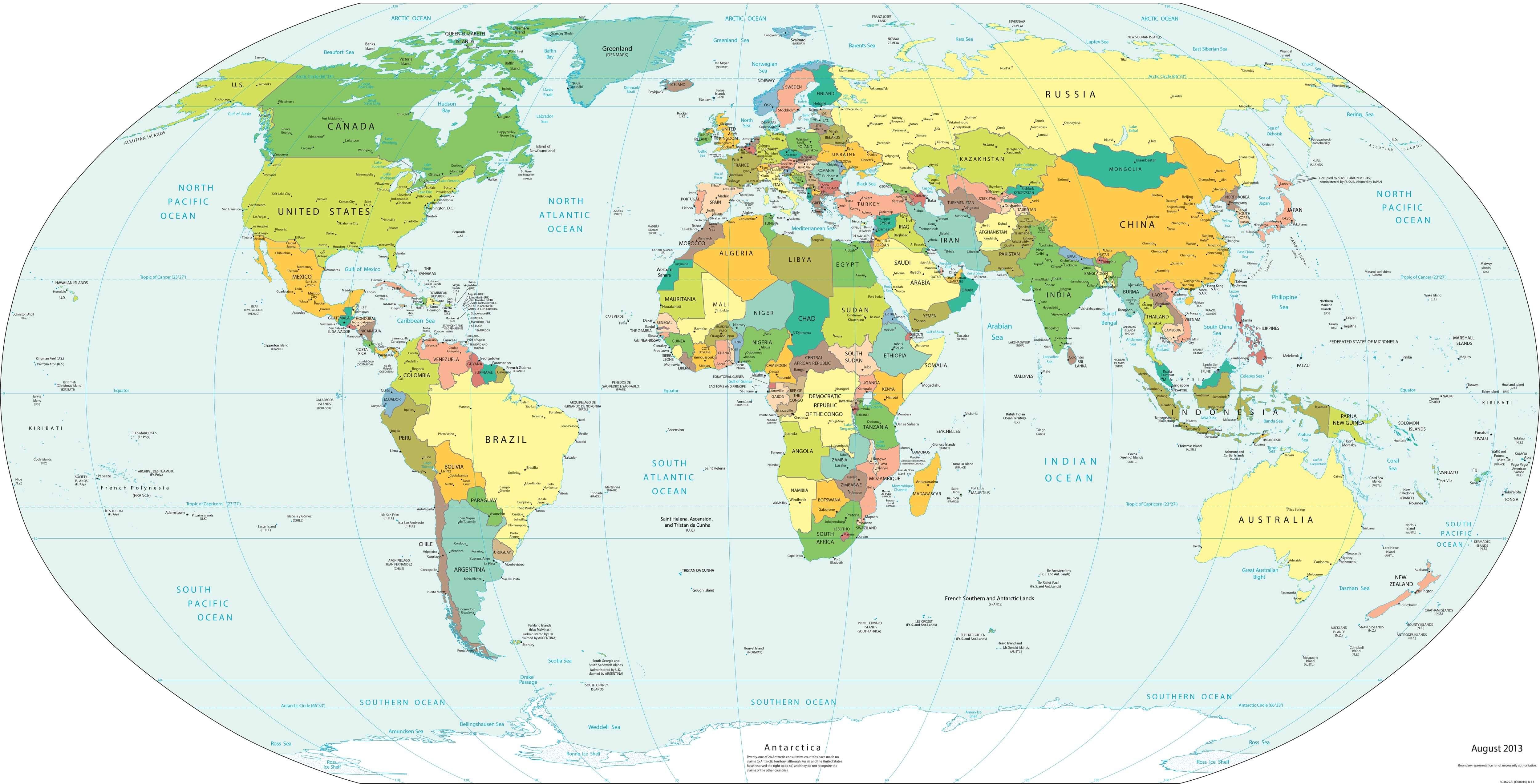
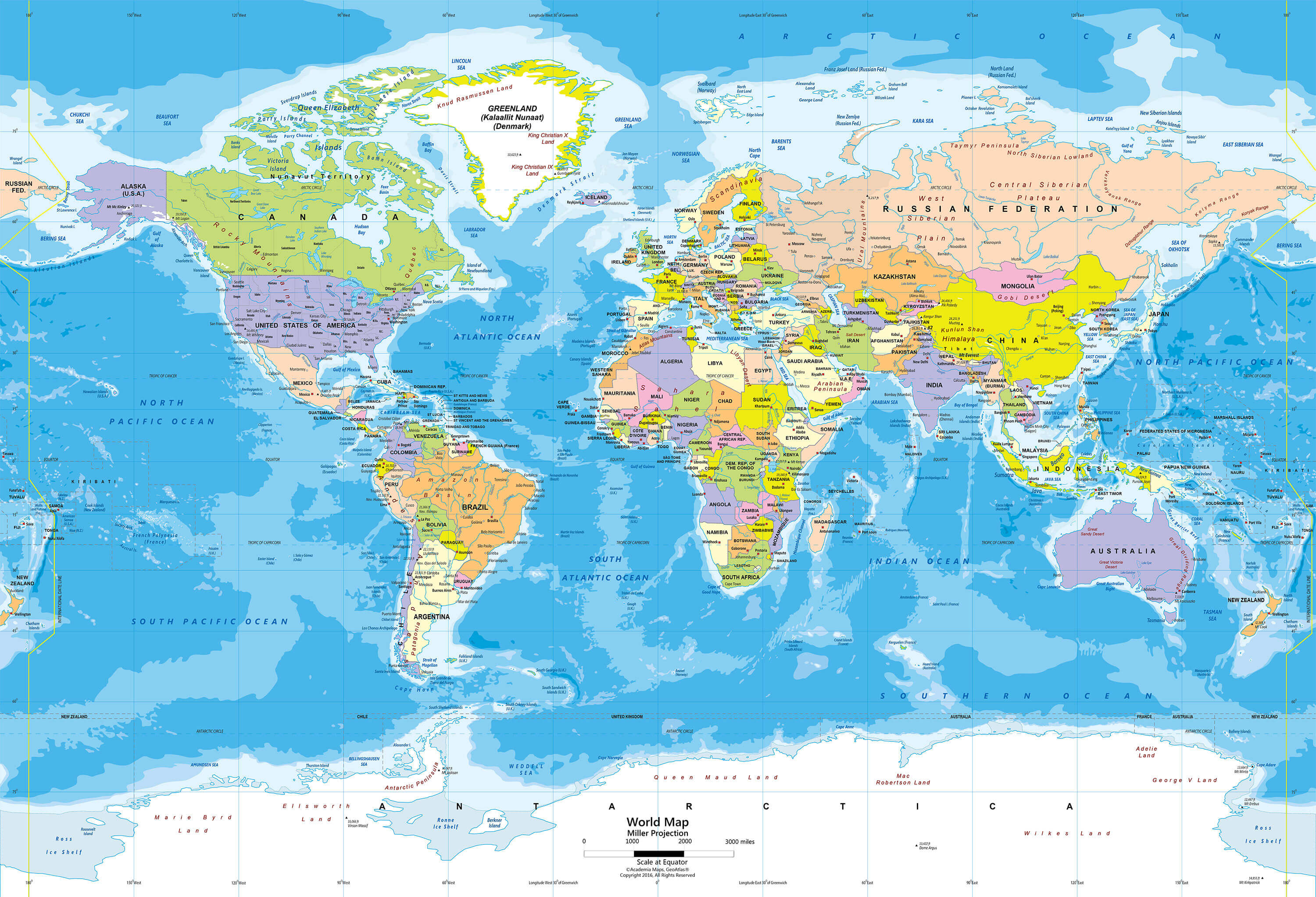
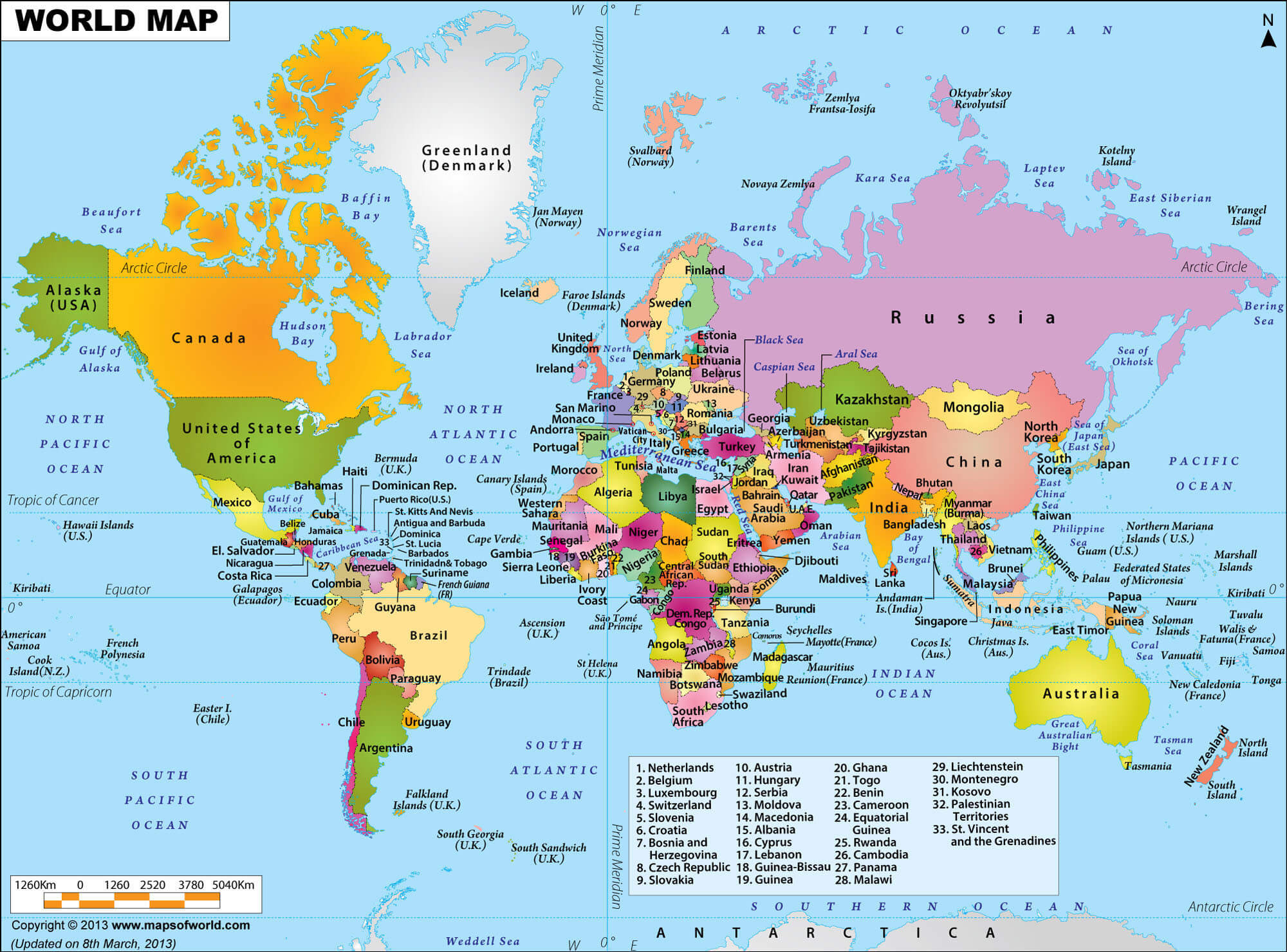
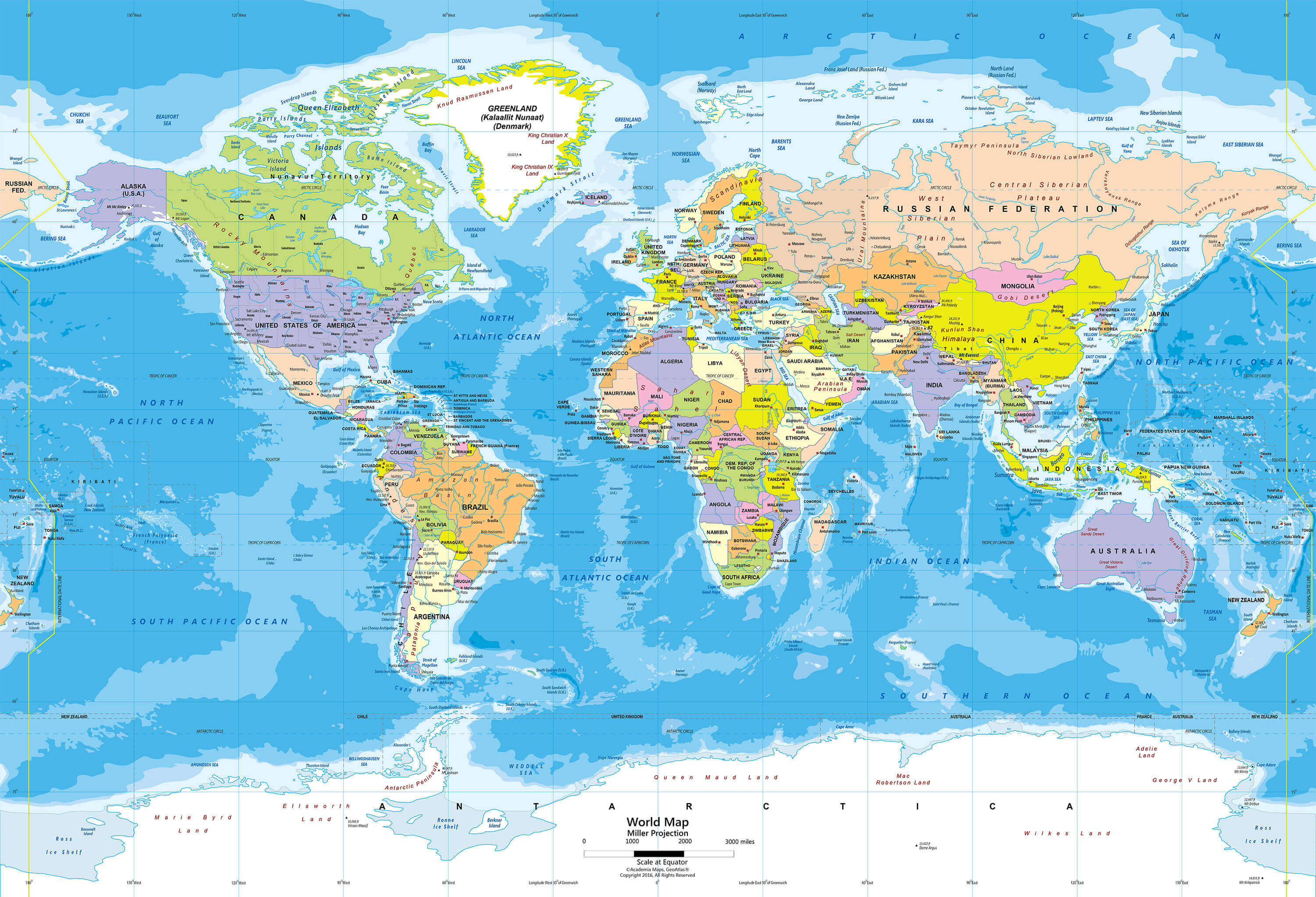
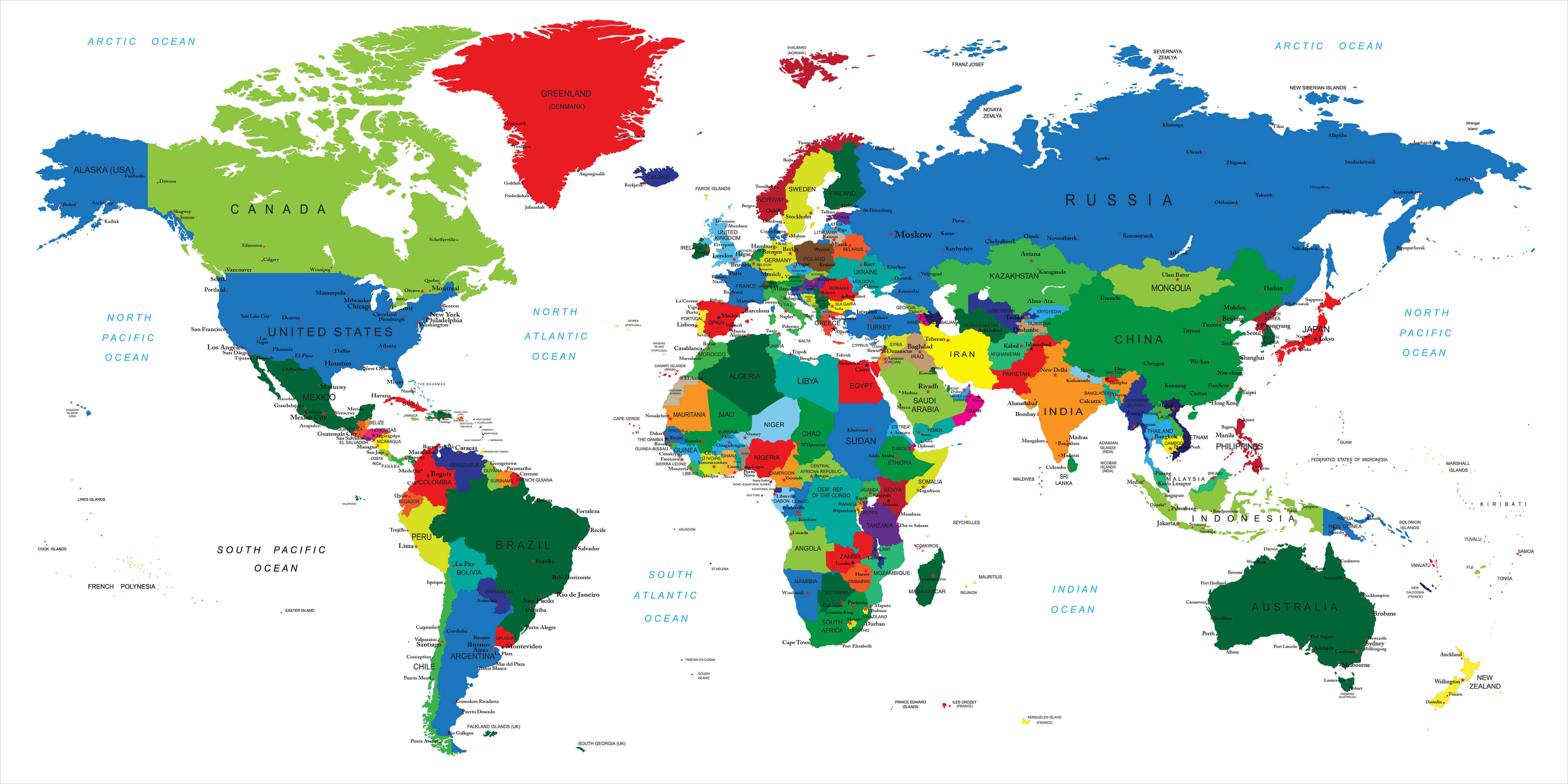 Explore a high-resolution World Political Map showing countries, national borders, capitals, major cities, oceans and geographic regions in clear detail. Color-coded countries make it easy to identify nations across Europe, Asia, Africa, North and South America, and Oceania—ideal for education, travel, geography and reference.
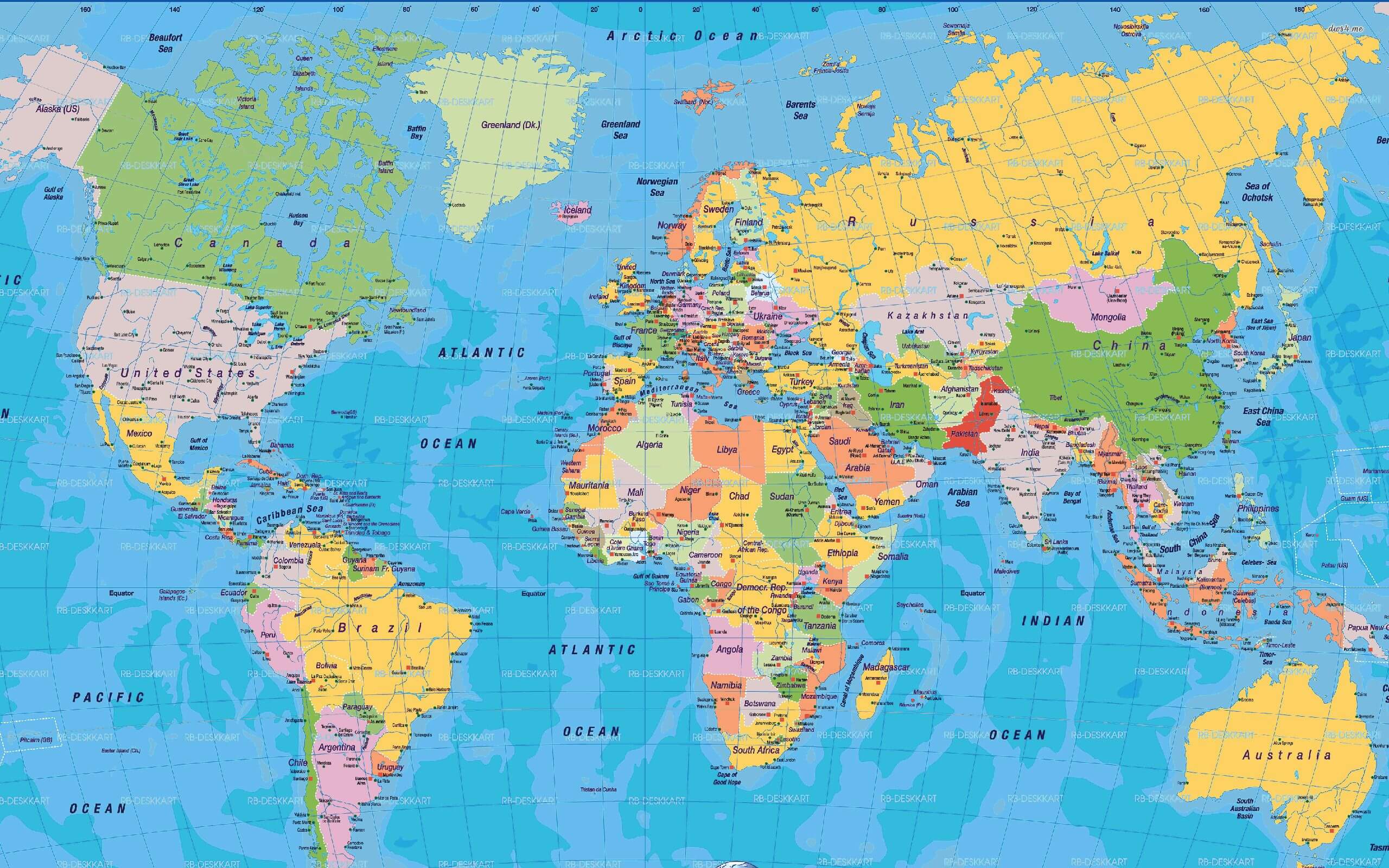
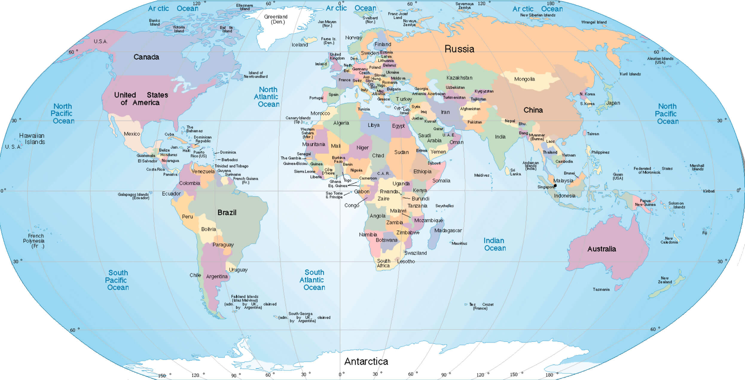
Explore a high-resolution World Political Map featuring countries, national borders, capitals, major cities, oceans and seas in clear detail. Color-coded nations and geographic labels provide an easy-to-read global view of Europe, Asia, Africa, the Americas and Oceania, ideal for geography, education, travel and reference.
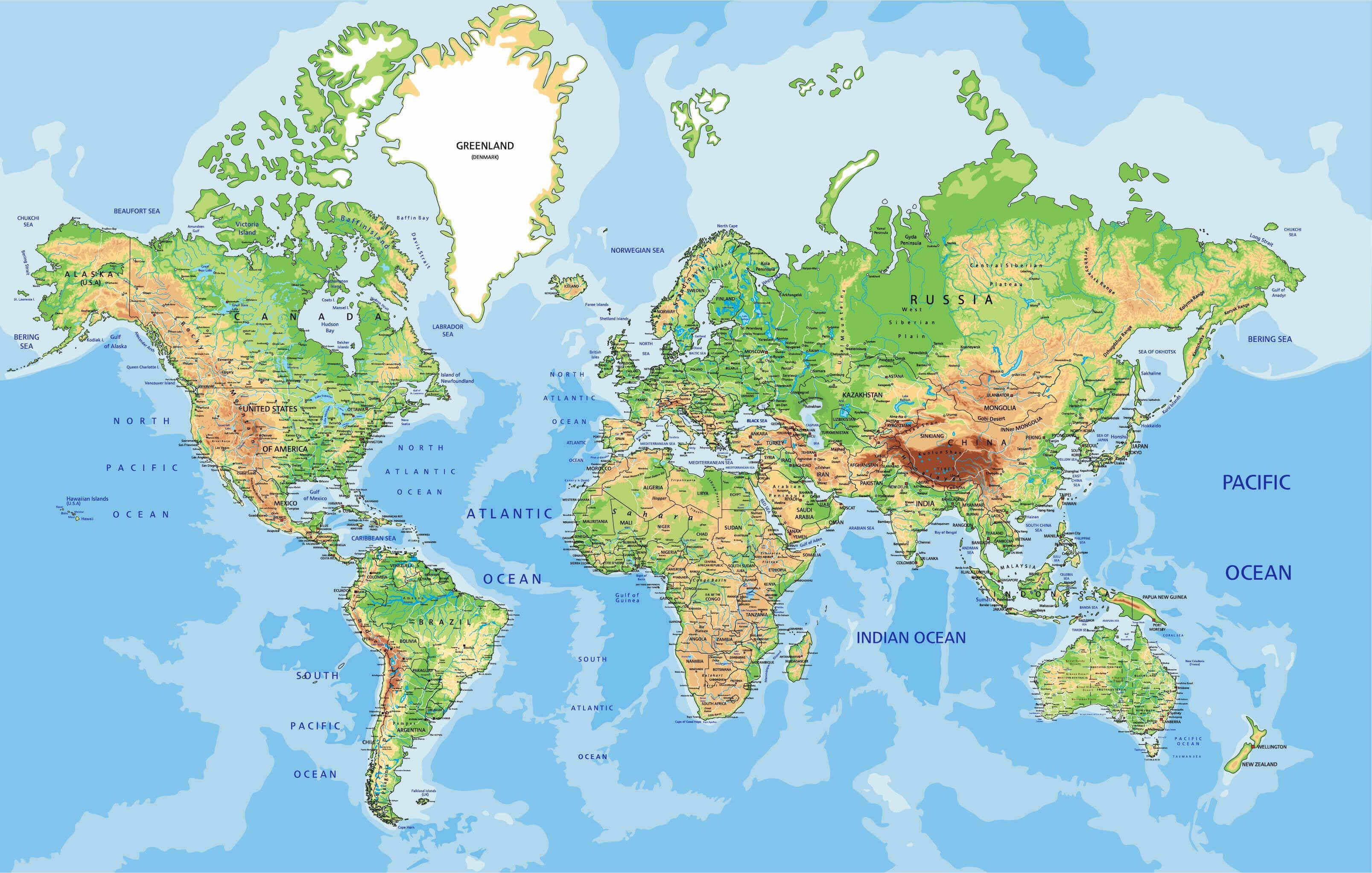
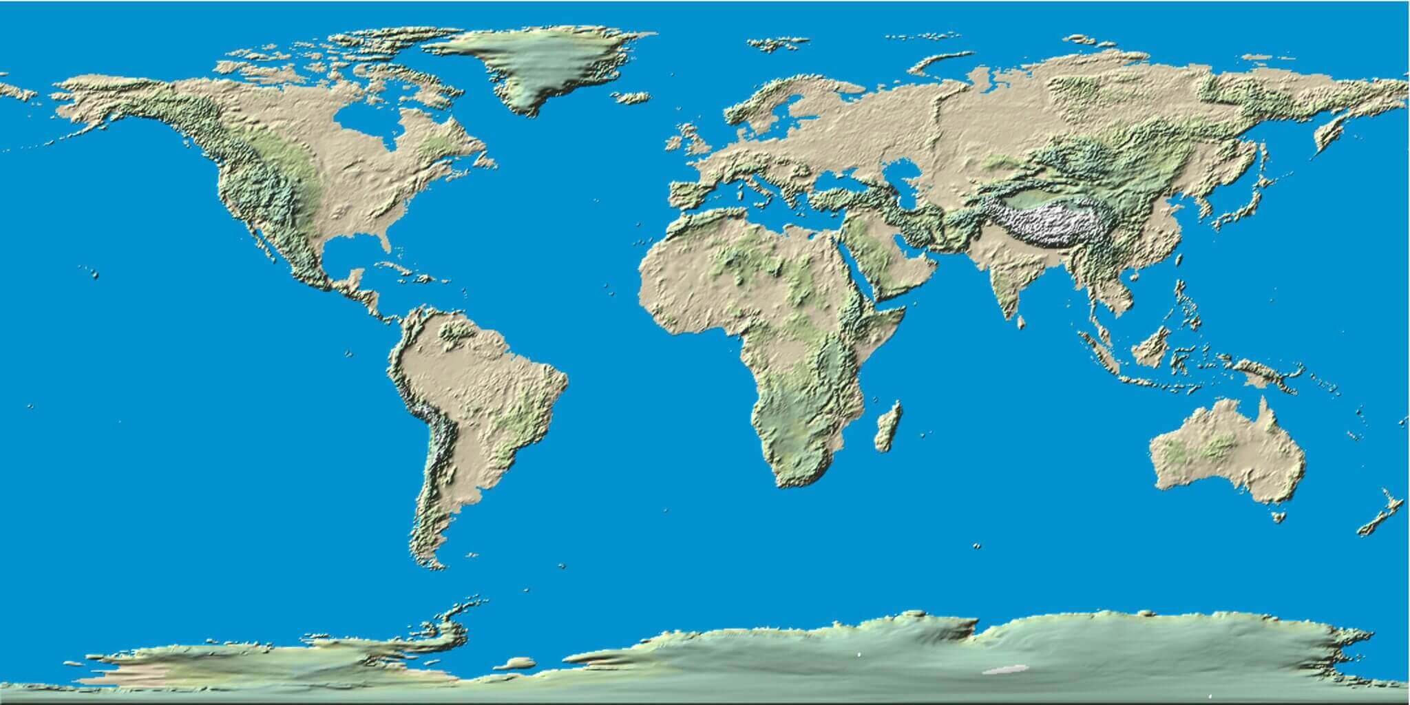
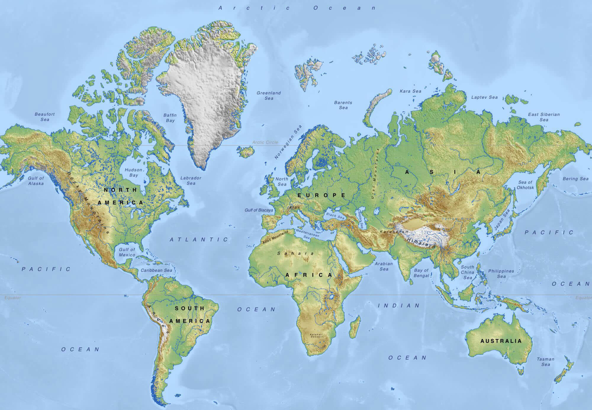
Explore a high-resolution World Physical Map showing mountains, rivers, lakes, plains, deserts, oceans and major landforms across the globe. Detailed terrain and elevation shading reveal the physical geography of Europe, Asia, Africa, the Americas and Oceania, making it ideal for geography, education, travel and reference.
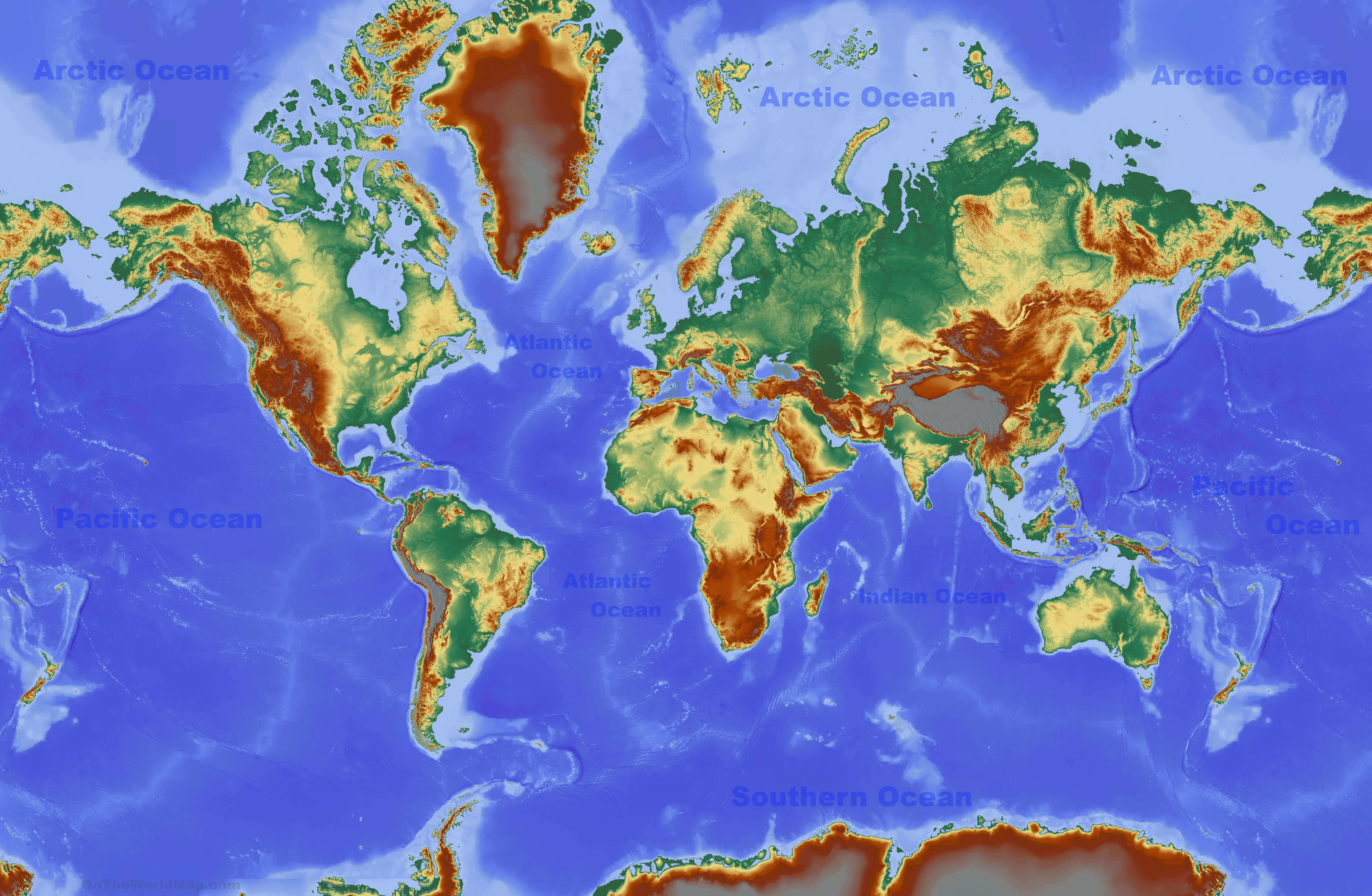
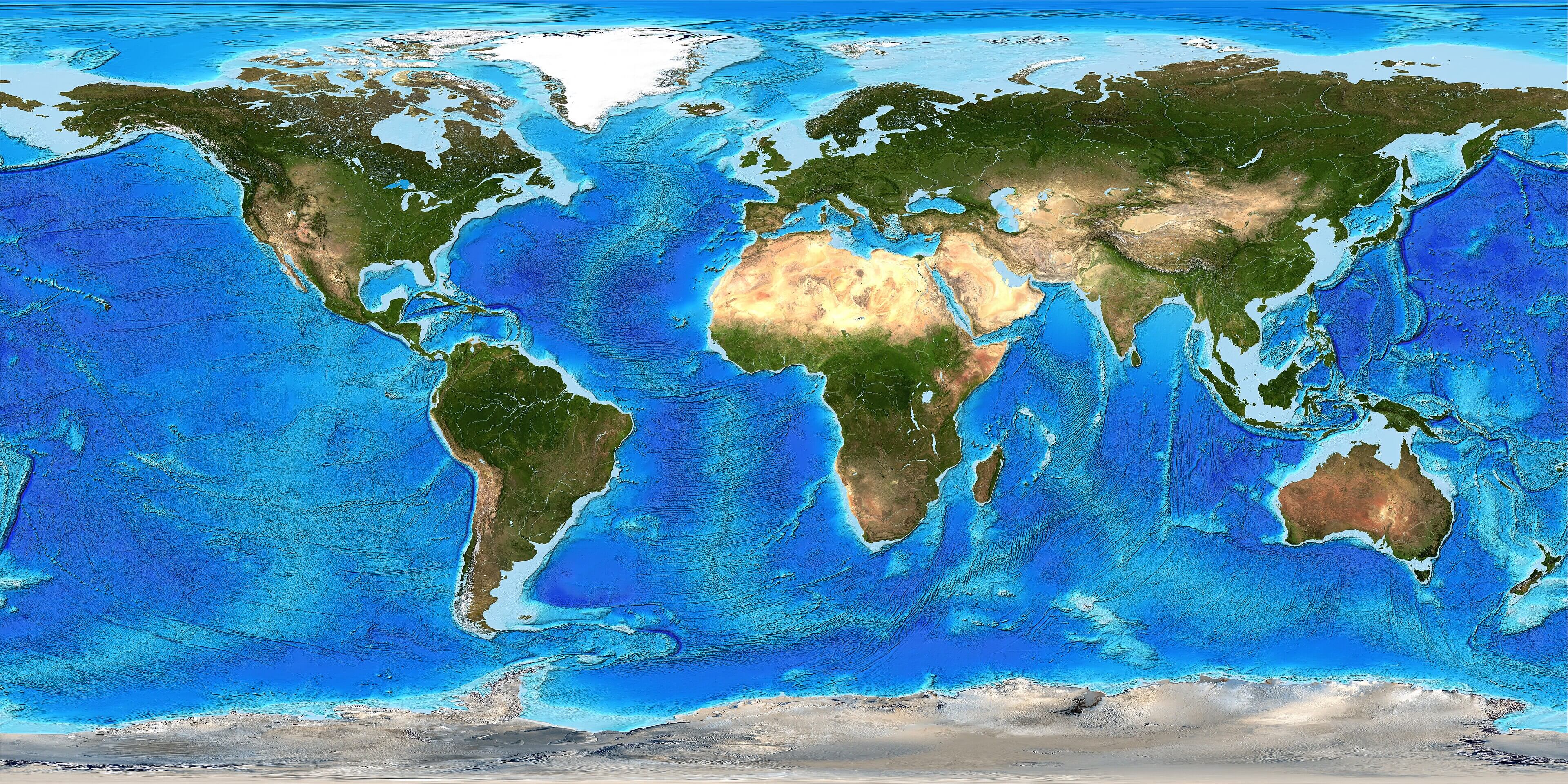
Explore a high-resolution World Topographic Map with oceans, showing global elevation, mountain ranges, plateaus, plains, coastlines and seafloor relief. Color-coded terrain and ocean depth reveal Earth's land and underwater topography across all continents and major oceans, ideal for geography, education and reference.
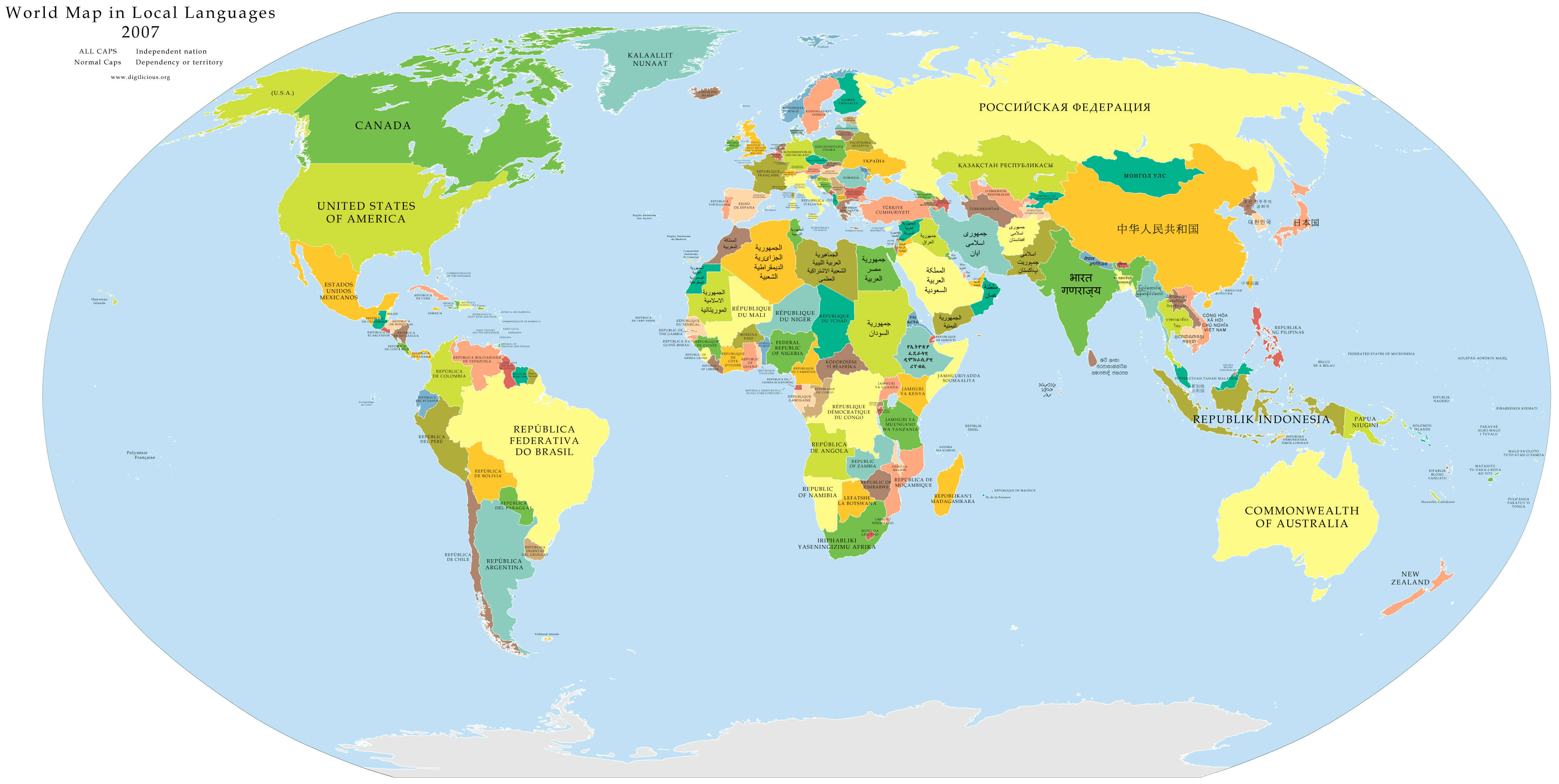
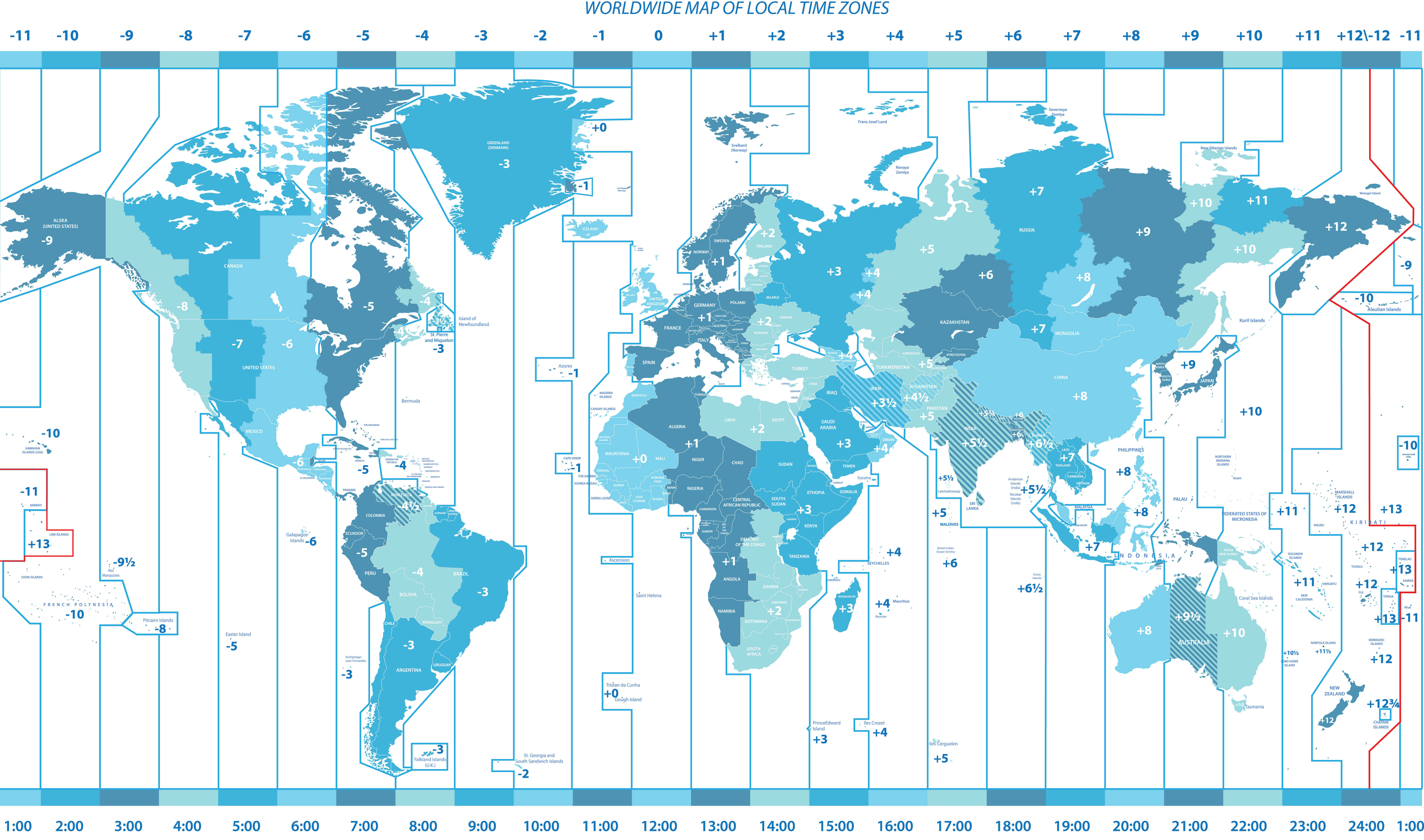
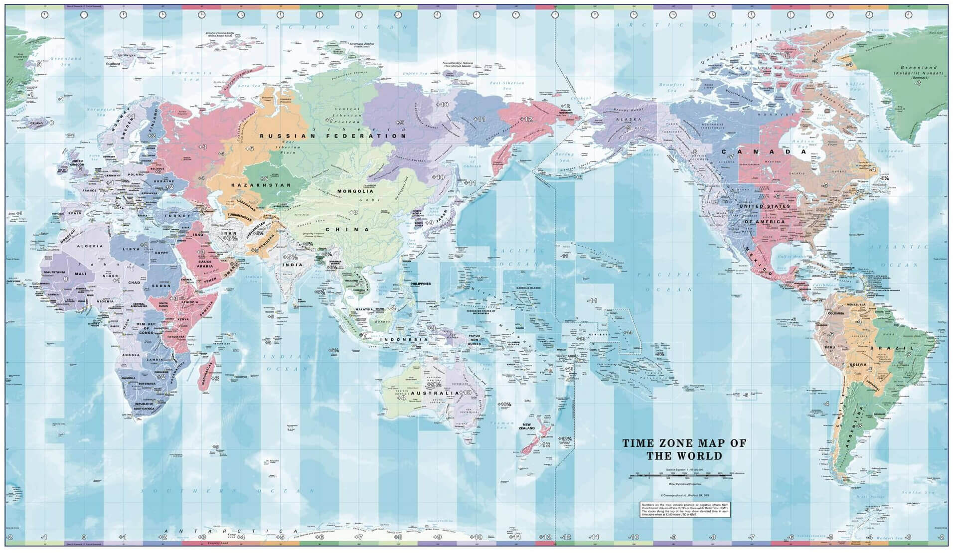
Explore a detailed World Time Zone Map showing global UTC offsets, international time zone boundaries and local time differences across countries and regions. Compare time zones from UTC−11 to UTC+13 across Europe, Asia, Africa, the Americas and Oceania—ideal for travel, business, scheduling and global time reference.
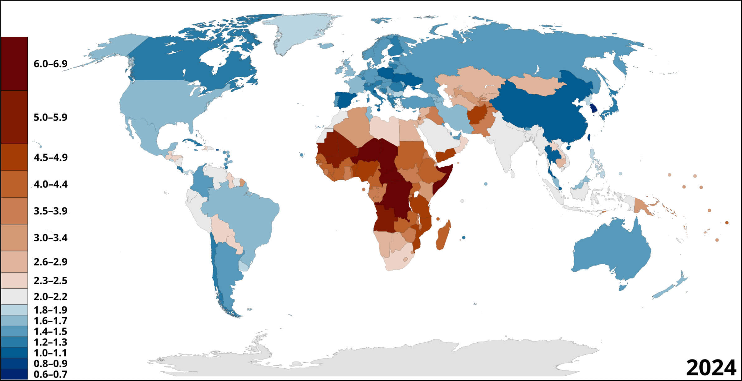
Explore the 2024 World Fertility Rate Map, comparing average births per woman across countries. Color-coded data highlights lower fertility rates across much of Europe and East Asia and higher rates across parts of Sub-Saharan Africa, providing a clear global view of fertility patterns and demographic differences.
What does a political world map show? It shows countries, international borders, capitals and major cities, making it useful for understanding how the world is divided into states and territories.
A clean political overview with country names and international borders.
View map →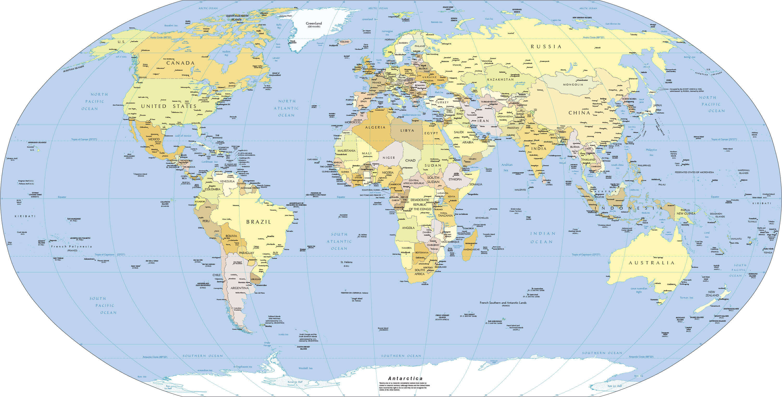
Ideal for locating countries together with capital cities and key political boundaries.
View map →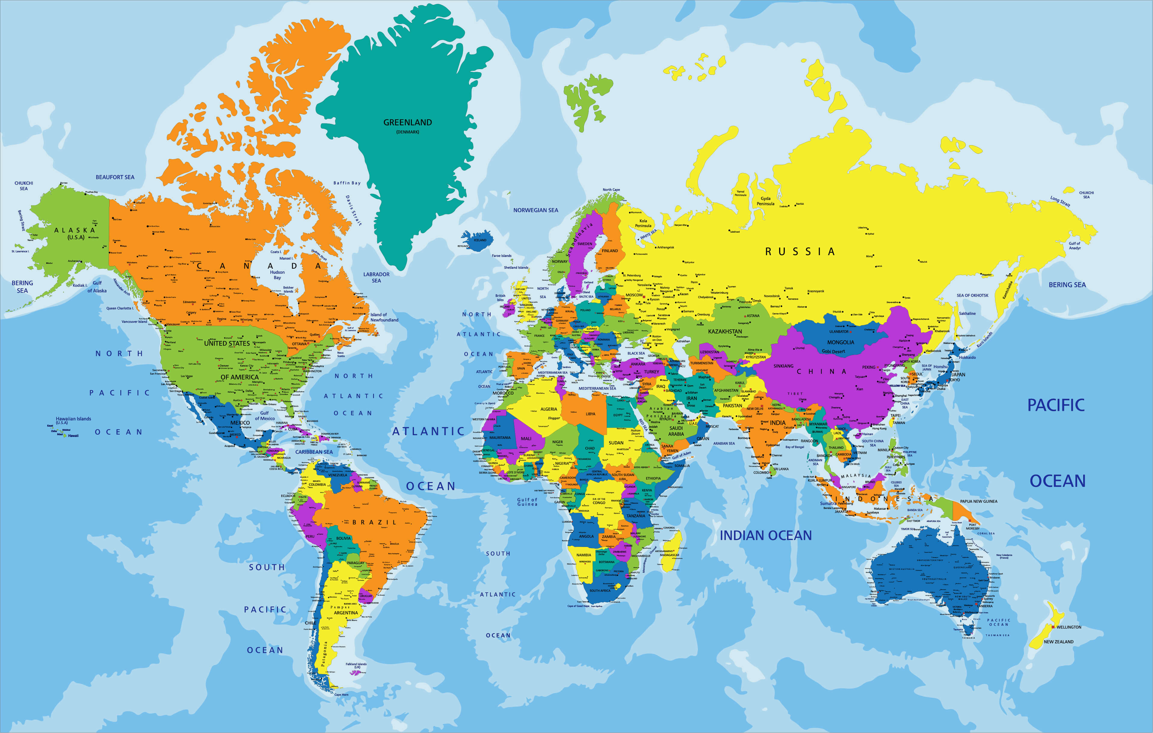
A larger-format political map designed for closer inspection and reference use.
View map →What does a physical world map show? It displays Earth's natural geography, including mountains, rivers, deserts, plains, elevation and oceans rather than focusing primarily on political boundaries.
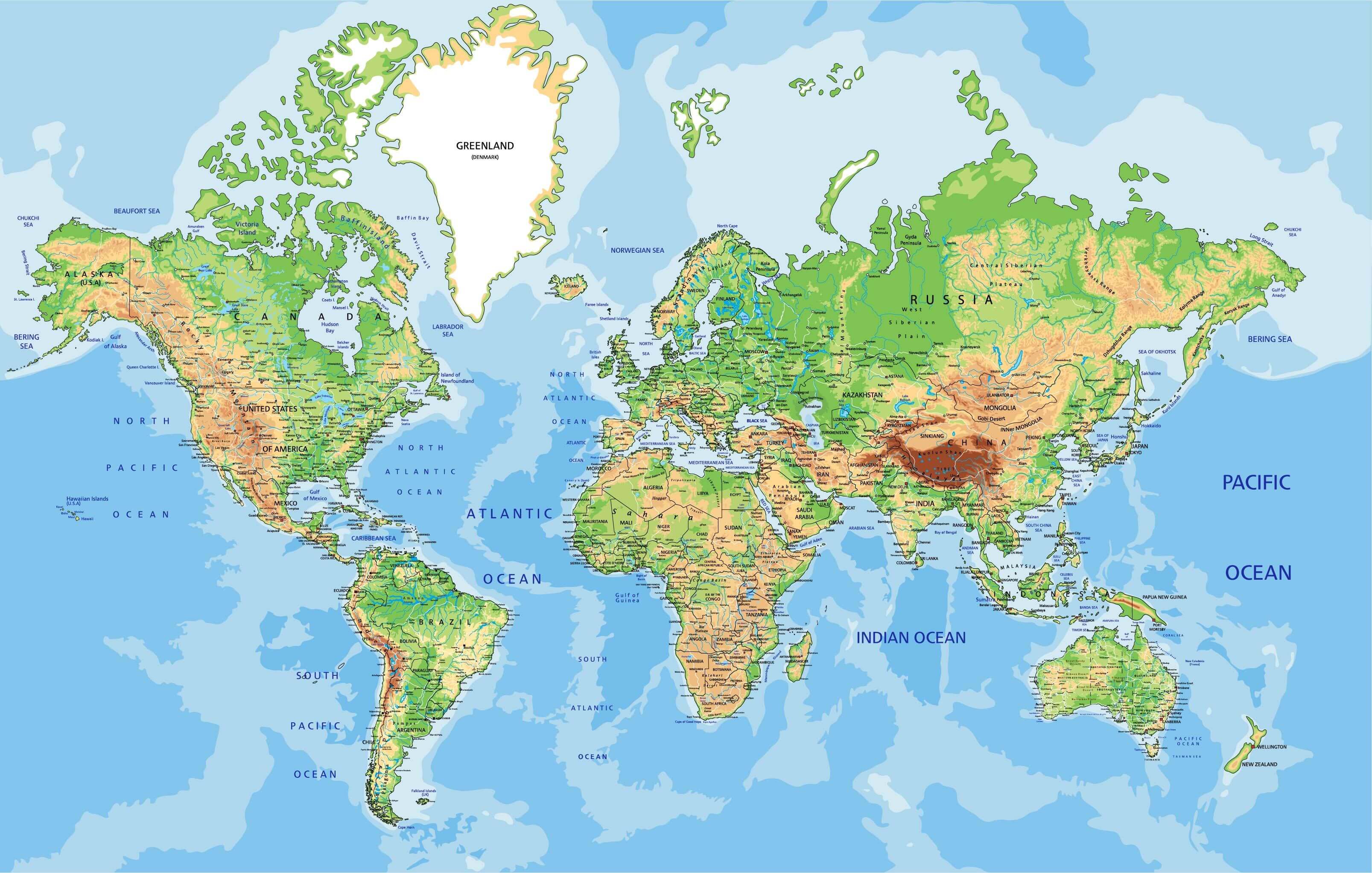
Study the major mountain systems, rivers and natural landforms of the world.
View map →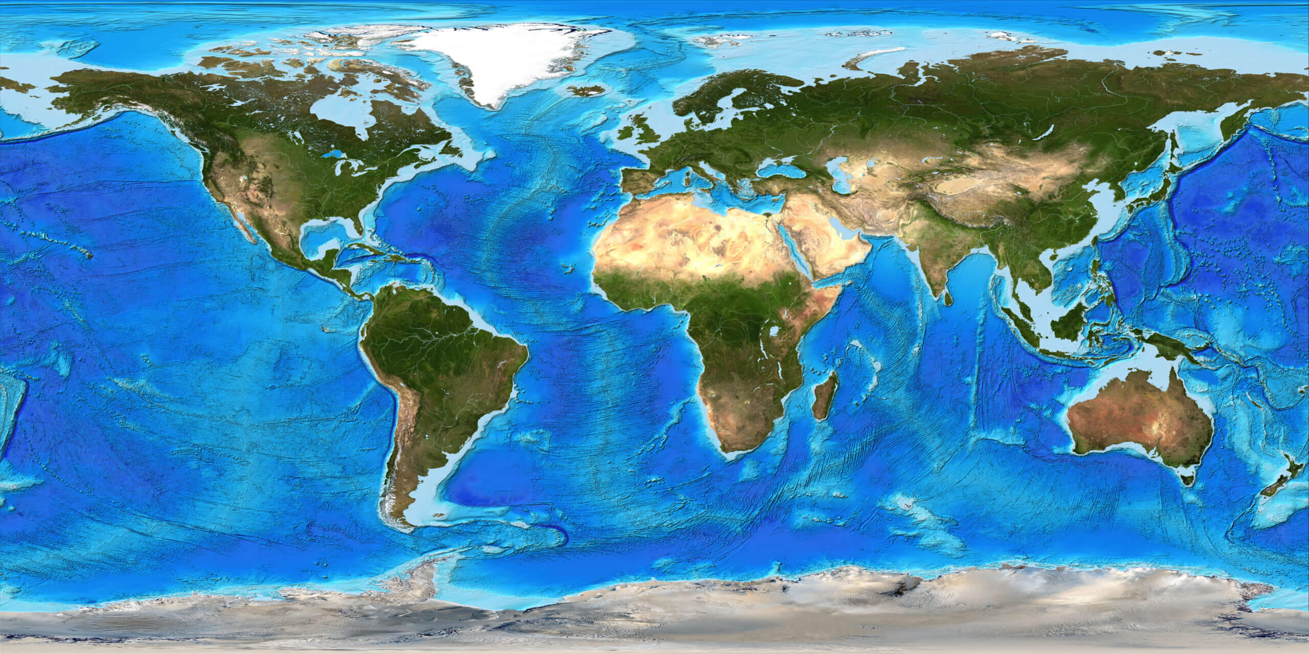
Compare elevation and terrain patterns across continents and regions.
View map →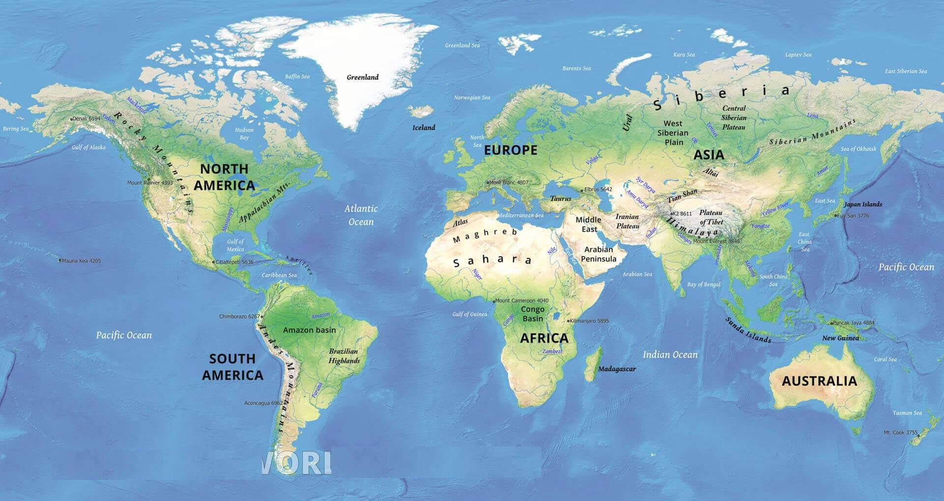
A broad physical overview of continental landmasses and surrounding oceans.
View map →World maps with country names help users identify states, borders and regional relationships at a glance. Depending on the map, capitals, territories and major cities may also be labeled.
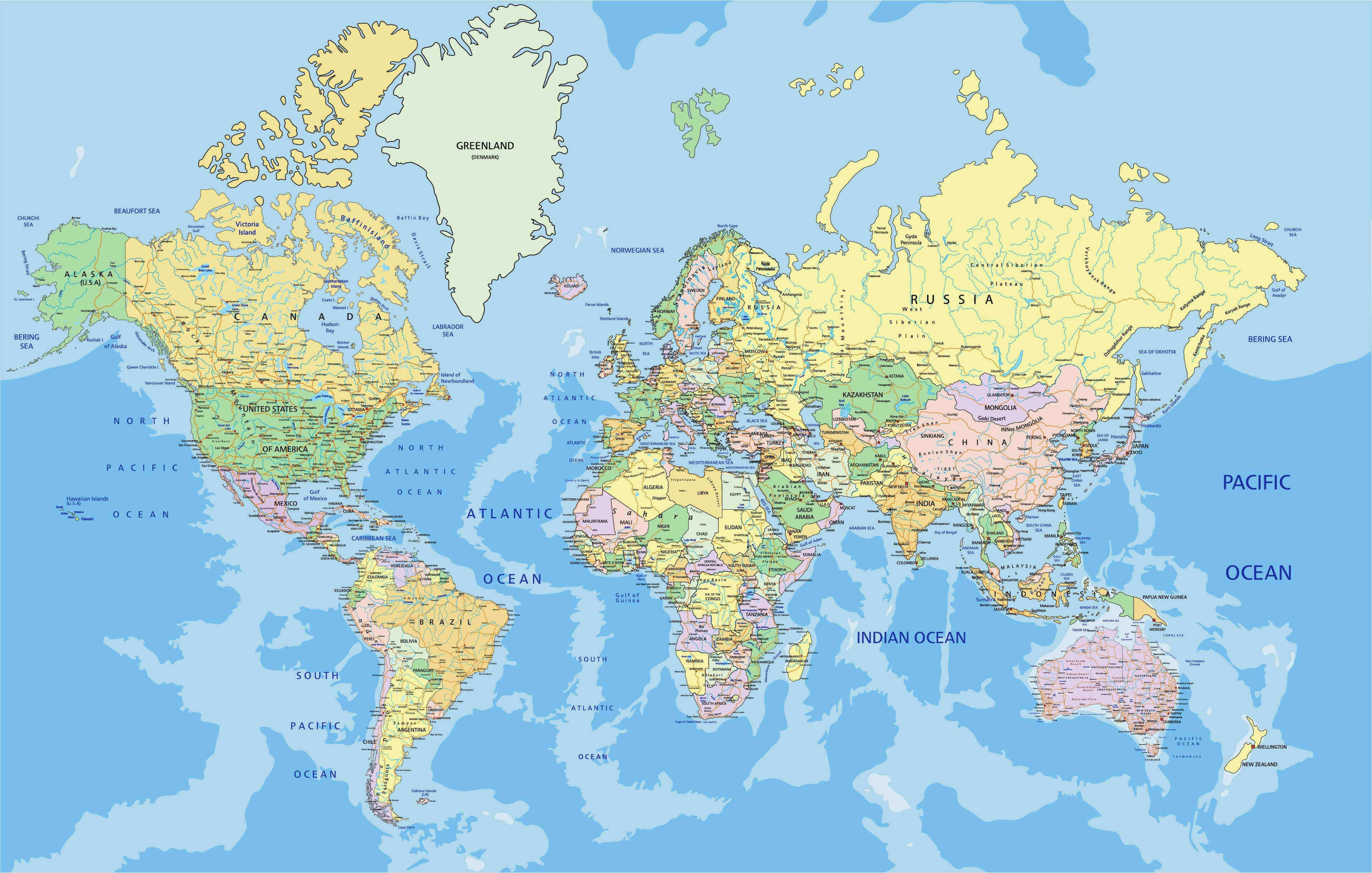
Quickly identify countries and their positions around the globe.
View map →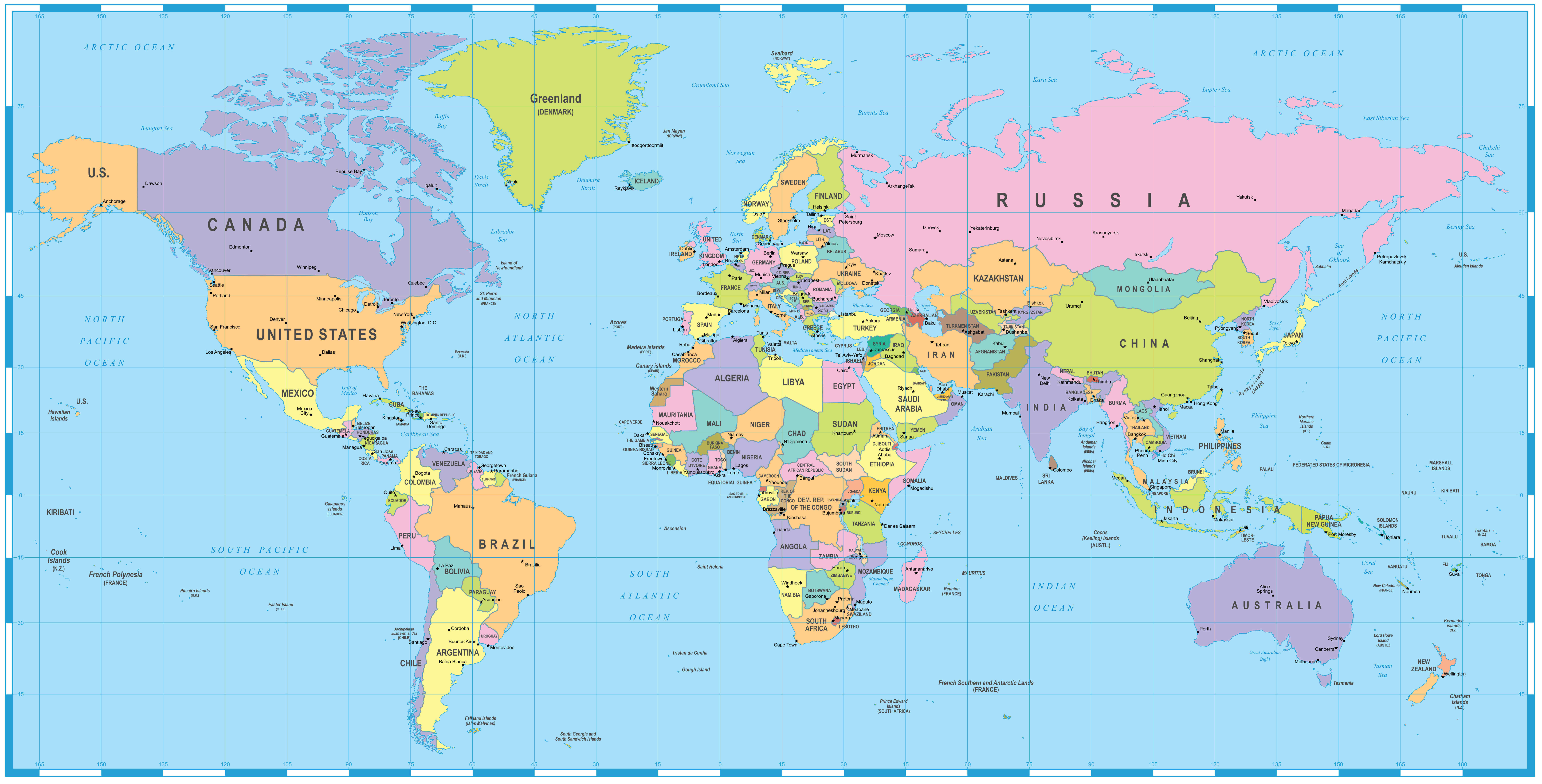
Useful for geography study, travel planning and general reference.
View map →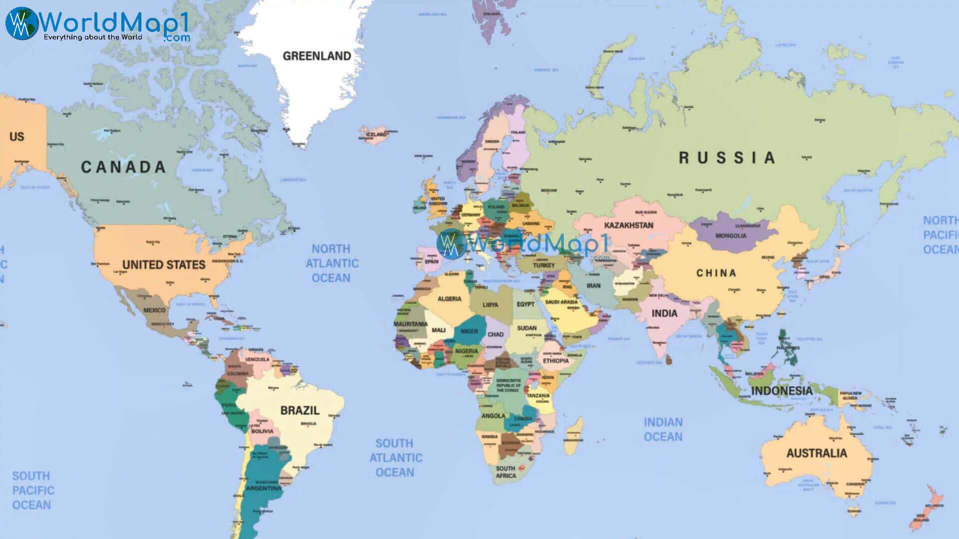
See international boundaries and country locations in a clear global view.
View map →What is a satellite world map? A satellite world map uses imagery captured from space to show Earth's surface, including continents, oceans, vegetation, deserts and mountain ranges.
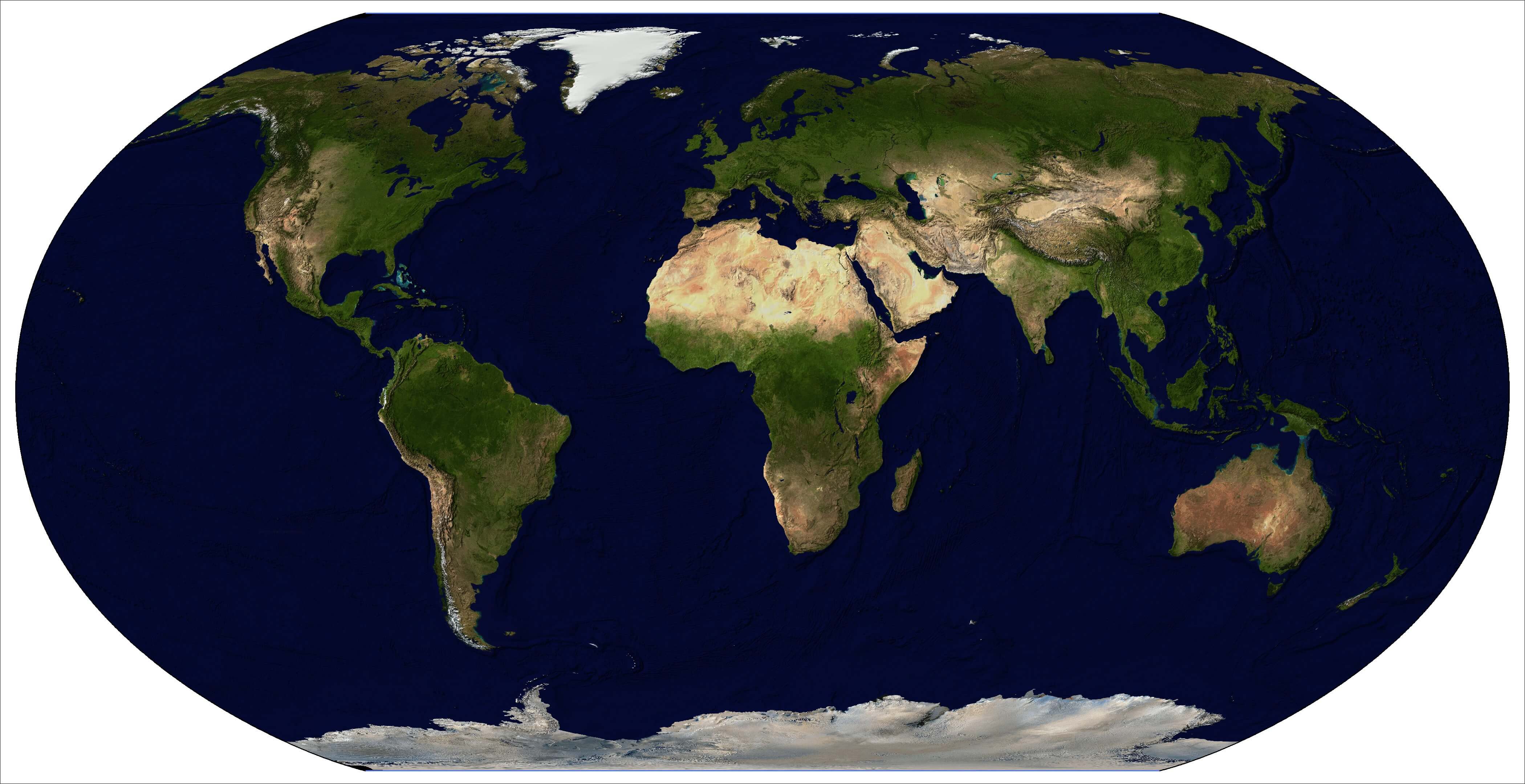
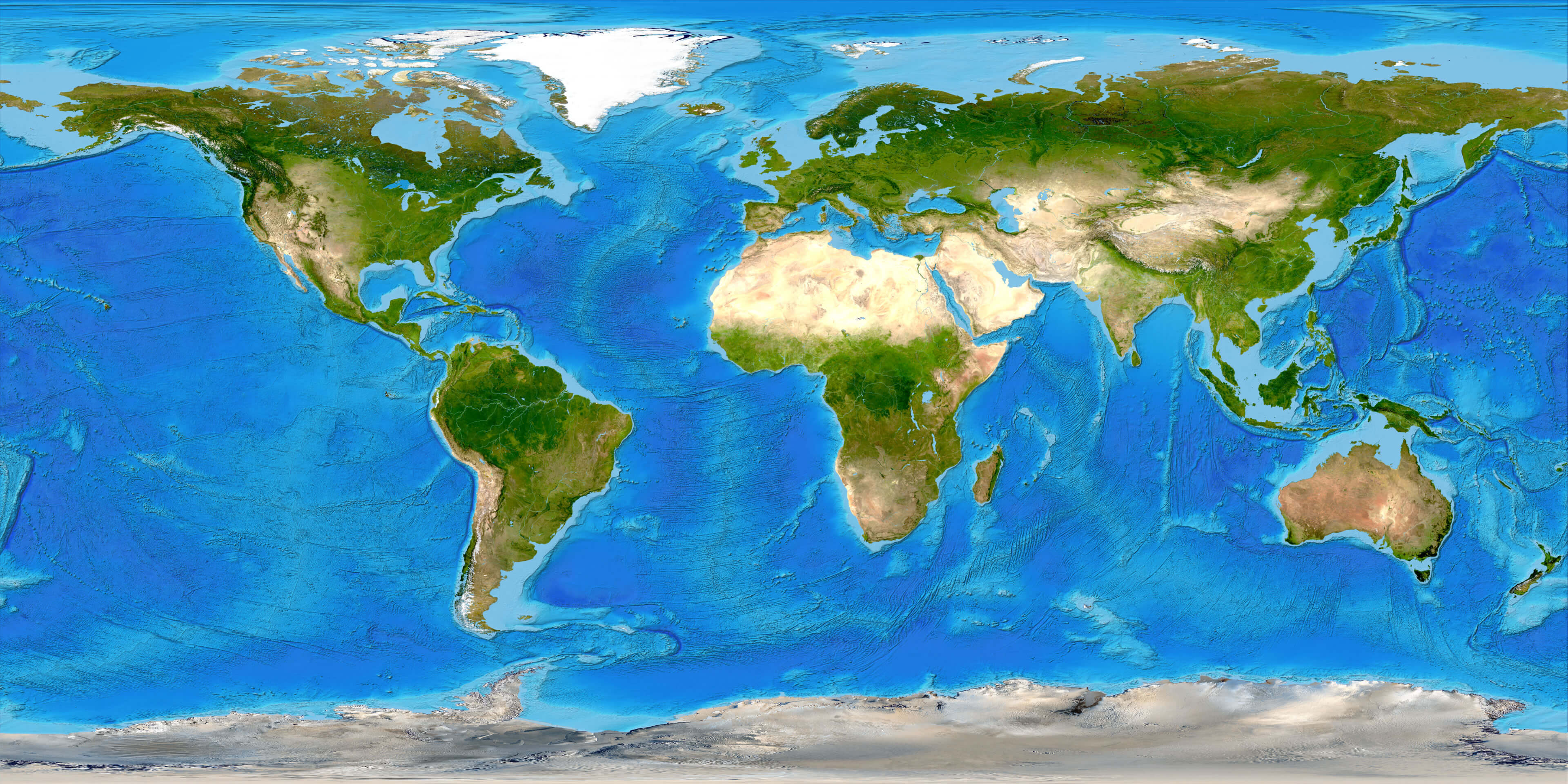
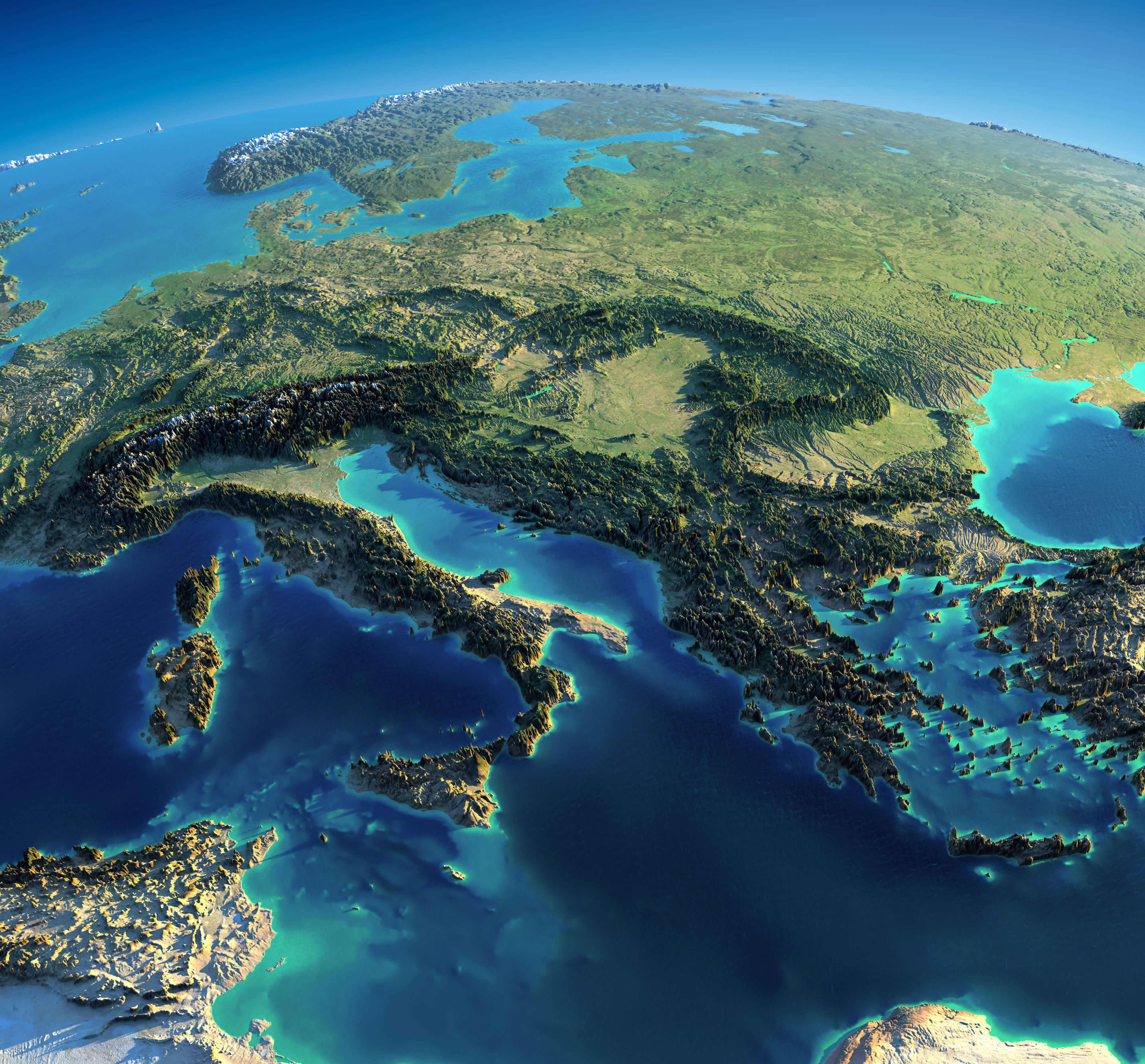
High-resolution world maps provide greater image detail for large screens, classrooms, presentations, design work and printing.
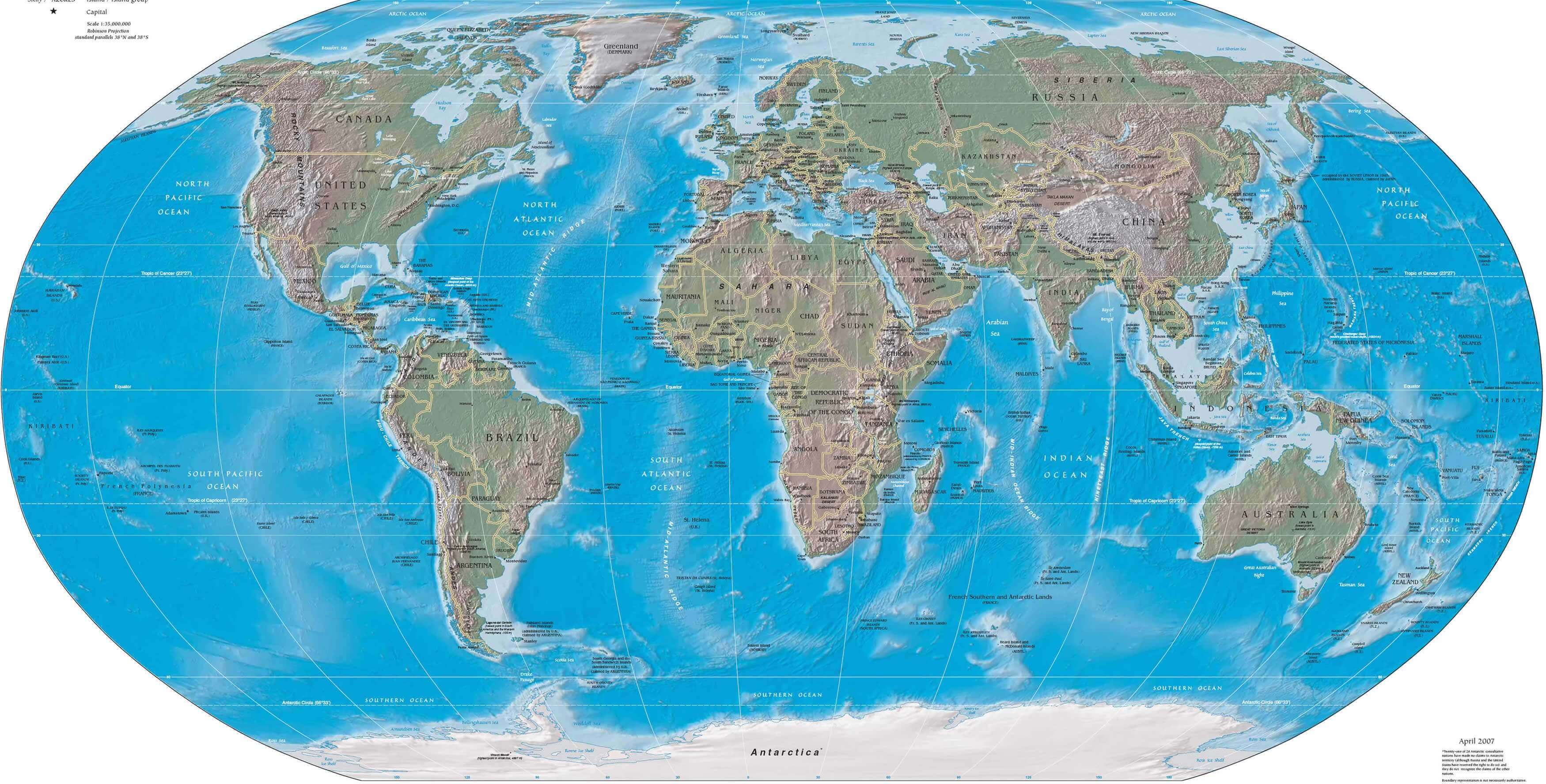
Large-scale terrain, mountains and oceans for closer viewing.
View map →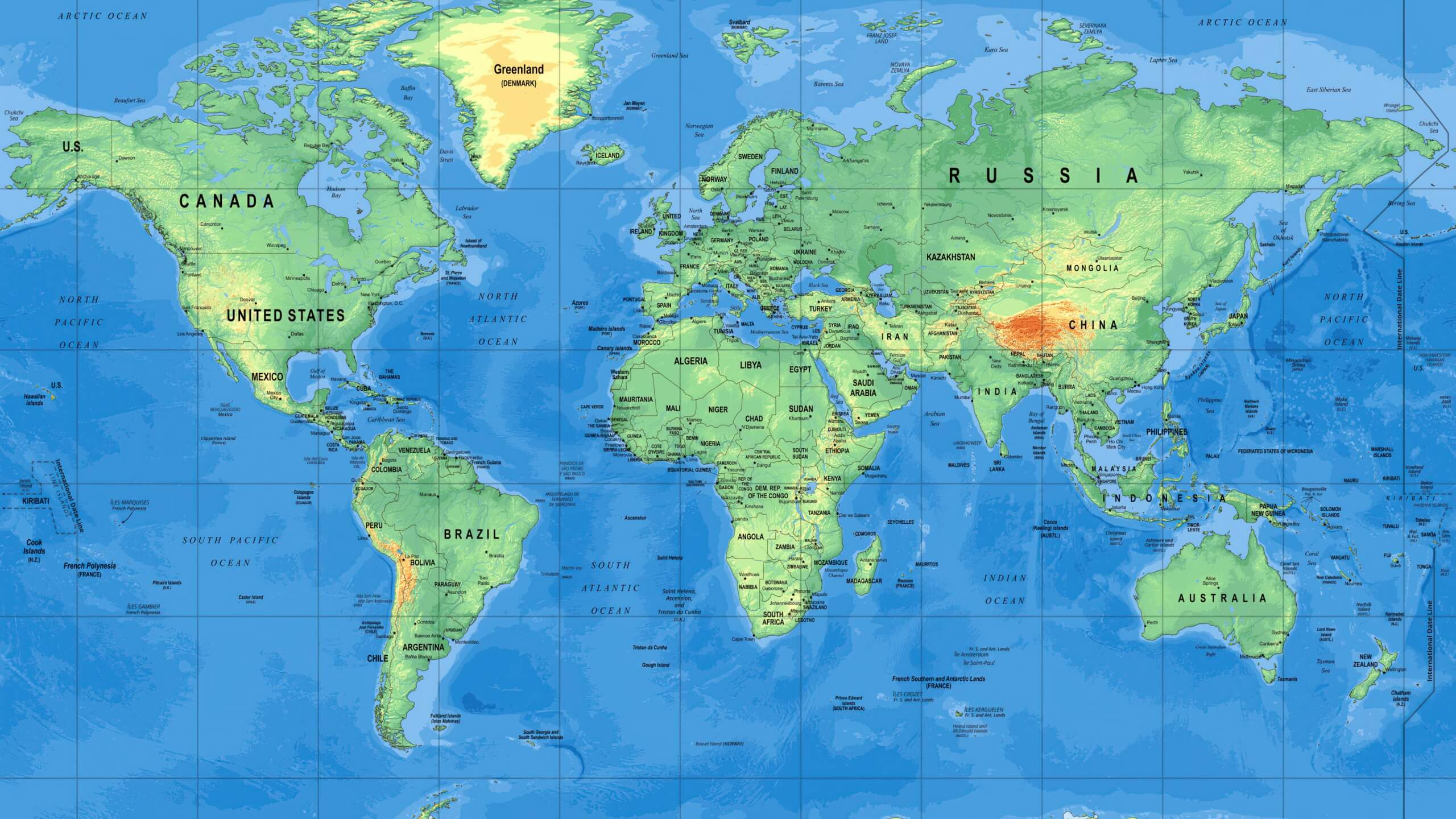
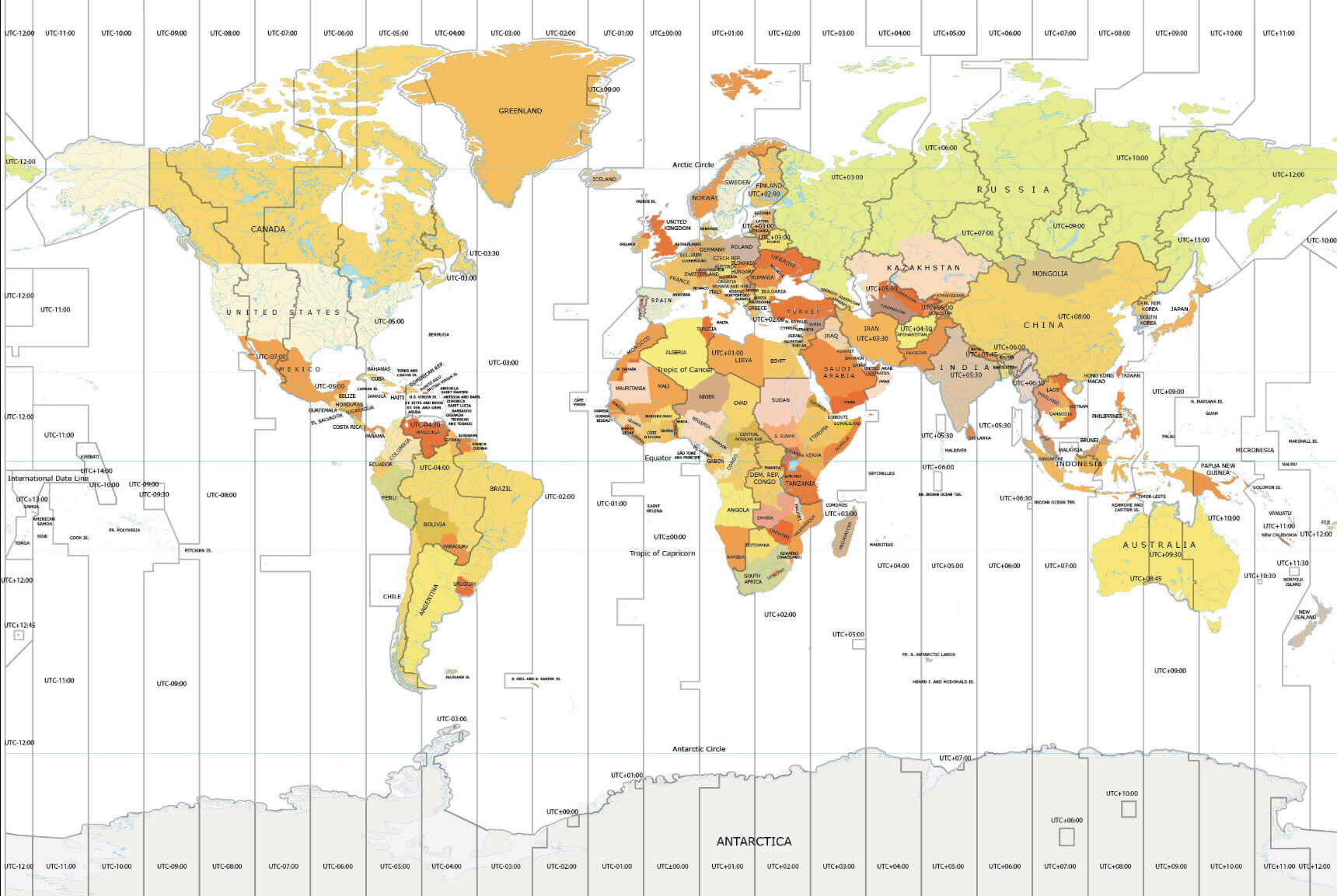
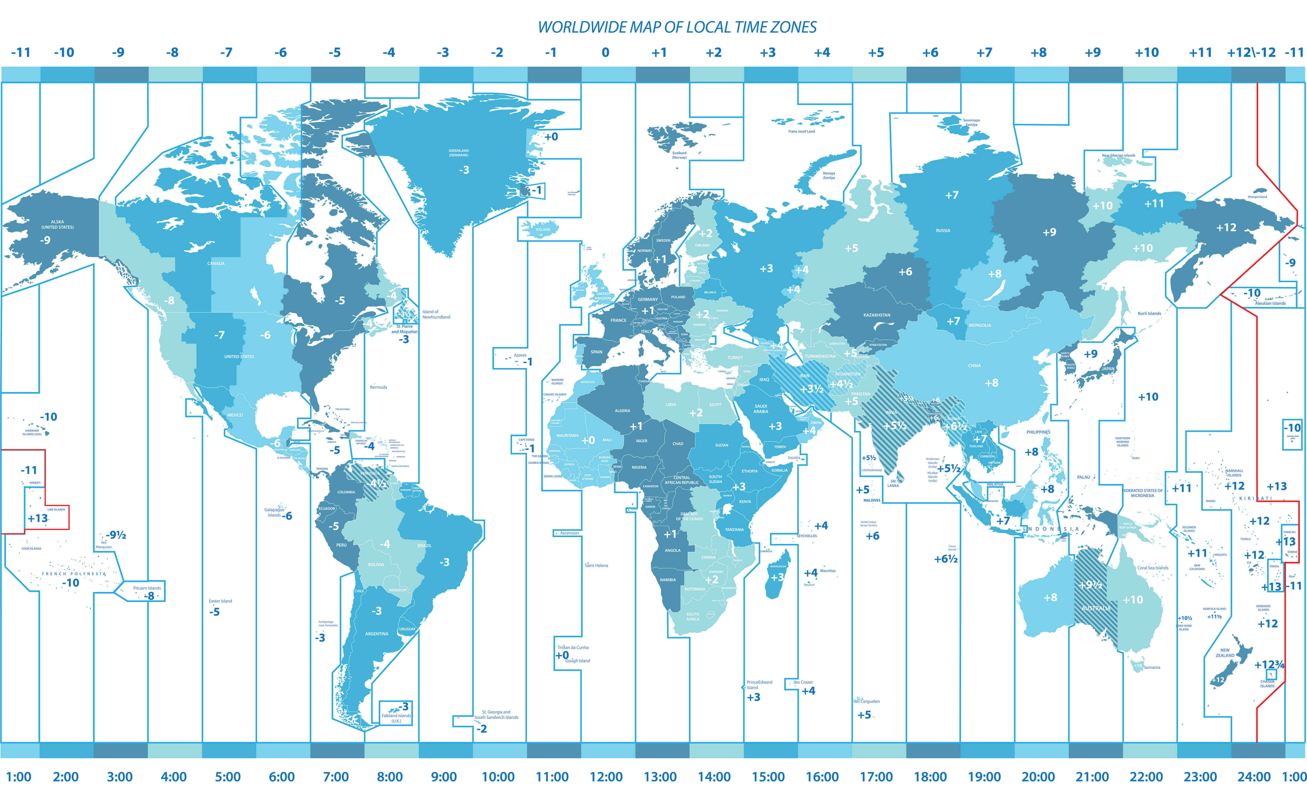
The Earth is theoretically divided into 24 hourly time zones, but actual civil time zones include additional offsets and political boundaries, making the real-world system more complex.
Printable world maps are designed for classroom use, geography exercises, presentations, travel planning and wall displays.
Choose the map type based on the information you want to see.
| If you want to… | Choose | Best for |
|---|---|---|
| See countries and borders | Political World Map | Geography, international reference |
| Find countries and capitals | World Map with Countries | Study, travel, education |
| Study mountains and rivers | Physical World Map | Natural geography |
| See Earth from space | Satellite World Map | Surface imagery |
| Print a large map | Printable World Map | Classroom and wall use |
| See more map detail | High-Resolution World Map | Large screens and print |
| Compare international time | World Time Zone Map | Time-zone reference |
Browse maps by continent for a closer look at countries, cities, borders and physical geography.
Explore countries, cities and regions across North America.
See European countries, capitals, borders and surrounding seas.
Explore the world's largest continent with country and regional maps.
Browse political and physical maps of African countries and regions.
Browse countries and geographic features across South America.
Explore Australia, New Zealand and the Pacific island regions.
Quick geographic context to help you understand and compare different world map types.
A world map is a representation of Earth's surface showing continents, oceans, countries or physical features on a flat map.
A political world map emphasizes countries, borders and cities, while a physical world map emphasizes natural features such as mountains, rivers, deserts and elevation.
A political world map with country names and borders is generally the most useful choice for identifying countries and their locations.
Yes. Printable world maps can be used for classrooms, wall displays, geography exercises and travel planning.
High-resolution world maps are available in dedicated political, physical and large-format map collections for closer viewing and printing.
A world time zone map shows how local time varies across countries and regions based on standard time zones and UTC offsets.
A traditional map uses cartographic symbols and labels to represent geographic information, while a satellite map uses imagery of Earth's surface captured from space.