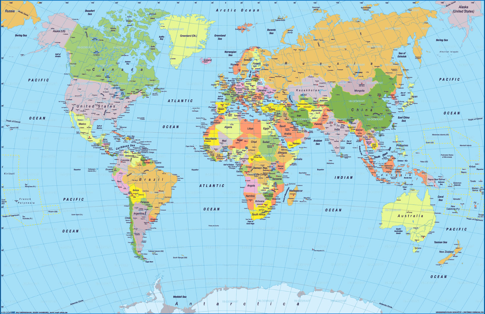
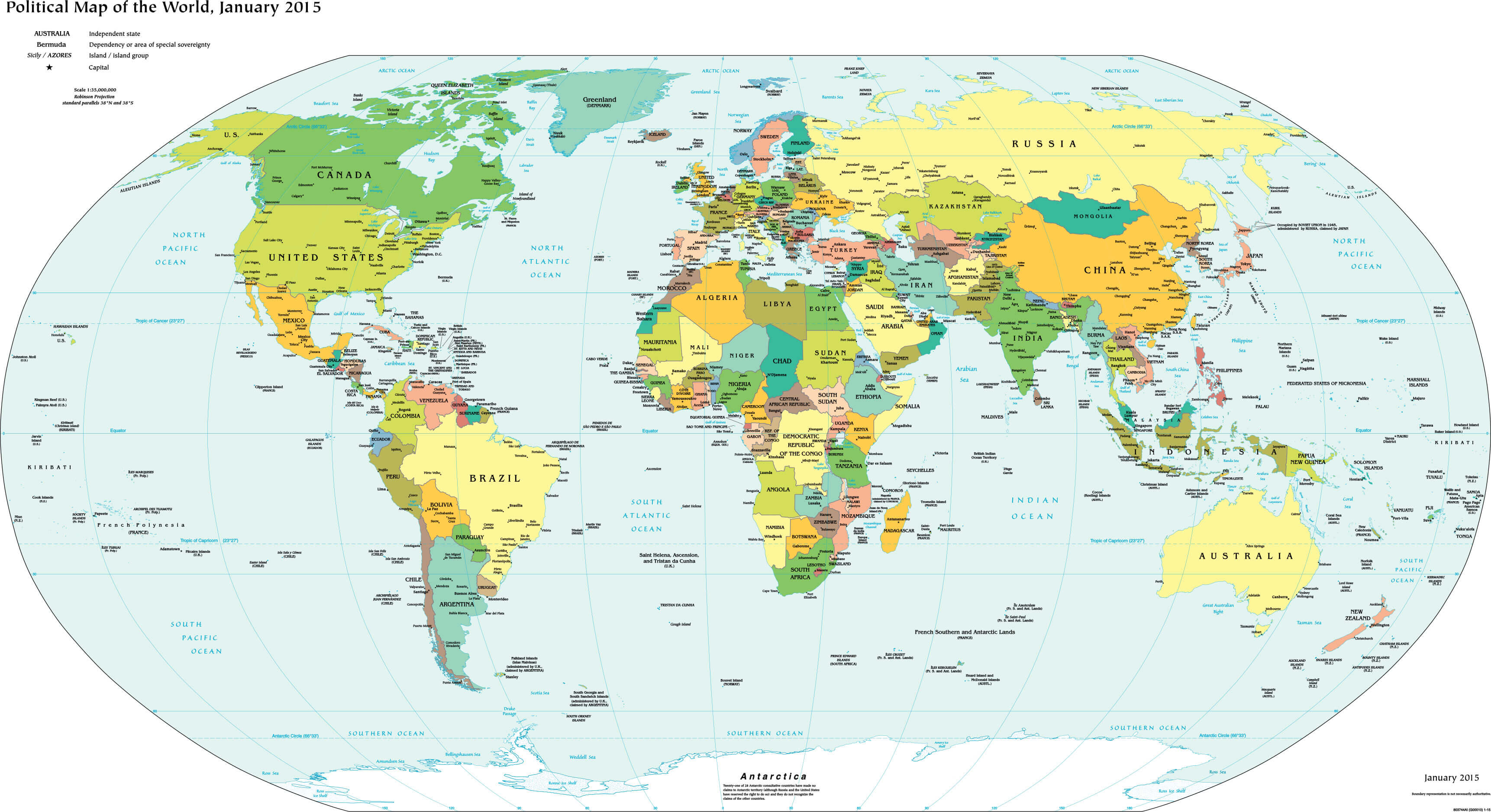
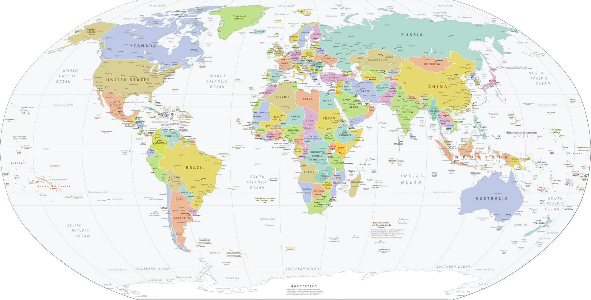
High Resolution World Political Map with Countries and Borders
 High resolution political world map with countries, borders and oceans labeled.
Discover a meticulously crafted high-resolution world political map that showcases clearly defined countries, international borders, and major oceans. Designed for educational, geographic, and reference use, this detailed map provides an in-depth perspective of global political divisions across continents. Its precision and clarity make it an invaluable tool for students, researchers, and travelers alike.
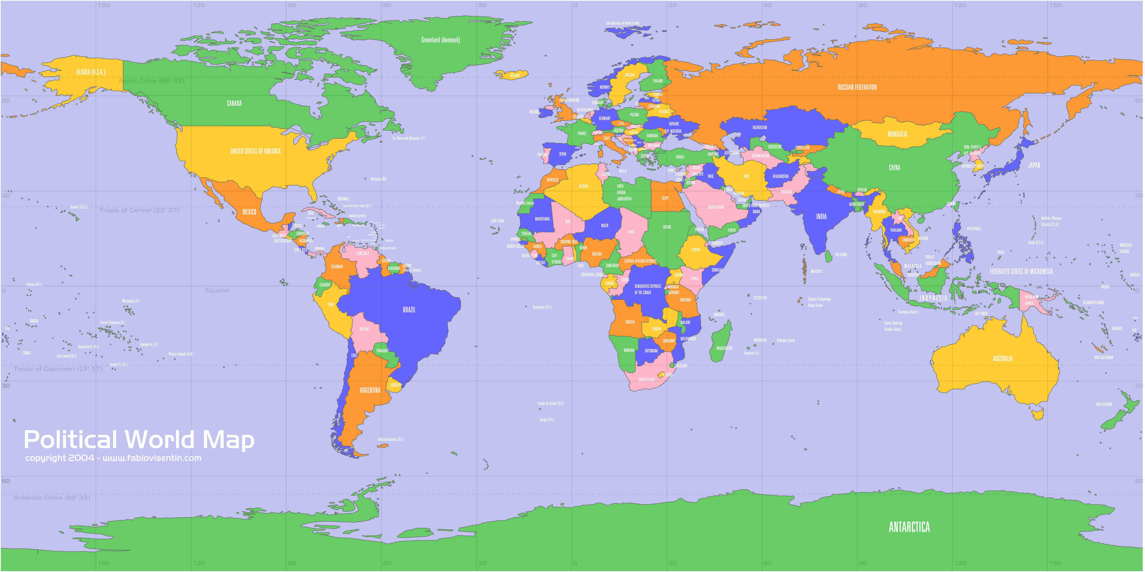
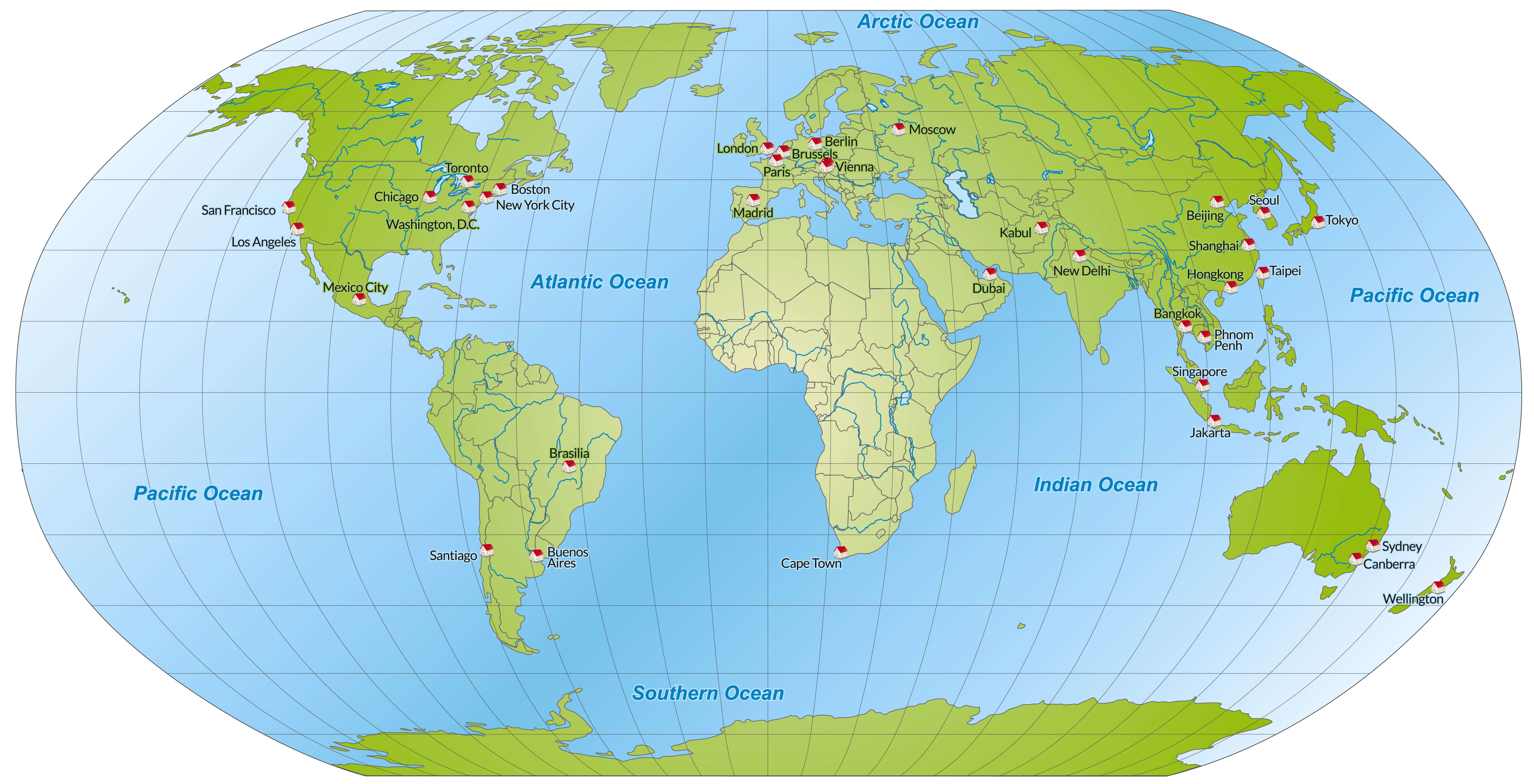
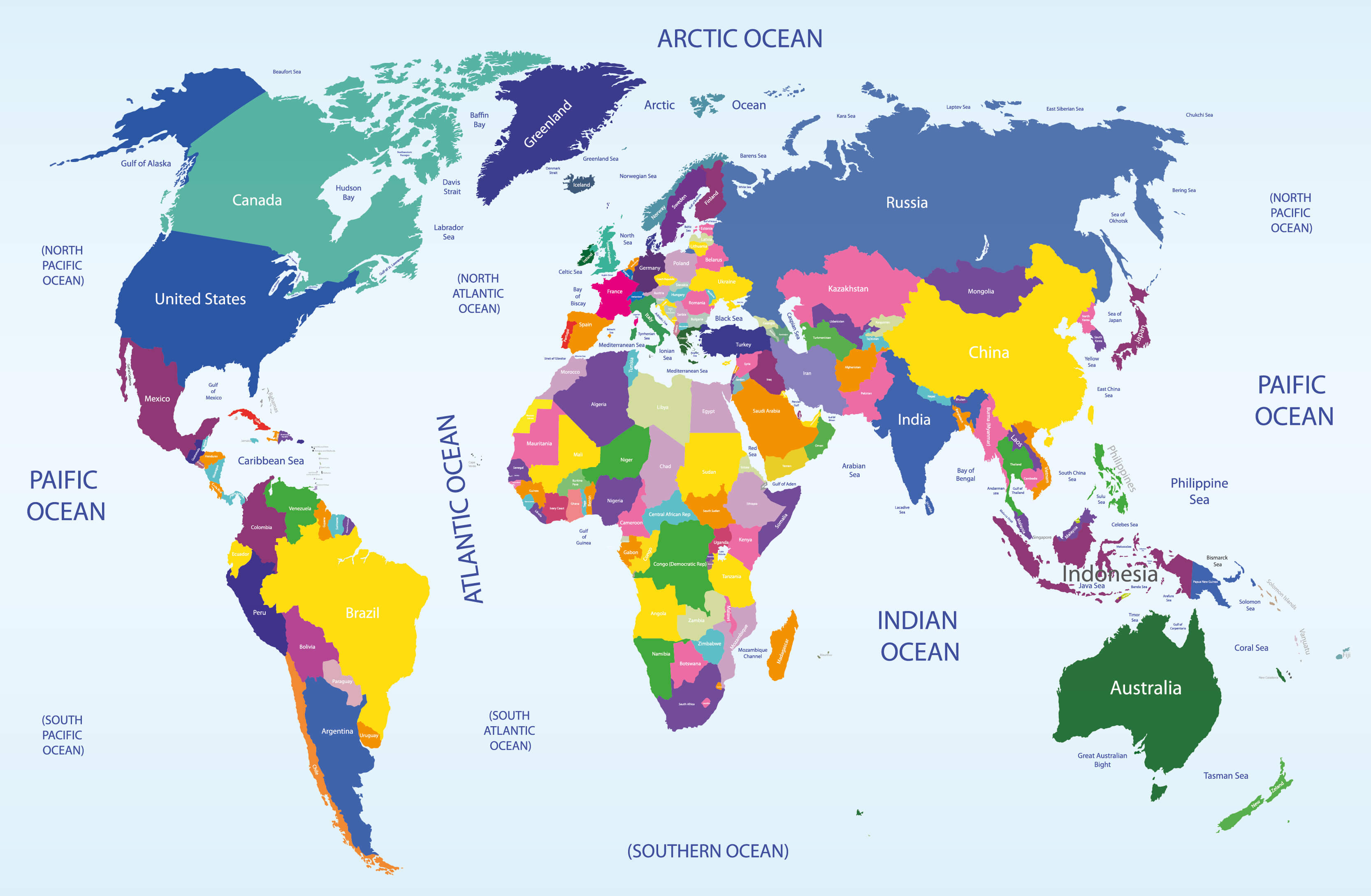
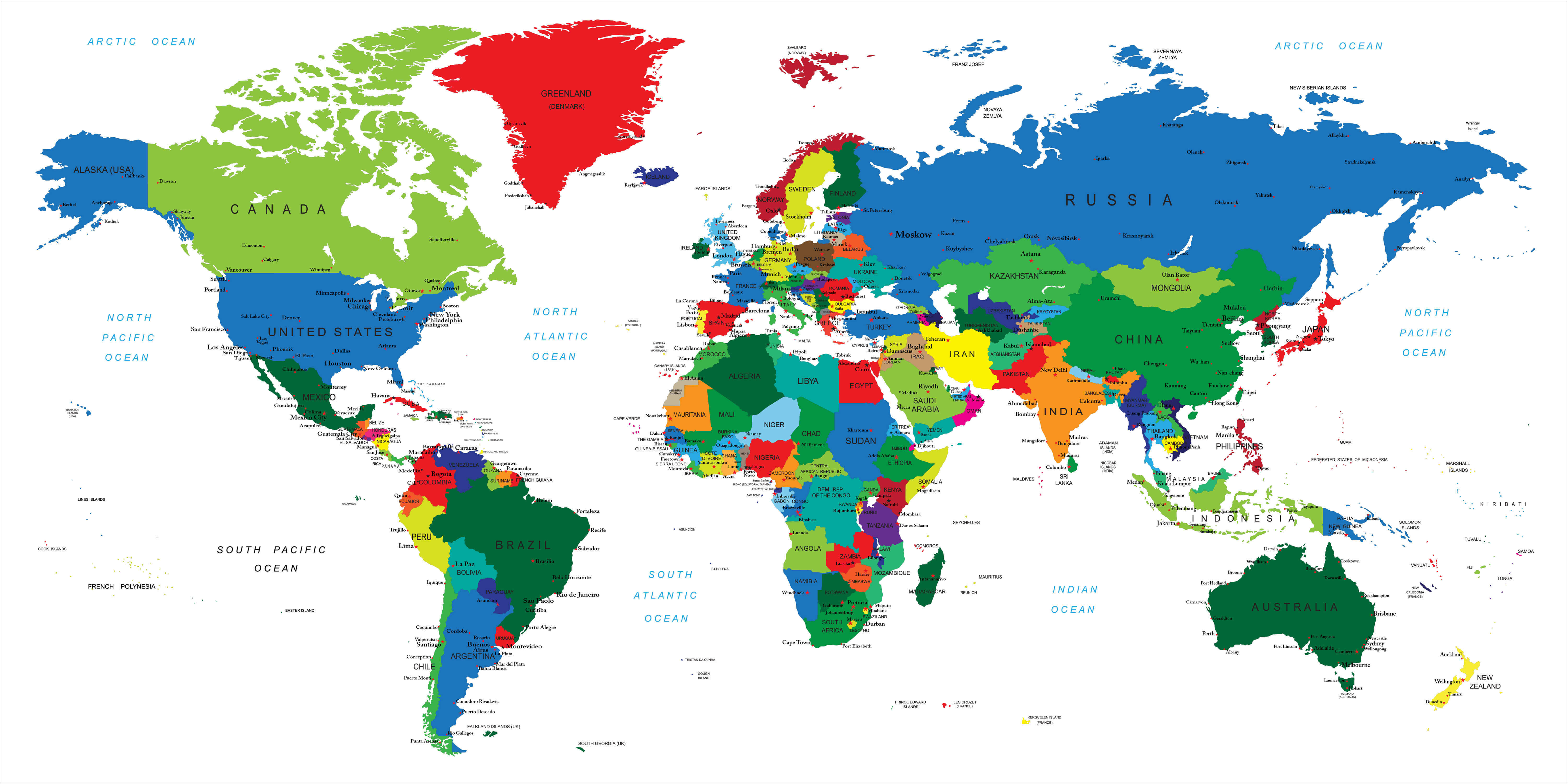
World Political Map with Countries and Capital Cities
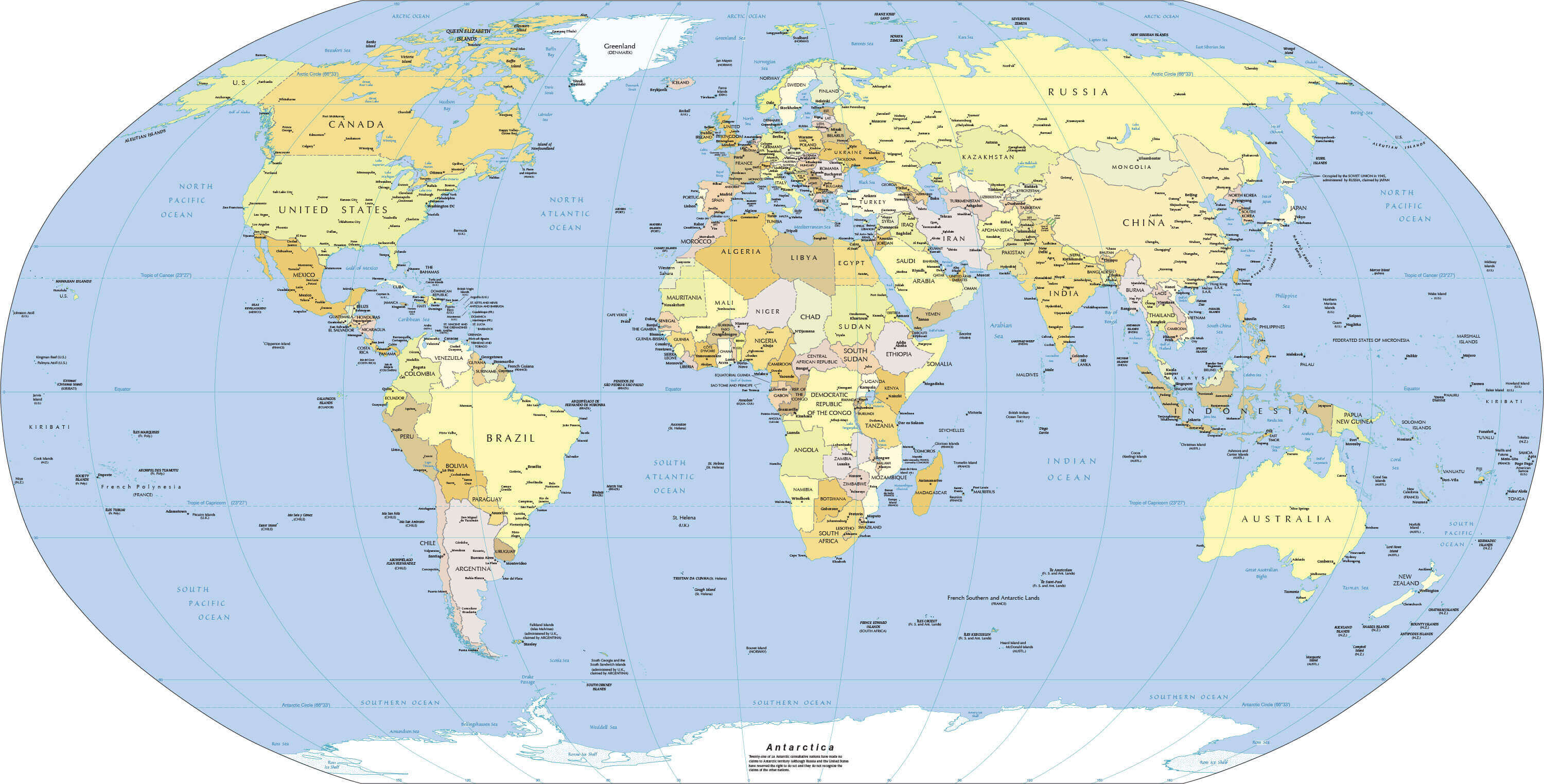
 Colorful world political map showing countries, capitals, and major oceans.
This comprehensive political map highlights all recognized sovereign states, their capital cities, and distinct international boundaries. Featuring vibrant color-coding for each nation and meticulously labeled geographic details, it serves as an essential resource for classrooms, professional settings, or personal study. Whether for academic projects, global awareness, or travel planning, this map offers a clear and accurate representation of the world's political landscape.
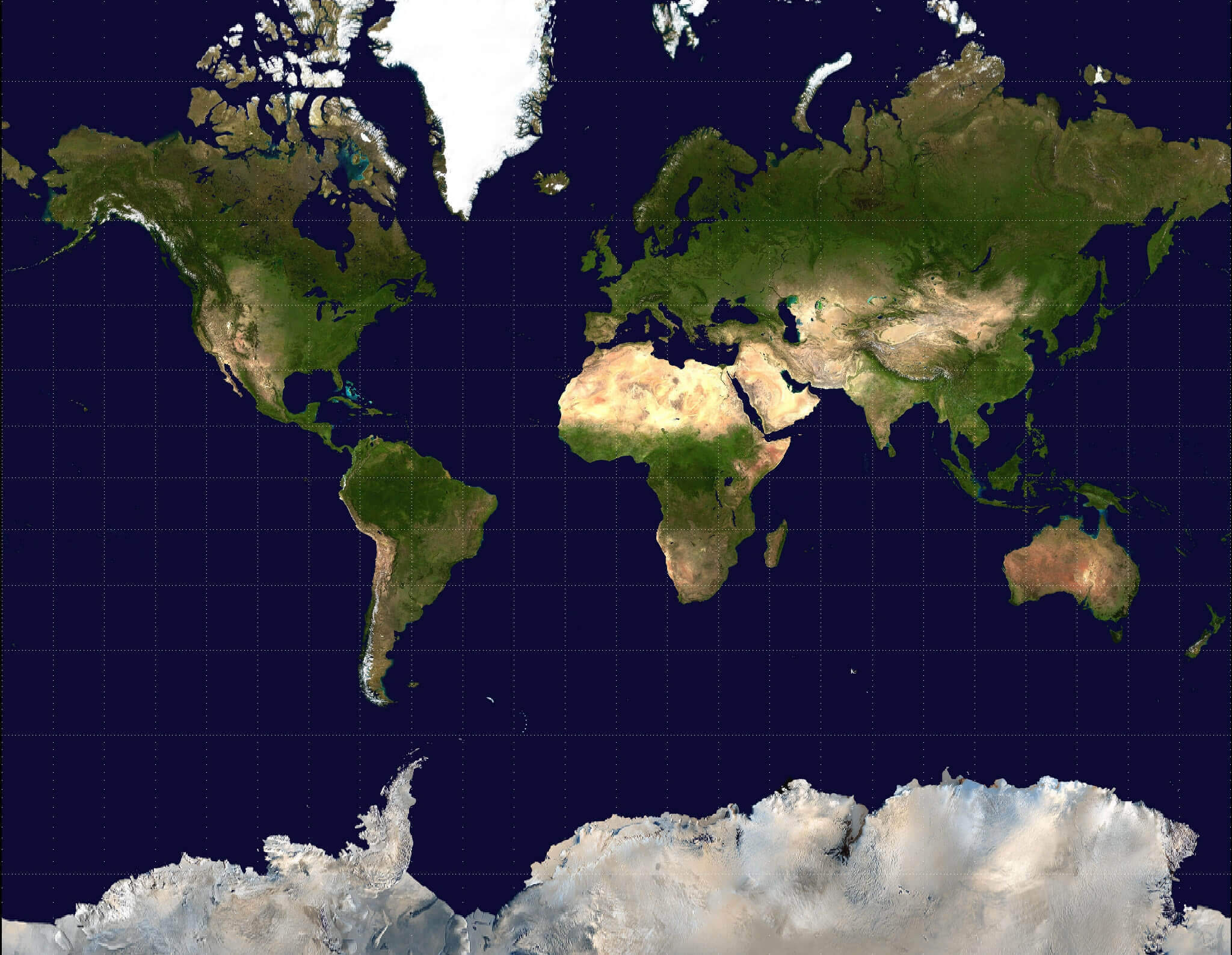
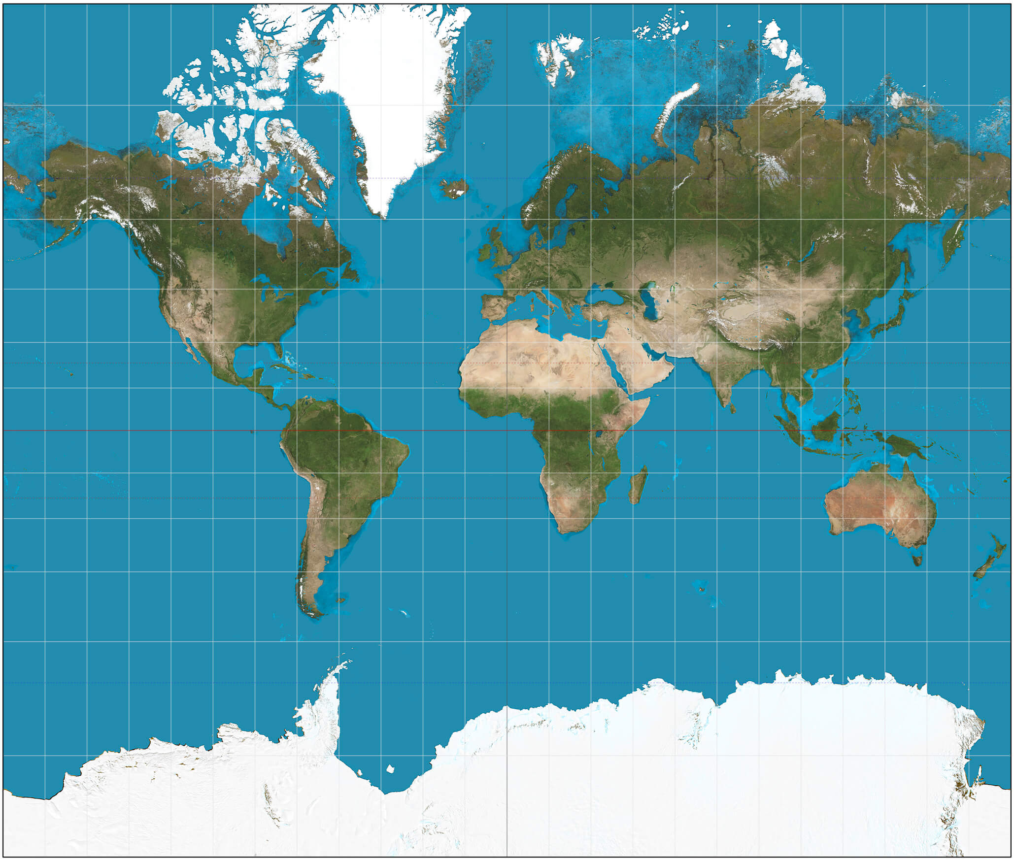
Blank physical World map with Pacific centered
World physical map with oceans
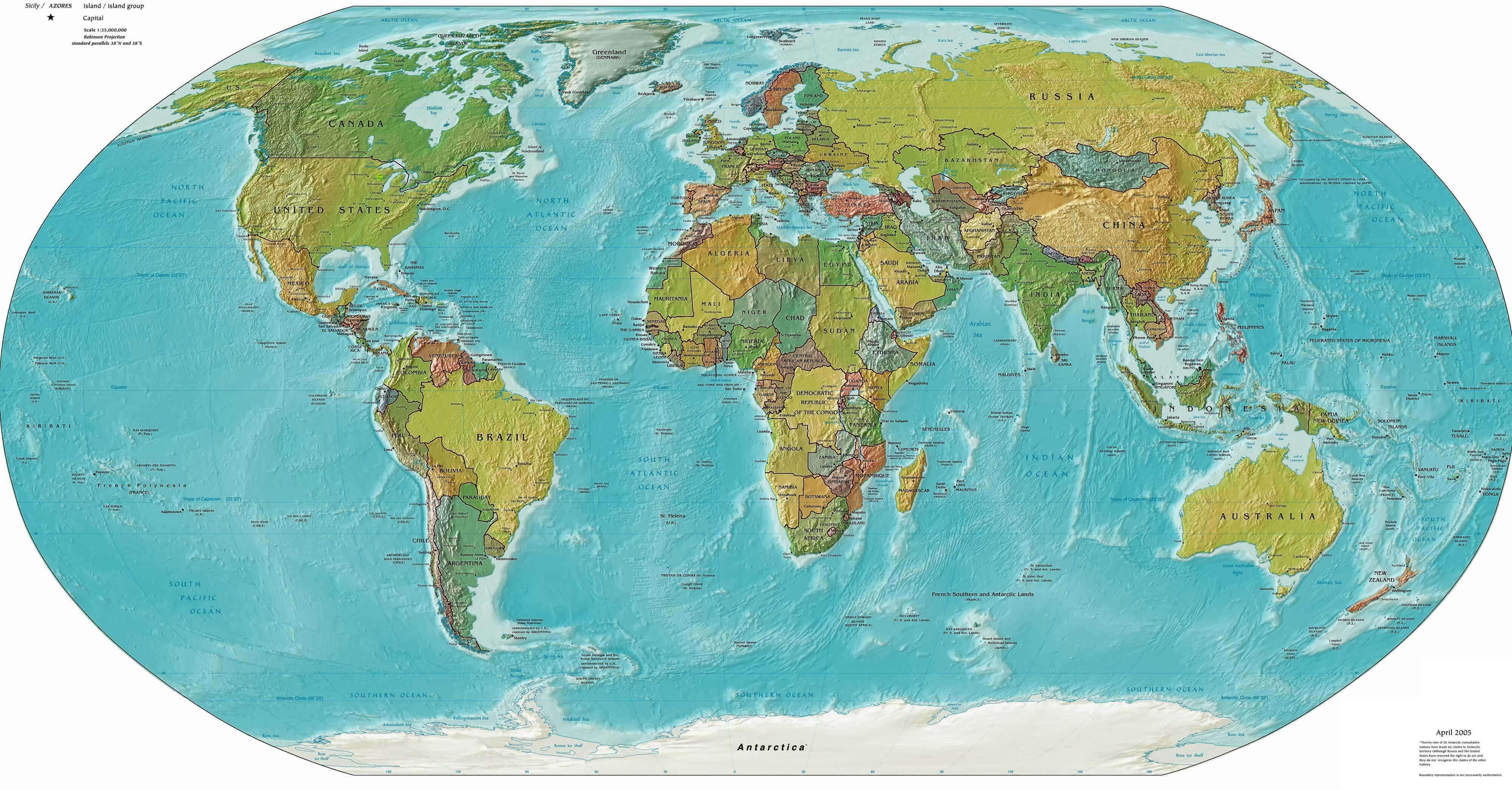
Outline political map of the World countries
Political map of the World
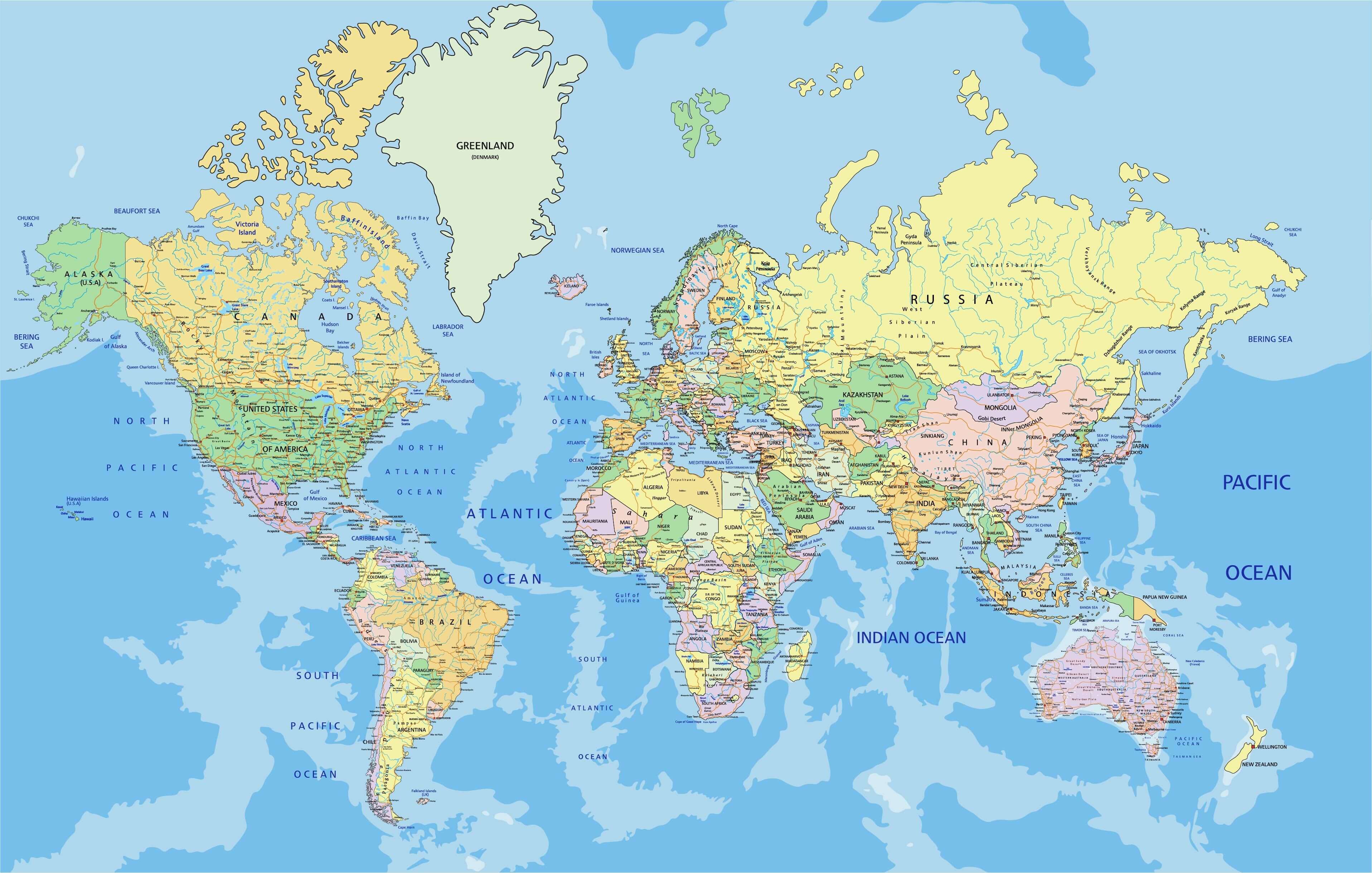
Political map of the World with countries and major cities
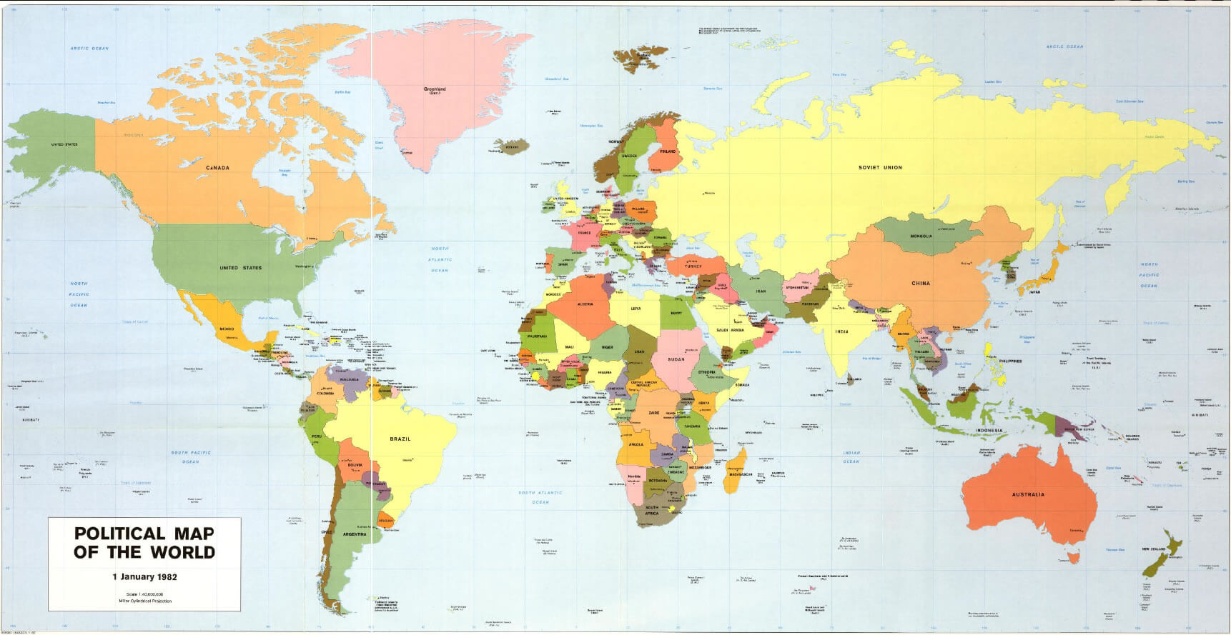
World political map
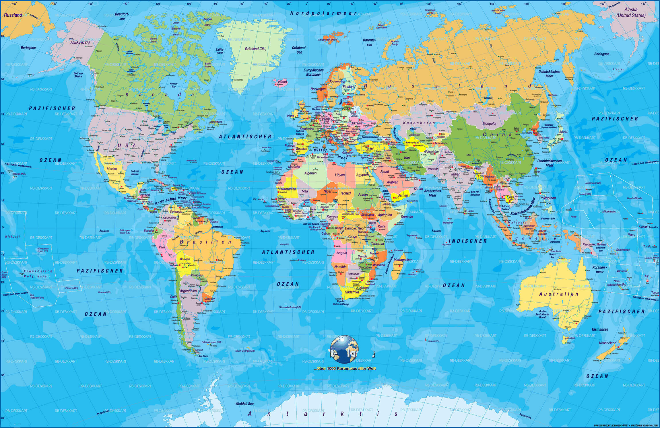
World political map in German
Political map of the World by country and oceans
Political map of the World by country
Political map of the World with country borders
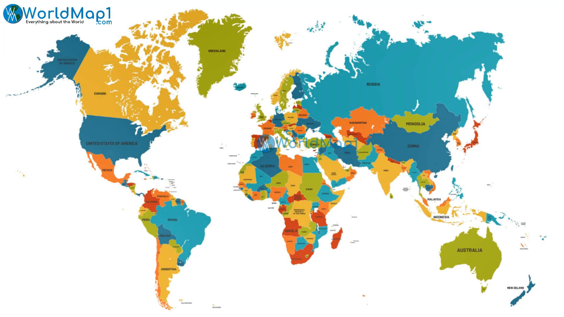
Political map of the World with country names
Political map of the World
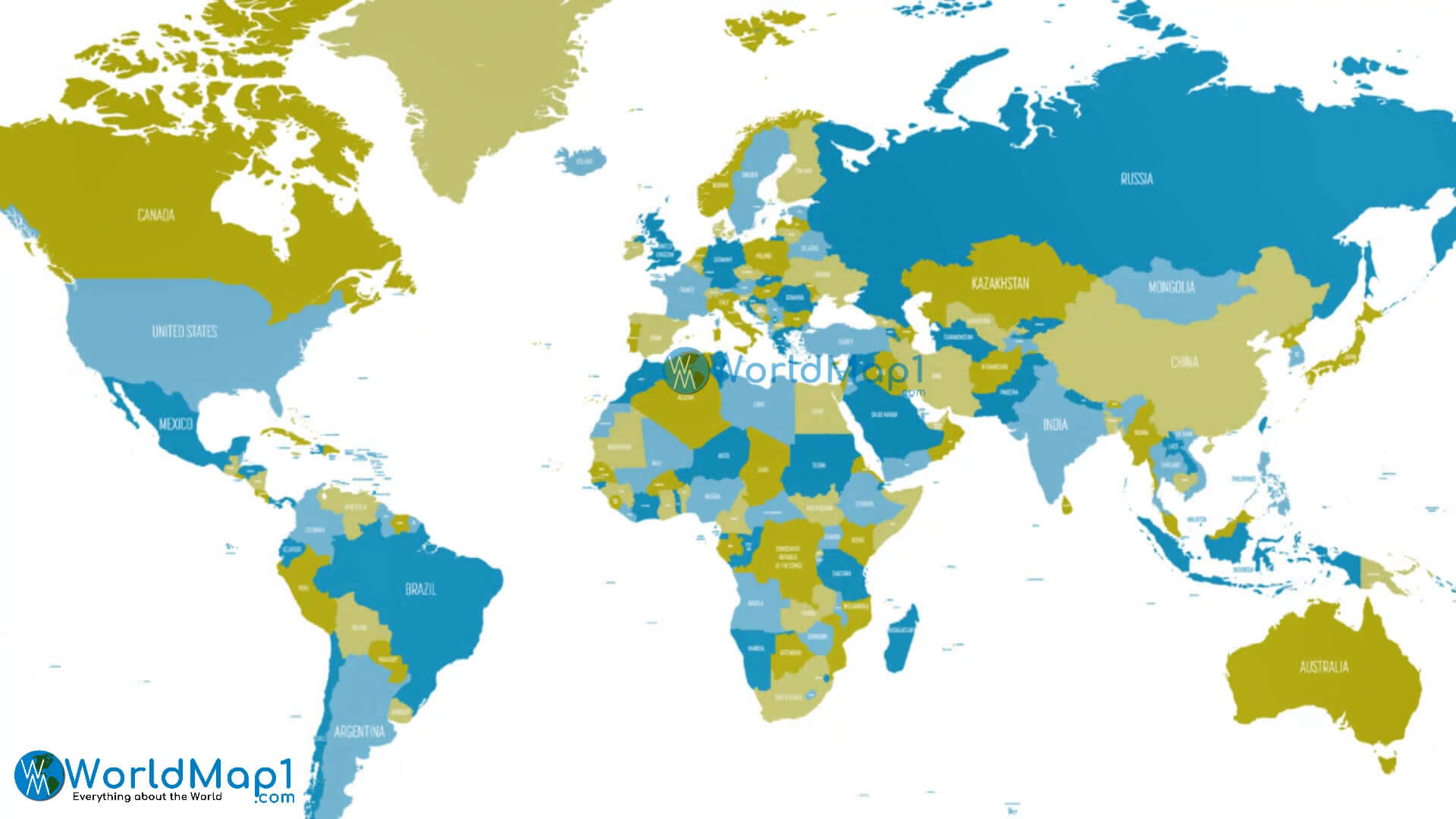
World countries boundary map
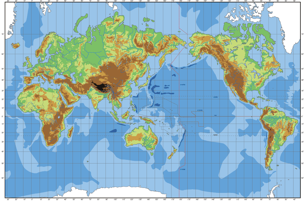
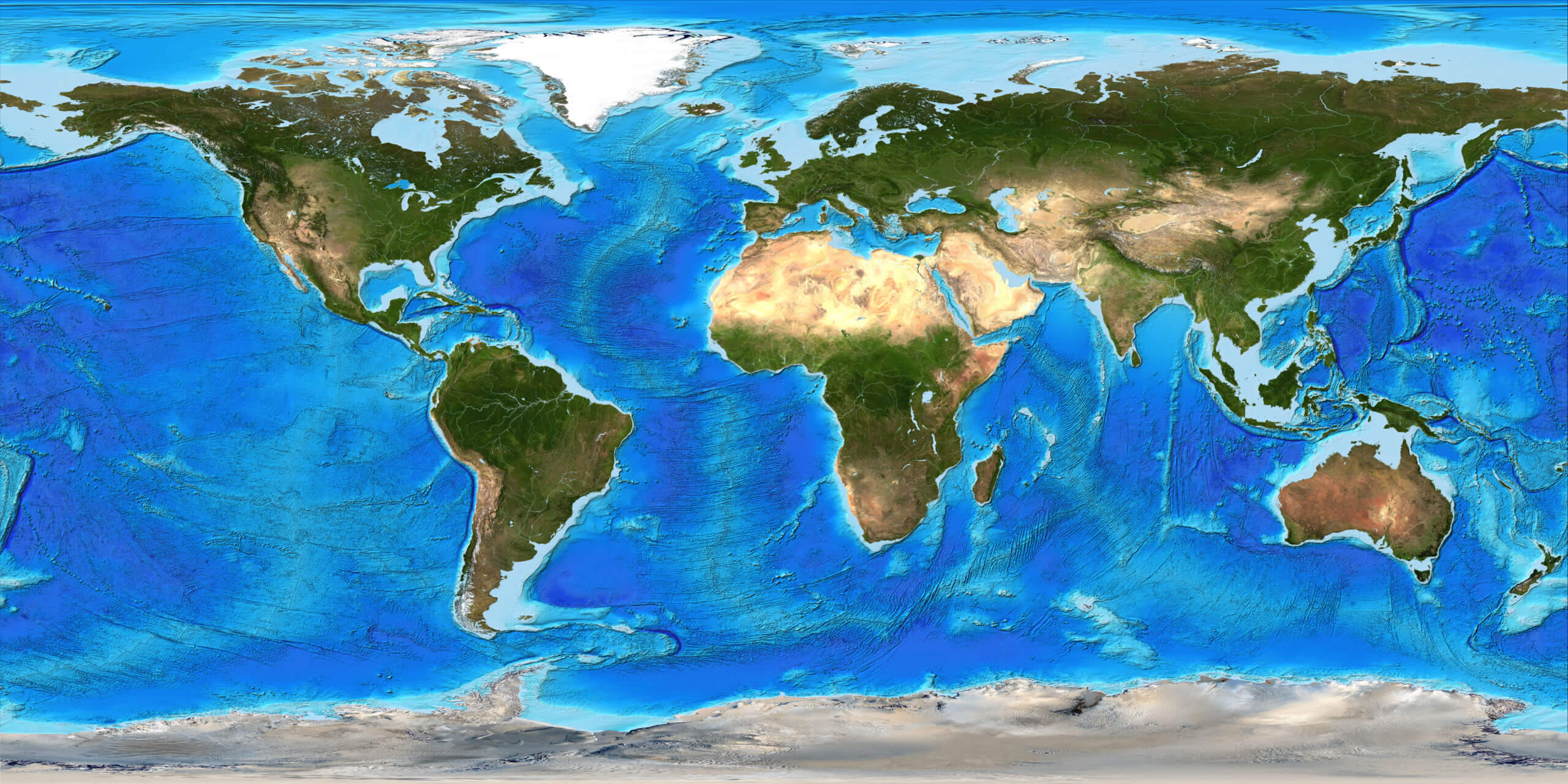
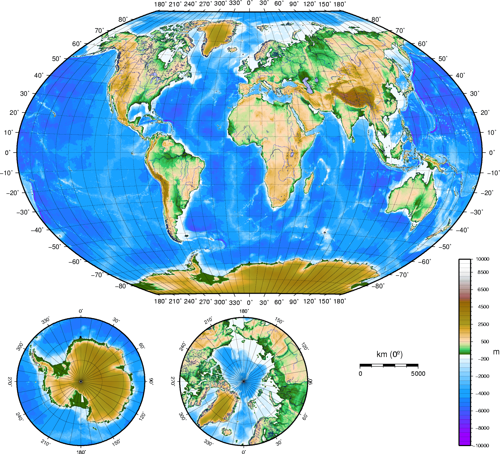
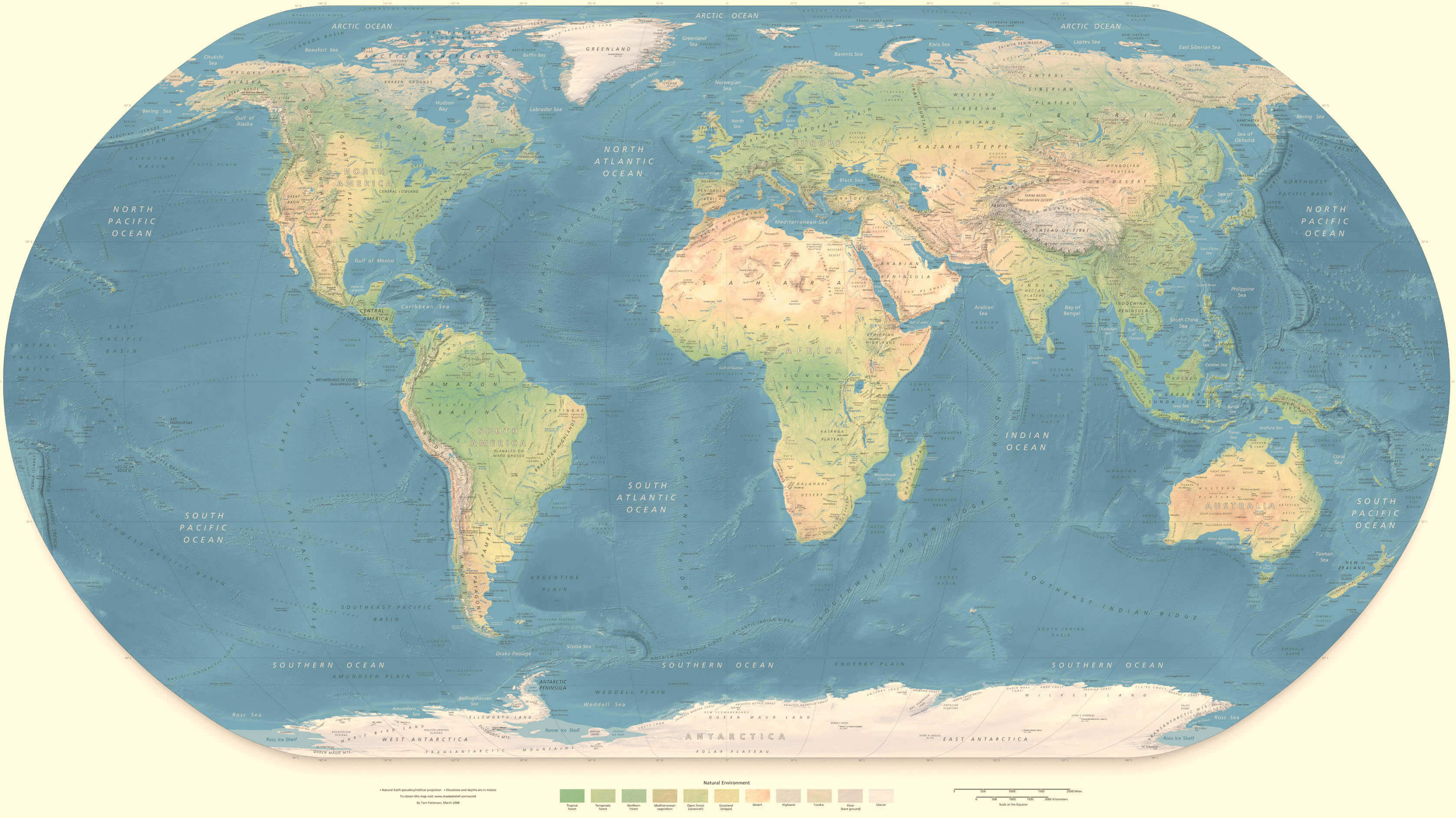
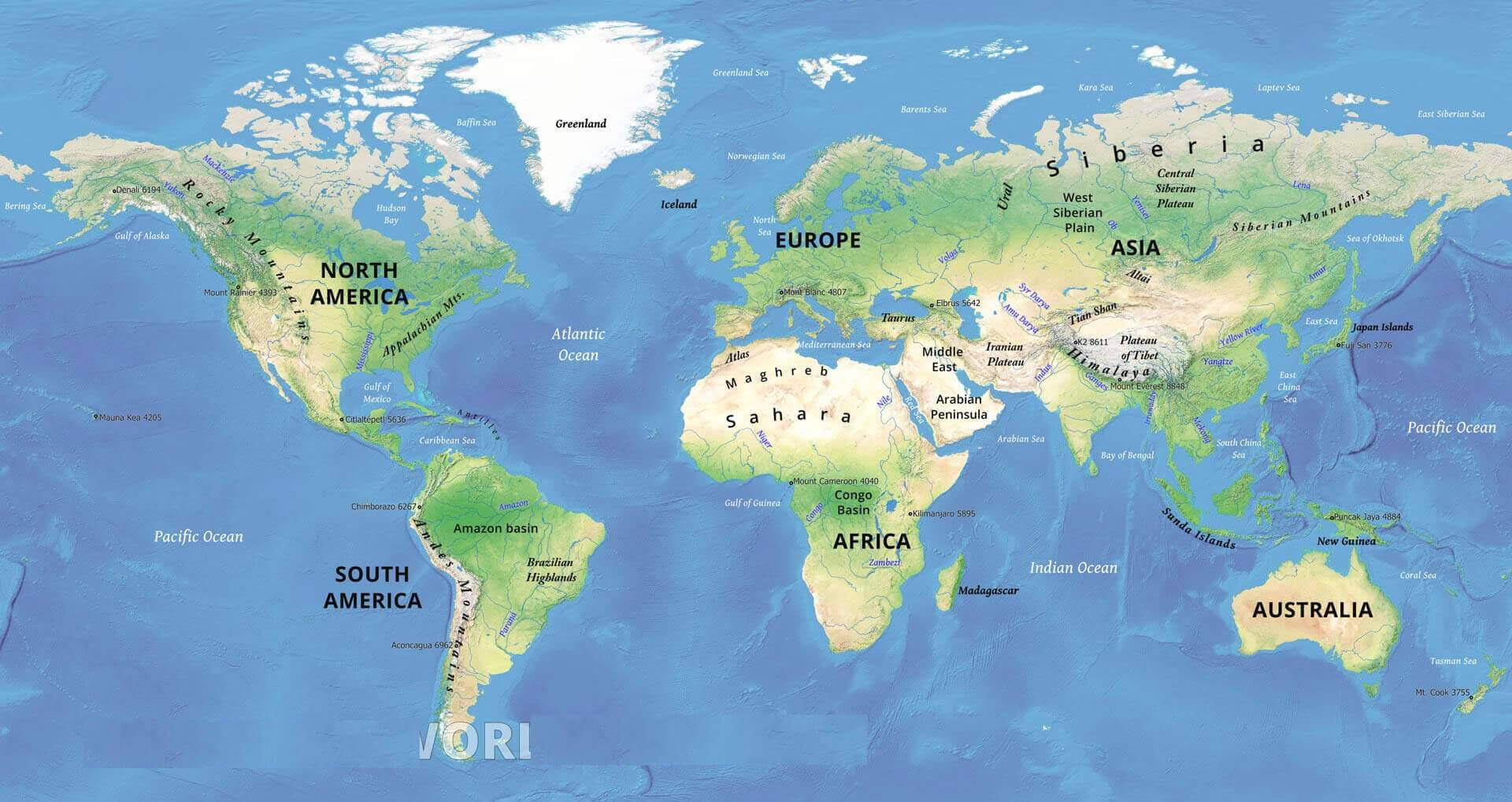
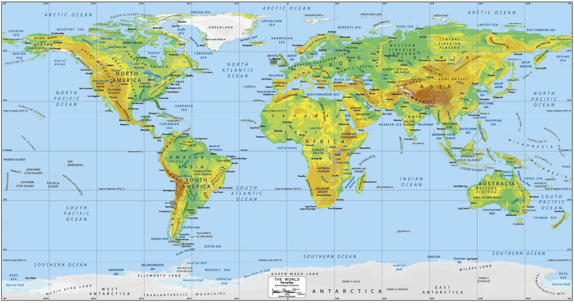
Physical and Elevation Map of the World: Landforms and Terrain at a Glance
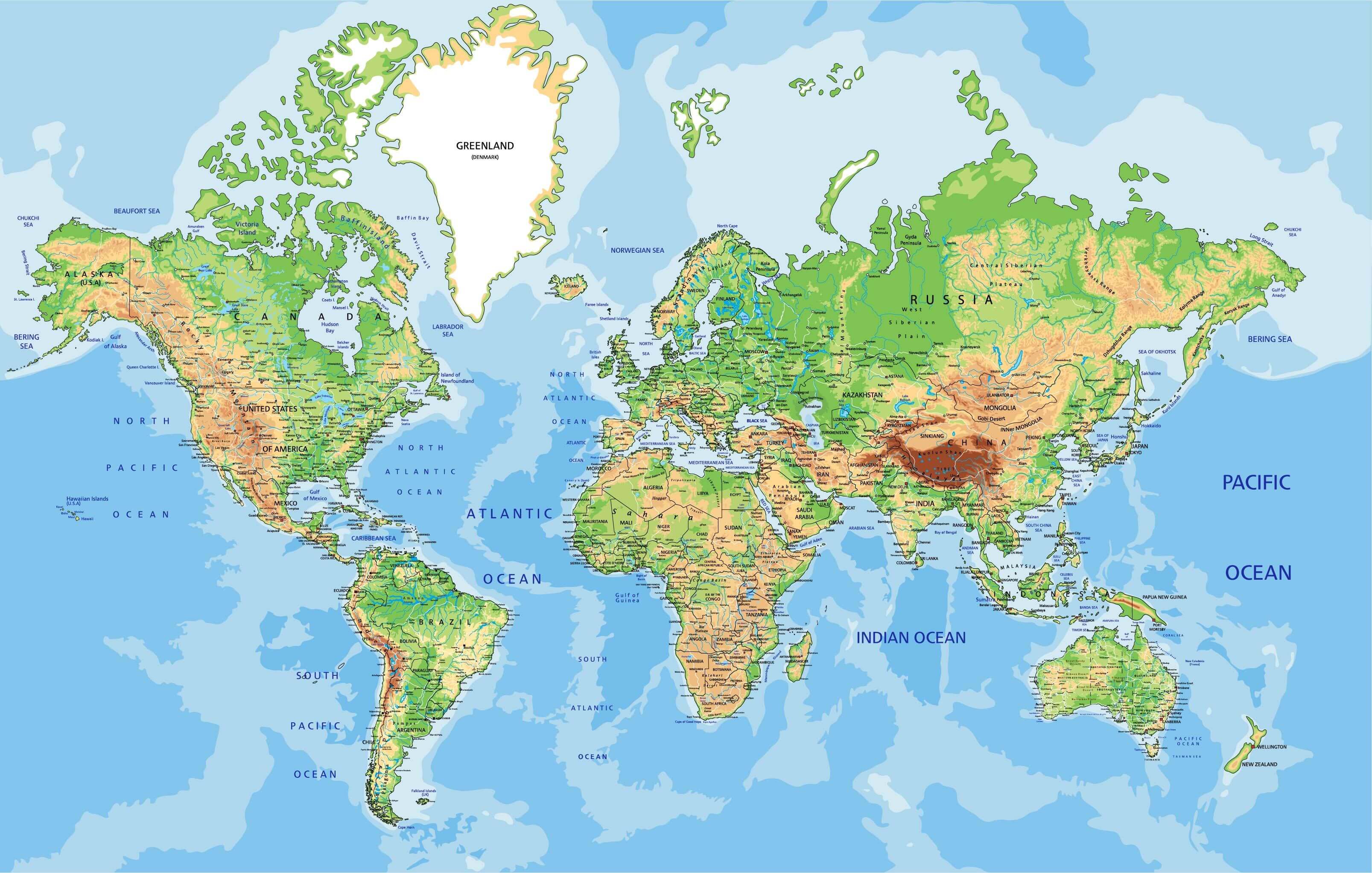 World physical elevation map with oceans, mountains, rivers, and terrain details.
This detailed physical and elevation map of the world highlights mountains, valleys, rivers, deserts, and ocean depths. It visually represents Earth's varied topography and terrain using shaded relief. Ideal for students, researchers, or travelers seeking geographic insights at a global scale.
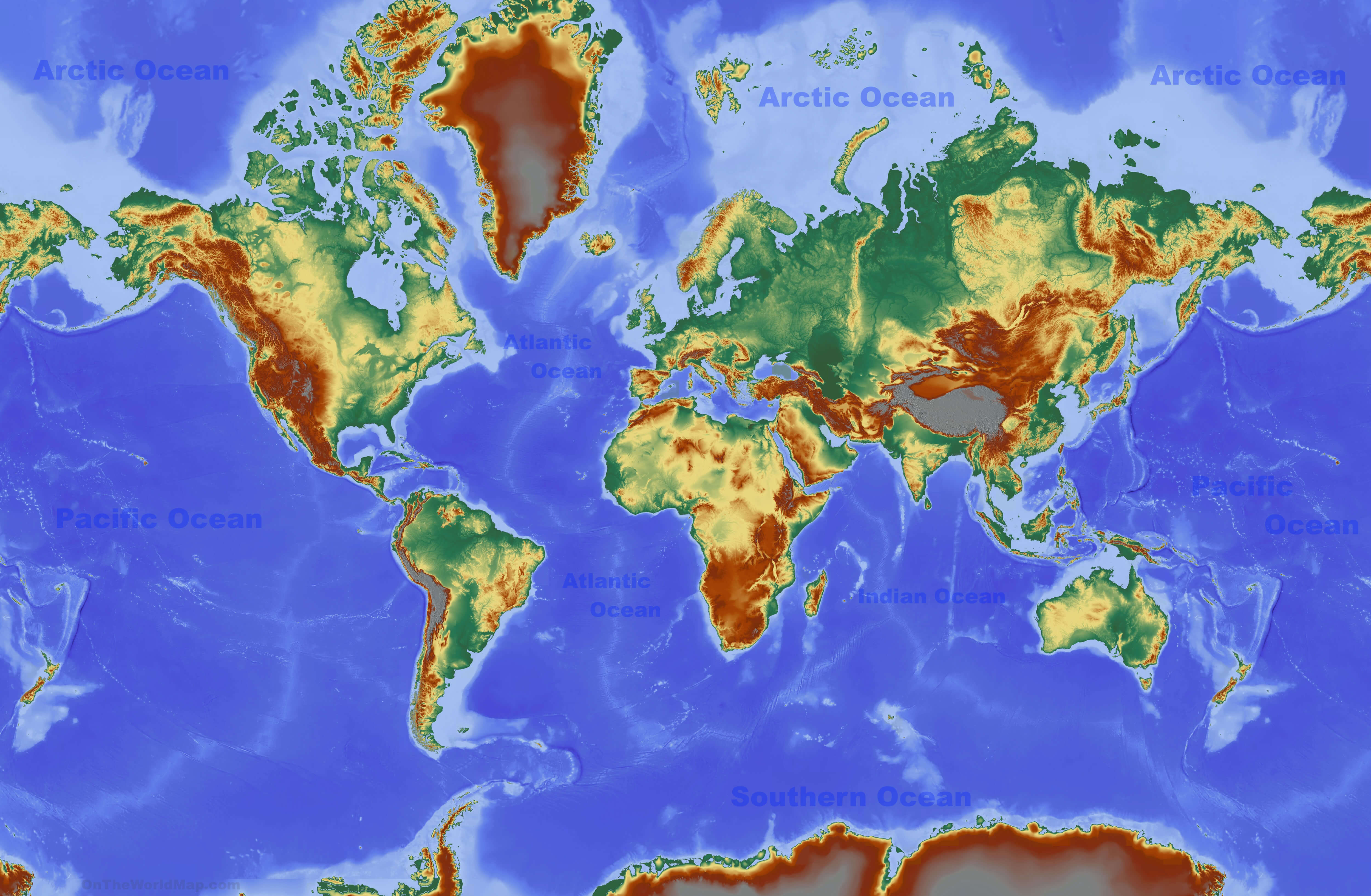
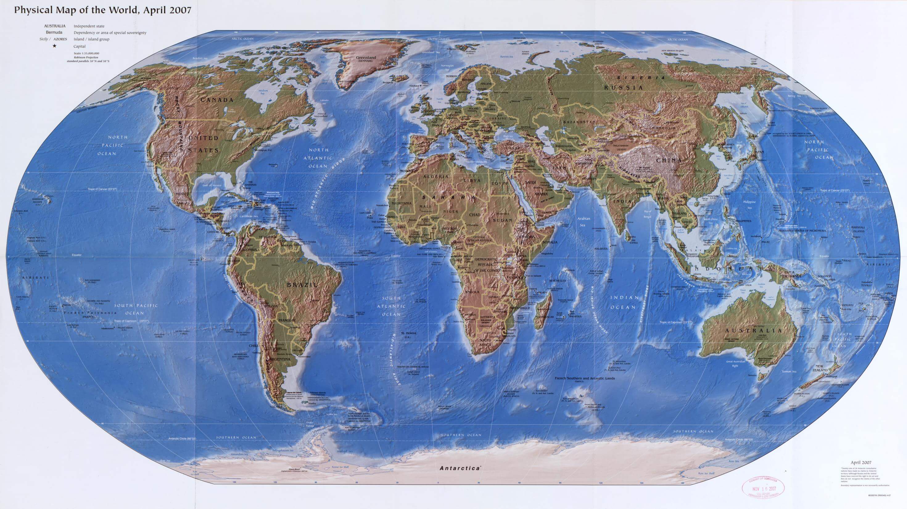
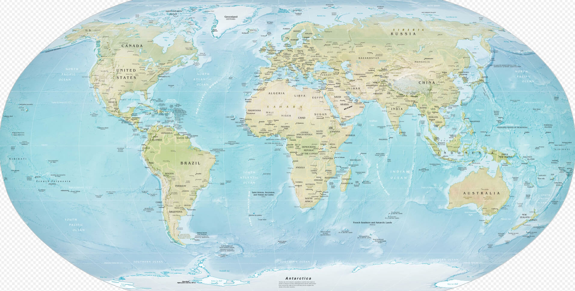
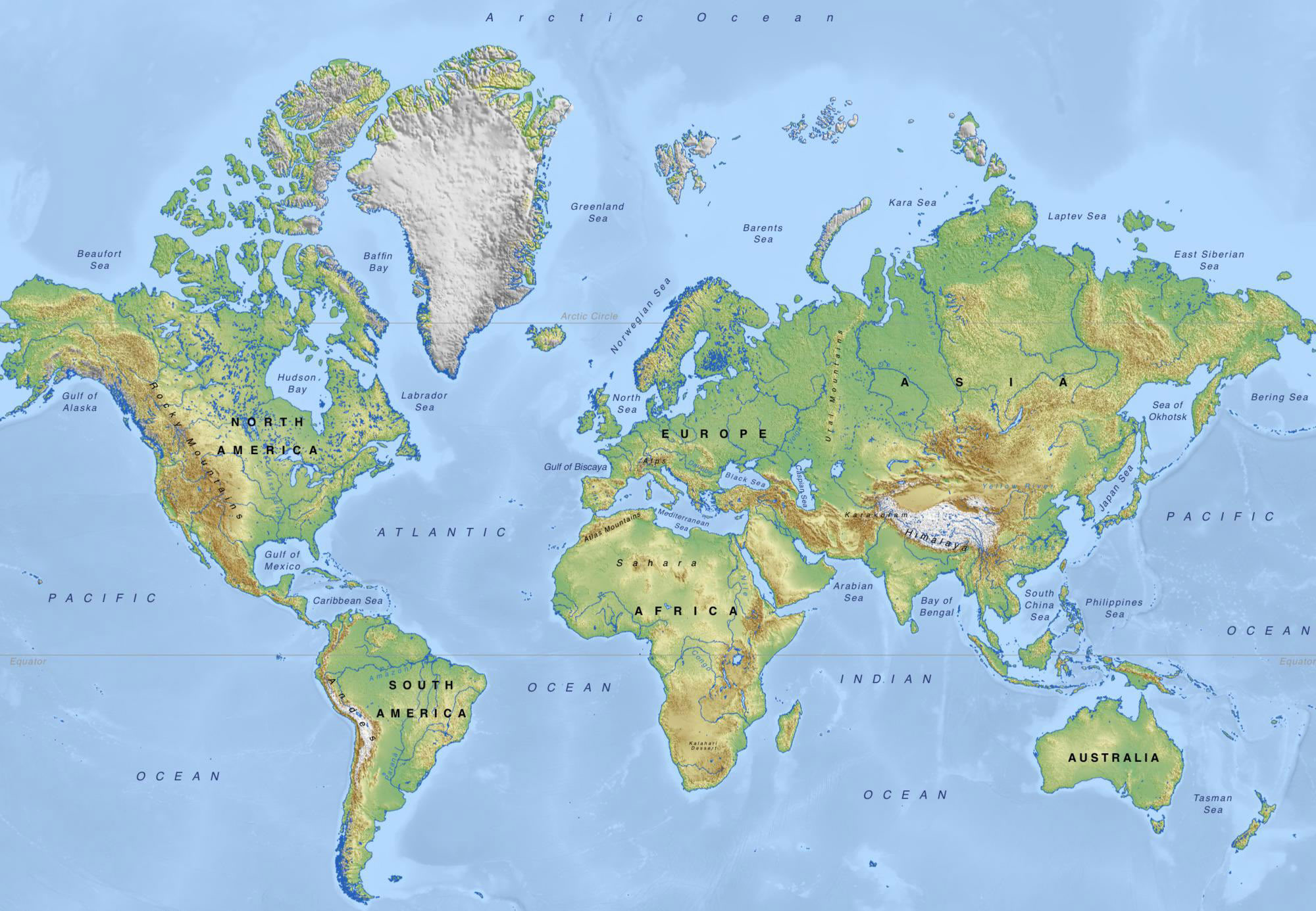
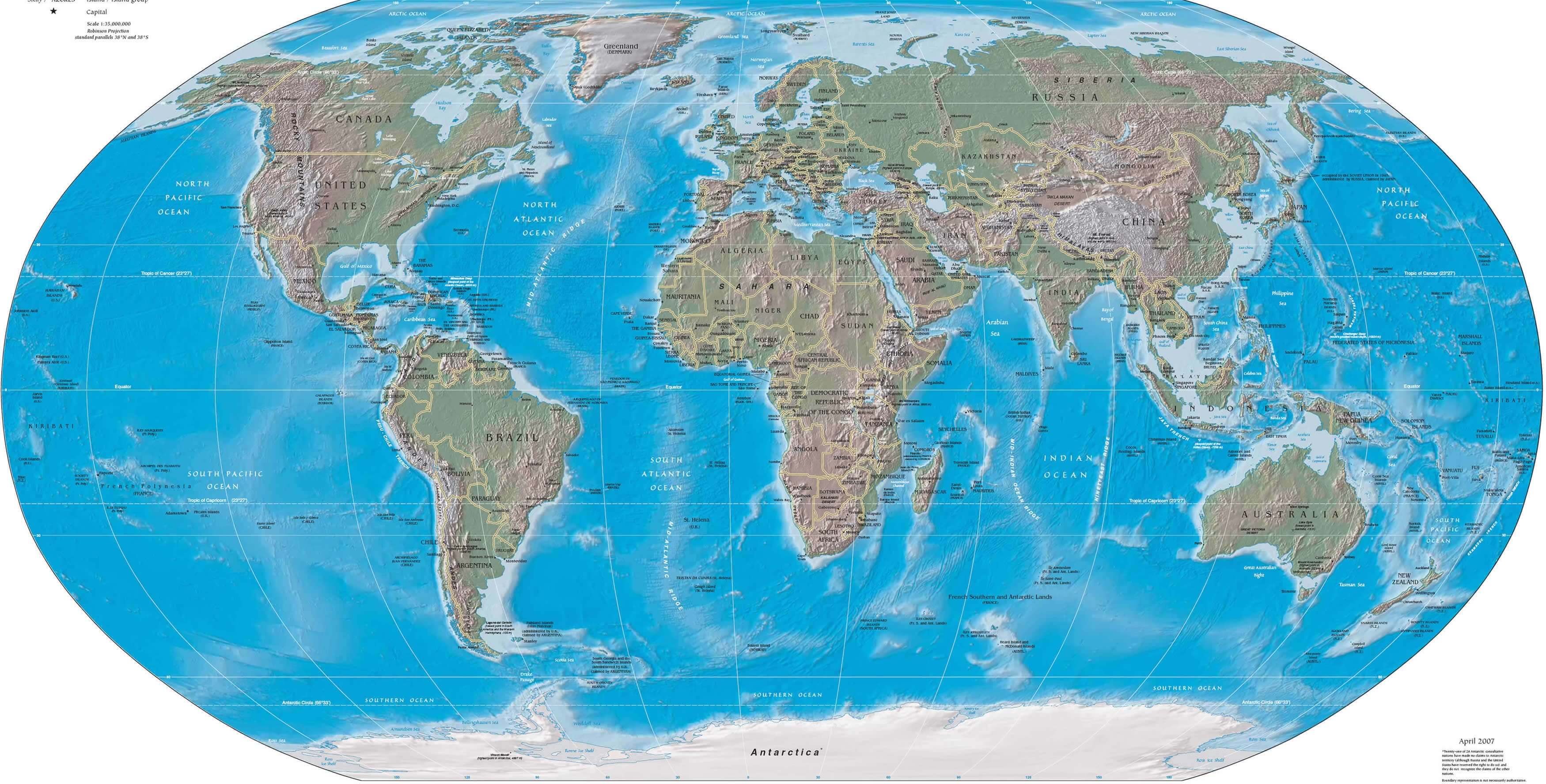
World Physical Political Map: A Global View of Geography and Borders
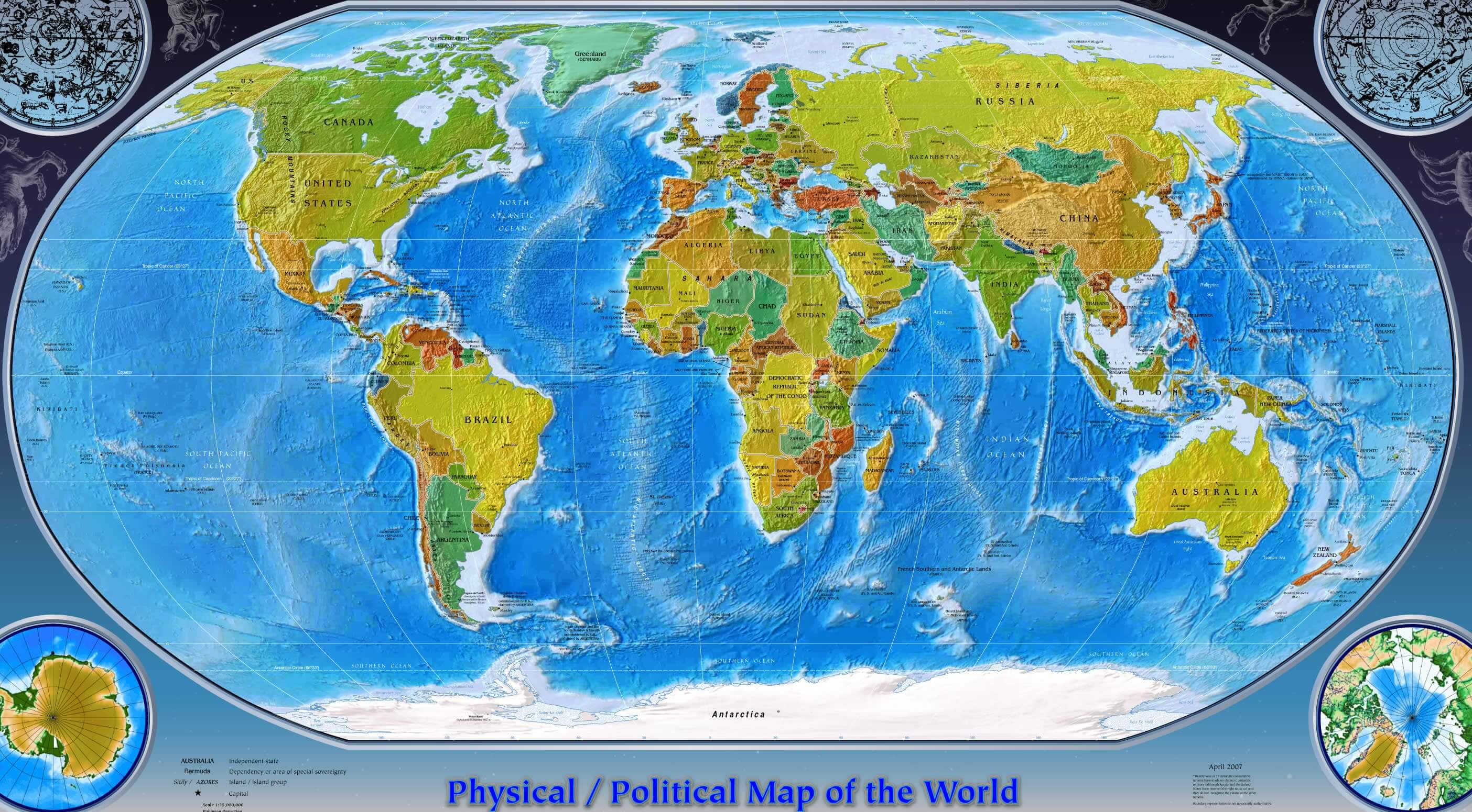 World map showing political borders and physical terrain of all countries and oceans.
This world physical political map blends geographical features like mountains and oceans with national borders, making it ideal for education and reference. See how natural landforms intersect with geopolitical boundaries across continents, highlighting the full complexity of Earth's layout.
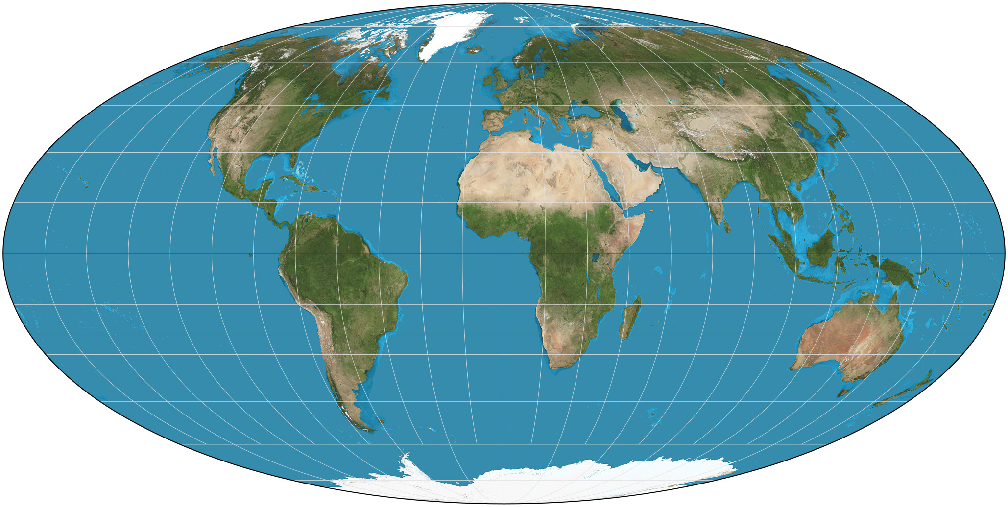
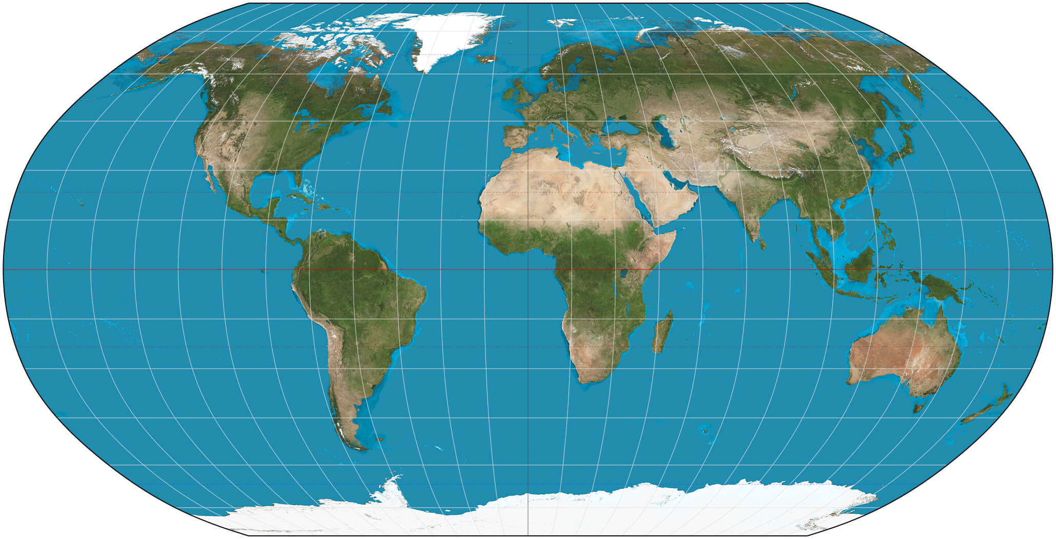
Blank World physical and satellite map
Large World physical map
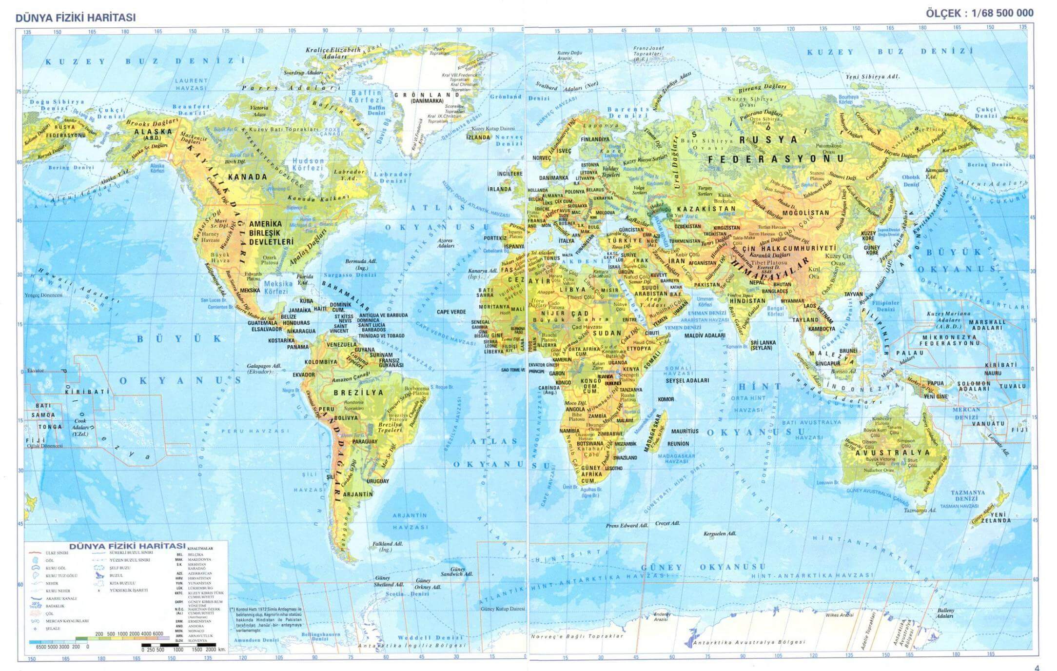
Physical map of the World in Turkish
Physical map of the World with continents and Antarctica
Physical map of the World with elevation
Physical map of the World with latitude and longitude
Physical map of the World with topographical
Physical map of the World
Physical map of World
Physical World map with longitude latitude

Physical World map
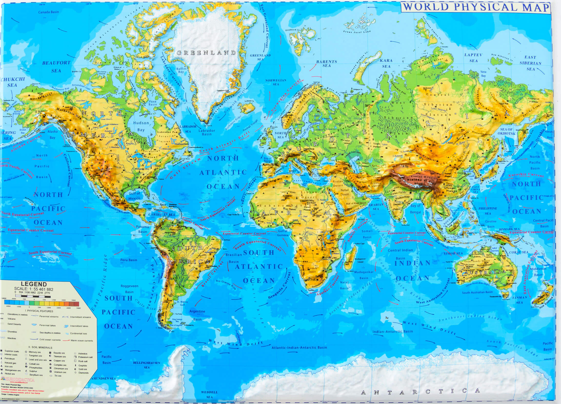
Political physical map of the World
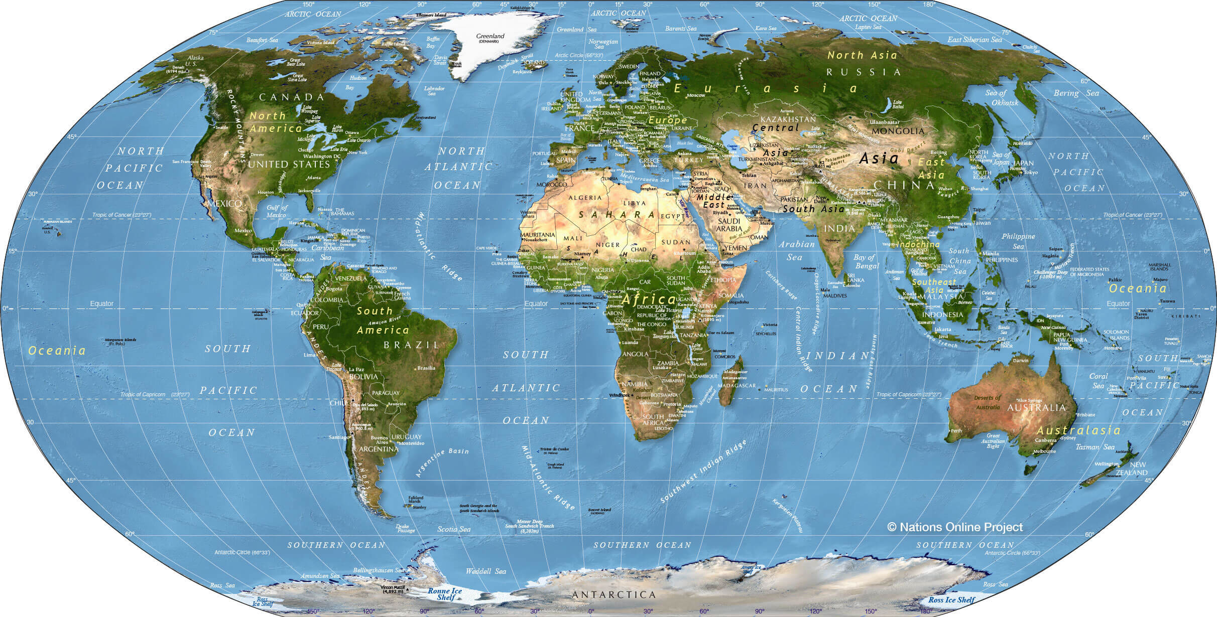
World continents physical map
World globe physical map
World physical map National Geographic
World physical map with continents
World physical map with countries
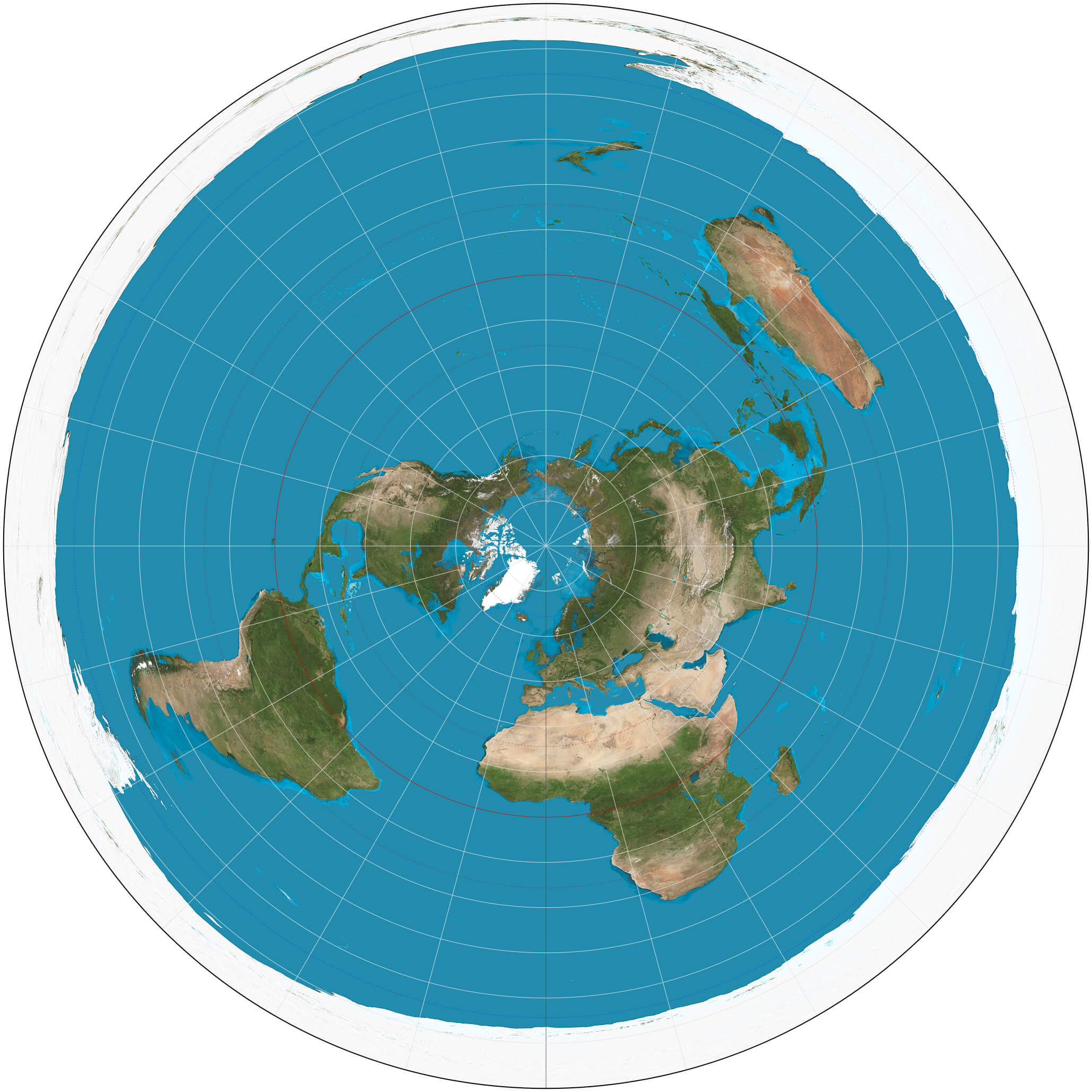
World physical map with Greenland and South Pole
World physical map
Feel free to explore these pages as well:
Author: Arif Cagrici