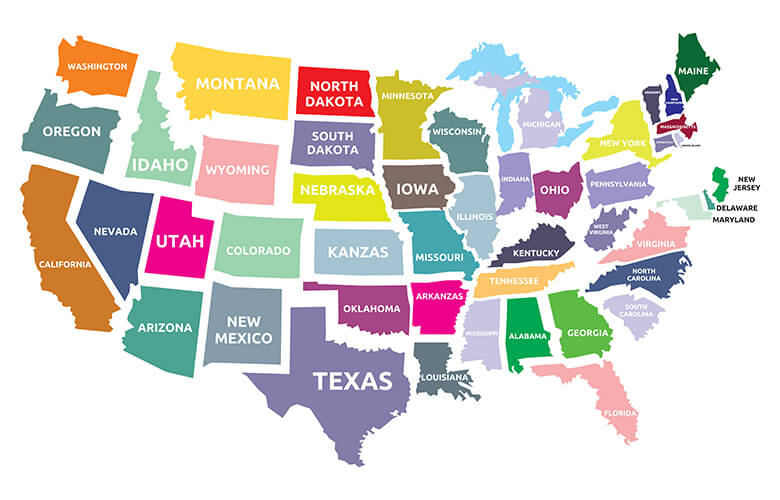
United States States Map
Explore the United States map with all 50 states, including Alaska and Hawaii. View state boundaries, capitals, major cities, and surrounding oceans. Ideal for geography learning, travel planning, or educational use — this detailed USA map highlights the nation's diversity and structure clearly.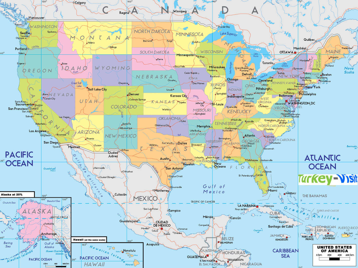
The United States States Map shows all 50 states, including Alaska and Hawaii, highlighting their boundaries, locations, and geographical layout. It is a valuable tool for learning state names, capitals, and regions, as well as understanding how each state fits into the broader landscape of the country.
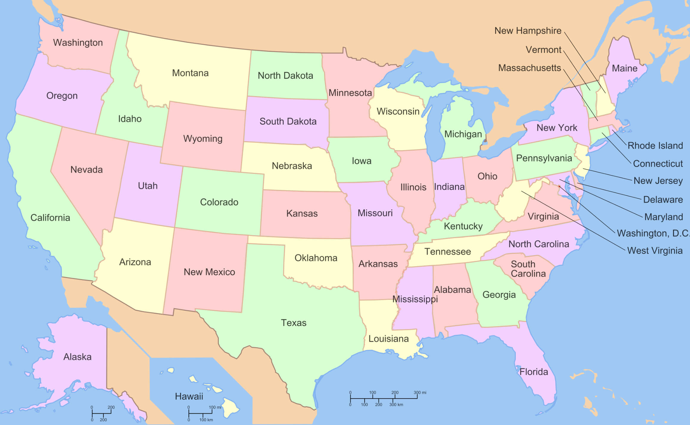
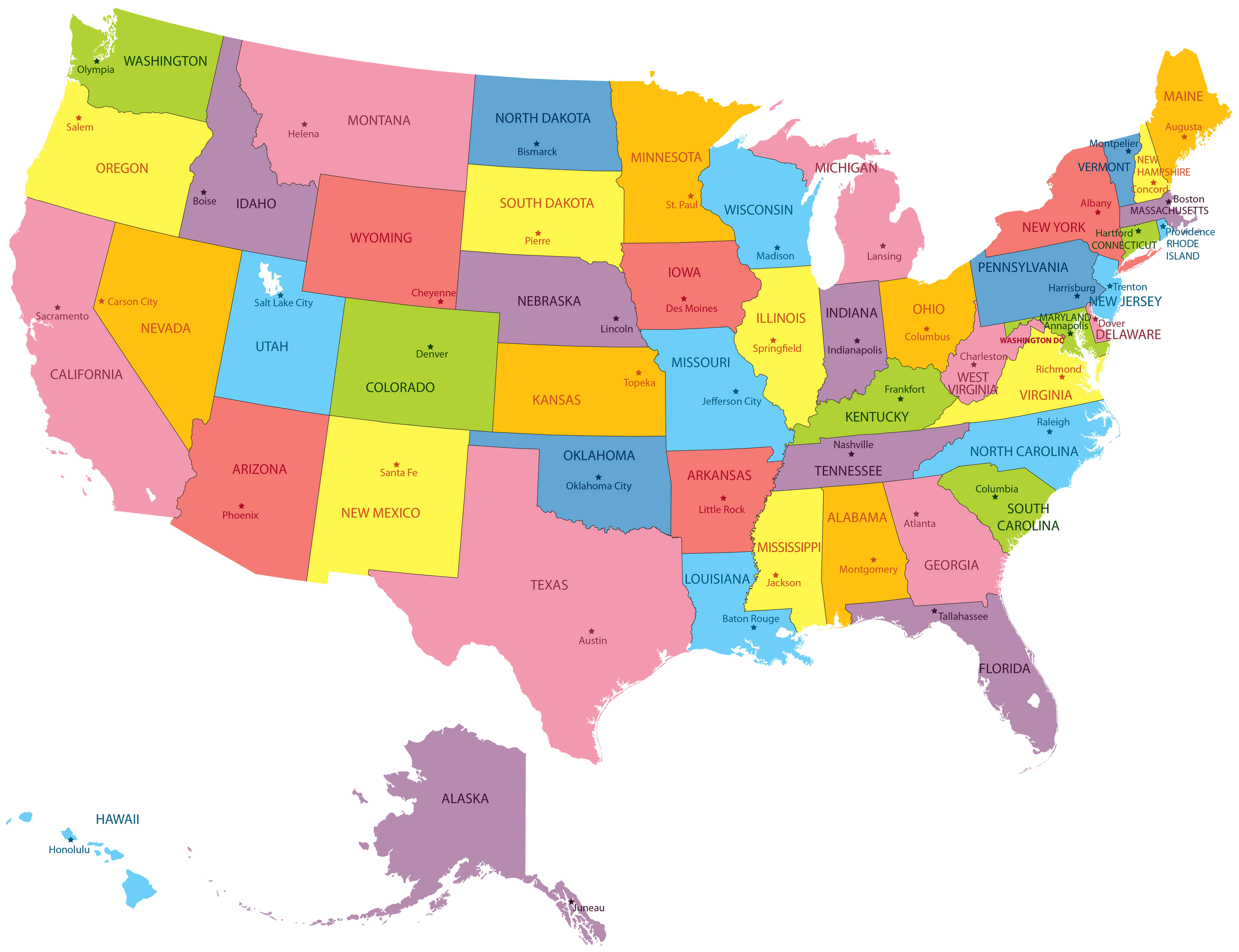
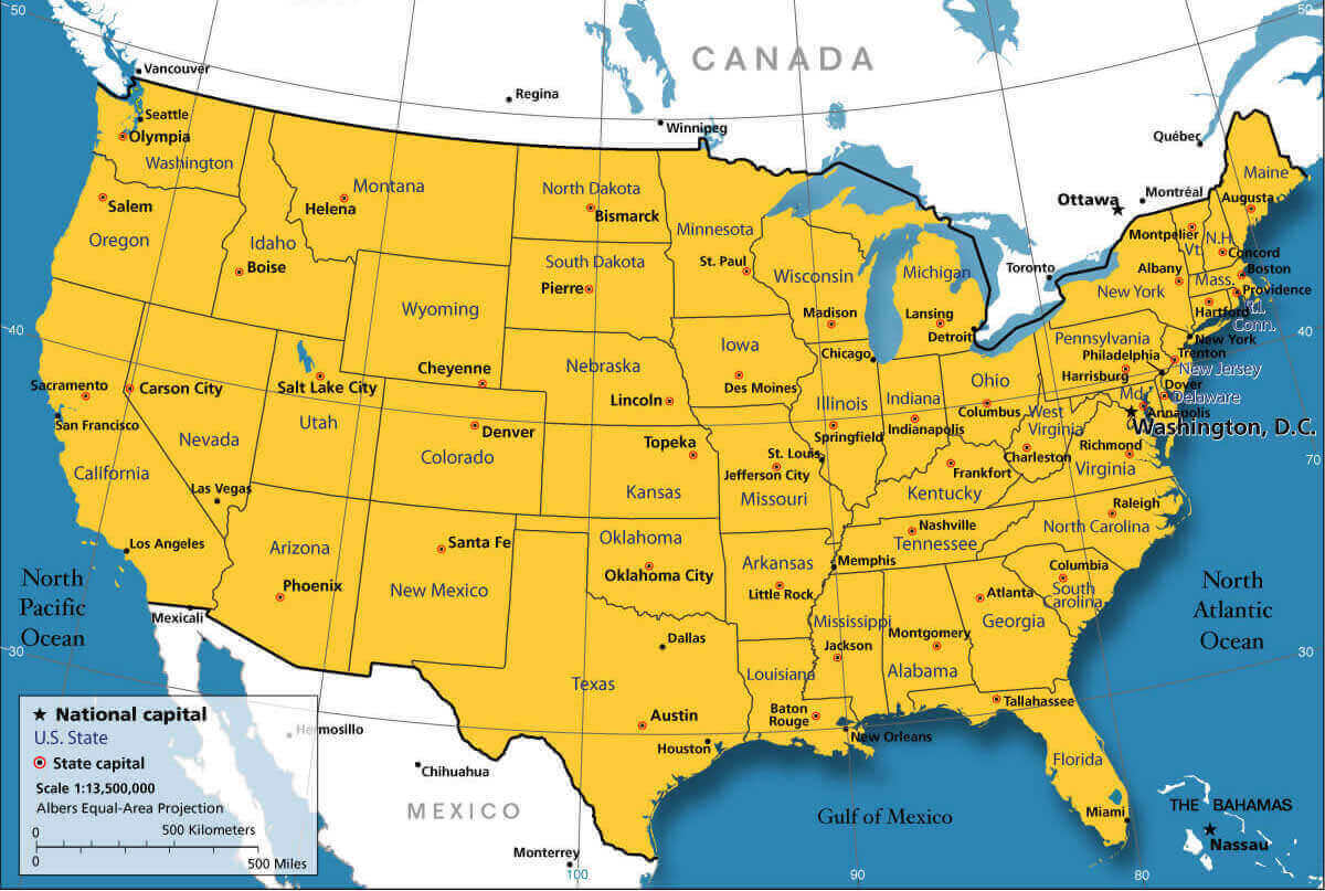
US States Map with Capitals
 US states map showing capitals and major cities across all 50 states.
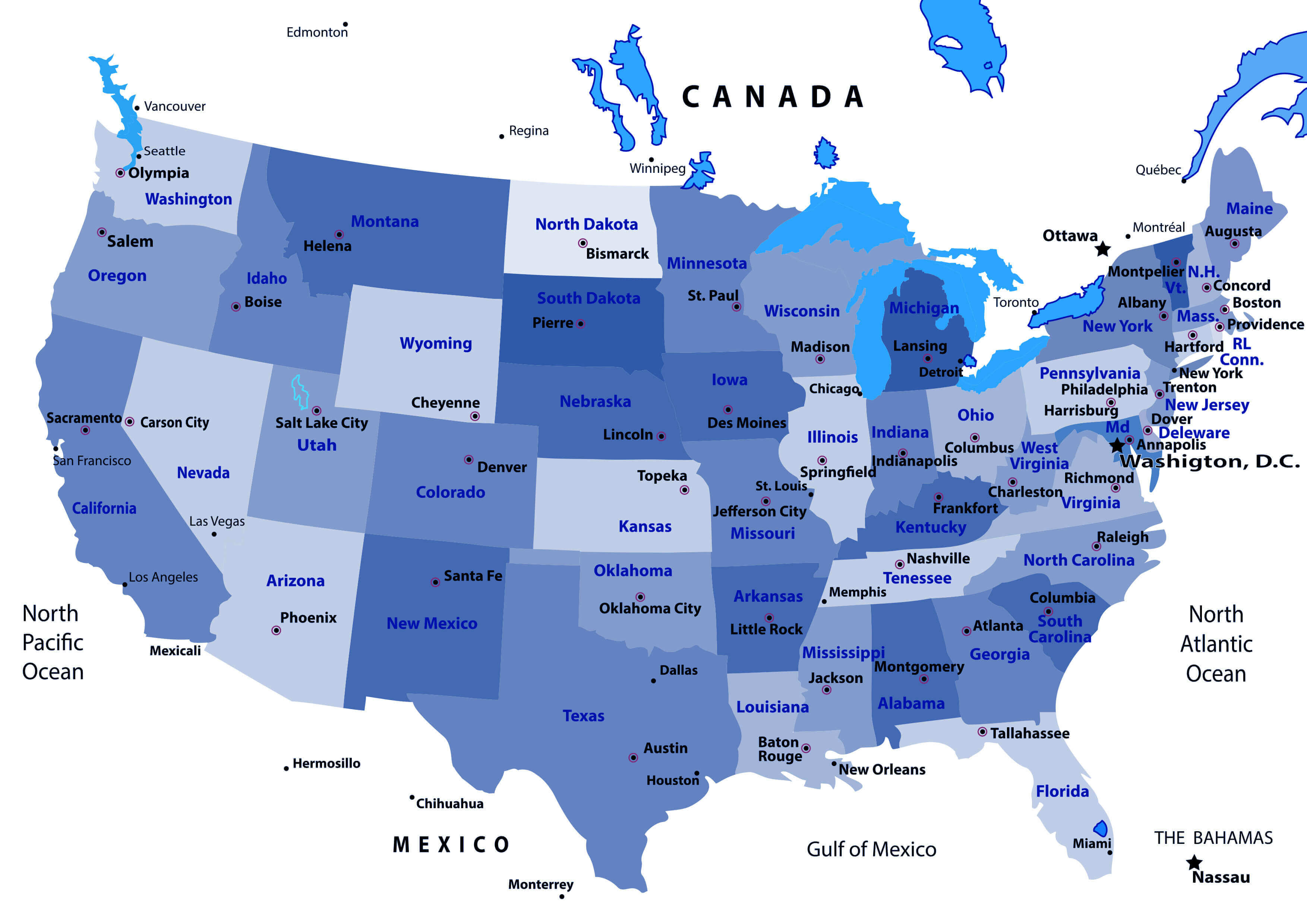
United States Map with States, Capitals, and Major Cities
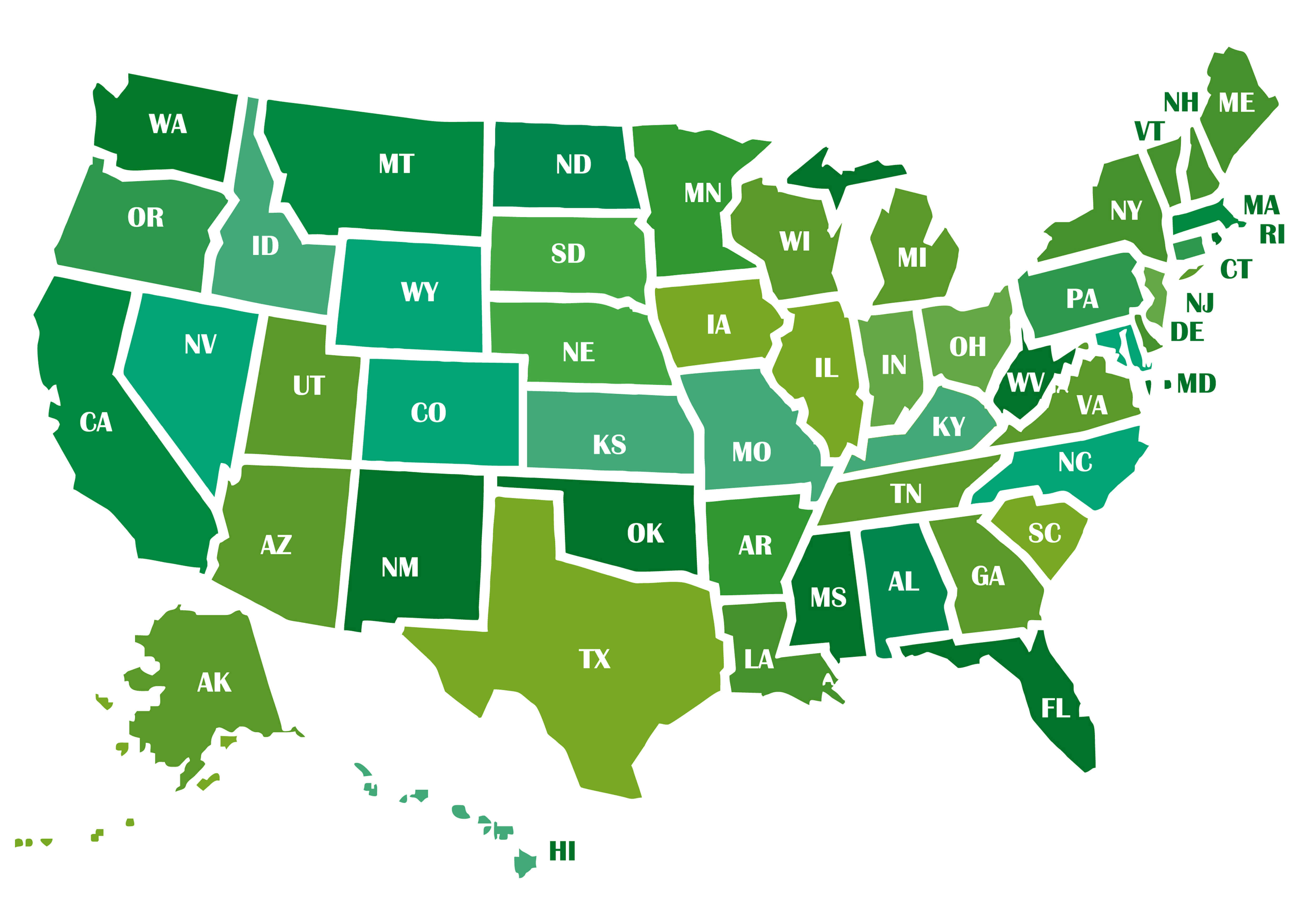
Colorful United States map showing all states, capitals, and borders.United States 50 Federal States Map
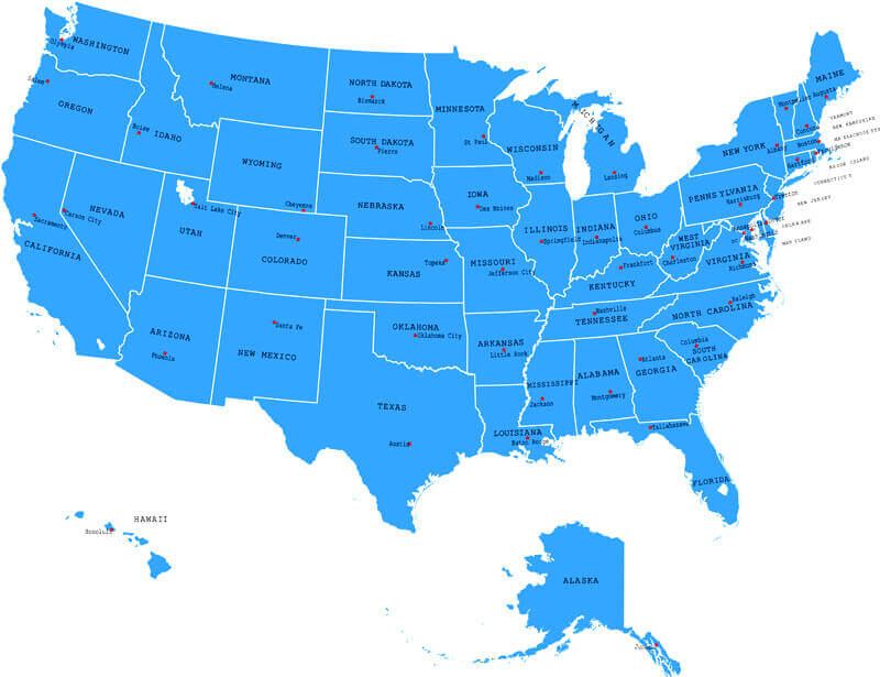
 Map of the United States showing all 50 federal states with boundaries.
United States map with US states Alaska and Hawaii
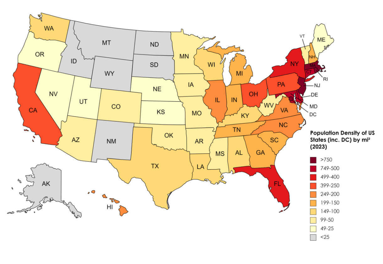
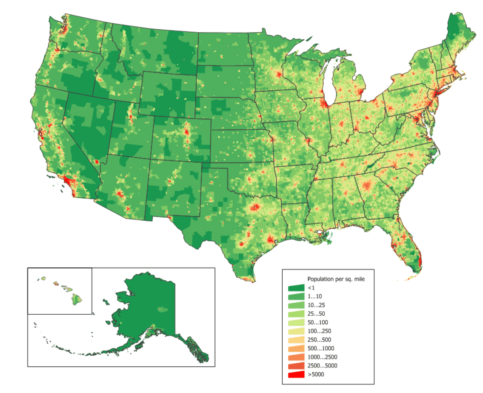
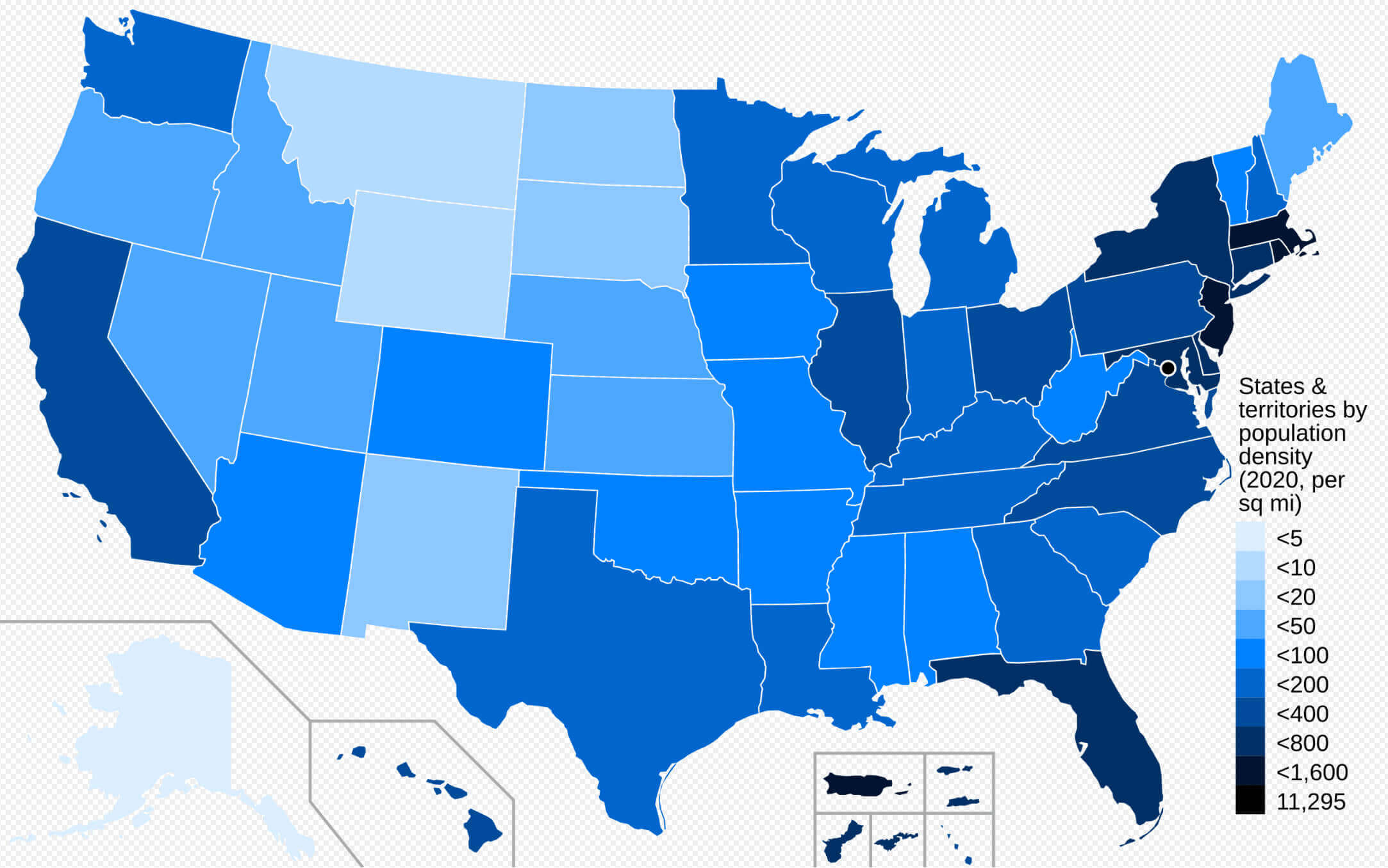
United States population density map by states
United States population map by states
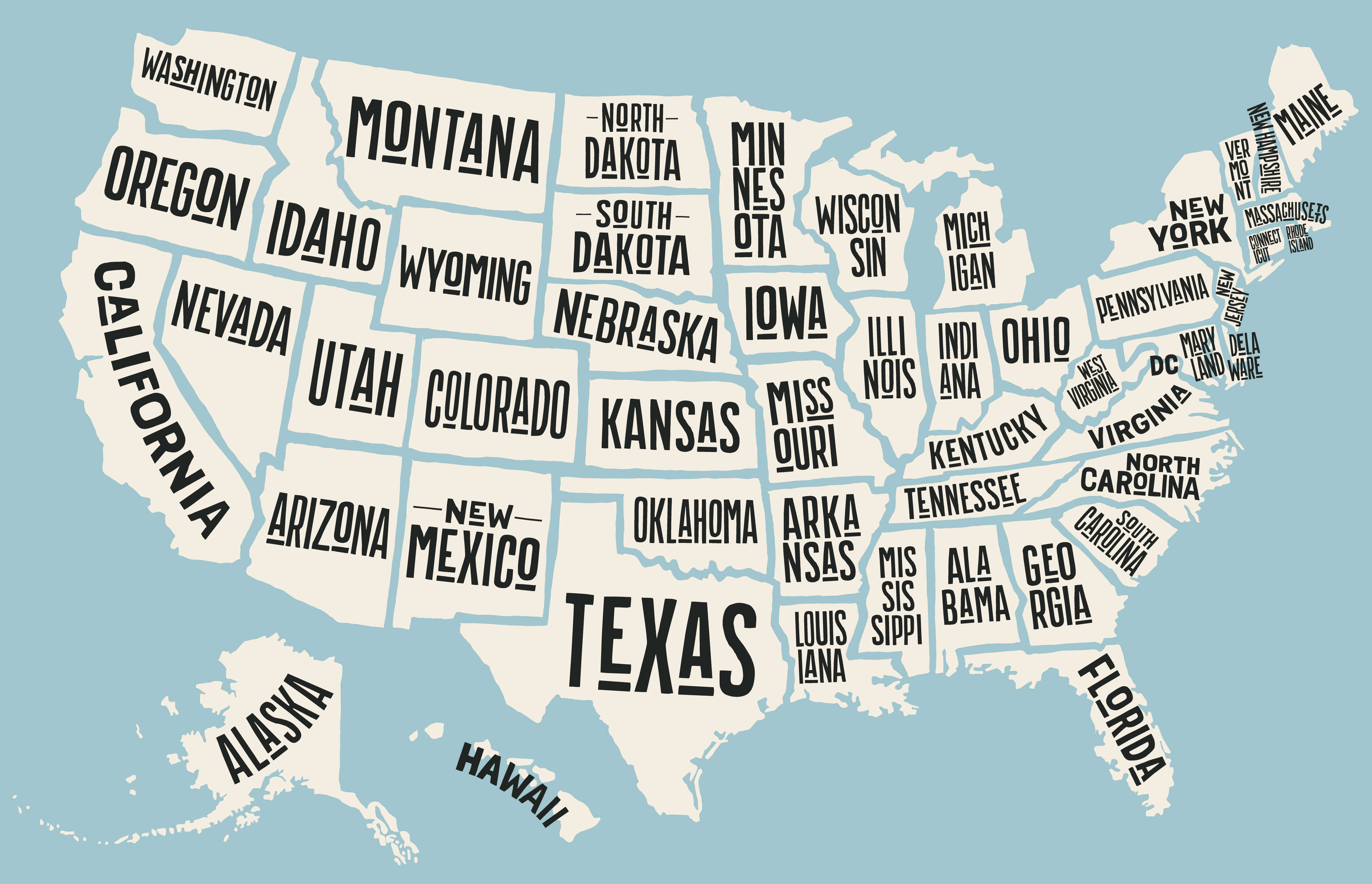
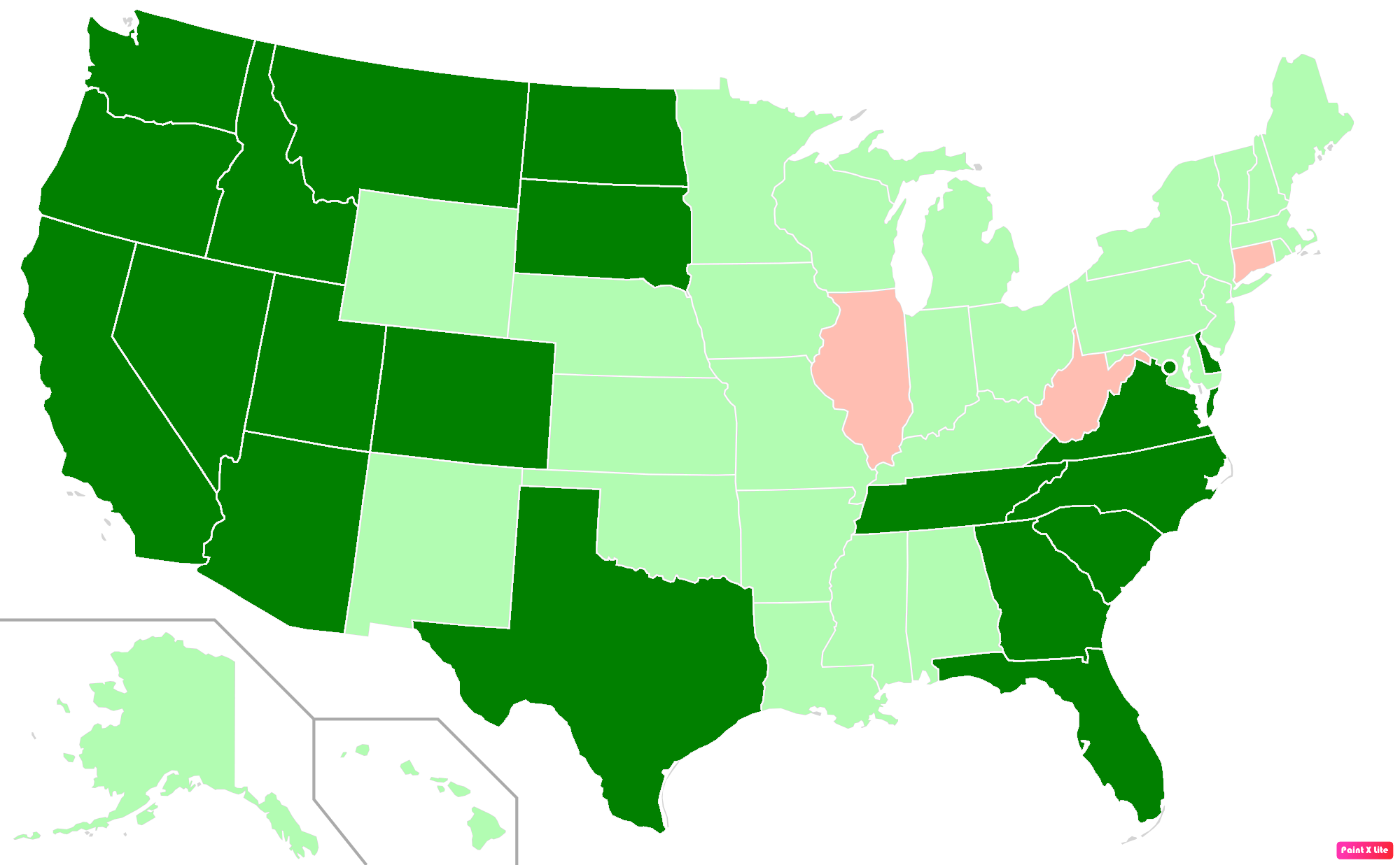
Colorful United States states blank map with Hawaii and Alaska
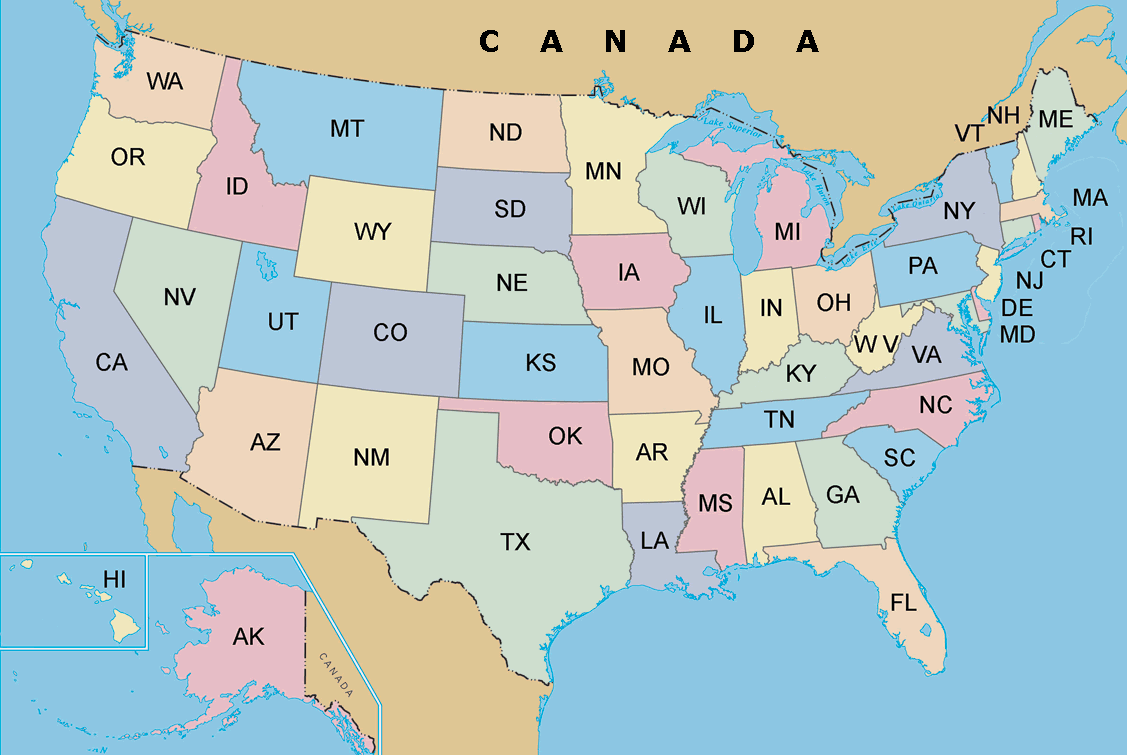
The United States map with states abbreviation
Colorful United States map by states
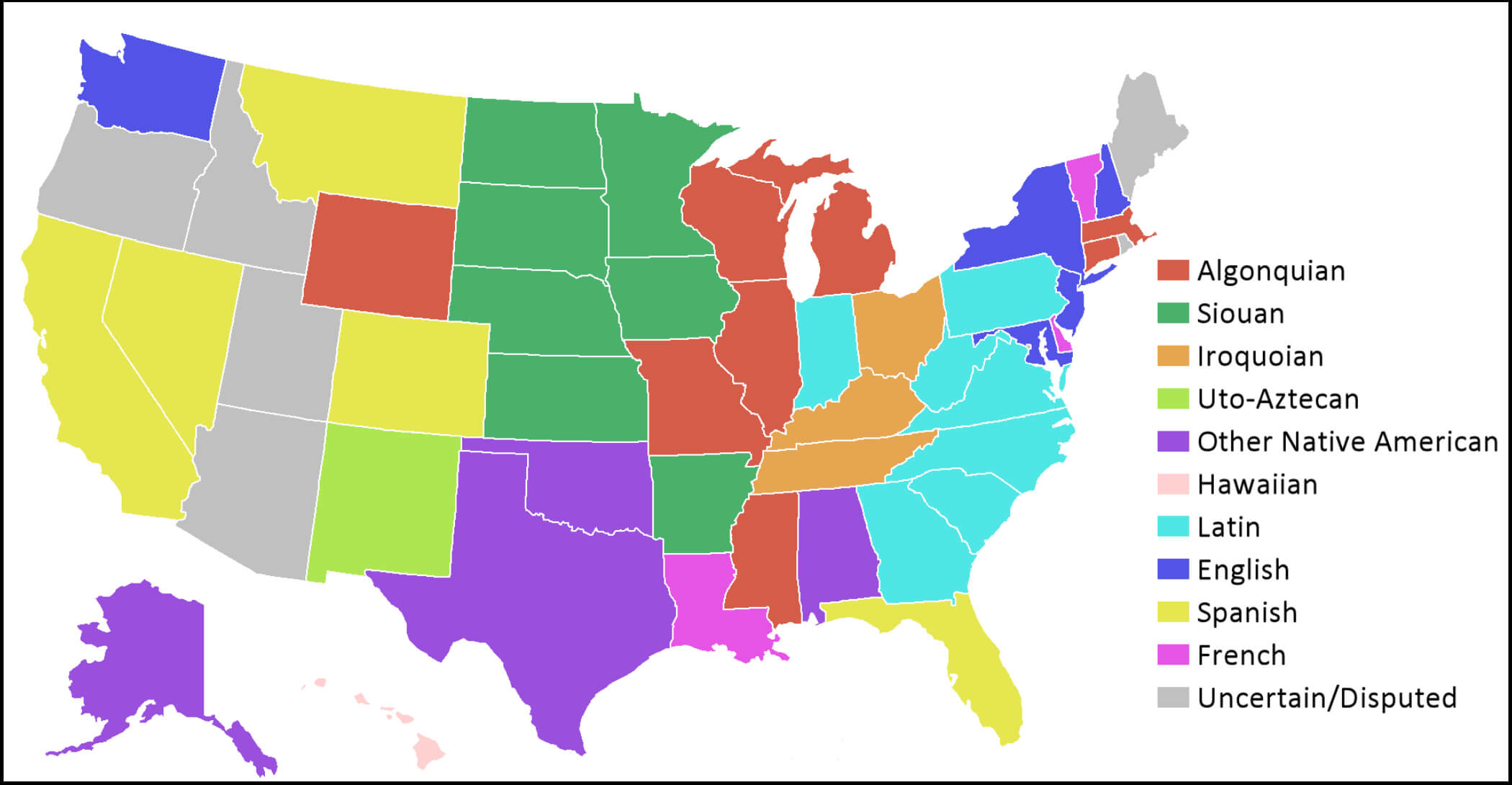
Languages of state names map in the United States
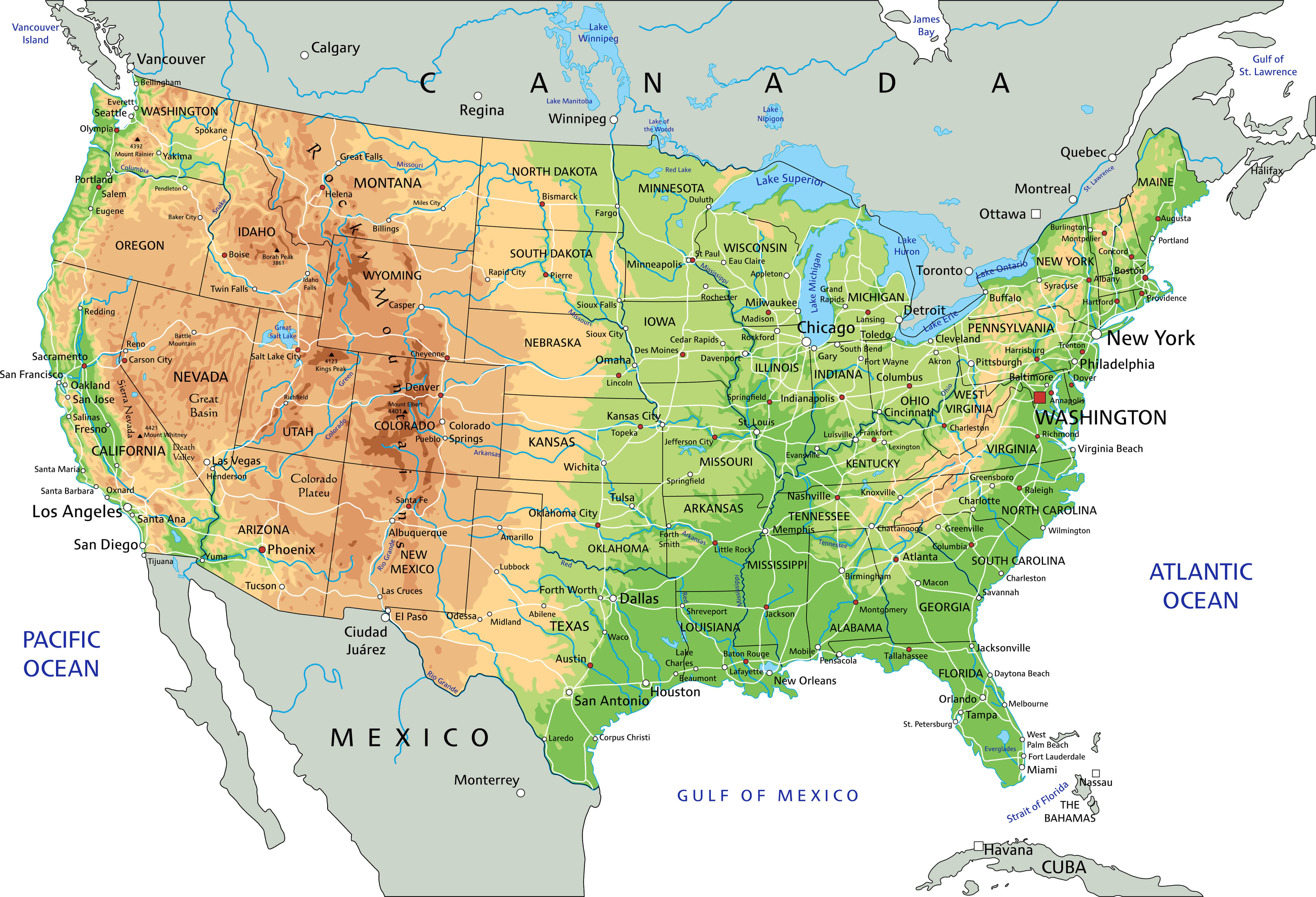
United States physical map by states
United States population density 2020 census
States map of United States of America
States population density map in the United States

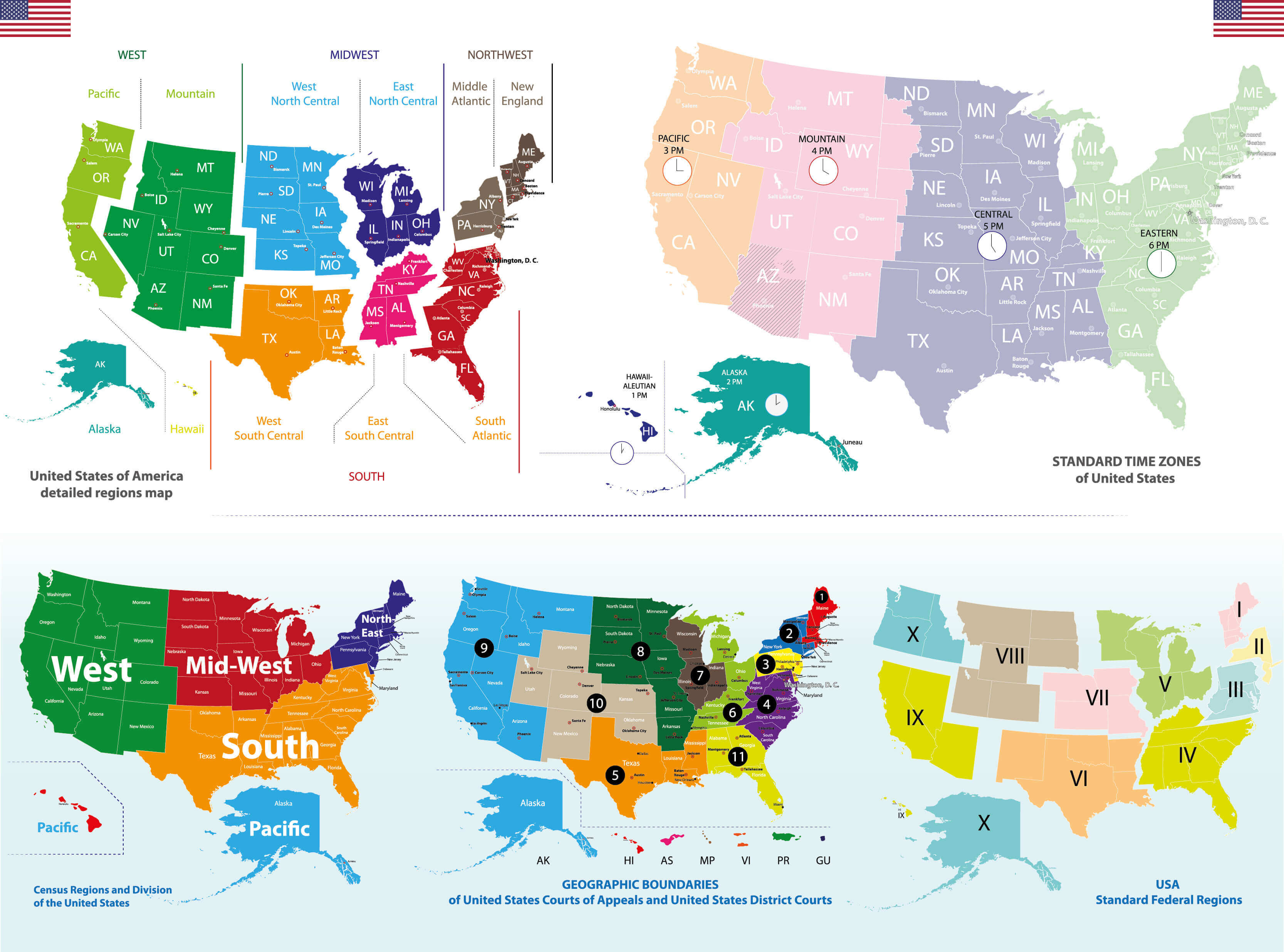
Time zones map of the United States
United States of America states blank map with Hawaii and Alaska
United States of America time zones map with states
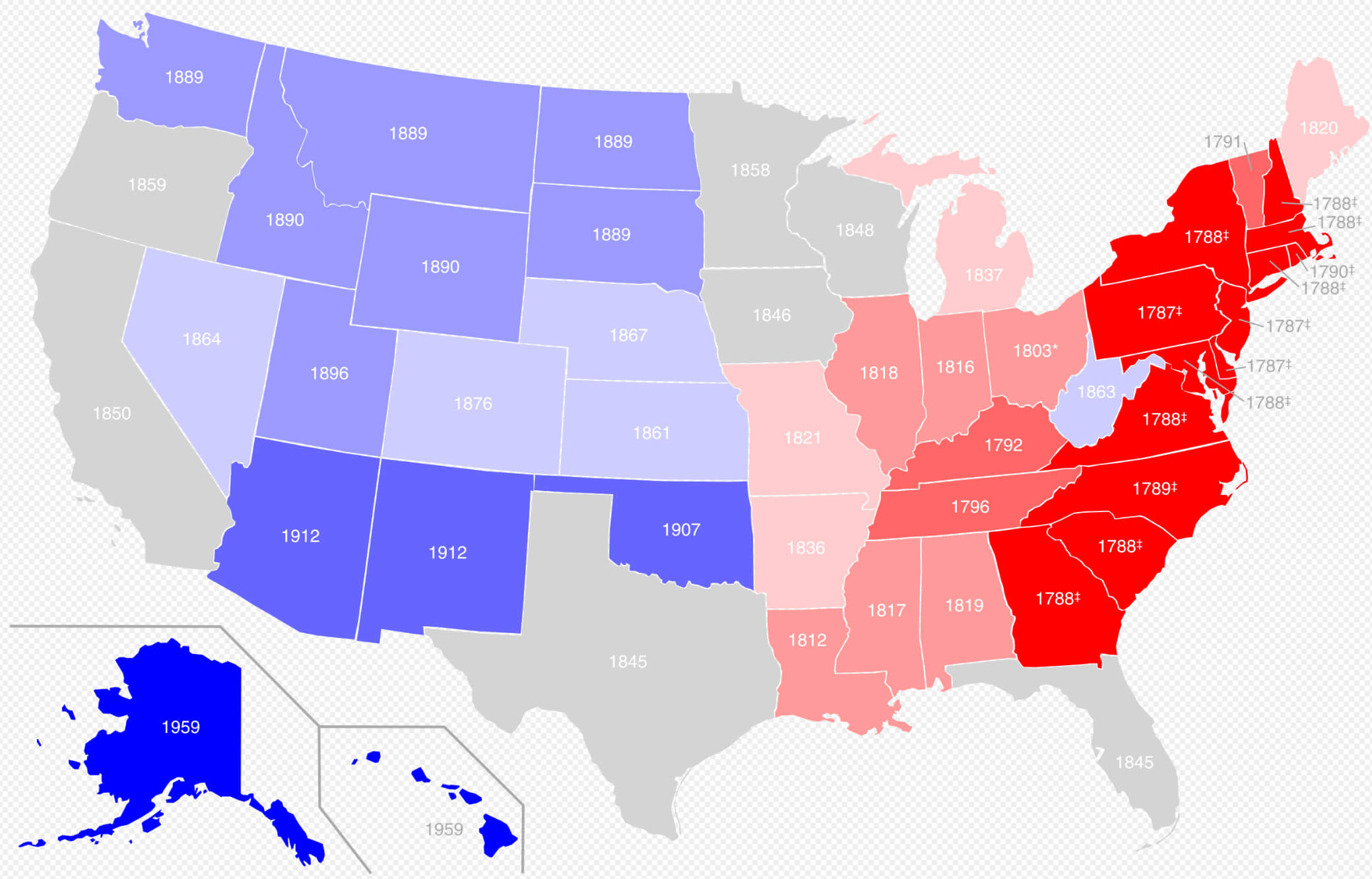
United States by date of statehood map
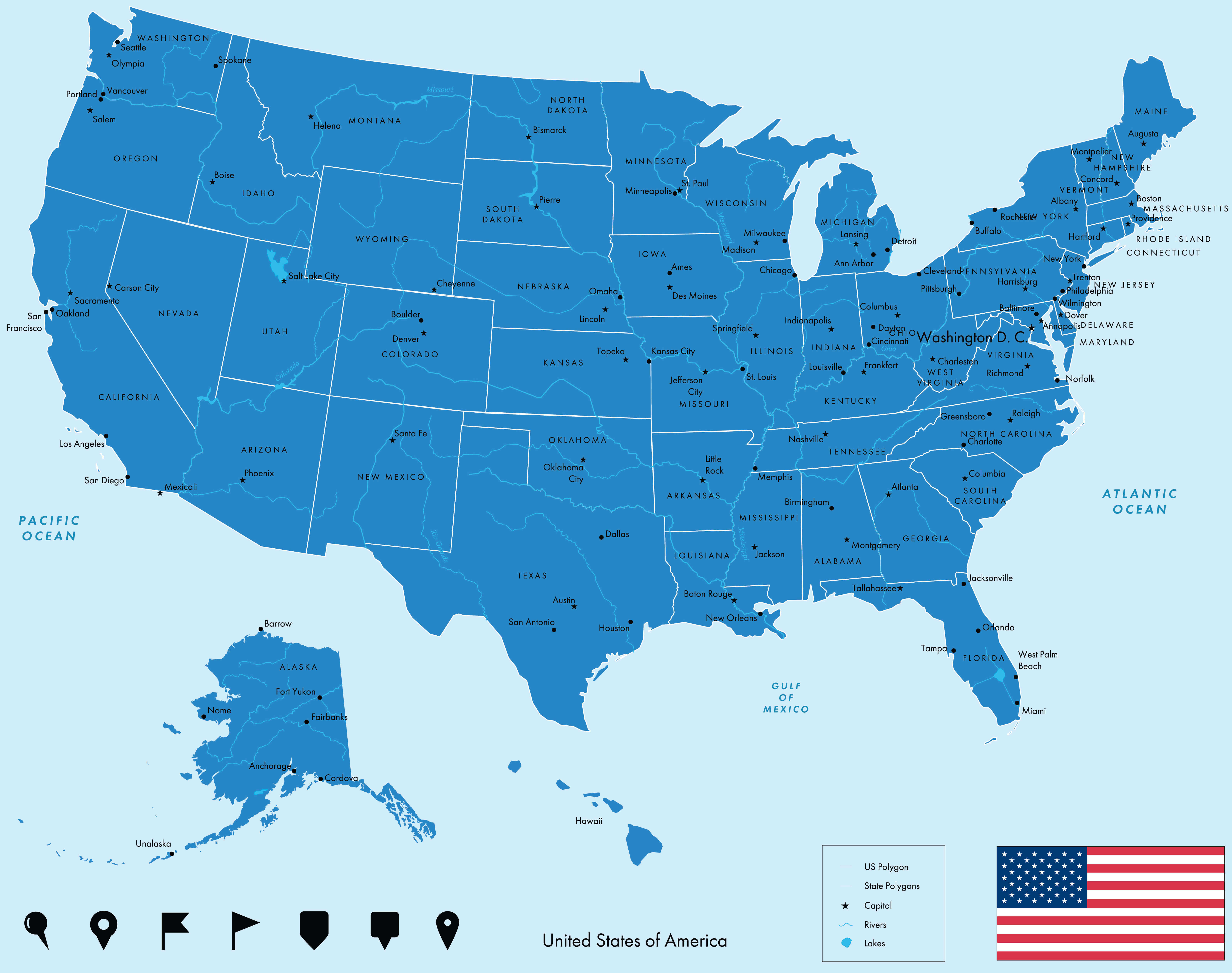
United States capitals and main cities map
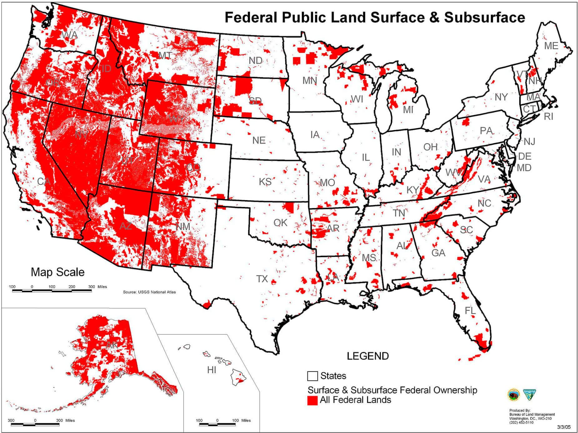
United States federal lands map
United States map in white
United States map states national capitals
United States map with US states abbreviations
United States residents population map with US states
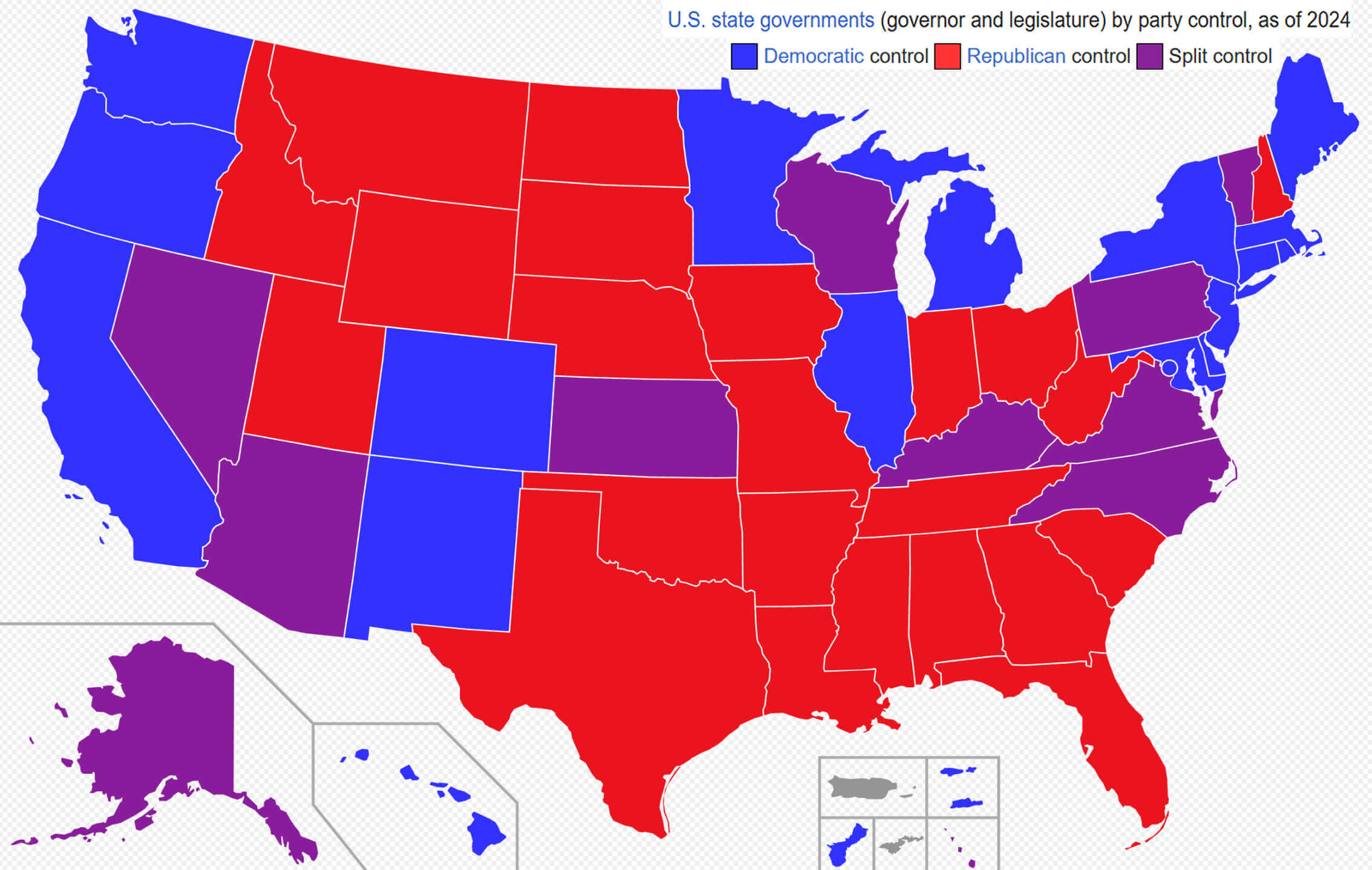
United States state government by party control
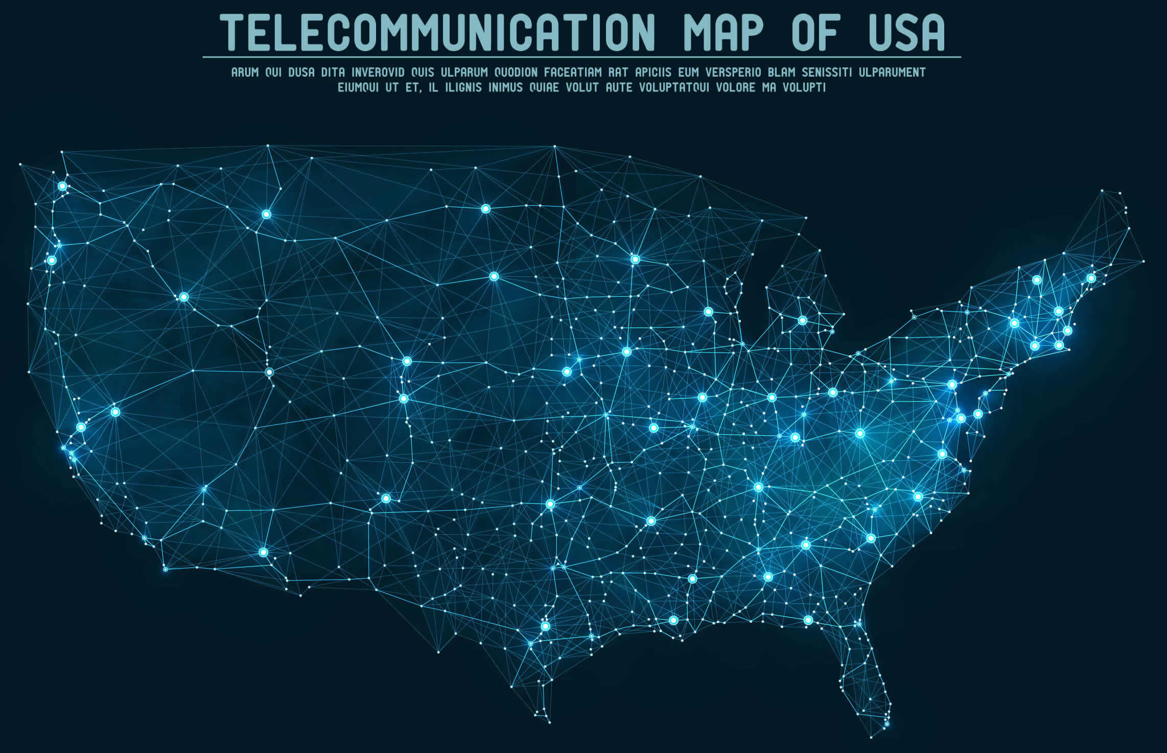
United States telecommunication map
United States time zone map
Feel free to explore these pages as well:
- Head of Performance Marketing
- Head of SEO
- Linkedin Profile: linkedin.com/in/arifcagrici