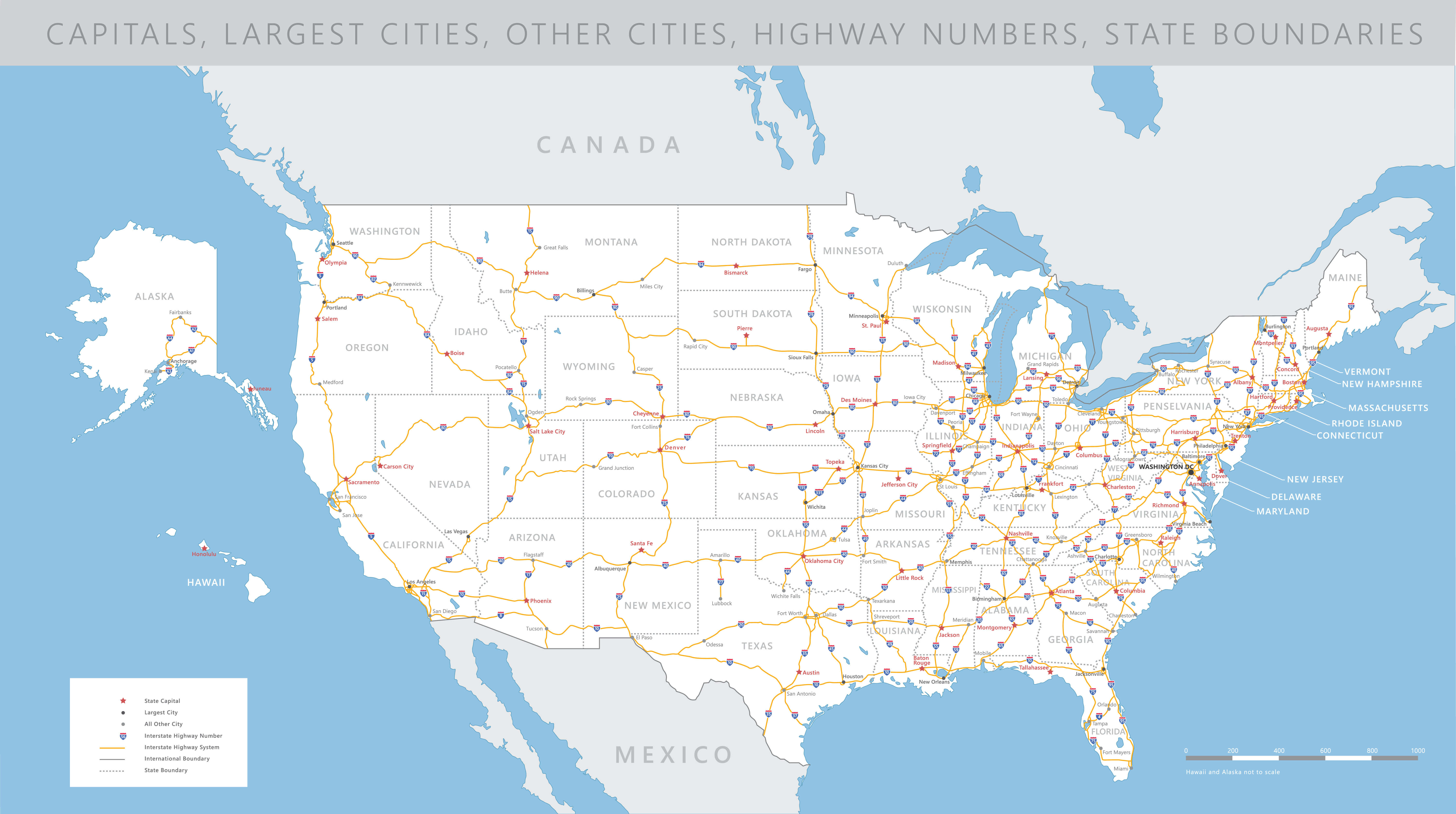
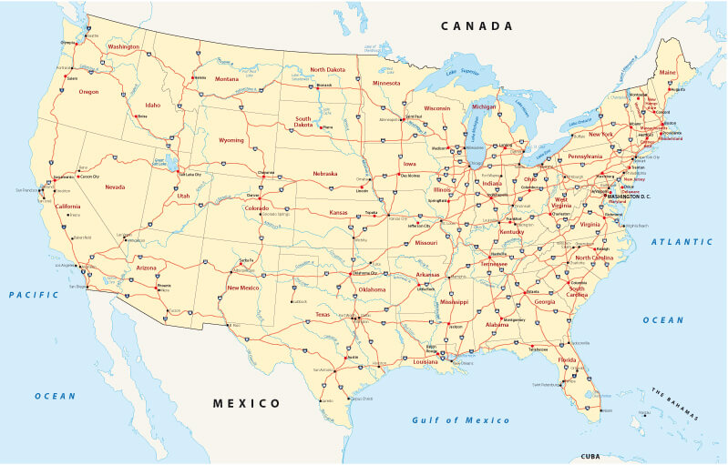
United States Road Map with Highways and Major Cities
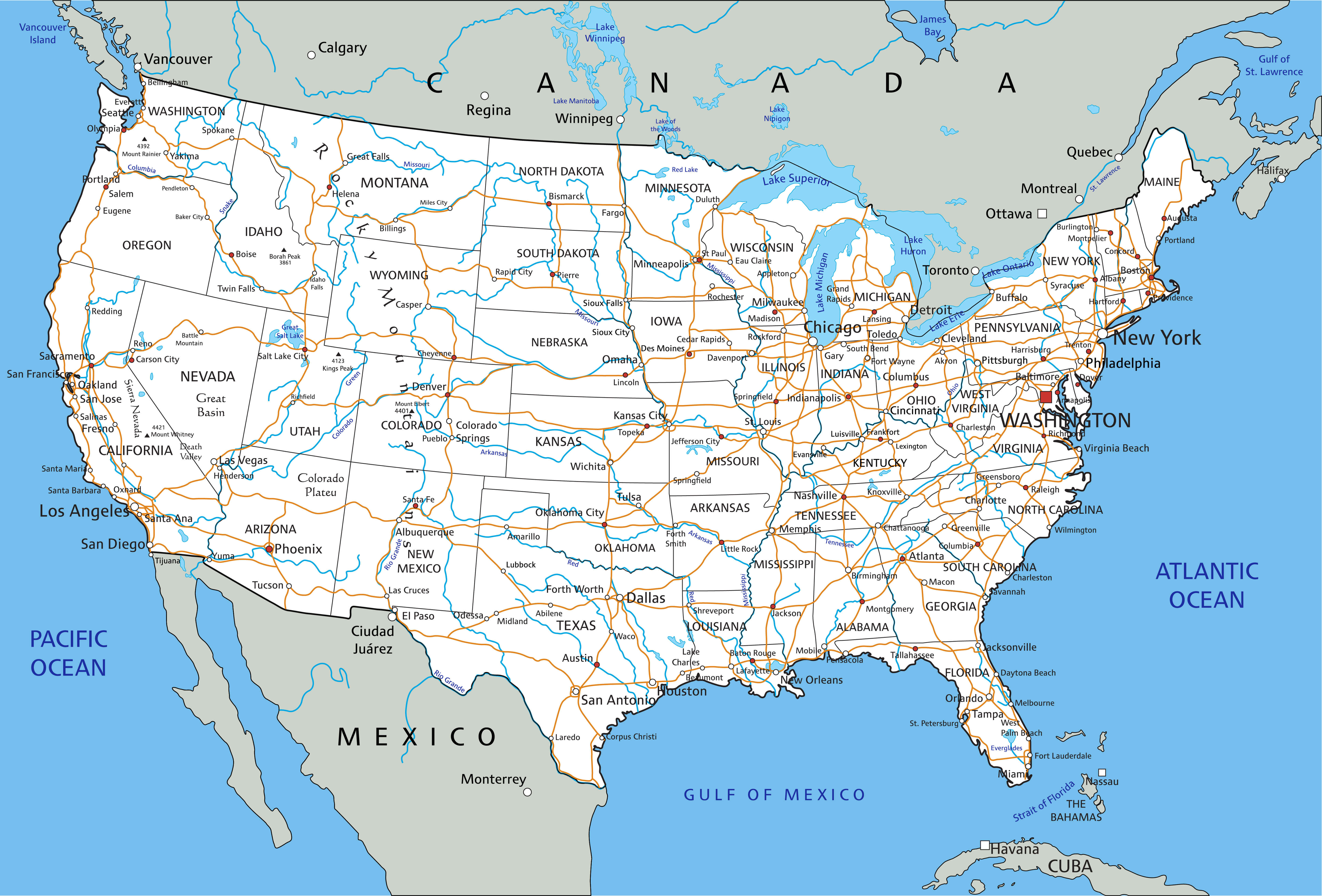 Road map of the United States with highways, interstates, and major cities.
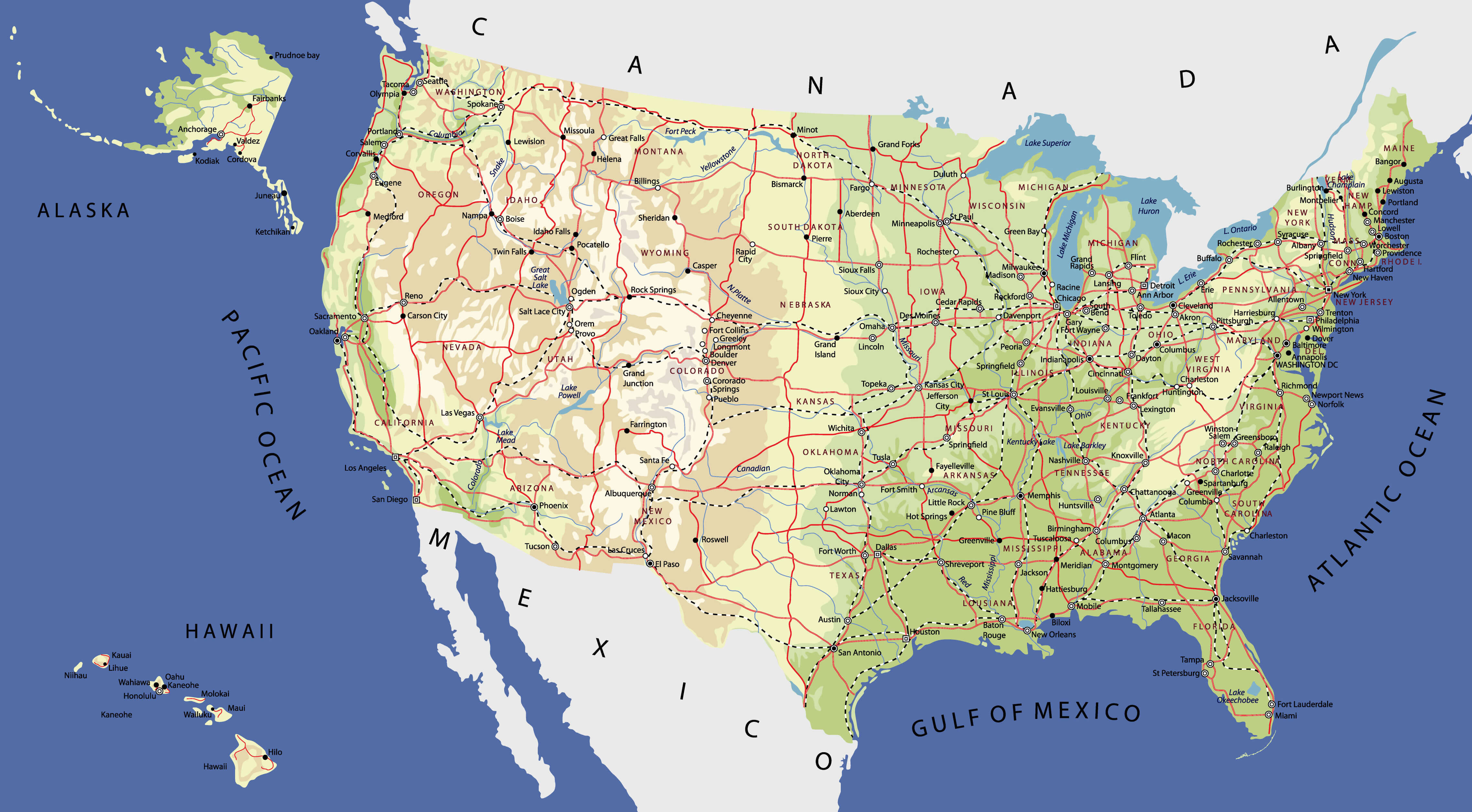
This United States road map highlights the country’s extensive highway and interstate network, connecting major cities, towns, and regions from coast to coast. It shows key routes such as I-95, I-80, and I-10, along with rivers, borders, and nearby countries, making it useful for travel, study, and navigation.
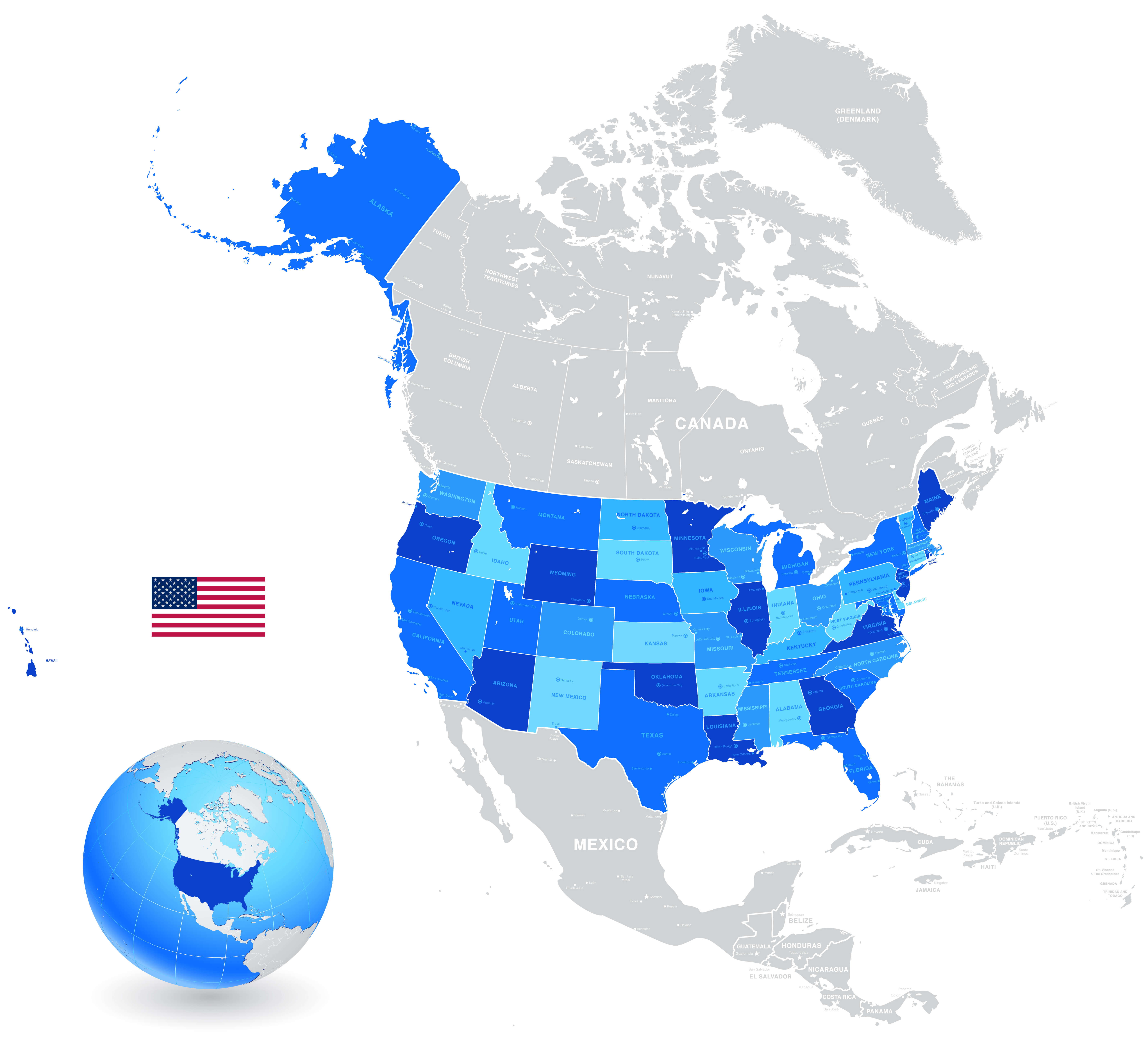
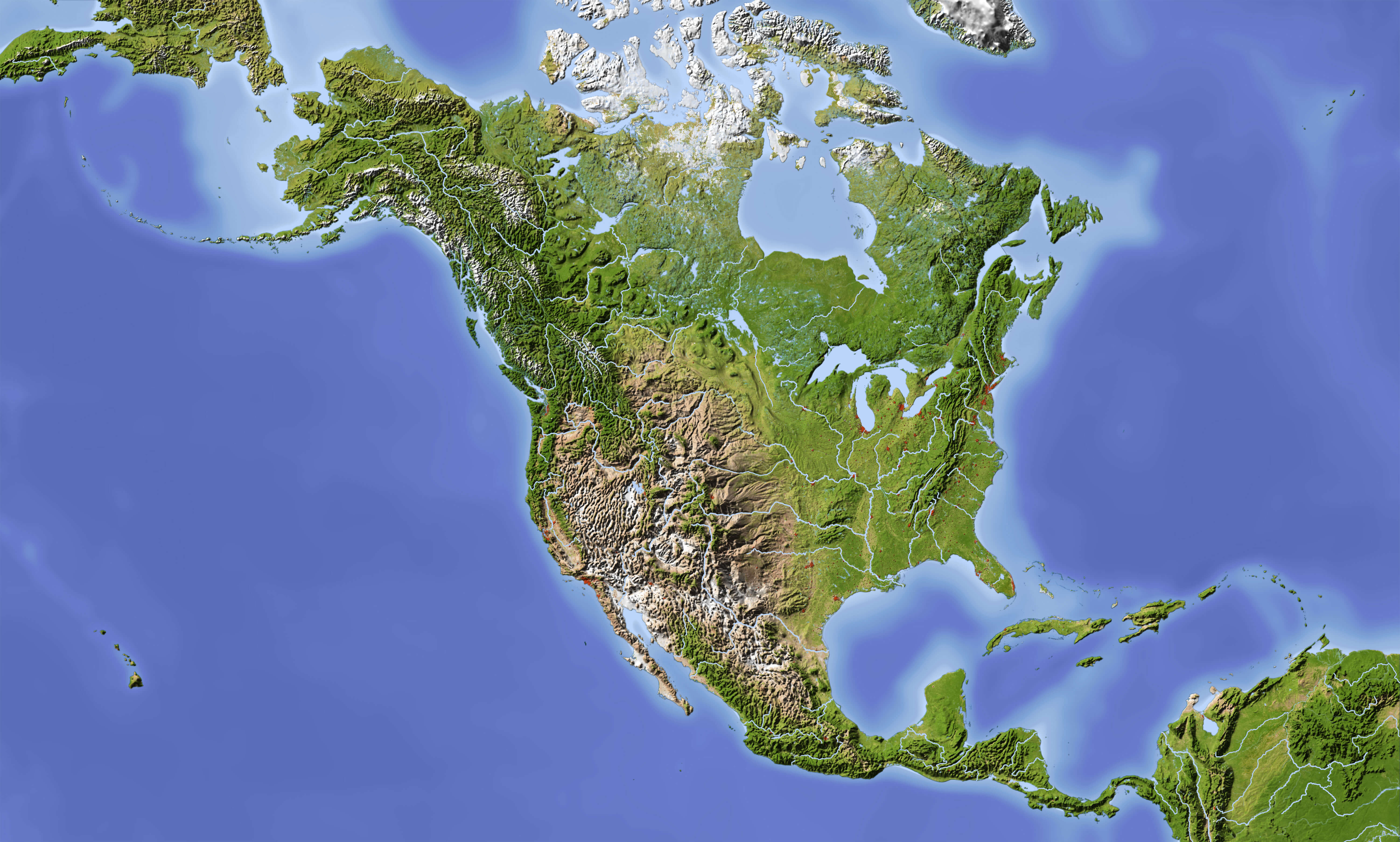
United States of America Satellite Map with Terrain and Cities
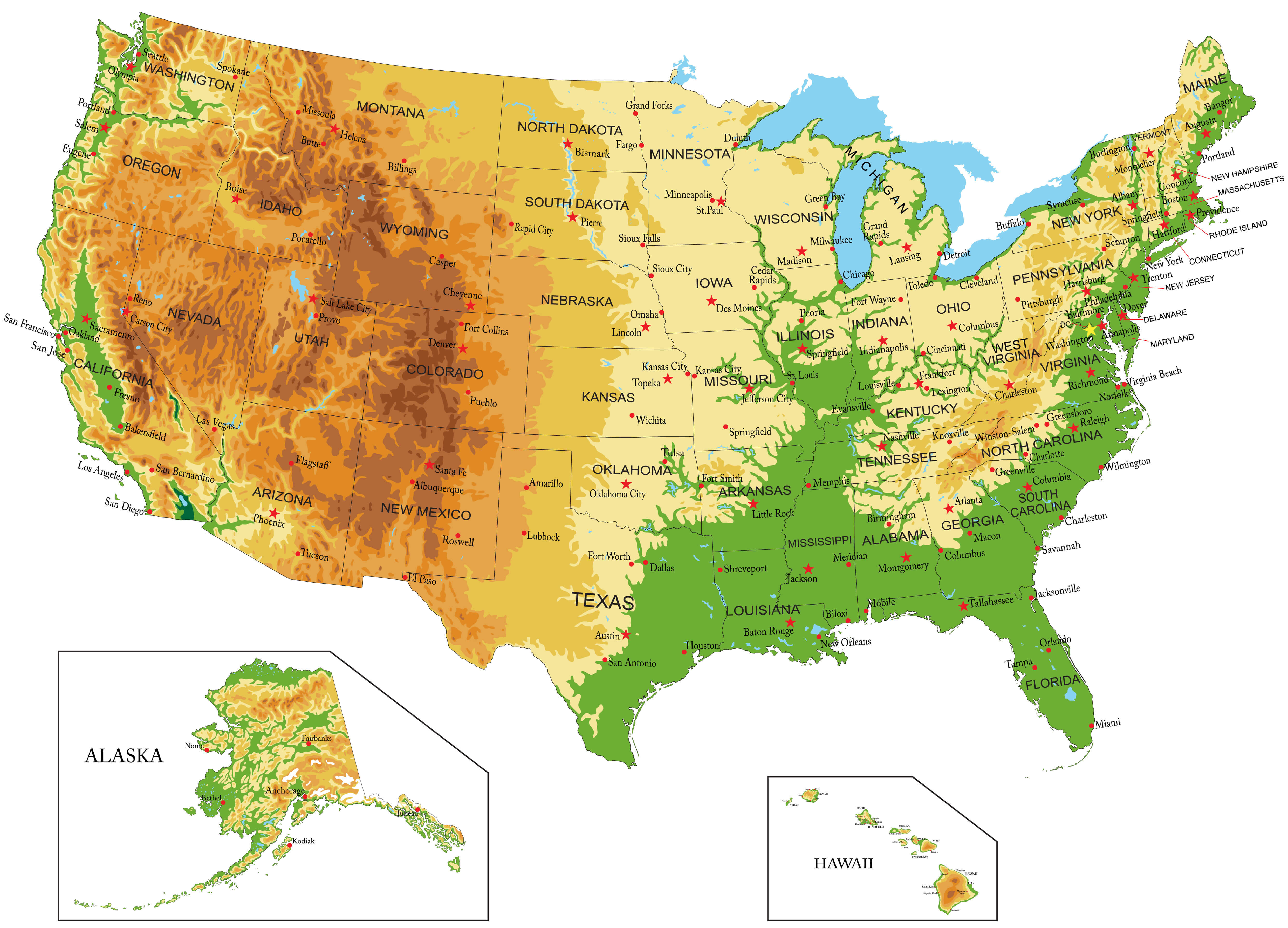 Satellite map of the United States showing terrain, states, and major cities.
This satellite map of the United States displays the nation’s geography in vivid detail, highlighting terrain variations from mountains and plateaus to plains and coastlines. It includes all 50 states, with Alaska and Hawaii shown separately, and marks major cities, rivers, and regions across America.
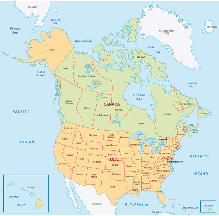
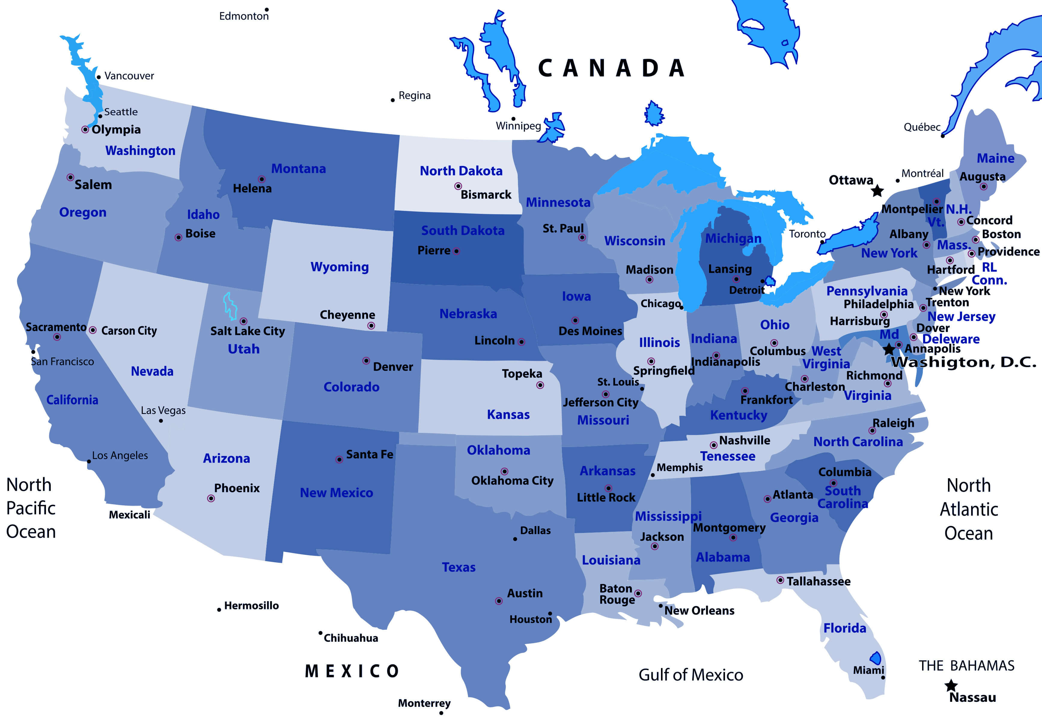
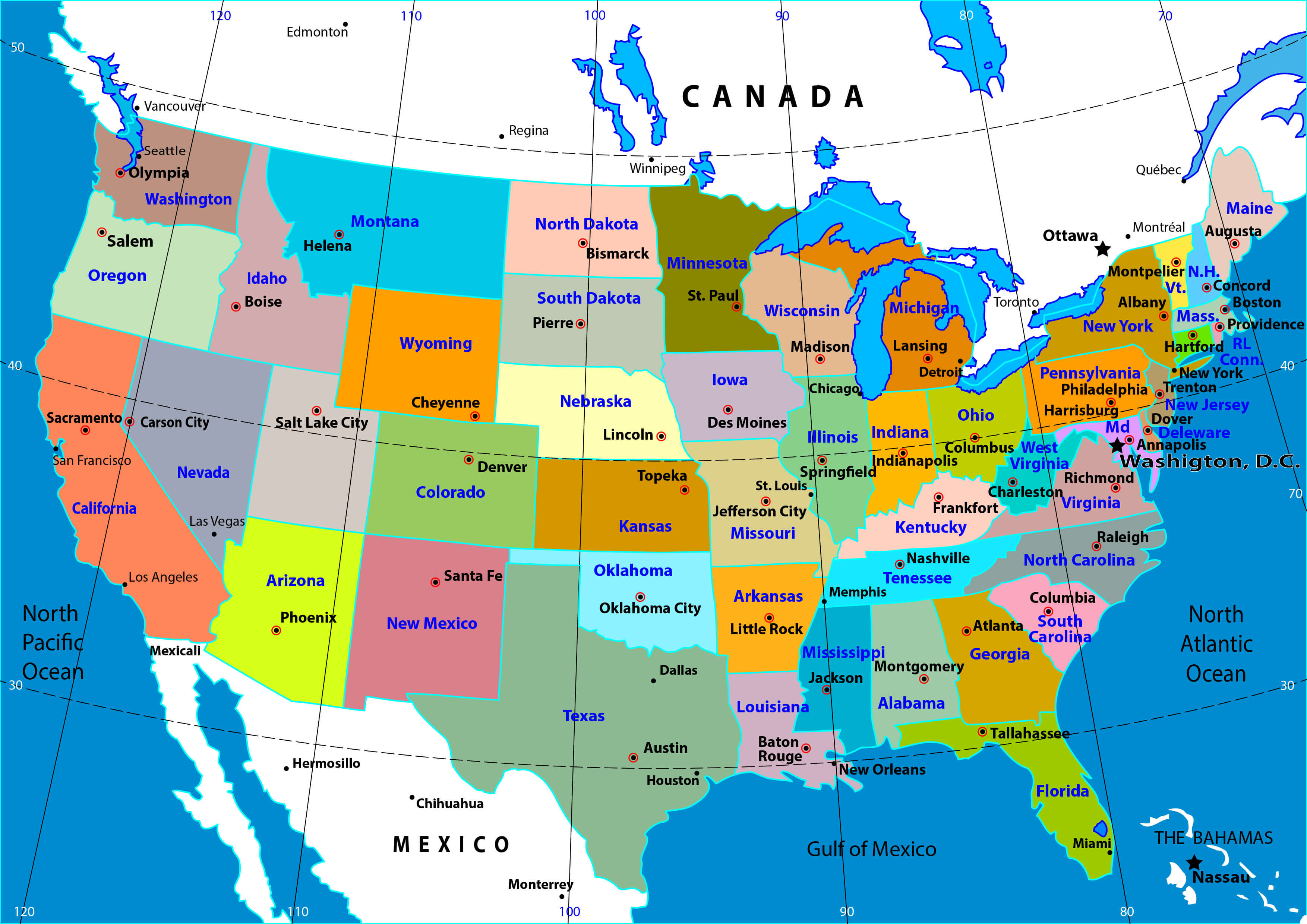
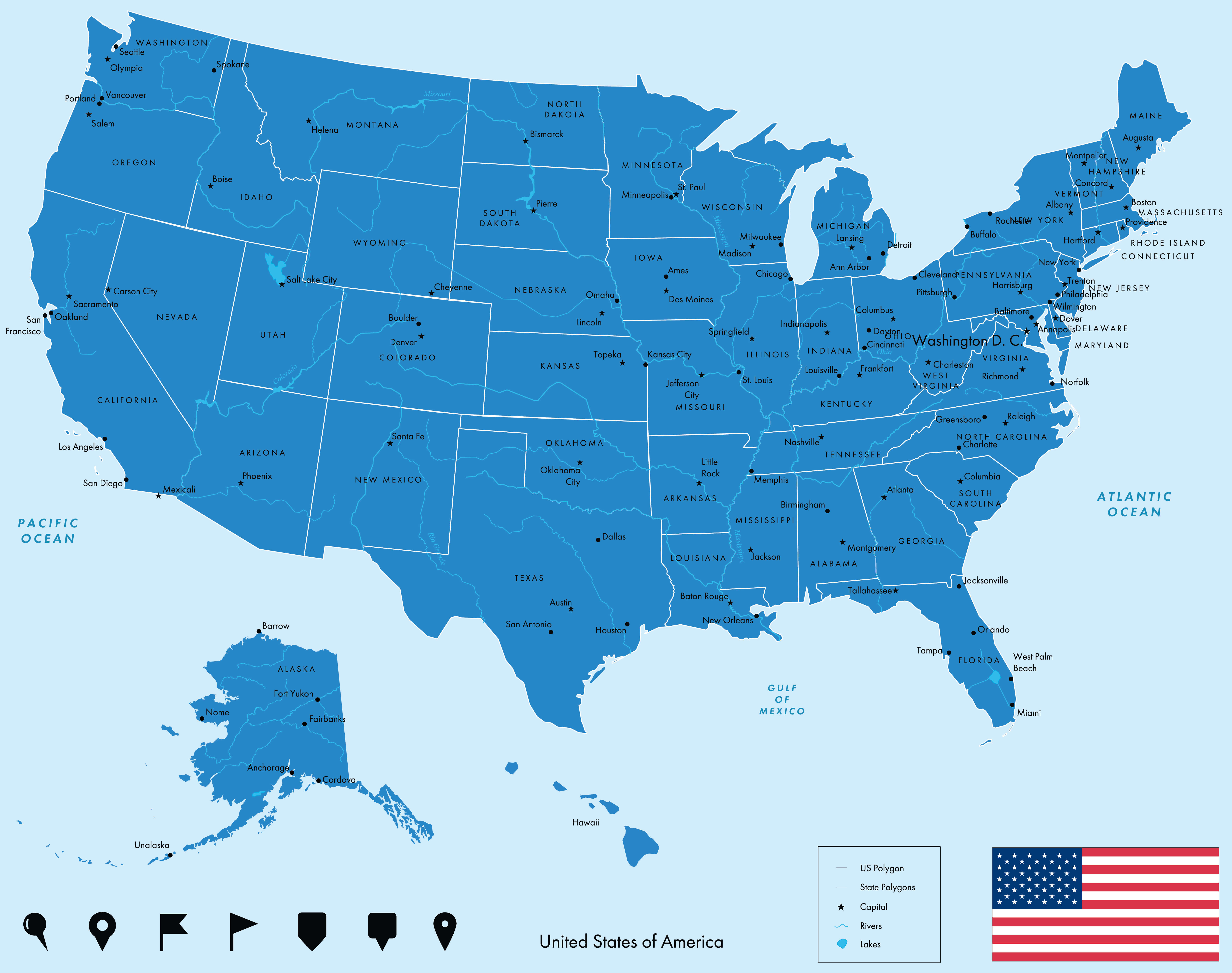
Colorful Map of the United States with States and Capitals
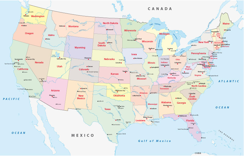 Colorful detailed map of the United States showing states, borders, and capitals.
This colorful map of the United States displays all 50 states with clear boundaries, capitals, and major cities. It highlights key geographical features, neighboring countries like Canada and Mexico, and provides an easy visual guide to America’s political and regional divisions.
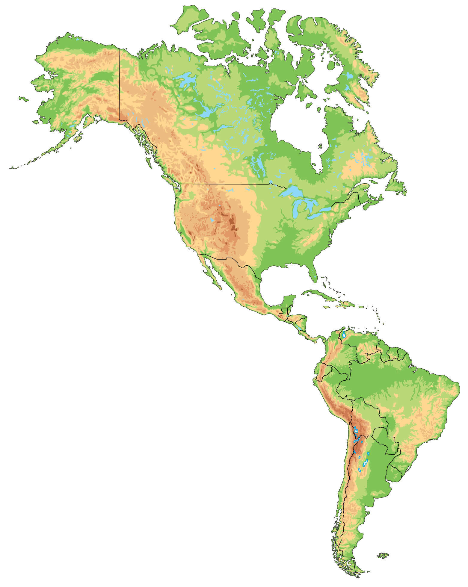
The United States and Americas physical map
The United States and Canada map by states and territories
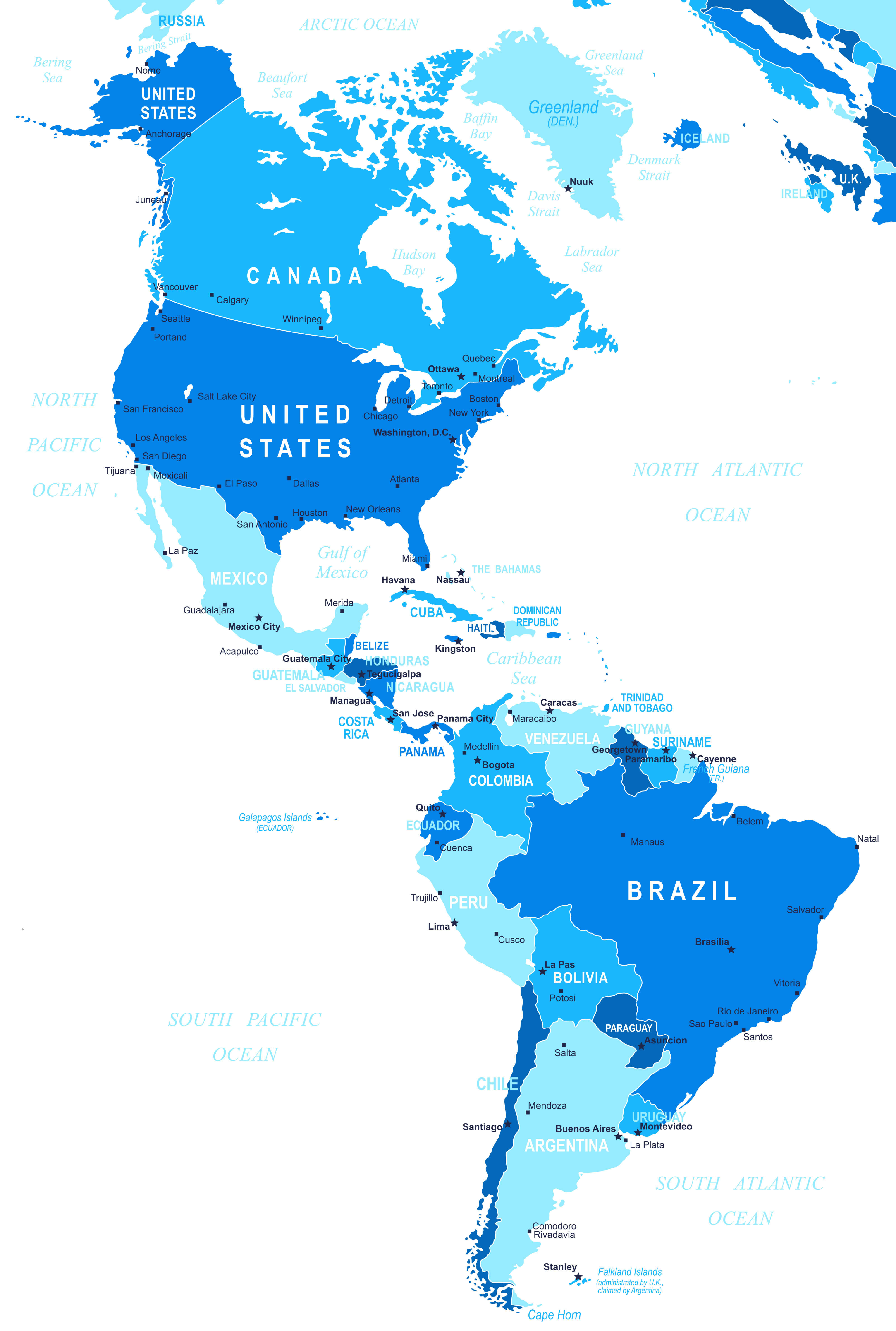
The United States and the World map
The United States interstates map
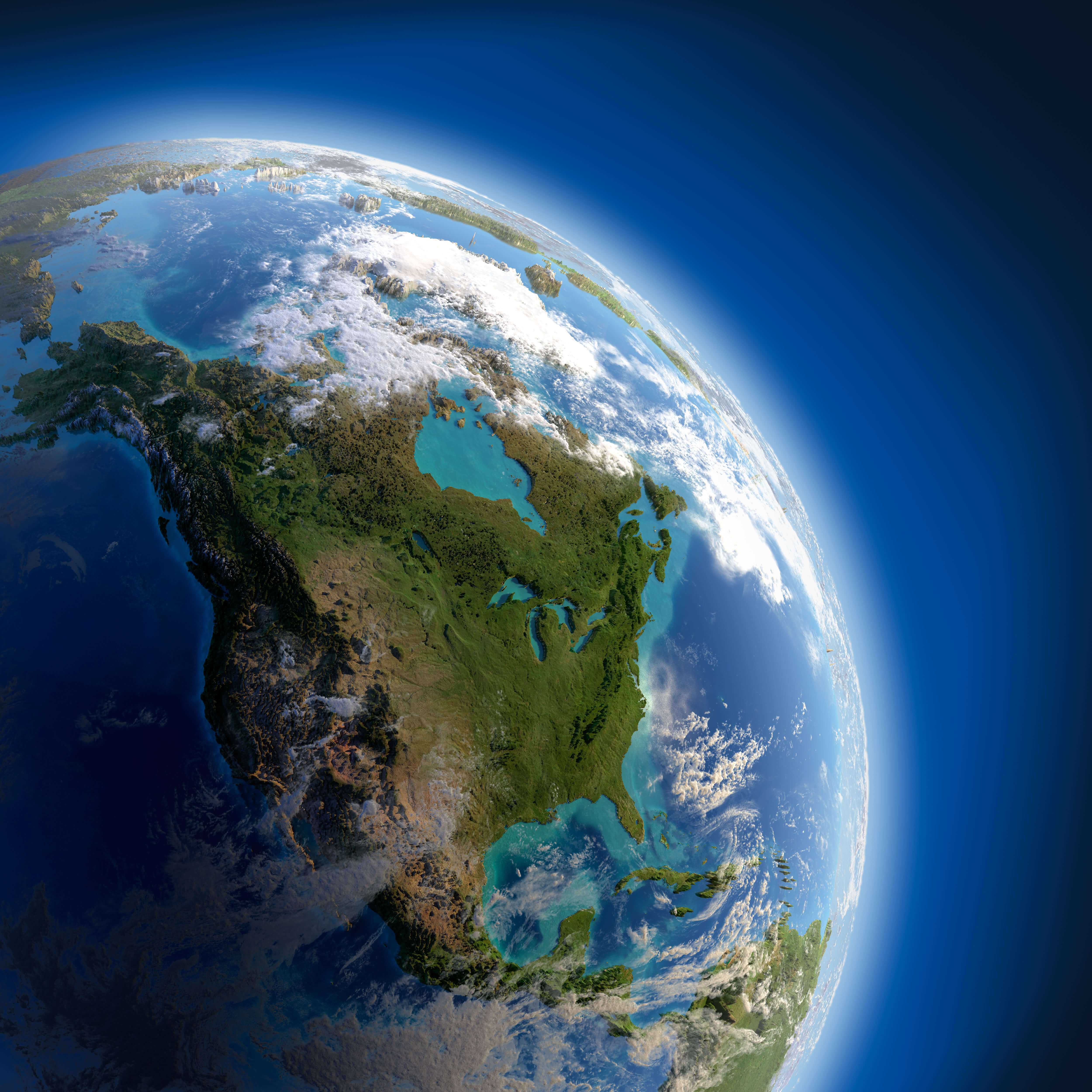
The United States of America satellite map

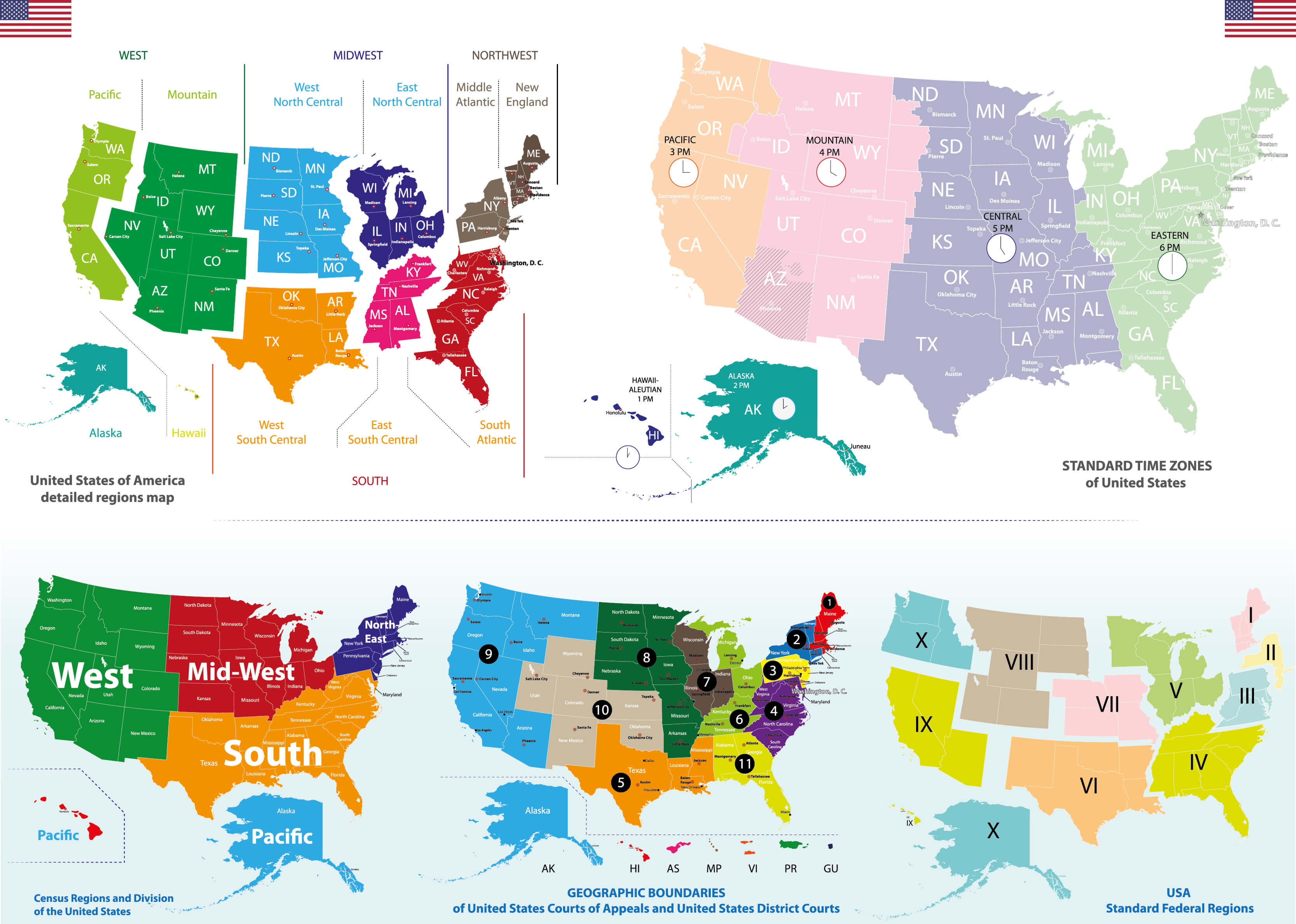
United States 4 different time zones map
United States 50 states map
United States Alaska and Hawaii political map
United States and countries map in North America
United States and North America blank map
United States and North America physical map
United States and North America satellite view
United States cities map by states
United States colorful map by states
United States interstate highways map
United States map with Alaska and Hawaii
United States north and south America political map
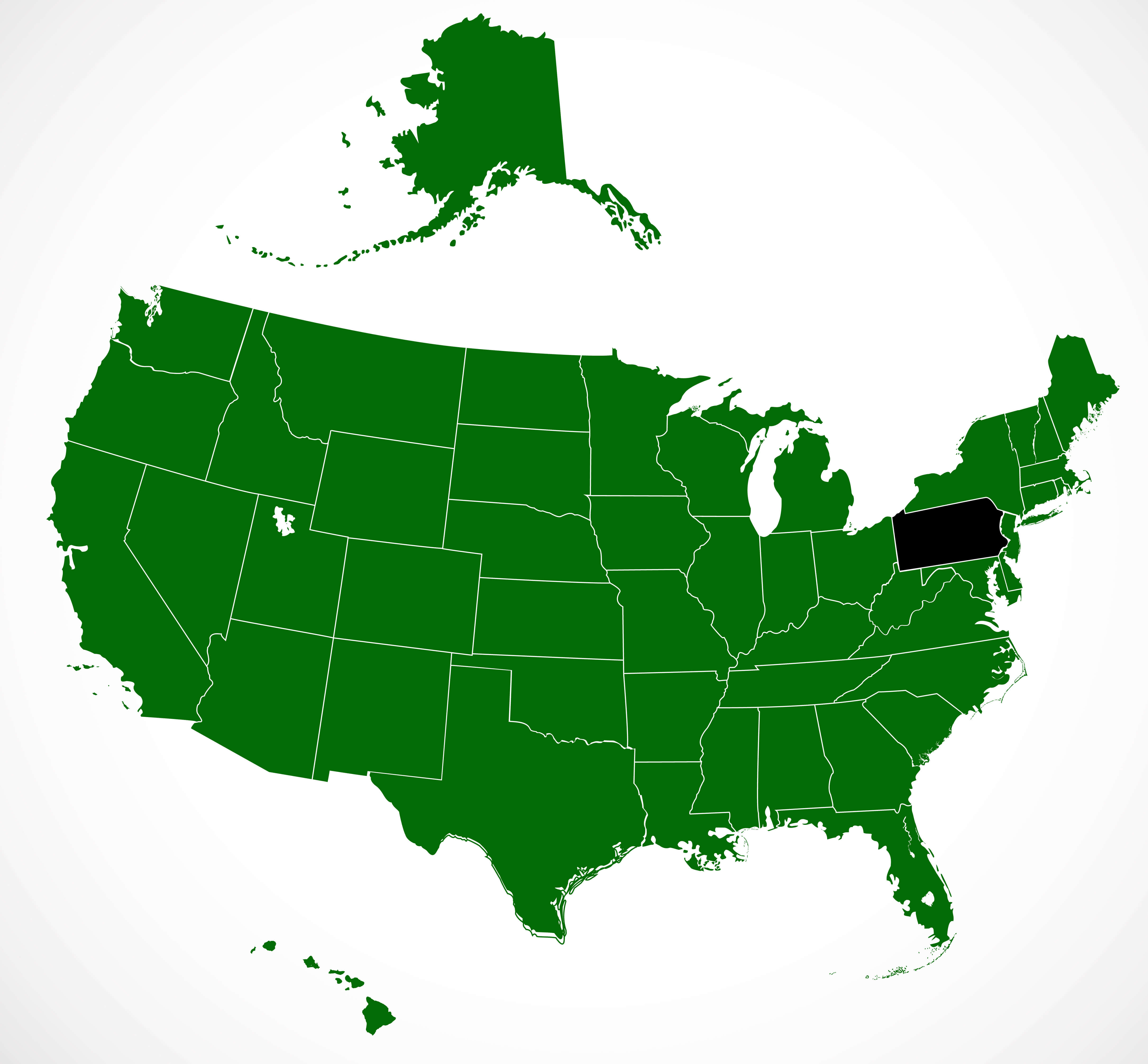
United States of America and Pennsylvania blank map
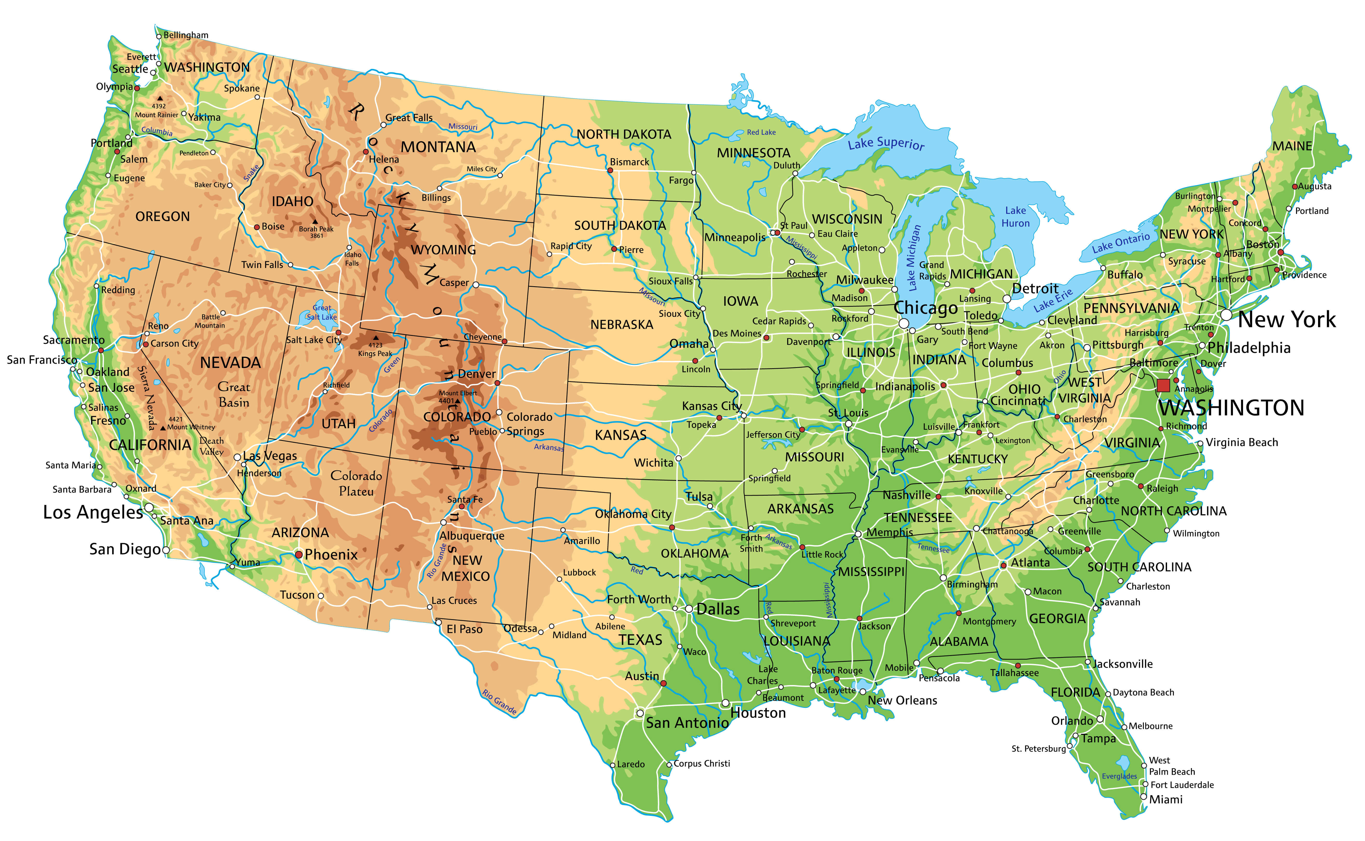
United States physical map with major cities
United States physical map
United States satellite view from space

United States telecommunication map
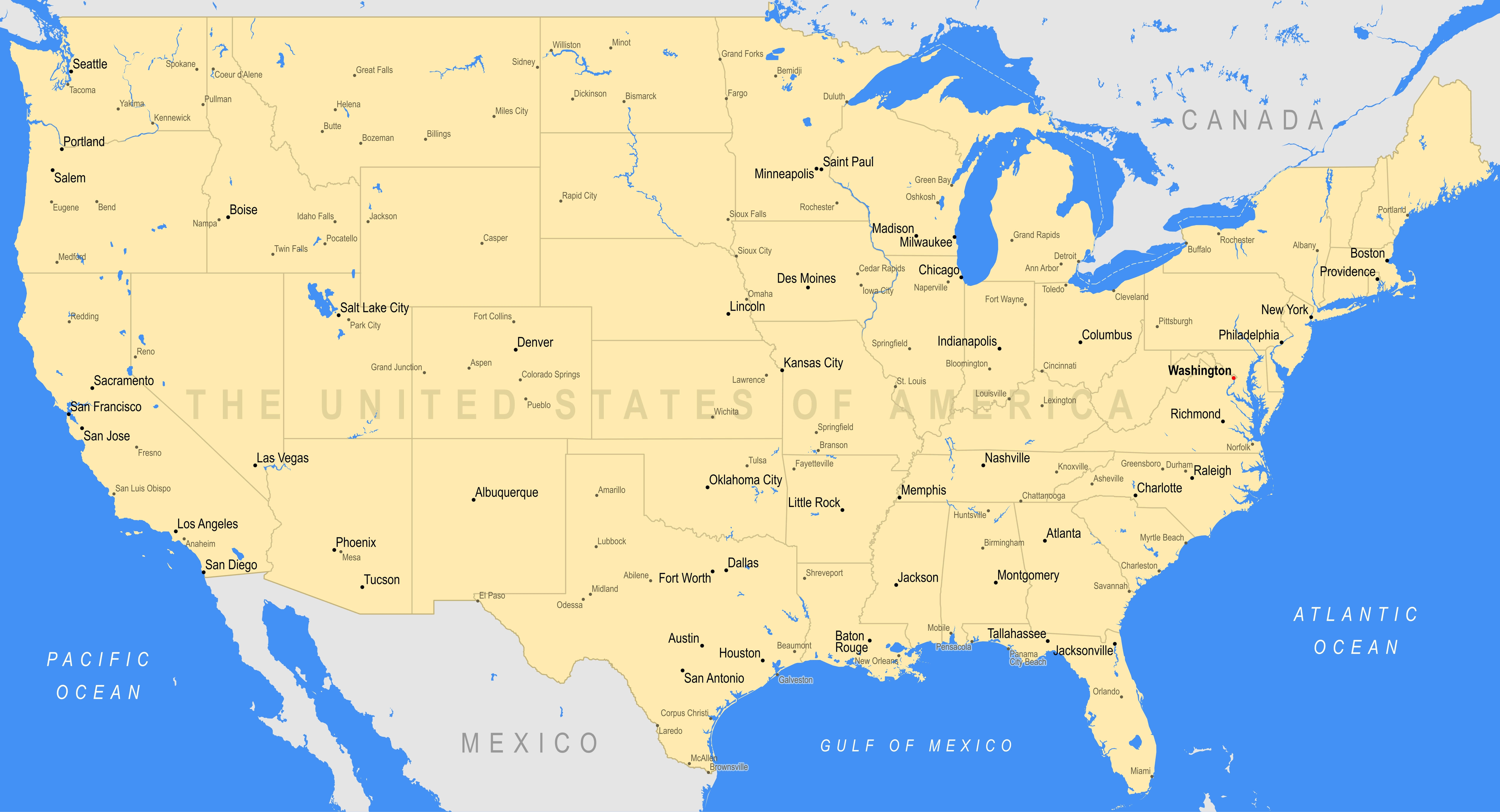
us major cities and lakes map
Feel free to explore these pages as well: