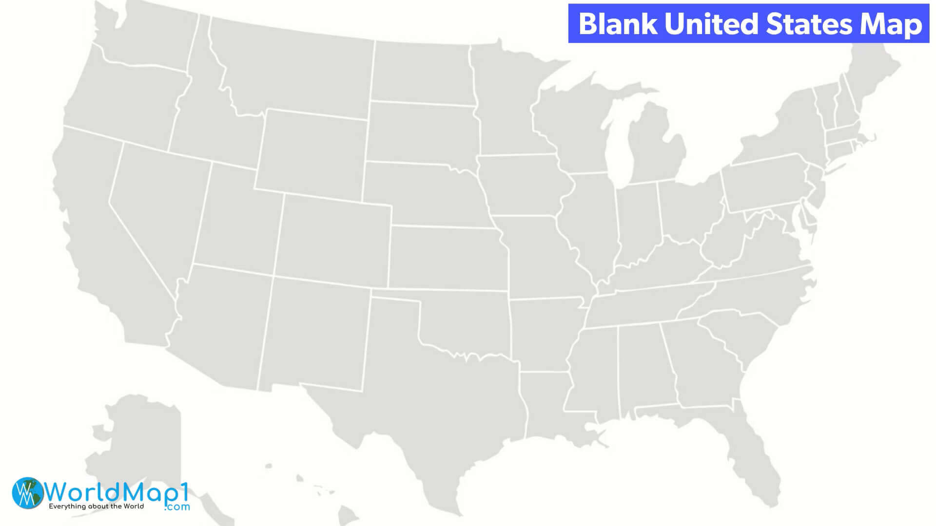
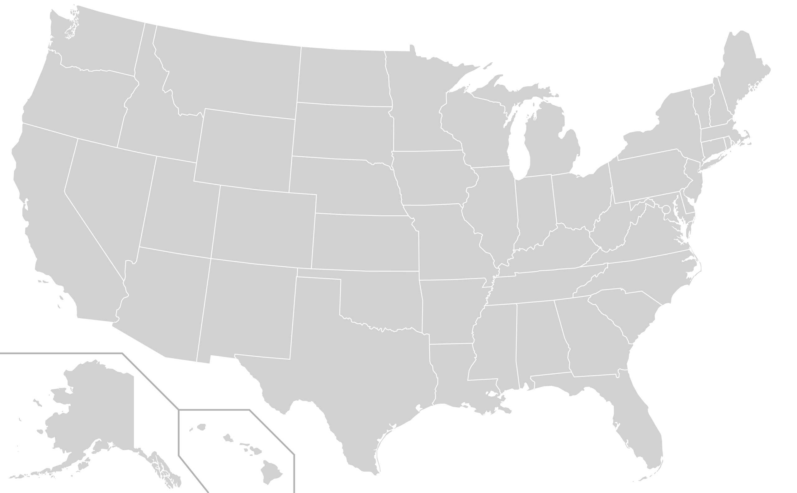
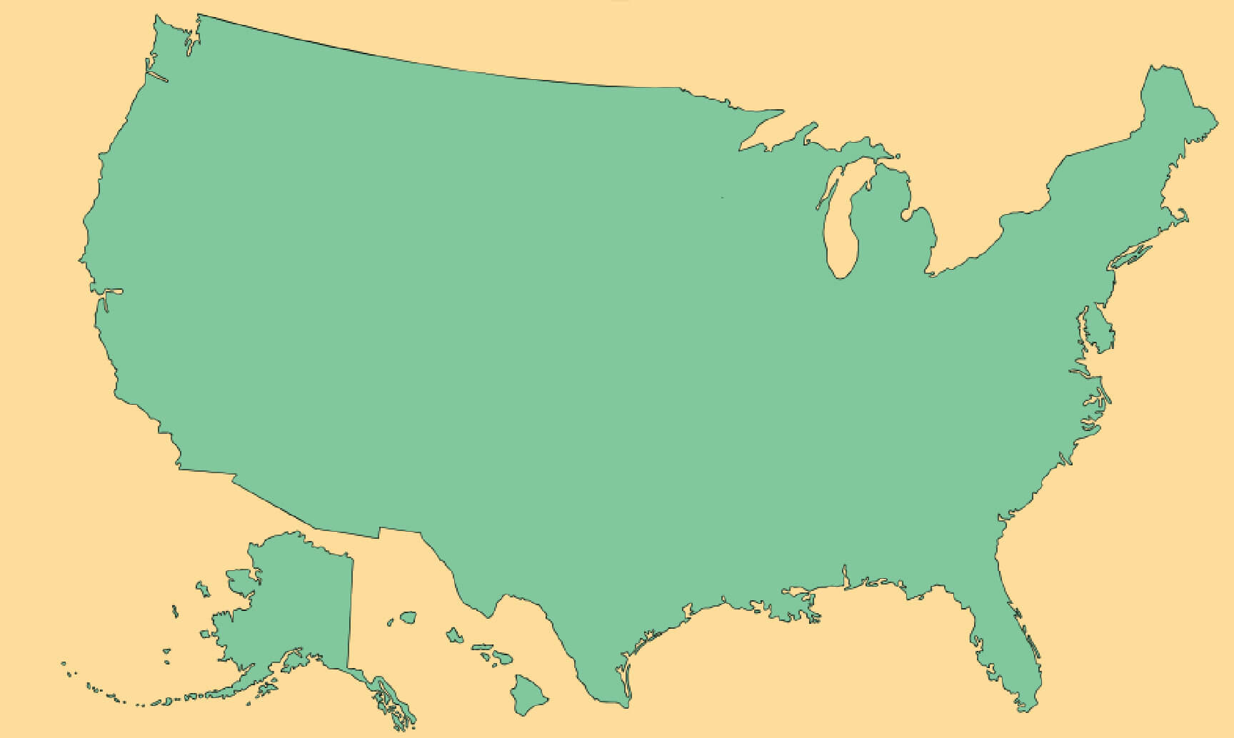
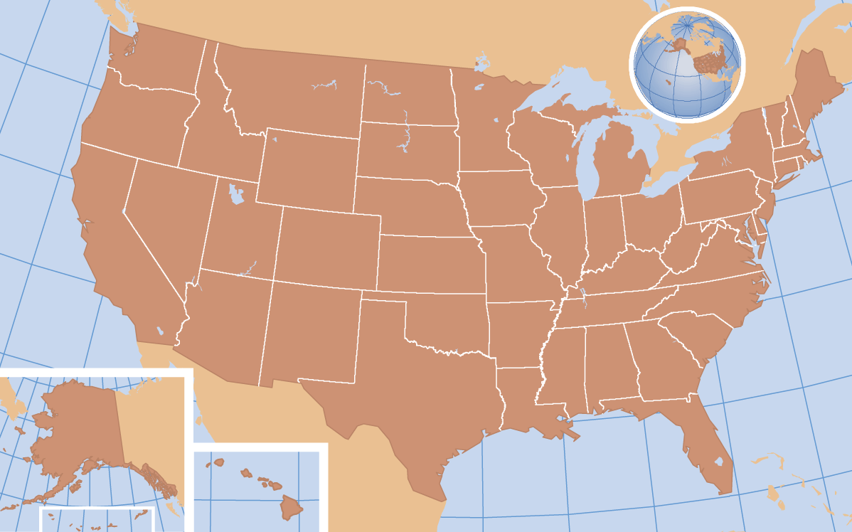
Blank Map of US States with Canada and Mexico Borders
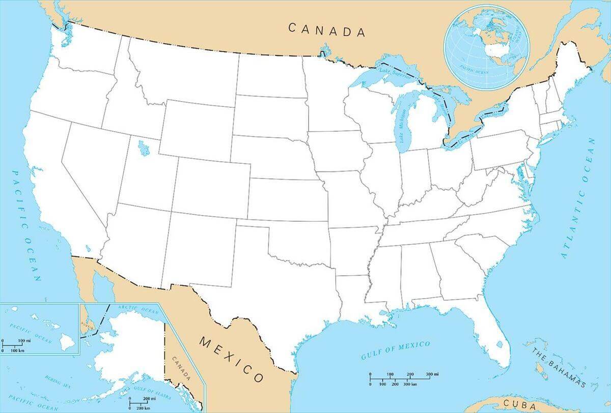 Blank map of US states showing borders with Canada, Mexico, and coastlines.
This blank map of the United States outlines all 50 states with clear borders, showing the country’s boundaries with Canada to the north, Mexico to the south, and coastlines along the Pacific, Atlantic, and Gulf of Mexico. Ideal for geography study, coloring, or marking cities, rivers, and landmarks.
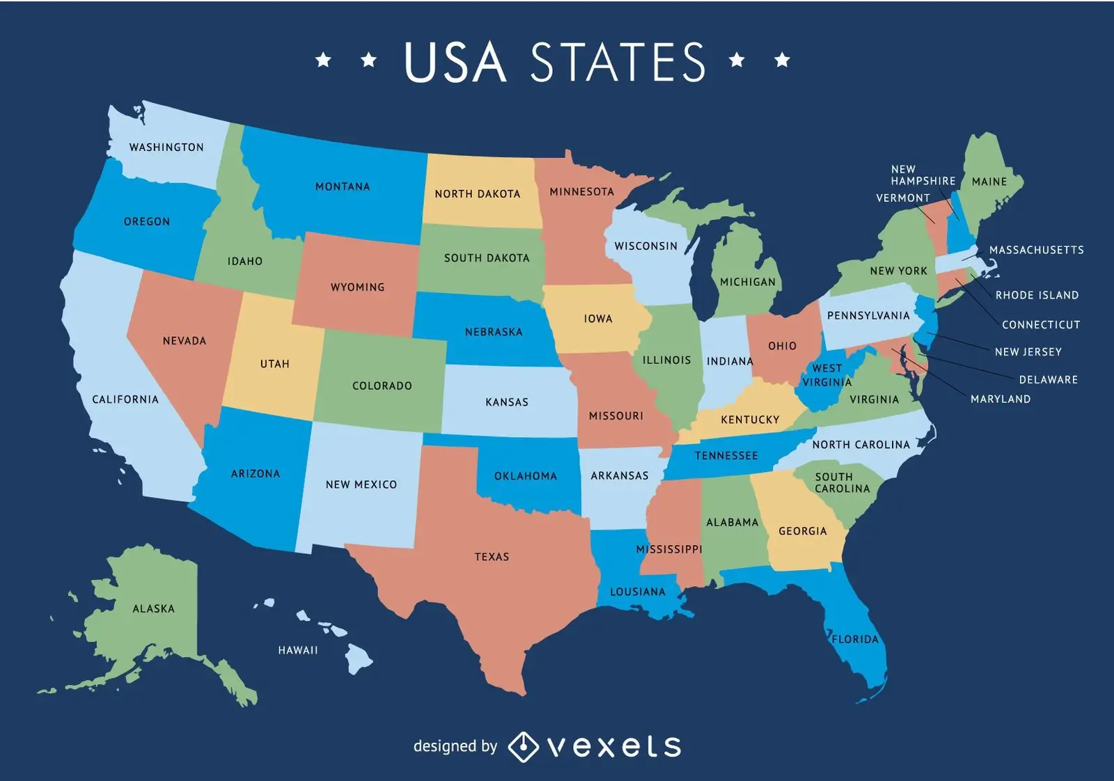
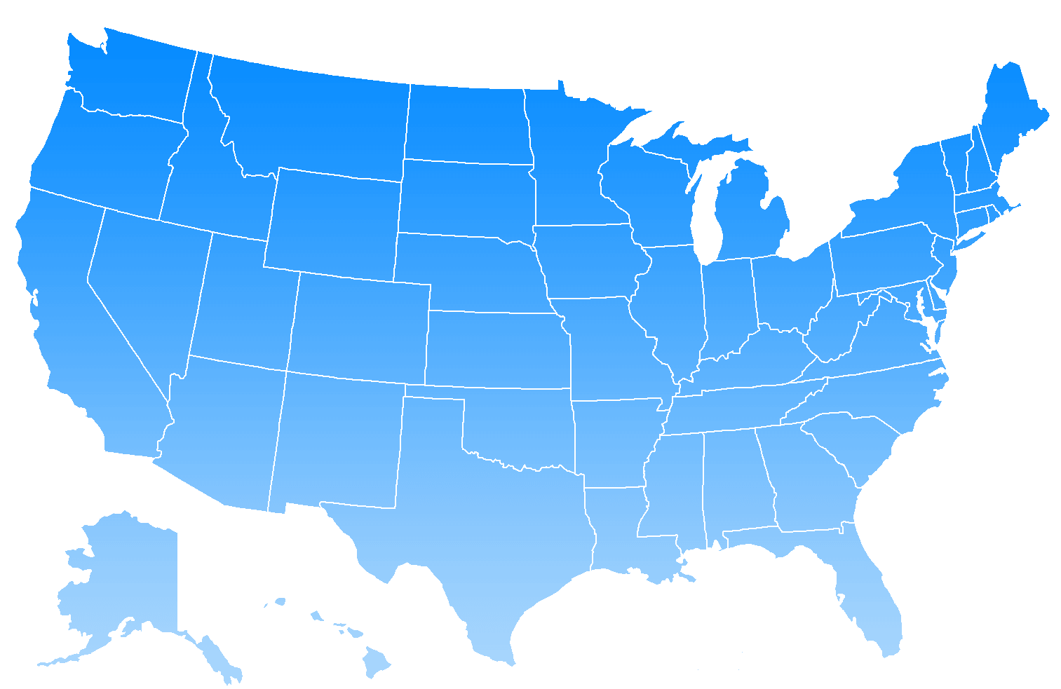
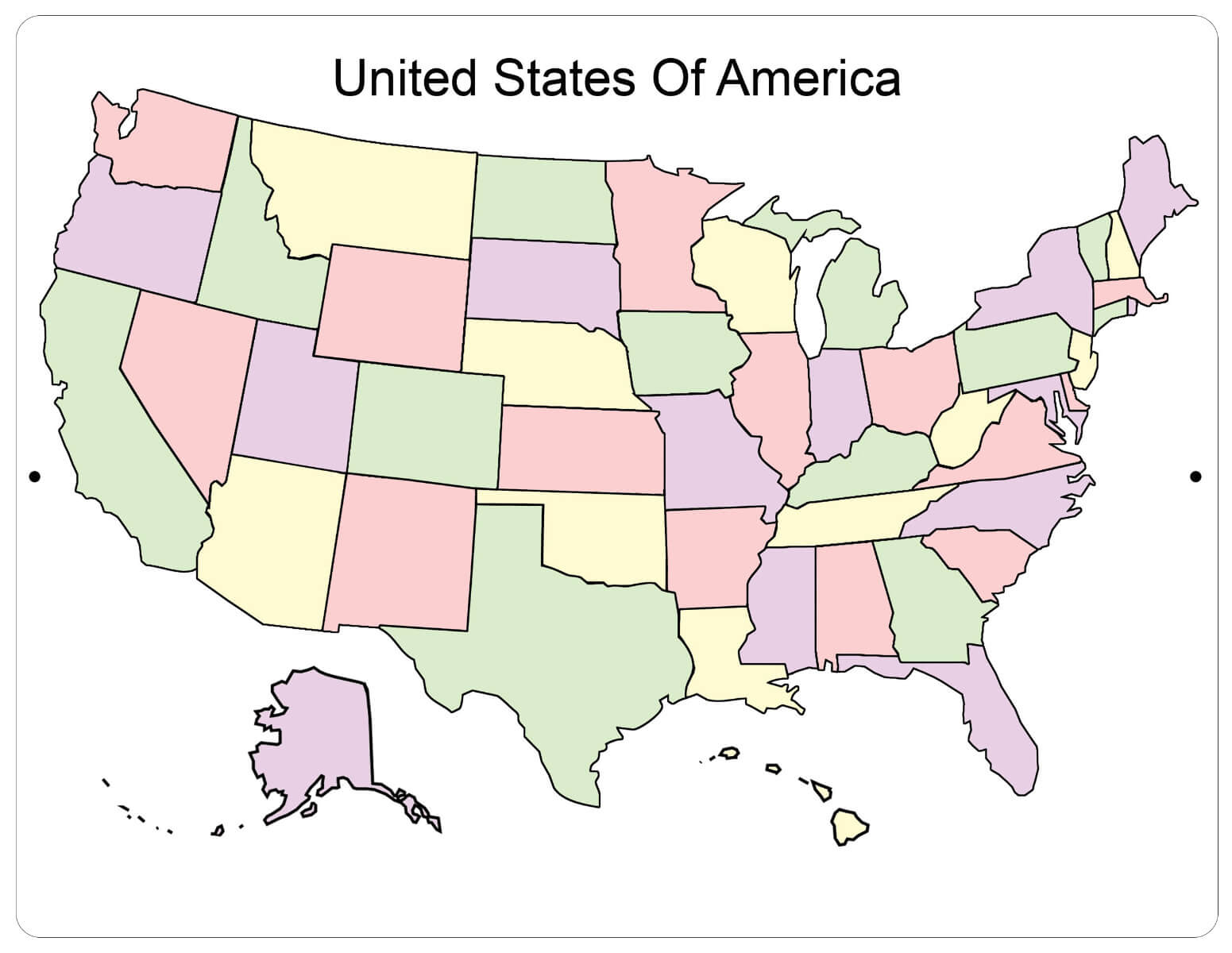
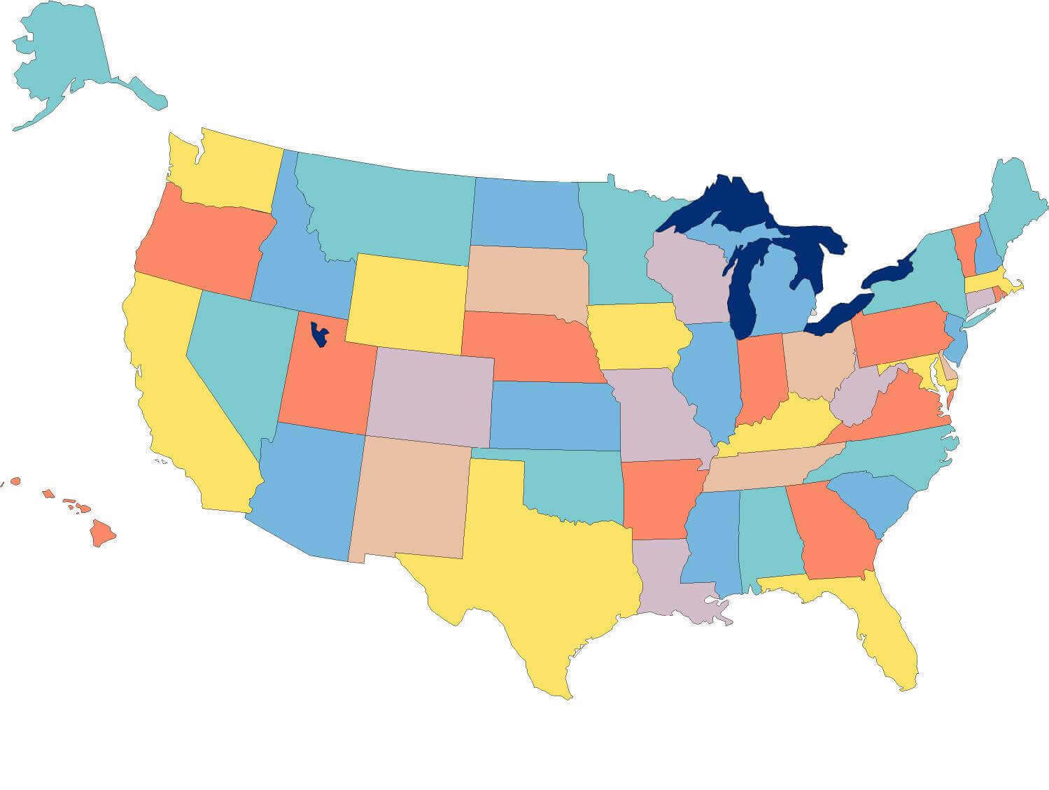
Colorful Blank Map of the United States with States
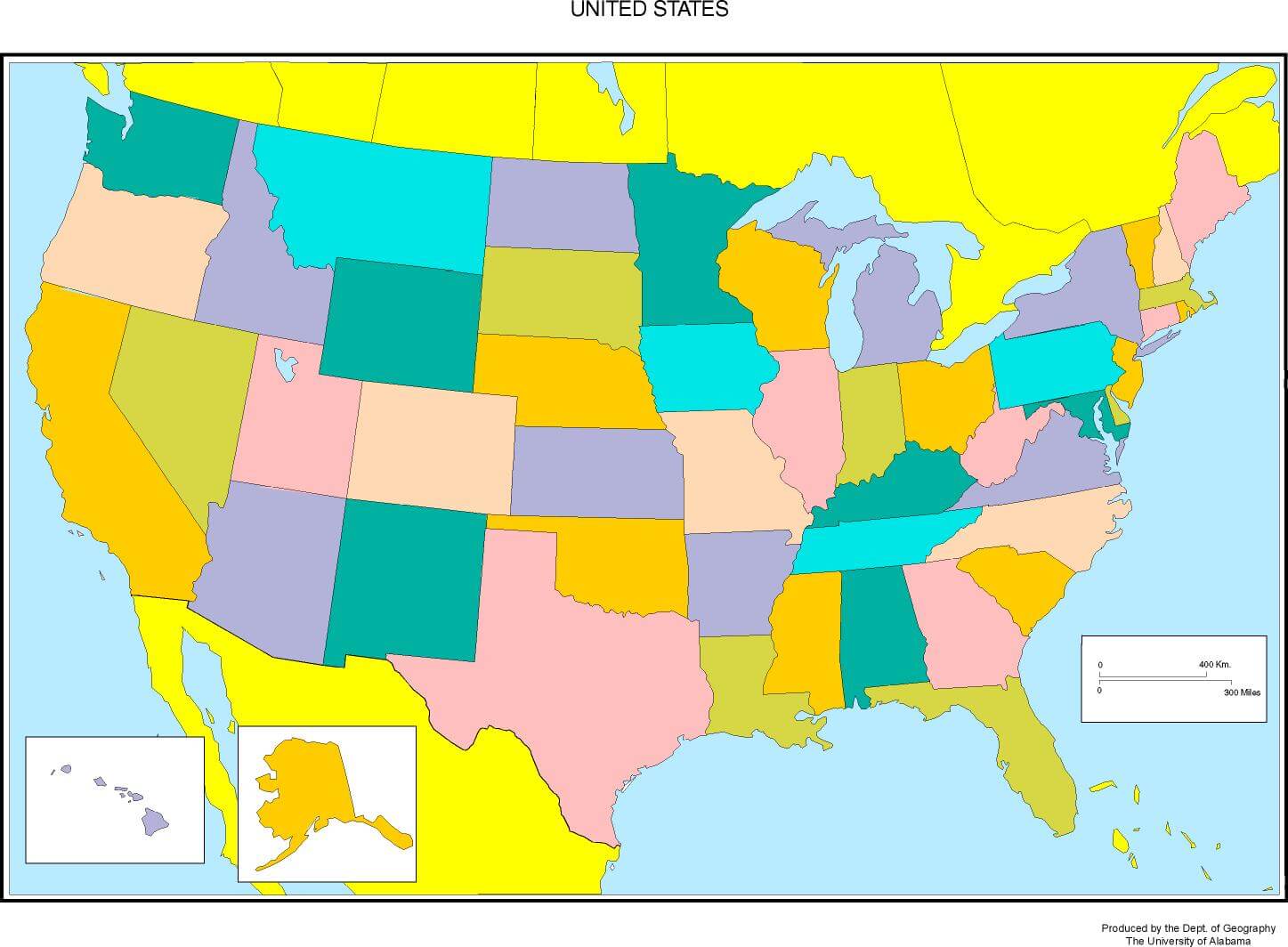 Colorful blank map of the United States showing all 50 states with borders.
This colorful blank map of the United States displays all 50 states with clear borders, ideal for study, teaching, and geography projects. It includes Alaska and Hawaii, making it a complete educational resource for learning U.S. state locations and outlines.
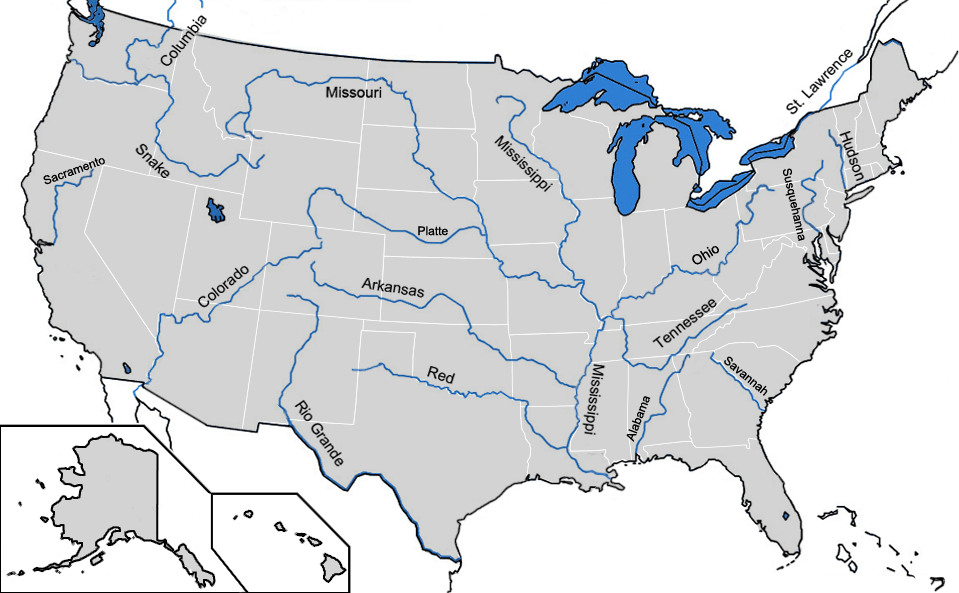
Blank map of major rivers in US
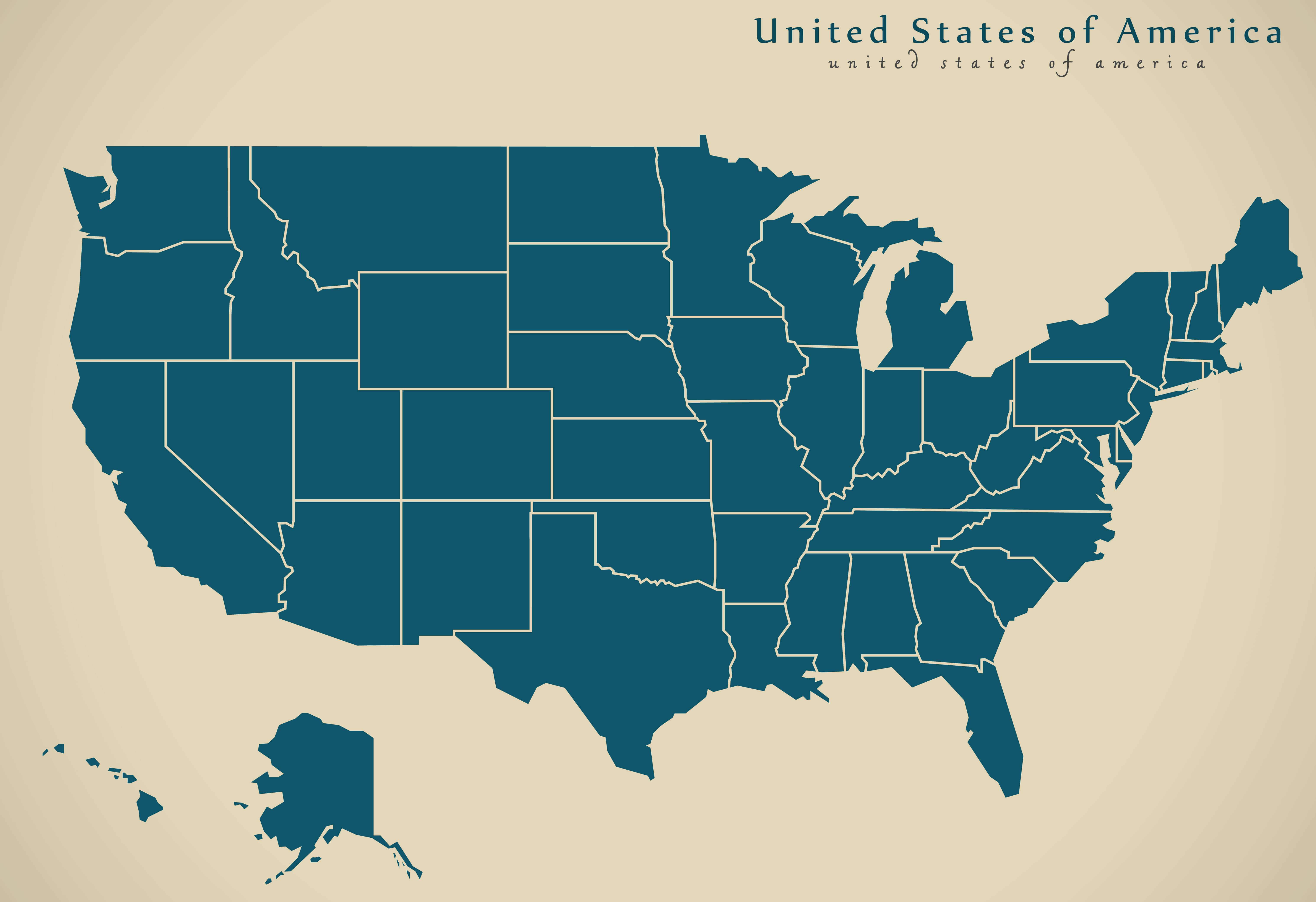
Blank map of the US
US printable blank map
USA blank map by states
Blank map of the US with states borders
Blank map of the UUS
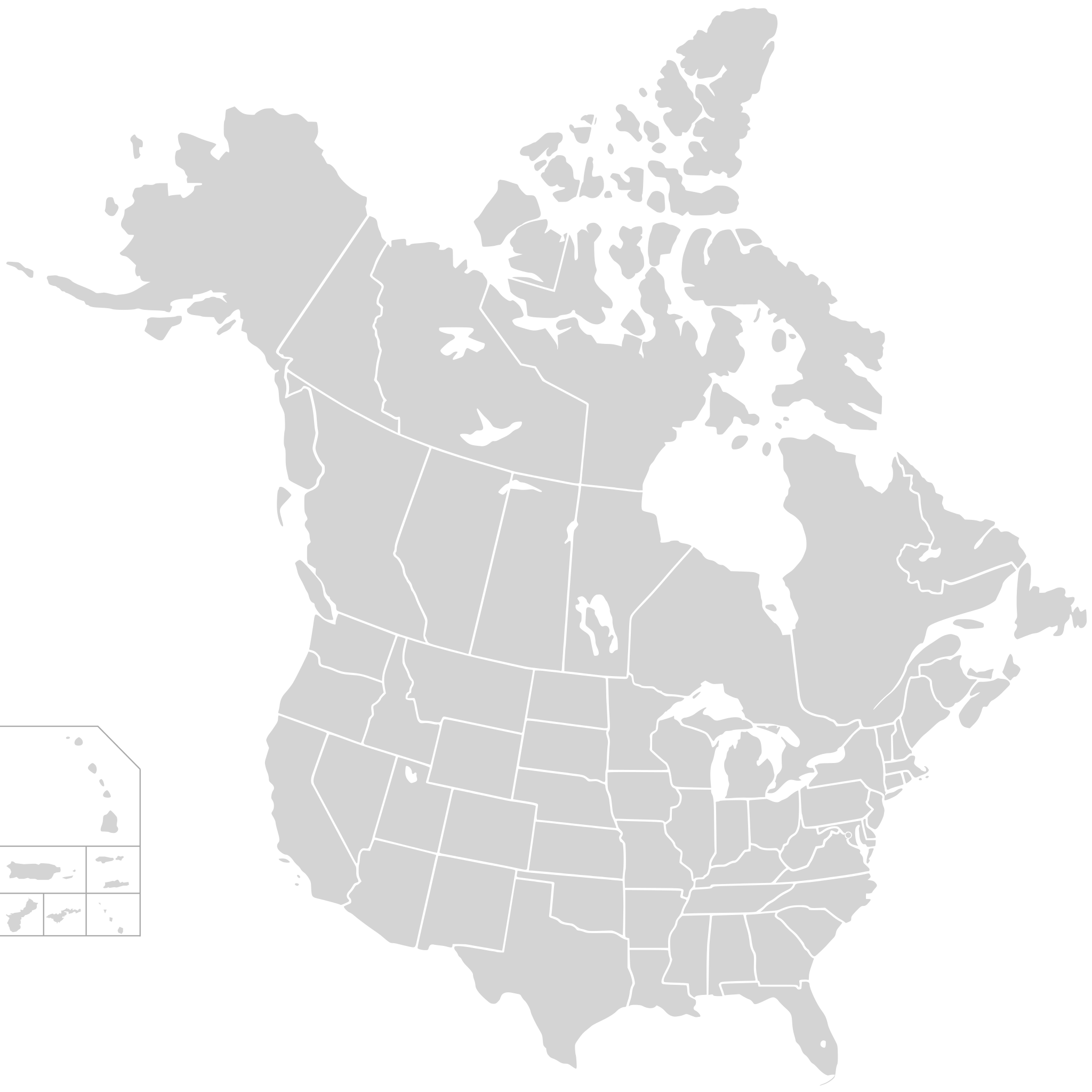
Blank map USA states and Canada
Blank US map
US map blank
US outline blank map
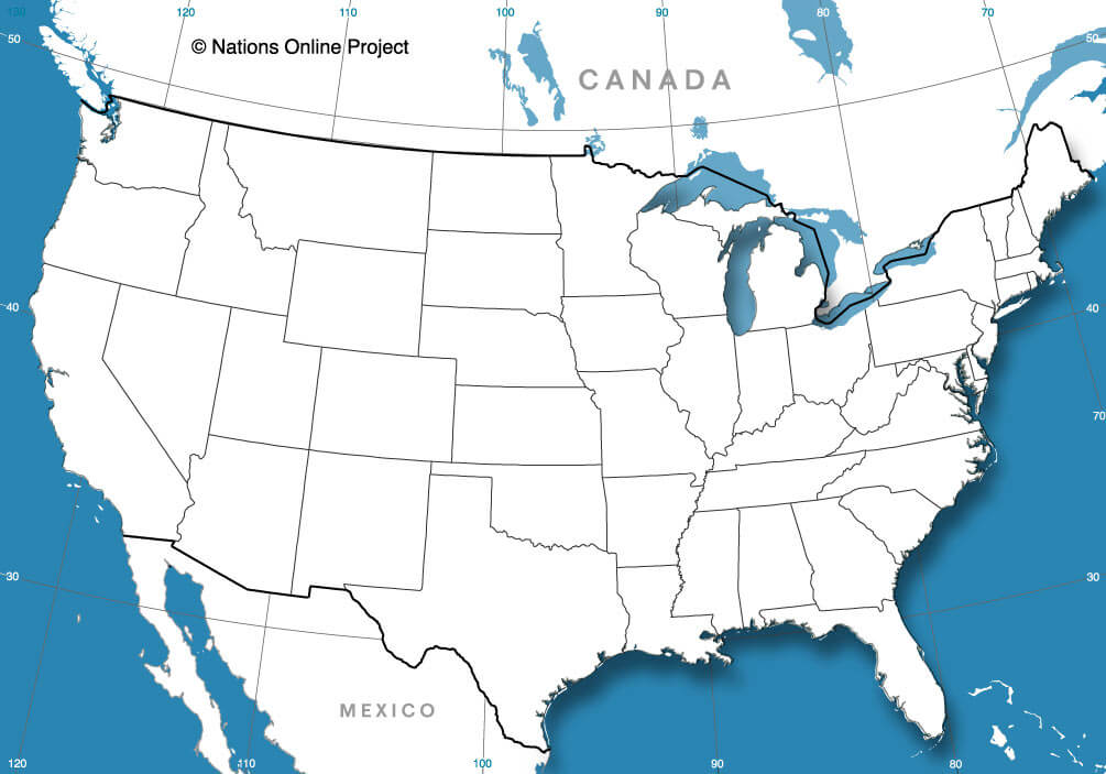
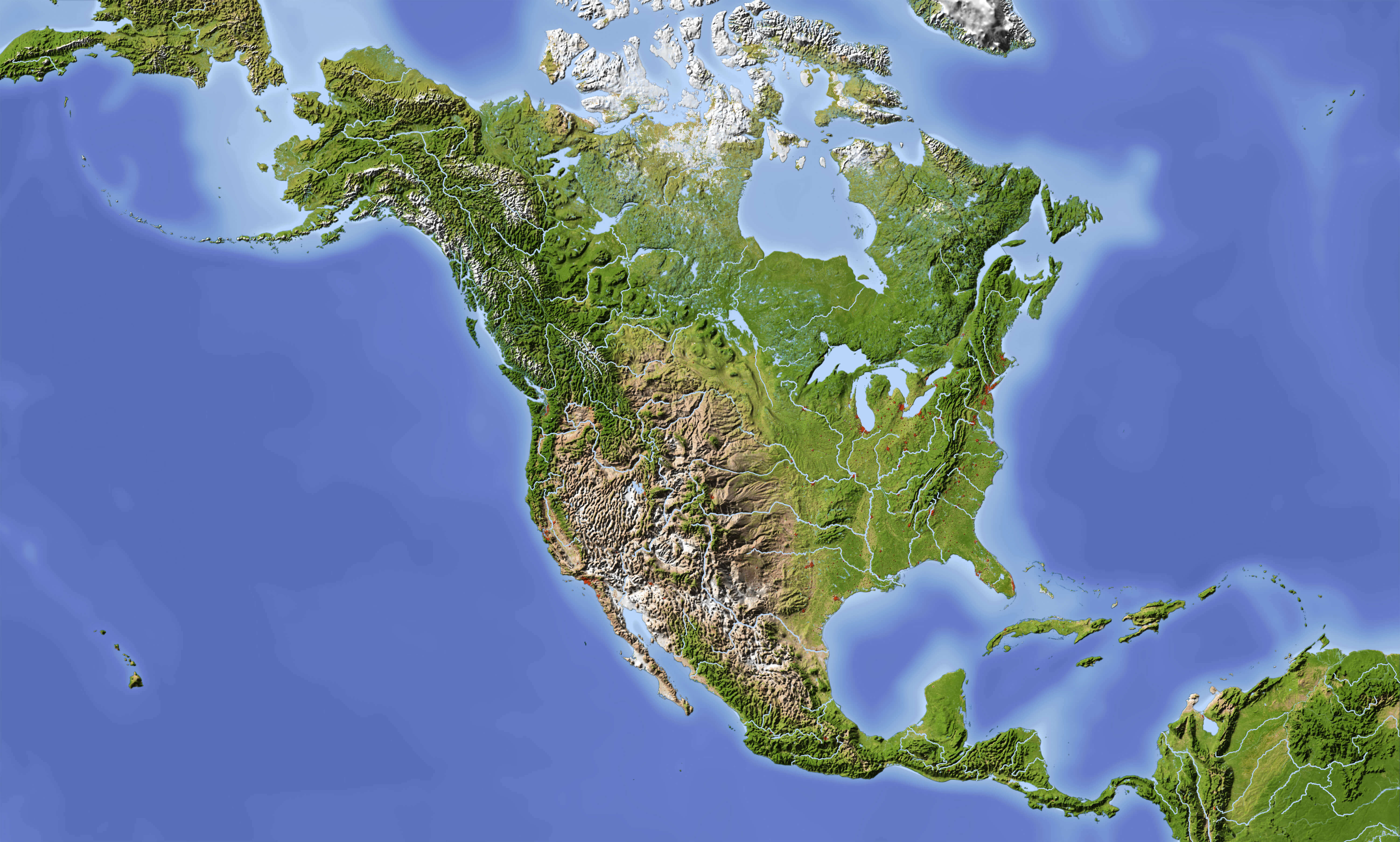
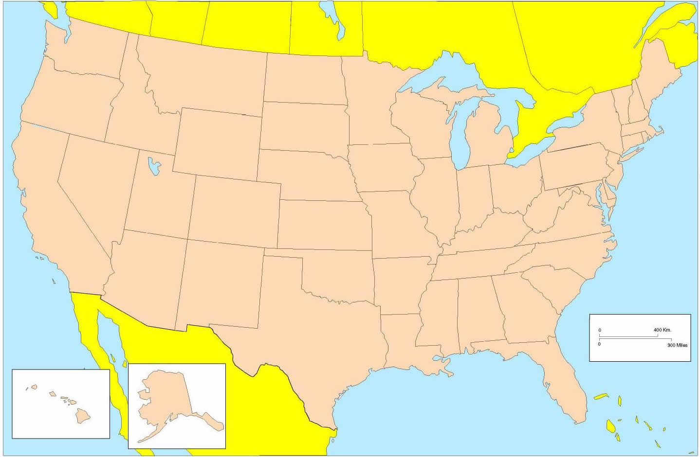
North America and US blank map with Central America
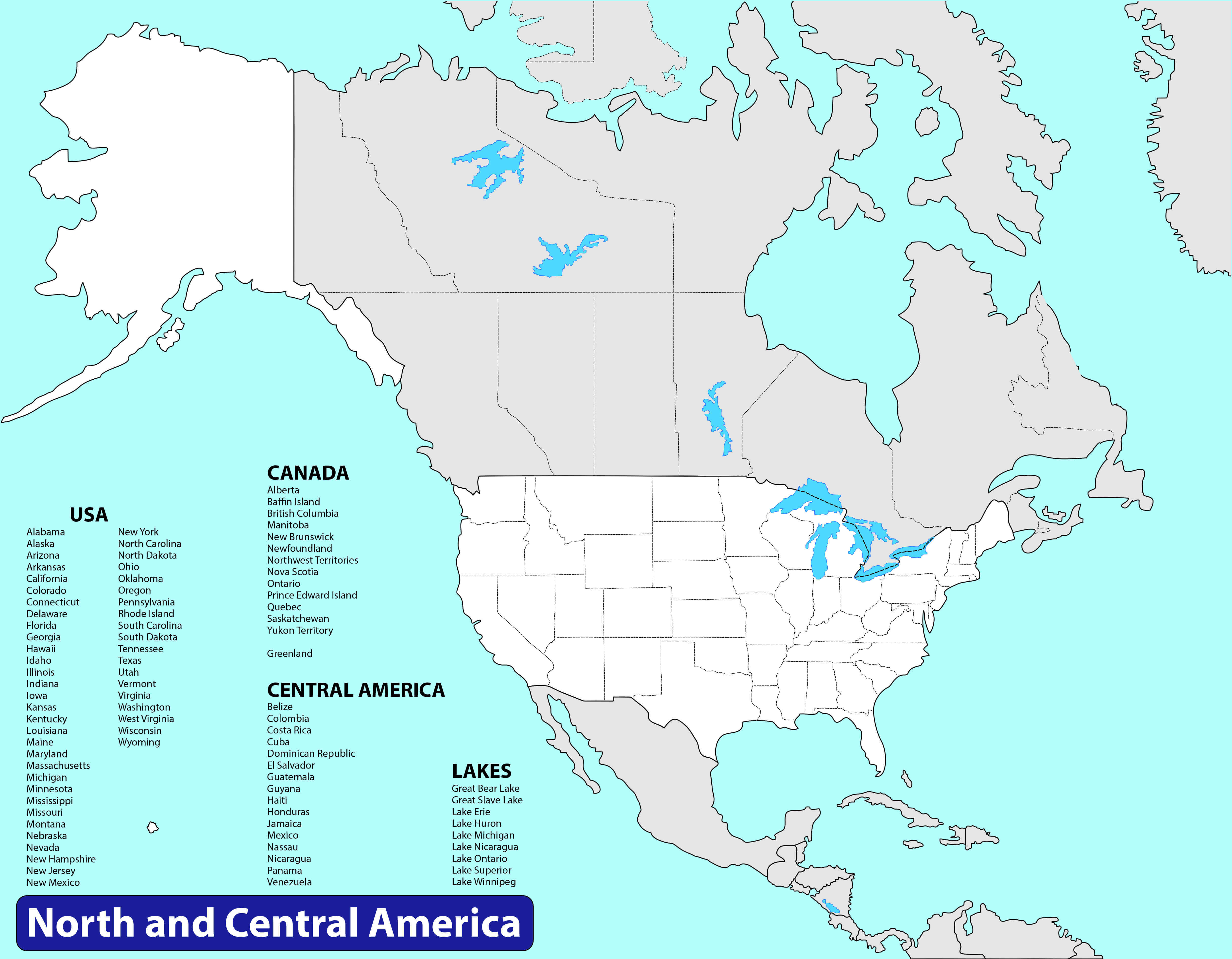
North America and US blank map
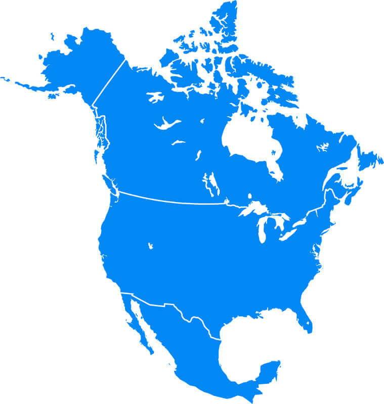
the US and americas blank physical map
the US blank map
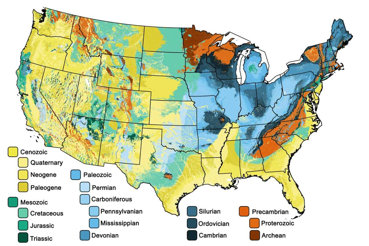
US geologic blank map
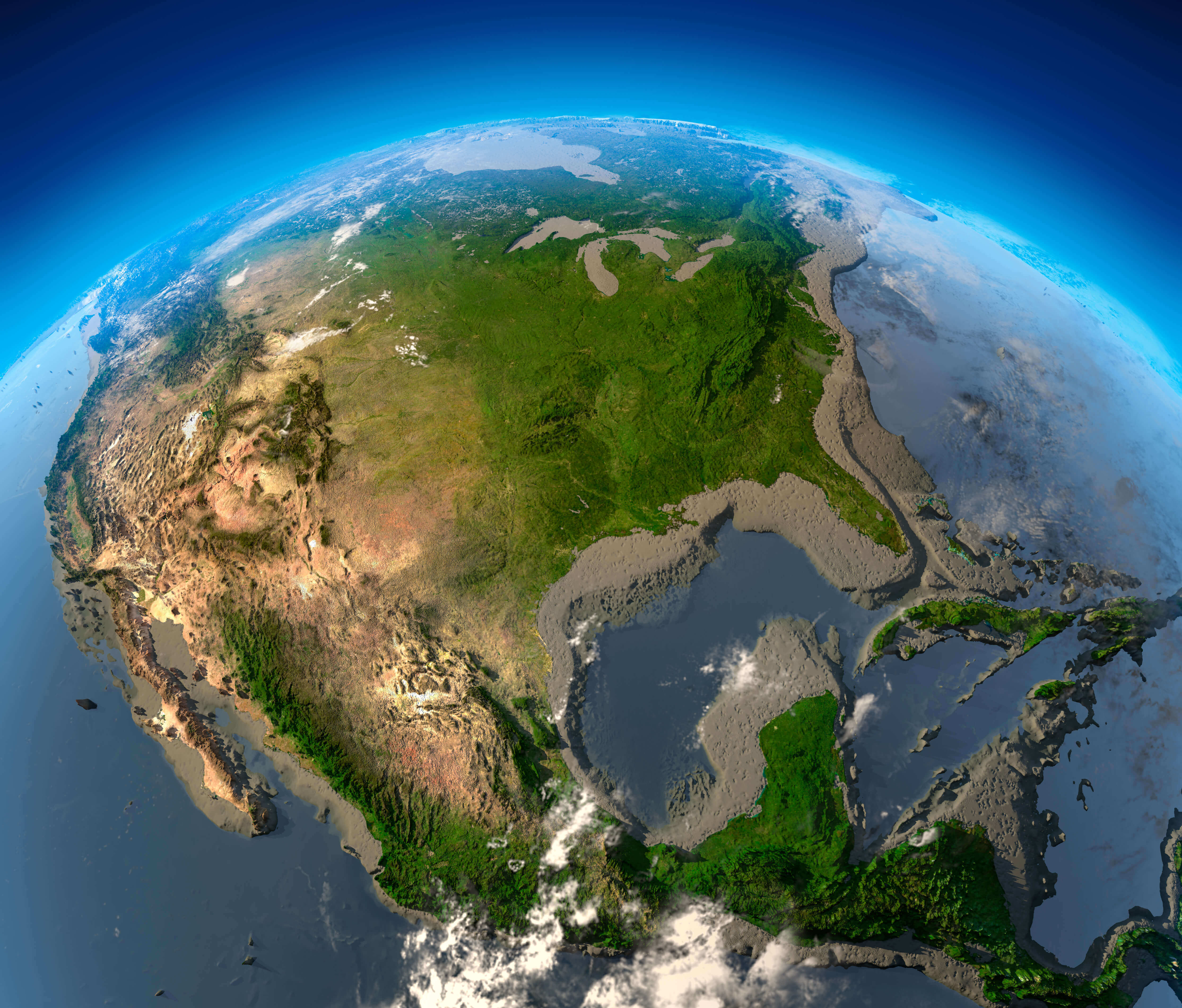
US high resolution US satellite map
the USA blank map
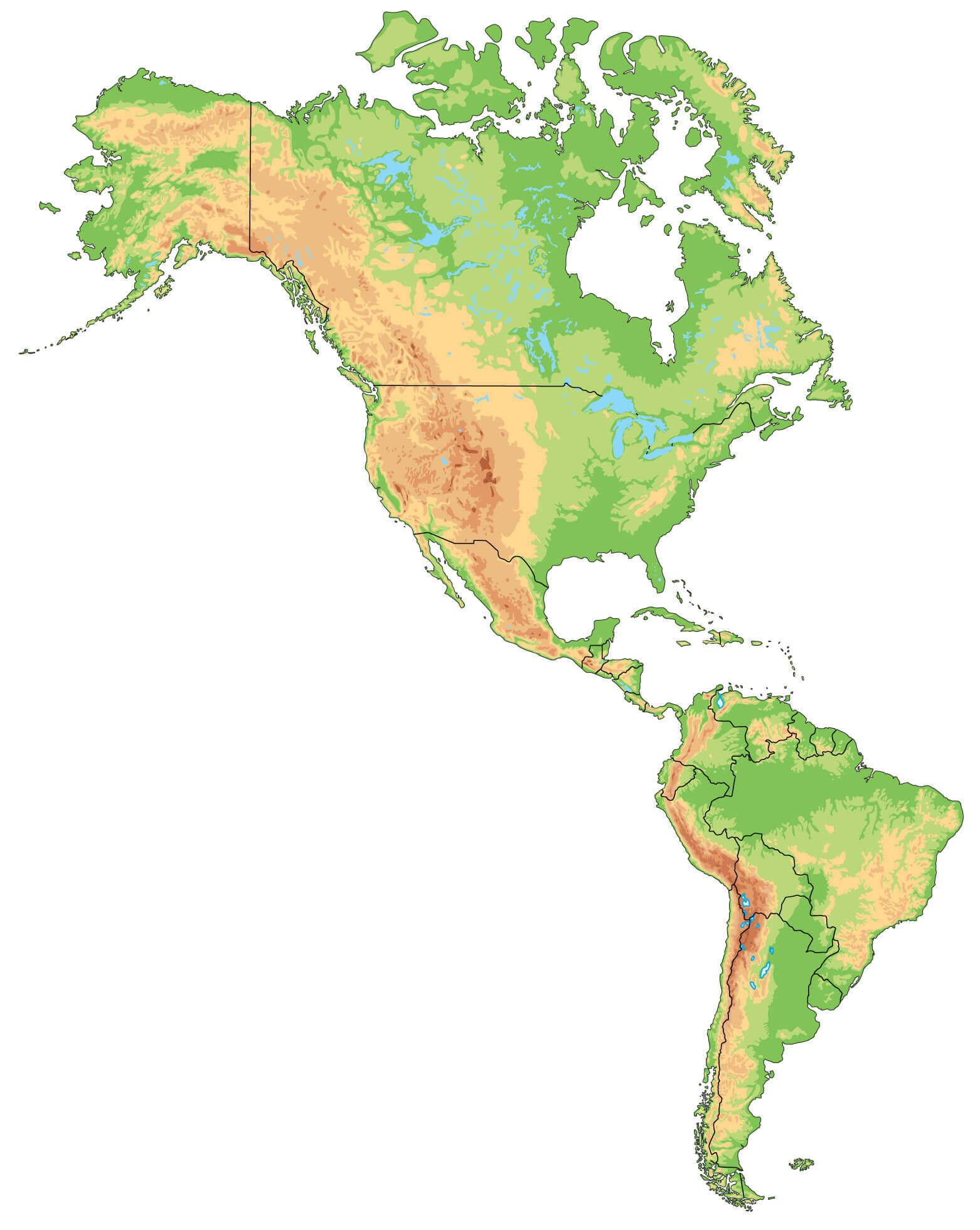
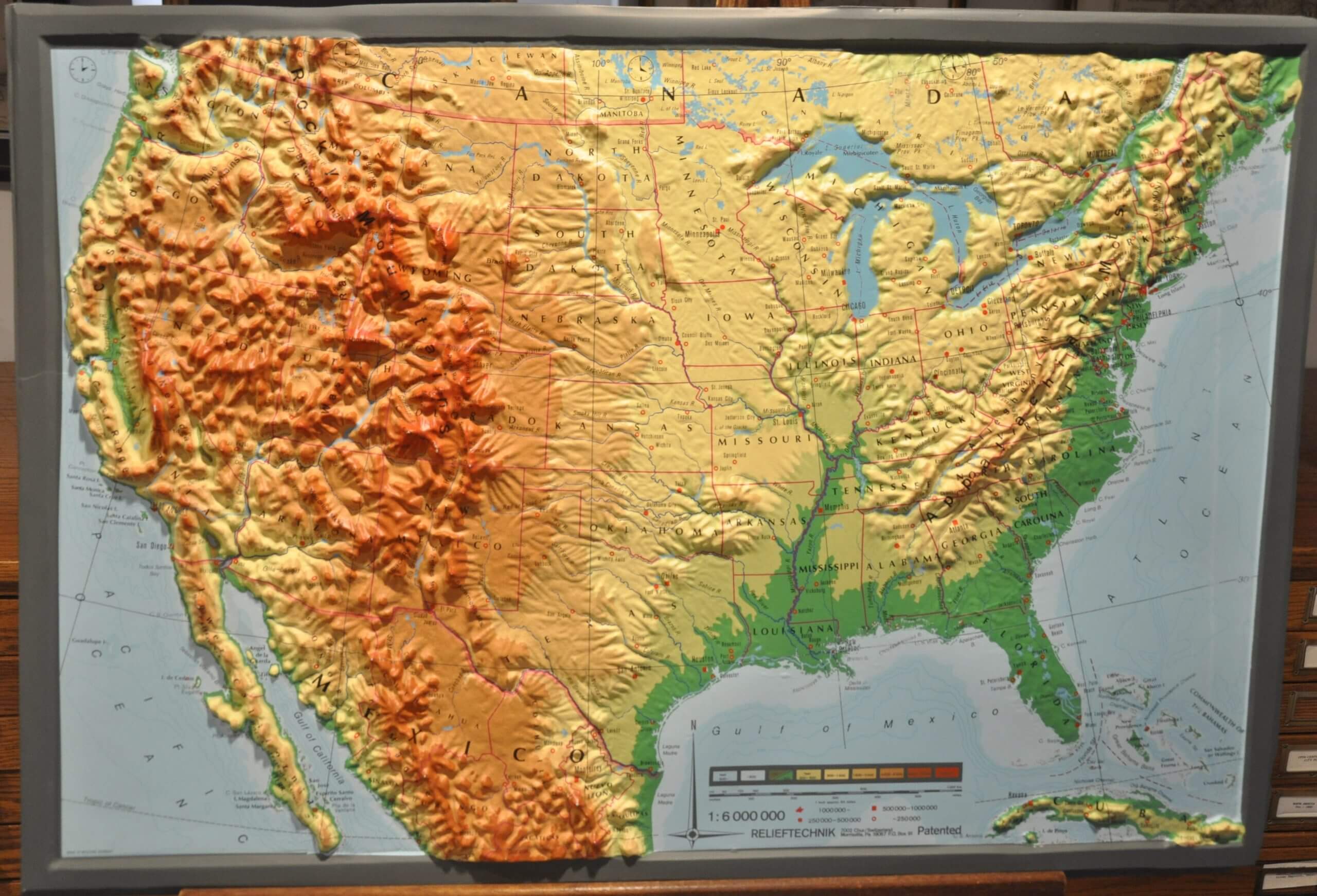
US and North America physical blank map
US blank location map
US blank map by states
US blank map with Alaska and Hawaii
US blank map
US blank physical map
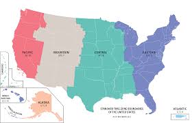
US blank time zone map
Feel free to explore these pages as well: