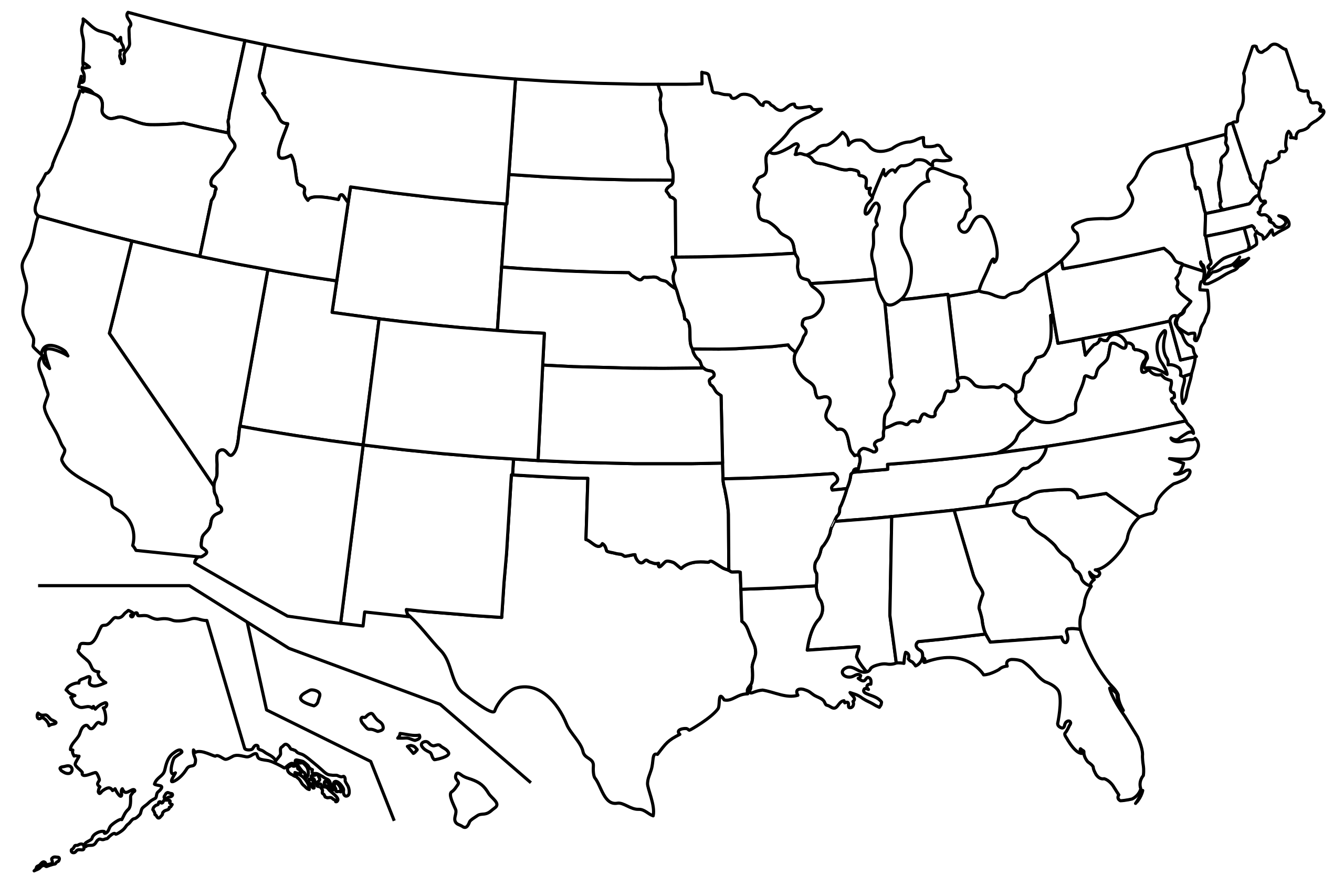
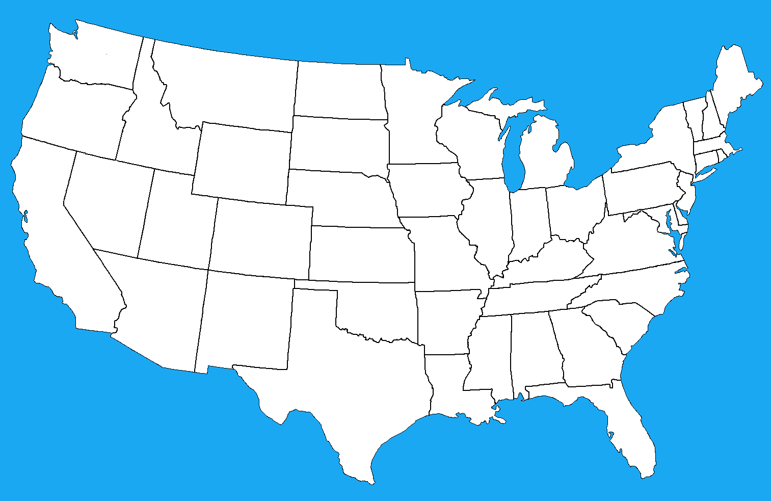
UnitedBlank Map of the United States with State Borders
 Blank map of the United States showing state borders and outlines.
This blank map of the United States displays all 50 states with clear borders and outlines. It is ideal for educational purposes, geography lessons, quizzes, or custom projects. Students and teachers can use it to label states, capitals, rivers, or regions, making it a versatile learning resource.
Green Blank Map of the United States with State Borders
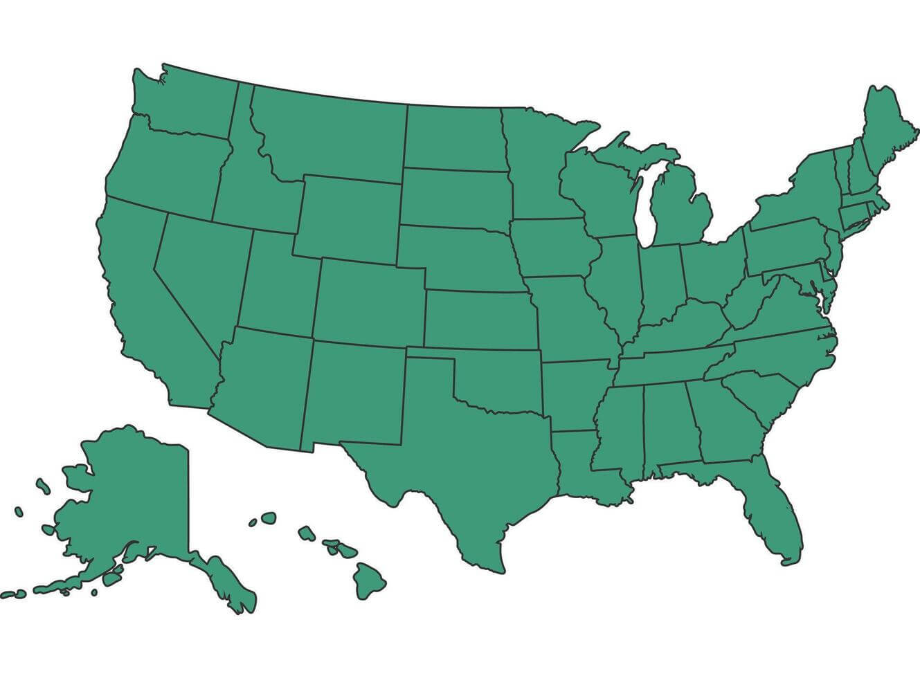 Green blank map of the United States showing state borders and outlines.
This green blank map of the United States shows all 50 states with clear border outlines, including Alaska and Hawaii. It’s perfect for geography study, map coloring, educational use, or teaching U.S. state boundaries in classrooms and learning materials.
Blank United States map borders
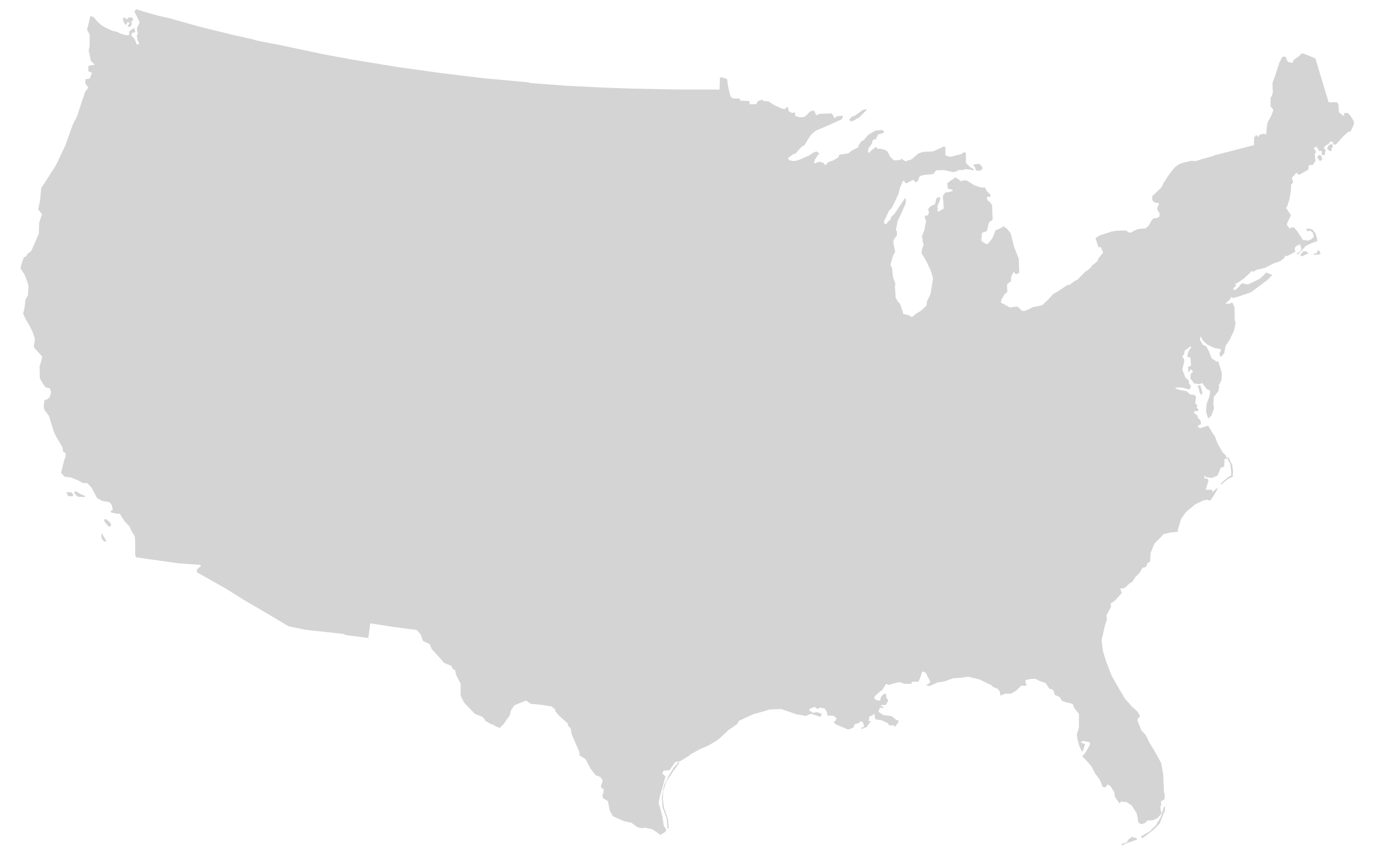
Blank United States map mainland with no states
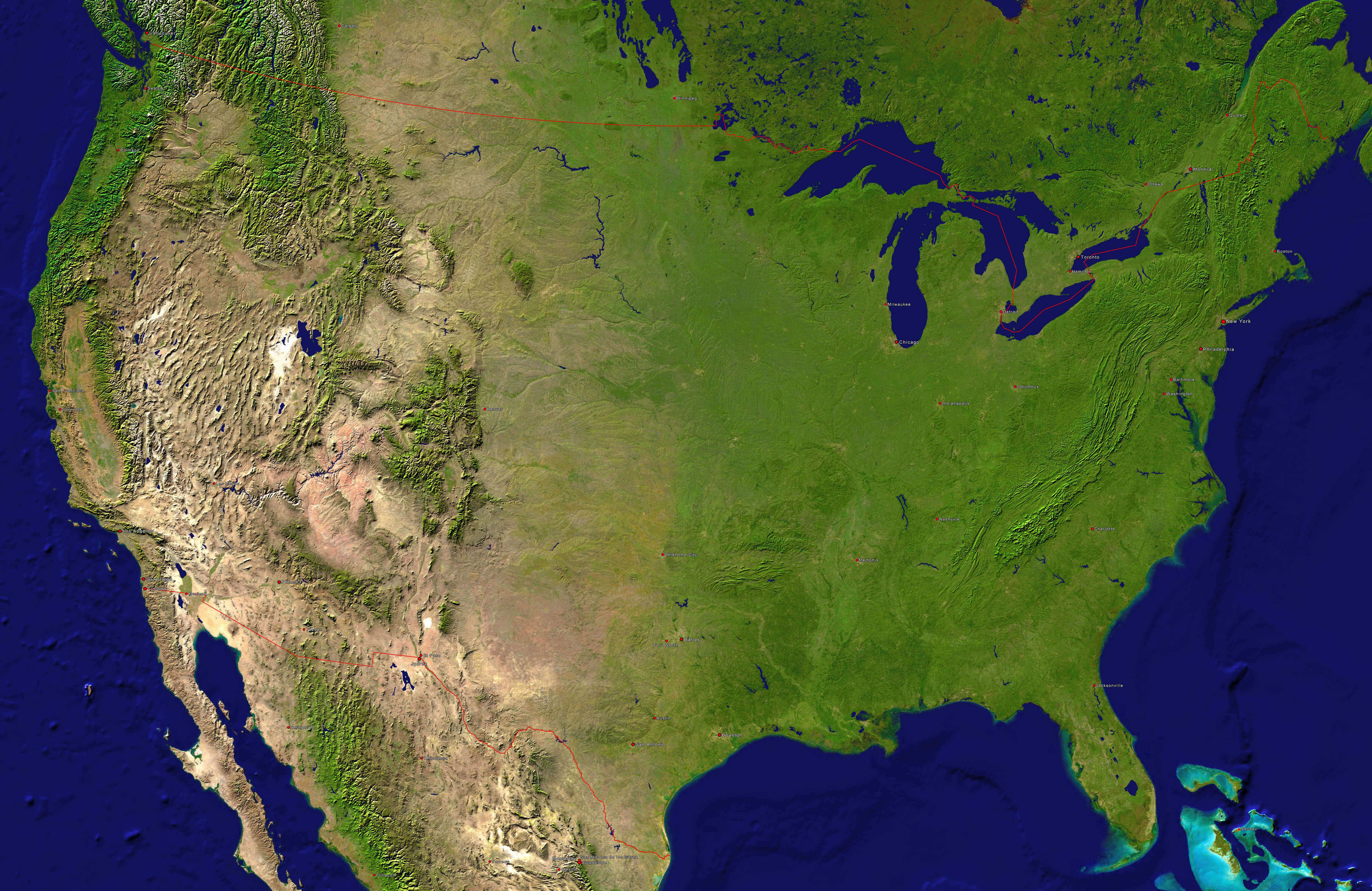
High resolution United States and canada blank physical map
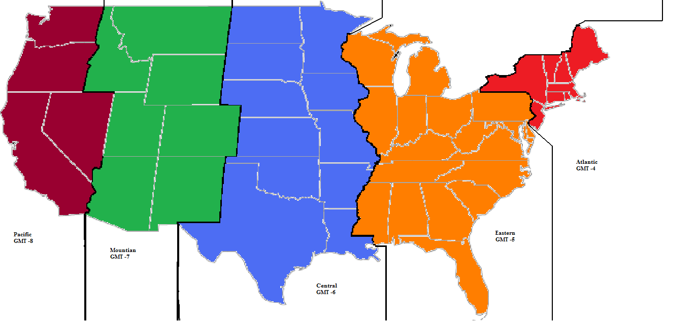
New York time zones with United States blank map
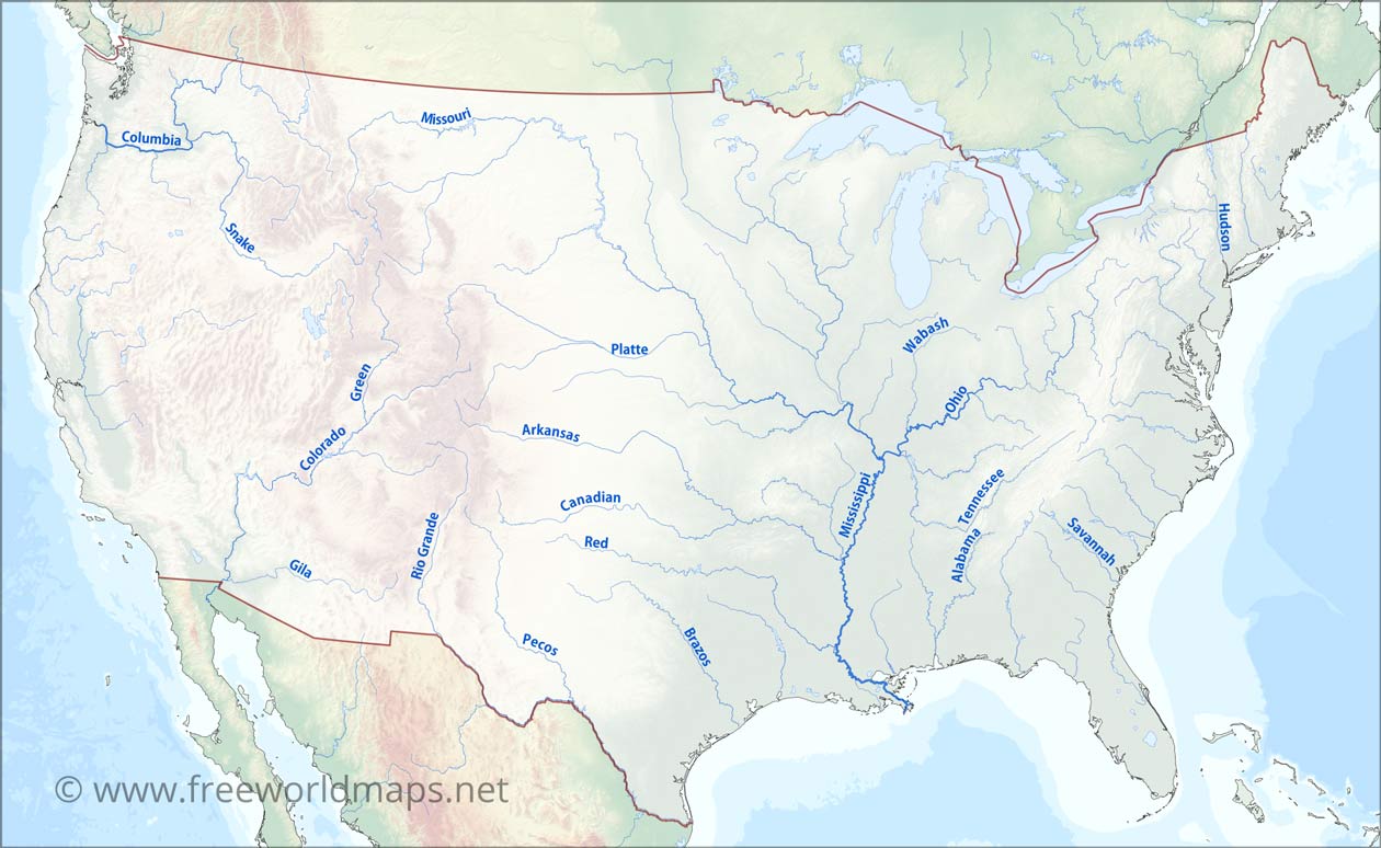
The United States blank map of major rivers
United States blank outline map
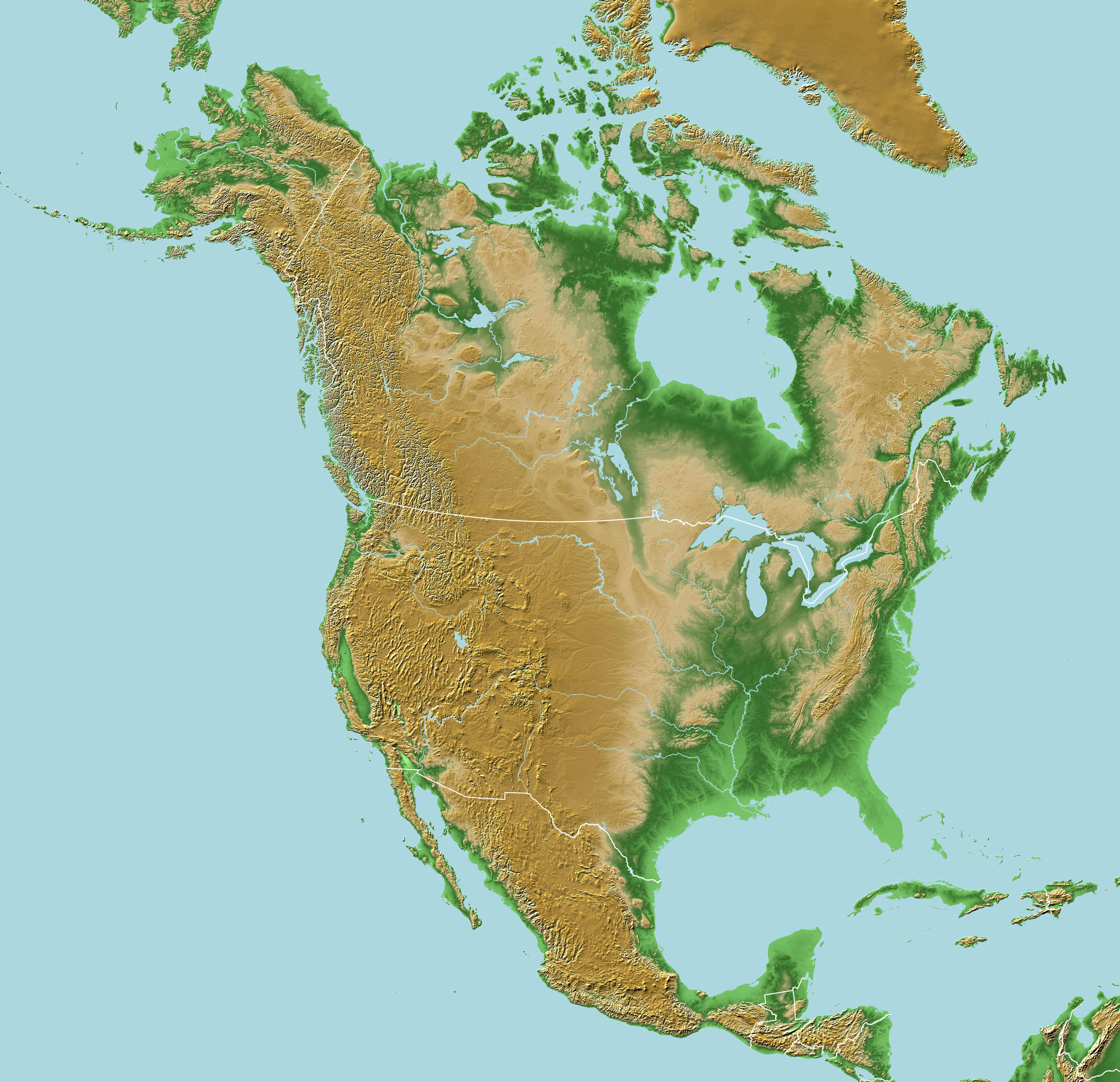
United States blank physical map with North America
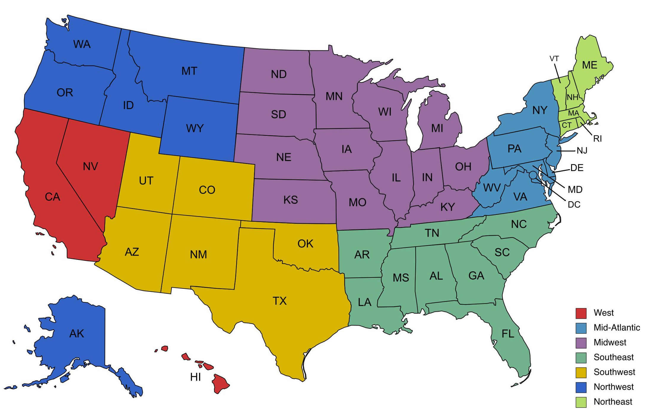
United States blank regions map by states
United States blank time zone map
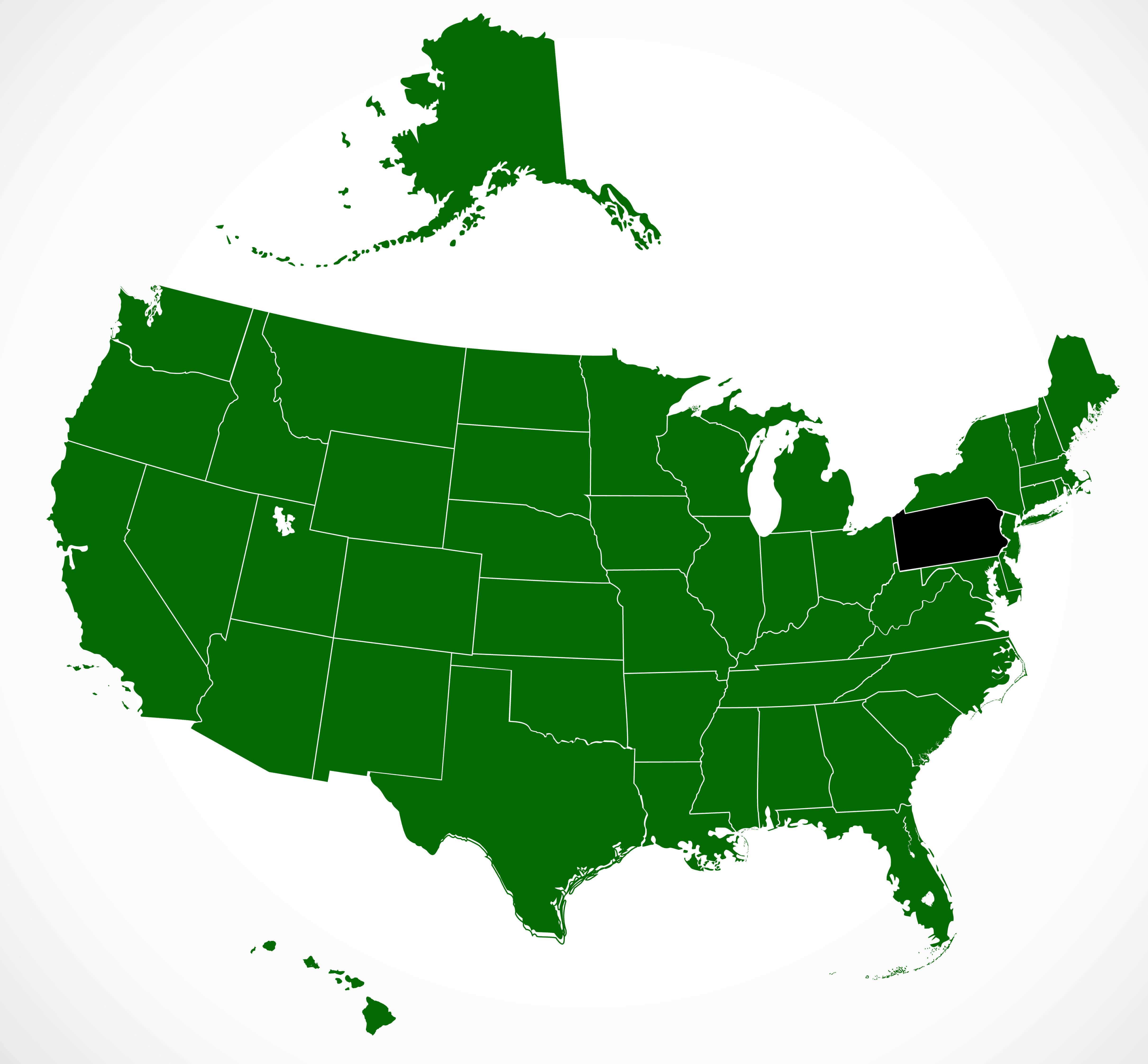
United States of America blank map with Pennsylvania state
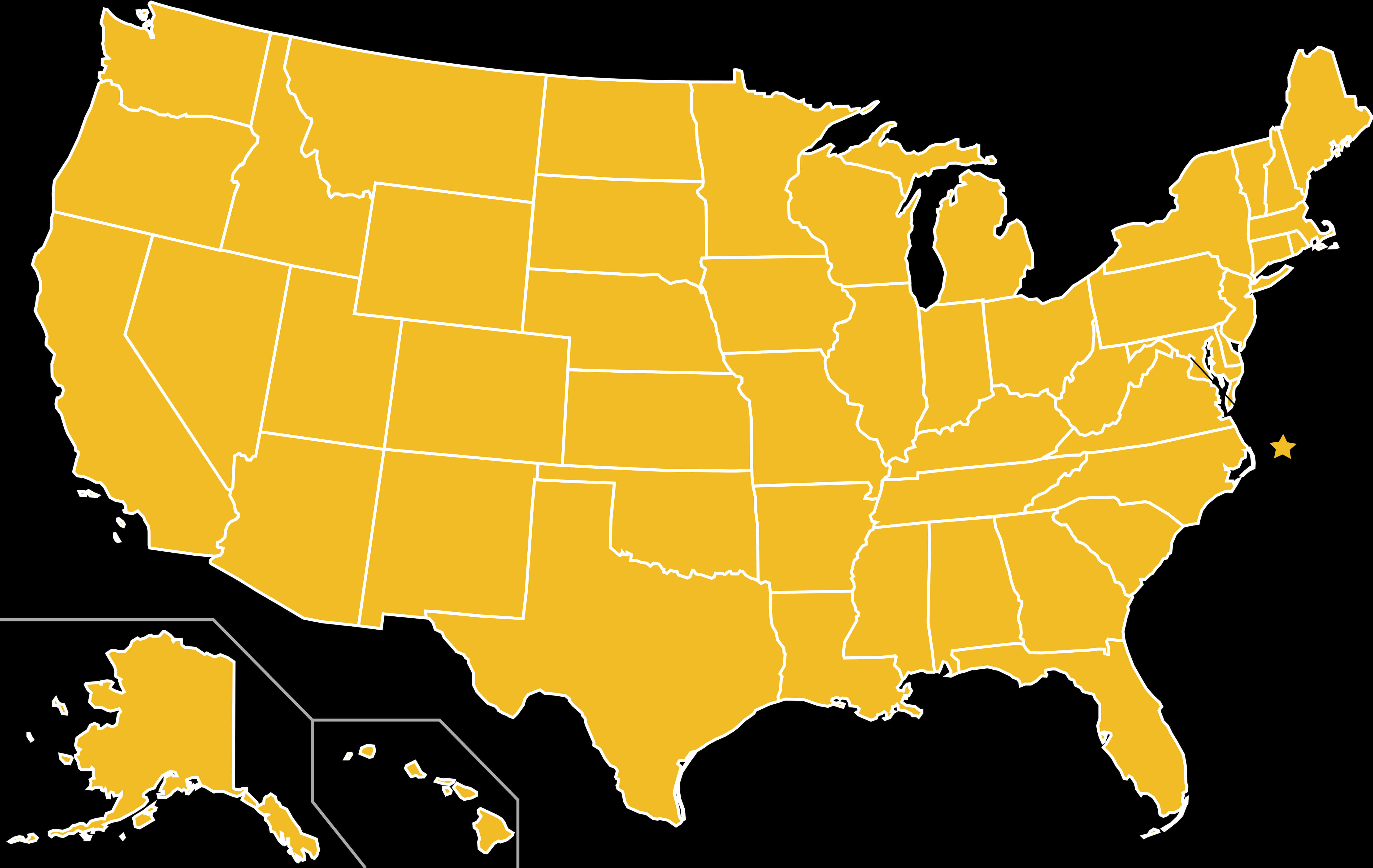
United States outline map in yellow color
The United States of America map with states color blank
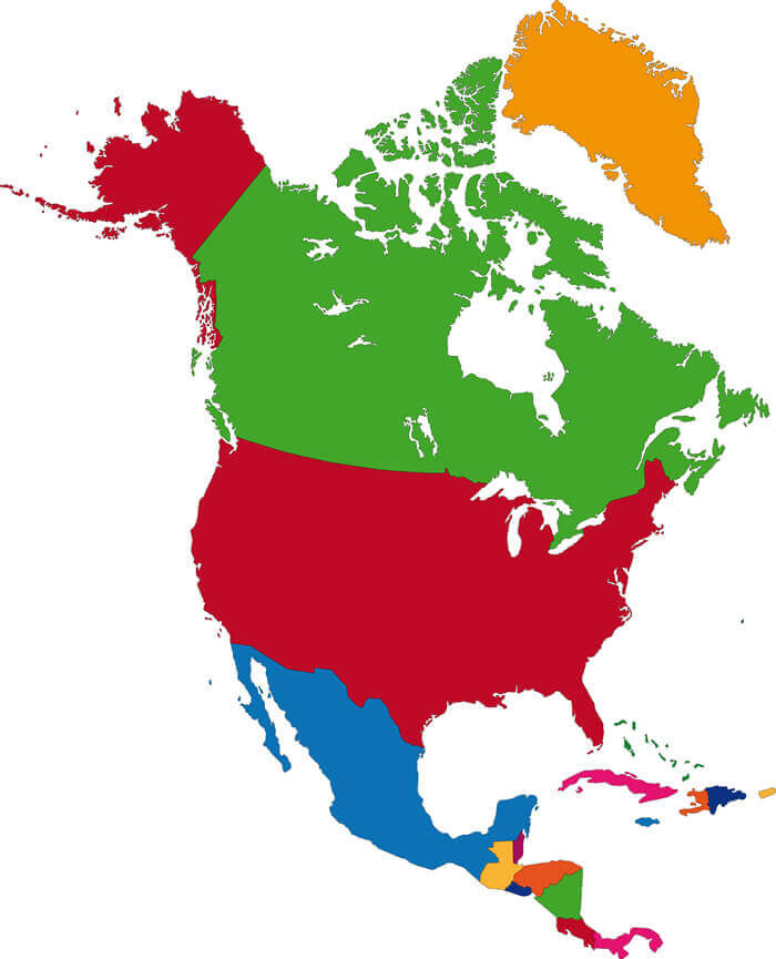
United States and North America countries blank map
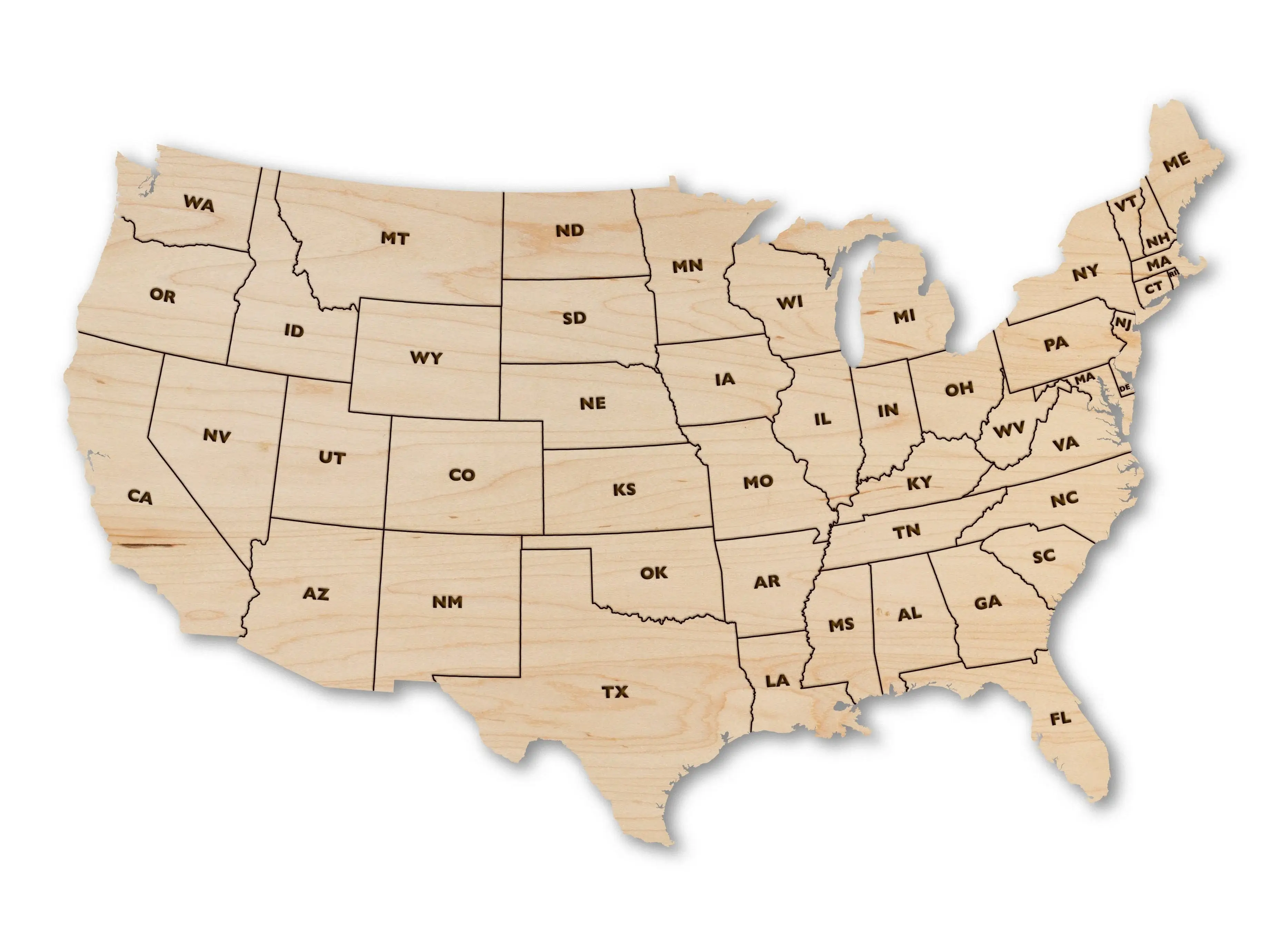
United States bkank map with state abbreviations
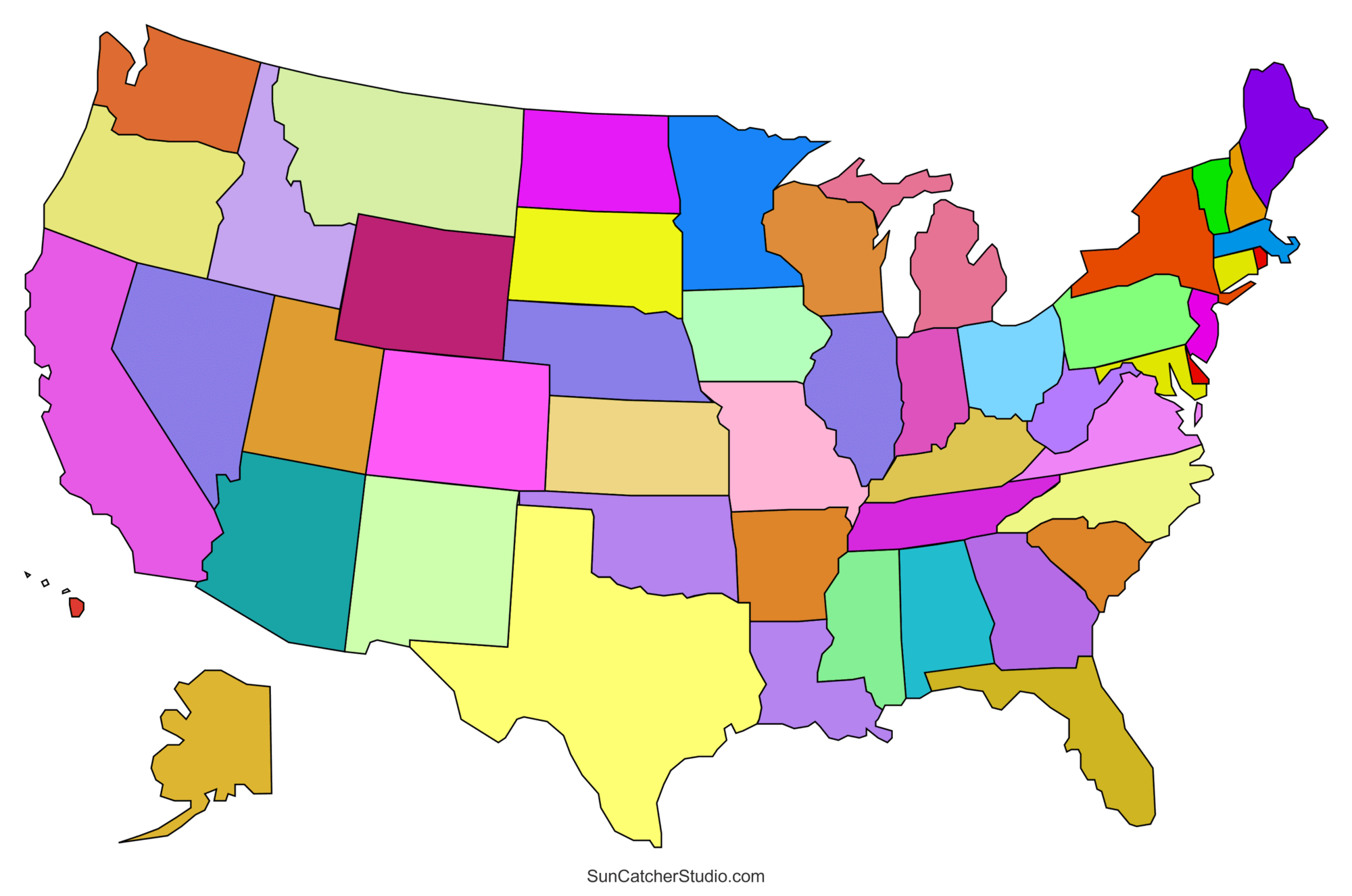
United States blank map color borders
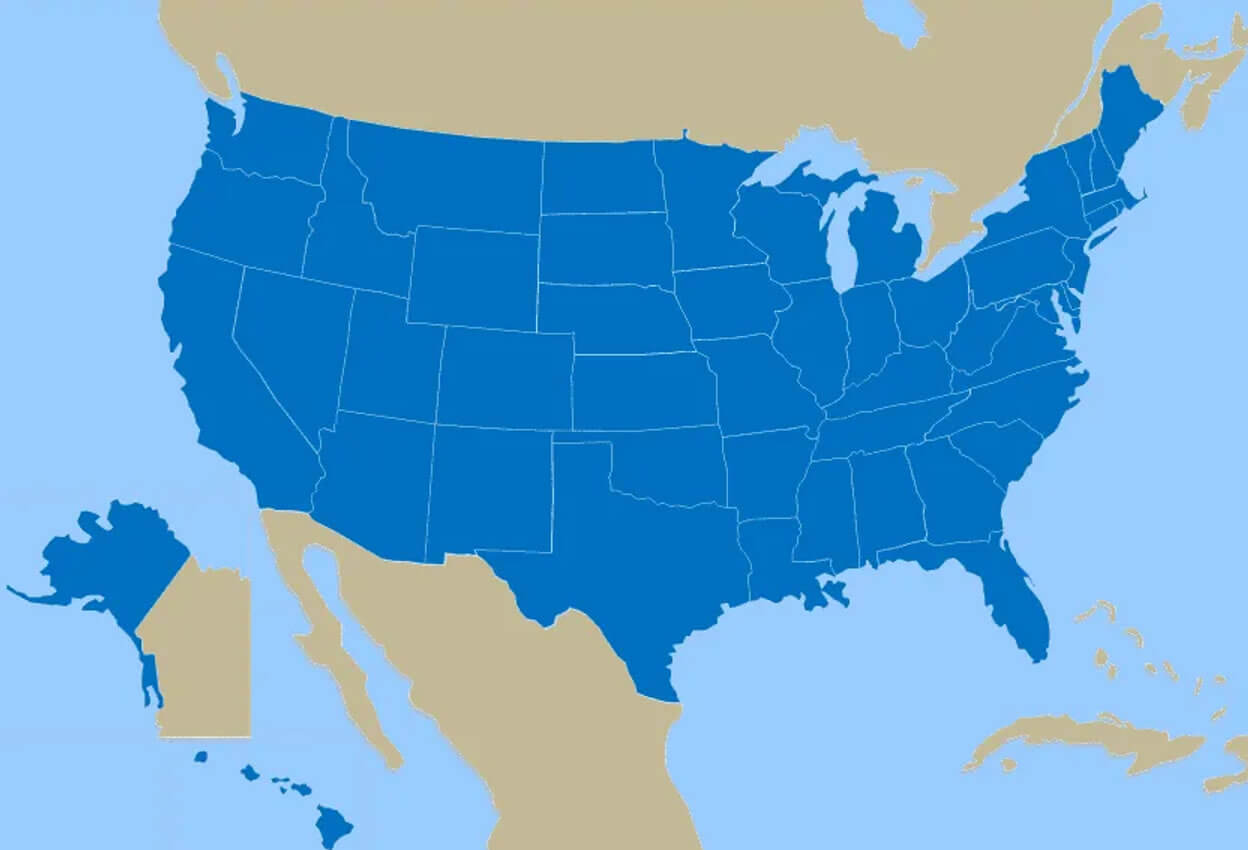
United States blank map with Alaska and Hawaii
United States blank map with California and New York
United States blank map with states outlined
Feel free to explore these pages as well: