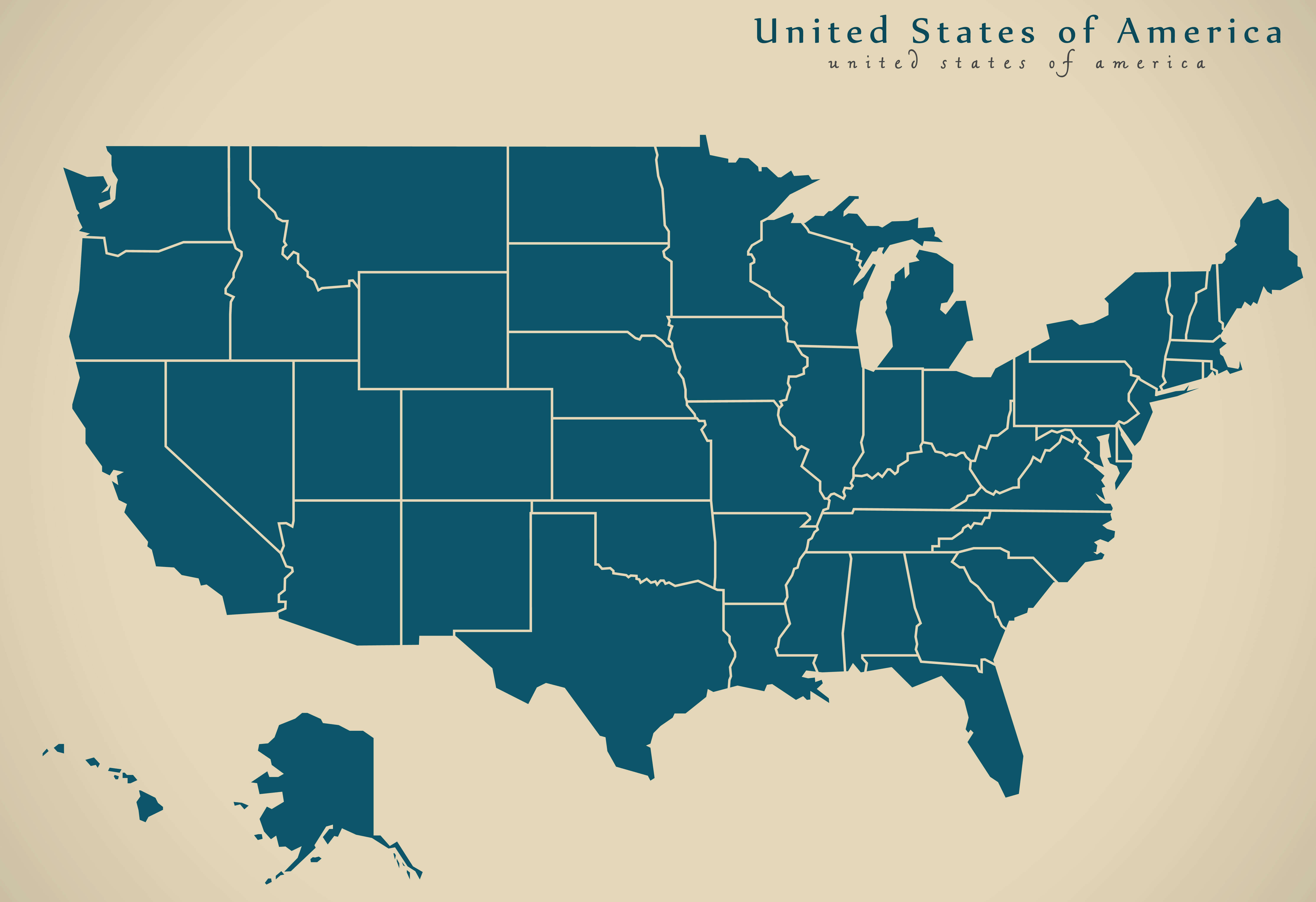
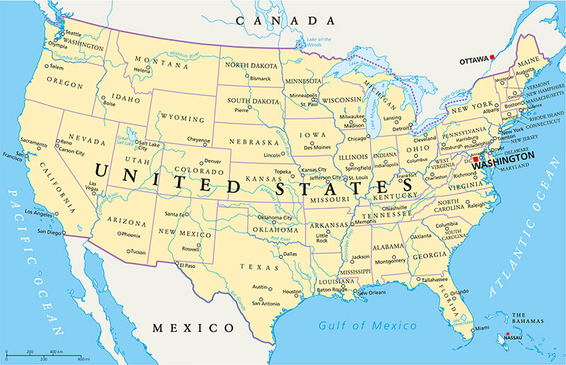
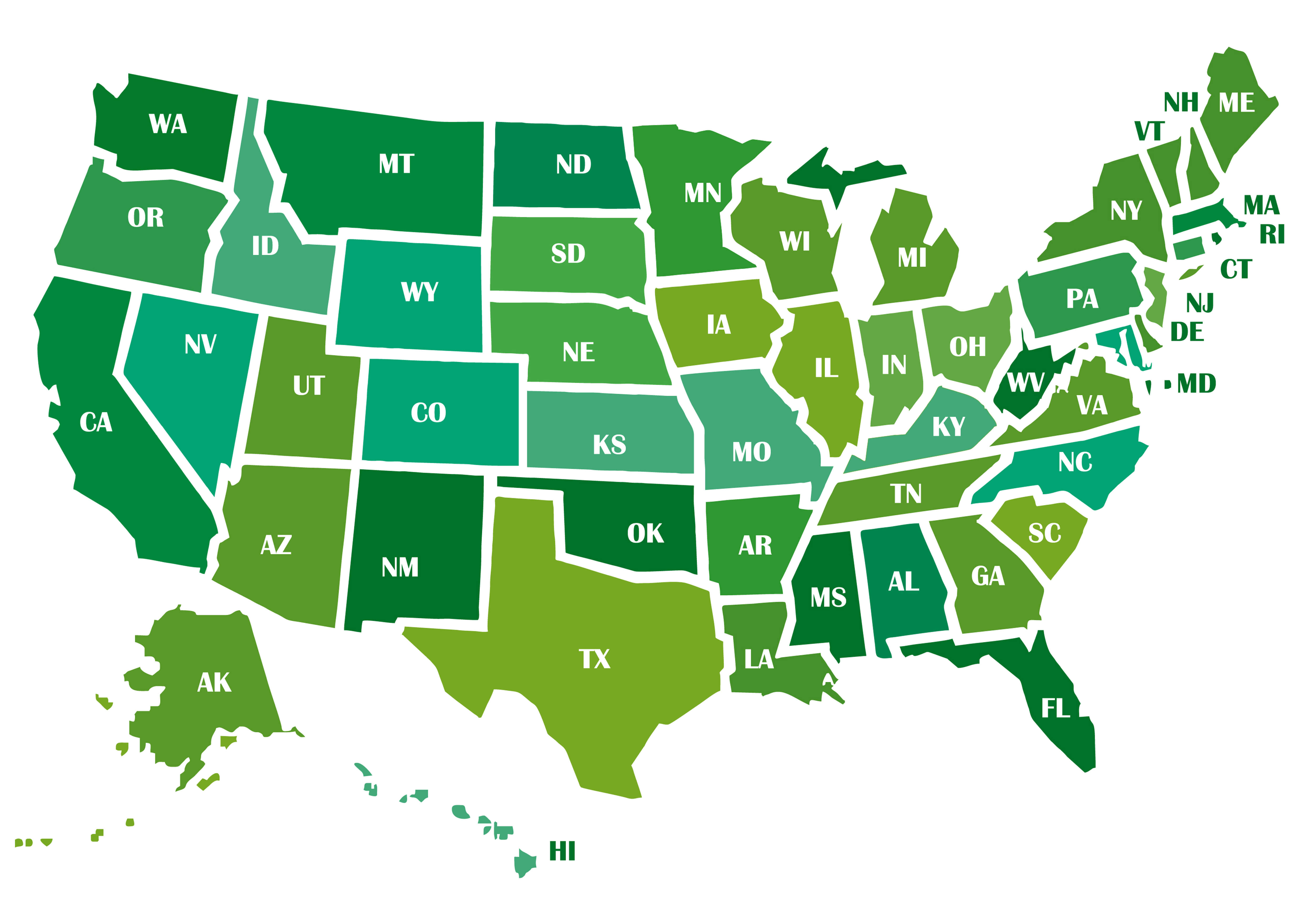
United States Map with States and Capitals
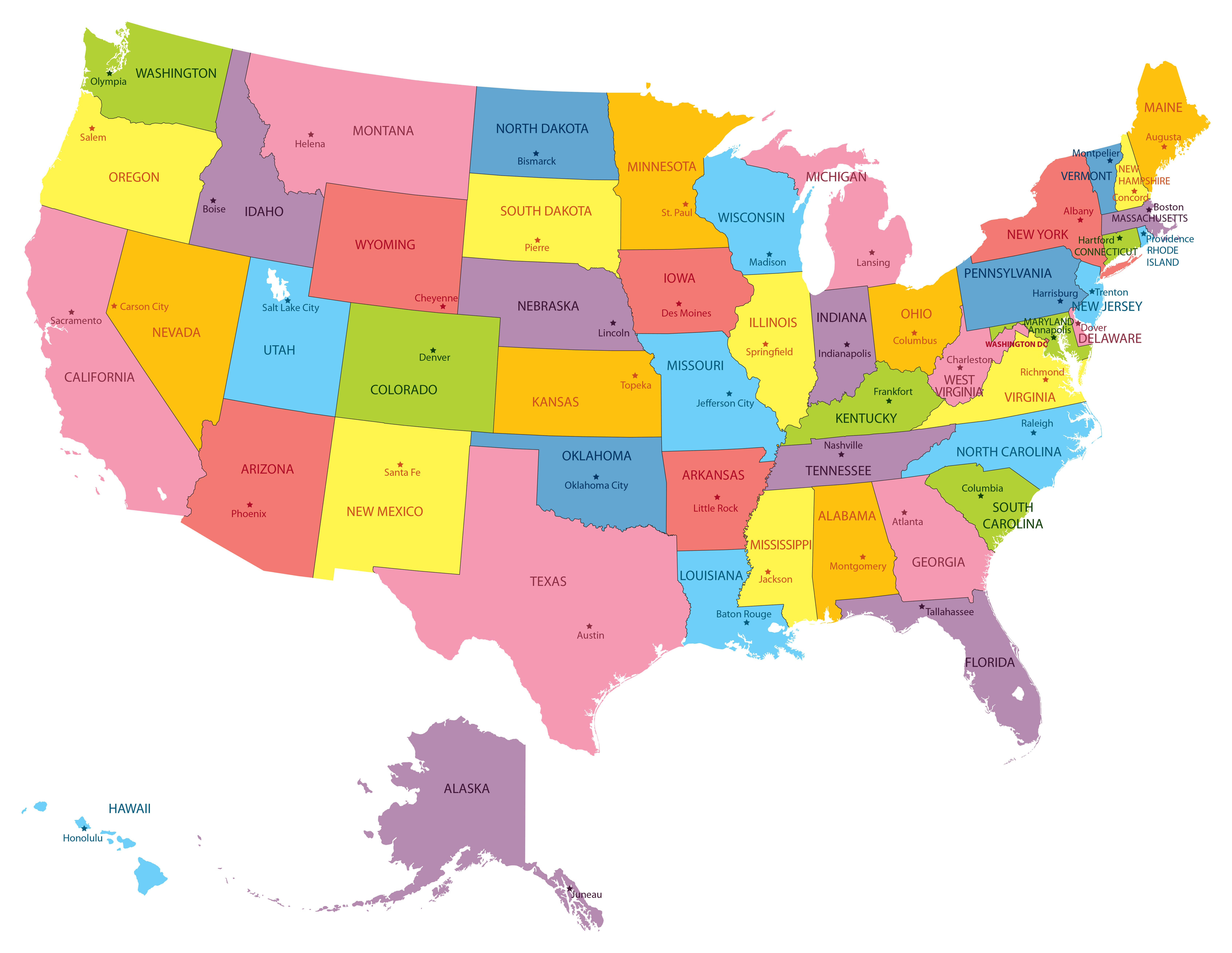
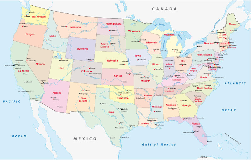 Map of the United States showing states, capitals, and borders.
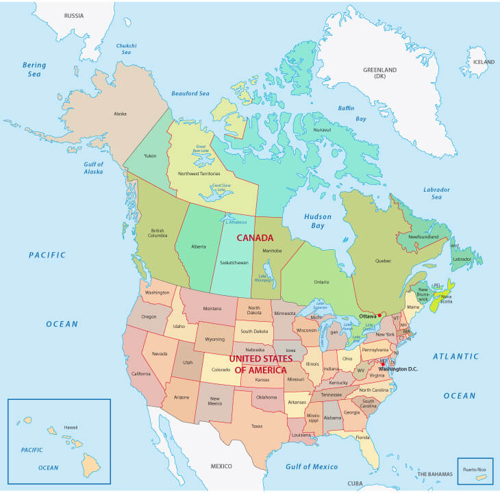
This detailed map of the United States displays all 50 states with their capitals, borders, and neighboring countries. It shows the Atlantic and Pacific coastlines, Great Lakes region, and Mexico–Canada boundaries, making it useful for learning U.S. geography and state locations.
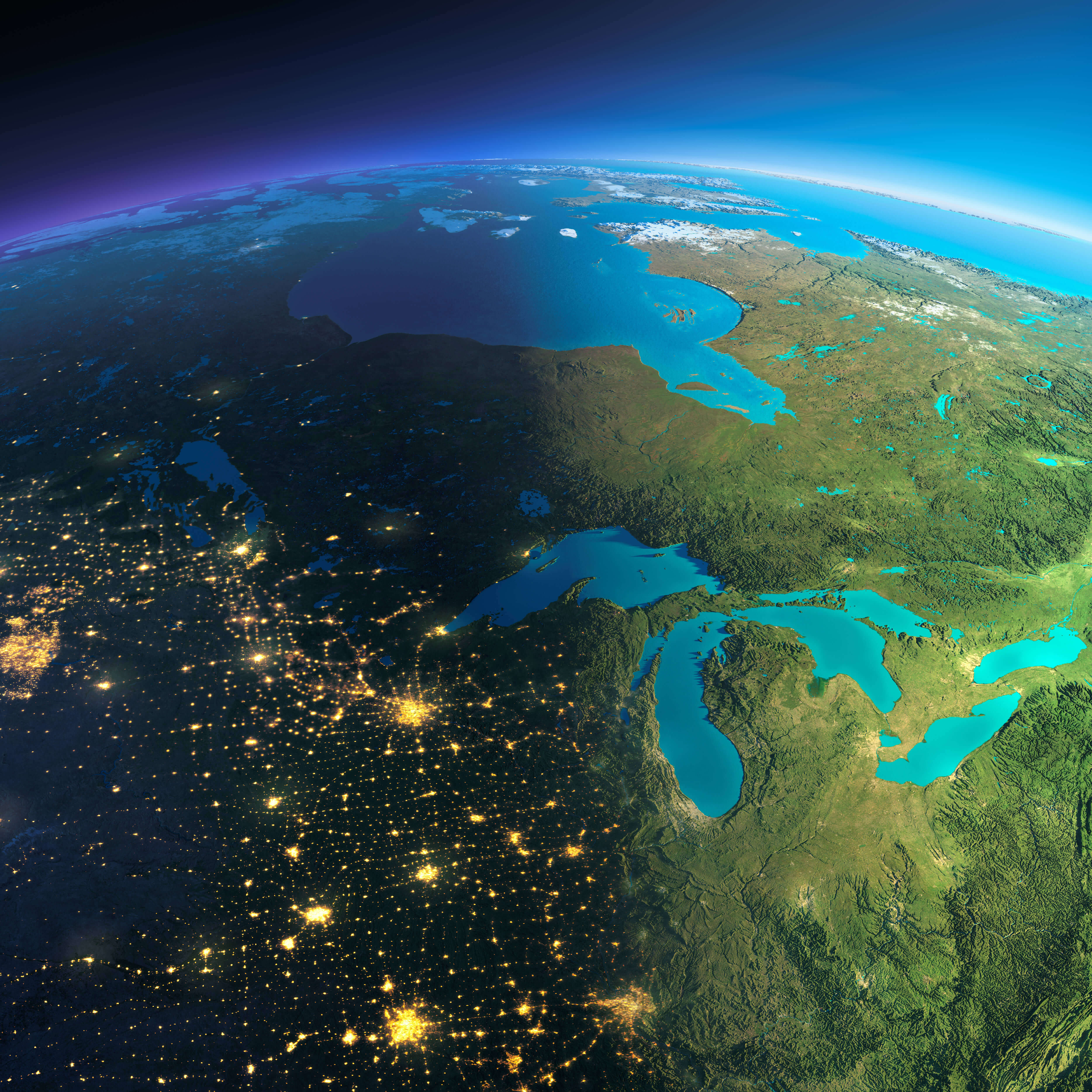
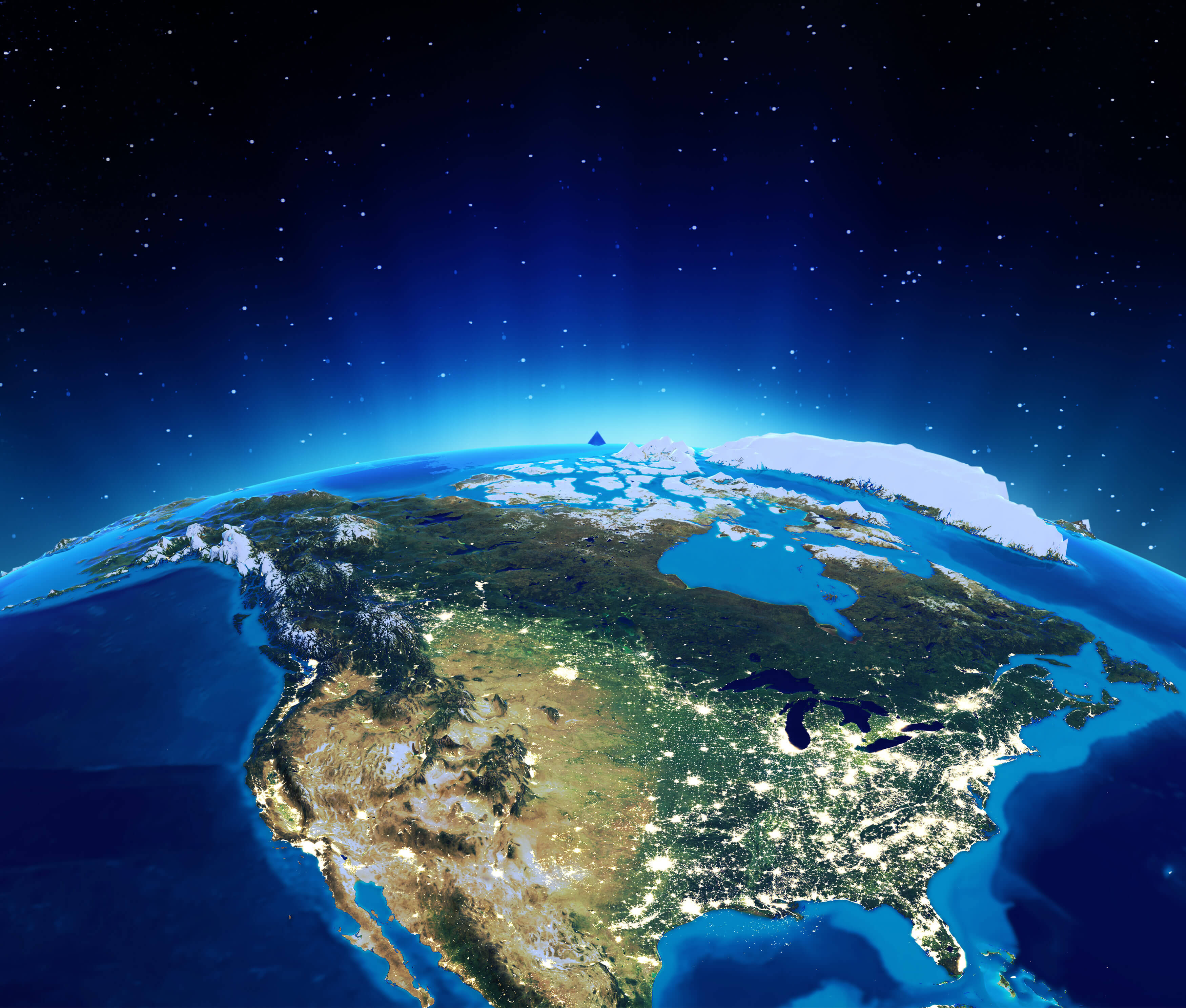
US satellite map in the night
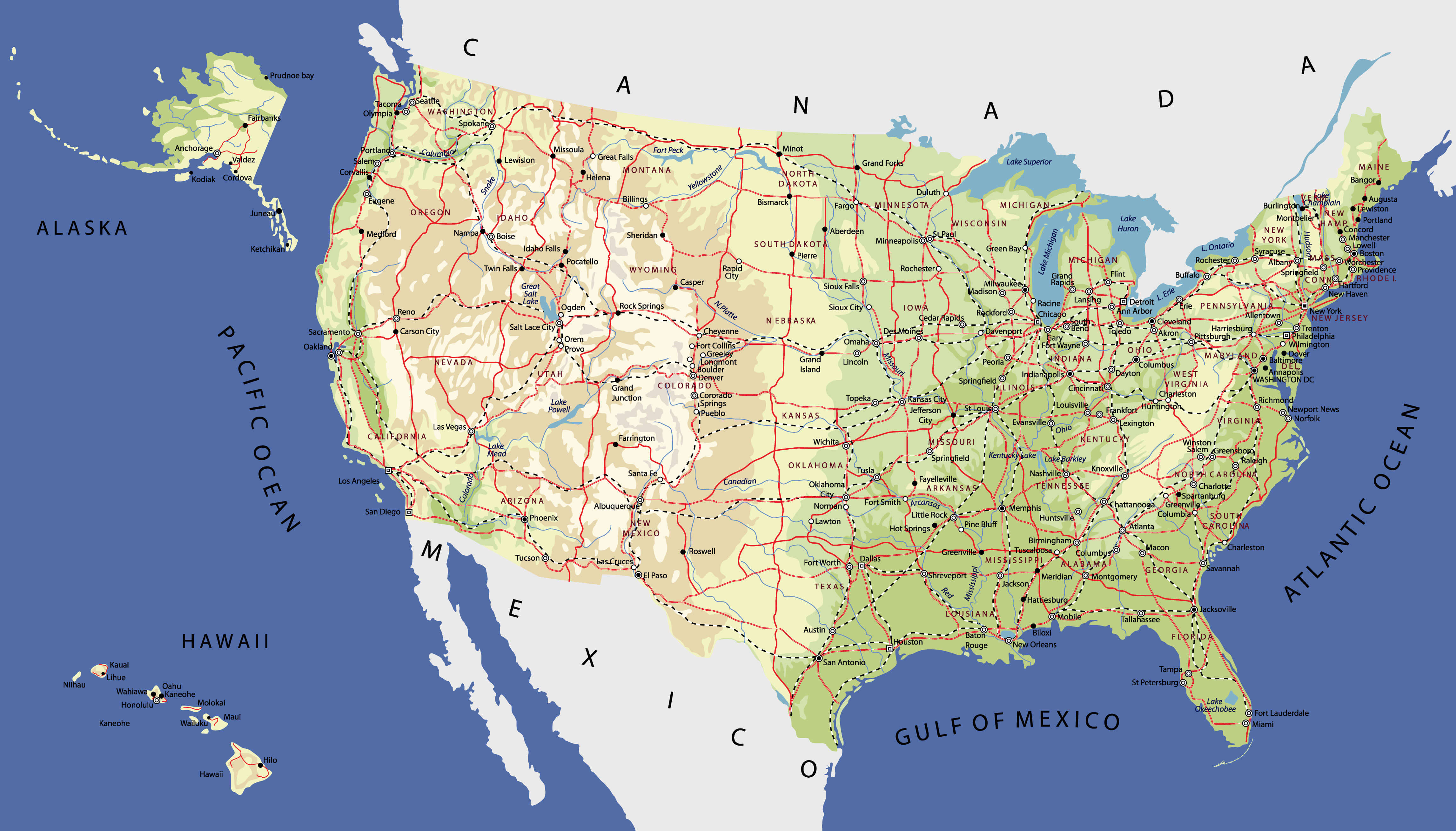
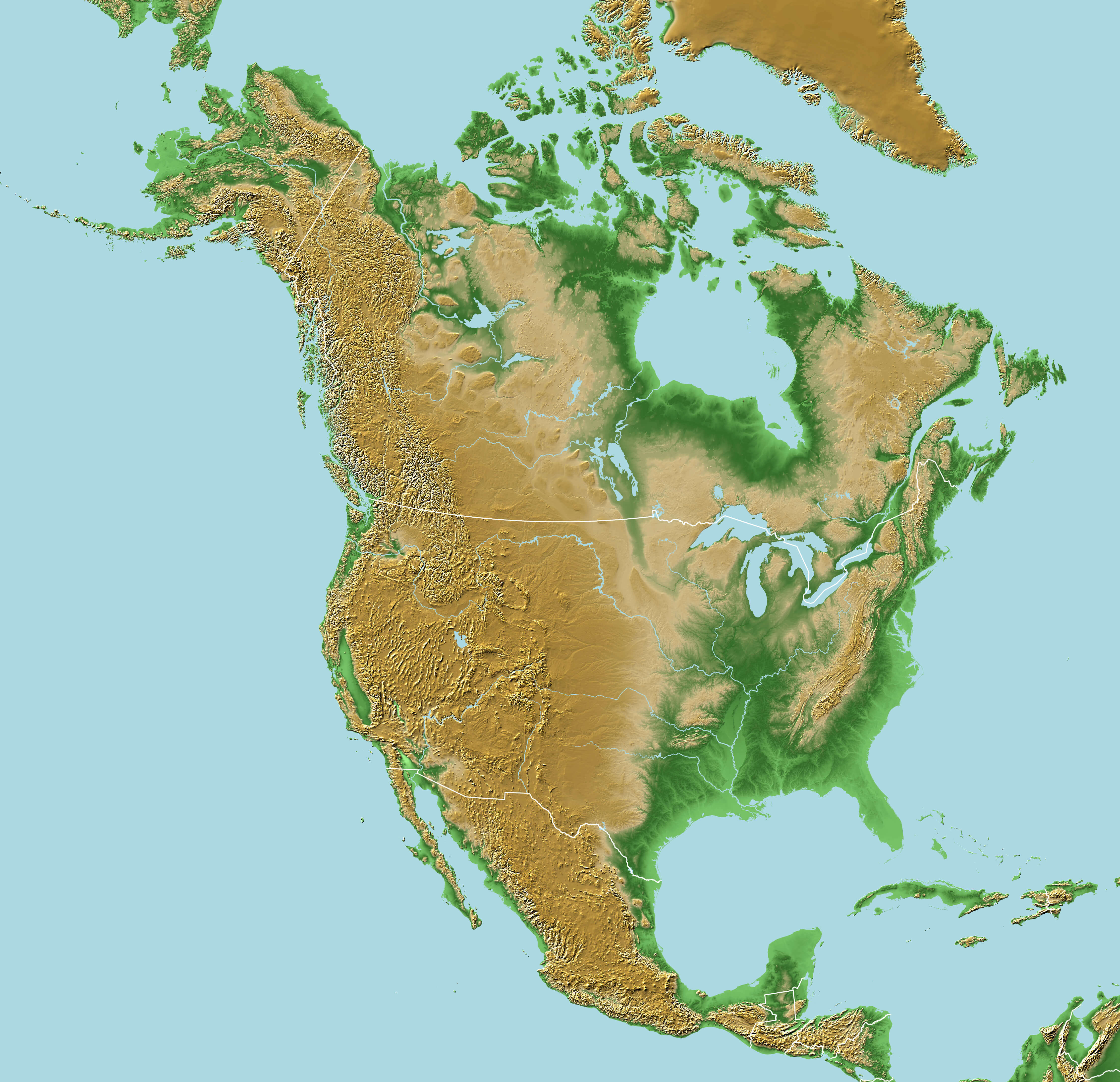
Physical Map of the United States with Mountains and Rivers
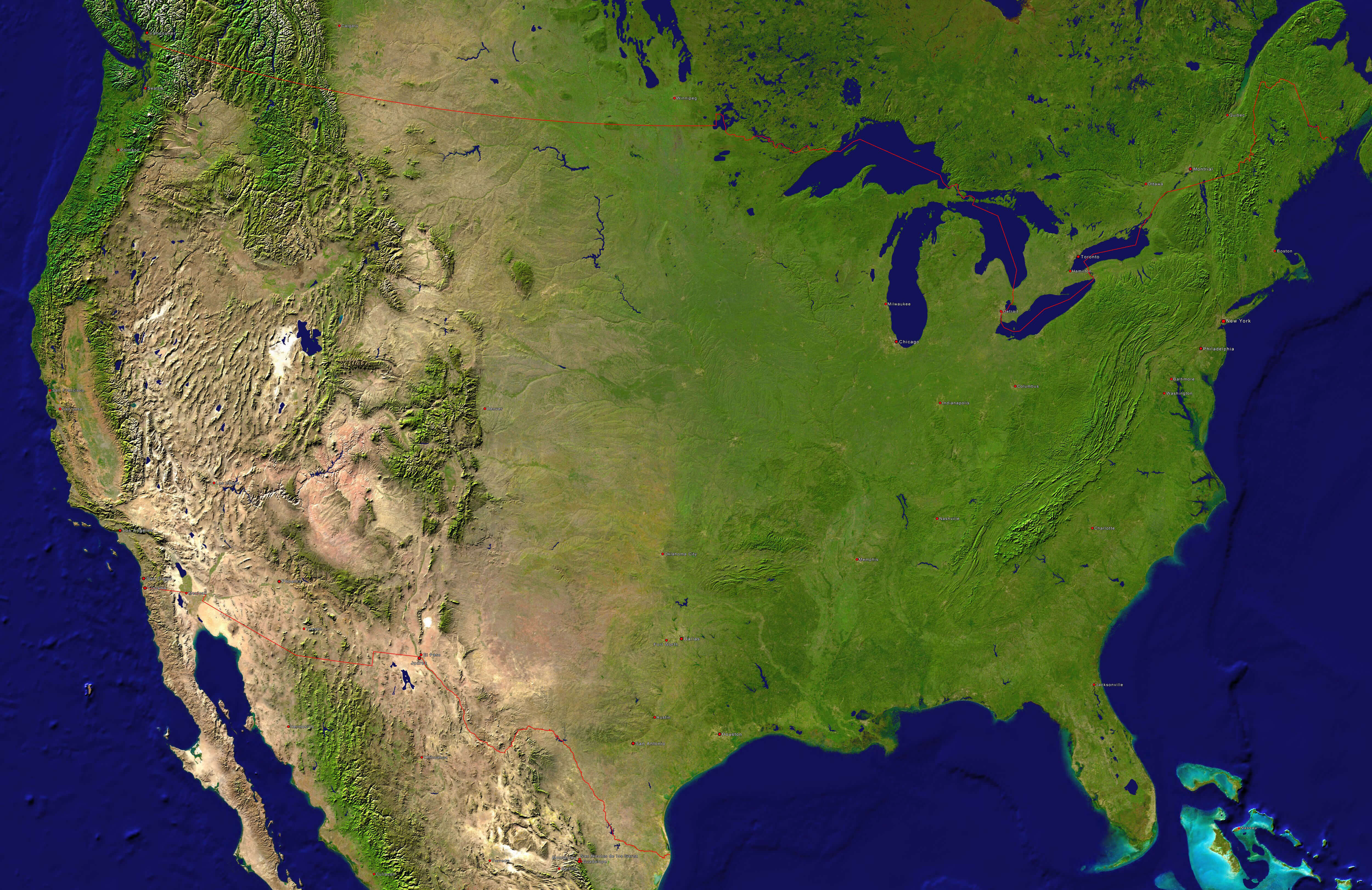
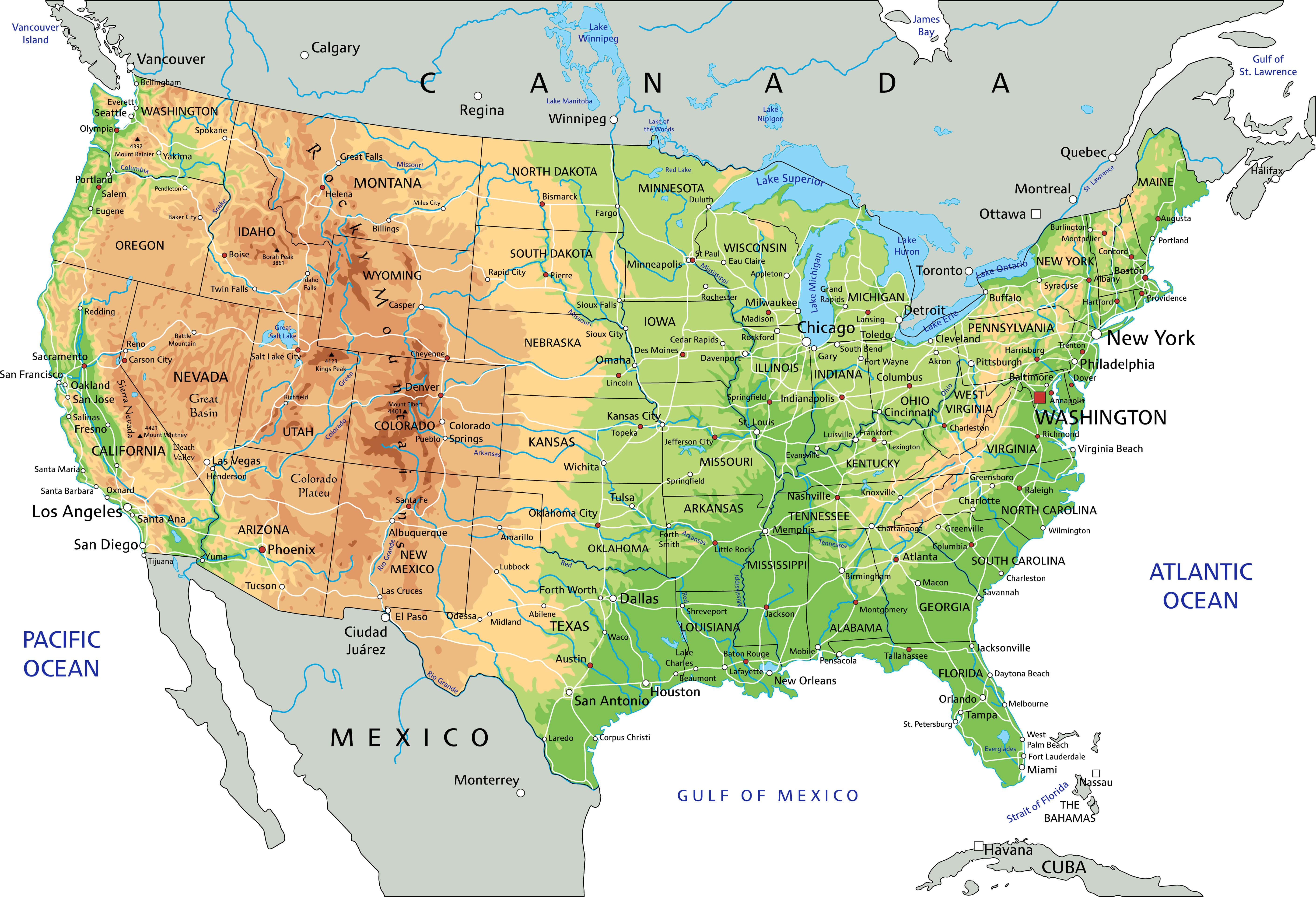 Physical map of the United States showing mountains, rivers, and plains.
This physical map of the United States highlights the country’s diverse landscapes, including mountain ranges like the Rockies and Appalachians, major rivers such as the Mississippi and Colorado, and wide plains across the Midwest. It also shows coastlines along the Atlantic, Pacific, and Gulf of Mexico.
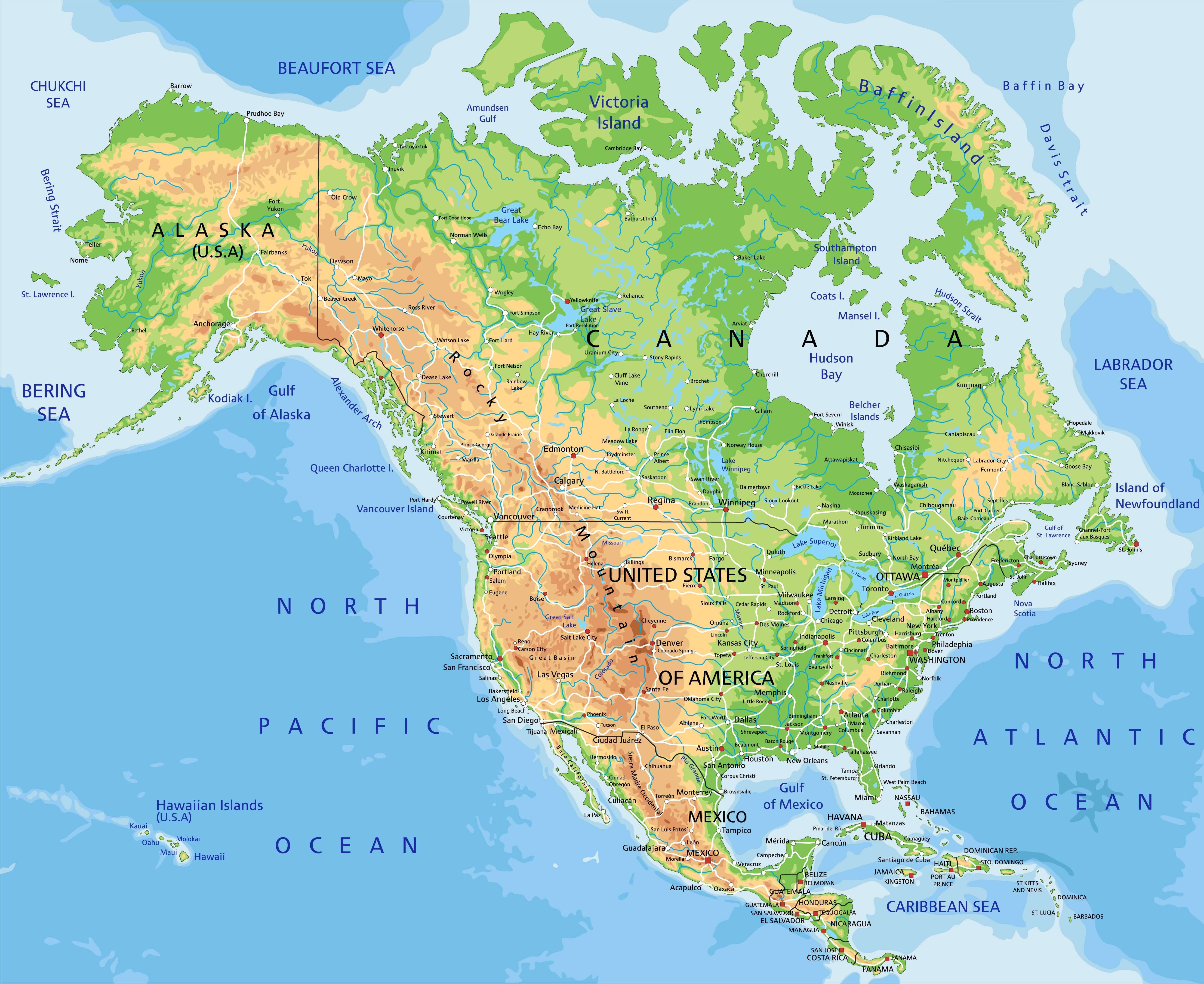
US state map with Canada and Mexico border
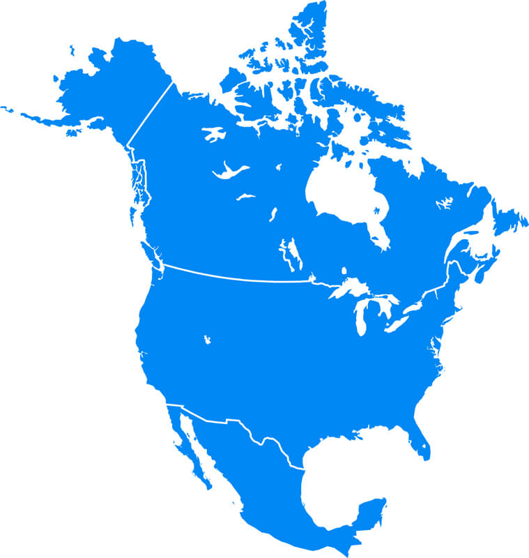
North America and US blank map
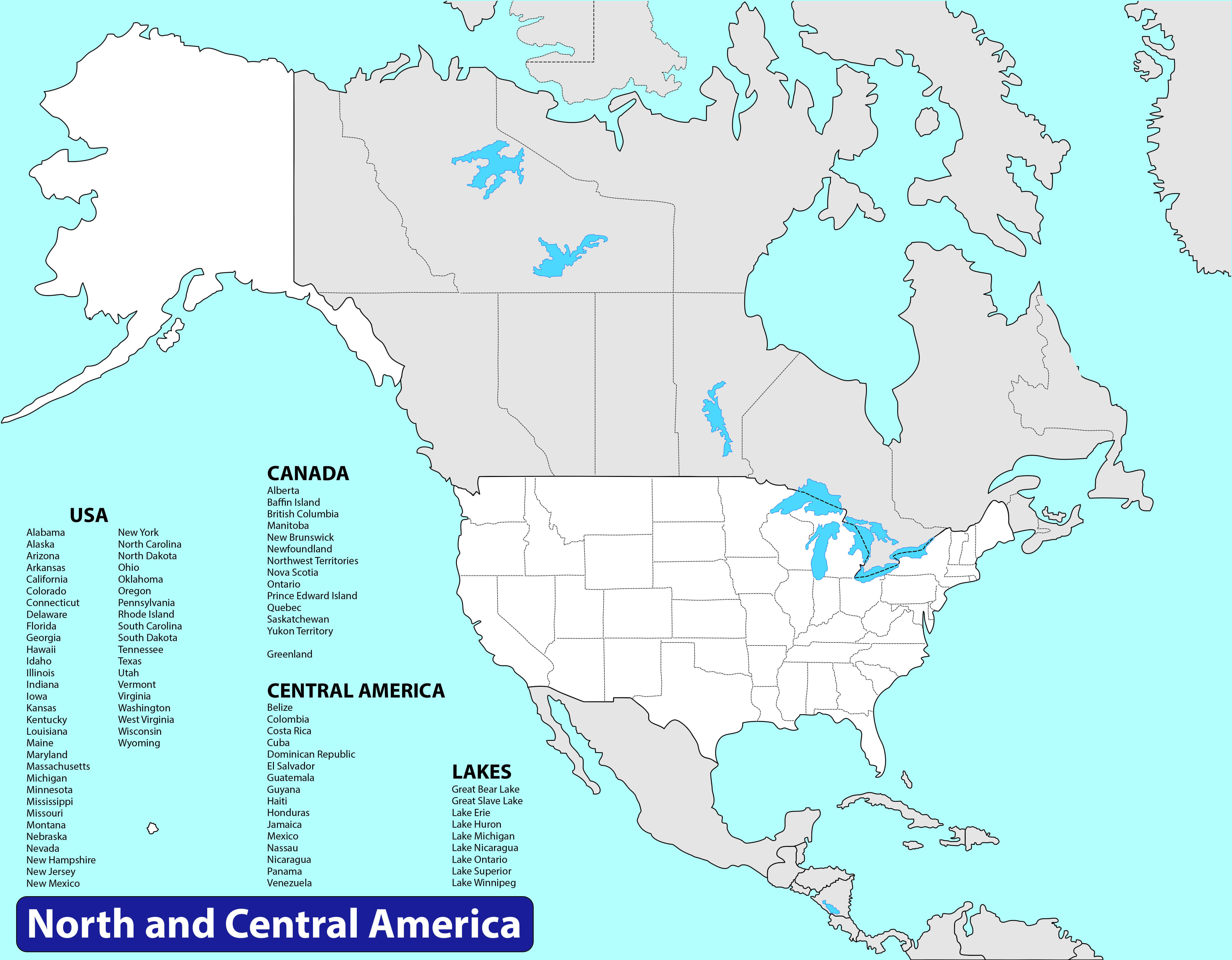
North America and US map with central America
North America and US map
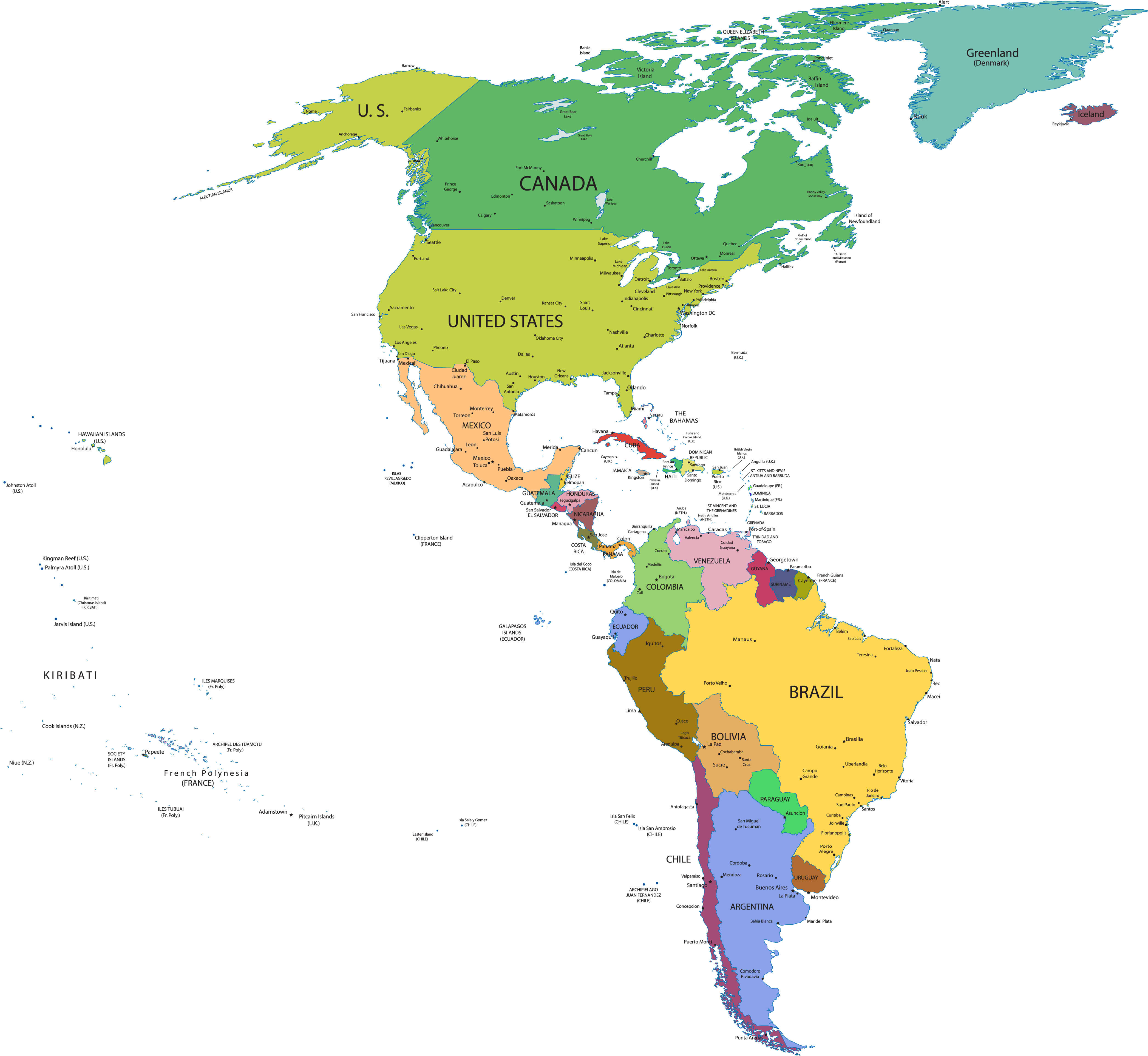
North and South America map with US
Blank physical map of The US
States map of The US
US satellite map in the night
US state map with Canada and Mexico border
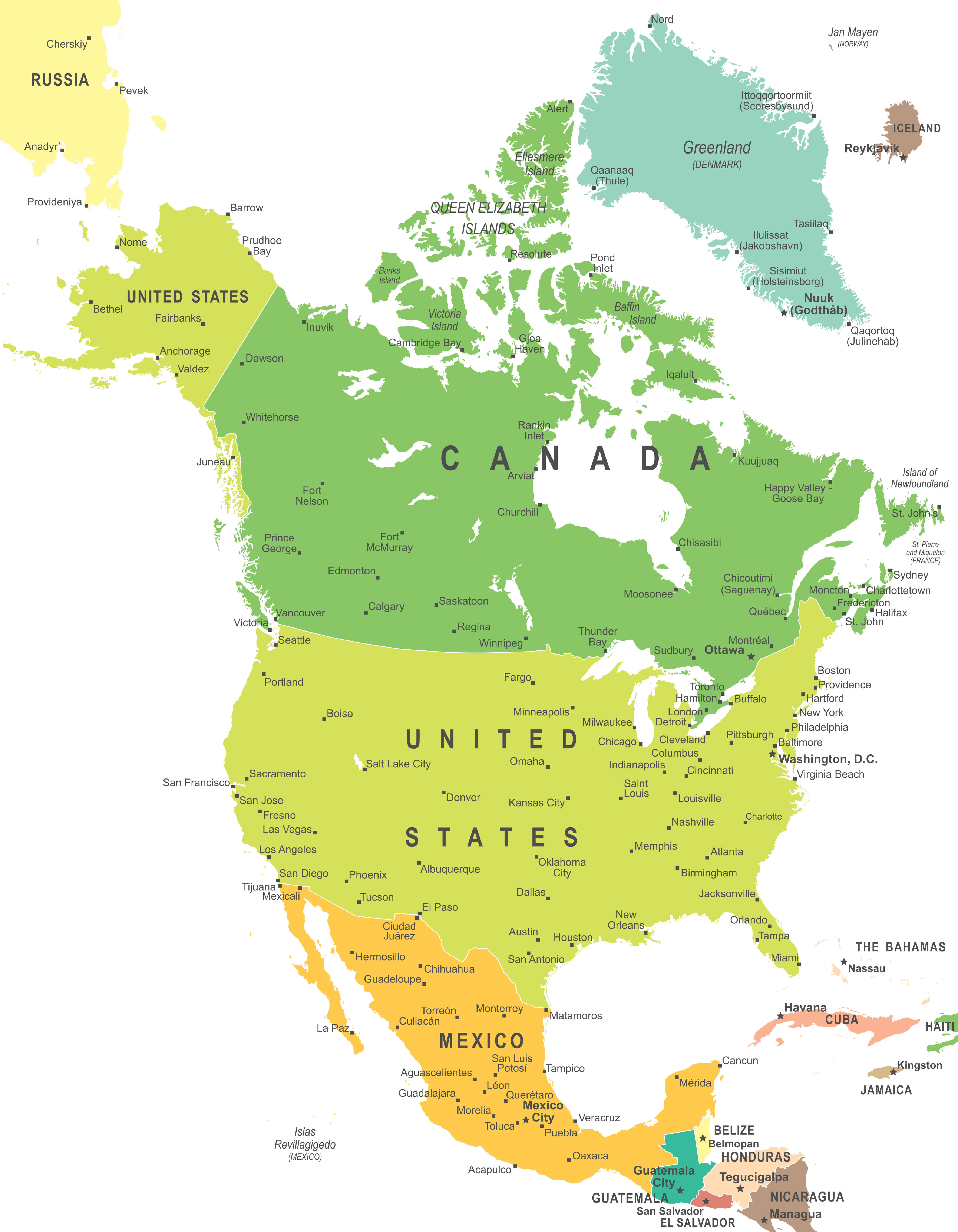
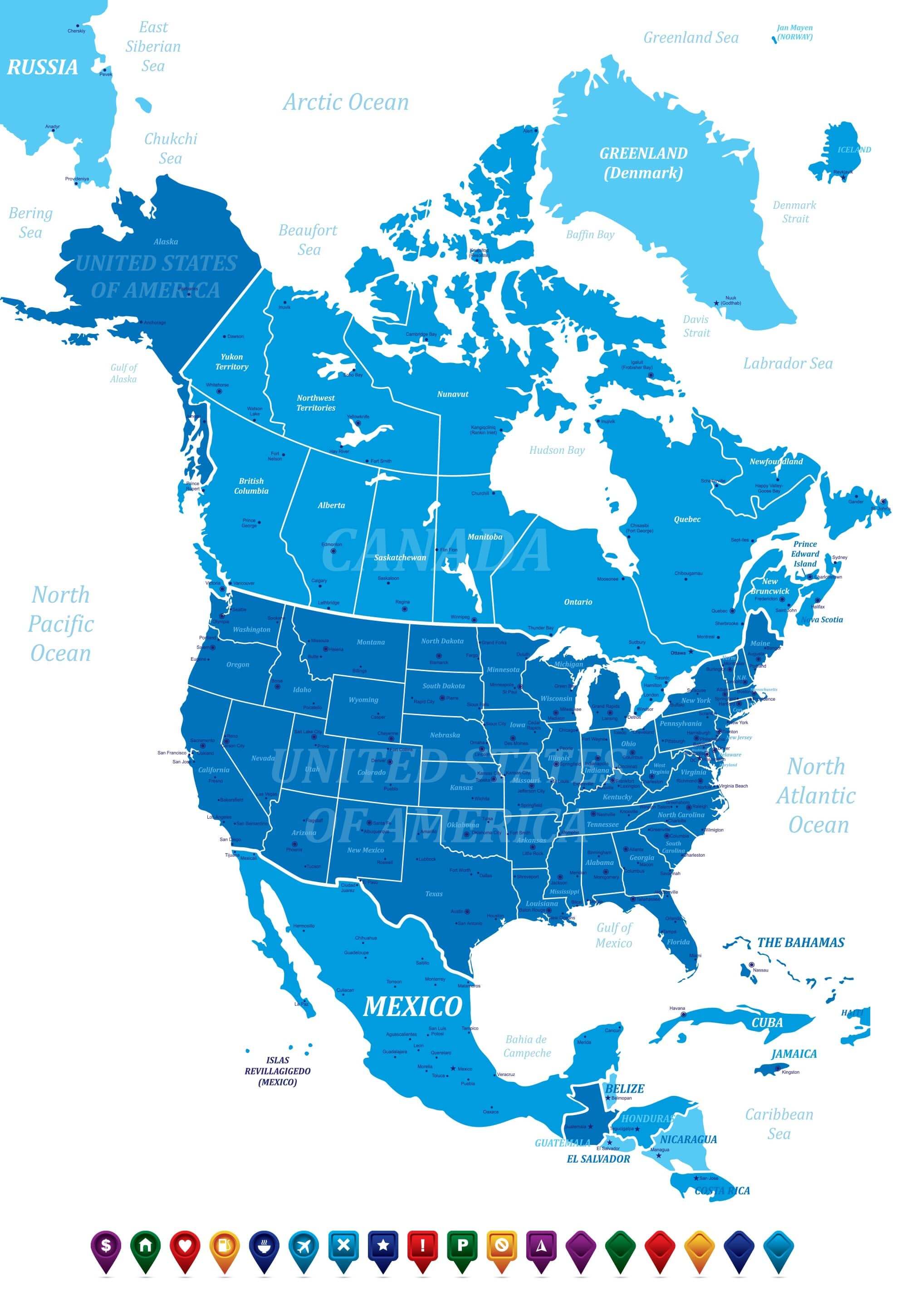
The US and North America political map
The US and World map
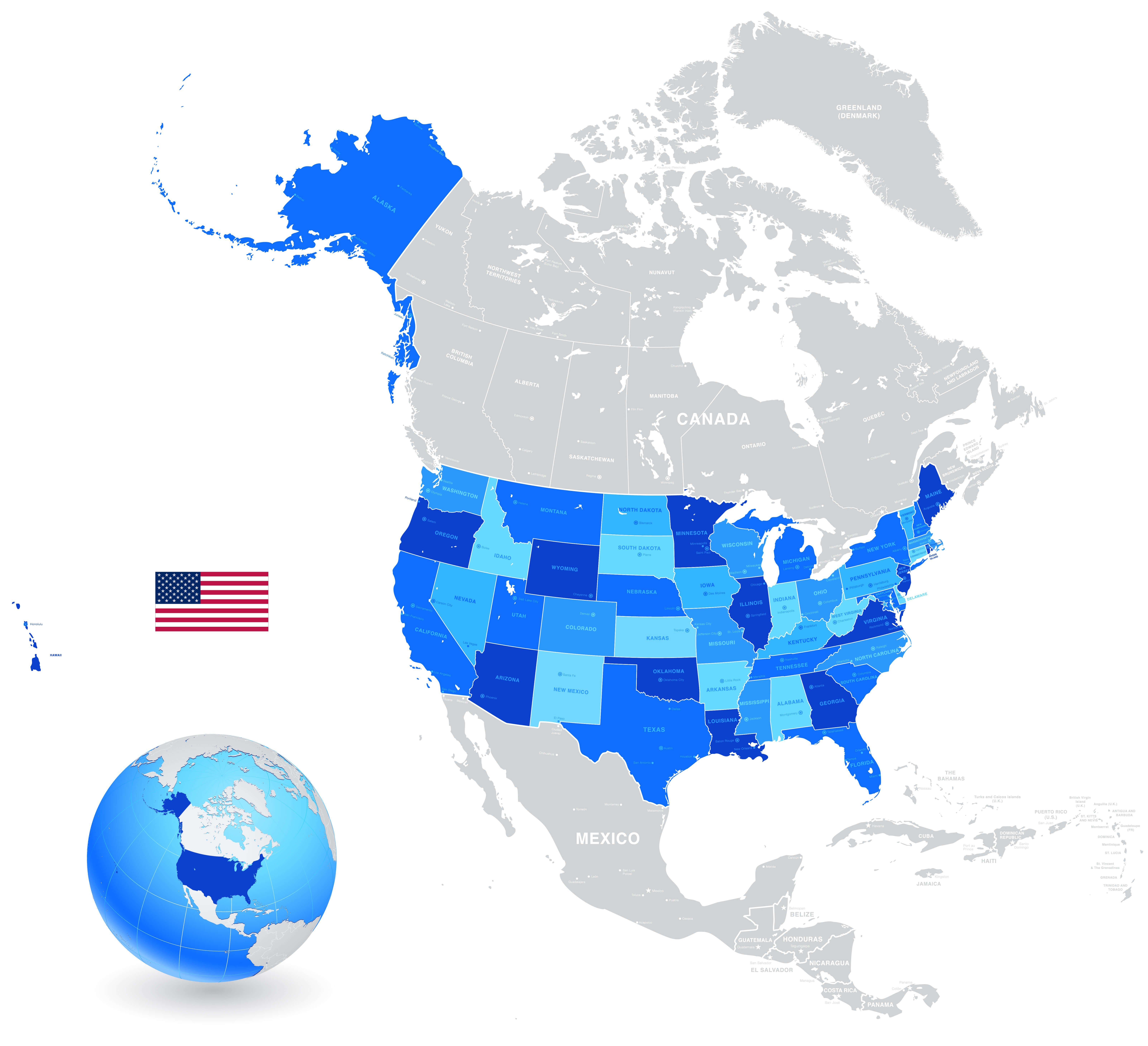
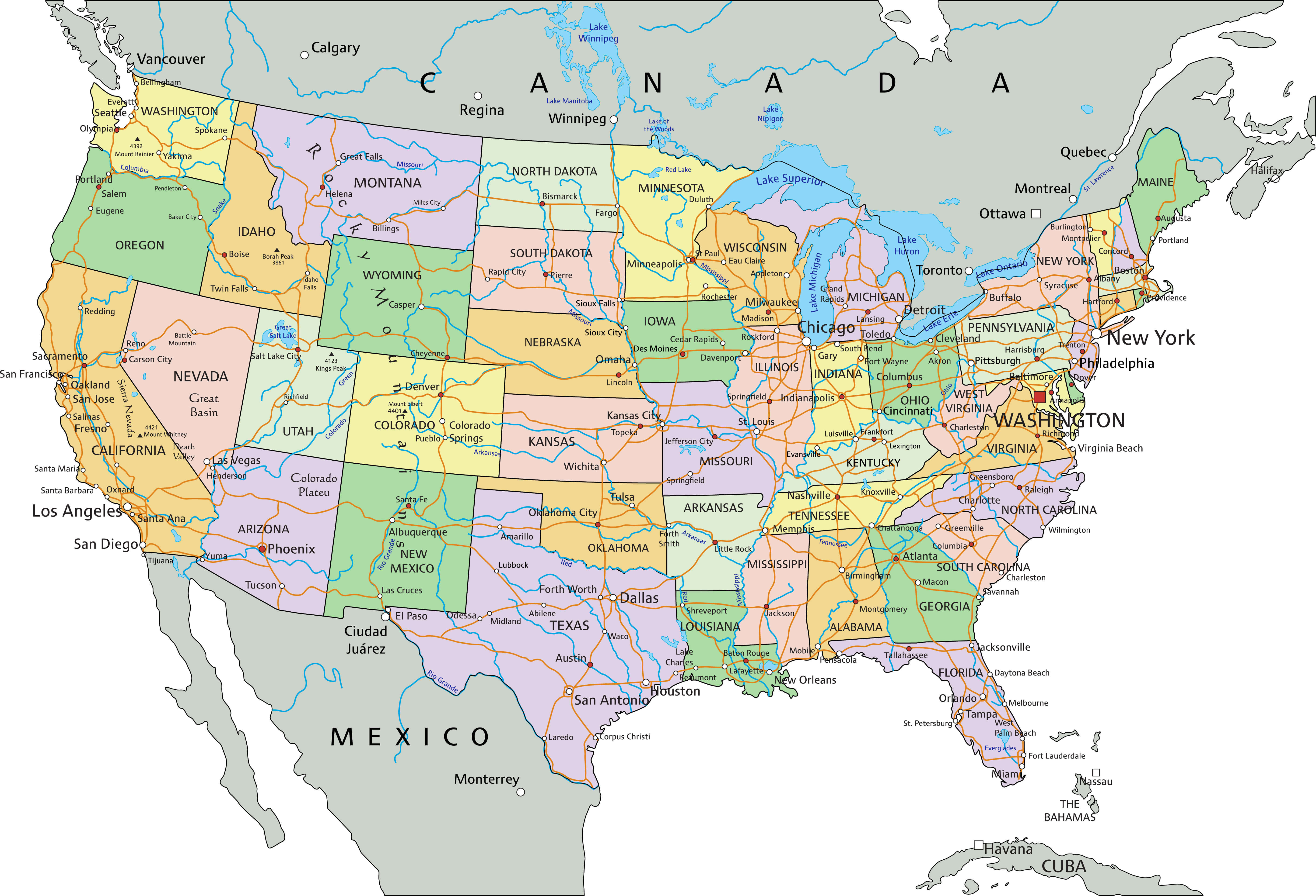
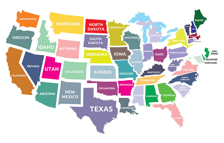
The US colorful map with states
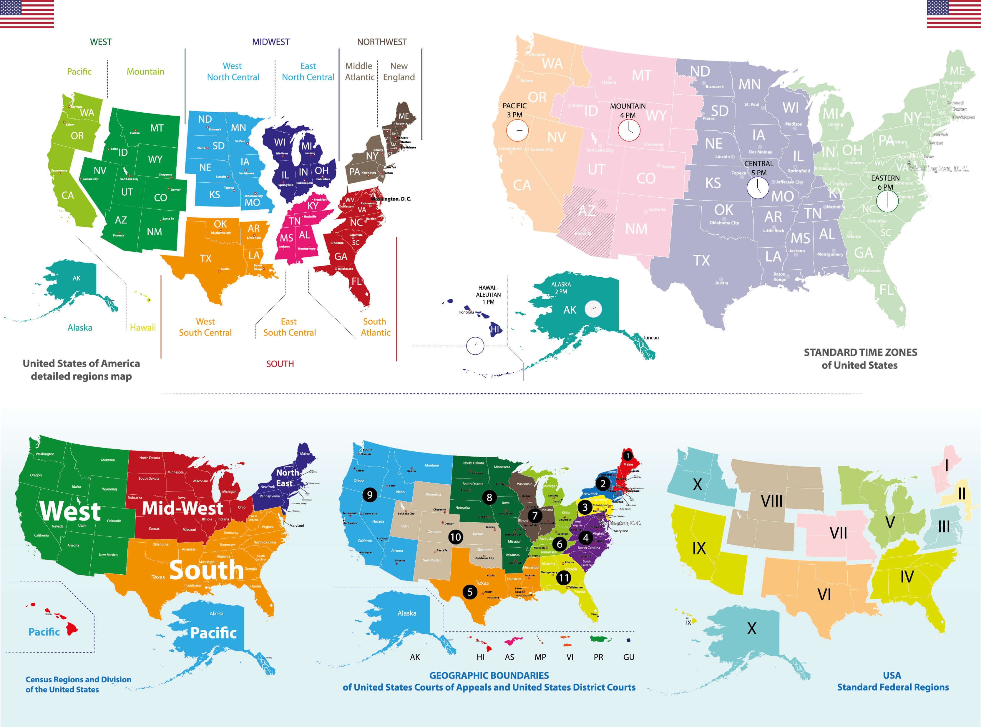
US 4 different time zones map
US and Canada map
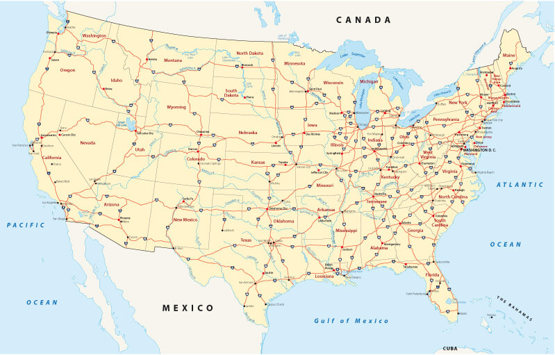
US road map
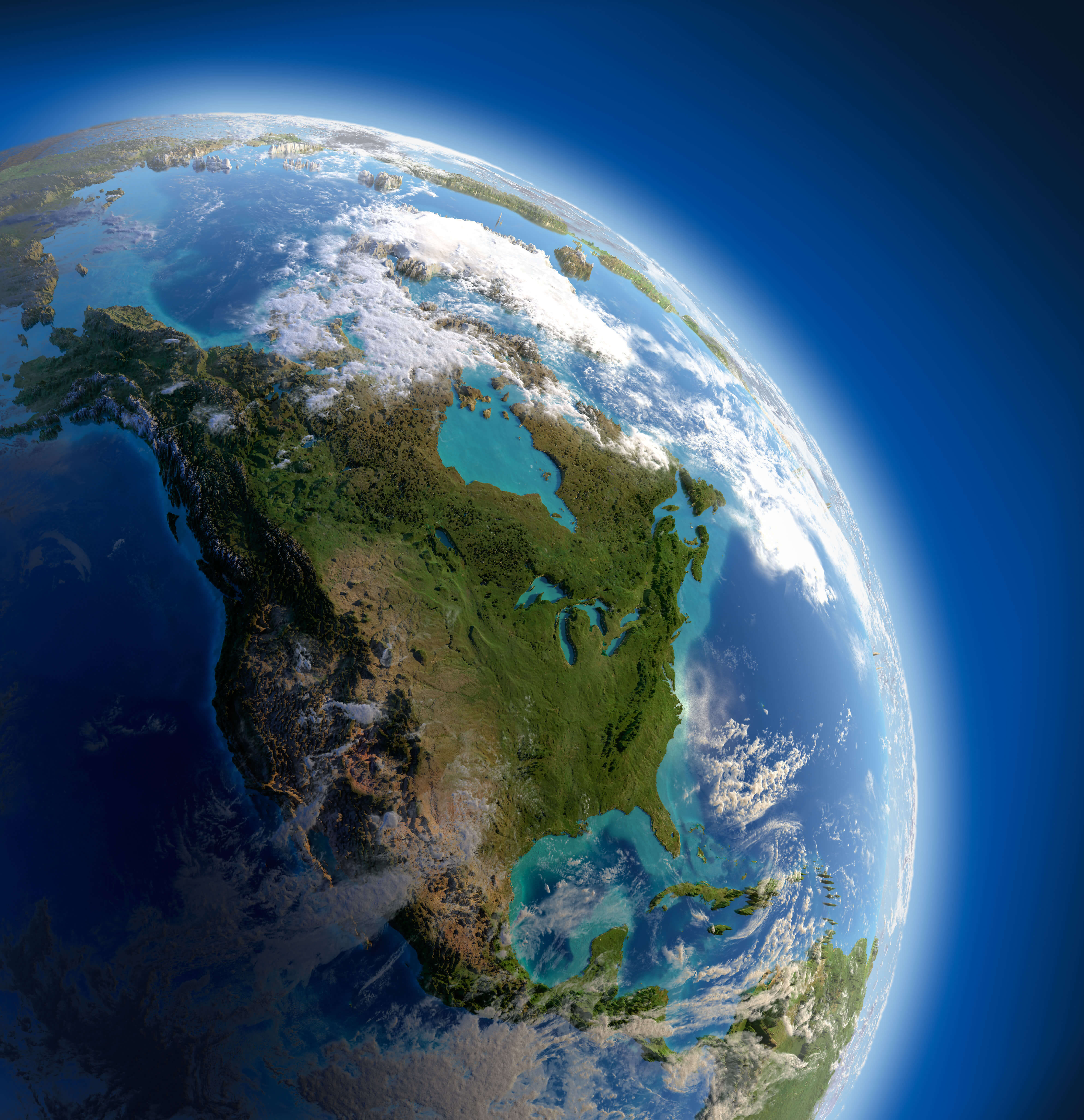
US satellite map from space
US and Canada satellite image
US blank map
US Canada and Mexico elevation map
US colorful map with states
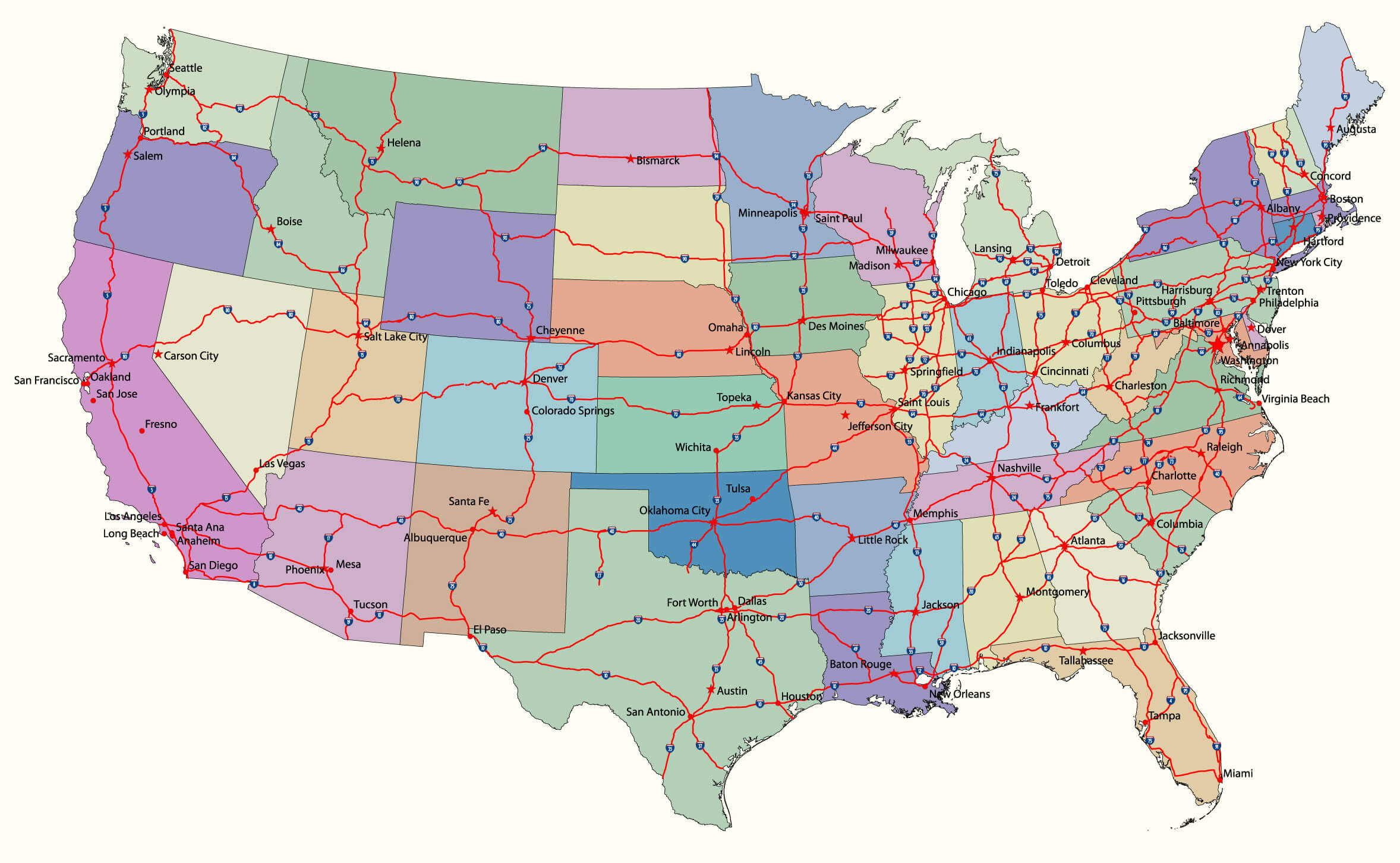
US interstate map
US location map
US major cities and rivers map
US physical map with North America
USA satellite map

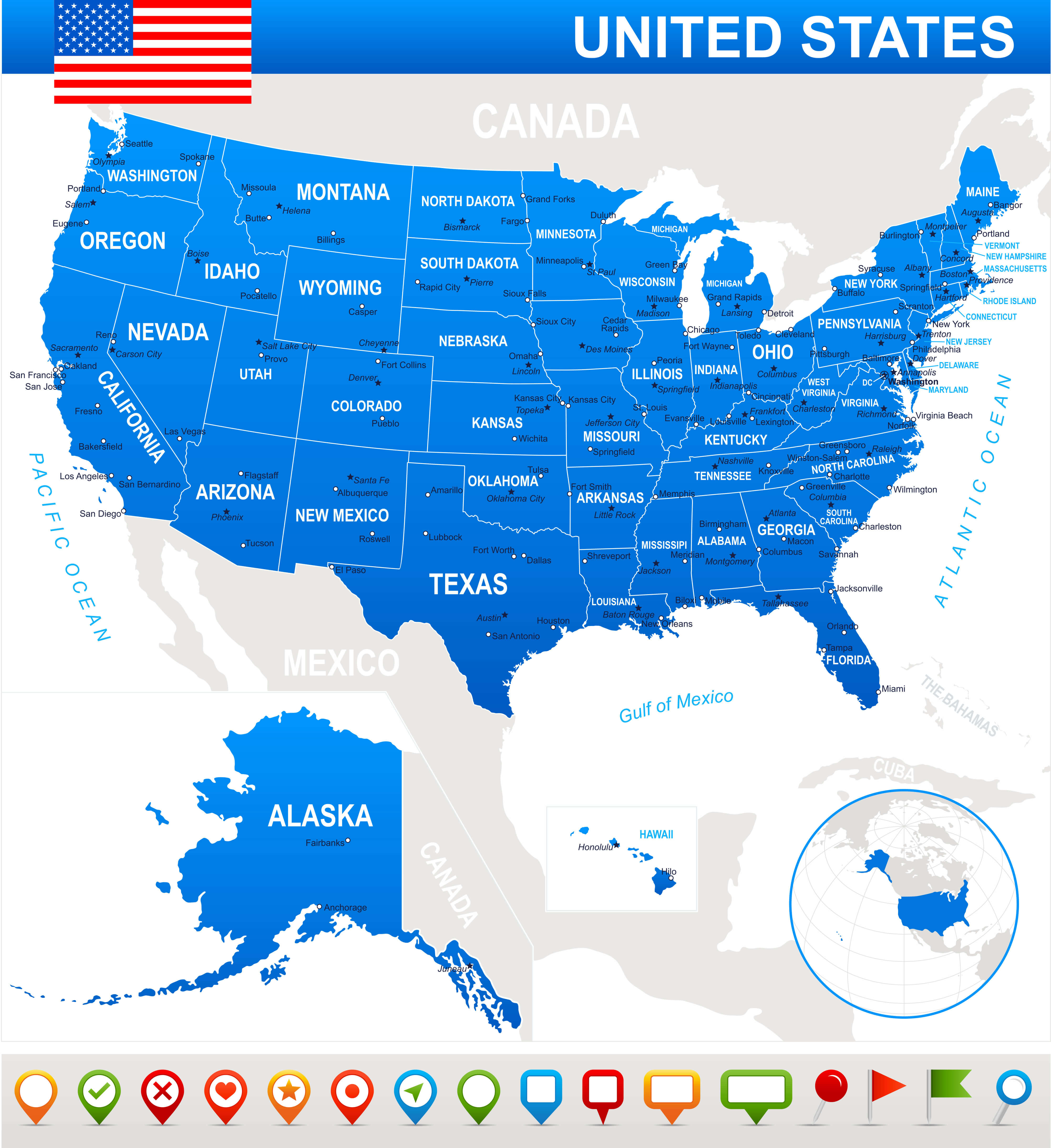
USA state map
Feel free to explore these pages as well: