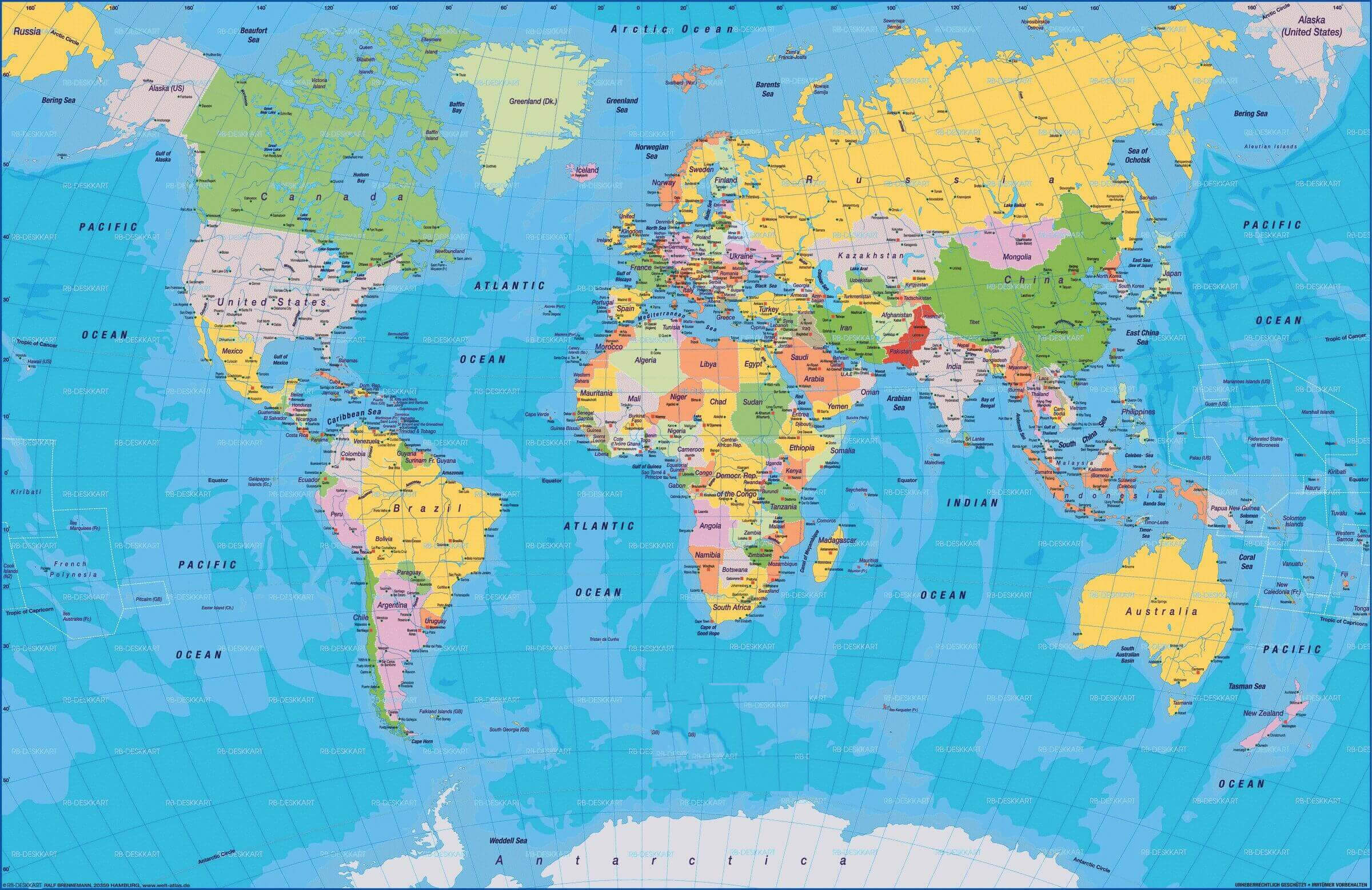
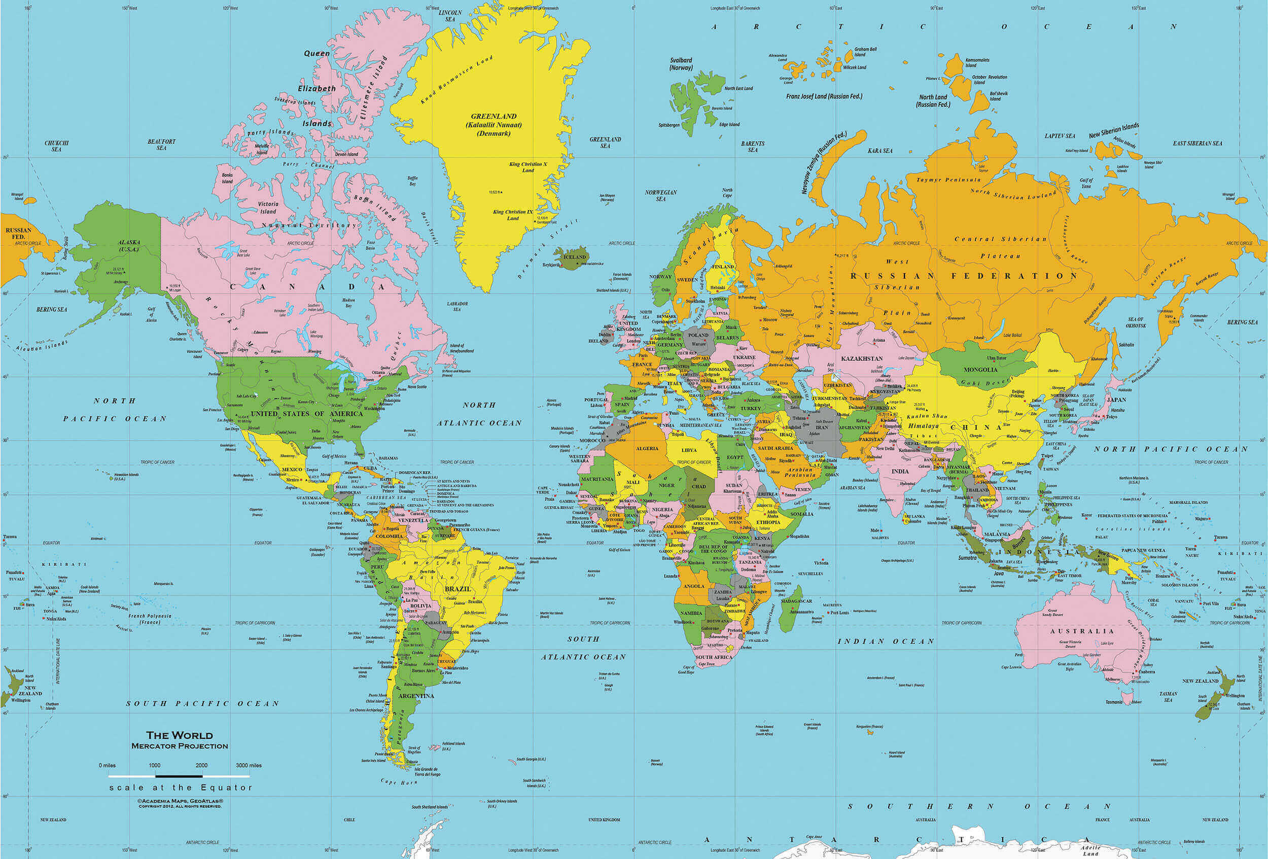
Countries and Cities Maps of the World
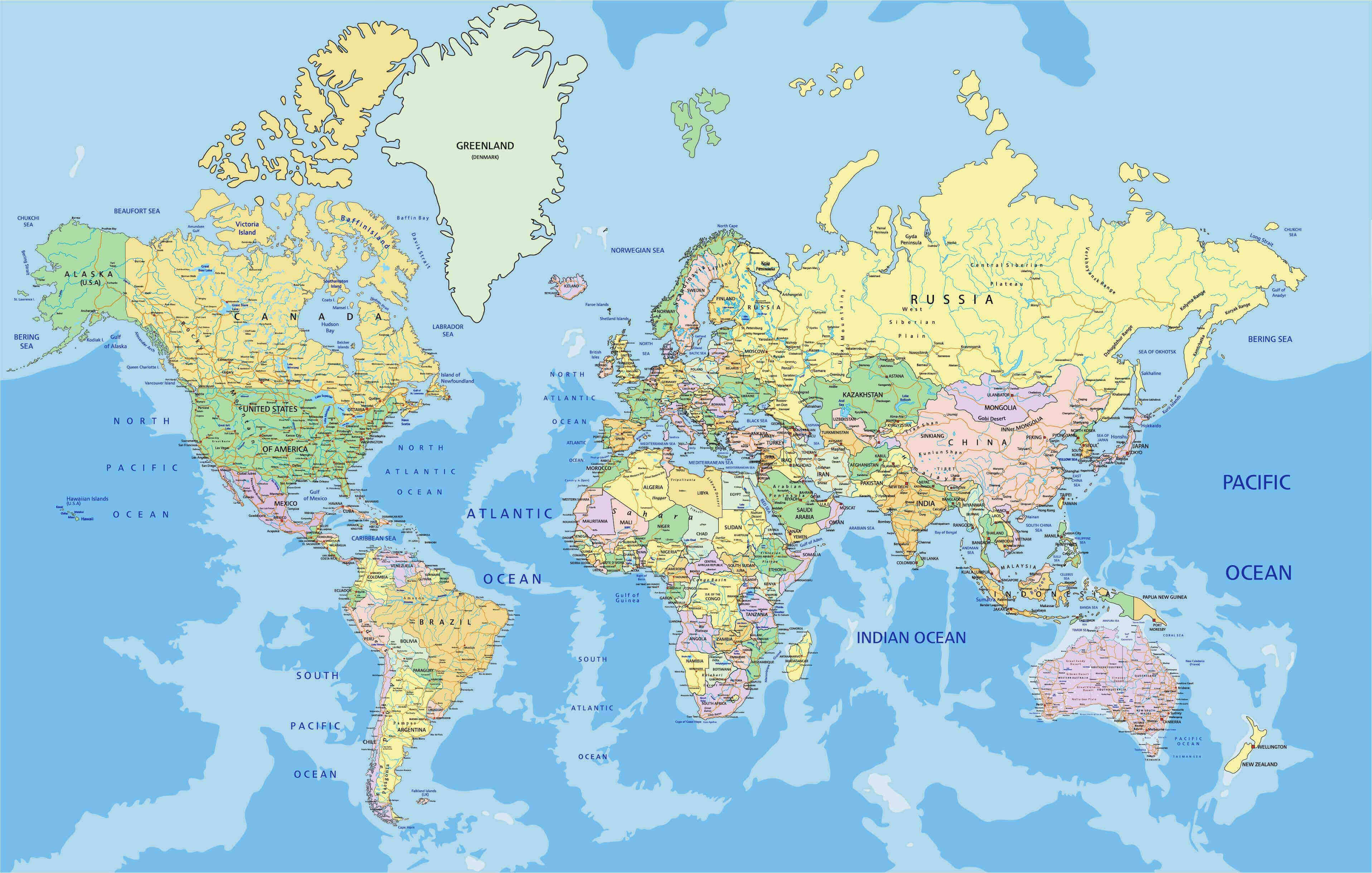
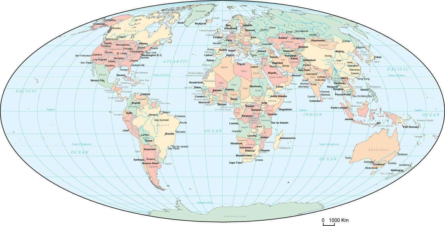
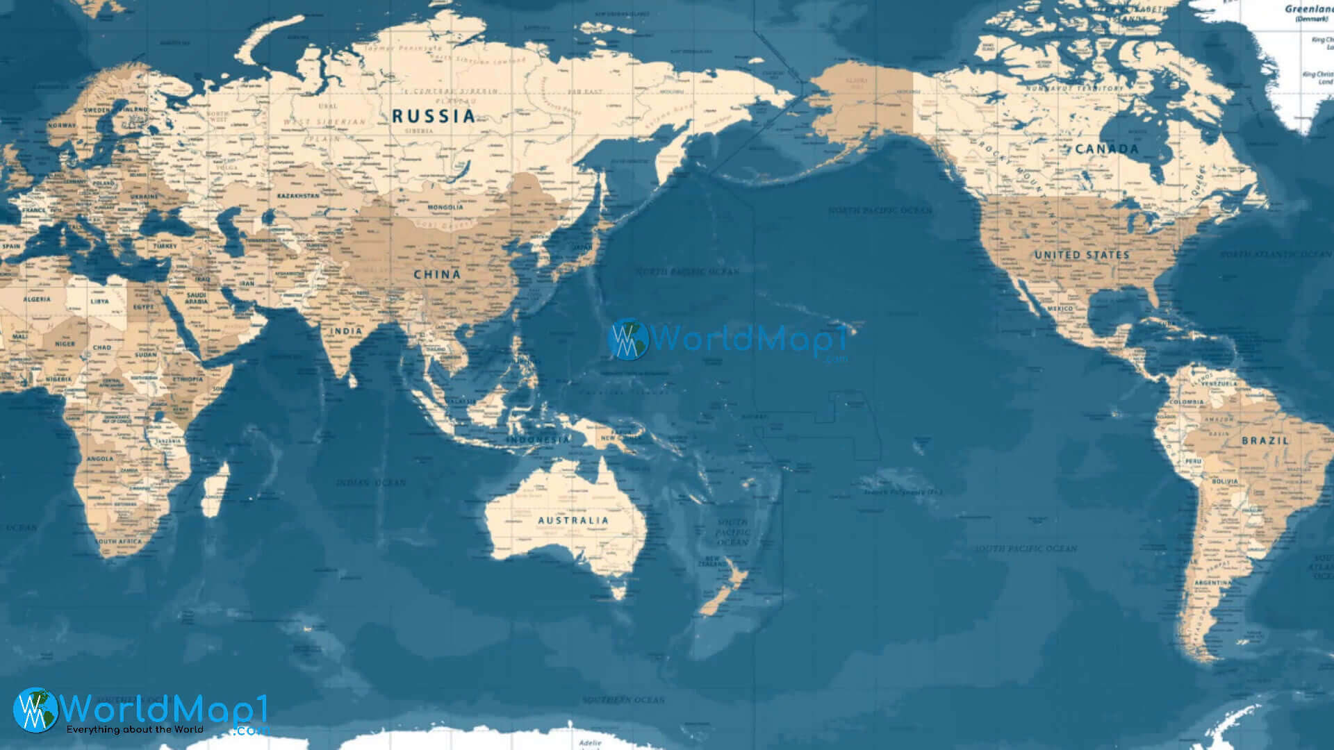
 World map with countries, capitals, and major cities labeled.
Discover detailed countries and cities maps of the world featuring capitals, major cities, and geographical boundaries. These maps are ideal for travelers, students, and researchers who want to explore political divisions, urban centers, and global destinations at a glance.
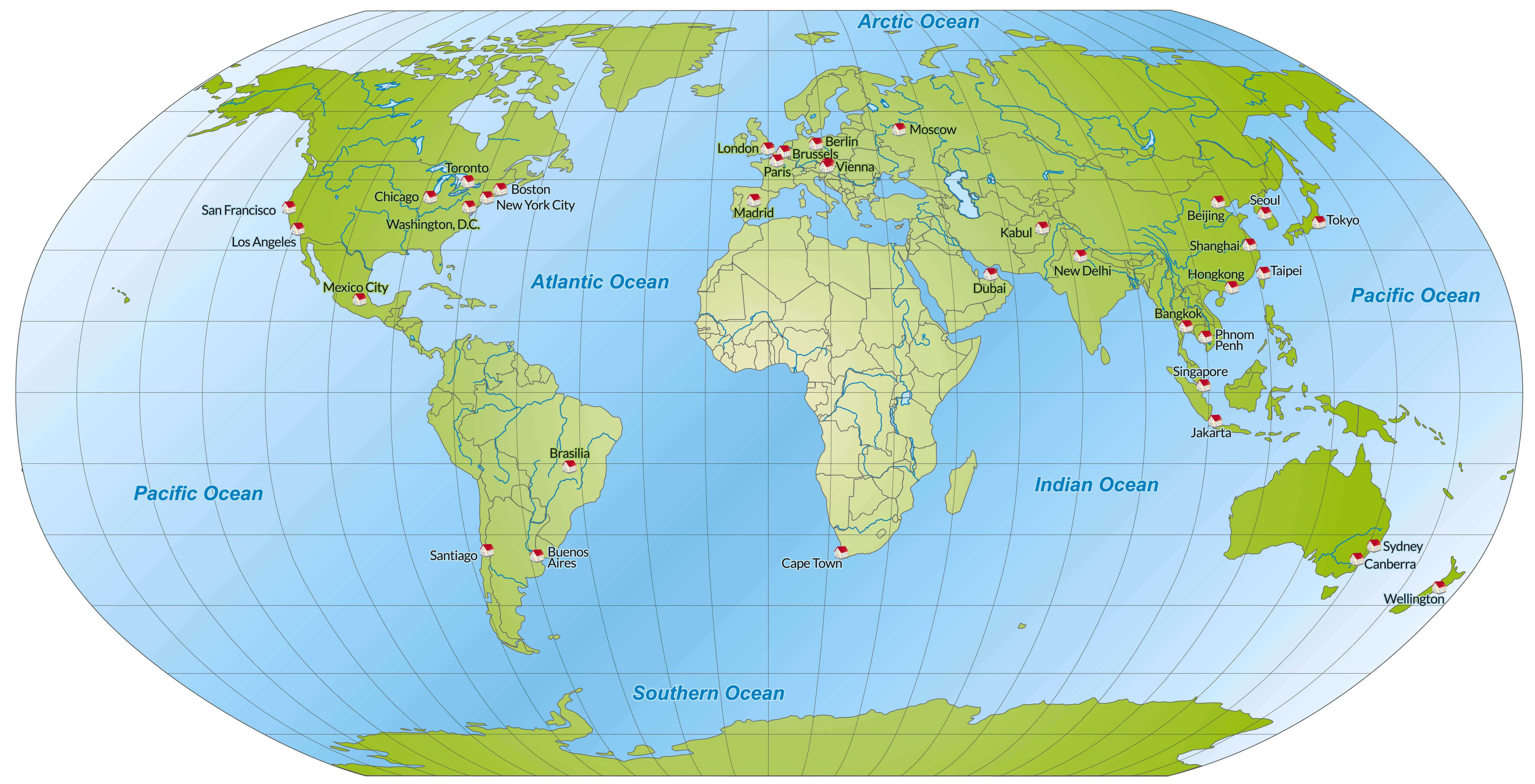
World Countries and Cities Map
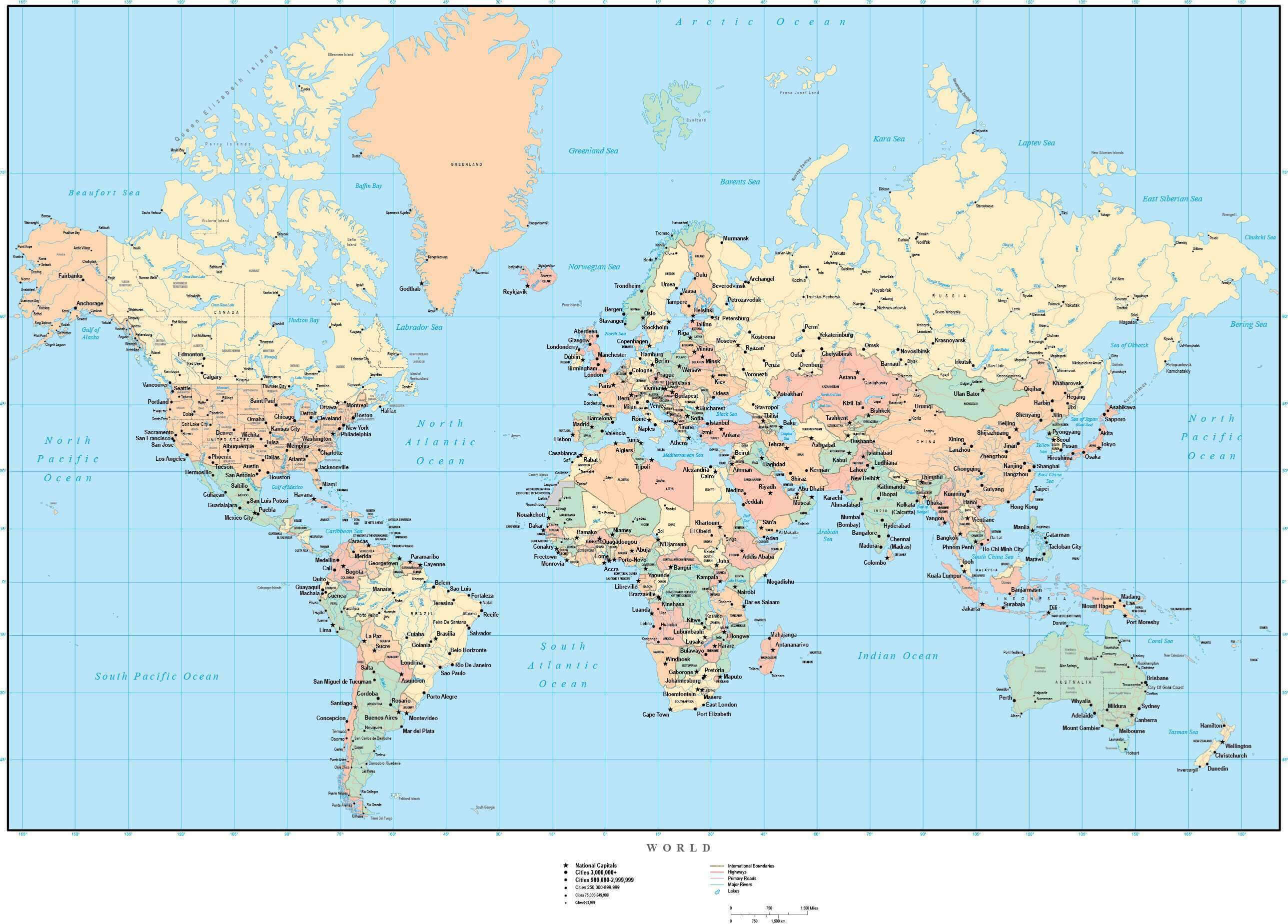 World map with countries, capitals, and major cities labeled.
This world countries and cities map provides a clear view of nations, capitals, and major urban centers across the globe. Perfect for students, travelers, and researchers, it highlights international boundaries and key destinations, making it an essential reference for understanding global geography.
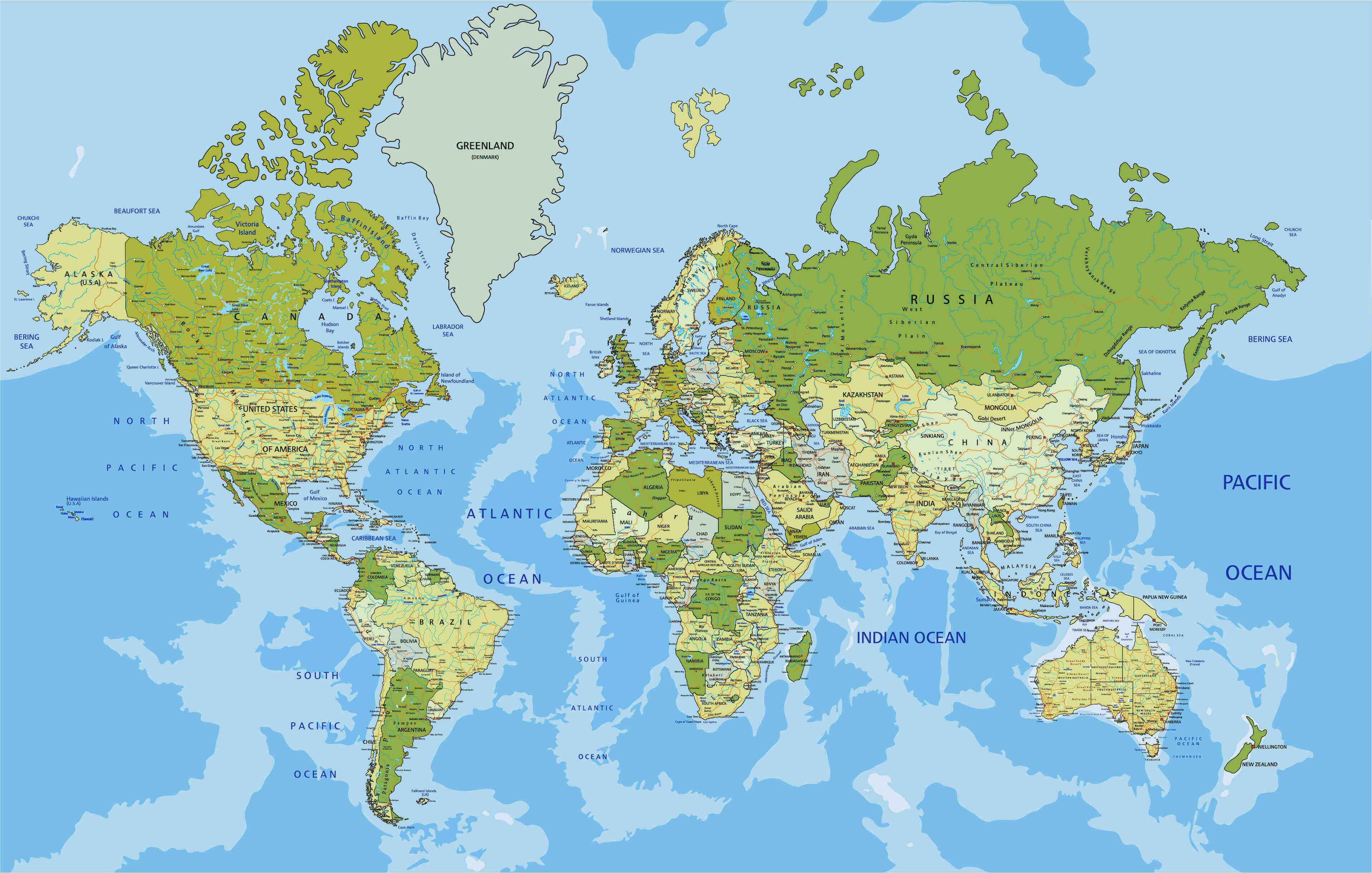
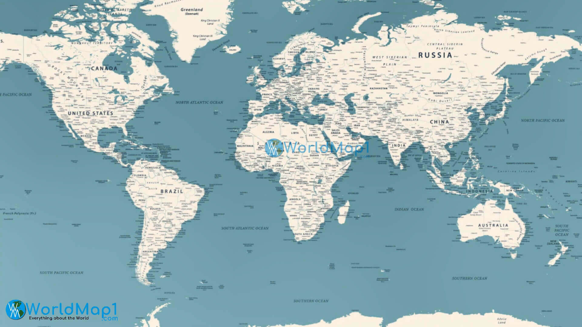
Countries, Capitals, and Major Cities of the World Map
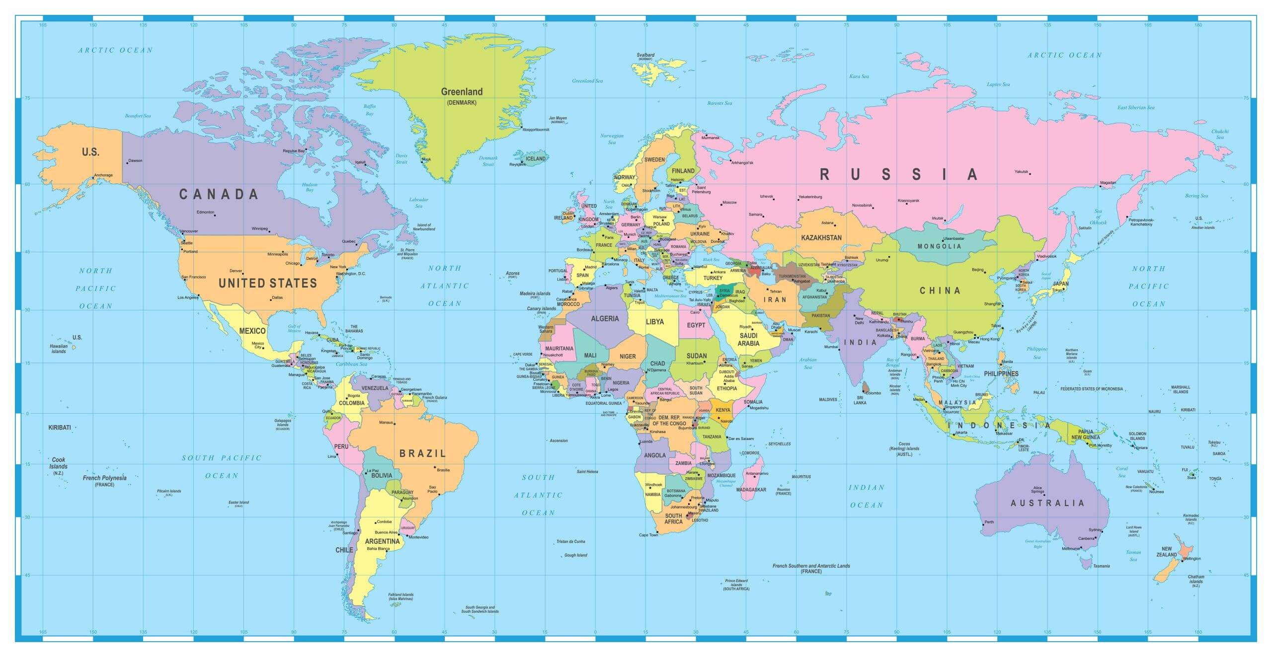 World map with countries, capitals, and major cities labeled clearly.
This detailed world map highlights all countries along with their capitals and major cities. It serves as an excellent reference for students, travelers, and researchers who want to explore political boundaries, important global hubs, and international geography in one comprehensive view.
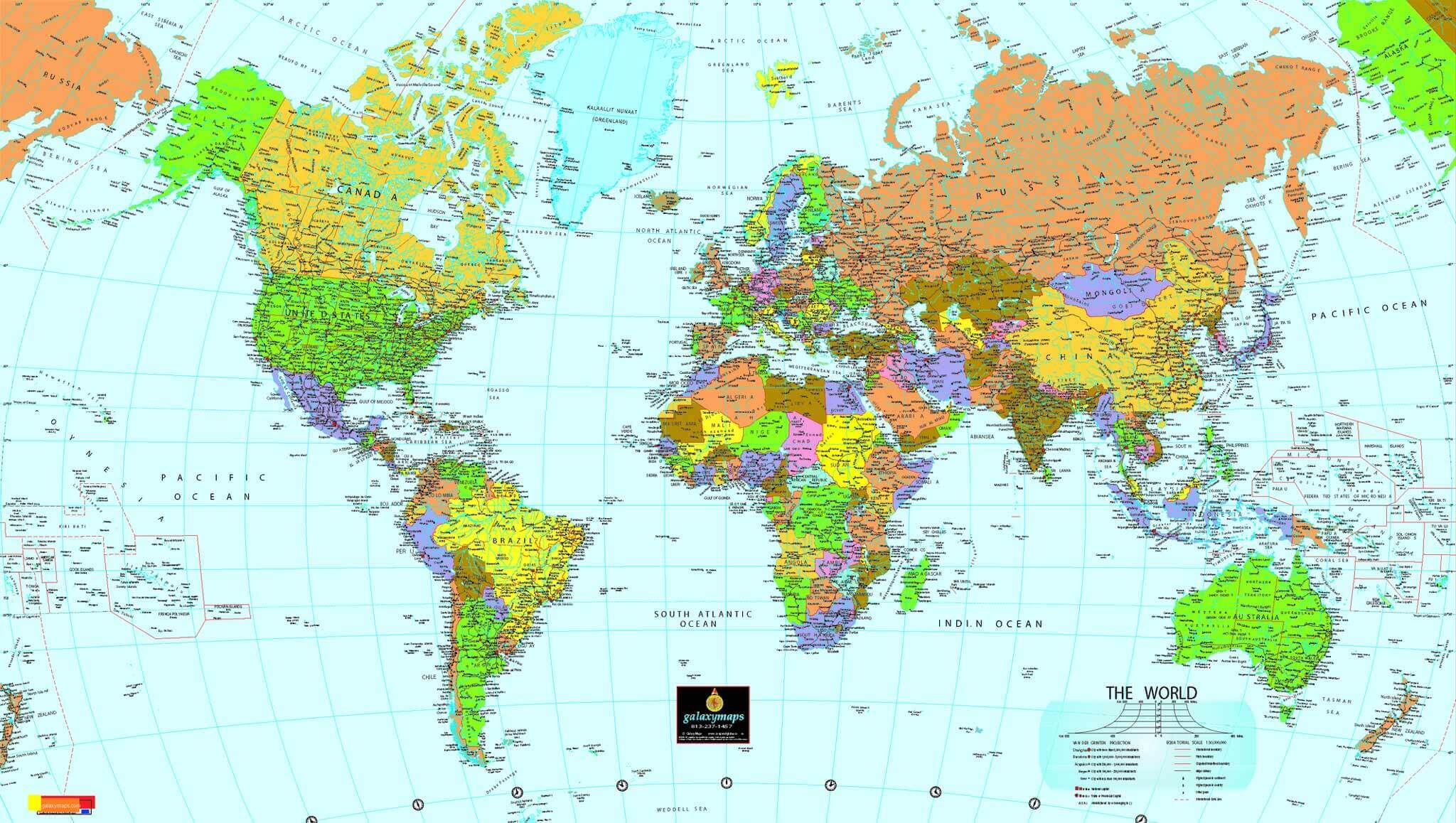
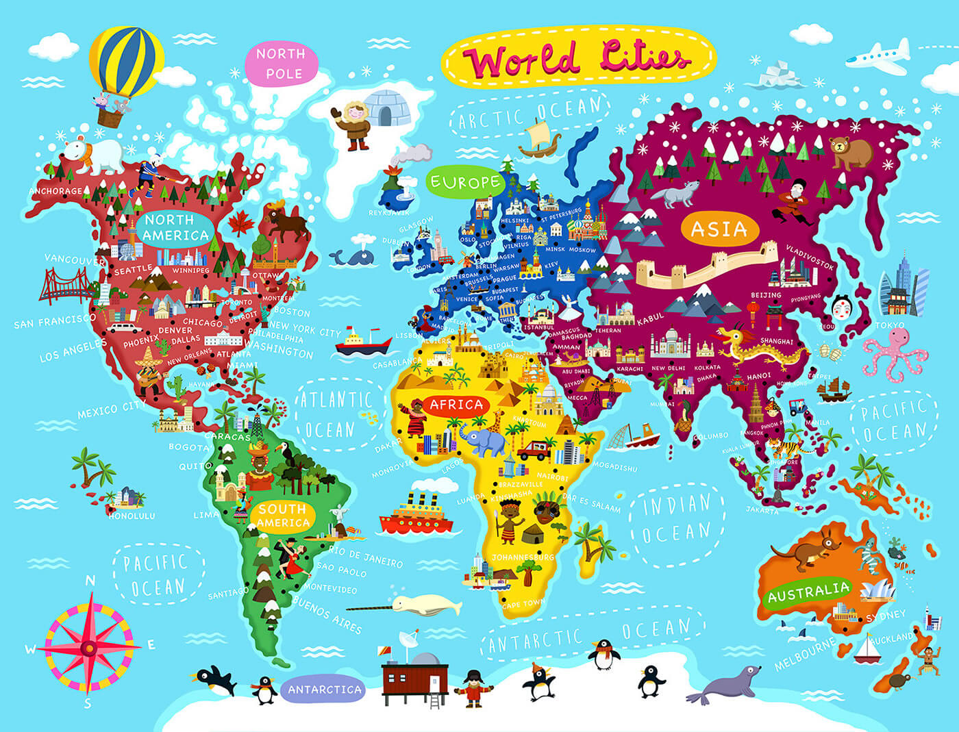
English World map with cities
World biggest cities map with countries
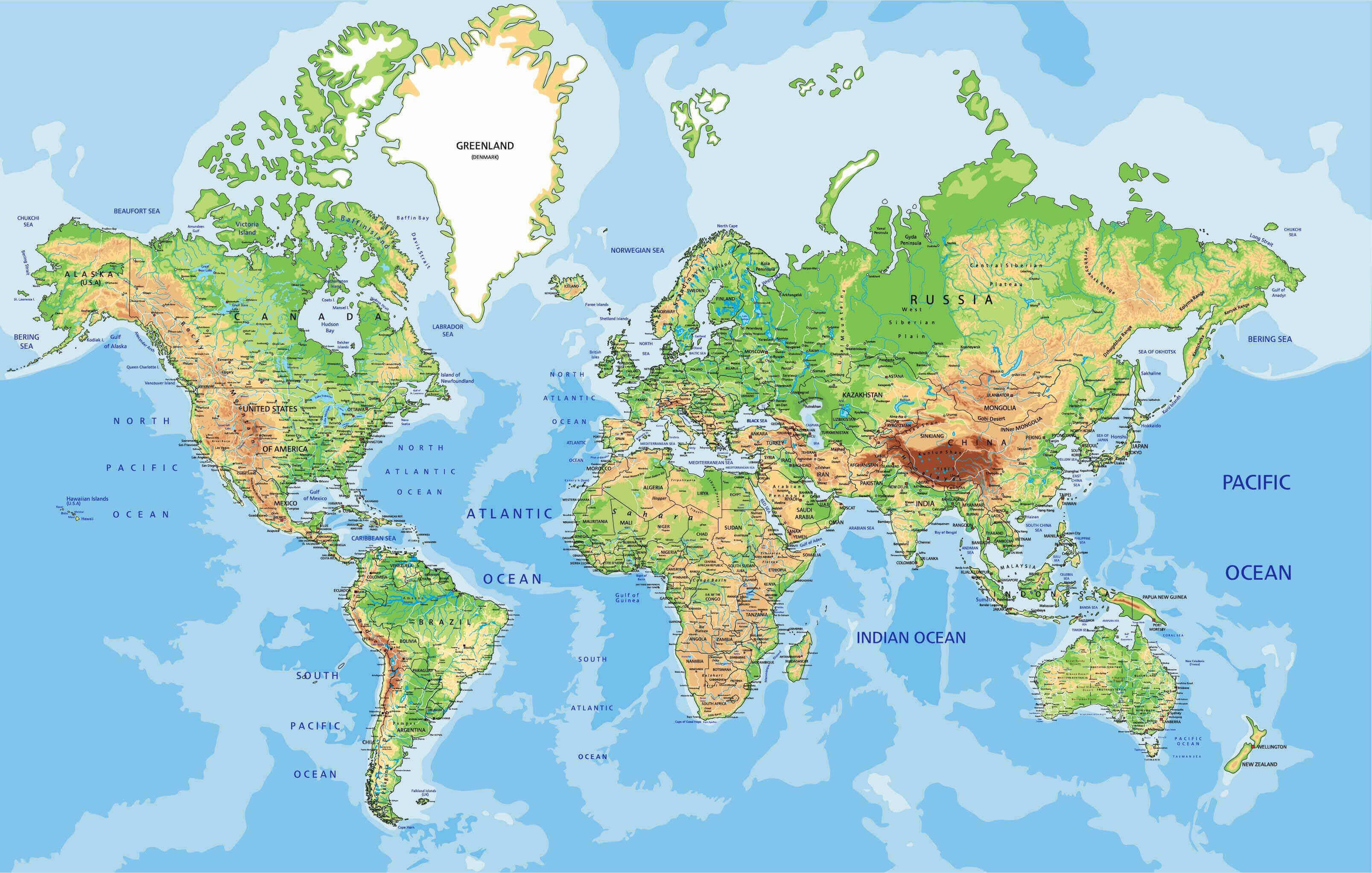
World cities physical map
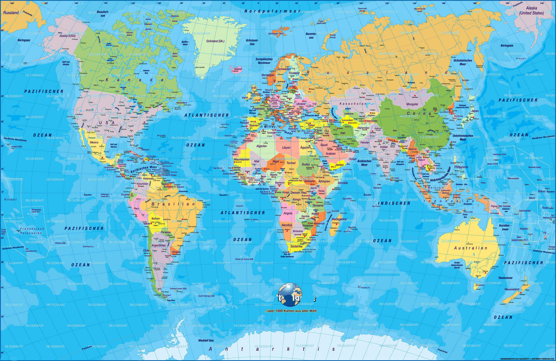
World cities political maps in German
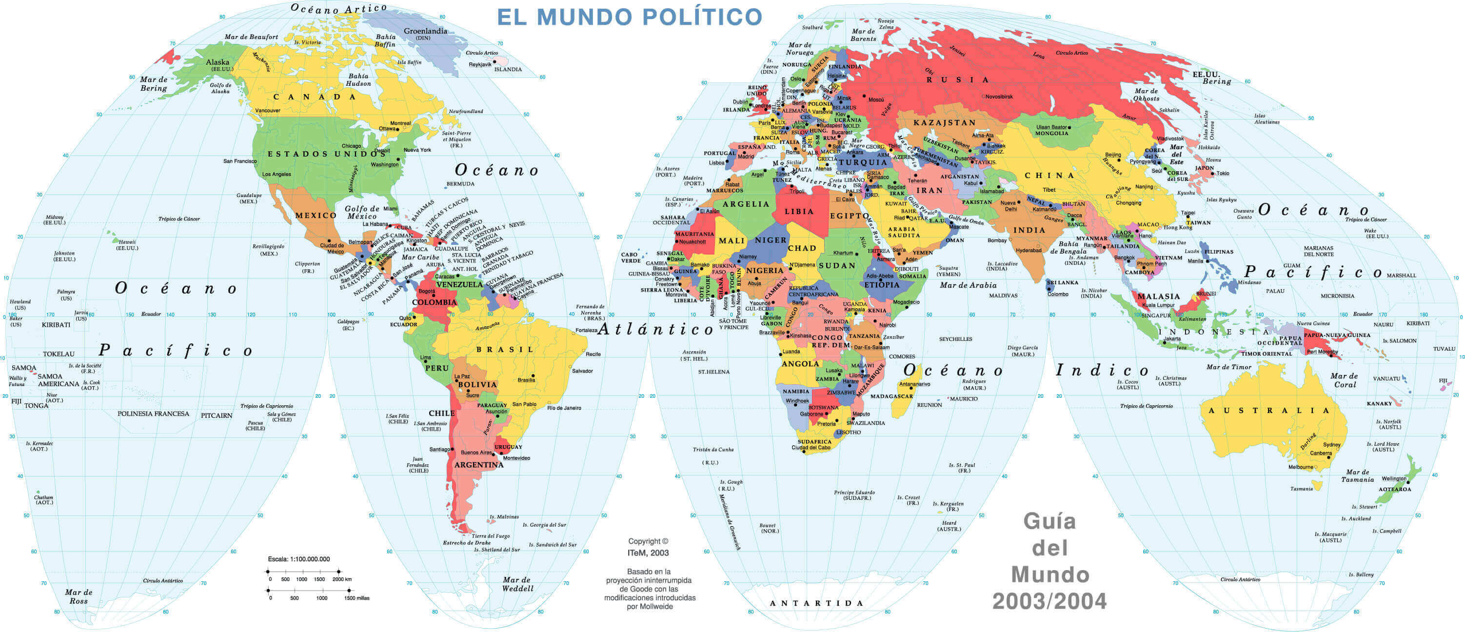
World countries capital cities political map in Spanish
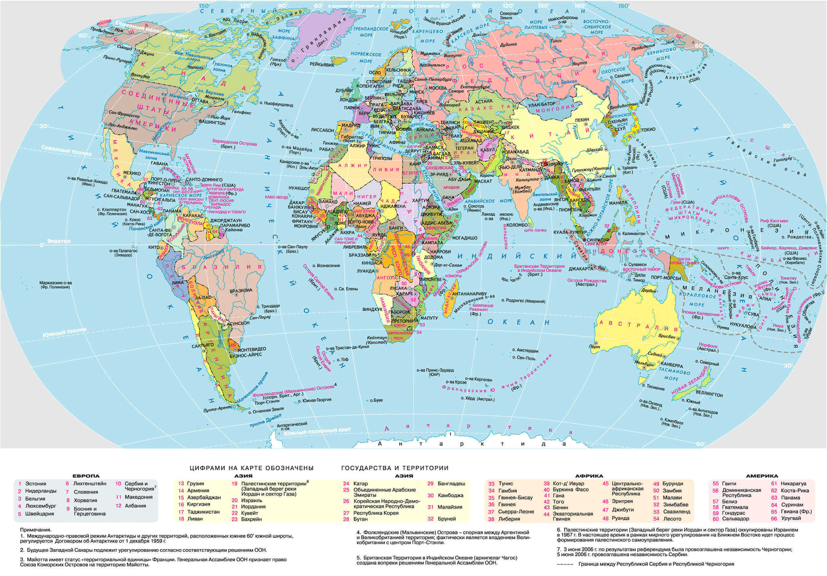
World countries cities political map in Russian
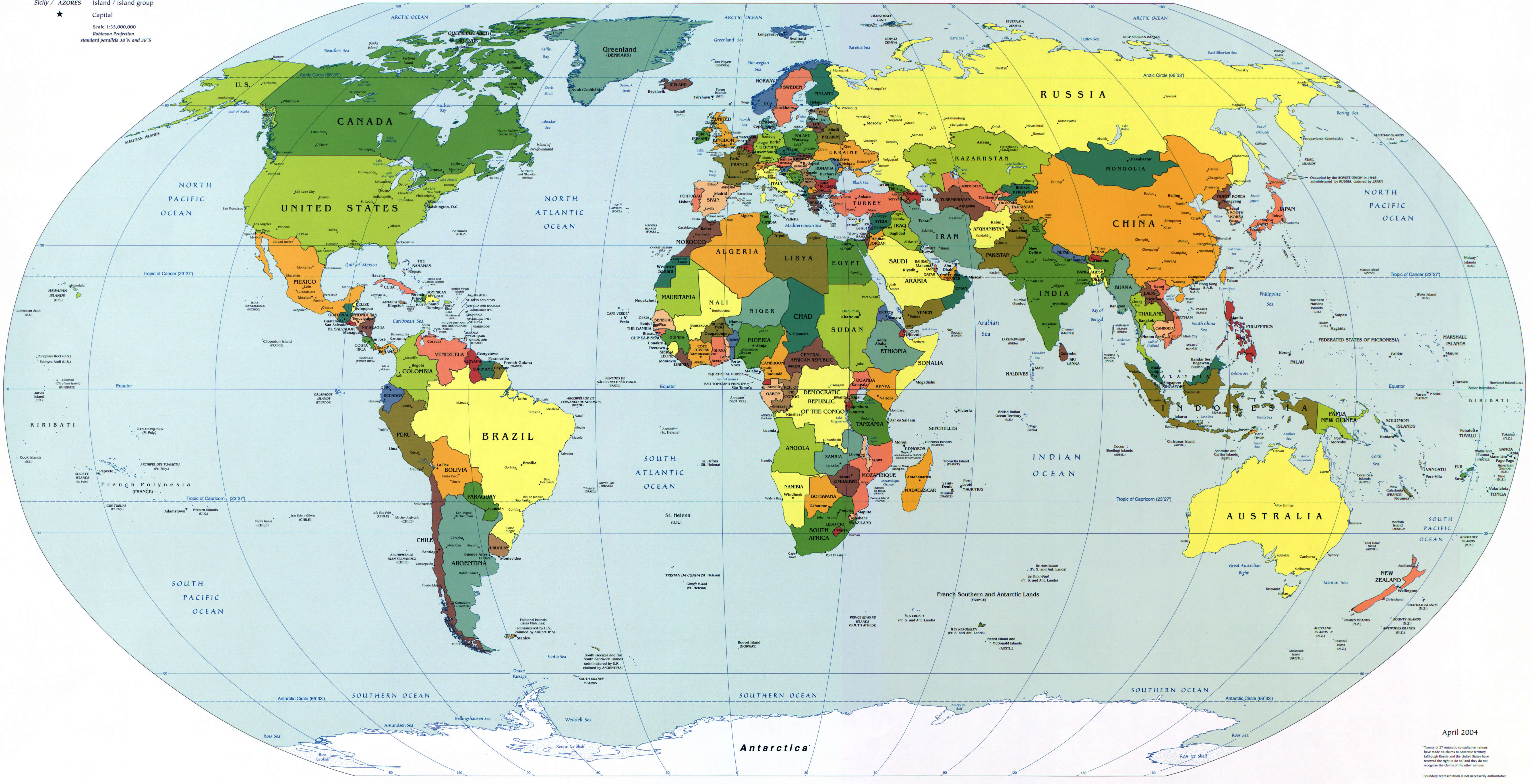
World countries major cities map
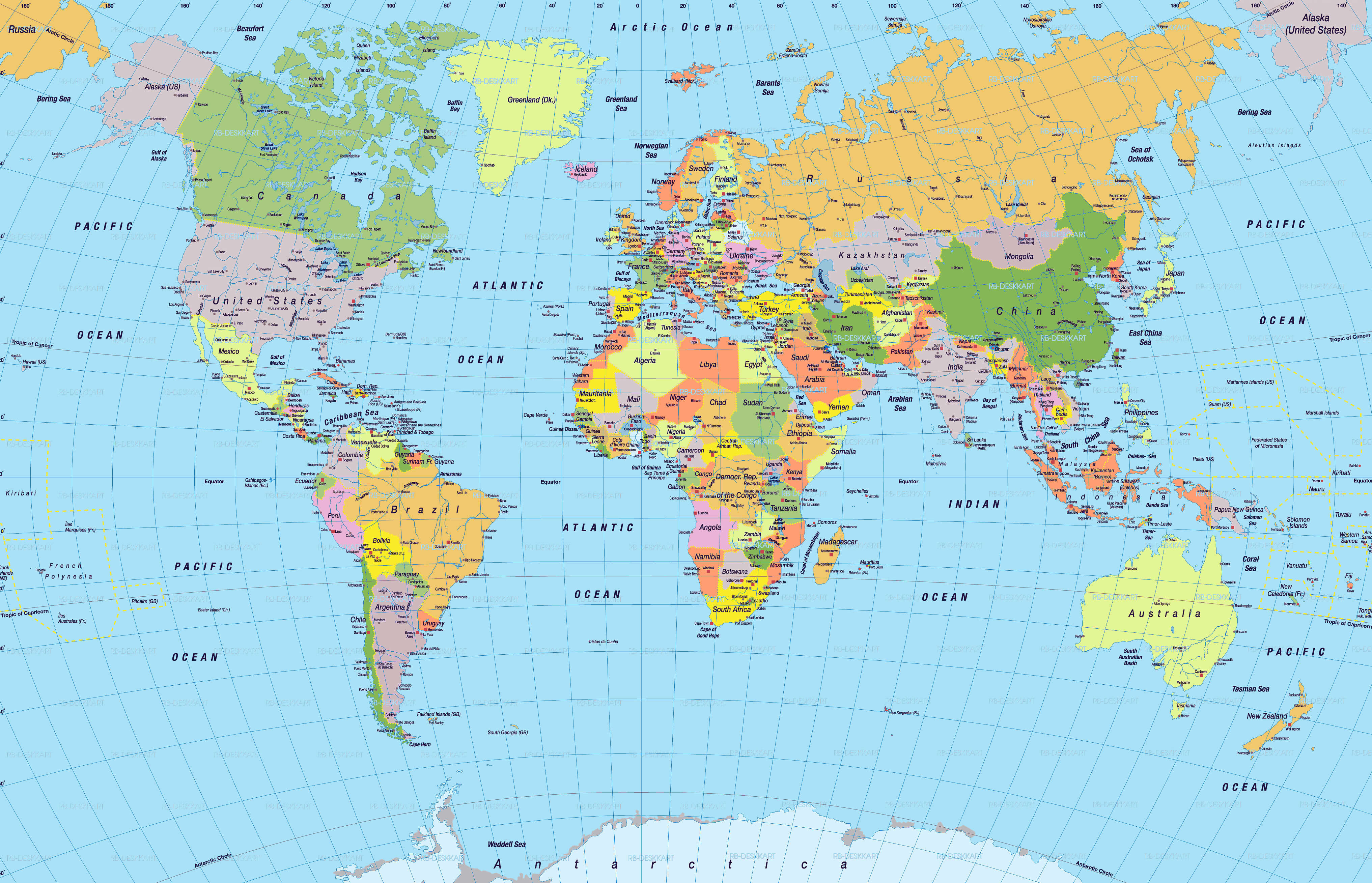
World countries map with cities
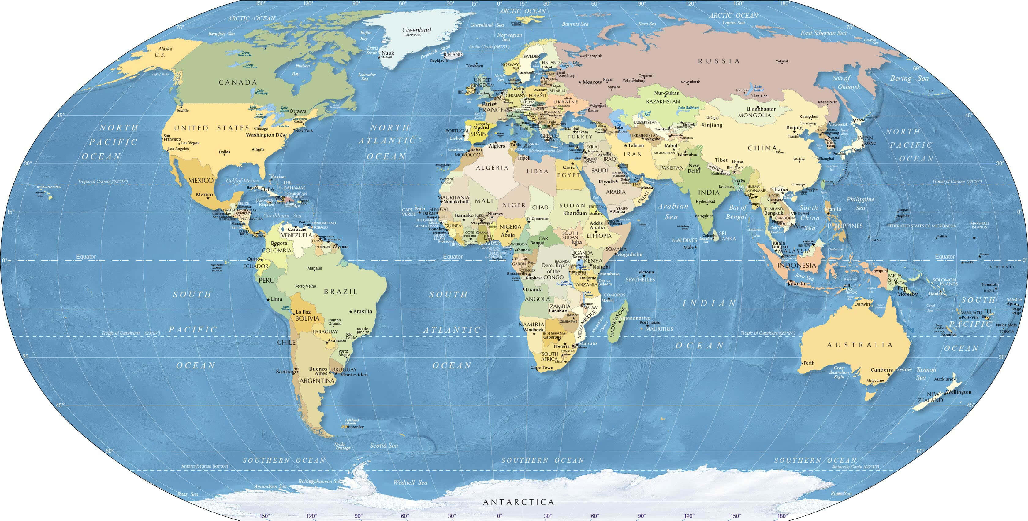
World countries map with metropol cities
World destination cities map
World globe capital cities map with longitude and latitude
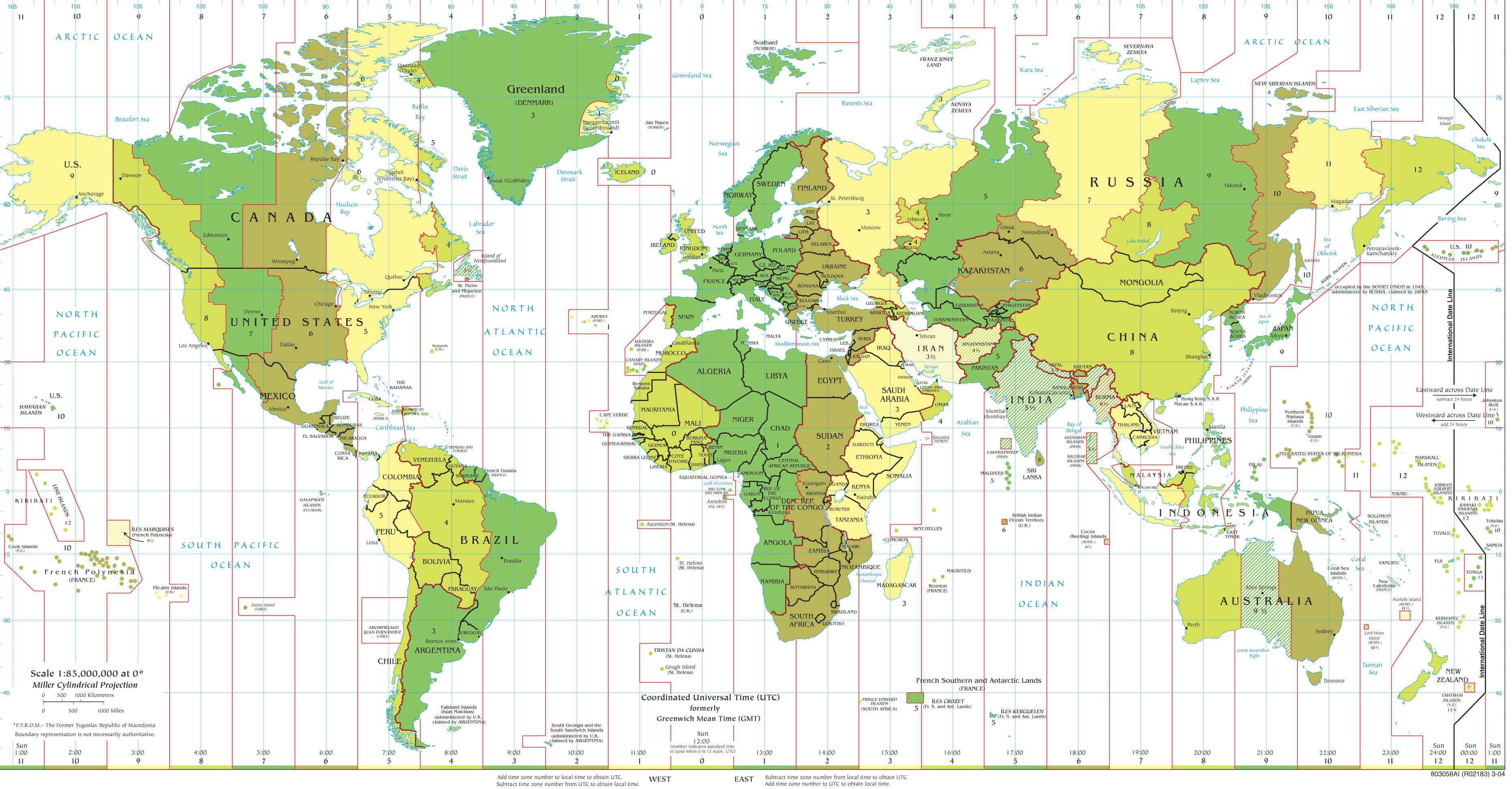
World important cities time zones map
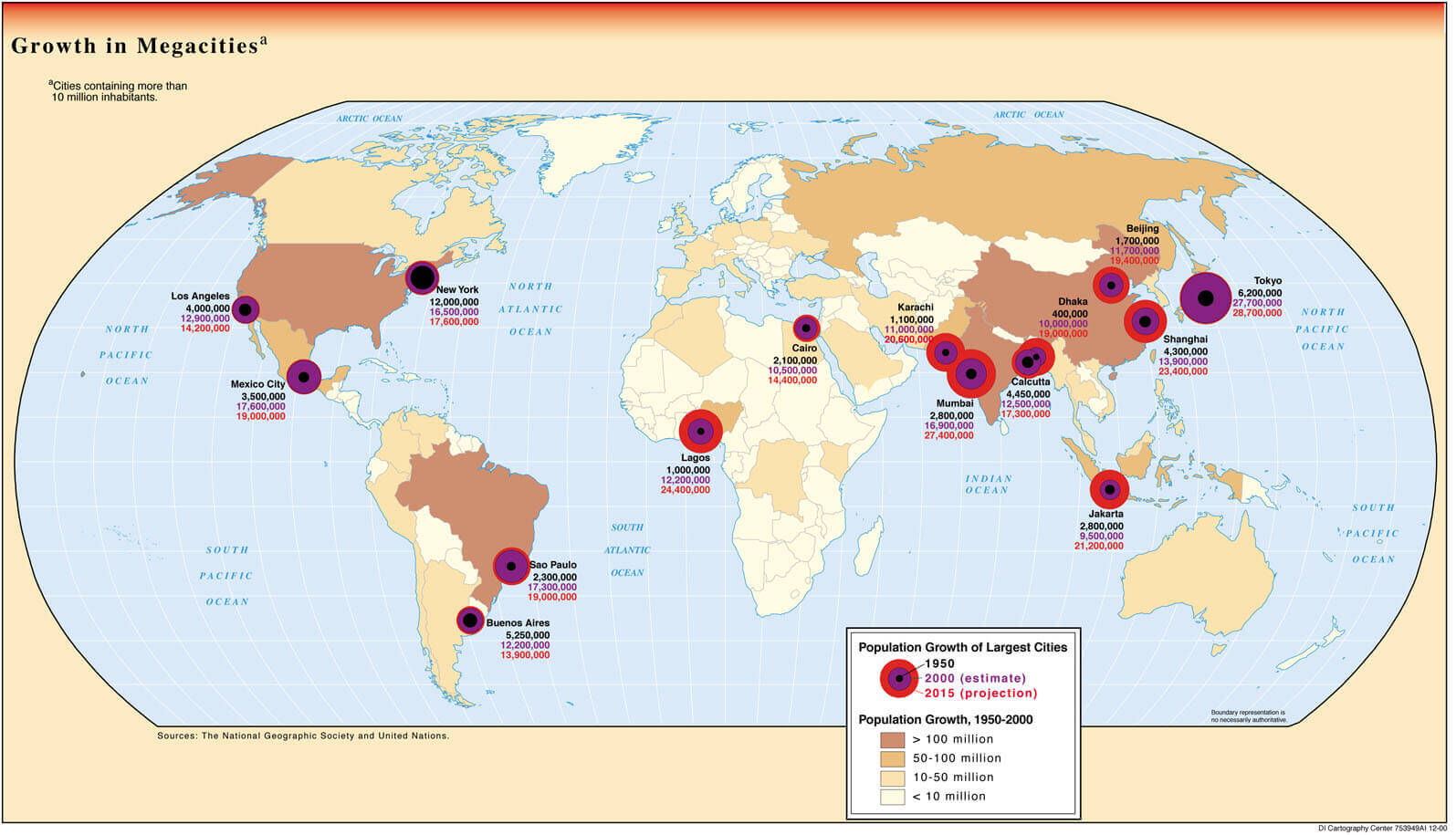
World mega cities map
World map with countries and cities
World map with major cities
World map with pacific ocean
World largest cities map
World political map countries cities
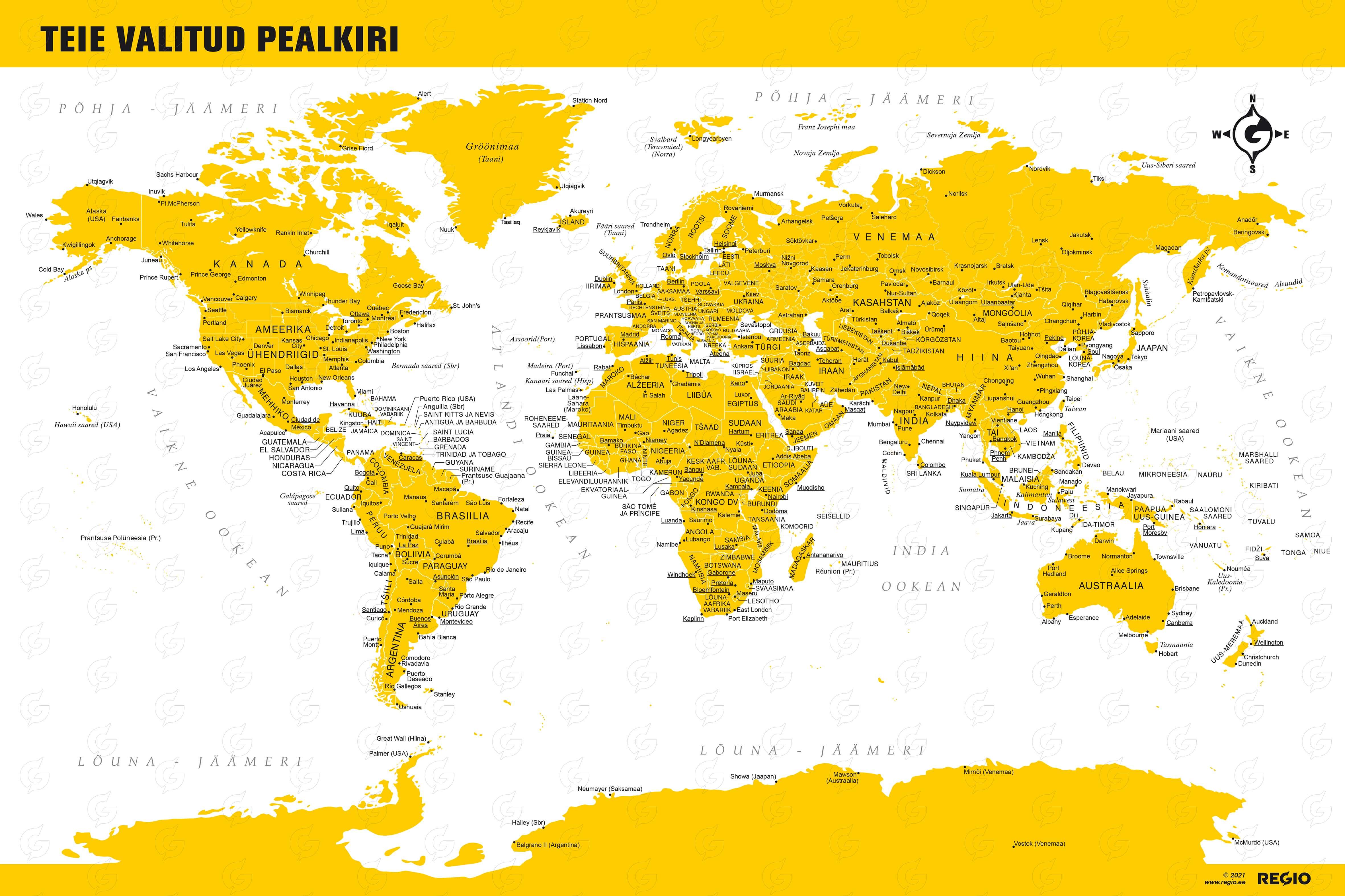
World travel and cities map in Estonian
Feel free to explore these pages as well: