Explore District of Columbia Time Zone Map & Details with Current Local Time
A District of Columbia Time Zone Map is a clear and practical guide to the time zone used in District of Columbia, helping residents, visitors, and businesses stay synchronized with local and national schedules. The District operates ??????? within the Eastern Time Zone (ET), observing Eastern Standard Time (EST, UTC-5) during the winter and Eastern Daylight Time (EDT, UTC-4) in the summer when daylight saving time is in effect. This map highlights Washington, D.C.'s strategic position on the East Coast and its alignment with major cities like New York, Philadelphia, and Atlanta. Whether you're planning travel, coordinating meetings, or checking the current local time, a District of Columbia time zone map serves as a reliable and user-friendly resource for accurate time management.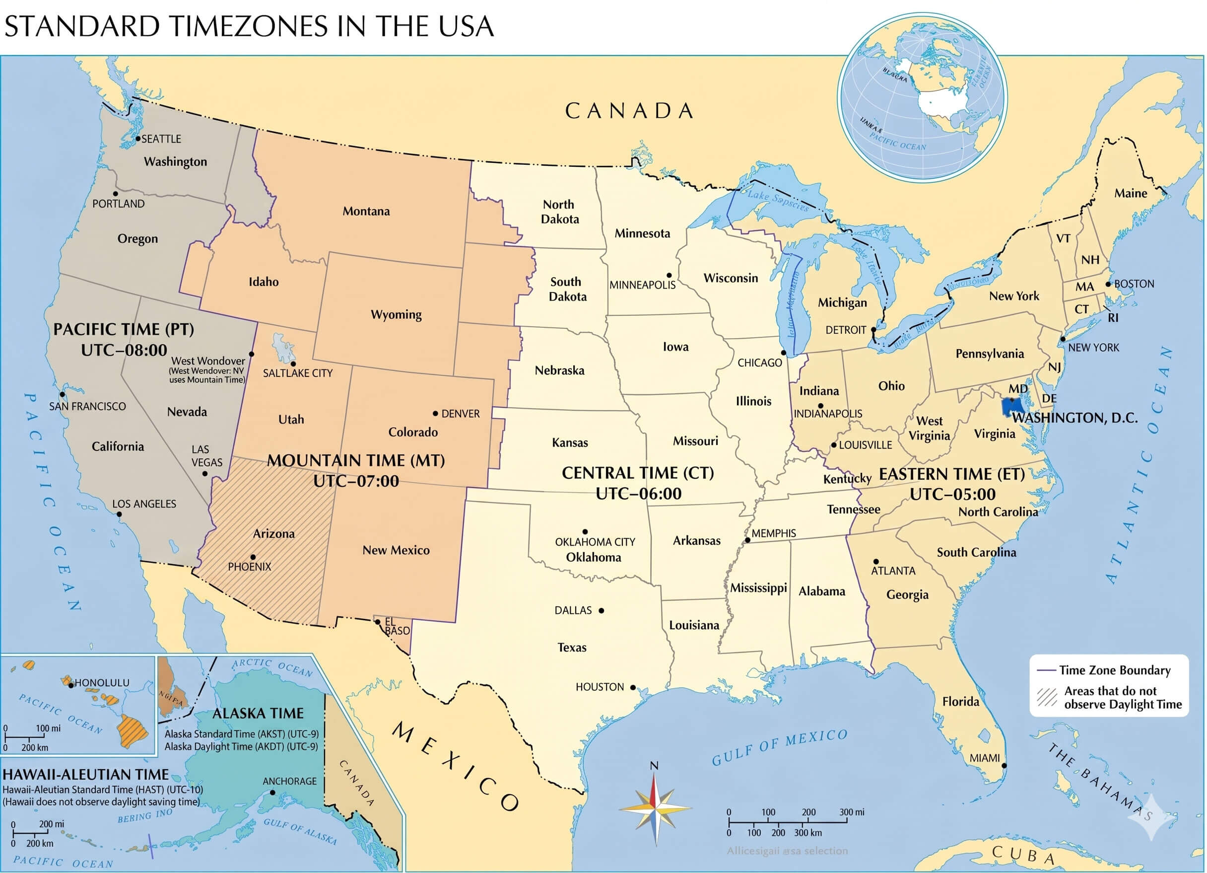
What Time Zone Does the District of Columbia Use?
The District of Columbia follows the Eastern Time Zone (ET), which corresponds to Eastern Standard Time (EST) or UTC-5 during the winter months. Located on the East Coast of the United States, the District of Columbia shares its time zone with major cities such as New York City, Boston, Philadelphia, and Miami. This time zone plays an important role in government, transportation, commerce, and communication across the eastern United States.
District of Columbia Time Zone Map Infographic
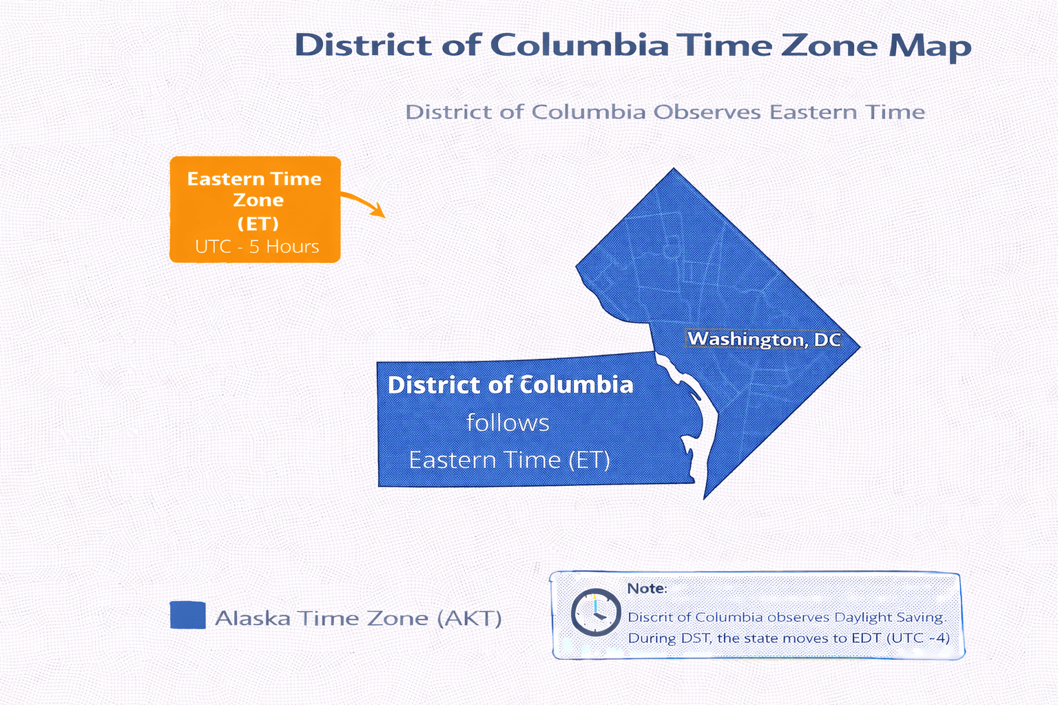
Does the District of Columbia Use Daylight Saving Time?
Yes. The District of Columbia observes Daylight Saving Time. Clocks move forward by one hour in March, changing from Eastern Standard Time (EST, UTC-5) to Eastern Daylight Time (EDT, UTC-4). In November, clocks are set back one hour as the District of Columbia returns to standard time.
District of Columbia Time Zone Map
What Time Is It in the District of Columbia Right Now?
District of Columbia Time Zone
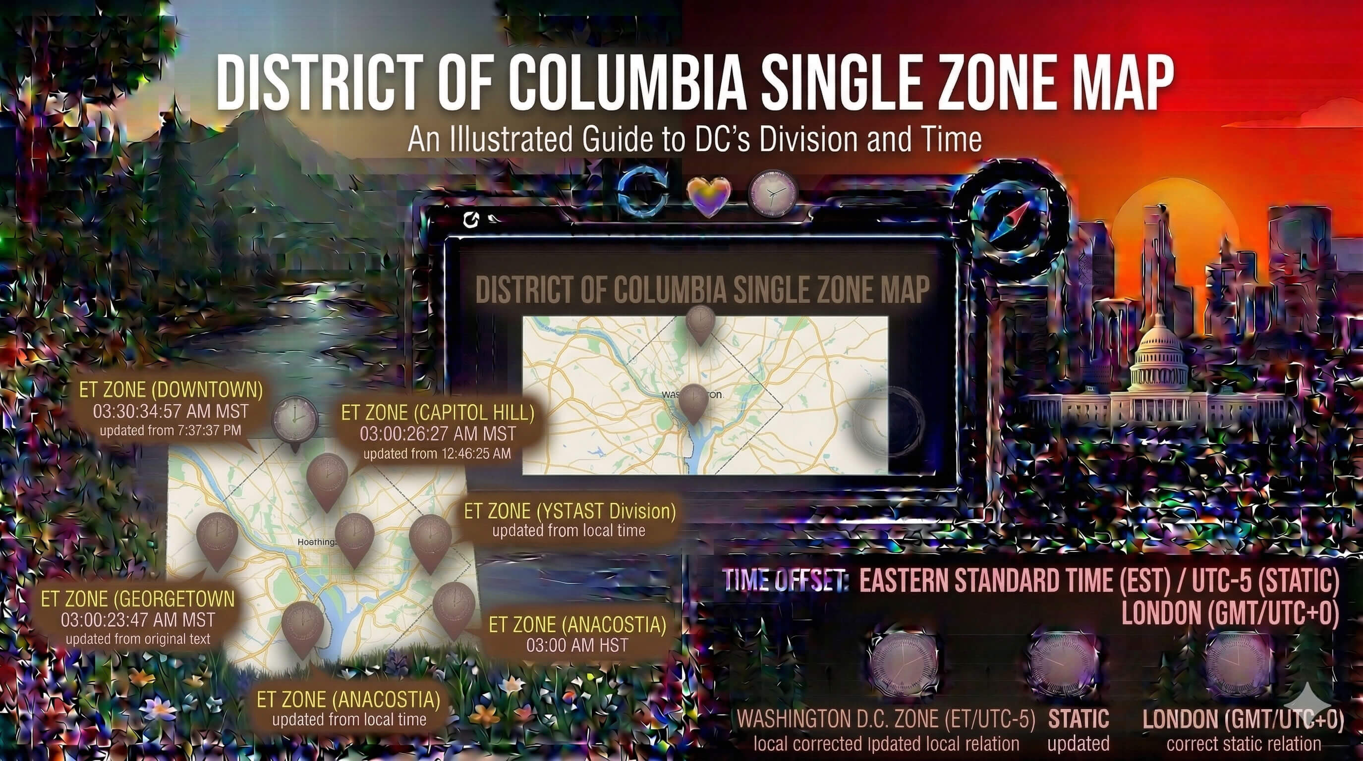
District of Columbia Major cities in this time zone:
- Washington
- Georgetown
- Capitol Hill
- Dupont Circle
- Foggy Bottom
- Adams Morgan
Time Difference Between the District of Columbia and Major Cities
| City | Time Difference |
|---|---|
| New York | Same time (ET) |
| Boston | Same time (ET) |
| Chicago | 1 hour behind (CT) |
| Denver | 2 hours behind (MT) |
| Los Angeles | 3 hours behind (PT) |
| London | 5 hours ahead |
| Paris | 6 hours ahead |
| Istanbul | 7 hours ahead |
| Tokyo | 13 hours ahead |
How Far Is Los Angeles from Washington, D.C.? Distance in KM and Miles
The distance between Los Angeles and Washington, D.C. is approximately 3,700 kilometers (about 2,300 miles) when measured in a straight line. This route connects the West Coast to the U.S. capital and is one of the most important long-distance domestic travel corridors in the country. Actual travel distance may vary depending on the route and mode of transportation.
How Long Is the Flight Between Los Angeles and Washington, D.C.?
A direct flight between Los Angeles and Washington, D.C. typically takes about 5 hours, depending on weather conditions, air traffic, and the exact route. Flights usually depart from Los Angeles International Airport (LAX) and arrive at Ronald Reagan Washington National Airport (DCA), Washington Dulles International Airport (IAD), or sometimes Baltimore/Washington International Airport (BWI). Major airlines offering direct flights include American Airlines, United Airlines, Delta Air Lines, and Southwest Airlines.
Feel free to explore these pages as well:
- Head of Performance Marketing
- Head of SEO
- Linkedin Profile: linkedin.com/in/arifcagrici