Maps of Oceania: Countries, Islands, and Geographic Regions
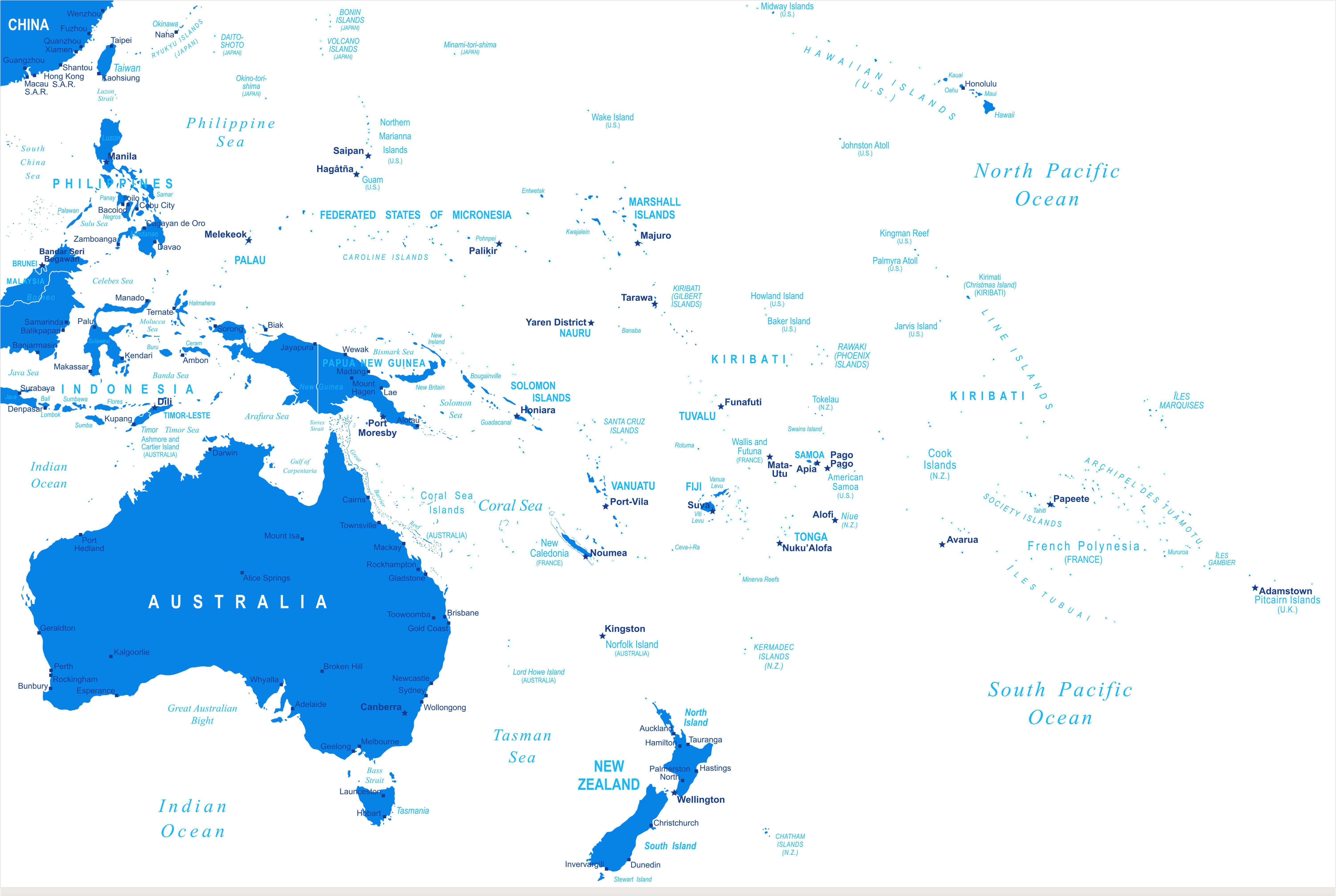
Discover our comprehensive collection of Oceania maps, created to help users explore the region’s geography, political boundaries, and historical development. The collection includes a wide range of map types, such as an Australia and Oceania political map, detailed Oceania reference map, historical colonial map of Oceania, and Pacific-centered Oceania map, offering valuable insights into countries, territories, and island groups across the region. These maps provide an excellent resource for understanding the diverse landscapes and political organization of Oceania.
detailed Oceania reference map
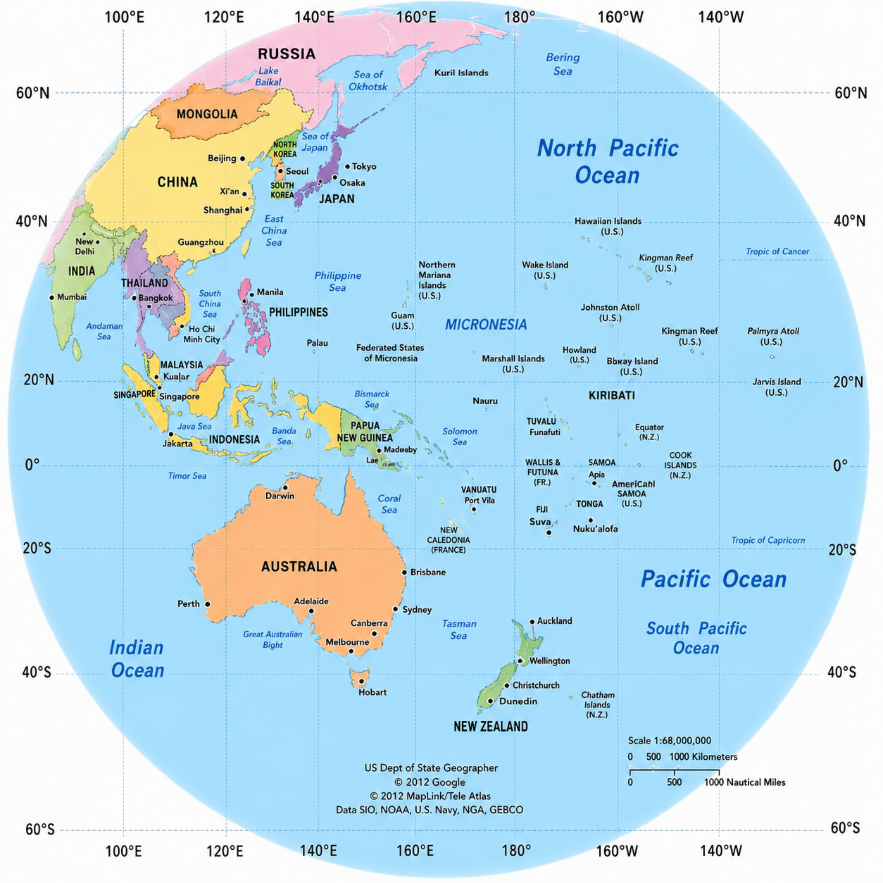
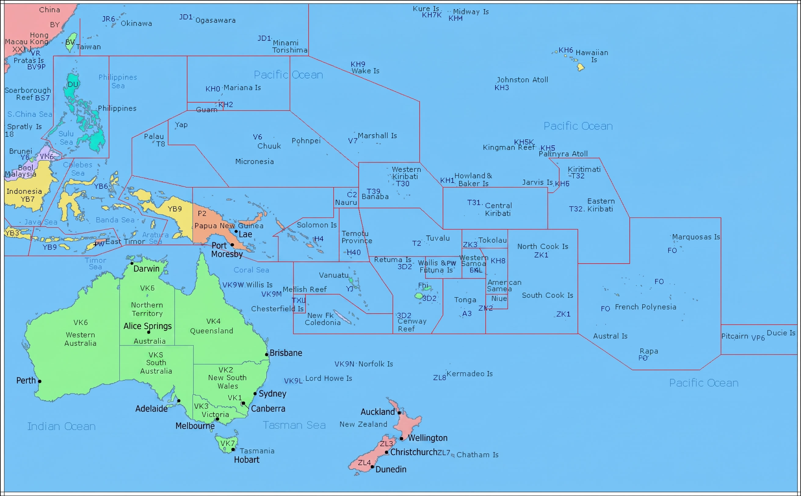
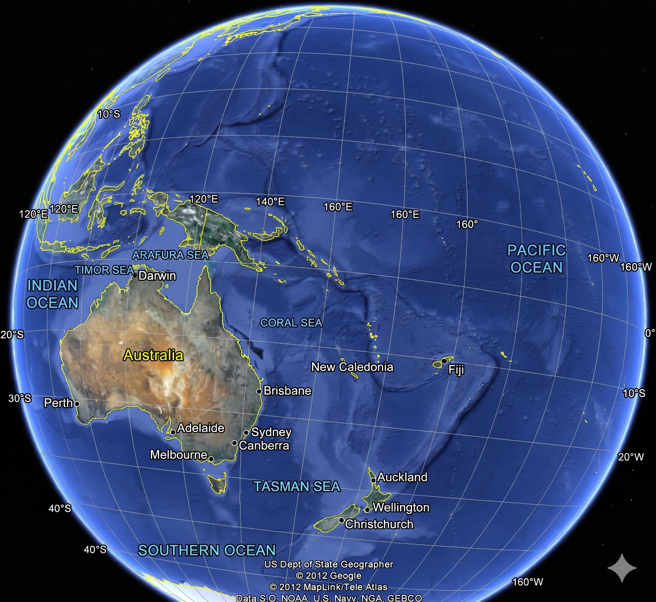
Oceania asia pacific regional map
Oceania overview map
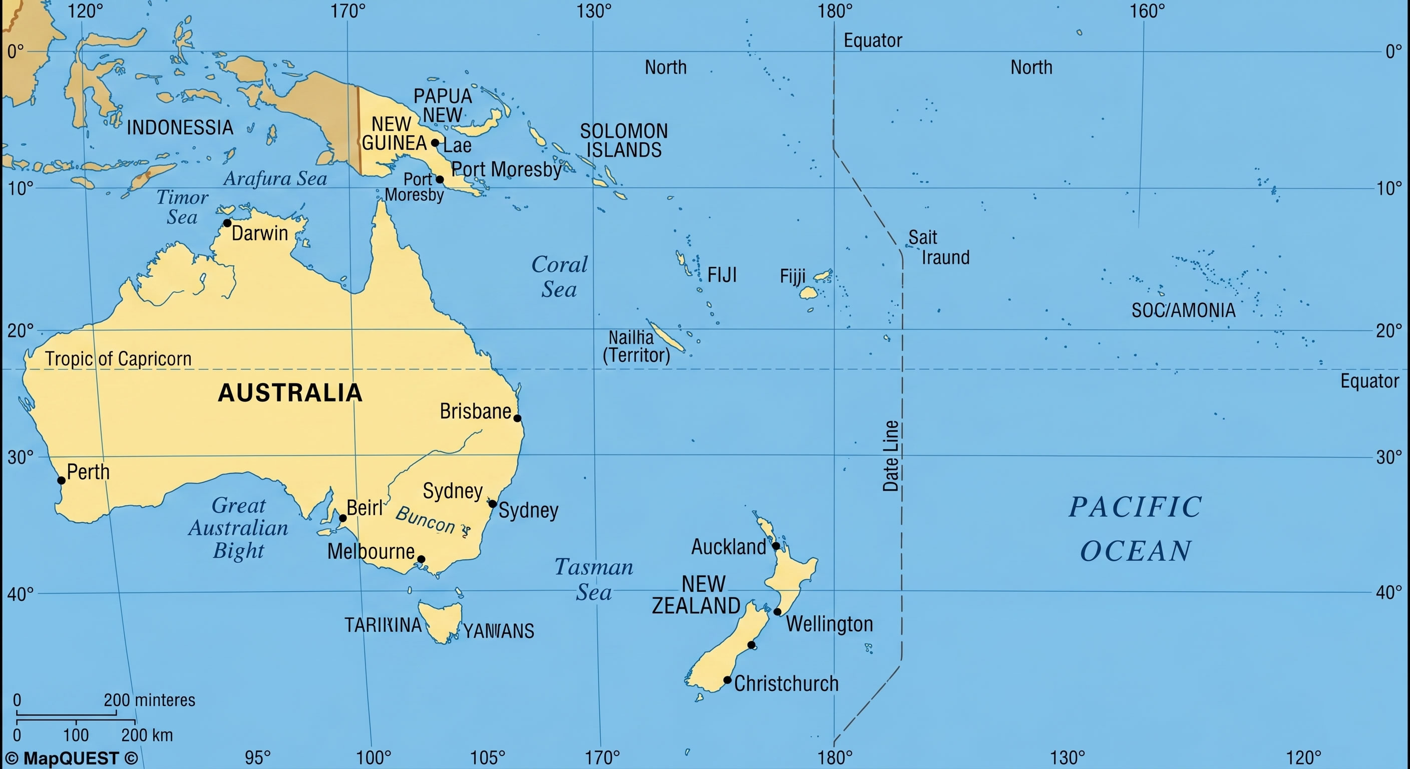
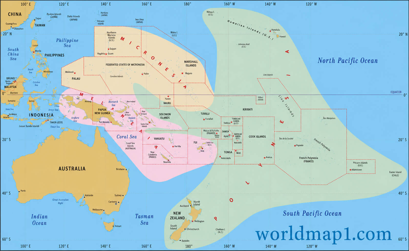
Our Oceania maps collection also highlights thematic perspectives for travelers, educators, and researchers, including Oceania countries and territories map, Oceania country map Australia, Oceania detailed political map with Australia, Oceania overview map, and Oceania physical map with countries. Whether you are examining Oceania Asia Pacific regional map, Oceania globe view map, or Oceania Australia map with Pacific ocean, these resources offer precise geographic, political, and physical information for better planning, study, and visualization of the Oceania region.
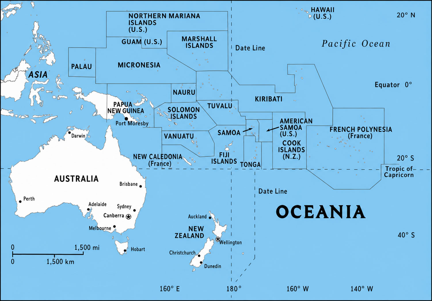
Oceania detailed political map with Australia
Australia Oceania blue political map
Historical Oceania Federation Colonial map
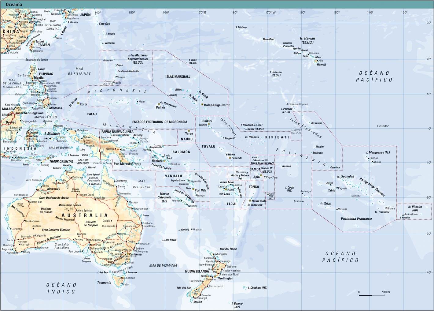
Cceania physical map with countries
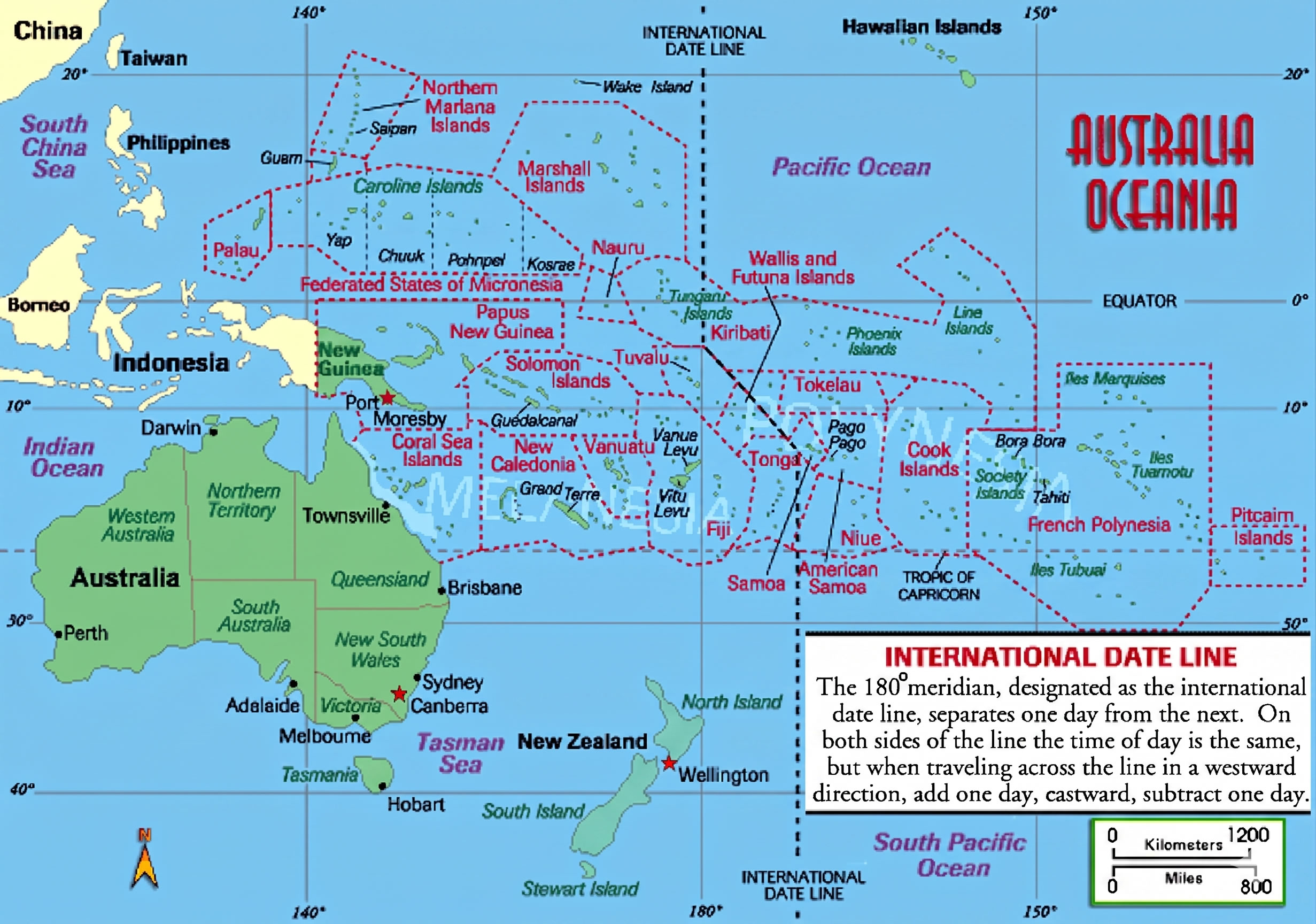
In addition to political and historical maps, the collection features maps highlighting Pacific Islands, exclusive economic zones (EEZs), regional divisions, and broader geographic relationships within the Pacific. Users can also explore satellite and reference maps to better understand the location, scale, and distribution of Oceania’s nations and territories. Whether for education, research, travel planning, or geographic analysis, these Oceania maps offer accurate and informative visual resources for a wide range of purposes.
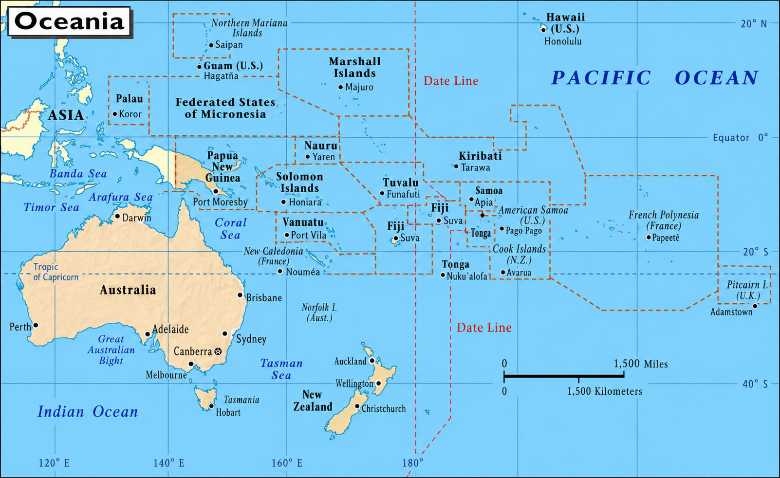
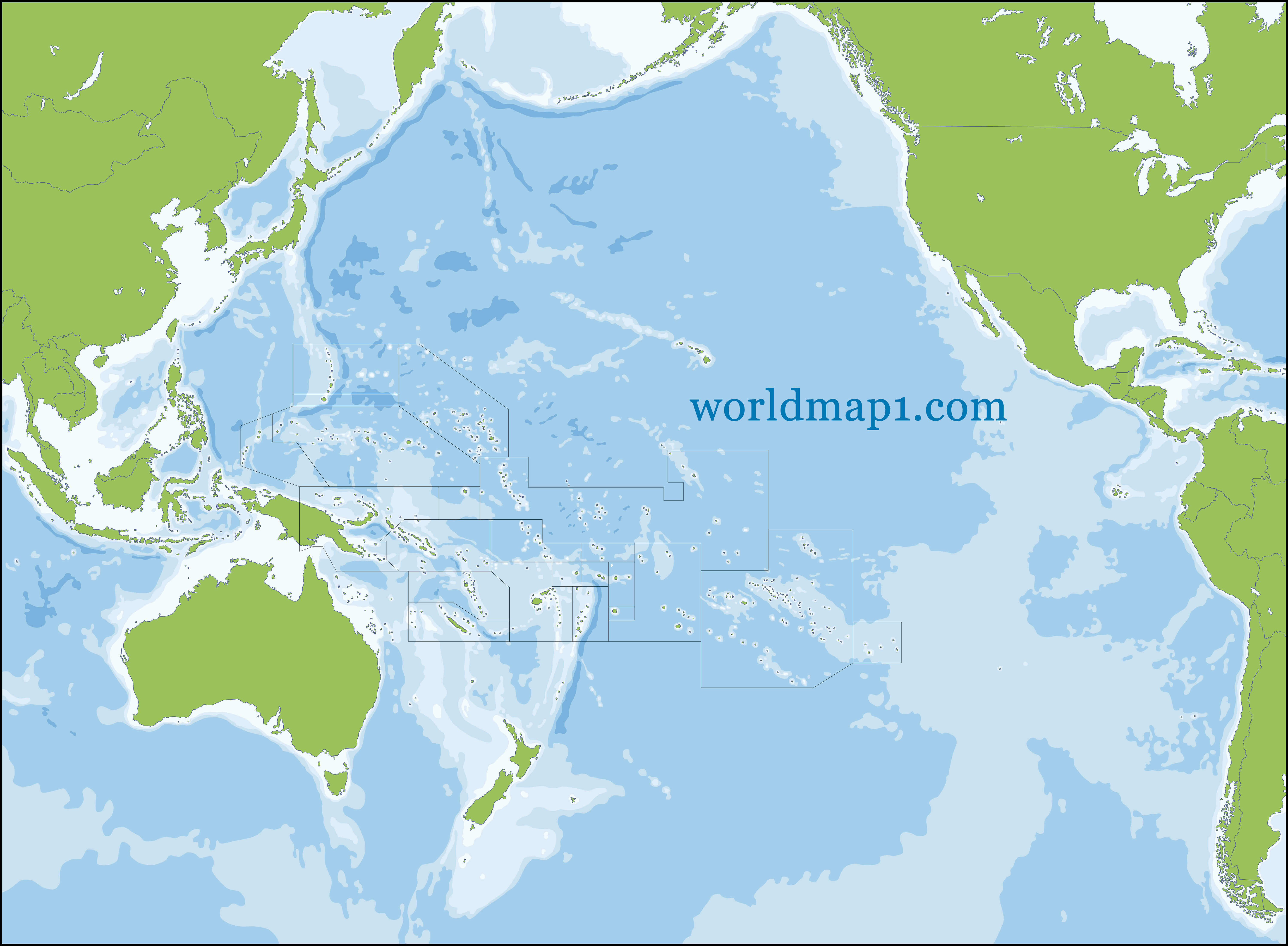
Map of Oceania with pacific
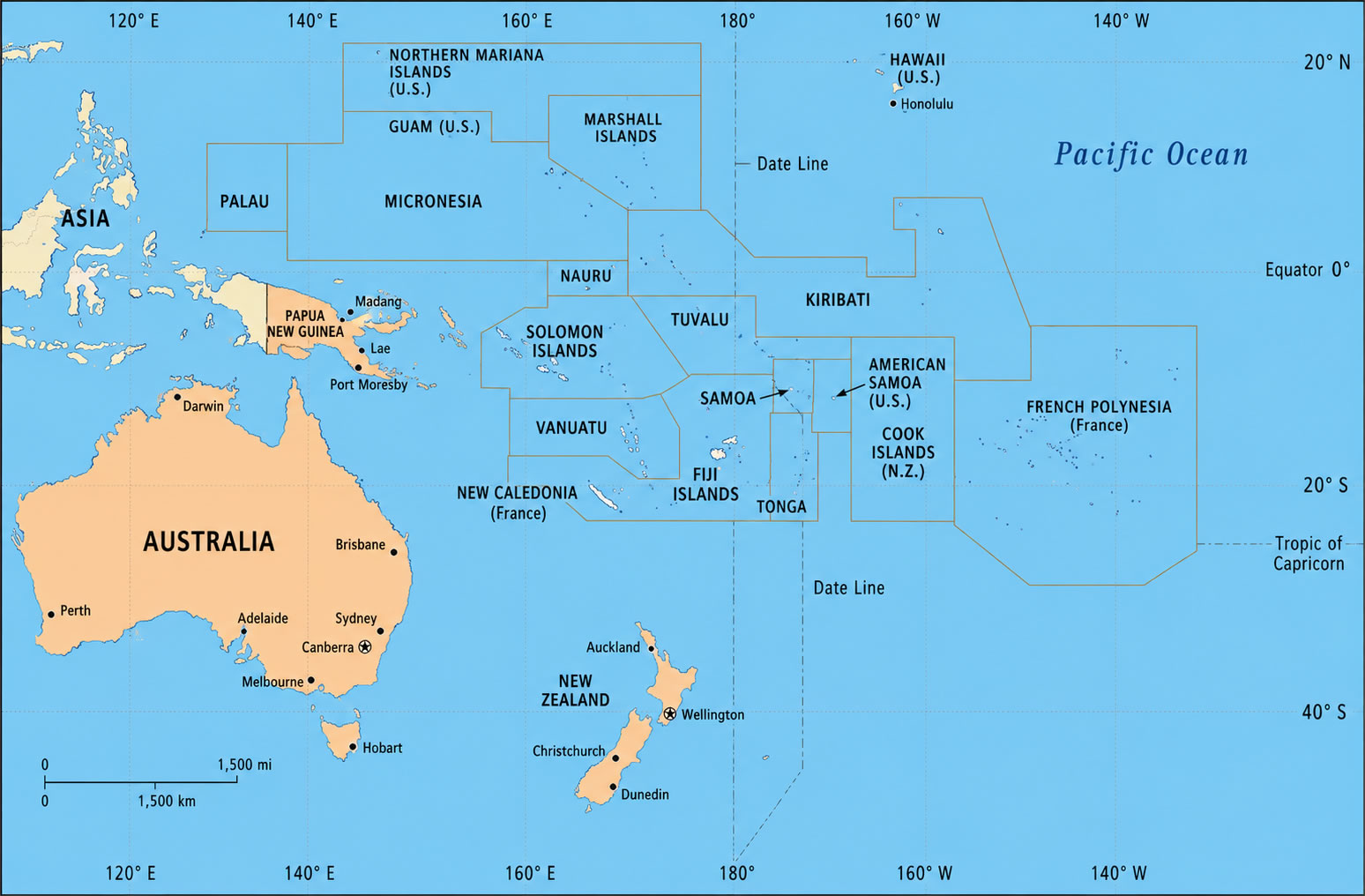
Oceania and Australia map
Oceania Australia map with pacific islands
Oceania counties map with pacific ocean
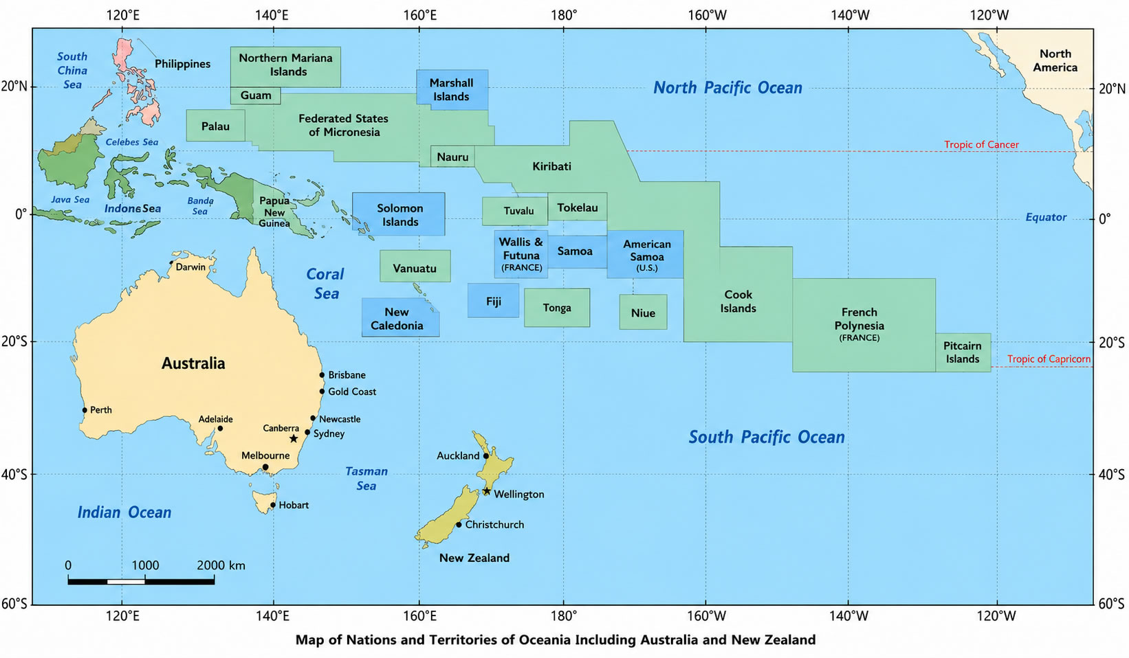
Oceania countries and territories map
Oceania country map Australia
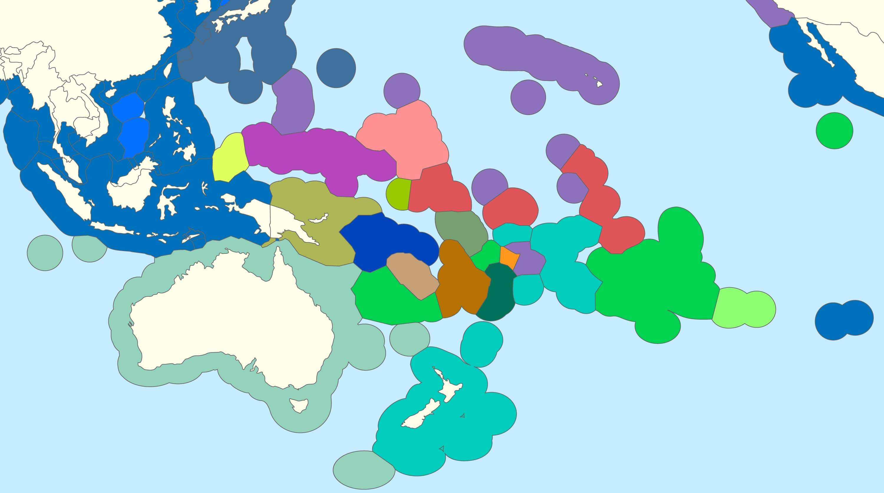
Oceania exclusive economic zones map with pacific
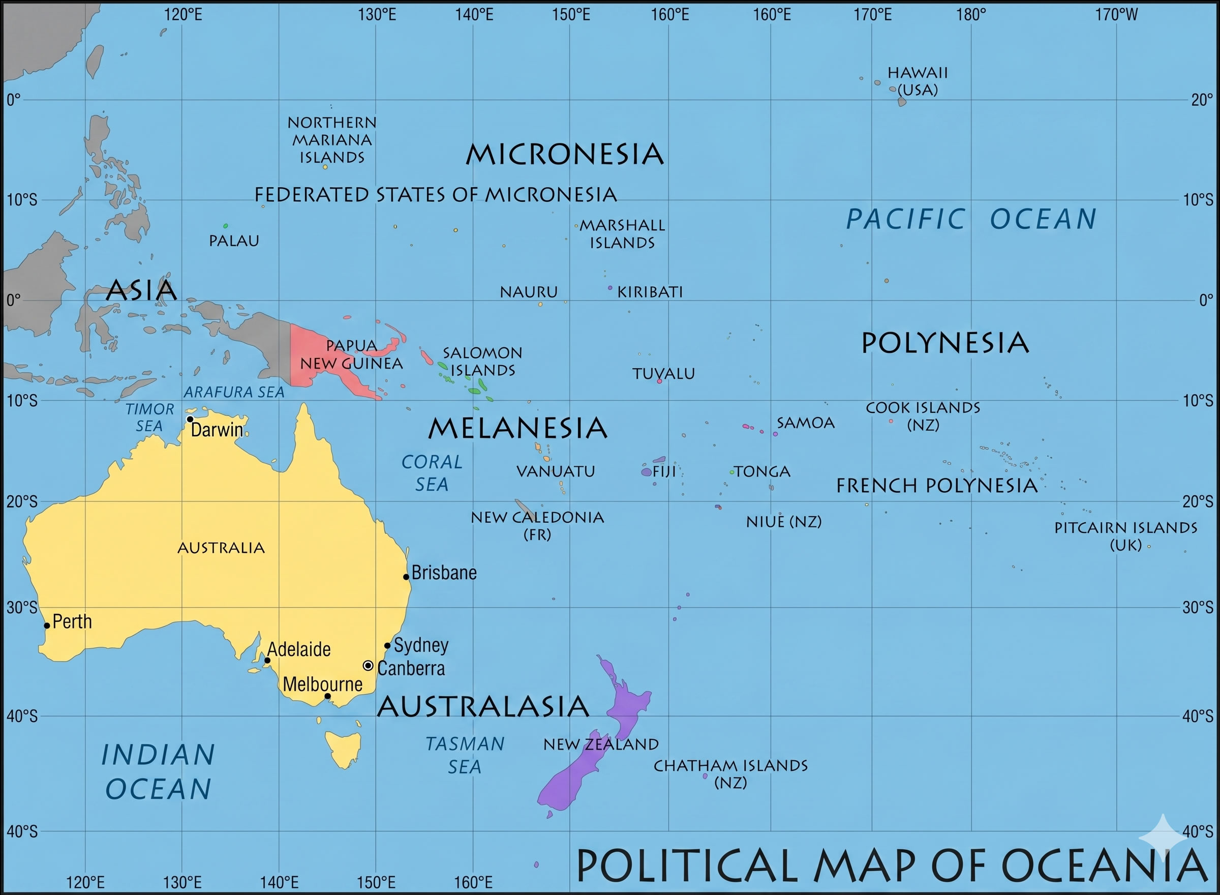
Oceania Globe view map
Feel free to explore these pages as well:
- Head of Performance Marketing
- Head of SEO
- Linkedin Profile: linkedin.com/in/arifcagrici