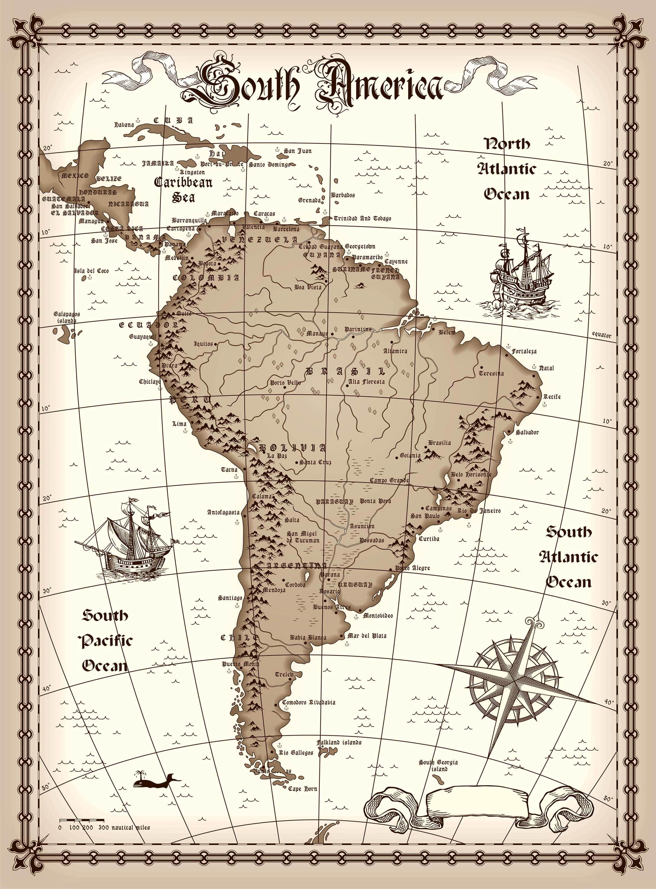
Comprehensive Maps of South America for Education and Research
Discover detailed Maps of South America including countries, borders, capitals, physical features, historical regions, and satellite imagery for education, research, and travel planning.
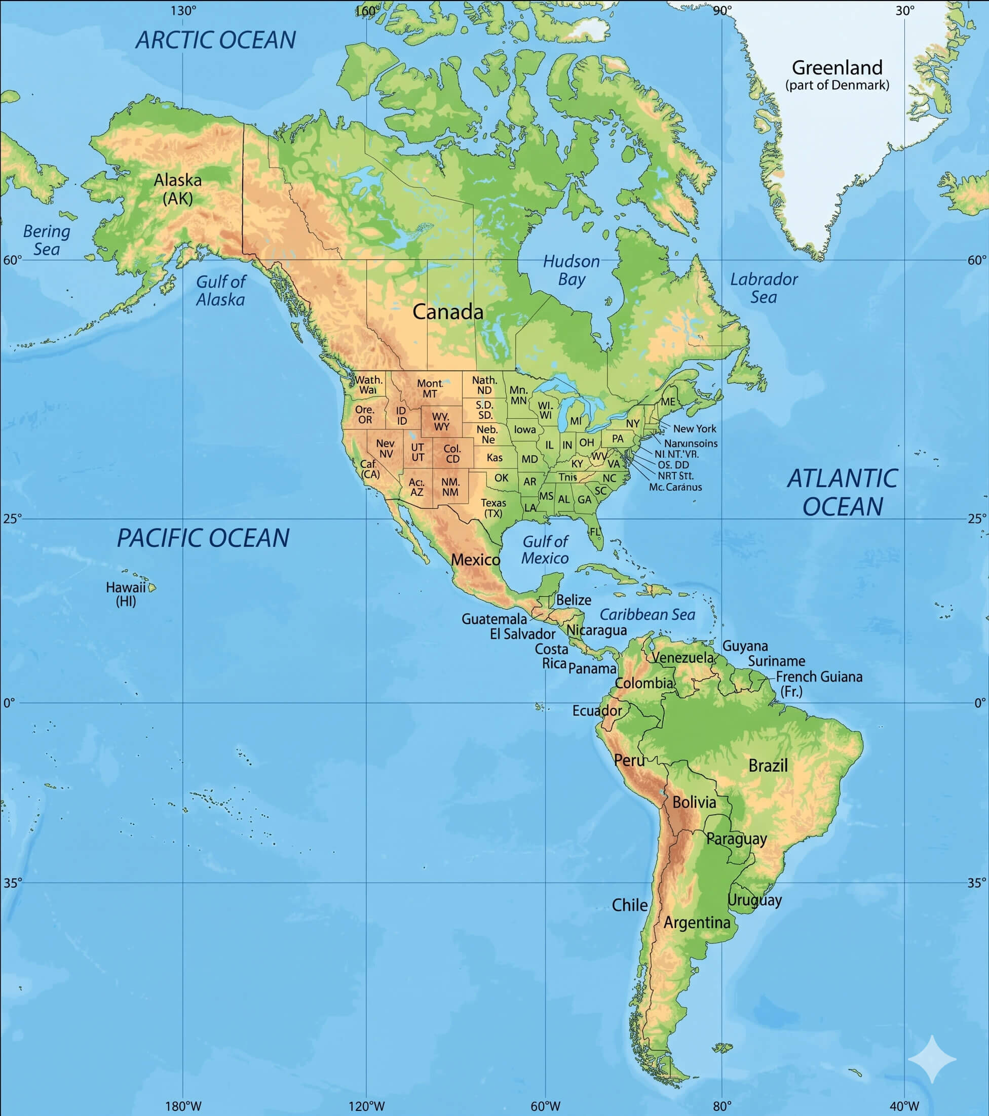
North and South America physical map
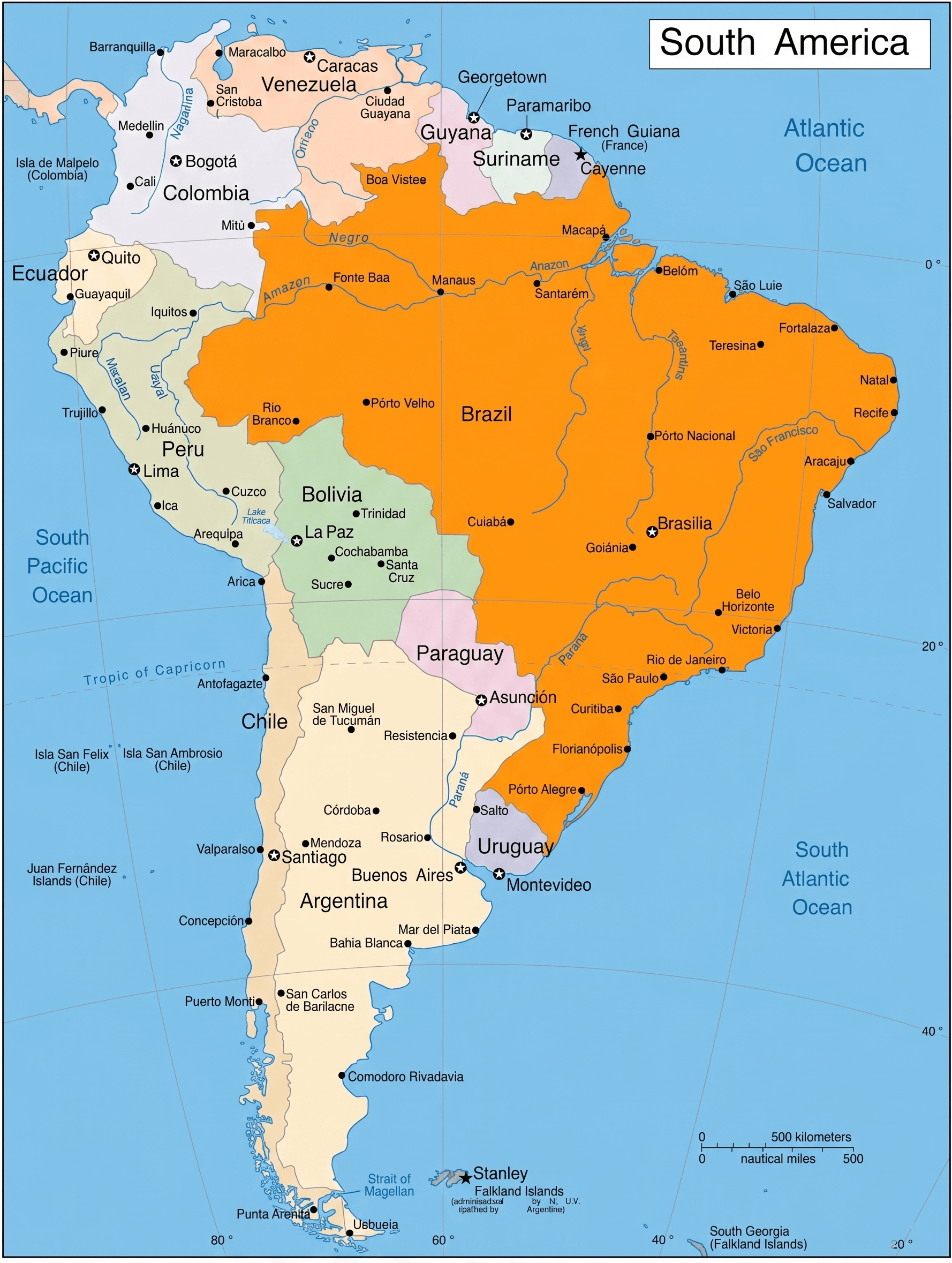
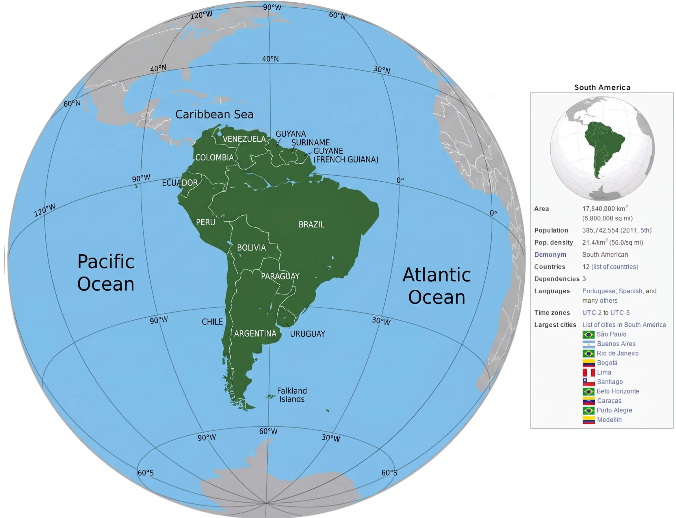
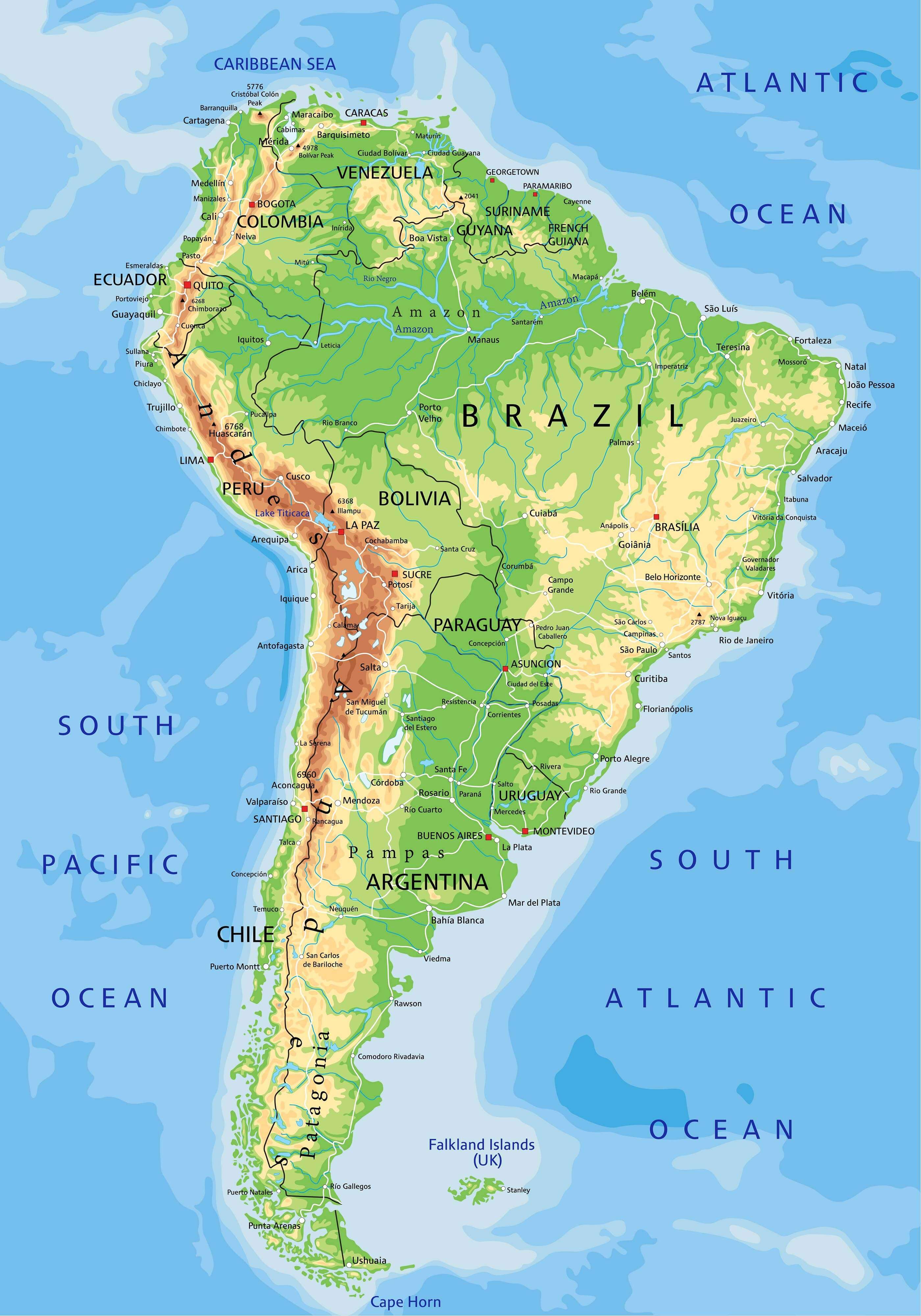
South America country map
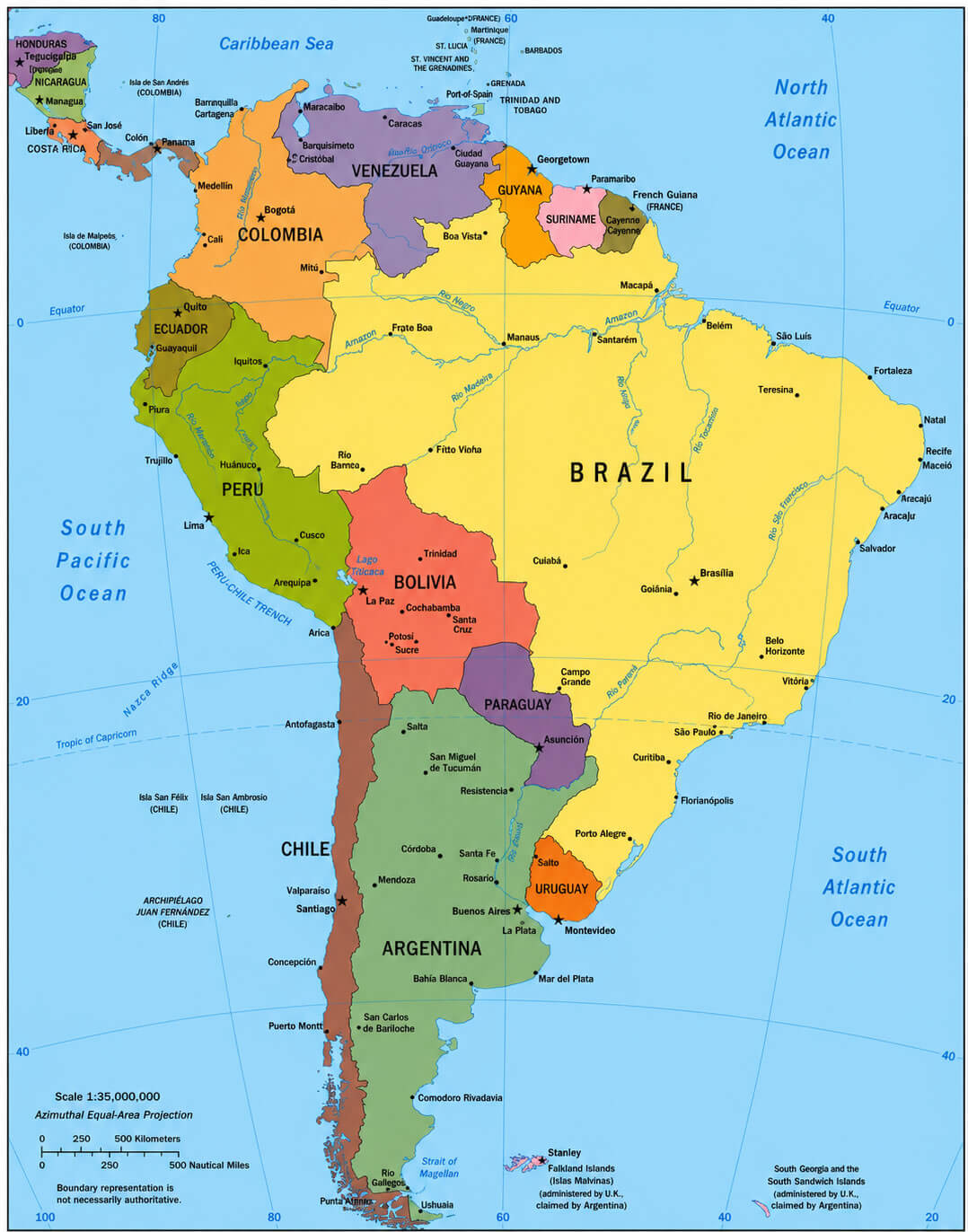
South America political map 1995
In addition to modern reference maps, this collection features valuable historical and contextual resources, including a South America historical map, South America historical geography map 1750, and a South America colonial powers map 1870, illustrating the continent’s political and territorial evolution over time. Users can also view a South America location in world map and a South America satellite relief map to better understand the continent’s position, topography, and relationship to the rest of the world. Whether you are studying history, geography, or regional development, these South America maps provide accurate and informative visual references for learners, researchers, and map enthusiasts.
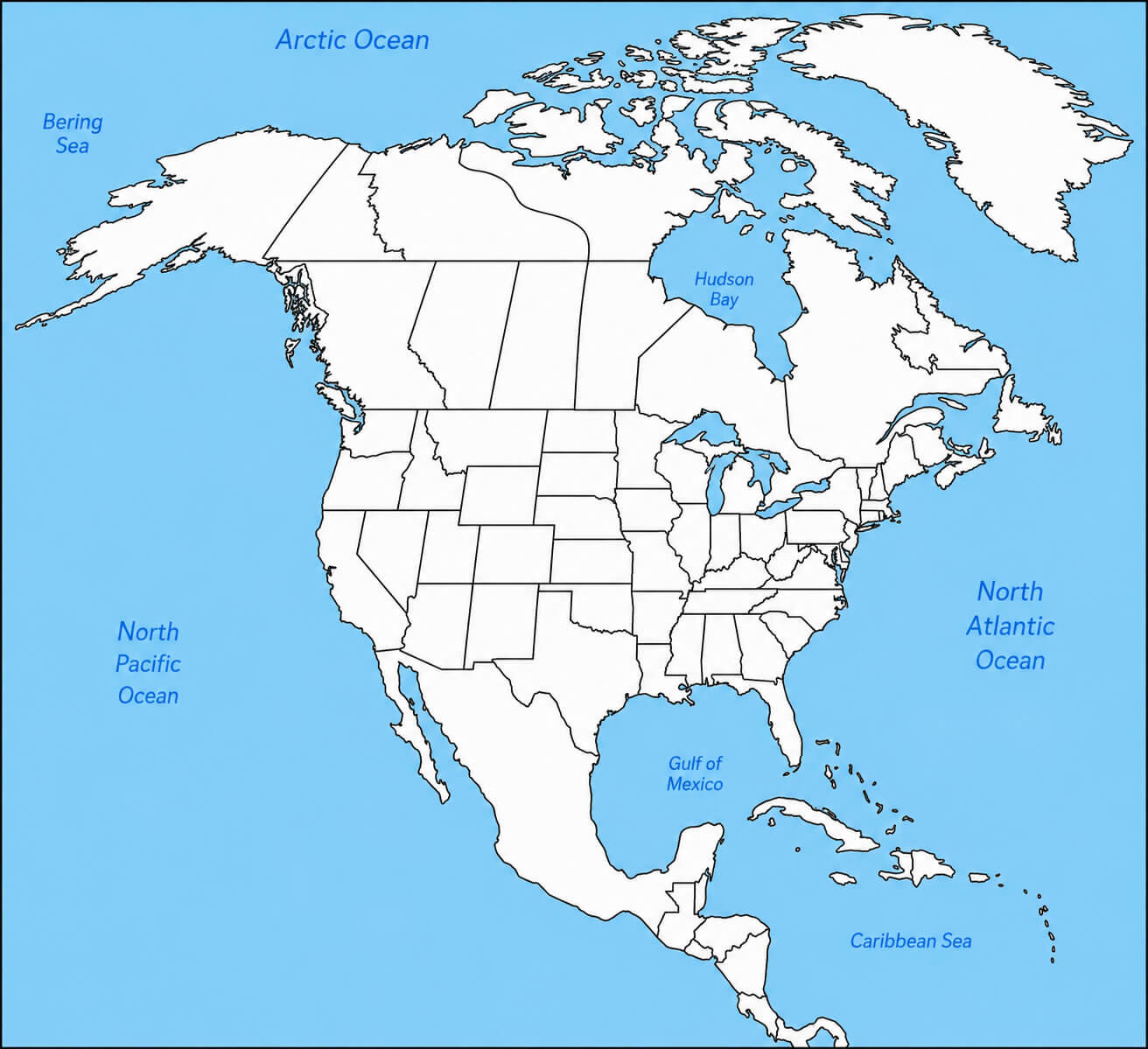
North America blank political map
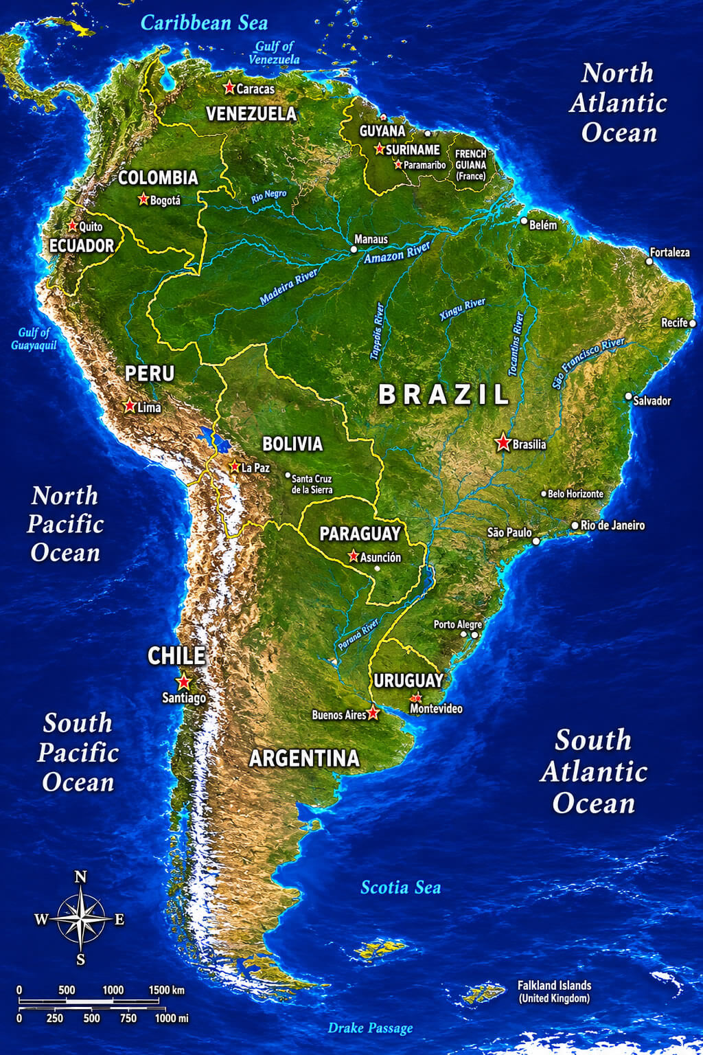
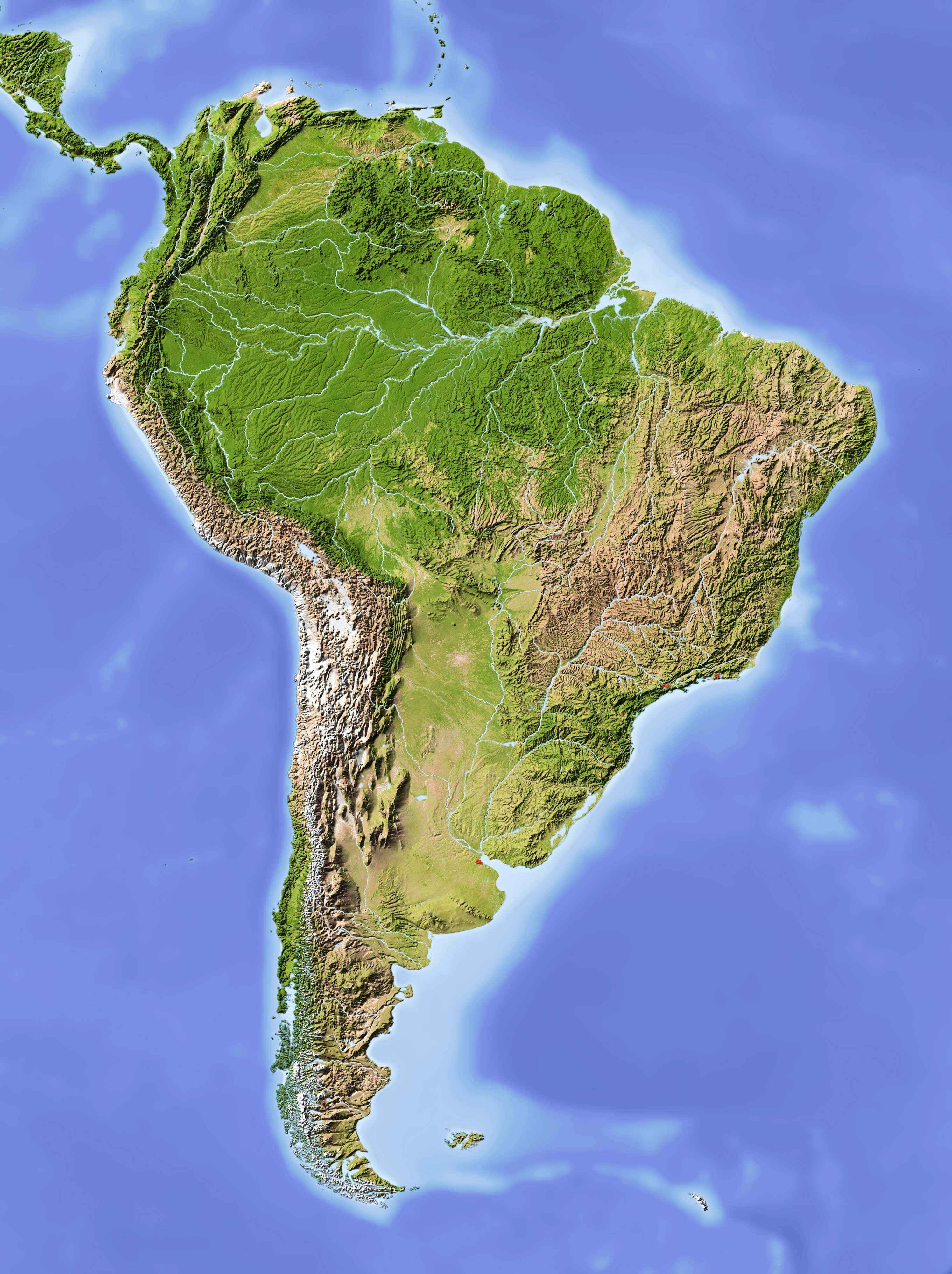
South America satellite relief map
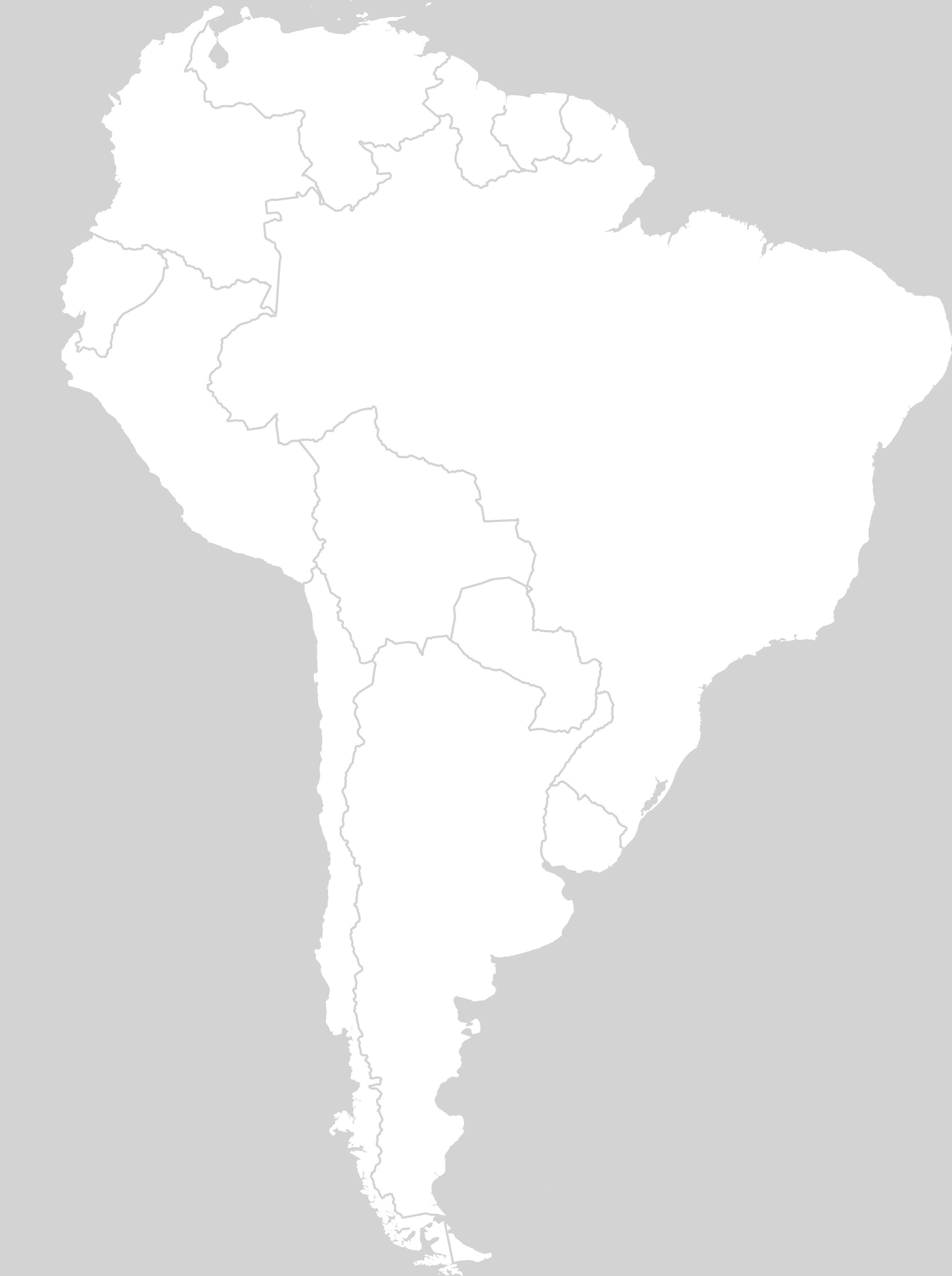
South America blank outline map
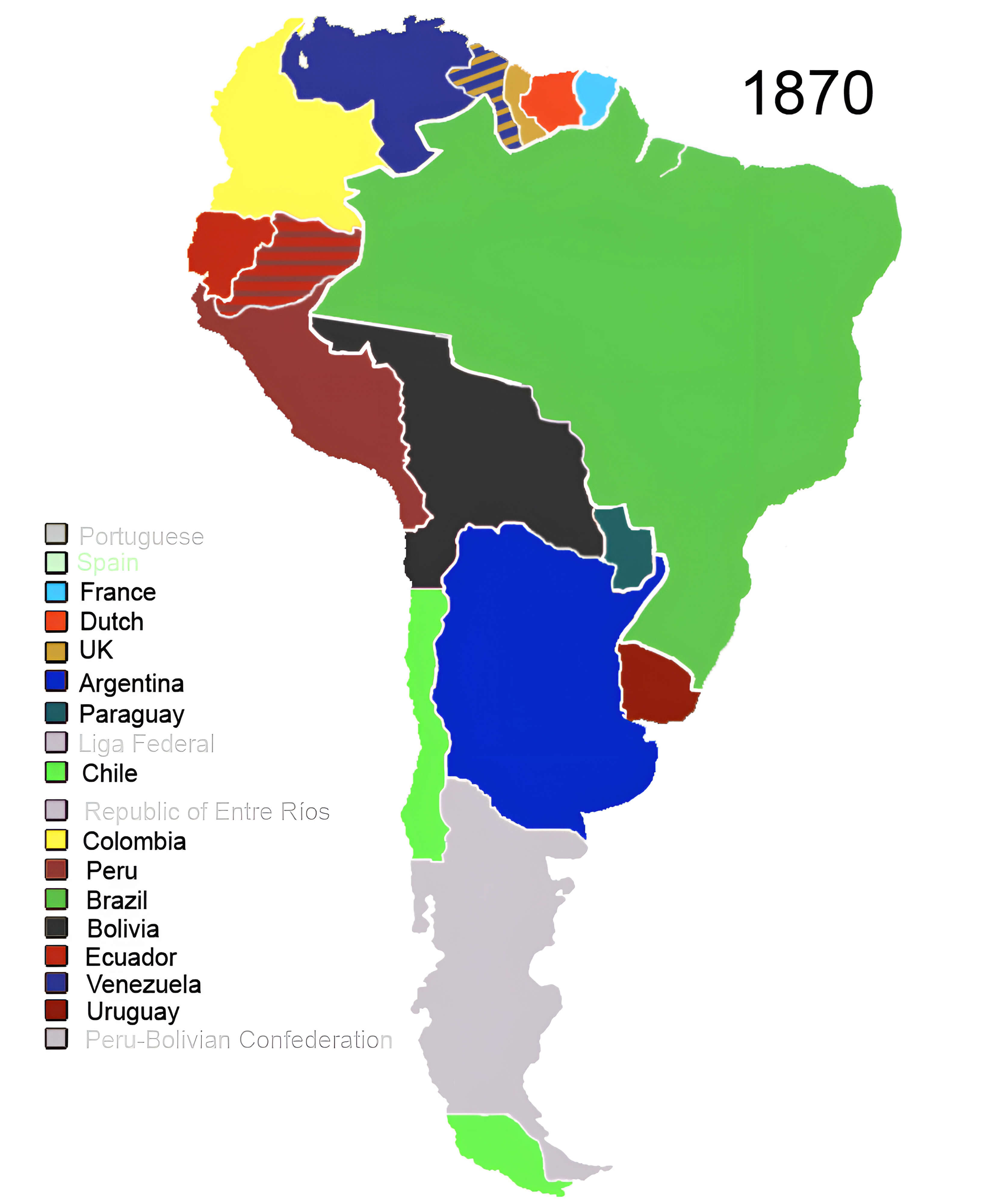
South America colonial powers map 1870
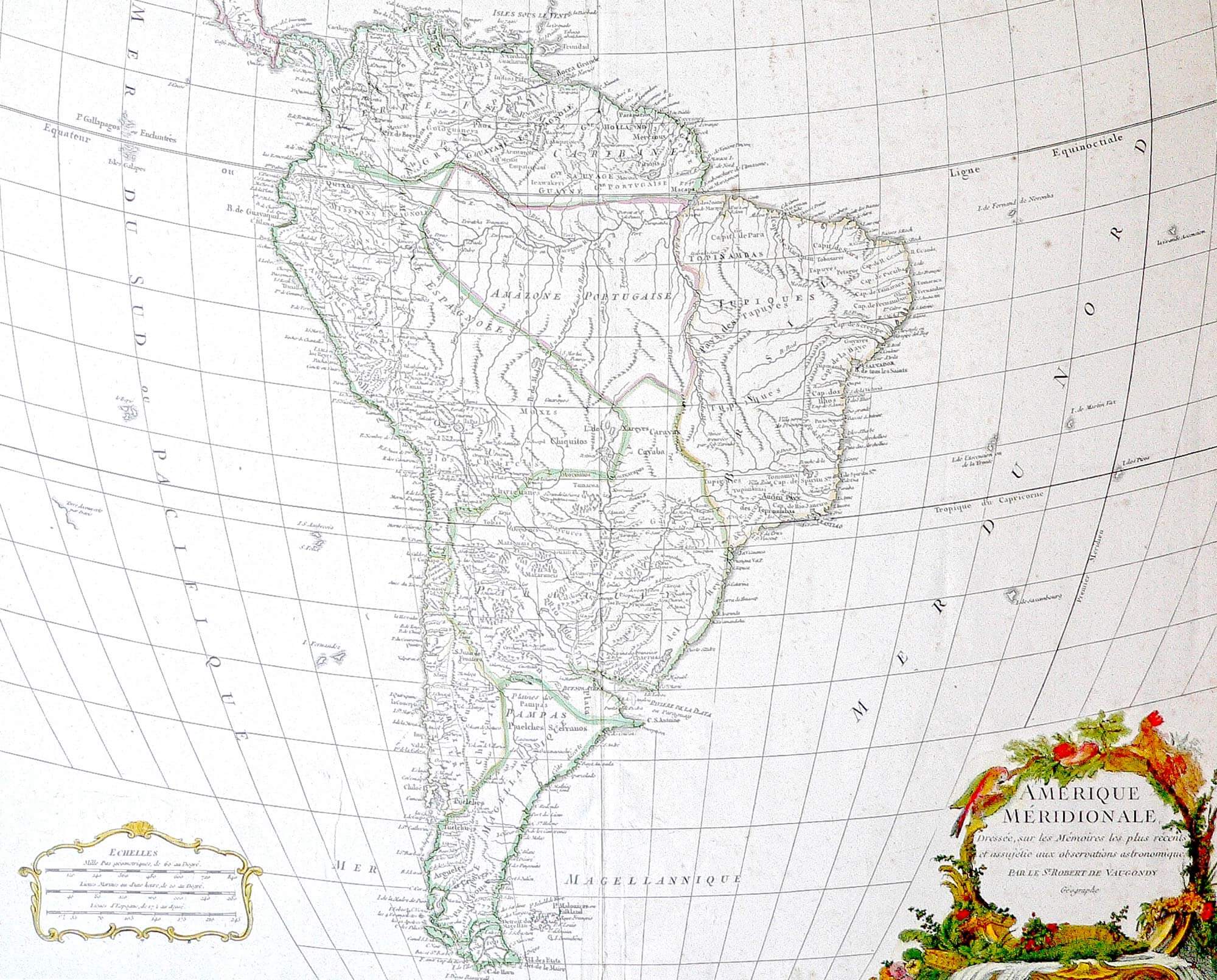
South America historical geography map 1750
South America historical map
South America location in world map
South America physical map
South America relief physical map
Feel free to explore these pages as well:
- Head of Performance Marketing
- Head of SEO
- Linkedin Profile: linkedin.com/in/arifcagrici