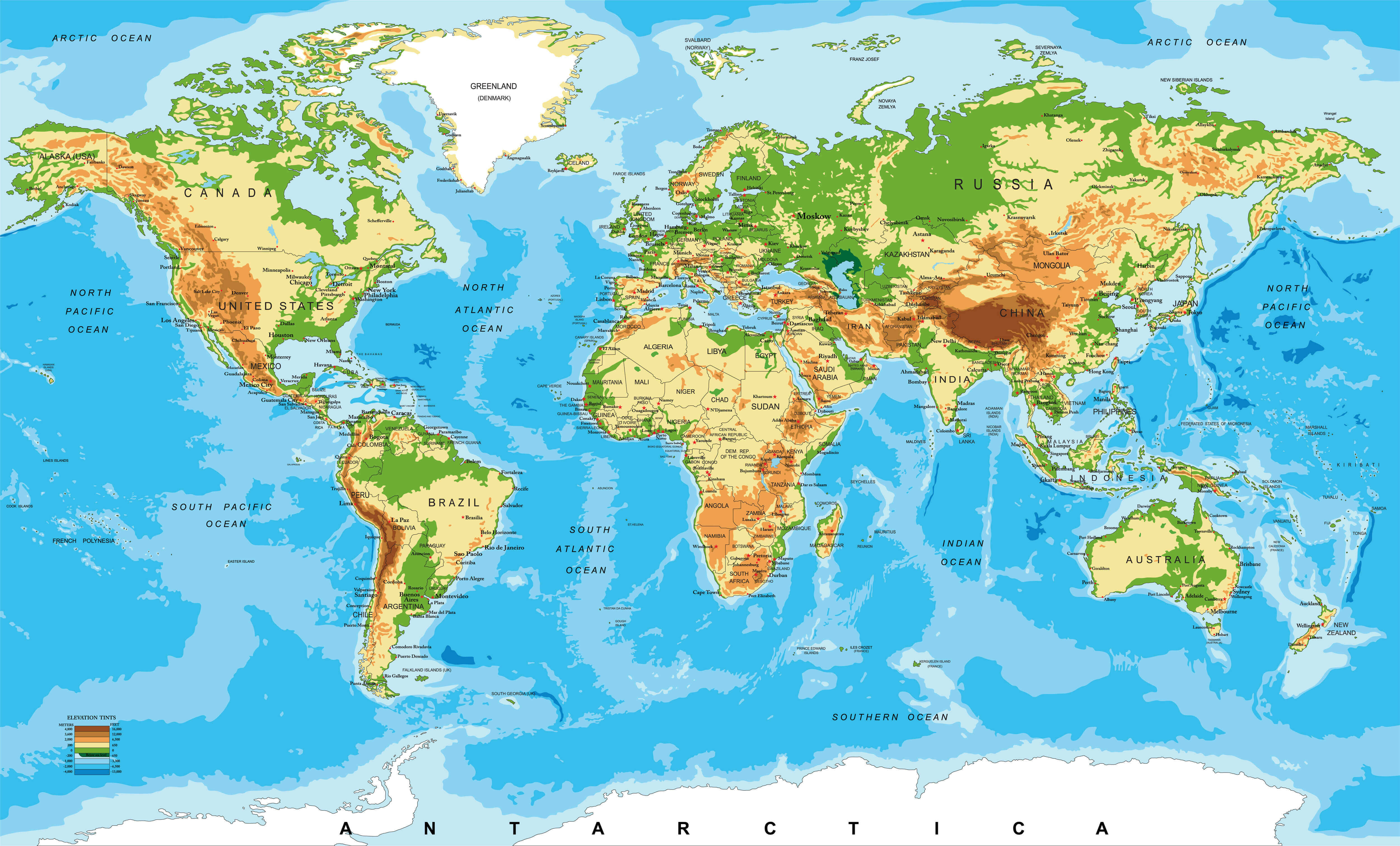
Physical Map of Africa: Terrain, Elevation, and Major Geographic Features
Discover Africa in unparalleled detail with our collection of meticulously crafted maps. From political boundaries and road networks to breathtaking physical landscapes, these maps offer a comprehensive view of the continent. Physical terrain, including the vast Sahara Desert, mountain ranges, and river systems.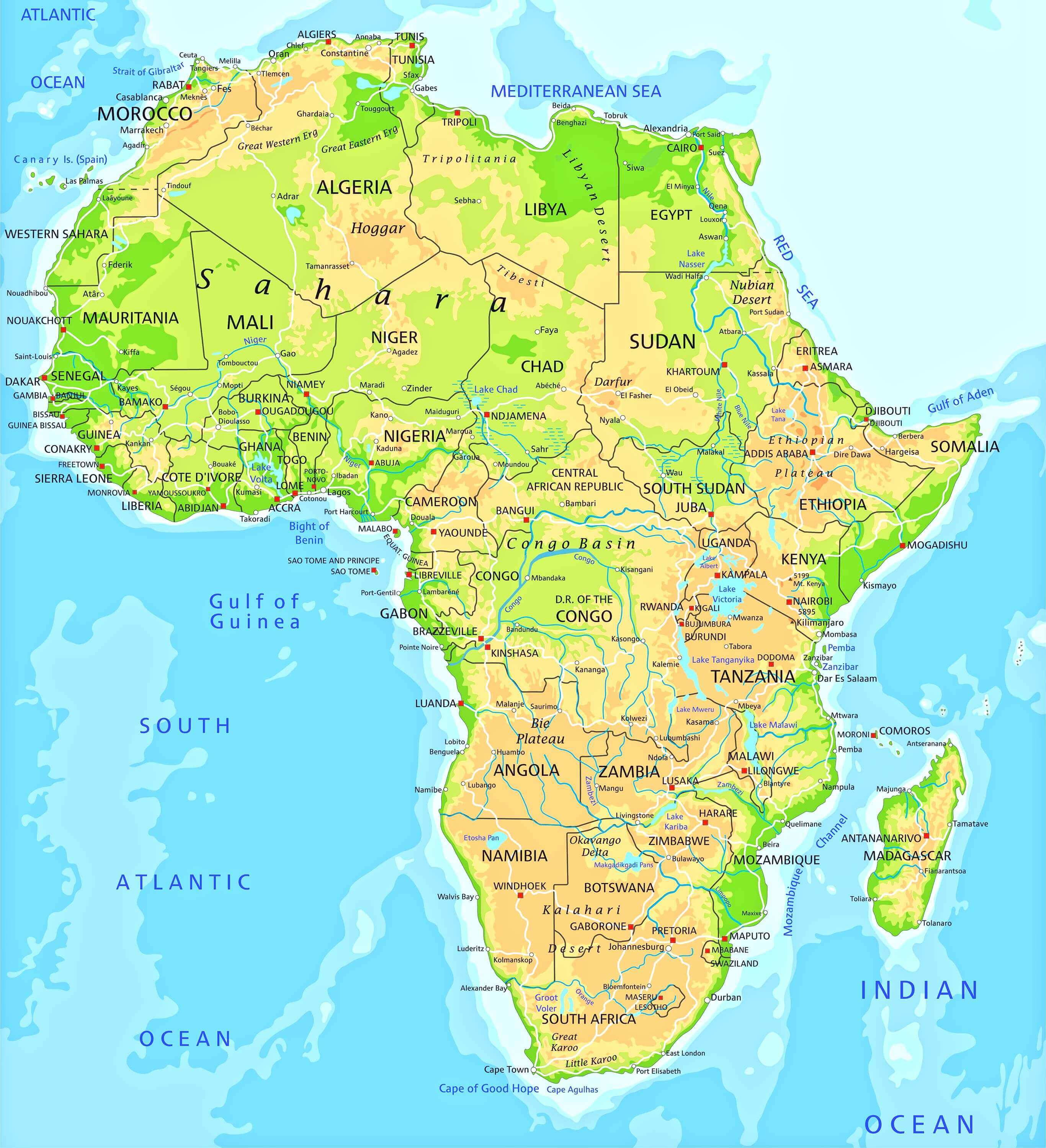
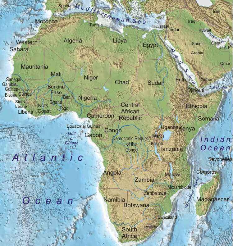
Africa Physical Map with Topography and Natural Features
Africa physical map with terrain, mountains, rivers, lakes and natural features.Let this beautifully crafted physical map take you on a journey across Africa's breathtaking landscapes. Run your fingers across the golden waves of the Sahara Desert, then follow the life-giving paths of the Nile and Niger rivers as they carve through the continent. Every shaded elevation tells a story - from the snow-capped peaks of Mount Kilimanjaro to the vast savannah plains that stretch as far as the eye can see.
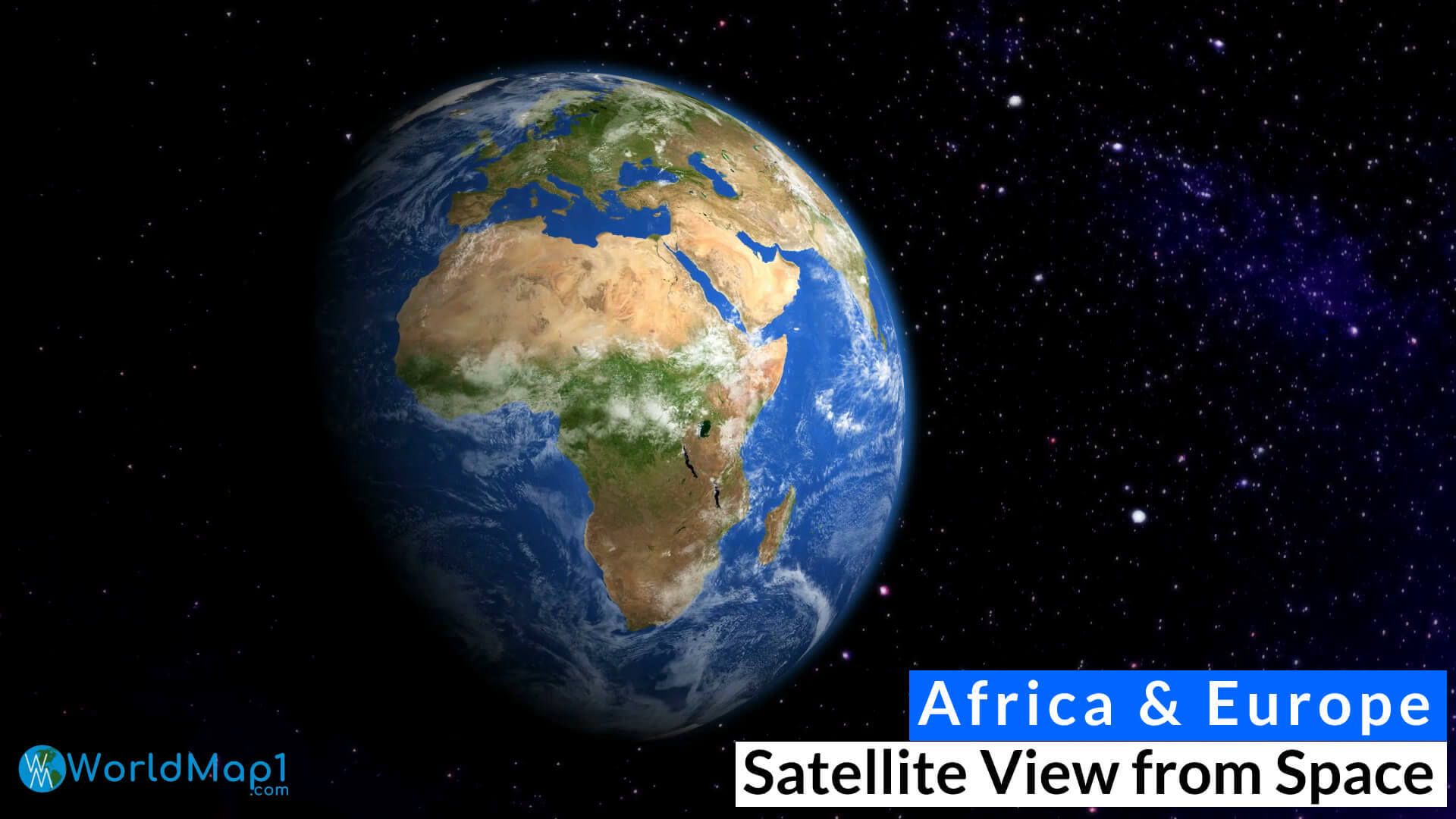
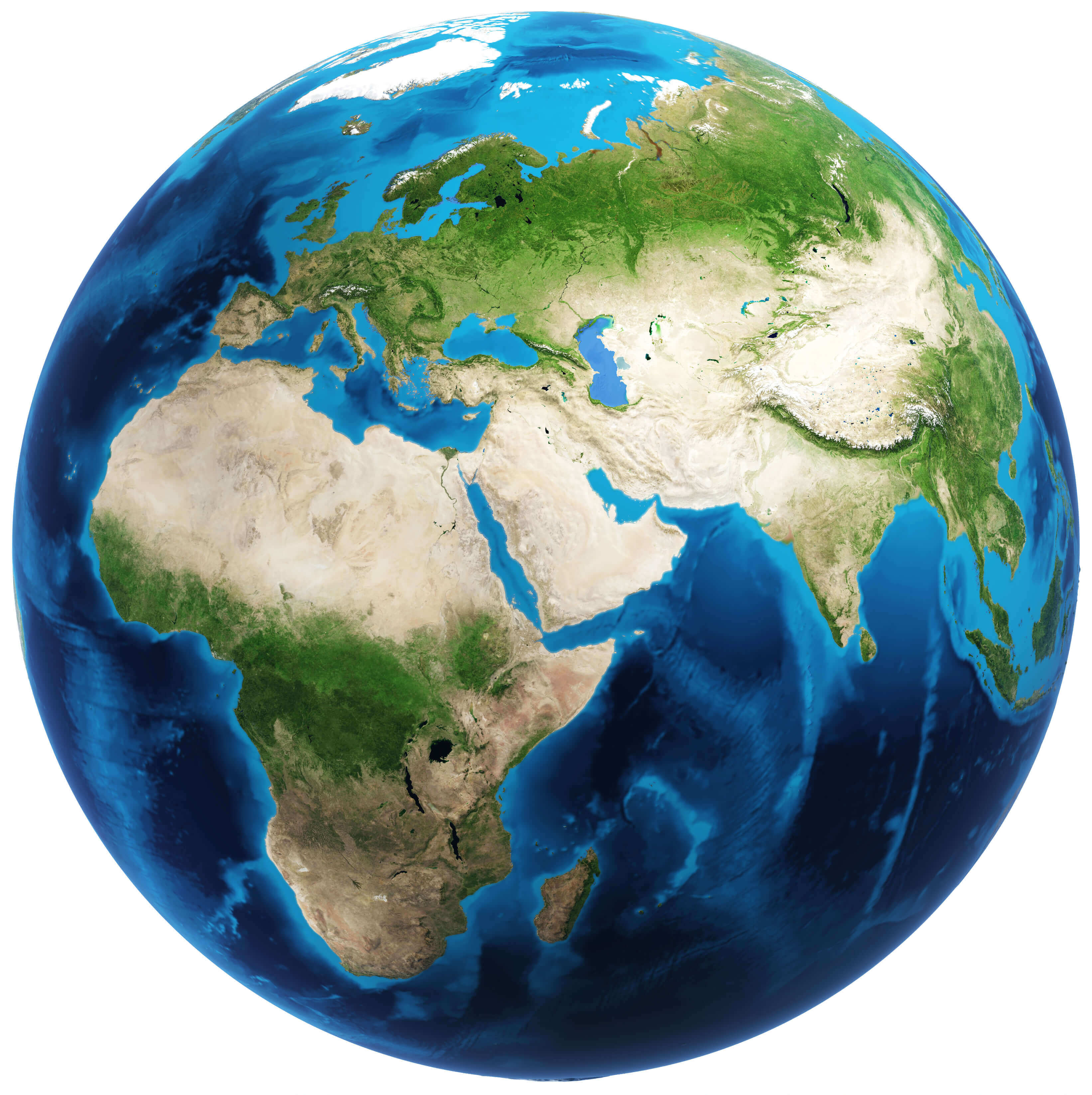
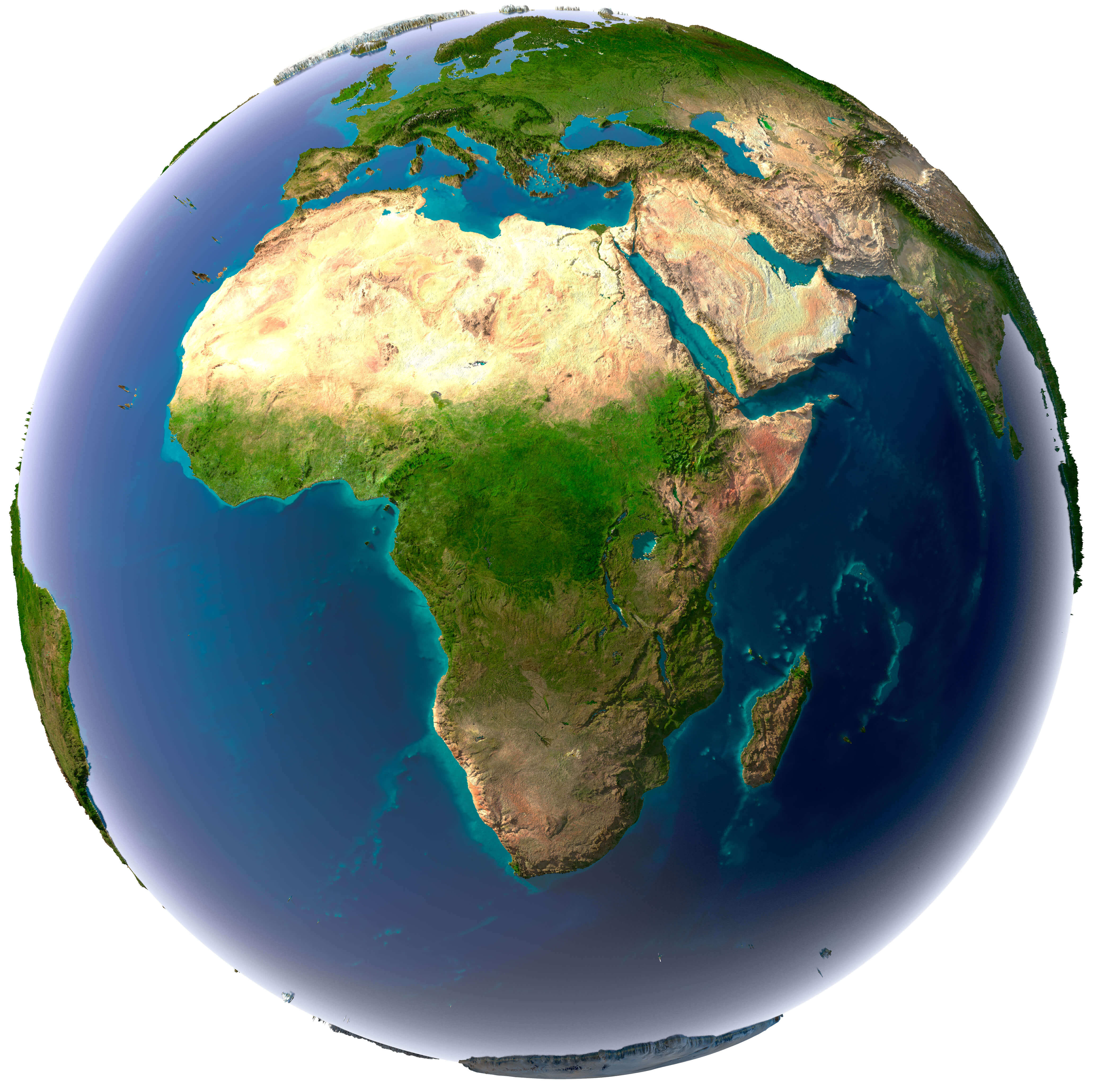
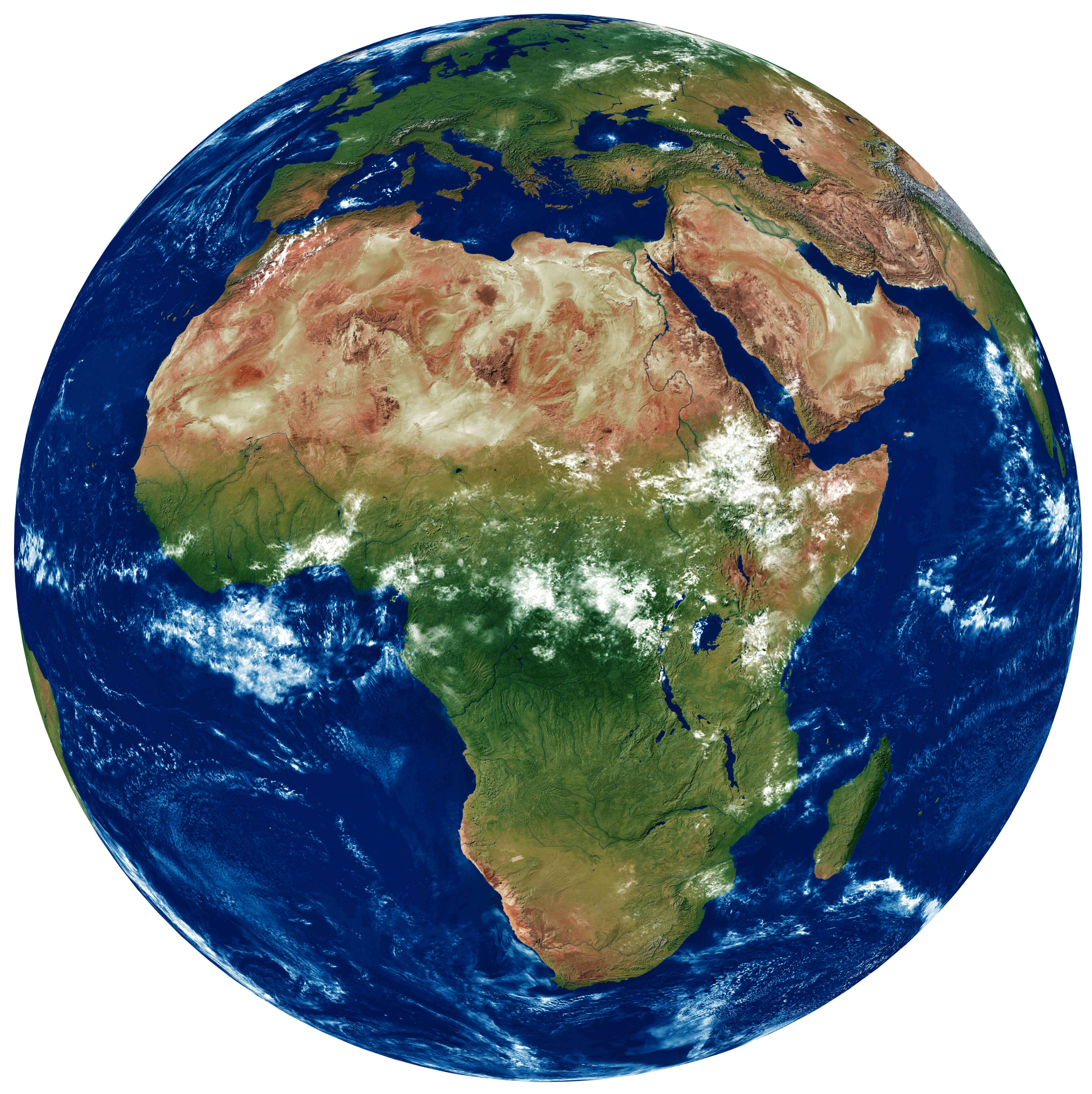
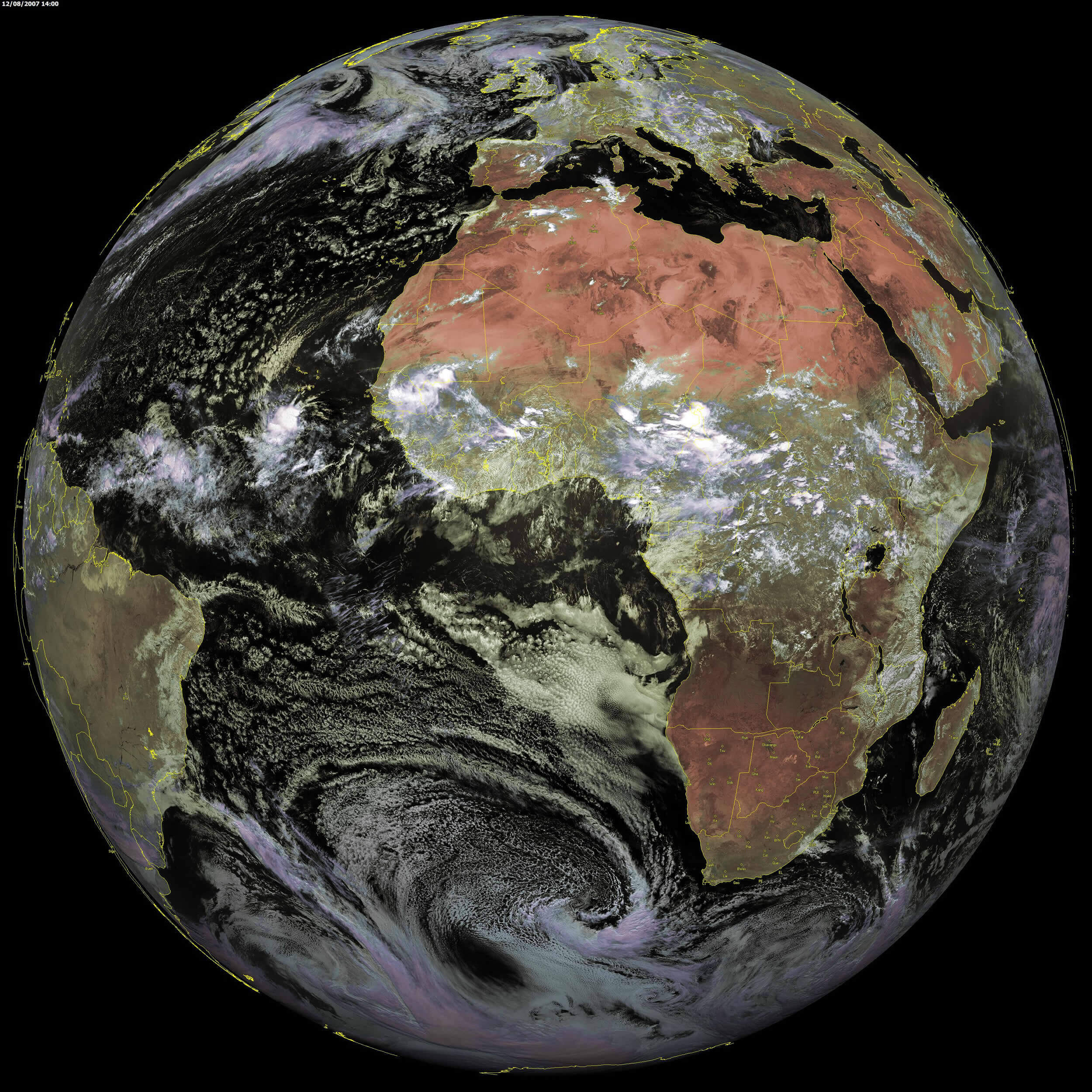
Africa and Surrounding Regions – High Relief Earth View
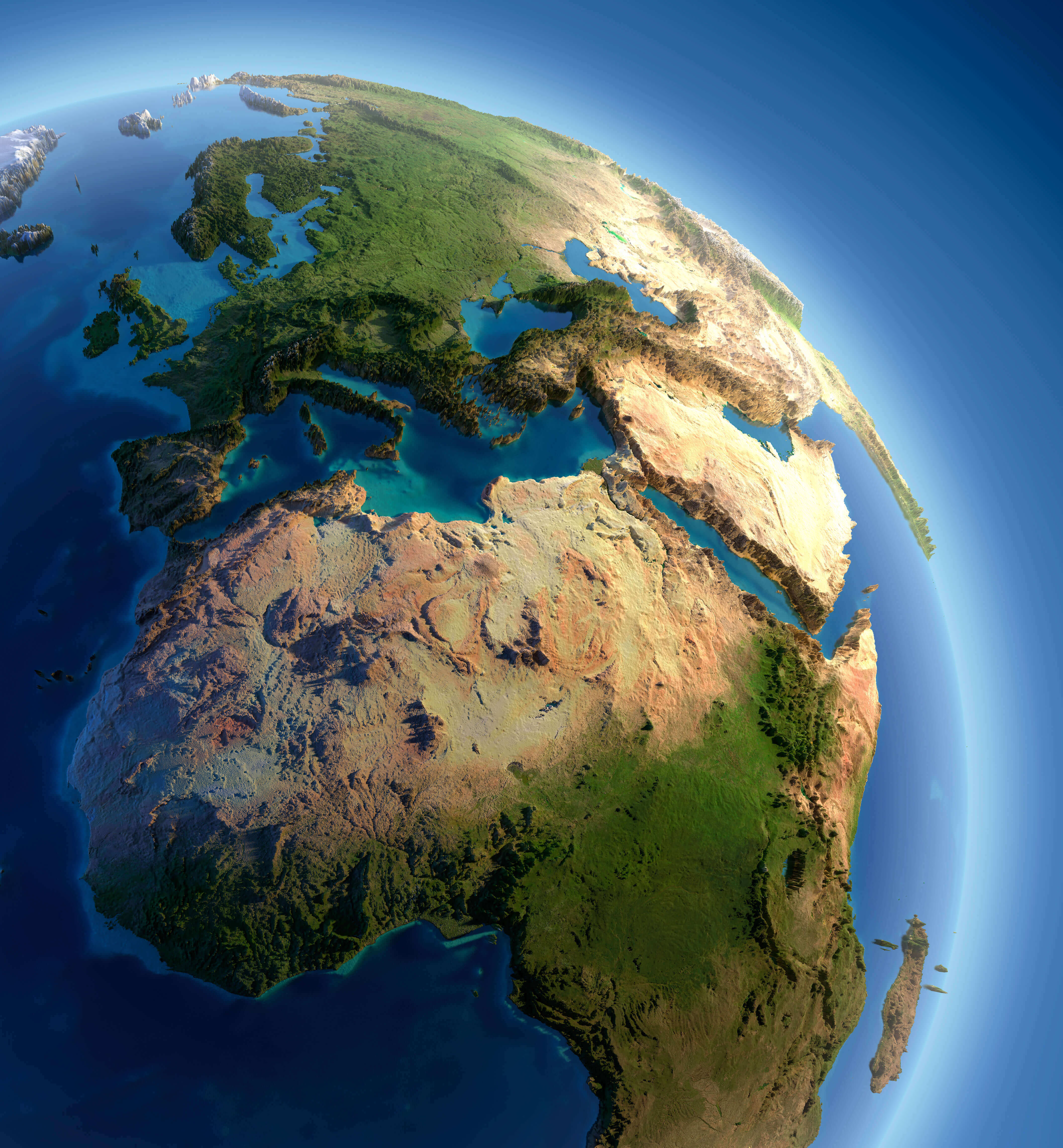 Africa Earth view map with terrain relief of Europe, Middle East and Madagascar.
This breathtaking 3D map brings Africa's dramatic landscapes to life like never before. Watch as the Sahara's golden dunes ripple across the screen, then plunge into the lush greenery of equatorial rainforests that pulse with life. The mighty Nile carves its ancient path through the terrain while the Great Rift Valley's jagged contours tell stories of our planet's evolution.
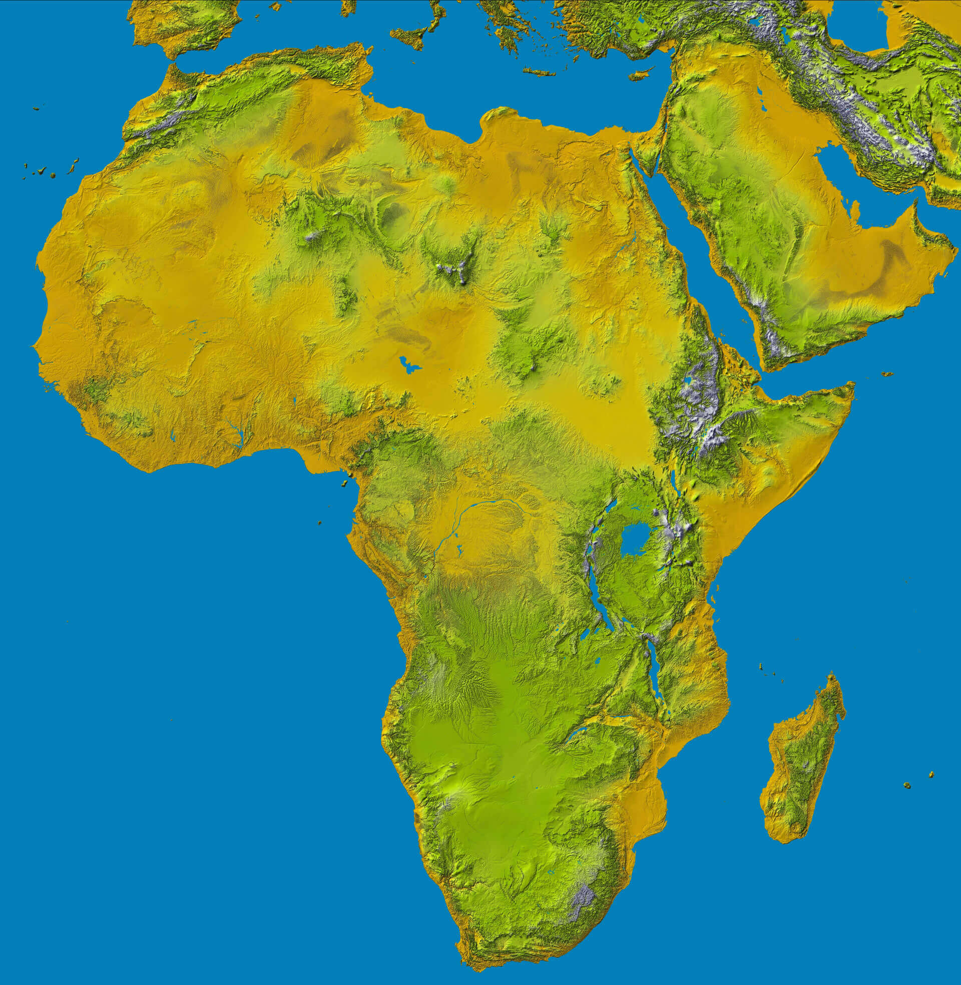
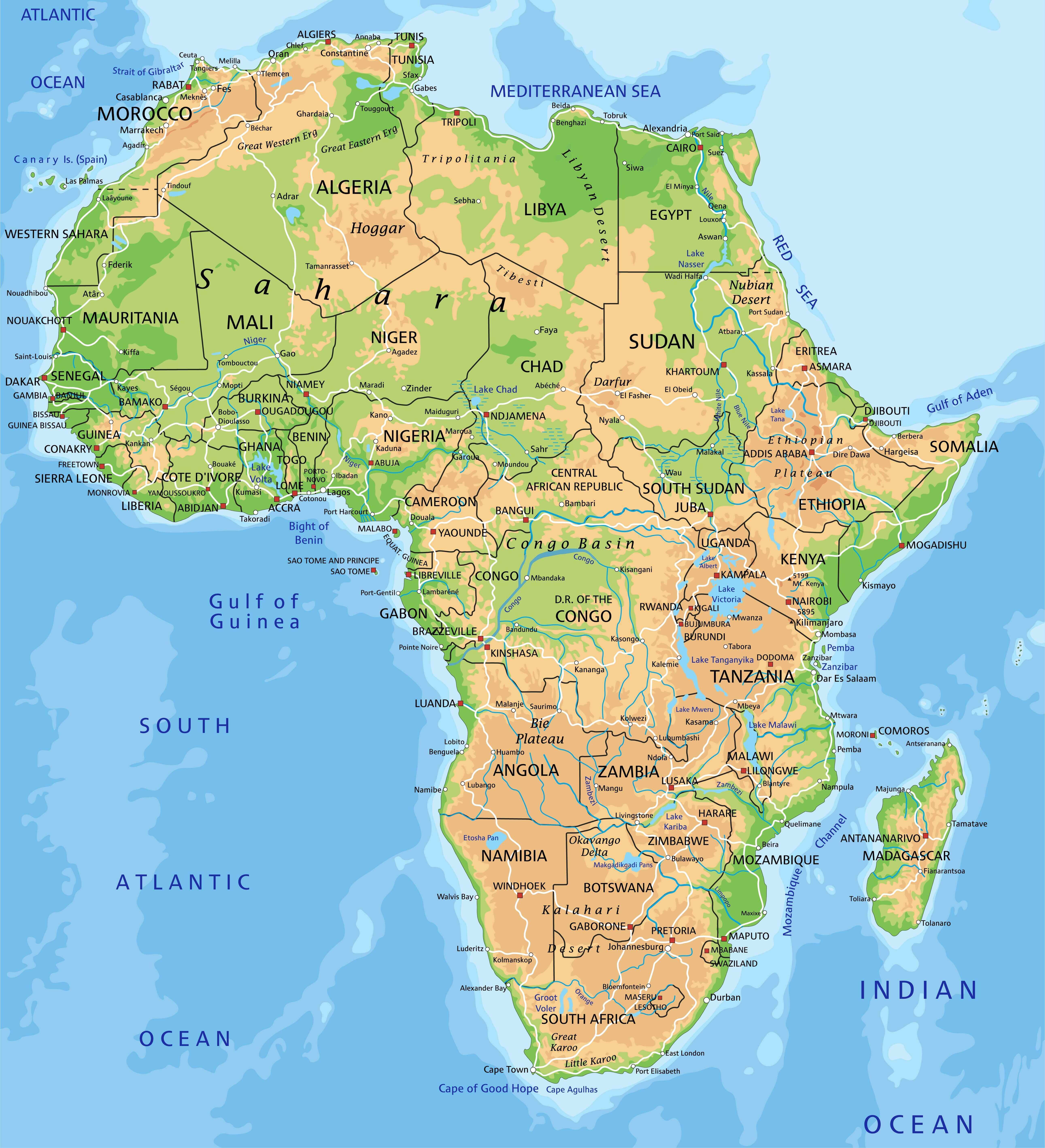
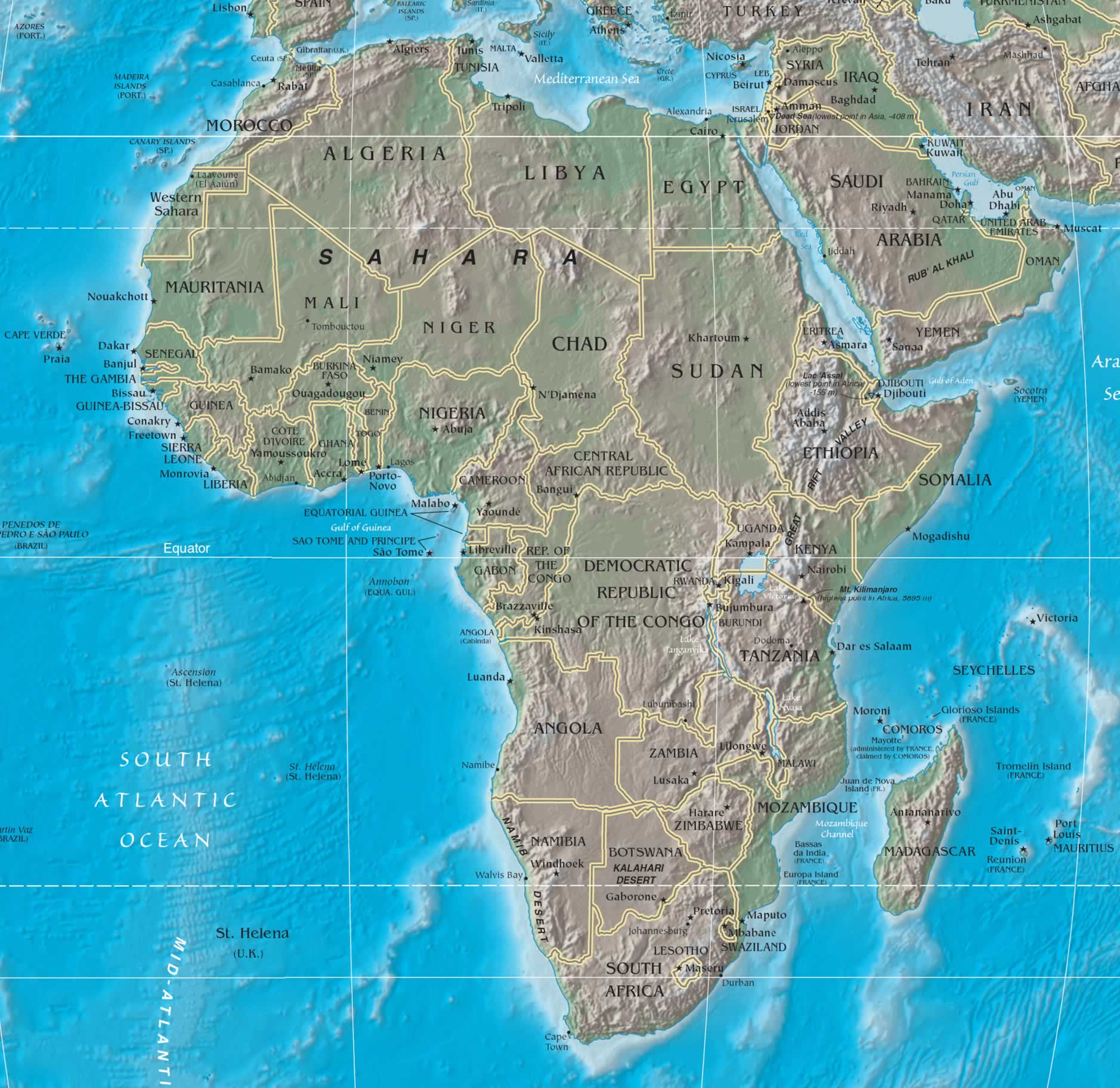
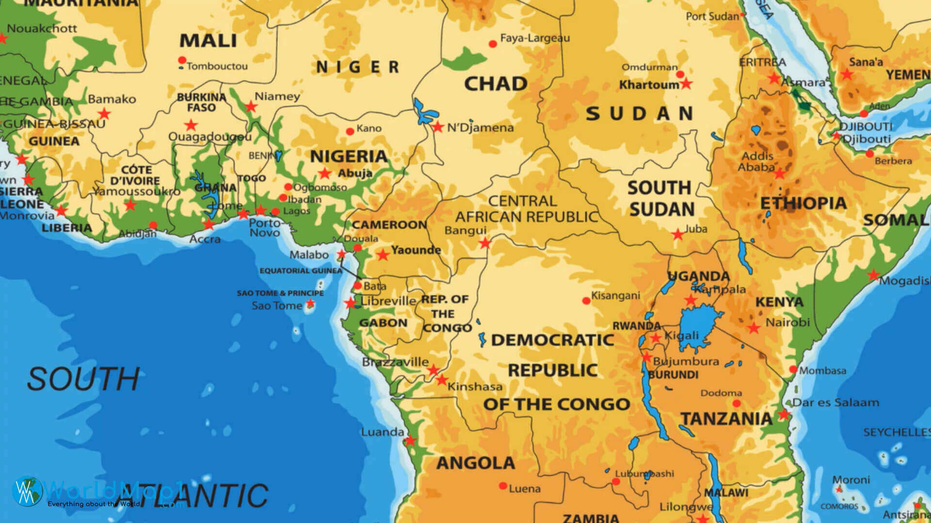
Physical Map of Africa with Mountains, Rivers and Terrain Features
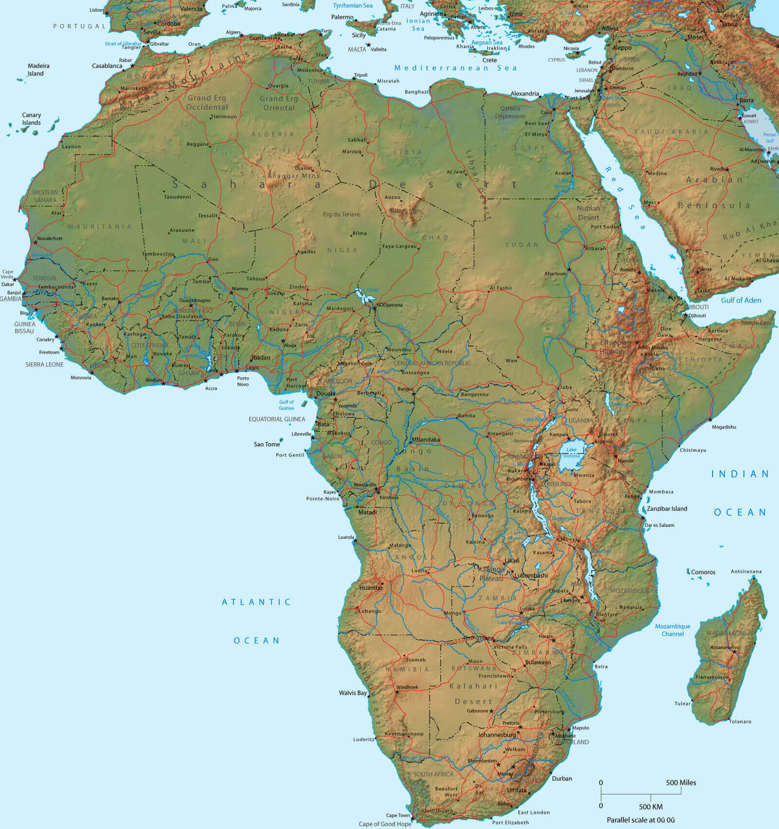 Detailed physical map of Africa with rivers, mountains, deserts, and terrain
This vibrant physical map invites you to explore Africa's breathtaking natural tapestry - where the Sahara's golden sands whisper ancient secrets and the Congo River pulses with life. Trace your fingers along the continent's dramatic spine, from the Atlas Mountains' rugged peaks to the Great Rift Valley's sculpted contours. Marvel at how the Nile's timeless waters carve through deserts while the Kalahari's rust-colored plains stretch endlessly under African skies.
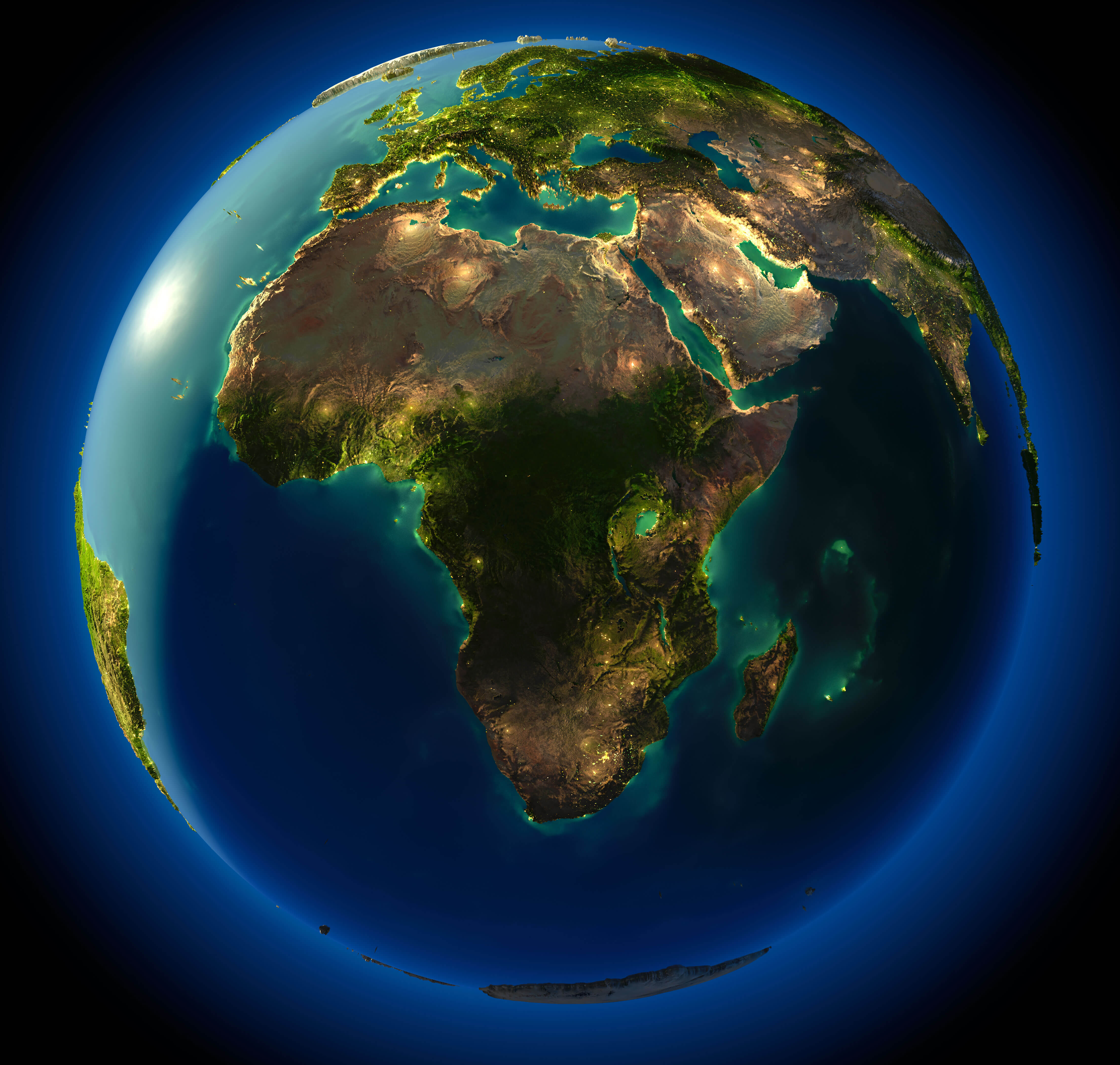
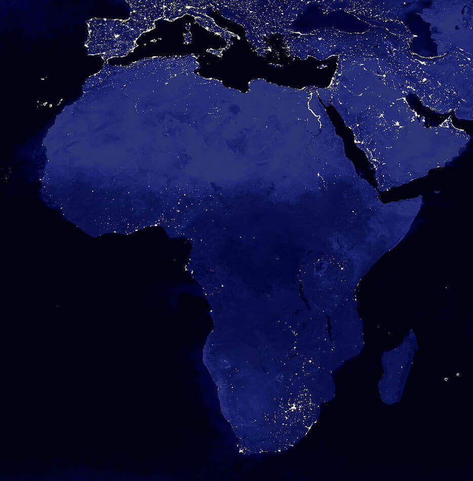
Africa Earth night map
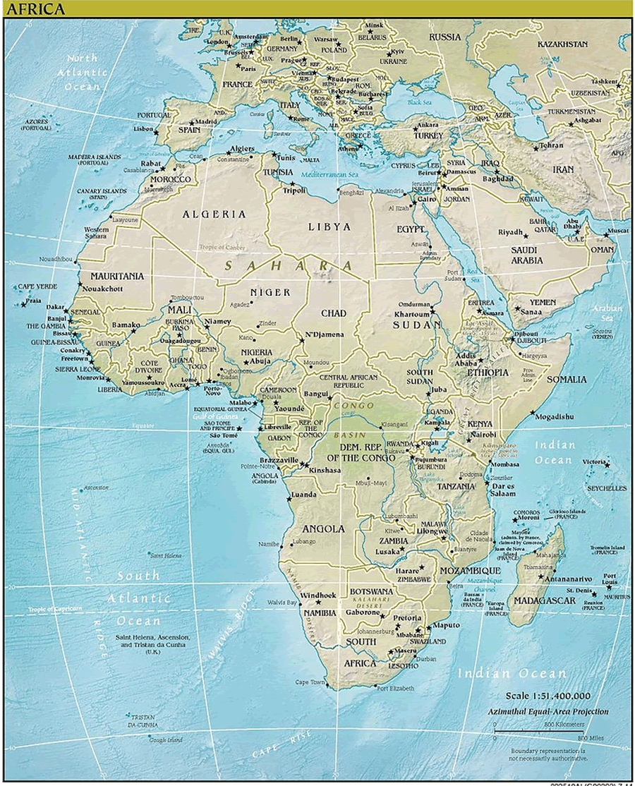
Africa physical map of world
Topography map of Africa
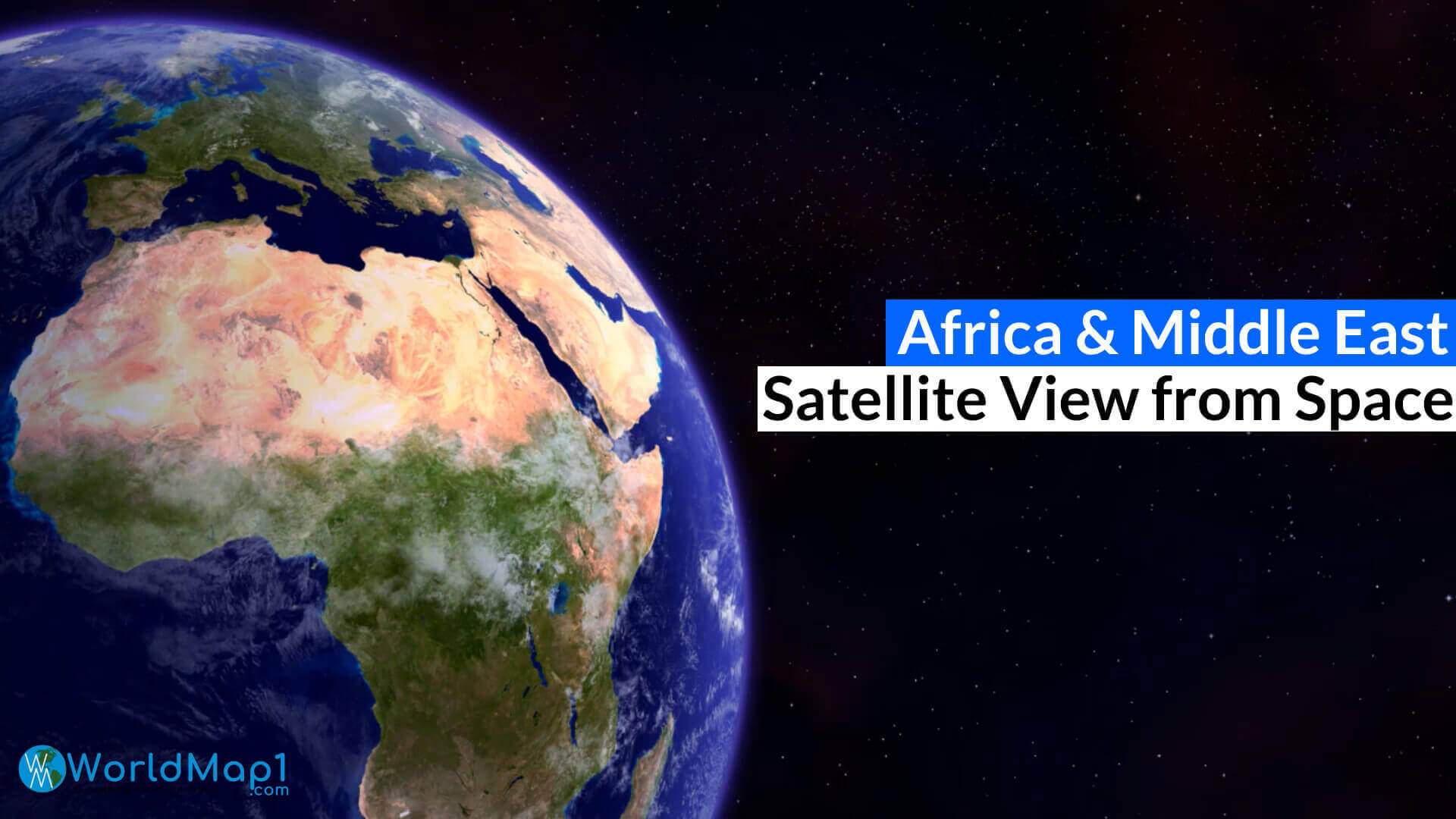
Africa and Europe satellite image
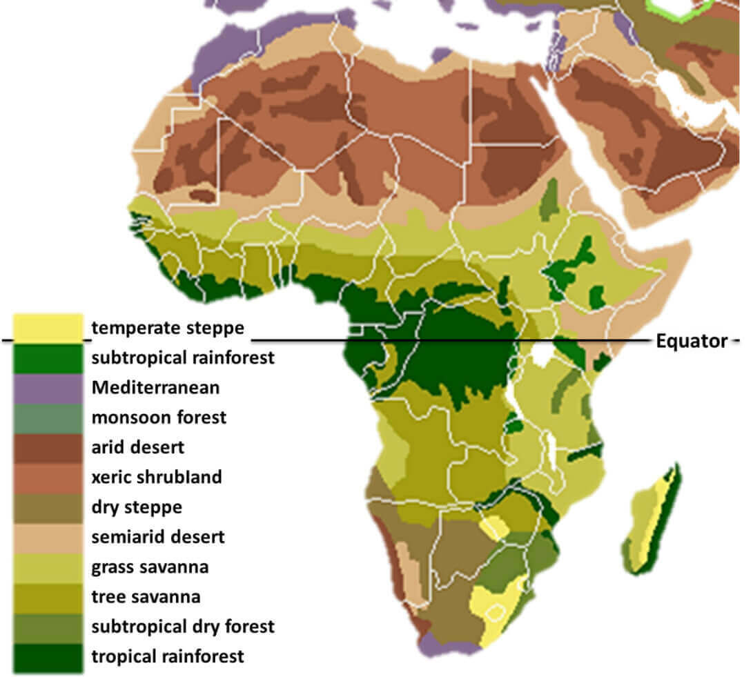
Vegetation map of Africa
High detailed Africa physical map
Africa Earth map with europe and Asia
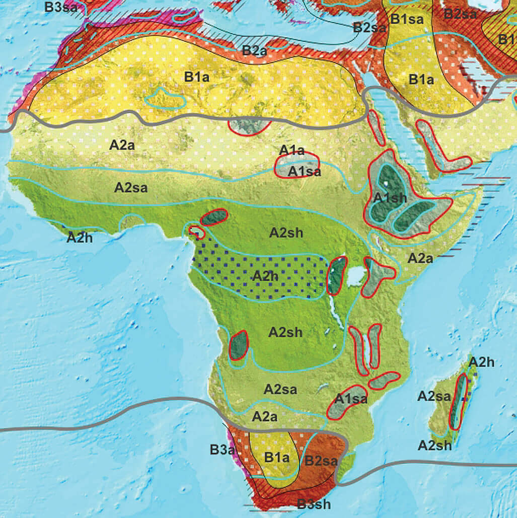
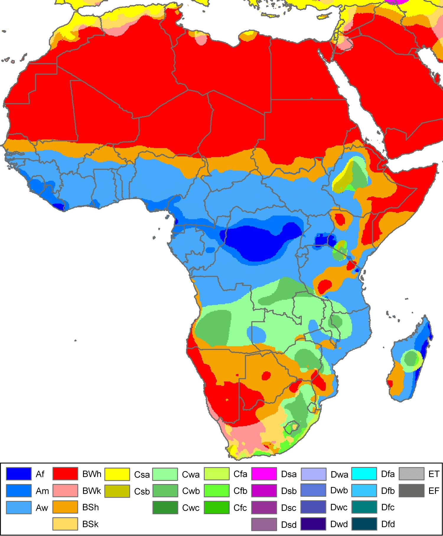
Africa climate map
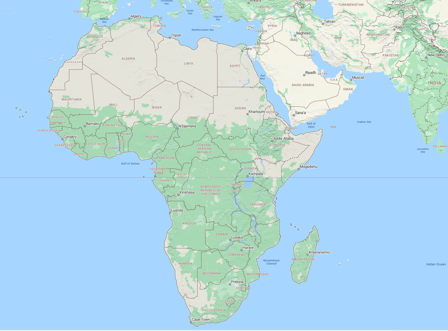
Africa continent map
Africa detailed topography of continents
Africa Earth air routes map

Africa Earth satellite map
Africa europe and middle east from space
Africa koppen map
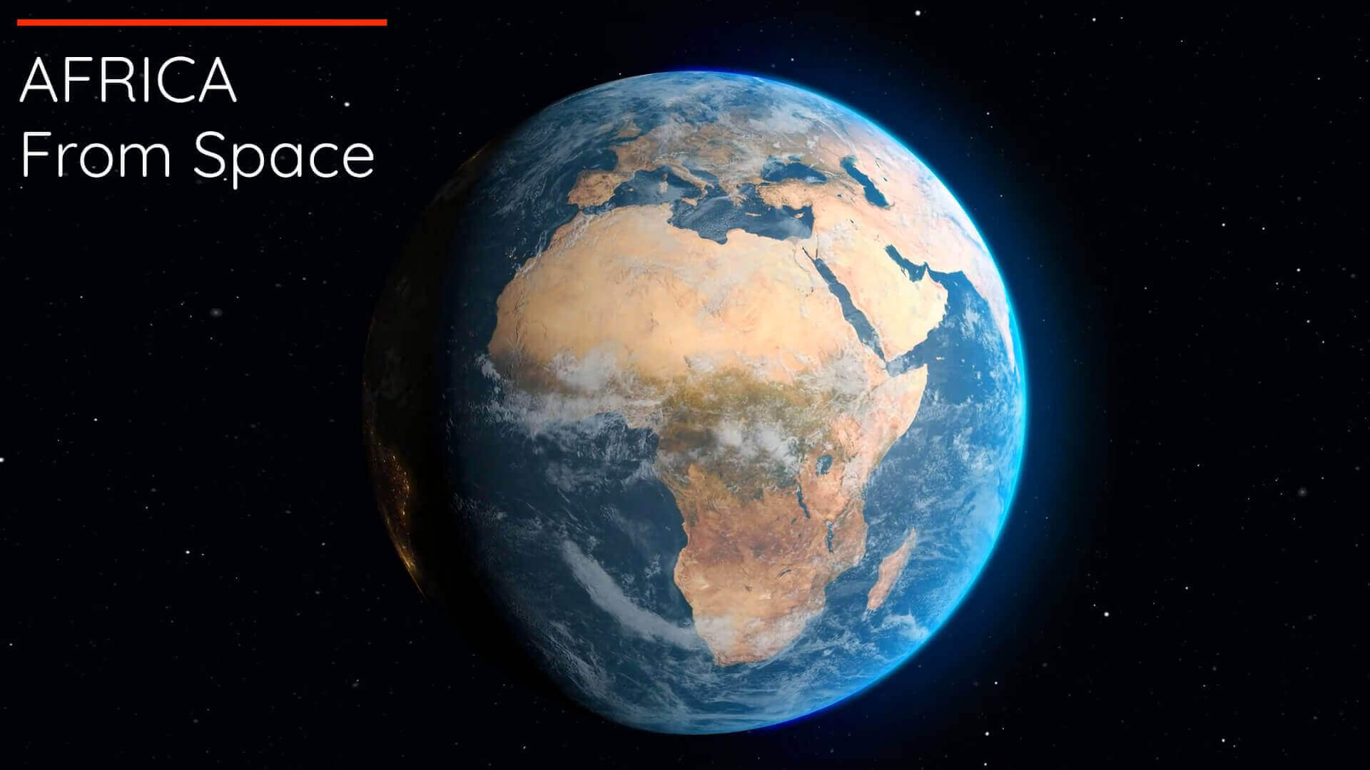
Africa map at night from space
Africa physical map with atlantic ocean
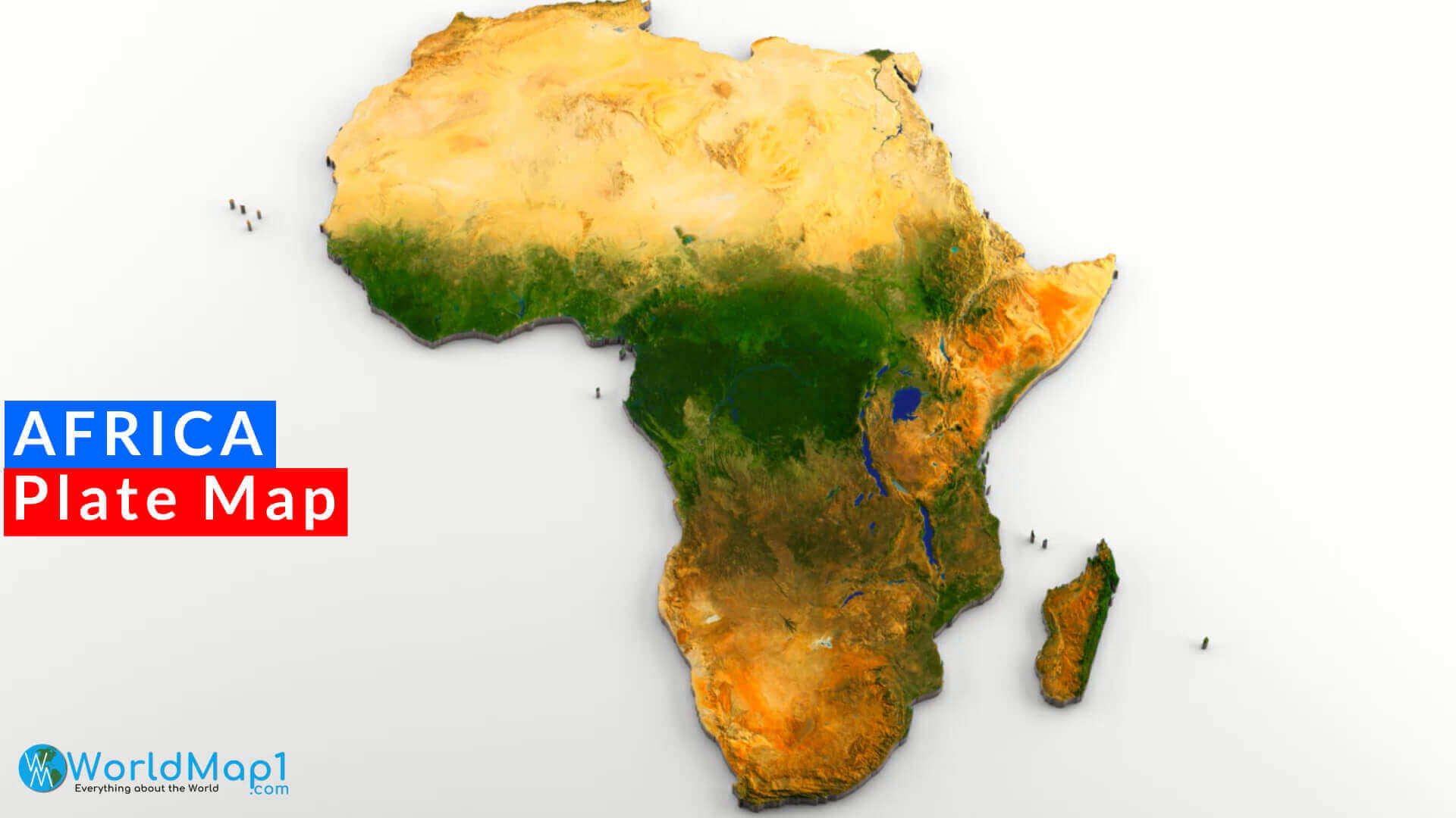
Africa plate map
Africa relief map
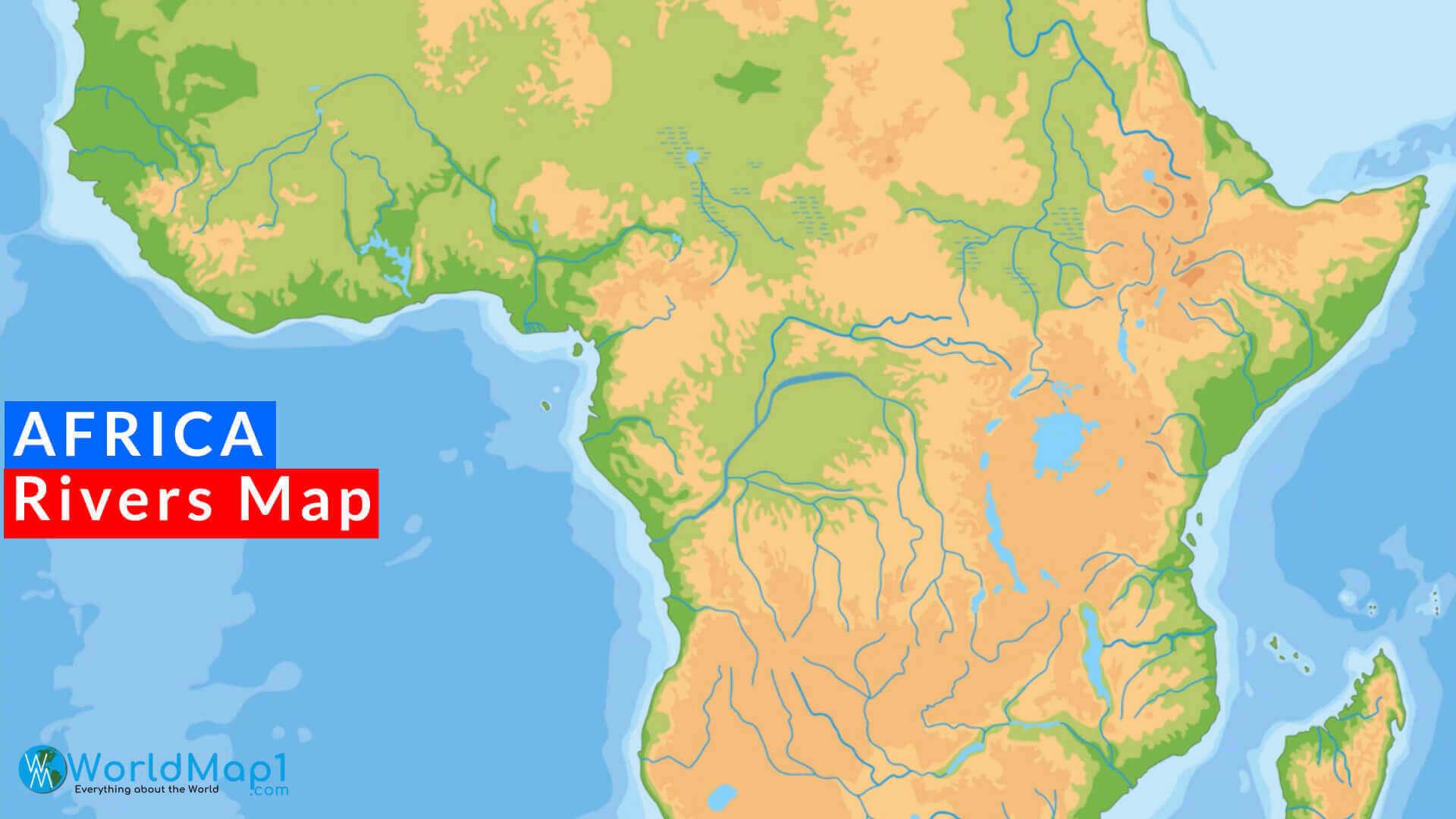
Africa rivers map
Africa satellite image map
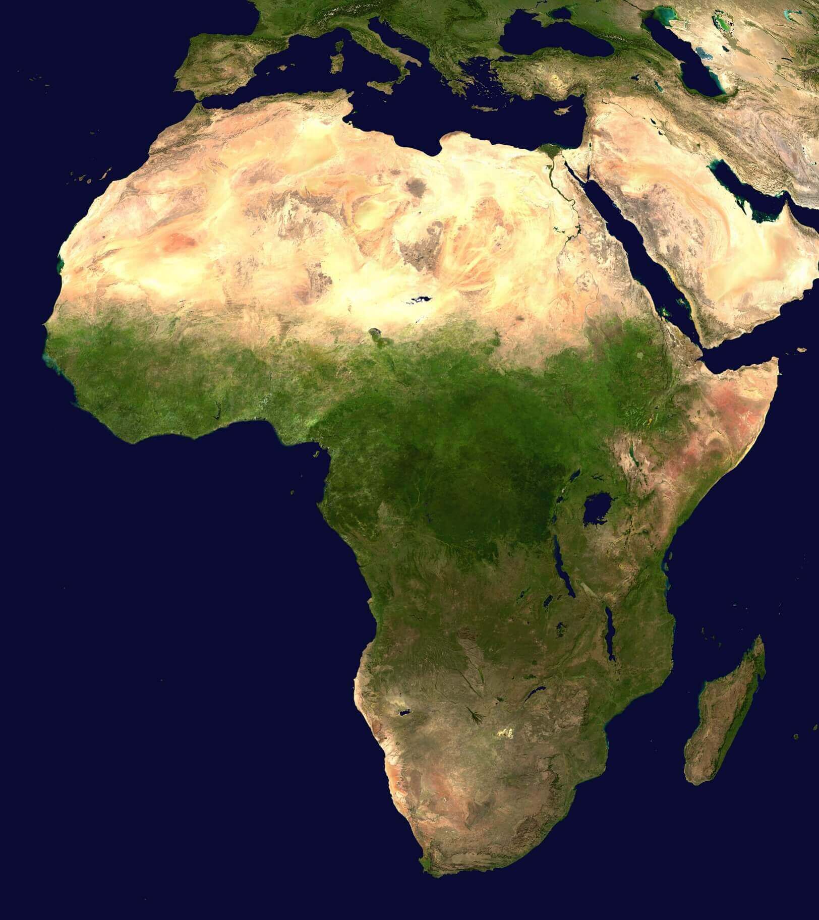
Africa satellite image
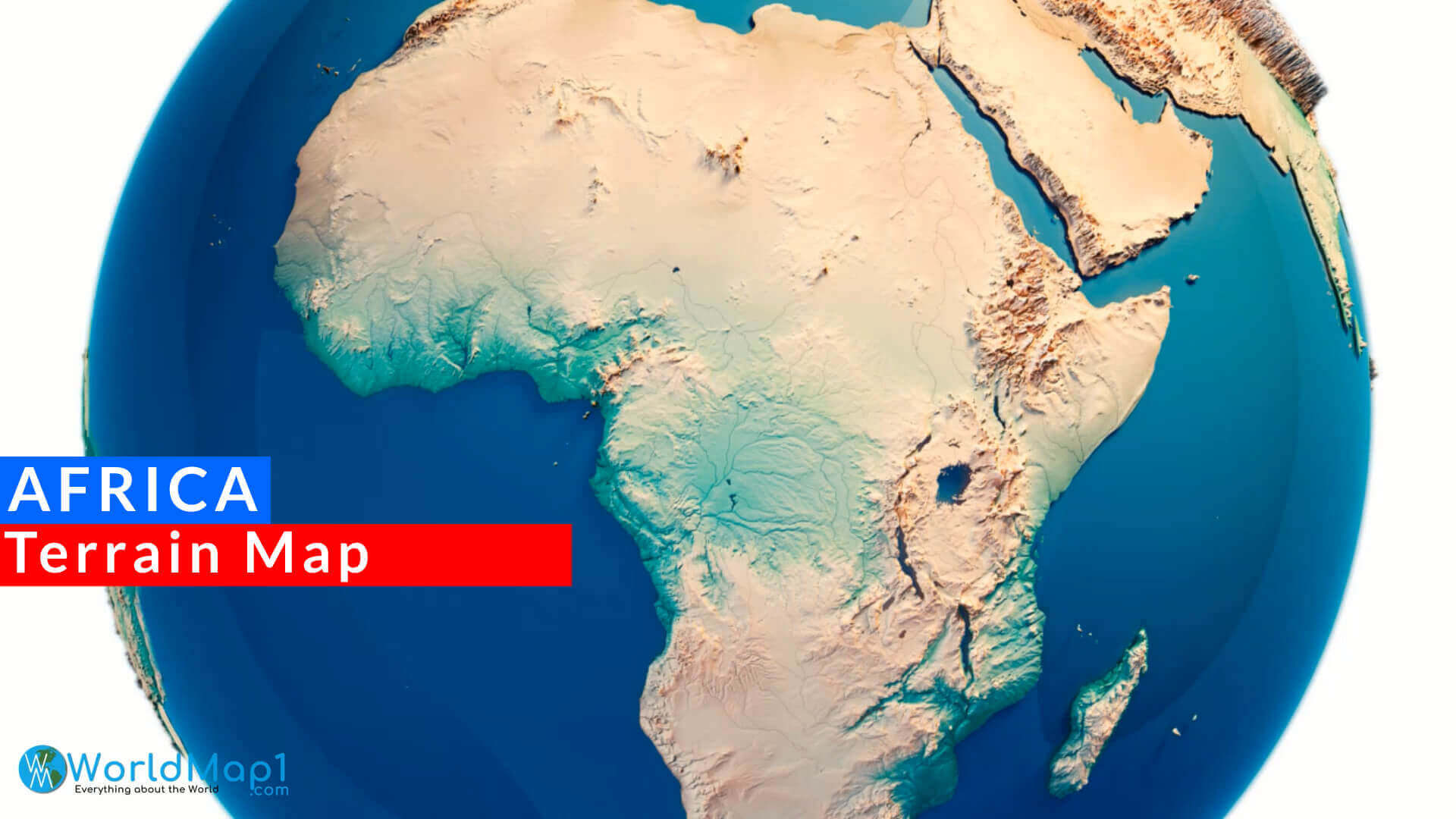
Africa terrain map
cental Africa physical map
Earth and Africa satellite map
Physical map of Africa
Sahara Desert and Africa satellite image map
Satellite map of Africa

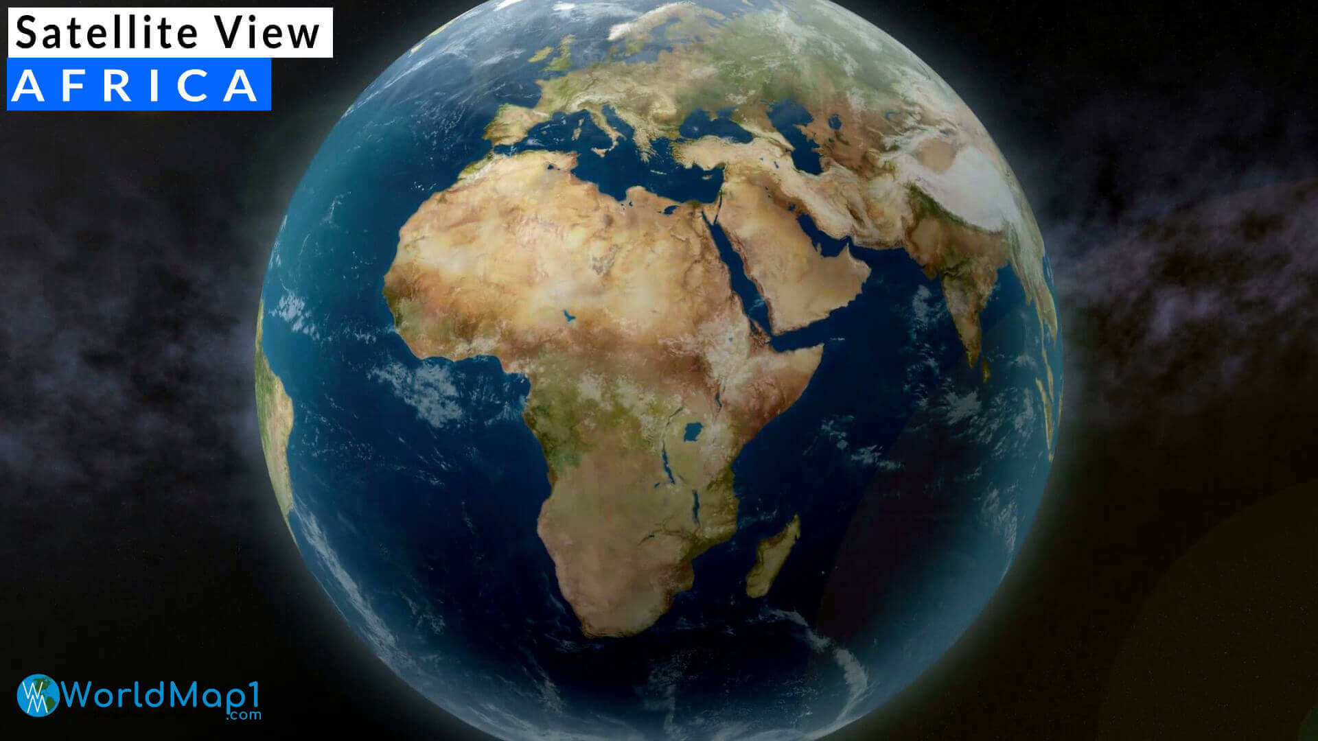
Satellite view of Africa
For more Africa Maps and About Africa;
- Head of Performance Marketing
- Head of SEO
- Linkedin Profile: linkedin.com/in/arifcagrici