Detailed Political Map of Africa with Country Borders and Names
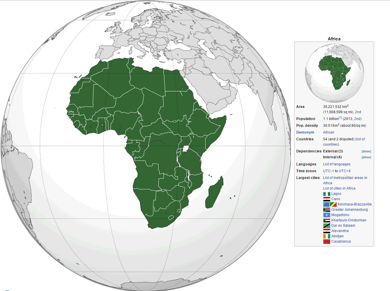
Explore Africa's political landscape with this comprehensive collection of maps, featuring all 54 countries, their borders, and key regions. Each map highlights national boundaries, capitals, and major nations—from Egypt and Morocco in the north to Nigeria, Kenya, and South Africa further south. For broader context, some maps also showcase Africa's geographical position relative to Europe, Asia, and the Middle East. Whether for education, travel planning, or global studies, these maps provide a clear and detailed view of the continent's political divisions.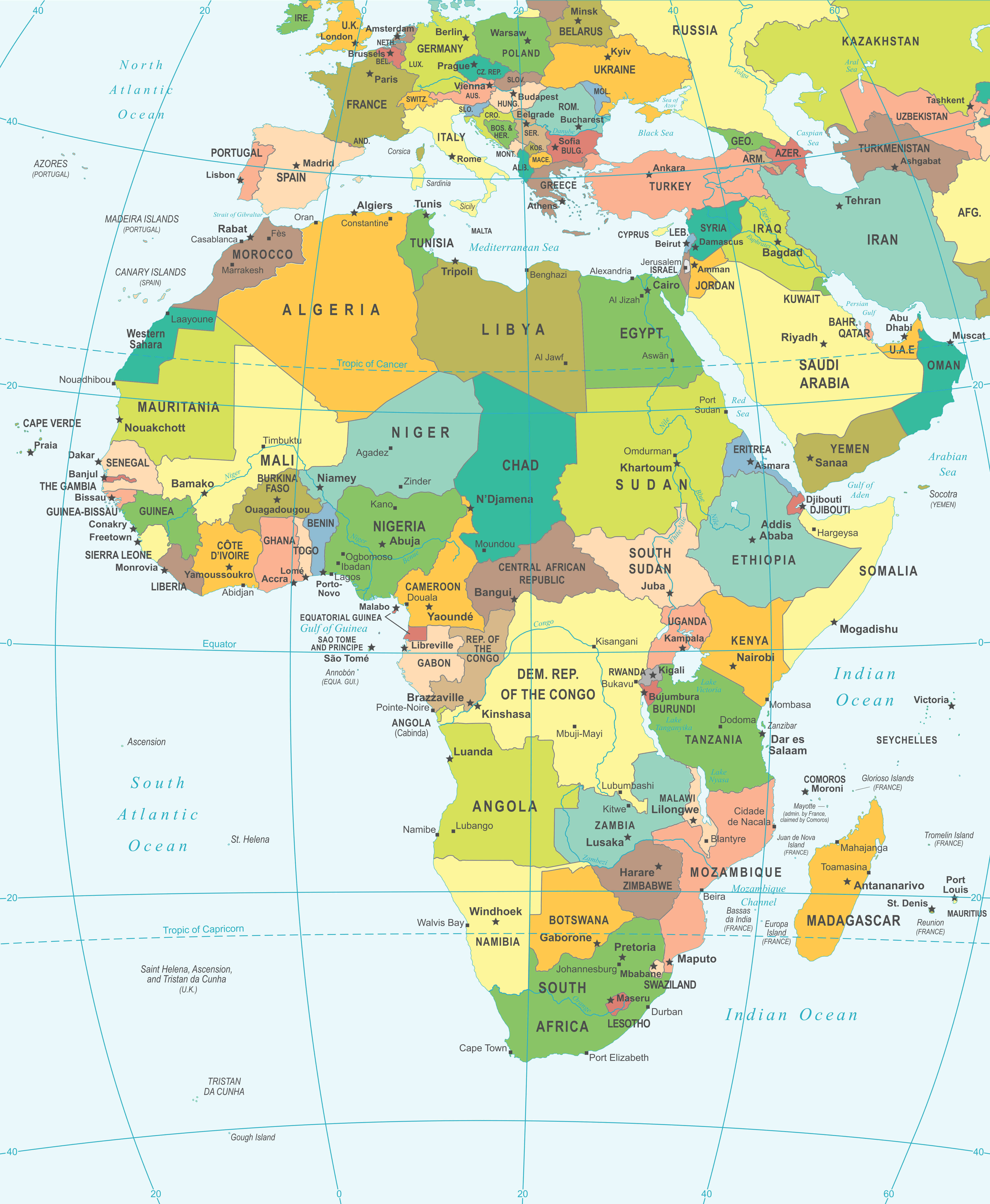
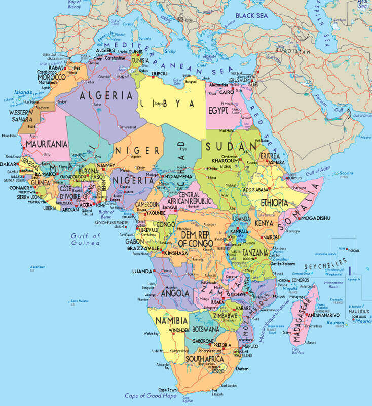
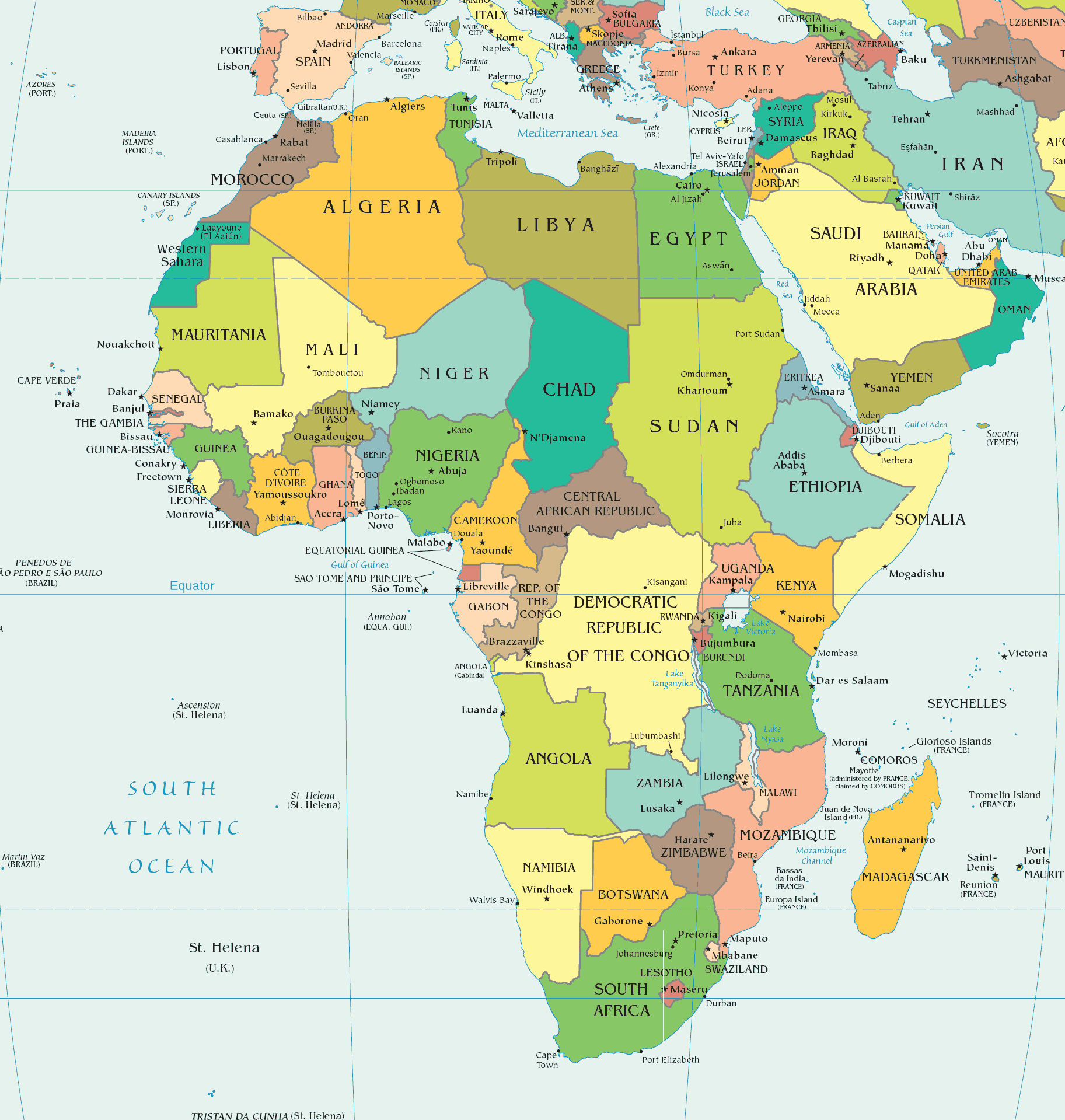
Africa Political Map with Country Names and Borders
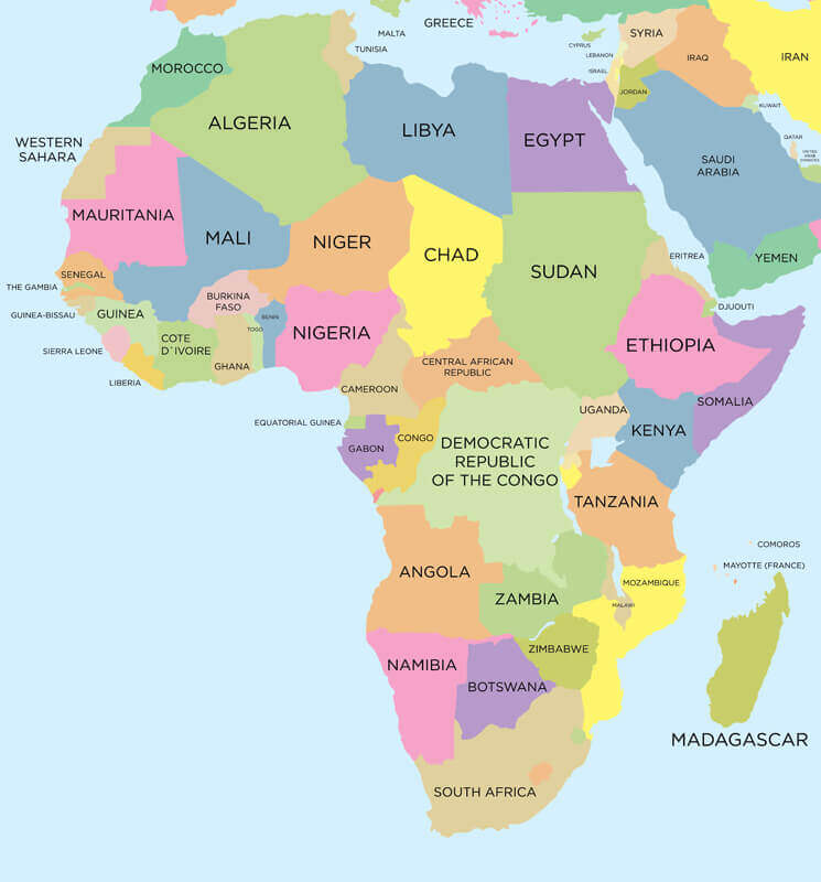 Colorful political map of Africa with countries and borders labeled.
This vibrant political map provides a clear and detailed overview of Africa’s 54 sovereign nations, featuring precise borders, country names, and distinct color-coding for easy reference. The map also includes key neighboring regions—such as the Middle East and Mediterranean—offering valuable geopolitical context. Perfect for classrooms, research, or travel planning, it’s an essential tool for understanding Africa’s political landscape and regional connections.
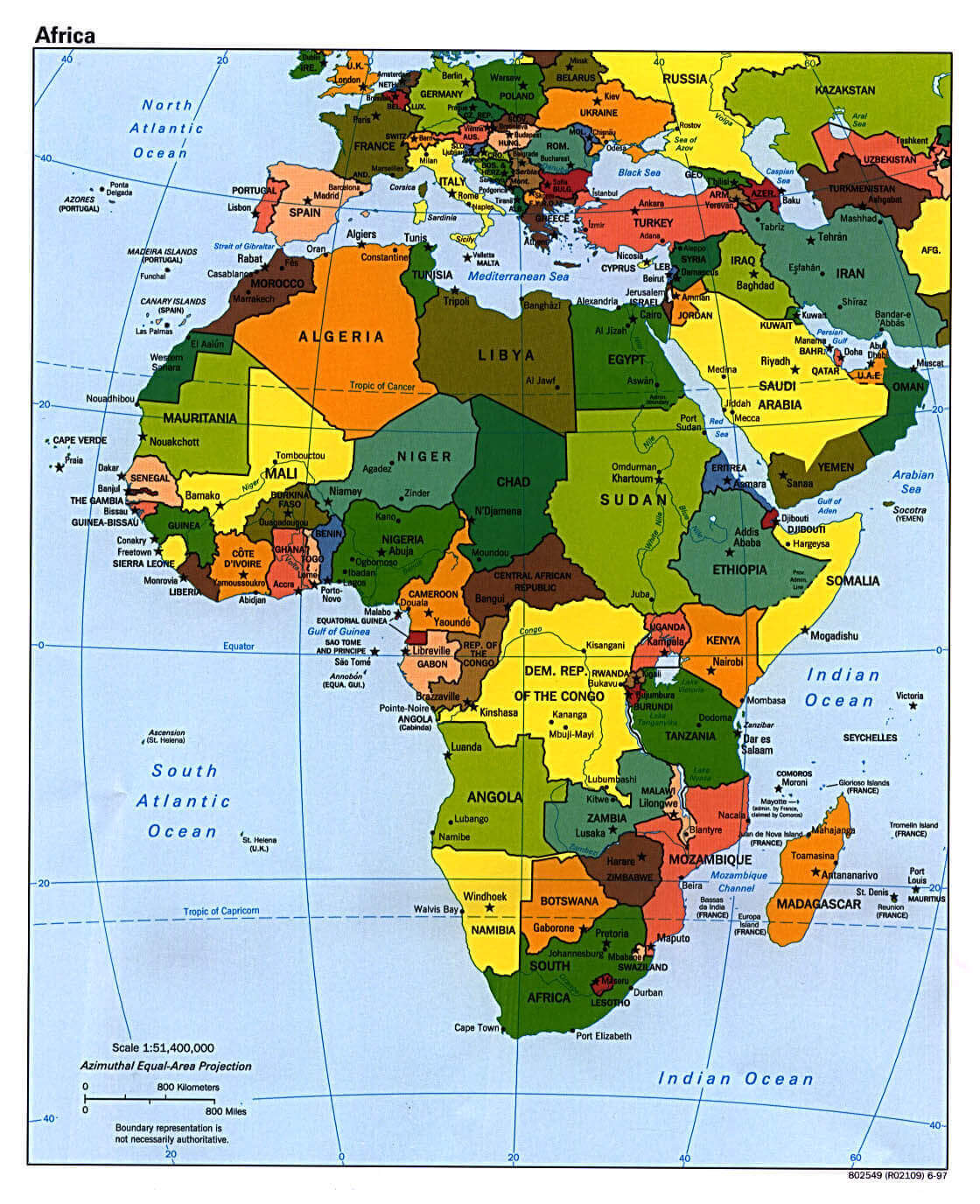
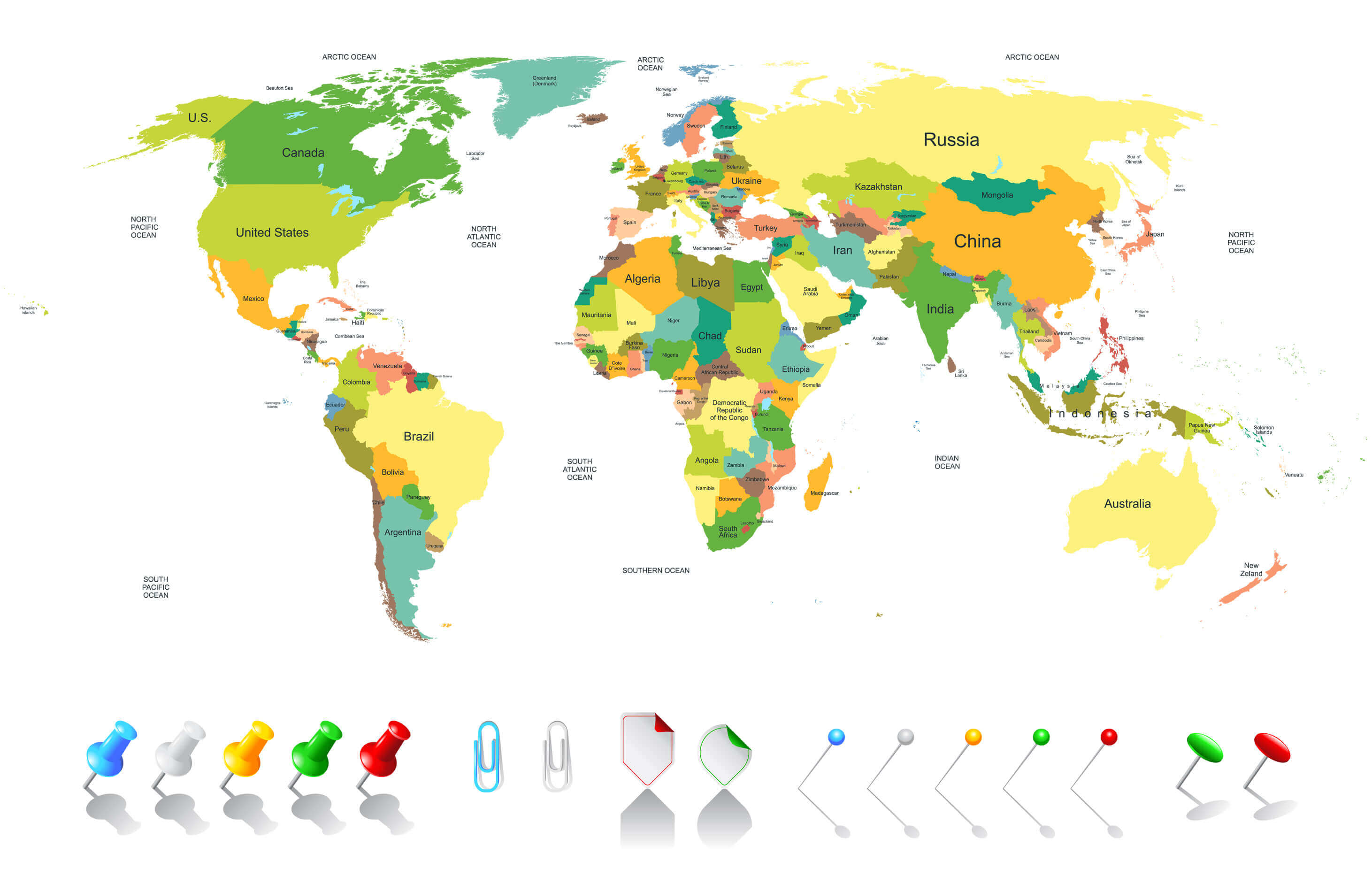
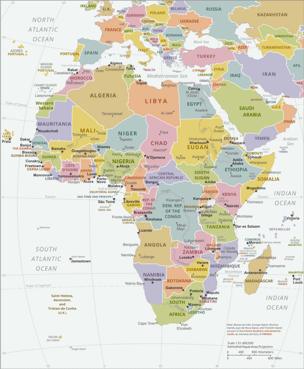
Africa Political Map with Europe and Middle East Connections
Africa political map with parts of Europe and the Middle East labeled and colored.
This detailed political map presents Africa in its regional context, featuring clearly demarcated national borders, capital cities, and major urban centers across the continent. The extended geographic coverage includes portions of Southern Europe and the Middle East, offering valuable insight into Africa's geopolitical relationships with neighboring regions. Perfect for educators, analysts, and travelers, this map serves as an excellent reference for understanding territorial boundaries, political geography, and continental connectivity between Africa, Europe, and Asia.
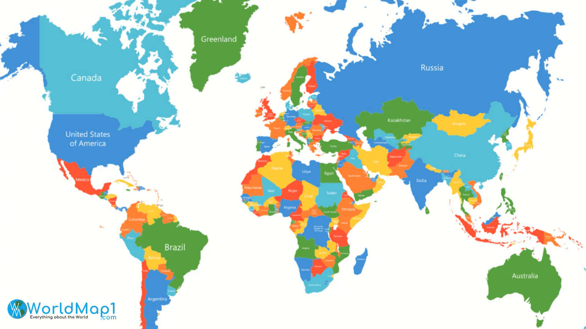
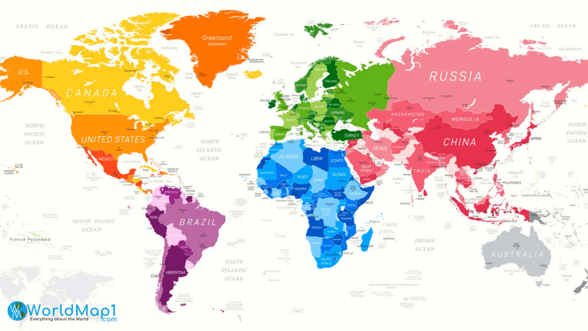
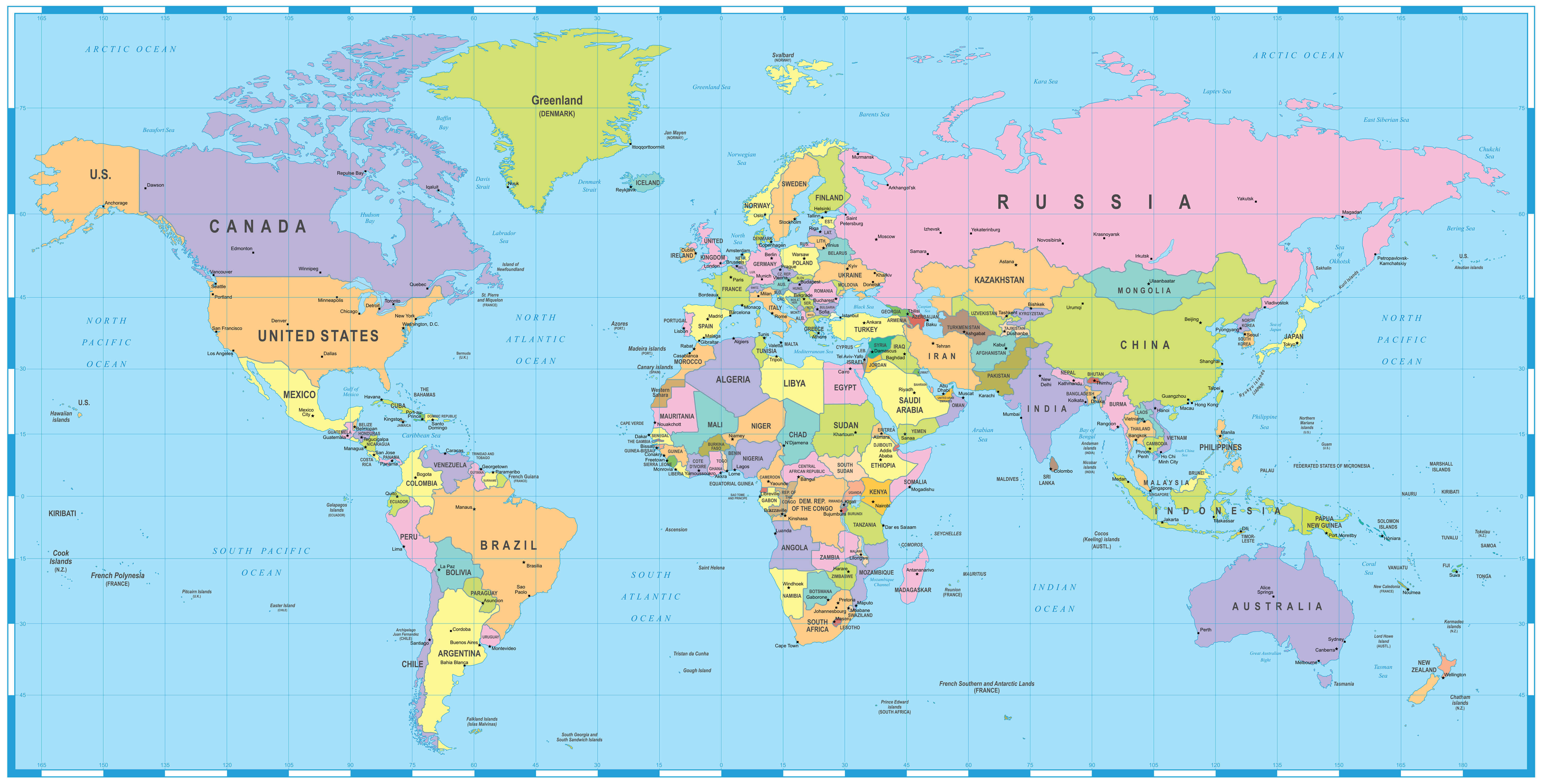
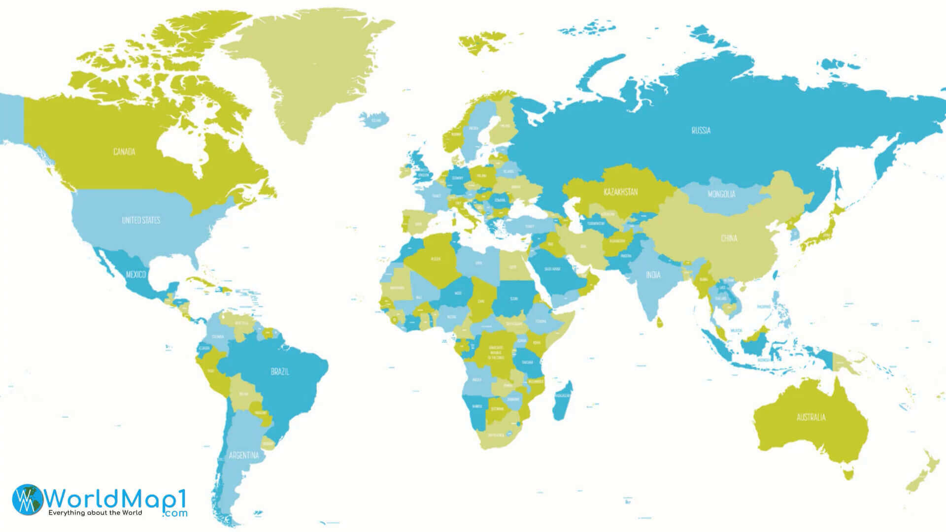
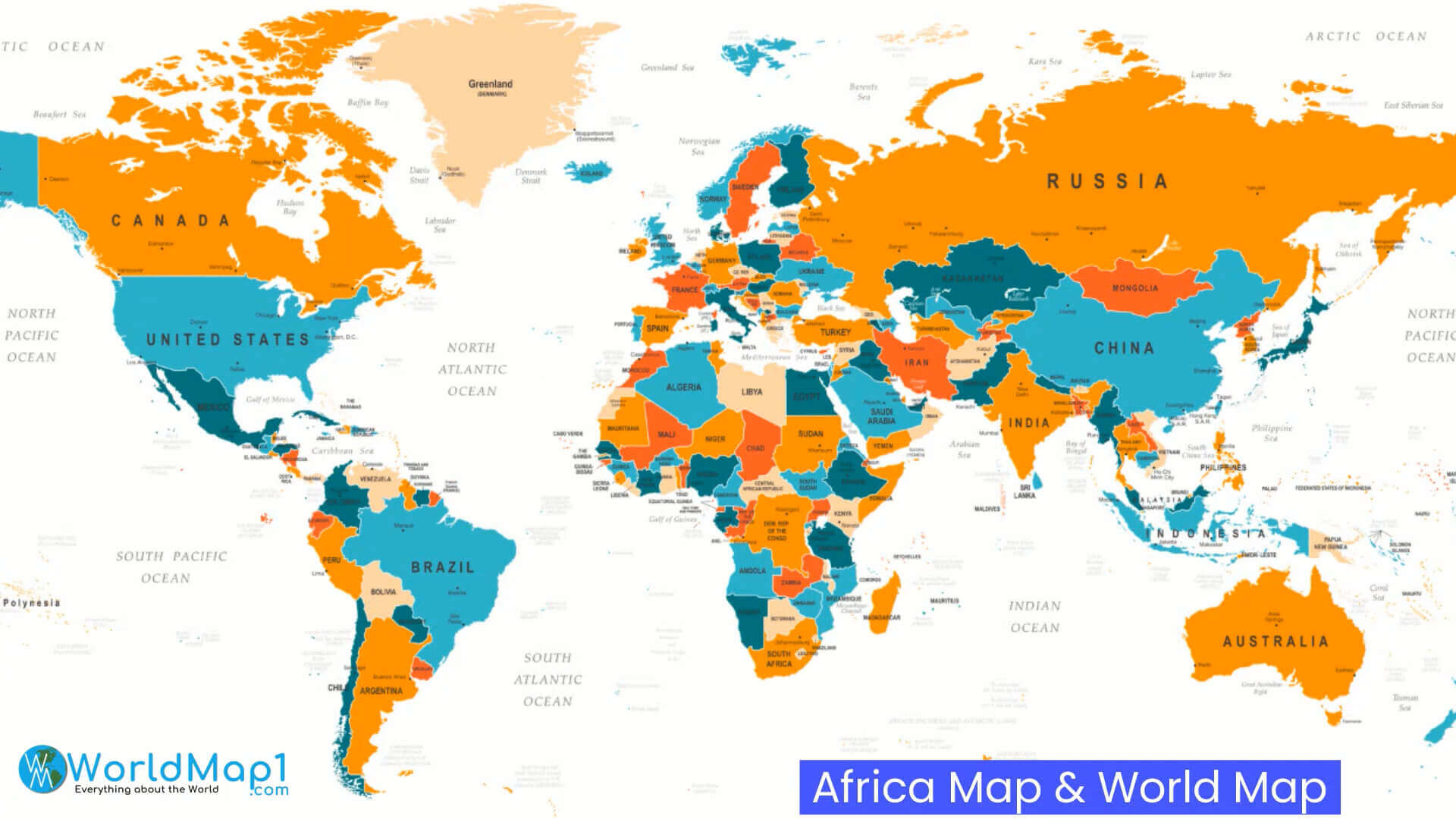
World map with Africa
Large Africa political map
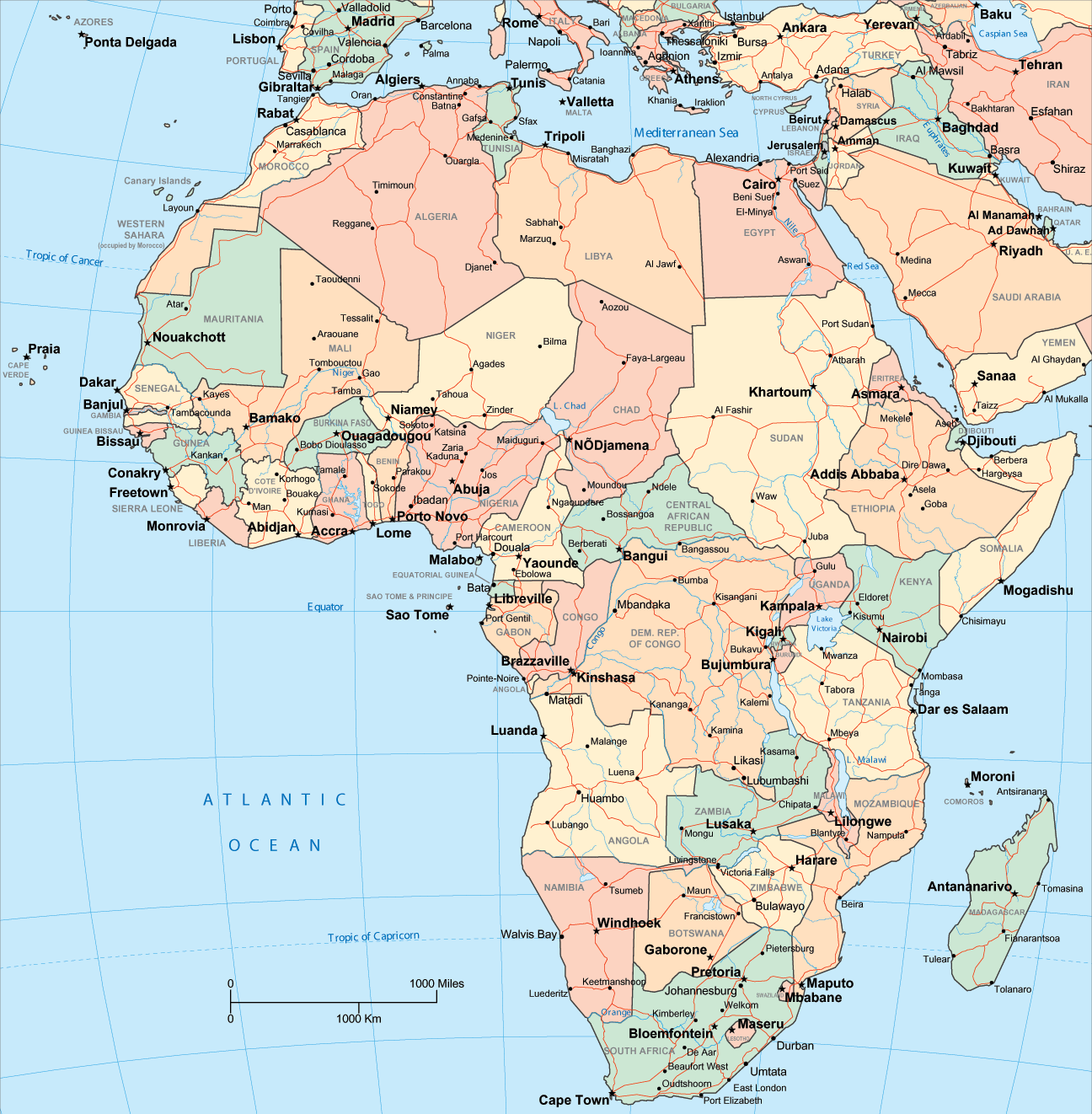
Africa and Sahara Desert map
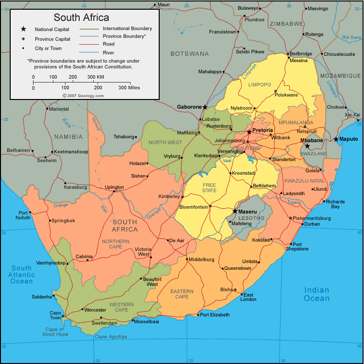
Africa map South Africa
Africa map

Africa map
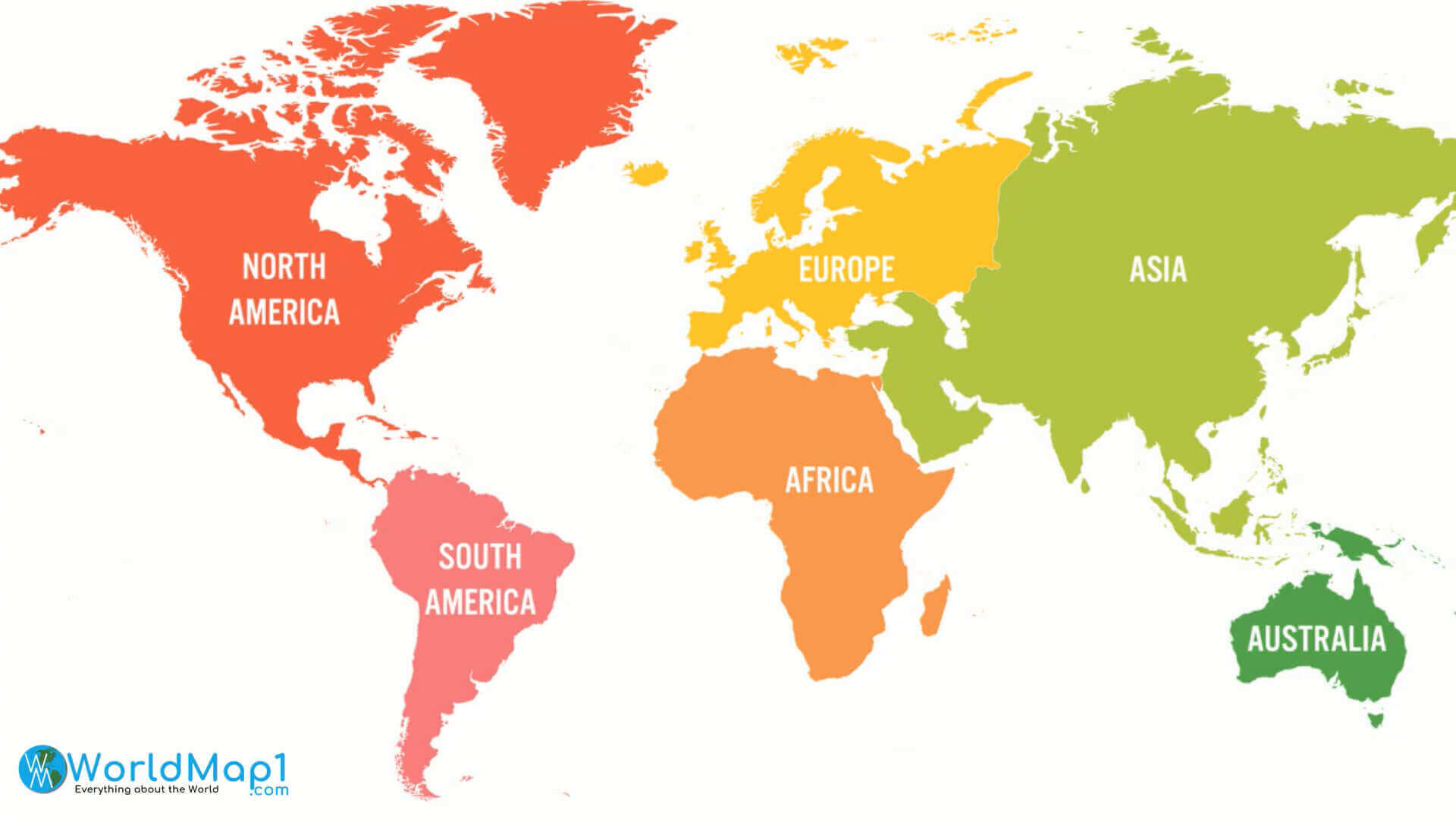
Africa on World map colorful
Africa political maps
Africa political World infographic map
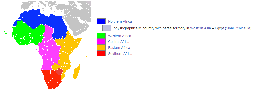
Africa regions map
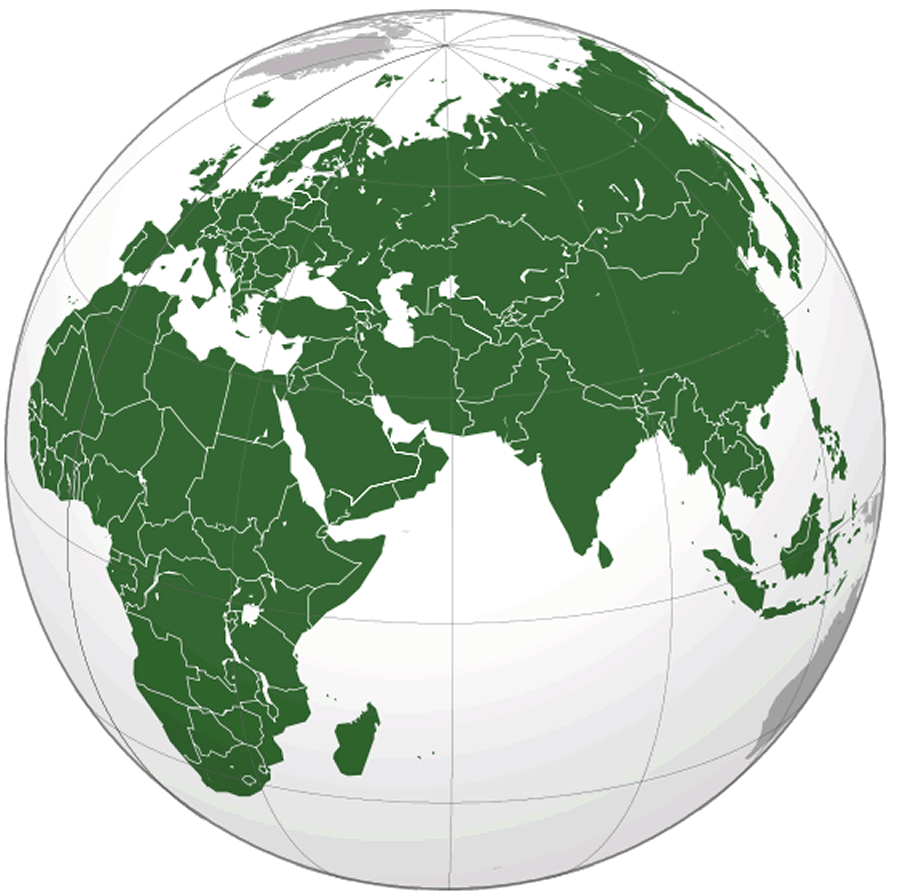
Afro eurasia map
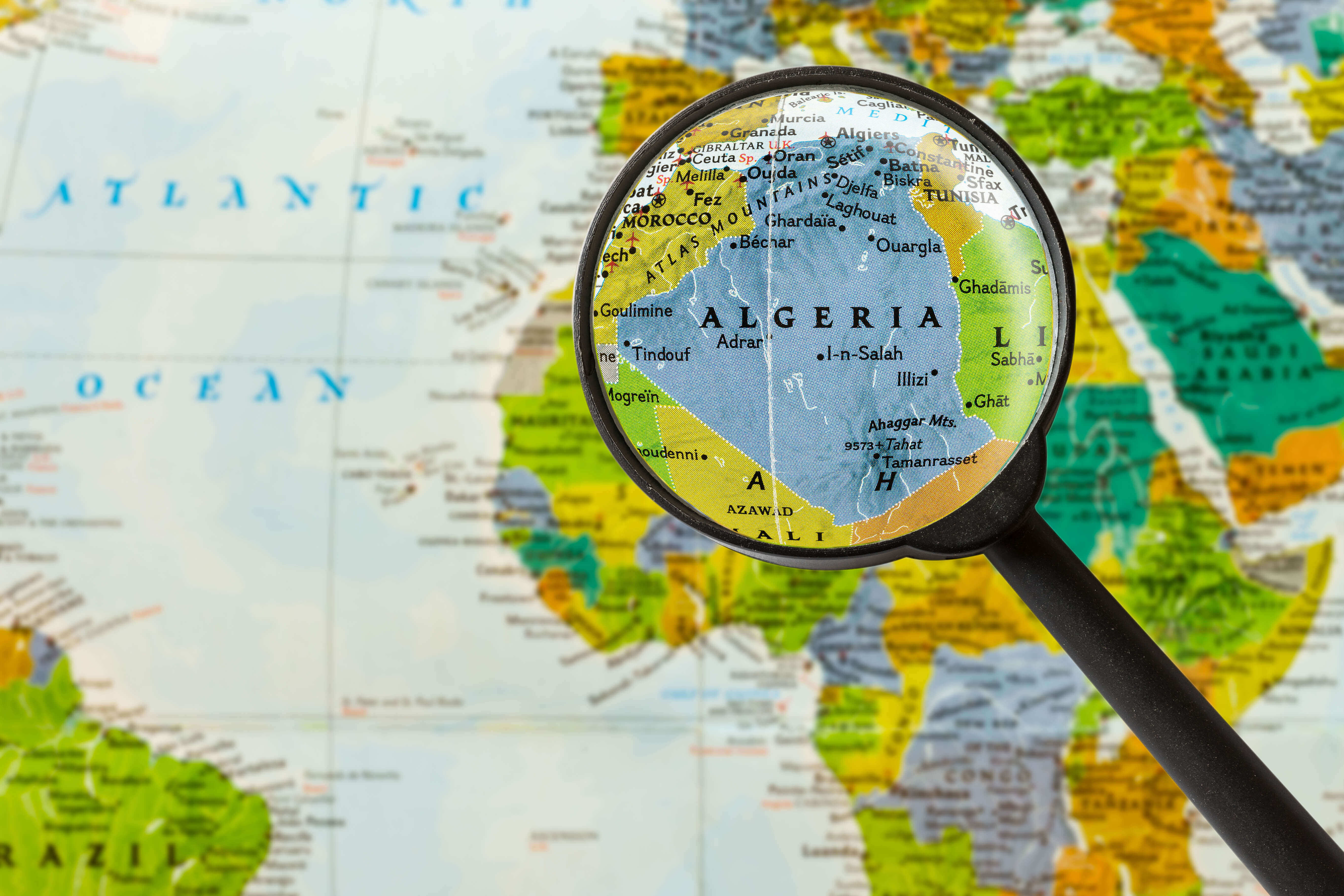
Algeria map in Africa
Colored World map Africa
Continents map with Africa
Map of Africa
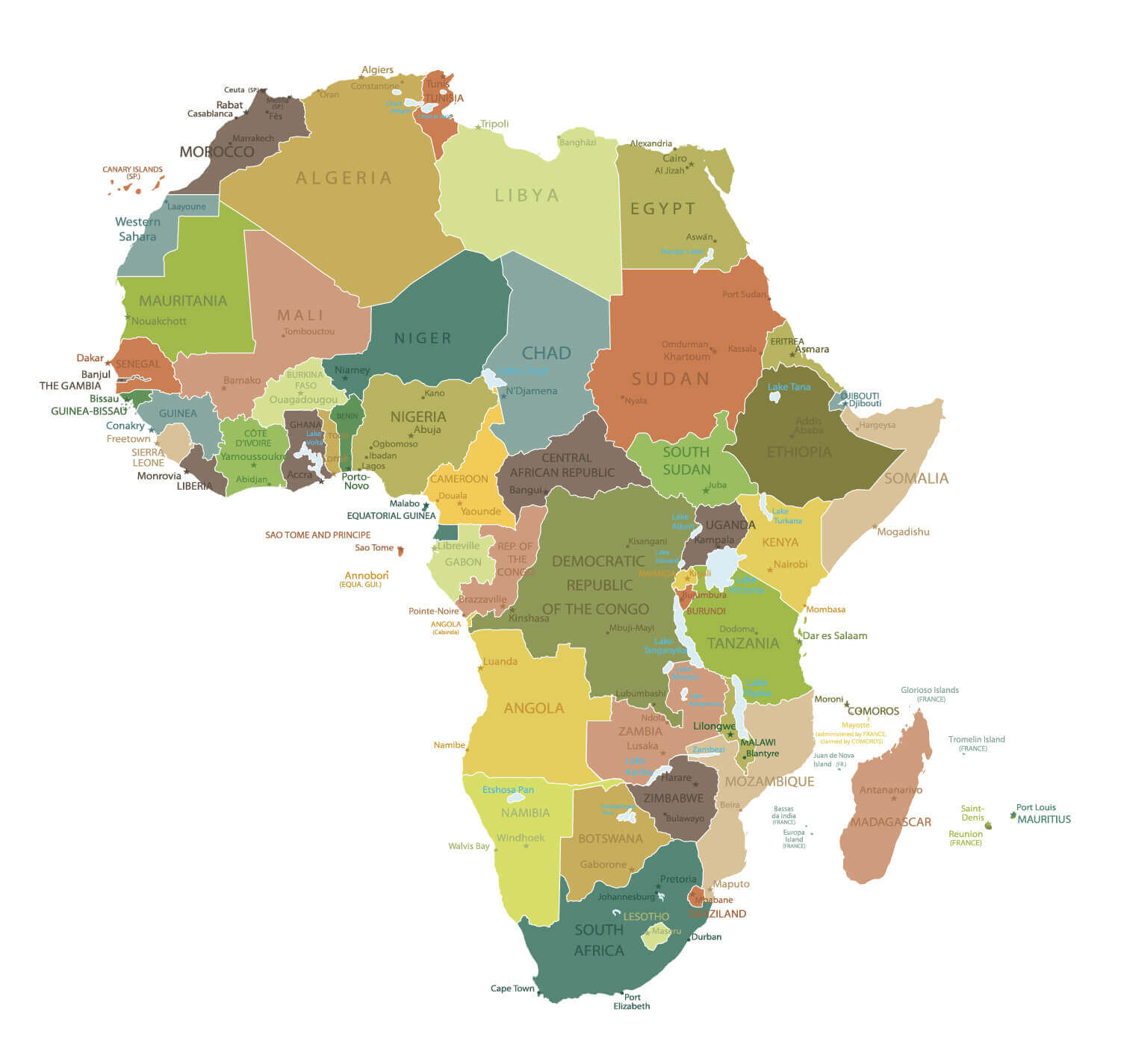
Maps of Africa
Political map of Africa in 2021
Political map of World and Africa
Where is Africa on the World map
World map and Africa map
For more Africa Maps and About Africa;
- Head of Performance Marketing
- Head of SEO
- Linkedin Profile: linkedin.com/in/arifcagrici