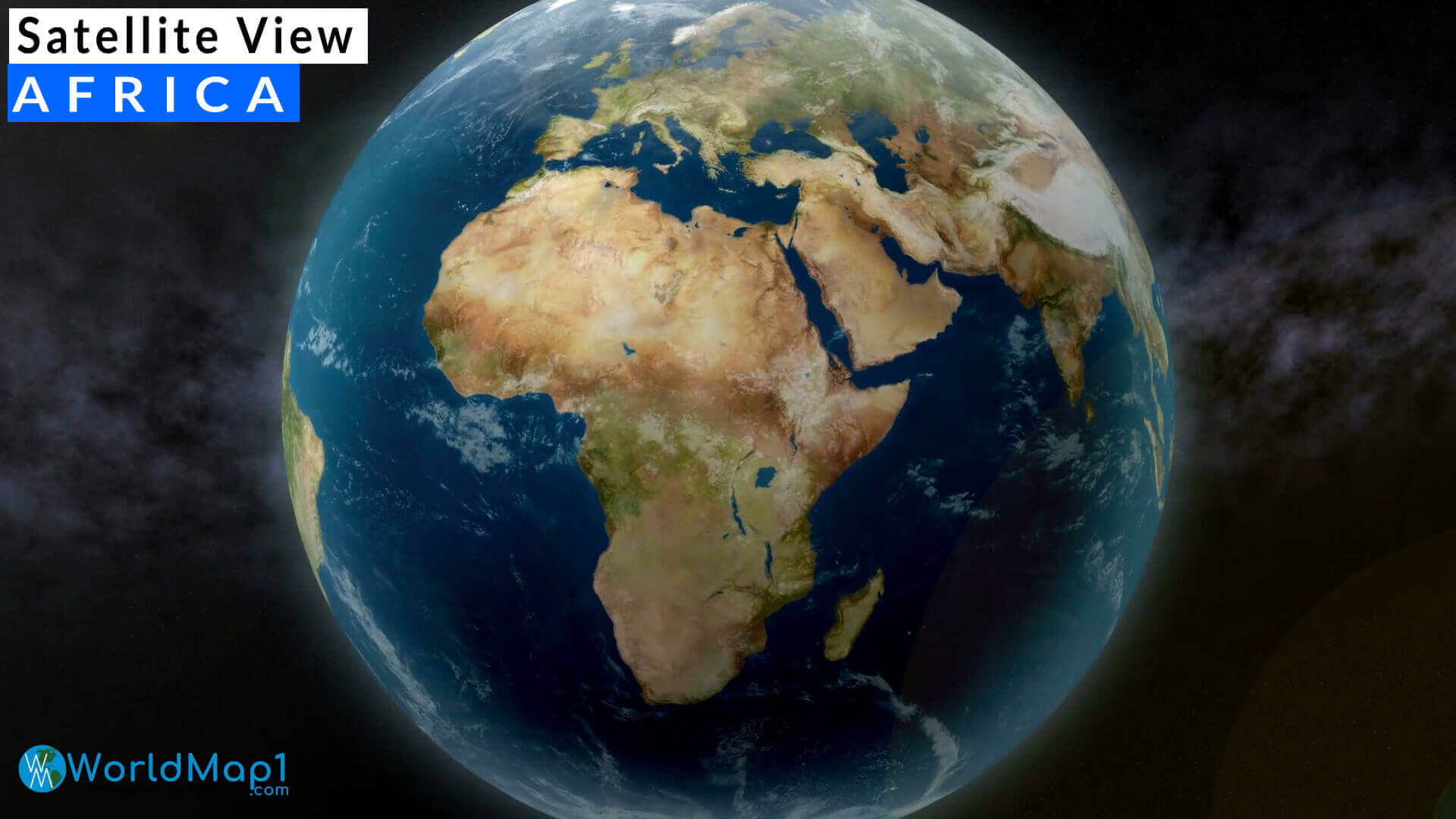
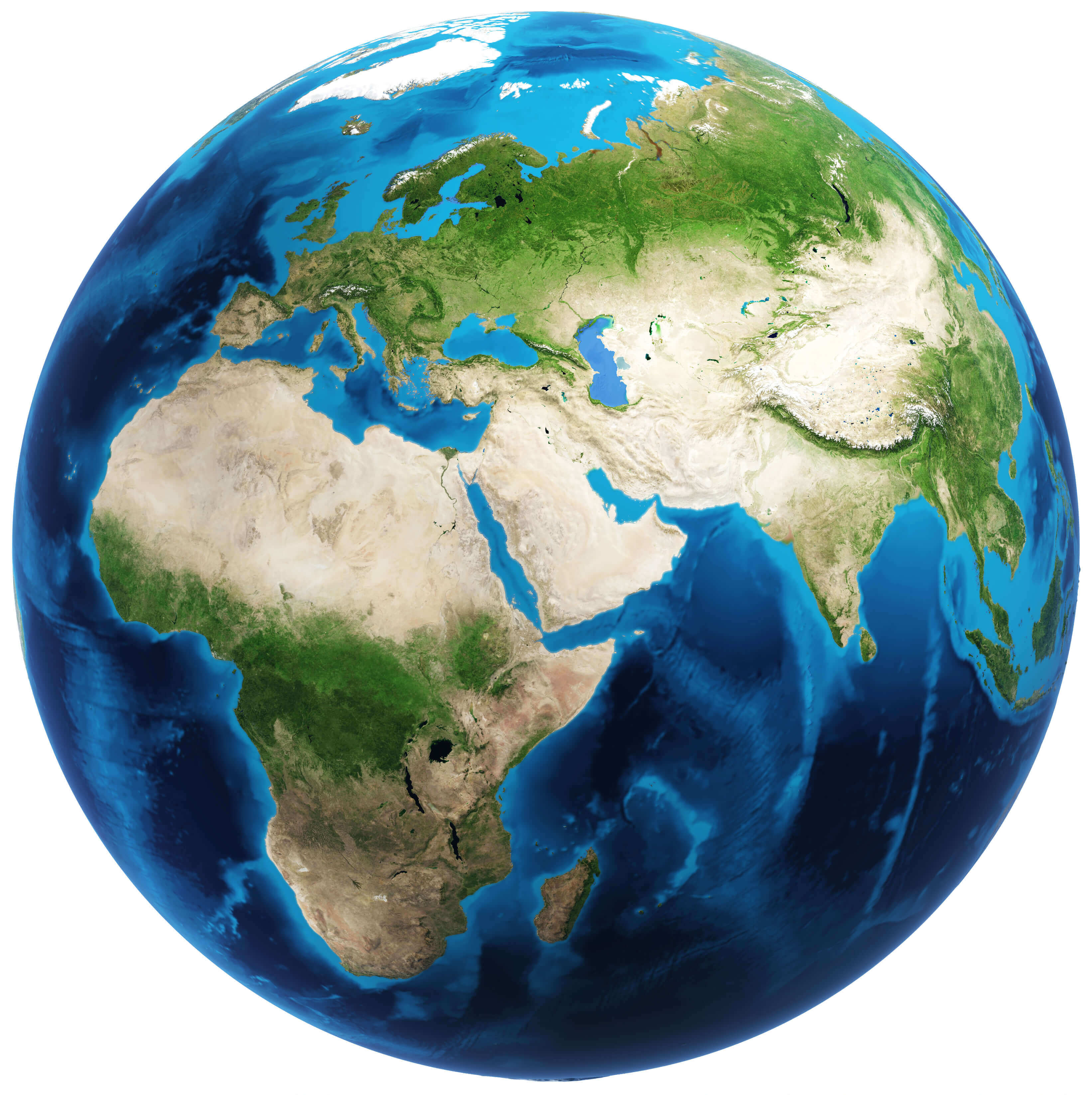
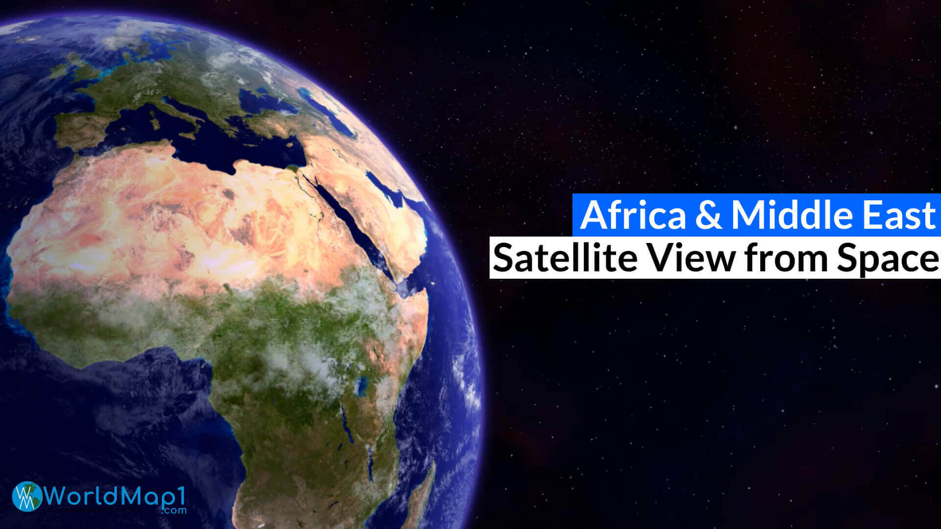
Africa and Europe: Stunning Satellite View from Space
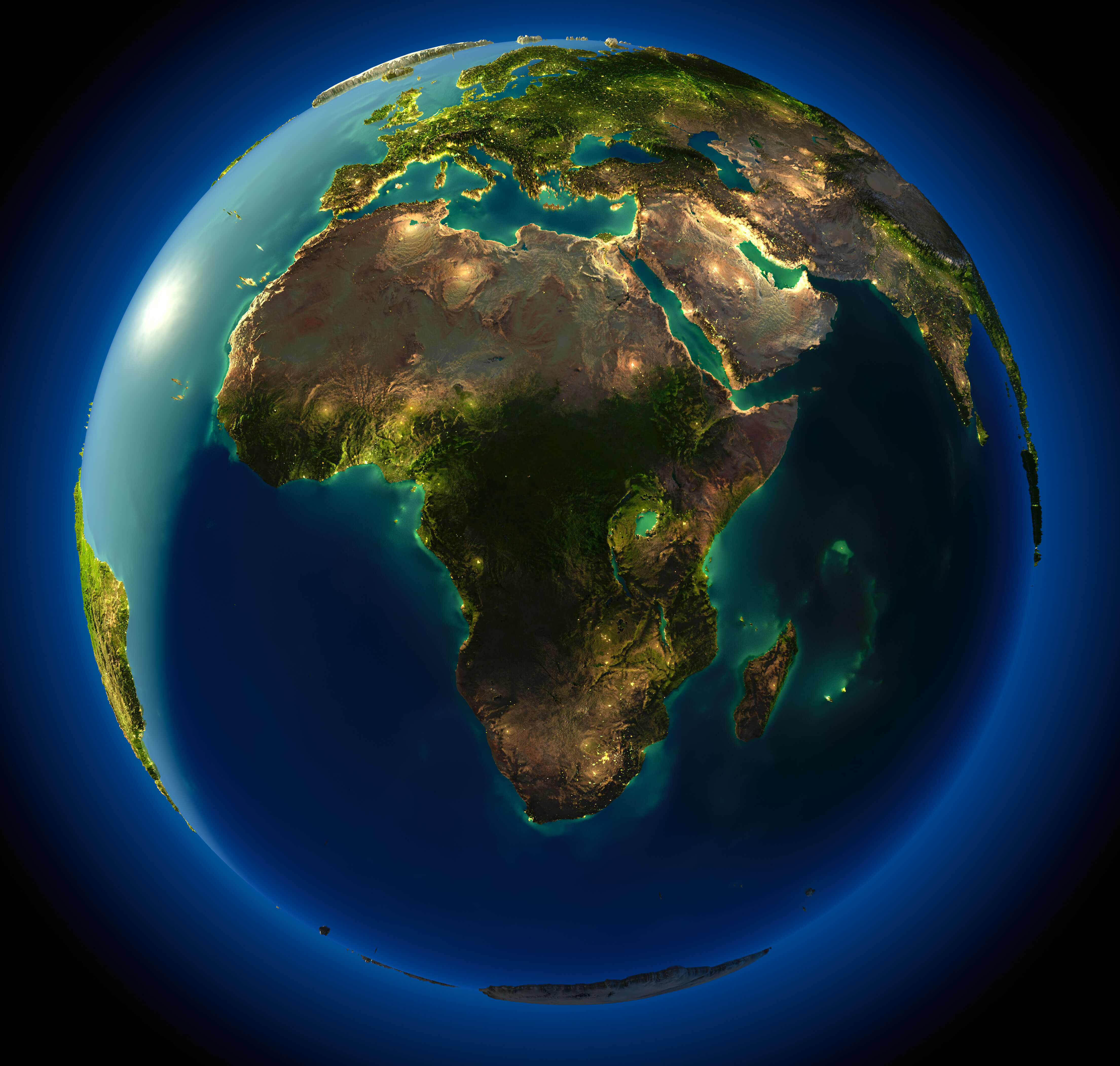
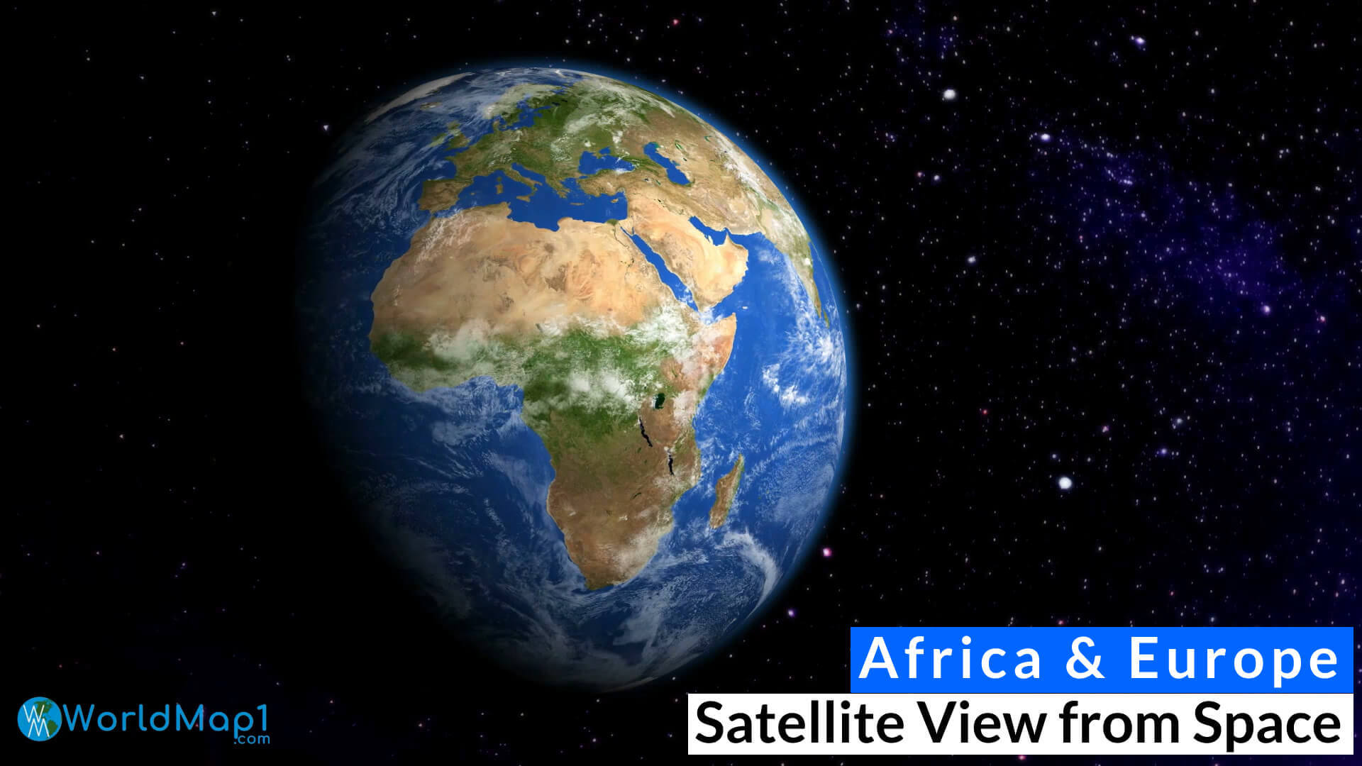 Africa and Europe satellite image showing Earth's surface from outer space.
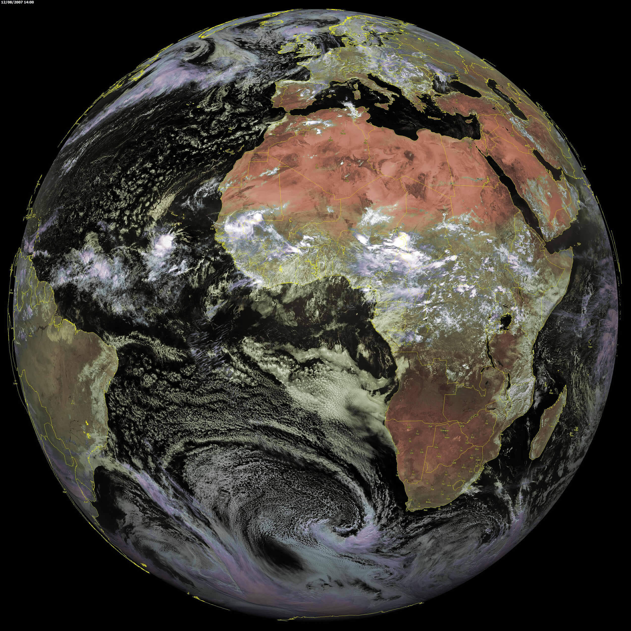
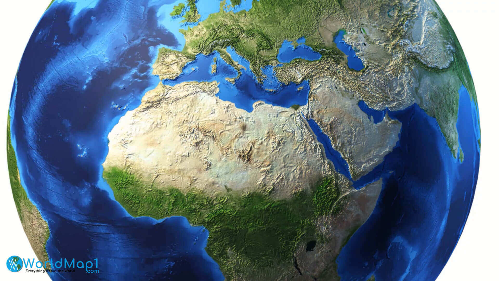
This breathtaking satellite image captures Africa and Europe in remarkable detail, showcasing their diverse landscapes. The Mediterranean Sea glistens between the continents, while the vast expanse of the Sahara Desert contrasts with the vibrant greenery of equatorial regions. Ideal for educational purposes, this image offers valuable geographical and historical insights into two of the world’s most influential continents.
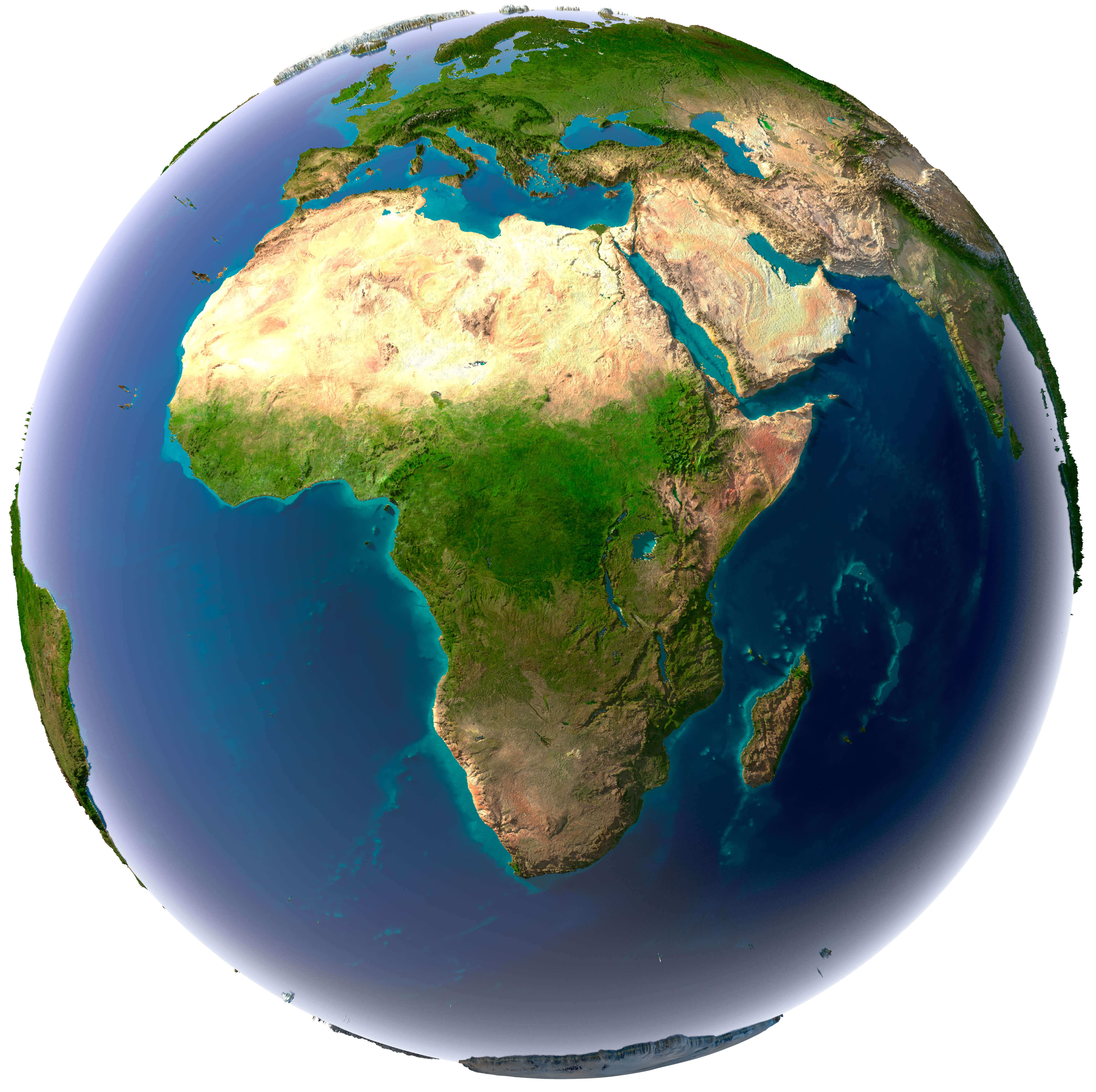
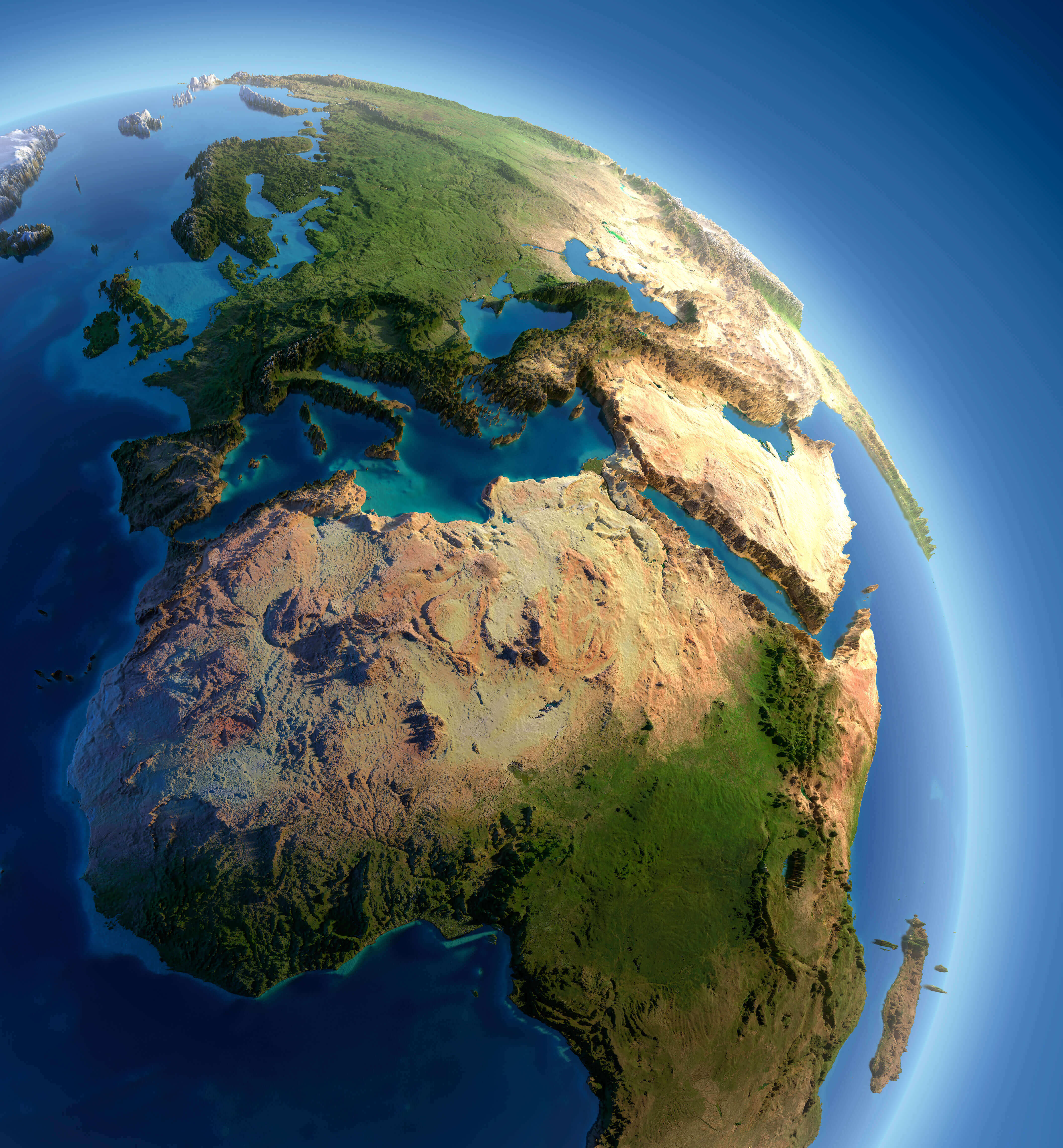
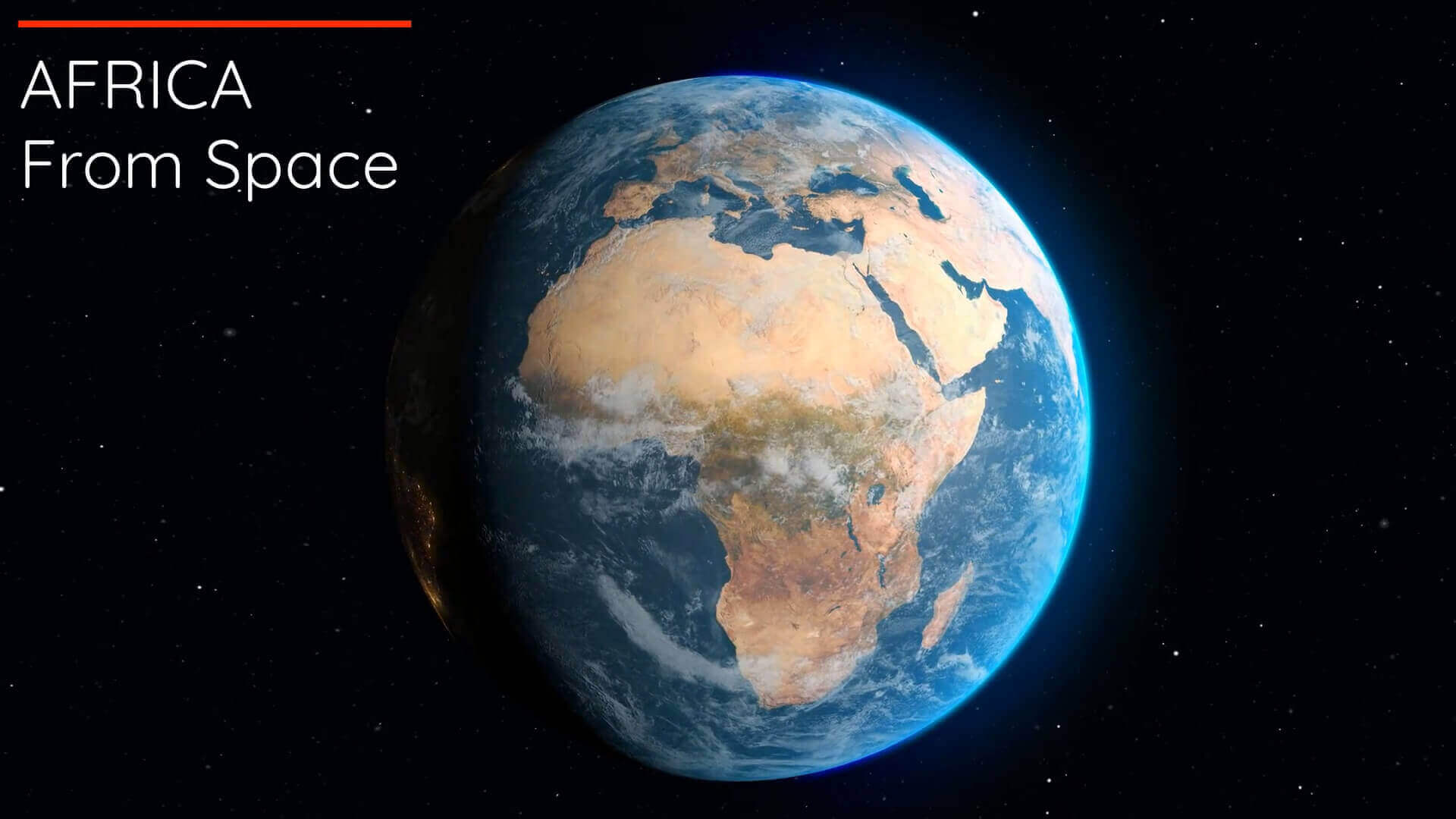
Africa Earth Satellite Map: A View of the Continent from Space
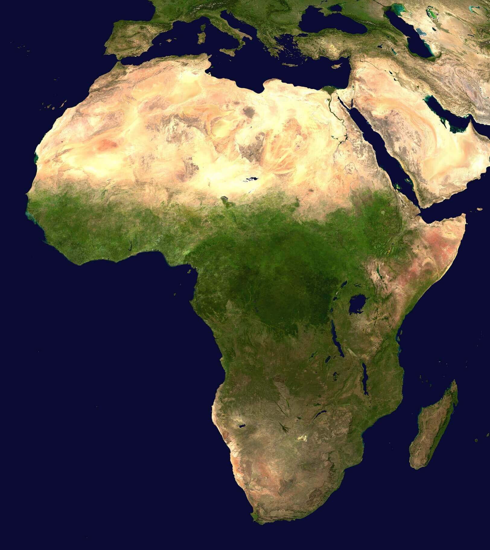
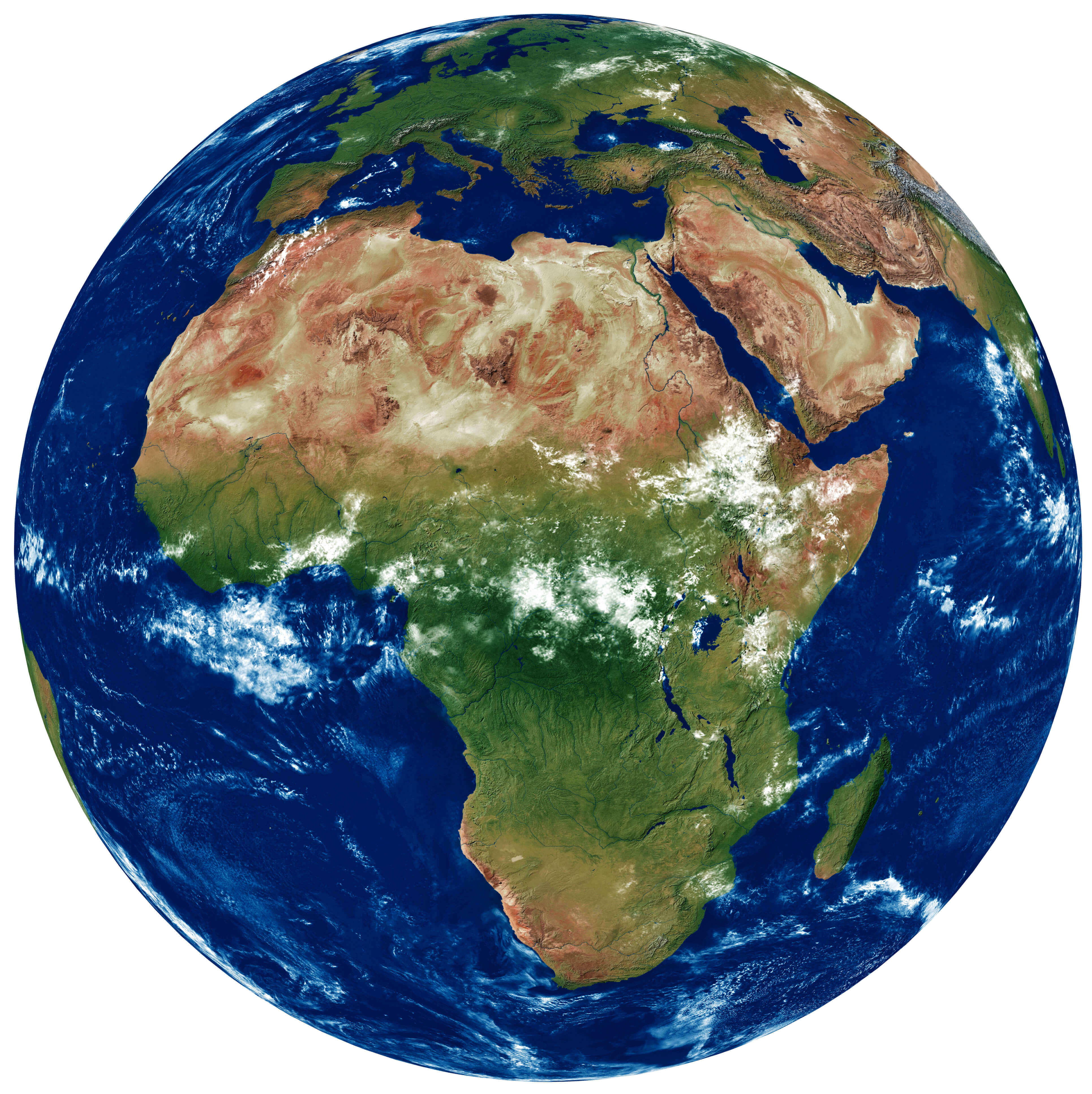 Africa satellite map showing natural terrain, forests, deserts, and coastlines.
This high-resolution satellite map of Africa offers a striking visual of the continent’s diverse physical geography. It vividly captures the expansive Sahara Desert, the lush equatorial rainforests, and the dramatic highlands of East Africa, along with rivers, lakes, and other key natural features. Perfect for education and research, this detailed image serves as an invaluable geographic reference.