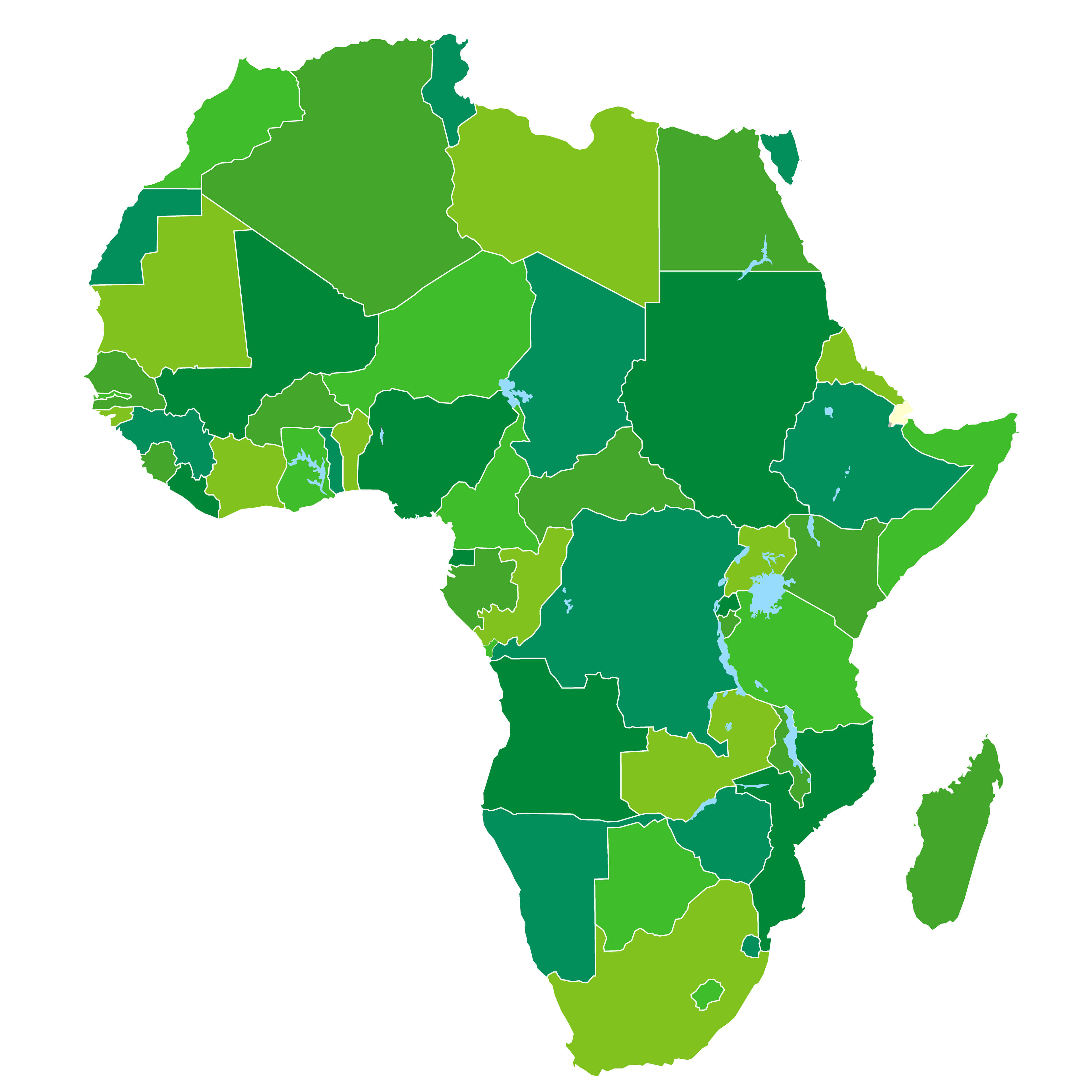
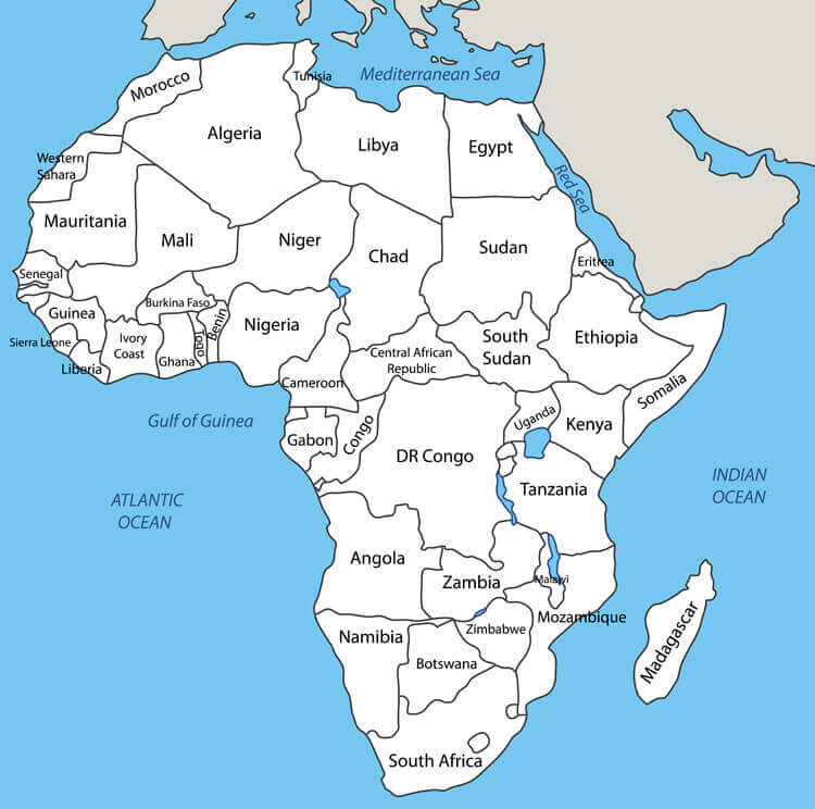
Discover Africa's Countries: Interactive Map with Names and Capitals
This meticulously detailed map presents Africa's 54 sovereign nations with precision, showcasing borders, capitals, and distinctive geographic character—from Algeria's sweeping deserts to Uganda's fertile highlands and South Africa's stunning coastlines. More than just a political reference, it invites exploration: trace trade routes, compare regional landscapes, or simply marvel at the continent's staggering diversity. Ideal for travelers, students, and curious minds alike, it's your gateway to understanding the world's second-largest continent in all its complexity. 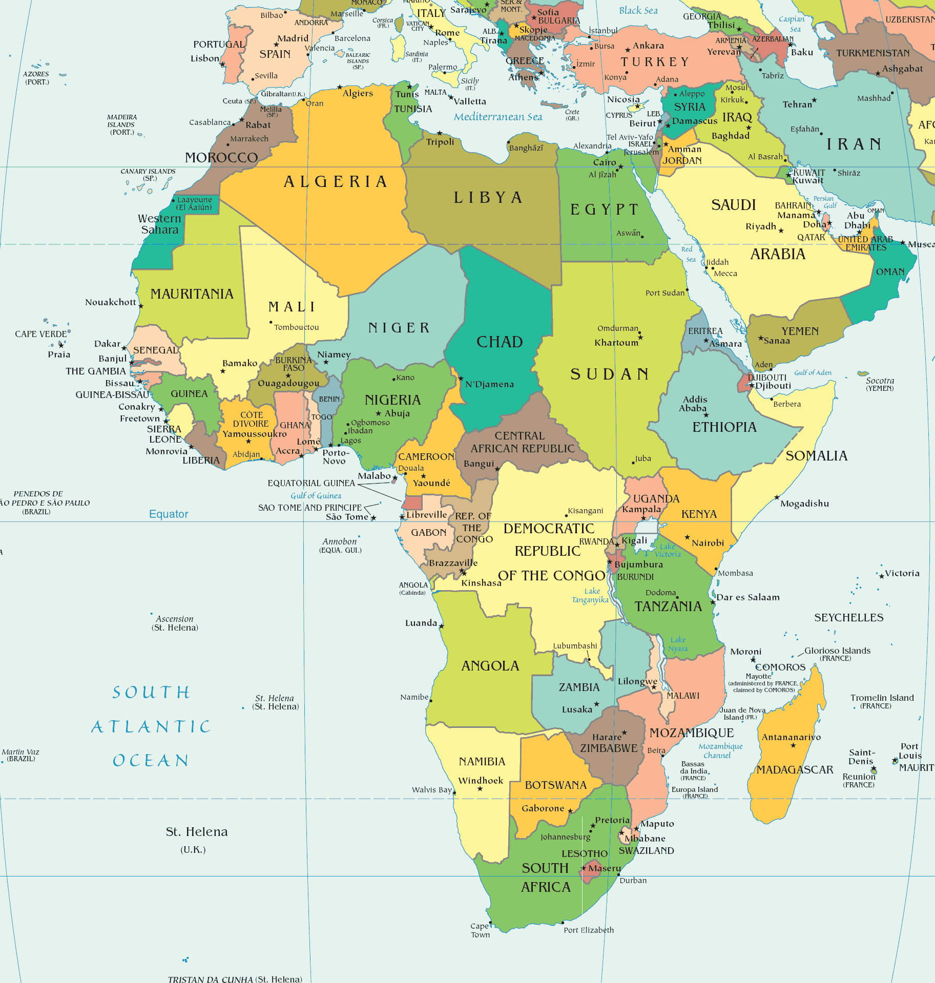
Africa maps
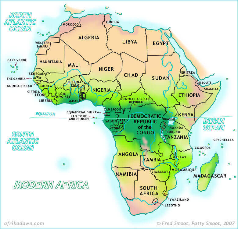
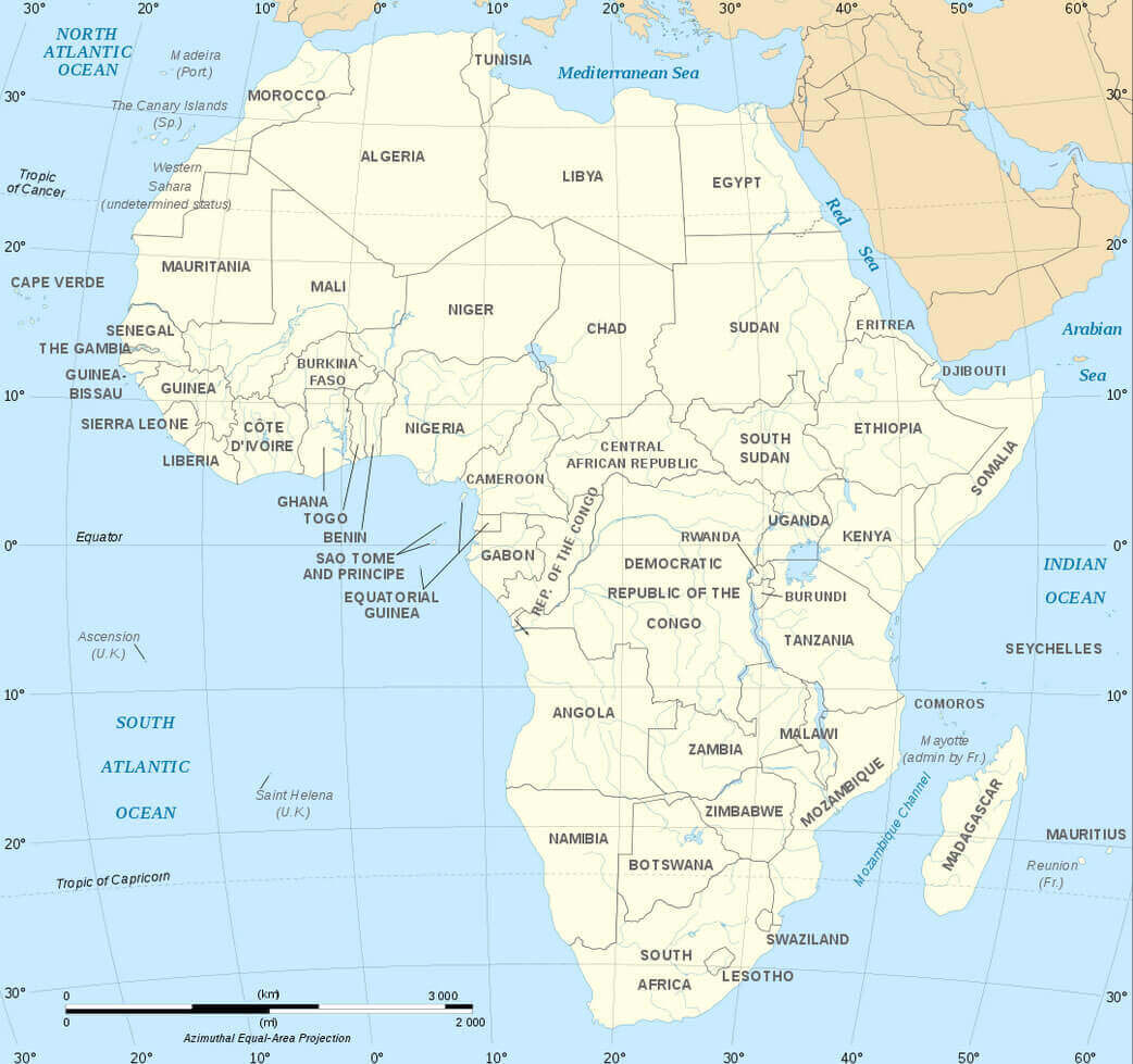
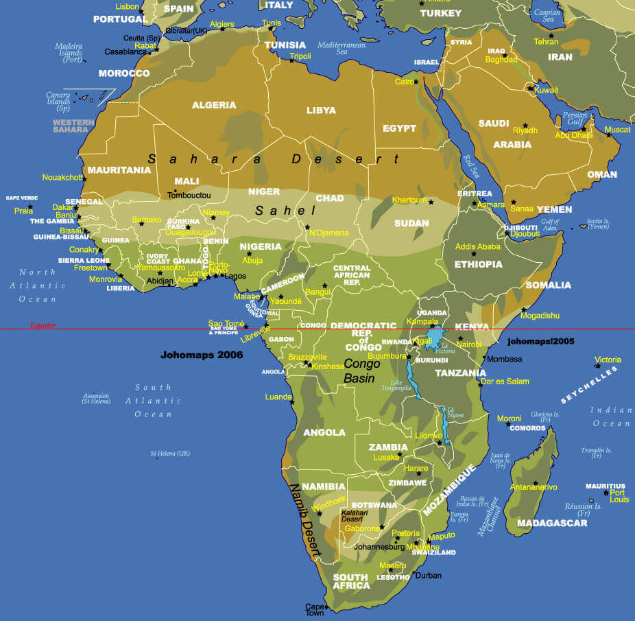
Africa physical map countries
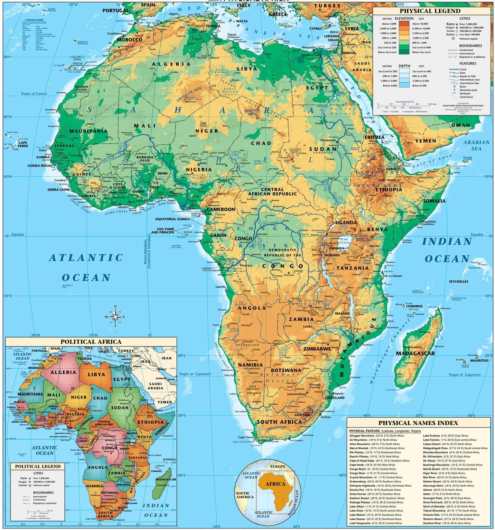
Physical map of Africa with countries
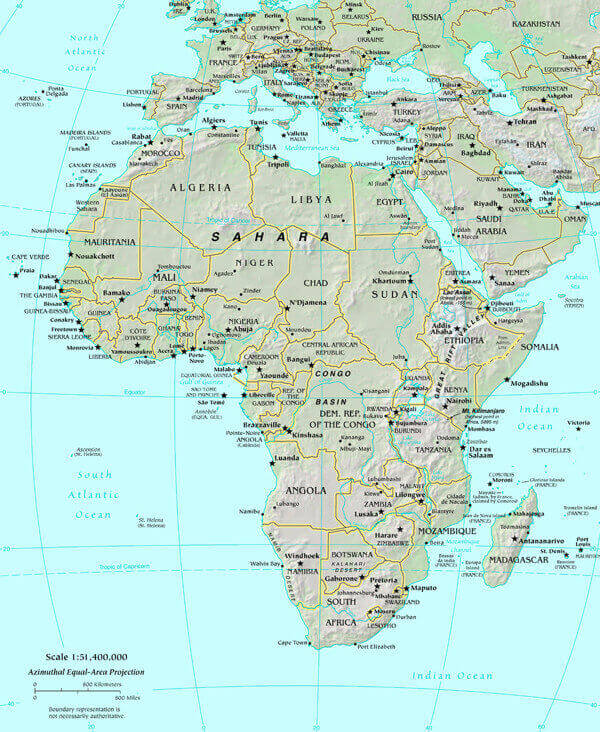
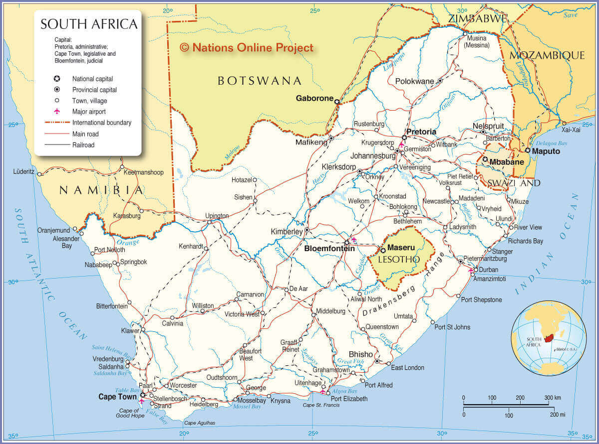
Africa and South Africa map
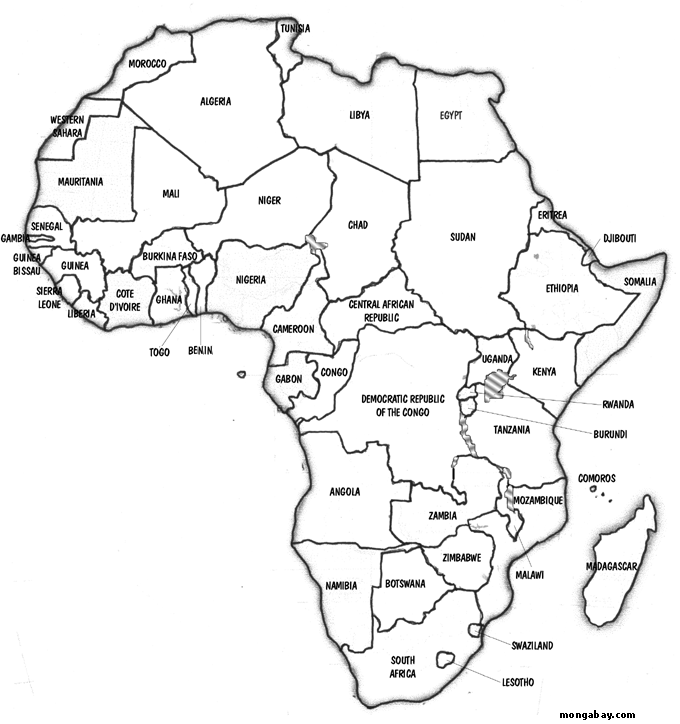
Africa countries blank map
Africa countries blank outlined map
Africa countries map

Africa countries outline map
Africa map with countries borders
Africa outline map
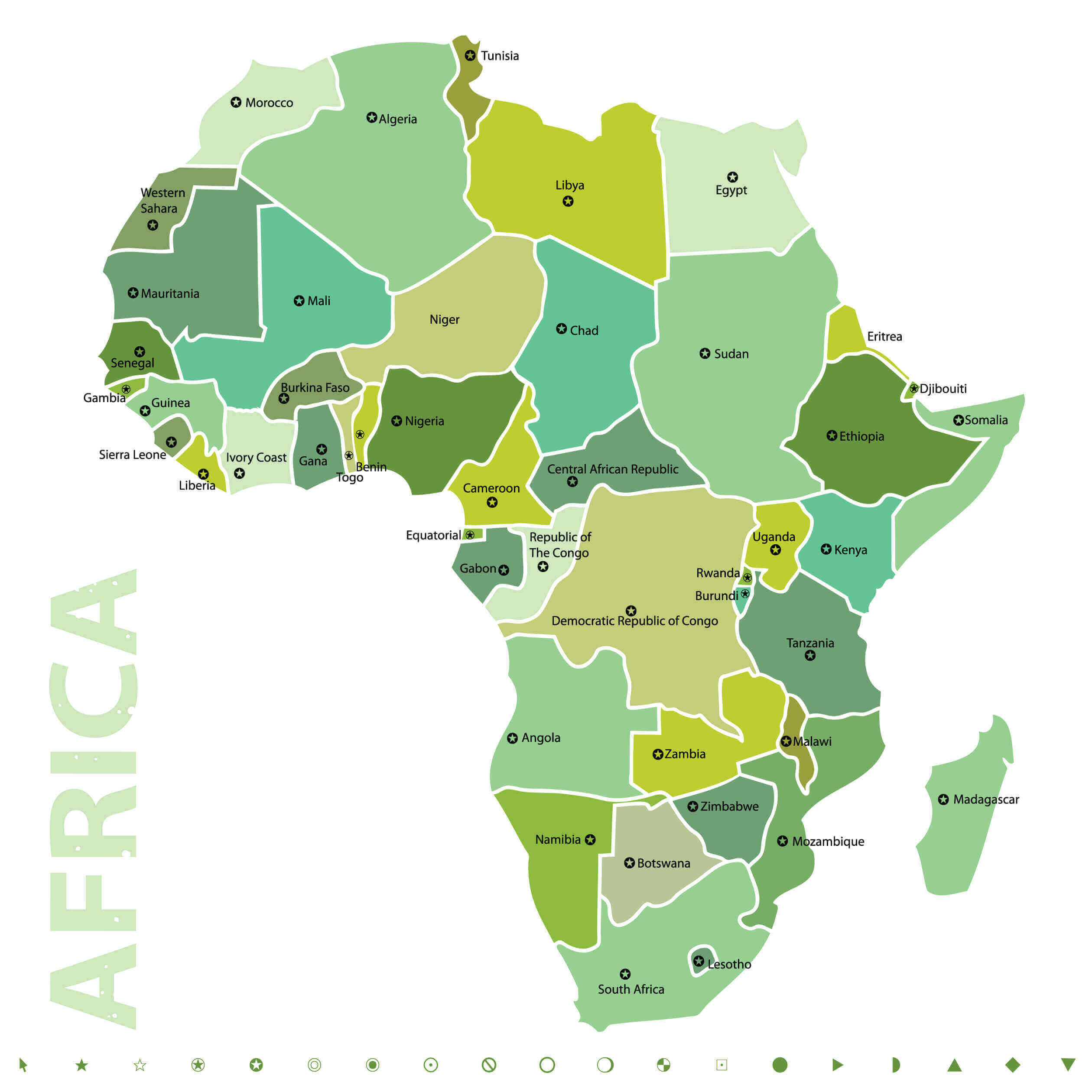
African continent countries political map
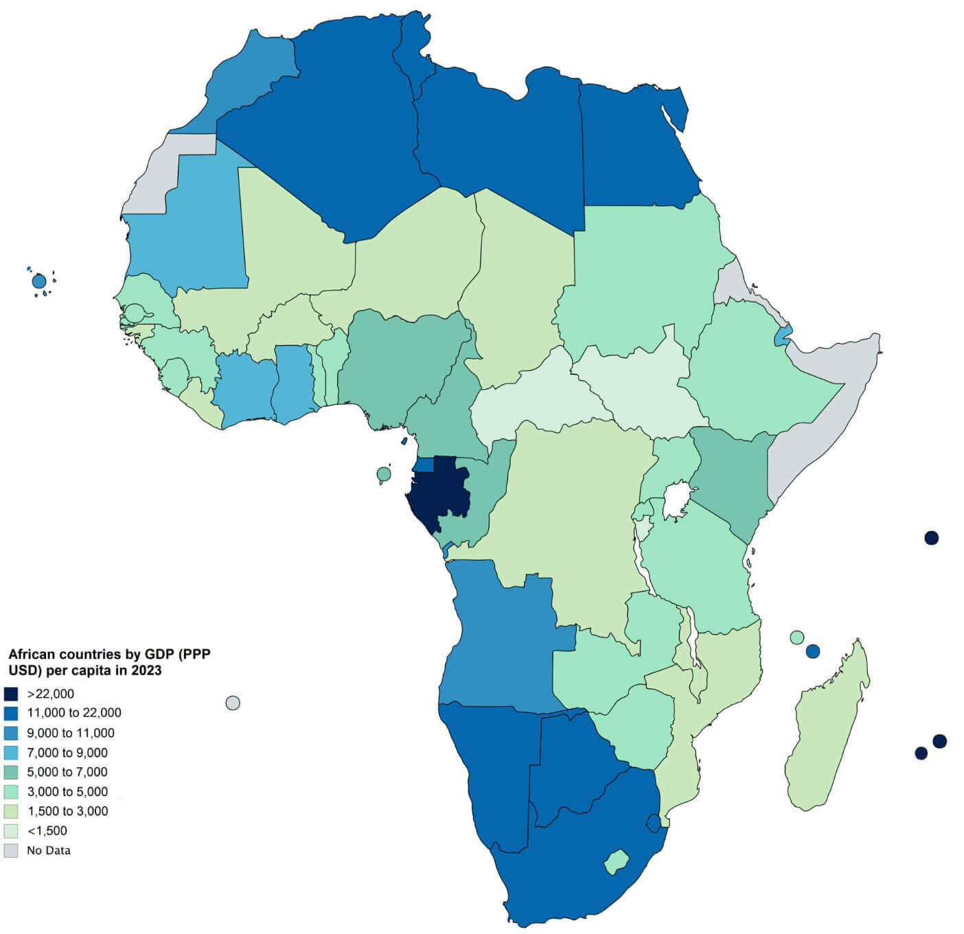
African countries map by GDP
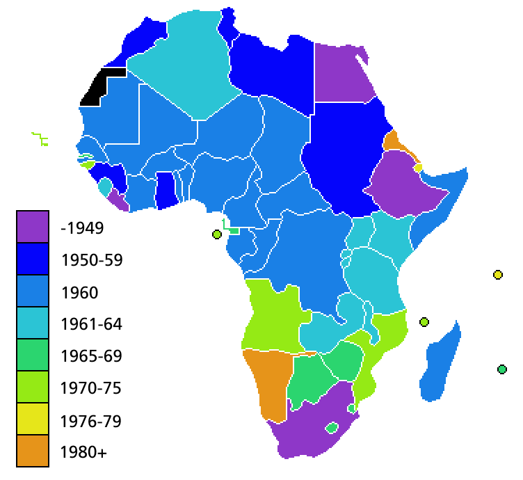
Independence map of African countries
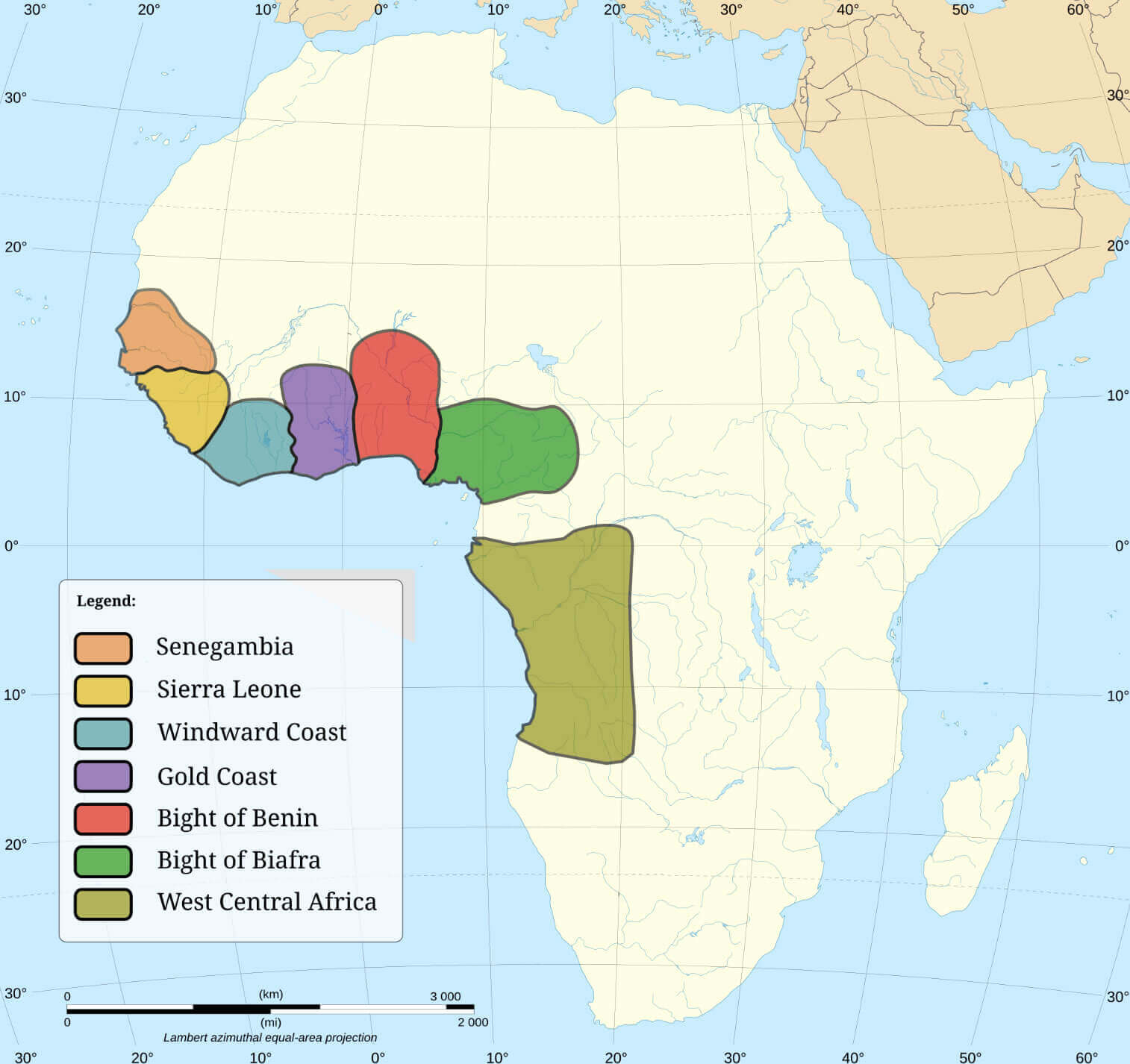
Major slave trading regions of Africa
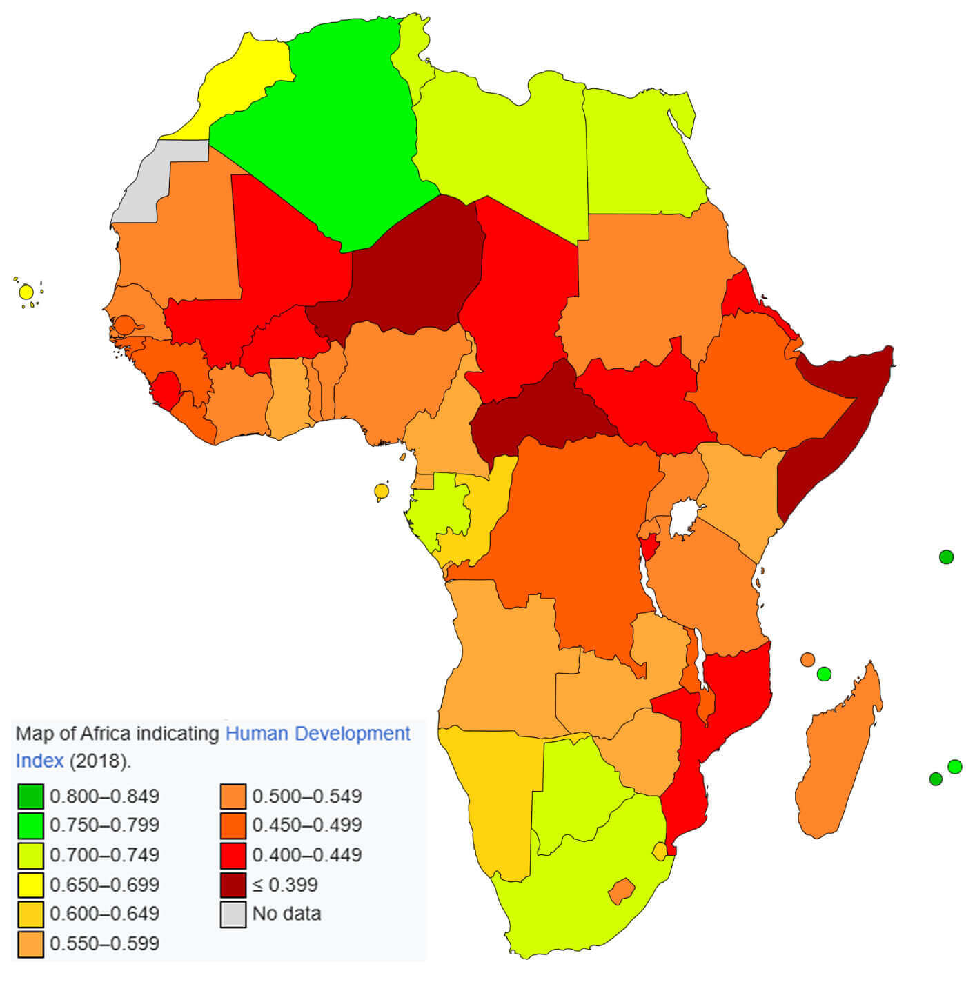
Map of Africa indicating human development index
Map of Africa with countries
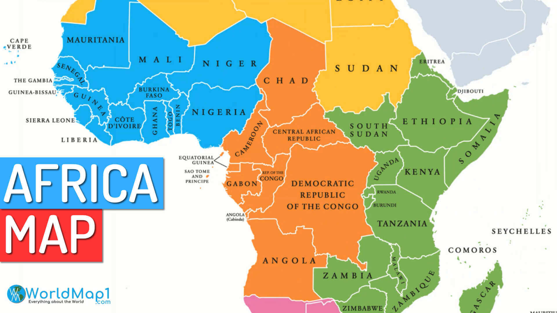
Map of Africa with regional countries
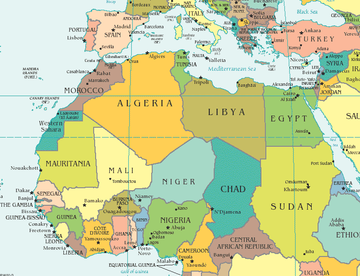
North African countries map
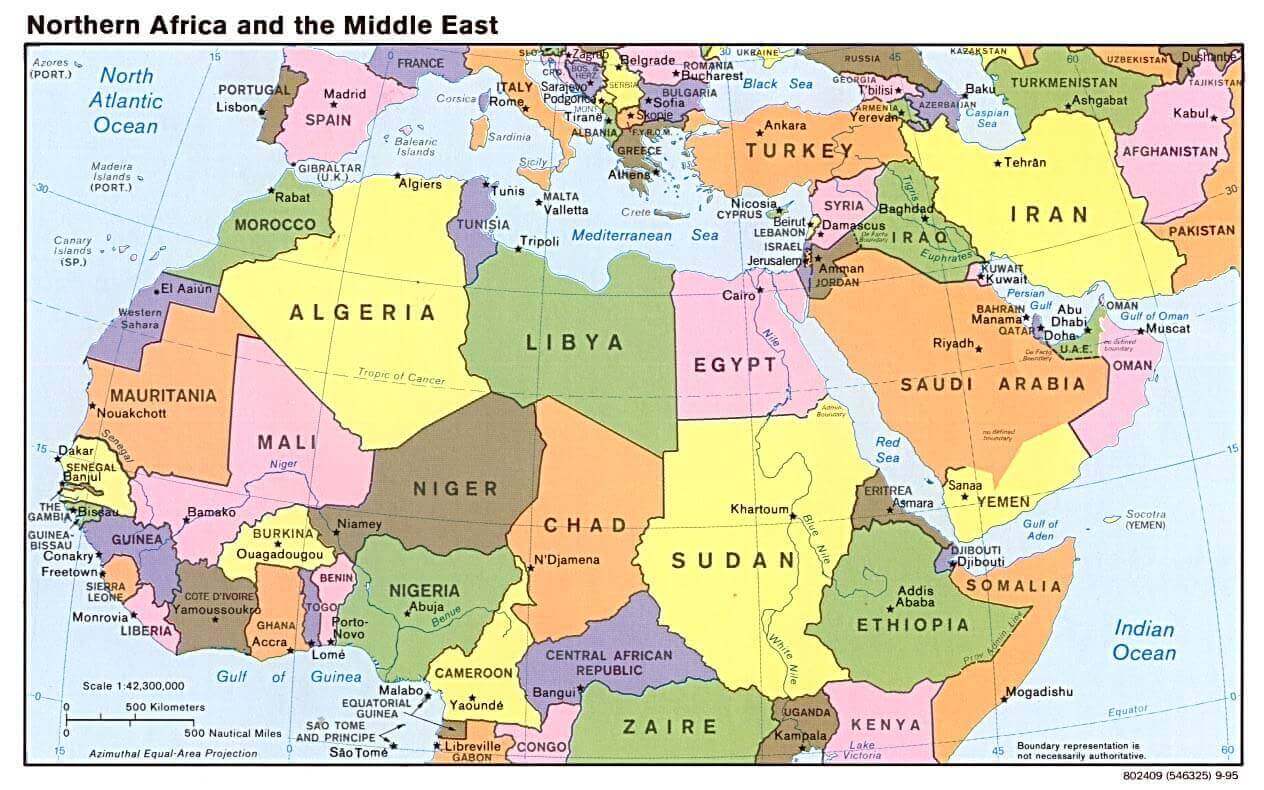
Northern Africa middle east map 1995
Vector map of Africa
World and countries major cities map
World continents and Africa map
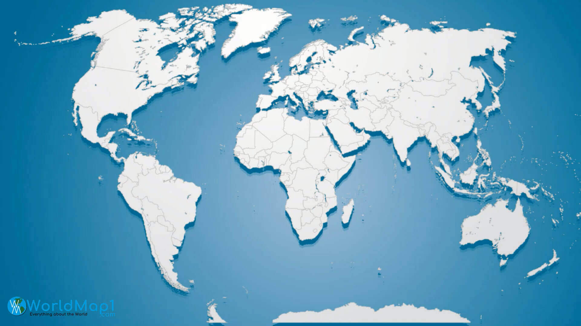
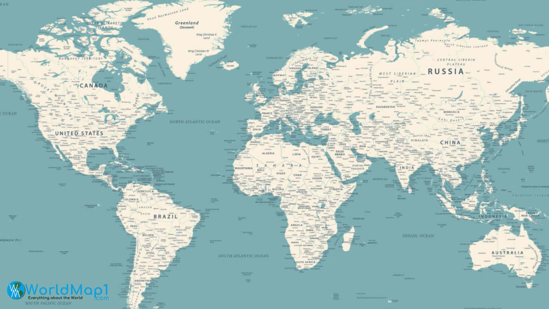
World countries and regions map
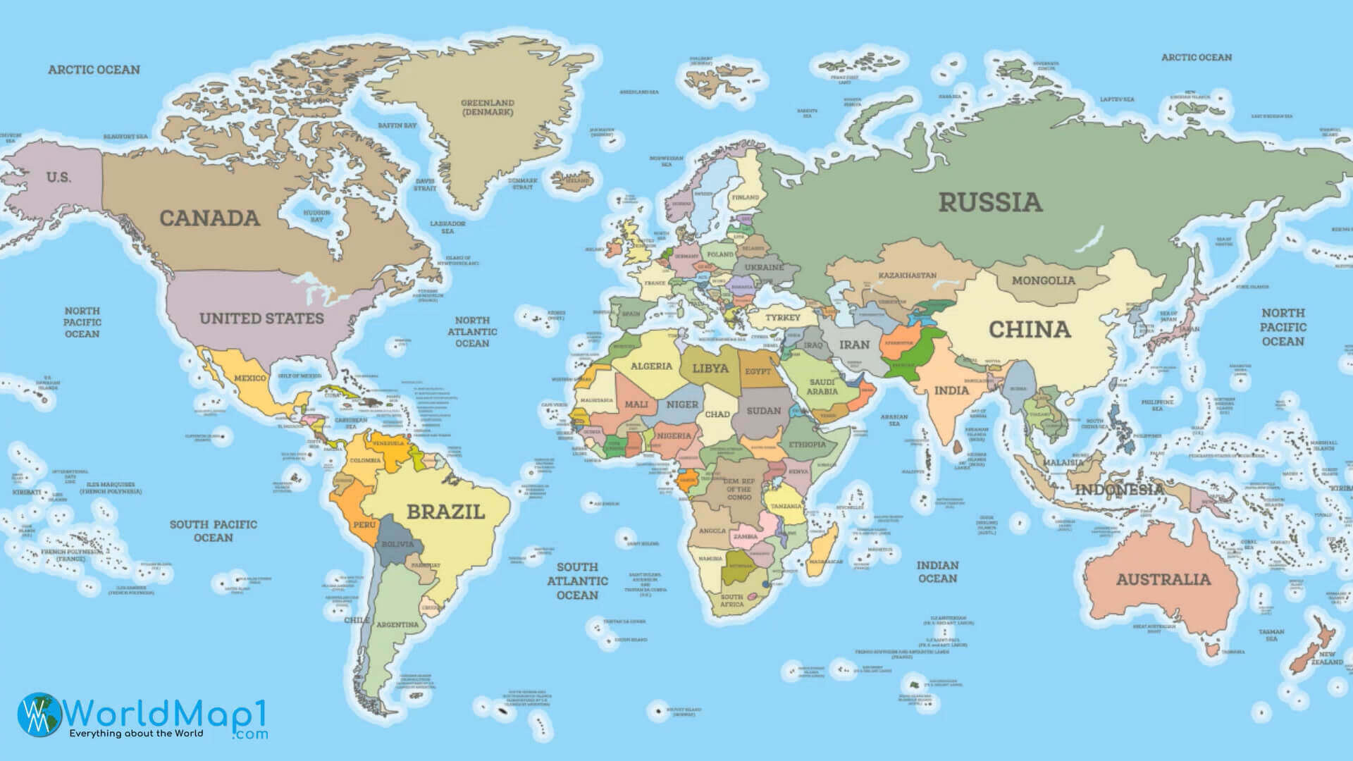
World map with Africa countries
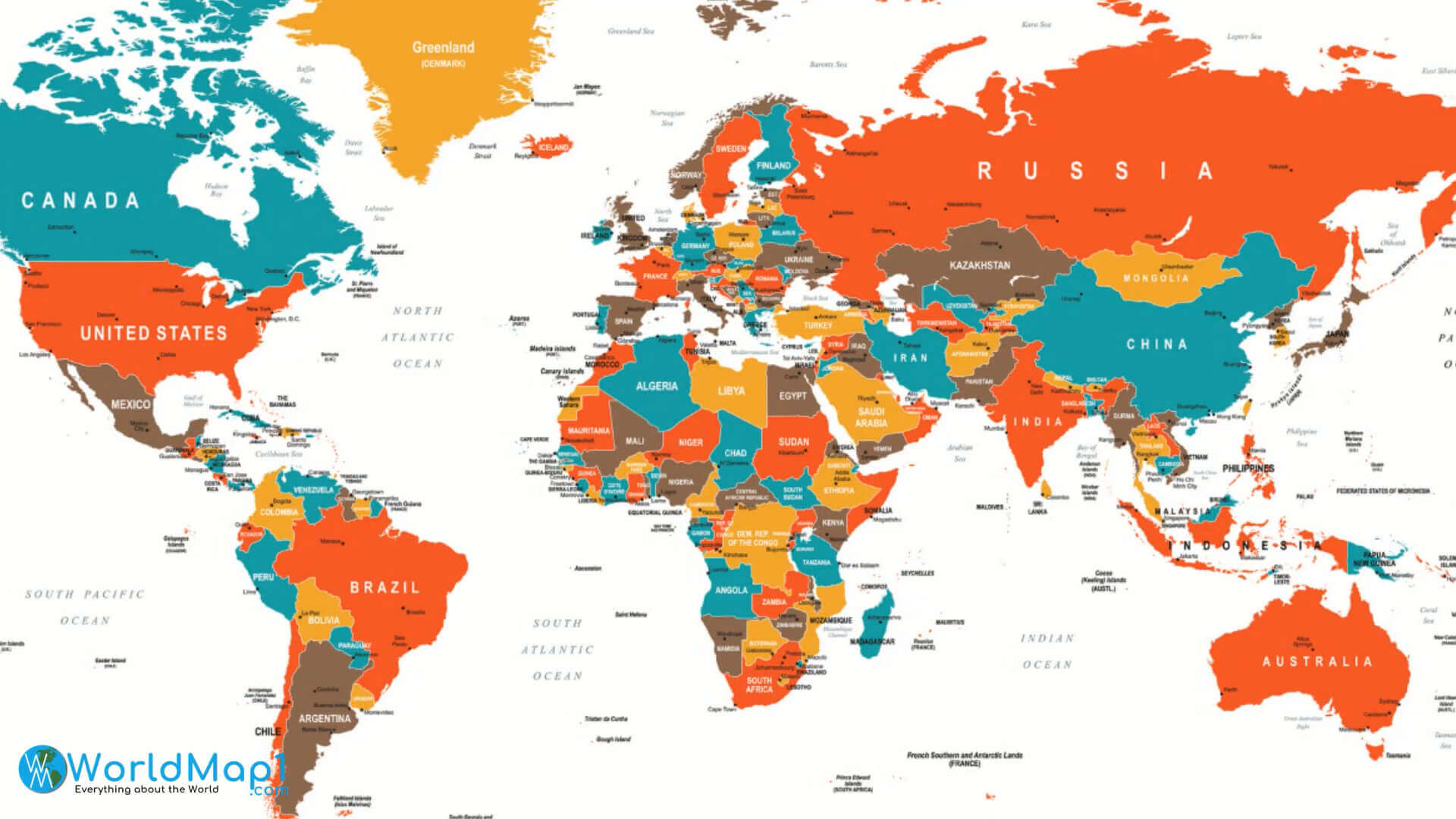
World map with countries border
Author: Arif Cagrici