Map Africa
Navigate Africa Map, countries map, satellite images of the Africa, largest cities maps, political map, capitals and physical maps.
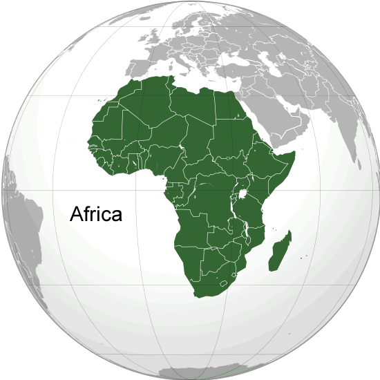
Africa Map
Africa
Map of Africa
For more about Africa Maps >>
For more about Africa Satellite Map >>
World Continents Map
North America Map Asia Map South America Map Europe Map Oceania Map Antarctica MapA Collection of Africa Maps
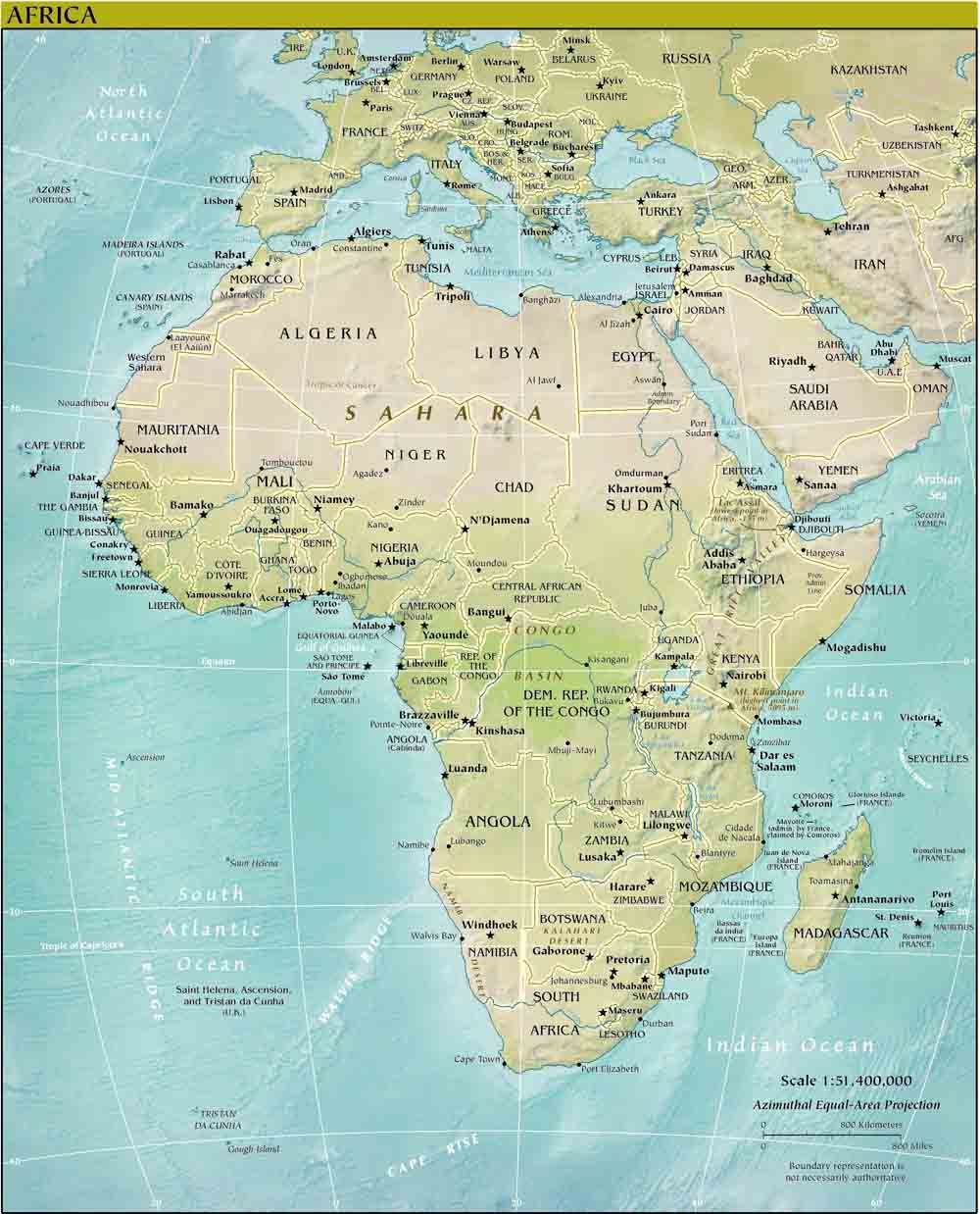
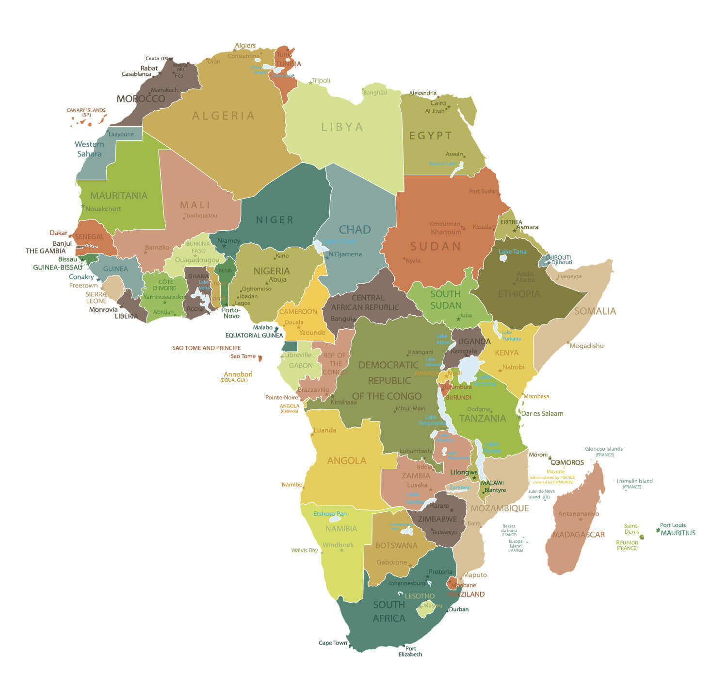
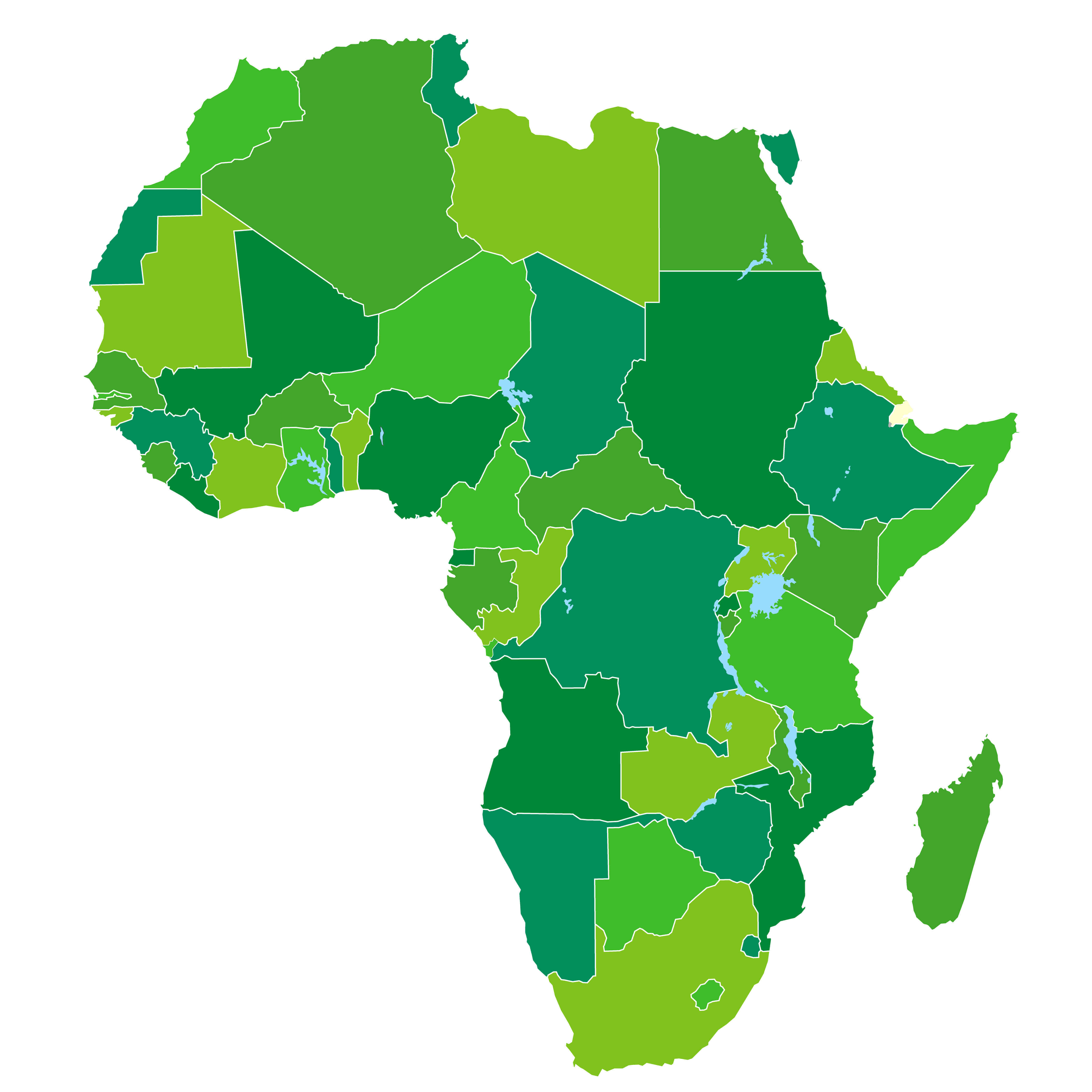
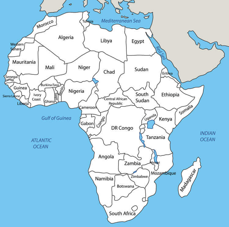
Africa Countries Political Map
 Africa Countries Political Map with national borders.
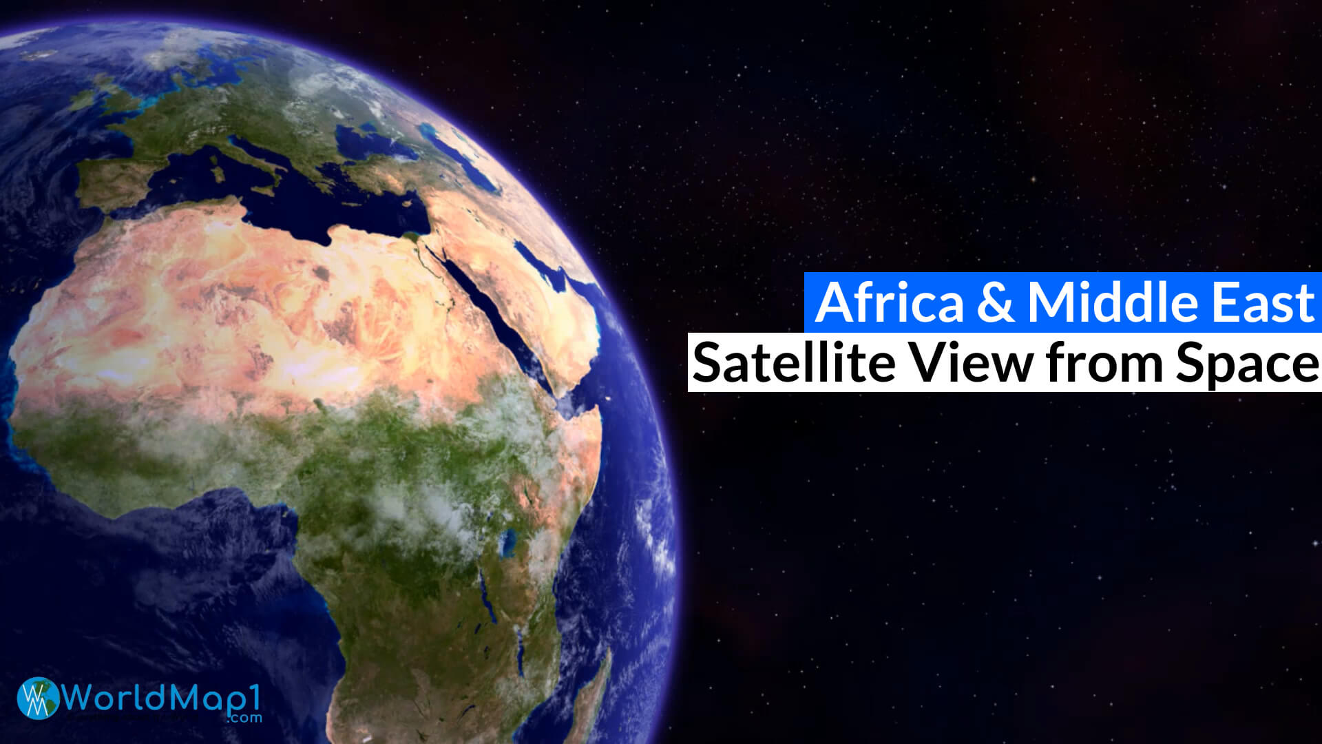
Africa Europe and Middle East from Space
Please view more Africa Countries Maps
- Africa Countries Maps, Satellite Images from Space 1
- Africa Countries Maps, Satellite Images from Space 2
- Africa Countries Maps, Satellite Images from Space 3
- Africa Countries Maps, Satellite Images from Space 4
- Africa Countries Maps, Satellite Images from Space 5
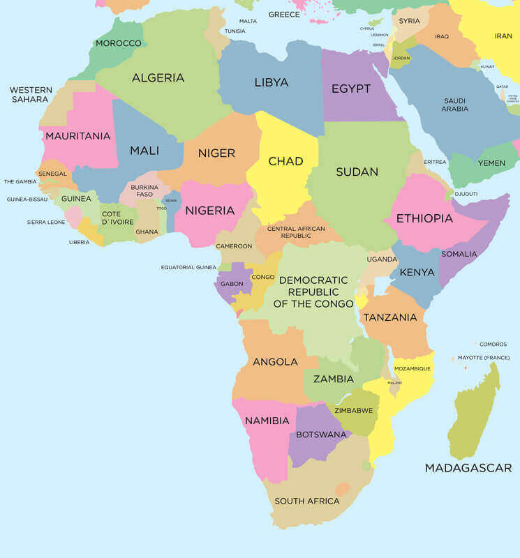
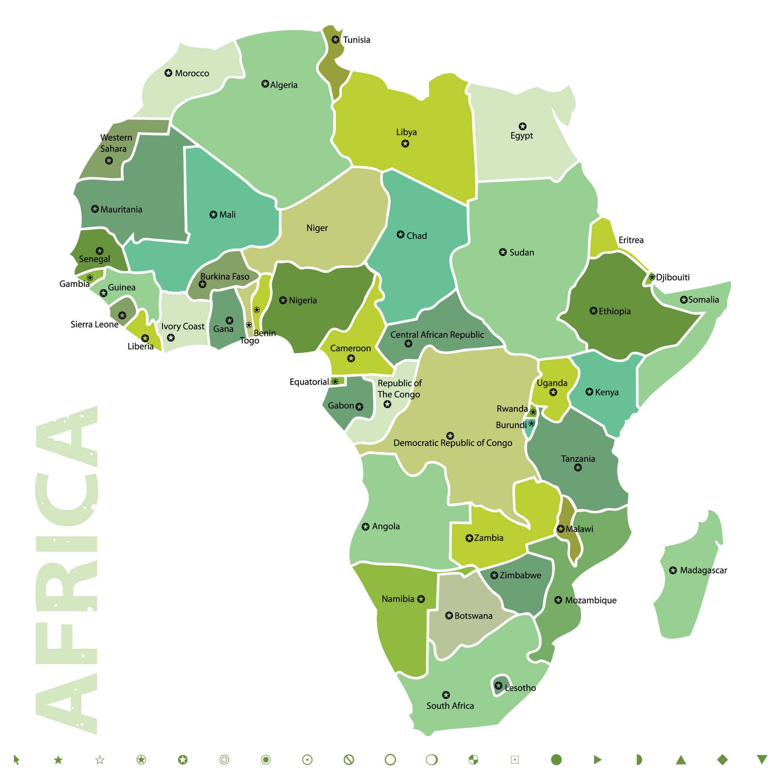
Countries Map of Africa
 Countries Map of Africa, colorful international country borders.
Vector Map of Africa
 Vector Map of Africa with country borders.
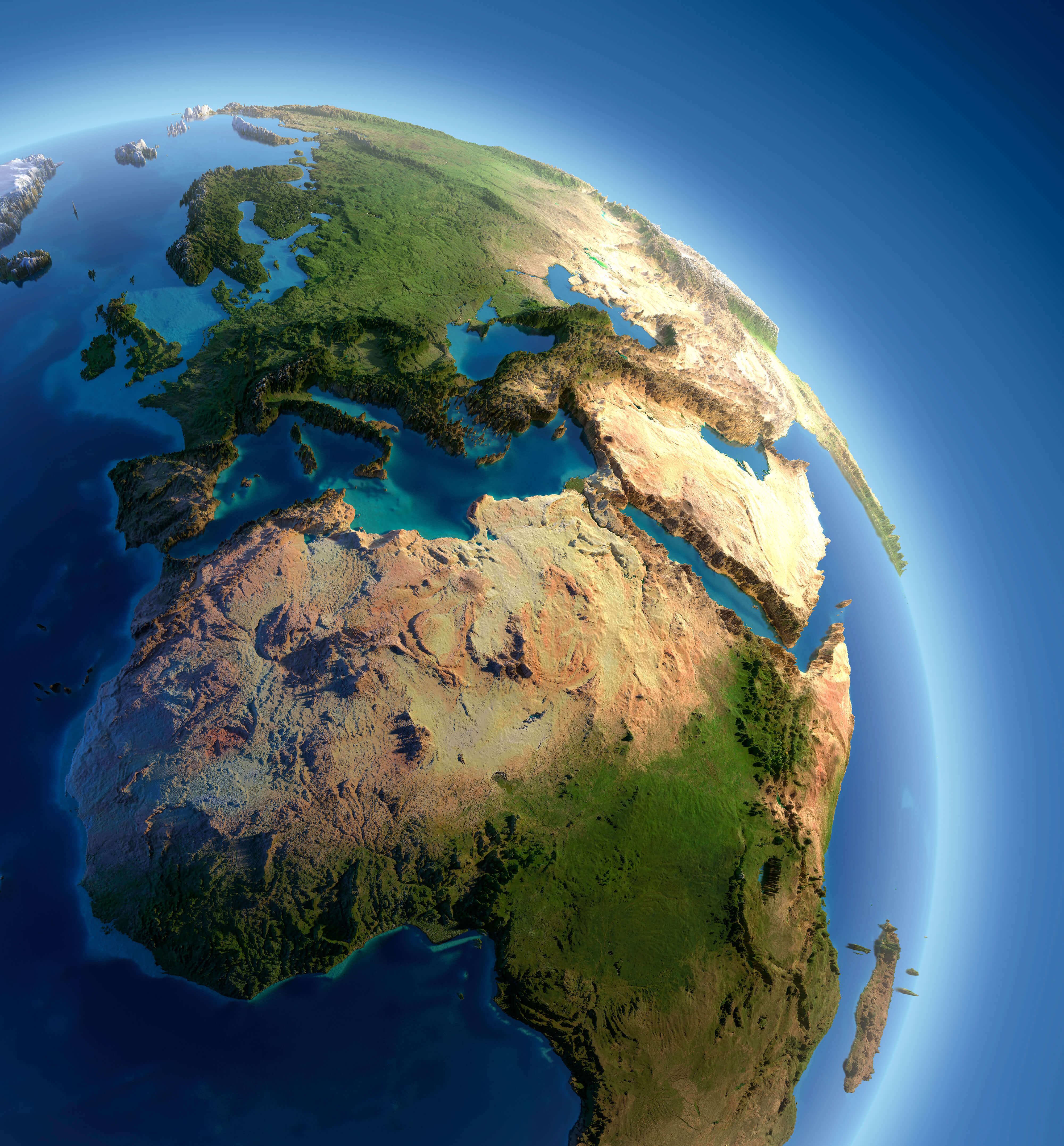
Africa Detailed Topography of Continents
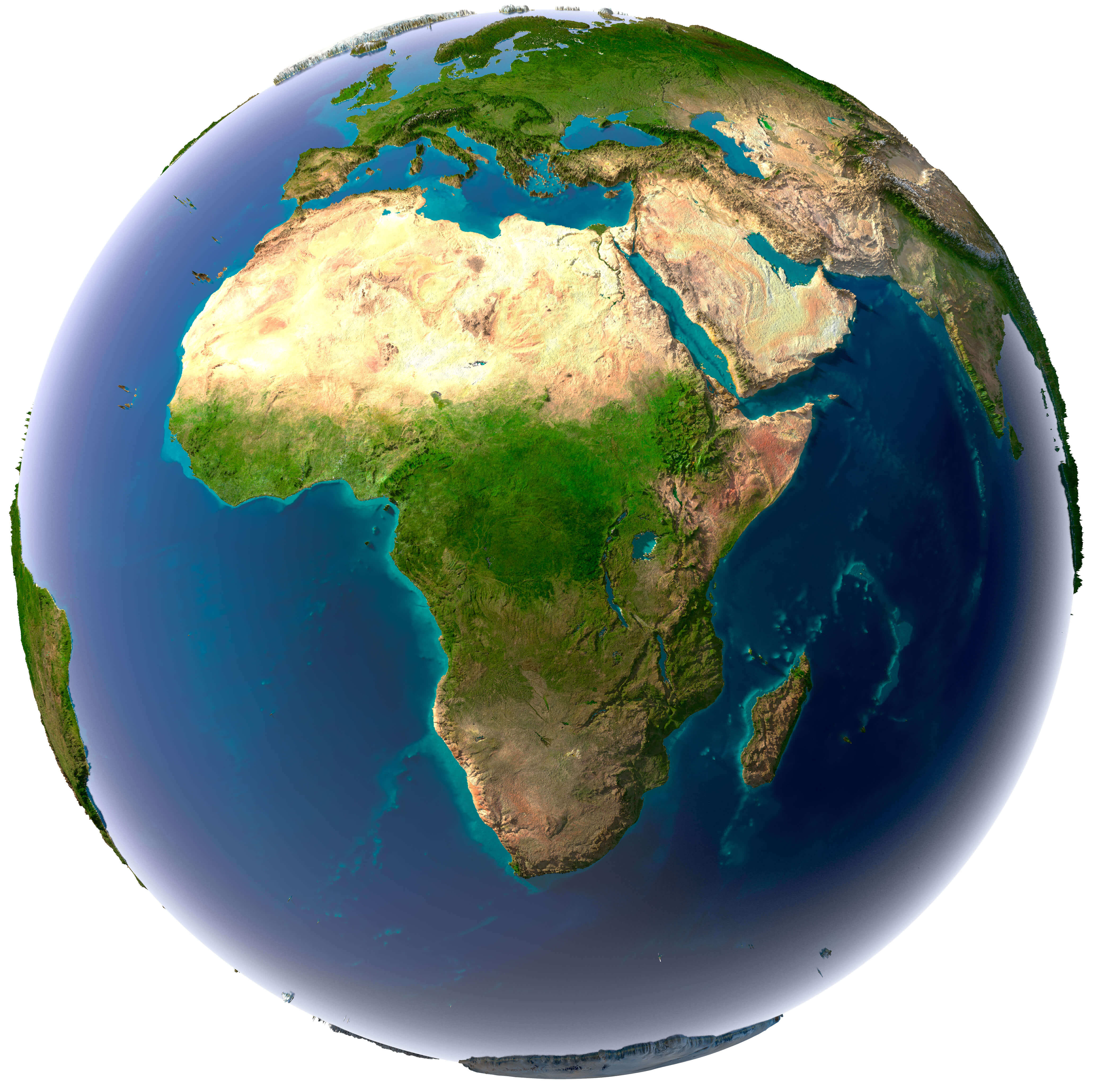 Earth with translucent water in the oceans and the detailed topography of the continents
Africa and 3d Model of the Earth Satellite Image.
 Africa and 3d Model of the Earth Satellite Image, Atlanctic Ocean and Pasific Ocean.
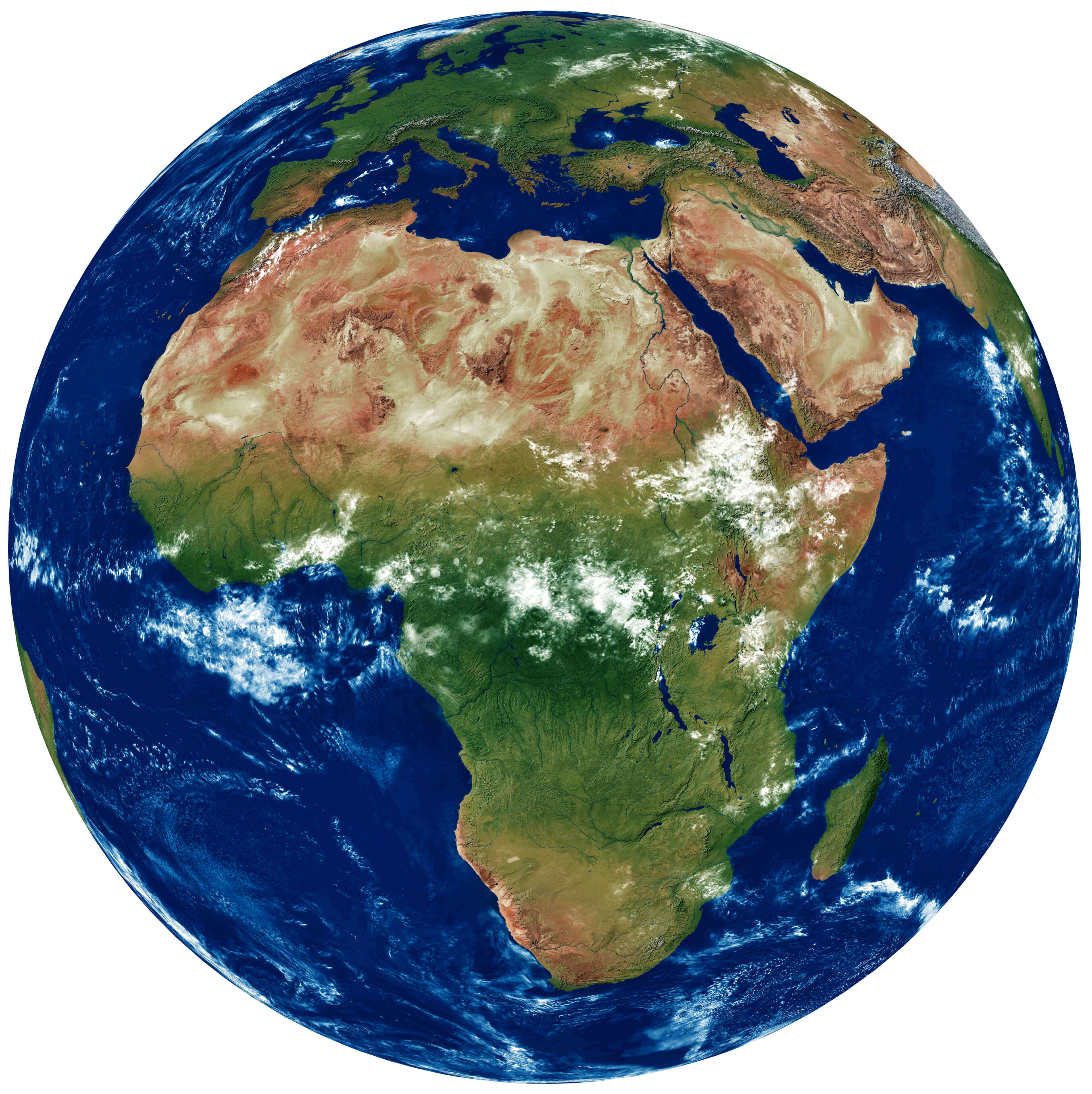
Africa Earth with High Relief Map
 A fragment of the Earth with high relief, detailed surface, translucent ocean and atmosphere, illuminated by sunlight
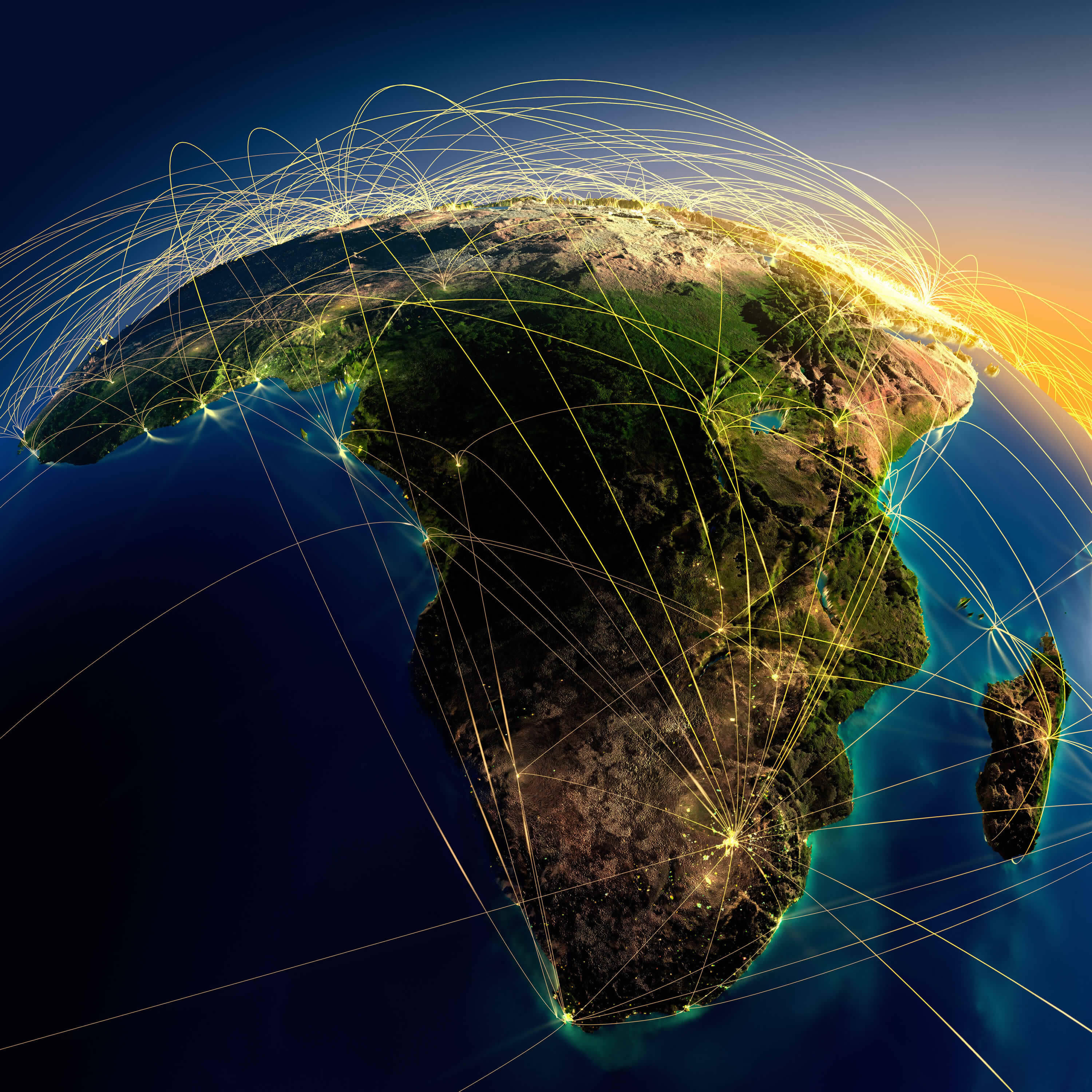
Africa Earth at Night Satellite Image
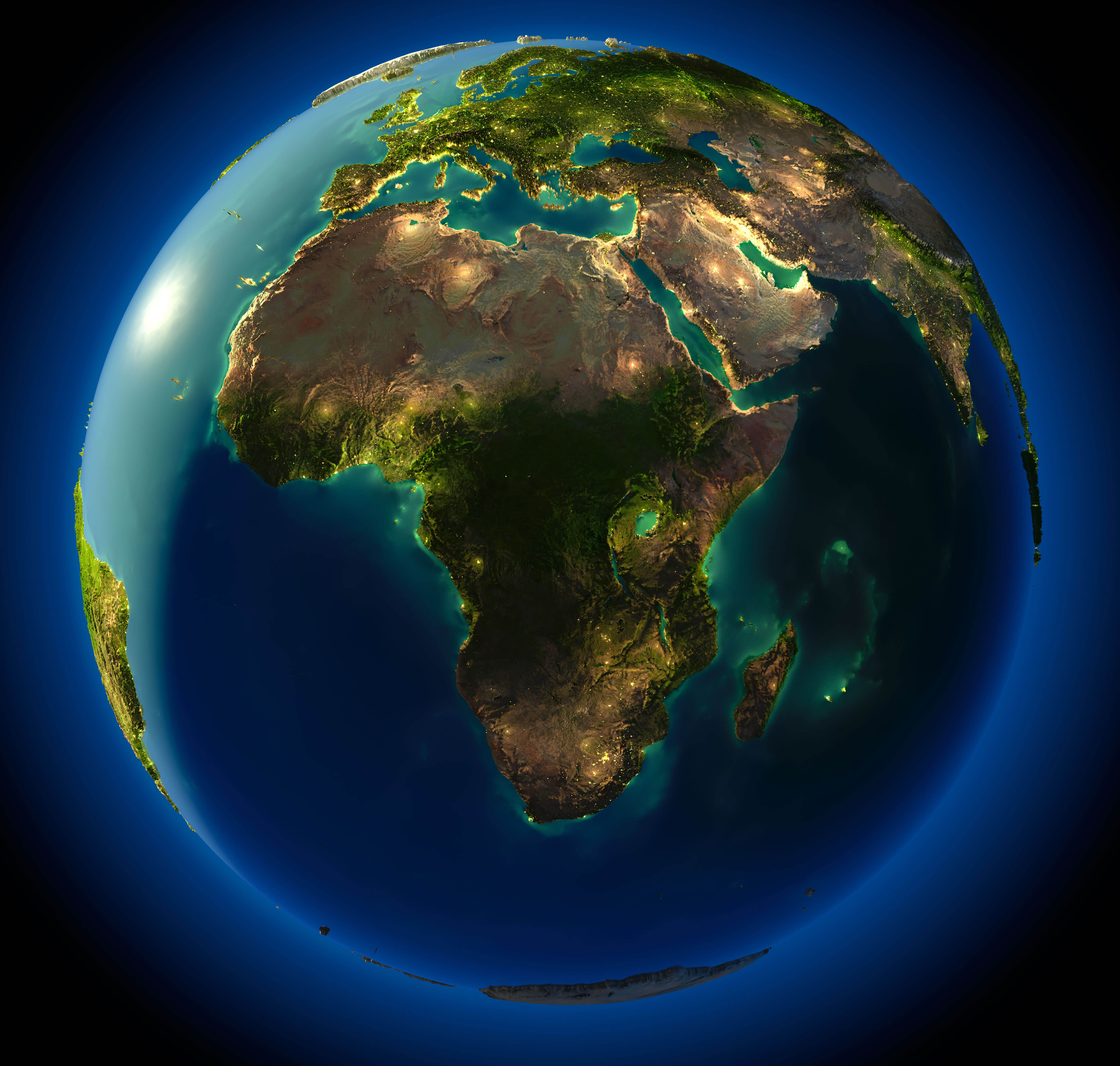 Highly detailed planet Earth at night, with embossed continents, illuminated by light of cities. Earth is surrounded by a luminous network, representing the major air routes based on real data.
Vintage Map of Africa
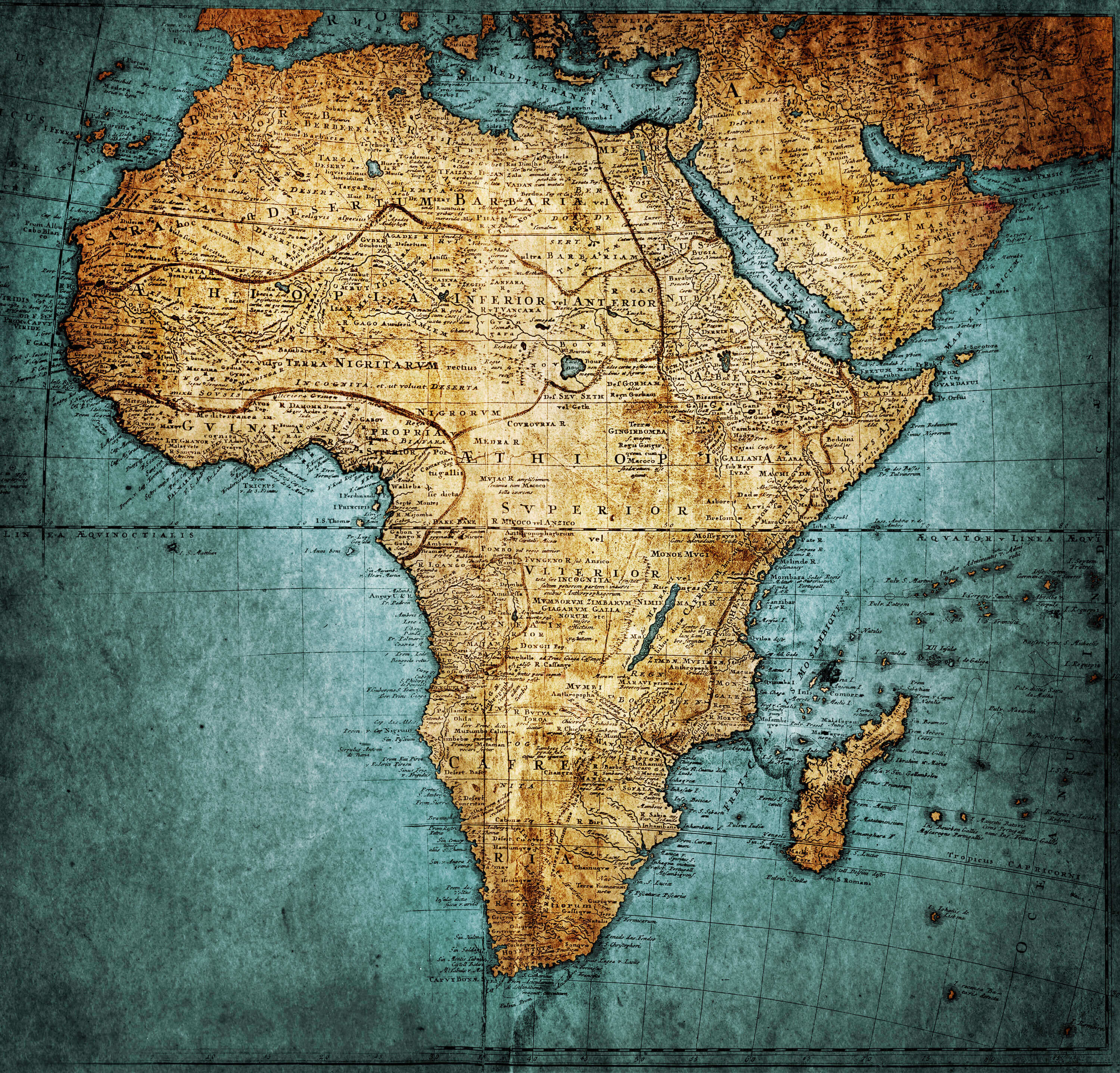 Vintage Map of Africa, publisher: Homannianorum H, 1737 Nuremberg Germany
Africa Blank Map
 Blank Map of Africa with African Countries Borders
Africa and Earth Air Routes on Real Data
 Highly detailed planet Earth at night with embossed continents, illuminated by light of cities. Erath is surrounded by a luminous network, representing the major air lines routes based on real World countries data.
Africa Vector Map
 Africa Vector Map and Africa Countries International Borders
Africa Countries International Borders
 Africa Countries International Borders, Egypte, Sudan, Libya, Tunisia, South Africa, Morocco, Algeria, Nigeria etc.
Coloured political map of Africa
 Coloured political map of Africa with international borders.
Africa Political World Map with Infographic
 Africa Political world map with infographic elements for your designs
High Detailed Africa Physical Map
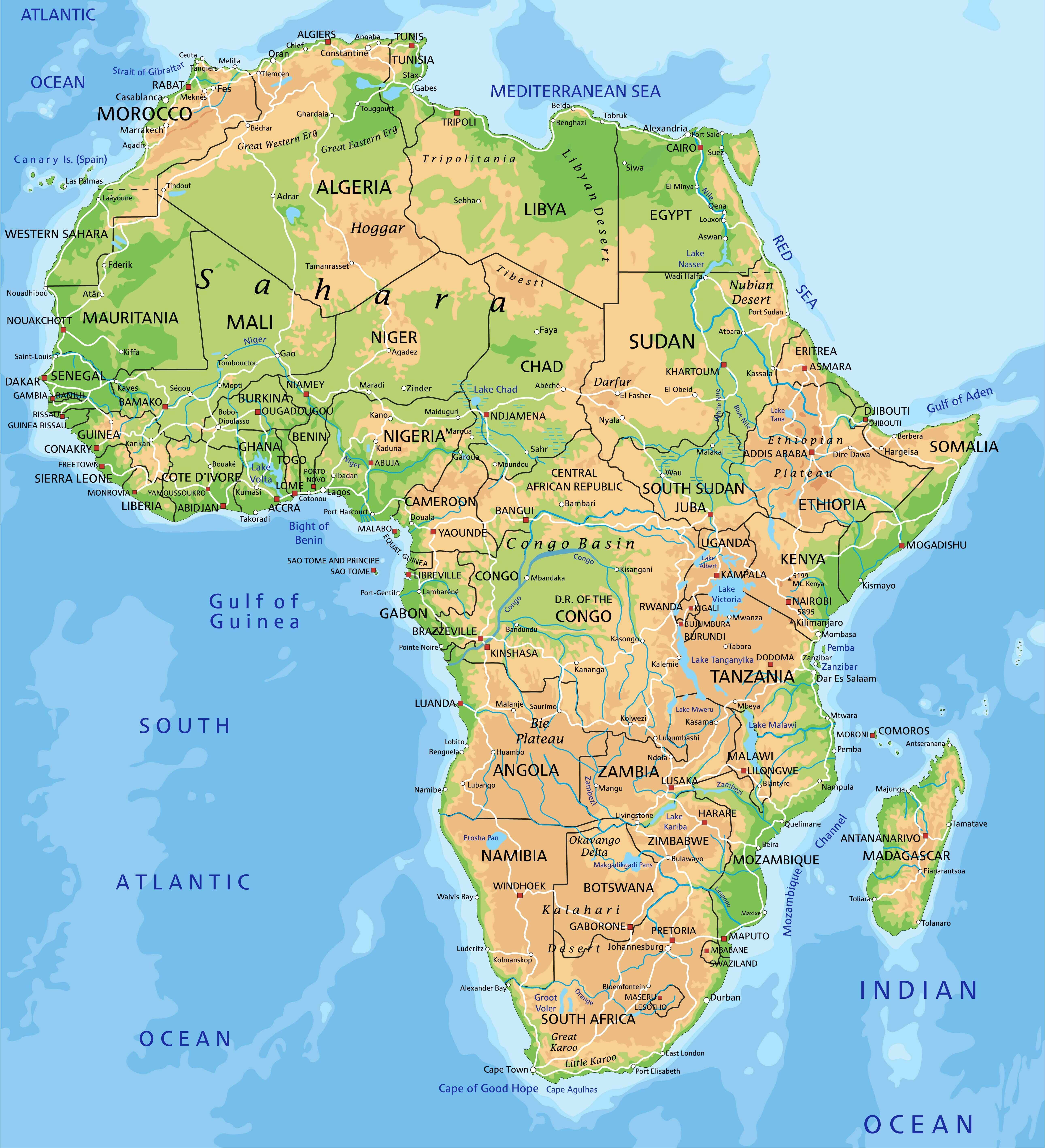 High detailed Africa physical map with countries labeling
Africa Physical Map of the World
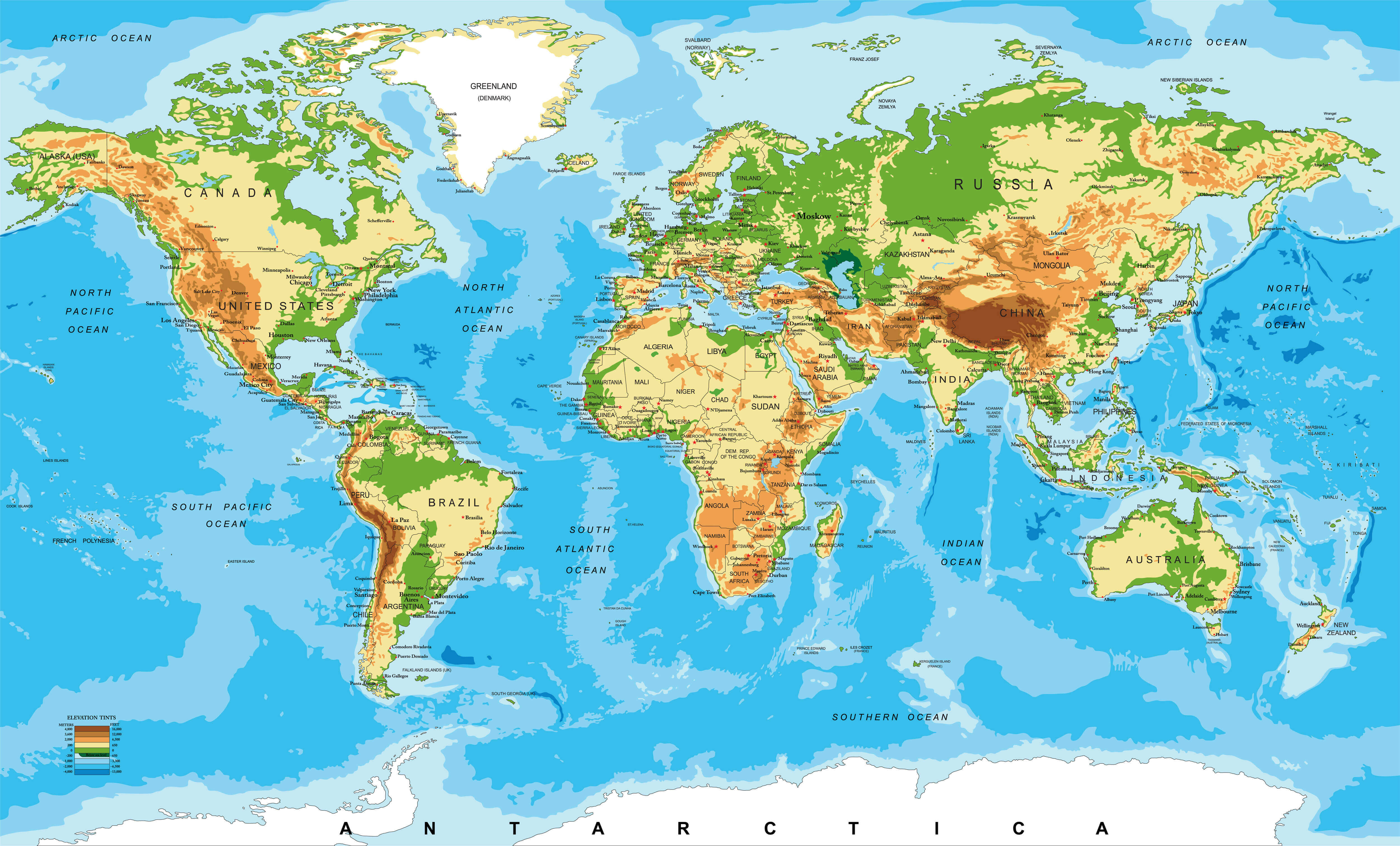 Africa Physical map of the World
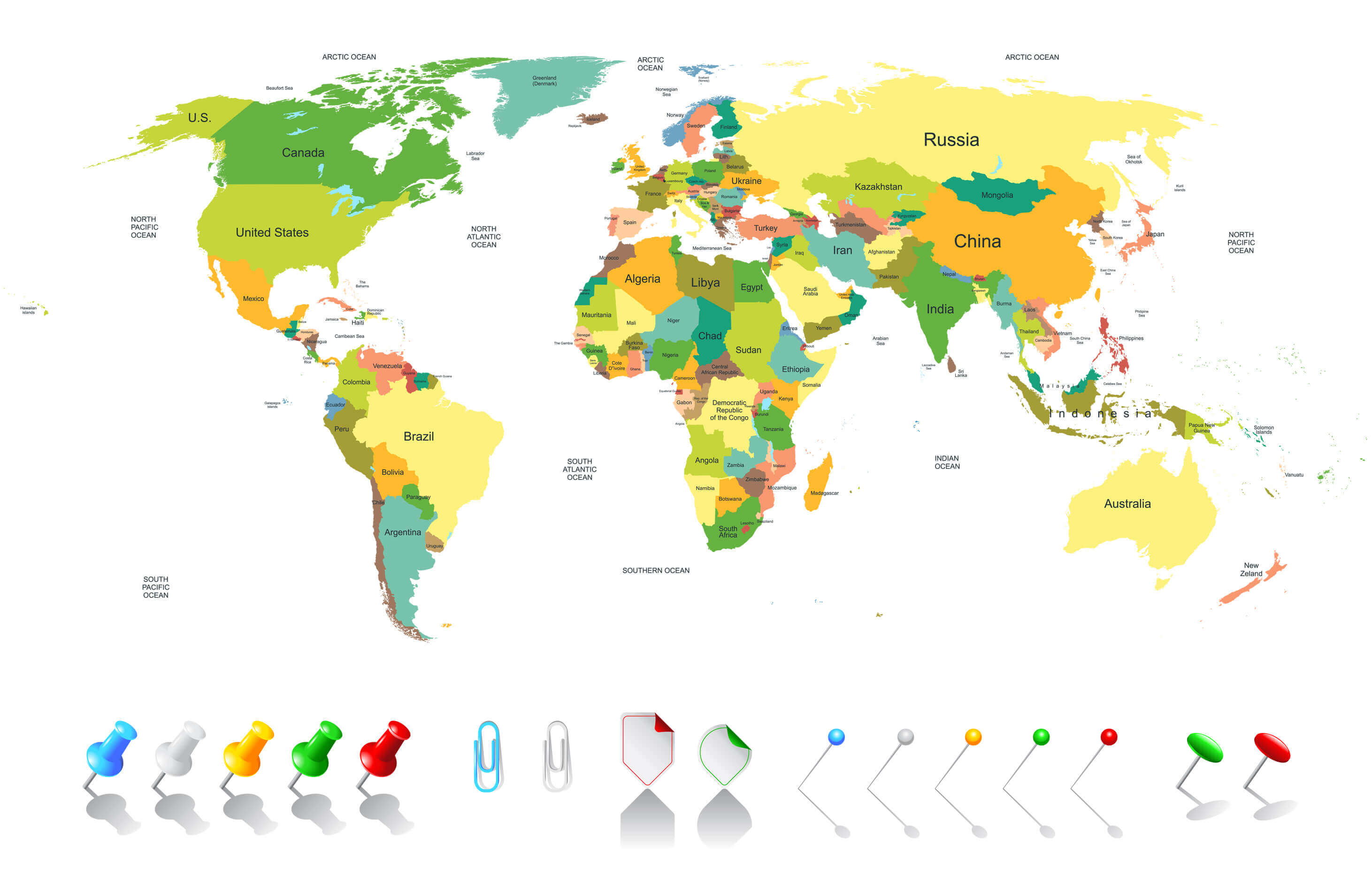
Colored World Map Africa
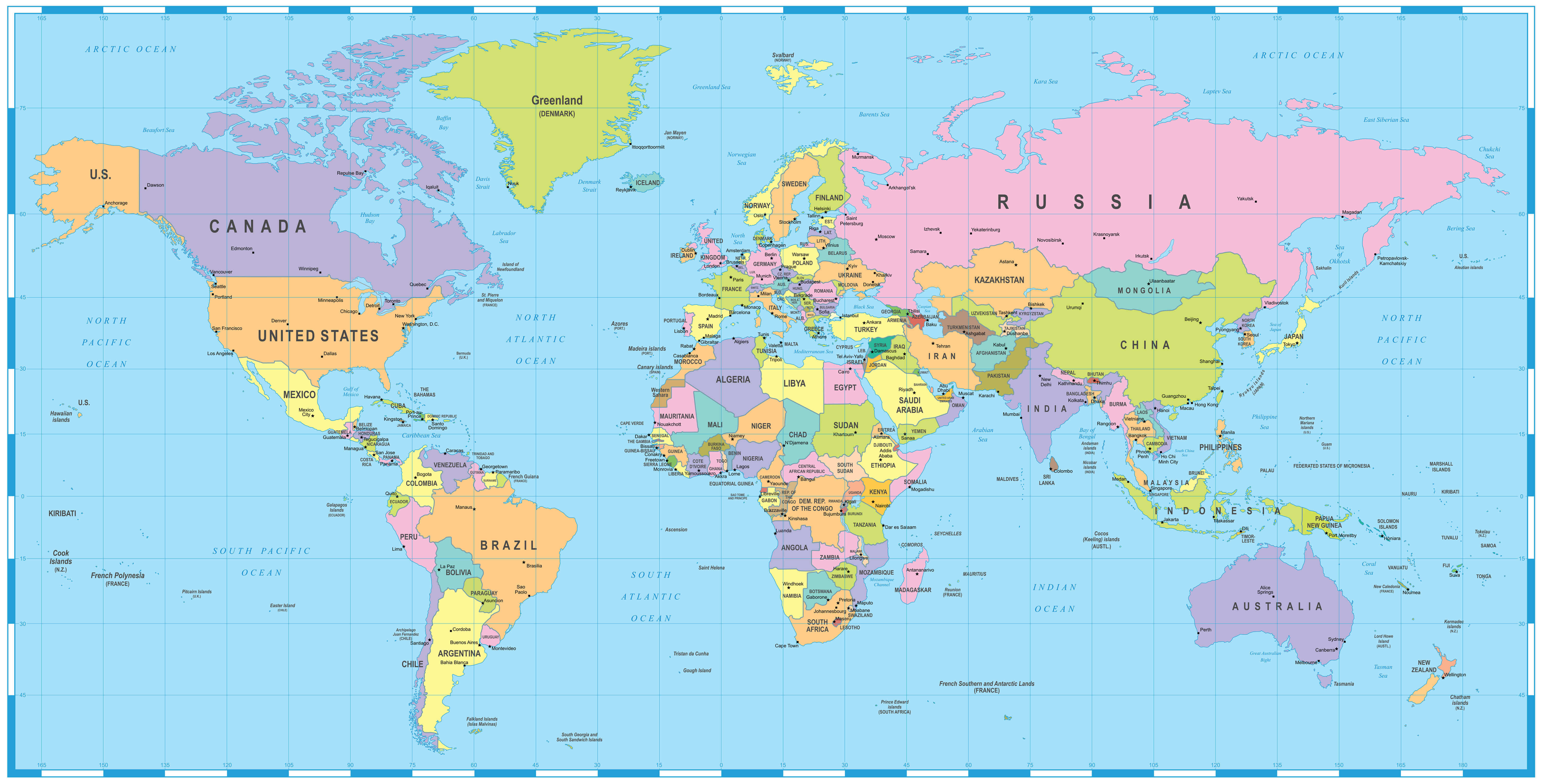 Colored World Map - borders, countries and cities - illustration Image contains next layers: - land contours - country and land names - city names - water object names
Africa Countries Map
Djibouti Map
Egypt Map
Equatorial Guinea Map
Eritrea Map
Ethiopia Map
Gabon Map
Gambia Map
Ghana Map
Guinea Map
Guinea Bissau Map
Ivory Coast Map
Algeria Map
Angola Map
Ascension Island Map
Benin Map
Botswana Map
Burkina Faso Map
Burundi Map
Cameroon Map
Cape Verde Map
Central African Republic Map
Chad Map
Comoros Map
Congo Map
Kenya Map
Lesotho Map
Liberia Map
Libya Map
Madagascar Map
Malawi Map
Mali Map
Mauritania Map
Mauritius Map
Mayotte Map
Morocco Map
Mozambique Map
Namibia Map
Niger Map
Nigeria Map
Tanzania Map
Togo Map
Tristan da Cunha Map
Tunisia Map
Uganda Map
Western Sahara Map
Zambia Map
Zimbabwe Map
Rwanda Map
Saint Helena Map
Sao Tome and Principe Map
Senegal Map
Seychelles Map
Sierra Leone Map
Somalia Map
Somaliland Map
South Africa Map
Sudan Map
Swaziland Map
Africa Map
Cote d'Ivoire Map
Democratic Republic Congo Map
South Sudan Map
Middle East Map
World Top 20 Largest Countries by Population Map
- 1. China Map - 1,439,323,776
- 2. India Map - 1,399,828,108
- 3. United States Map - 333,839,503
- 4. Indonesia Map - 277,749,346
- 5. Pakistan Map - 227,153,261
- 6. Brazil Map - 214,767,569
- 7. Nigeria Map - 213,593,168
- 8. Bangladesh Map - 167,086,674
- 9. Russia Map - 146,025,949
- 10. Mexico Map - 130,911,878
- 11. Japan Map - 125,910,309
- 12. Ethiopia Map - 119,117,925
- 13. Philippines Map - 111,711,419
- 14. Egypt Map - 105,152,003
- 15. Vietnam Map - 98,618,321
- 16. Democratic Republic Congo (DRC) Map - 93,531,207
- 17. Turkey Map - 85,664,955
- 18. Iran Map - 85,563,317
- 19. Germany Map - 84,175,561
- 20. Thailand Map - 68,407,231