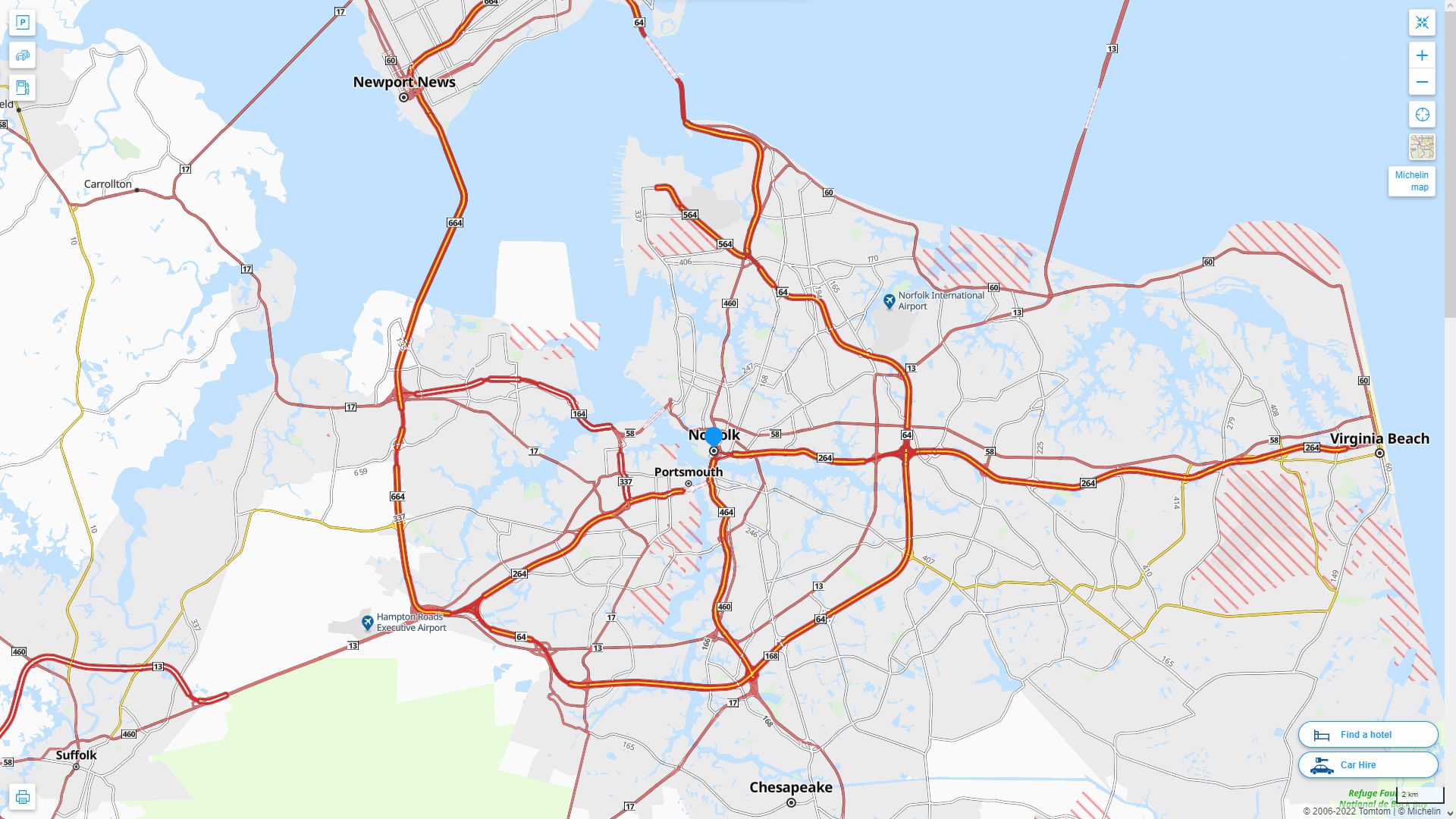
Norfolk Virginia Map
Navigate Norfolk, Virginia Map, map of Norfolk, Norfolk Virginia regions map, Norfolk satellite image, towns map, road map of Norfolk.
Norfolk Virginia Map FQA
Can I download a high-resolution map of Norfolk Virginia ?
Yes. Download high-resolution political and physical maps of Norfolk Virginia for personal or educational use. Redistribution is subject to the terms of our license.Virginia Map
States Map of USA
Map of Norfolk Virginia, Virginia
norfolk virginia map usa
A Collection of Norfolk Virginia Maps
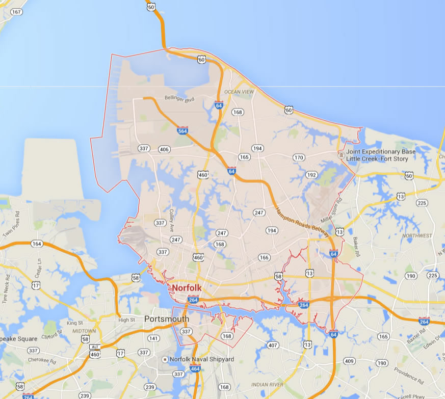
NORFOLK VIRGINIA MAP USA
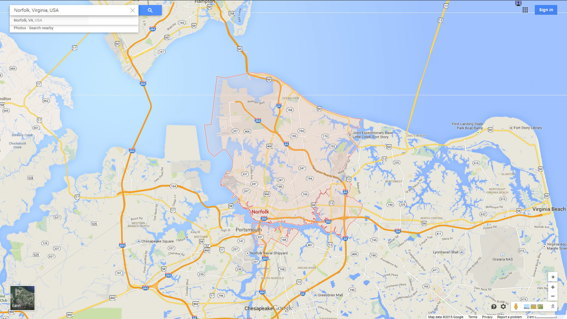
NORFOLK MAP VIRGINIA US
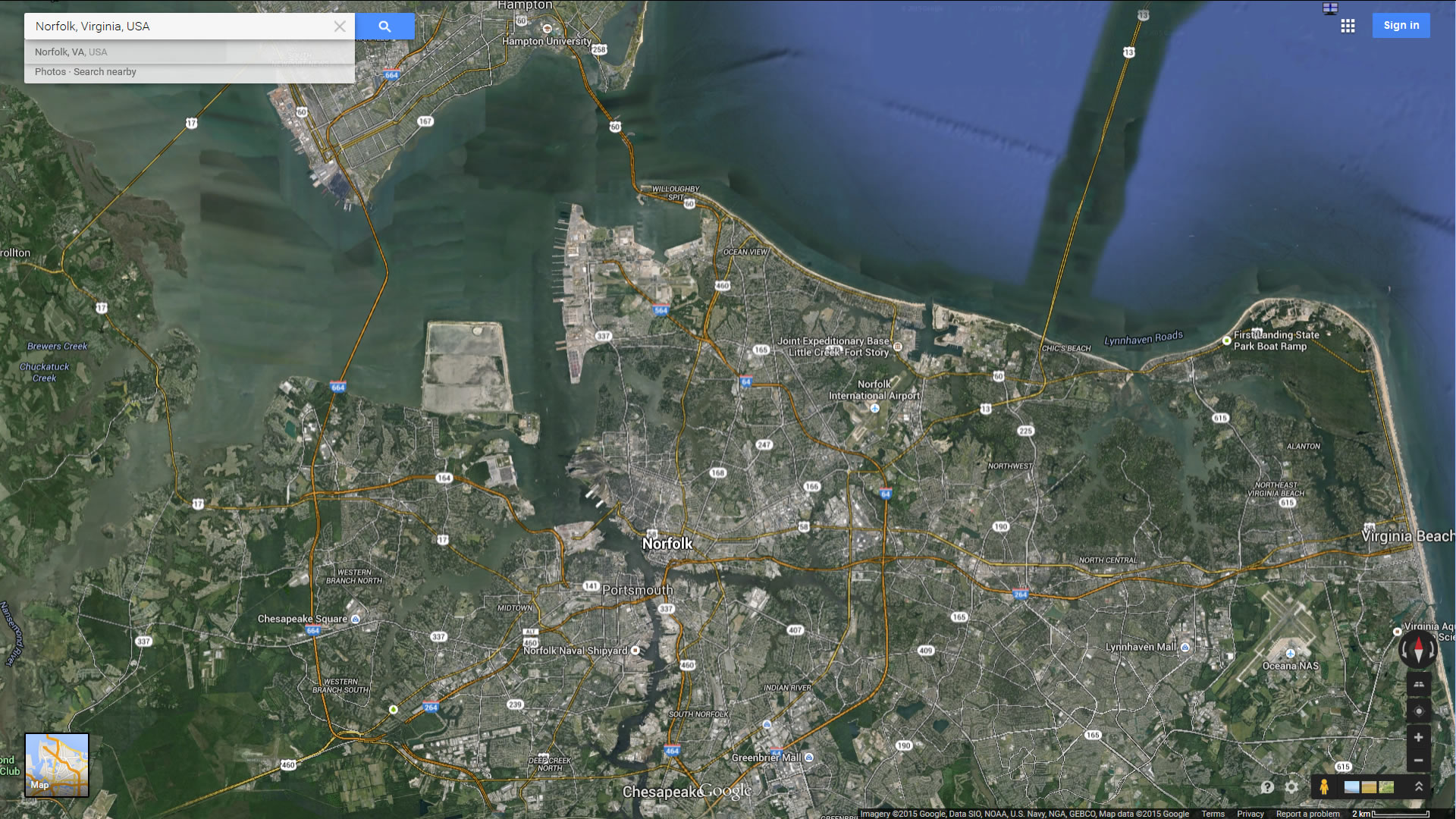
NORFOLK MAP VIRGINIA US SATELLITE
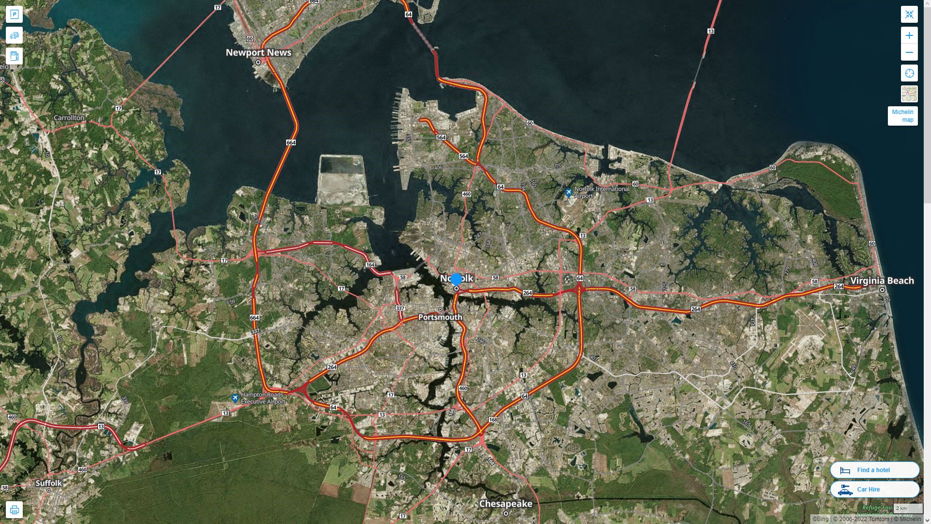
NORFOLK VIRGINIA HIGHWAY AND ROAD MAP WITH SATELLITE VIEW
NORFOLK VIRGINIA HIGHWAY AND ROAD MAP
Largest Virginia Cities by Population
Virginia Beach Map Norfolk Map Chesapeake Map Arlington Map Richmond Map Newport News Map Alexandria Map Hampton Map Roanoke Map Portsmouth Map Suffolk Map Lynchburg Map Centreville Map Dale City Map Reston Map Richlands MapWhispers of Arlington (Virginia): A Visual Journey Through Time and Culture
Please subscribe on "World Guide" channnel on Youtube at youtube.com/c/WorldGuide
The Earth, North America and Countries View from Space - Day Time and in the Night
For all Virginia Cities Map
Norfolk Virginia Google Map, Street Views, Maps Directions, Satellite Images
WorldMap1.com offers a collection of Norfolk Virginia map, google map, Norfolk Virginia atlas, political, physical, satellite view, country infos, cities map and more map of Norfolk Virginia.