
Peoria illinois Map

Navigate Peoria, Illinois Map, map of Peoria, Peoria illinois regions map, Peoria satellite image, towns map, road map of Peoria.
Illinois Map
States Map of USA
A Collection of Peoria illinois Maps
peoria illinois map usa
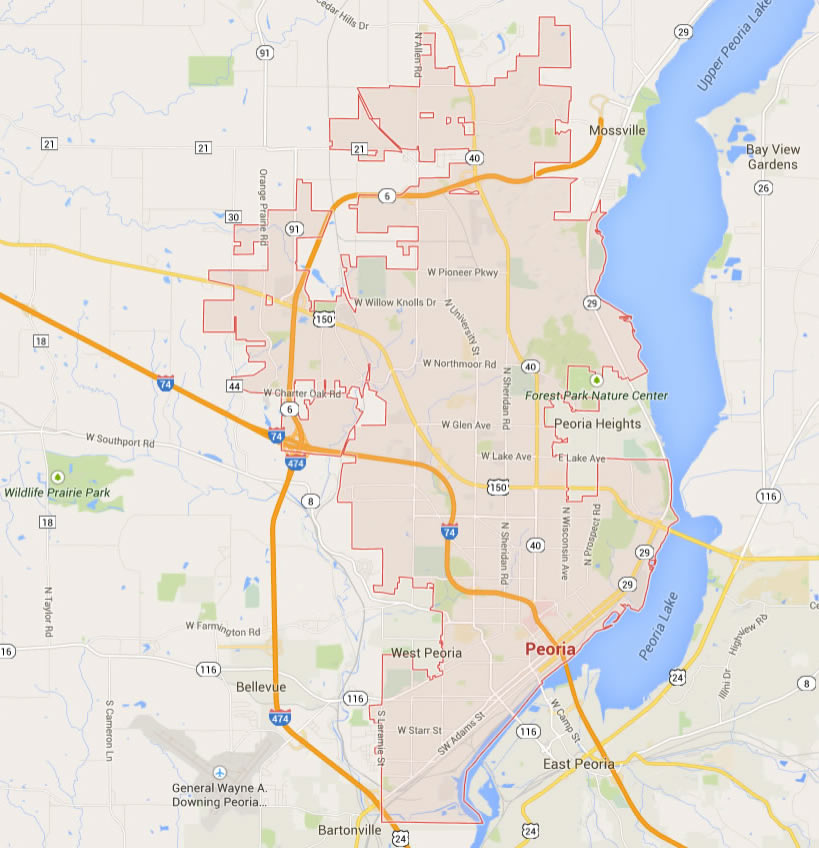
peoria map illinois us

peoria map illinois us satellite

Peoria illinois Highway and Road Map with Satellite View

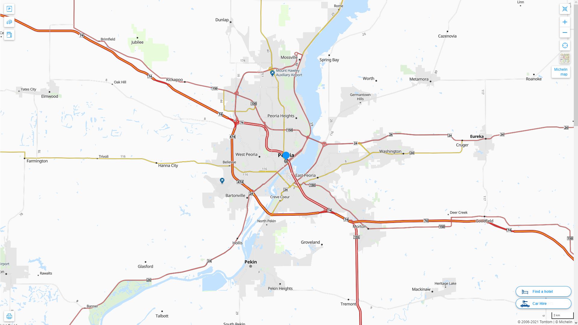
Peoria illinois Highway and Road Map
Largest Illinois Cities by Population
Chicago Map Aurora Map Rockford Map Joliet Map Naperville Map Springfield Map Peoria Map Elgin Map Waukegan Map Cicero Map Champaign Map Bloomington Map Decatur Map Arlington Heights Map Evanston Map Schaumburg Map Bolingbrook Map Palatine Map Skokie Map Des Plaines Map Orland Park Map Tinley Park Map Oak Lawn Map Berwyn Map Mount Prospect Map Wheaton Map Normal Map Hoffman Estates Map Oak Park MapFor all Illinois Cities Map
Peoria illinois Google Map, Street Views, Maps Directions, Satellite Images
WorldMap1.com offers a collection of Peoria illinois map, google map, Peoria illinois atlas, political, physical, satellite view, country infos, cities map and more map of Peoria illinois.