Gadsden Alabama Map
Navigate Gadsden, Alabama Map, map of Gadsden, Gadsden Alabama regions map, Gadsden satellite image, towns map, road map of Gadsden.
Gadsden Alabama Map FQA
Can I download a high-resolution map of Gadsden Alabama ?
Yes. Download high-resolution political and physical maps of Gadsden Alabama for personal or educational use. Redistribution is subject to the terms of our license.Alabama Map
States Map of USA
Map of Gadsden Alabama, Alabama
Gadsden map
A Collection of Gadsden Alabama Maps
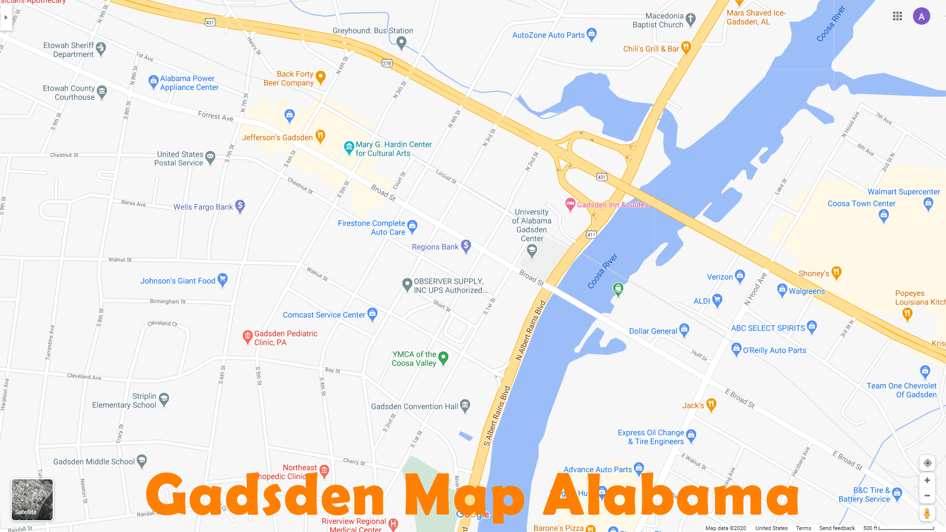
GADSDEN MAP

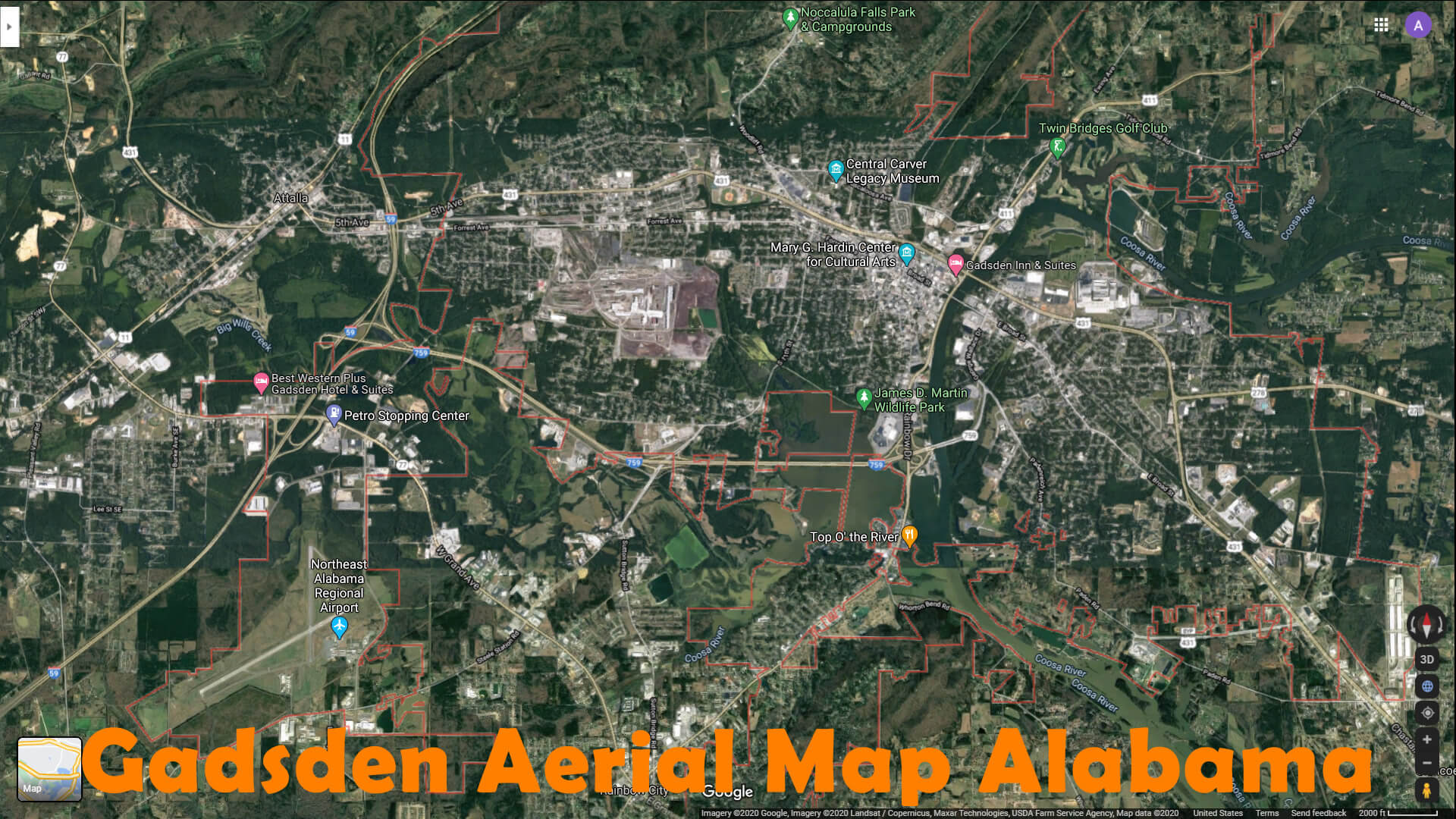
GADSDEN AERIAL MAP ALABAMA
GADSDEN ALABAMA USA

GADSDEN ALABAMA

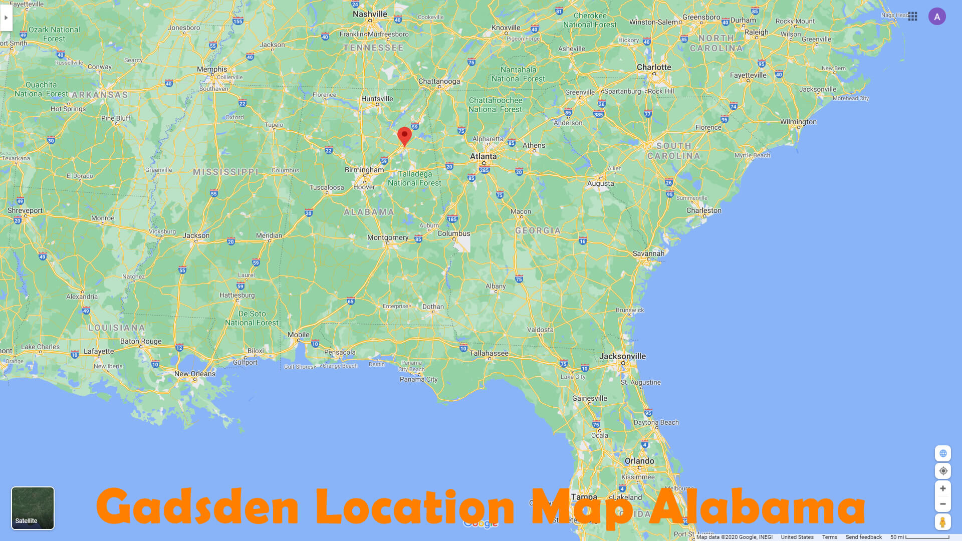
GADSDEN LOCATION MAP ALABAMA
GADSDEN MAP AL
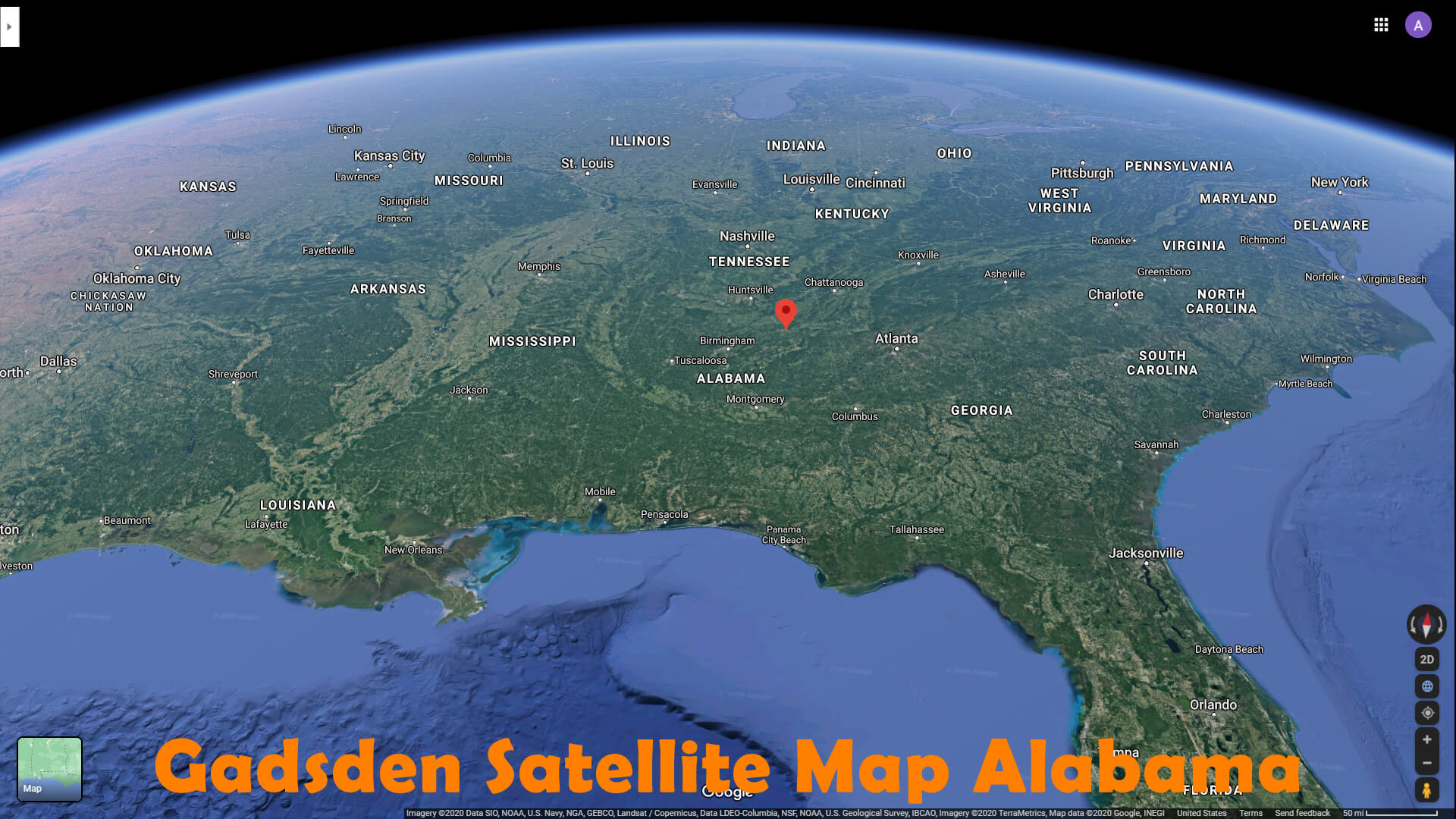
GADSDEN SATELLITE MAP ALABAMA
INTERSTATE HIGHWAY MAP OF GADSDEN IN ALABAMA
MAIN ROAD AND STREET MAP OF GADSDEN IN ALABAMA

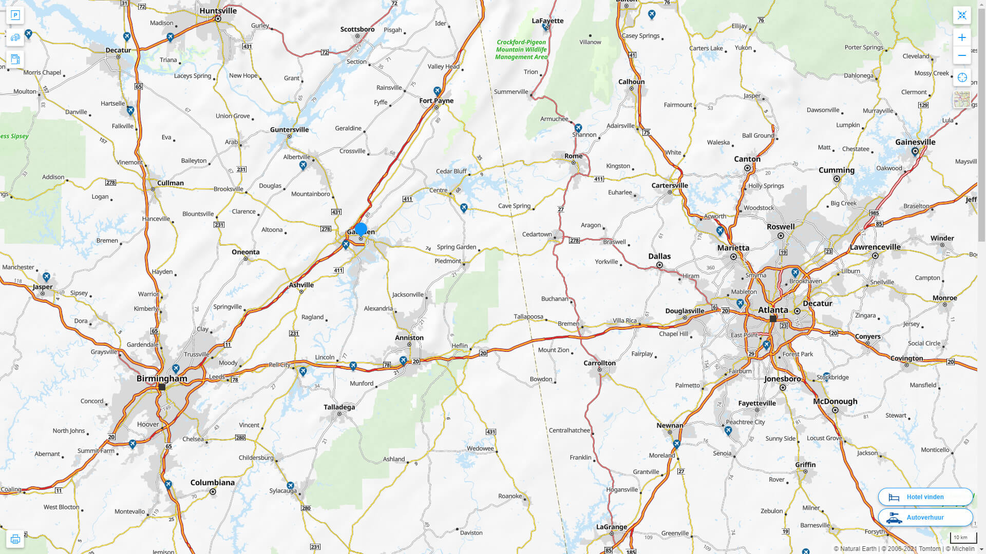
GADSDEN ALABAMA HIGHWAY AND ROAD MAP WITH SATELLITE VIEW

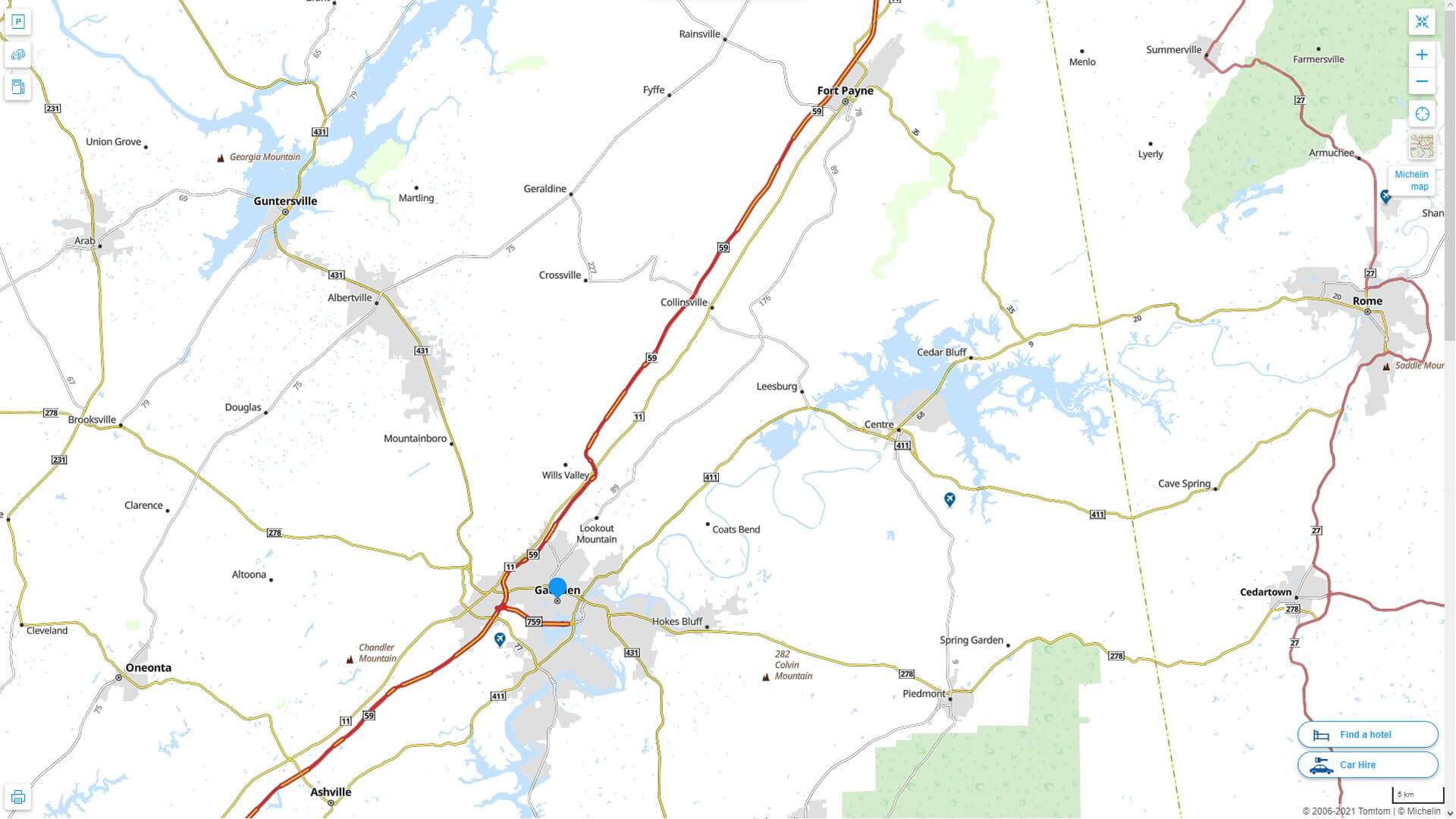
GADSDEN ALABAMA HIGHWAY AND ROAD MAP
Largest Alabama Cities by Population
Birmingham Map Montgomery Map Mobile Map Huntsville Map Tuscaloosa Map Hoover Map Dothan Map Decatur Map Auburn Map Madison Map Florence Map Gadsden Map Vestavia Hills Map Prattville Map Phenix City Map Blountsville MapEmbarking on a Southern Odyssey: The Enchanting Alabama Experience
Please subscribe on "World Guide" channnel on Youtube at youtube.com/c/WorldGuide
For all Alabama Cities Map
Gadsden Alabama Google Map, Street Views, Maps Directions, Satellite Images
WorldMap1.com offers a collection of Gadsden Alabama map, google map, Gadsden Alabama atlas, political, physical, satellite view, country infos, cities map and more map of Gadsden Alabama.