Noblesville Indiana Map
Navigate Noblesville, Indiana Map, map of Noblesville, Noblesville Indiana regions map, Noblesville satellite image, towns map, road map of Noblesville.
Noblesville Indiana Map FQA
Can I download a high-resolution map of Noblesville Indiana ?
Yes. Download high-resolution political and physical maps of Noblesville Indiana for personal or educational use. Redistribution is subject to the terms of our license.Indiana Map
States Map of USA
Map of Noblesville Indiana, Indiana
noblesville indiana map usa
A Collection of Noblesville Indiana Maps
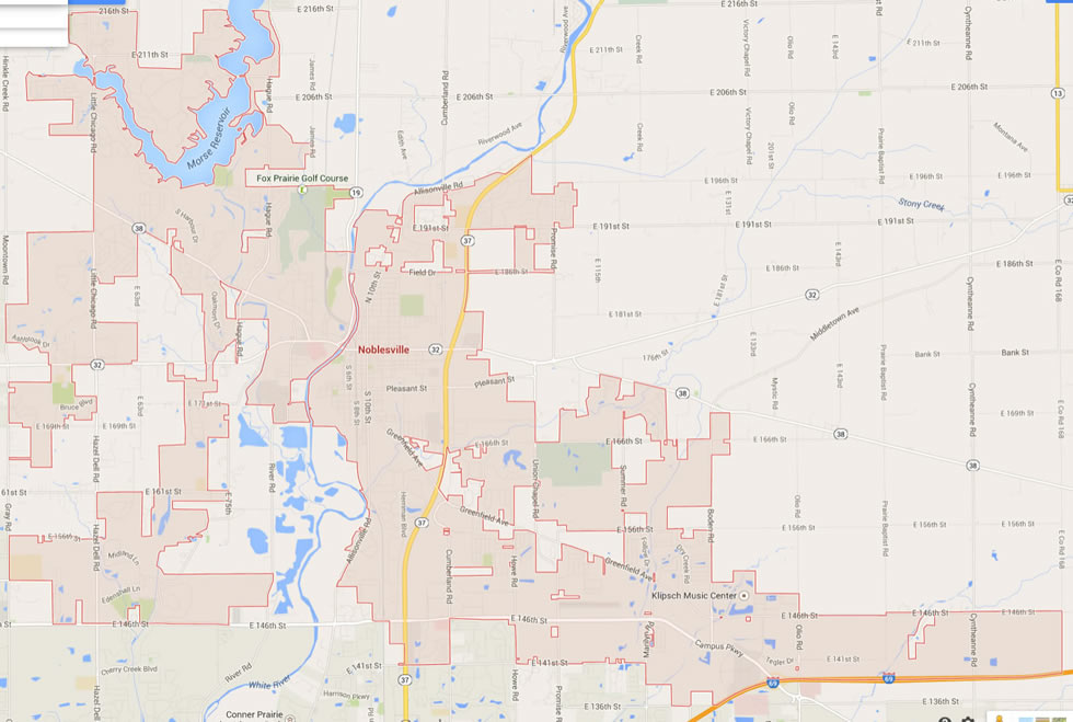
NOBLESVILLE INDIANA MAP USA
NOBLESVILLE MAP INDIANA US

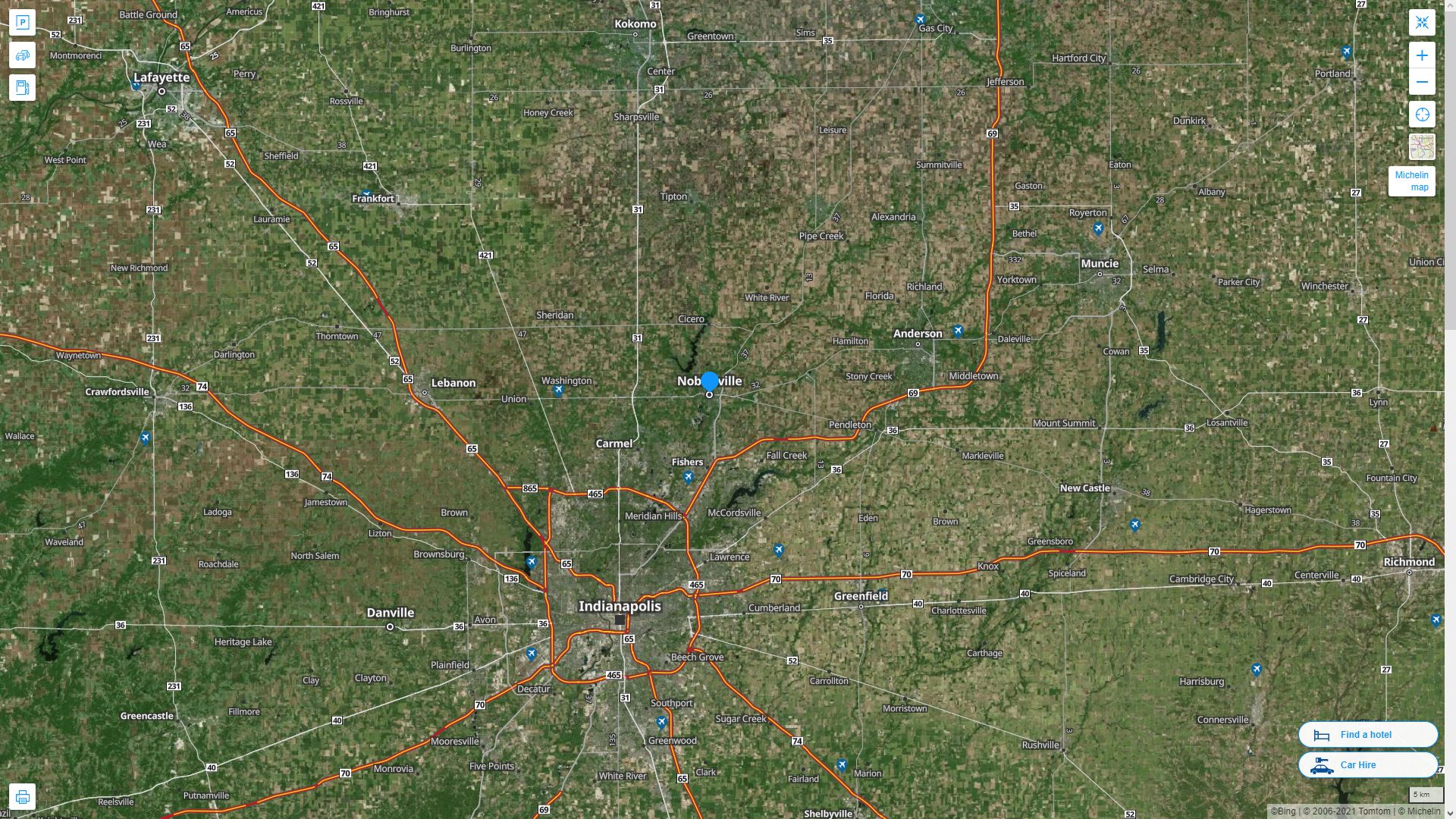
NOBLESVILLE MAP INDIANA US SATELLITE

NOBLESVILLE INDIANA HIGHWAY AND ROAD MAP WITH SATELLITE VIEW
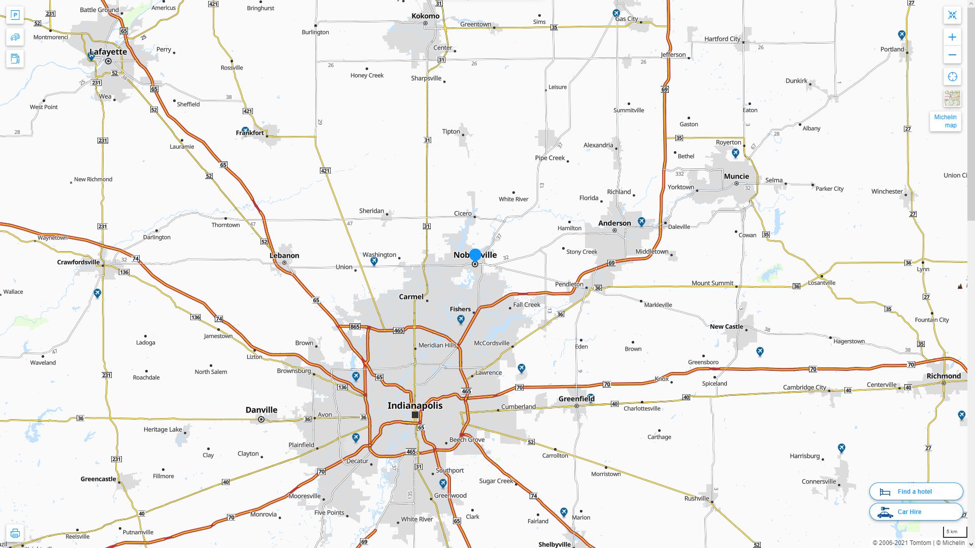
NOBLESVILLE INDIANA HIGHWAY AND ROAD MAP
Largest Indiana Cities by Population
Indianapolis Map Fort Wayne Map Evansville Map South Bend Map Hammond Map Bloomington Map Gary Map Carmel Map Fishers Map Muncie Map Lafayette Map Terre Haute Map Anderson Map Noblesville Map Elkhart MapFor all Indiana Cities Map
Noblesville Indiana Google Map, Street Views, Maps Directions, Satellite Images
WorldMap1.com offers a collection of Noblesville Indiana map, google map, Noblesville Indiana atlas, political, physical, satellite view, country infos, cities map and more map of Noblesville Indiana.