Lewiston Maine Map
Navigate Lewiston, Maine Map, map of Lewiston, Lewiston Maine regions map, Lewiston satellite image, towns map, road map of Lewiston.
Lewiston Maine Map FQA
Can I download a high-resolution map of Lewiston Maine ?
Yes. Download high-resolution political and physical maps of Lewiston Maine for personal or educational use. Redistribution is subject to the terms of our license.Maine Map
States Map of USA
Map of Lewiston Maine, Maine
Lewiston map
A Collection of Lewiston Maine Maps
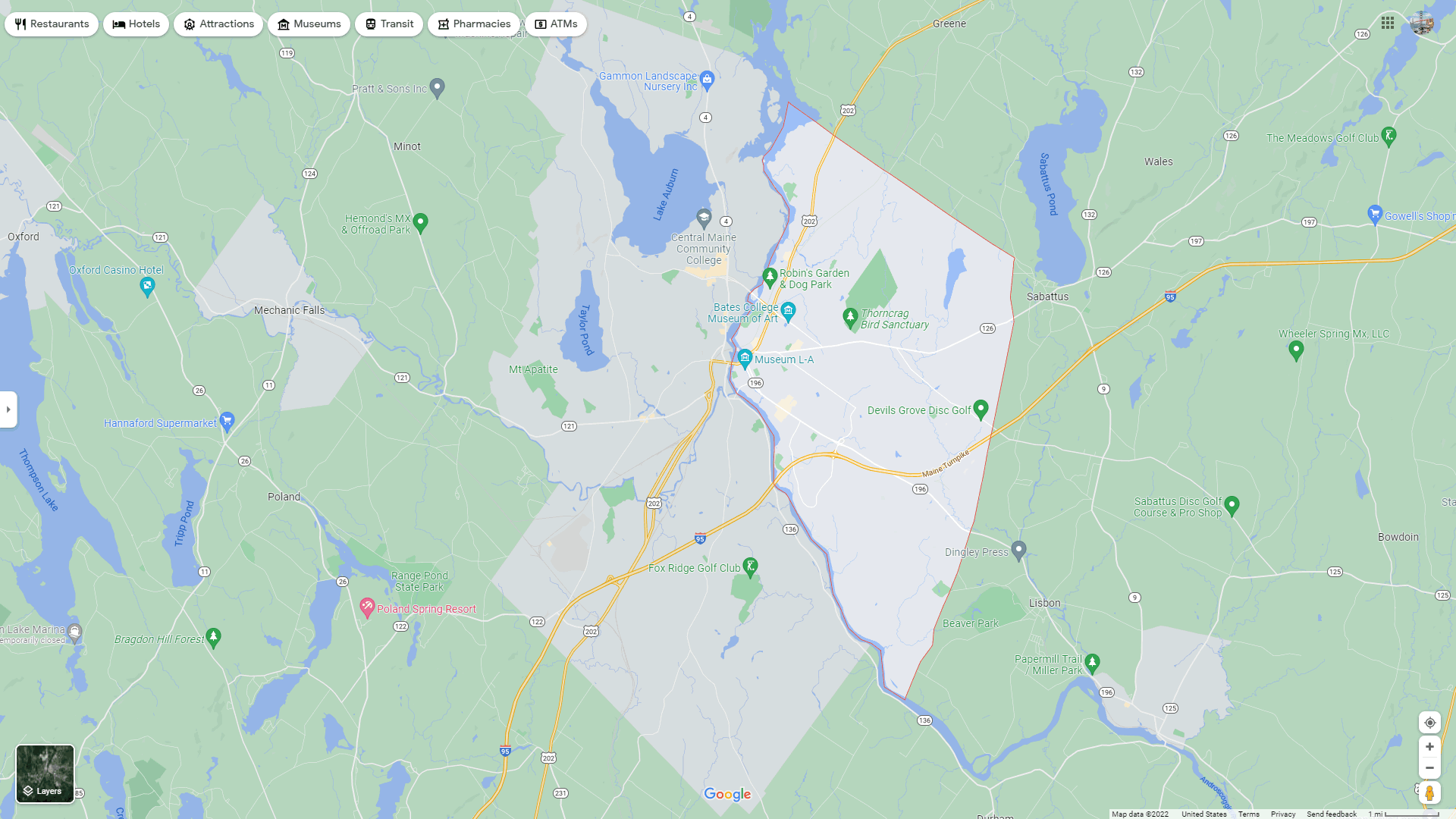
LEWISTON MAP

LEWISTON MAP MAINE
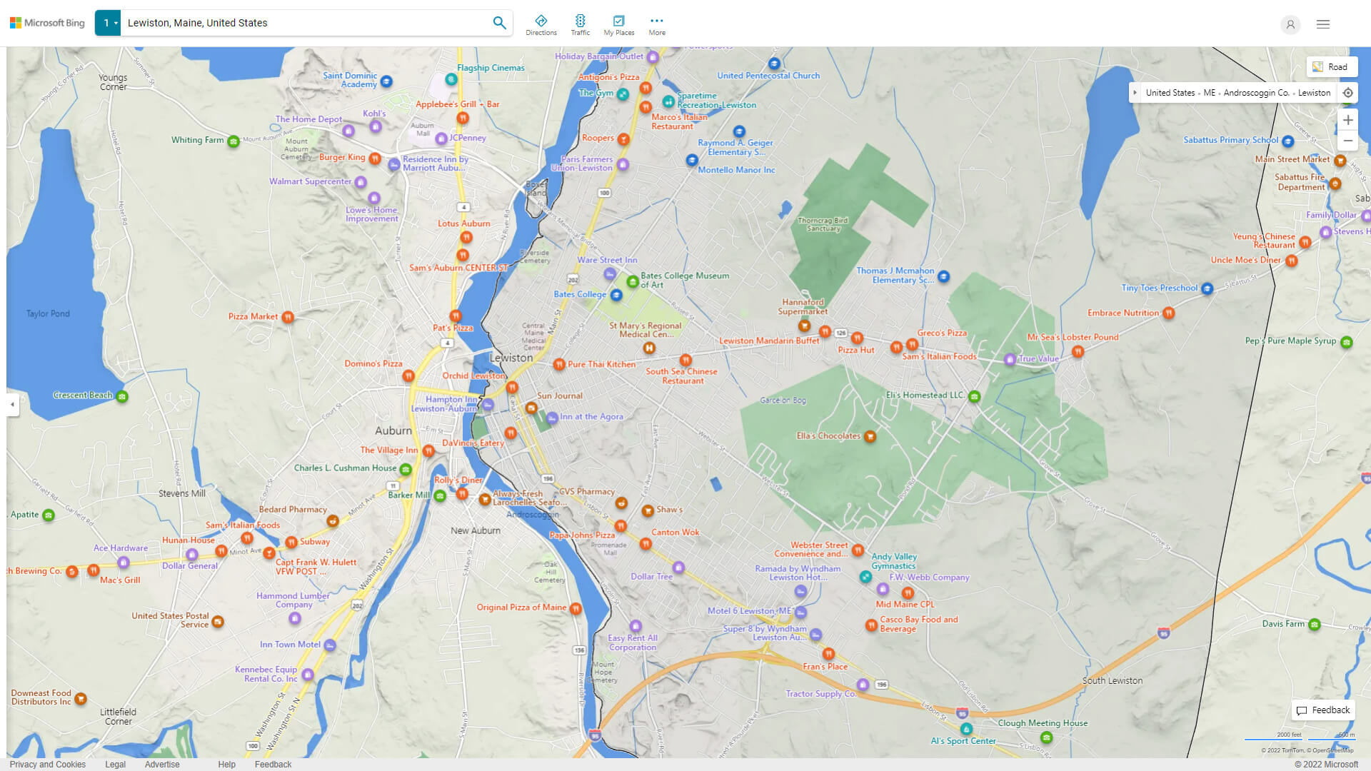
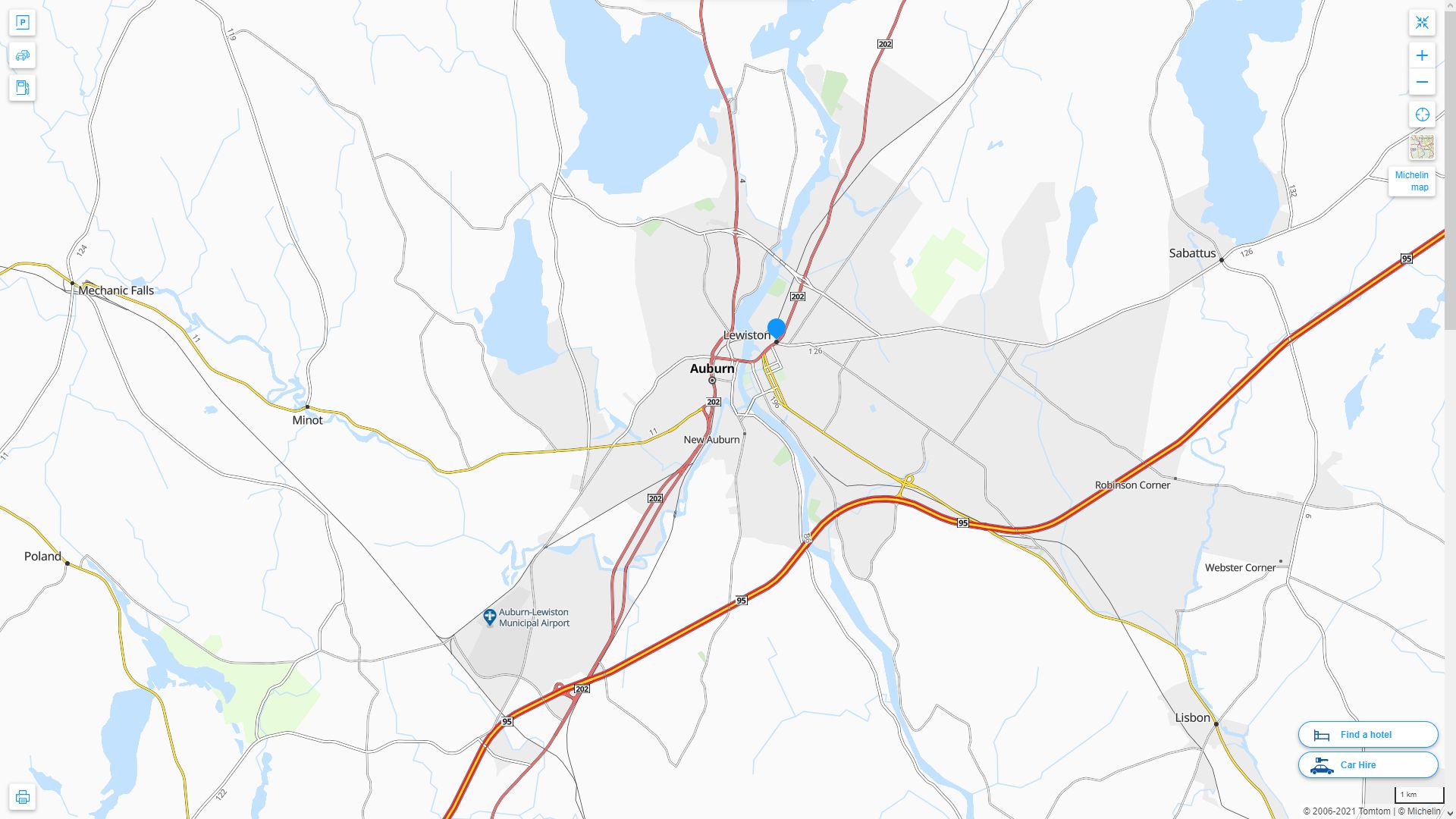
LEWISTON DETAILED MAP
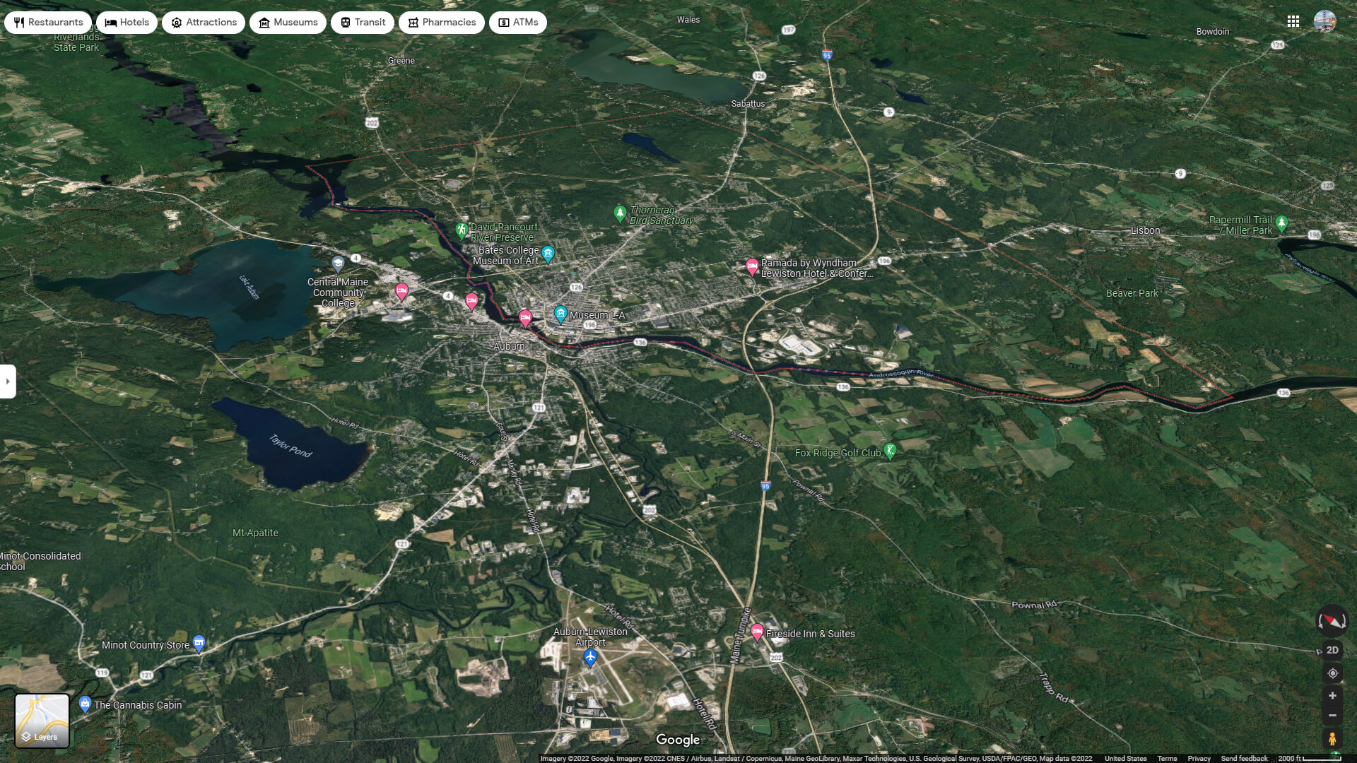
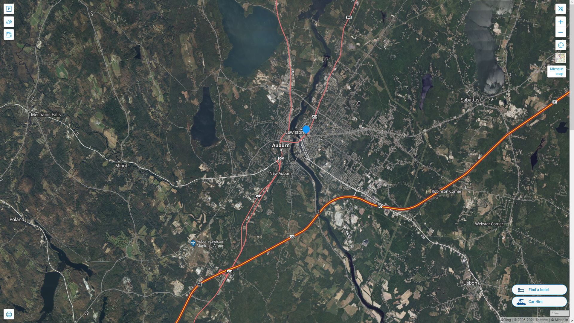
LEWISTON AERIAL MAP MAINE
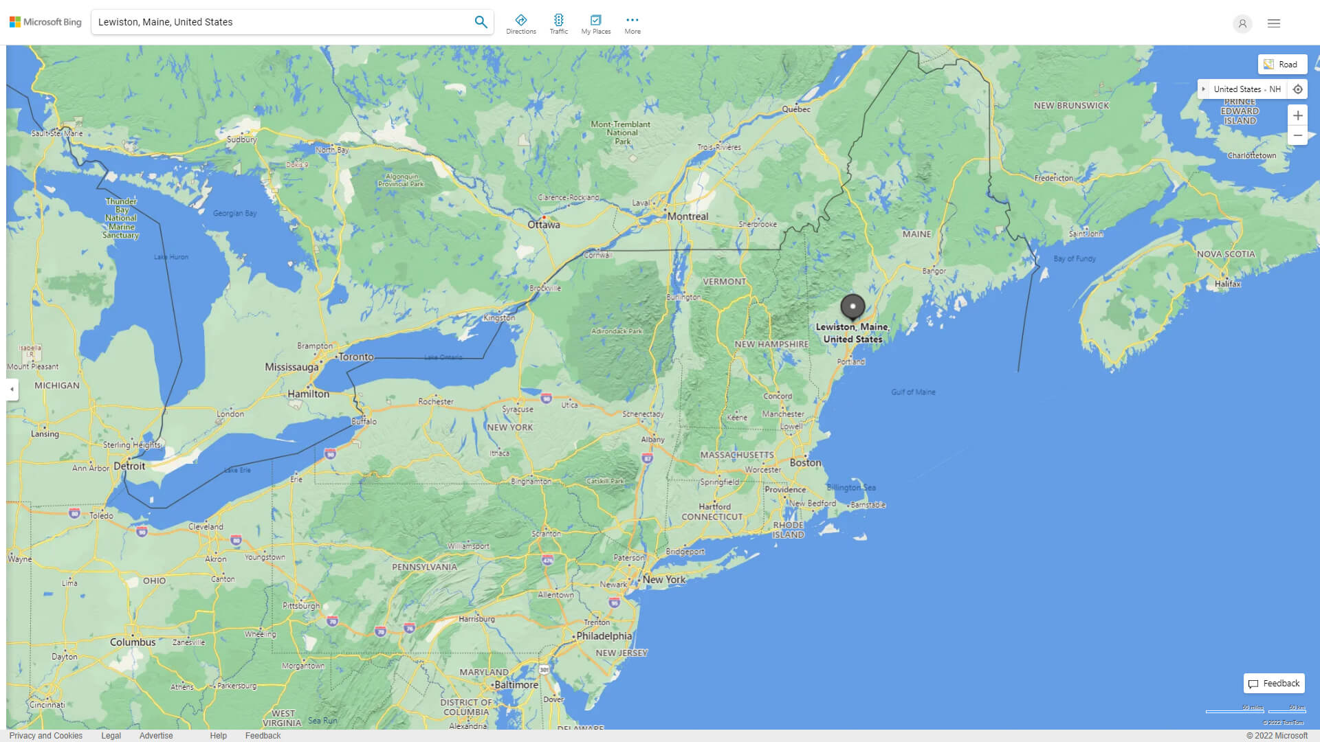
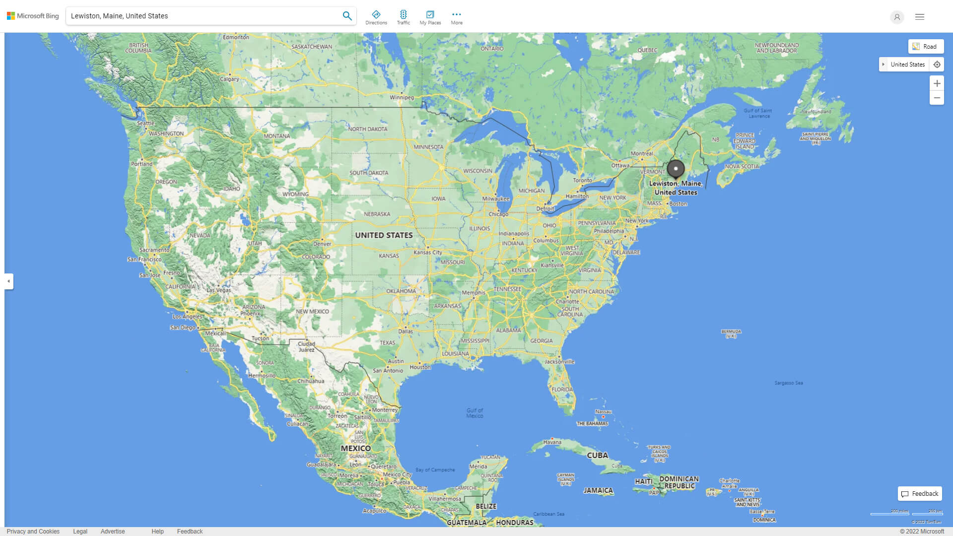
WHERE IS LEWISTON IN THE US
LEWISTON MAINE HIGHWAY AND ROAD MAP WITH SATELLITE VIEW
LEWISTON MAINE HIGHWAY AND ROAD MAP
Largest Maine Cities by Population
Portland Map Lewiston Map Bangor Map South Portland Map Auburn Map Biddeford Map Augusta Map Saco Map Westbrook Map Waterville Map Brunswick Map Sanford Map Presque Isle Map Brewer Map Orono MapFor all Maine Cities Map
Lewiston Maine Google Map, Street Views, Maps Directions, Satellite Images
WorldMap1.com offers a collection of Lewiston Maine map, google map, Lewiston Maine atlas, political, physical, satellite view, country infos, cities map and more map of Lewiston Maine.