Eden Prairie Minnesota Map
Navigate Eden Prairie, Minnesota Map, map of Eden Prairie, Eden Prairie Minnesota regions map, Eden Prairie satellite image, towns map, road map of Eden Prairie.
Eden Prairie Minnesota Map FQA
Can I download a high-resolution map of Eden Prairie Minnesota ?
Yes. Download high-resolution political and physical maps of Eden Prairie Minnesota for personal or educational use. Redistribution is subject to the terms of our license.Minnesota Map
States Map of USA
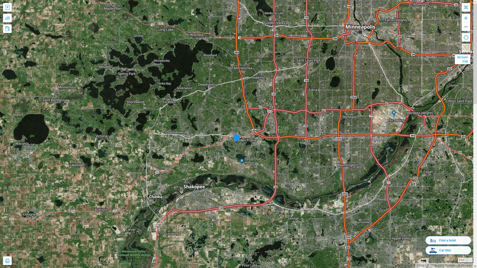
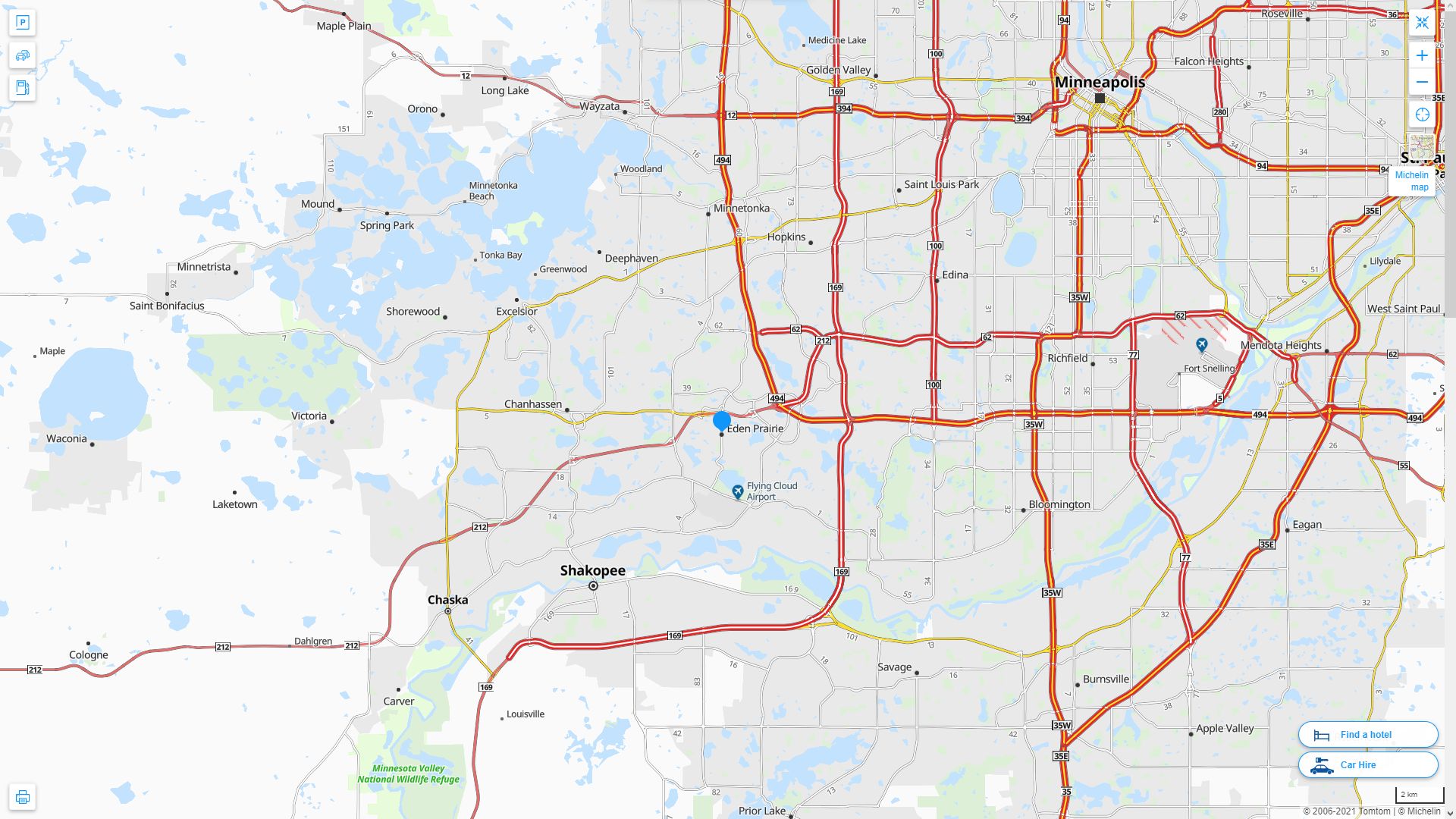
Map of Eden Prairie Minnesota, Minnesota
eden prairie minnesota map usa

A Collection of Eden Prairie Minnesota Maps
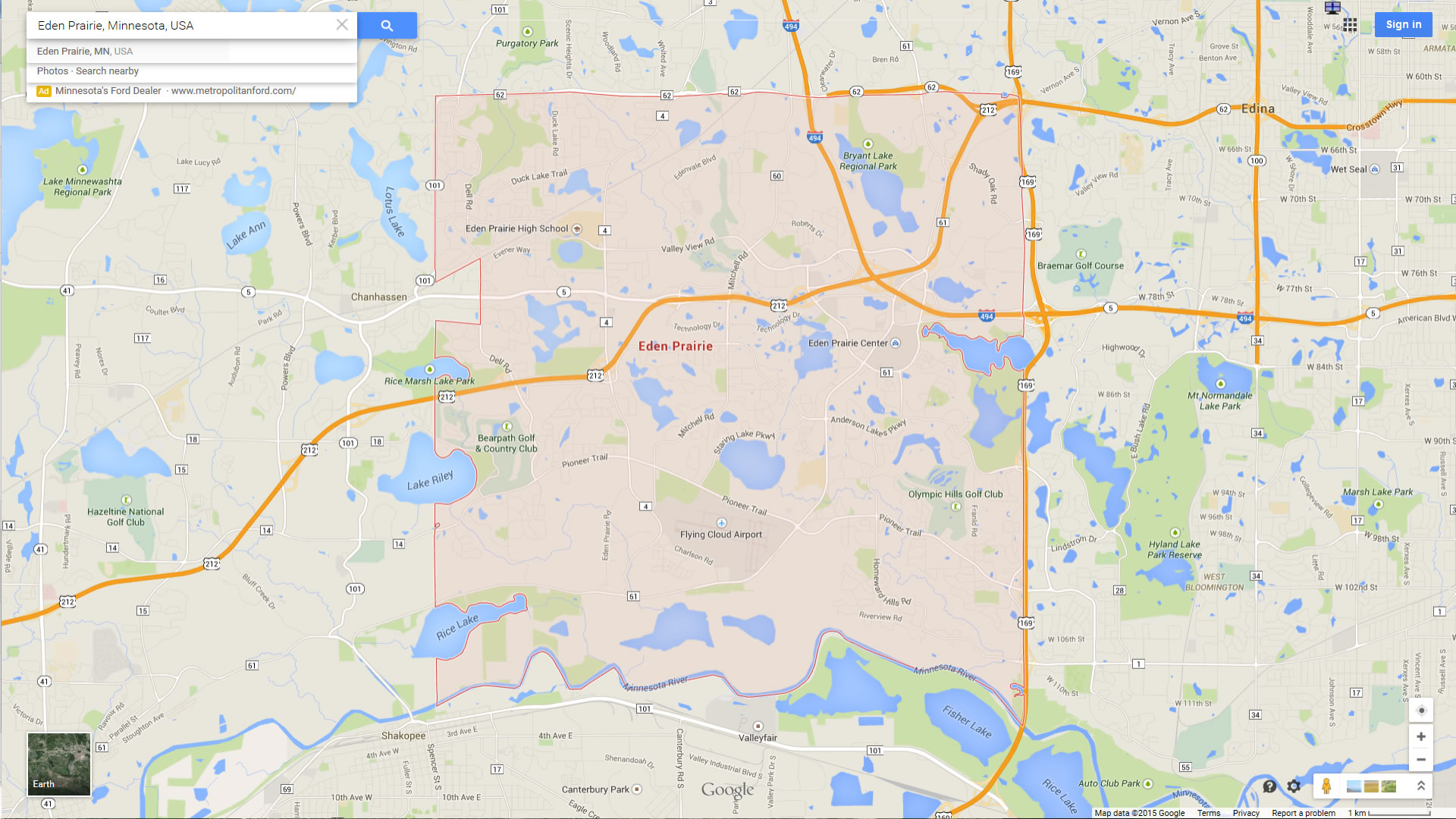
EDEN PRAIRIE MINNESOTA MAP USA
EDEN PRAIRIE MAP MINNESOTA US
EDEN PRAIRIE MAP MINNESOTA US SATELLITE
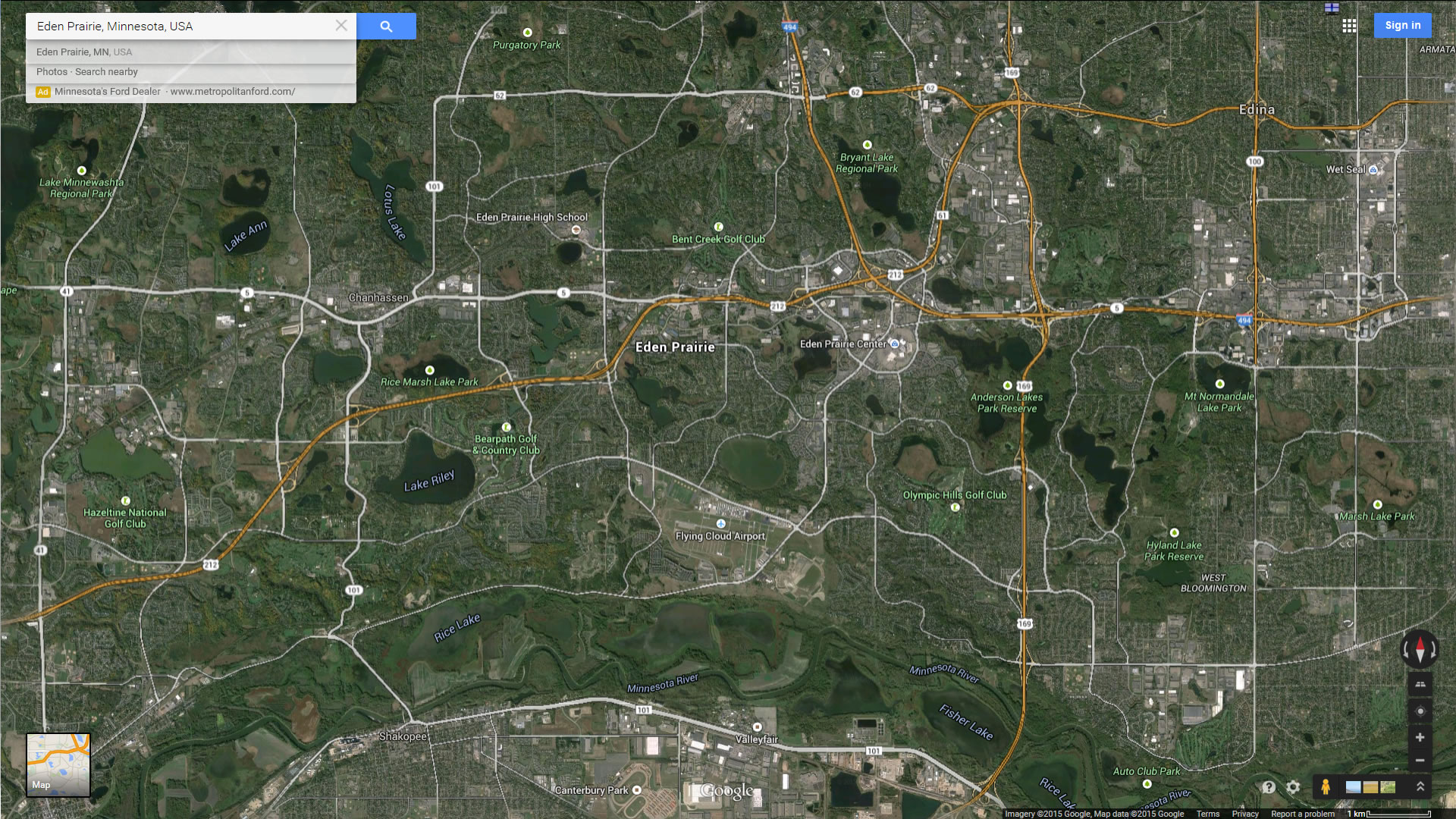
EDEN PRAIRIE MINNESOTA HIGHWAY AND ROAD MAP WITH SATELLITE VIEW
EDEN PRAIRIE MINNESOTA HIGHWAY AND ROAD MAP
Largest Minnesota Cities by Population
Minneapolis Map St. Paul Map Rochester Map Duluth Map Bloomington Map Brooklyn Park Map Plymouth Map St. Cloud Map Eagan Map Woodbury Map Maple Grove Map Coon Rapids Map Eden Prairie Map Burnsville Map Blaine Map Lakeville MapFor all Minnesota Cities Map
Eden Prairie Minnesota Google Map, Street Views, Maps Directions, Satellite Images
WorldMap1.com offers a collection of Eden Prairie Minnesota map, google map, Eden Prairie Minnesota atlas, political, physical, satellite view, country infos, cities map and more map of Eden Prairie Minnesota.