Sandy Utah Map
Navigate Sandy, Utah Map, map of Sandy, Sandy Utah regions map, Sandy satellite image, towns map, road map of Sandy.
Sandy Utah Map FQA
Can I download a high-resolution map of Sandy Utah ?
Yes. Download high-resolution political and physical maps of Sandy Utah for personal or educational use. Redistribution is subject to the terms of our license.Utah Map
States Map of USA
Map of Sandy Utah, Utah
Sandy map
A Collection of Sandy Utah Maps
SANDY MAP

SANDY MAP UTAH
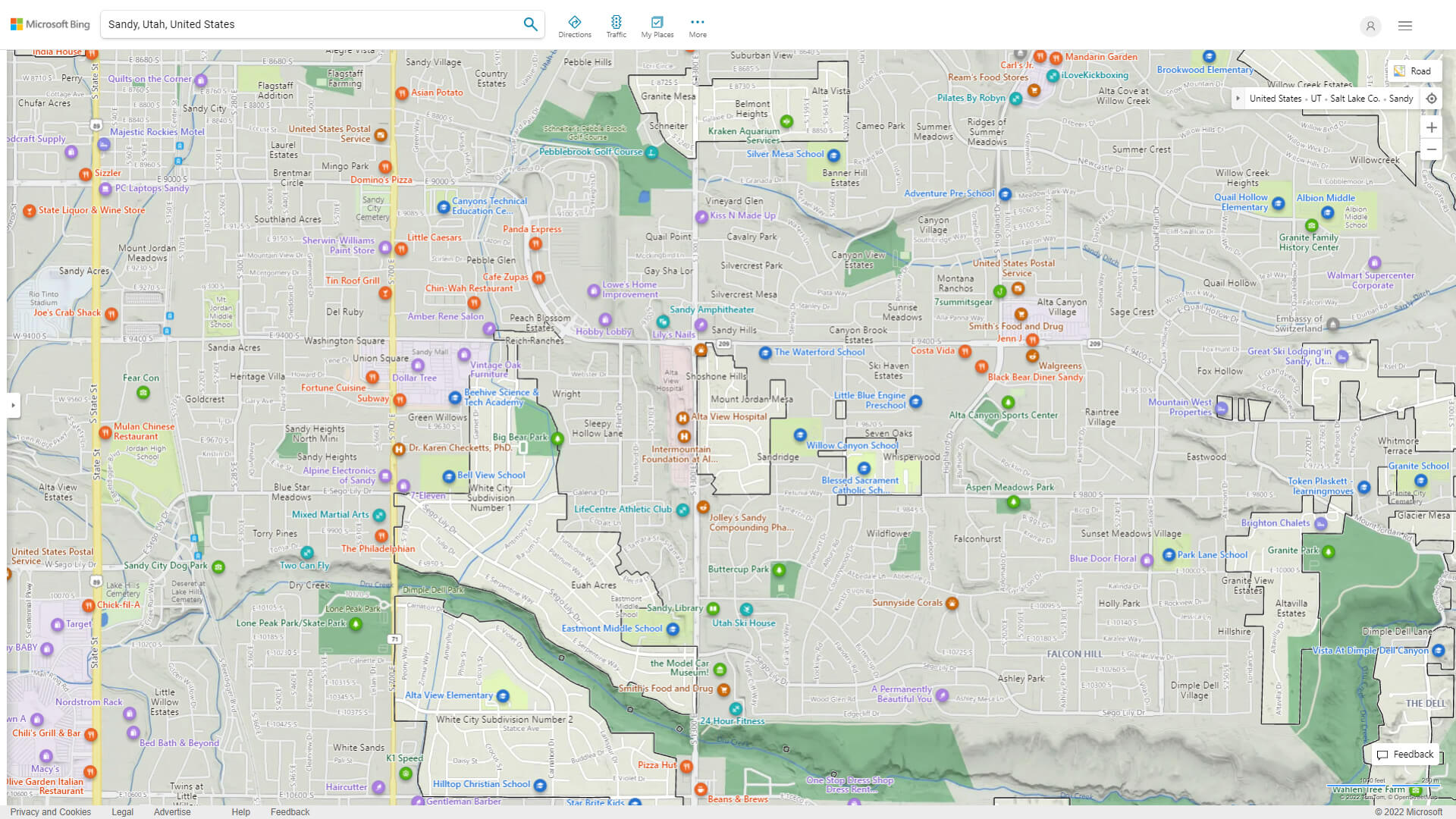
SANDY DETAILED MAP
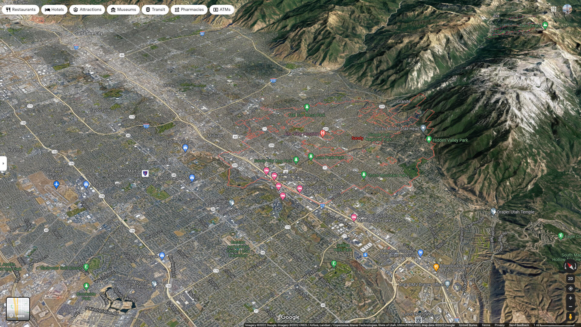
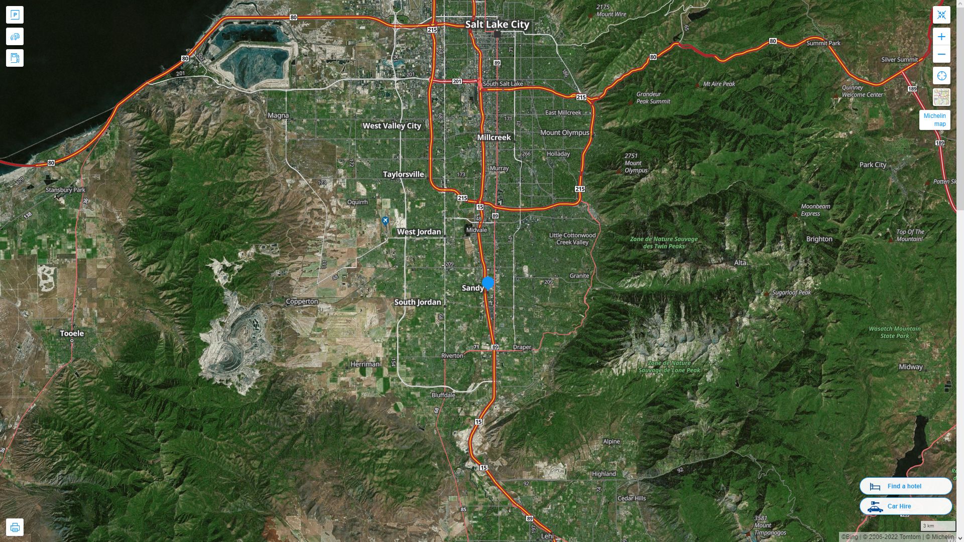
SANDY AERIAL MAP UTAH
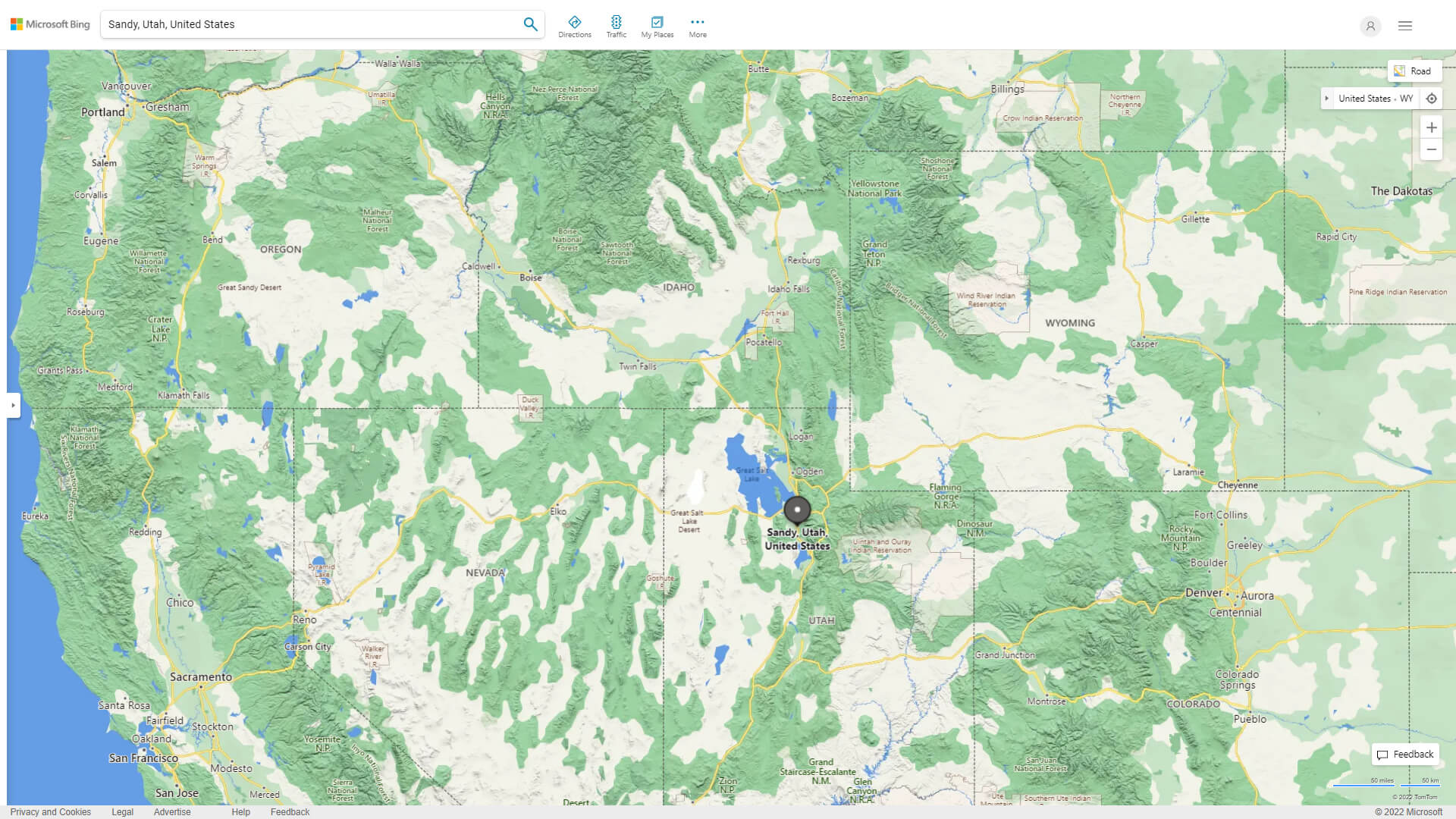
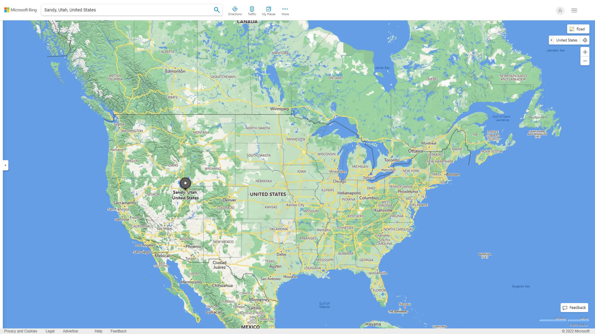
WHERE IS SANDY IN THE US
SANDY UTAH HIGHWAY AND ROAD MAP WITH SATELLITE VIEW
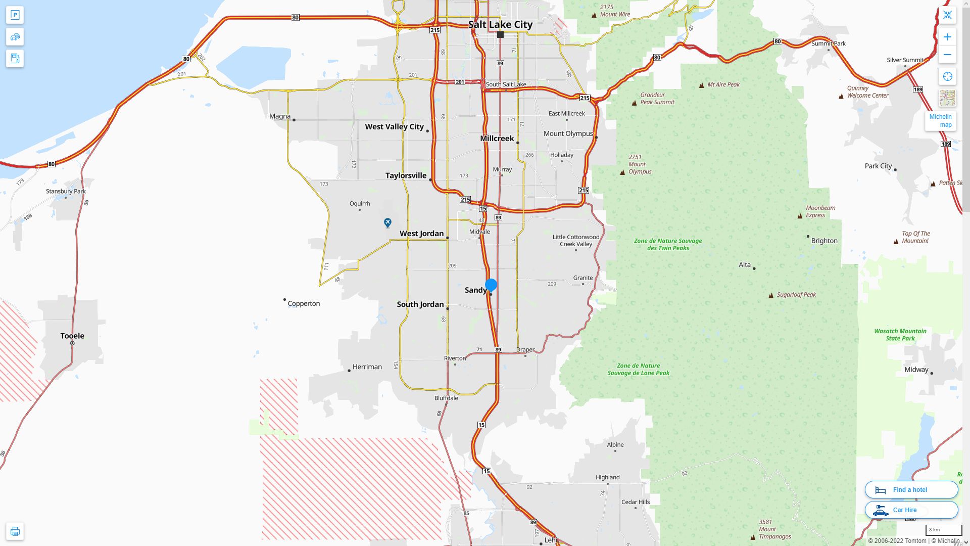
SANDY UTAH HIGHWAY AND ROAD MAP
Largest Utah Cities by Population
Salt Lake City Map West Valley City Map Provo Map West Jordan Map Orem Map Sandy Map Ogden Map St. George Map Layton Map Millcreek Map Taylorsville Map South Jordan Map Logan Map Lehi Map Murray MapFor all Utah Cities Map
Sandy Utah Google Map, Street Views, Maps Directions, Satellite Images
WorldMap1.com offers a collection of Sandy Utah map, google map, Sandy Utah atlas, political, physical, satellite view, country infos, cities map and more map of Sandy Utah.